
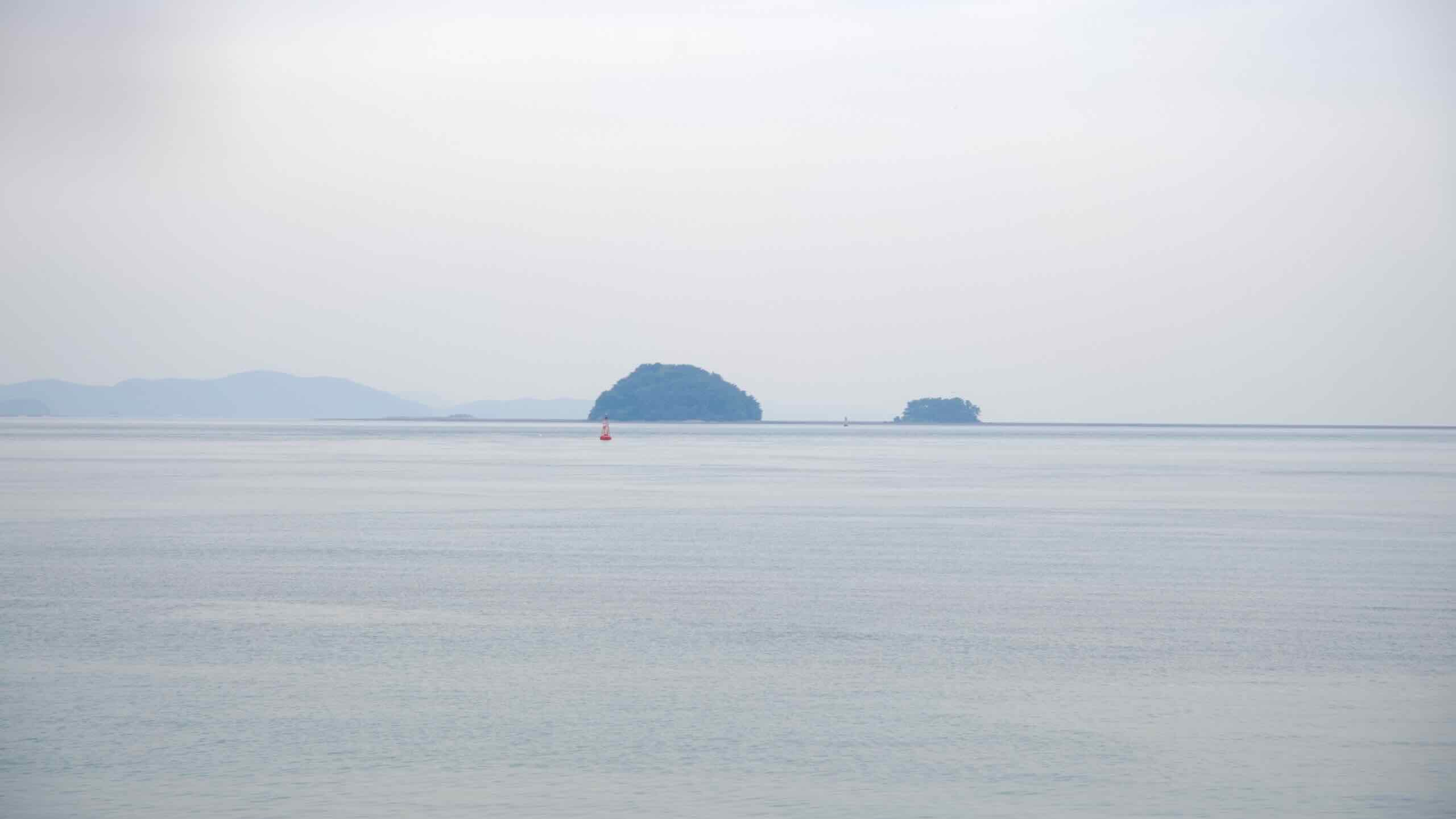
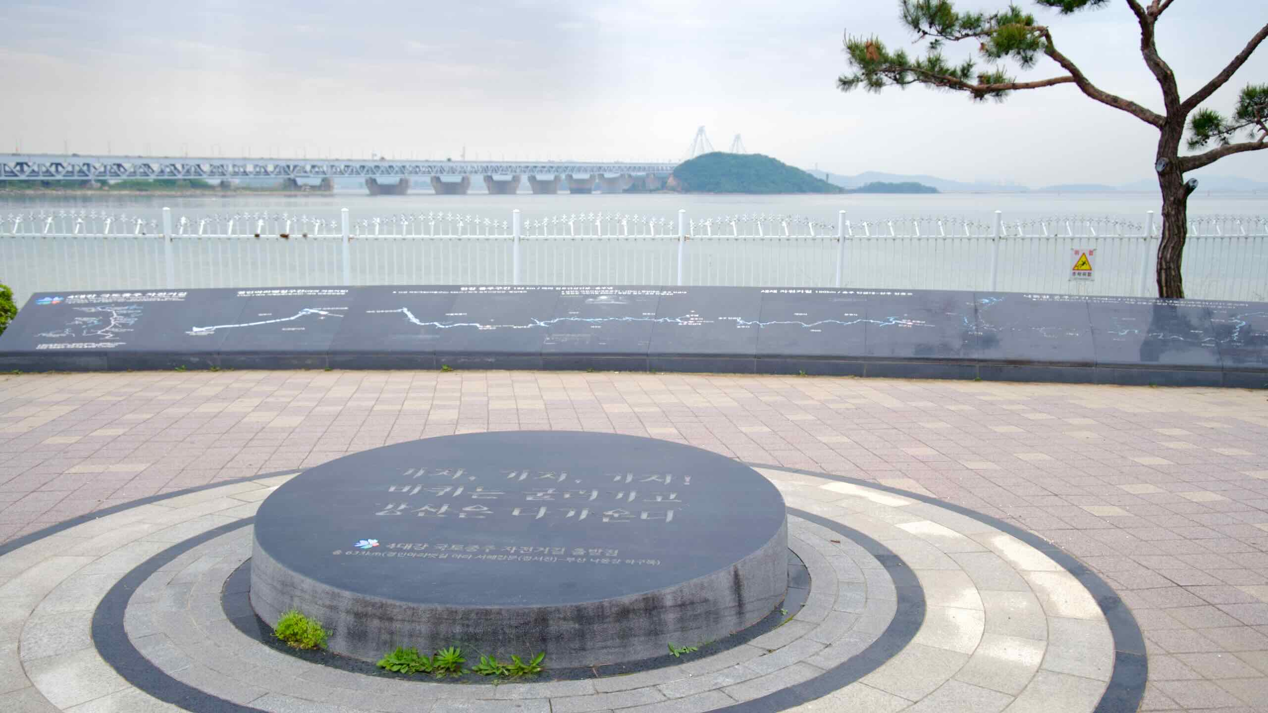

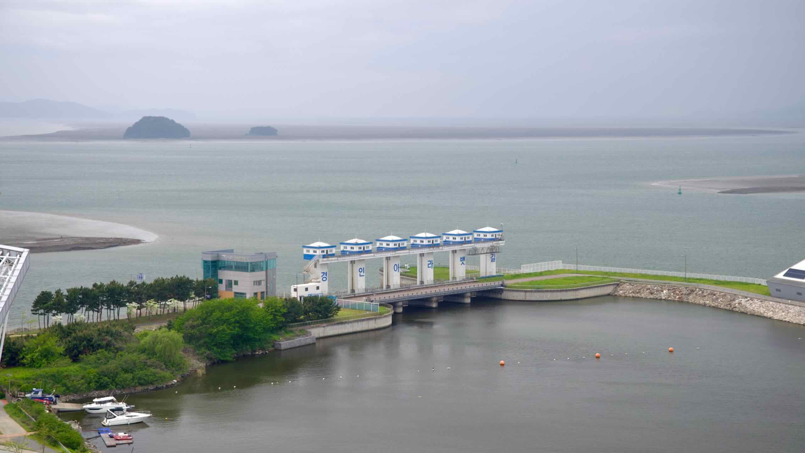


The Ara Bike Path begins on the edge of the Yellow Sea (황해; map; West Sea). Gaze westward. When the tide ebbs, you’ll see a vast muddy expanse surrounding Yeongjong Bridge (영종대교; map) and Yeongjong Island (영종도; map) where Incheon International Airport hums.
Ever wonder where the name “Yellow Sea” comes from? Year-round westward winds swipe sediment from China’s Gobi Desert and deposit thin sheets of yellow sand atop the sea’s waves as it crosses towards the Korean peninsula.
Two seas lie dominate South Korea’s coasts. The East Sea, or Sea of Japan, in the east. And the West Sea, or Yellow Sea, in the west.
Not only are the seas located on opposite sides of the country, but their topographies and characteristics are inverted.
Let’s compare.
The Yellow Sea doesn’t just support marine life. When water recedes, it becomes the world’s largest tidal mudflats. It may look like an endless expanse of bland, brown goop. But it teams with life, facilitating an awe-inspiring display of endurance and perseverance.
Come spring and fall, this muddy underbelly becomes a major stop for migratory birds on the East Asian–Australasian Flyway. Tens of millions of birds fly non-stop as much as 9,600 kilometers (6,000 mi), from as far away as Australia and New Zealand.
Once they reach the Yellow Sea, they land and eat. They jab their beaks into the sticky mud and root around for worms, mollusks, and shrimp wriggling just underneath.
During the migratory season, waves of birds pause for a few days and gorge their shrunken organs. They double their body weight to prepare for the next 8,000 kilometers (5,000 mi) leg of their journey up to the thawing tundras of Siberia and Alaska.
From the Ara Bike Path’s starting point, you might spot a spoon-billed sandpiper grabbing a tiny crab from the dank dredges of the Yellow Sea’s mudflats at low tide. Or a red-crowned crane resting before continuing its annual migration marathon.
Become a member and browse exclusive and ad-free content on Korea by Bike.
Subscribe for updates.
회원이 되어 Korea by Bike의 독점 및 광고가 없는 콘텐츠를 검색하십시오.
업데이트를 구독합니다.