The North Han River (북한강; map; Bukhangang) is a major tributary of the Han River, Korea’s most culturally significant waterway. Stretching 317 kilometers with a 10,834-square-kilometer basin, it flows from its source at Mount Kumgang in North Korea, the river threads through Gangwon and Gyeonggi Provinces before merging with the South Han River at Yangsu Village to form the Han River.
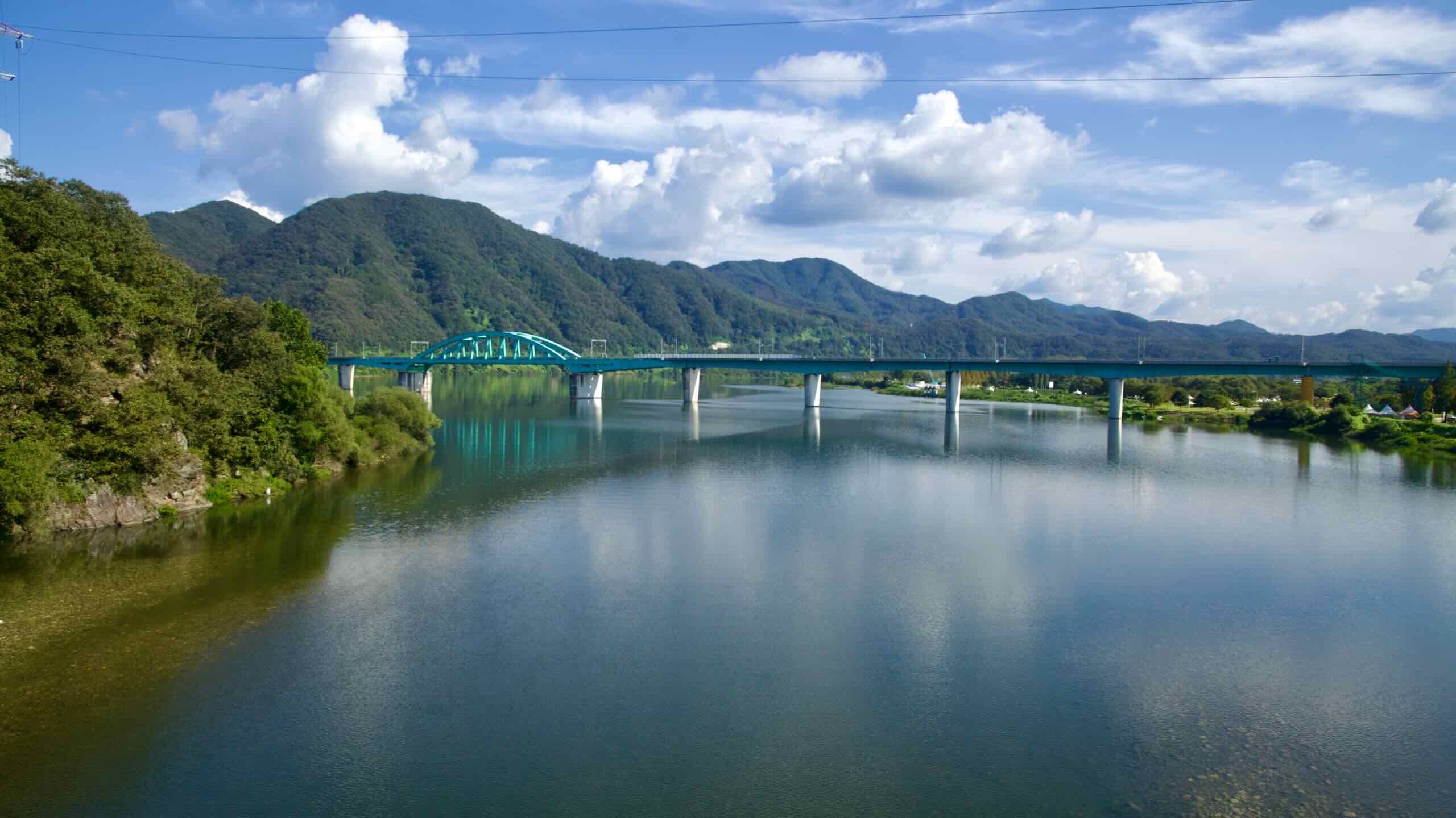
With its strong current, the North Han River is an excellent waterway for dam construction, forming lakes like Paro Lake and Chuncheon Lake, which provide irrigation, hydroelectric power, and places for water recreation. The North Han River also plays a central role in Korea’s cultural and ecological heritage, linking communities and fostering biodiversity.
Geography
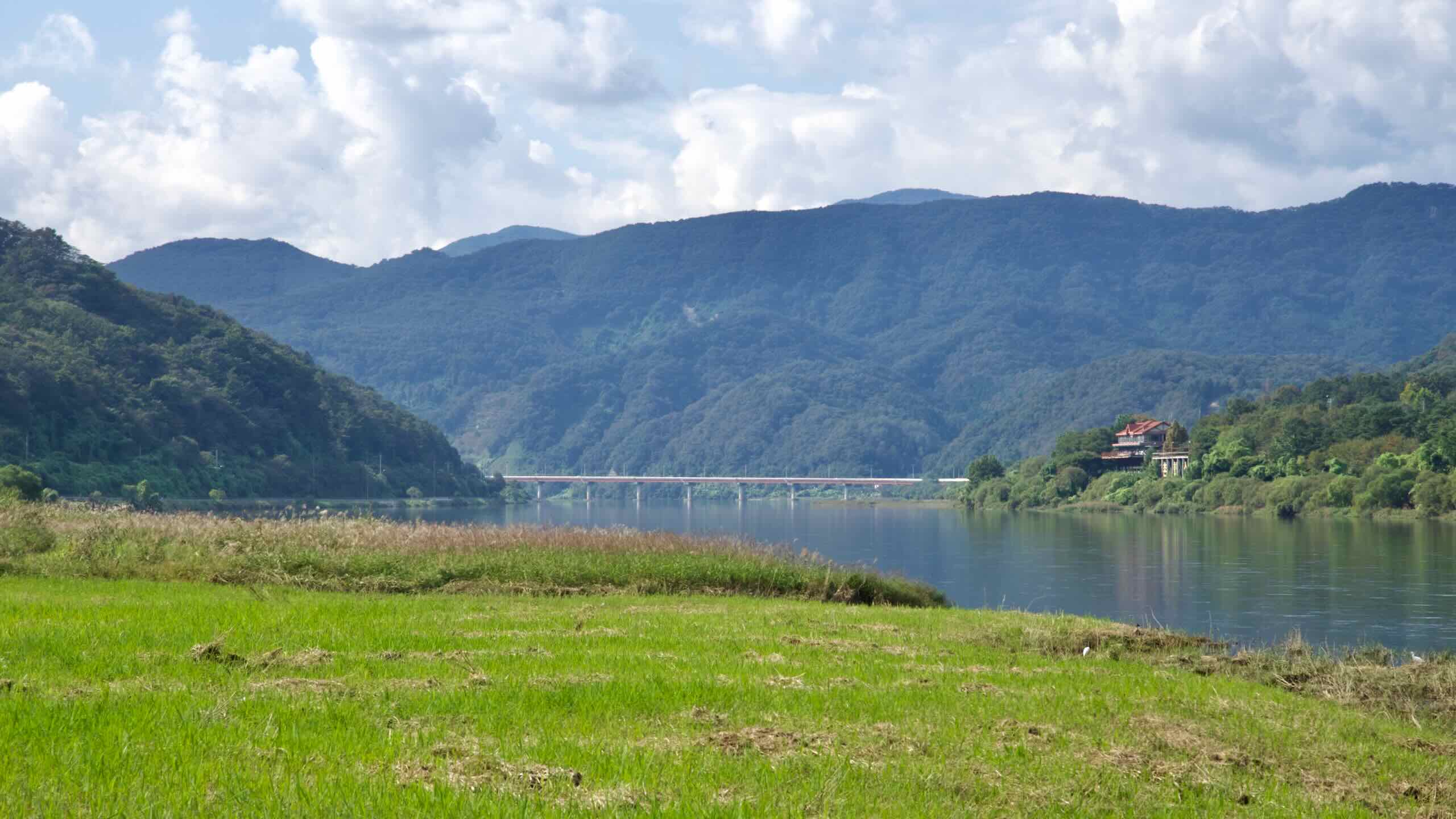
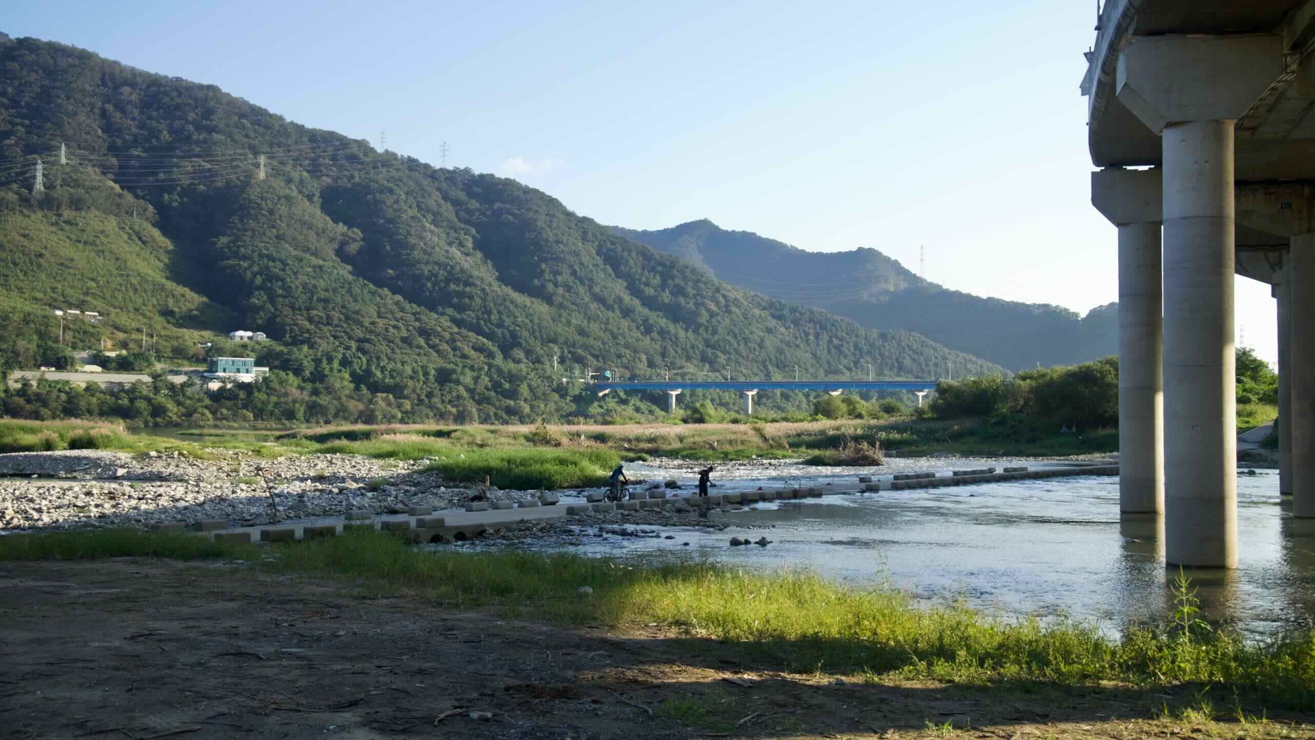
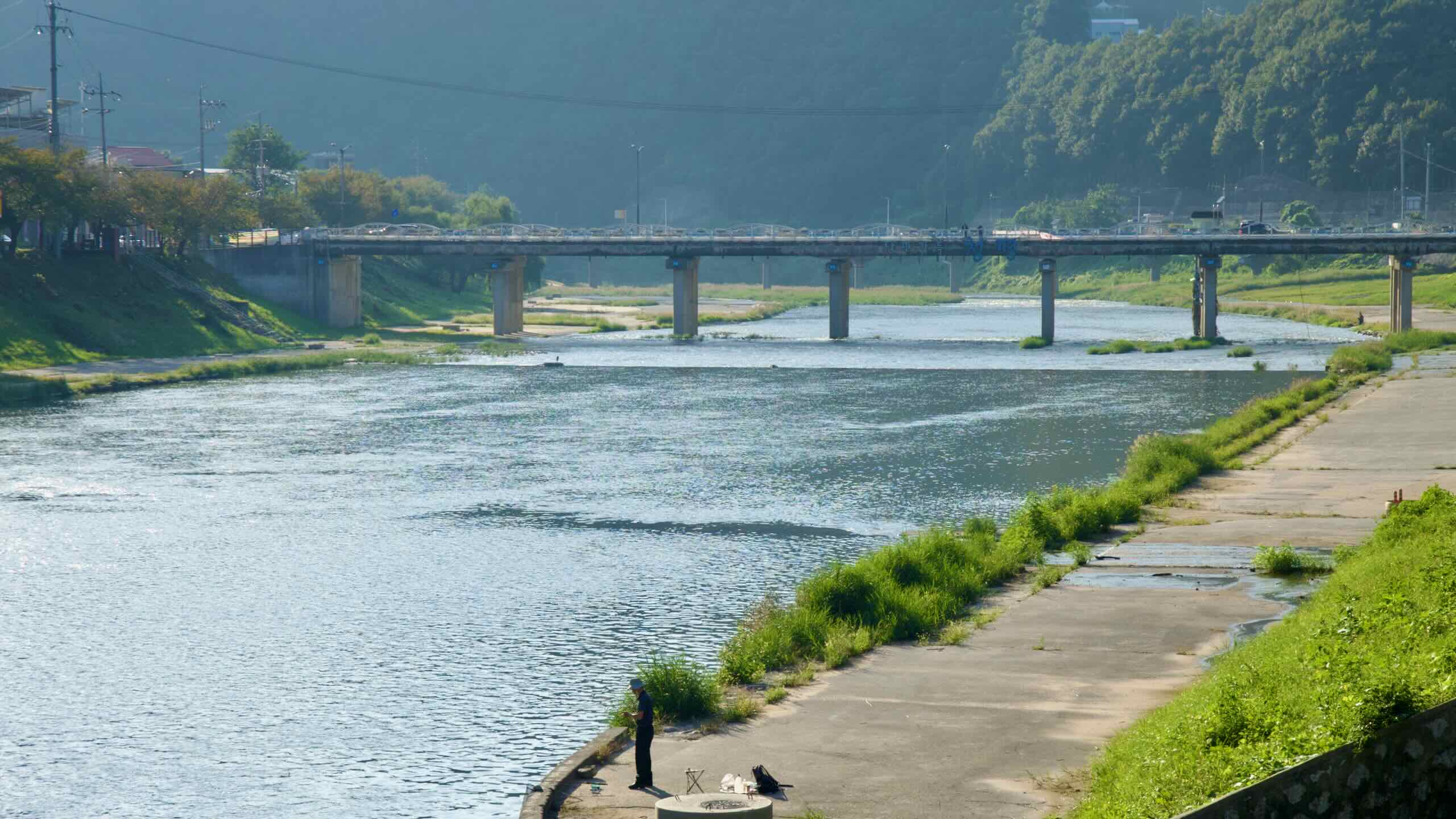
The North Han River (Bukhangang) originates on the slopes of Mount Kumgang (금강산; map) in North Korea, a mountain celebrated for its rugged beauty and cultural significance. From its source, the river meanders southward, entering South Korea near Hwacheon County (화천군) in Gangwon Province. Along its journey, it collects waters from several tributaries, most notably the Geumgang Stream and Soyang River.
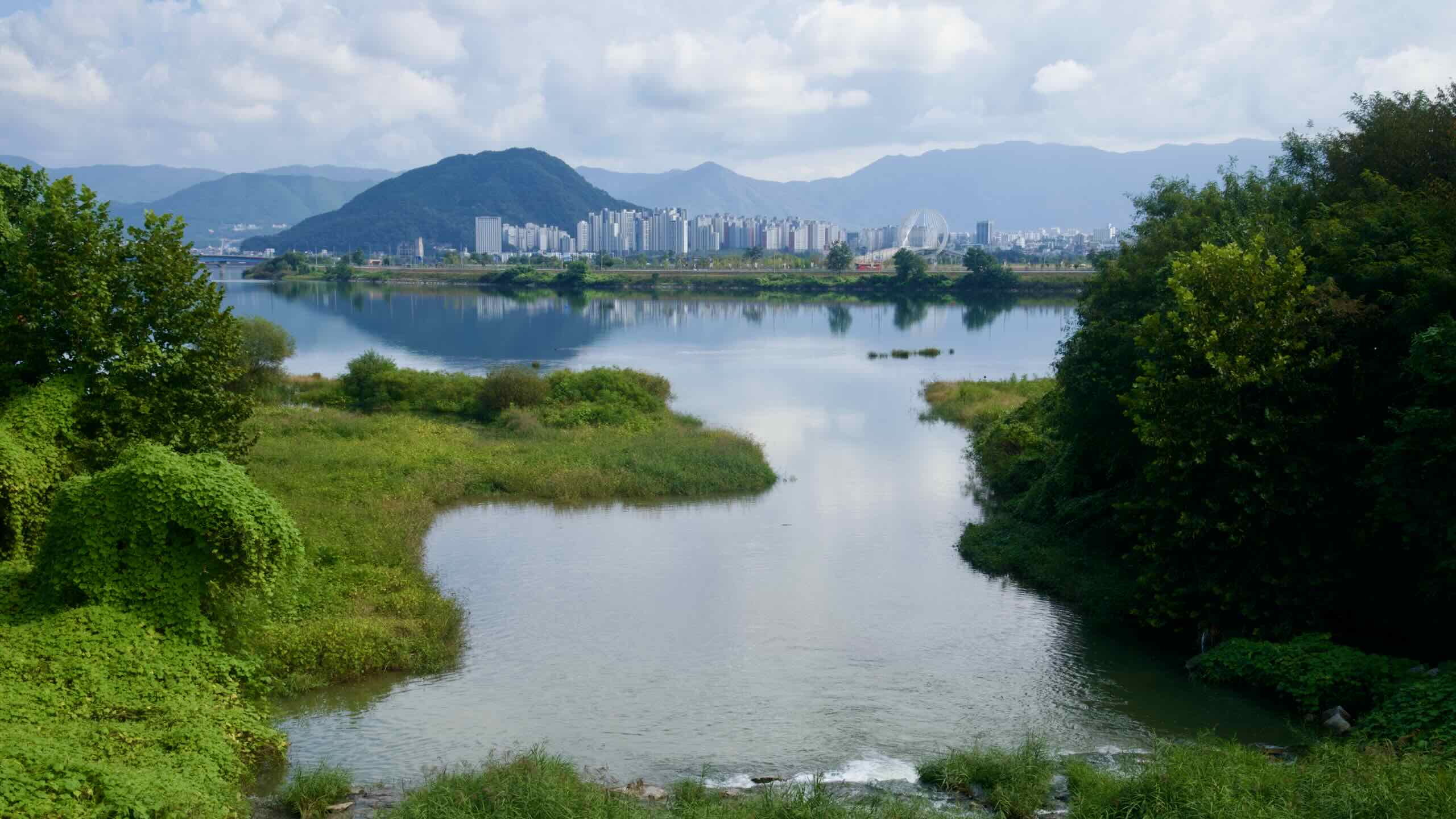
These tributaries enhance the river’s volume and create a robust flow that supports agriculture, power generation, and ecosystems along its banks. The North Han River ultimately converges with the South Han River (남한강; Namhangang) at Yangsu Village in Gyeonggi Province. This confluence, known as Dumulmeori (두물머리), marks the start of the main Han River, a waterway central to South Korea’s cultural and economic life.
Dams and Lakes
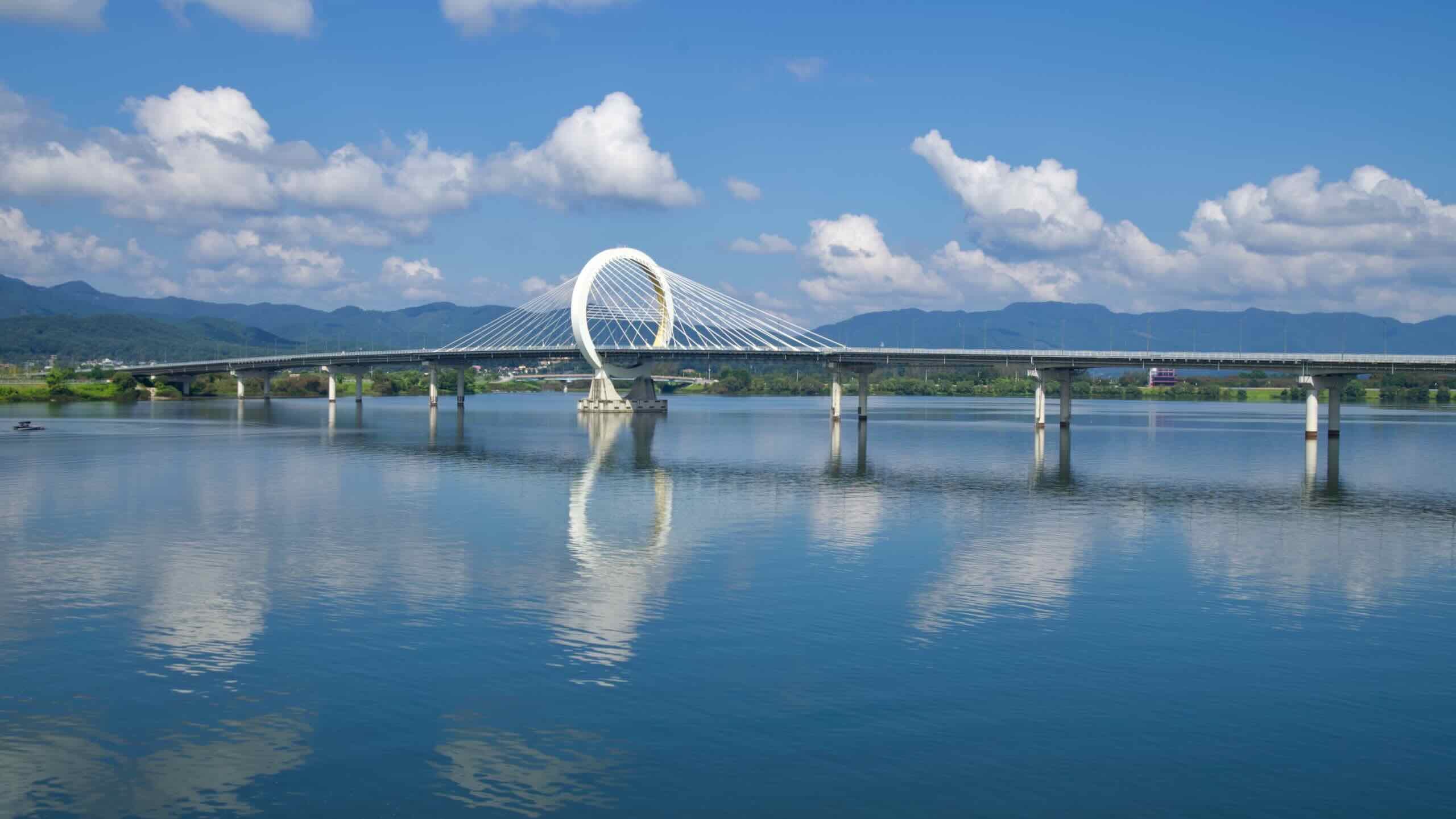
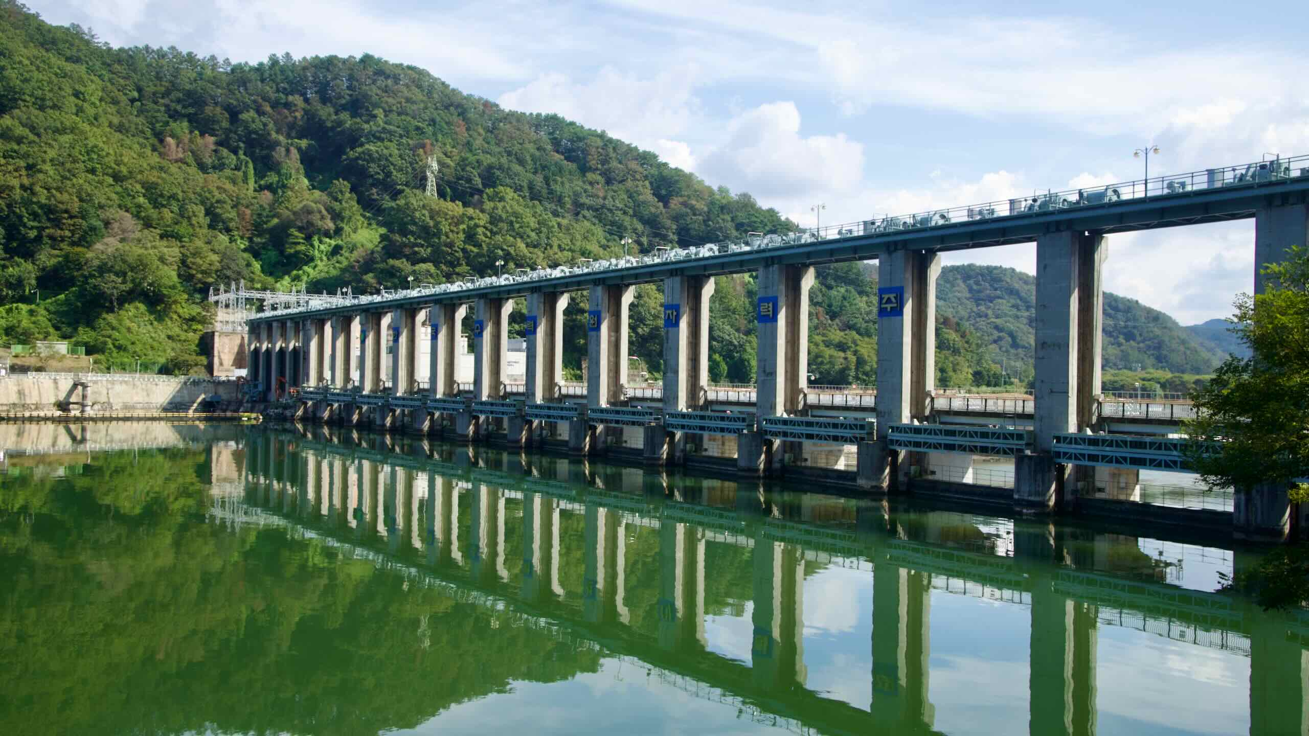
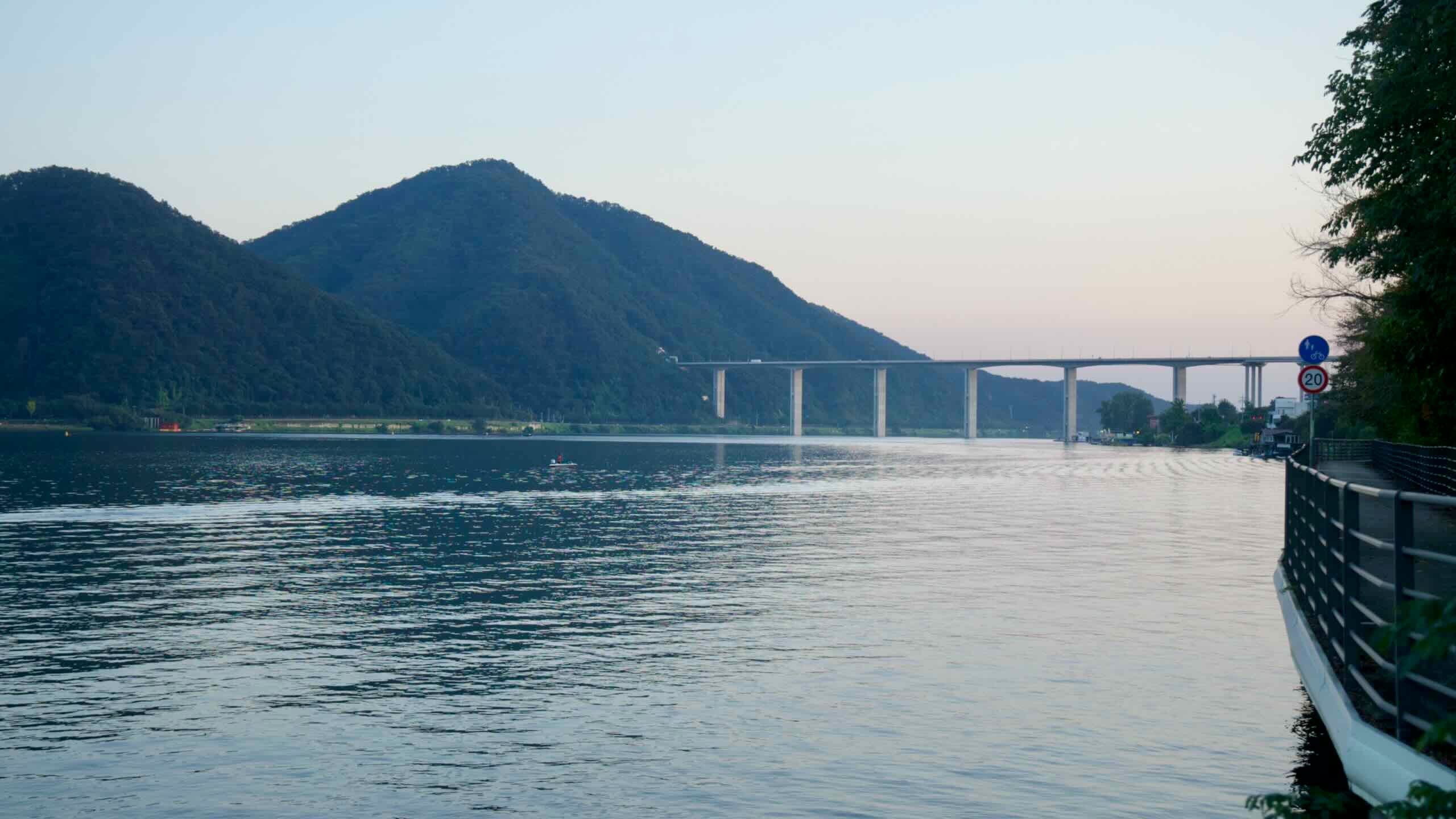
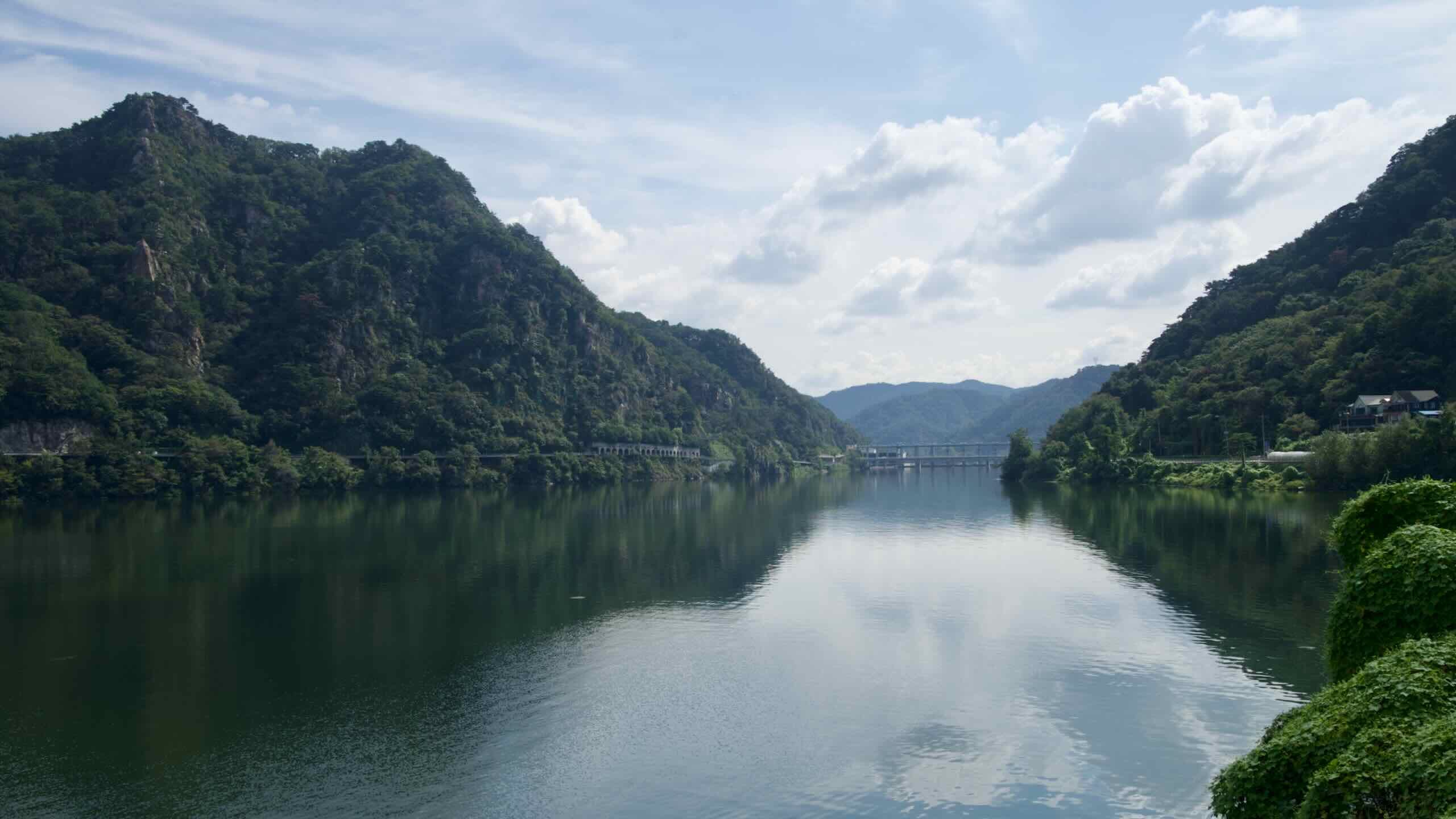
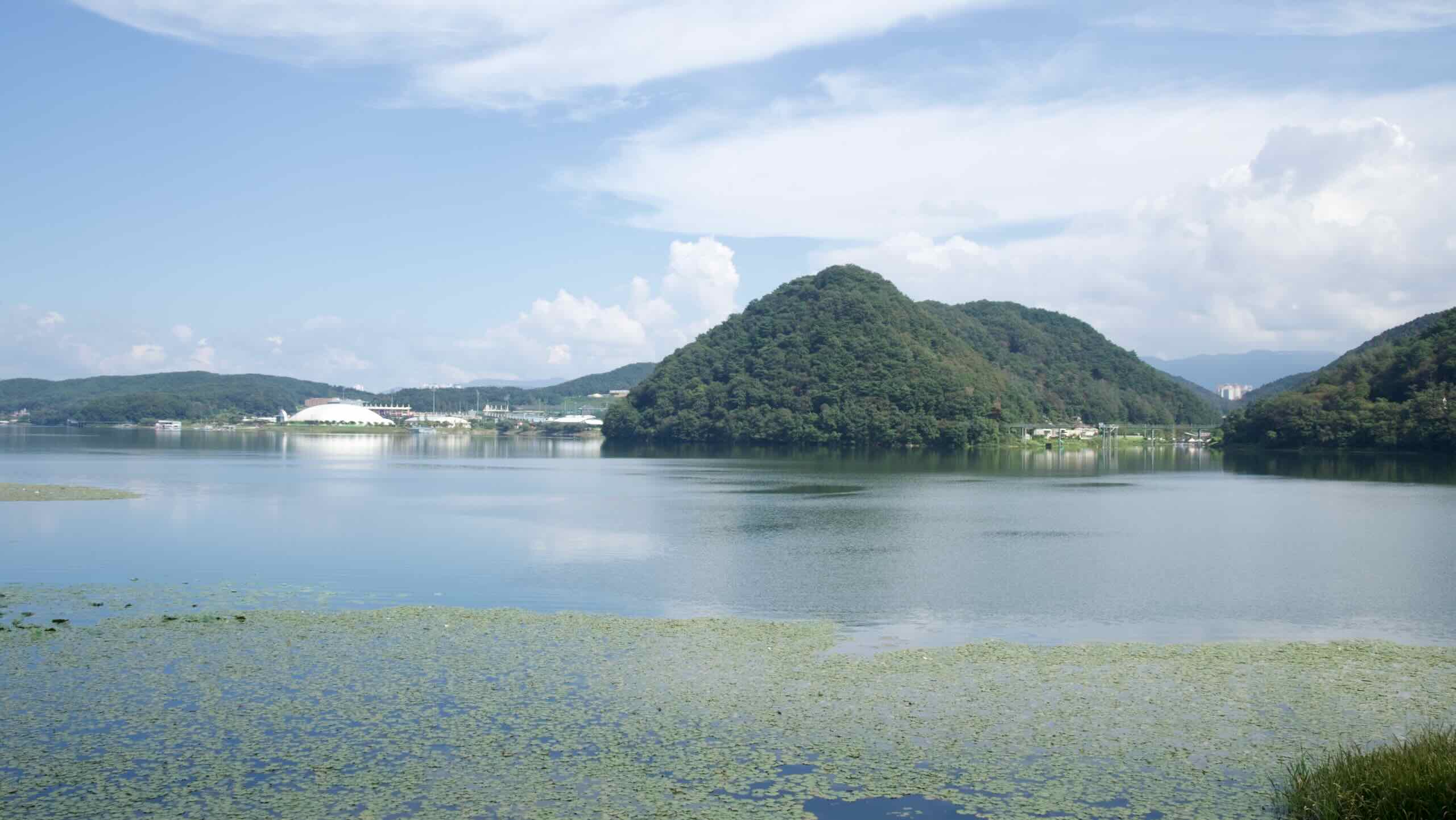
The North Han River’s consistent flow rate and ample basin area made it a prime location for dam construction during Korea’s rapid industrial development. These dams formed a series of lakes that now define much of the river’s landscape:
Hwacheon Dam: Built in 1944, it created Paroho Lake, an expansive body of water surrounded by steep mountains.
Soyang River Dam: Completed in 1973, this dam is the largest in South Korea, forming Soyangho Lake, also known as “the Sea of the East.”
Chuncheon Dam: Constructed to regulate water levels and support hydropower generation, it formed Uiamho Lake, a hub for recreational activities.
Other notable reservoirs, like Cheongpyeong Lake, contribute to flood control, water storage, and energy production. However, these projects have also altered natural ecosystems, sparking debates on sustainability and conservation.
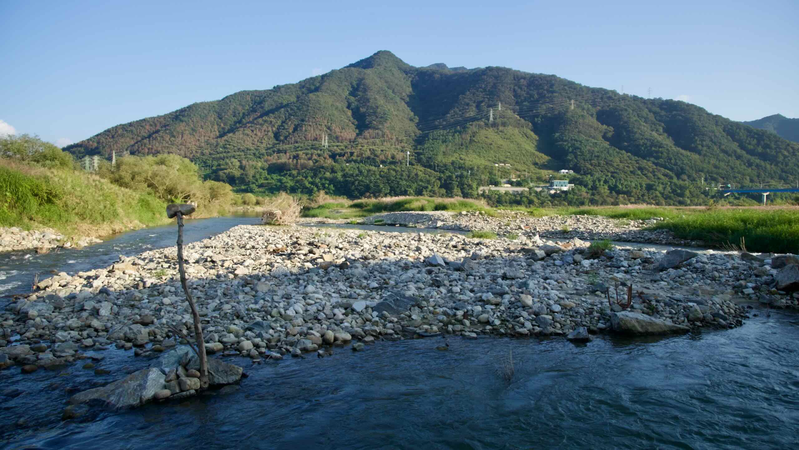
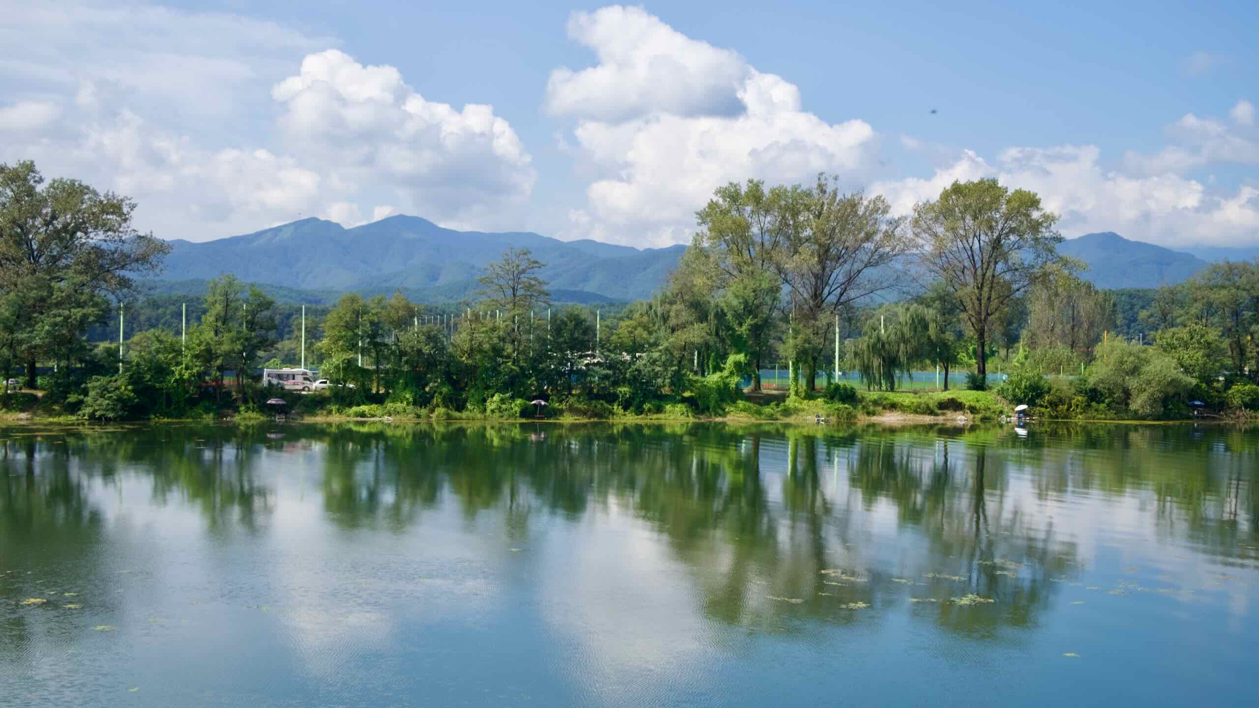
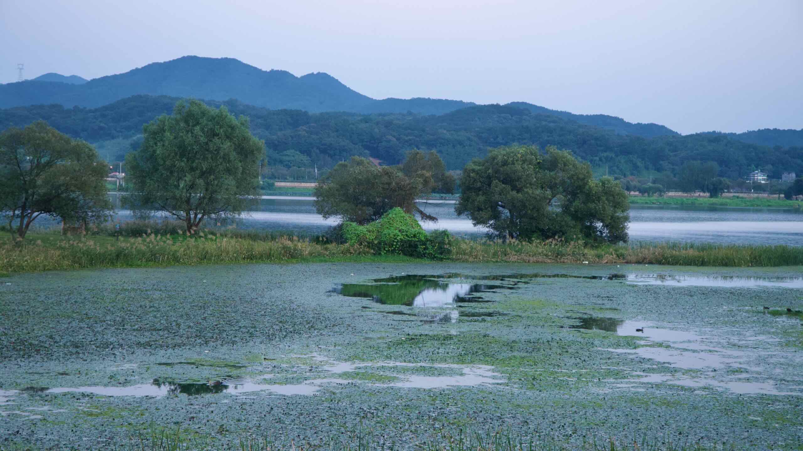
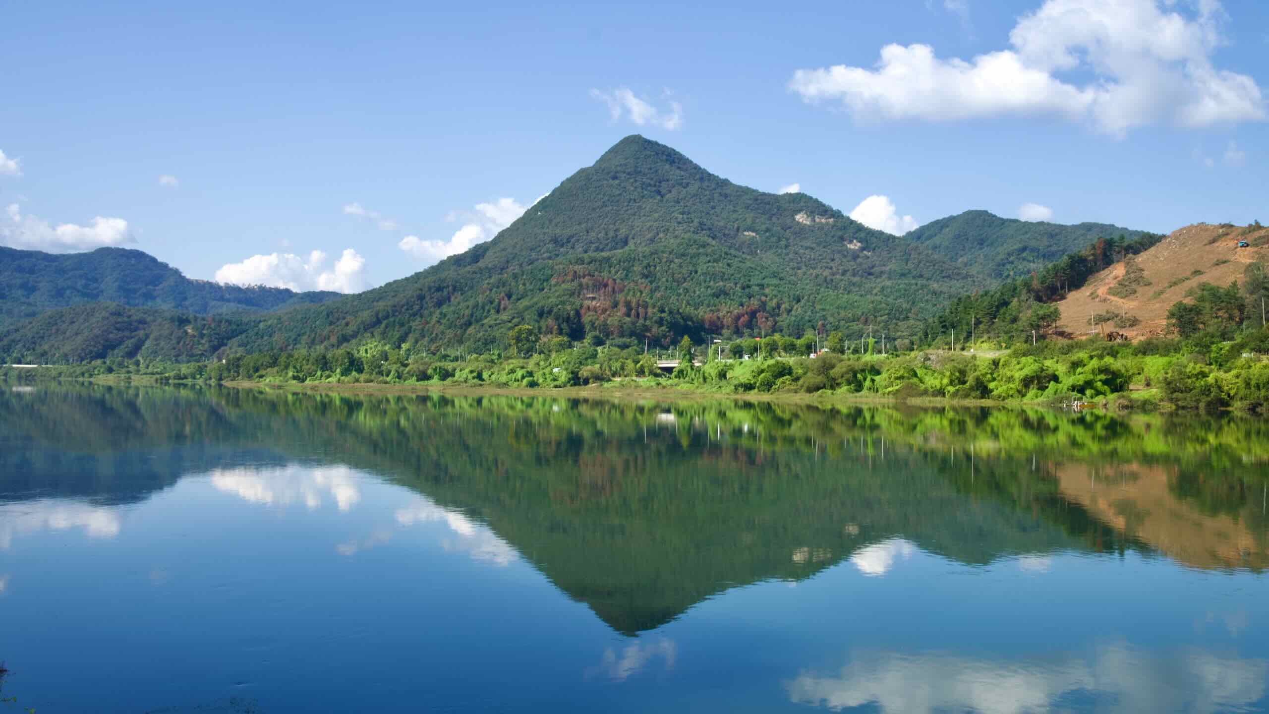
The North Han River supports a diverse range of flora and fauna, providing habitats for freshwater fish, migratory birds, and aquatic plants. Wetlands along the river serve as critical stopovers for migratory species, including cranes and ducks, particularly in regions like Chuncheon and Gapyeong.
Geologically, the river’s course is shaped by faults and sedimentary dynamics. The Gyeonggang Fault system runs alongside portions of the North Han River, influencing its meandering path and creating dramatic landscapes of cliffs and valleys. Seasonal rains and upstream activity, including dam releases, affect sediment flow, altering riverbanks and impacting aquatic ecosystems downstream.
History
The North Han River has long been a cradle of human activity. Archaeological evidence points to early settlements along its banks, where people utilized its waters for fishing, irrigation, and transportation. Fertile floodplains allowed for the growth of agriculture, fostering small communities that thrived on rice cultivation and trade.
During Korea’s Three Kingdoms Period (57 BCE ~ 668 CE), the North Han River played a critical role in shaping regional power dynamics. The river served as a natural boundary and transportation route, providing strategic advantages for each of the kingdoms of Goguryeo, Baekje, and Silla. Goguryeo controlled parts of the upper river to secure access to its northern territories, while Silla and Baekje vied for control of the lower regions closer to the confluence with the South Han River. Battles over riverine dominance shaped the political landscape of the peninsula, making the North Han River a pivotal geographic feature.
The construction of major dams along the North Han River, such as the Hwacheon, Soyang River, and Chuncheon Dams, transformed the region in the 20th century. These projects provided hydroelectric power, flood control, and water storage, contributing to Korea’s rapid industrialization. However, they also displaced local communities and submerged vast tracts of arable land. Ecosystems were disrupted, with migratory fish populations declining due to blocked pathways and sedimentation altering aquatic habitats.
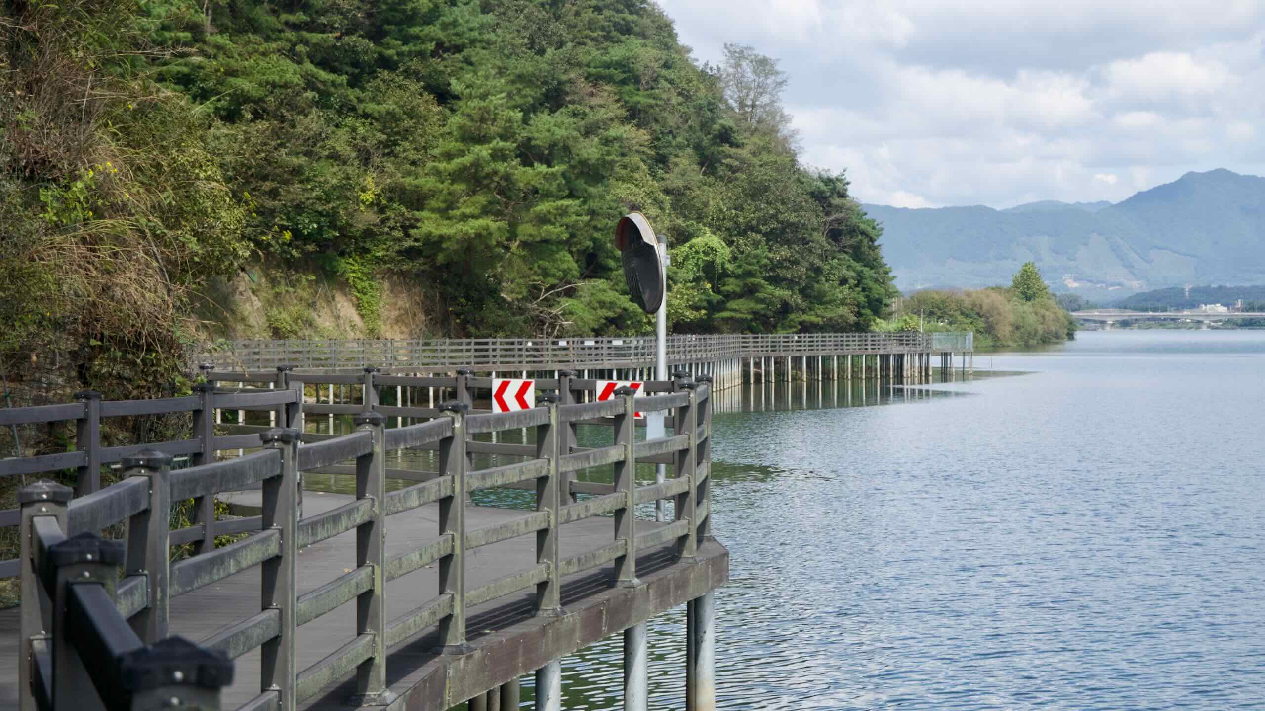
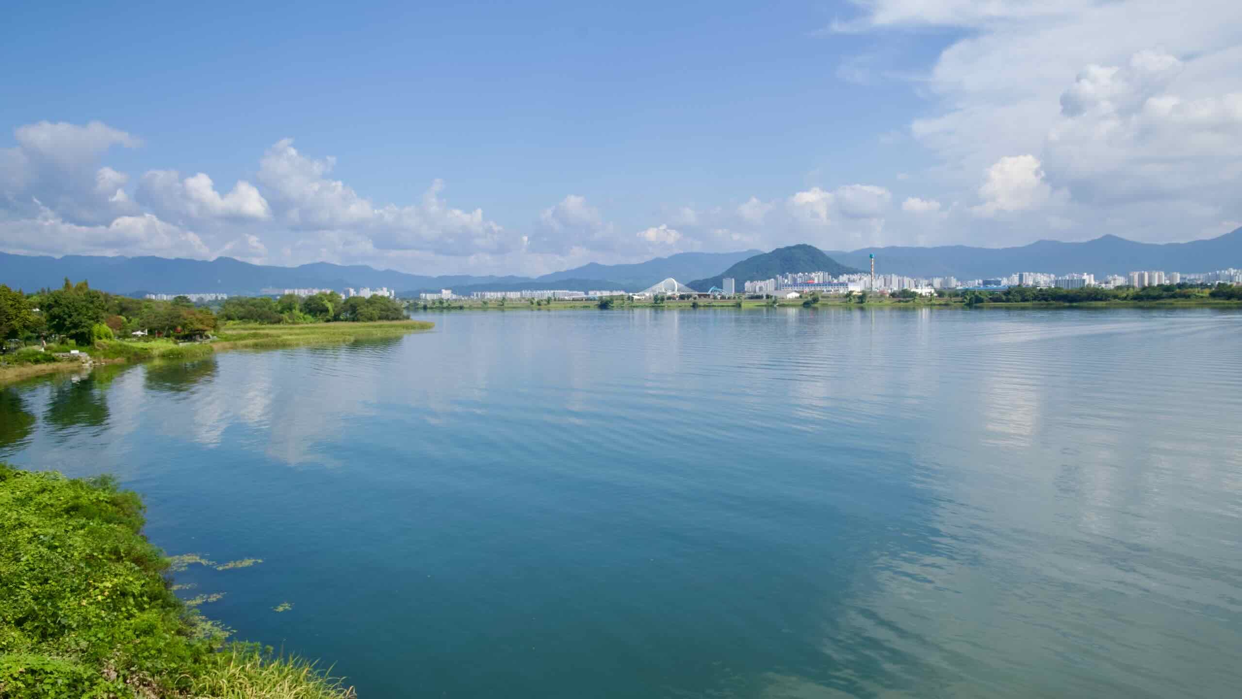
Between 2009 and 2012, the Four Rivers Project introduced further changes to the North Han River. As part of a nationwide initiative to improve water management and promote tourism, the river’s banks were reinforced, its tributaries dredged, and bike paths constructed. While the project enhanced accessibility and flood control, it also intensified ecological concerns. Algal blooms became more frequent in dam reservoirs, and artificial revetments disrupted natural floodplains.
Tourism and Recreation
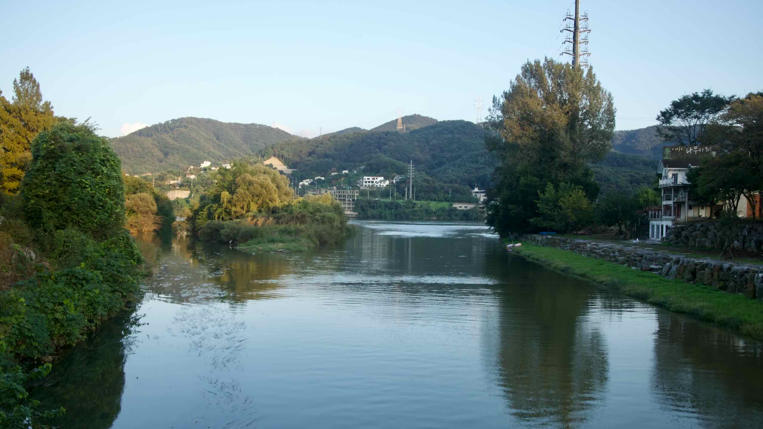
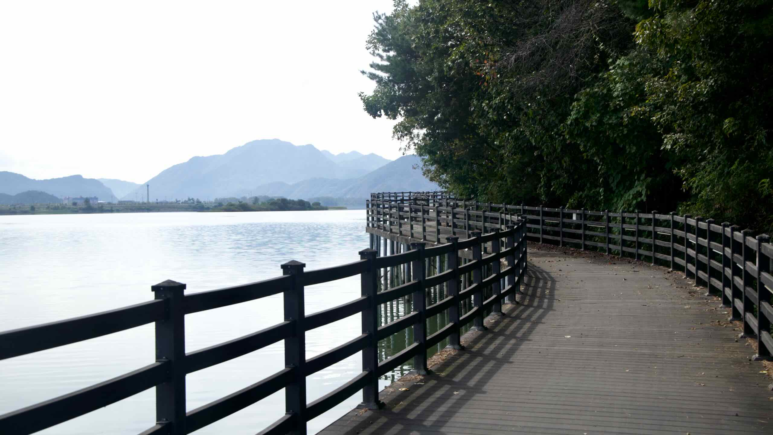
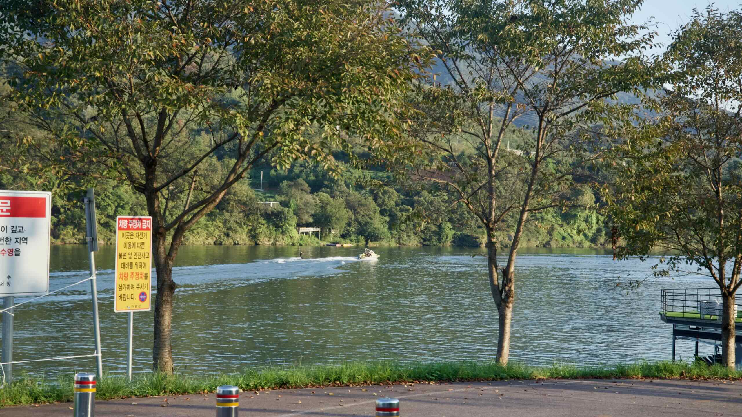
The North Han River offers numerous opportunities for outdoor enthusiasts to enjoy its serene waters. Boating, fishing, and kayaking are popular activities along the river.
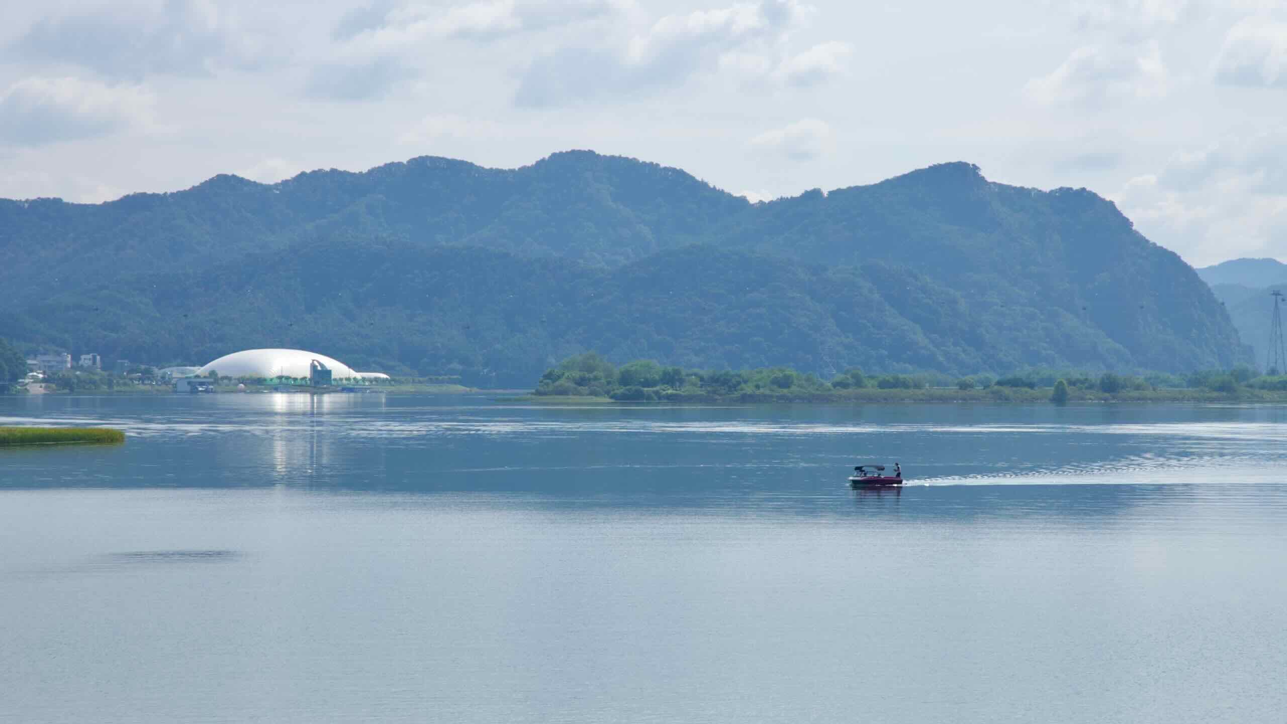
Boating: Uiam Lake, formed by the Chuncheon Dam, is a favorite spot for leisurely boat rides. Visitors can rent small motor boats or pedal boats and explore the lake’s quiet waters surrounded by forested hills.
Fishing: The river is known for its thriving populations of freshwater species, including carp and trout. Anglers often flock to quieter stretches near Hwacheon and Gapyeong, where the tranquil environment enhances the experience.
Kayaking: Kayaking has gained popularity along sections of the river near Chuncheon and Gapyeong. Calm currents and scenic views make it an ideal destination for beginners and experienced paddlers. Rental shops and guided tours are available, making it accessible for visitors.
Let’s look at a few highlights along the North Han River.
Namiseom Island
Nami Island (남이섬; map; Namiseom), located in the North Han River near Gapyeong, is one of Korea’s most beloved tourist destinations. Famous for its tree-lined pathways and cultural exhibitions, the island offers a mix of natural beauty and artistic charm.
Visitors can explore themed gardens, enjoy seasonal festivals, and even rent bicycles to tour the island’s iconic Metasequoia Lane. Originally created as a result of the Cheongpyeong Dam’s construction, the island is now an example of how the river’s development has created new recreational spaces.
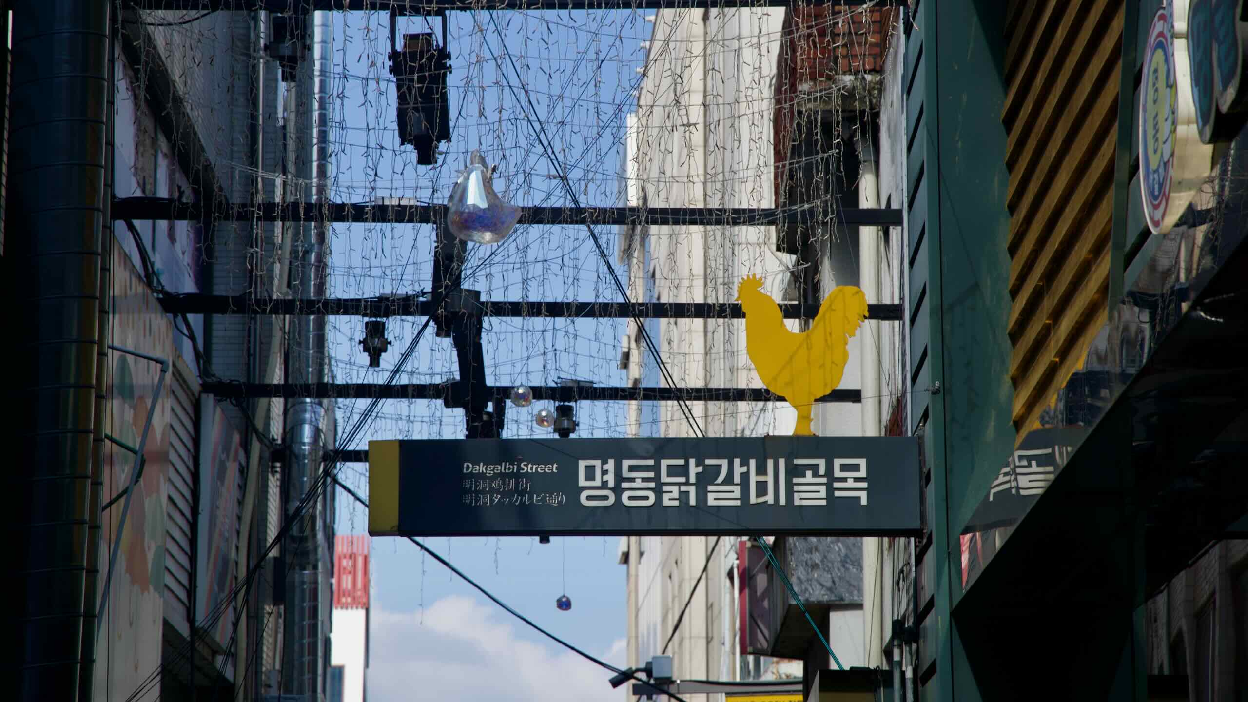
Chuncheon, a city along the North Han River, is renowned as the birthplace of dakgalbi, a spicy stir-fried chicken dish. Chuncheon Dakgalbi Street, located near the river’s edge, is a bustling hub where visitors can sample this local specialty. The street is lined with restaurants offering various takes on the dish, from traditional recipes to creative fusions. After a meal, many visitors enjoy strolling along or renting bicycles to explore the riverside trails.
Environmental Impact
The construction of dams along the North Han River, including the Chuncheon and Soyang River Dams, has significantly altered the river’s natural flow. These dams create stagnant reservoirs where nutrient-rich water promotes the growth of algae blooms. Algae blooms deplete oxygen levels in the water, threatening aquatic life and disrupting the river’s ecosystem. Additionally, erosion along riverbanks has increased due to fluctuating water levels and sediment displacement, further damaging wetlands and habitats.
Dams and weirs have created barriers for migratory fish species, such as trout and carp, that once traveled freely upstream to spawn. Although fish ladders have been installed at some sites, their effectiveness remains limited. Bird species that depend on the river’s floodplains for feeding and nesting, including cranes and herons, have also been affected. The reduction in accessible wetlands has led to a decline in populations of migratory and local birds.
In recent years, advocacy groups and environmentalists have called for the removal or modification of smaller, less effective dams along the North Han River. For example, the Uiam Dam and Cheongpyeong Dam have faced criticism for their limited water storage capacity and marginal impact on water level control. Proposals to remove these dams aim to restore the river’s natural flow and improve ecological health.
Local communities along the North Han River have initiated various efforts to balance development with conservation. Volunteer groups and environmental organizations regularly conduct river clean-ups and advocate for sustainable tourism practices. In Chuncheon and Gapyeong, educational programs raise awareness about the importance of preserving the river’s ecosystem. Additionally, eco-tourism initiatives, such as guided birdwatching tours and environmentally friendly water sports, help promote sustainable interaction with the river.