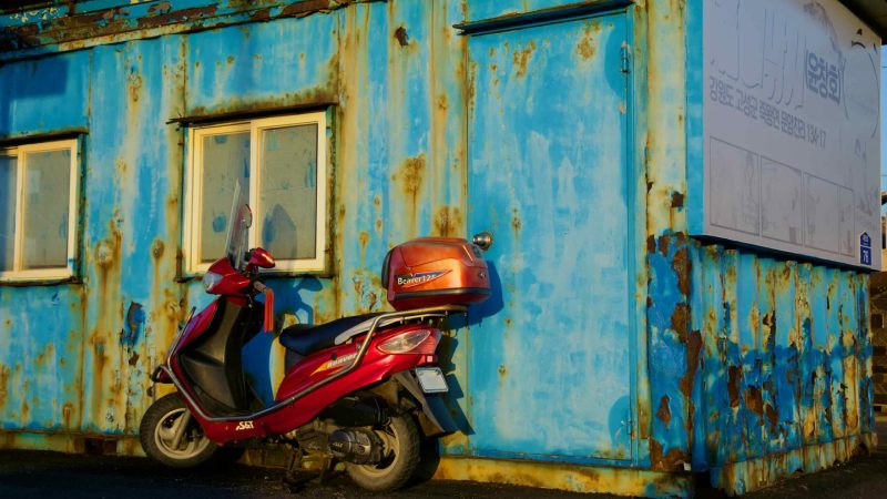
Cycle Korea’s east coast, where cliffs meet beaches and fishing ports lead to resort towns.
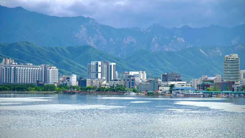
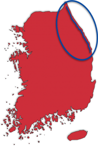
The East Coast Route traces the stunning coastline of Korea’s East Sea (동해; map), offering cyclists an unparalleled journey through the nation’s northeastern landscapes. Spanning 352 kilometers, the route connects the picturesque shores of North Gyeongsang Province with the Demilitarized Zone (DMZ), a poignant border with North Korea.
Divided into two distinct bike paths — the Gyeongbuk Bicycle Path and the Gangwon Bicycle Path — the East Coast Route showcases the diverse beauty of Korea’s eastern shoreline. From the snow crab ports and ancient pavilions of North Gyeongsang to the dramatic coastal cliffs, bustling resort towns, and barbed wire fences of Gangwon State, this route provides a rich tapestry of cultural and natural landmarks.
Continue to the DMZ, passing through resort cities, dramatic coastlines, and tranquil beaches.
Overview
The East Coast Route is divided into two connected bike paths, separated by a cyclist-friendly 4.8-kilometer gap, making it a continuous yet distinct journey along Korea’s eastern shore.
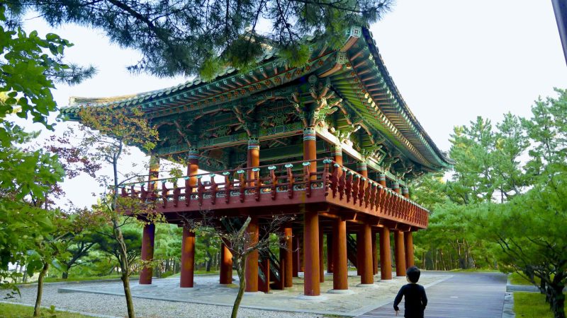
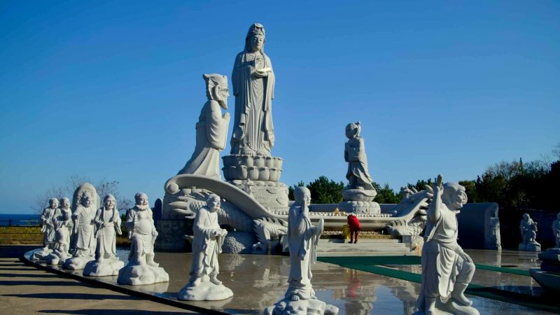
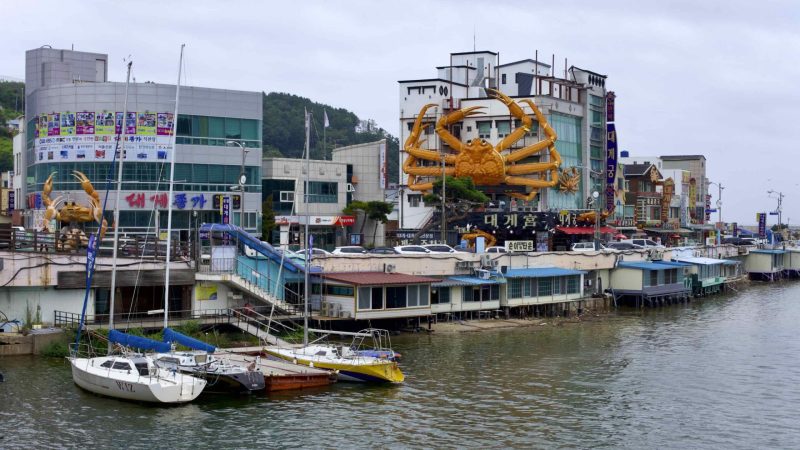
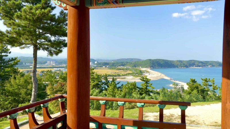
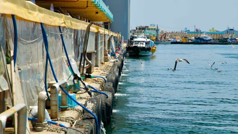
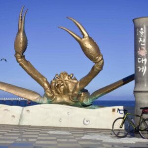
Gyeongbuk Bicycle Path: Covering the southern section, this 122-kilometer route winds through Yeongdeok and Uljin Counties in North Gyeongsang Province. It features a mix of steep hills, ancient pavilions, vibrant ports, and the famed snow crab markets that draw food lovers from across Korea.
Gangwon Bicycle Path: Spanning 242 kilometers, the northern section follows the Gangwon State coastline, leading riders through resort cities, tranquil beaches, and rugged cliffs. The path culminates at the DMZ, where scenic beauty meets Korea’s complex history.
Cyclists can also explore the lower third of Korea’s east coast, a scenic yet unofficial extension of the route. This stretch may lack certification centers but offers just as many highlights, including serene fishing villages and hidden coastal gems. (Read more here.)
Together, these two bike paths create a 364-kilometer adventure that showcases the cultural and natural diversity of Korea’s eastern seaboard. Whether tackling the entire route or exploring a section, the East Coast Route promises a memorable cycling experience.
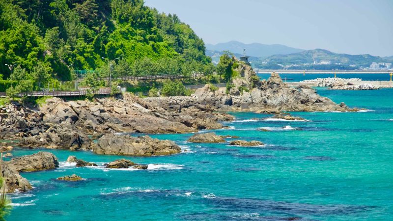
The Gyeongbuk Bicycle Path forms the southern section of Korea’s East Coast Route, weaving through the neighboring counties of Yeongdeok and Uljin along the lower third of the coastline.
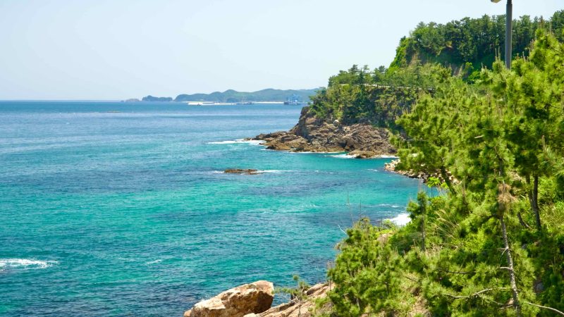
Stretching 122 kilometers, this path is shorter than the northern Gangwon Bike Path but more challenging, with steep, spiky hills punctuating the route between quiet fishing ports and seaside villages.
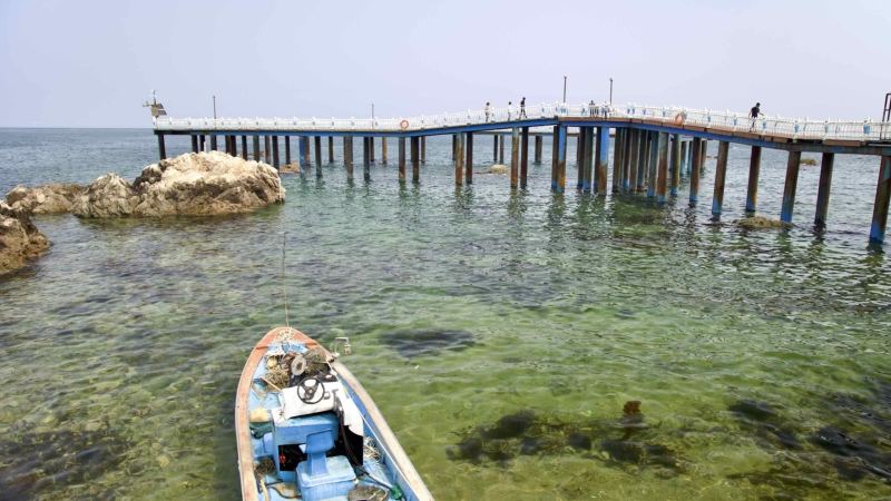
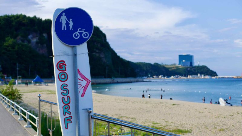
The path officially begins at Yeongdeok County’s southern border, though many riders start in Ganggu Port and head north to Sunrise Park, home to the first certification center.
The path ends at Uljin County’s northern border, offering two options: catch a bus out of town or cycle a short 4.8-kilometer gap to connect with the Gangwon Bike Path and continue your journey along the East Coast Route.
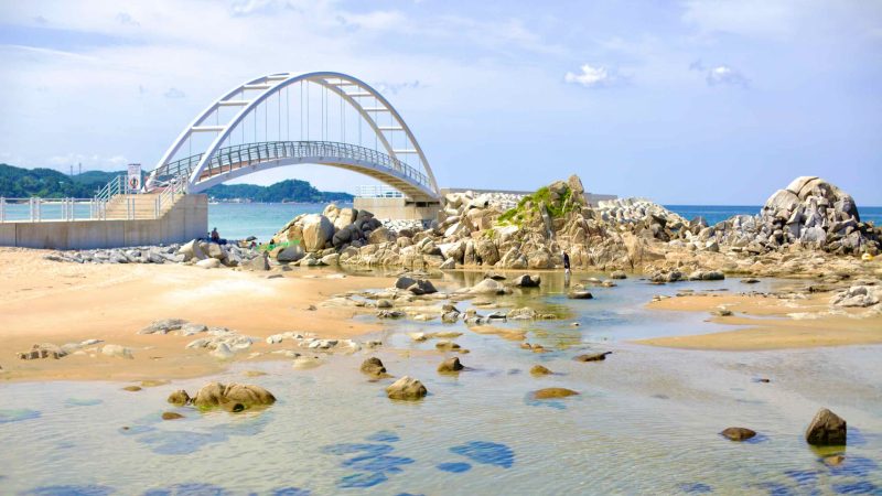
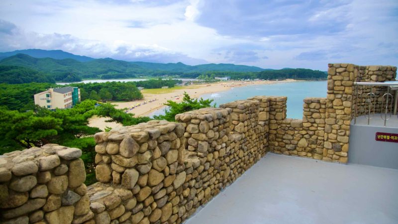
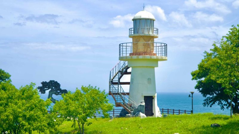
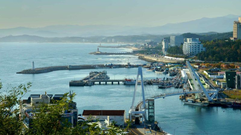
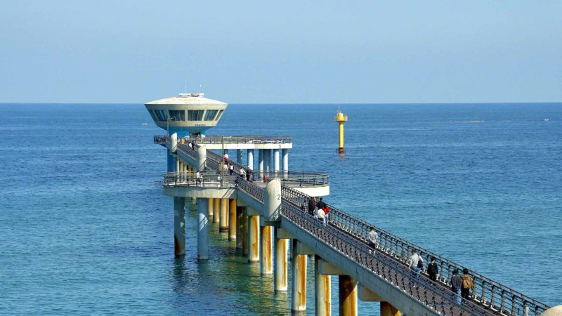
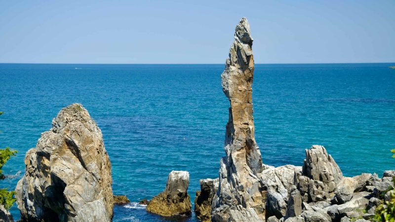
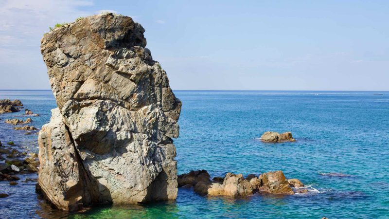
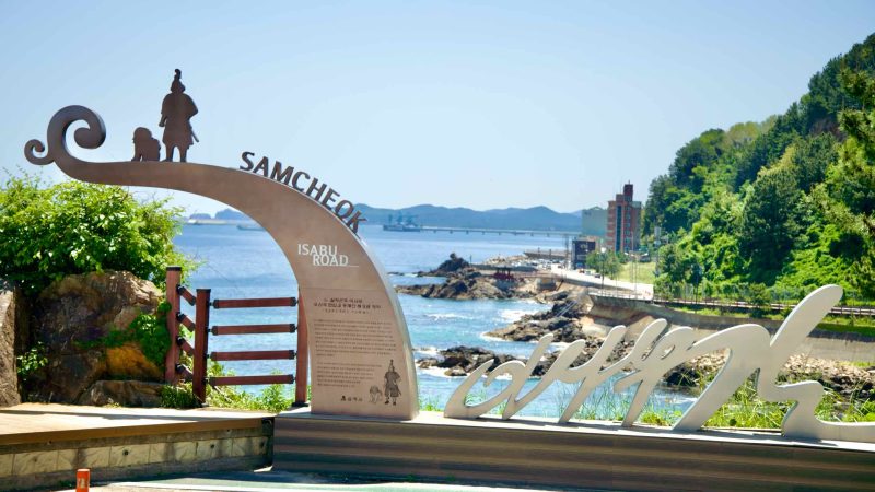
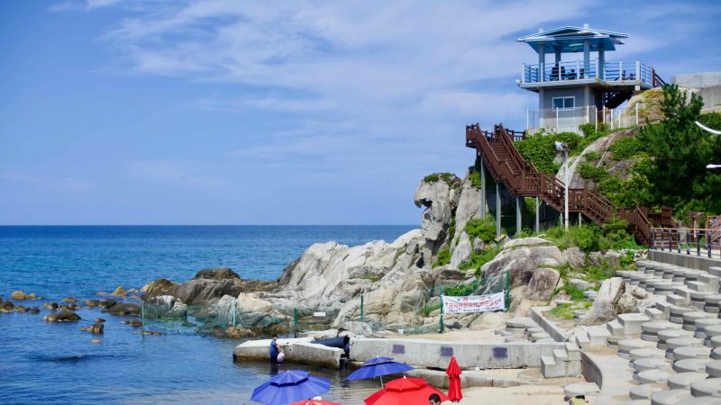
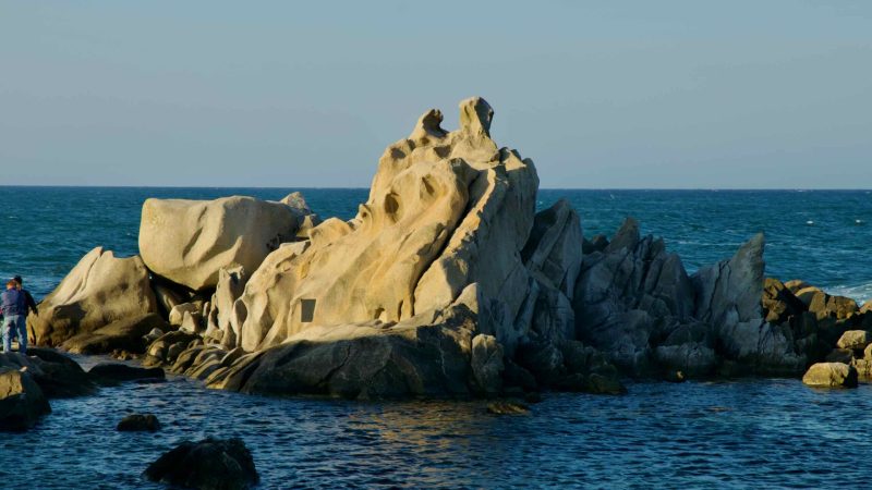
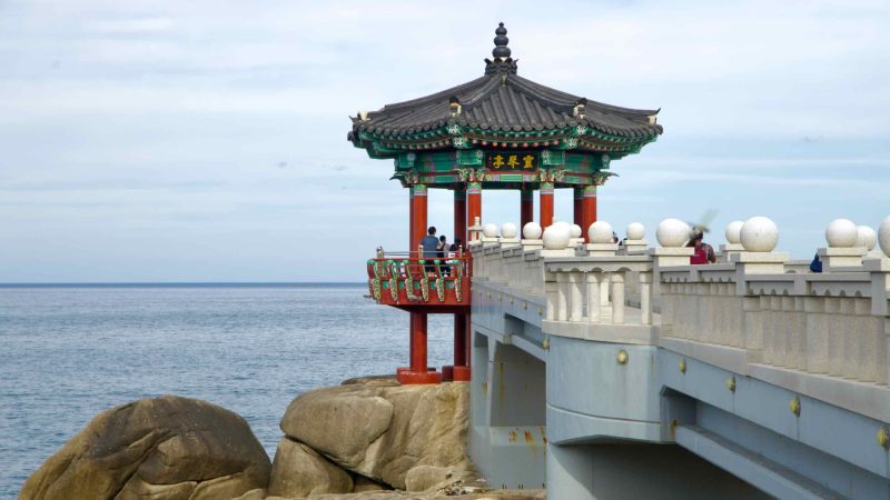
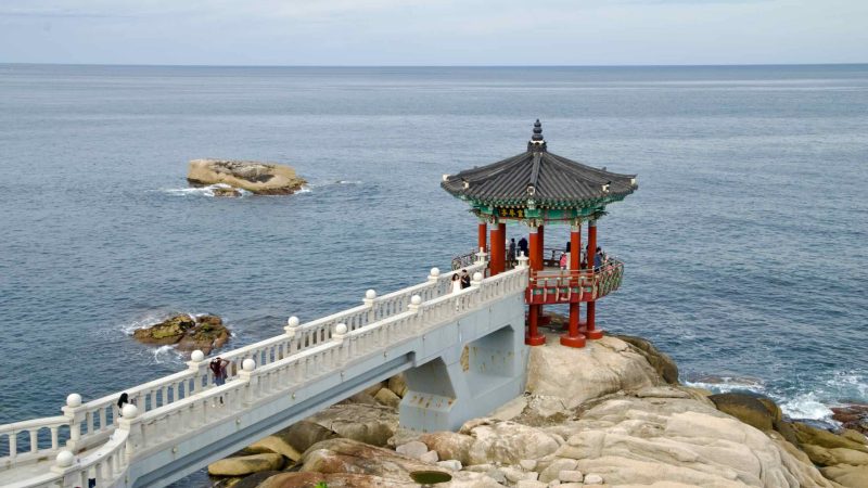
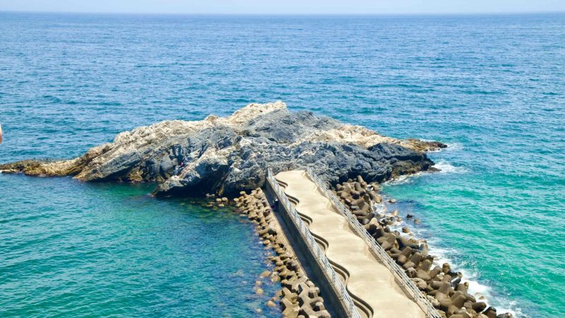
The path begins at Gopo Port (고포항; map) in Samcheok City, weaving northward through steep coastal hills and along the scenic “romantic” coastal road. Early highlights include a rail bike, cable car, and the iconic Candlestick Rock.
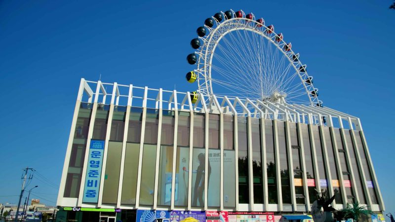
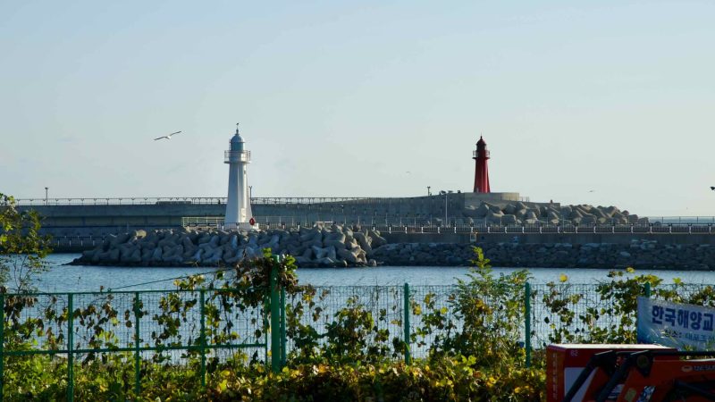
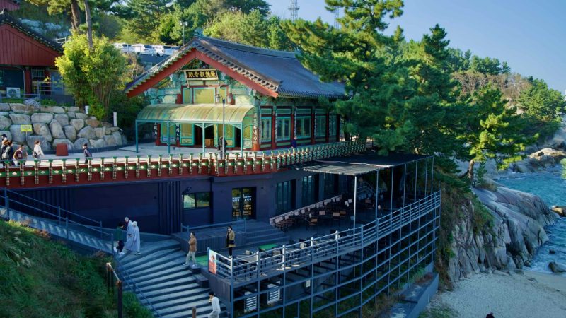
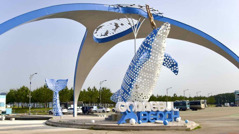
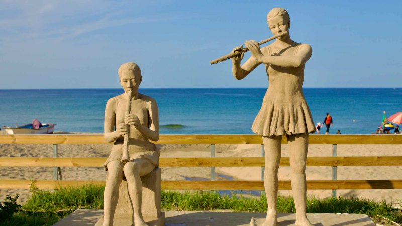
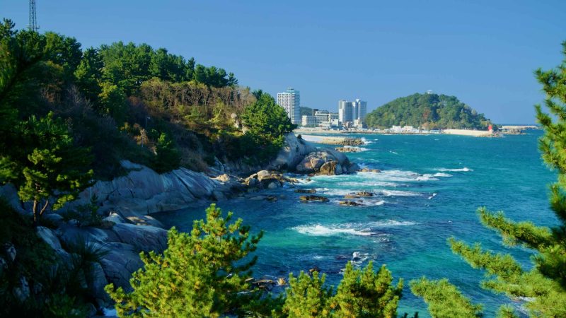
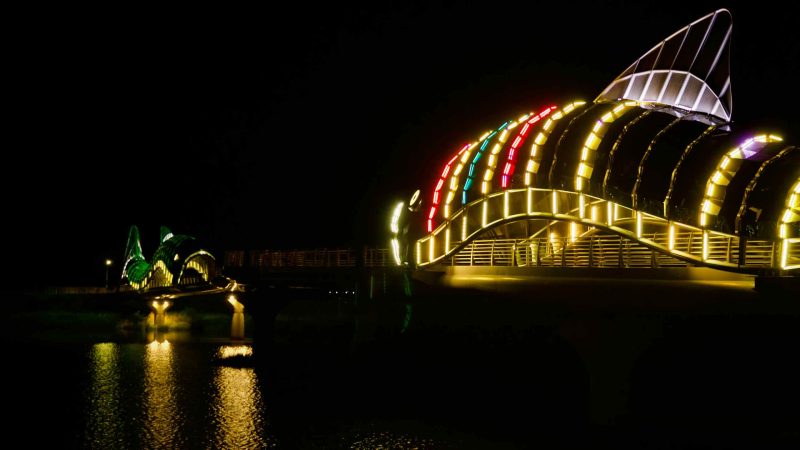
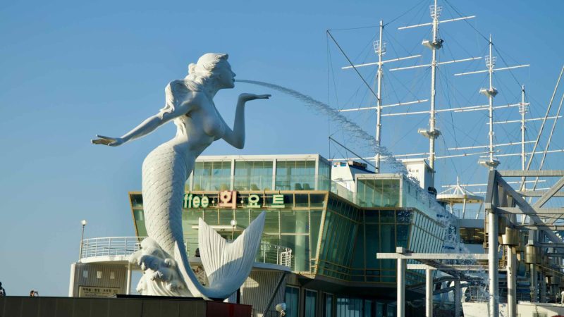
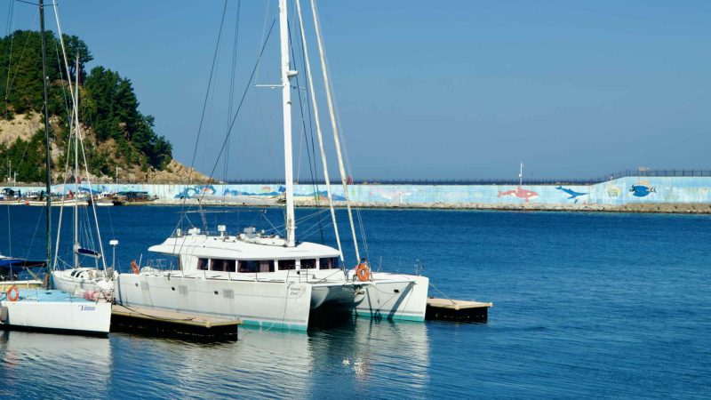
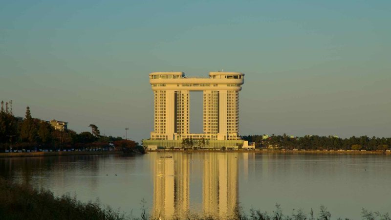
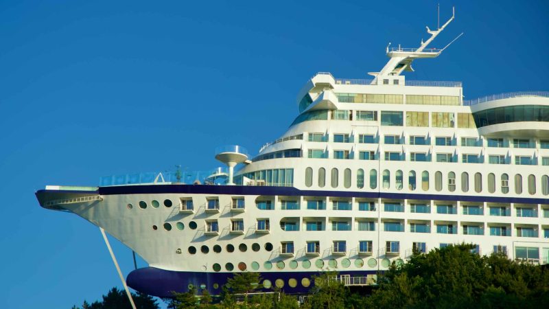
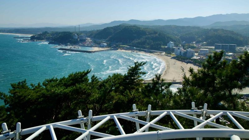
Continuing north, the route passes through the resort cities of Donghae, Gangneung, and Sokcho, where bustling beaches and modern hotels attract urban vacationers during summer.
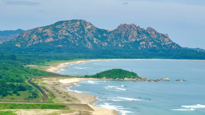
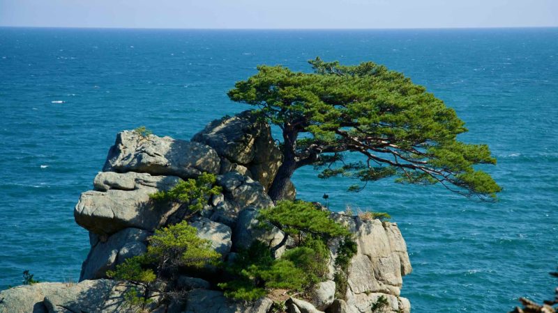
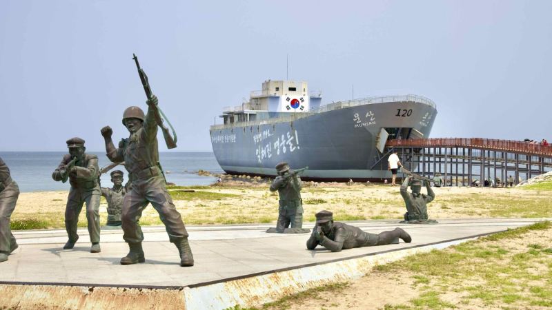
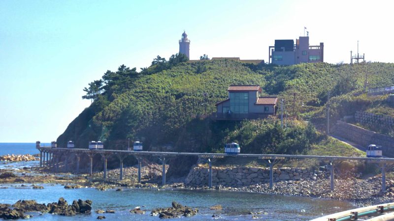
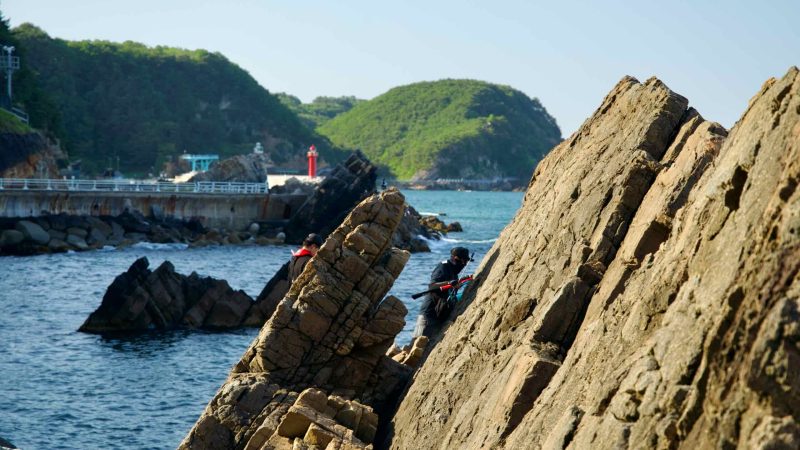
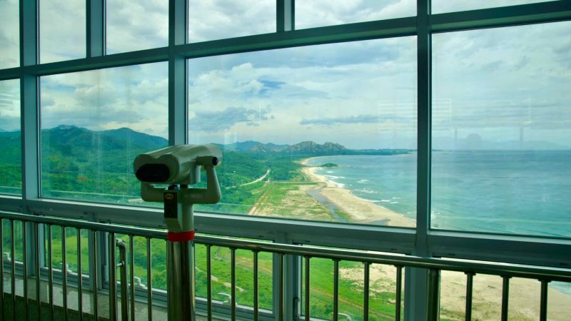
As the route enters Goseong County (map), near the border with North Korea, the scenery transforms. Military outposts dot the landscape, traffic fades, and the East Sea reveals rocky islands and endless horizons.
(Note: To visit the Unification Observation Tower, cyclists must use a taxi or join a tour bus, as military restrictions prevent bikes and cars from accessing the tower’s road.)
The East Coast Route offers a diverse mix of cycling terrains, blending coastal roads, sidewalks, and protected bike lanes:
30% dedicated bike paths
50% coastal roads
10% farm roads
10% sidewalks with bike paths
The southern Gyeongbuk Bicycle Path in Yeongdeok and Uljin Counties primarily follows coastal roads, with few protected lanes or sidewalks. Fortunately, a nearby expressway diverts fast-moving traffic, leaving these roads relatively calm and frequented by sightseeing vehicles.
In contrast, the northern Gangwon Bicycle Path near resort cities like Sokcho and Gangneung features a mix of sidewalks and dedicated bike paths, providing safer separation from vehicle traffic. However, where coastal roads hug steep hills and mountains, the cycling route often merges back onto standard roads.
This mix of road types ensures a scenic and varied cycling experience while adapting to the terrain and geography of Korea’s East Coast.
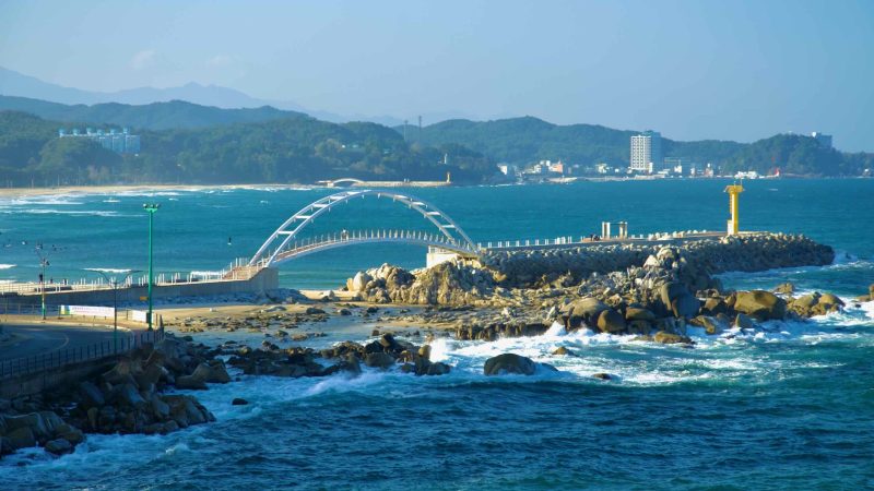
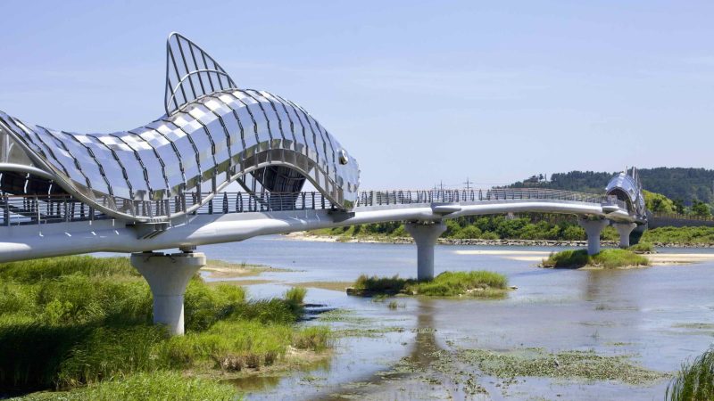
Route 7 travels along Korea's east coast in Sokcho City on the Gangwon Bike Path.
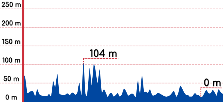
Spanning 343 kilometers (213 miles), the East Coast Route is half the length of the Cross-Country Route but compensates with steep hills that challenge even seasoned cyclists.
For active riders, the route’s beaches and hills can be conquered in three to four days. However, during peak summer months (July and August), heavy car and foot traffic near tourist hotspots may slow your progress.
Prefer a more leisurely pace? Allow five to six days to complete the route. This extra time lets you soak in the highlights, enjoy a swim, or relax on the beach while giving your legs a well-deserved rest.
Looking to reach Korea’s east coast with your bike? Aside from a personal car, intercity buses are the most reliable transportation option for cyclists.
Unlike other certification bike paths, the Gyeongbuk Bike Path does not start or end with certification centers (stamp booths). Instead, the borders of Yeongdeok County and Uljin County define its southern and northern termini.
Southern Terminus: The path begins near Yeongdeok County’s southern border, served by three small bus terminals. To reach these stops, you may need to transfer from a larger city like Pohang.
Northern Terminus: The route ends near Uljin County’s northern border, with the tiny Bugu Bus Terminal and the more distant Uljin Terminal as key intercity bus points.
The Gangwon Bike Path offers slightly better intercity bus access than its southern counterpart, but its endpoints are still remote.
Northern Endpoint: Near the DMZ, the Daejin Bus Terminal provides daily service to and from Dong (East) Seoul Bus Terminal, Korea’s busiest intercity terminal.
Southern Endpoint: Three small intercity bus stops serve the area near the path’s southern start, offering limited but sufficient connections.