The East Sea
The East Sea (Donghae; 동해; map), also known as the Sea of Japan, forms South Korea’s eastern boundary.
The sea is a microcosm of a greater ocean. Penned in by the Korean peninsula, Russia, and the Japanese archipelago, its geography features self-contained currents, deep basins, and thriving marine life.
Let’s inspect.


- Average depth: 1,530 meters (5,020 ft) (9th in the world)
- Deepest point: 3,742 meters (12,277 ft) (10th in the world)
- Size: 1.05 million km2 (25th in the world)


History
The East Sea formed 50 million years ago when a massive bit of land broke away from the Asian continent. The banana-shaped chunk moved eastward, forming the Japanese archipelago and wiggling loose the Korean peninsula from the mainland.
For the first couple million years as the rogue landmass expanded, the East Sea was the “East Lake.” Fresh water and alligators filled the space between Asia and the Japanese archipelago.
But soon, as Japan’s island broke apart, straits opened in the northeast, southwest, and east. Salt water from the Sea of Okhotsk, East China Sea, and Pacific Ocean trickled in and transformed the “East Lake” into the “East Sea.”
Geography
Deep basins and narrow straits are the East Sea’s most defining feature today.

Slim Straits
Land surrounds the East Sea. Russia and Korea in the west. Japan in the east.
Water flowing in and out of the sea comes from a handful of narrow straits that average a 100 meters deep, a fraction of the East Sea’s average depth.
- In the north, the La Perouse Strait and Tatar Strait, near Russia’s Sakhalin Island, lead to the Sea of Okhotsk.
- In the west, the Tsugaru Strait between Japan’s Honshu and Hokkaido islands opens to the Pacific Ocean.
- In the south, the Tsushima Strait and Korea Strait between the Korean peninsula and Japan’s Kyushu Island touch the East China Sea.
Most of the East Sea’s input flows up from the South China Sea via the Tsushima and Korea Straits. In the north, the sea water flows through the La Perouse Strait and Tsugaru Strait.
These straits also restrict marine migration. Go scuba diving and find plentiful flora and fauna unique only to the East Sea.
Big Basins
Three deep basins divide the bottom of the East Sea:
- In the north, the Japan Basin between Siberia and Japan is the largest and deepest.
- In the southeast, the Yamato Basin rests along Honshu, Japan’s largest island.
- In the southwest, the Tsushima Basin (Ulleung Basin; 울릉분지), nestled against the Korean peninsula, is the smallest and shallowest.
Between the basins, underwater ridges, volcanoes, and several continental shelves cover about a fifth (280,000 km2) of the sea floor.
- In the east, a narrow continental shelf extends from Siberia and the Korean Peninsula. Forty to seventy kilometers off the coast, the shelf drops away and the bottom sinks.
- A wider continental shelf with ridges and shallow depths blanket Japan’s west coast.
- In the north, three continental shelves descend like steps into the Japan Basin.

Ocean in a Bottle
The East Sea’s basins and straits limit interference from the Pacific Ocean, East China Sea, and Okhotsk Seas. This gives the East Sea characteristics of a biosphere, whose behaviors mimic those of larger oceans.
- Like deeper oceans, the East Sea contains three distinct water layers or thermoclines:
- A salty surface layer warmed by the sun.
- A middle layer that dribbles in from the Korea Strait.
- A deep layer formed by cooling, sinking water in the East Sea’s north.
- The East Sea’s currents cycle water from its depths to the surface over the course of 100 years. Compared to an oceanic “conveyor belt,” which takes 1000~2000 years, that’s fast.
- The East Sea includes both a subtropical zone in the south, near the Korean peninsula, and a subarctic zone in the north, near Russia’s Sakhalin Island.
The East Sea’s small-scale, accelerated timelines allow scientists to study slight changes in its behavior because of global warming. This helps researchers better predict how climate change might affect larger oceans and global currents.
East Sea vs. West Sea

It’s difficult to describe the East Sea just with numbers. So let’s do a comparison. The East Sea versus the West Sea (Yellow Sea; 서해; map). Not only do they sit on opposite sides of the Korean peninsula, they’re opposite seas.
- Average depth:
- East Sea: 1,530 meters (5,020 ft)
- West Sea: 44 meters (144 ft)
- Deepest point:
- East Sea: 3,742 meters (12,277 ft)
- West Sea: 152 meters (499 ft)
- Size:
- East Sea: 1.05 million km2 (25th in the world)
- West Sea: 380,000 km2 (51st in the world)
- Appearance:
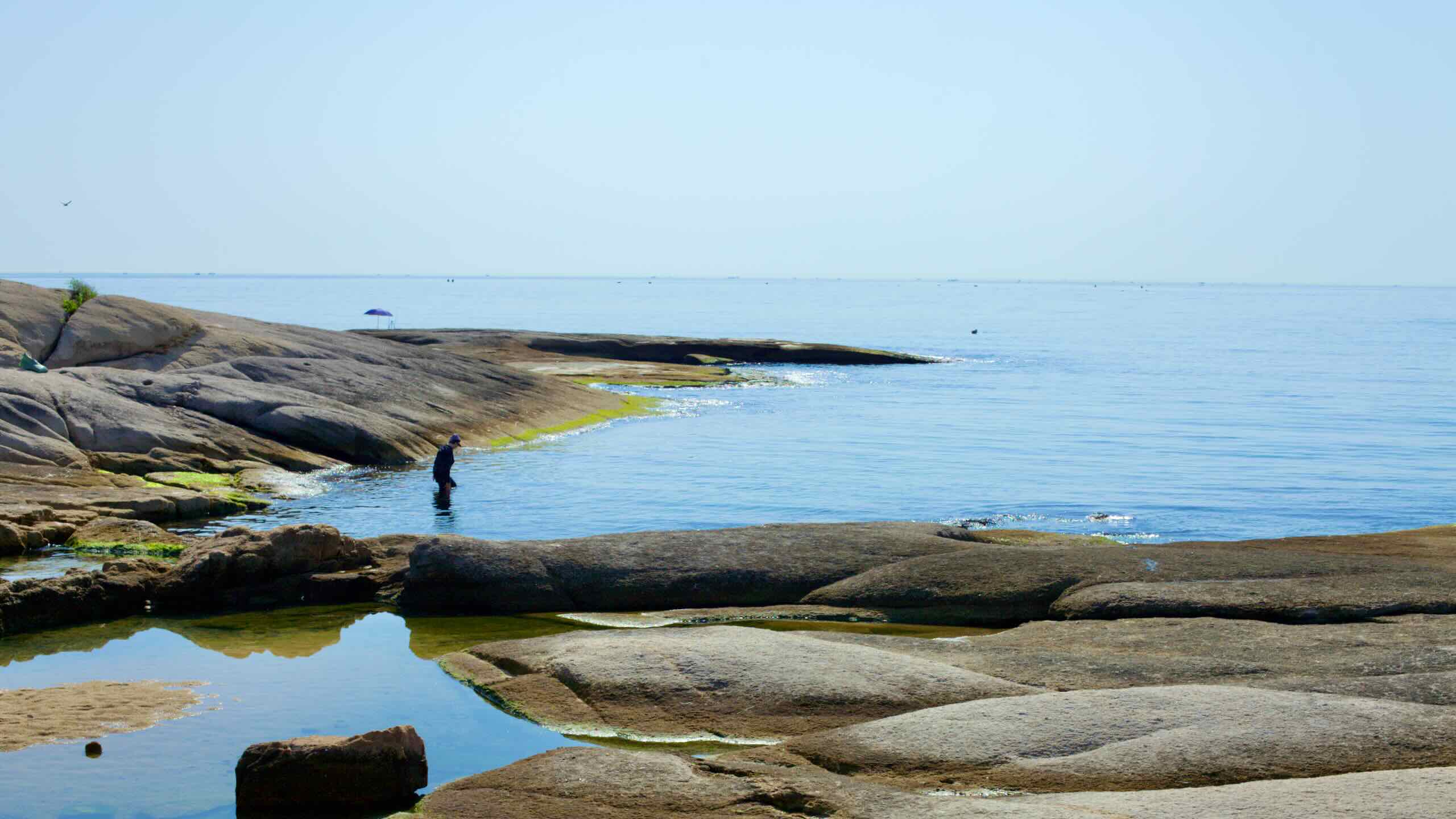
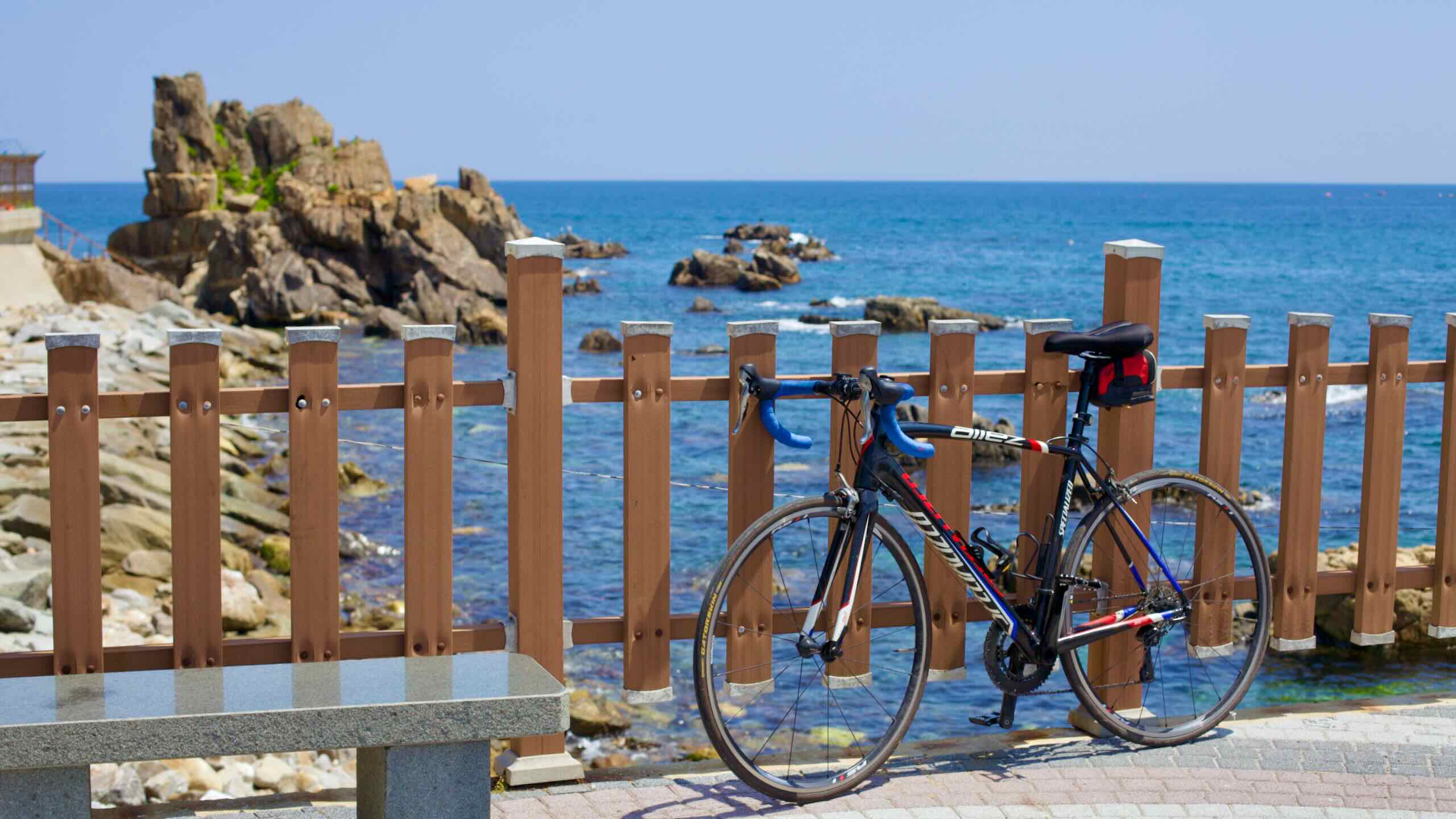
- Deep waters and circulating currents keep the East Sea clear and blue.
- Winds that blow over China’s Gobi Desert pick up and deposit yellow sand on the West Sea’s waves. Hence: “Yellow Sea.”
- Topography:
- The East Sea features many continental shelves and deep basins.
- The West Sea is shallow and flat. When its tide recedes, the coastal regions become the world’s largest mudflats. Migratory birds stop along them to feed on critters trapped in the exposed sea’s underbelly.
- Temperature:
- The East Sea’s three distinct water layers create wider variations in temperature: 5~20°C (41~68°F).
- The West Sea’s shallow waters warm easier and create a more stable temperature 12~18°C (54~64°F).
Climate

Warm Korea Strait waters and a monsoonal flow from the Pacific and Indian Oceans suck up East Sea waters. Then dry arctic winds pop the moisture balloon, dumping blankets of snow over Korea’s Ulleung Island and Japan’s Hokkaido Island in the winter.
In summer, this weather pattern supercharges typhoons, shoving oversized waves and dropping plum-sized rain onto Japan’s west coast.
Winter in the East Sea’s north brings cold. Between January and February, the waters around the Tartary Strait and Siberia freeze solid until spring.
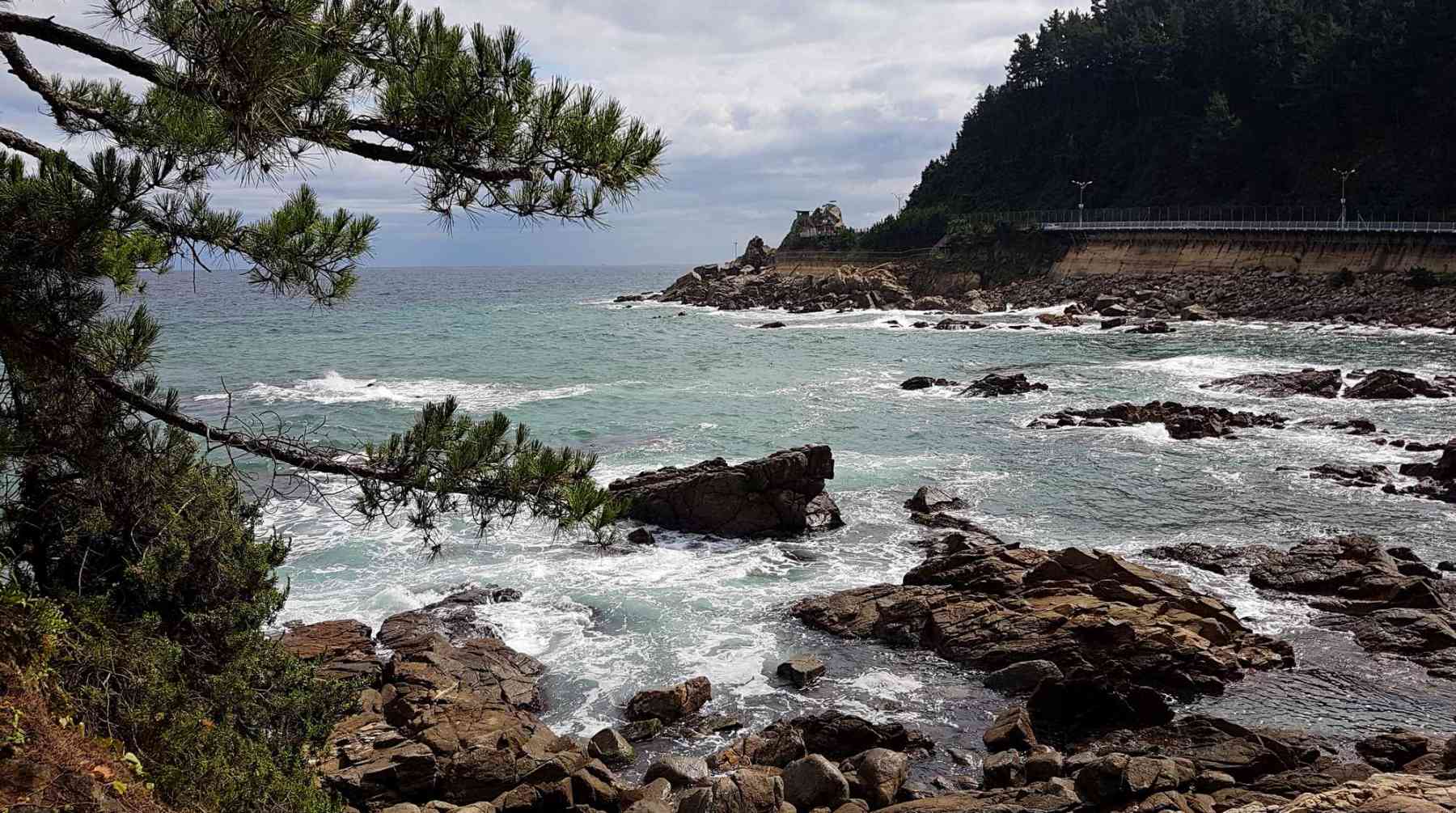
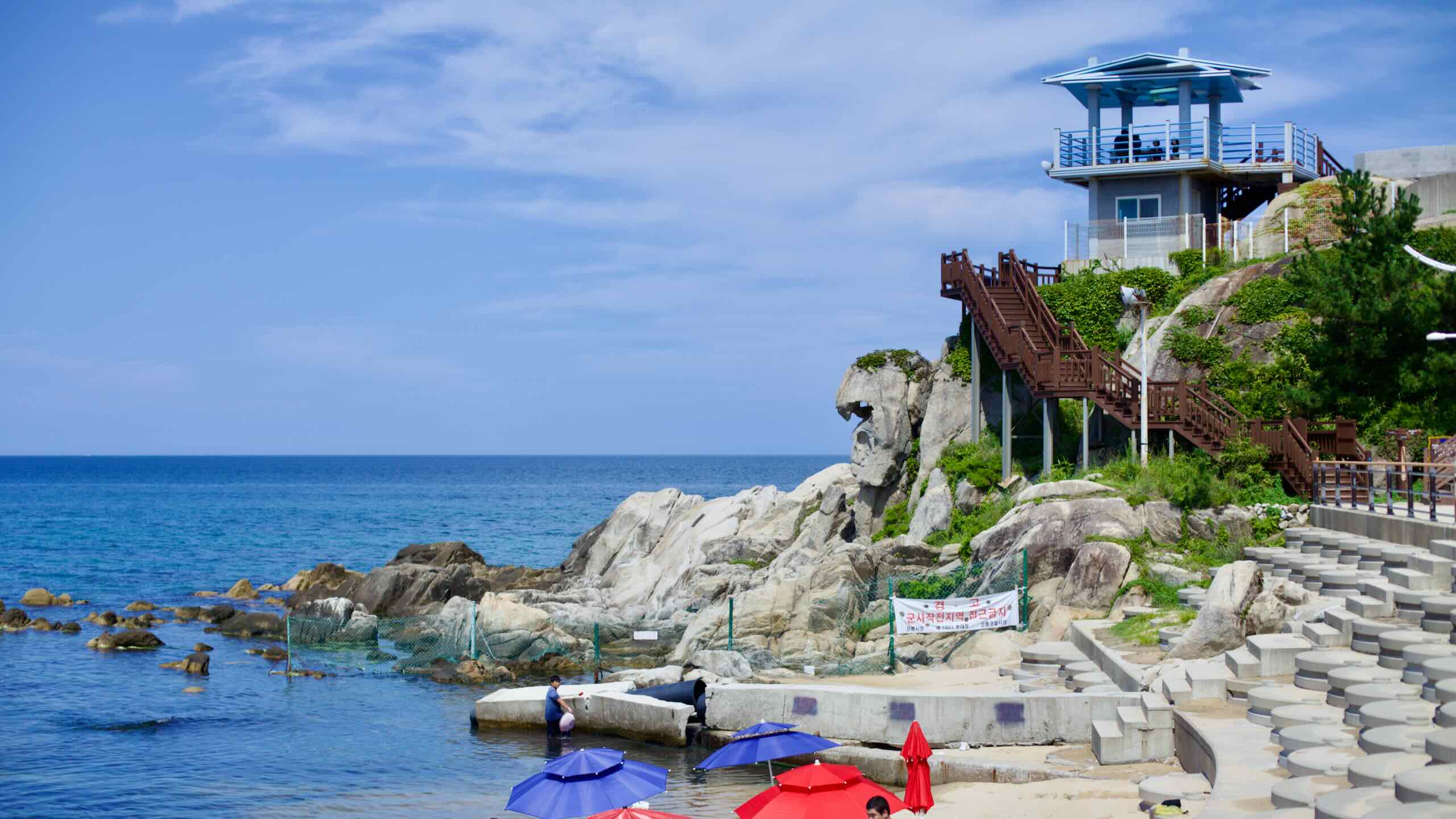
Korean Coastline
Like the East and West Seas, Korea’s east and west coasts are mirror opposites:
- The eastern coastline is straight. It boasts a handful of islands and almost no tidal regions.
- The west coast is jagged, with expansive mudflats with countless islands.

Because of the straight coastline, most of Korea’s East Sea ports use breakwaters to disperse ceaseless sea waves. Only a few bays — East Korea Bay (동한만; map) in North Korea, Yeongilman (영일만; map) in Pohang — offer natural protection.
To generalize, Korea slopes from the eastern Taebaek Mountains down to the western Honam Plains. Except for Ulsan’s Taehwa, few Korean rivers flow to the East Sea. Overall, only 1% of the East Sea’s waters derive from rivers.
Korea’s two most prominent East Sea islands sit far offshore:
- Ulleungdo Island (울릉도; map) is a volcanic, 73-square-kilometer island that lies 120 kilometers off Korea’s east coast. From mainland ports in Donghae, Pohang, and Gangneung, tourists take ferries to Ulleungdo to hike the island’s mountainous trails and dine at its famed squid restaurants.
- Dokdo Island (Liancourt Rocks; 독도; map) are two islets and a smattering of rocks 217 kilometers off Korea’s east coast. Covering 187,500 square meters, the island’s main inhabitants are sea lions, fish, and the Korean coast guard. Korea officially governs Dokdo, but Japan also lays claim. Ferries from Ulleungdo often sail tourists by the islets.
Economy
The East Sea provides livelihoods for thousands of fishers, factory workers, and entrepreneurs in Japan, Russia, and Korea. Let’s explore the sea’s major industries.
Fishing

Churning East Sea currents, which exchange water from deep, middle and surface layers, create an oxygen rich environment.
Who loves oxygen? Living things.
The East Sea holds an abundance of life:
- 800~900 different aquatic plants.
- 3,500 species of animals:
- 950 types of crustaceans: crabs, lobster, shrimp, krill.
- 1,000 kinds of fish.
- 25 species of mammals: whales, dolphins, and walruses.
Fleets of fishers from North and South Korea, Japan, and Russia set sail from their ports to the shallow continental shelves areas and underwater ridges to catch some of the sea’s biomass.
While climate change and overfishing dramatically reduced the haul, traditional catches include:
- Oceanic fish, like herring, sardines, tuna, mackerel, trout, sea bream, and squid.
- Deep sea dwellers like cod, bluefish, Atka mackerel, shrimp, crab, lobsters and muscles.
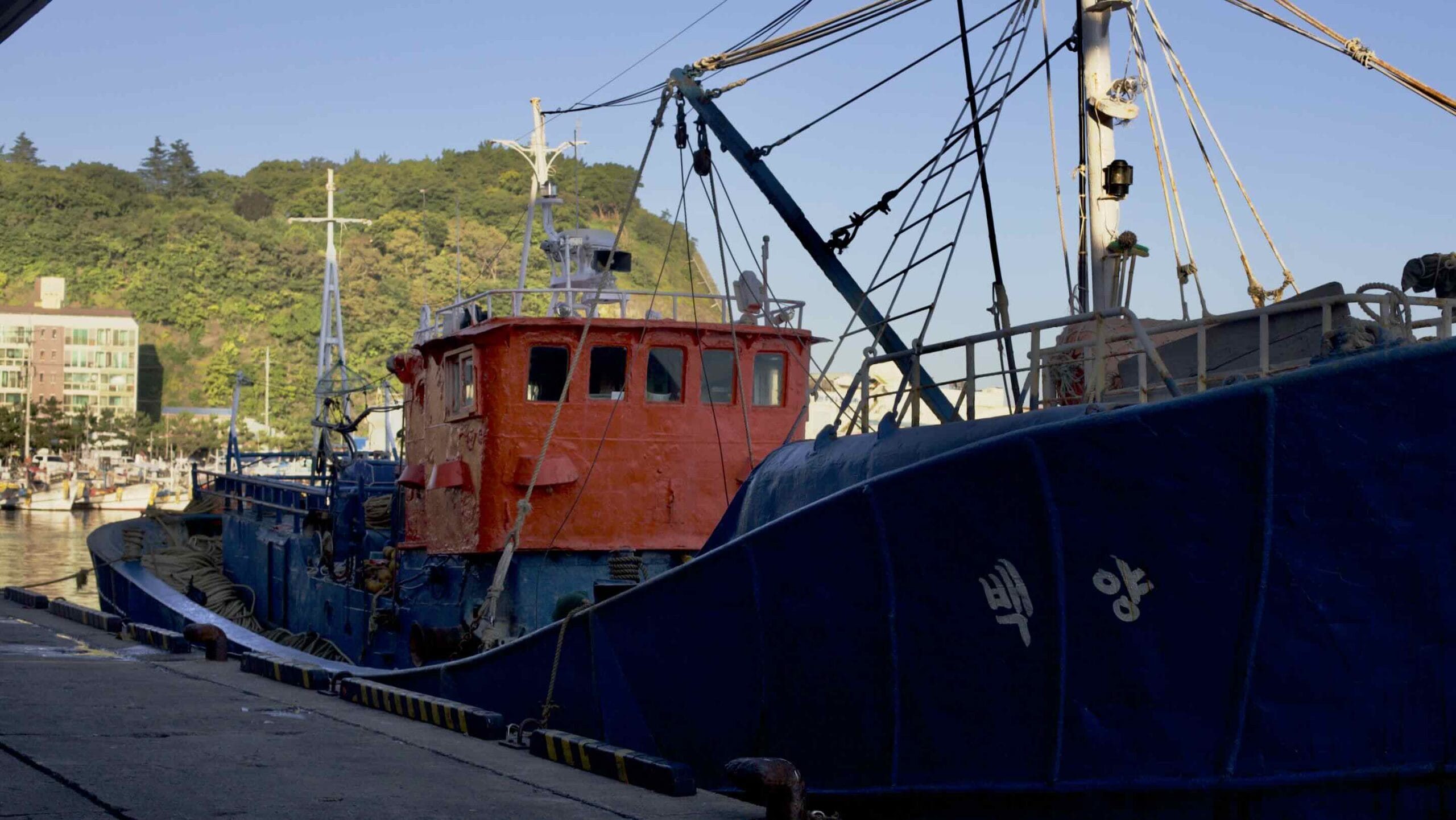
East Sea Fishing in Korea
Fishers live up and down Korea’s East Sea. However, the biggest fishing ports live in North Gyeongsang Province.

Guryongpo Town (구룡포읍; map) in Pohang City holds one of the province’s most famed ports. During the Japanese Occupation (1910~1945), thousands of Japanese fishers moved to Guryongpo to scoop tons of fish out of its East Sea waters.
Today Guryongpo Town’s speciality is Gwamegi (과메기), a half-dried Pacific herring which diners dip in red pepper paste and fold in a ssam (쌈; leafy green wrap).
Yeongdeok County and Uljin County earn their fame from snow crabs. Every February and March, Ganggu Port and Hupo Port swell with customers looking to dine on giant, meat stuffed crab legs.
Floating far out in the East Sea, fishers on Ulleungdo Island (울릉도; map) and nearby Dokdo make a living scooping up squid and abalone from the deeps.
Other famous East Sea delicacies include:
Industry
Cargo ships don’t overwhelm the East Sea. Why? The countries sitting on the east Sea — Korea, Japan, and Russia — aren’t big trading partners. They’re focused on markets further out.
- Japan keeps most of its shipping ports on their eastern shores along the Pacific.
- Korea’s east coast ports send ships through the Korea Strait and out into the South China Sea, avoiding the East Sea.
- Russia’s East Sea ports are smaller. Many vessels sail to domestic ports or through straits into the Pacific or Sea of Okhotsk.

Some of Korea’s largest ports lie near the bottom of the peninsula on the East Sea.
- Ulsan Metropolitan City keeps some of the world’s largest shipyards and car factories in the world. On a peninsula jutting out into the East Sea, find giant construction cranes assembling tanker ships and oil platforms; new Hyundai SUVs streaming out of factories and onto building-sized transport ships.
- Pohang City is home to POSCO (Pohang Iron & Steel Company). The world’s sixth largest steel manufacturer, POSCO’s steel plants intake raw materials from their East Sea ports, send them through smelters and foundries configured in a U-shape, and dump the finished product back onto ships waiting further down the coast.
- Busan Metropolitan City holds the Port of Busan, the largest in South Korea (sixth in the world). The port processes over 22 million containers each year, accounting for 6% of the nation’s GDP. Its 30 berths accept and depart some of the largest ships to over 500 global ports.
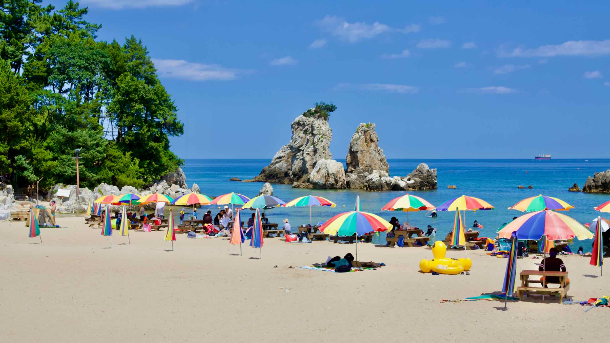
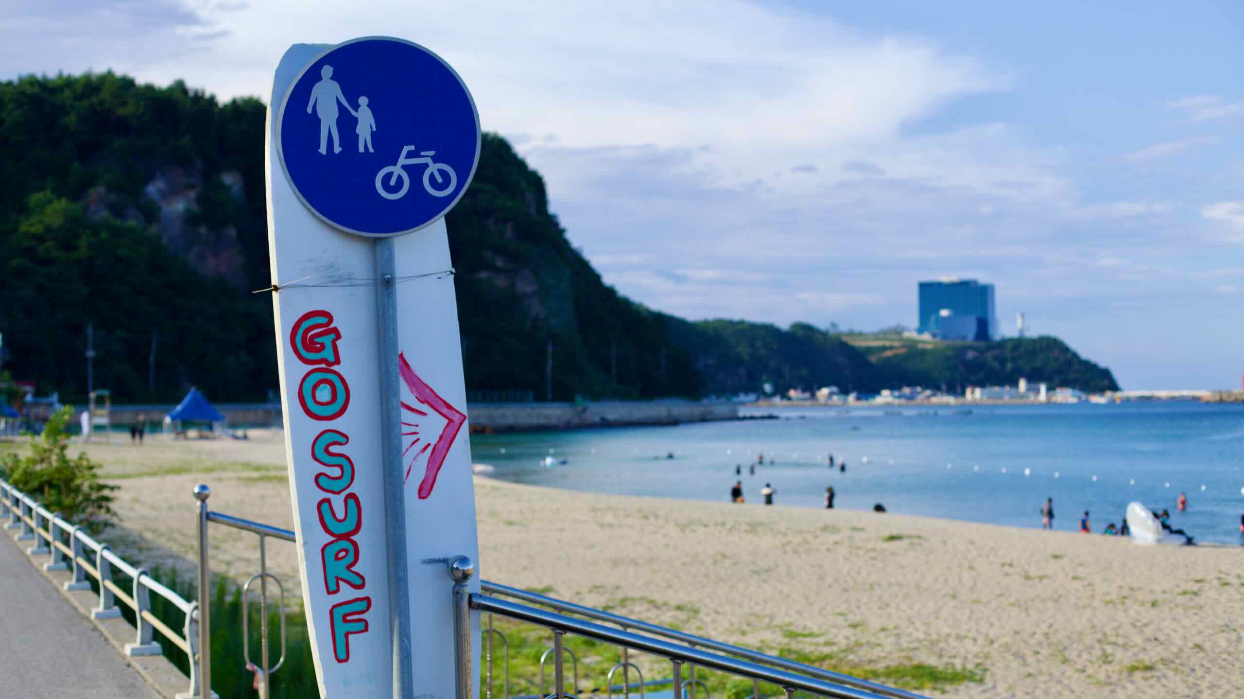
Tourism

While the West Sea (Yellow Sea) features warmer waters, the East Sea’s sky blue surf attracts more sunbathers.
Cities along the East Coast — Gangneung and Sokcho — gain their fame for having some of the nation’s best seafood and beaches. They attract vacations all the way from Seoul, Incheon, and Gyeonggi Province in the country’s west.
- Goraebul Beach in Yeongdeok County, North Gyeongsang Province
- Gyeongpo Beach in Gangneung City, Gangwon Province
- Naksan Beach in Yangyang County, Gangwon Province
- Sokcho Beach in Sokcho City, Gangwon Province
New Year’s Sunrise

New Year’s! Most folks in the west celebrate it with midnight revelry. Not in Korea. Many wake up at four in the morning to visit the East Sea coast. There they gaze eastward over the water and watch the year’s first sunrise break over Korea.
- Homigot Sunrise Festival in Pohang City
- Ganjeolgot Sunrise Festival in Ulsan City
- Gyeongpo Sunrise Festival in Gangneung City
Whale Migration
China’s borders no longer touch the East Sea, crowded out by Russia and North Korea. However, their ancient name for the sea translates to “the Sea of Whales.”

Many whales live, feed, and migrate through the East Sea, including gray, minke, humpback and right whales. Now heavily regulated, Japanese, Korean, and later British, Canadian, and American whaling ships once hunted the East Sea’s waters for whale meat and oils.
Ulsan Metropolitan City near the bottom of Korea’s East Sea coast claims the name “Whale City.” Every year from April till June, whales migrate through a protected area 20~30 kilometers off its coast.
But Ulsan’s relationship with these sea mammals dates back thousands of years.
- Its famed petroglyphs (반구대 암각화; map), carved into an inland cliff in 6,000 BCE, depict ancient Koreans hunting whales.
- Jangsaengpo (장생포; map) was an ancient whaling village. When the practice was banned, the city transformed the settlement into a cultural village and whale museum. Jangsaengpo also hosts a whale watching cruise.
- Roy Chapman Andrews (로이 채프먼 앤드루스) was an explorer and one of the real-life inspirations for Indiana Jones. He visited Jangsaengpo in 1912 to study gray whales.