Cycle resort towns, tranquil beaches, and coastal cliffs to Korea's northern border.
Look! Up ahead. Bunkers and barbed wire.
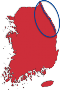
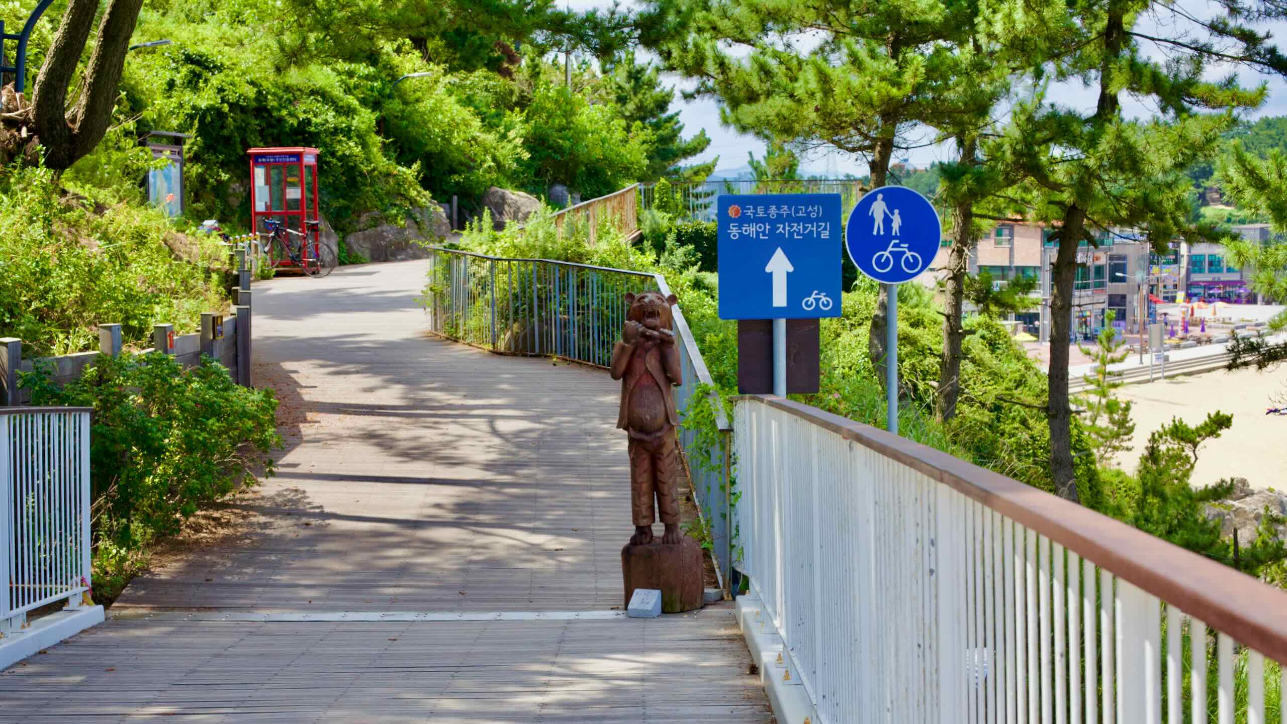
The Gangwon (East Coast) Bicycle Path (동해안자전거길 (강원); map) traces the coastline of Gangwon State, covering the northern half of Korea’s East Coast Route.
This long and varied course takes you from fishing villages and seaside cafés to bustling port cities. It ends at the DMZ, where scenic coastline meets one of the world’s most heavily fortified borders.
The Gangwon Path forms the northern half of the East Coast Route. It winds along the East Sea in Gangwon State (강원도; map), leading cyclists through coastal cities and serene landscapes.
The Gangwon Bike Path is longer than the southern Gyeongbuk Bike Path — 225 versus 122 kilometers — and features both steady coastal roads and challenging hills. Its journey ends near the Demilitarized Zone (DMZ), offering a glimpse into North Korea from the Unification Observatory.
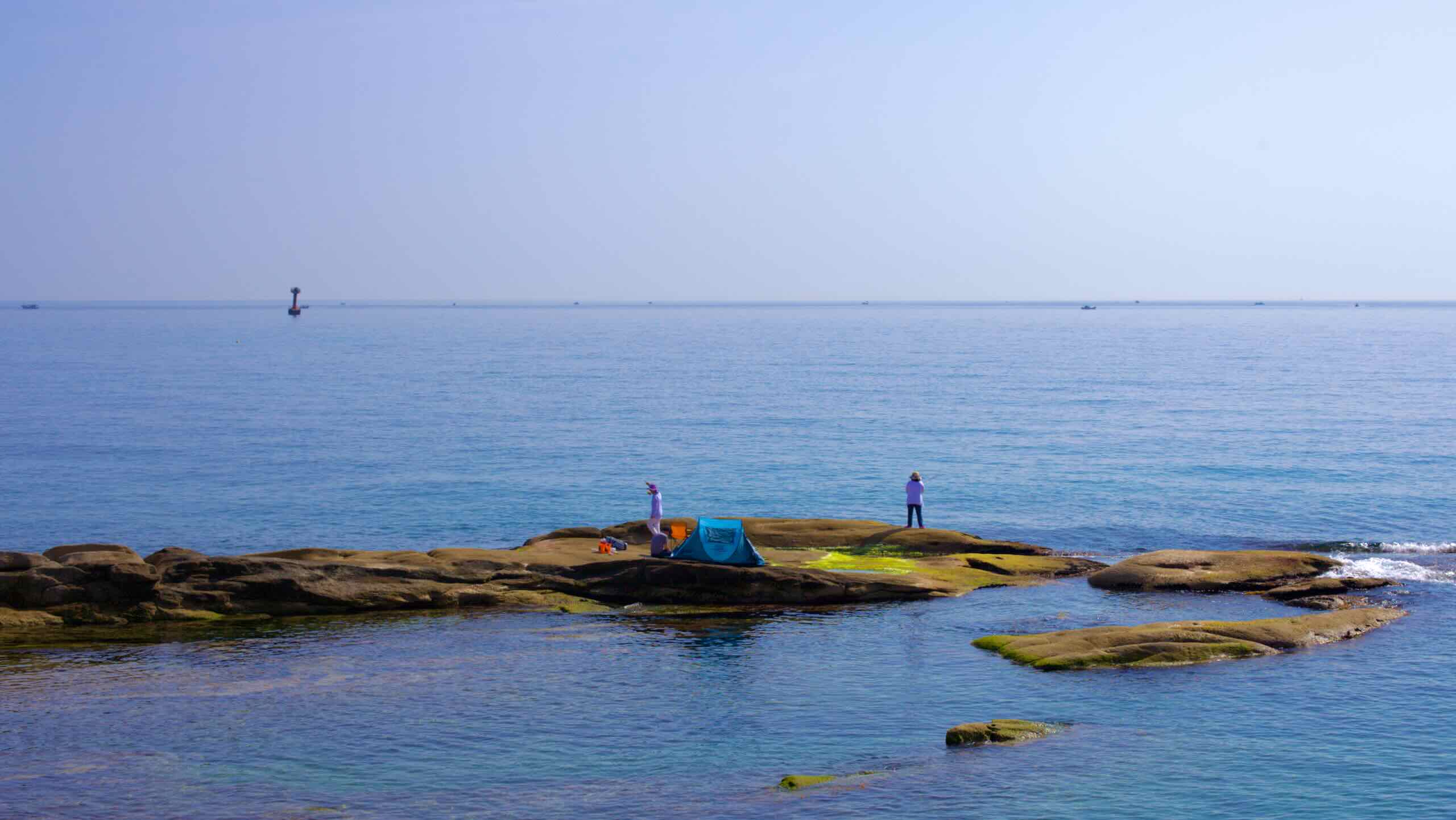
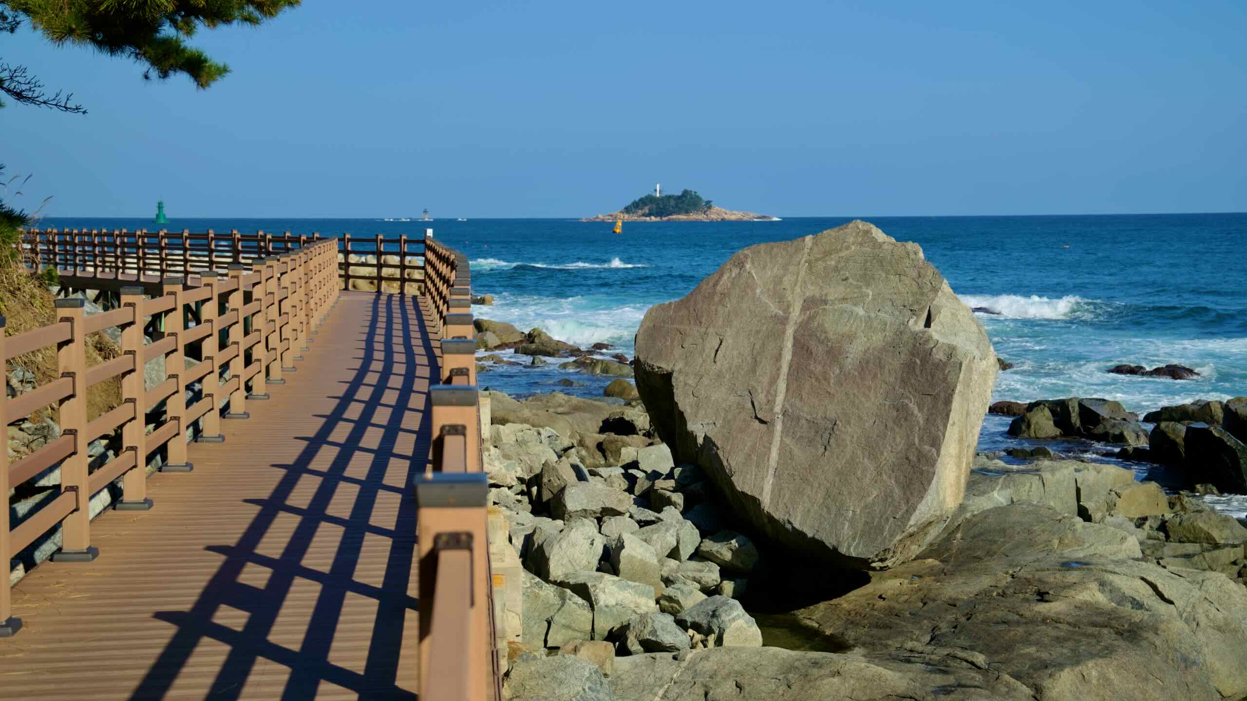
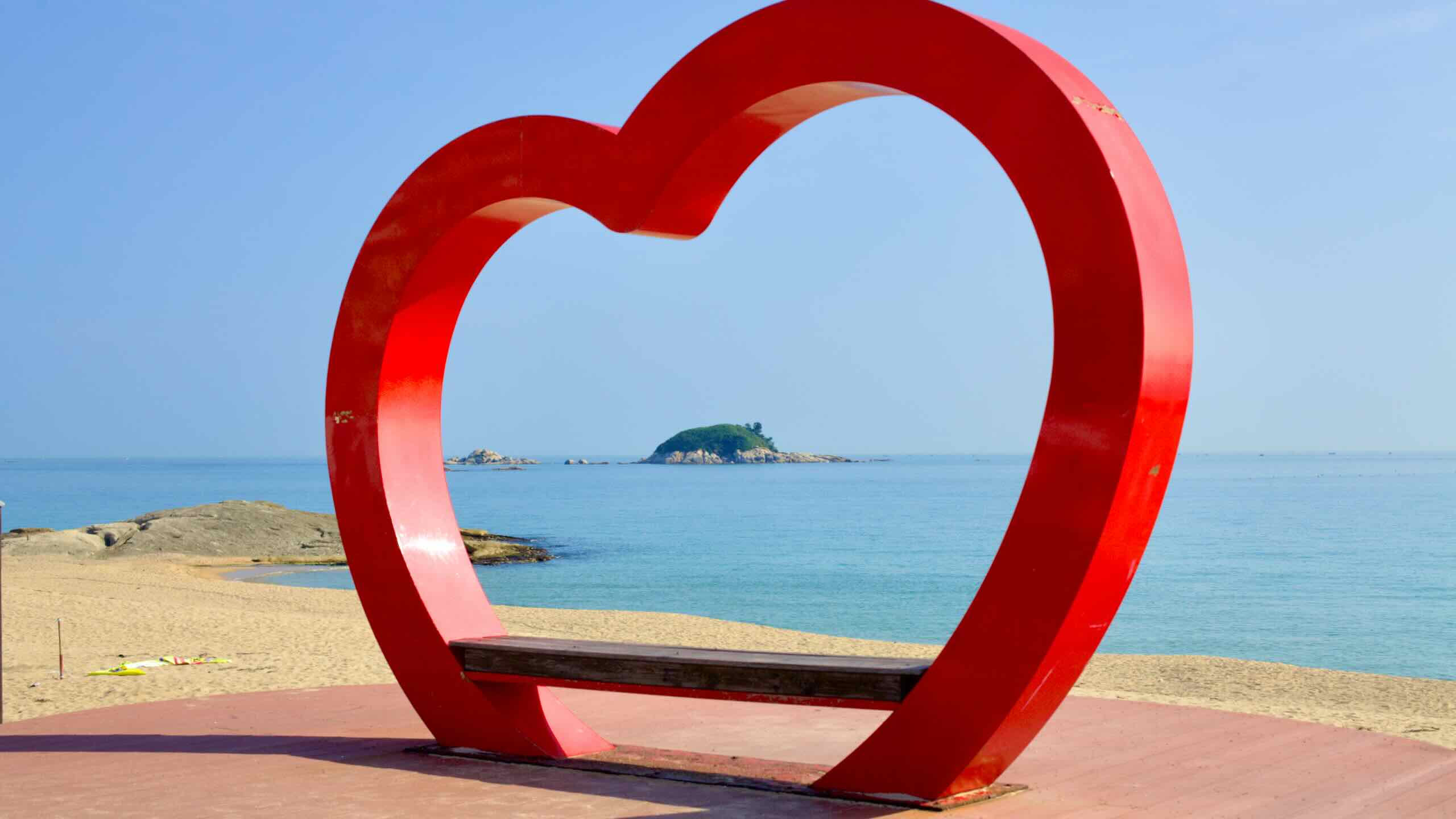
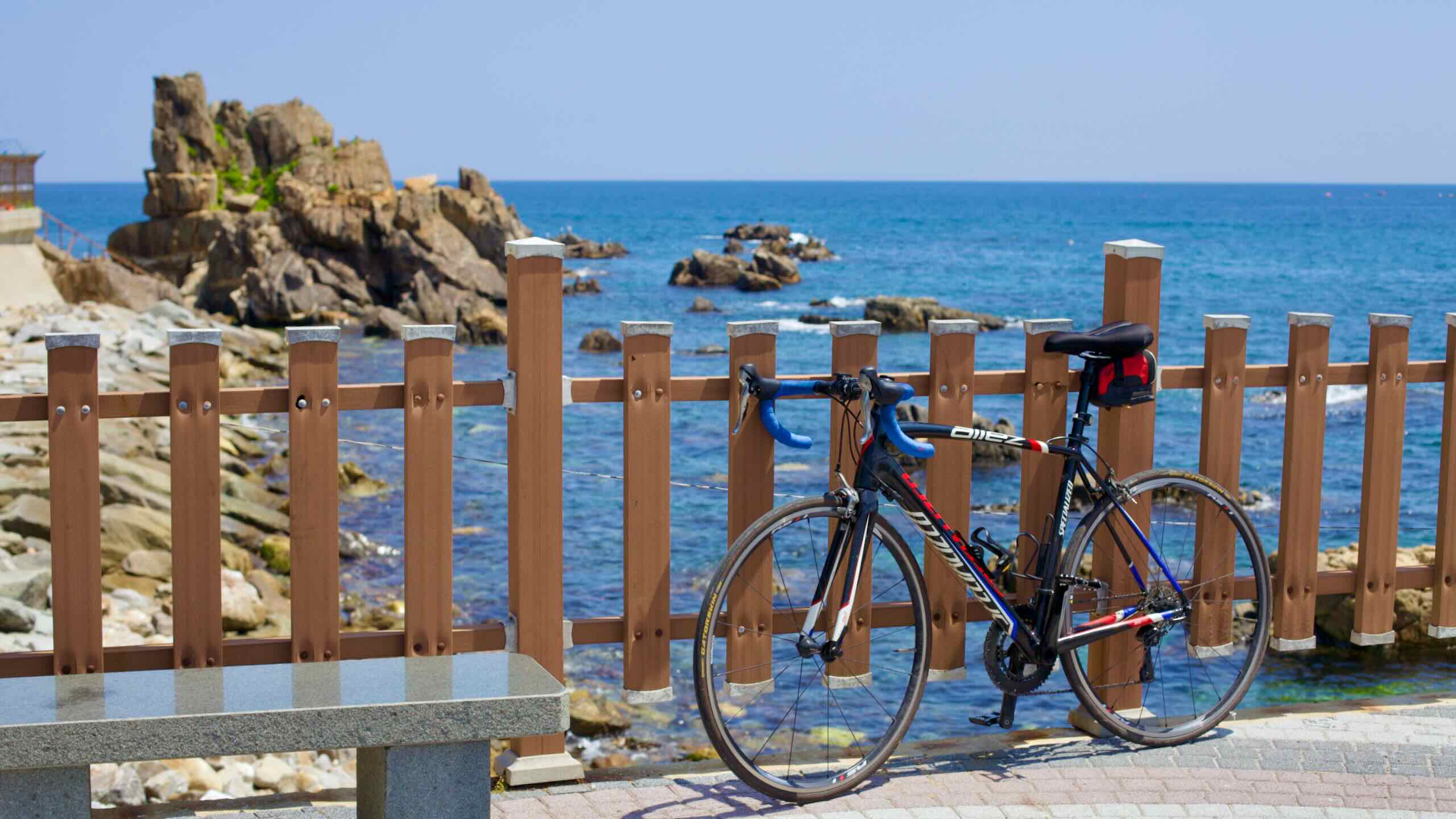
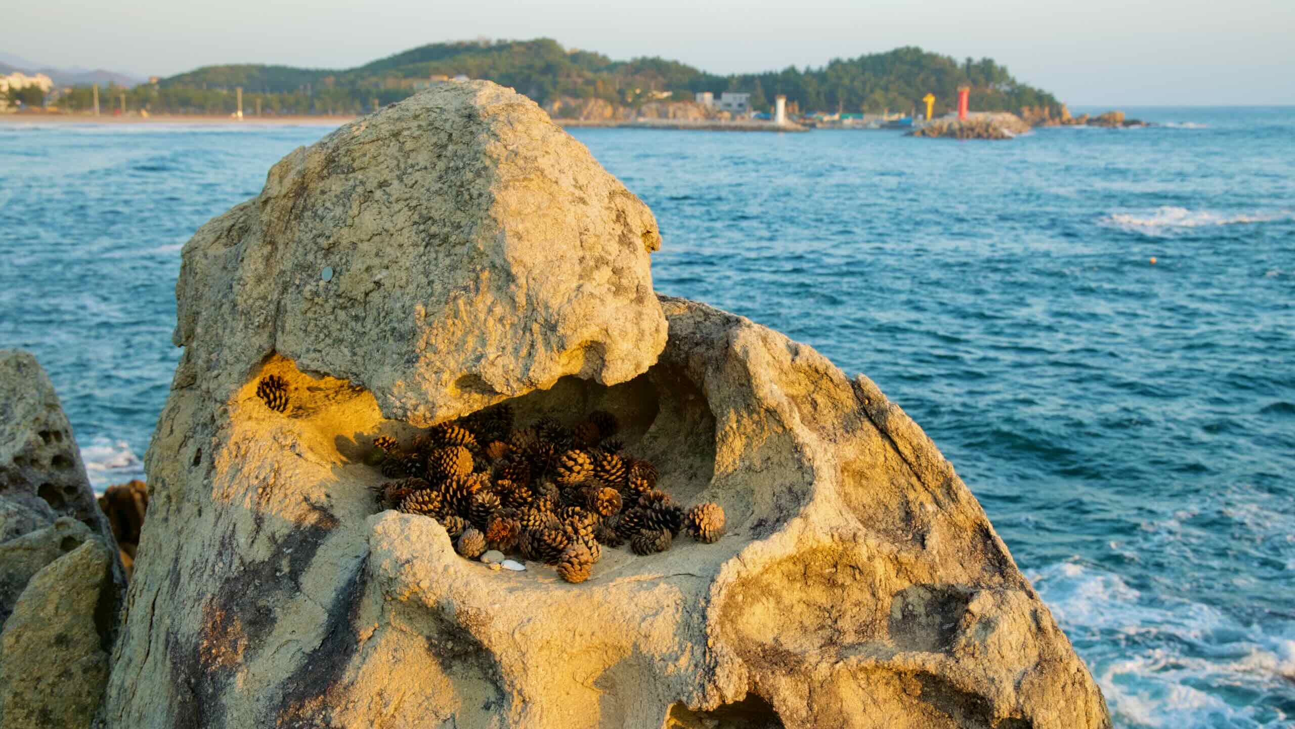
Along the route, encounter striking coastal cliffs, ancient pavilions, vibrant beaches, and renowned seaside cities.
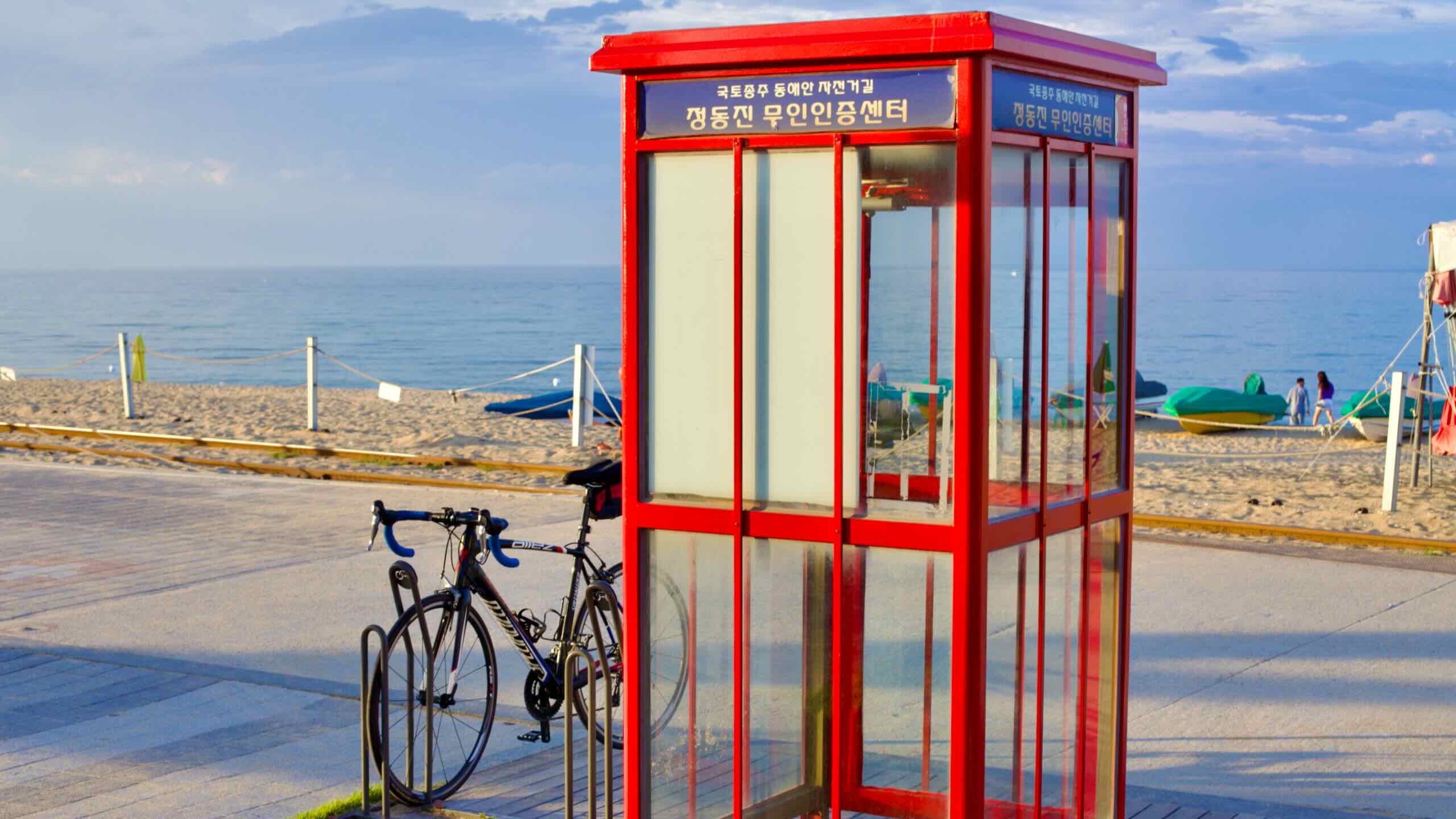
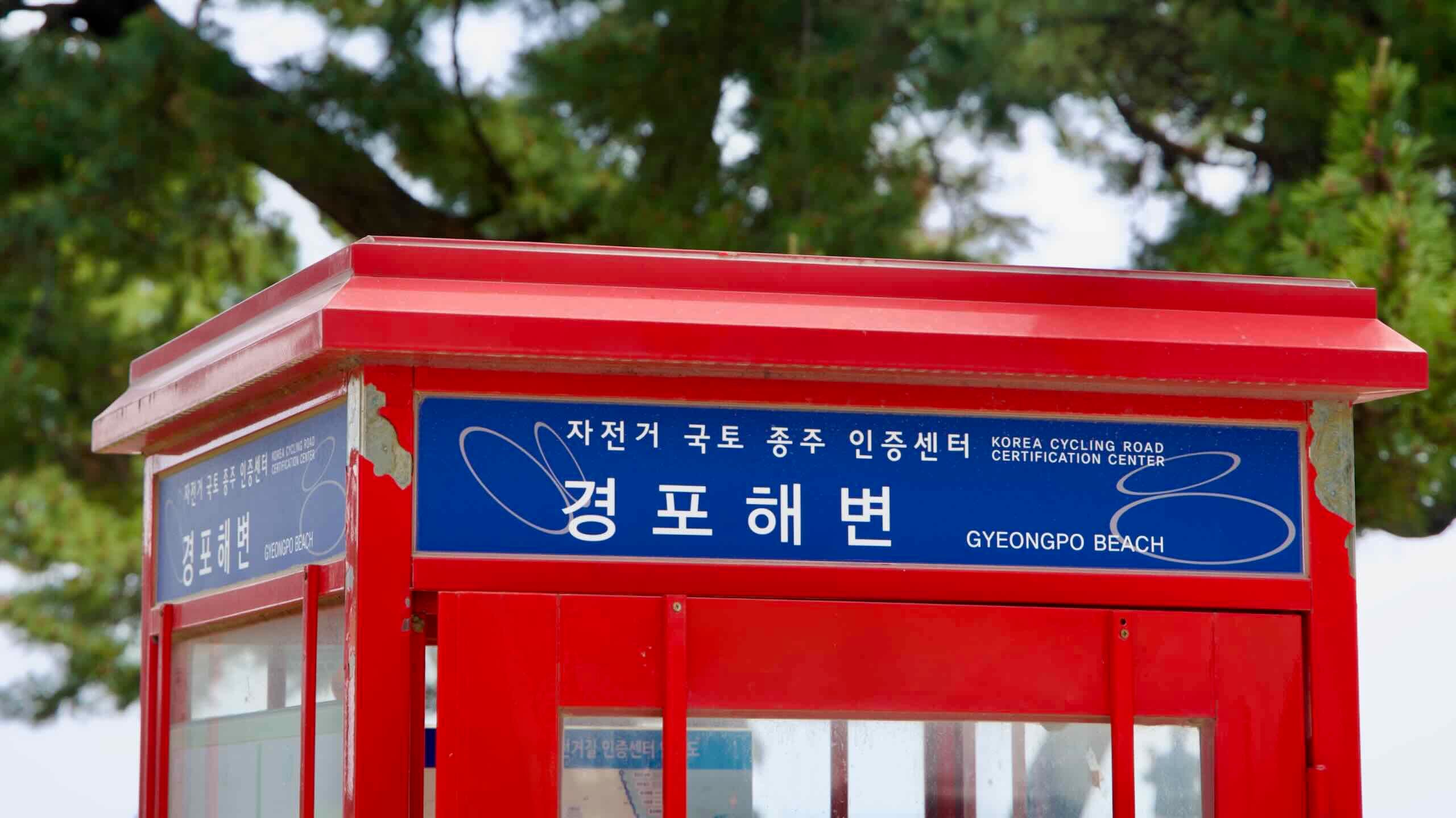
The Gangwon Bike Path begins near Gopo Port in southern Samcheok City and stretches to the Unification Observatory near the DMZ. Unlike other certification bike paths, only its northern endpoint is marked by a certification center.
The start of the path is remote, making it a challenge to access. Many cyclists begin in Samcheok’s larger ports or skip the southernmost section entirely, starting at Imwon Port, the location of the first certification center.
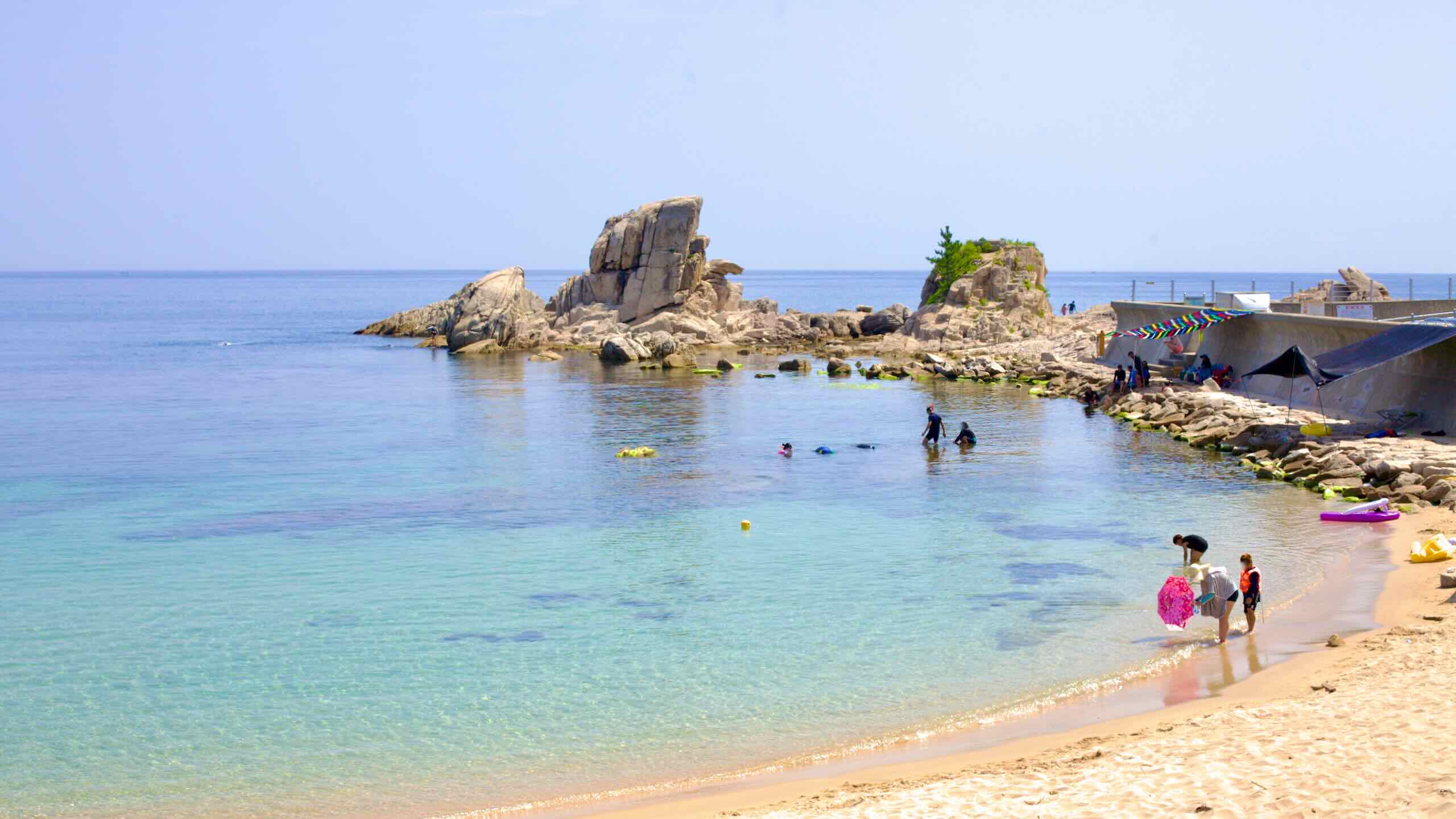
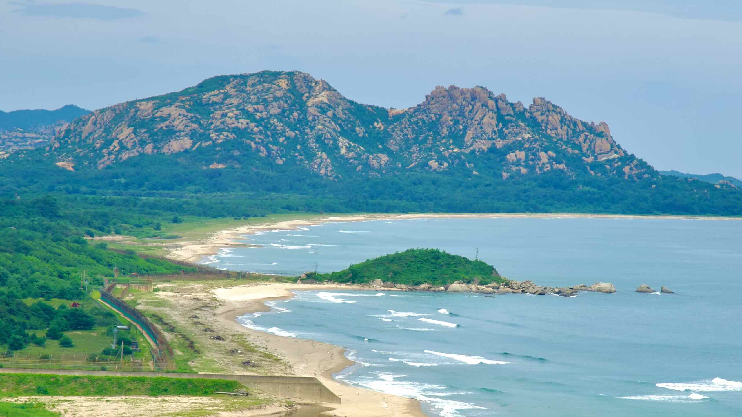
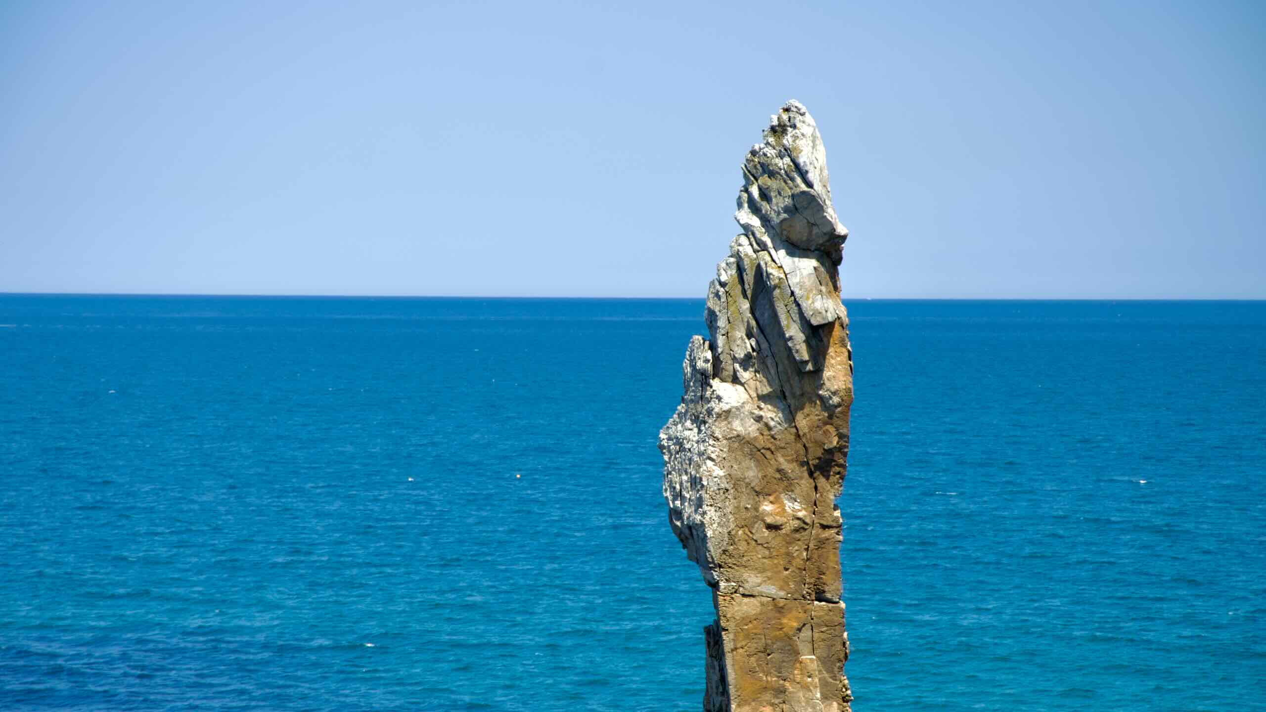
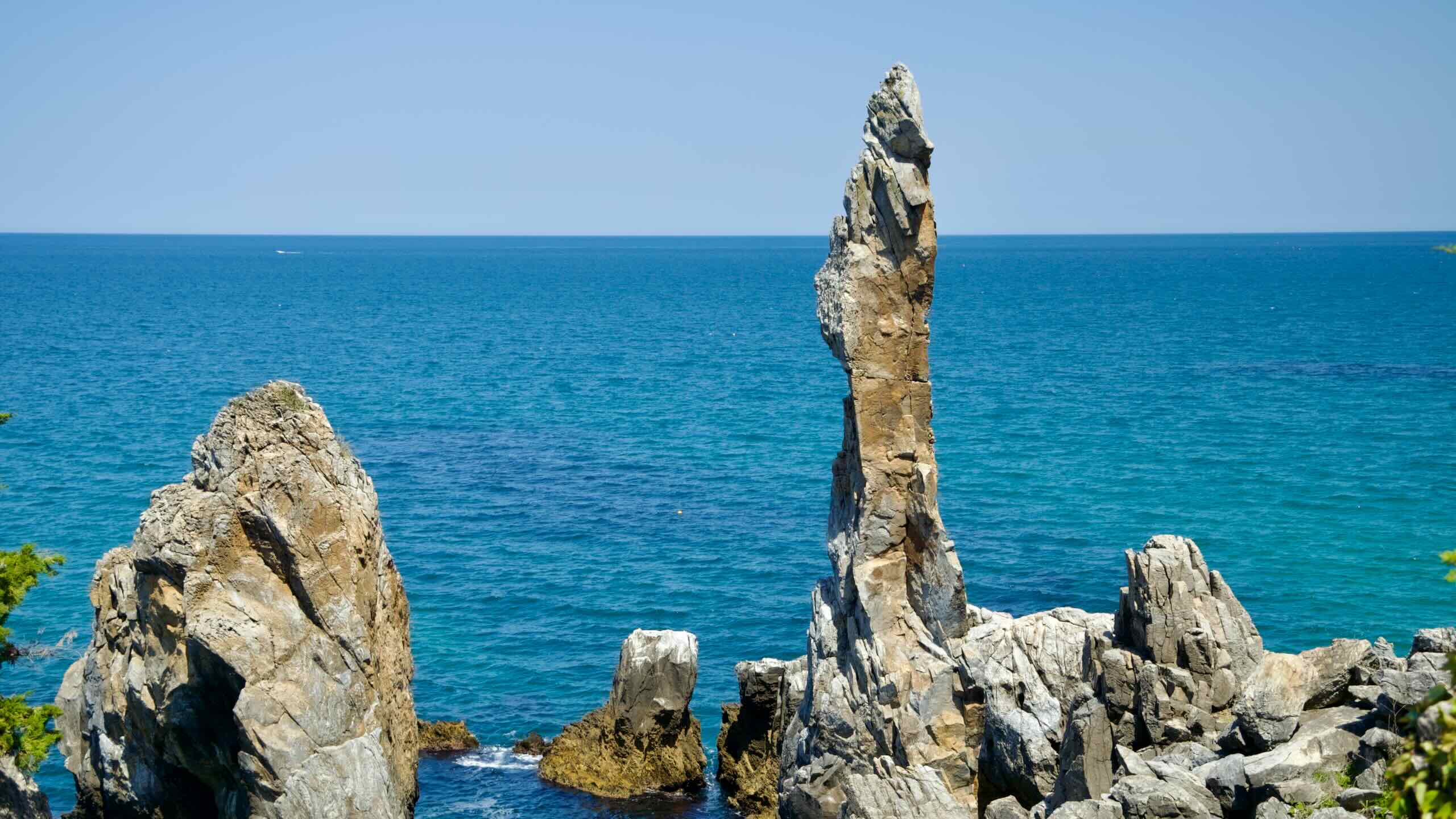
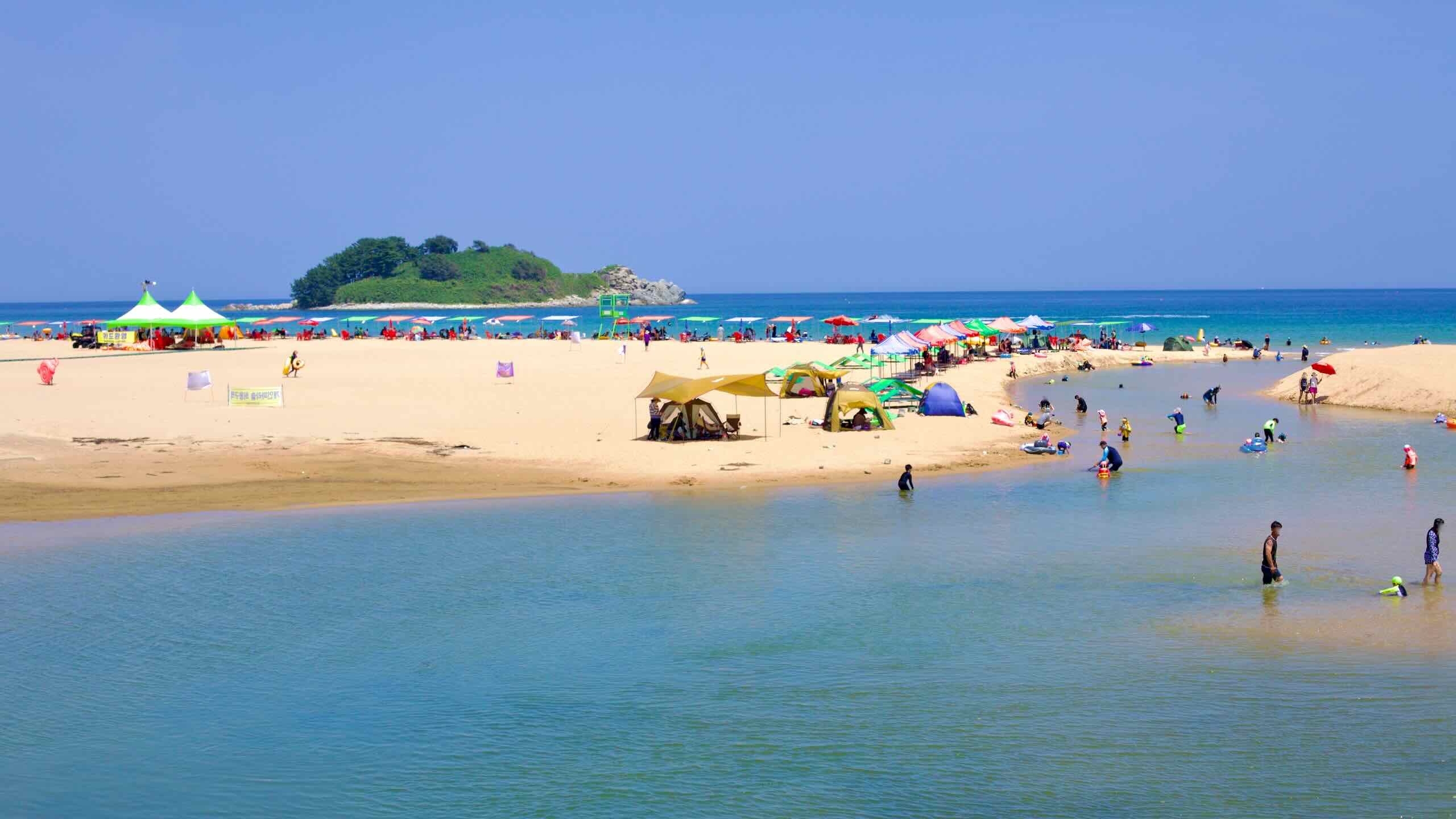
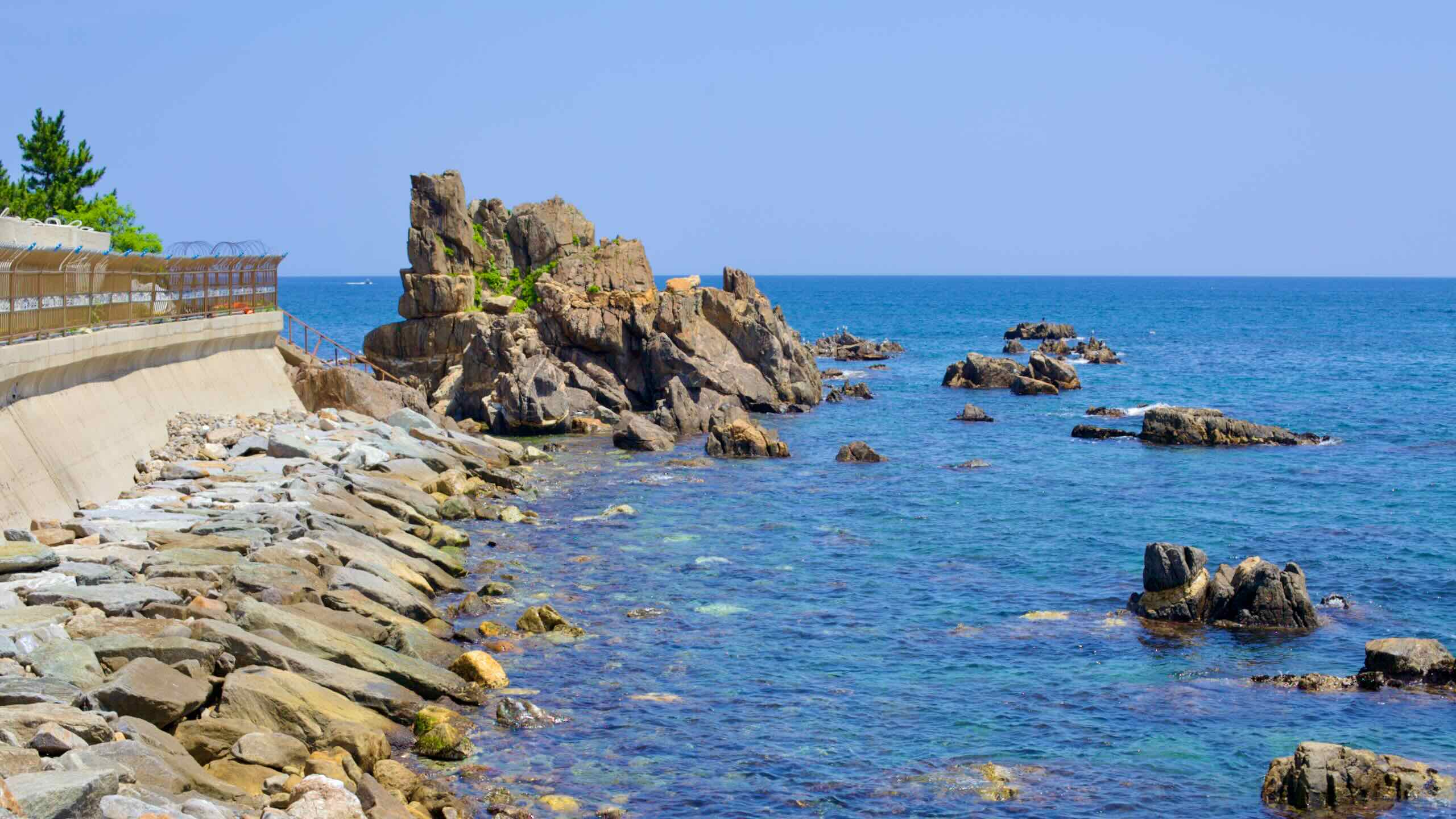
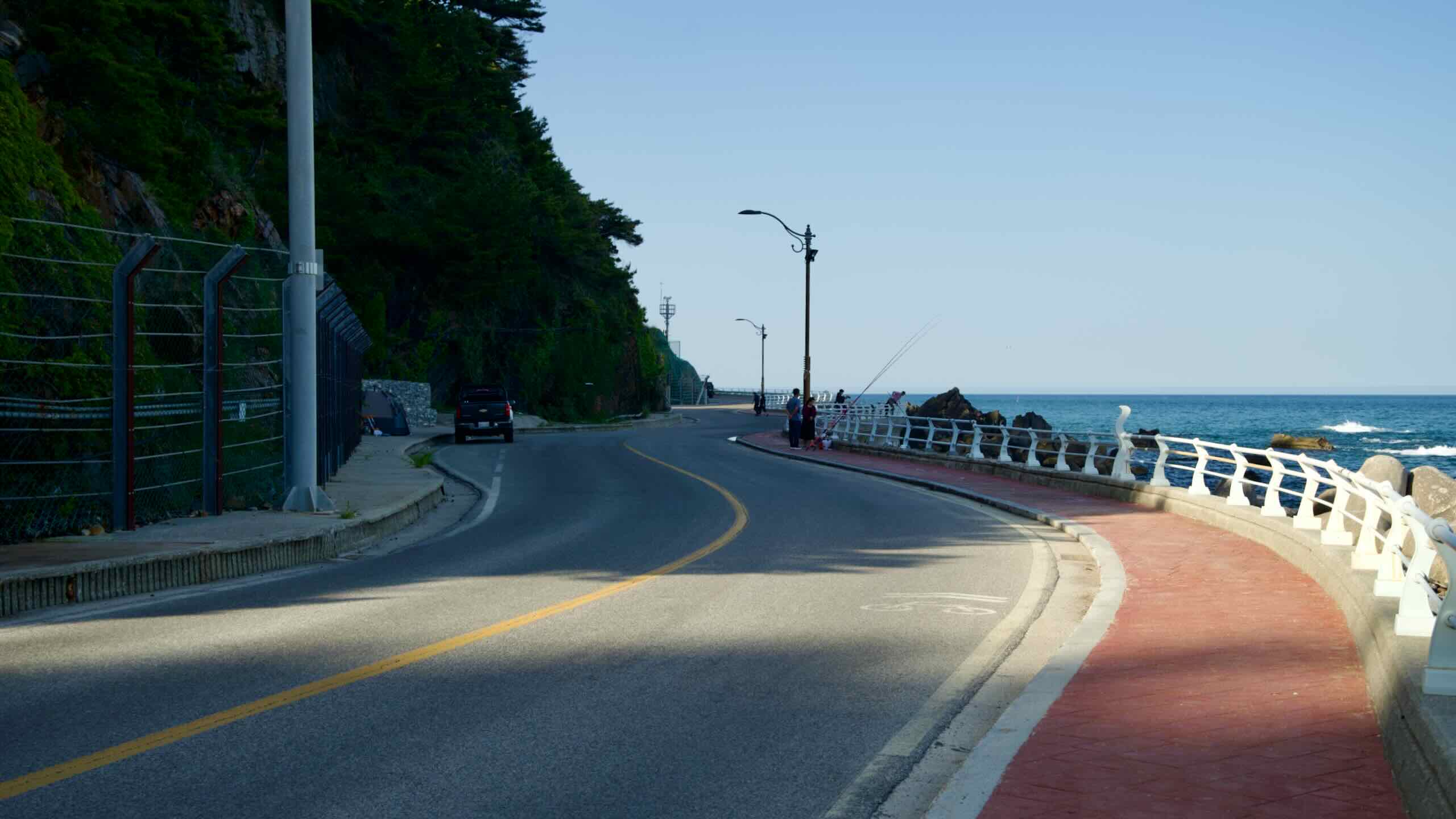
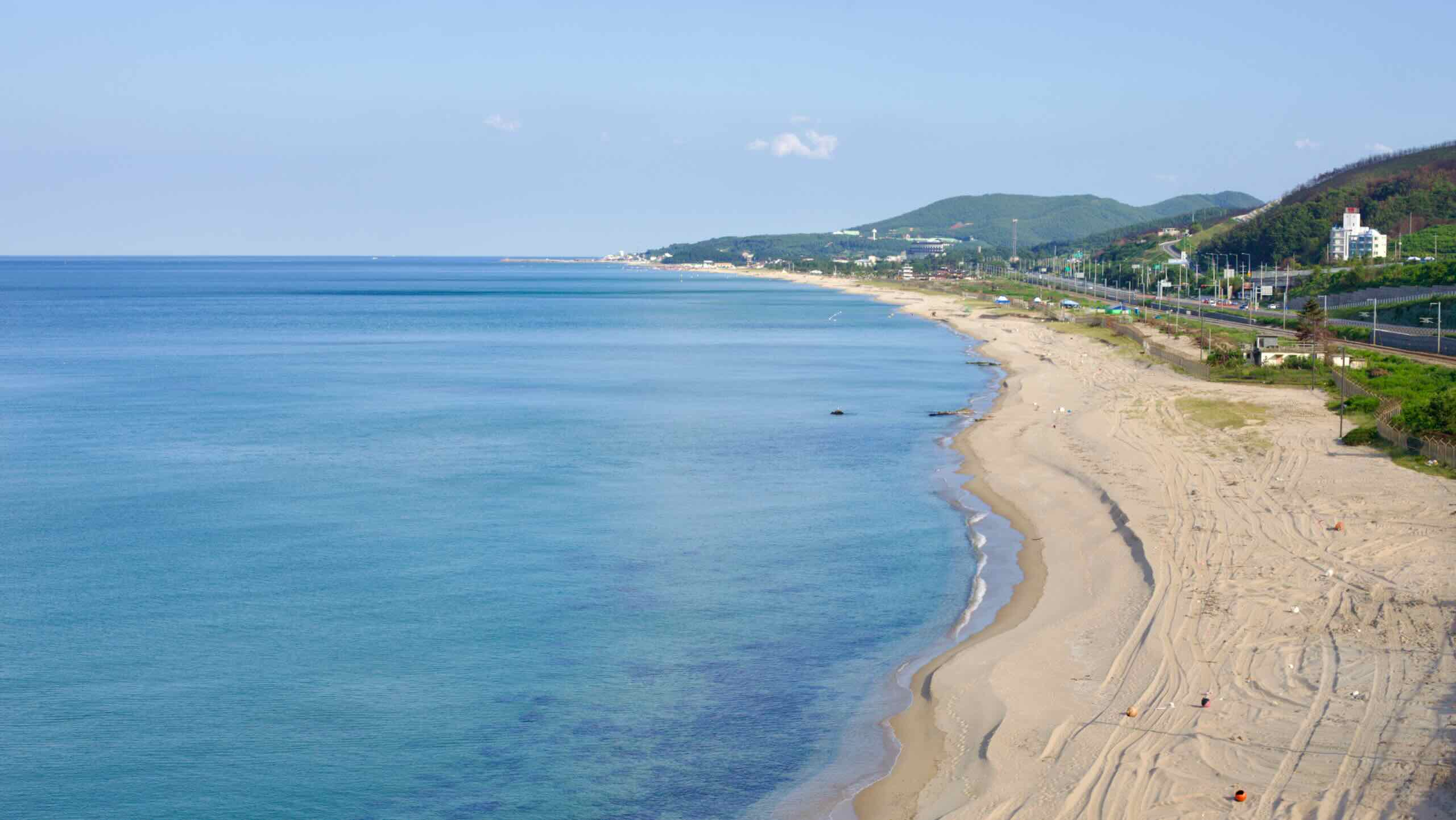
Start your Gangwon Bike Path journey at Gopo Beach, cycling along steep, curving roads that climb over seven coastal hills. This challenging section features stunning highlights like candlestick-shaped rocks, sweeping observatories, and cable cars.
Pass through Gopo Port, a village straddling two provinces, and continue past white-sand beaches, towering cliffs, and serene recreation areas. Along the way, you’ll encounter unique landmarks such as the Lady Suro Memorial Park and Isabu Road.
End your ride at Mangsang Beach, a sandy stretch with shallow waters and Korea’s first automobile camping resort. This section tests endurance while delivering some of the most scenic views on the Gangwon coast.
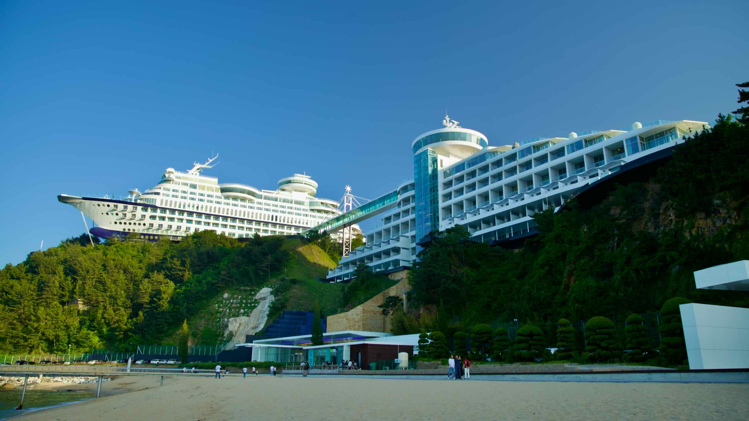
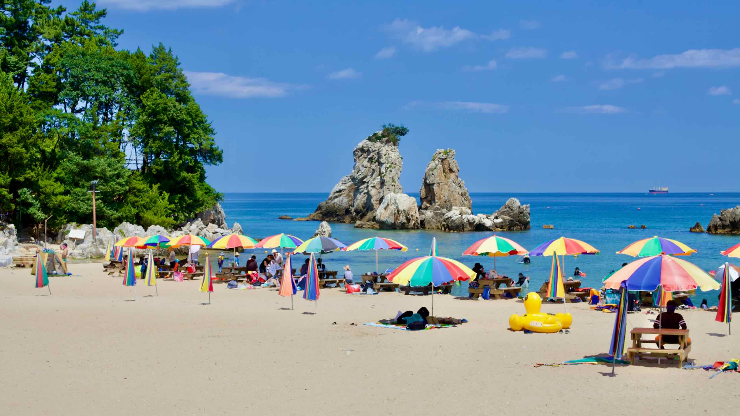
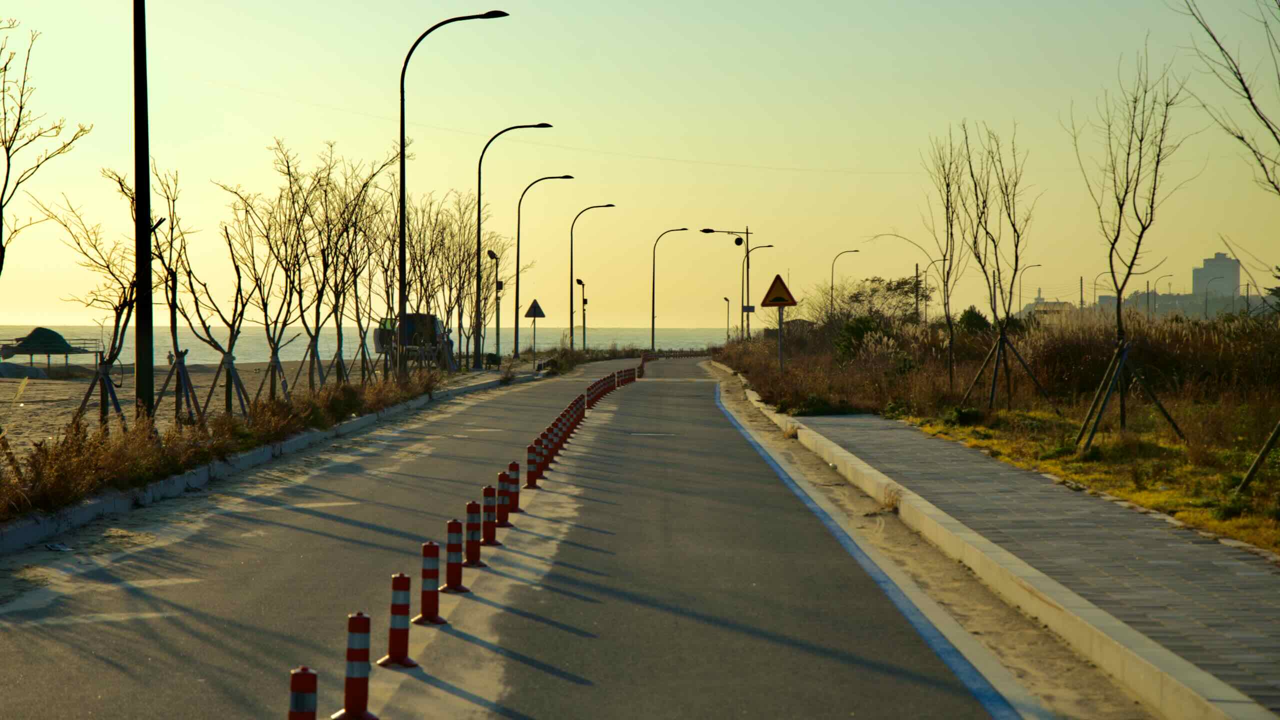
Begin your journey through Gangneung City, the largest East Sea city in Gangwon State. This section of the Gangwon Bike Path covers 57.6 kilometers, starting at Mangsang Beach and ending at Jumunjin Beach.
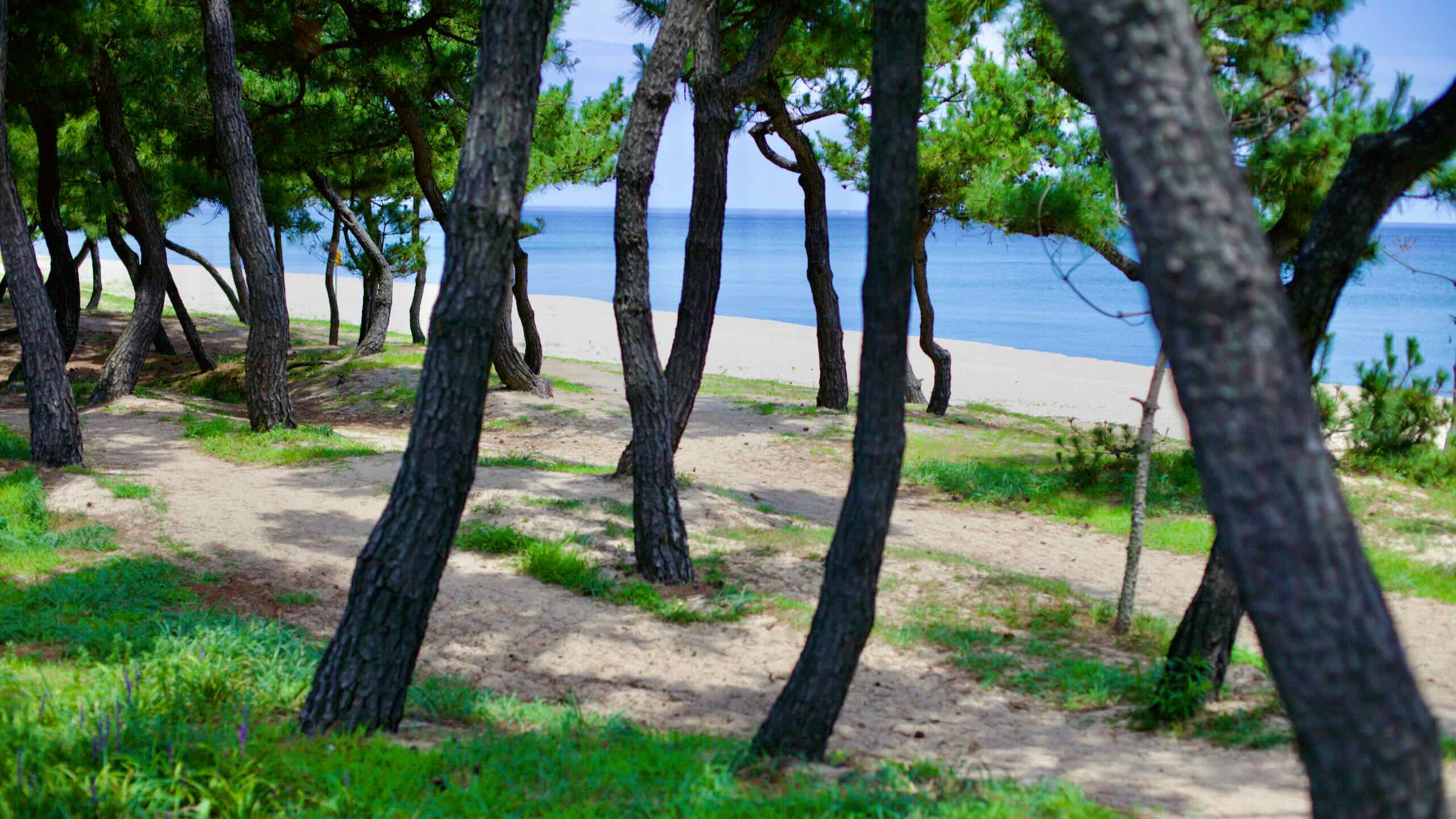
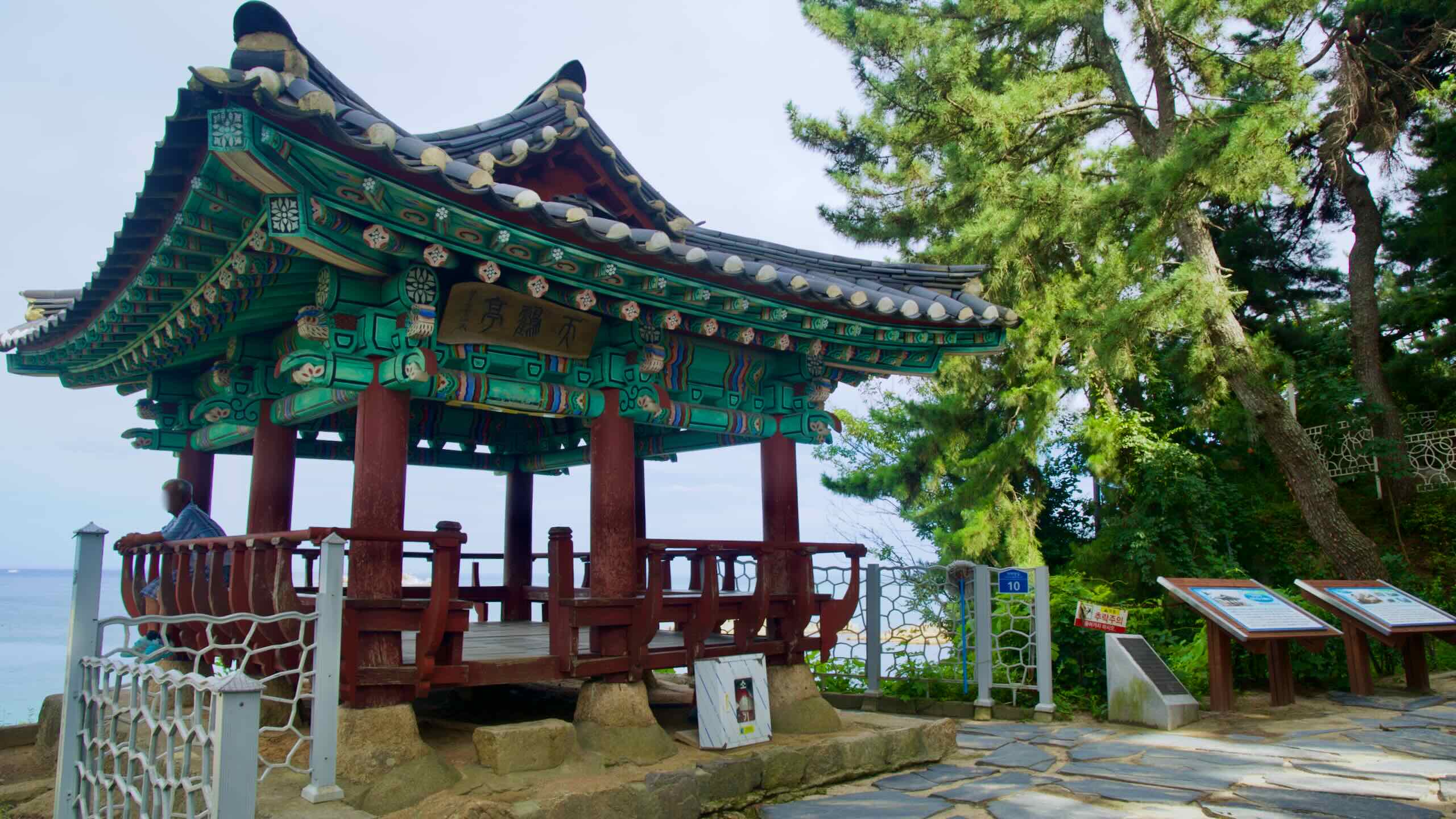
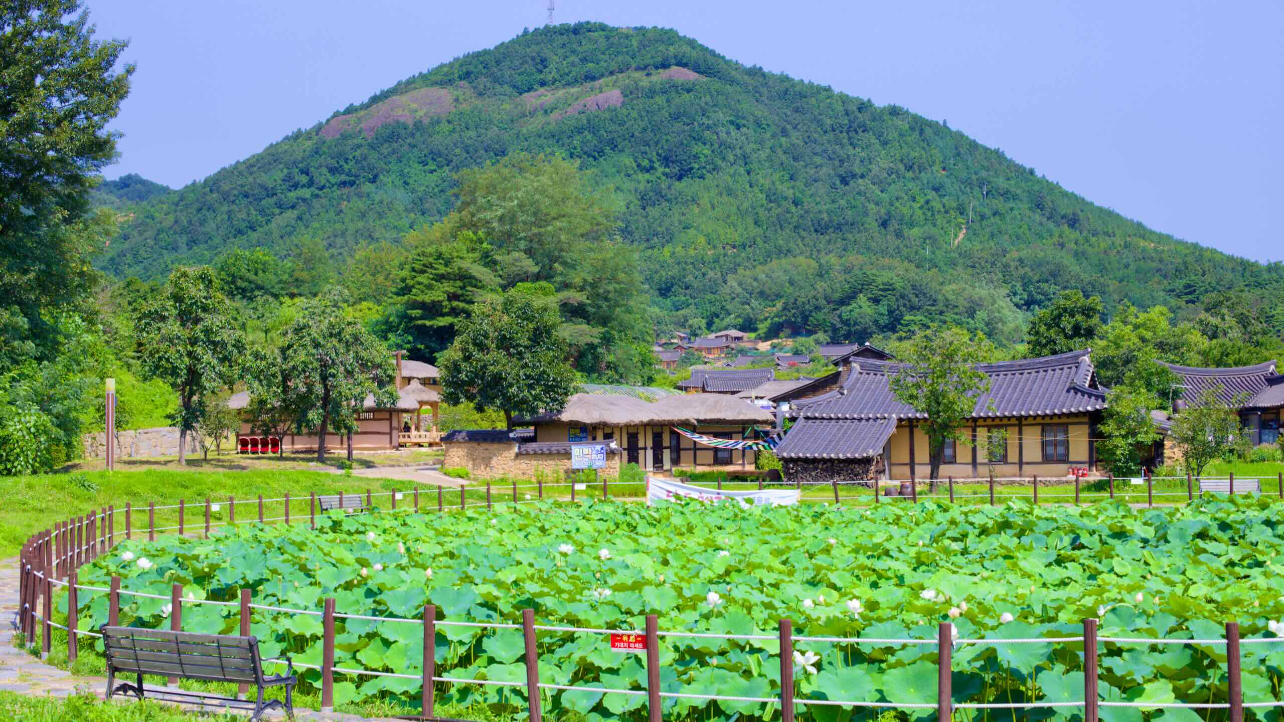
The course is less challenging than the preceding Samcheok & Donghae section but remains packed with highlights. Cyclists will enjoy a mix of scenic coastal roads, bustling markets, and pine forests. Along the way, discover cultural landmarks like the 700-year-old Gyeongpodae Pavilion, sprawling beaches like Anmok and Gyeongpodae, and Jumunjin Port, known for its seafood markets.
This route captures Gangneung’s diverse beauty, blending modern amenities with timeless scenery.
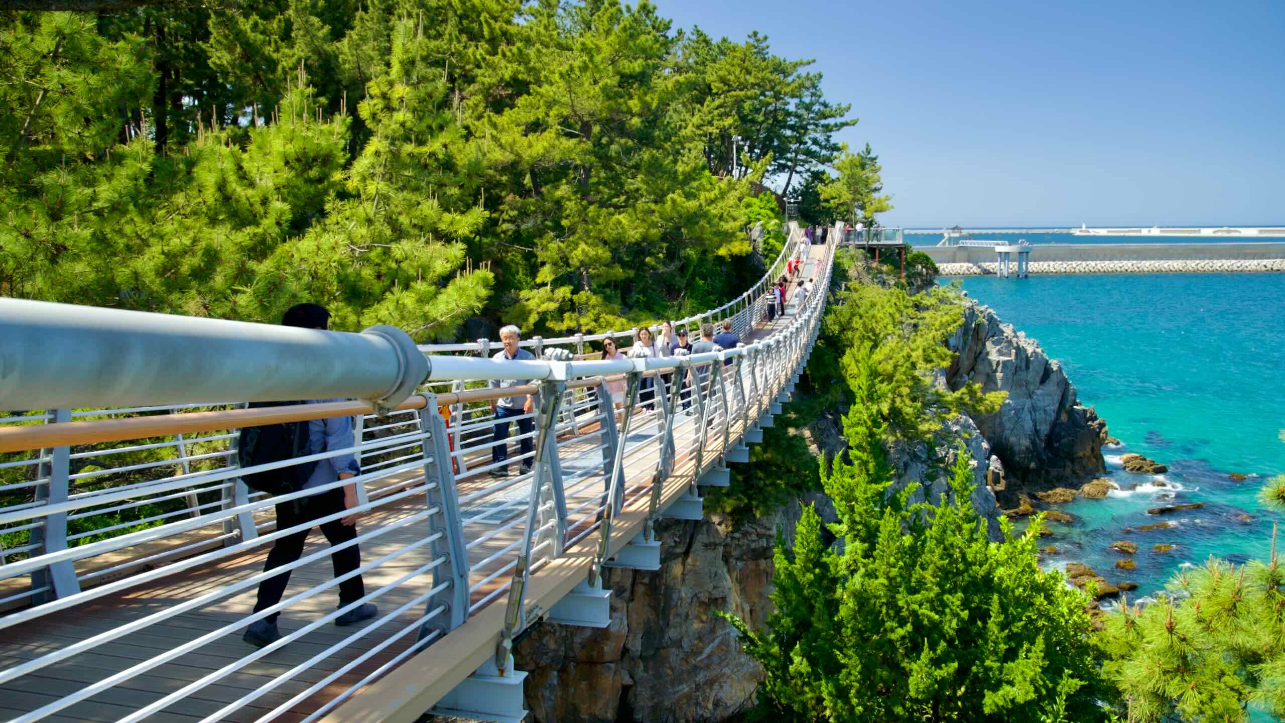
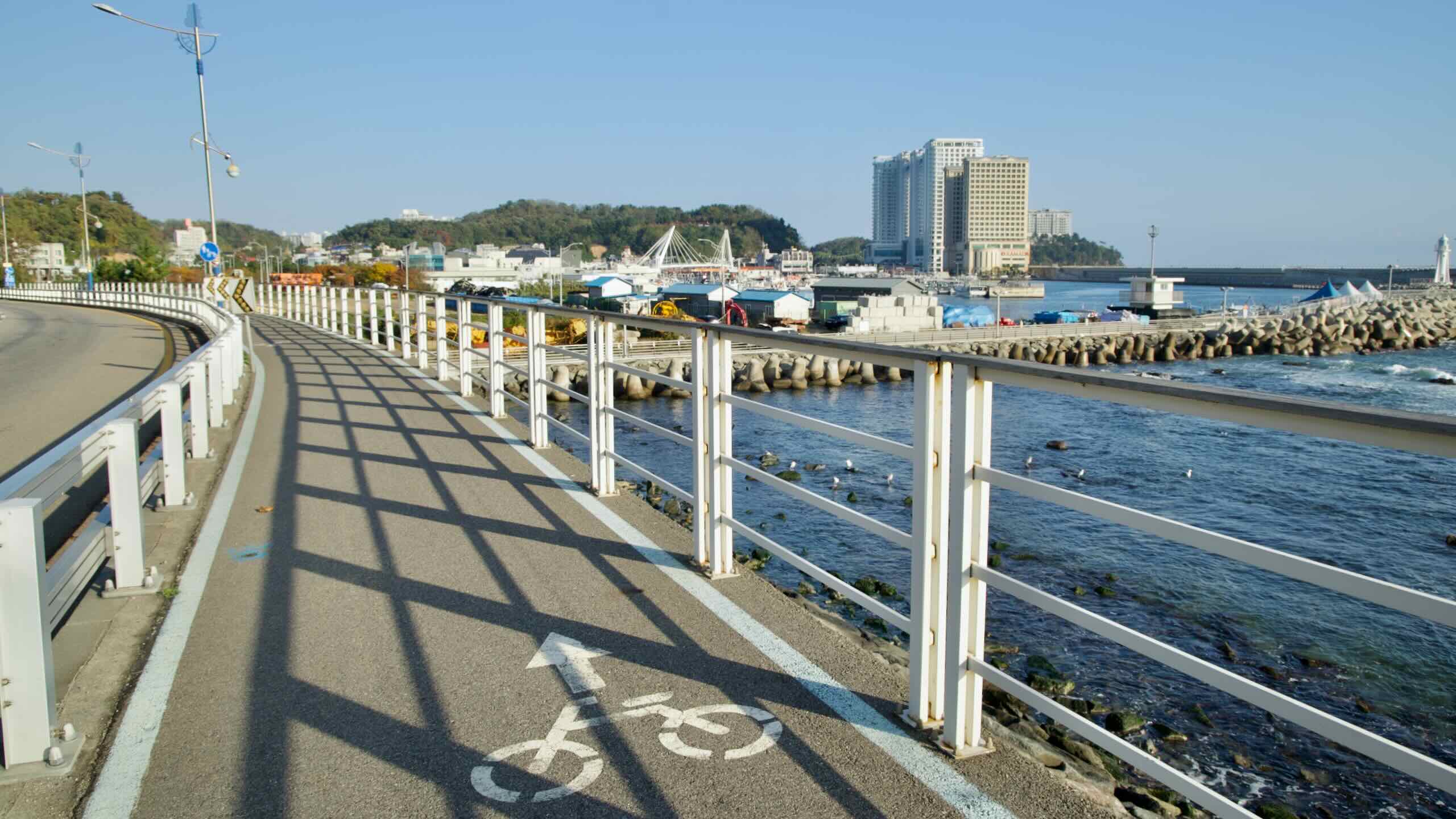
Embark on the third leg of the Gangwon Bike Path, tracing the coasts of Yangyang County and Sokcho City. This section covers 46.7 kilometers, beginning at Jumunjin Beach and ending at Jangsa Port.
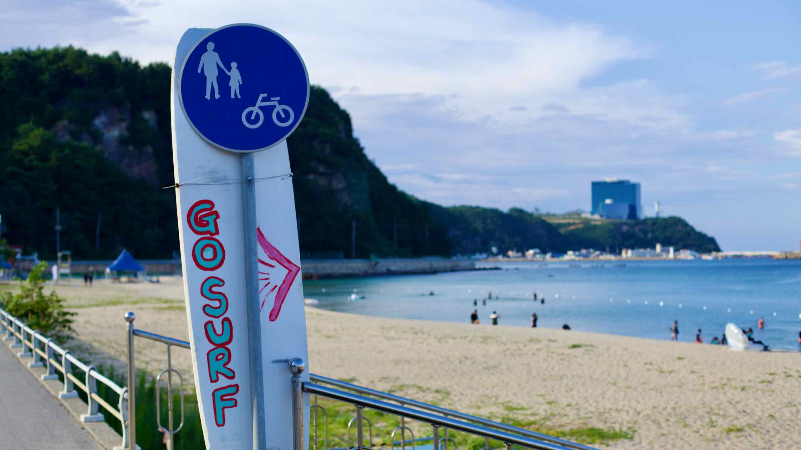
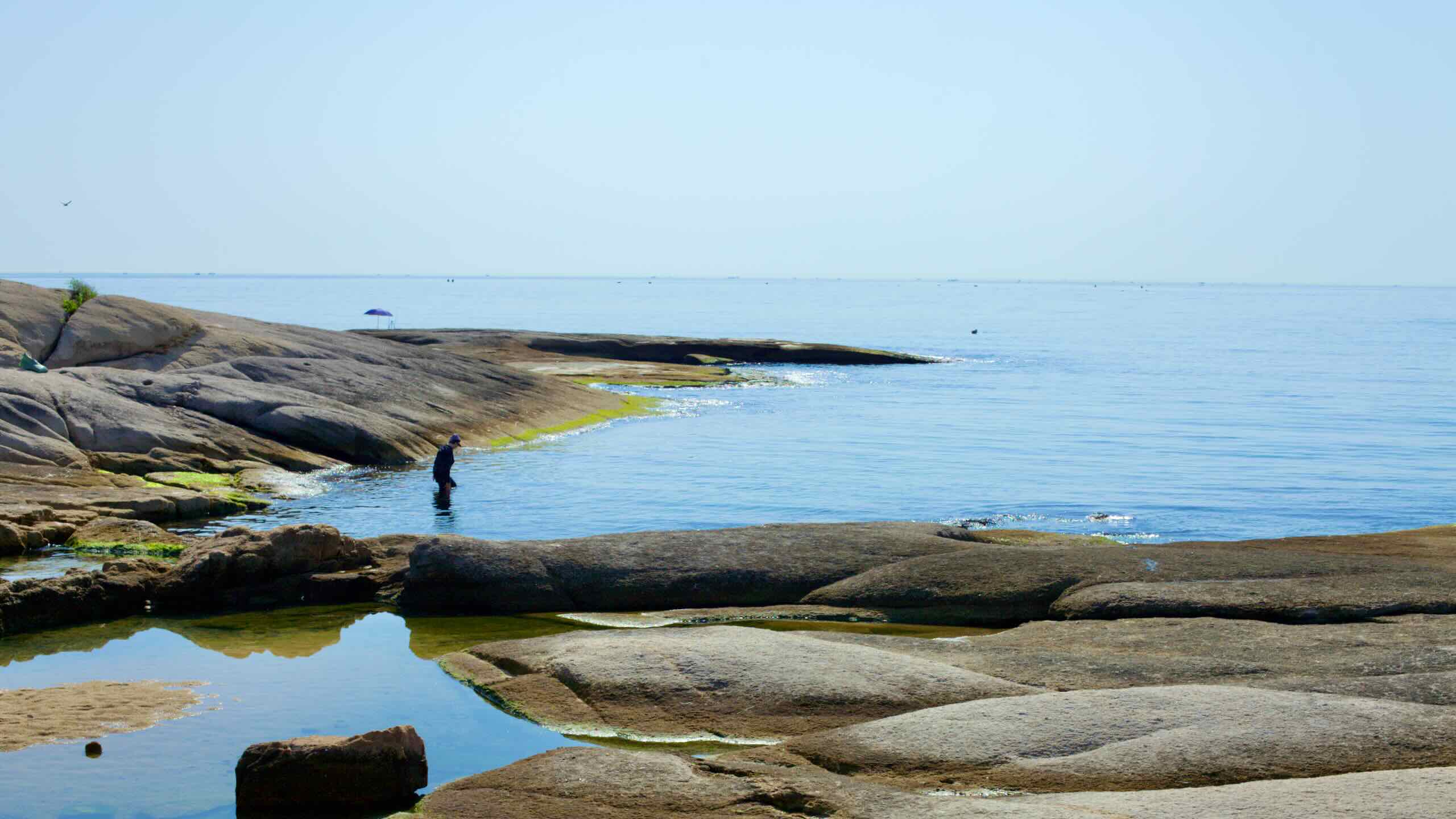
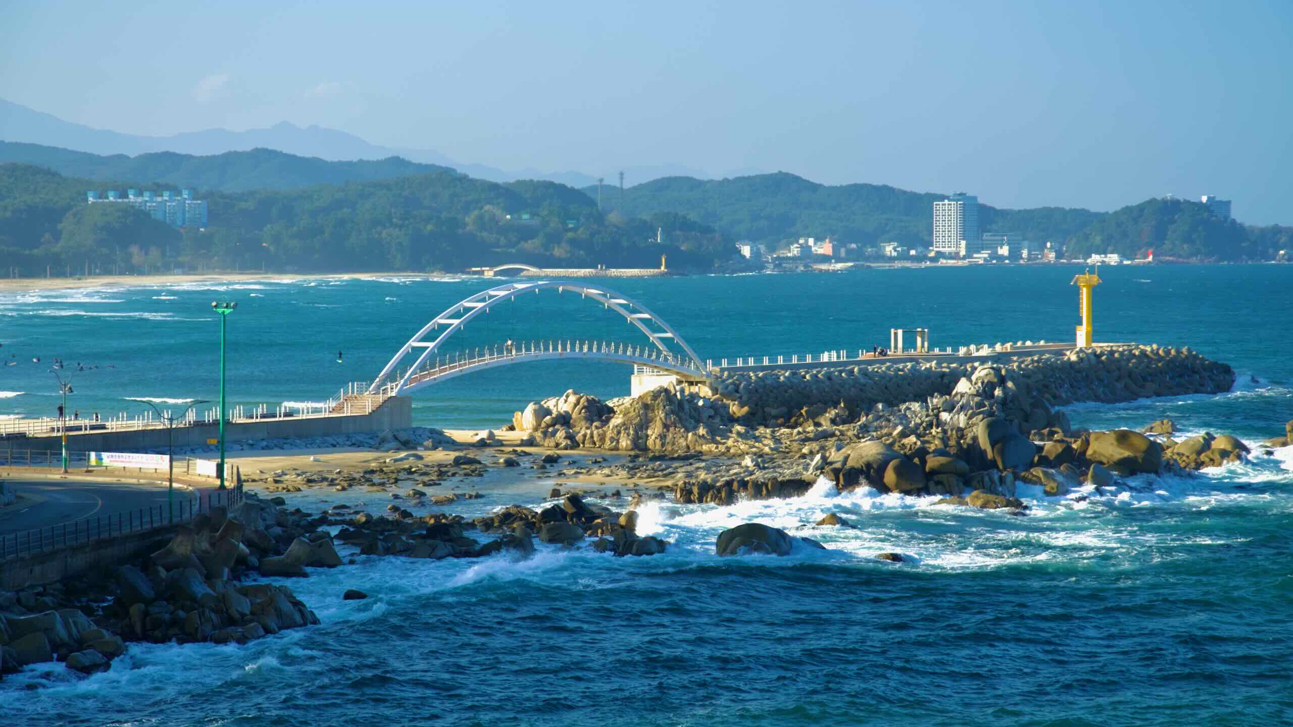
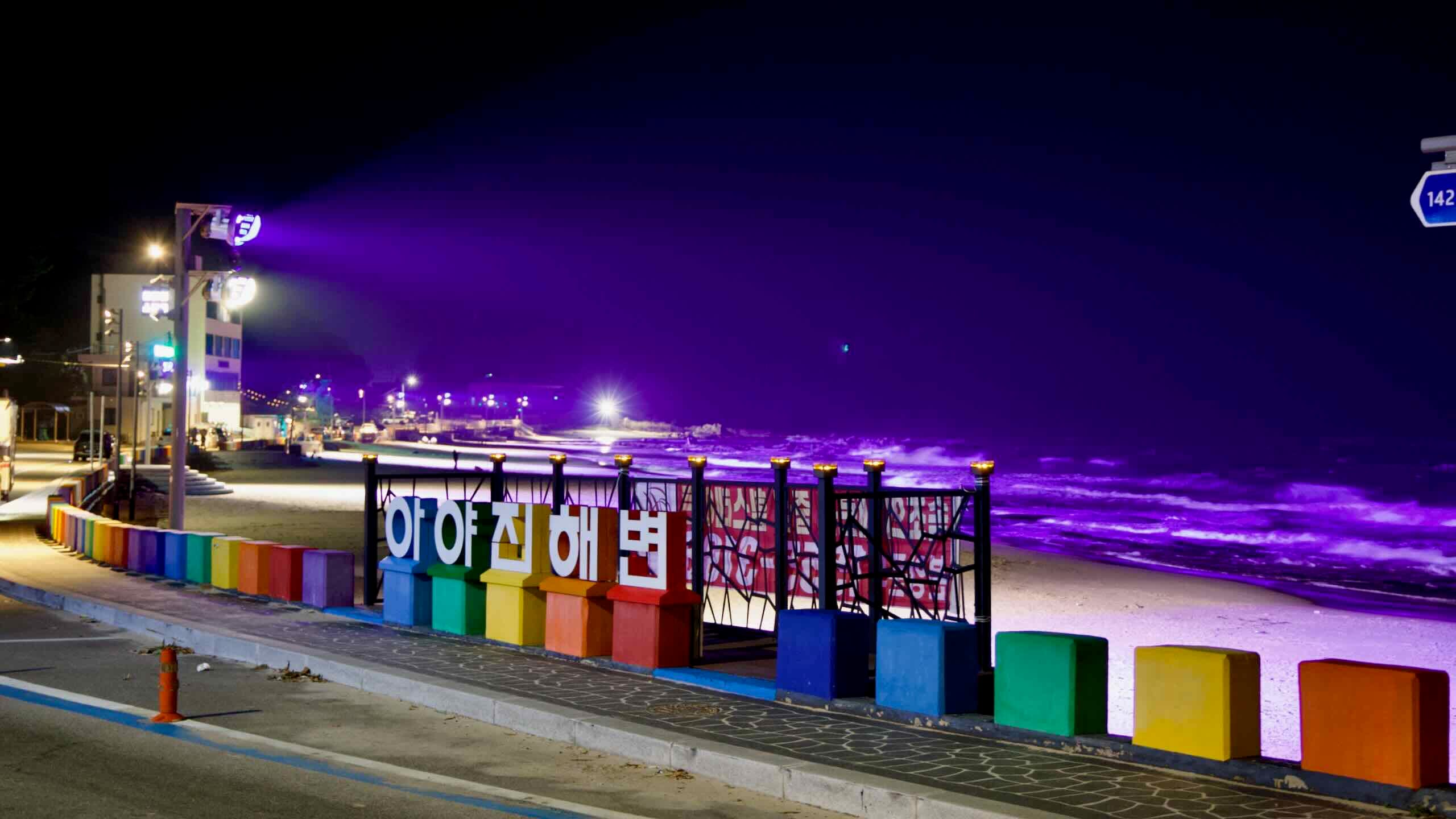
Cyclists can expect a mix of tranquil beaches, rocky outcrops, and bustling ports. Highlights include the serene Namae Port, the picturesque cliffs of Hajodae, and the bustling seafood markets of Sokcho City. Along the way, explore ancient temples, surfer-friendly beaches, and scenic coastal roads lined with pine forests.
This stretch blends natural beauty with cultural landmarks, making it a must-ride for cyclists seeking variety and charm.
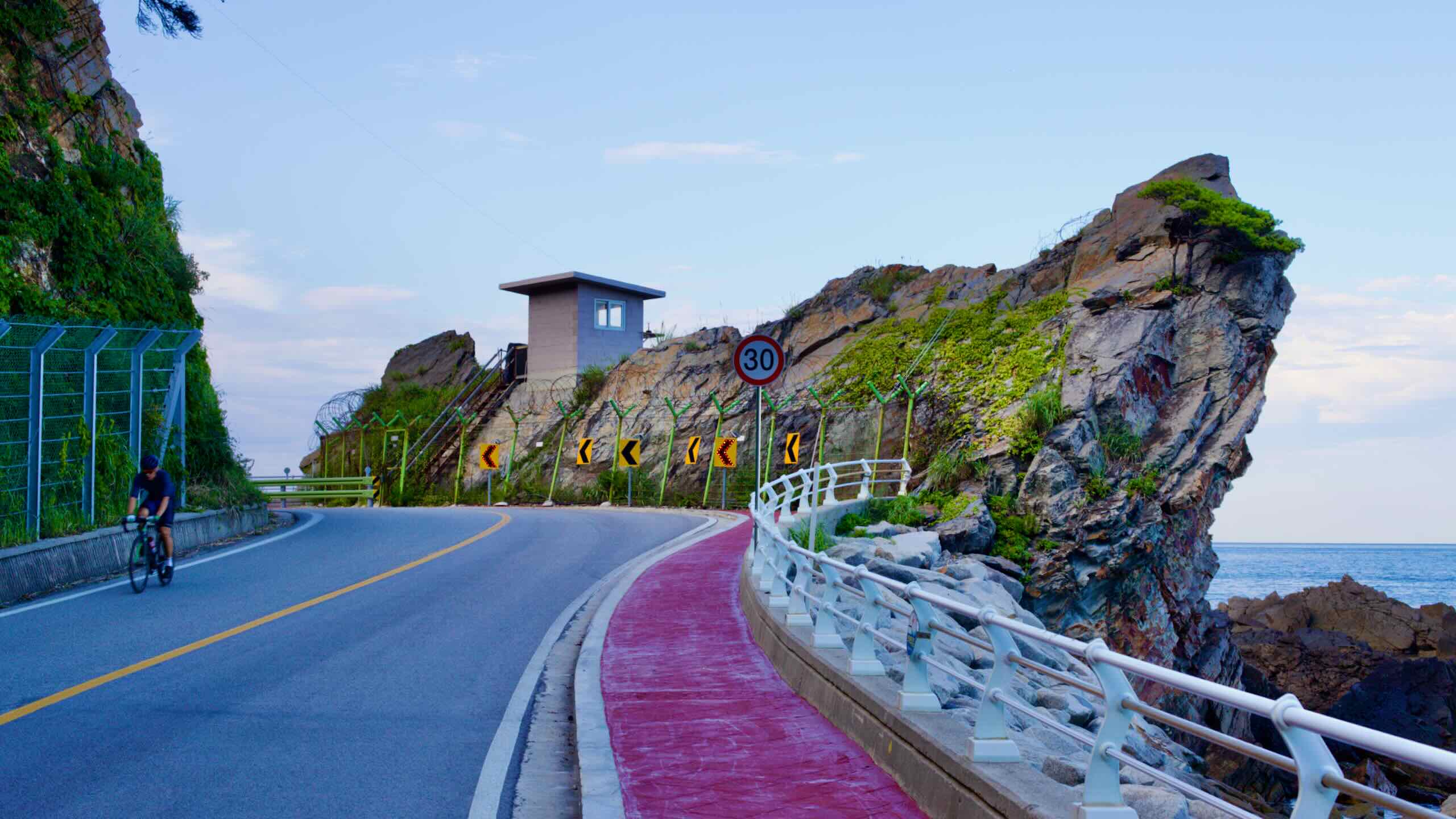
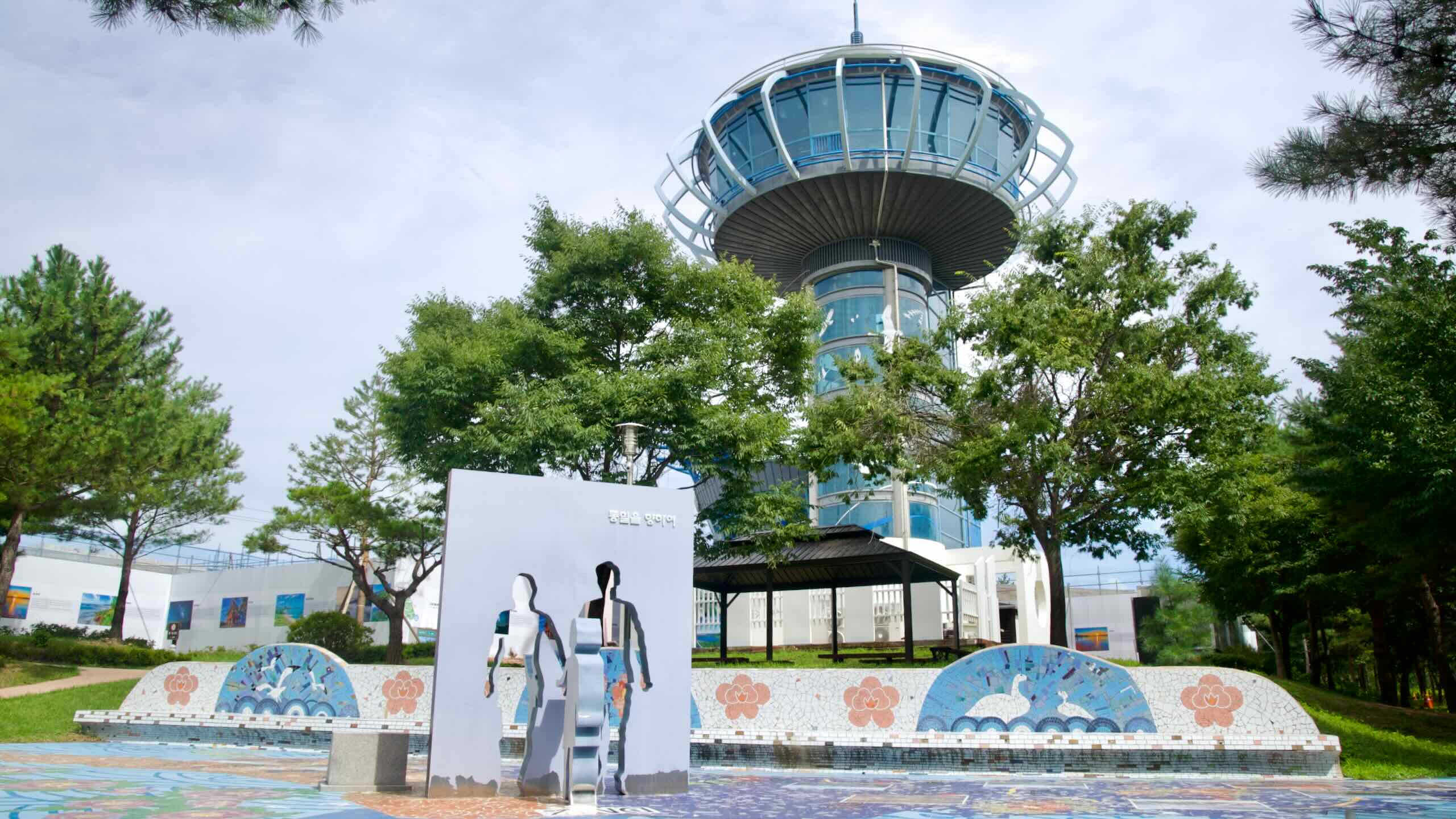
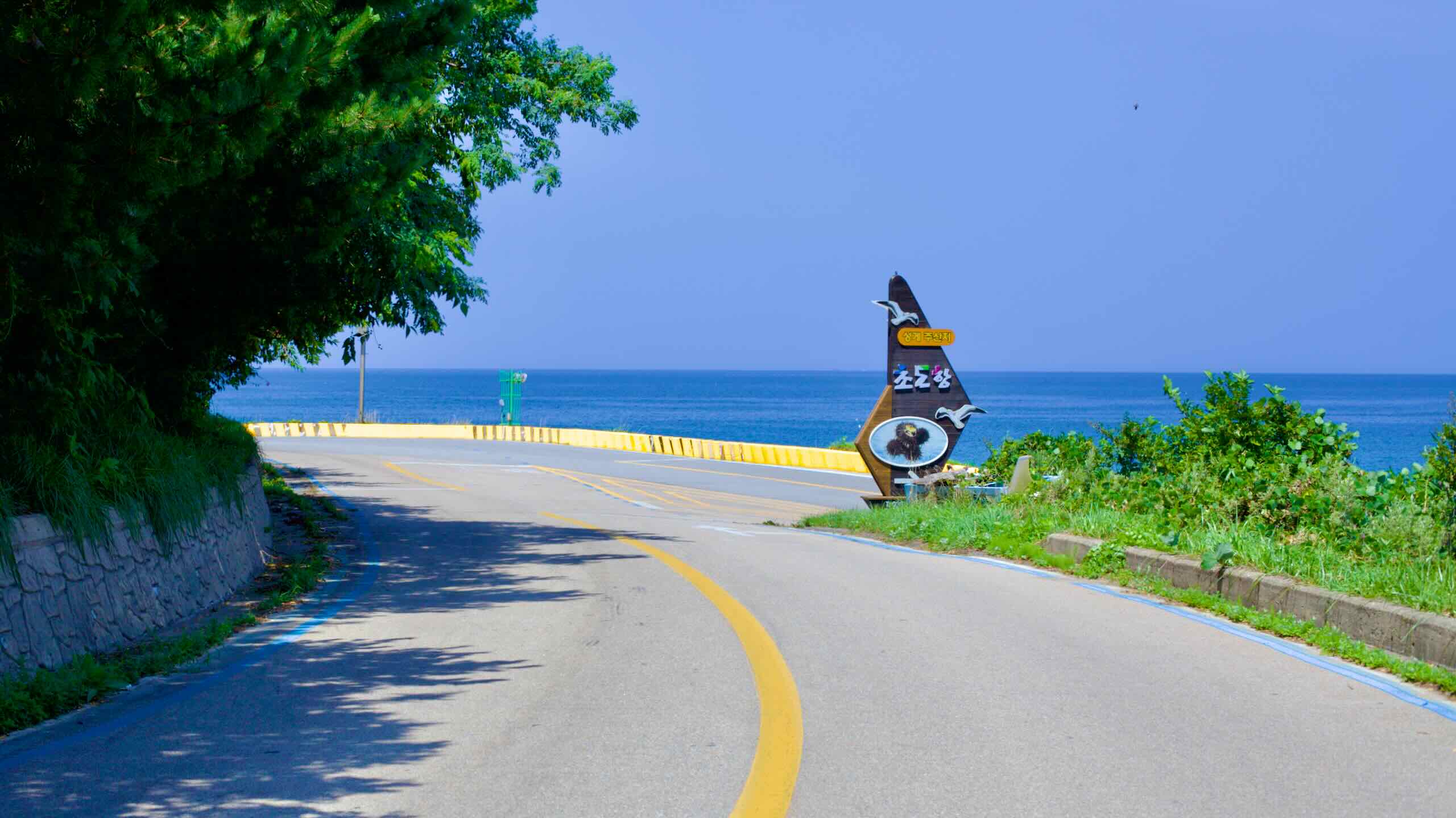
Complete your East Coast Route journey through Goseong County, the northernmost stretch of the Gangwon Bike Path, covering 46.5 kilometers from Jangsa Port to the Unification Observatory near the DMZ.
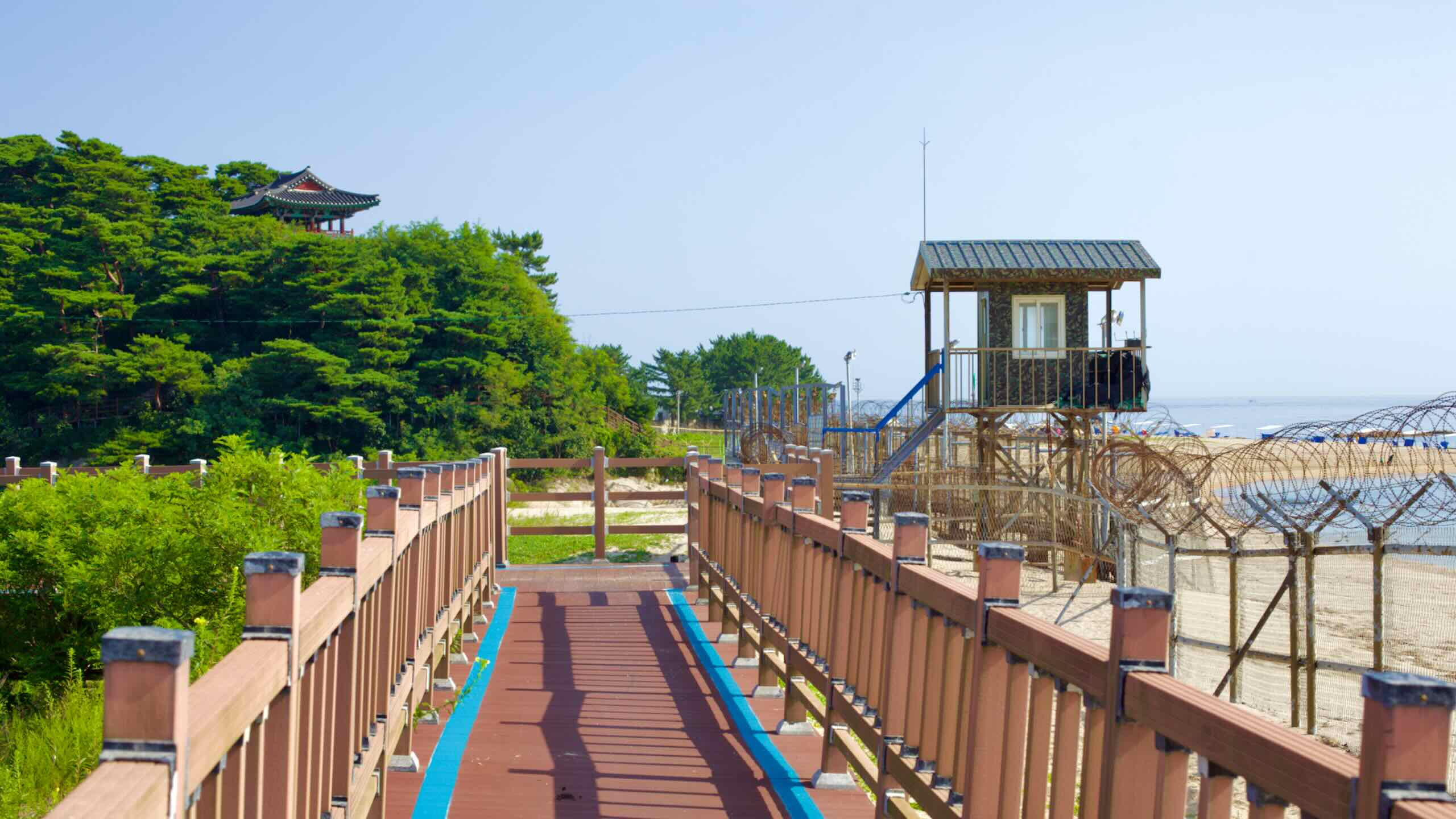
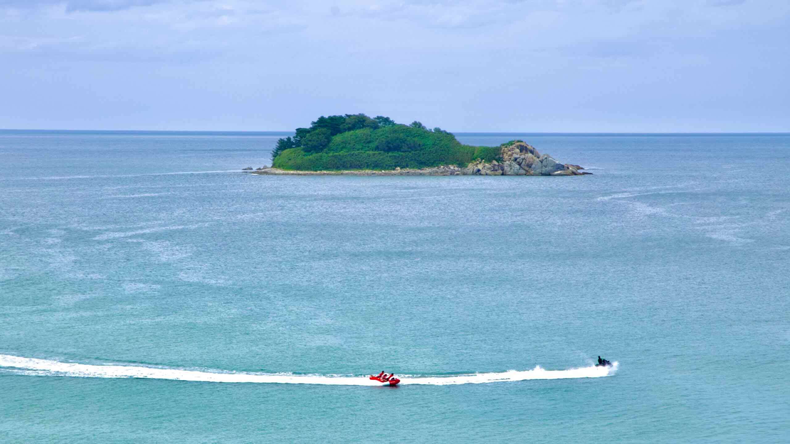
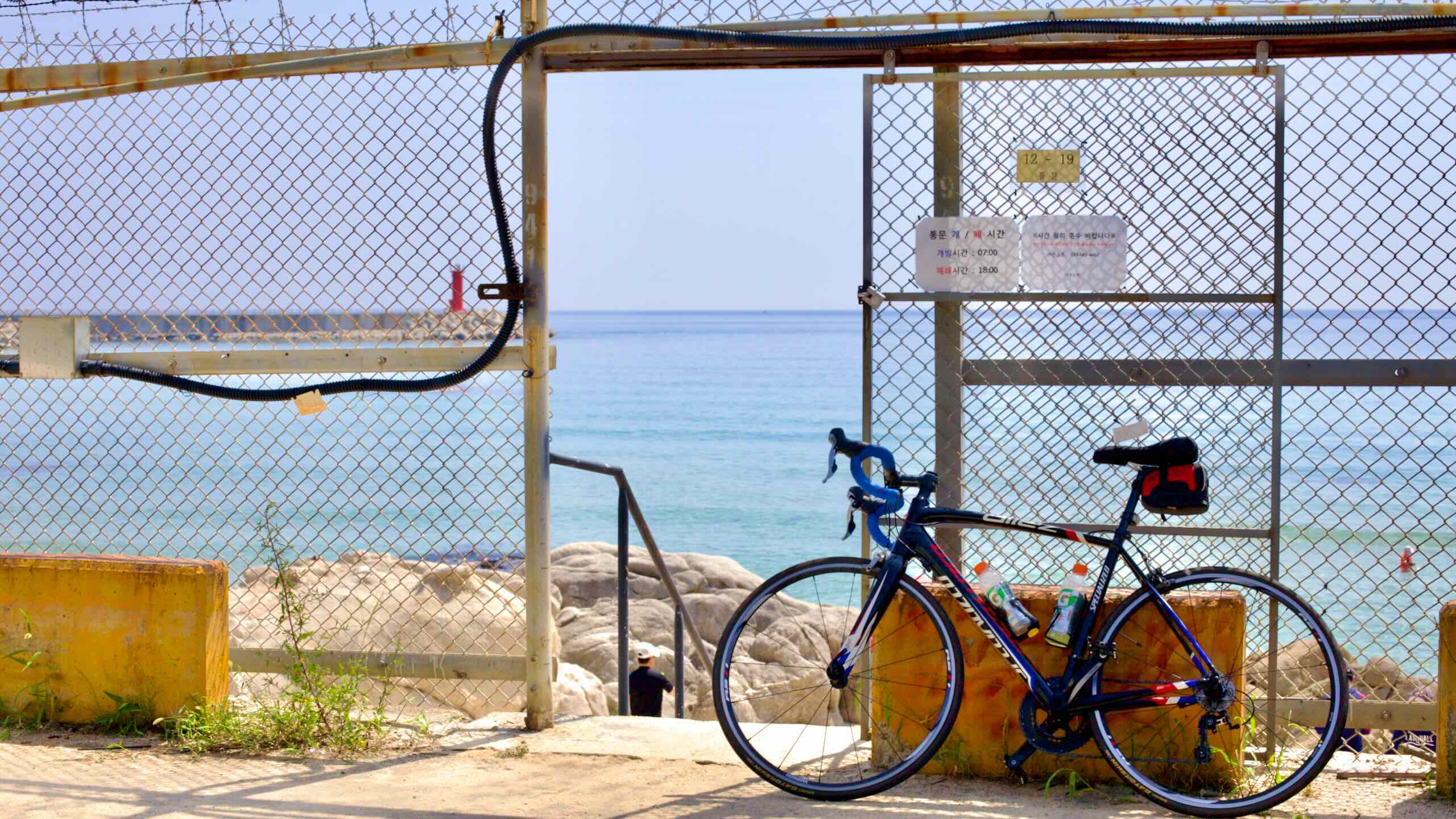
As you approach the DMZ, the path becomes quieter, passing military outposts and offering expansive views of the East Sea and rocky islands. The route concludes at the Unification Observatory Certification Center, marking the end of both the Gangwon Bike Path and the East Coast Route.
The Gangwon (East Coast) Bike Path crosses six cities and counties in Gangwon State. Read these short profiles of each.
Gangwon State (강원도; map), Korea’s second largest and one of two bordering North Korea, hosts the nation’s recreational retreats. With forests and powder blanketed mountains in the west, and an expansive coastline in the east, the province boasts two famous seaside cities. Oh, and it hosted the 2018 Winter Olympics in Pyeongchang.
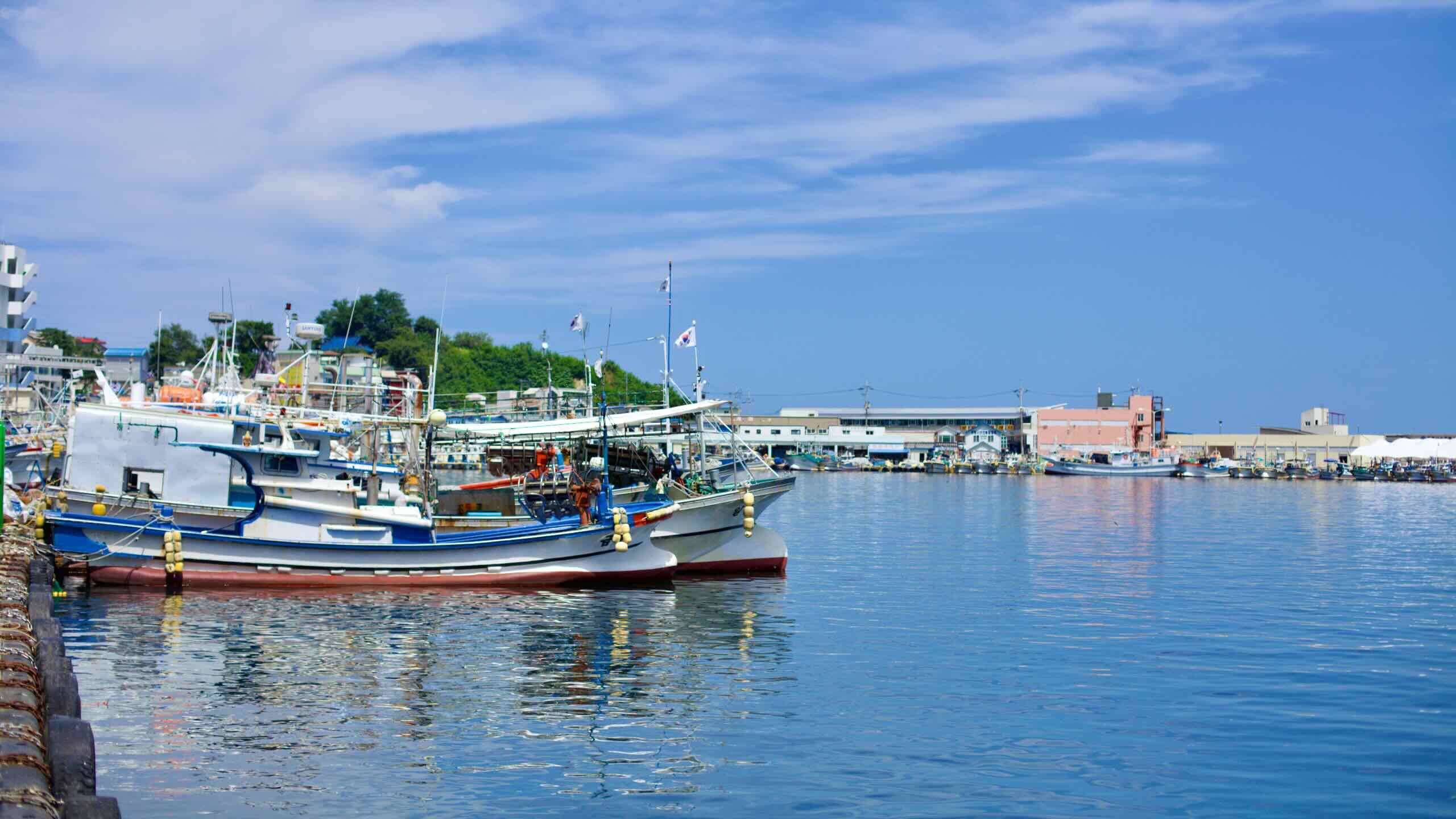
Samcheok City (삼척시; map), one of Korea’s least populated cities, lives on the East Sea near Donghae City. The city grew a reputation for its cement mining and spelunking because it sits on limestone bedrock. Its coast hosts a rail bike and cable car.
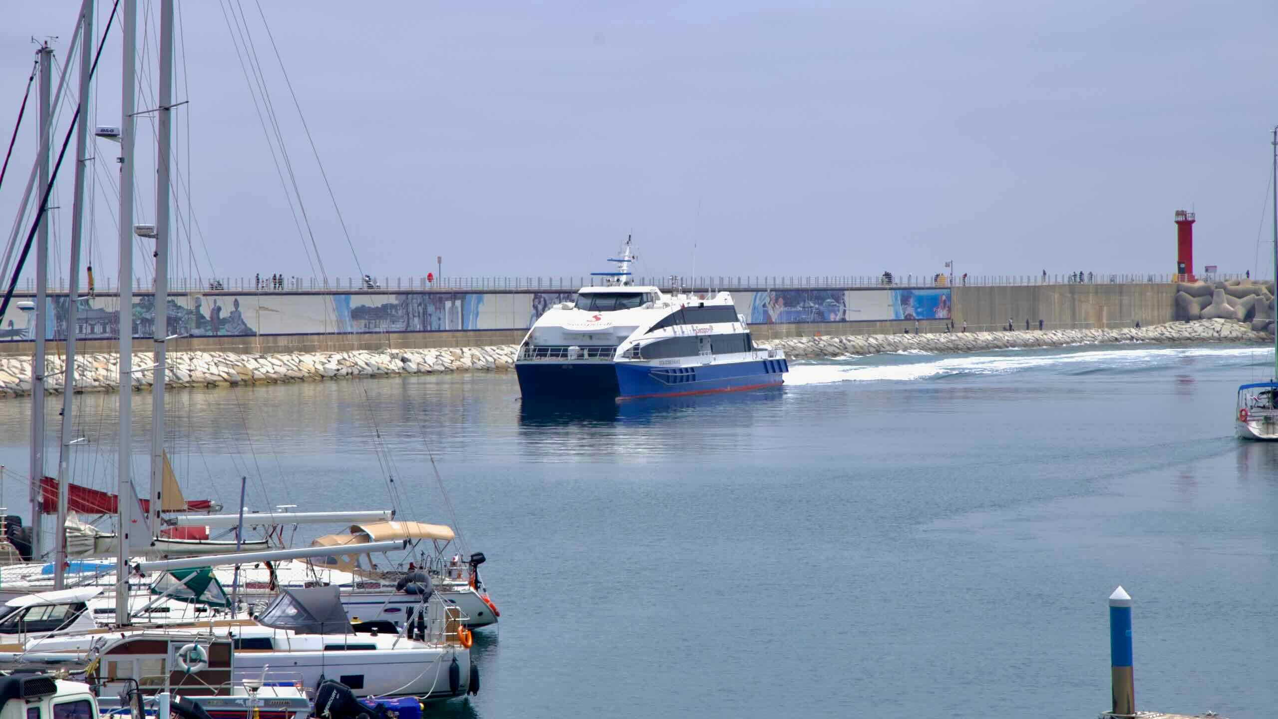
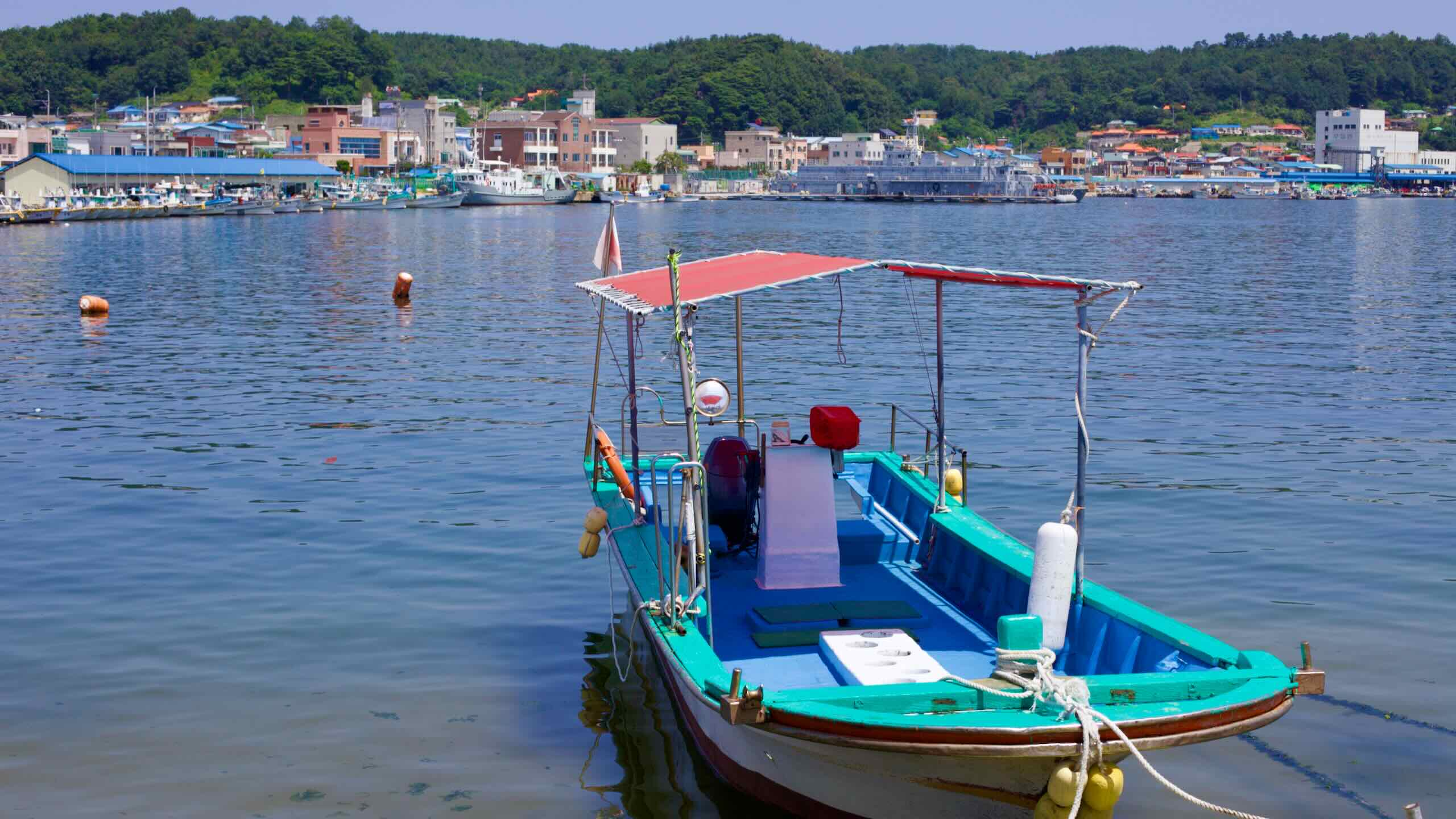
Donghae City (동해시; map) gets its name from its eastern neighbor: the East Sea (/dōng/, 동, “east”; /hāe/, 해, “sea”). One of Gangwon State’s larger cities, it operates two important east coast ports, which export iron and coal, keep key naval assets, and launch cruise ships to distant Ulleung Island.
Yangyang County (양양군; map) wedges between Gangneung and Sokcho. Because of its small population, it borrows education and firefighting services from them. However, the county holds a multitude of religious and vacation spots, including a private surfing beach.
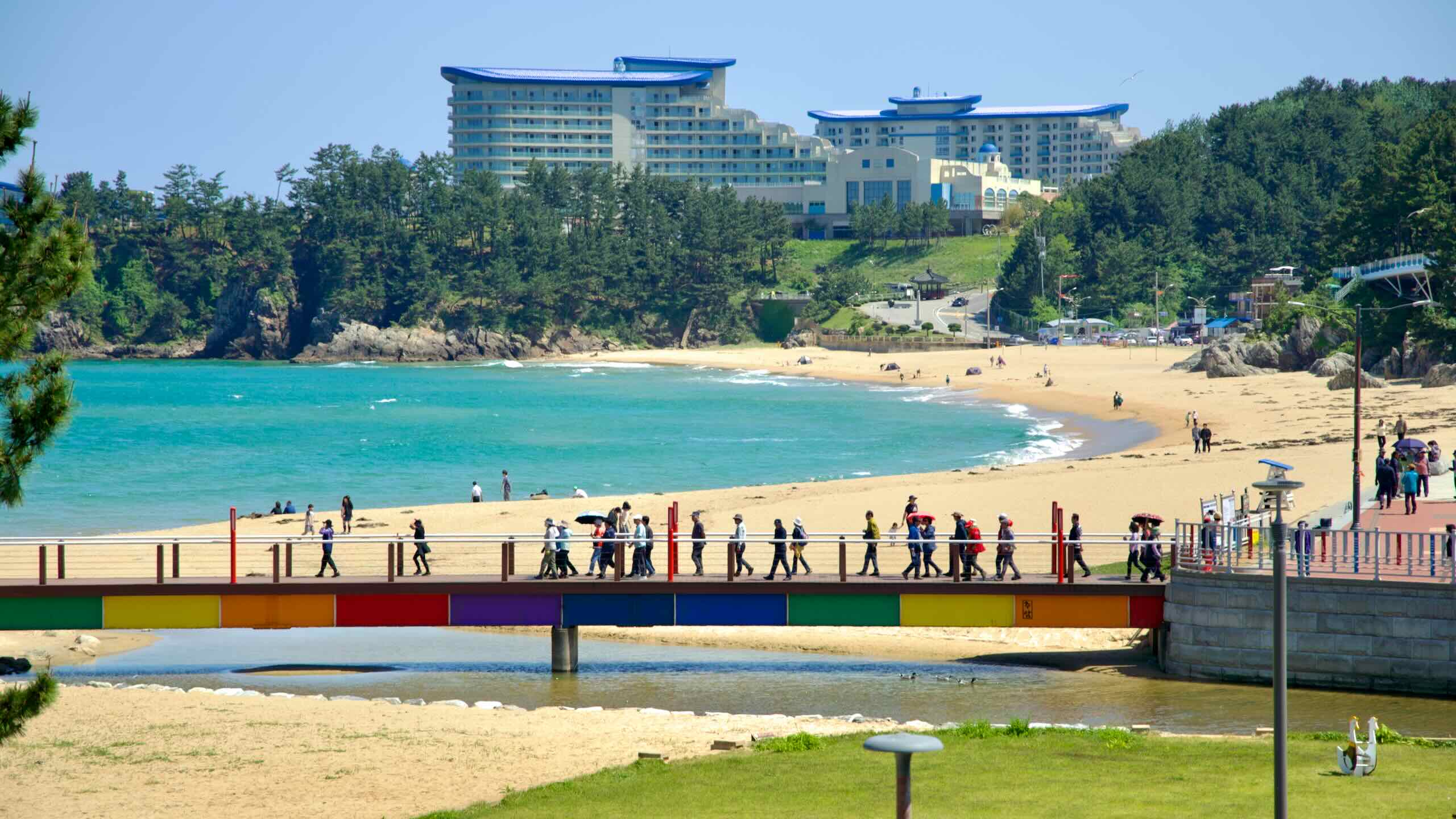
Sokcho City (속초시; map) is a famed east coast tourist town often mobbed by Seoulites. Tourist destinations include Seorak Mountain, the third tallest in South Korea, a pair of sea lakes with marinas, and golf and horseback riding facilities.
Goseong County (고성군; map) is South Korea’s most northeastern district, split in half by the Korean War and DMZ. Tourists visit seaside resorts and the Unification Observatory, which gazes into North Korea and Geumgang Mountain.
Elevation
The Gangwon Bike Path offers a variety of climbs that challenge cyclists across its 225 kilometers. While not as steep or frequent as Gyeongbuk’s hills, Gangwon’s ascents showcase diverse terrain and beautiful views, with gradients that test endurance without overwhelming.
Galyeongjae Pass
Separating the Gyeongbuk and Gangwon Bike Paths, Galyeongjae Pass (갈령재; map) is a forested climb with sharp turns and shaded stretches.
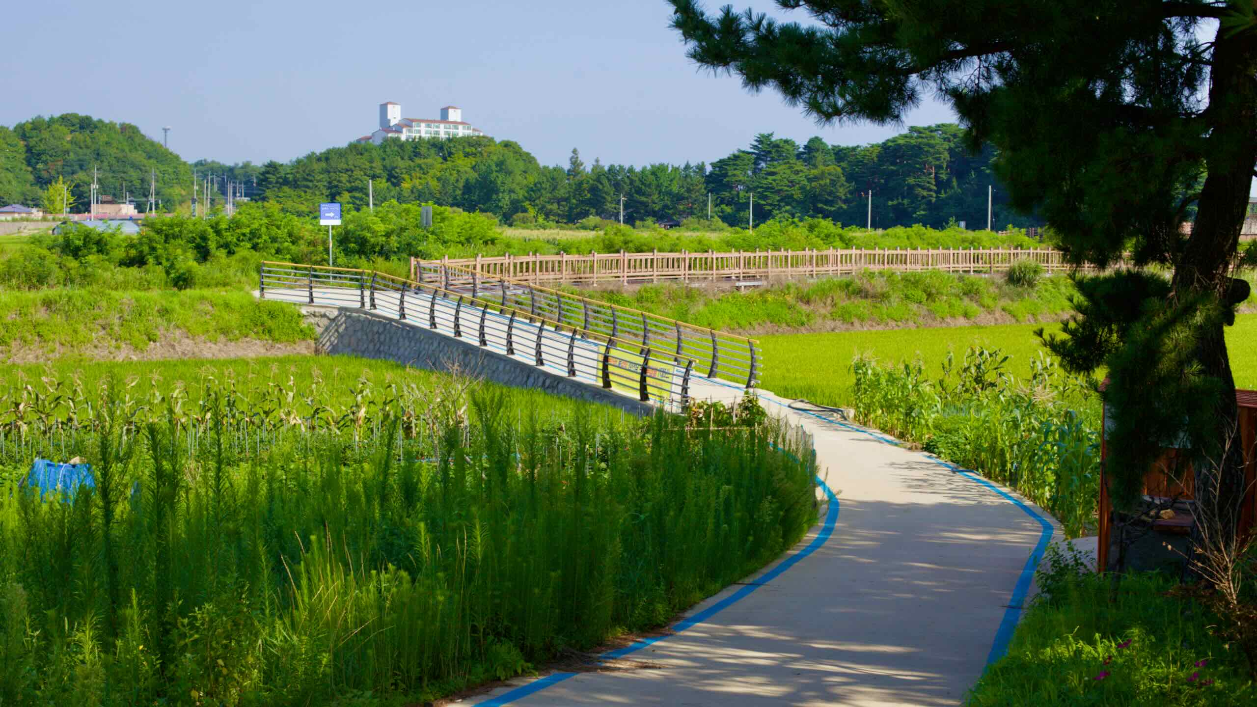
The Gangwon Bike Path blends a mix of cycling terrains, from coastal roads and protected shoulders to bustling towns and rural stretches. Its layout ensures a scenic ride with varying challenges for cyclists of all skill levels.
The Gangwon Bike Path features twelve certification centers throughout its 225-kilometer route. Collect stamps from all twelve centers to receive the Gangwon Bike Path certification.
This certification also counts toward the prestigious Grand Slam, awarded for completing multiple certified routes across Korea. (Note: There is no separate East Coast certification.)
The Gangwon Bike Path follows Korea’s stunning east coast through Samcheok, Donghae, Gangneung, Yangyang, Sokcho, and Goseong. Along its 225 kilometers, cyclists encounter a mix of tranquil beaches, dramatic cliffs, and cultural landmarks.
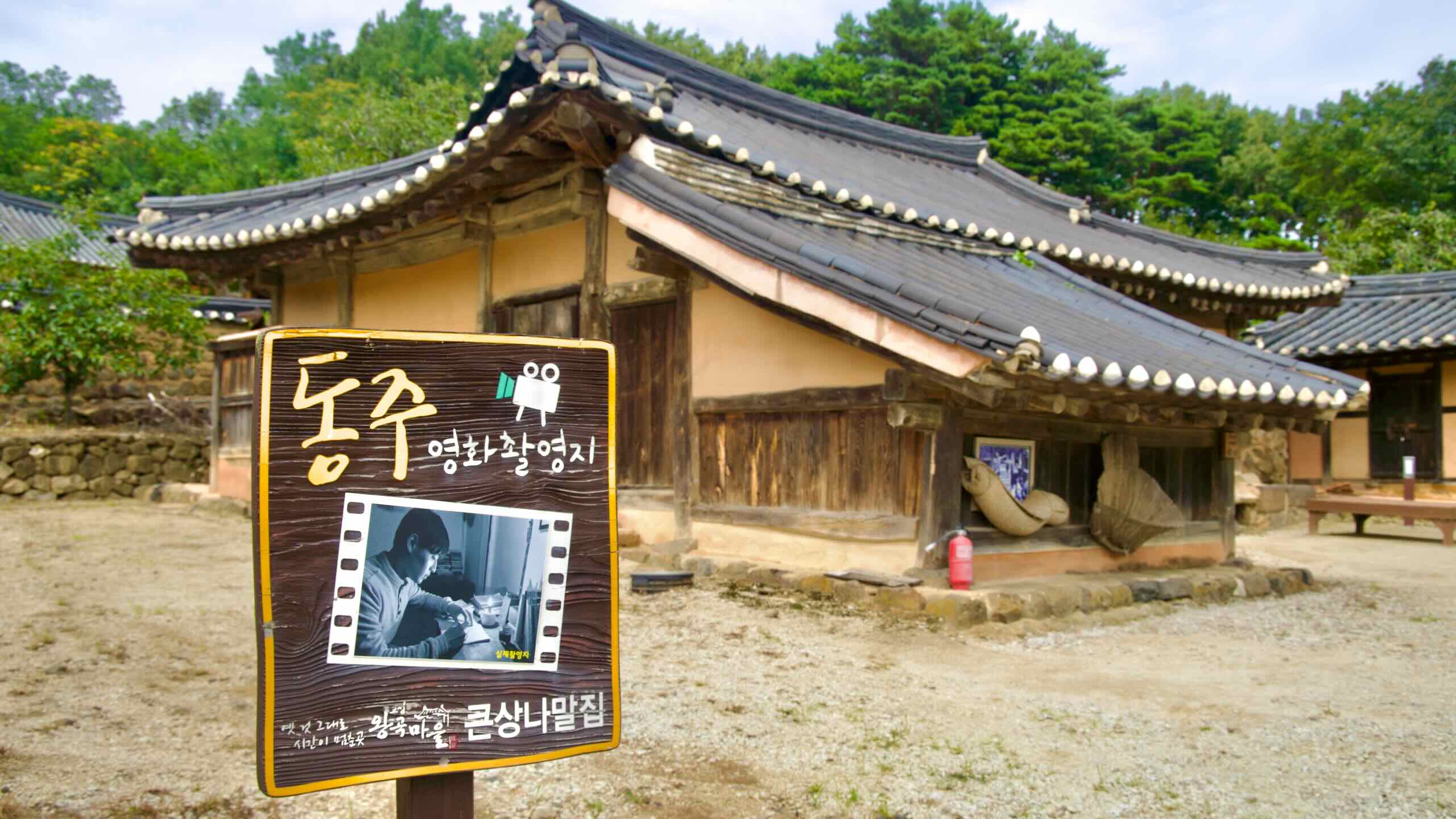
From historic hanok villages to vibrant seafood markets, and from serene coastal lagoons to sweeping views into North Korea at the DMZ, the route delivers endless reasons to explore.
The Lady Suro sculpture with a path leading to it, and the East Sea in the background.
Lady Suro Memorial Park (map) rests on top of Namhwa Mountain over beside Imwon Port (map) near the bottom of Samcheok City. The park features a colossal statue of Lady Suro, a legend important to the city from in the ancient Korean chronicle “Samguk Yusa,” written in the 13th century.
A view of a shrine dedicated to the lost maiden at Haesindang Park.
Haesindang Park (map) covers a seaside mountain above Sinnam Port (map) near the bottom of Samcheok City. The park, also known as “Penis Park,” features hundreds of phallic sculptures. Rooted in local folklore, these sculptures take many forms—from carved totem poles to 2-meter-tall marble sculptures with zodiac figures tucked inside.
Reaching the Gangwon Bike Path involves navigating to coastal cities and resort towns along Gangwon State’s shore. While local trains don’t accept bikes, intercity buses provide reliable transport options for cyclists.
Without a car, intercity buses are the primary way to access the Gangwon Bike Path with your bike. Major terminals in Gangwon’s coastal cities connect to smaller stops near the southern and northern endpoints. Plan for a transfer if you’re starting at either end of the path.
Southern Endpoint
The Gangwon Bike Path begins at Gopo Port (고포항; map) in southern Samcheok City. However, no certification center marks this starting point. Nearby intercity bus stops include:
Hosan Bus Stop: 4.4 kilometers from Gopo Port, offering the shortest and most direct access.
Bugu Bus Terminal: 5.9 kilometers south of the start, requiring a steep 104-meter climb.
Imwon Bus Terminal: 13.3 kilometers north of the start, suitable for cyclists skipping the first 13 kilometers of the path.
The Gangwon Bike Path traverses the coastline of Gangwon State (강원특별자치도; map), a picturesque stretch framed by the Taebaek Mountains to the west and the East Sea to the east. This northeastern province, the largest in South Korea, boasts a unique blend of rugged mountains, vibrant coastal cities, and tranquil fishing villages.
Historically part of Korea’s Eight Provinces during the Joseon Dynasty, Gangwon State played a pivotal role in the nation’s cultural and economic development. Today, its coast draws visitors for its pristine beaches, bustling seafood markets, and scenic maritime landscapes.
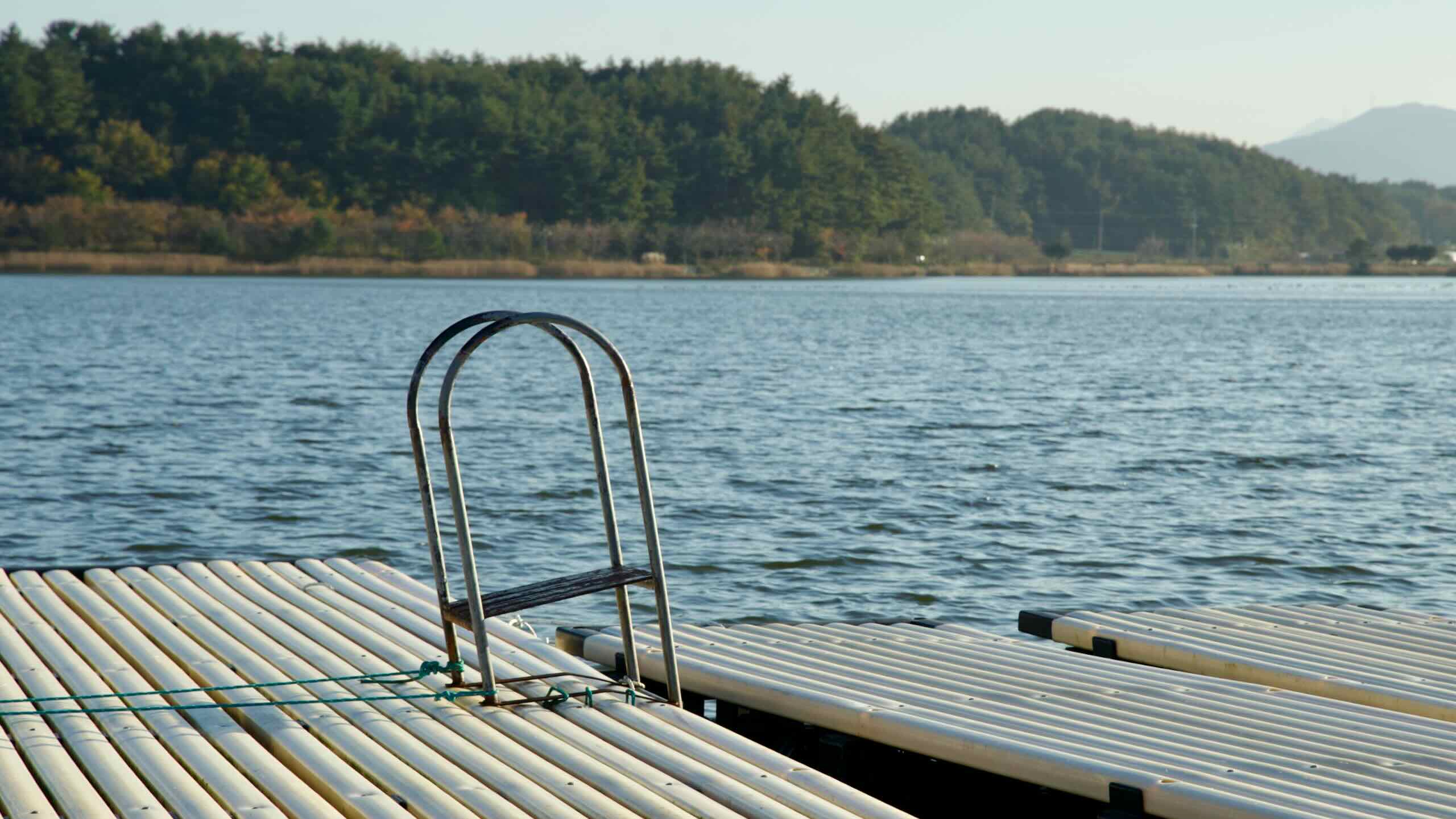
The East Sea (Donghae; 동해; map), also known as the Sea of Japan, forms the eastern border of Gangwon State.
It is the deepest of the three bodies of water surrounding the Korean Peninsula.
The high oxygen content supports diverse marine ecosystems.
This sea plays a vital role in the local economy, supporting vibrant fishing industries and tourism along the coast.
Gangwon State’s coastline offers a seamless blend of history, culture, and natural beauty, making it a must-visit destination for cyclists and travelers alike.