Beginning at Mangsang Beach, cycle along a picturesque road marked by wave-carved boulders. Then climb steep switchbacks and stumble upon Jeongdongjin, an ancient ritual site turned into a tourist hotspot.
Pop onto a guardrail-protected bike lane on National Route 7 (road view). The curving Dojik Bridge (도직교; map), which shoots over the bordering Yeongdong Rail Line, marks the north end of Mangsang Beach. Stop and turn back to get an expansive view of the coast.
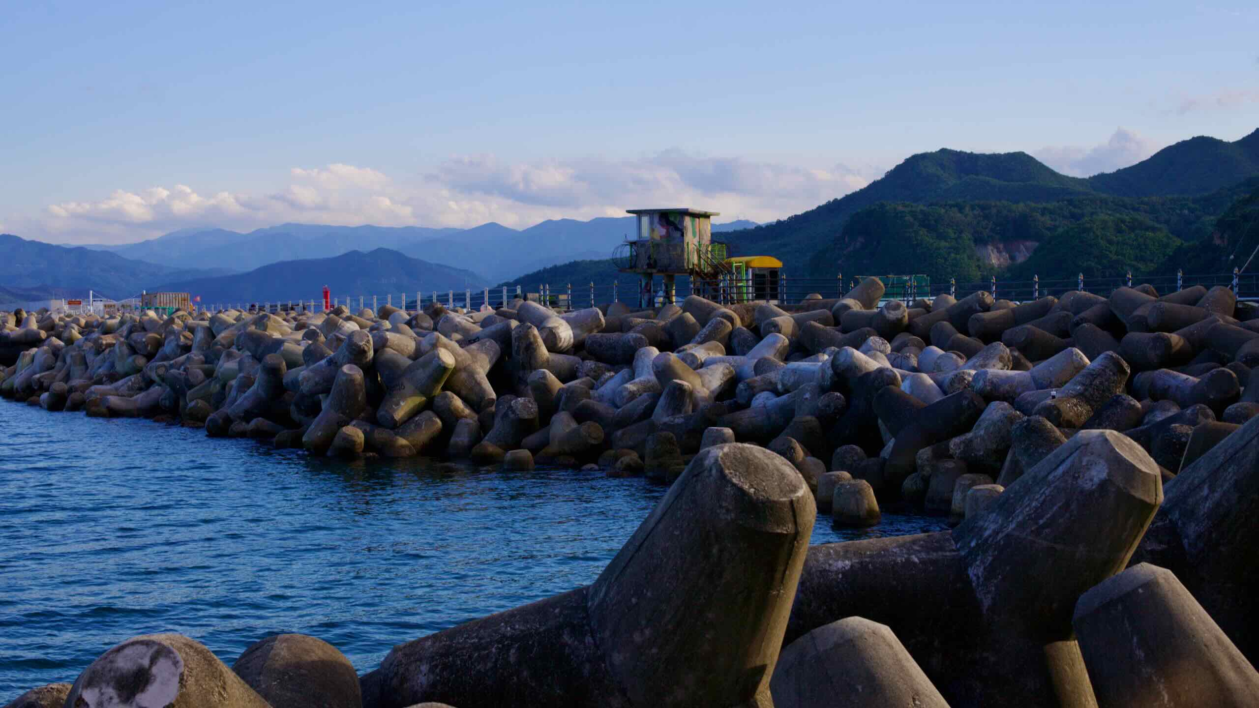
Cycle down Dojik Bridge under towering industrial silos. They mark the closest you’ll come to Okgye Port (옥계항; map), inaccessible to the public because of the sprawling Okgye Industrial Complex (강릉 옥계산업단지가; map), Gangwon State‘s largest producer of cement, which blankets the harbor’s breakwaters and interior.
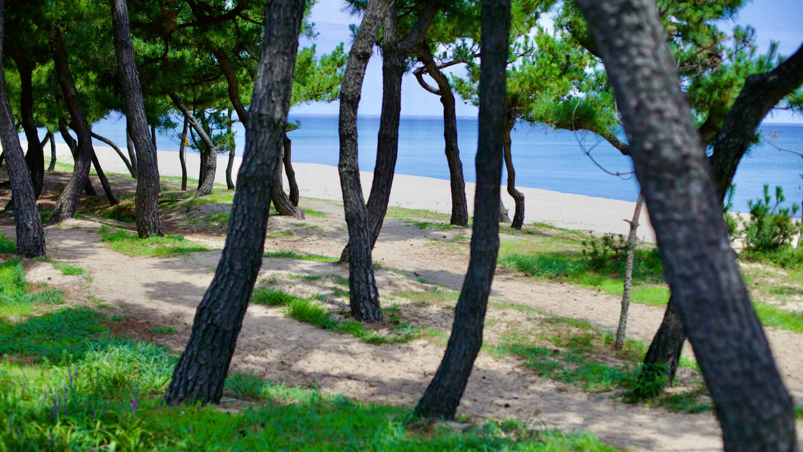
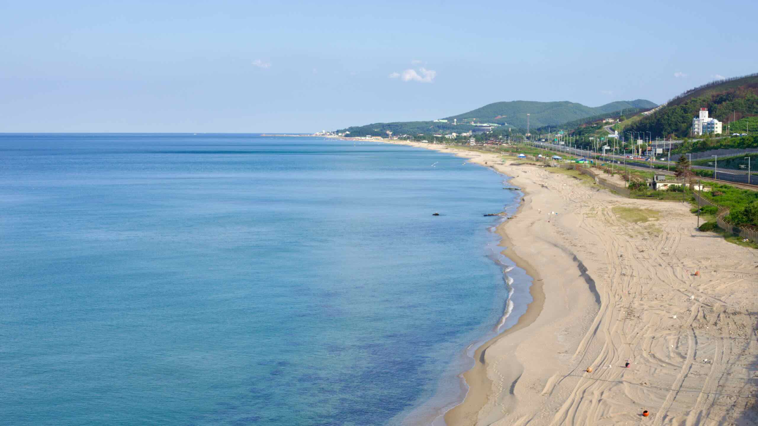
Hop over Oke Stream Grand Bridge (옥천대교; map; road view) and turn into the dense pine forest that hides Okgye Beach Campground (옥계해수욕장 야영장; map). Just beyond, find Okgye Beach (옥계해변; map), which receives fresh water from Seokbyeong Mountain (석병산; map) streams, giving it clearer and warmer waters.
Geumjin Beach & Port
Exit Okgye Beach’s pine forest and veer close to the shore to meet Geumjin Beach (금진해변; map). This cozy, 900-meter-long beach holds a boatload of charm. Besides its sandy shores, you’ll find a parade of surf shops (map) and eateries (map), like the Red Car Cafe (빨차카페; map). This cafe began as a “red car” food truck but now has a permanent seaside home, selling coffee and homemade burgers right on the beach.
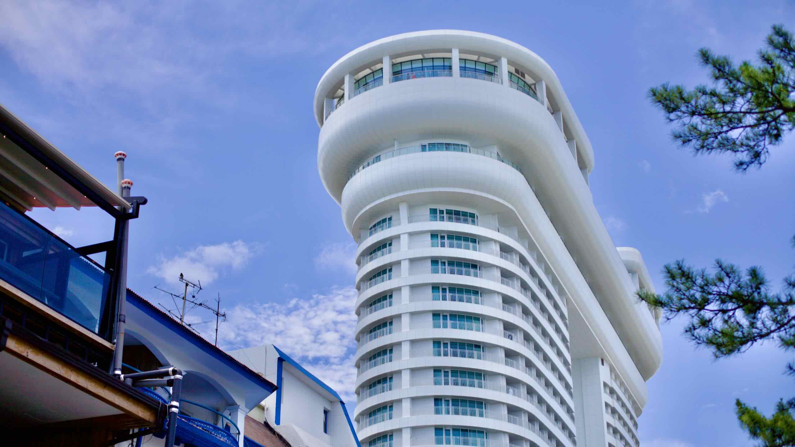
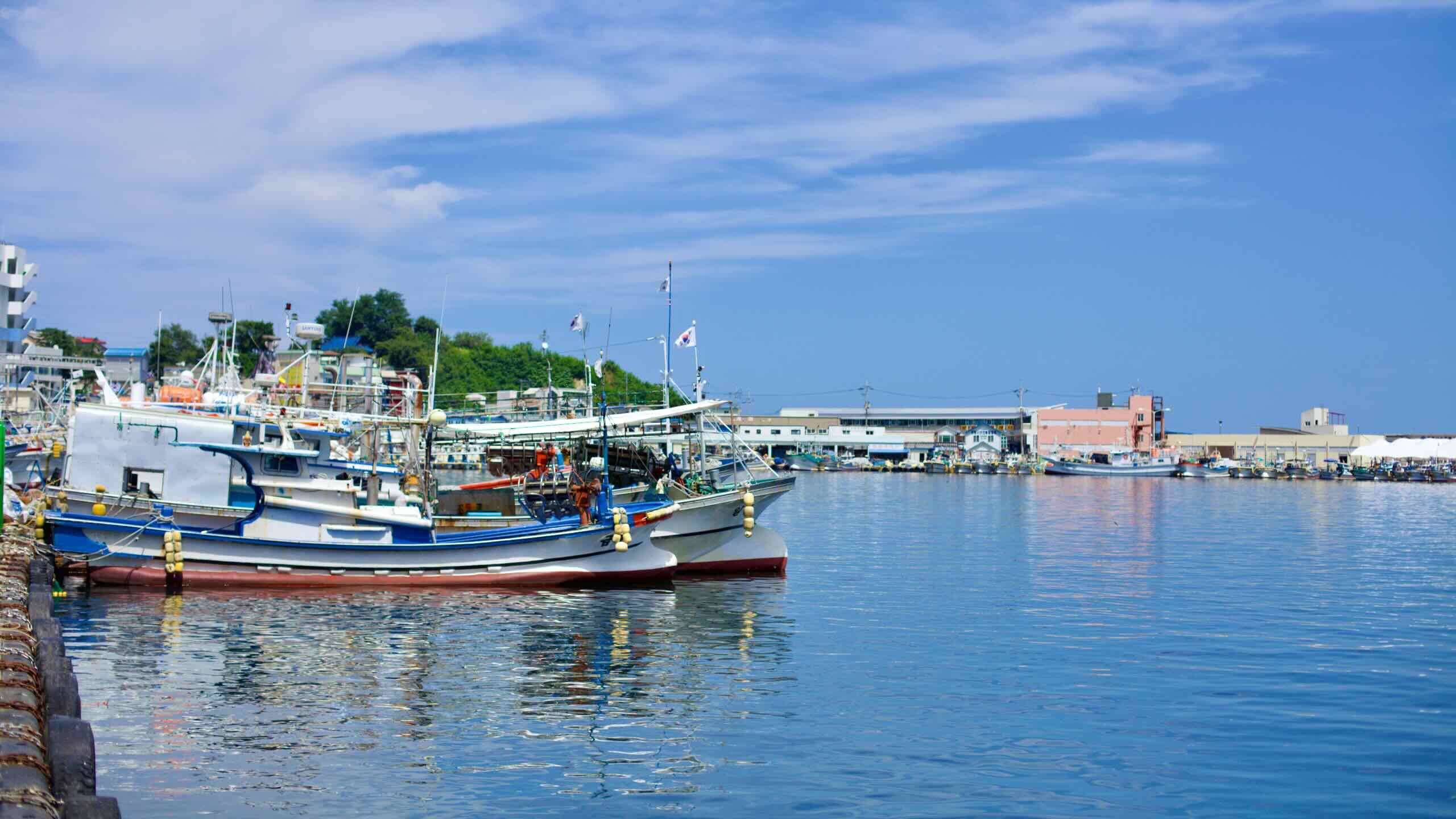
Ride on from Geumjin Beach down a roadway that hugs a coastal hill near boulder-specked waters. Standing like a blue glass box on a bluff is the swanky Tops 10 Hotel & Resort (호텔탑스텐; map). Just below the resort rests Geumjin Port (금진항; map), a small fishing port that has kept the same appearance for decades.
Locals know Geumjin Port for its collection of seafood restaurants, like Hanggu Macha (항구마차; map), famous for its snow crab, raw flounder salad, and kalguksu (noodle soup) served with Gangwon State’s famous soybean sauce. Although it’s a quaint food stall, Hanggu Macha’s tables are always packed with customers.
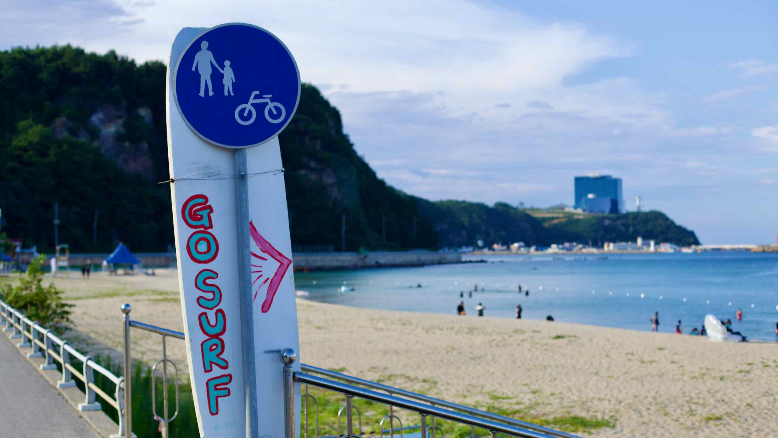
As you might have noticed, the two-lane seaside road you’re cycling on is notably more picturesque. This is because, ever since Geumjin Beach, you’ve been traveling on Heonhwa Road, part of a cluster of highlights along the Gangwon Bike Path, including:
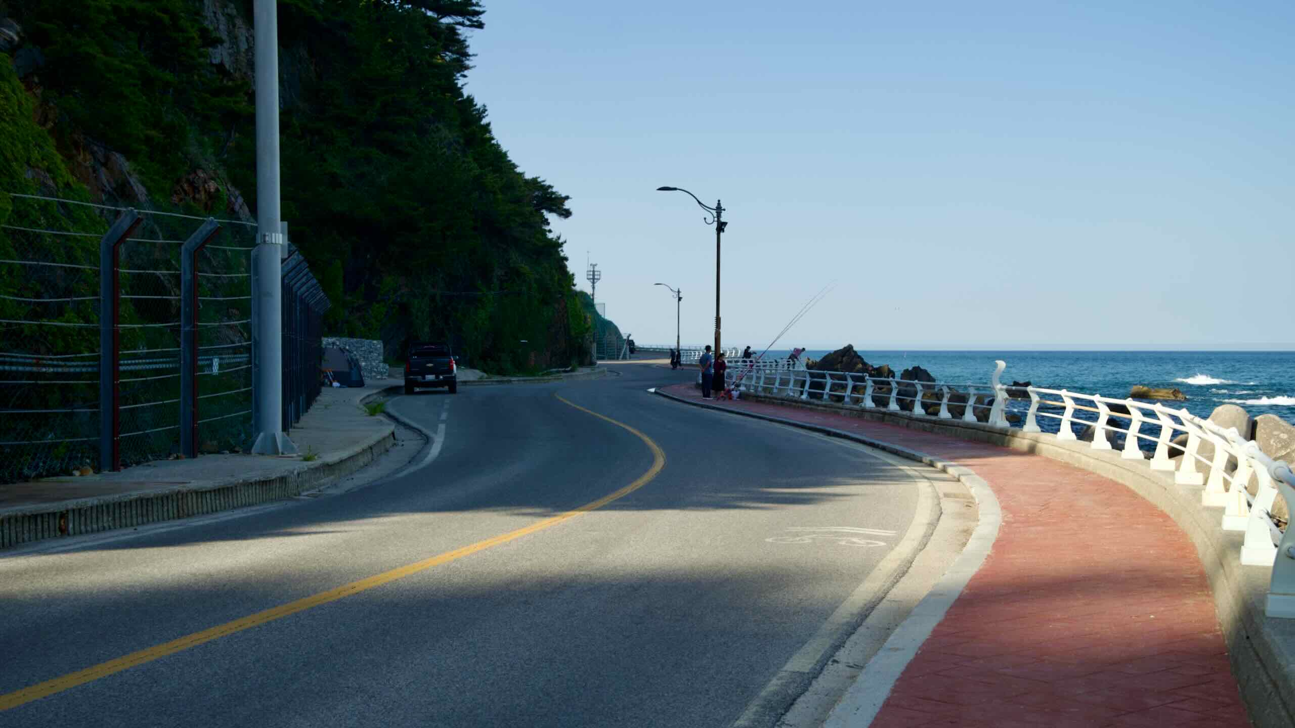
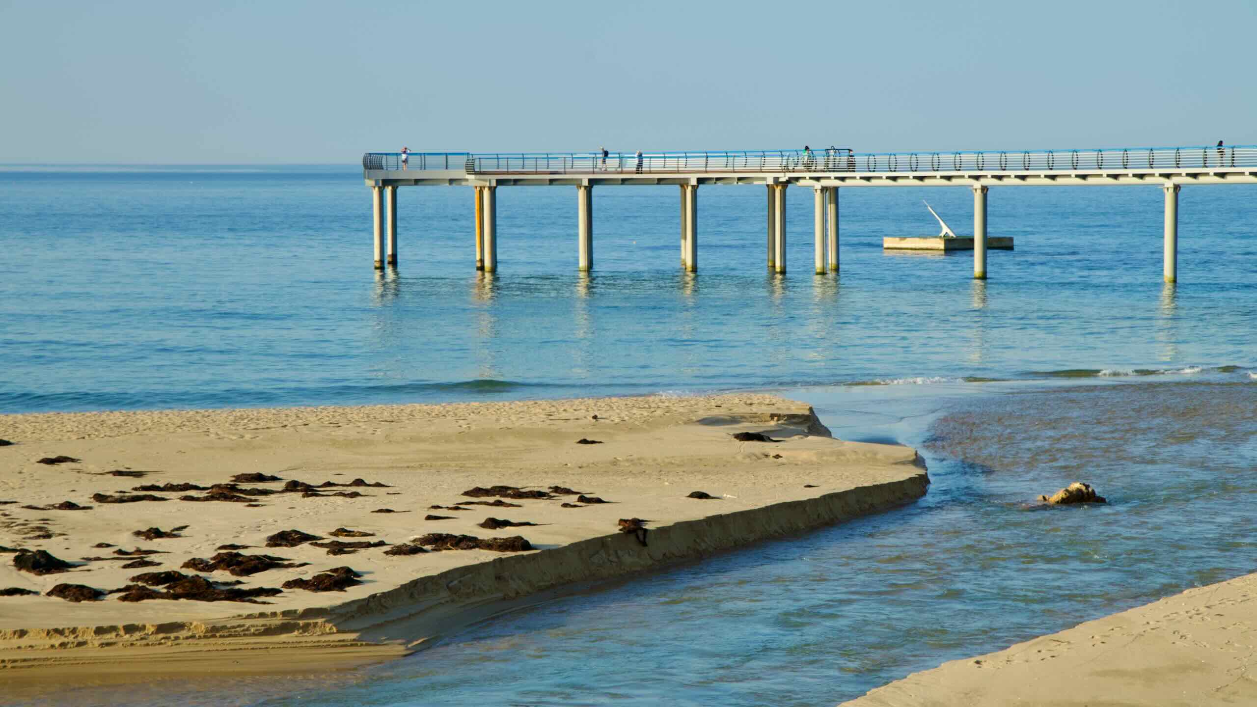
Heonhwa Road (헌화로; map) begins at Geumjin Beach and stretches 4 kilometers past Simgok Port until it reaches Jeongdongjin (directions). Boasting one of the most picturesque seascapes in the country, it is often referred to as the closest road to the sea in Korea, offering unobstructed views of rocky coastlines and East Sea waves.
The name “Heonhwa Road” was inspired by a legend from the Samguk Yusa, a collection of Korean folklore. According to the story, Soongjeonggong, a royal official during the Silla Dynasty (668-935 CE), and his wife Surobuin, rested on the Gangwon coast. Surobuin spotted an azalea atop a high cliff and desired it, but no one dared to pluck it until an elderly man scaled the cliff and brought it back to her, singing a song called “Heonhwa.” Hence the name “Heonhwa Road.”
Simgok Port (심곡항; map) sits near the end of Heonhwa Road. Famed for its remote setting — its name literally translates to “deep valley” — some say the harbor was so isolated that its inhabitants were unaware that the Korean War was raging around them.
Maeuntang (매운탕), or spicy fish stew, is a local specialty. During colder months, when snow tops the hillsides and the cobalt waters disappear over the frigid horizon, the stew’s savory blend warms bellies. Many Simgok Port restaurants are also known for their hammerhead shark maeuntang, which fishers catch year round.
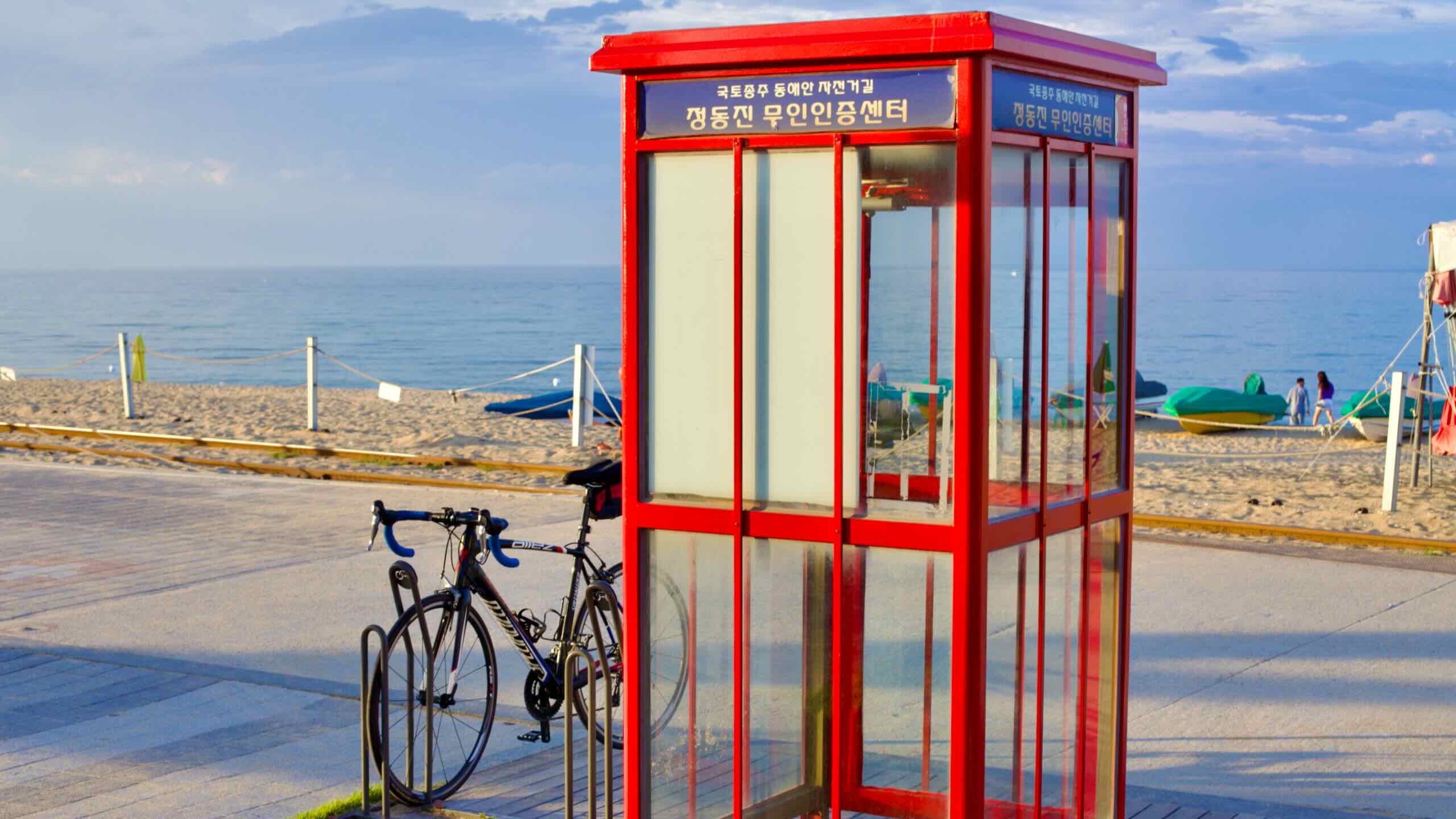
Tucked in the northeastern corner of Simgok Port, you’ll find the southern entrance to Jeongdong Simgok Sea Fan Road (map). This walking trail (no bikes allowed) stretches 2.86 kilometers between Jeongdongjin to Simgok Port.
The road is named “Sea Fan Road” because, from above, it resembles a traditional folding hand fan as it traces a curved, uninhabited terrace along Korea’s east coast.
Some say Sea Fan Road’s walking course is a giant “photo zone,” with raised walkways meandering under towering, bare-faced cliffs and over uniquely shaped rocks that jut out from the sea below. It takes about 70 minutes to complete, with lookout platforms offering a chance to rest and gaze out at the sea and rocks below.
Open from 9:00 AM to 5:30 PM (4:30 PM in winter), and costing ₩5,000, you can access Sea Fan Road from either the Sun Cruise Resort’s parking lot in Jeongdongjin or the north end of Simgok Port. The walking trail doesn’t have restrooms or convenience stores along its route. So bring water and use the bathroom before starting your walk.
Helmet Rock (투구바위; Tugu-bawi) lies in the waters of the East Sea. It resembles the head of an ancient military general wearing a helmet. However, the rock is known not just for its unique shape but also for its embodiment of local folklore. Read more…
Fan Rock (부채바위; Buchae-bawi) stands in the center of Jeongdong Simgok Sea Fan Road. This broad, towering rock holds two pieces of local folklore about two separate local elders and shrines for female spirits who dwelled near Sea Fan Road. Read more…
Fan Rock Observatory is an observation platform beside Fan Rock. It allows visitors to glimpse the entirety of Sea Fan Road, from Jeongdongjin to Simgok Port.
Simgok Observation Tower (심곡전망타워) lies near the southern end of Sea Fan Road near Simgok Port. It provides a high-angle view of Simgok Port, Heonhwa Road, Sea Fan Road, the East Sea, and pine trees that cling to cliffs.
Pebble Beach (몽돌해변) is made of polished pebbles and is located at the north end of Sea Fan Road.
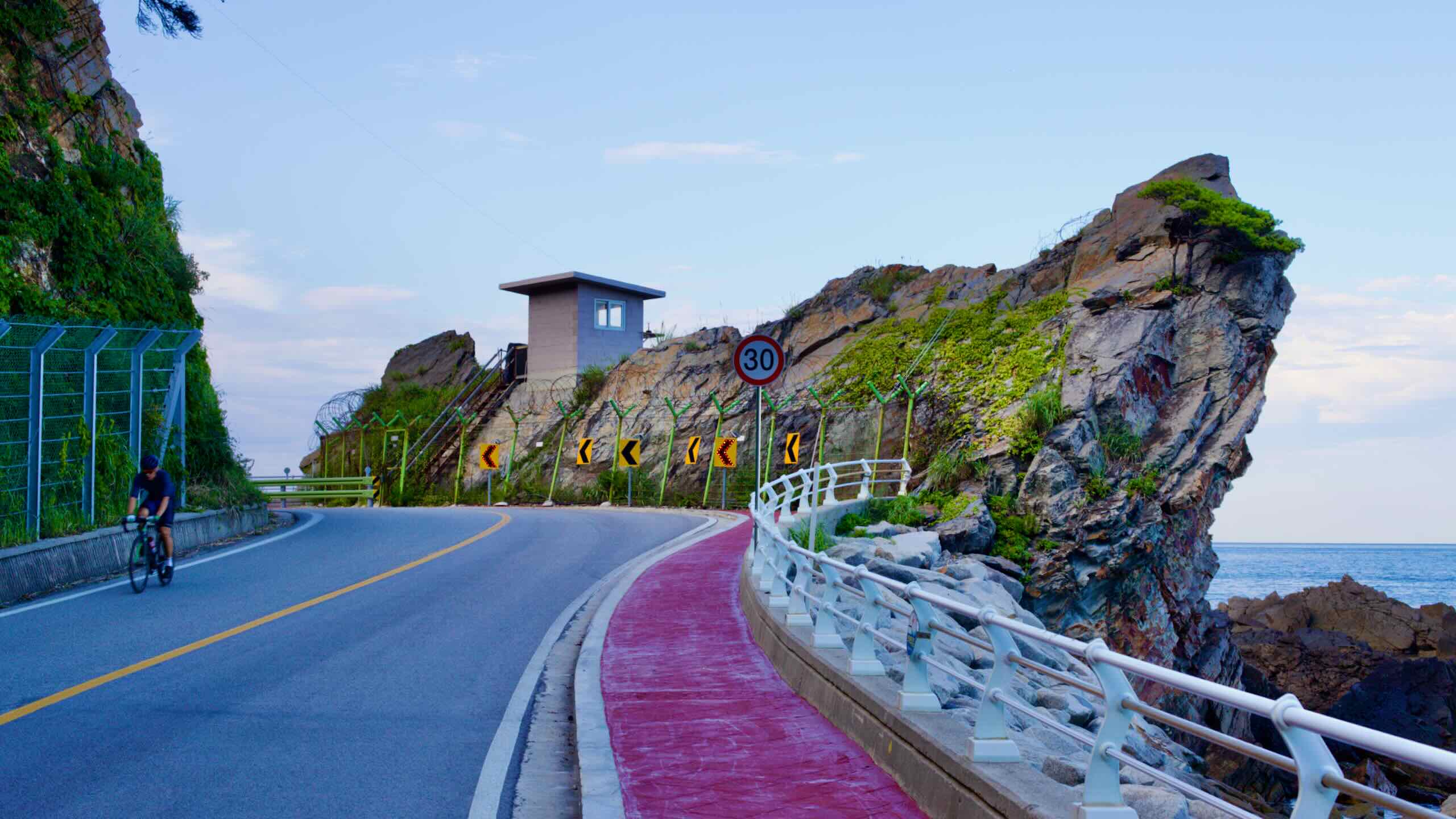
The Heonhwa Road Pass is one of the steepest gradients on the Gangwon Bike Path, rising with a sharp 7% gradient.
Just beyond Simgok Port, follow Heonhwa Road inland up the Heonhwa Road Pass, one of the steepest gradients on the Gangwon Bike Path. It rises 70 meters over 1 kilometer with a sharp 7% gradient (directions).
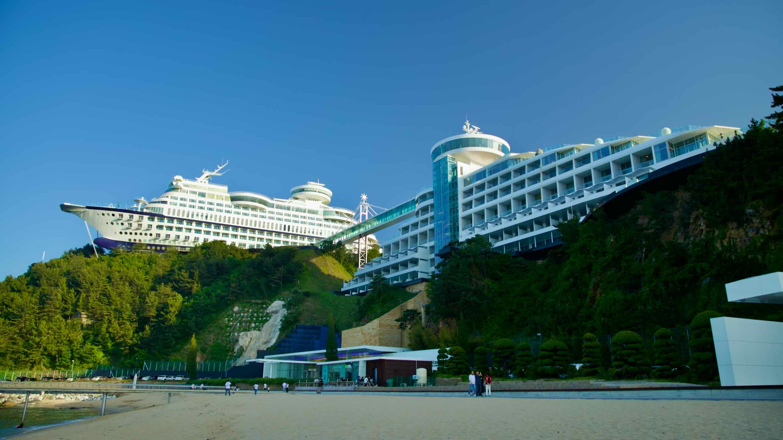
The bike path continues for another 1.7 kilometers along an elevated, forested coastal terrace. Near the end, you’ll come to a cluster of pensions and restaurants, all gathered near a road leading to Sun Cruise Resort (road view), a 4-star hotel shaped like a pair of giant cruise ships looming on Jeongdongjin’s southern hills.
What’s Jeongdongjin? Descend from the coastal terrace, and when you meet the East Sea again, you’ll find yourself in the heart of this Gangwon Bike Path highlight.
Since the Silla Dynasty (57 BCE ~ 935 CE), kings have performed ceremonies at Jeongdongjin for the Sea Dragon King, an ancient king that transformed into a dragon to protect Korea’s coastline.
During the Joseon Dynasty, Jeongdongjin got its name because surveyors thought it was the easternmost point of Korea as measured from Gwanghwamun Gate (광화문; map), the east gate of Hanseong, the Joseon capital and today’s Seoul.
The area remained a sleepy seaside village for centuries until the TV drama Sandglass (모래시계) filmed its climax at Jeongdongjin Station. After Sandglass became a massive hit, Jeongdongjin gained popularity. Local leaders and entrepreneurs built accommodations and restaurants, and other landmarks on nearby cliffs.
Jeongdongjin Hourglass Park (map) forms the heart of Jeongdongjin. It sits on a teardrop-shaped piece of land between Jeongdongjin Stream (map) and Jeongdongjin Beach. At the center of the park stands an 8-meter tall, 40-ton hourglass — the world’s largest. The hourglass’s sand takes exactly one year to trickle from the top wedge to the bottom wedge. Every New Year’s Day, workers rotate the hourglass (or “yearglass”) to reset it.
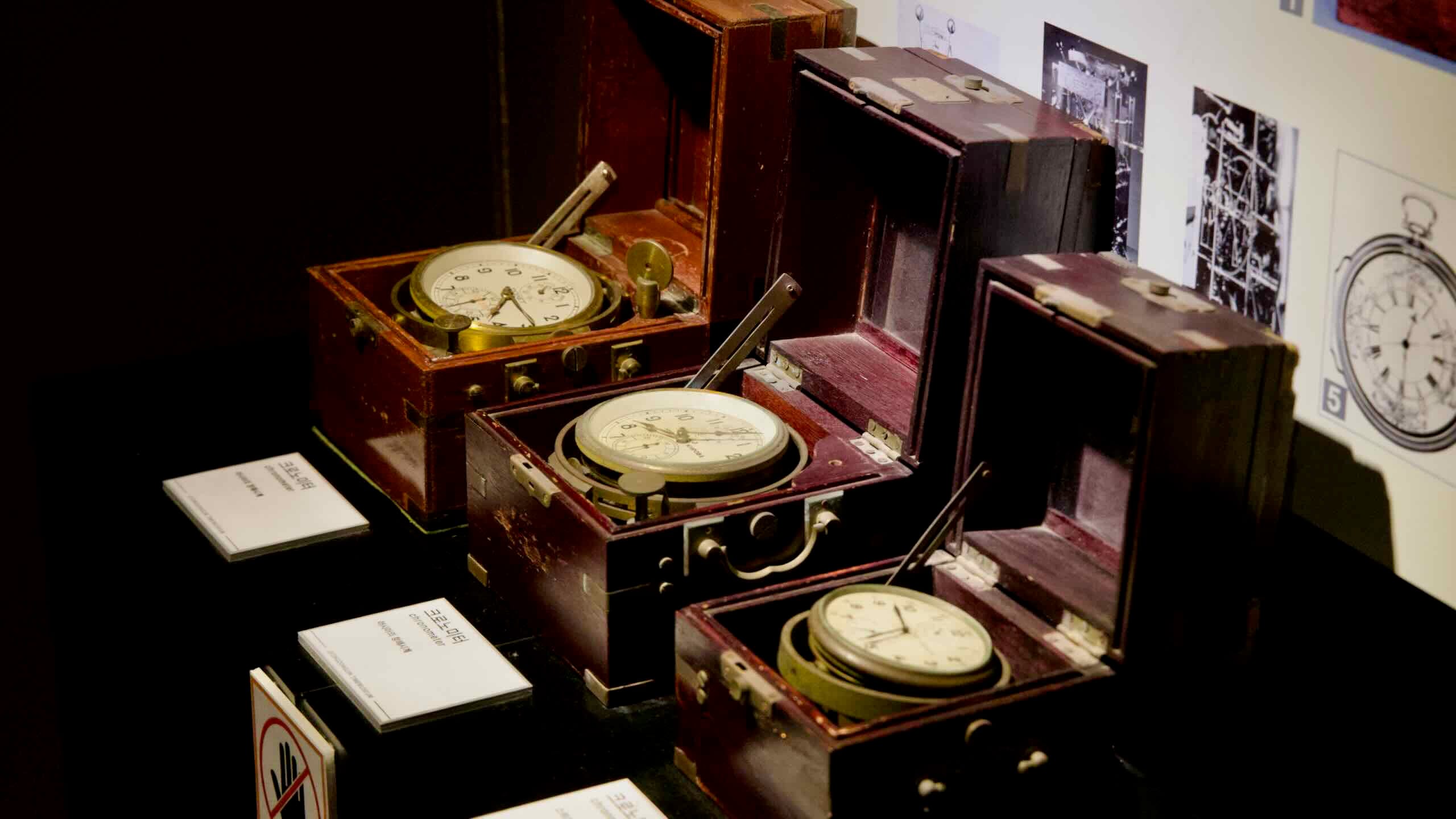
Jeongdongjin Time Museum (map) is located inHourglass Park inside an old steam locomotive and retrofitted passenger cars on a 180-meter stretch of train track. The museum’s exhibits are selected with the theme “time.” Open from 9 AM to 6 PM, with a ₩9,000 admission fee.
Jeongdongjin Beach (map) lies at the foot of Hourglass Park. Measuring 250 meters long, Korea designated the beach Natural Monument No. 437 because of its protected sand dunes and striking cliff faces.
Jeongdongjin Station (map), opened in 1962, holds the Guinness World Record for being the train station closest to water, with its tracks lying just 50 meters from the East Sea. Using the Yeongdong Line, it became popular in 1994 when the SBS drama Sandglass filmed its climax on its platform.
Jeongdongjin Rail Bike (map) offers pedal-powered rail cars that cruise along Jeongdongjin’s coast. Rail bikes include 2-seater (₩25,000) and 4-seater cars (₩35,000). It is open from 9 AM to 5 PM.
Sun Cruise Resort (map), a 4-star hotel that opened in 2001, looms on Jeongdongjin’s southern hillside. The hotel’s two buildings are designed to resemble a Sovereign-class cruise ship. The resort includes 600 rooms, six restaurants, a saltwater pool, and speakers blaring nautical sounds.