The route crosses ancient fortresses and royal tombs from the Kingdom of Baekje, one of Korea’s three founding dynasties. The bike path ends inside a bird sanctuary on the west coast.
Linking Korea’s administrative capital to its western coast, the Geumgang Bike Path follows one of the country’s most historic rivers.
The 146-kilometer route connects Daecheong Dam in Daejeon to the Yellow Sea in Gunsan. Along the way, it passes through the former Baekje Kingdom capitals of Gongju and Buyeo, offering a mix of quiet riverside riding and cultural landmarks.
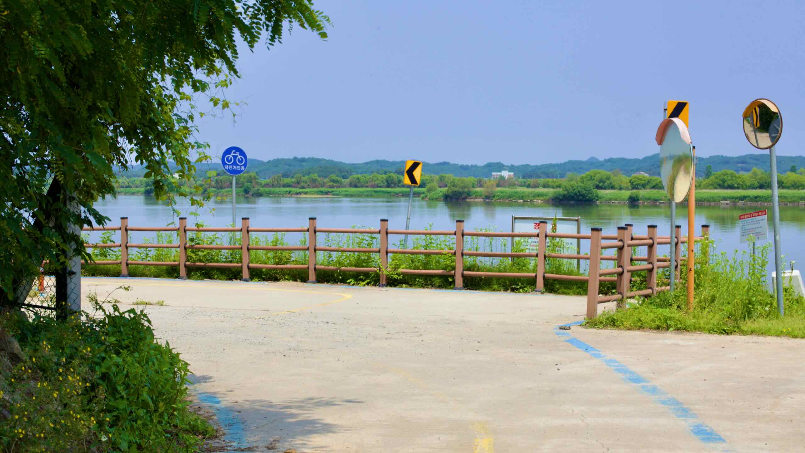
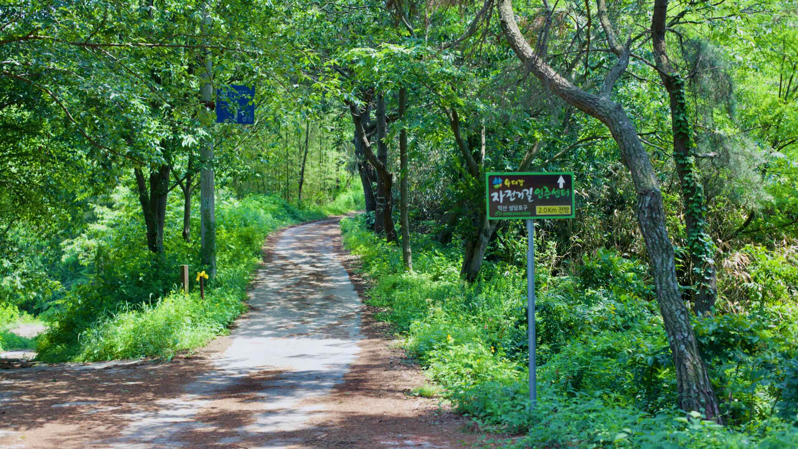
The path closely hugs the Geum River for nearly its entire length, making it one of the more consistent and beginner-friendly rides among Korea’s certification paths.
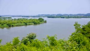
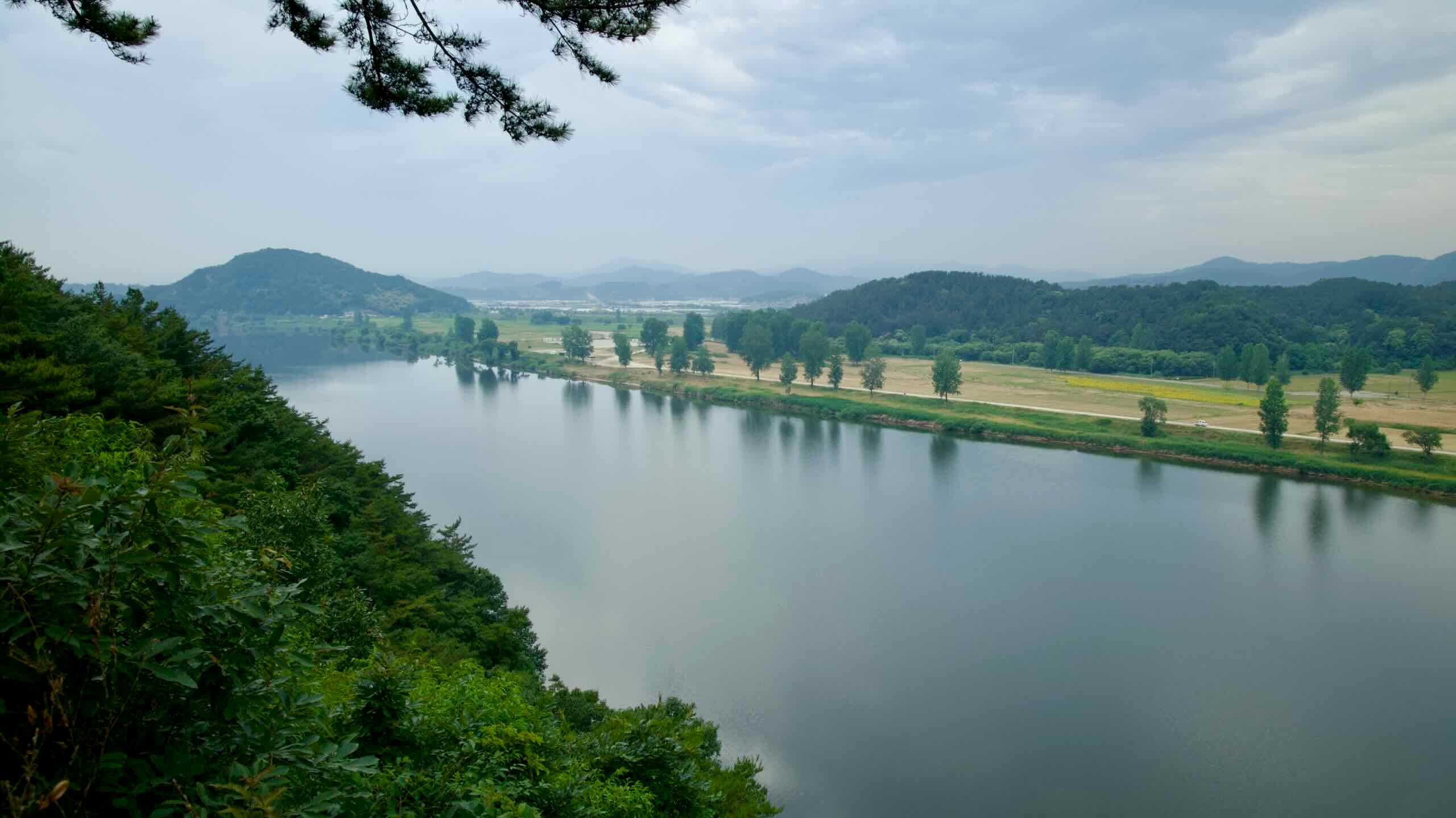
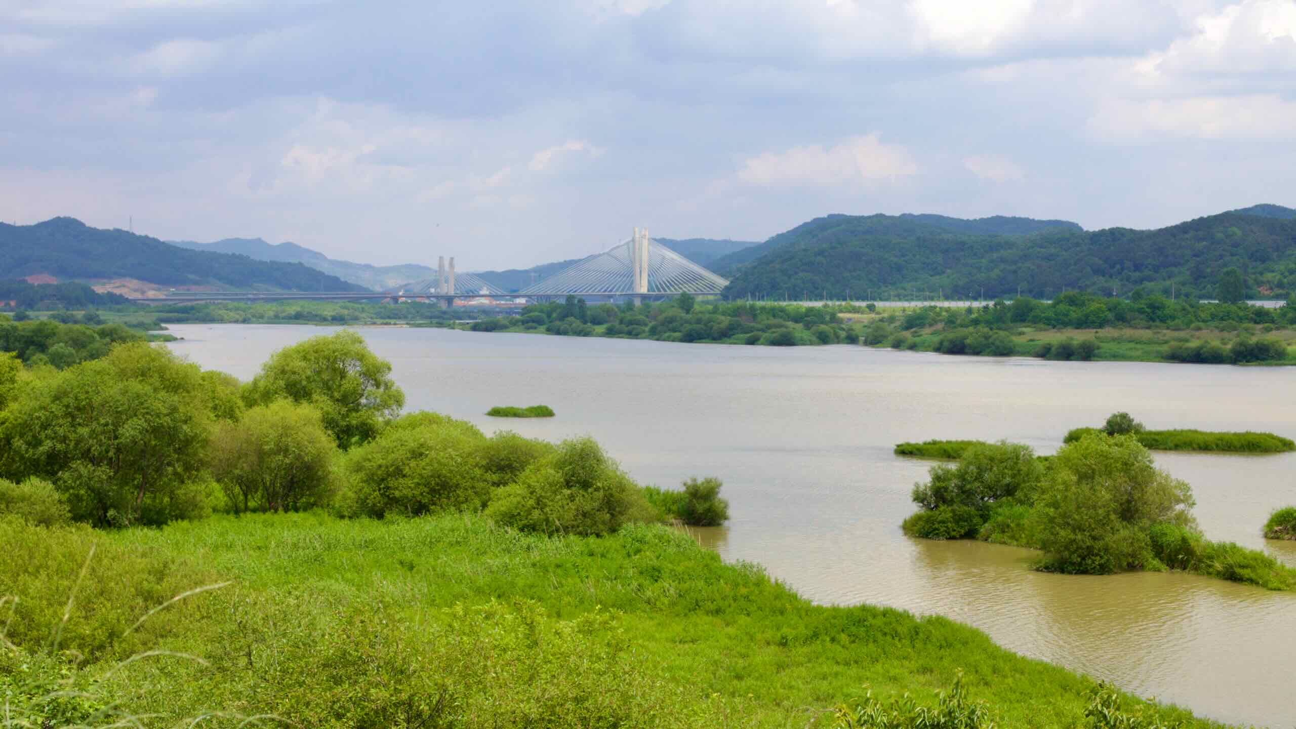
The Geumgang Bike Path gets its name from the Geum River (금강; Geumgang; map), Korea’s third-longest waterway. Beginning in the Sobaek Mountains and ending in the Yellow Sea, the river winds through the center of the country. The certification path traces its middle and lower reaches, sticking closely to the river’s edge.
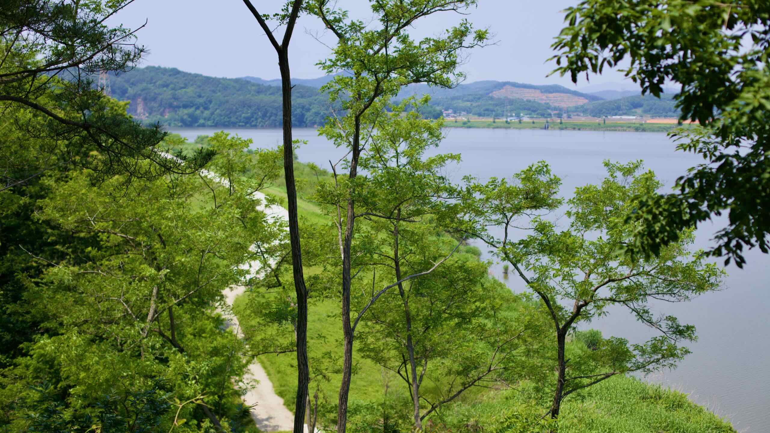
The Geum River runs in gentle arcs between ridgelines, forming a wide, low-lying corridor. The bike path mirrors this shape, riding riverside levees, flood-control reservoirs, and embankments without much deviation.
This consistent riverside course makes the Geumgang Bike Path one of the most scenic and accessible of Korea’s long-distance cycling routes.
The route unfolds in two main sections: Daejeon to Buyeo, and Buyeo to Gunsan. It sticks tightly to the river for nearly its entire length, passing through a string of historic cities and quiet agricultural areas.
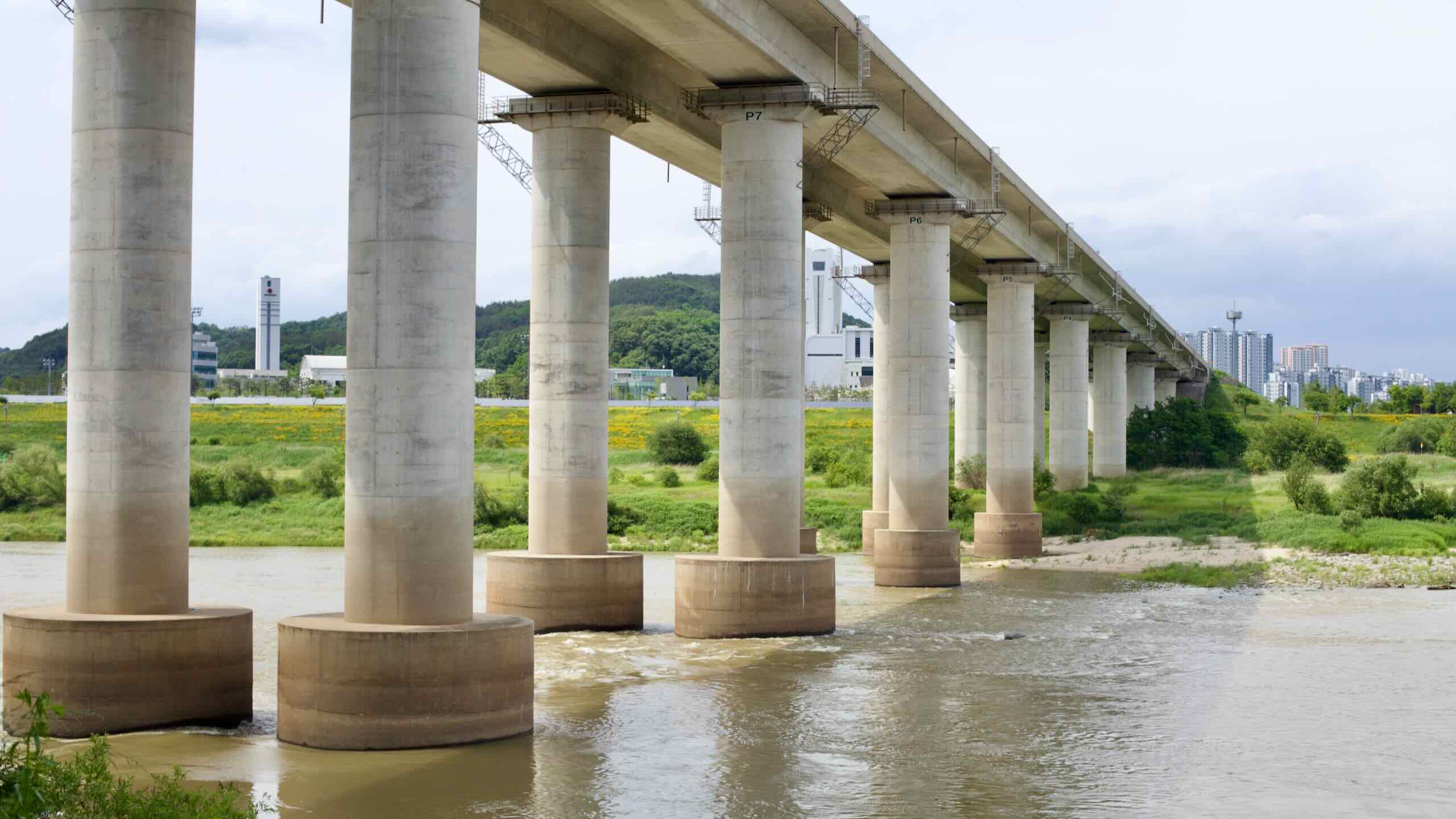
The path begins at the Daecheong Dam Certification Center (대청댐 인증센터; map), in the northern reaches of Daejeon. Although it technically starts within the city, riders bypass the city’s center.
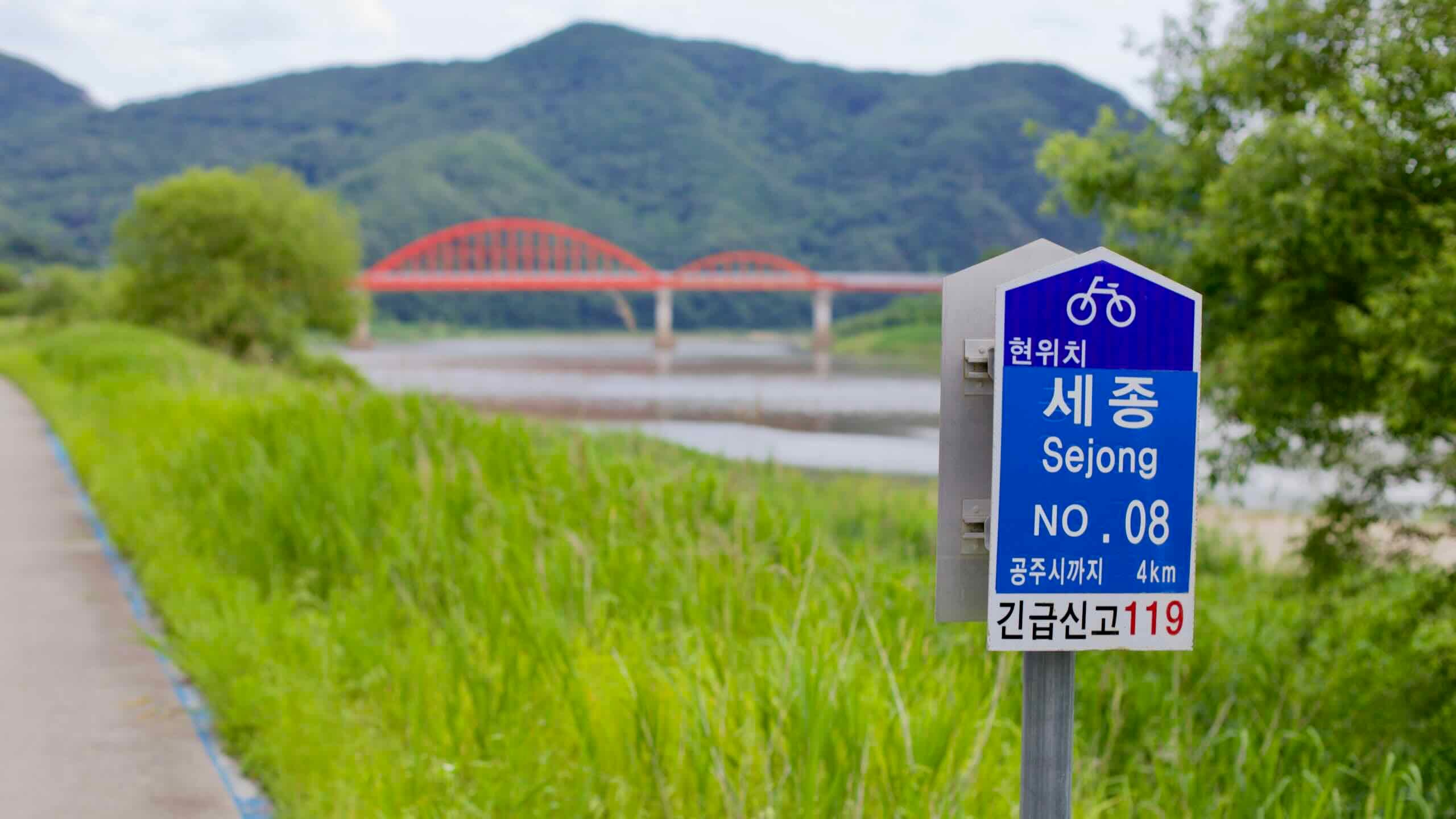
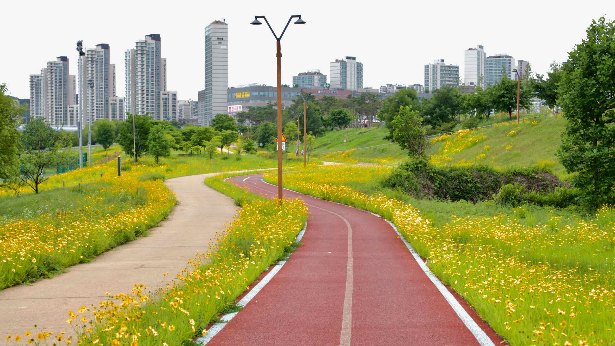
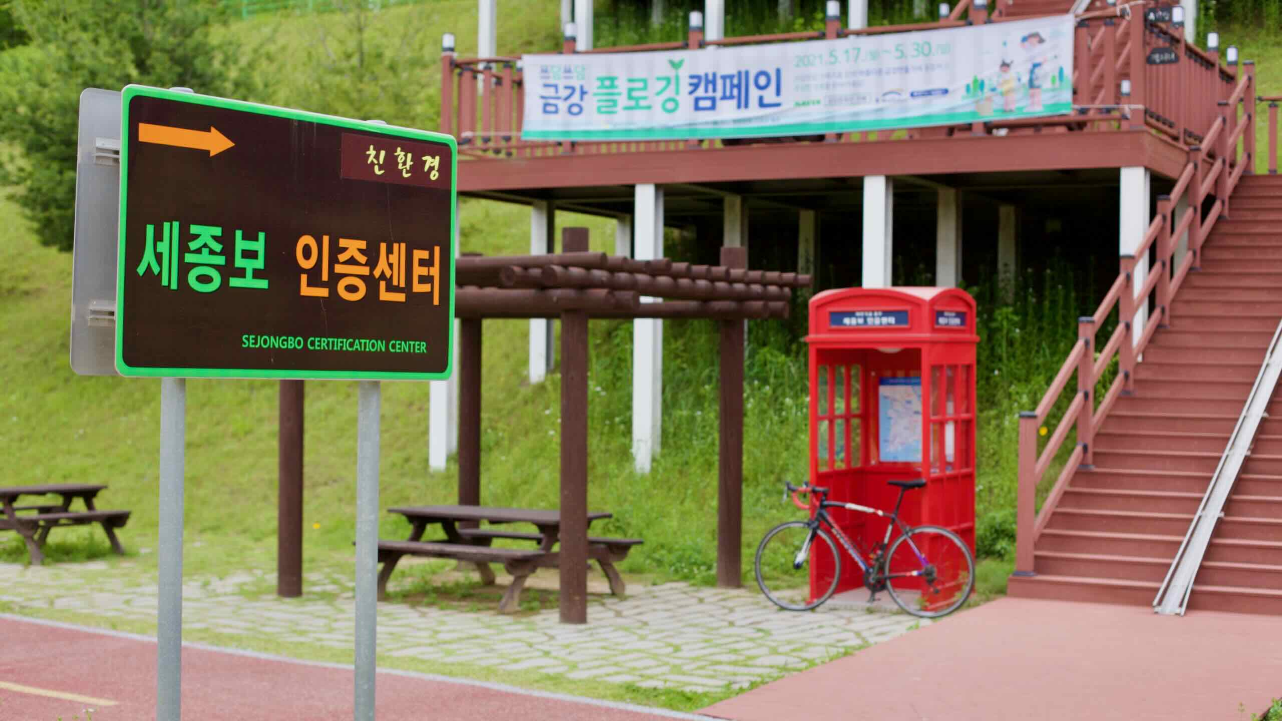
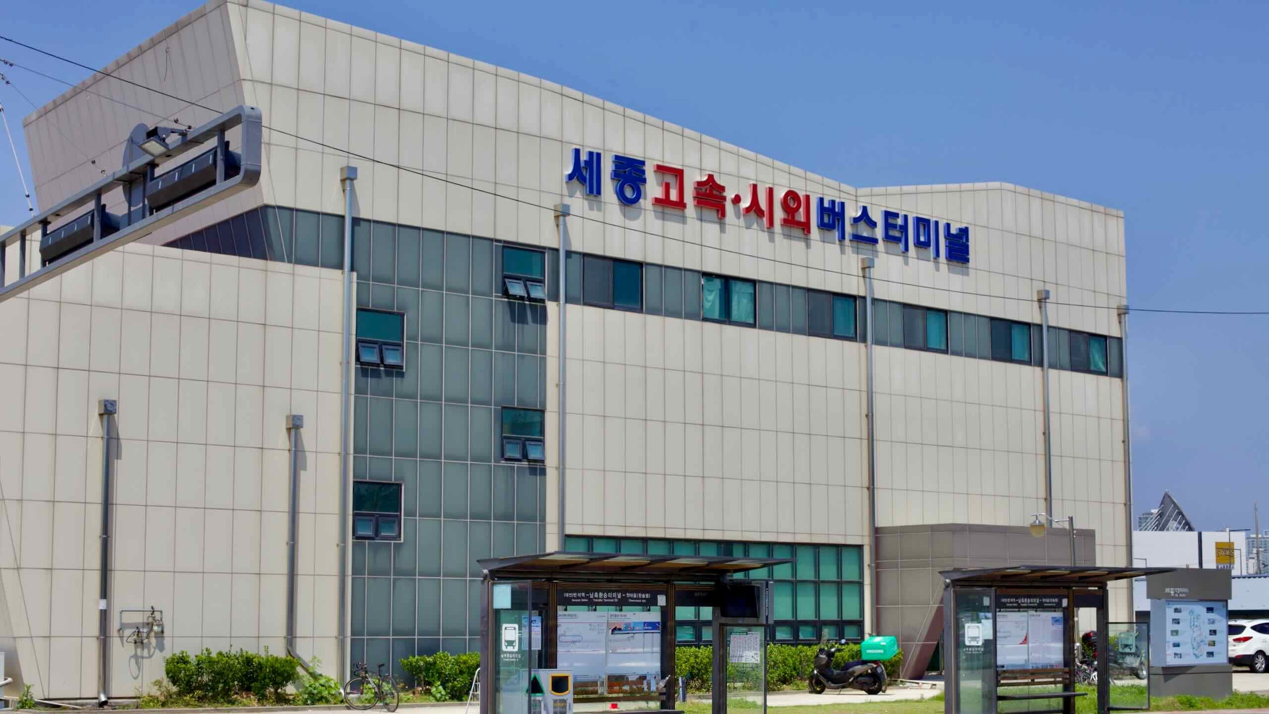
The route’s first urban stop is Sejong Special City (세종시; map), where the wide riverside paths guide cyclists just below its gleaming new buildings.
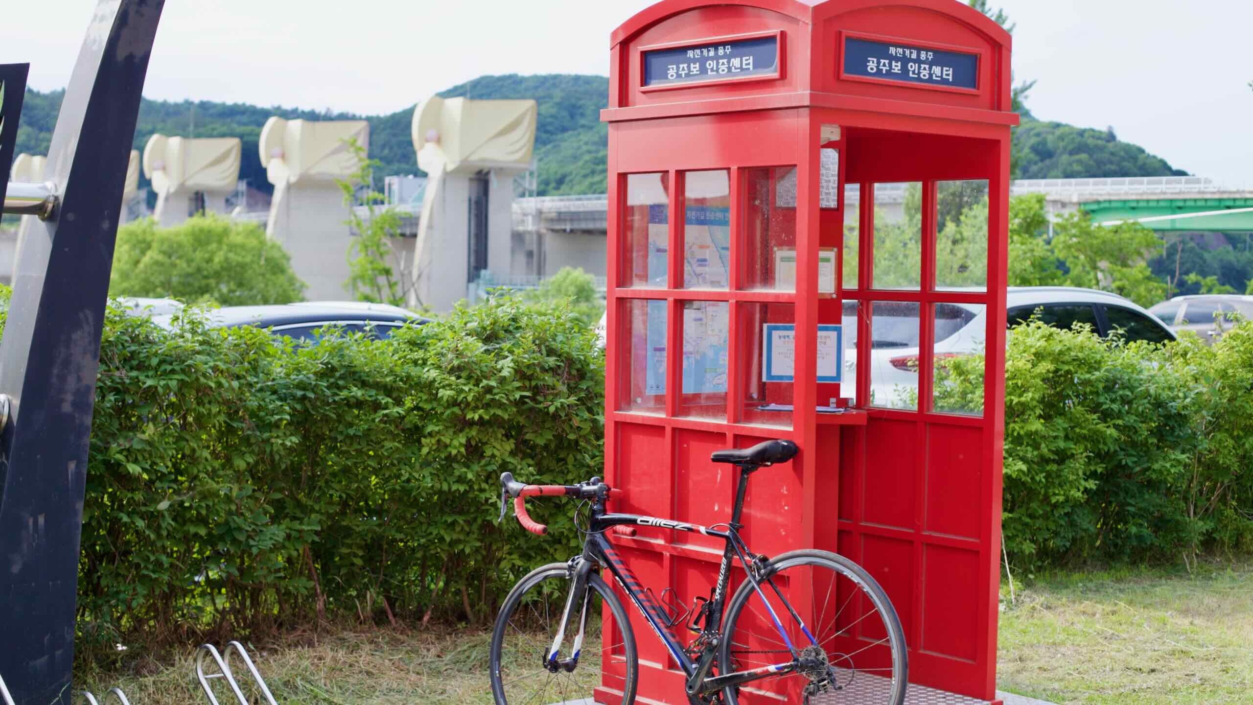
From Gongju, the path pushes downstream into Buyeo County (부여군; map), another stronghold of Baekje heritage. Like Gongju, its downtown offers museums, fortress ruins, and ancient monuments.
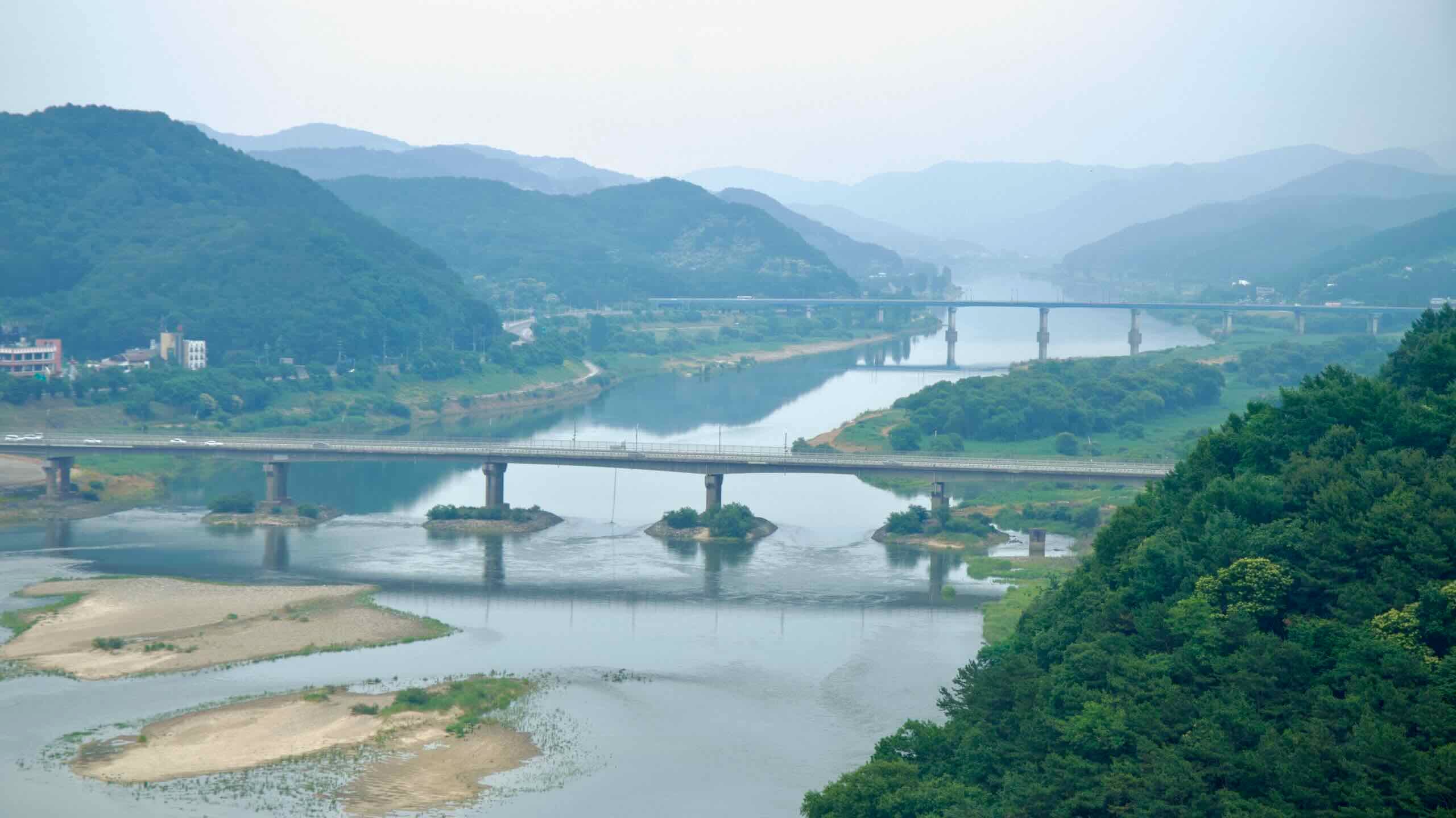
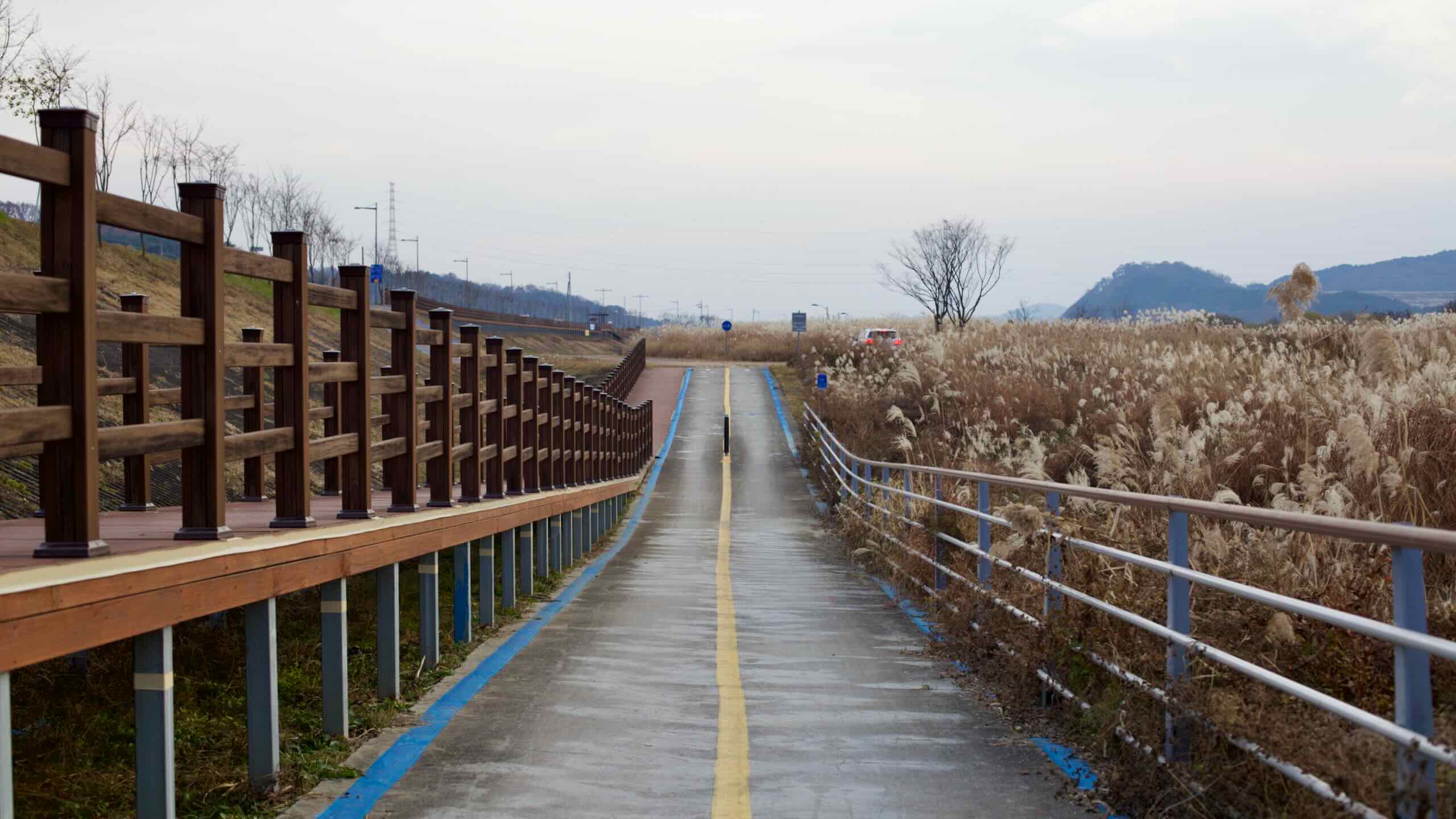
Leaving Buyeo, the cycling route sticks to the river’s southern banks. It flows through floodplain parks and past scattered farms, slowly approaching the Geum River’s wide, tidal mouth.
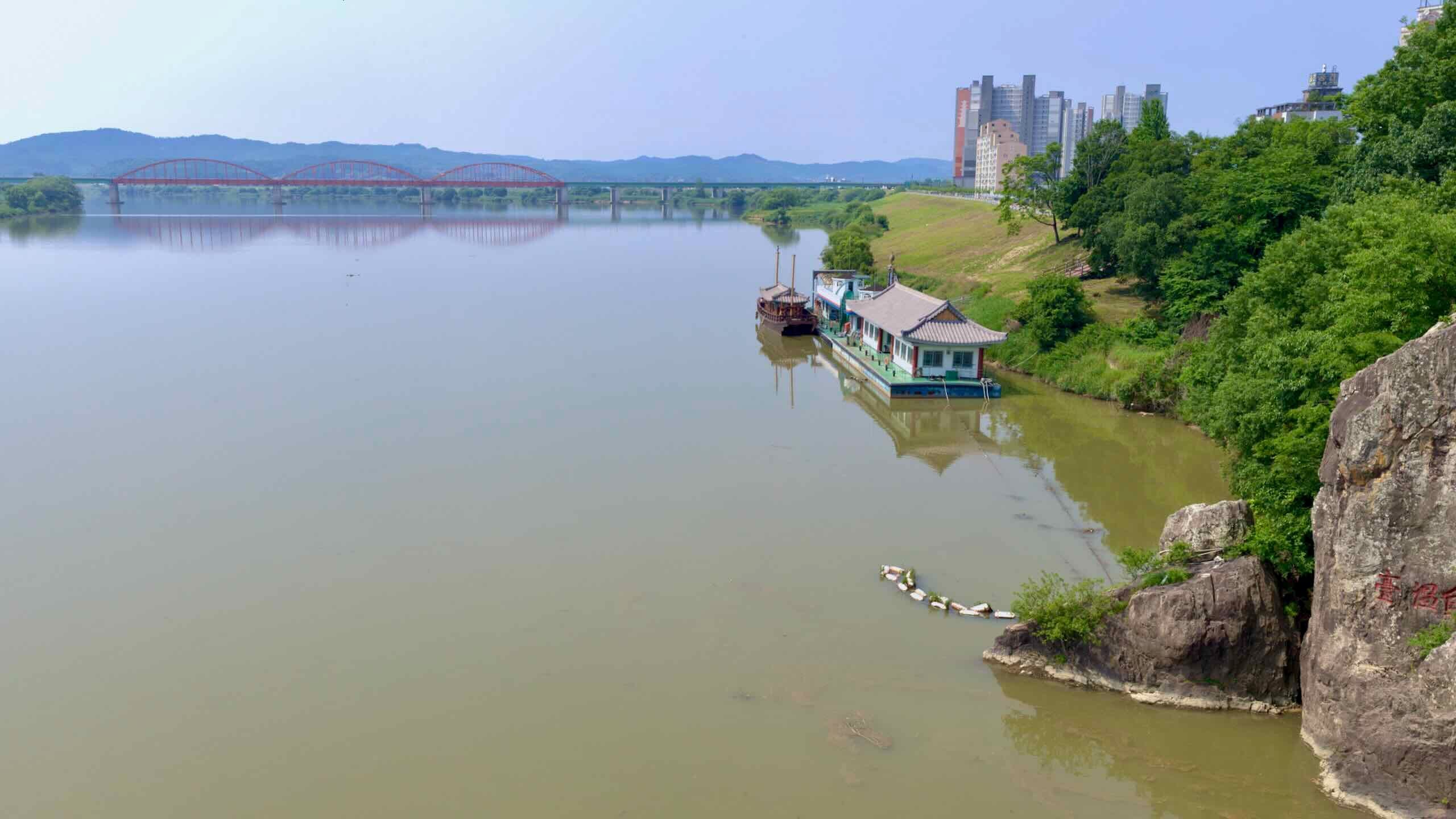
This section features long, uninterrupted stretches of riverside riding, with occasional short hills and a pair of retired inland ports. The landscape travels long and winding stretches as the river widens near the coast.
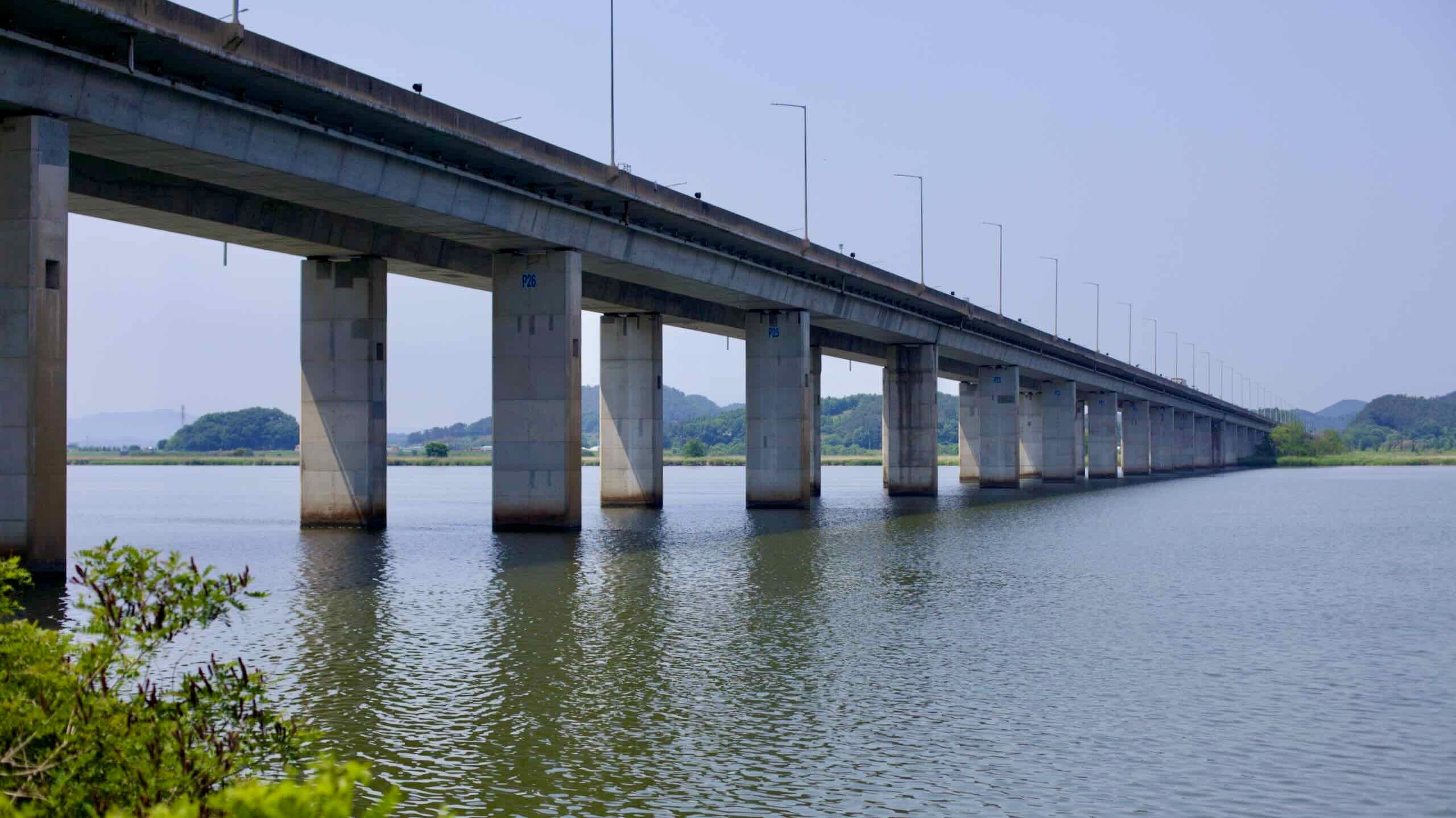
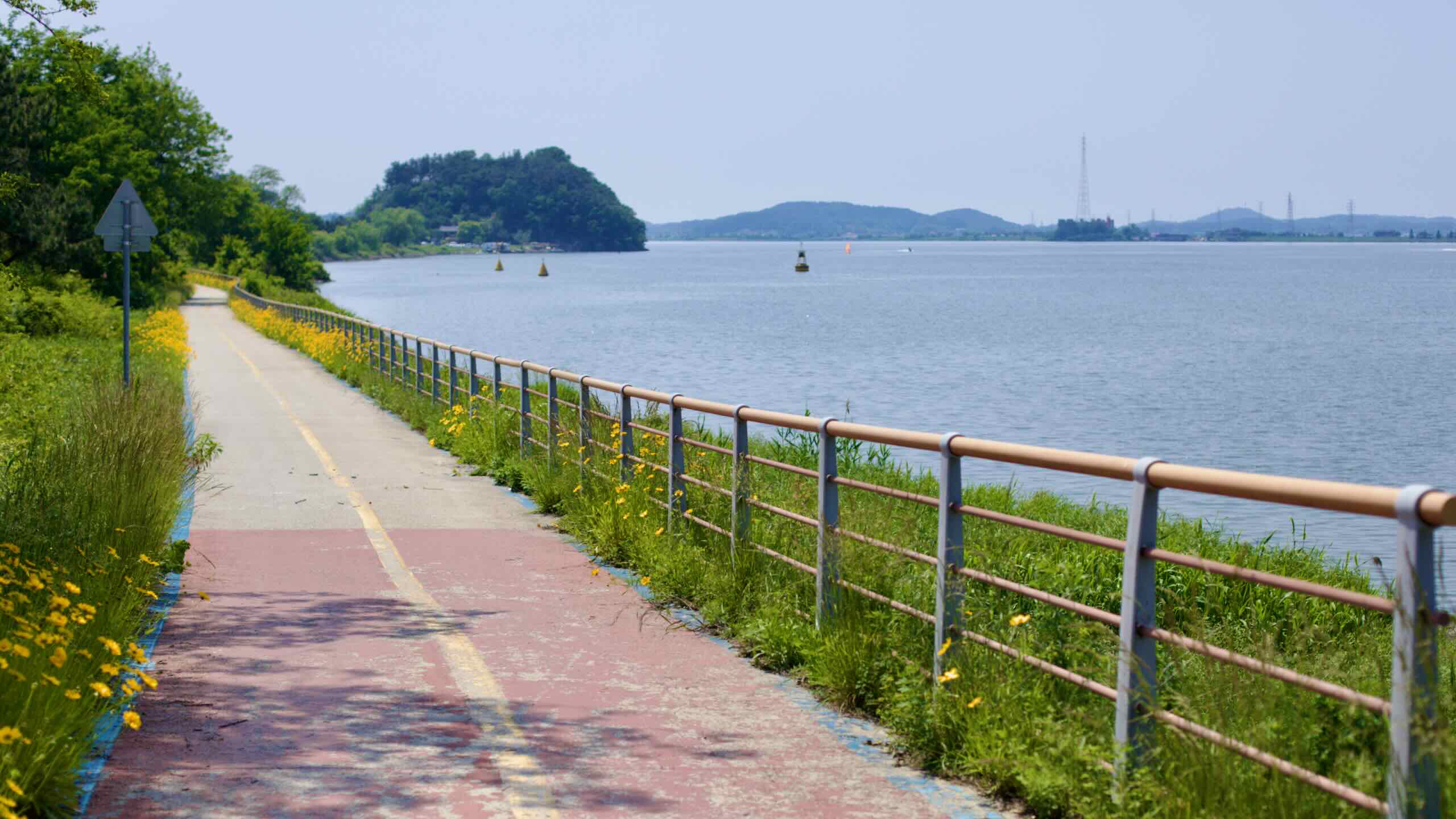
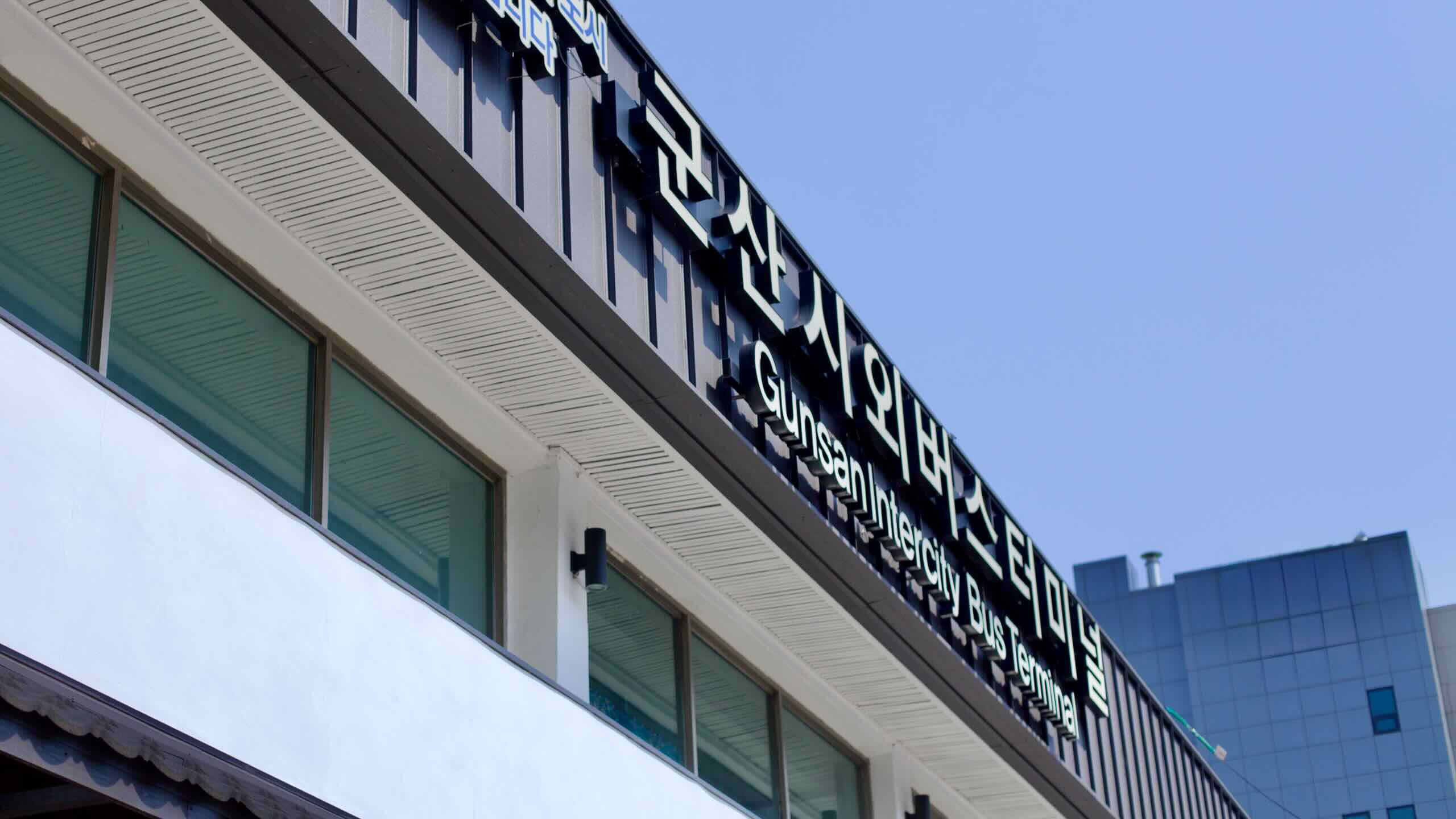
The route ends at the Geumgang Estuary Bank Certification Center (금강하구둑 인증센터; map), near the estuary’s locks. From here, riders can continue into downtown Gunsan, a port city known for its Japanese colonial architecture, seafood markets, and nearby ferry terminal.
The Geumgang Bike Path passes two metropolitan cities, two provinces, five counties, and six cities. Check out these short profiles of each.
Daejeon Metropolitan City (대전광역시; map), Korea’s fifth largest, was a small settlement occupying a sweeping field until builders laid a railway through town in 1905. Now a transit hub, the city marks the point where the rail line from Seoul split in two. One heads southwest to Mokpo. The other runs southeast to Busan. Many of Korea’s leading tech companies locate R&D facilities in the metro city, earning Daejeon the nickname “Korea’s Silicon Valley.”
Sejong City (세종특별자치시; map), named after Korea’s most important ruler, is the nation’s second capital. Why? Like London and Paris, some Koreans thought Seoul wielded too much influence. (And, it sits in North Korea’s artillery range.) So the government founded Sejong in 2012 by seizing a South Chungcheong Province county, erecting giant government complexes, and moving dozens of national ministries within its borders.
South Chungcheong Province (충청남도; map) sits west of North Chungcheong Province along the Yellow Sea. Seoul’s extra long subway tentacles branch into the province’s northern Cheonan and Ansan Cities, the fastest growing districts. During Korea’s Three Kingdoms era, the Kingdom of Baekje (18 BCE ~ 660 ACE) retreated from their capital near present-day Seoul to South Chungcheong Province and flourished for a few centuries.
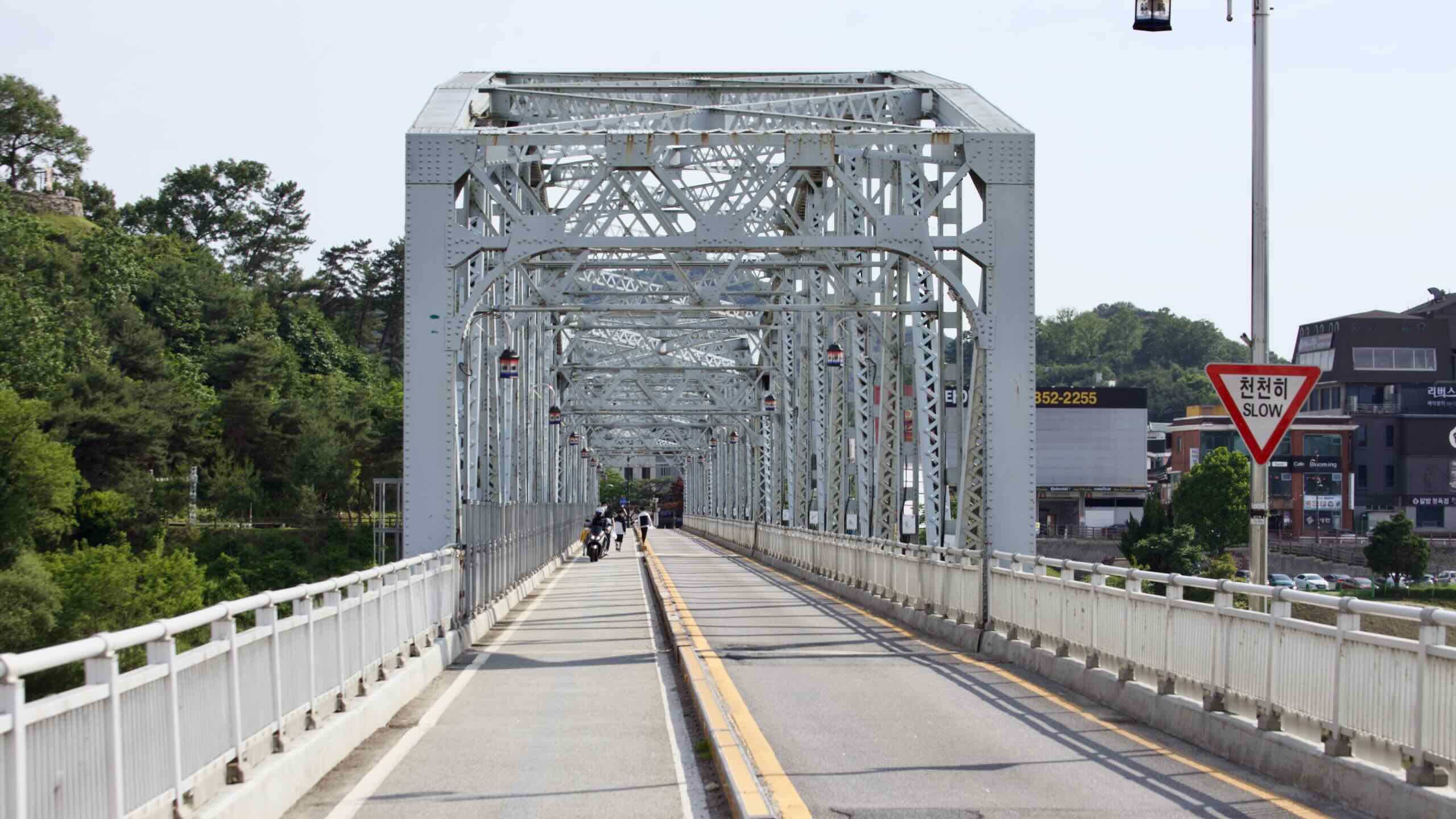
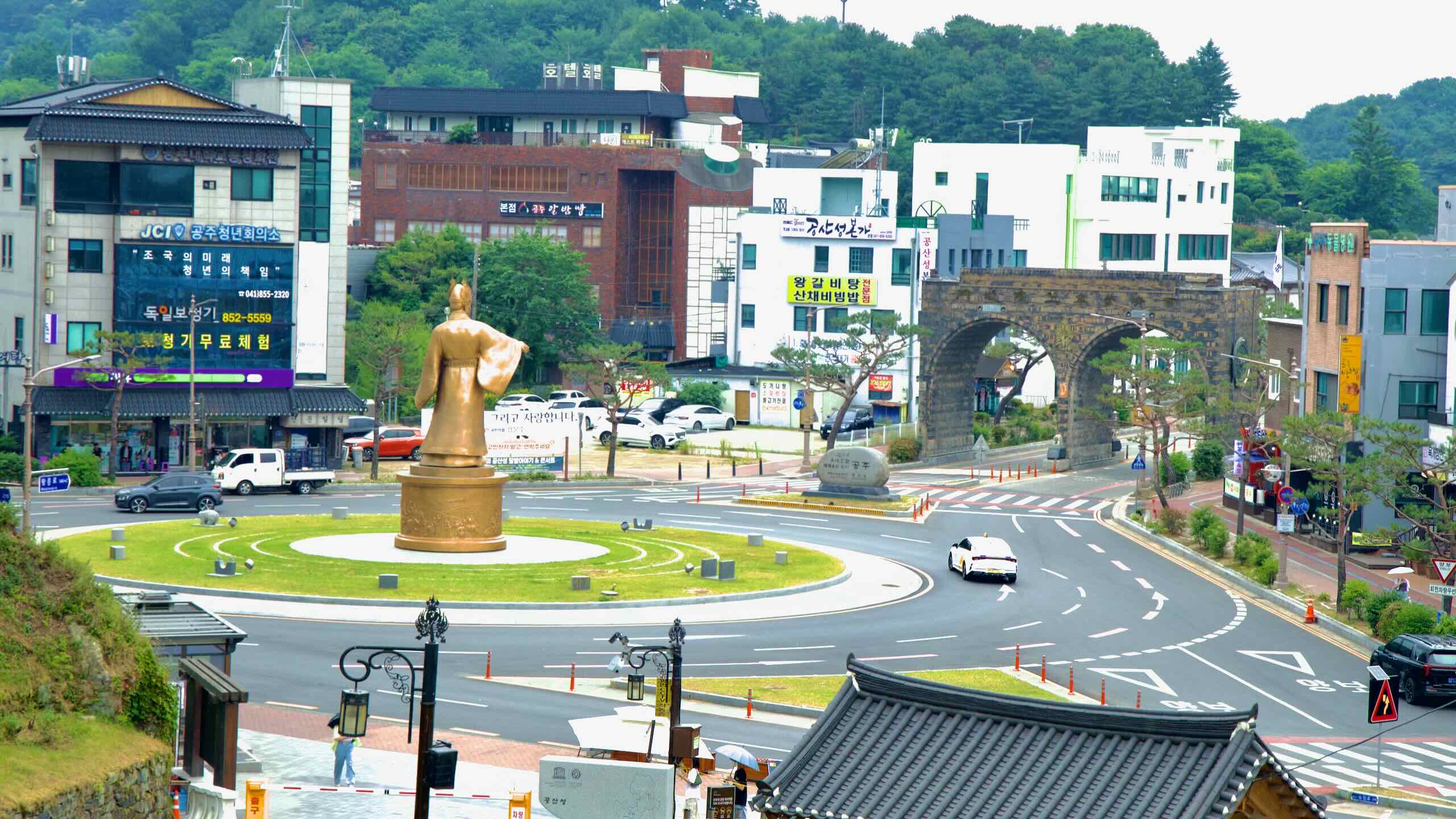
Gongju City (공주시; map), after retreating from Wiryeseong near present-day Seoul, was the Baekje Kingdom’s temporary capital. Along the Geum River, it hosts many historical treasures, like Gongsan Fortress and Baekje Royal Tombs. Sejong City, Korea’s second capital, stole a few acres from the city in 2012.
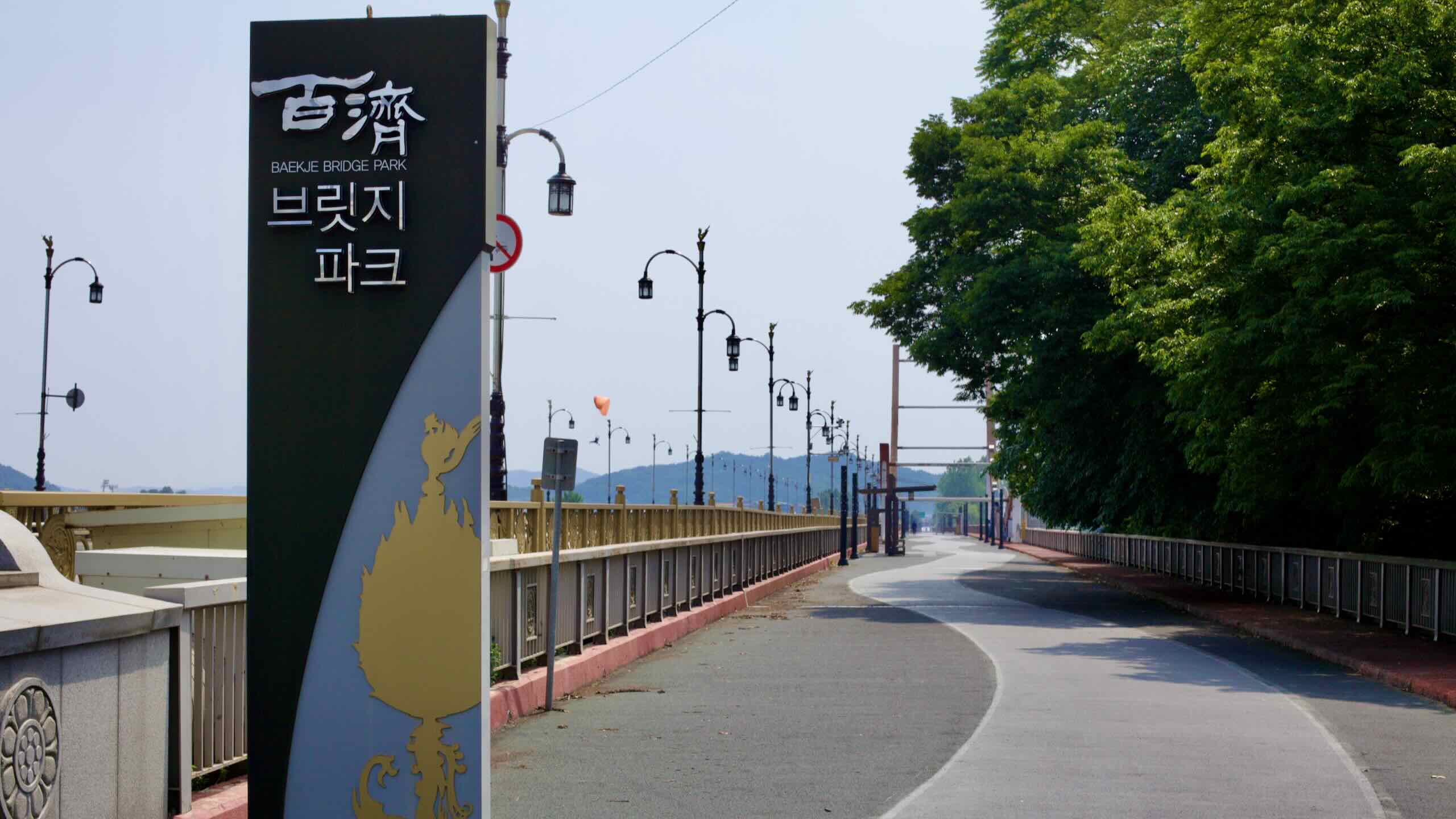
Buyeo County (부여군; map), once known as Sabi Fortress, was the last capital of the Baekje Kingdom until Silla conquered and united the peninsula in 660 ACE. The county’s downtown converted ancient hilltop fortifications into an enormous park, with famous temples, tombs, and a Baekje theme park nearby.
Nonsan City (논산시; map) held the last battle between Baekje and Silla forces in 660, leading to the Baekje’s downfall. Today, the city’s farm fields pump out rice, watermelon, and famed strawberries. The city also hosts a KTX station and connections to major expressways.
North Jeolla Province (전라북도; map) shares the southwest corner of the peninsula with South Jeolla. Koreans know the region for rich food at cheap prices and the birthplace and keeper of pansori, Korean musical storytelling. The least wealthy province in the nation, the area holds part of the Honam Plains, which has filled the country’s rice bowls since ancient times. Its coast, before reclamation, contained extensive mudflats on the Yellow Sea. Jeonju, the largest city, boasts a famed hanok village, museums, festivals, and bibimbap restaurants.
Iksan City (익산시; map), whose downtown lies far from the bike path, is the ancient Honam region’s northernmost district. Once a second capital for the Kingdom of Baekje, today the city is a railroad hub, connecting the Honam Line, which flows from Seoul to Mokpo, with three regional lines.
Gunsan City (군산시; map, wedged between the Geum River and Yellow Sea, began as a fishing village. During the Japanese Occupation, the imperial air force commandeered the city’s mudflats and built an airport. After the Korean War, the US Air Force moved in. Today, Gunsan acts as a major port, exporting Honam Plain crops. Gunsan-ites also make a living sea fishing or building cars in a nearby GM factory.
The Geumgang Bike Path doesn’t feature any major climbs. Its eastern endpoint, the Daecheong Dam Certification Center in Daejeon City, sits atop an 54-meter-high embankment. From there, the path quickly drops and remains relatively flat as it winds west along the Geum River to the Yellow Sea.
Its western endpoint, the Geumgang Estuary Bank Certification Center in Gunsan, lies near sea level. Overall, riders descend gently across the entire route with only a few brief climbs interrupting the otherwise flat profile.
Daecheong Dam Climb
To reach the Daecheong Dam Certification Center, riders must first climb a hill leading to the upper courtyard above the reservoir. The road rises 54 meters over 1.7 kilometers for a steady 3.18% gradient (directions).
Just south of downtown Gongju, the path briefly detours away from the river and into the hills for one of the route’s longer climbs. This pass ascends 36 meters over 2 kilometers at a mild 1.8% grade (directions).
Seongdang Port Climb
Just past Seongdang Port, the bike path cuts through a wooded ridge. This is the steepest climb on the Geumgang Bike Path, rising 29 meters in only 362 meters for a sharp 8.01% grade. The summit offers a shaded pavilion and sweeping river views (directions).
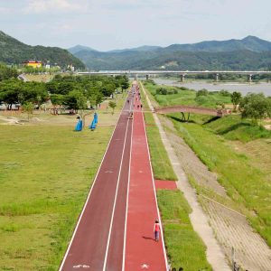
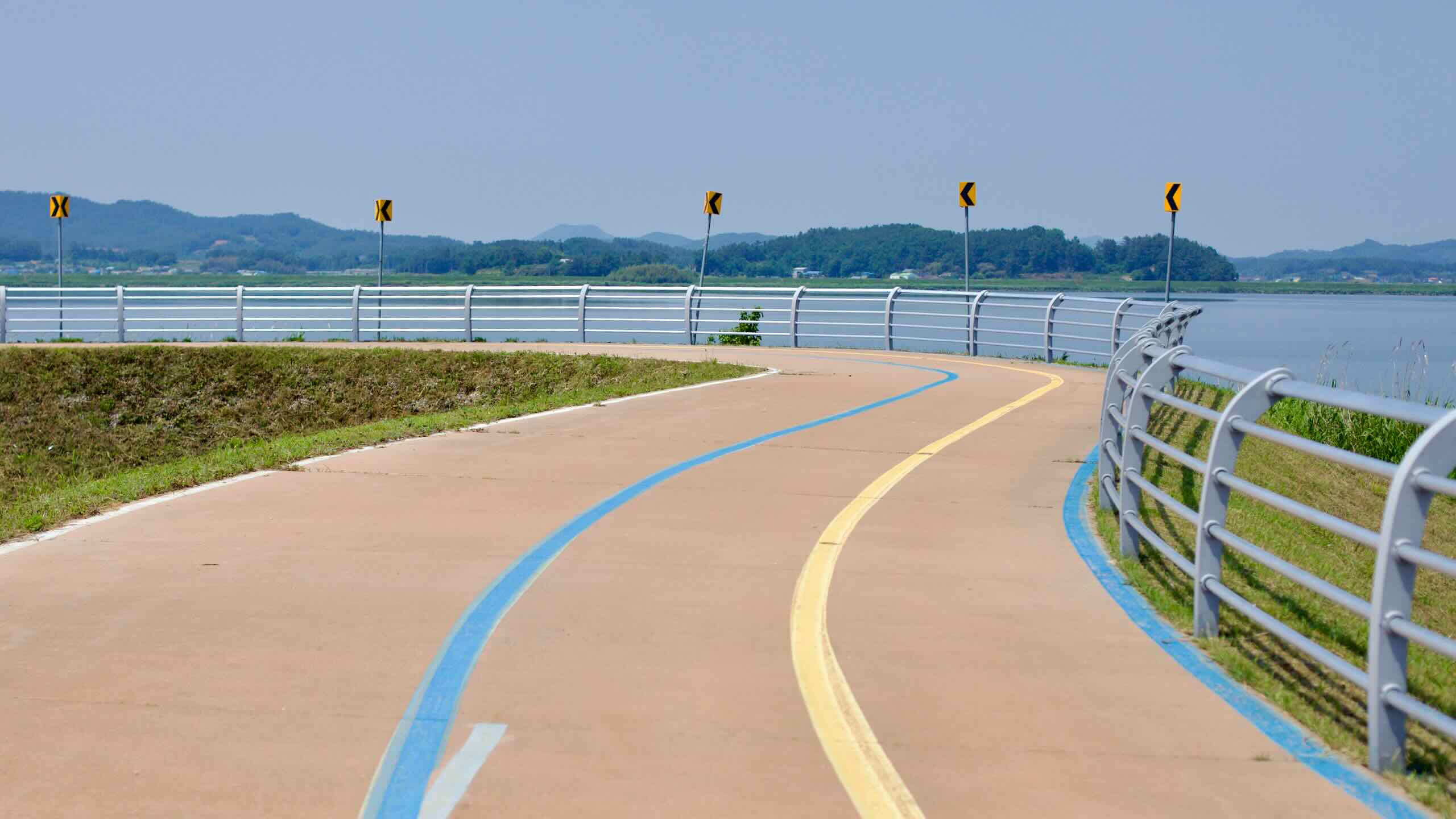
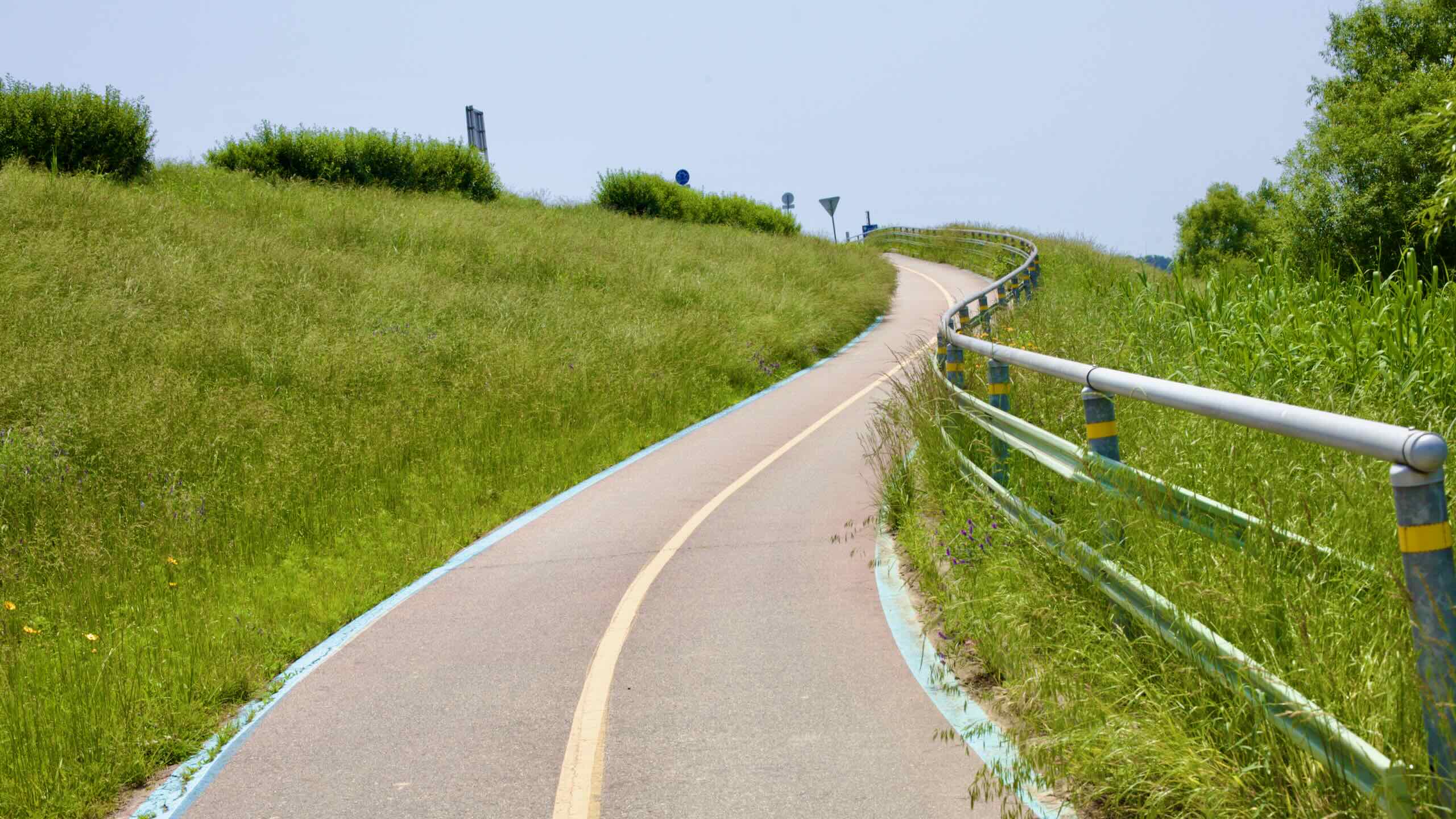
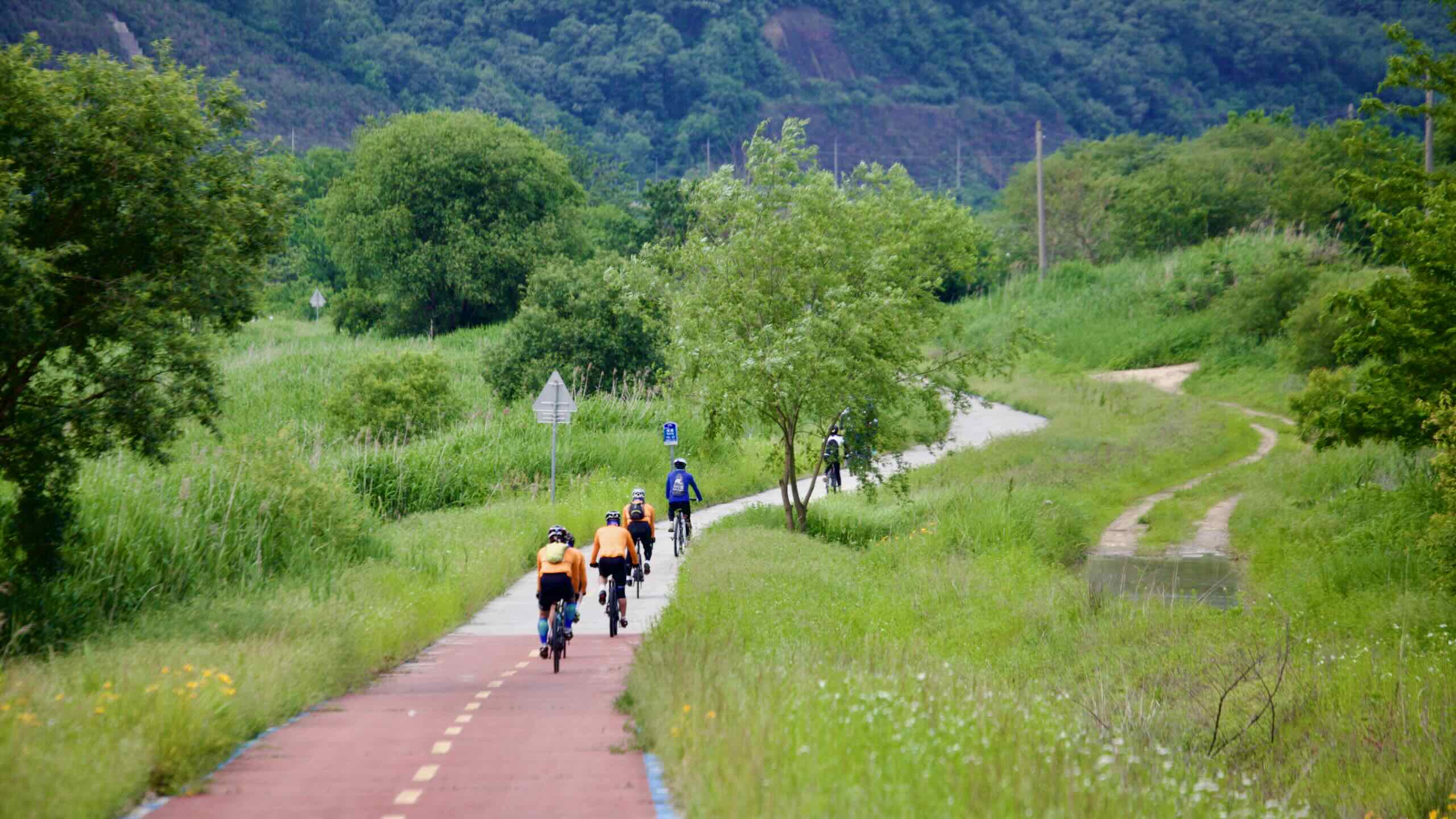
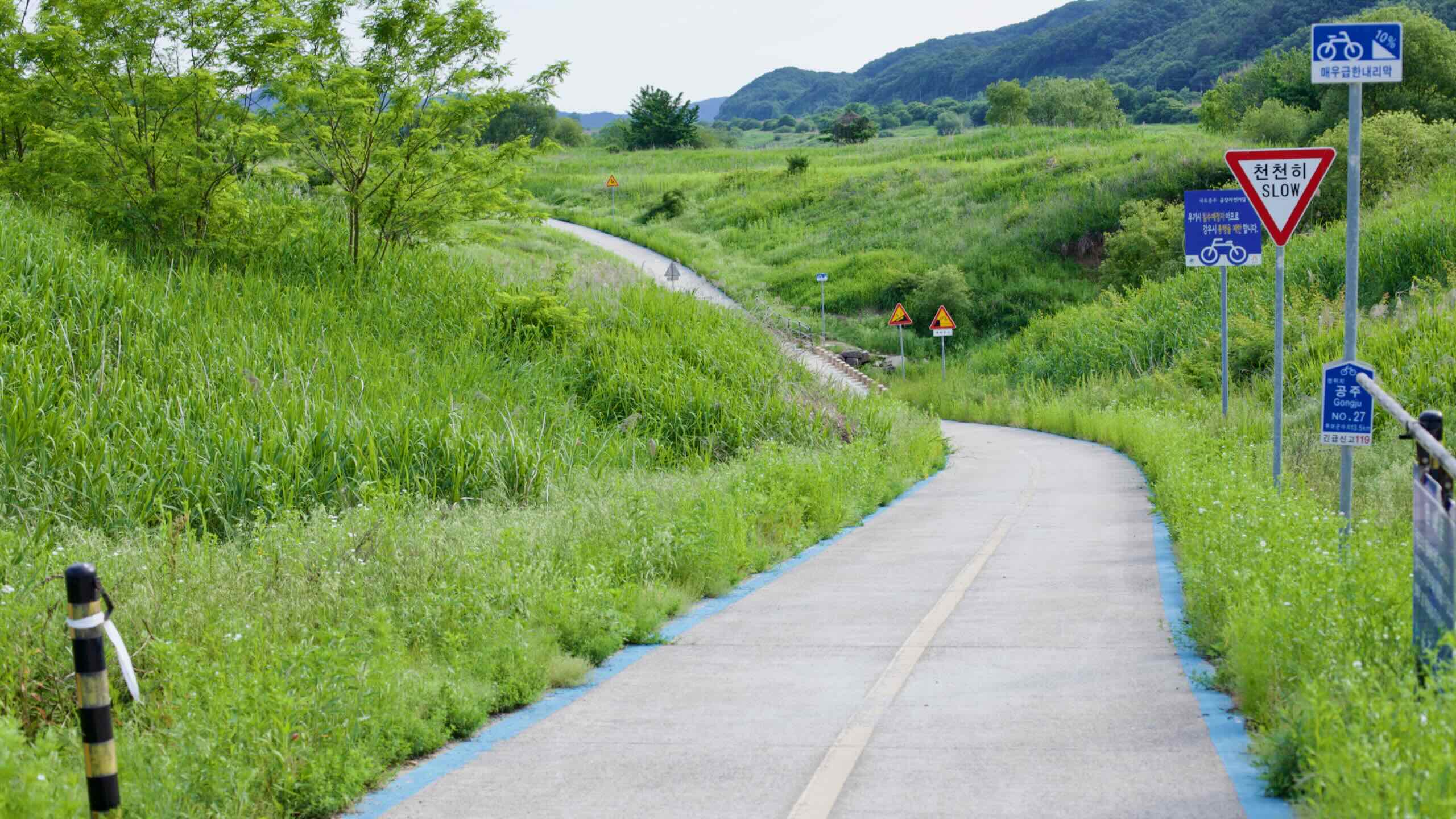
The Geumgang Bike Path may be Korea’s most consistent long-distance cycling route in terms of bike-only infrastructure. From Daecheong Dam to the estuary in Gunsan, the path stays close to the Geum River, traveling almost entirely on paved, dedicated lanes separated from cars.
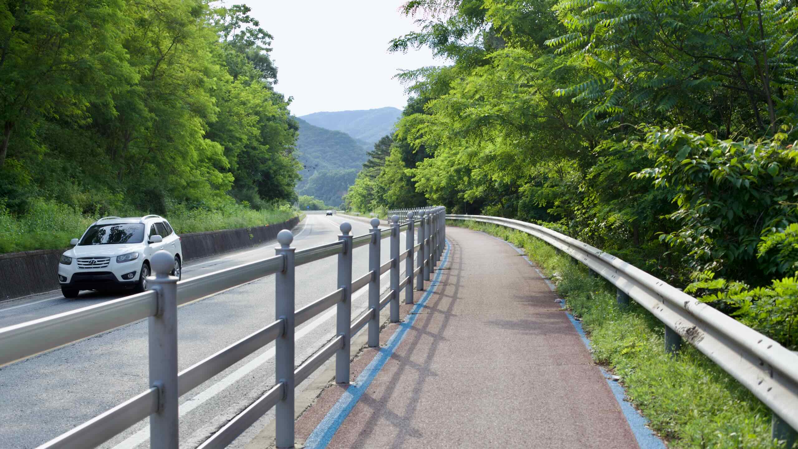
Even in rural stretches between Gongju and Buyeo, the path avoids country roads, instead following embankments and levees built exclusively for bicycles. Guardrails, painted lines, and raised shoulders offer added protection where the bike route runs parallel to roadways.
Here’s a breakdown of the types of paths you’ll ride.
Most of the Geumgang Bike Path travels along bike-only lanes built on flood-control levees, river embankments, and purpose-built parkways. These paths run beside the river, cross elevated bridges, and wind through wetlands and farmlands without interruption.
In Sejong City, the cycling infrastructure is among the best in the country, with wide lanes and solar-powered lighting on some segments.
This dedicated infrastructure continues all the way to Gunsan, where the final riverside segments offer smooth pavement through wetland parks and over the Geum River Estuary Bank.
Cyclists must briefly navigate small urban areas near the start and end of the route. In Gongju, the path cuts through the city’s compact downtown before reconnecting to riverside levees. And in Gunsan, those continuing to the intercity bus terminals must leave the riverside trail and enter the city proper, riding alongside cars and buses for a few kilometers.
Both of these detours are relatively short and well-marked, but they are not fully separated from vehicle traffic.
Port Town Roads & Boardwalks
In Ganggyeong Port and Seongdang Port, the path threads through small towns and across low-traffic roads shared with locals. These segments are short, and the pace is slow. Riders follow bike signs through neighborhoods that were once busy port communities.
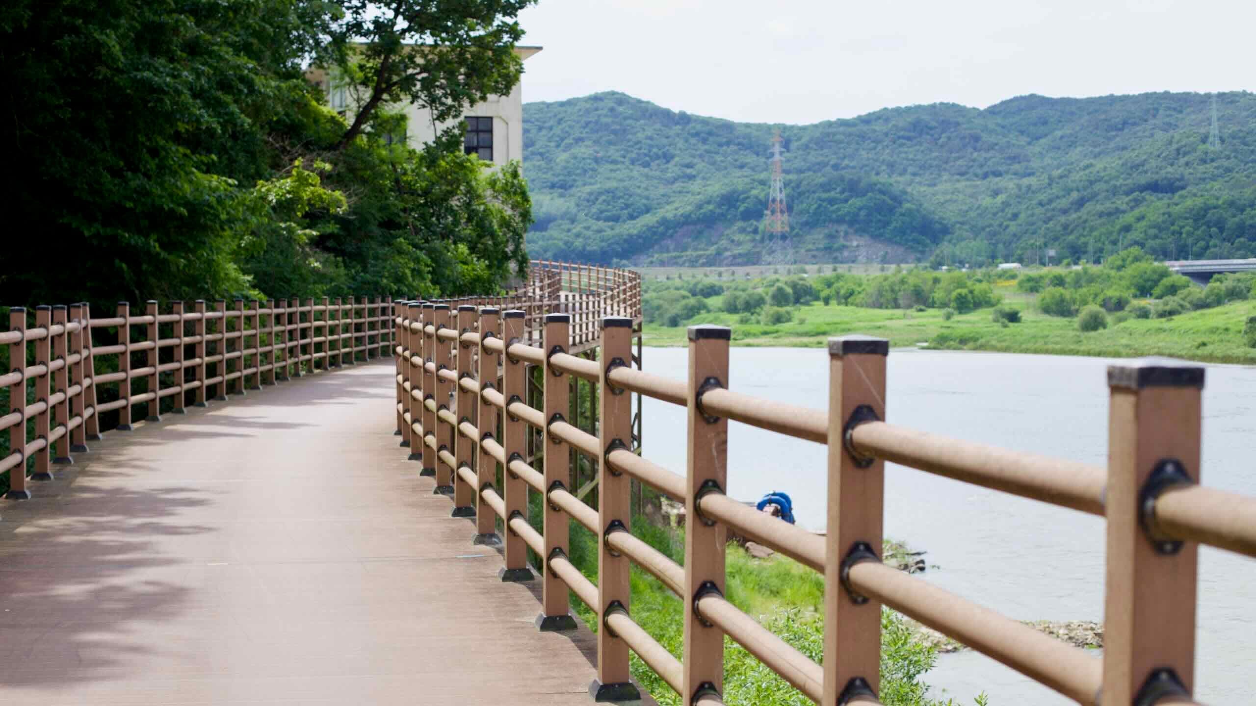
South of Buyeo, the path includes scenic boardwalks over the banks of the Geum River, designed for cycling and pedestrians.
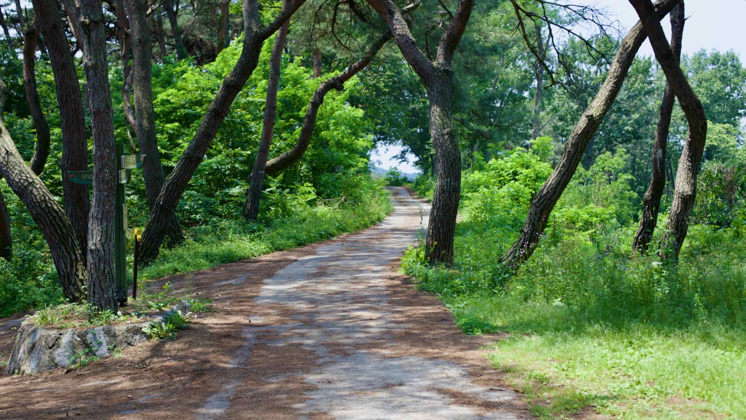
The steep Seongdang Port Climb uses a hybrid trail built for both hiking and cycling. It winds through a pine forest on a paved concrete surface. Fallen leaves, pine needles, and loose dirt can sometimes collect on the trail, especially in wet seasons.
On the eastern border of Sejong City, the Hapgang Park Certification Center (합강공원인증센터) sits at the intersection of the Ocheon and Geumgang Bike Paths. It marks the end of the Ocheon Path and does not count towards the Geumgang certification.
The Geumgang Bike Path runs 146 kilometers from Daecheong Dam to the Geum River Estuary Bank. It offers a journey through history, culture, and nature, passing remnants of Baekje’s ancient glory and tranquil ecological reserves.
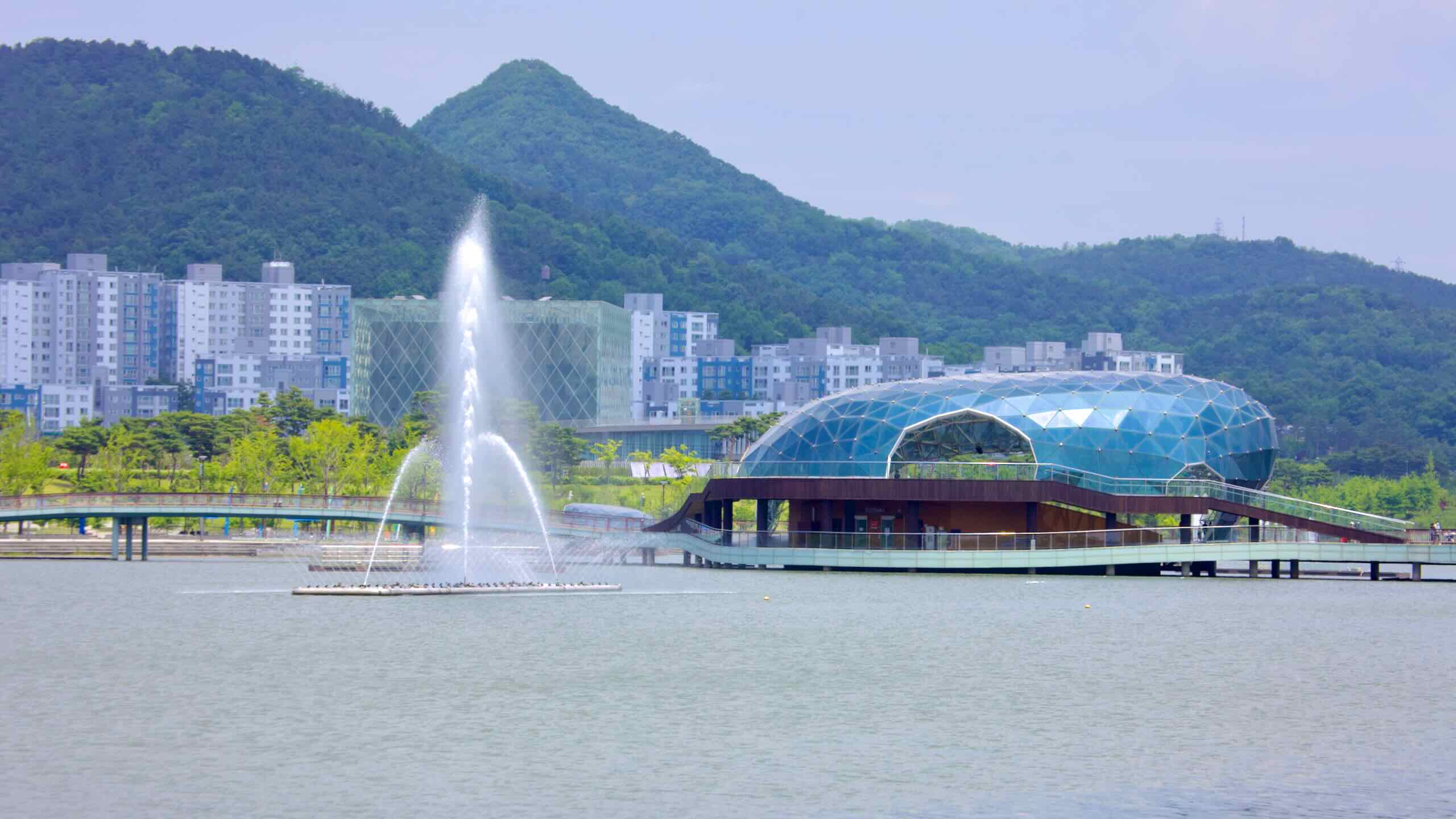
Stage Island dome with lake fountain and green hills beyond.
Sejong Lake Park is the centerpiece of Sejong City. Opened in 2013 and spanning 697,246 square meters, it is South Korea’s largest artificial lake. It was designed to offer recreation, education, and cultural experiences in an eco-friendly environment.
The park offers a network of trails, diverse ecosystems, and proximity to Sejong’s government and cultural landmarks, like the modern architecture of the Sejong National Library.
Long solar-roofed stretch of North Star Road casts patterned shade.
North Star Road, also known as Bukyuseong-daero, is an 8.78-kilometer road connecting Daejeon, Korea’s fifth largest city, and Sejong City, Korea’s second capitol.
Part of National Road No. 1 (국도 제1호선), it features a 4.6-kilometer dedicated bike path partially covered with overhead solar panels. This shaded path generates approximately 2,200 MWh of electricity annually—enough to power 600 households—while significantly reducing greenhouse gas emissions.
The fortress, originally constructed as a mud wall during Baekje’s reign, was later fortified with stone during the Joseon Dynasty, reflecting centuries of evolving military and administrative functions.
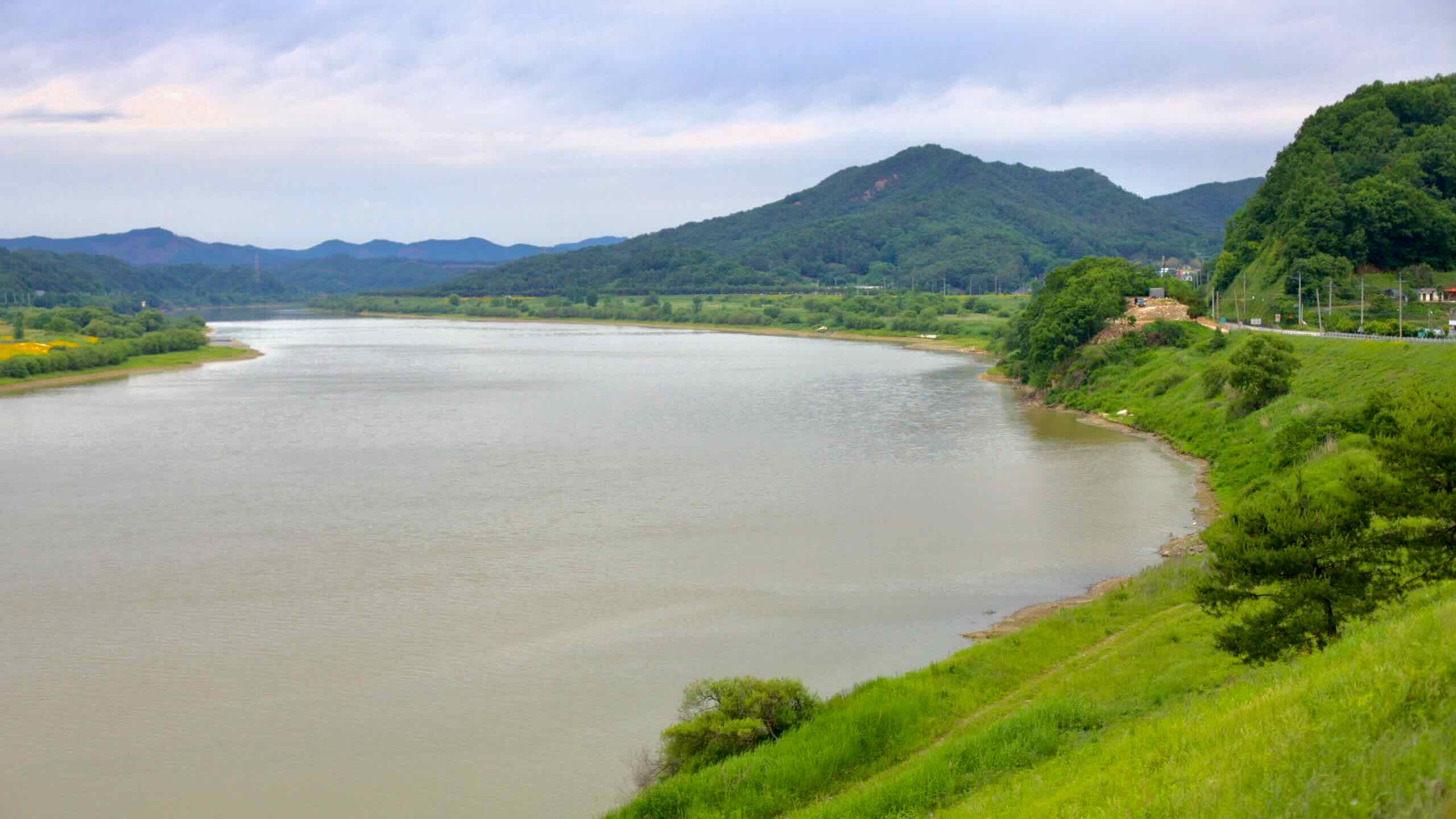
The Geum River’s route includes slow-moving upper reaches in the Noryeong Mountain Range and more gradual, meandering flows in its middle and lower sections. Its fertile plains have supported agricultural and urban development, and its waters remain essential for irrigation, drinking, and industrial use.
The river played a central role in Korea’s history, particularly during the Baekje (백제; 18 BCE ~ 660 ACE) and Silla Period (통일신라; 668 ~ 935) Kingdoms. The Baekje Kingdom, which moved its capital to Gongju and later Buyeo, utilized the Geum River for transportation, trade, and defense. The river served as a vital route for exchanges with China and Japan, cementing its role as a cultural and economic artery during the Three Kingdoms Period.
The Geumgang Bike Path begins (or ends) in Daejeon Metropolitan City. While Daejeon offers subways, bus terminals, and train stations, none connect directly to the starting point at Daecheong Dam. Reaching the start takes some planning—and a bit of pedaling.
Here’s a quick breakdown of how to get you and your bicycle to the Geumgang Bike Path:
Buses are often the easiest way to access Korea’s bike paths. That’s true for the end of the Geumgang route in Gunsan, where both express and intercity terminals sit just a few kilometers from the final stamp booth.
But for the starting point, it’s more complicated. Most bus terminals drop you far from Daecheong Dam. From there, you’ll need to ride anywhere from 20 to 30 kilometers to reach the path.
Daejeon’s single subway line doesn’t connect to the Geumgang Bike Path. But you can use it to reach the outskirts of the city, then pedal up a solar-roofed bike road into Sejong and downriver to the trail.
A handful of regional trains allow bikes—and one of them drops you within 7.5 kilometers of the starting line. If you can score a bike spot, this may be your easiest route to the dam.