
Gyeongbuk
Bicycle Path
Look! Up ahead. Hills and crabs.
The Gyeongbuk (East Coast) Bicycle Path (동해안자전거길 (경북); map) follows the shores of North Gyeongsang Province along the bottom half of the East Coast Route.
The cycling course includes steep hills, sunrise parks, and four bustling ports known for seafood.
Let’s explore!
Yeongdeok County
(영덕군)
8 hours
Uljin County
(울진군)

- Time 8 hrs 15 min (1~2 days)
- Length 121.8 km (76 miles)
- Elevation 94 m | 0 m (308 ft | 0 ft)
- Difficulty 🚲🚲🚲🚲
- Certifications Gyeongbuk, Grand Slam
Cycle down rocky coastlines, up hills, and by sunrise parks.
Pass by ancient pavilions, eco parks, and picturesque capes.
Read about the history of North Gyeongsang Province’s coast.
Learn about the sea on Korea’s east coast.
Read about the top highlights along the Gyeongbuk Bike Path.
How to get to the bike path with your bike.
Bike Path Overview
The Gyeongbuk Path forms the bottom half of the East Coast Route. It travels along the East Sea in North Gyeongsang Province (경상북도; map).
The Gyeongbuk Bike Path is shorter than the northern Gangwon Bike Path — 122 versus 225 kilometers. But it features several sudden and steep climbs.
Mixed between the bike path’s hills, discover a wealth of landmarks, including crab sculptures and fish bridges, hilltop pavilions, expansive beaches, and bustling seafood ports.
Let’s check the course, then look closer at the bike path’s hills and paths.
Namesake
The bike path’s name, “Gyeongbuk,” is an abbreviation of North Gyeongsang Province.
- “Gyeong,” (경상) refers to the “Gyeongsang Region.”
- “Buk” (북) means “North.”
Regions
Four districts make up North Gyeongsang Province’s coast:
- Pohang City (포항시; map)
- Gyeongju City (경주시; map)
- Yeongdeok County (영덕군; map)
- Uljin County (울진군; map)
The Gyeongbuk Bike Path only travels the top two counties — Yeongdeok and Uljin.
The Course
Unlike other bike paths, Gyeongbuk doesn’t start and end with certification centers (stamp booths). Yeongdeok’s southern border and Uljin’s northern border defined its endpoints.
Getting to the bottom of the bike path presents a challenge. So many begin south of the course in Pohang City. Or they skip the first 11 kilometers and start in Ganggu Port.
(You won’t miss the first certification center if you begin in Ganggu.)
Yeongdeok County
Commence the Gyeongbuk Bike Path in the outlying Bugyeong Port at the bottom of Yeongdeok County. Cycle north past a beach with a military museum and seaside park to Ganggu, the region’s largest port.
Continue north past villages to a resurrected sunrise park on a hilltop. Then tackle a series of steep climbs until you reach Chuksan, Yeongdeok’s second largest port. It features a bamboo blanketed mountain and lighthouse observatory.
From Chuksan, follow a wavy coast to the 8-kilometer long Goraebul Beach (a.k.a. “Whale Fire Beach”), one of the east coast’s most famed beaches.
Uljin County
The Uljin County section of the Gyeongbuk Bike Path starts at the bustling Hupo Port.
Begin by cycling north under a seaside mountain covered in highlights. Pass a crab sculpture park and land near a pair of ancient pavilions — Wolsong, surrounded by pine trees, and Daepung tucked behind houses in Gusan Port.
From Gusan Port, hop over back-to-back hills to Giseong Mangyang Beach, where you’ll find a second crab sculpture park. At the top of the beach, rest at the Mangyang Service Area, then continue up the coast and discover a collection of landmarks: another ancient pavilion, an expansive eco park with a cable car, and a bridge decorated with giant metallic fish.
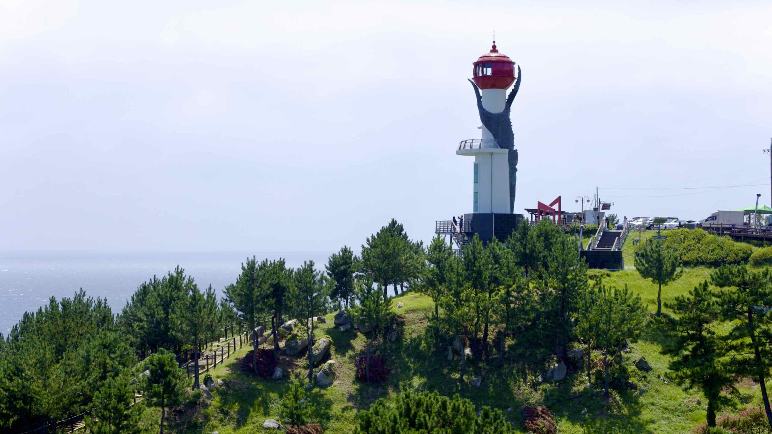
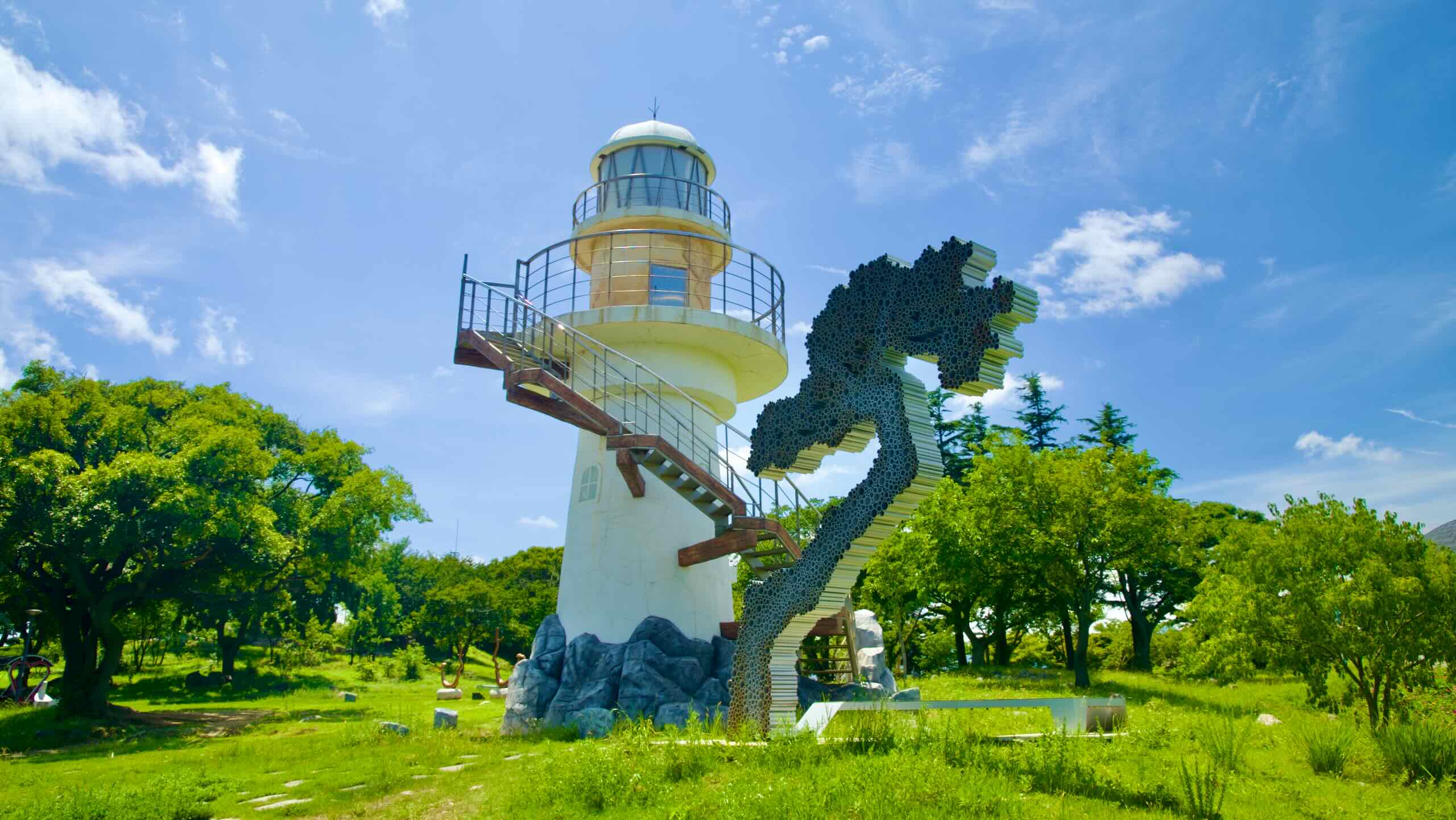
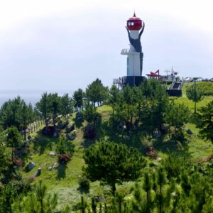
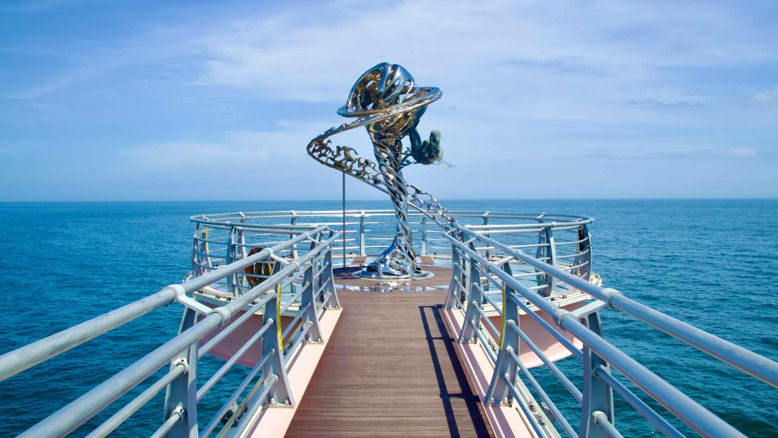
After detouring inland through downtown Uljin, rejoin the coast and meet one of the province’s most picturesque ports. Its “dragon tail” cape holds a lighthouse, monorail, and heart beach.
The Uljin County cycling course concludes at the remote Seokho Port, near Samcheok City’s border and 4.5 kilometers from the Gangwon Bike Path.

Municipalities
The Gyeongbuk Bike Path crosses one province and two counties. Here are brief breakdowns of each.
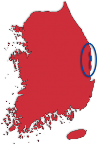
- North Gyeongsang Province (경상북도; map) is one half of the old Gyeongsang Province. The largest province by area, it birthed several famous leaders and scholars, like Yi Hwang (이황; ₩1,000 bill). The province’s most visited city is Gyeongju. Known as Korea’s open-air museum, the old Silla capital claims countless relics and museums.
- Yeongdeok County (영덕군; map) earns its fame for snow crabs, which thrive just offshore in the East Sea. The rural county offers the expansive Goraebul Beach, large ports, and seaside parks, which tourists visit to see the first sunrise on New Year’s.
- Uljin County (울진군; map), like Yeongdeok County, earns its reputation by catching and cooking up the best snow crabs in Korea. The district also owns many natural and historic sites, including a pair of ancient seaside pavilions, busy ports, and pristine eco parks.
Elevation
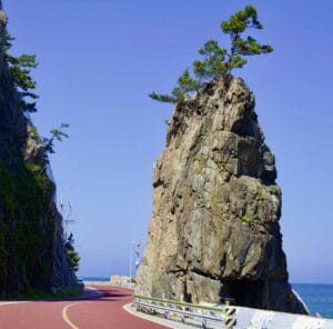
The Gyeongbuk Bike Path holds some of the toughest climbs on the East Coast Route. Both the Yeongdeok and Uljin sections offer stretches of challenging, back-to-back climbs.
While Gyeongbuk’s hills aren’t too tall — the highest ascent measures 94 meters — their gradients are Matterhorn-steep.
Sunrise Park to Gyeongjeong Port
The route from Sunrise Park to Gyeongjeong Port (map) in Yeongdeok is challenging. Within 8 kilometers, the course ascends three sharp summits (directions).
The first climb leads to Sunrise Park. The north and southward ascents are similar in length and steepness.
- Total Climb (northward): a 55-meter climb over 687 meters with an 8% average incline (directions).
- Total Climb (southward): a 46-meter climb over 577 meters with an 8% average incline (directions).
The second hill begins north of Nomul Port (map). The climbs in each direction are identical.
- Total Climb (northward): a 56-meter climb over 723 meters with a 7% average incline (directions).
- Total Climb (southward): a 55-meter climb over 770 meters with a 7% average incline (directions).
The third hill passes through Seokri Village (map). The southwards climb offers a greater challenge than the northward ascent (9% gradient vs. 6.5%).
- Total Climb (northward): an 85-meter climb over 1.3 kilometers with a 6.5% average incline (directions).
- Total Climb (southward): a 73-meter climb over 809 meters with a 9% average incline (directions)
Bike Path Types
The Gyeongbuk Bicycle Path doesn’t feature the cycling-only lanes of the Cross-Country Route or Western Routes. It travels mostly on rural coastal roads and a handful of other pavement.
Let’s break down each.
Certification
There are five certification centers on the Gyeongbuk (East Coast) Bicycle Path.
Collect all stamps and receive the Gyeongbuk (East Coast) Bike Path certification. The route counts towards the Grand Slam certification. There isn’t an East Coast certification.

Certification Centers
Here’s a complete list of certification centers along the Gyeongbuk (East Coast) Bike Path.
- Sunrise Park (해맞이공원 인증센터; map)
- Goraebul Beach (고래불해변 인증센터; map)
- Wolsongjeong (월송정 인증센터; map)
- Mangyang Service Area (망양휴게소 인증센터; map)
- Uljin Sweet Fish Bridge (울진은어다리 인증센터; map)
North Gyeongsang Province Coast
The Gyeongbuk Bike Path traverses the coast of North Gyeongsang Province (경상북도; map) on the East Sea. Sits in the country’s southeast, it was one half of Gyeongsang Province (경상도) from 1314 to 1896 CE.
Though Korea split Gyeongsang into north and south provinces, North Gyeongsang Province still accounts for 18.95% of South Korea’s total area, the second largest behind Gangwon Province. But, when Daegu became a self-governing metropolitan city in 1981, North Gyeongsang became the nation’s second least populated.
East Sea
The East Sea (Donghae; 동해; map), also known as the Sea of Japan, forms the eastern boundary of both North Gyeongsang Province and the Korean Peninsula.
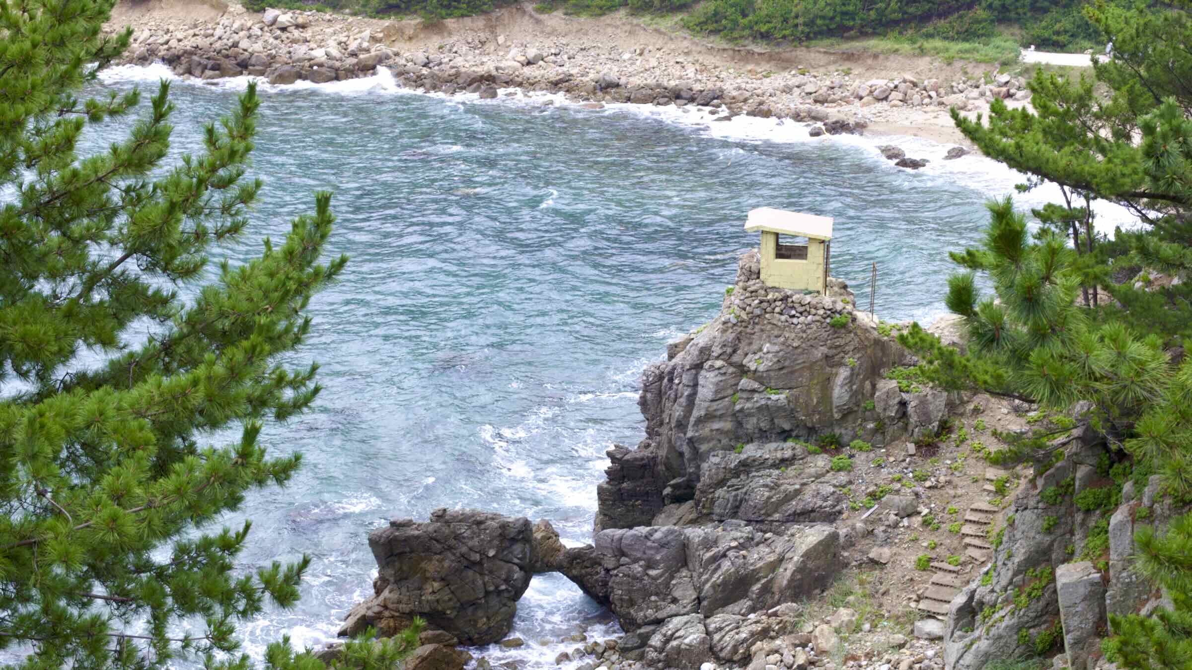
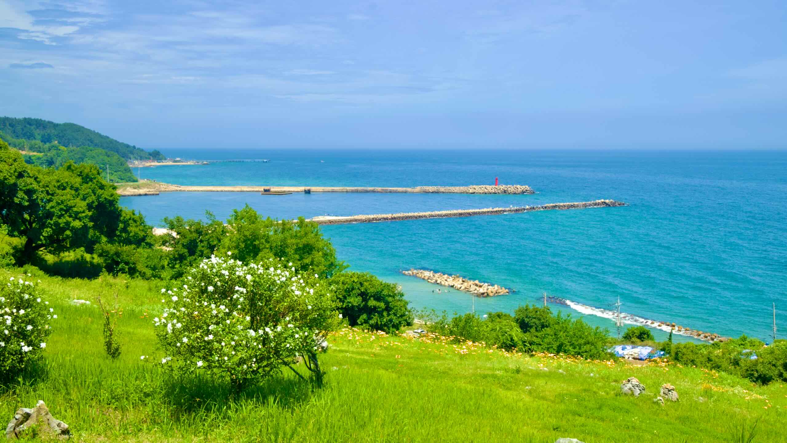
The East Sea has a handful of unique characteristics:
- It’s the deepest of the three bodies of water that surround the peninsula.
- Narrow straits effectively separate it from other bodies of water, including the Pacific.
- A relatively higher oxygen level produces abundant marine life.
The residents of North Gyeongsang Province’s coast depend on the East Sea’s bountiful fish and crustaceans for food and commerce.
Highlights
The Gyeongbuk Bicycle Path tracks the coastline of Yeongdeok and Uljin Counties on the nation’s east coast. It offers a plentiful selection of historic landmarks and bustling fishing ports.
Let’s explore!
Jangsa Beach (장사해변; map; aerial view) sits at the bottom of Yeongdeok, 16 kilometers south of the county’s main downtown.
Stroll to the south end of the beach. Find a sculpture with a soldier cutout and a museum modeled after a WWII-era landing craft moored permanently to the beach’s shore.
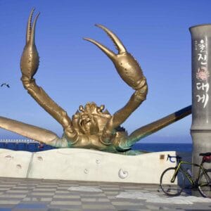
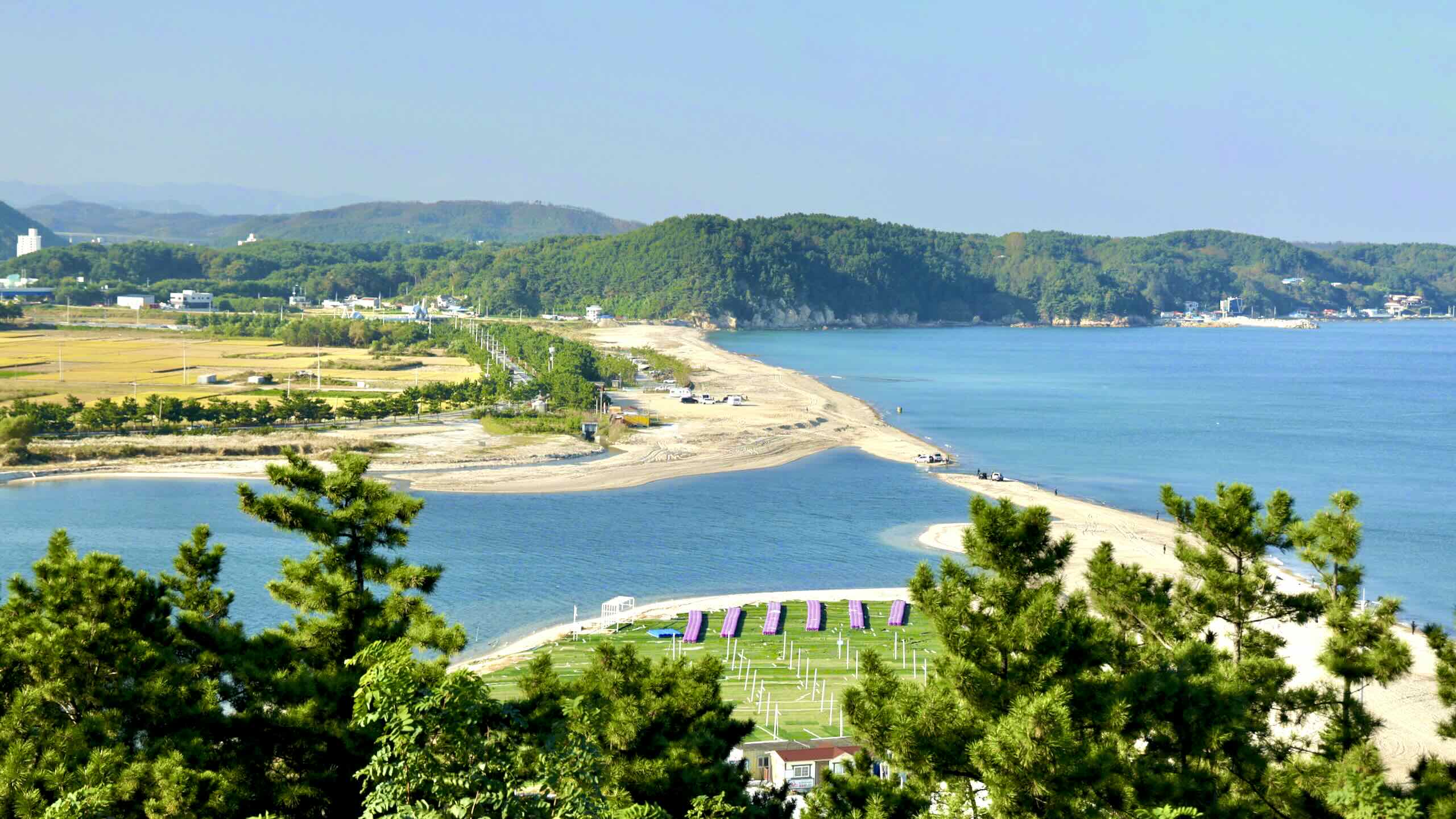
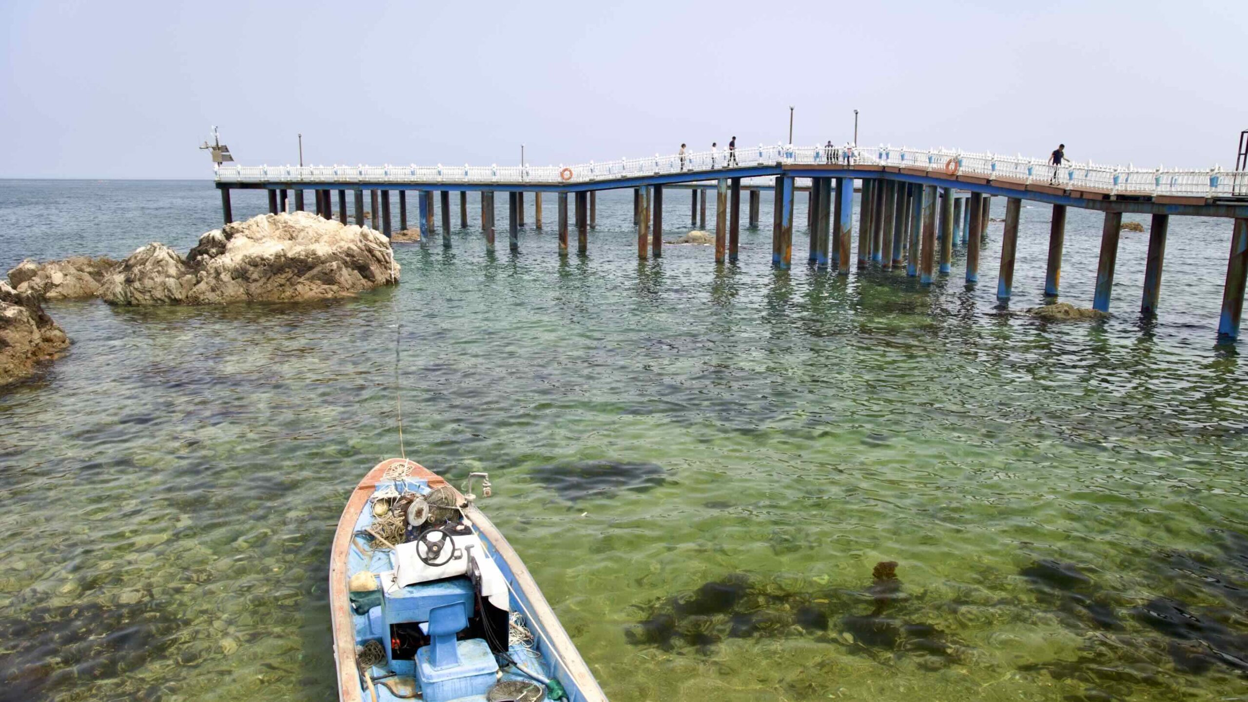
Ganggu Port (강구항; map; aerial view) is the largest port in Yeongdeok County. Ride into town and you’ll notice the port’s most famous product, snow crabs, everywhere. Giant snow crab sculptures plastered on restaurants, attached to bridge masts, standing in local parks.
Sunrise Park (해맞이공원; map; aerial view) was once a dense, pine forest on a hillside overlooking the East Sea in Changpo Village (창포리; map), Yeongdeok County. In 1997, a massive forest fire tore through the area and devastated the natural environment.
How To Get There
The Gyeongbuk (East Coast) Bike Path crawls along North Gyeongsang Province’s coastline.
Local trains don’t accept full-size bikes. The nearest subway line is hundreds of kilometers south in Busan. Then you only have one option to get to the cycling path:
Intercity Bus
The Gyeongbuk Bike Path isn’t like other certification bike paths, which mark their endpoints with certification centers (stamp booths). The borders of Yeongdeok County and Uljin County define the Gyeongbuk Bike Path’s start and finish lines.
No major town lives on these boundaries. Getting to them presents a challenge.
The Start
Want to begin the Gyeongbuk Bike Path at its southern start line? You’ll need to get to Buyeong Port (부경항; map), which lies on Yeongdeok County’s southern border with Pohang City.
Two negatives:
- Buyeong Port doesn’t have an intercity bus terminal or bus stop.
- The nearest intercity bus waypoints are: