This last section of the Hangang Bicycle Path in Seoul covers 16 kilometers (directions) and traverses two of Seoul’s eastern satellite cities: Guri and Namyangju.
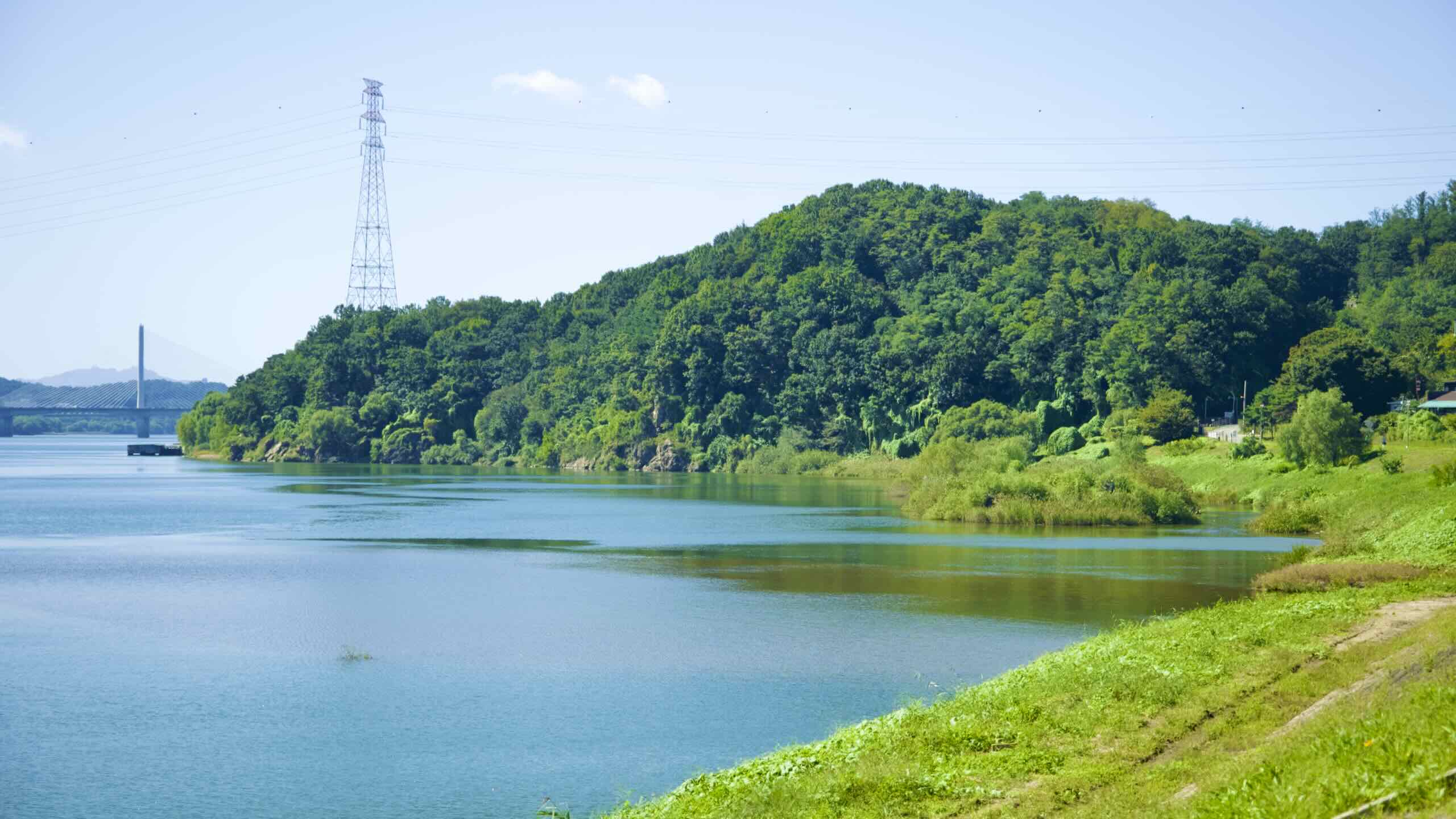
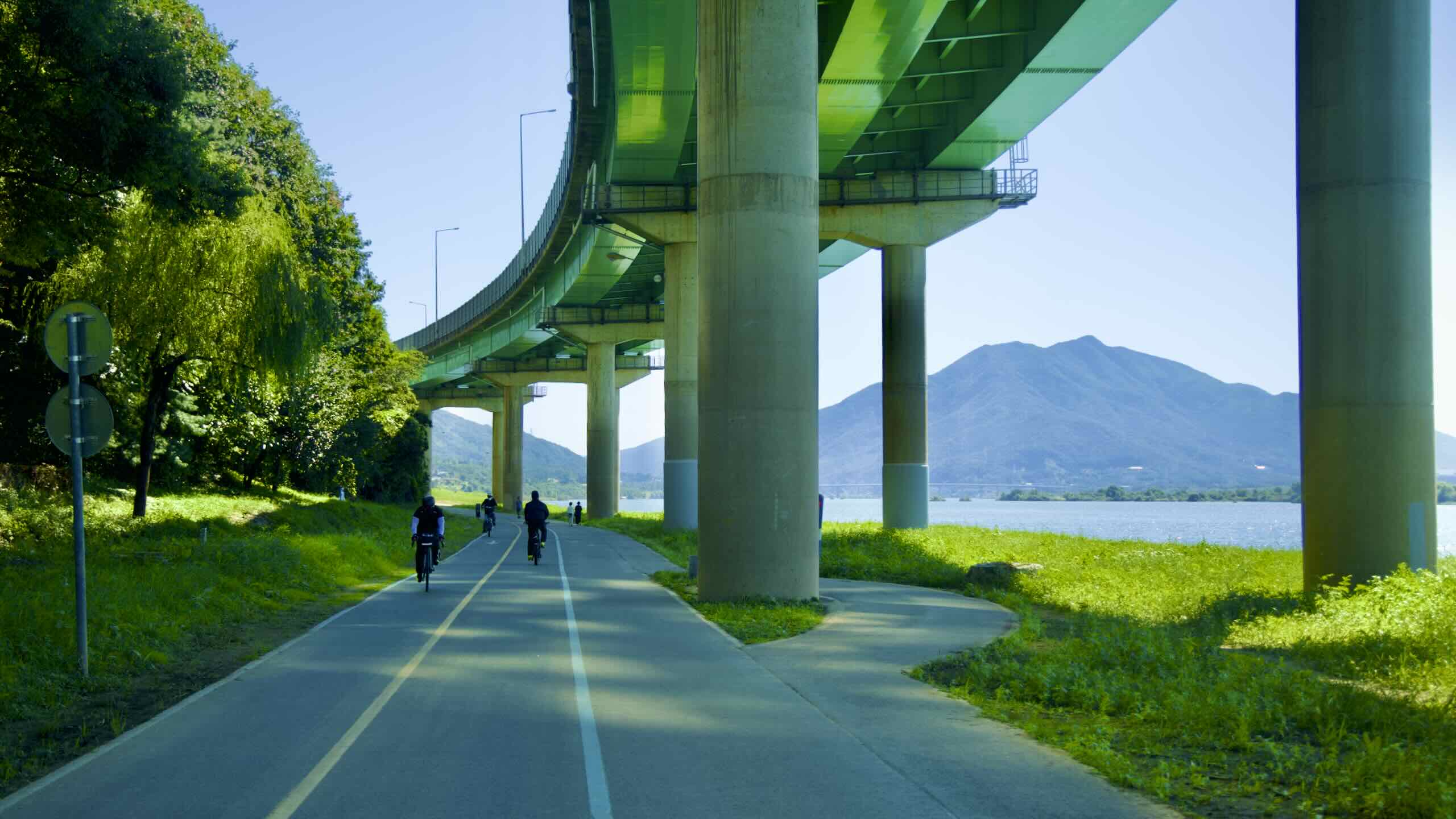
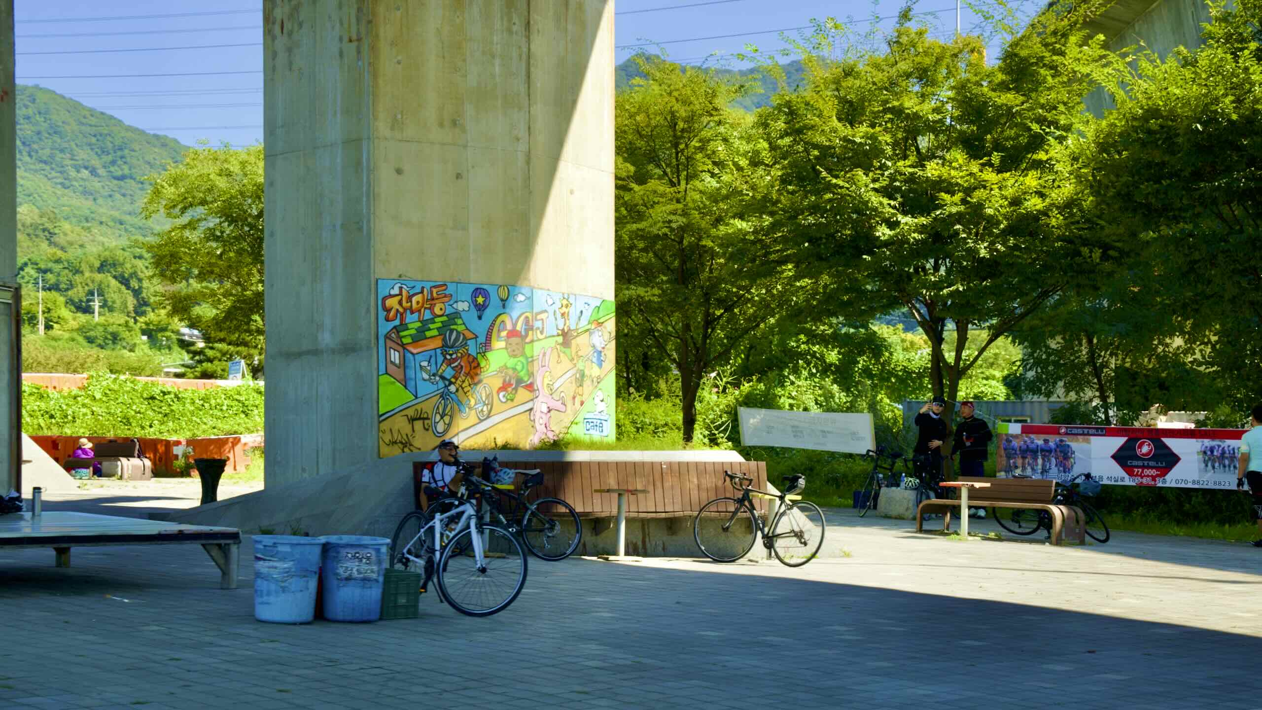
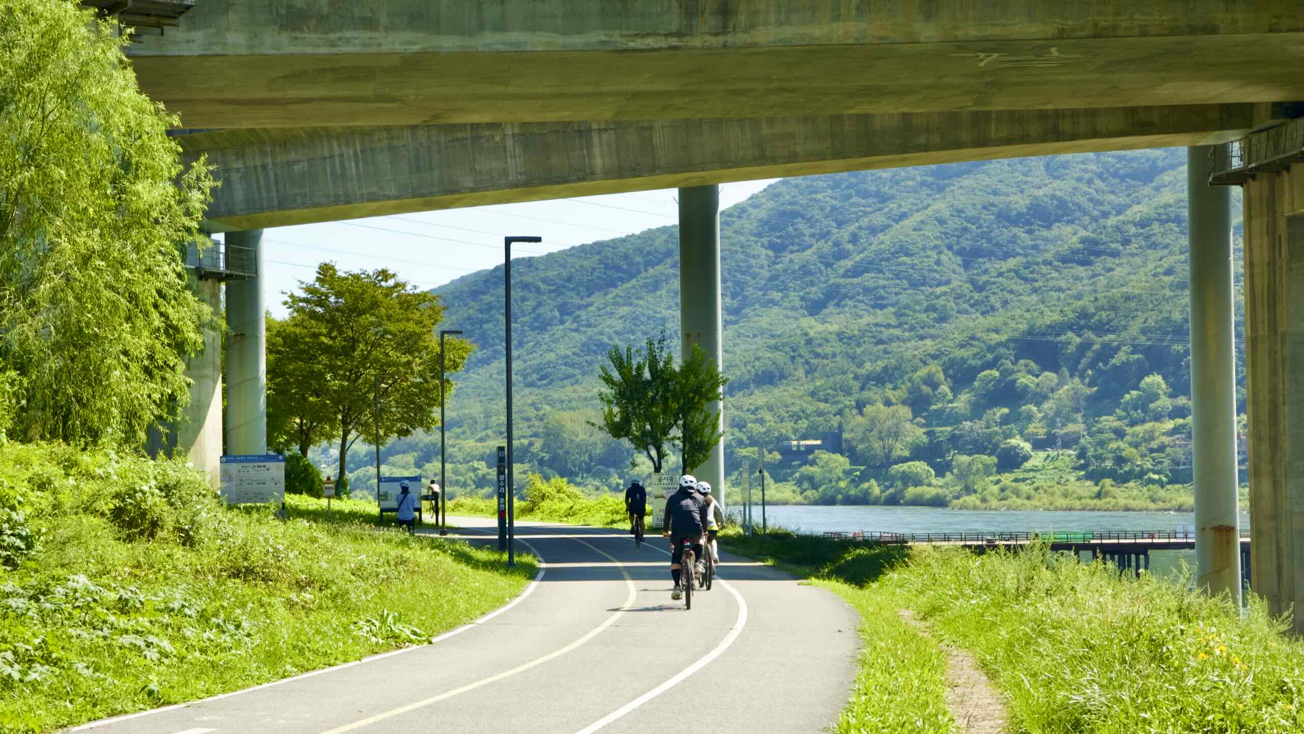
Cycle below the Gangbyeon Expressway, then pop out beside Mount Acha (아차산; map; aerial view). Rising 295 meters, the mountain holds the remains of Acha Fortress (아차산성; map).
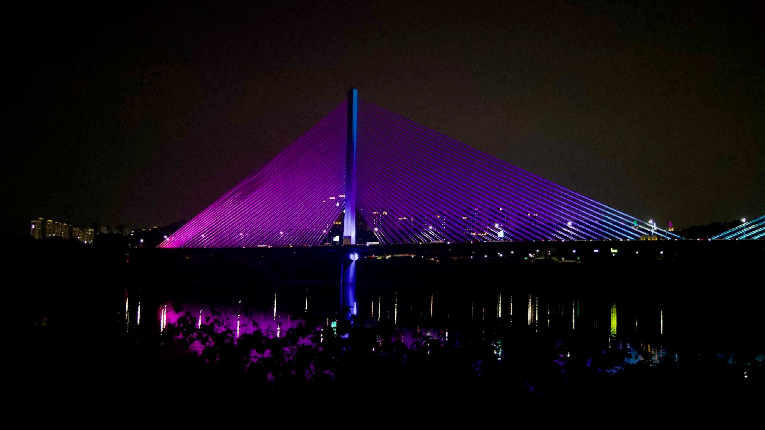
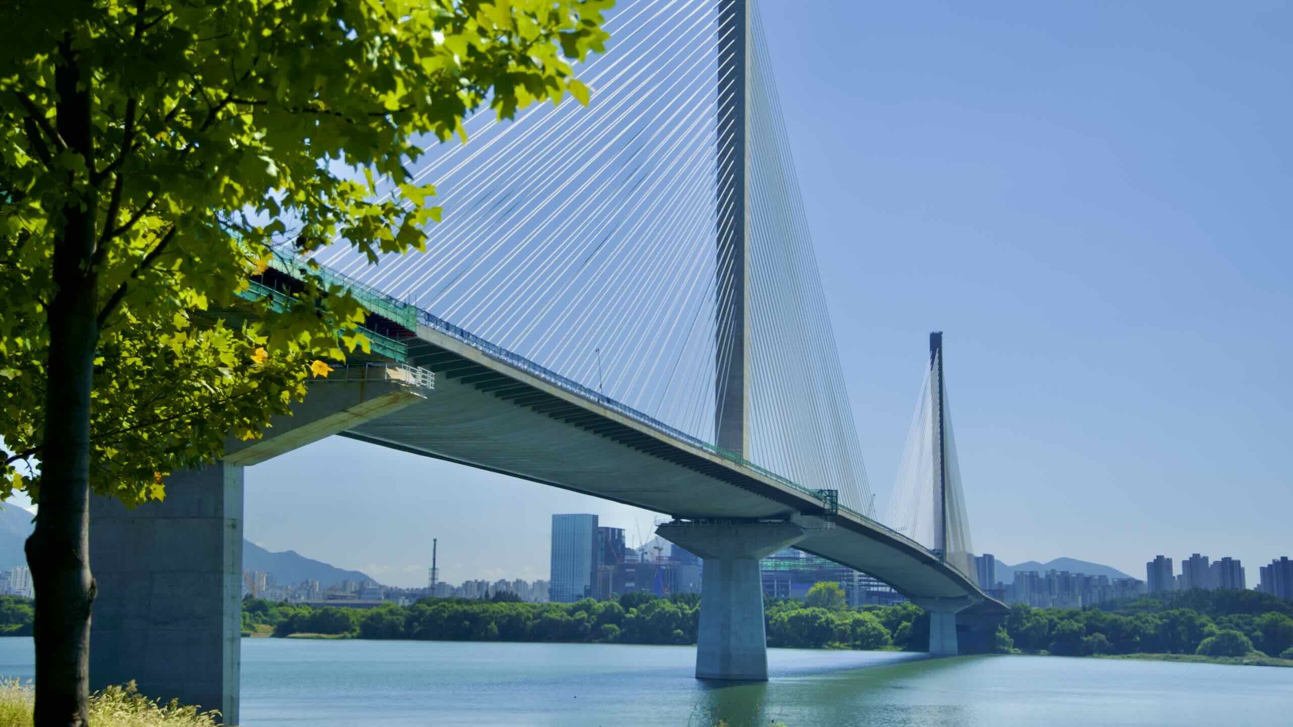
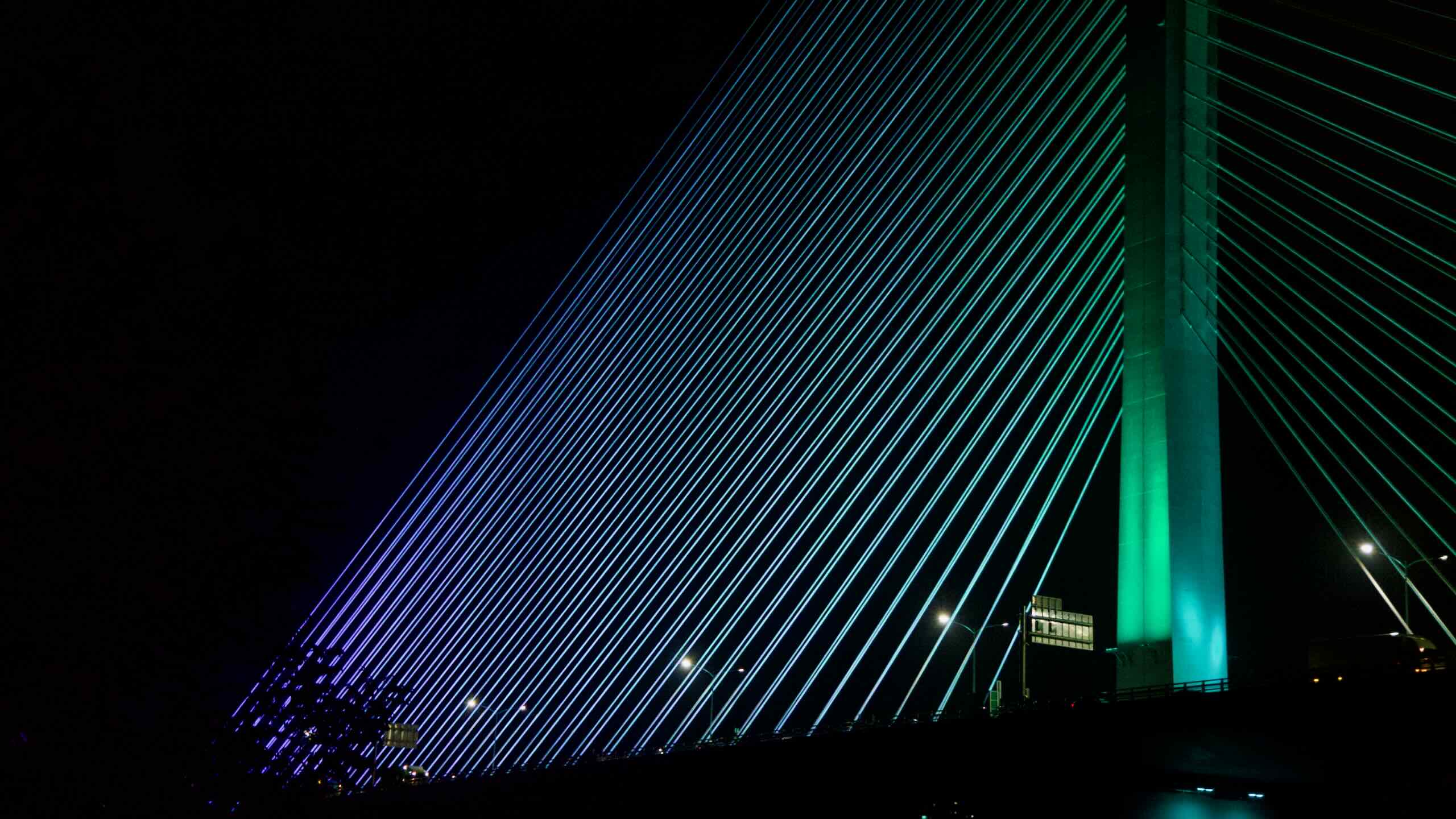
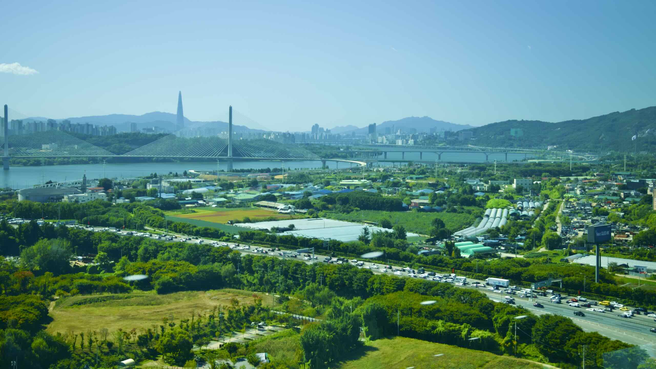
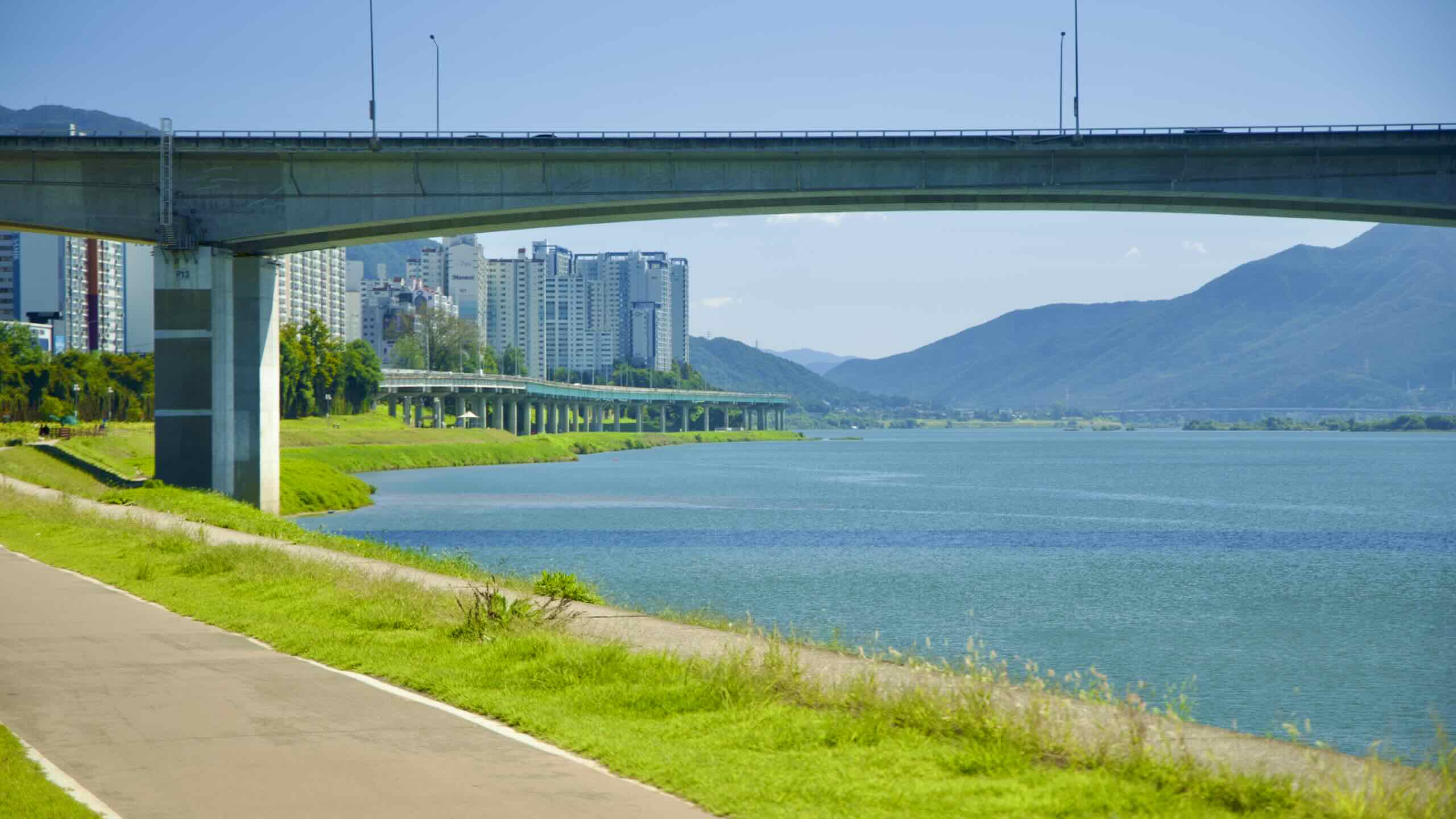
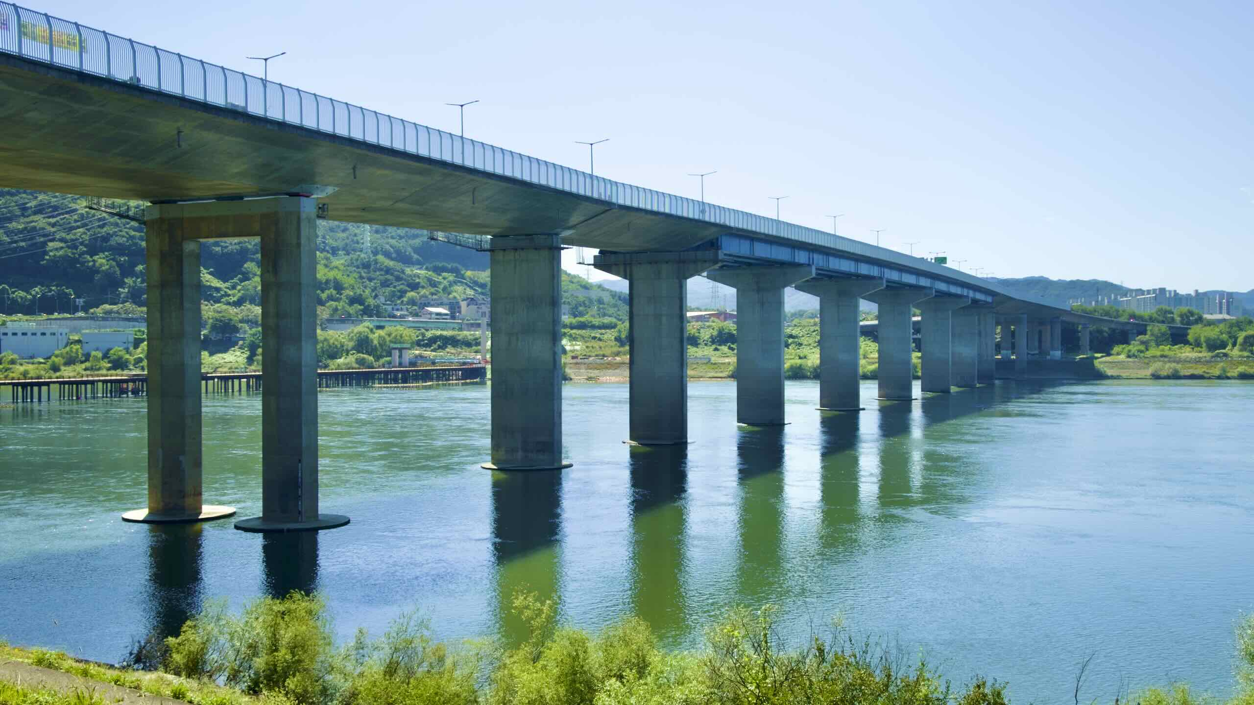
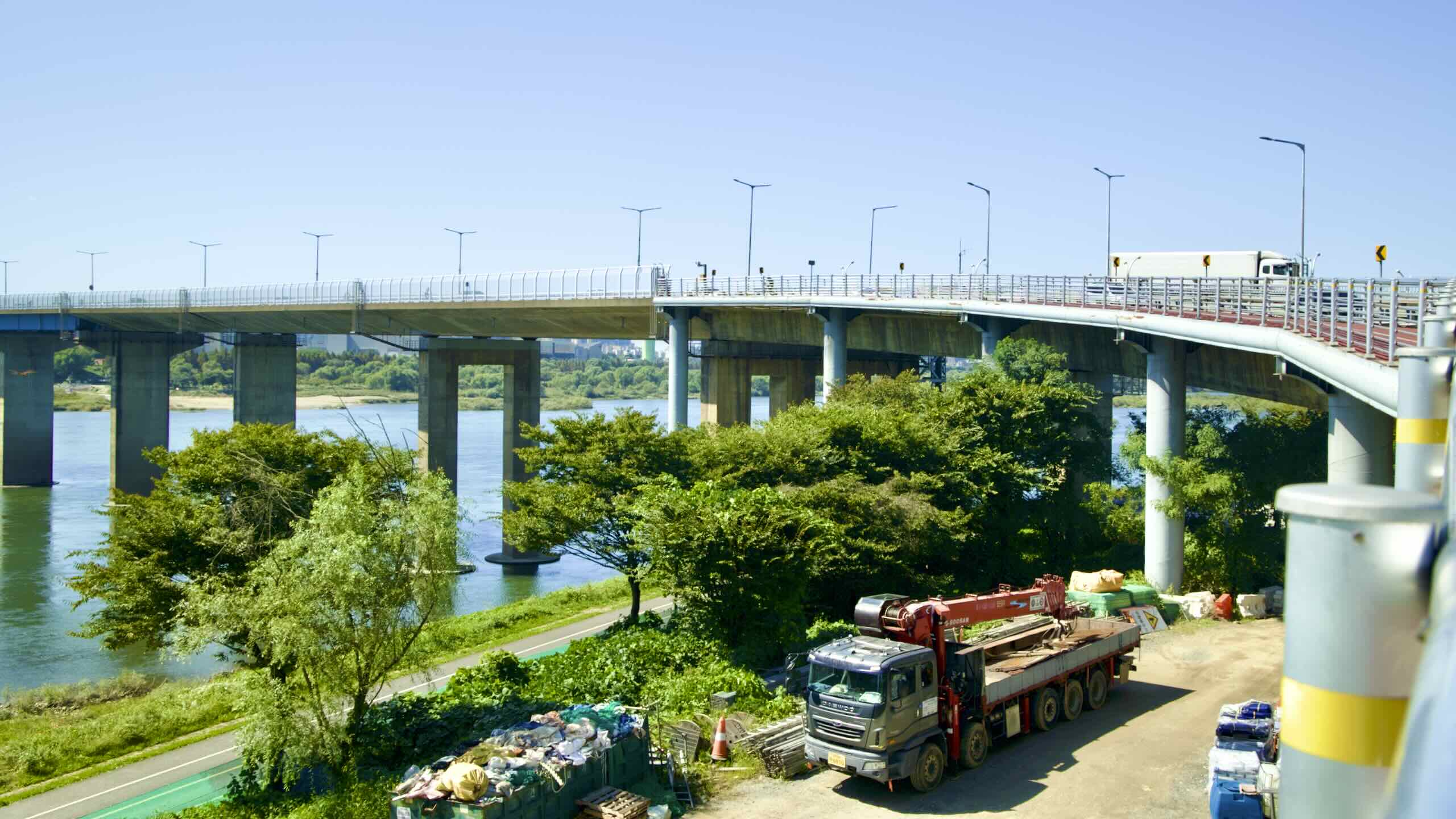
Just ahead, find concrete towers fanning cables over the Han River. They support Godeok Grand Bridge (고덕대교; map). When completed in 2024, it became the world’s longest cable-stayed bridge, with a supported span of 540 meters. The bridge holds six lanes along the Sejong Pocheon Expressway, connecting Seoul’s Gangdong District with Guri City in the north.
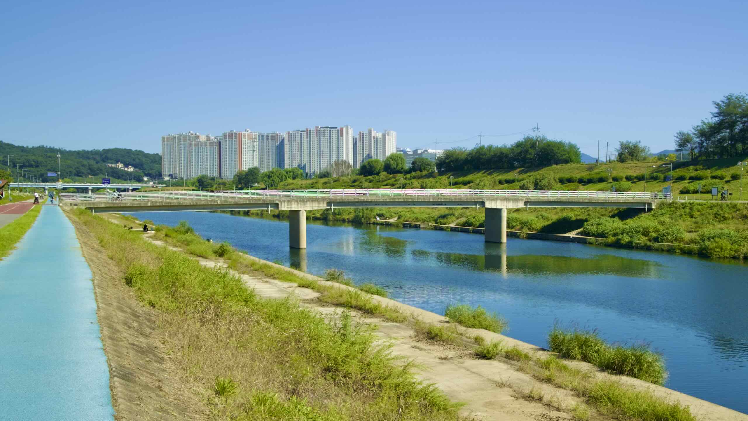
Beyond Guri Han River Park, dip under Gangdong Bridge (강동대교; map; impossible to cross) and meet the head of Wangsuk Stream (왕숙천; map). The stream marks the border between Guri City from Namyangju City.
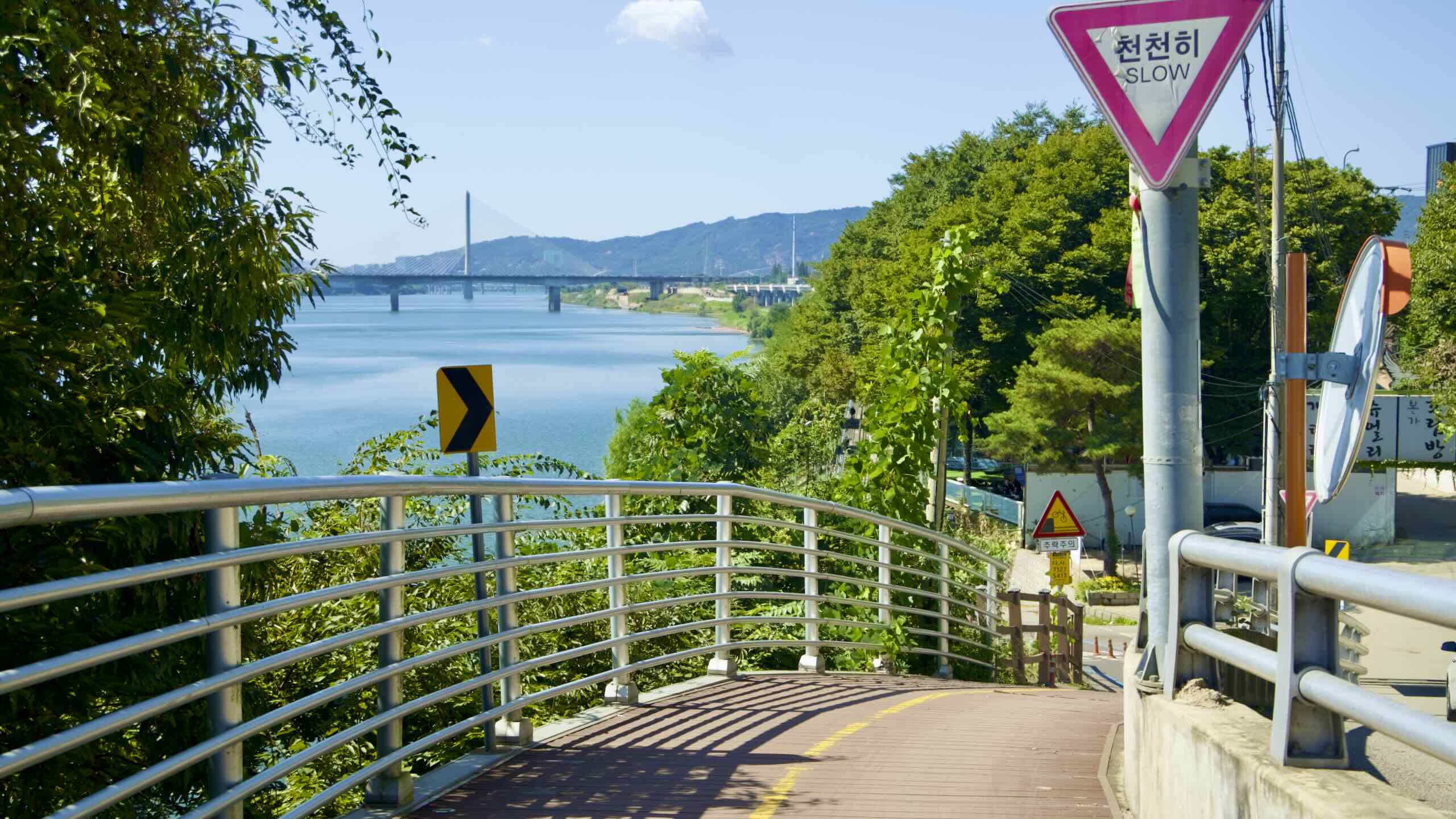
The bike path slides up Wangsuk Stream, then crosses the waterway on a low pedestrian bridge (map; road view).
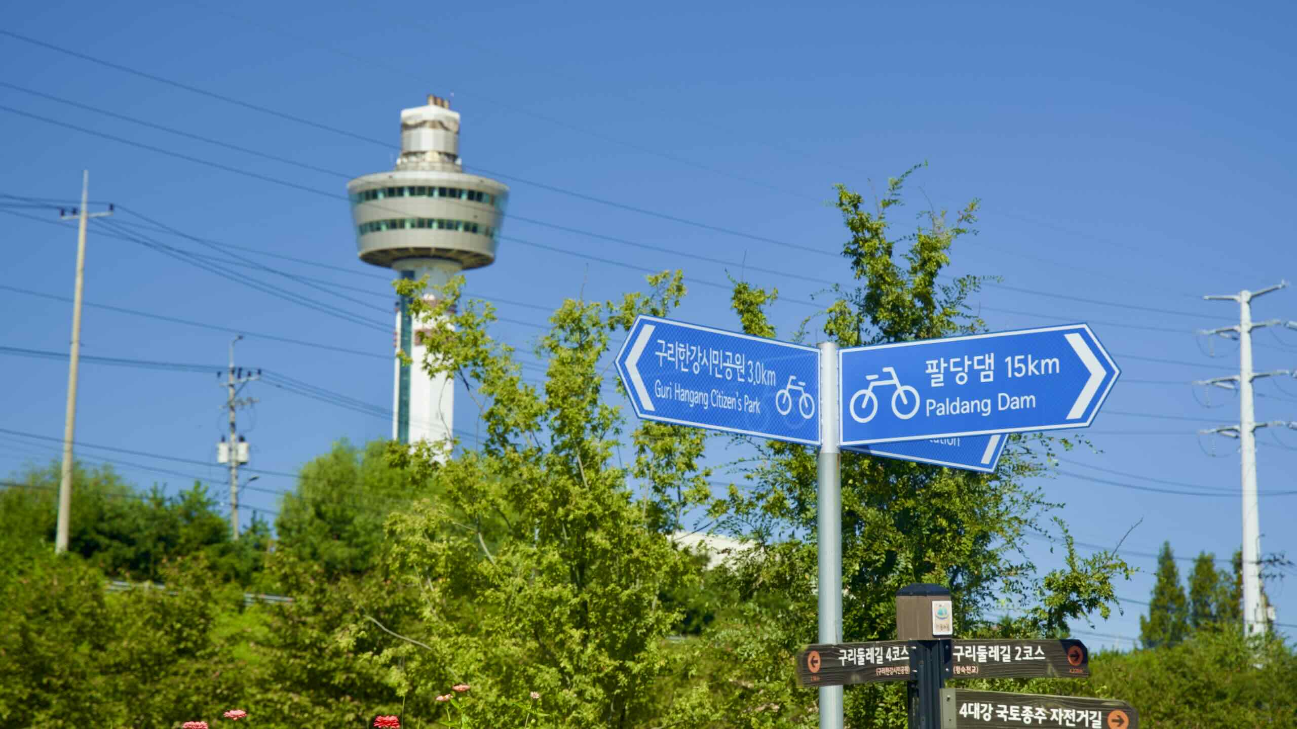
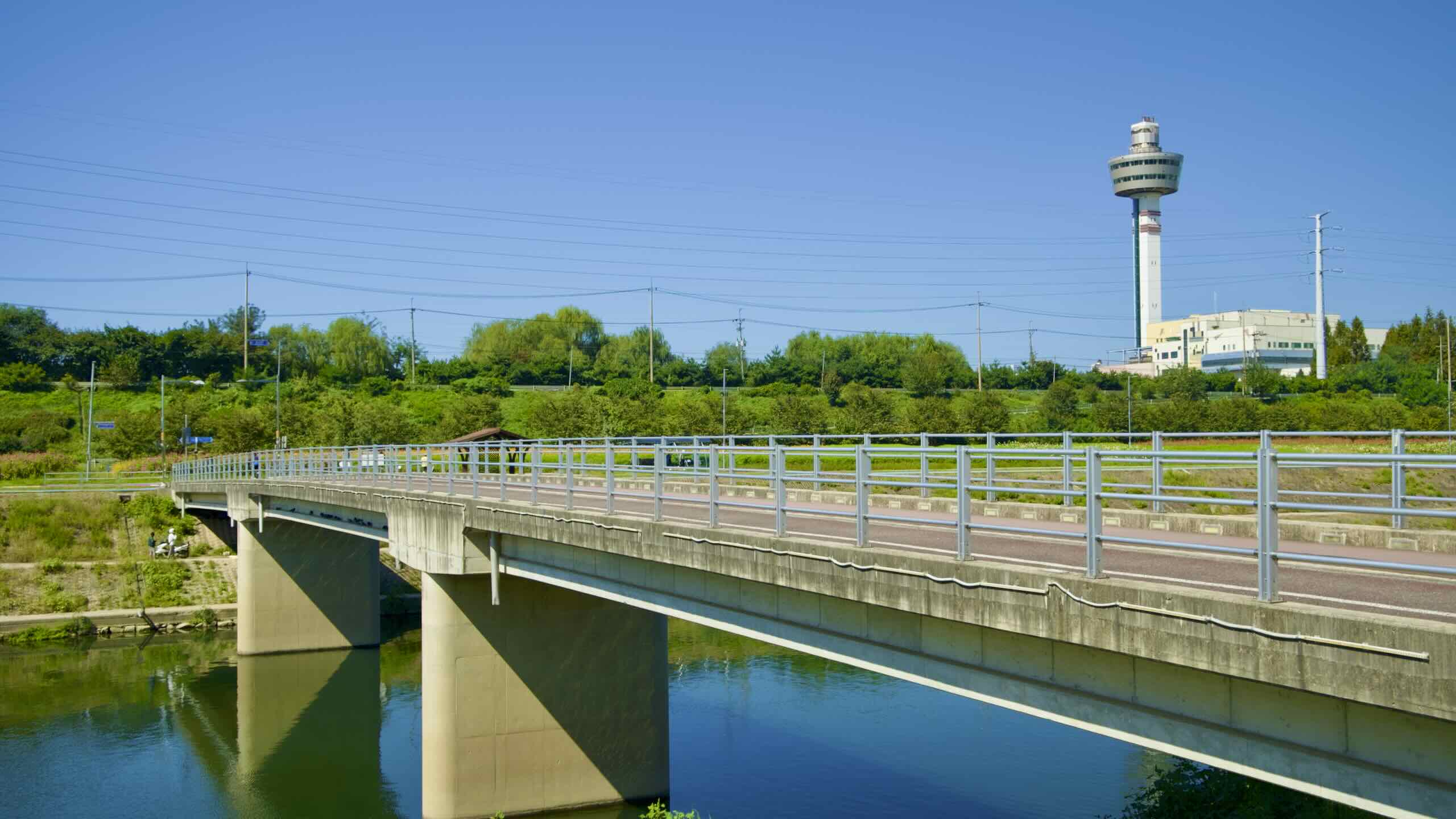
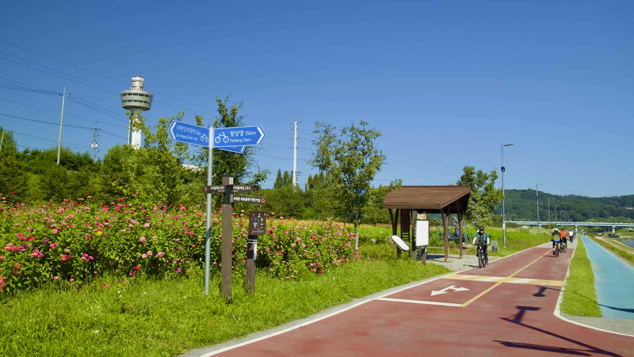
Don’t cross Wangsuk Stream just yet. Glance left over Wangsuk Stream’s western embankment. Spot Guri Tower (구리타워; map) standing tall over the treetops.
Guri Tower ain’t your normal 100 meter tall spire. In winter, you may glimpse steam puffing from the top. Yep, the tower is a colossal exhaust pipe. It exhales scrubbed smoke from the Guri Resource Recovery Center (구리자원회수시설; map). The resource recovery center is an incinerator under the tower that torches over 140-tons of garbage every day from the metropolitan region.
Those rows of windows wrapped around Guri Tower’s top are an observation deck and restaurant.
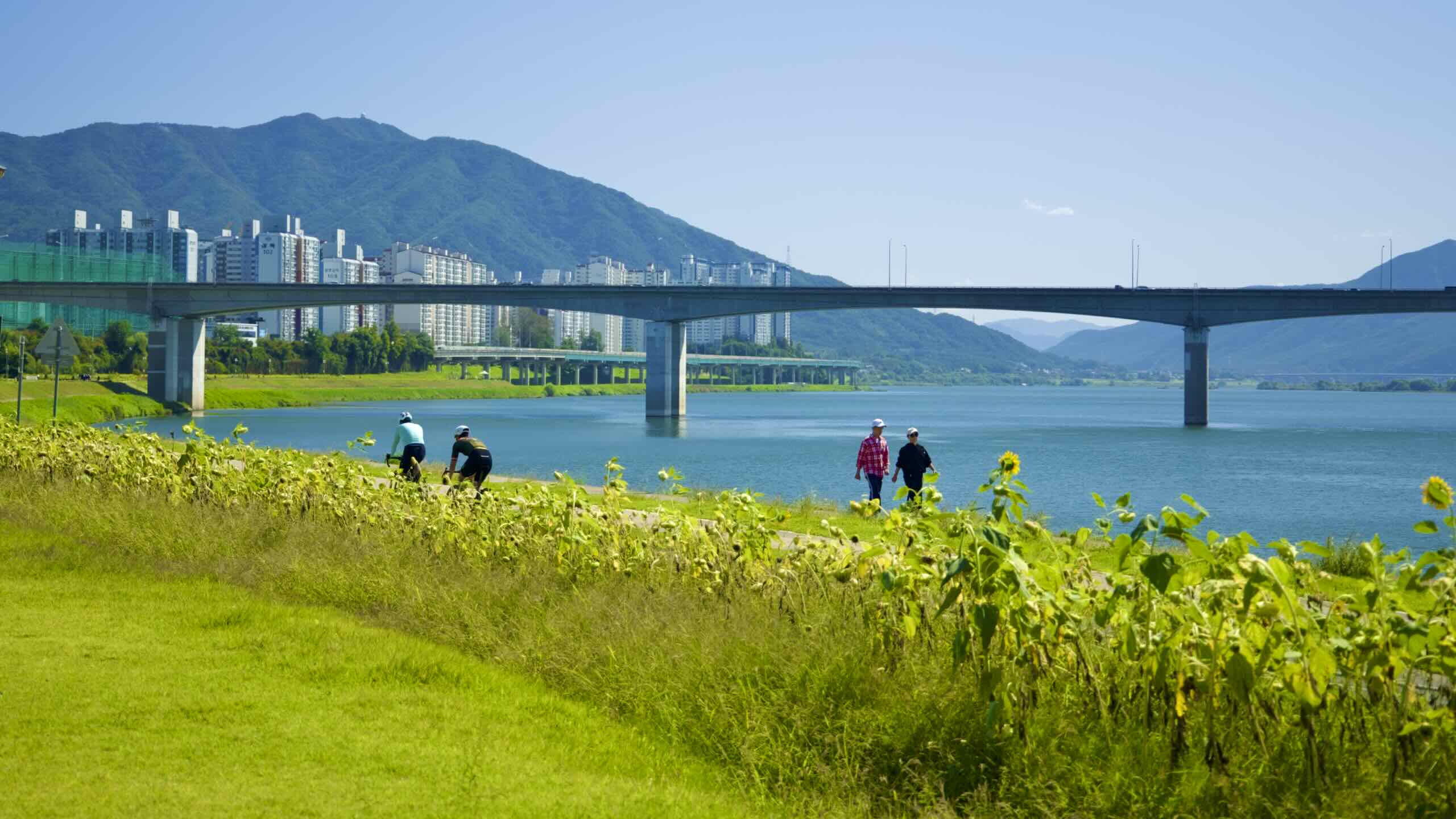
Hang a right and follow the bike path back to the Han River, and swing into a riverside sports park.
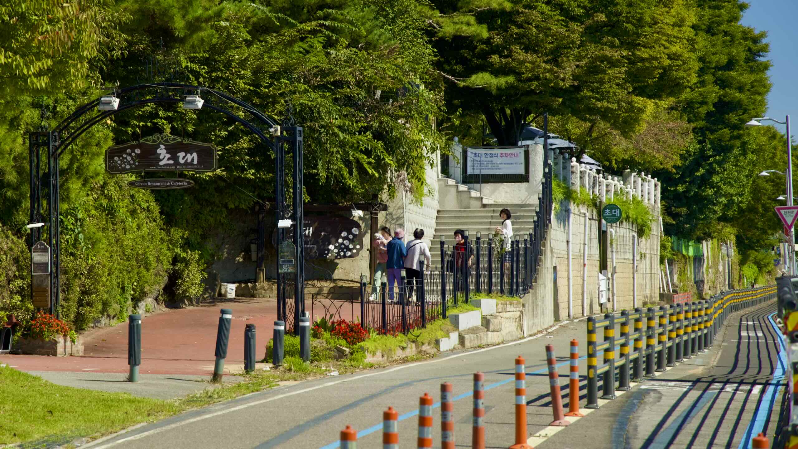
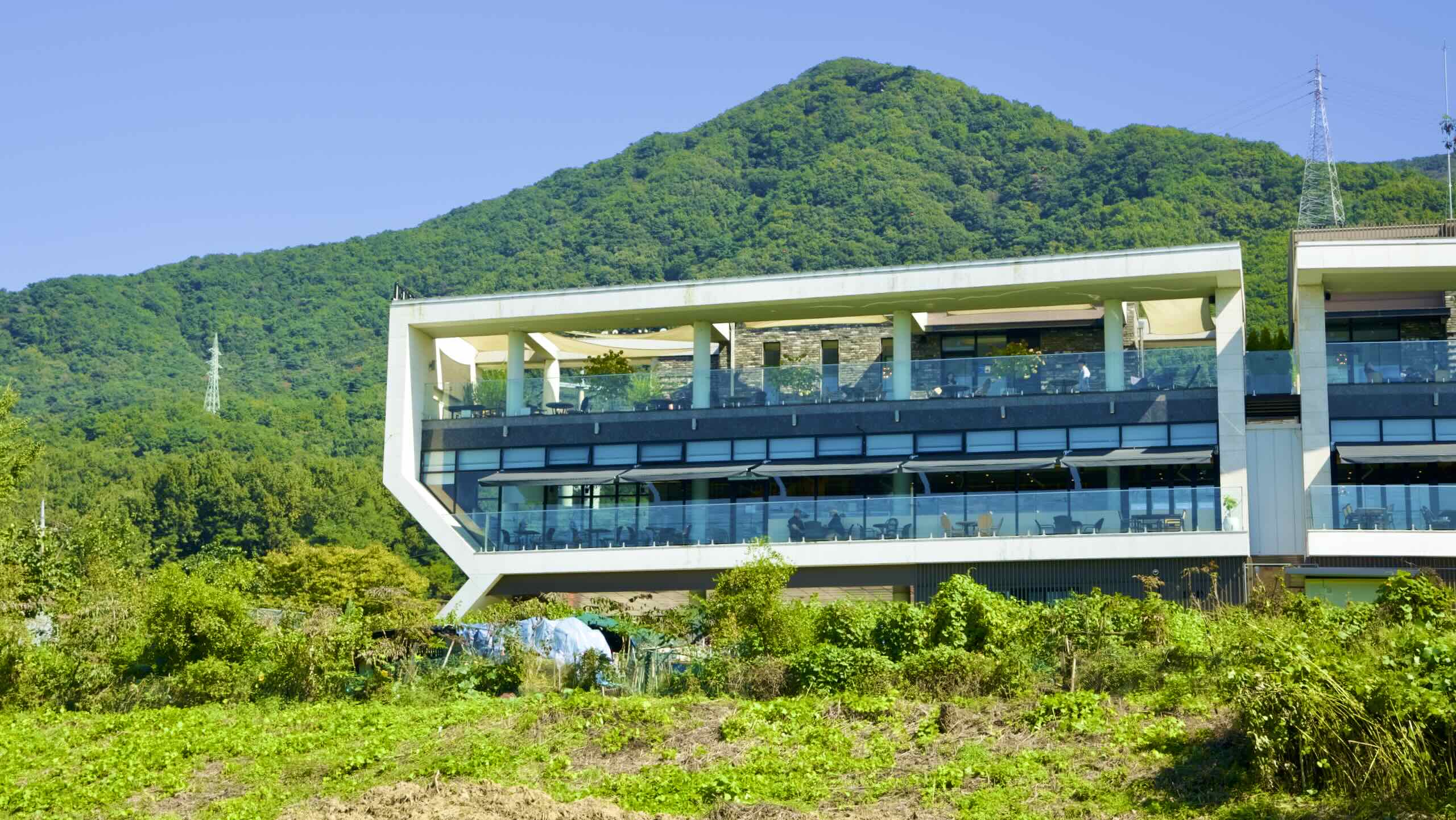
Thirsty? Hungry? You’re in luck. The hills lining the park’s east end feature cafes (map) and restaurants (map) serving everything from traditional meals to table d’hôte dining experiences.
If you’re weary, pause a moment to refuel. Just beyond the fancy eateries lies the most challenging section of Seoul’s North Side bike path.
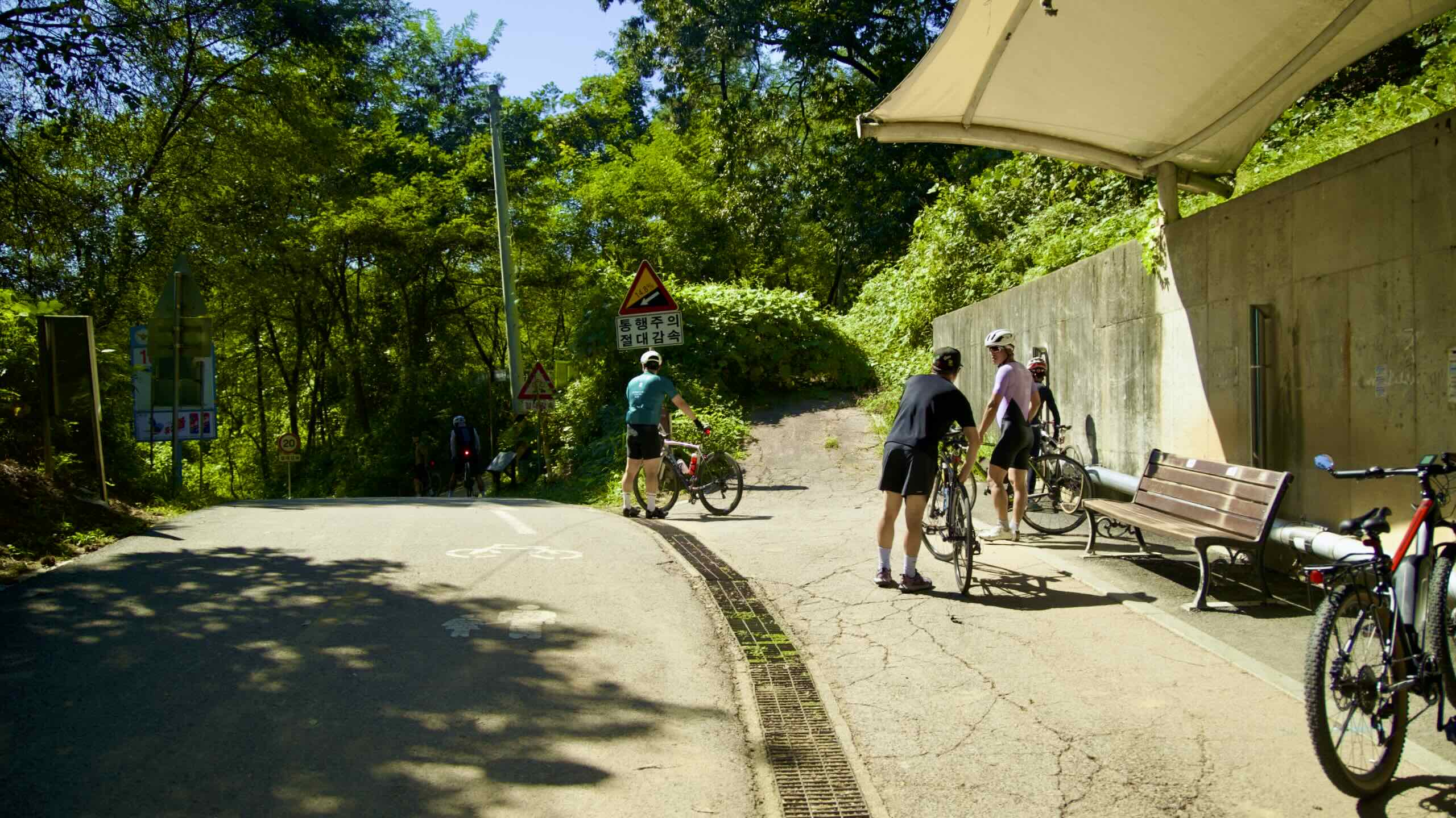
Mieumnaru Pass
Most of Seoul’s north and south side Han River bike paths cruise along flat terrain. No hills to challenge your hammies or glutes. Until now…
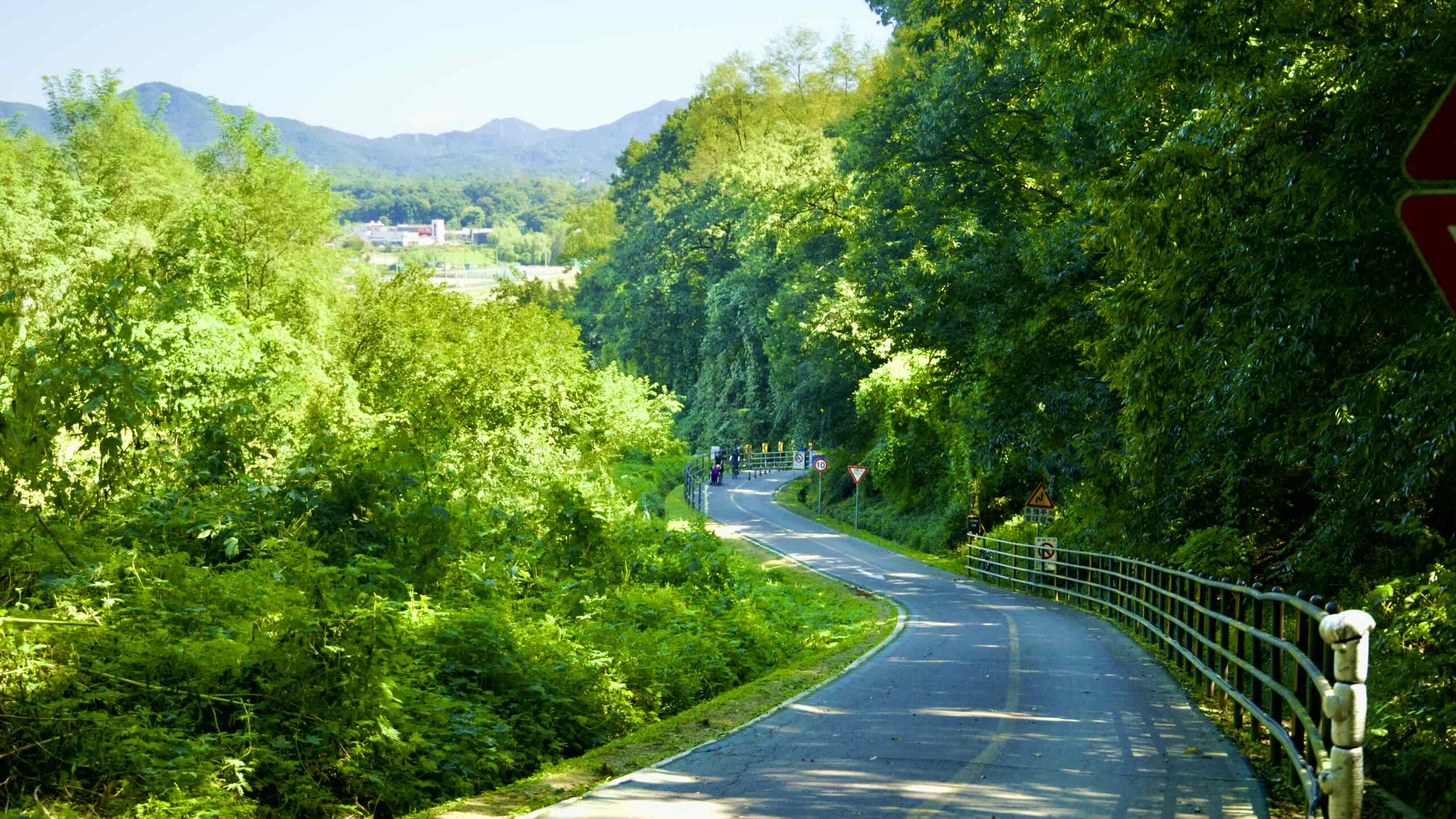
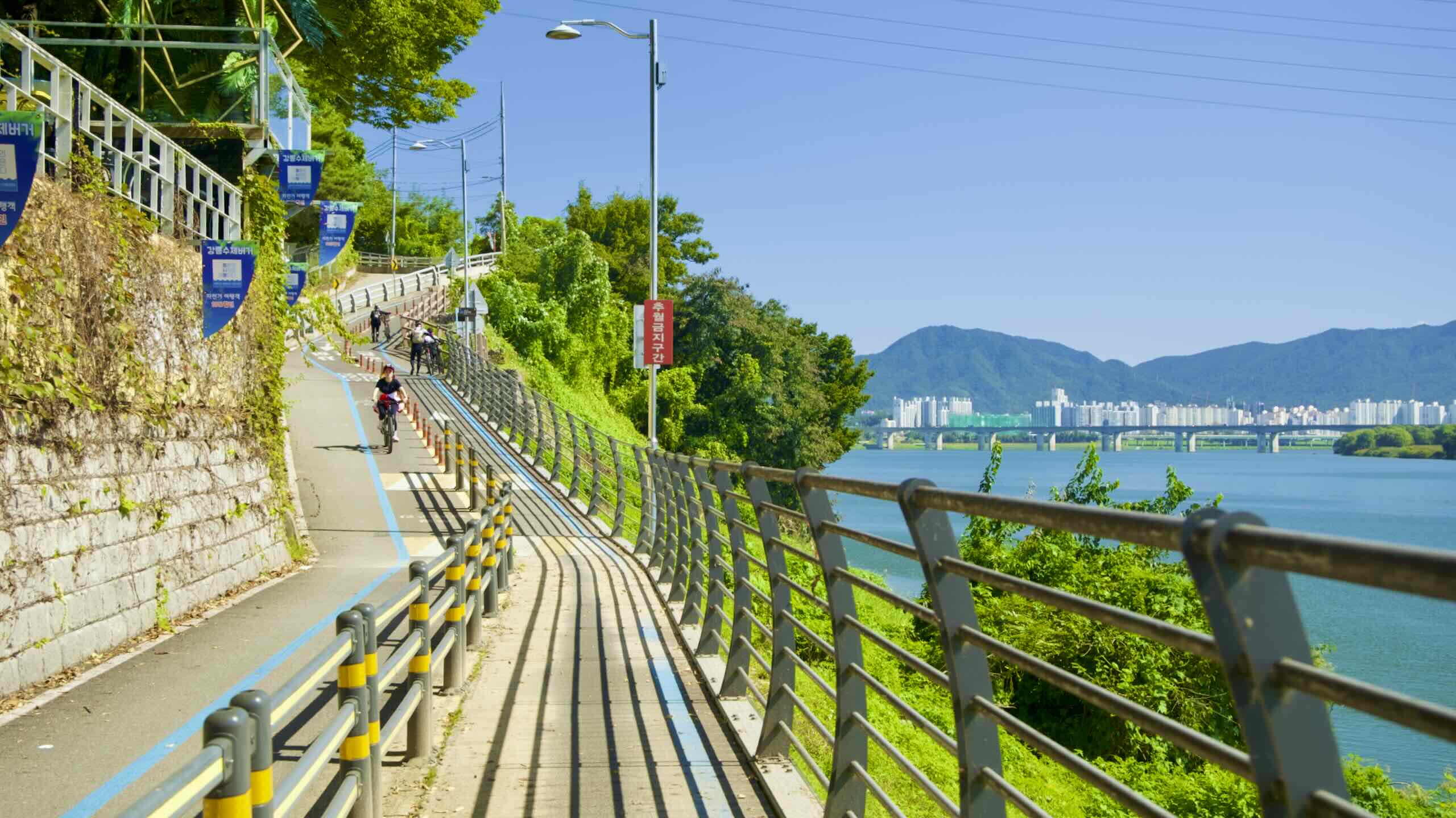
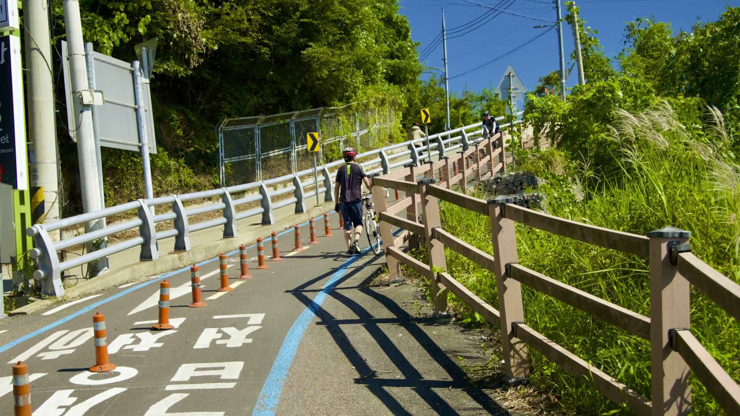
Mieumnaru Pass is like Amsa Pass on the Han River’s South Side. They feature steep climbs that will challenge your legs and lungs. But they offer key differences.
The Amsa Pass travels along a congested city road. It doesn’t offer high-angle views and features a mix of inexperienced and speed-hungry cyclists.
The Mieumnaru Pass is more relaxed. Its summit features hilltop cafes, restaurants, and sleepy farm roads. You can find plenty of rest areas and several spots to gaze out over the Han River.
Just remember to stay safe. Feather your brakes to slow your descent. And monitor the traffic. Though the Mieumnaru Pass is less busy than the Amsa Pass, cyclists can clog its lanes on sunny days.
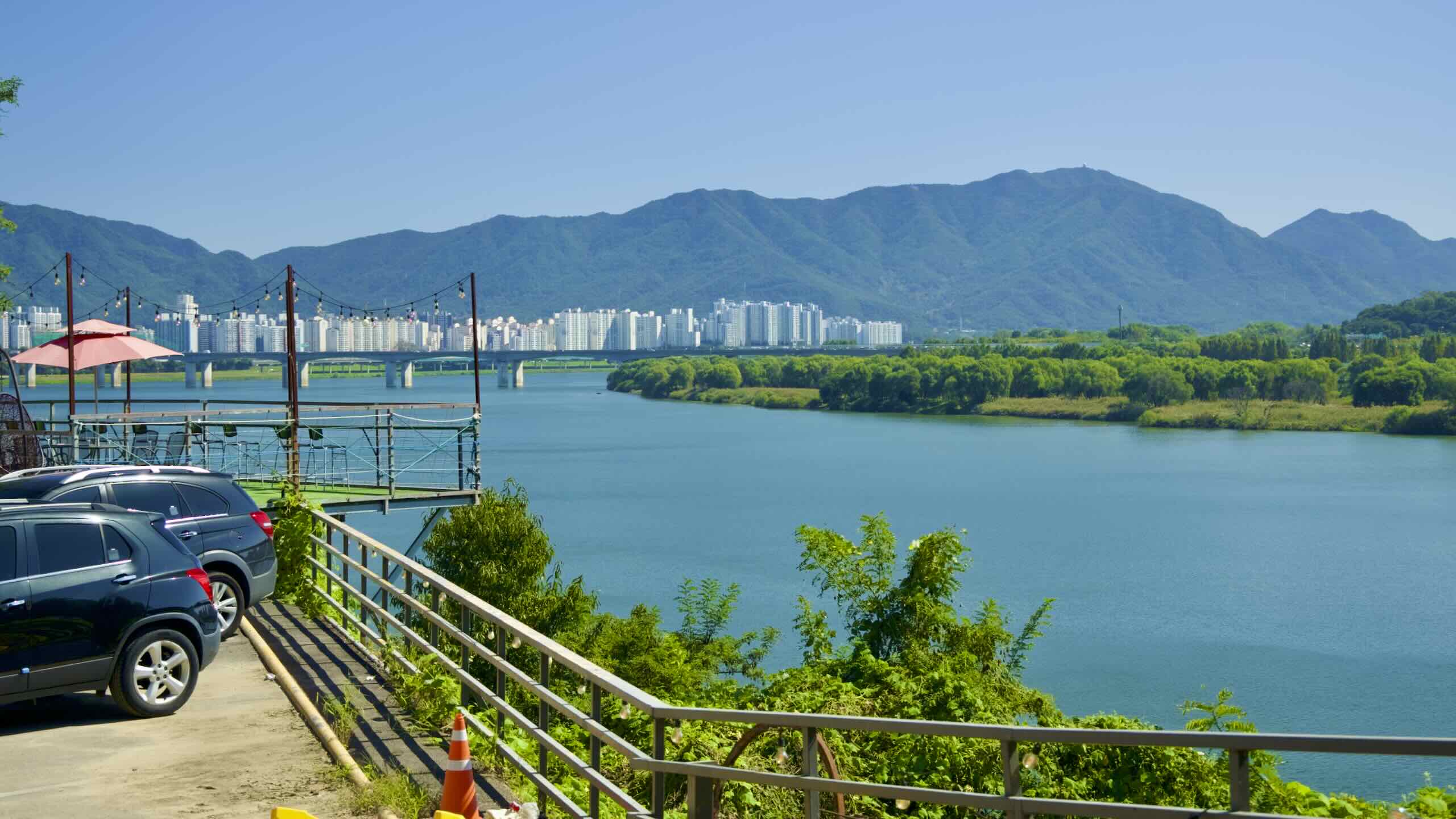
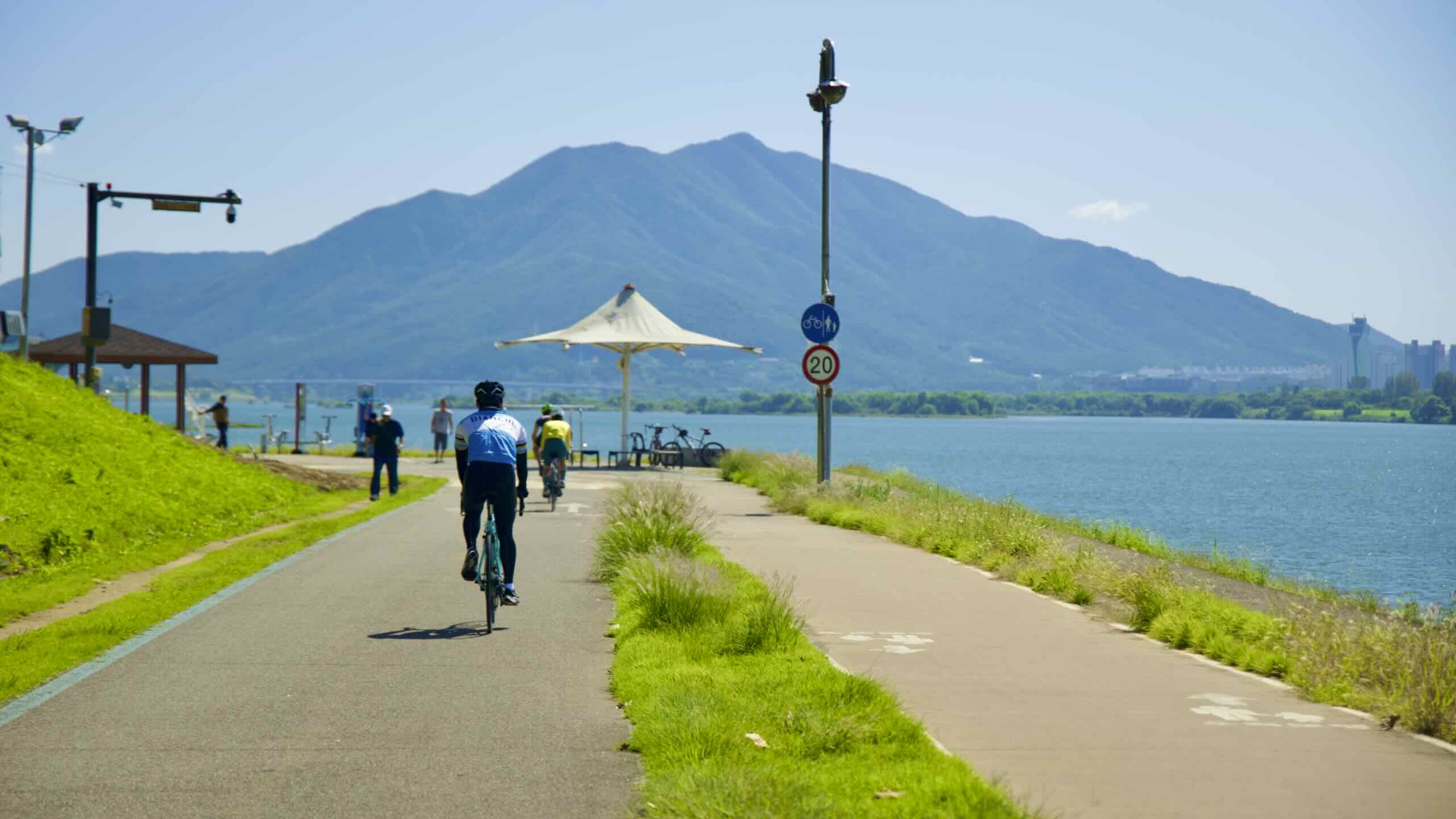
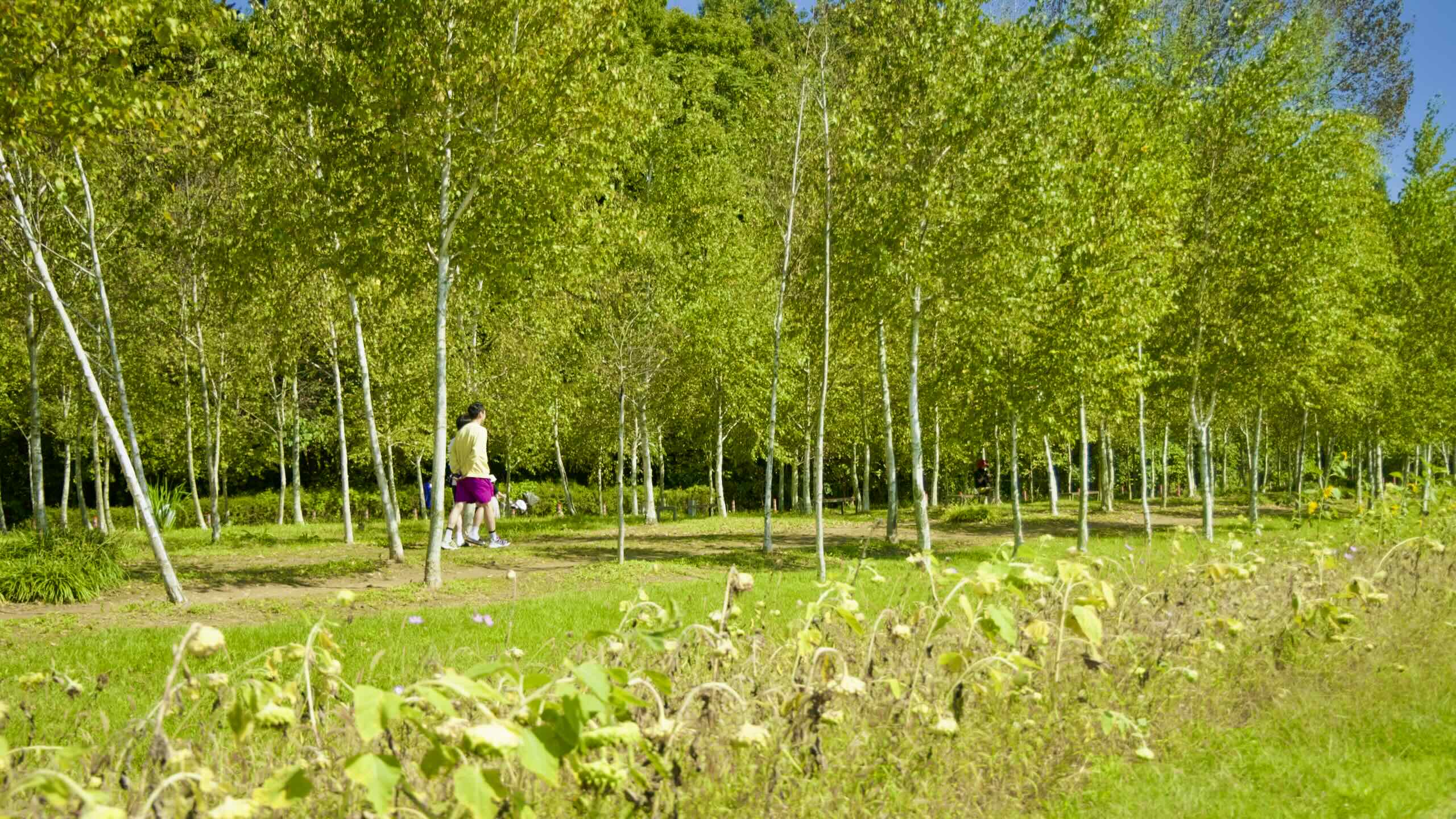
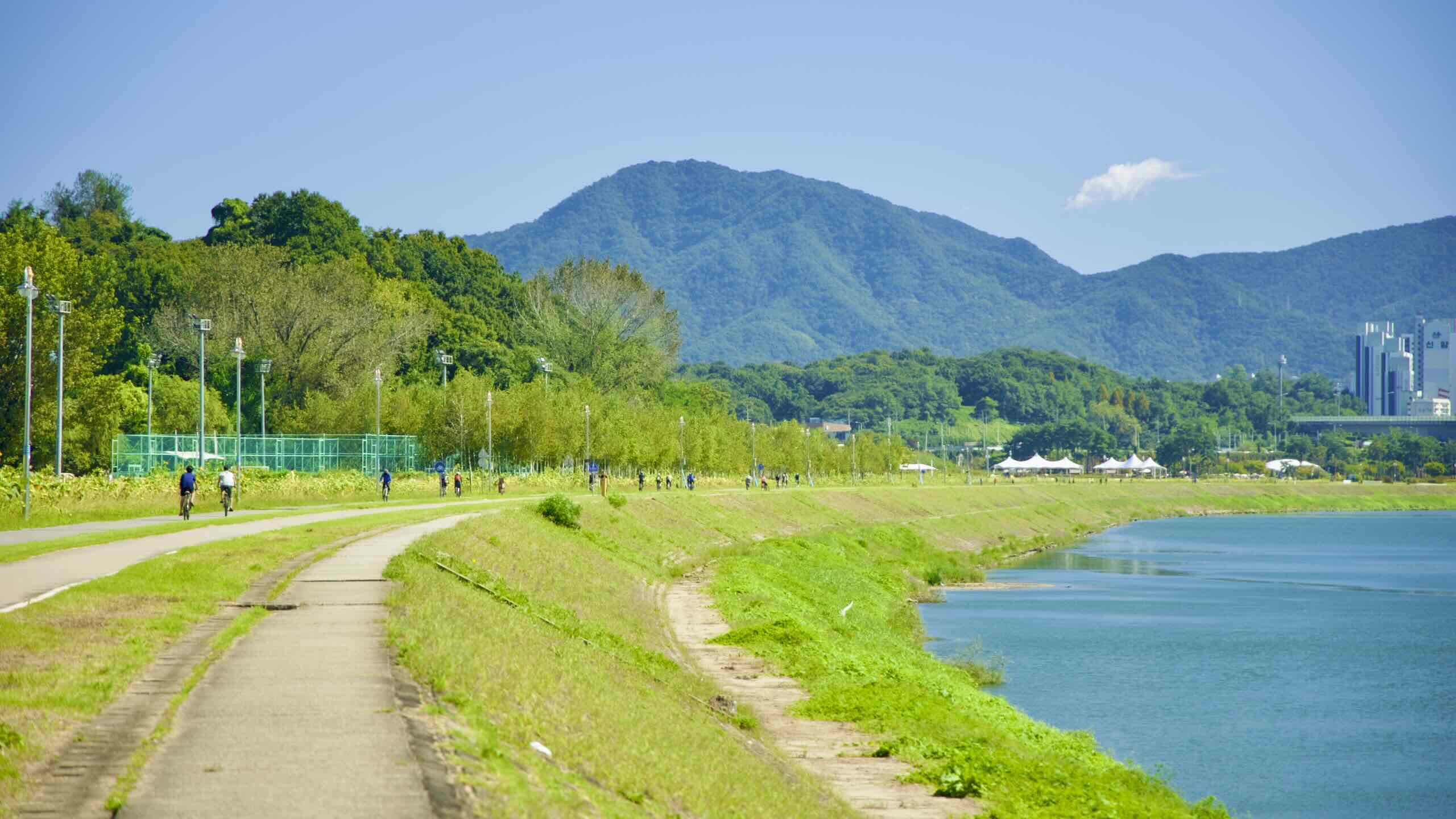
Mieumnaru Pass spits you onto Namyangju Han River Park (남양주한강공원; map). Zoom past the park’s sports fields and meandering, tree-canopied paths.
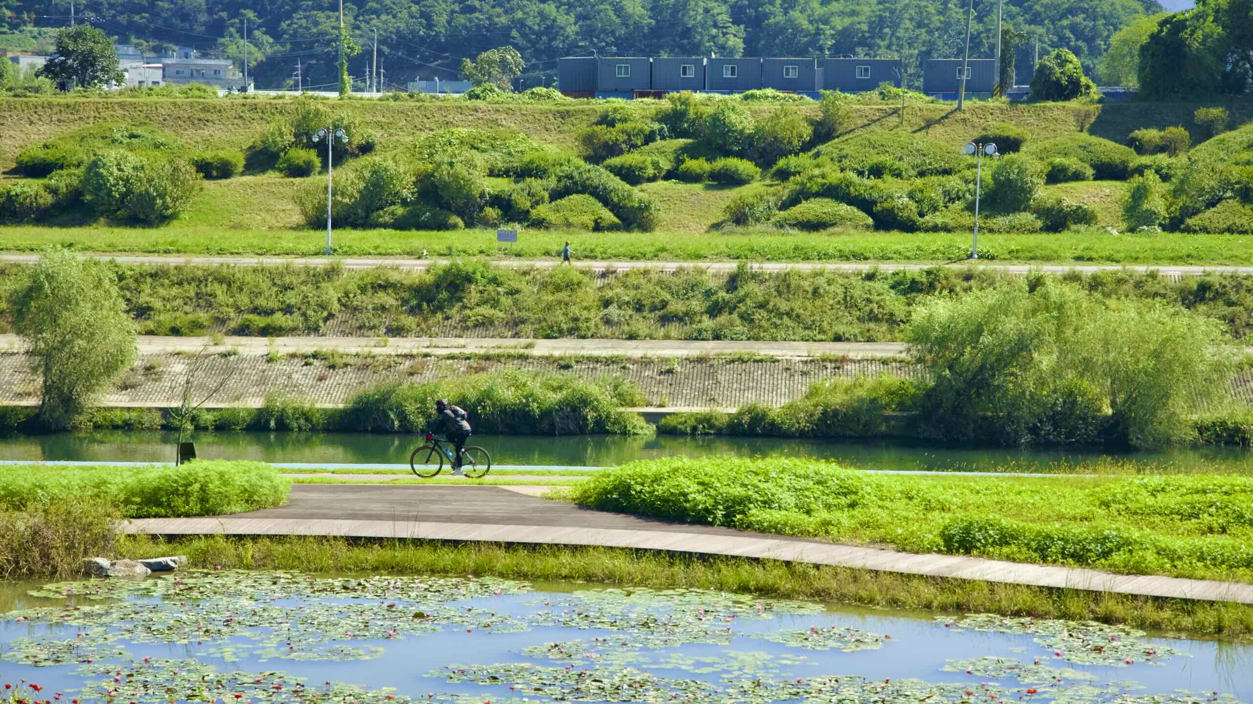
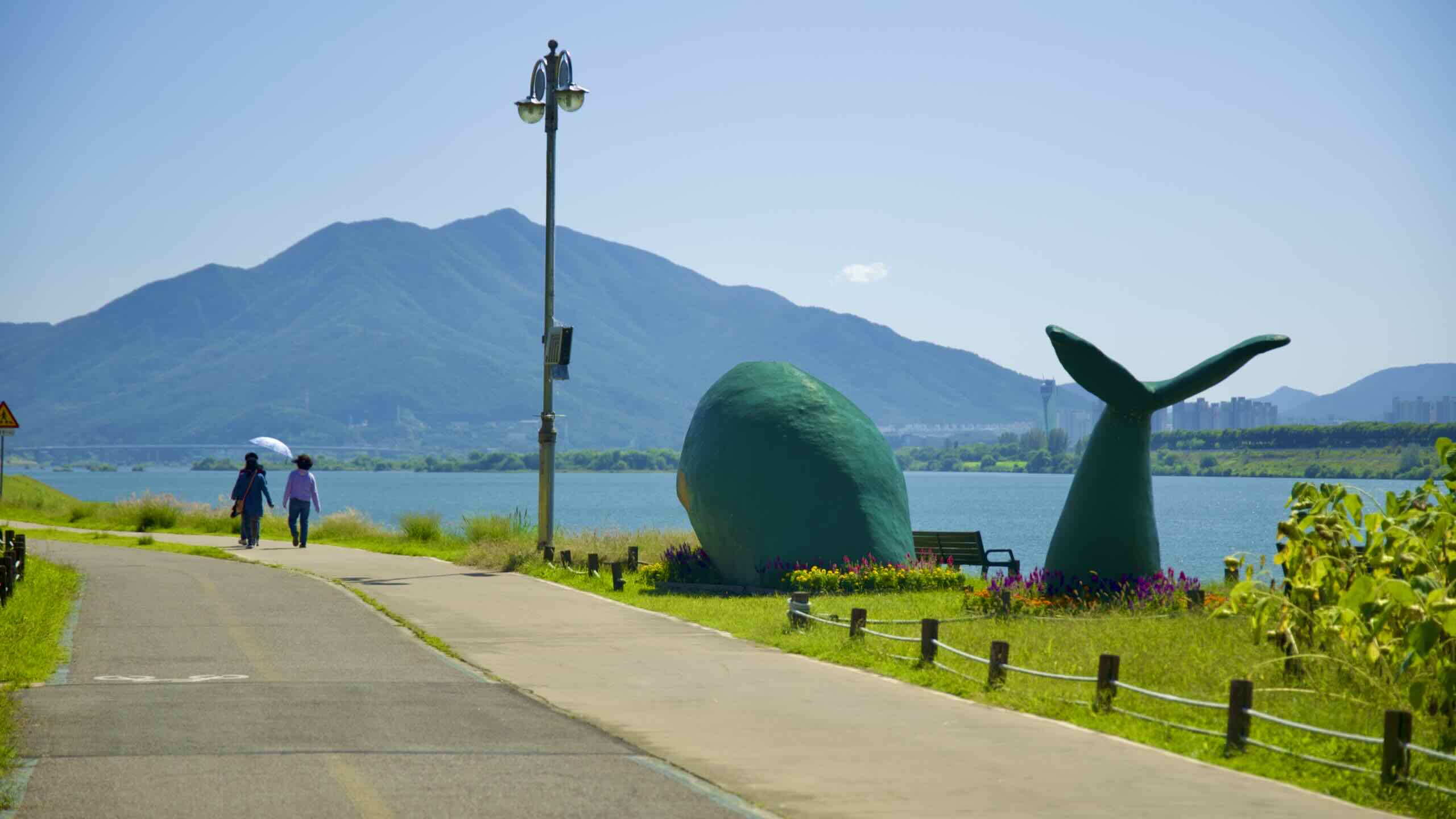
Near the park’s middle, three vast circle patios conceal fountain jets that splash cooling water over scurrying children in the summer (road view; map).
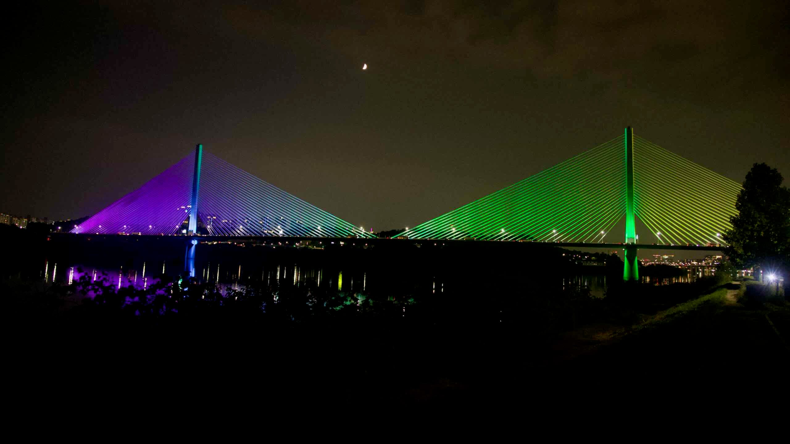
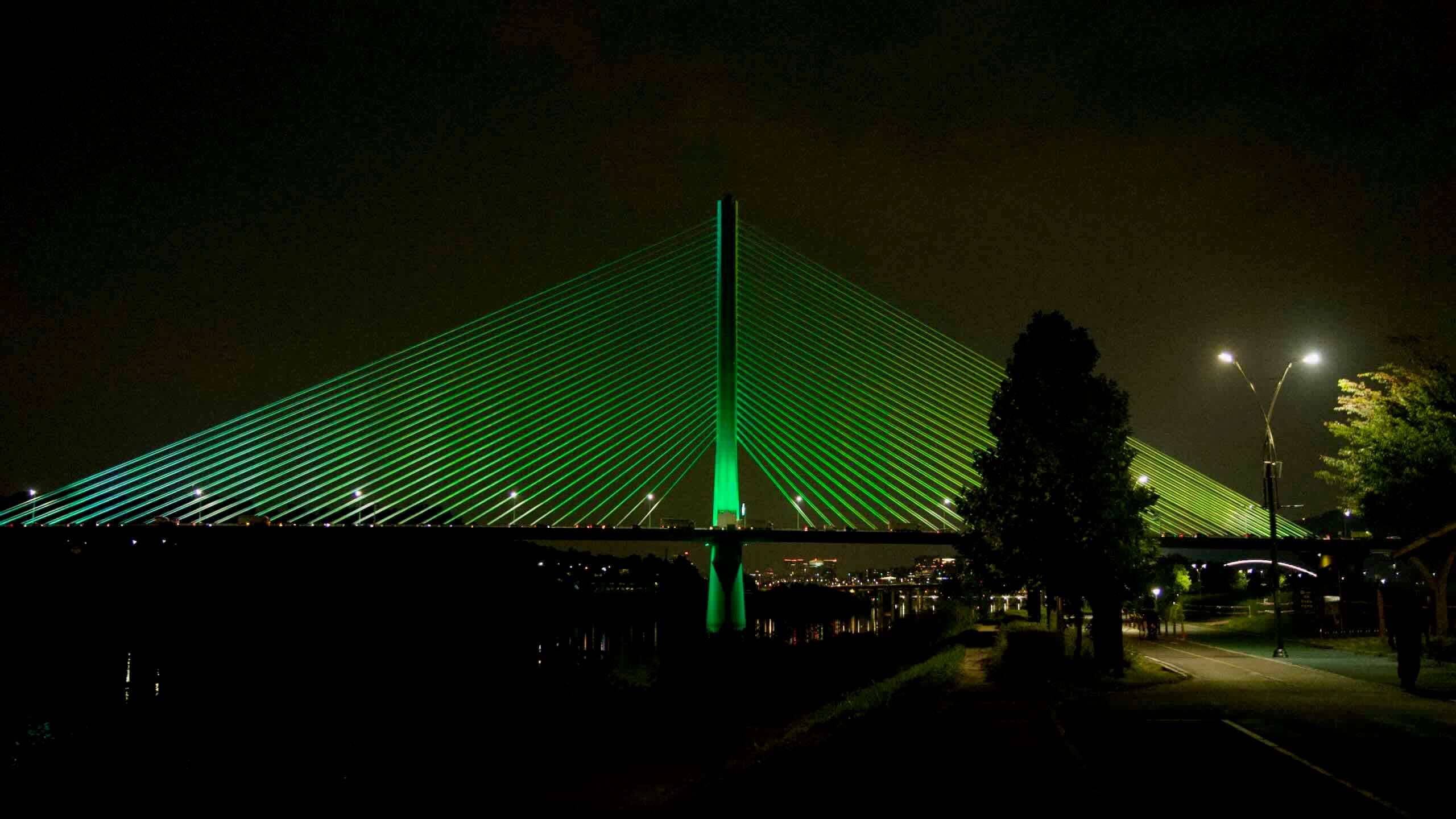
Next, roll by lawns filled with day-tenting families, then cross under Misa Bridge (미사대교; map; impossible to cross). Tumble towards a wall of riverside apartments.
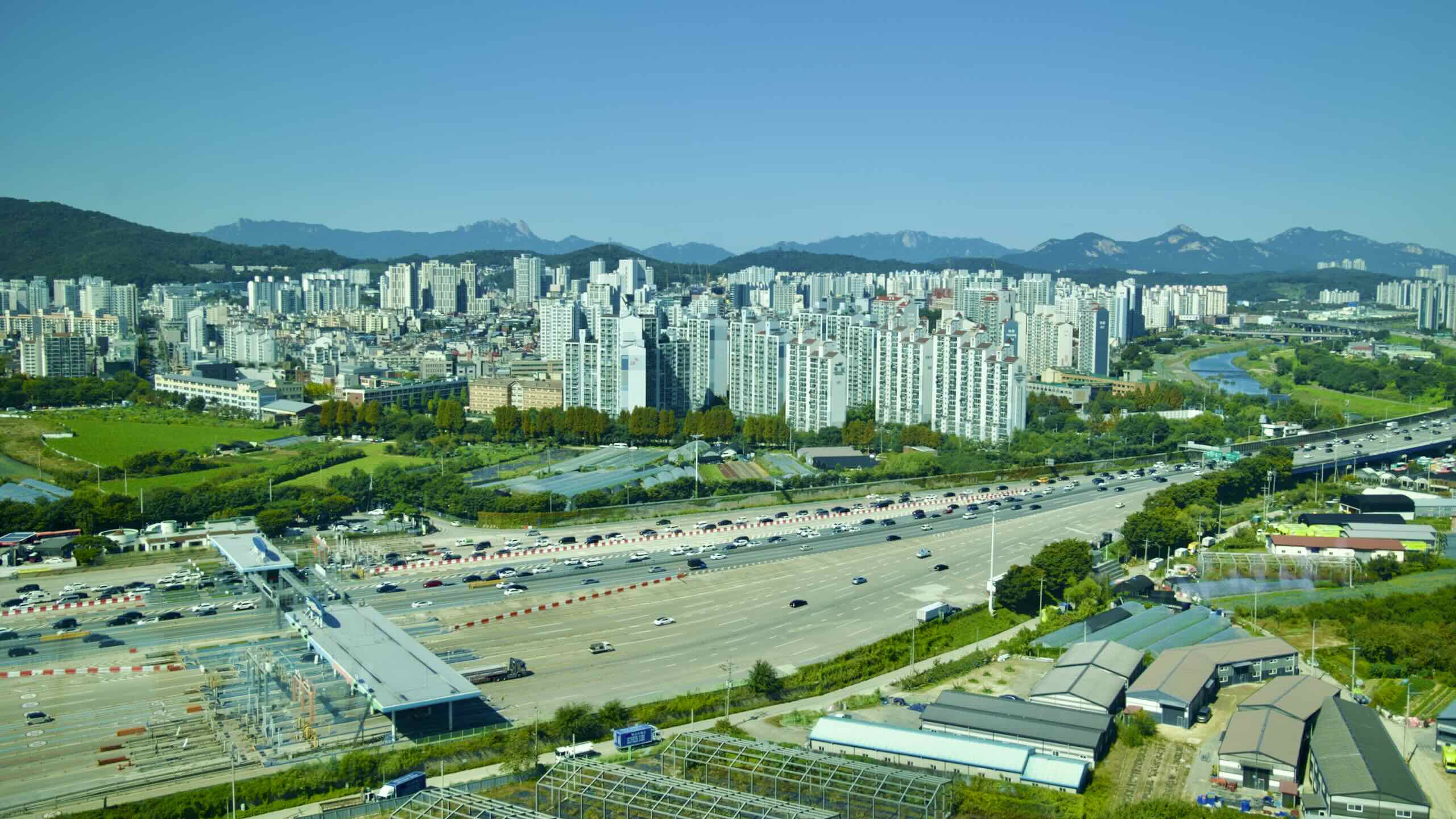
Those waterside highrises form the Sampae District (삼패지구; map), one of Namyangju City’s disconnected suburbs.
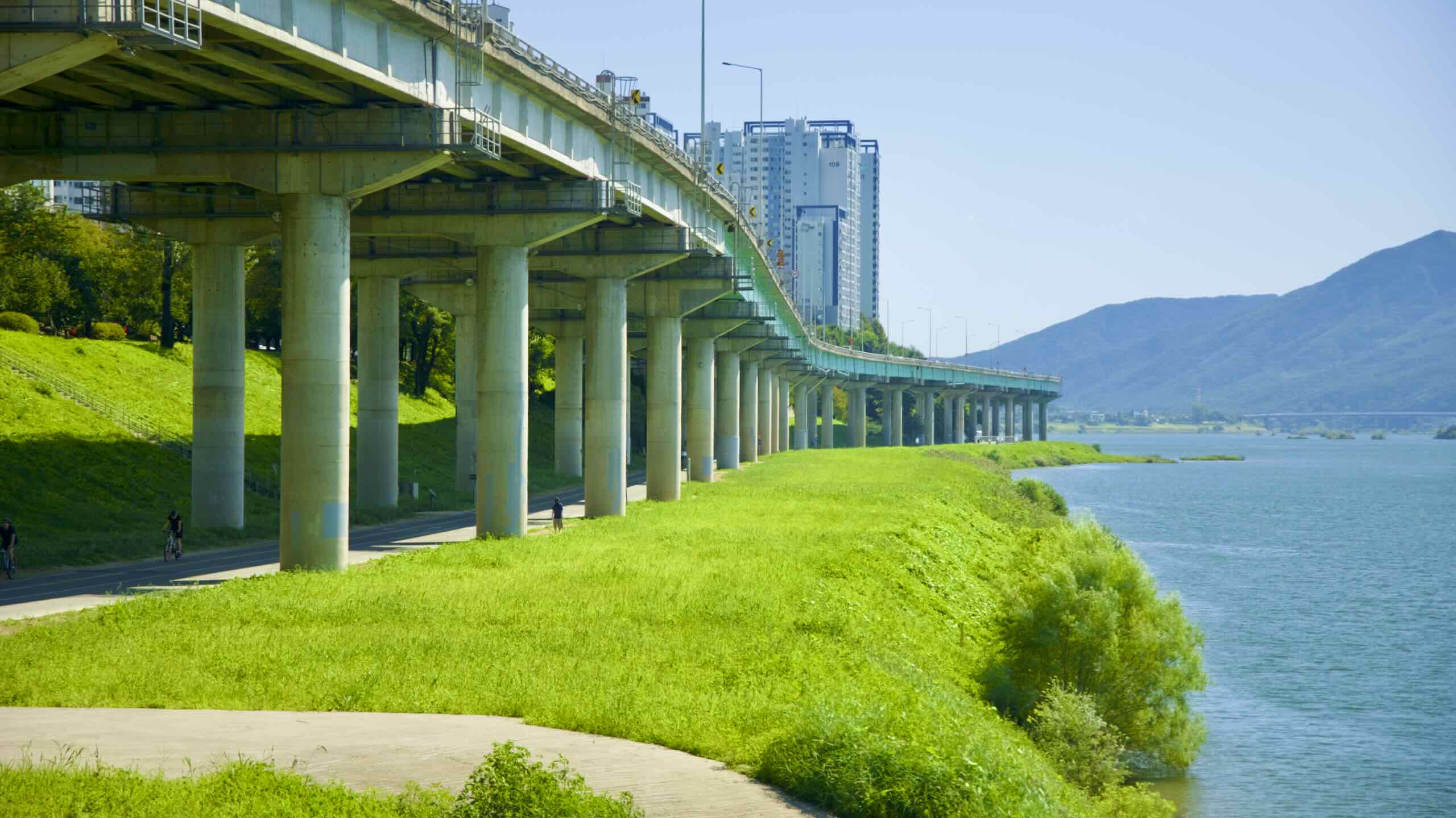
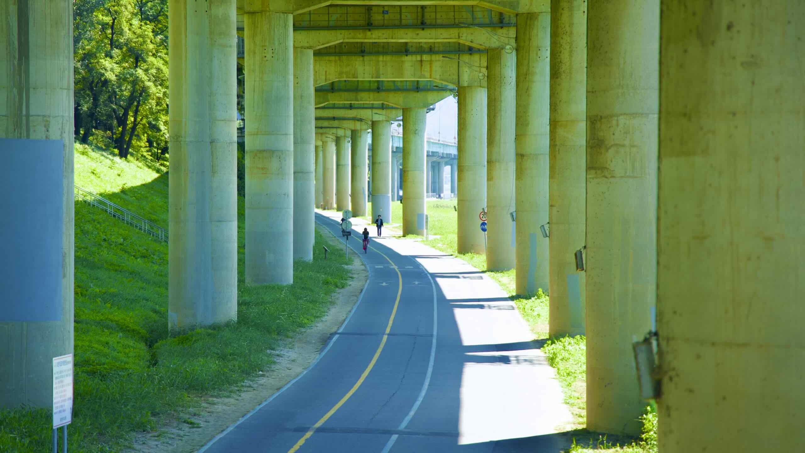
Gyeonggang Road, which leads to the East Coast’s Gangneung City, skims the outside of the crowded Sampae District and floats over the edge of the Han River.
Dip below Gyeonggang Road and glide between its three-story tall concrete pillars. Spot sets of stairs that lead to the Sampae District’s interior. While the area features lots of residential buildings, you’ll find just a handful of restaurants (map) and fewer motels (map).
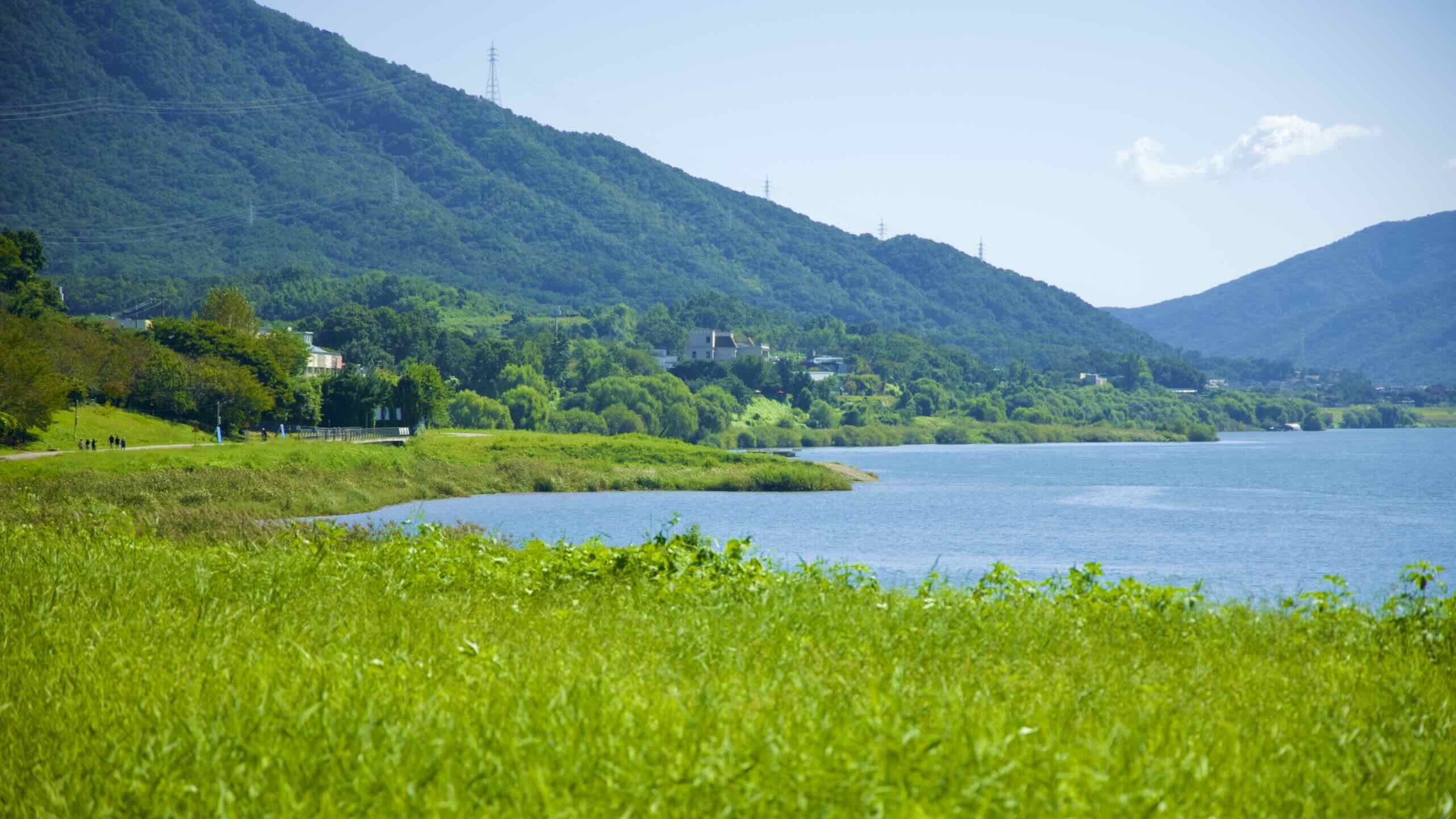
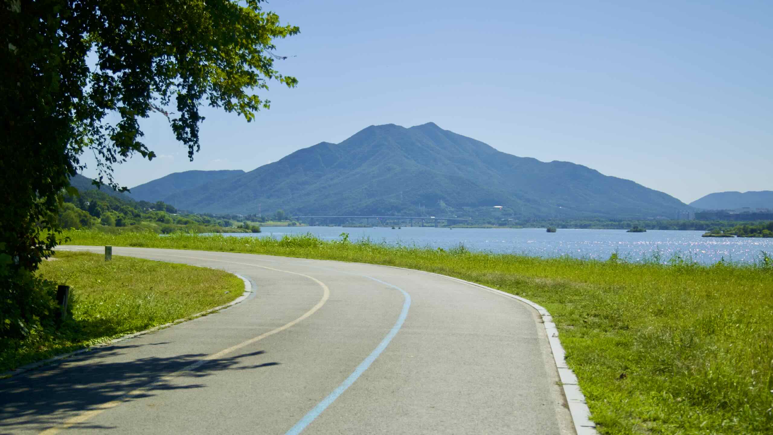
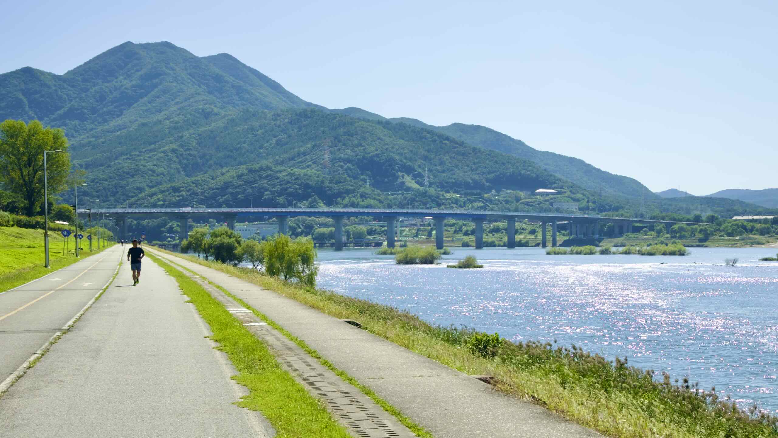
Slingshot from under Gyeonggang Road and into the open. Gaze out at Geomdan Mountain (검단산; map; 658 m) and Yebong Mountain (예봉산; map) dominating the distant horizon (road view). They form the walls of a river valley up ahead.
Cycle by a water processing facility, over a babbling brook, and onto “Green Coffee Shop Row,” the final stretch (directions).
Why “Green Coffee Shop Row?”
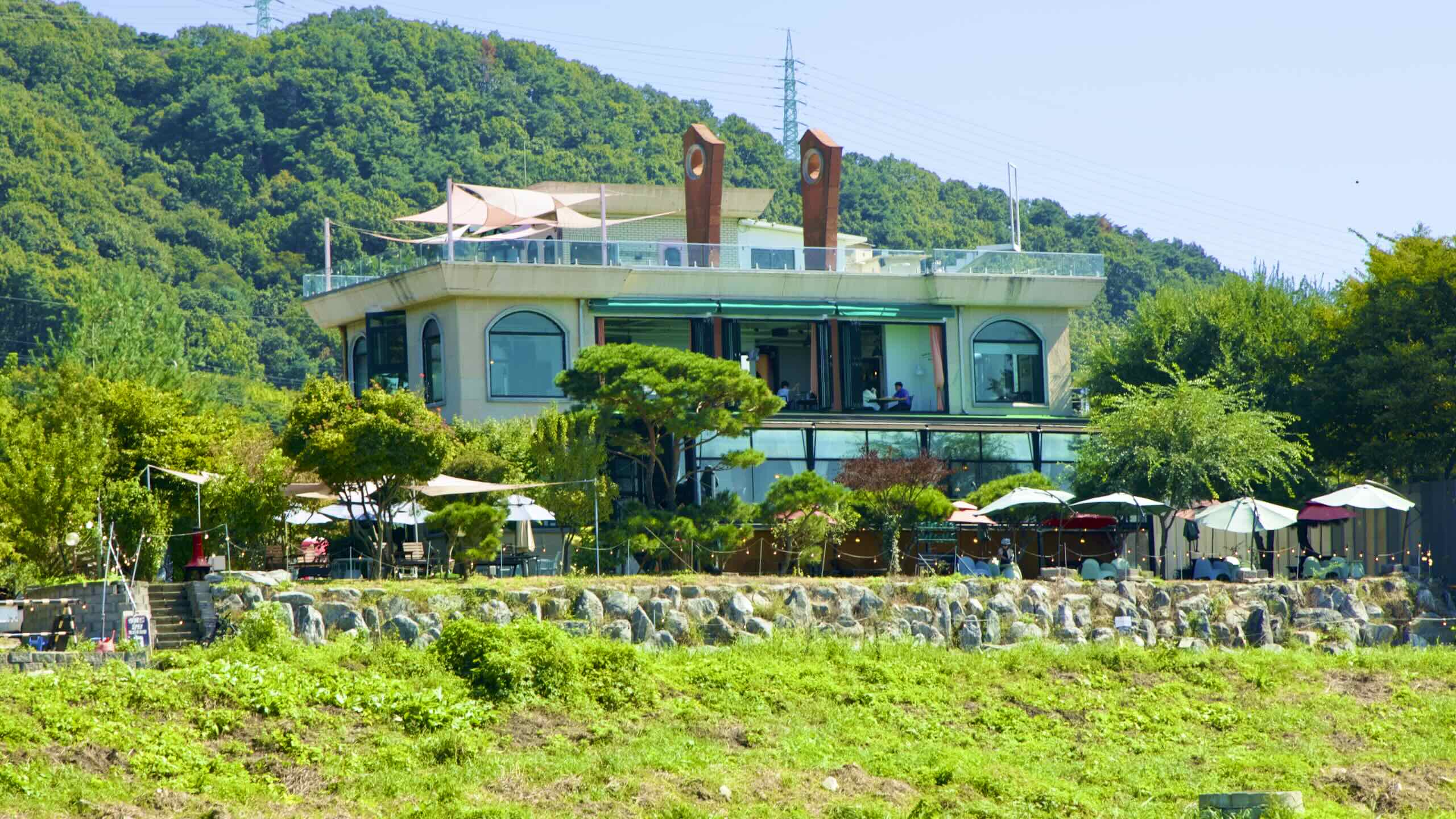
Look at a map. Coffee shops (map), restaurants (map), and museums (map) fill this stretch of verdant riverside below Yebong Mountain.
While “copy and paste” coffee shop chains dominate Korea’s cities, “Green Coffee Shop Row’s” cafes sport unique decor to attract Seoulites upriver. There they can buy pastries and coffee, and snap photos of themselves in front of sweeping waterway vistas.
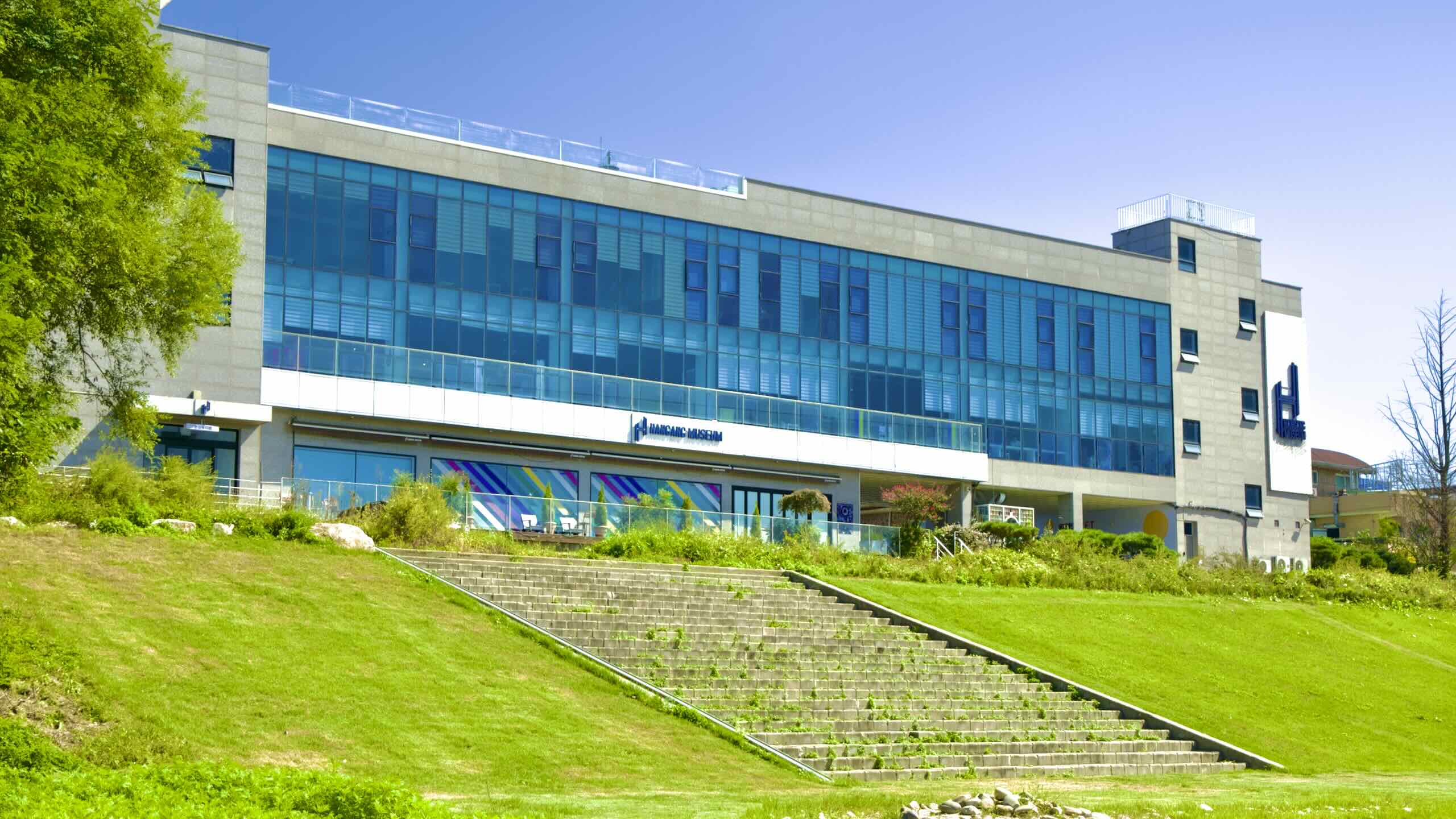
Hangang Museum (한강뮤지엄; map) dwells amongst these cafes. This private establishment triples as a coffee shop, art space, and photozone. Buy a ticket, get a complimentary cup-of-joe, and snap pics of yourself standing in front of famous art recreations or gaze upon the Han River from the museum’s rooftop.