Ichon Hangang Park borrows its name from the Ichon Neighborhood (이촌동; map; Ichon-dong). In the past, its river banks held a wide sandy beach where generations of Seoulites frolicked in the summer sun.
An economic boom and a bit of river engineering in the ‘60s and ‘70s transformed Ichon’s topography. High-rise real estate replaced the beach. High-income earners displaced summer bathers.
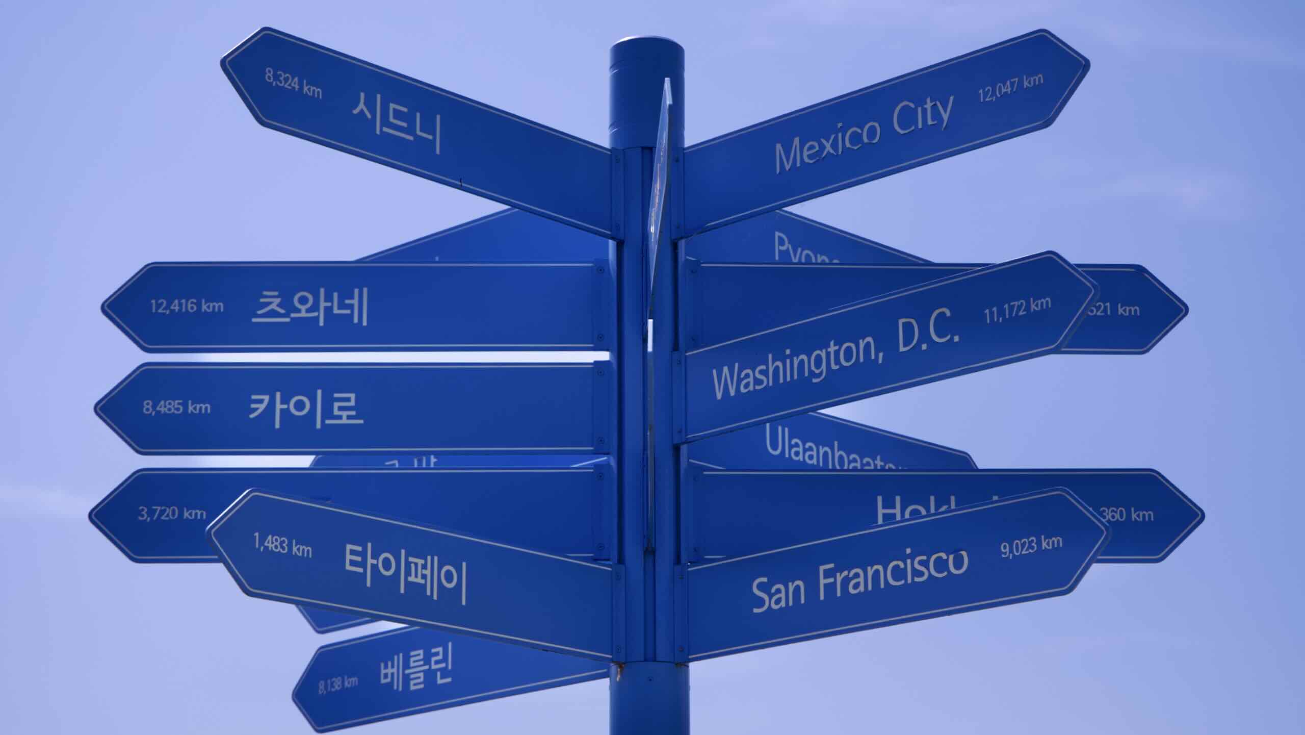
Let’s explore the Yongsan District, where Ichon Hangang Park lives.
When the Joseon Dynasty gained control of Korea in 1392, tradition dictated that it could not place the new capital on the previous kingdom’s old capital.
Glance over the Han River as you curl under Gangbyeon Expressway. Spot the golden sheen of Building 63 (63빌딩; map) a landmark on Yeouido Island.
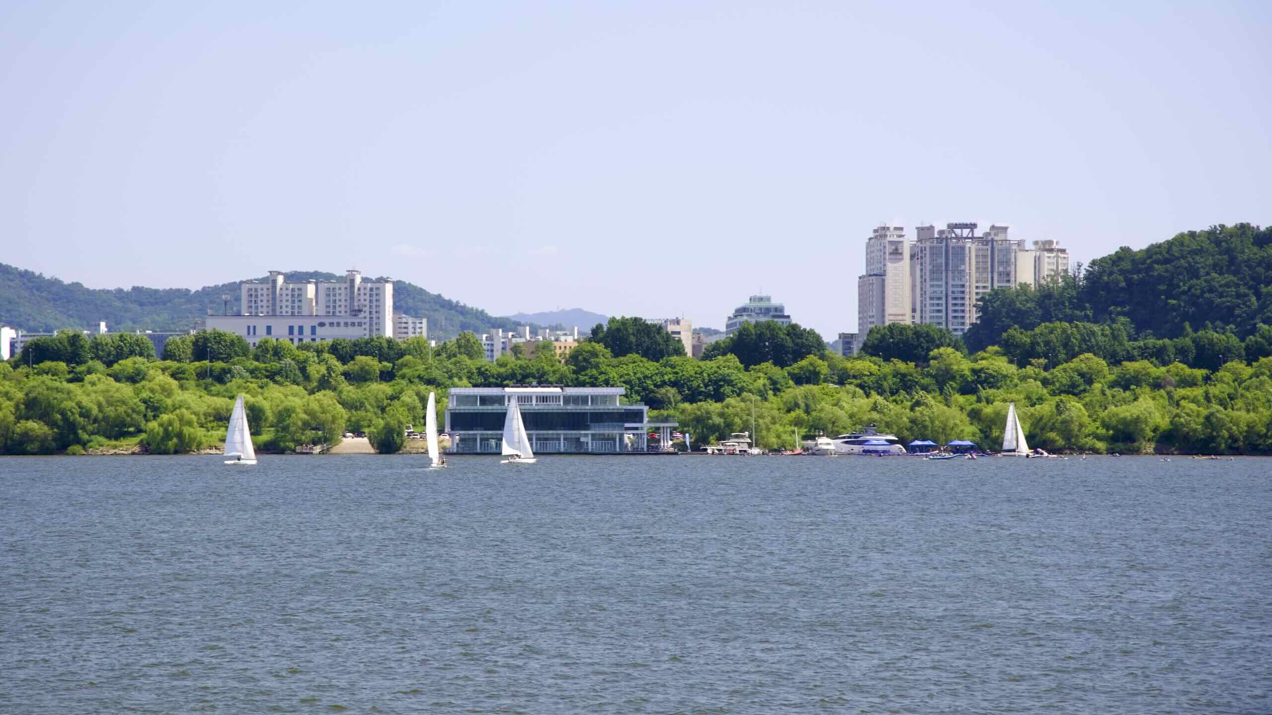
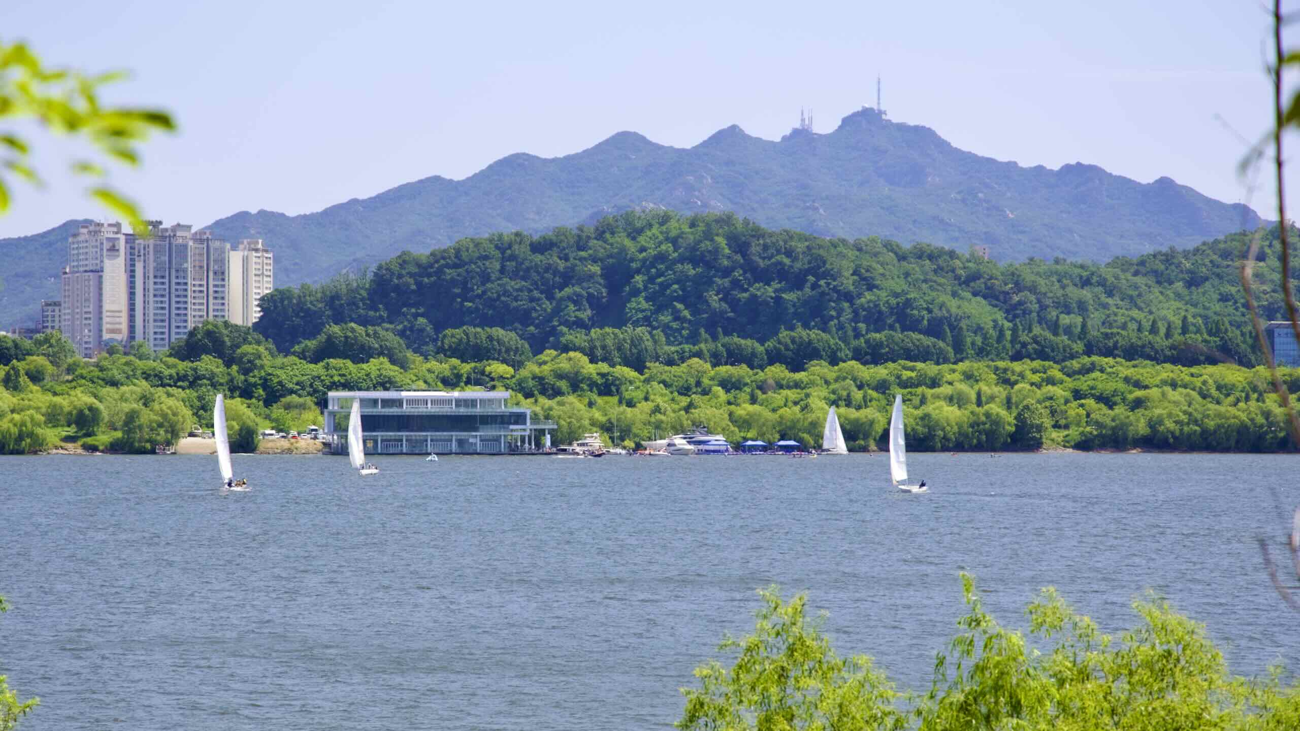
A hundred meters down the path, the bike path zooms above a green dollop of land filled with swaying trees, tall grass, and winding paths. Venture into this dense green and discover one half of Hangang Art Park, a Hangang Bike Path highlight.
Artists from Korea to America to Germany to Chile contributed artworks, which range from intriguing to enigmatic. Some works encourage visitors to touch, sit, or lie down on them.
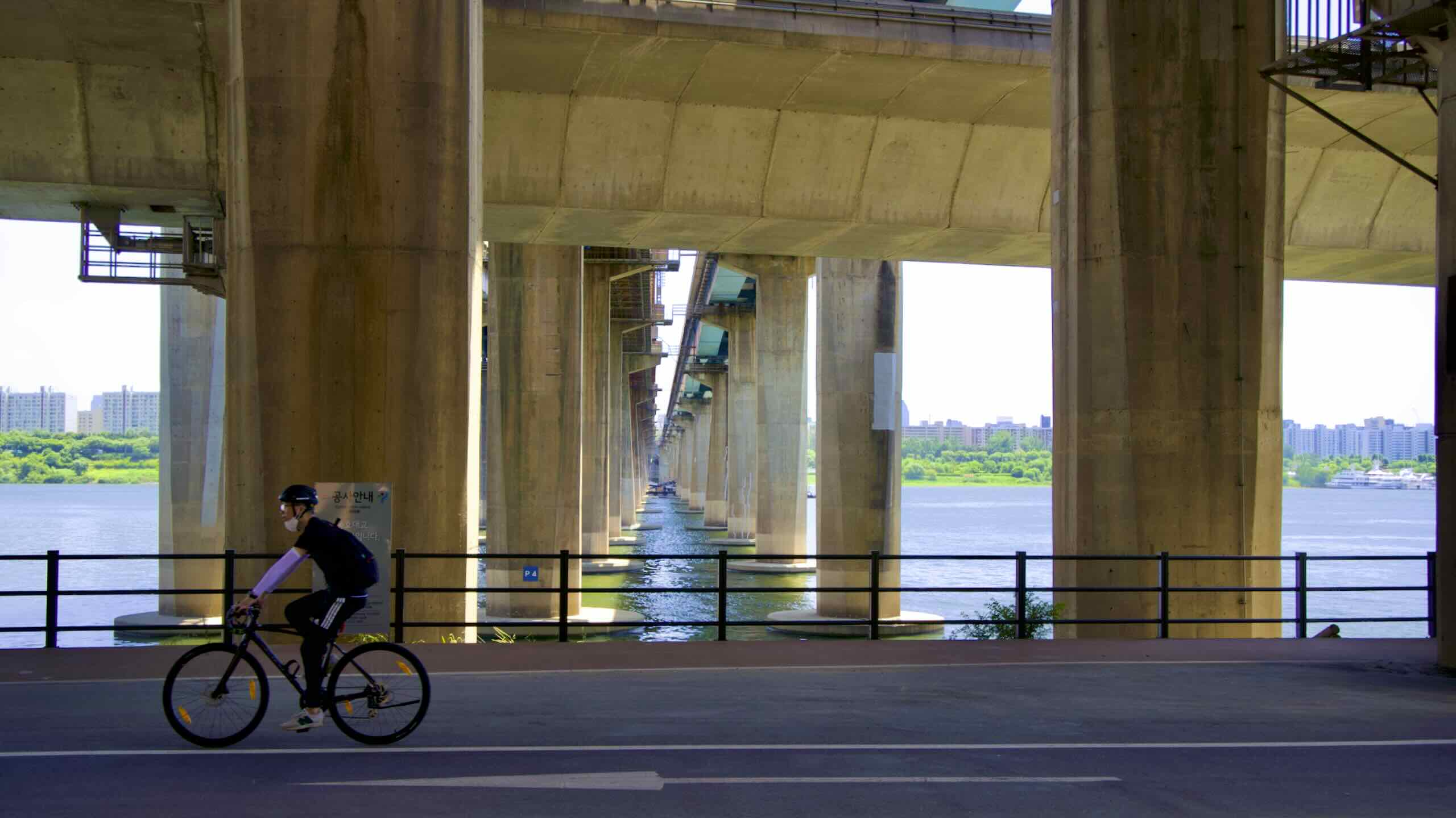
Venture to the bottom of the green dollop of land to the lookout deck filled with Cracking Art’s pink penguins. Spot a mass of green and gray trusses sailing over the river. Those are the Hangang Railway Bridges (aerial view), a Hangang Bike Path highlight.
Built at different times in Korea’s history, the Hangang Railway Bridges (한강철교: map) are four separate railroad bridges measuring about 1.1-kilometers long.
Bridge A (1900; single-track) — Gyeongin Line from Incheon to Seoul.
Bridge B (1912; single-track) — Gyeongin Line from Seoul to Incheon.
Today, these bridges carry trains and subways. However, their supporting pillars hold the nation’s history.
Look at Bridge A — west to east, the third bridge. Single-track bridge with gray trusses. This bridge with an unremarkable name bears a remarkable past.
Because of limited technology, Koreans only use ferries to cross the Han for millennia. Hangang Railway Bridge A was the first to span the river’s banks when it opened in 1900.
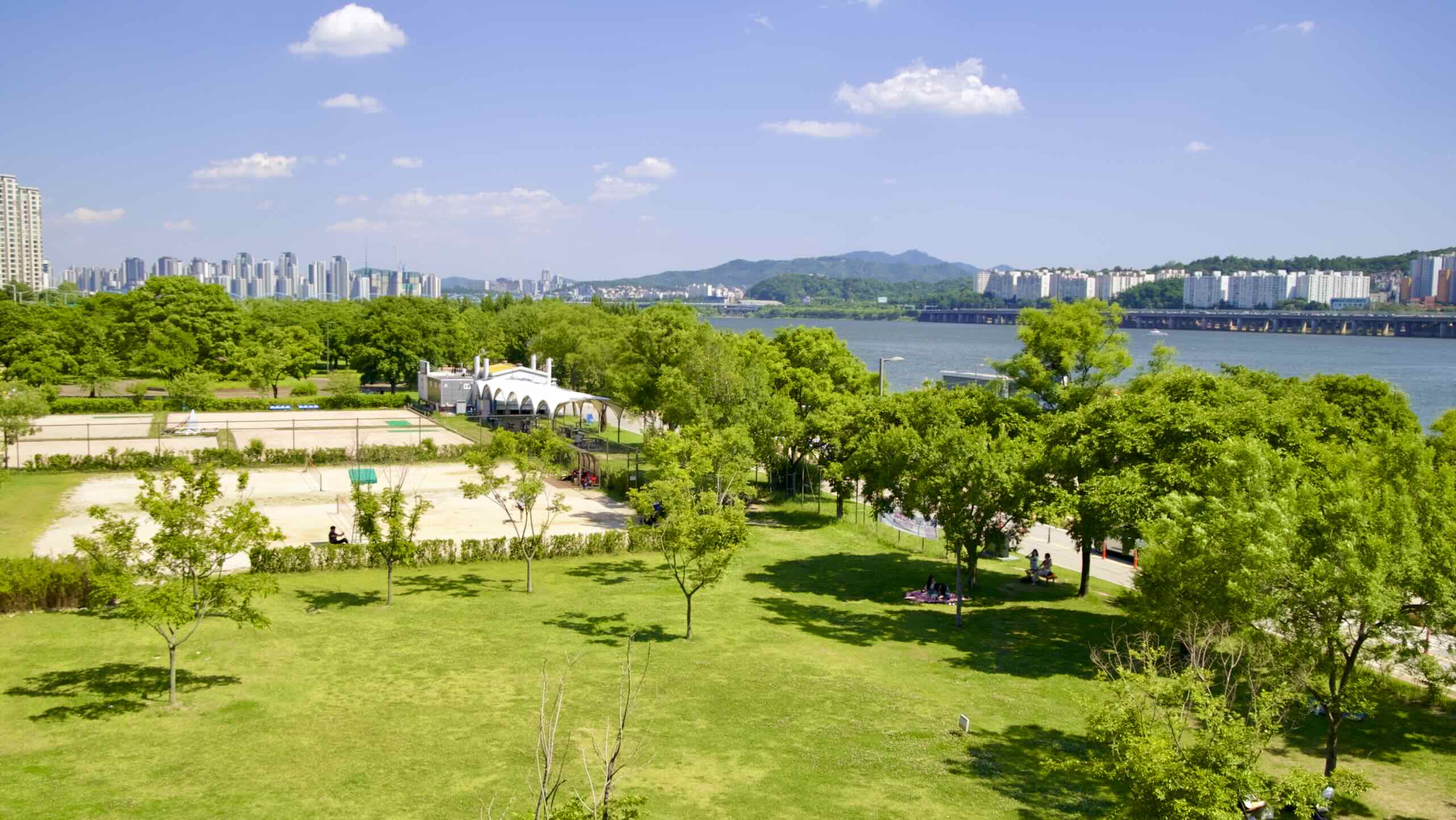
Finished with your rail and art tour? Jump back on your bike and continue cycling in Ichon Hangang Park. Pass rec fields and a restored rice paddy teeming with wetland insects and plants (map).
Come to the Hangang Bridge (한강대교; map) less than a half a kilometer later.
Engineers originally erected a footbridge in 1917. Like its neighbors, the Hangang Railway Bridges, Hangang Bridge was the first to allow pedestrians to cross the river on foot.
North Korean troops surged across the 38th Parallel in 1950 and started the Korean War. Within a few days, they were tracking mud on Seoul’s doormat.
To slow the North’s advance, a panicked colonel in the South Korean Military (ROK) ordered the detonation of all bridges across the Han, including the Hangang Railway Bridges and the Hangang Footbridge.
Over 4,000 souls were still fleeing across the bridges as they collapsed. Eight hundred perished.
Seoul’s post-war economic explosion rebuilt the Hangang Bridge as a vehicle and pedestrian bridge in (1958), and restored Railway Bridges A and B (1969), and C (1957).
Hangang Bridge Observatories
Before pedaling onwards, notice a pair of modernist lighthouses bolted to Hangang Bridge. Though now closed, they were a part of a series of Han River bridge observatories.
Check the listings below to see which observatories are still open.
Bridge Observatories
On top of Seoul’s Han River bridges sit five observatories. Some hold cafes. Others offer viewing decks with panoramas of the river and skyline.
As of 2023, Yanghwa Bridge, Hangang Bridge, and Hannam Bridge host five closed observatories. While their cafes are shuttered, they still provide elevators and lookout spots.
Until the 20th century, it was a soft, white beach extending from the north banks of the Han River. After Seoul dredged the Han River, Nodeul formed around the Hangang Bridge’s central pillar.
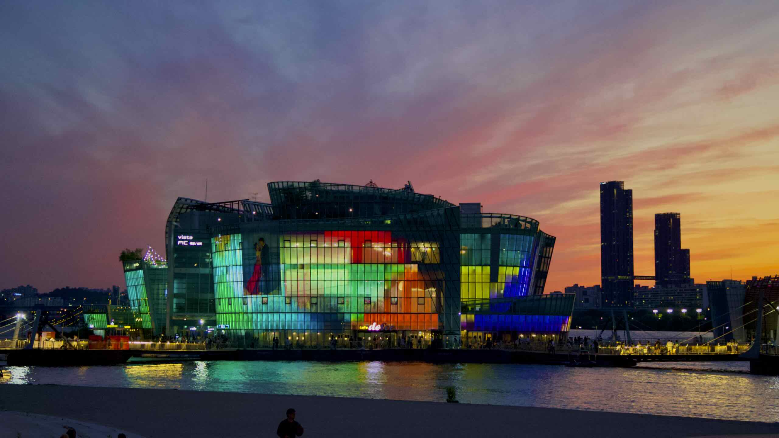
Seoul bought the land in 2005, with plans on building a Sydney-style opera house. But budget constraints and traffic concerns scrapped the plans.
In 2015, a winning bid in a design competition transformed the island into a complex of cultural buildings, including a concert hall, art gallery, and big lawn that offers a magnificent view of Yeouido Island’s high-rise skyline.
During the Japanese Invasions (Imjin Wars; 1592~1598), Korea’s ground troops were no match for Japan’s battle-tested infantry. But two factors kept Japan from overrunning the peninsula.
Reinforcements from China’s Ming Empire, to which Korea’s Joseon paid tribute.
Turtle ships were armored-plated naval vessels that resembled a turtle in its shell. This bit of ingenious engineering helped Korea win a series of naval battles that stagnated the war until attrition forced Japan to retreat.
In 1990, at a cost of ₩2 billion ($1.5 million), Seoul rebuilt a turtle ship and anchored it on the Han River in Ichon Hangang Park. This floating museum told the history of turtle ships and occasionally took tour groups on short cruises.
“Turtle Ship Pier'' was named after Korea's Turtle Ships, which held back a Japanese invasion in the 1500s.
Notice something? No turtle ship!
In 2005, visitor numbers dropped. Tongyeong City (통영시; map), the site of a decisive naval battle (1592) that sank 100 Japanese ships, took Seoul’s turtle ship replica and placed it in its port on the south coast of Korea.
Ichon’s “Turtle Ship Pier” replacement doesn’t have the same historic flare. But it hosts a menu of water activities, including the Hangang Crossing Program (한강도하체험장; map), which challenges a group of eight to paddle across the river to Banpo Hangang Park.
Continuing onward, the bike path veers from the water’s edge and visits an expansive lawn crowned by Scroll-Flowing Stories (map), a two-story spiral Hangang Art Park installation.
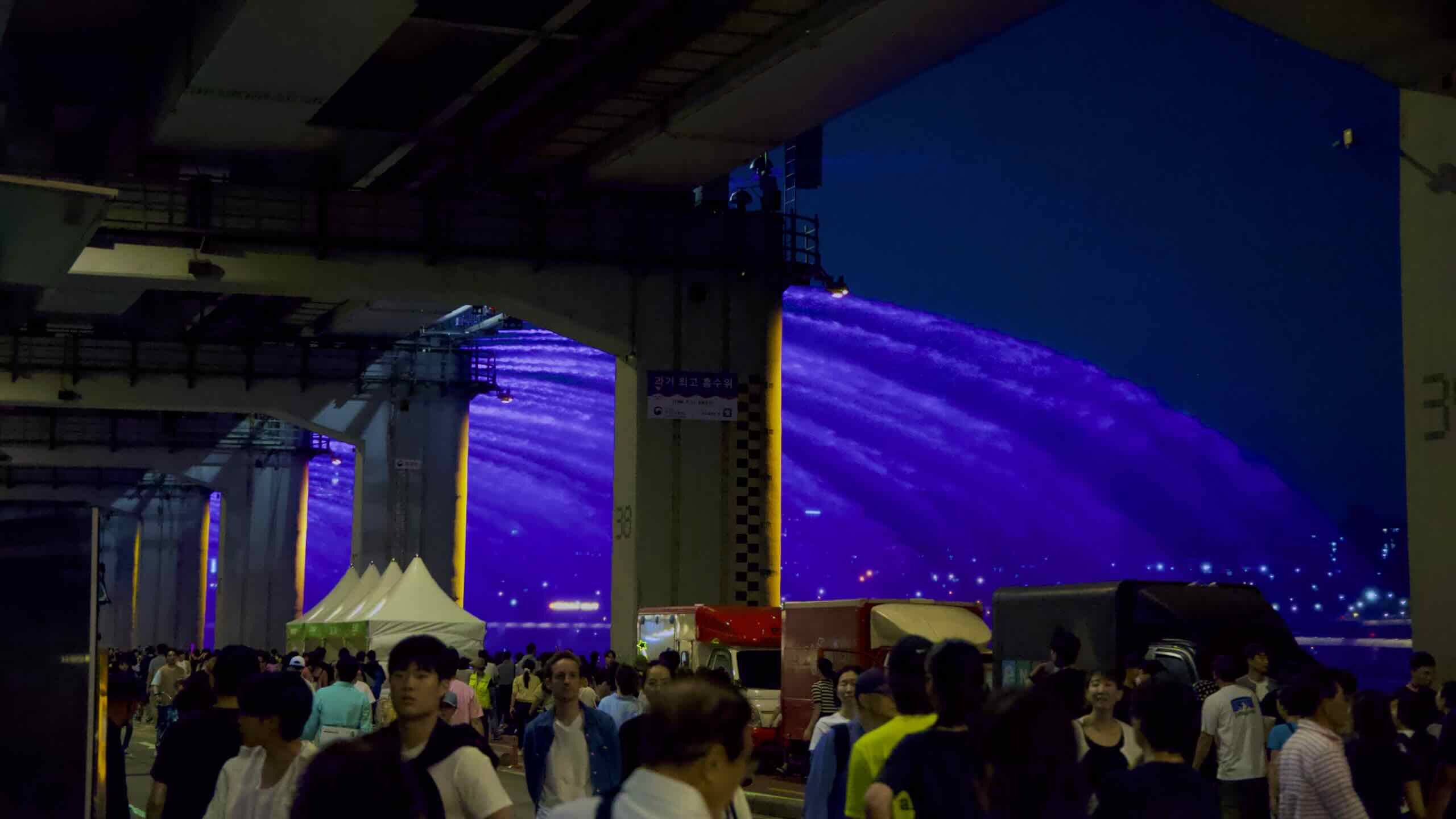
Five to six times each day, pumps beneath Banpo Grand Fountain Bridge suck 190-tons of river water per minute. Then, 308 jets mounted to the bridge’s top deck shoot it into the air, creating patterns in a music-enhanced, 20 minute water dance (video).
At night, lights under the jets toss color into the spray.
Double-Decker Bridge
Banpo Grand Fountain Bridge sports an upper and lower deck.
The top deck carries cars between the river’s upper banks.
The bottom deck holds six traffic lanes: two for pedestrians, two for bikes, and two for vehicles (road view).
Banpo Bridge is the quickest point for cyclists and pedestrians to cross the Han. No elevators, ramps, or stairs. Just a straight, 1-kilometer cycle down its bottom deck and you’ll land on the South Side bike path between Banpo and Jamwon Hangang Parks.
Before we continue on, find a fork in the bike path a hundred meters before Banpo Bridge.
The right fork leads to the intersection on Banpo Bridge’s bottom deck.
The left fork rides an embankment over the bridge’s intersection, avoiding traffic.
Want the quickest route? Take the left fork. It merges back with the right fork just after Banpo Bridge.
Have time for a 10-minute, 2-kilometer detour to one of Asia’s largest museums (directions). Take the right fork!
National Museum & Old Town
Head to the intersection under Banpo Bridge. Head up the pedestrian tunnel into the Yongsan District (road view). Ride along the bottom of the old Yongsan Garrison until you stumble upon a sweeping courtyard topped by the metal-clad National Museum of Korea (road view).
The land where the museum sits once held a US military golf course at the Yongsan Garrison. Now, the grounds hold several notable attractions, including:
Have a day? An entire week? Don’t stop the detour! Continue northward into the Jongno and Jung Districts, which formed Hanseong, the old capital of the Joseon Dynasty (1392 ~ 1897).
Along a 10-kilometer, 45 minute detour, discover some of Seoul’s top highlights (directions):
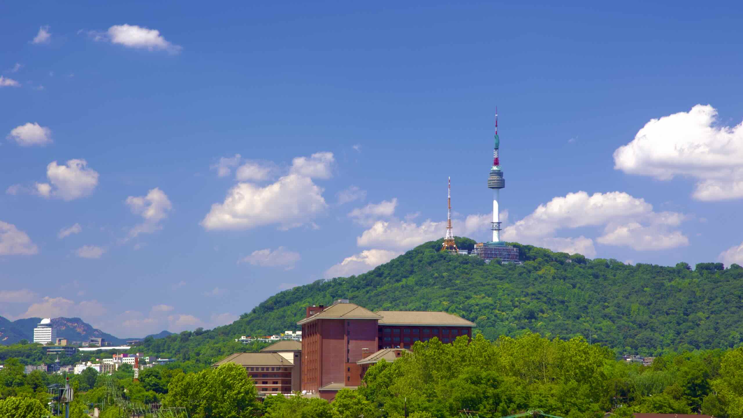
Namsan Tower (남산서울타워; map) sits on top of Nam Mountain (남산; map). Built in 1975, its spire adorns 99% of Seoul’s skyline pics.
Myeongdong (명동; map) is one of Seoul’s most walked streets. The infamous shopping district hosts pricy street food and designer stores.
Let’s power through Ichon Hangang Park’s final kilometers.
Hop across Banpo Bridge and zoom by V-shaped pillars. The riverside patio beside you offers the best vantage point to catch the fountain bridge’s show.
What do you prefer? Rolling hills and green pastures? Or the maze of steel-reinforced concrete that supports today’s cities?
The concrete? Well, you’re in for a treat. The next four kilometers wriggle under a maze of bridges, subway lines, and the Gangbyeon Expressway (directions).
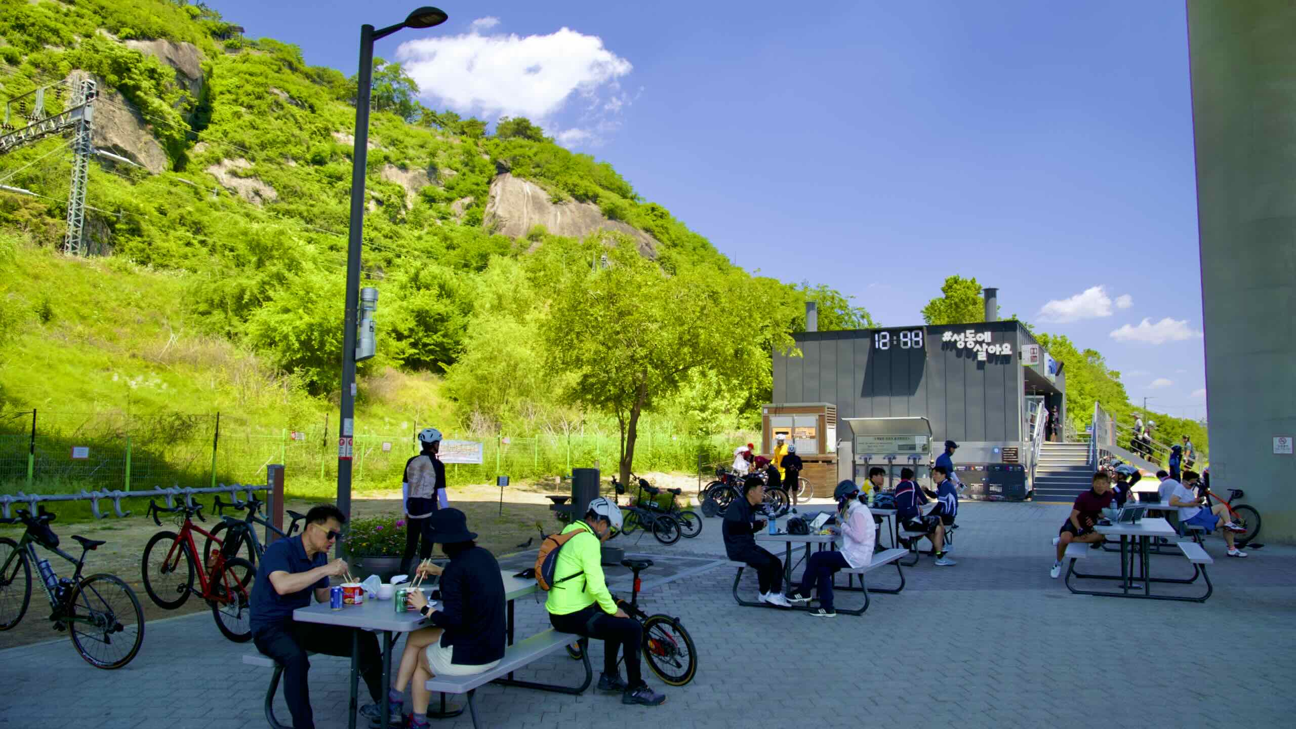
It’s not all gray brutalism, though. Ichon turns cement lemons into recreational lemonade. Tucked behind pillars and pressed against retaining walls perch public gyms, patios, and rows of sports courts.
In summer, park goers flee to this infrastructure nether region. The combo of overhead shade and river breeze cools those that lack air conditioning.
A kilometer past Banpo Bridge, find a ramp veering off the cycling path (road view). Travel up it, travel 1.5 kilometers (13 min) into Yongsan, and discover Seoul’s most famed waygookin (외국인; “foreigner”) neighborhood (directions).
First gaining fame for high-quality knock-offs, the neighborhood’s foreign population skyrocketed when the United States took over the Yongsan Garrison following the Korean War (1950~53). Soldiers flowed from the base, filled local bars, and drained their paychecks.
Overtime, an international community, from native-English teachers to Muslim families, sank their roots in the area, splashing color on homogenous Korea.
Back in Ichon Hangang Park, pedal onwards underneath the Gangbyeon Expressway.
Pass below Hannam Bridge (한남대교; okay crossing point) and spy pedestrian underpasses leaking into the city, pockets filled with leafy trees, and basketball courts sprinkled between rectangular pillars (road view).
Two kilometers down the path, arrive at a four-layer maze of floating infrastructure (road view).
Called Ipsokpo (입석포), during the Joseon Dynasty, these waters drew fishers to standing stones along the tributary’s banks. Today, fish still leap from the shimmering plane in come fall.


