
Bike Seoul's
South Side
Capital City, here you come! All of Korea’s bicycle paths lead to Seoul.
The Hangang Bike Path lies on both the north and south banks of the Han River (한강) as it flows through the capital. It overflows with landmarks and history. So I split the route in two:
- The South Side of the Han River in Seoul.
- The North Side of the Han River in Seoul.
This guide follows the South Side. It begins where the Ara Bicycle Path left off. And it continues onto the Bike Seoul to Yeoju leg of the Hangang Bike Path.


North or South?
Which river bank should you cycle? North or South?
During the Joseon Dynasty (1392 ~ 1897), Seoul sat on only the north side of the Han River. But after the Korean War, development expanded the city to the marshy swathe below the river, creating gleaming new districts that rival the north.
To generalize:
- The North Side cycling route rolls past Seoul’s old world. It gives access to the Jongno and Jung Districts, which formed the old Joseon Dynasty’s capital.
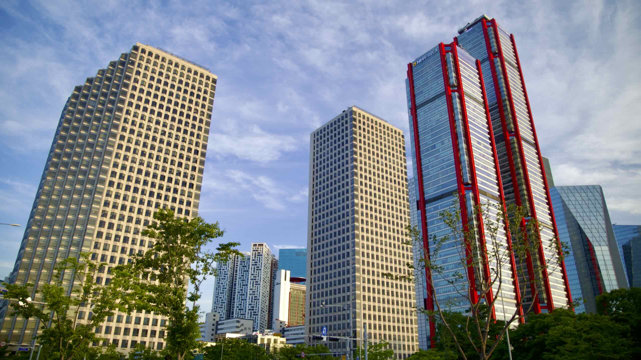
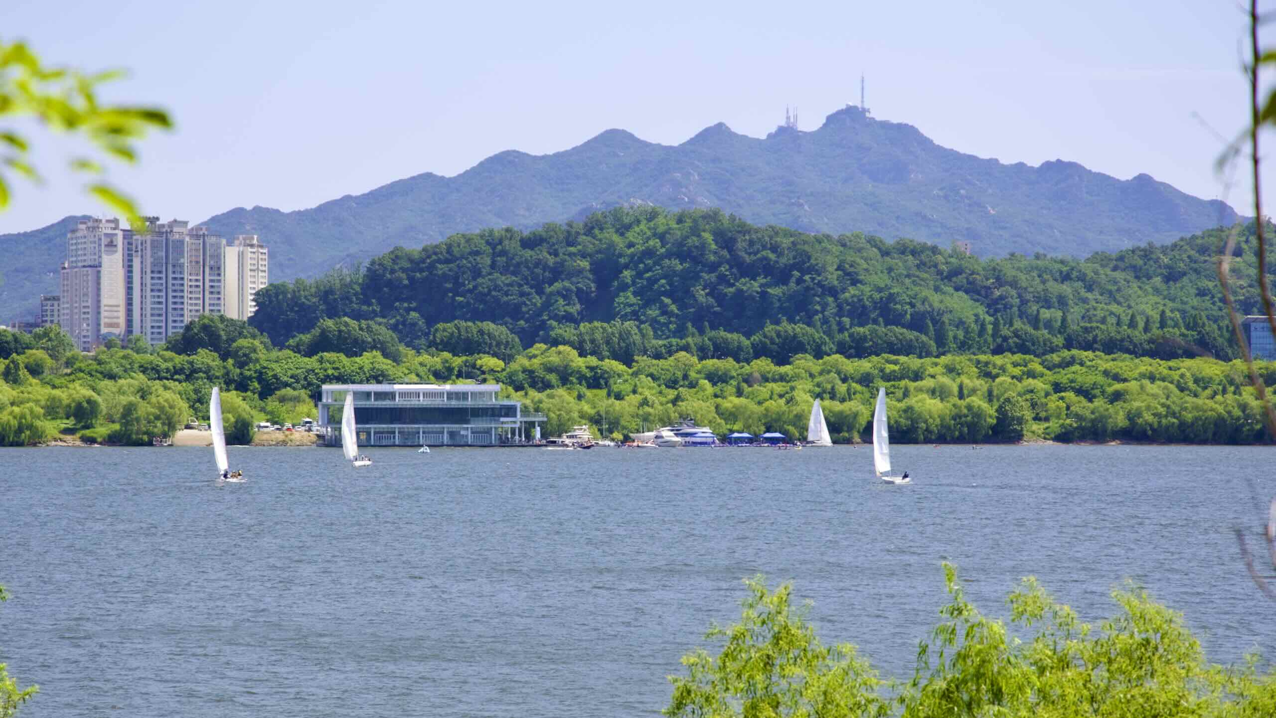
- The South Side bike path tours the gleaming new districts below the Han, including the glitzy Gangnam District and powerhouse Yeouido Island.
Don’t fear! If you have buyer’s remorse, twenty-two bridges along the river provide quick crossing points.
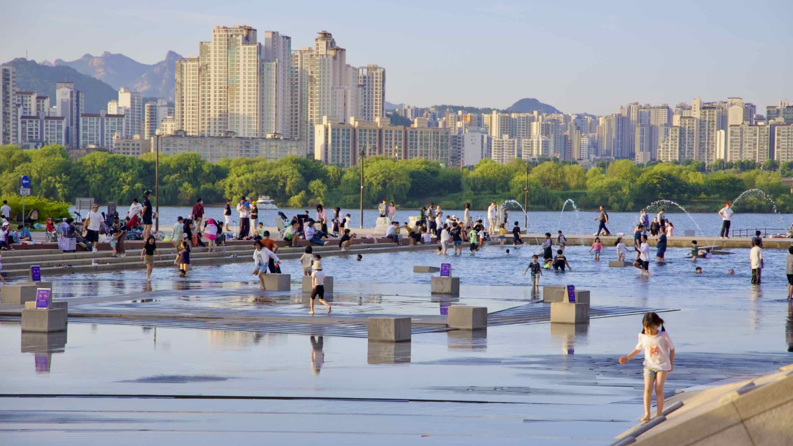
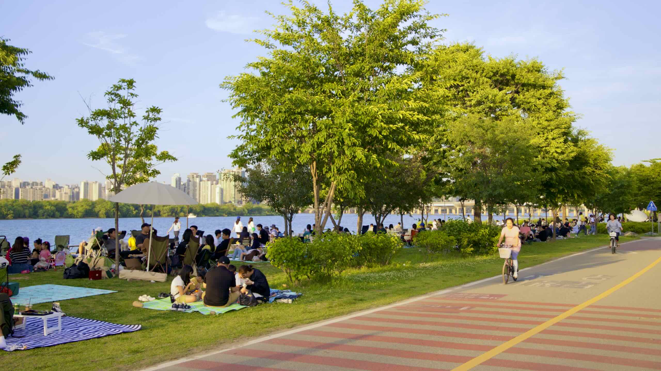
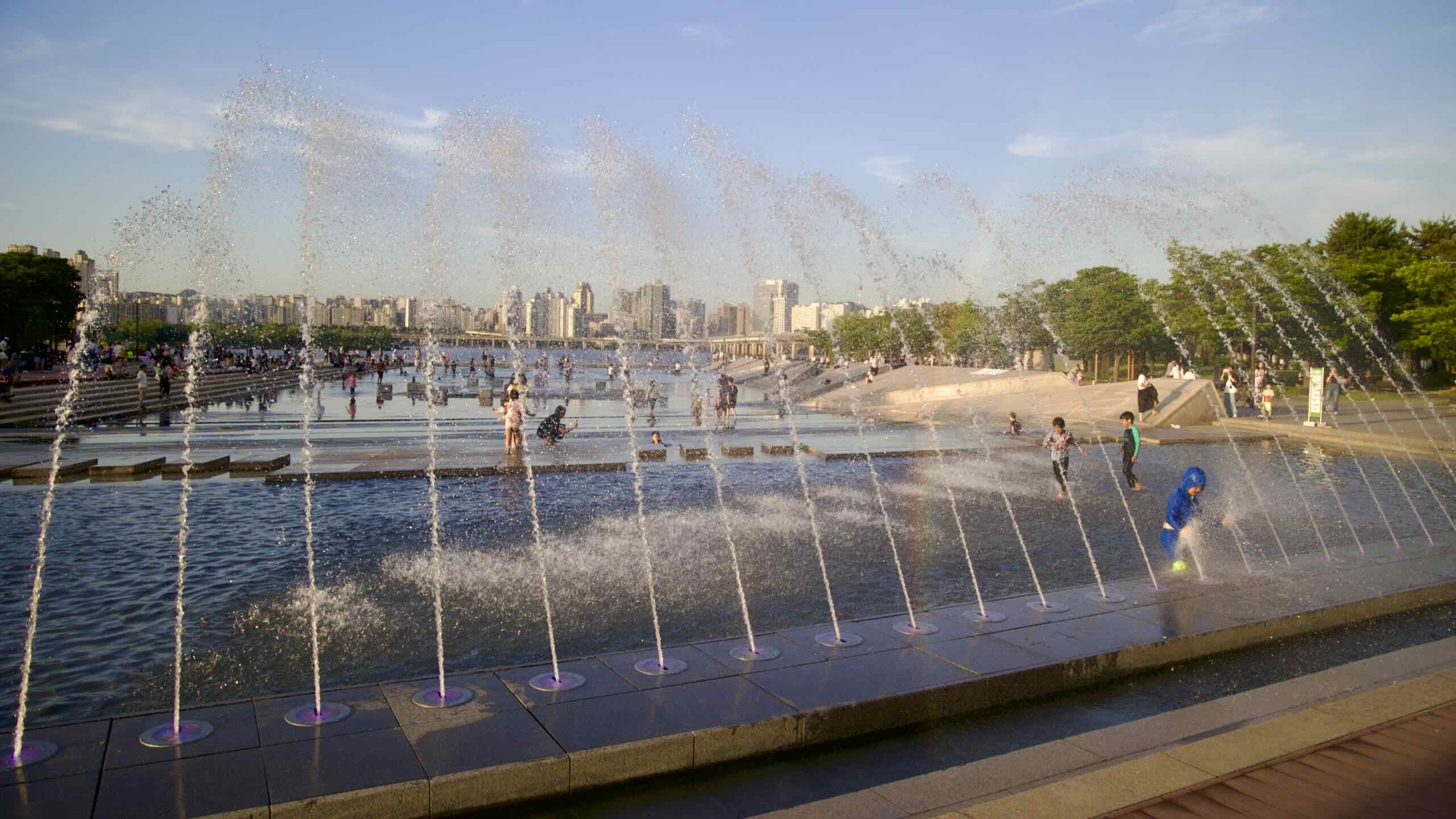
Hangang Parks Guides
The South Side’s bike path travels through a series of Han River (Hangang) Parks and one satellite city.
To make this guide more digestible, I divided the South Side course into eight pages. Each profiles a single Hangang Park or satellite city.
- Gangseo Hangang Park
- Yanghwa Hangang Park
- Yeouido Hangang Park
- Banpo Hangang Park
- Jamwon Hangang Park
- Jamsil Hangang Park
- Gwangnaru Hangang Park
- Hanam City
The guides run west to east along the Han River.
Are you cycling the Cross-Country Route from Incheon? Ride from the Ara Bike Path to Gangseo Hangang Park. From Gangseo to Yanghwa. Yanghwa to Yeouido. Et cetera.
The Hanam City guide flows onto the next section of the Hangang Bike Path: Bike Seoul to Yeoju.
Certification
Seoul’s South Side course has two advantages over the North Side.
- The Ara Bike Path, which opens the Cross-Country Route, connects with the South Side. No detour.
The South Side has all the certification centers (stamp booths) you need to complete the Hangang and Cross-Country Route certifications.
South Side (2):
- Yeouido Certification Center (여의도인증센터; map)
- Gwangnaru Bicycle Park Certification Center (광나루자전거공원; map)
North Side (1):
- Ttukseom Observatory Complex (뚝섬전망콤플렉스; map)
The Gwangnaru Certification Center stamp and the Ttukseom Certification Center stamp sit across the river from one another. If you grab one stamp, it will automatically count the other stamp.
Are you cycling along the North Side and want to complete the Hangang and Cross-Country certifications? You need to cross the Han and visit the Yeouido Certification Center. It doesn’t have a twin stamp on the opposite side of the river.
Hangang Park System
In 2007, Seoul created the Hangang Renaissance Project (한강르네상스 사업). What was the project’s goal?
- Restore the Han River’s ecology, ravaged by years of uncheck industrialization.
- Build infrastructure and landmarks to lure folks out of their homes.
- Create eleven parks along the river.
These eleven Hangang River Parks (한강공원) claim 99% of the riverbanks in Seoul. West to east they are:
- North Side:
- Nanji Hangang Park (난지한강공원; map) — 9.5 km from start (directions)
- Mangwon Hangang Park (망원한강공원; map) — 13 km from start (directions)
- Ichon Hangang Park (이촌한강공원; map) — 19.8 km from start (directions)
- Ttukseom Hangang Park (뚝섬한강공원; map) — 29.2 km from start (directions)
- South Side:
- Gangseo Hangang Park (강서한강공원; map) — 0 km from start (directions)
- Yanghwa Hangang Park (양화한강공원; map) — 6.9 km from start (directions)
- Yeouido Hangang Park (여의도한강공원; map) — 12.8 km from start (directions)
- Banpo Hangang Park (반포한강공원; map) — 17.3 km from start (directions)
- Jamwon Hangang Park (잠원한강공원; map) — 22.3 km from start (directions)
- Jamsil Hangang Park (잠실한강공원; map) — 28.7 km from start (directions)
- Gwangnaru Hangang Park (광나루한강공원; map) — 33.5 km from start (directions)