Seoul City icon

Gangseo
Hangang Park

Tour Gangseo Hangang Park on the Han River Bike Path in Seoul.
0 km (Seoul (South Side))
0%

Gangseo Hangang Park (강서한강공원; map) is the Hangang Park System’s westernmost park. Beginning on Seoul’s western city limits, it meanders through an ecological oasis before narrowing to a waterside walking and cycling path.

A picture of Gangseo Hangang Park (강서한강공원) in Seoul, South Korea.
The Han River and Olympic Boulevard converge and squeeze Gangseo Hangang Park into walking and cycling paths.

This is the first of eight Hangang Park guides that profile the cycling paths on the south banks of the Han River in Seoul.

  1. Gangseo Hangang Park
  2. Yanghwa Hangang Park
  3. Yeouido Hangang Park
  4. Banpo Hangang Park
  5. Jamwon Hangang Park
  6. Jamsil Hangang Park
  7. Gwangnaru Hangang Park
  8. Hanam City

Let’s check Gangseo’s backstory before cycling in the park.

Gangseo Hangang Park Profile

  • Length: 8.5 km (4th of 11)
  • Area: 1,035,463 m² (3rd of 11)
  • Start (West): Jeonho Bridge (전호교; map)
  • End (East): Gayang Bridge (가양대교; map)

Gangseo Hangang Park doesn’t have the flashy landmarks of Yeouido or the plentiful rec facilities of Ttukseom. But what the park lacks in glitz, it makes up for in green.

Park designers designated most of the park’s area for wildlife. Its borders hold protected ecological wetlands and dirt walking paths.

Han River Re-Un-Transformation

The old Han River was tempestuous. Loose sediment and sandbars formed its belly. With frequent floods, the waterway’s topography shifted, redirecting water flow. A storm on Tuesday changed the navigation routes, stranding boats on Wednesday.

Gangseo District

Gangseo Hangang Park gets its name from Gangseo District (강서구; map), the area where it lives.

Let’s take the name apart.

  • Gang (강) — “river”
  • Seo (서) — “west”

The district ranks second in population, behind the Songpa District (송파구; map). And it’s second in size behind only the Seocho District (서초구).

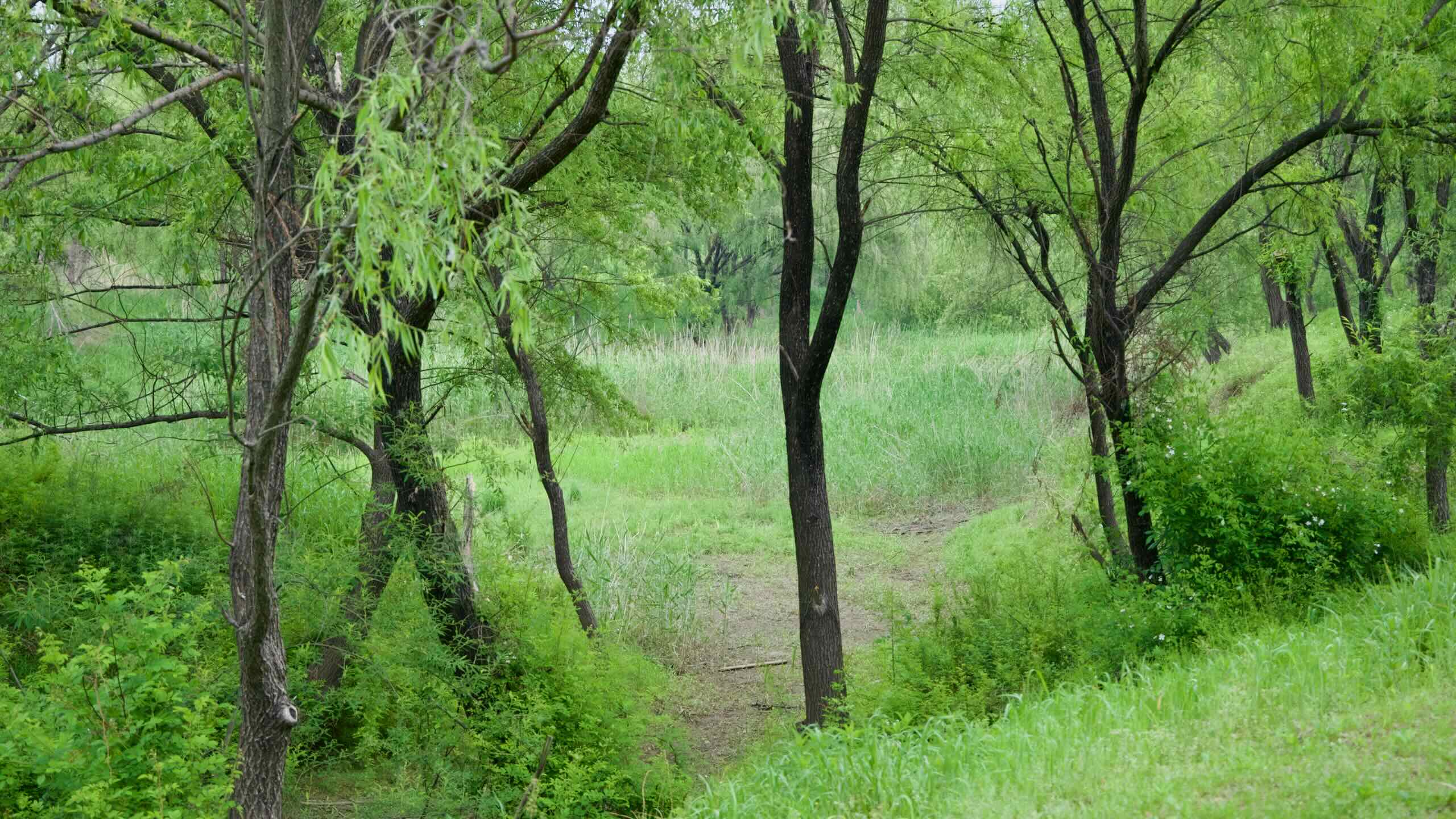
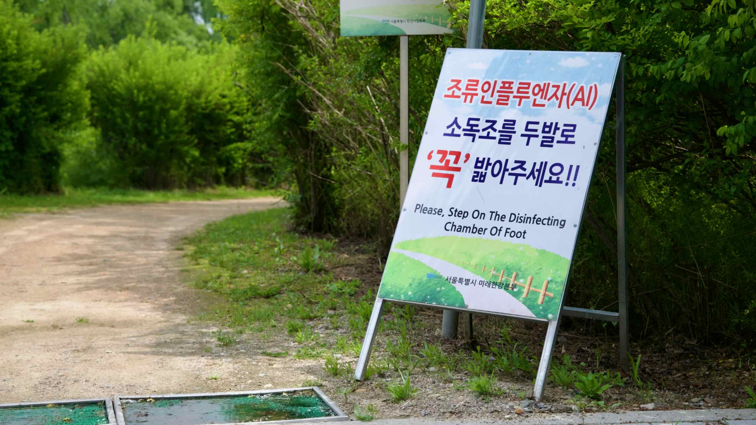
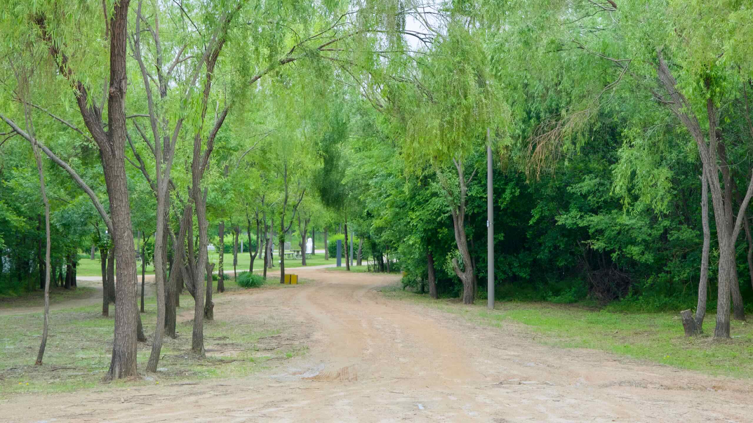
Much of Gangseo falls within Seoul’s greenbelt. Established in the 1970s, the greenbelt restricts urban development along the megacity’s outer perimeter and forces Gangseo to designate chunks of land for parks and agriculture. The greenbelt limitation, however, makes Gangseo the last district in Seoul that grows rice.

Gangseo History

During the Joseon Dynasty (대조선국; 1392 ACE ~ 1897 ACE), Gangseo was a part of Yangcheon County (양천군), which sat across the river from Hanseong (한성), the kingdom’s capital.

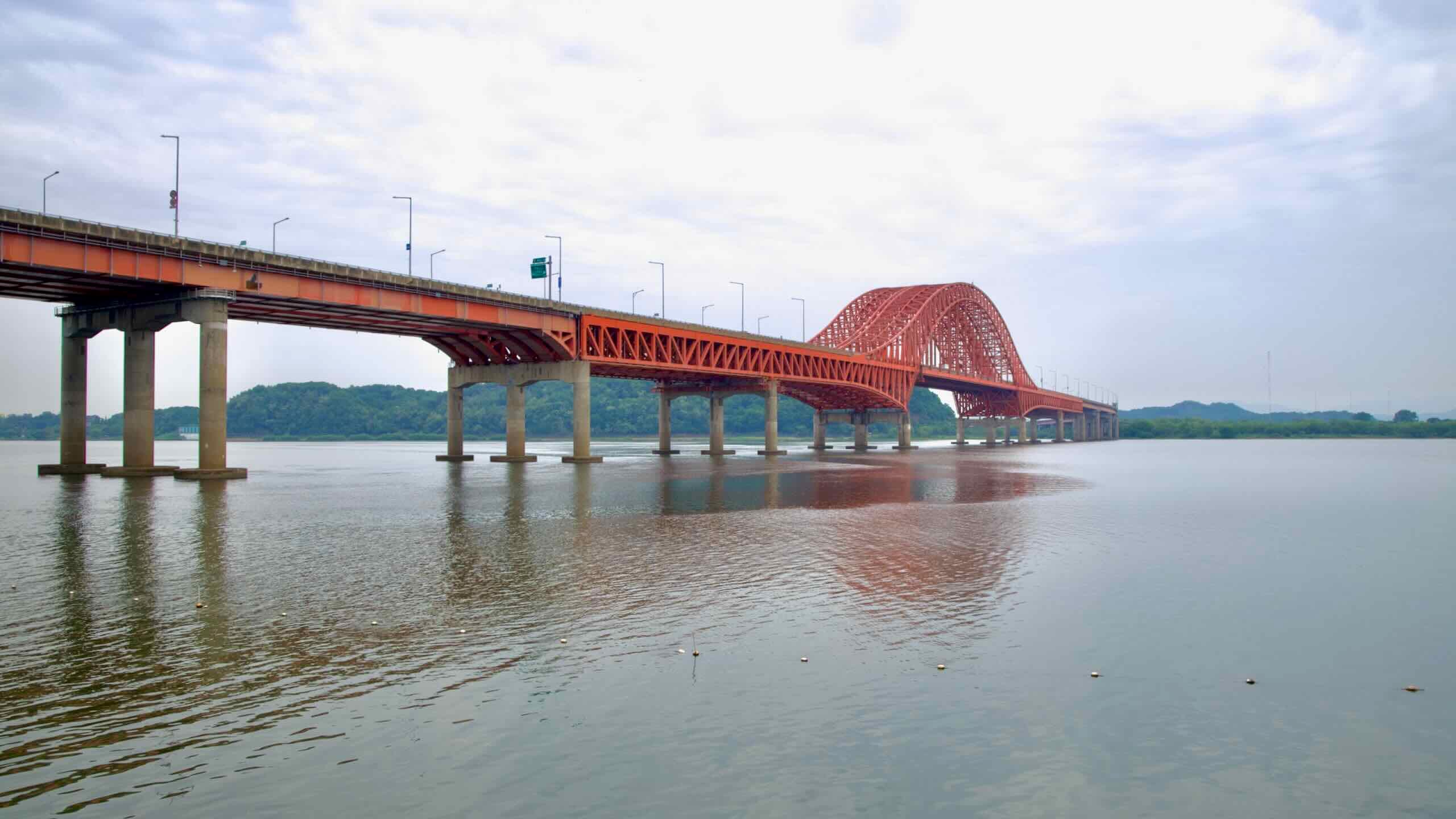
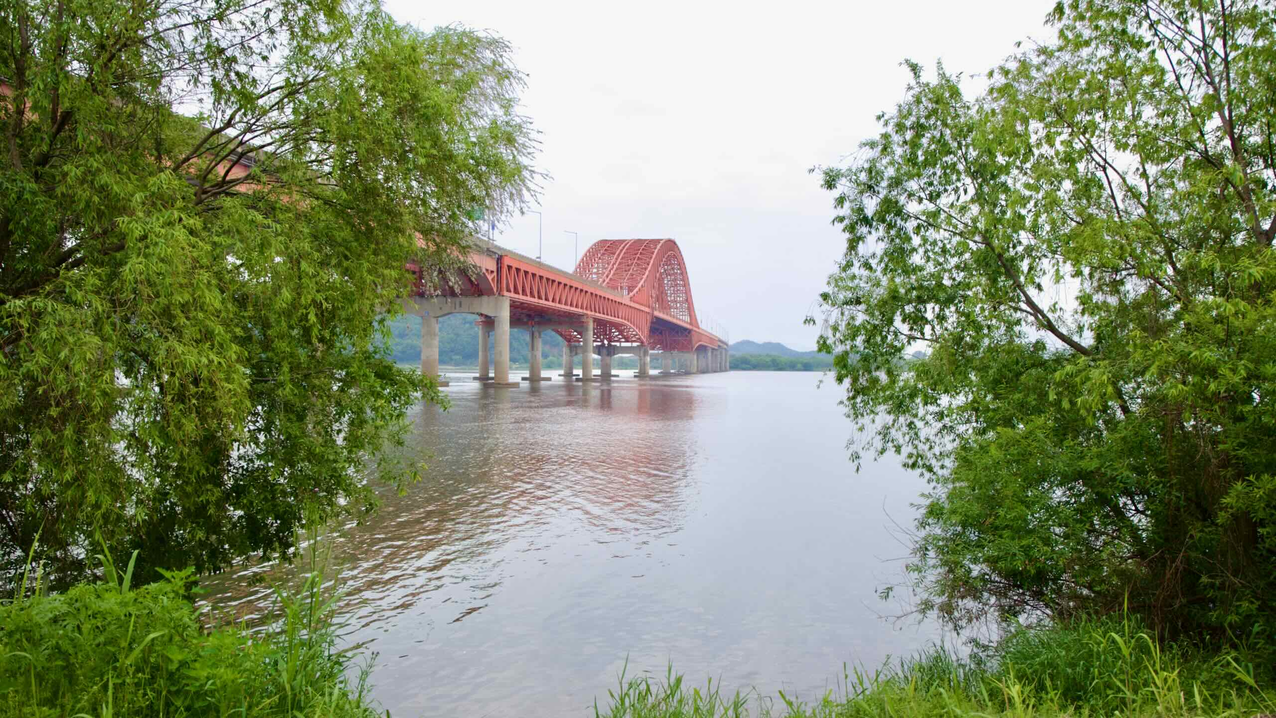
Under occupation, Japanese administrators merged Yangcheon with Gimpo City (김포시; map) in 1914. In 1963, Seoul hopped the Han River and snatched parts of Gimpo, which retreated northwest.

The area became the Yeongdeungpo District (영등포구; map), which Gangseo broke away from in 1977.

Gangseo Air

With all that border shuffling, one peculiarity emerged.

Seoul’s first airport sat on Yeouido Island (여의도; map) from 1916 until 1971. The city quickly outgrew Yeouido’s tiny airstrip. So they built Gimpo International Airport (김포국제공항; map).

The name — “Gimpo Airport” — made sense when it first opened in 1958. It lived in Gimpo. But five years after it opened, Seoul’s borders hopped the river and gobble up land where the airport sits.

Gimpo Airport’s government changed. But its name stayed the same.

Airfare

Korea opened Incheon International Airport (인천국제공항; map), the nation’s premier airport, in 2001. But Gimpo International Airport held the crown for many decades before. So the Gangseo District keeps a cluster of air transportation institutions:

Cycle Gangseo Hangang Park

So you chose the South Side. Let’s start where the Ara Bicycle Path concluded, the Ara Hangang Lock (map) certification center.

Where are you? Atop an embankment, watching the ancient Han River’s current (road view).

Climb aboard your metal steed and glide down into Gangseo Hangang Park, the first of seven riverside parks along Seoul’s South Side.

Wind around swaying reeds as you start your journey up the Han River.

Haengju Bridge in Seoul's Gangseo Hangang Park.
Haengju Bridge in Gangseo Hangang Park lets riders quickly cross to the bike path on the north side of the Han River.

Gangseo Wetland Ecological Park

What is this place? Gangseo Ecological Park (강서습지생태공원; map). This government protected area is dedicated to preserving river-dwelling plants and animals from development-addicted investors.

To safeguard nature, the park’s nature trails are unpaved. They employ dirt paths that weave into thickets, or use raised boardwalks to float above marshlands. 

The park also offers camouflaged nature watching shelters. Visitors can peek through cutouts and spot herons and mallards feeding in the swaying reeds. 

Gangseo Eco Park is the largest of Seoul’s Hangang Park System protected ecosystems.

Haengju Bridge

A kilometer into Gangseo Park, cycle under Haengju Bridge (행주대교; map).

Do you regret choosing the South Side already? Find a fork in the path ahead (road view). Now’s your chance to make a change.

  • Turn right to cross the Haengju Bridge to the North Side.
  • Keep left to continue along the South Side.

Banghwa Bridge

3 km (Seoul (South Side))
5.6%

Sticking to the South Side? Keep pedaling through Gangseo’s eco-paradise. Between buzzing ecosystems, find bathrooms and a convenience store.

Stop! Glance to the river (road view). Find the burnt orange trusses of Banghwa Bridge (방화대교; map; impossible to cross).

Bike and Banghwa Bridge on the Hangang Bike Path.
Banghwa Bridge's burnt orange trusses resemble an airplane taking flight; a nod to nearby Gimpo Airport.

According to its designers, the bridge’s 540-meter double arches resemble an airplane lifting off (aerial view). An ode to the nearby Gimpo Airport.

At night, from Gangseo Park or on the North Side’s Haengju Mountain Fortress, gawkers can marvel at the bridge’s metal lattice bathed in light (picture).

Silver O’Green

Ride under Banghwa Bridge. The Han River and Olympic Boulevard (올림픽대로; map) converge and squeeze Gangseo Park’s mushy meadows into three narrow strips: a walking path, bike lands, and a sliver of green between.

A picture of Gangseo Hangang Park (강서한강공원) in Seoul, South Korea.
The Han River and Olympic Boulevard converge and squeeze Gangseo Hangang Park into walking and cycling paths.

Olympic Boulevard

Like Gangbyeon Expressway (강변북로; map) on the North Side, Olympic Boulevard tracks the south banks of the Han River through Seoul.

Engineers built this 8-lane highway between 1982 and 1986 for the 1988 Summer Olympics. The road improved access to the Songpa District, where most of the games occurred.

River & Highway

The next five kilometers present wildflower embankments and murmuring river currents (directions).

Five access points let riders enter and exit the riverside and dip into the Gangseo District. Many feature rest areas, viewing platforms, and bathrooms (road view).

Halfway down the “sliver o’green” stretch, overpasses swirl above and converge on Gayang Bridge (가양대교; map).

A picture of Gangseo Hangang Park (강서한강공원) in Seoul, South Korea.
Gangseon Hangang Park's bike paths below Gayang Bridge.

Gayang Bridge provides an elevator that lifts cyclists and walkers from the bike path to its top deck.

Cross the river and find another elevator (road view). Ride it down into Nanji Hangang Park on the North Side.

Gayang Bridge marks the end of Gangseo Hangang Park. Say an-nyeong-ha-sā-yō (“hello”; 안녕하세요; 🔈) to Yanghwa Hangang Park.