Tour Gwangnaru Hangang Park on the Han River Bike Path in Seoul.
36.2 km (Seoul (South Side))
67.5%
Gwangnaru Hangang Park (광나루한강공원; map) is Seoul’s largest and easternmost riverside park. Gwangnaru’s waters and marshy underbelly are protected by the law from dumping and development, making it a haven for riverside reeds and migratory birds.
Gwangnaru Hangang Park is the largest and longest riverside park in Seoul. It spans two districts — Songpa and Gangdong — and features a few unique attractions:
During the Joseon Dynasty (대조선국; 1392 ~ 1897), Gwang Port was one of five major ports near Hanseong (한성), Korea’s ancient capital and now Seoul’s Jongno and Jung Districts. The king appointed a naval officer to protect Gwangnaru because it was a strategic ferry crossing.
Jongno and Jung Districts formed the two halves of Hanseong (한성), the capital of the Joseon Dynasty (조선; 1392 ~ 1897).
But Gangdong does one better: the Amsa Prehistoric Site (암사선사주거지; map), the most significant prehistoric settlement discovered on the Korean peninsula.
Let’s get back on Gwangnaru Hangang Park’s cycling paths. From the Songpa Trail intersection, keep left and follow the Han River east.
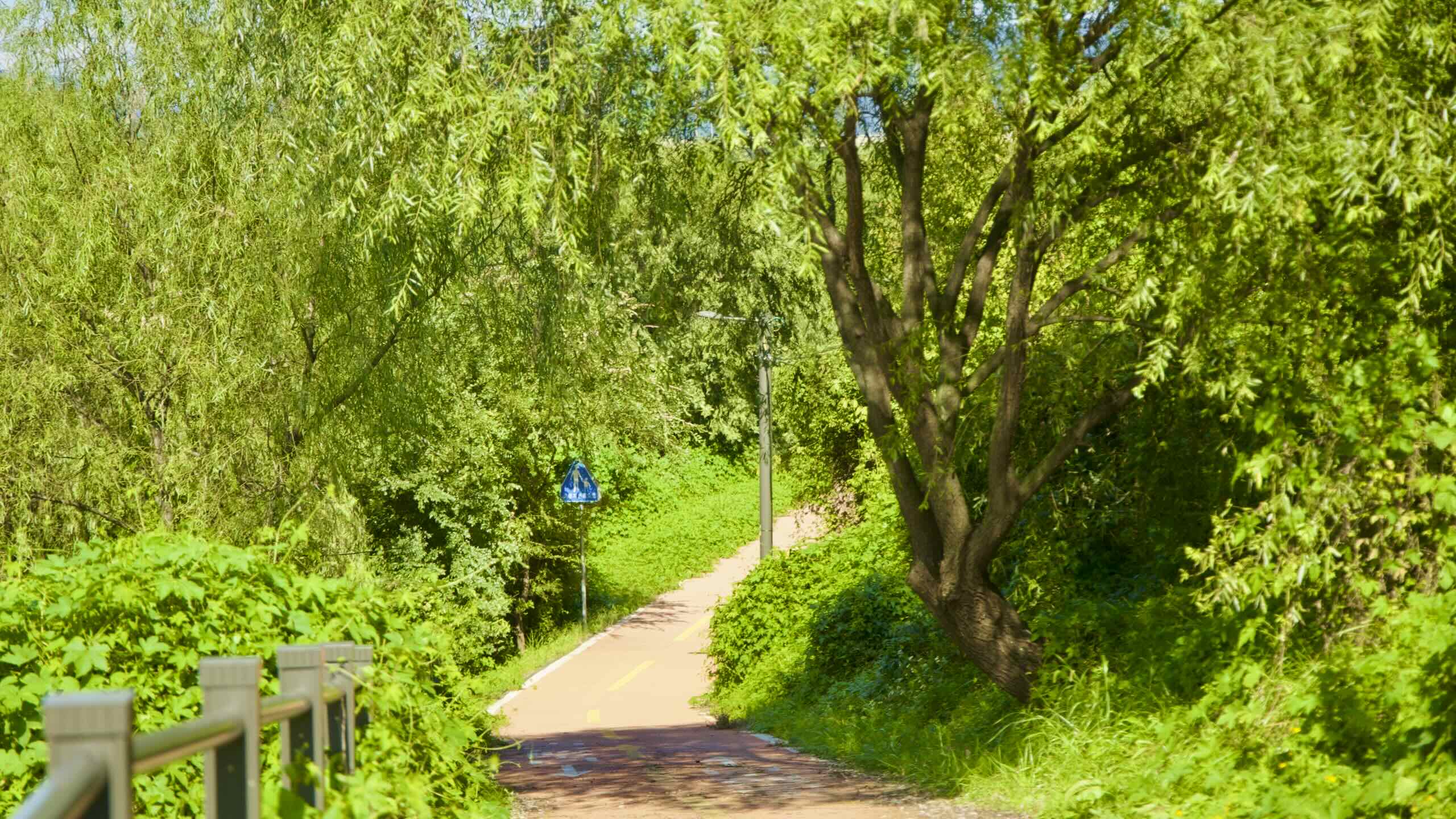
Ride by trees with nets of hanging leaves. Venture down a side path and find a dirt walking trail lined with benches and unspoiled ecosystems closer to the river.
Over tall reeds, glance to the Han River and find Olympic Bridge (올림픽대교; map). Admire the bridge’s 24 cables radiating from four central pillars arranged in a pyramid (road view).
At night, golden lights bathe silvery flames in Olympic Bridge’s crowning caldron.
Along with Olympic Park and Jamsil Sports Complex, Olympic Bridge was one of many infrastructure projects built to prepare for the ’88 Summer Olympics. It would have connected northern Seoul districts to the sports venues south of the Han River.
Cable-stay bridges require less time and money. But, they’re complex. The design only became popular with advanced computer modeling and construction techniques. Modern smartphones have thousands of times more processing power than a top-of-the-line 80s computer.
A series of setbacks and a partial bridge collapse delayed the Olympic Bridge’s opening until November… 1989, more than a year after the Olympic Games’ closing ceremony.
Today, come nightfall, golden lights bathe silvery flames in a caldron on top of the bridge’s central tower, reminding Koreans of their rise from post-war destitution to an Olympic host nation in a few remarkable decades.
Gwangjin Bridge
Continuing cycling upriver, deeper into Gwangnaru Park.
Trees and dirt paths accompany the river’s edge. A green embankment keeps Olympic Boulevard at a distance. And overhead speed traps remind cyclists to keep a safe speed.
The first bridge, Cheonho, boasts a wide deck and offers a good point to cross the Han River. But the second bridge, Gwangjin, provides an outstanding:
Want to cross to the North Side? Take an off ramp on the east side of Gwangjin Bridge (road view). Climb to the bridge’s deck. Cycle across, then spiral down another ramp into the east end of Ttukseom Hangang Park (road view).
Gwangjin Bridge’s east-side sidewalk is for pedestrians only. Its west-side sidewalk is bike-only.
The Riverview 8th Avenue clings to Gwangjin Bridge’s underbelly (road view). It features a viewing deck that wraps around two glass-walled lounges.
Riverview 8th Avenue’s north lounge is a small concert space. A cafe with tables, a small library, and bean bag chairs occupy the north lounge. Both lounges feature tempered glass floor panels that allow visitors to gaze down at the rushing Han River waters below (video).
The outdoor, wrap-around observation deck never closes. But the lounges have limited operating hours.
According to legend, during the Three Kingdoms, a Baekje king invited Lady Domi, the wife of a commoner named Dommi, to his palace. The king had heard stories of her beauty and loyalty. He wanted to abuse his power test her fidelity.
Lady Domi escaped the king’s coercions and fled to the Han River. A boat appeared and carried her back to her husband.
Let’s check out one last Gwangnaru Bike Park feature! Between the bike path and a convenience store, a little red booth perches beneath a shady tree (road view).
After collecting the last Certification Stamp in Seoul, ride east, away from Gwangnaru Bicycle Park. Pass a stretch of back-to-back recreation courts. Near the end, find a path that leads through a parking lot to an underpass (road view).
Venture 1.2 kilometers into the Gangdong District (directions) and discover the Amsa Prehistoric Site (암사선사주거지; map), a preserved Neolithic excavation site and museum.
In 1925, a great flood on the Han River washed away thousands of years of topsoil, revealing an ancient village in the Amsa Neighborhood (암사동; map).
Locals intended to explore the area. However, Japanese Occupation (1910 ~ 1945) and the Korean War (1950 ~ 1953) sapped Korea’s resources.
After the country gained economic traction in the 70s, archeologists picked up their brushes and began a thorough exploration of the site. They discovered three eras of Korean civilization.
Arrive first at Amsa Ecological Park (암사생태공원; map), a rural stretch filled with uncontrolled reeds and wild flowers.
Seoul sent scientists to study the eco park when they designated it a conservation area in 2002. They found a grid of slapdash walking paths that locals used to enjoy the scenery. But they also destroyed habitats, petrifying birds, fish, and frogs, who avoided laying their eggs in the chaos.
So in 2007, the government pulled out concrete revetments used to tame the Han River, established native reed colonies, and closed many of the walking trails, creating a buffer zone between the wildlife and humans.
Now Amsa Eco Park is a protected paradise for threatened species. Visitors can tour the eco park on select dirt trails and boardwalks, which float over the park’s marshy underbelly, catching glimpses of hawks, kestrels, and buzzards.
Amsa Pass
Bend around the Han River in Amsa Eco Park and come to Guri Amsa Bridge (구리암사대교; map; good crossing point). Slide under the bridge’s swirling ramps and feel your pedals morph into lead.
The last forty kilometers of bike path maintained a comfortable 0° incline… Until now.
Welcome to the Amsa Pass (암사고개; map; aerial view), a 1.3-kilometer long, 51-meter tall hill with a 4.6% gradient — the steepest incline on Seoul’s South Side bike path (directions).
Amsa Pass mirrors the North Side’s Mieumnaru Pass in almost every category.
But Amsa Pass has one dangerous ingredient: people. Lots of people. People of all ages and experience levels. Carbon spinners. Jacket-flapping commuters. Lane-splitting daters.
To stay safe on Amsa Pass, follow basic safety rules or you’re gonna have a bad time.
Keep your lane.
Be defensive. Expect other people to make mistakes.
Like the Amsa Eco Park, its downriver twin, Seoul designated Godeok Eco Park a conservation zone in the 2000s. Scientists minimized human infrastructure by removing concrete embankments and invasive walking trails.
Today, tourists can visit Godeok Eco Park at the head of Godeok Stream (고덕천; map) and stroll willow and eucommia tree forests, spot rare sandbars in the Han River, or listen to an insect and bird chorus.
End of Seoul
Hop over Godeok Stream, shoot onto a raised embankment, and pass under Gangdong Bridge (강동대교; map; impossible to cross).
A simple metal gateway welcomes cyclists to Hanam City, which sits just east of Seoul.
A simple metal gateway waits in a tunnel of branches (road view). Painted on top, in bold white letters, read: