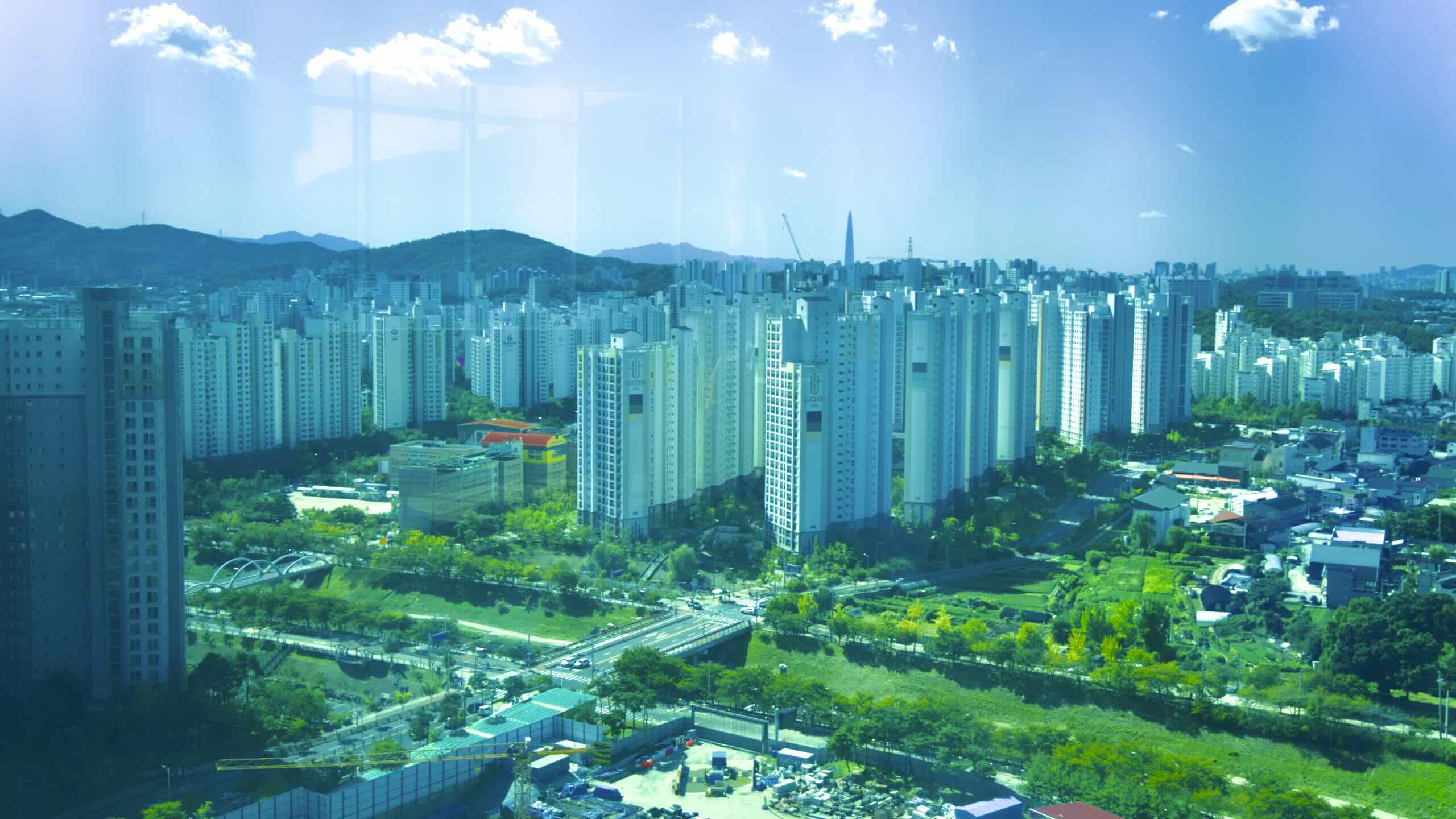
Hanam City arose later than most of Seoul’s commuter cities or “bed towns.” First established in 1989, the city sits on the capital’s eastern flanks, holding stations for Seoul Subway’s Line 5 and the Gyeongui–Jungang Line.
For over six centuries, Baekje ruled a southwestern chunk of the Korean peninsula. They became the first of the Three Kingdoms to control the Han River.
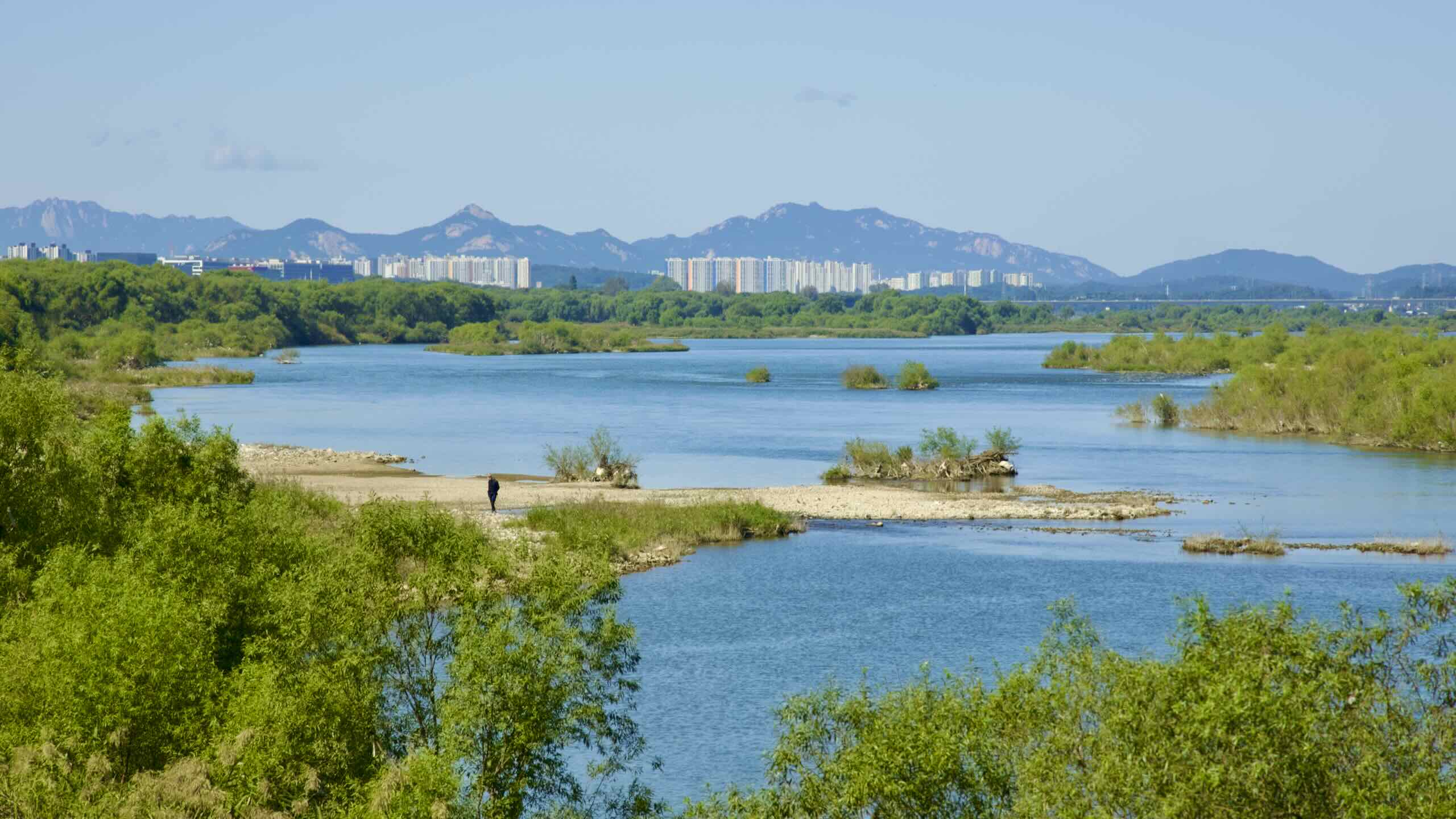
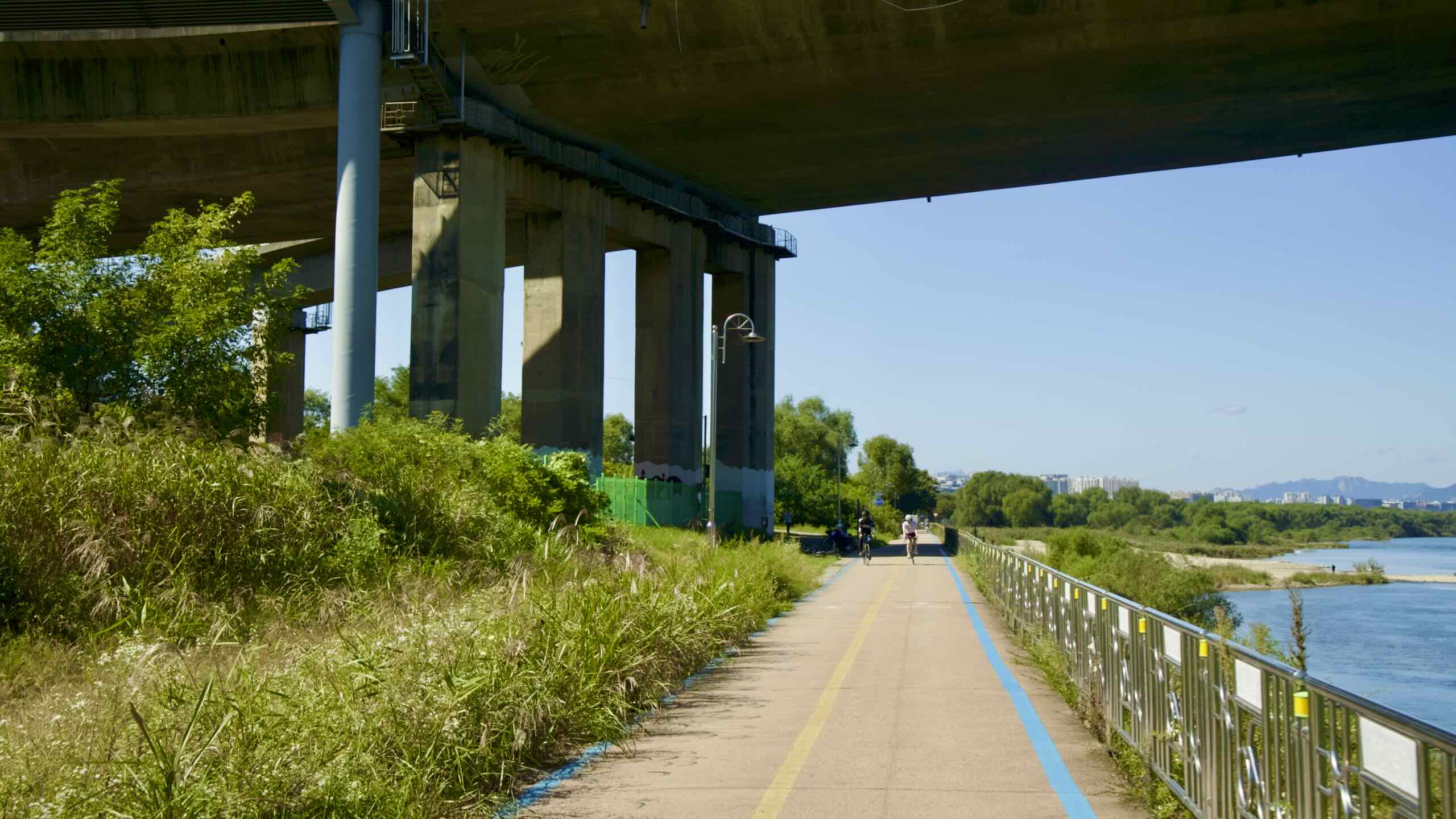
Seoul city has ended. But Hanam City carries the final 12 kilometers of Seoul’s South Side bike path (directions). The true finish line is Paldang Bridge (팔당대교; map), where the Namhangang (South Han River) portion of the Hangang Bike Path begins.
Bye, Bye Olympic Boulevard
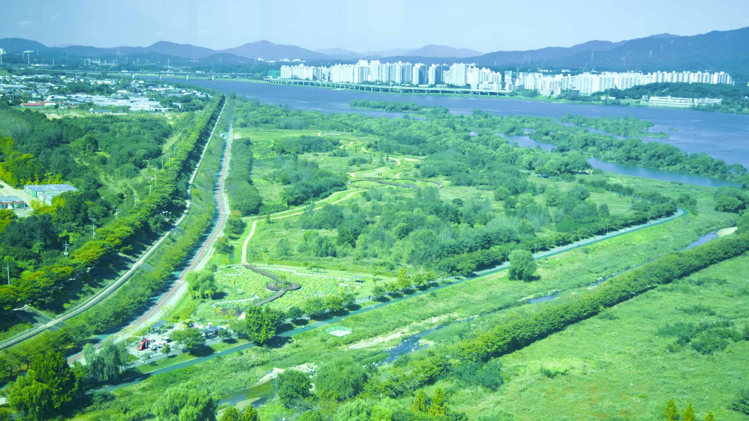
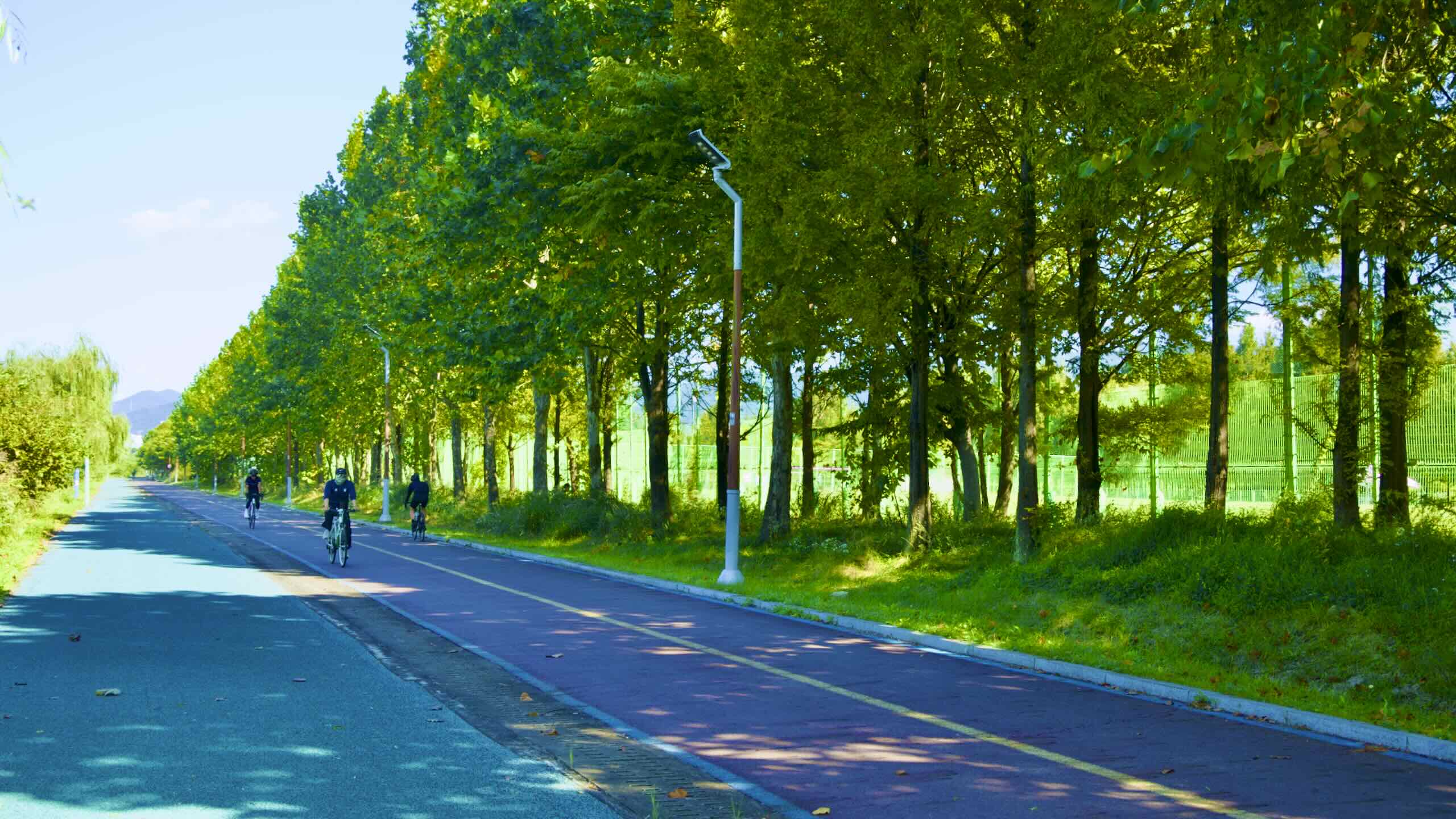
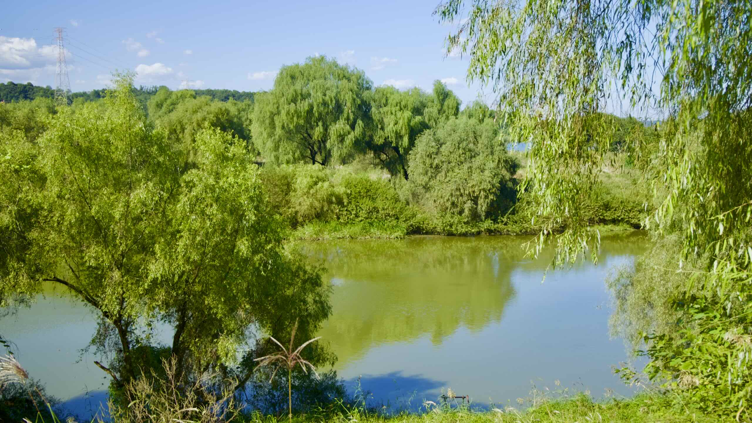
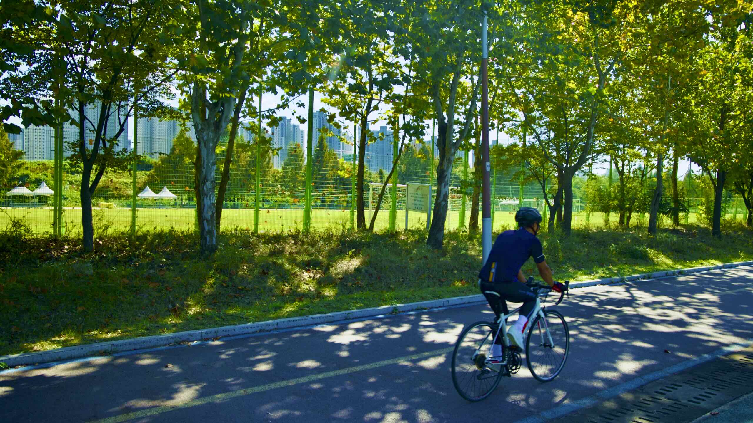
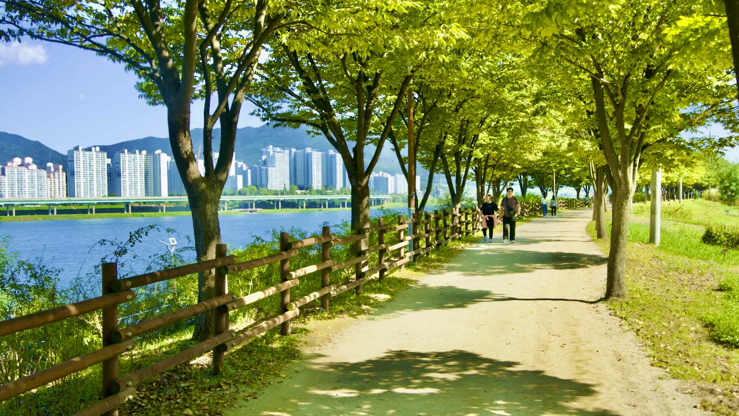
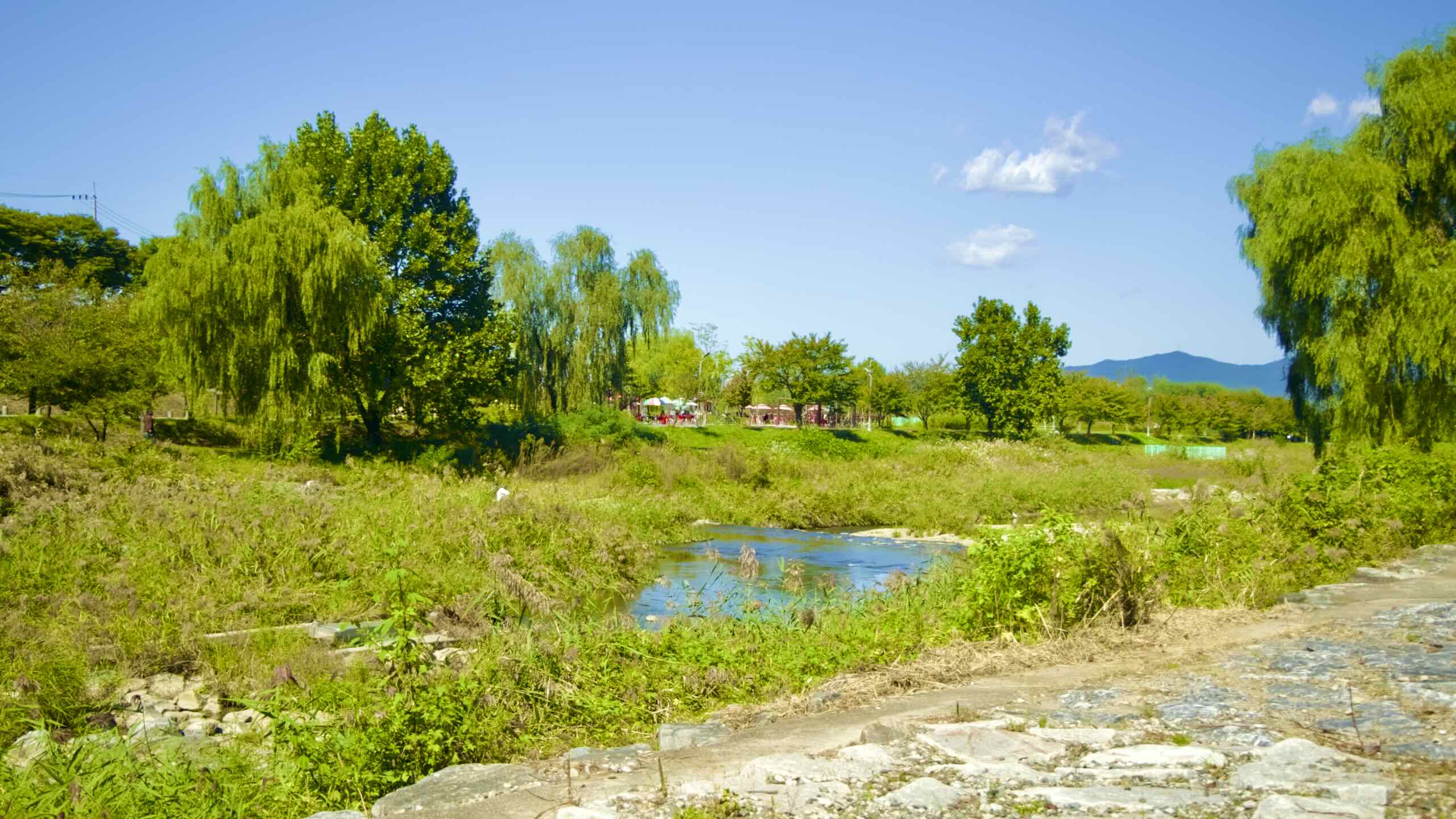
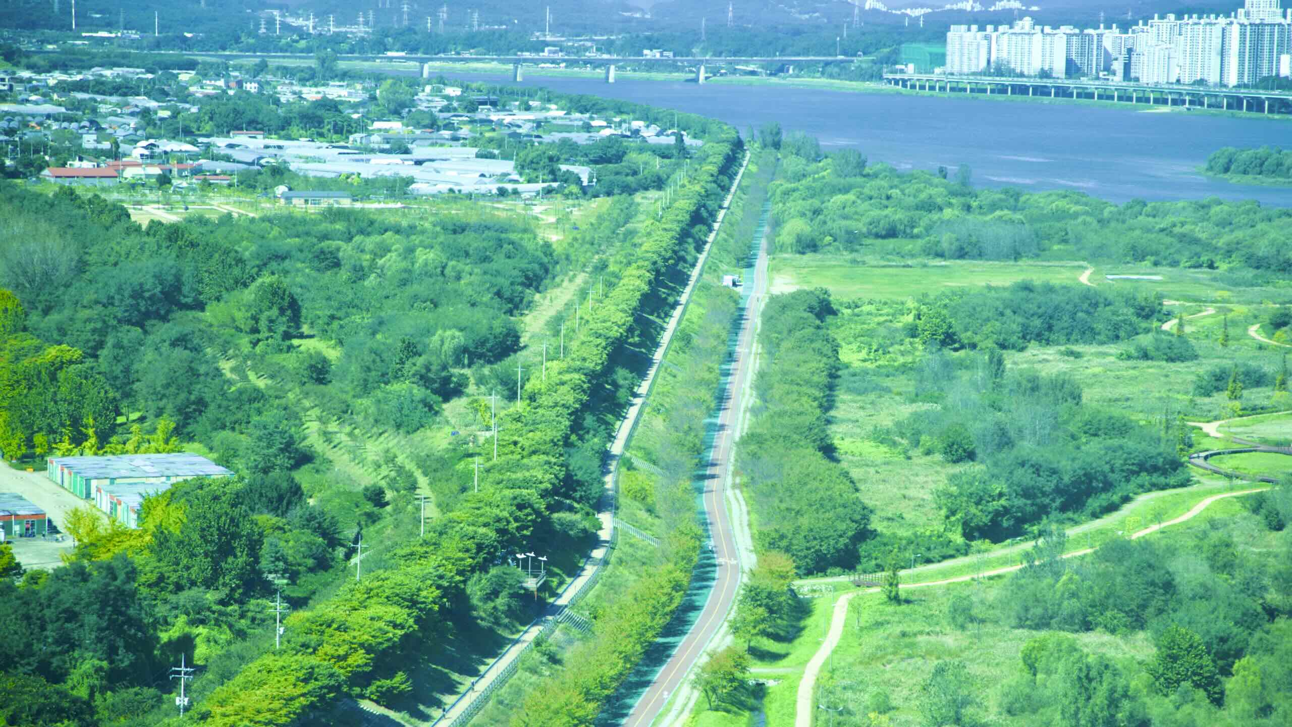
Cycle down a raised embankment lined with trees. Whip onto a stretch lined with sports fields and green river islands.
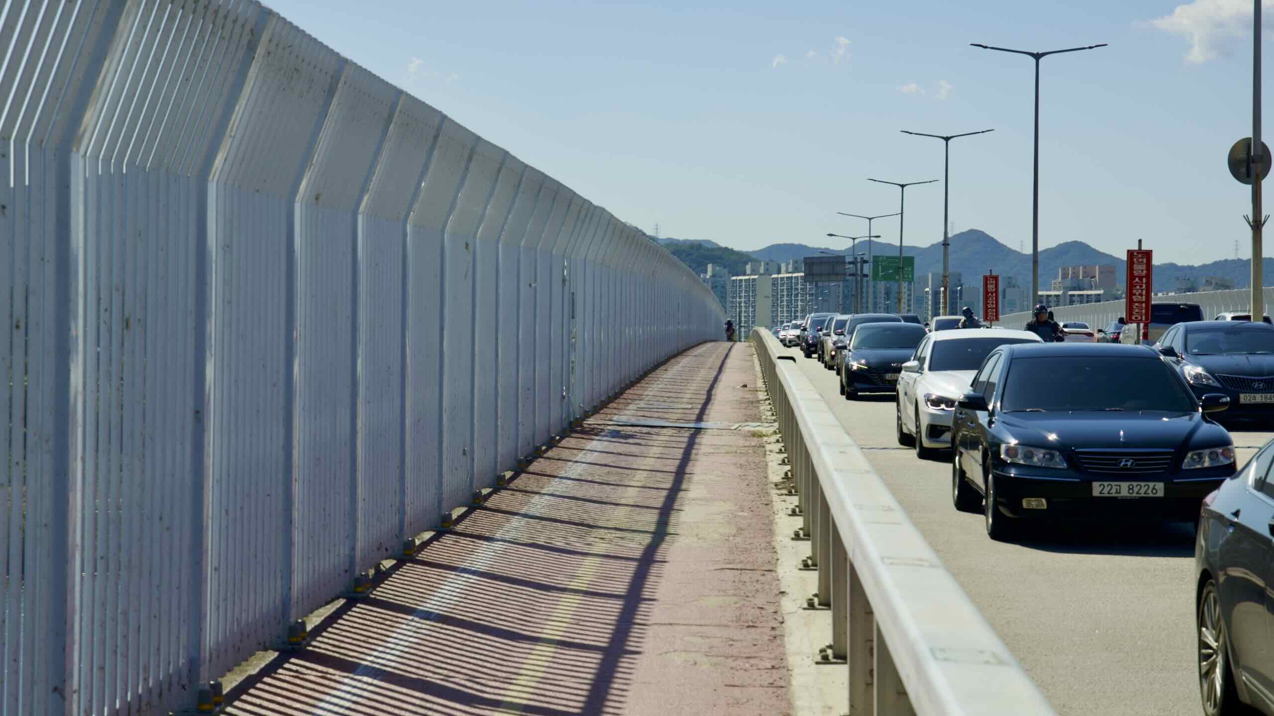
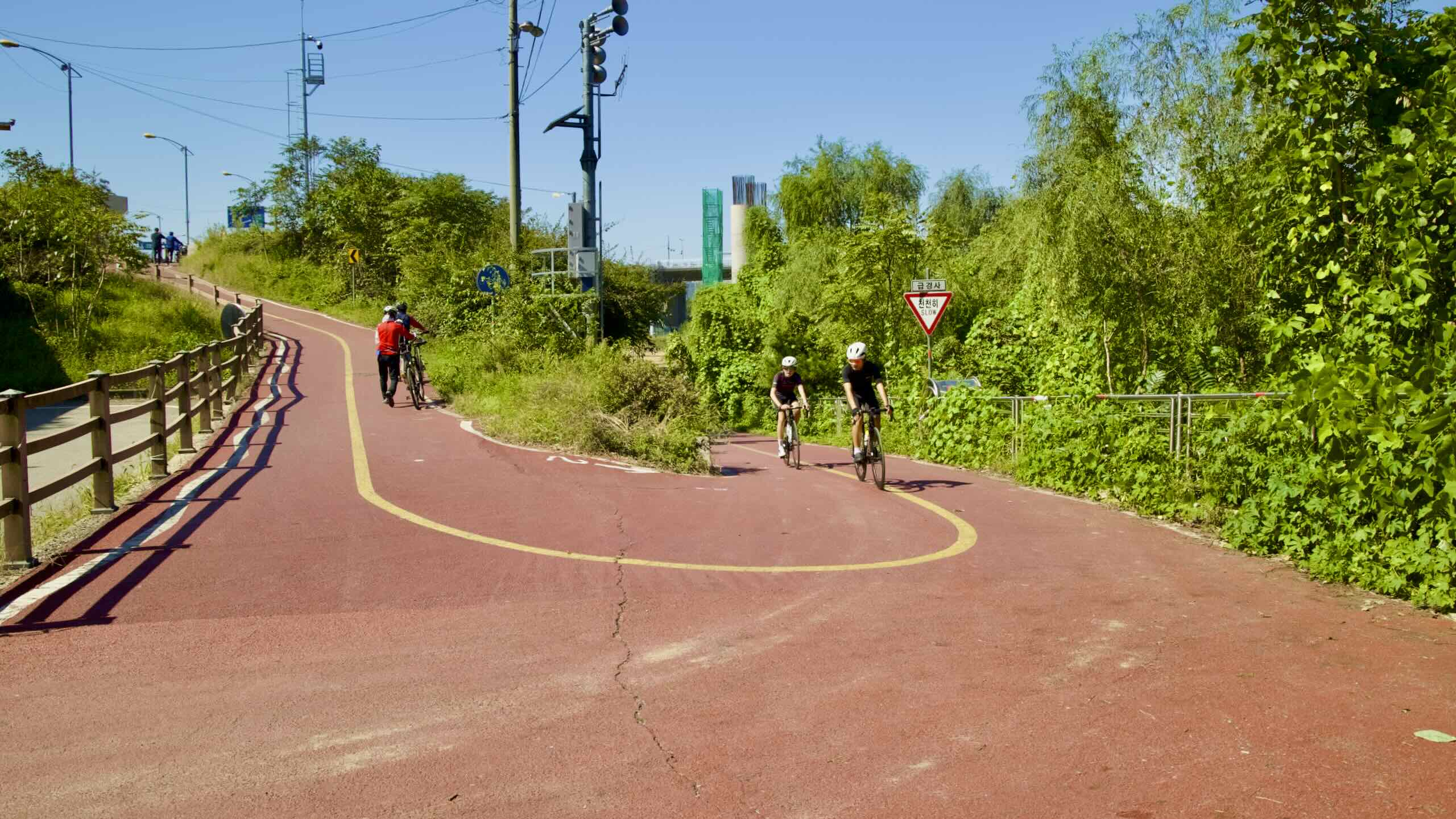
Be careful! Some velocity chasing cyclists think they can squeeze past you on the narrow lanes. Don’t give way. Let them ring and shout. Passing isn’t safe.
The Alternative Path
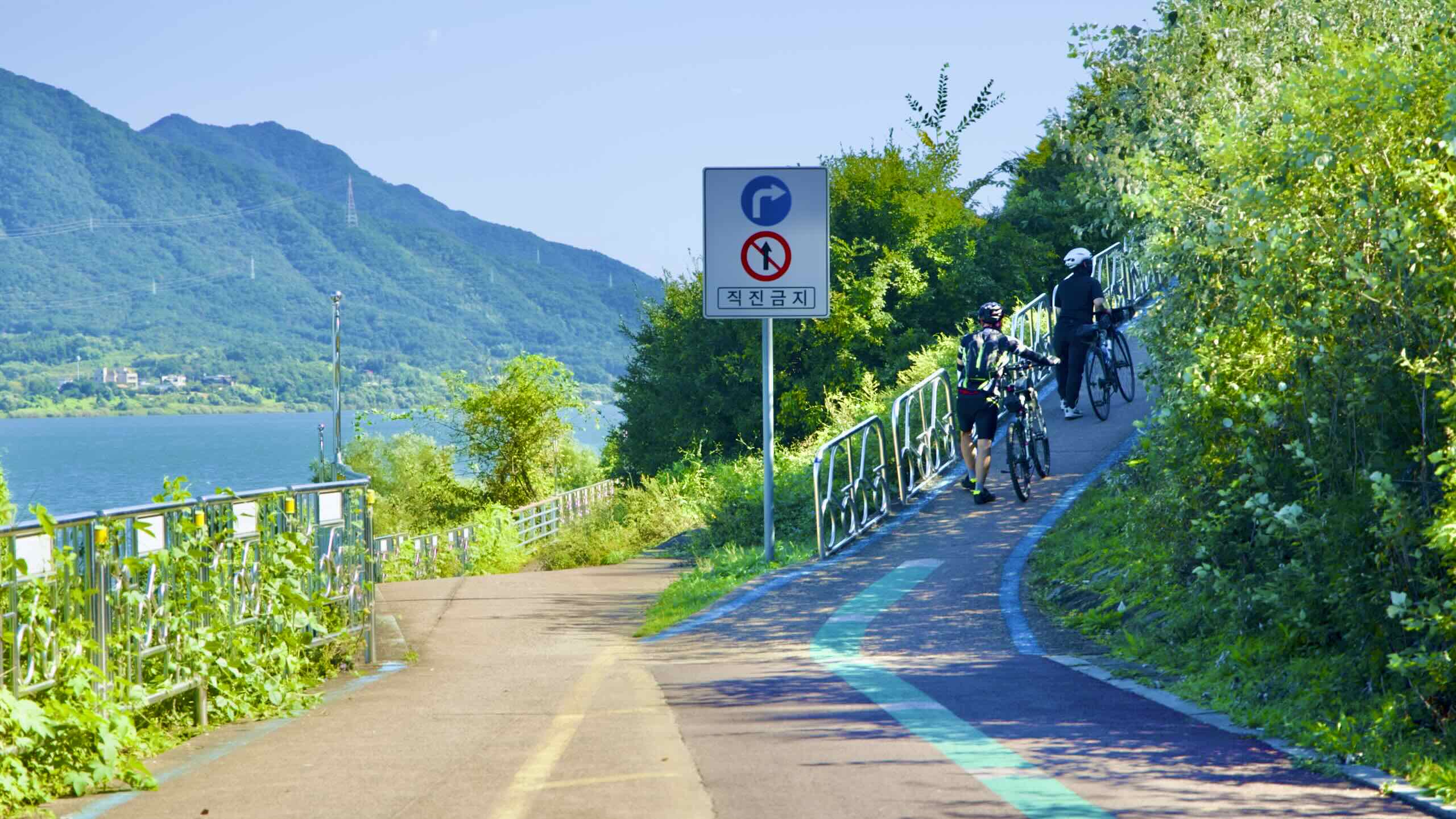
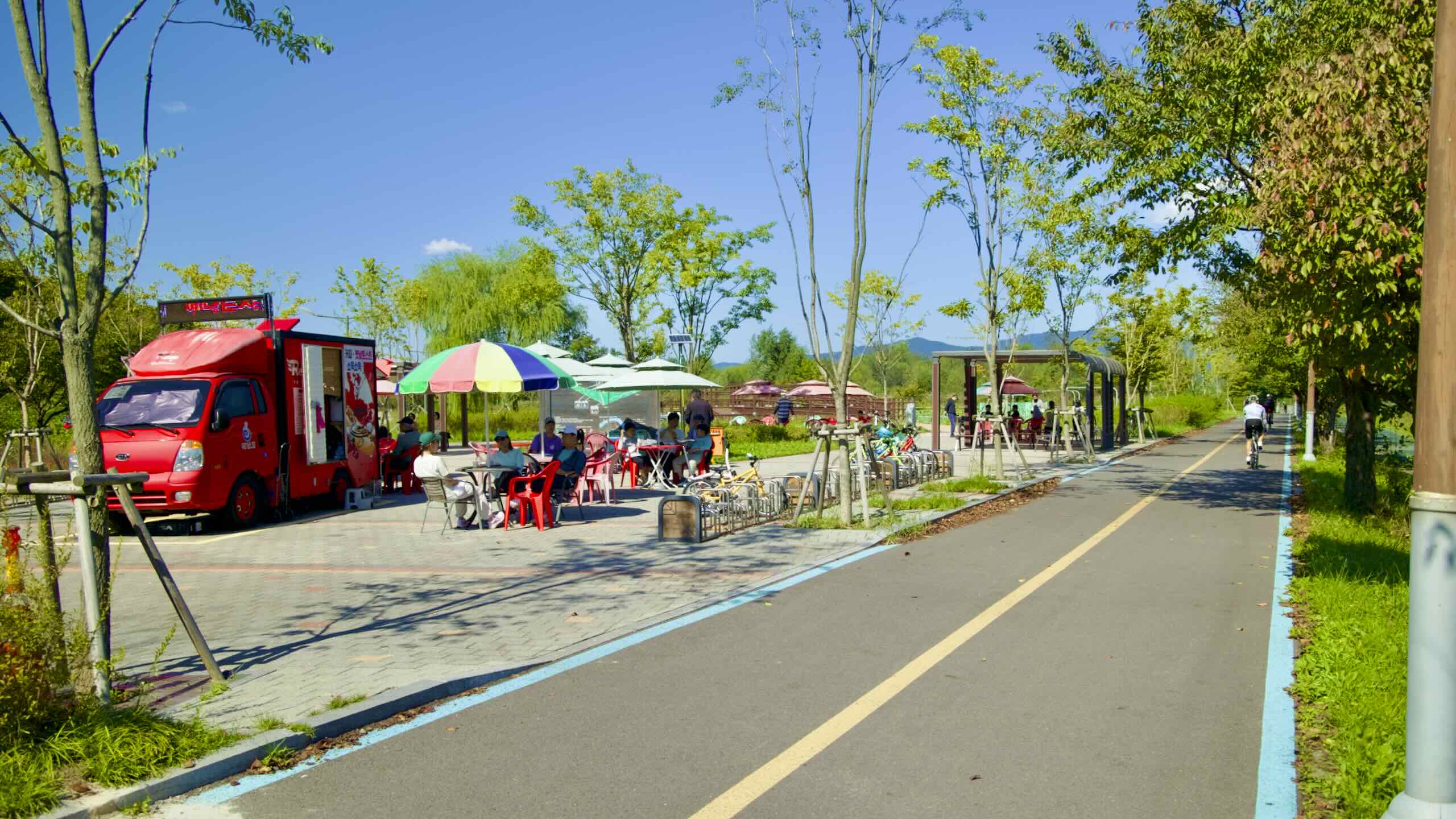
Don’t like the split cycling lanes in Hanam City? Midway down the split, a riverside park offers a two-way bike path.
Don’t like the lane split? A riverside park arrives after two kilometers. It offers a two-way bike path along the river (road view).
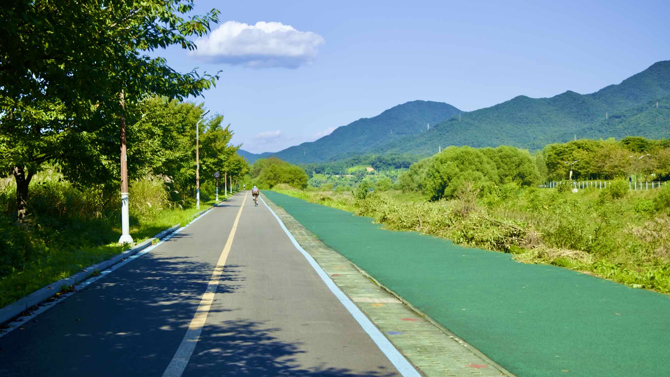
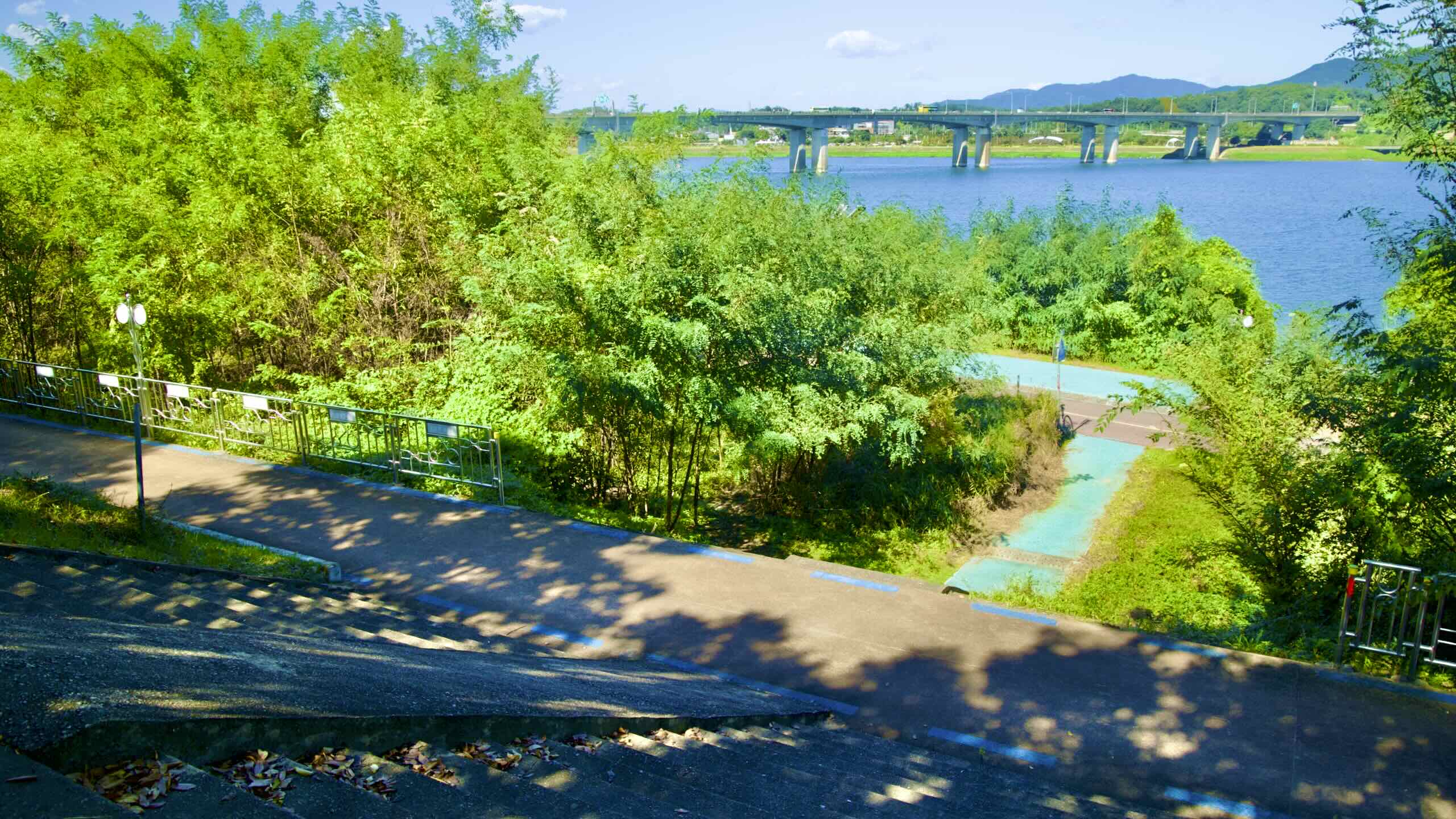
So now there are three lanes:
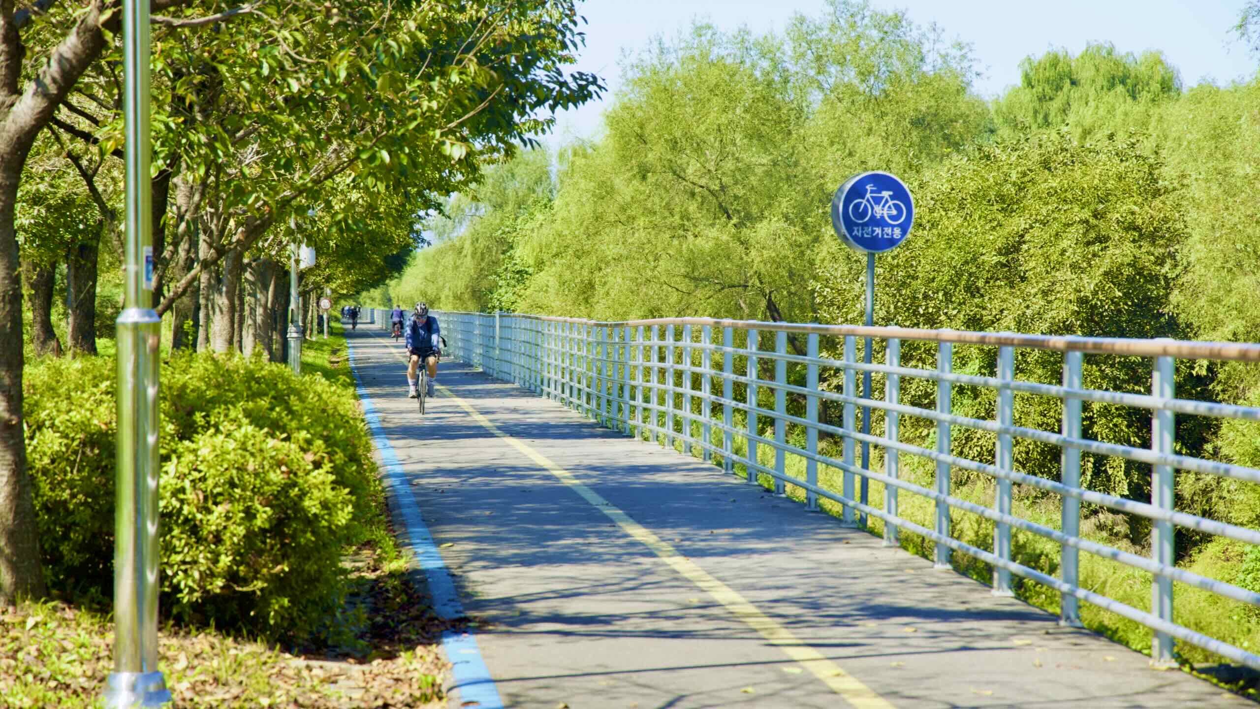
On the embankment: one-way eastbound bike lane.
On the riverside: two-way, east/west bike lanes.
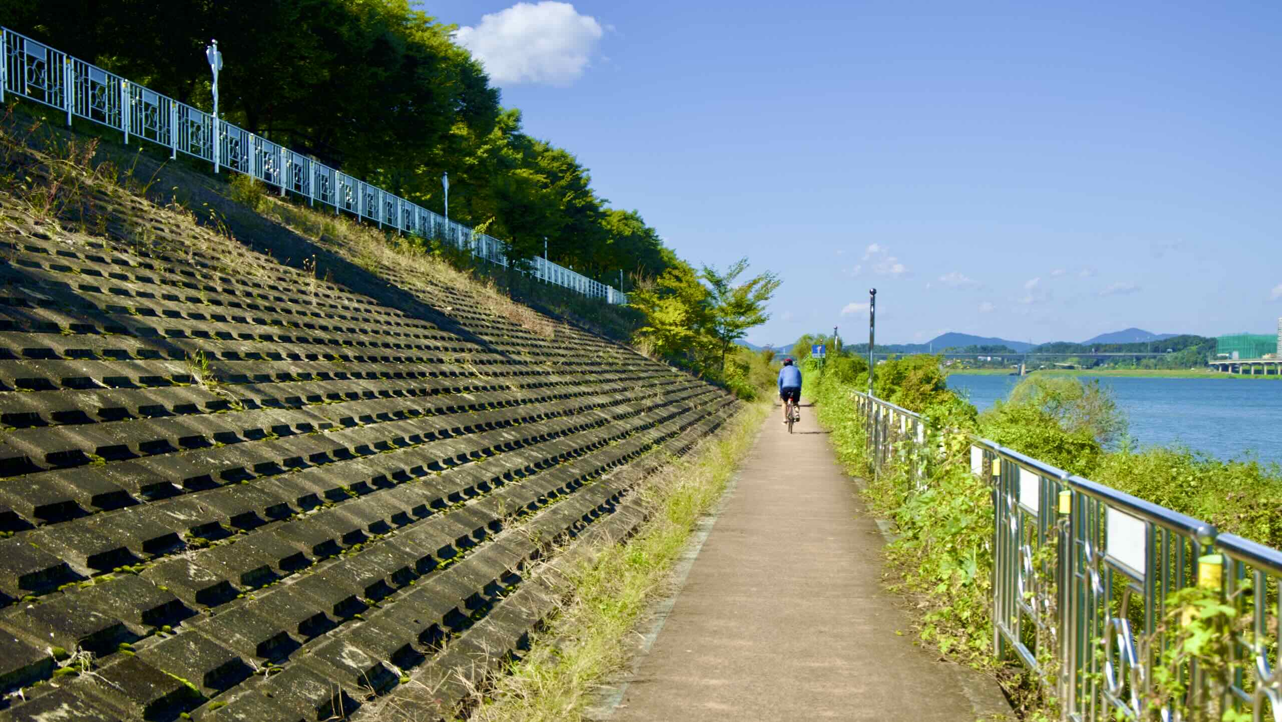
Feel cramped? Tumble down a set of steps onto the riverside bike paths.
Don’t worry about getting lost. Both paths — on the embankment and along the river — lead to Deokpung Stream (map).
Want to check out an Olympic venue? Stick to the one-way path on the embankment.
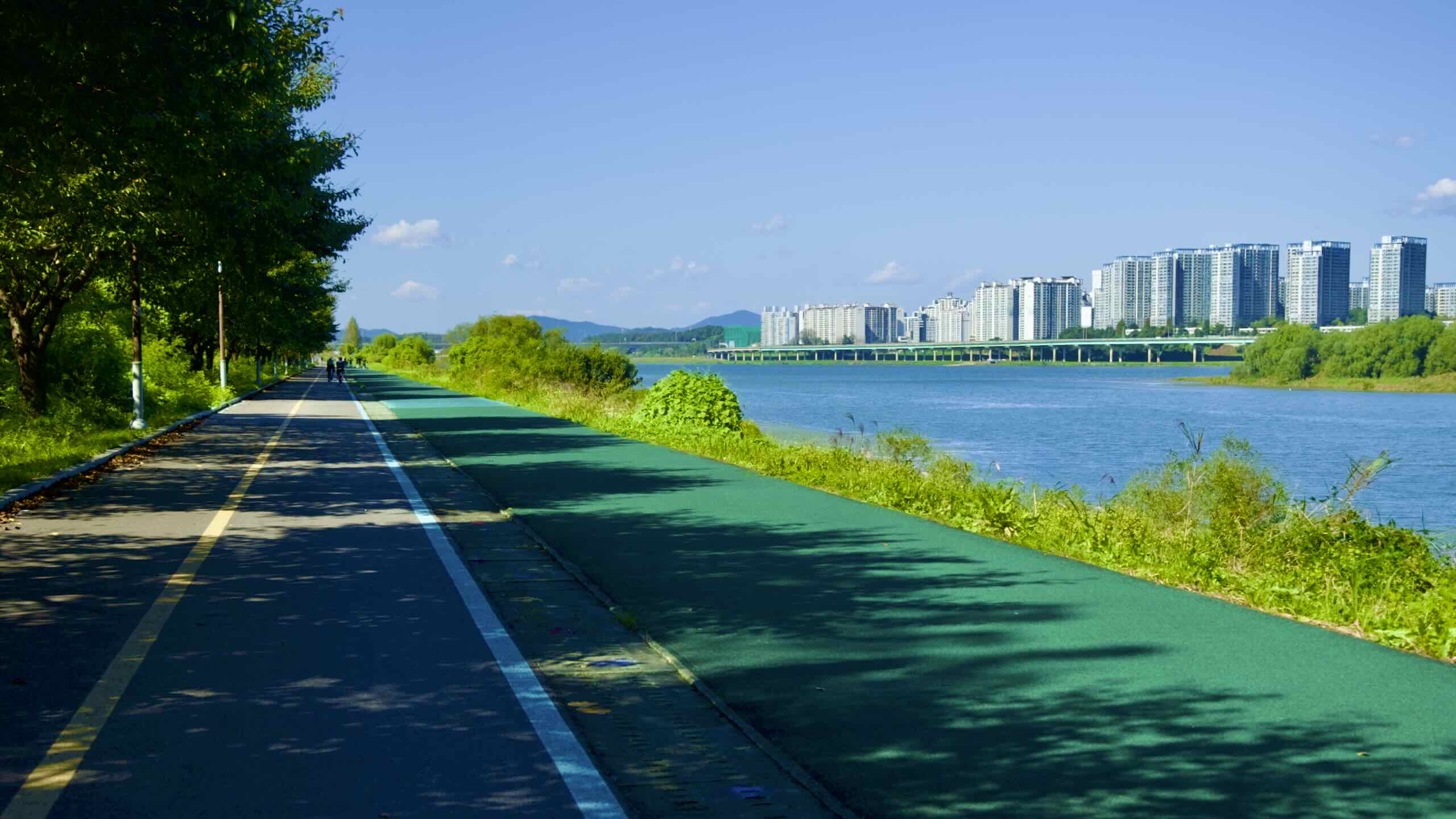
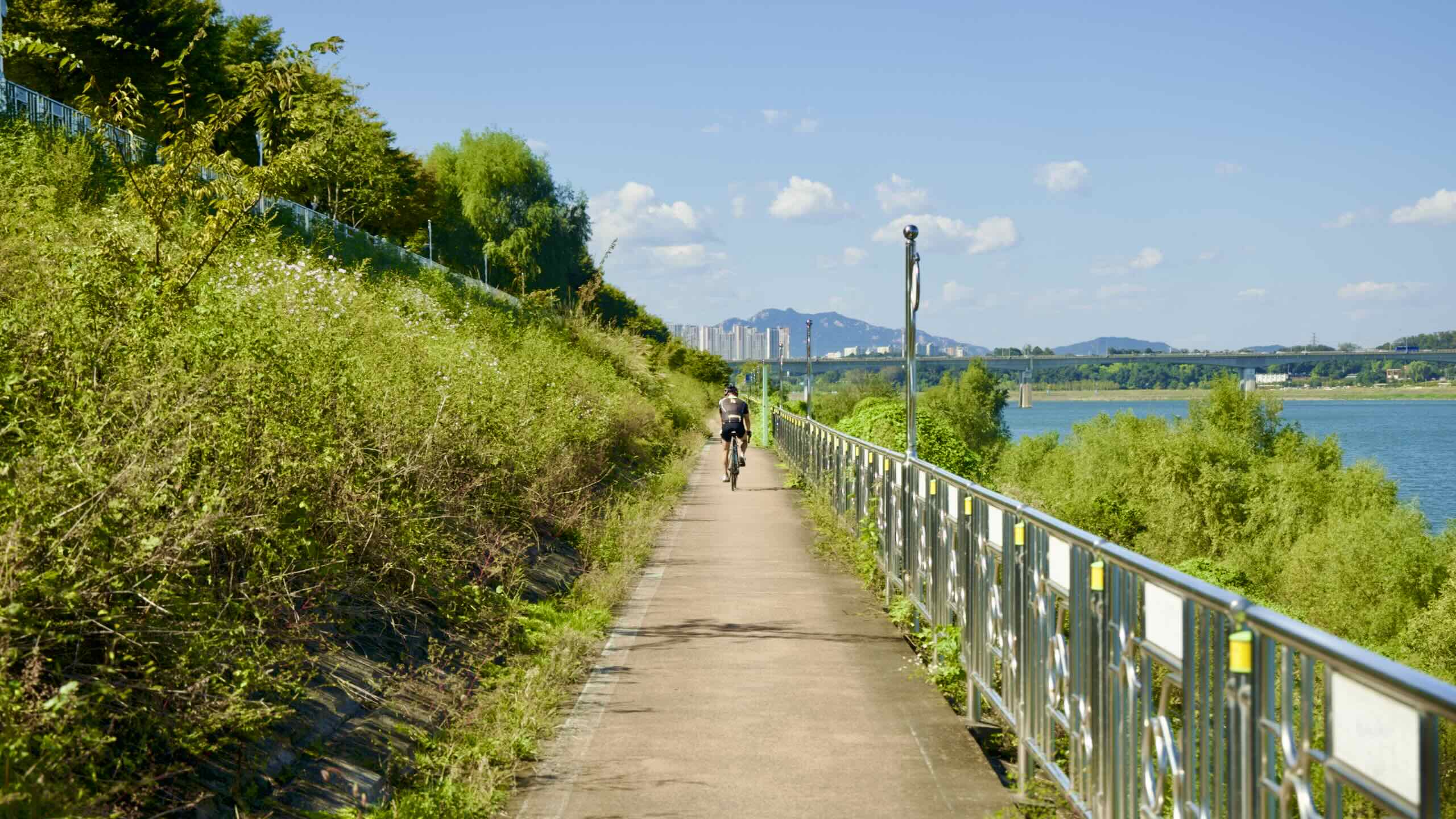
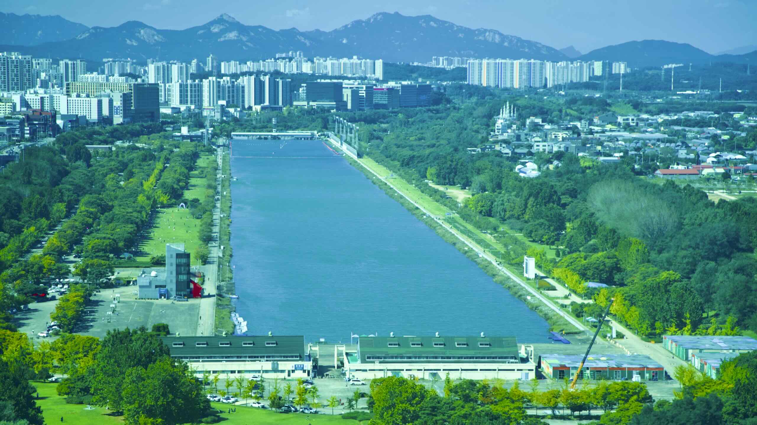
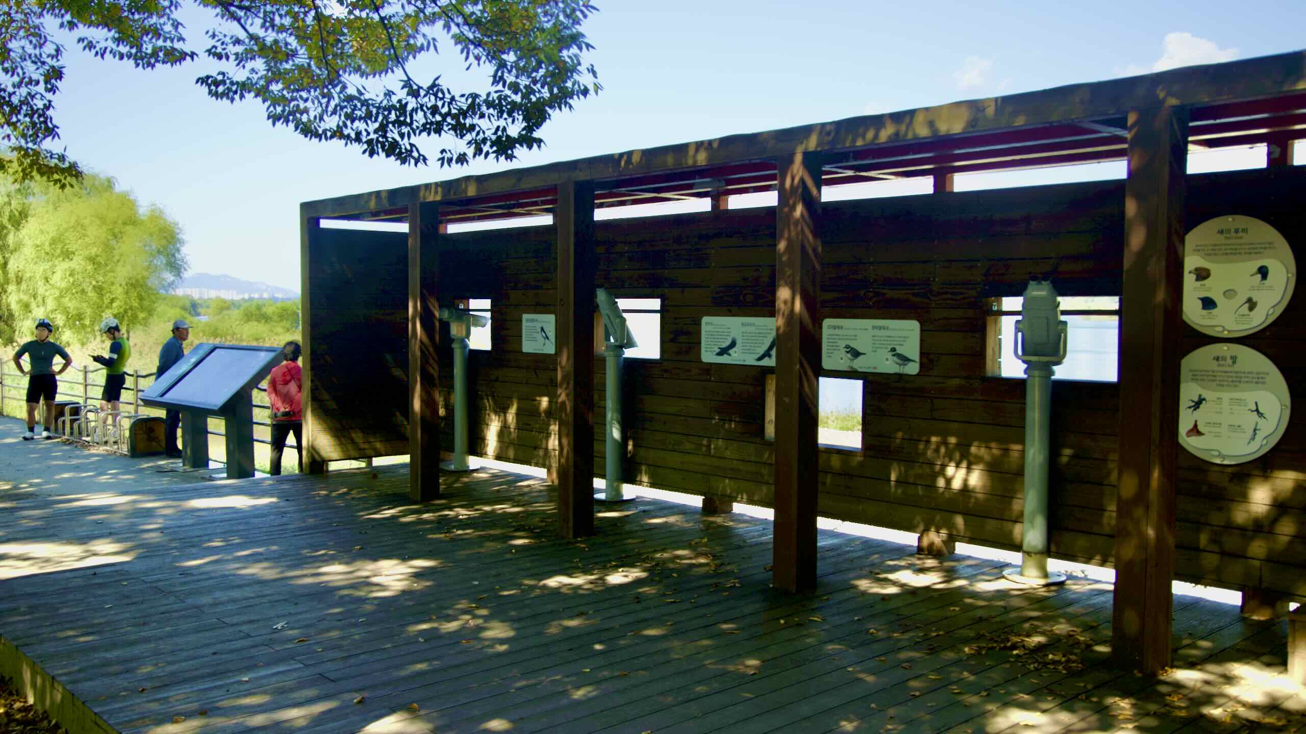
Cycle toward apartment buildings rising in the distance (road view). Then glance at a web map. Notice a perfect blue rectangle next to you. That’s the Misa Boat Race Park (미사경정공원; map; aerial view).
This artificial lake measures 2.2 kilometers long, 140 meters wide, and 3 meters deep. It hosted rowing and canoeing competitions for the ‘86 Asian and ‘88 Summer Olympic Games.
Today, Misa Gyeongjeong Park (미사경정공원; map) surrounds the retired lake. Its rental stations offer bikes and water crafts for visitors to cruise around in the summer breeze.
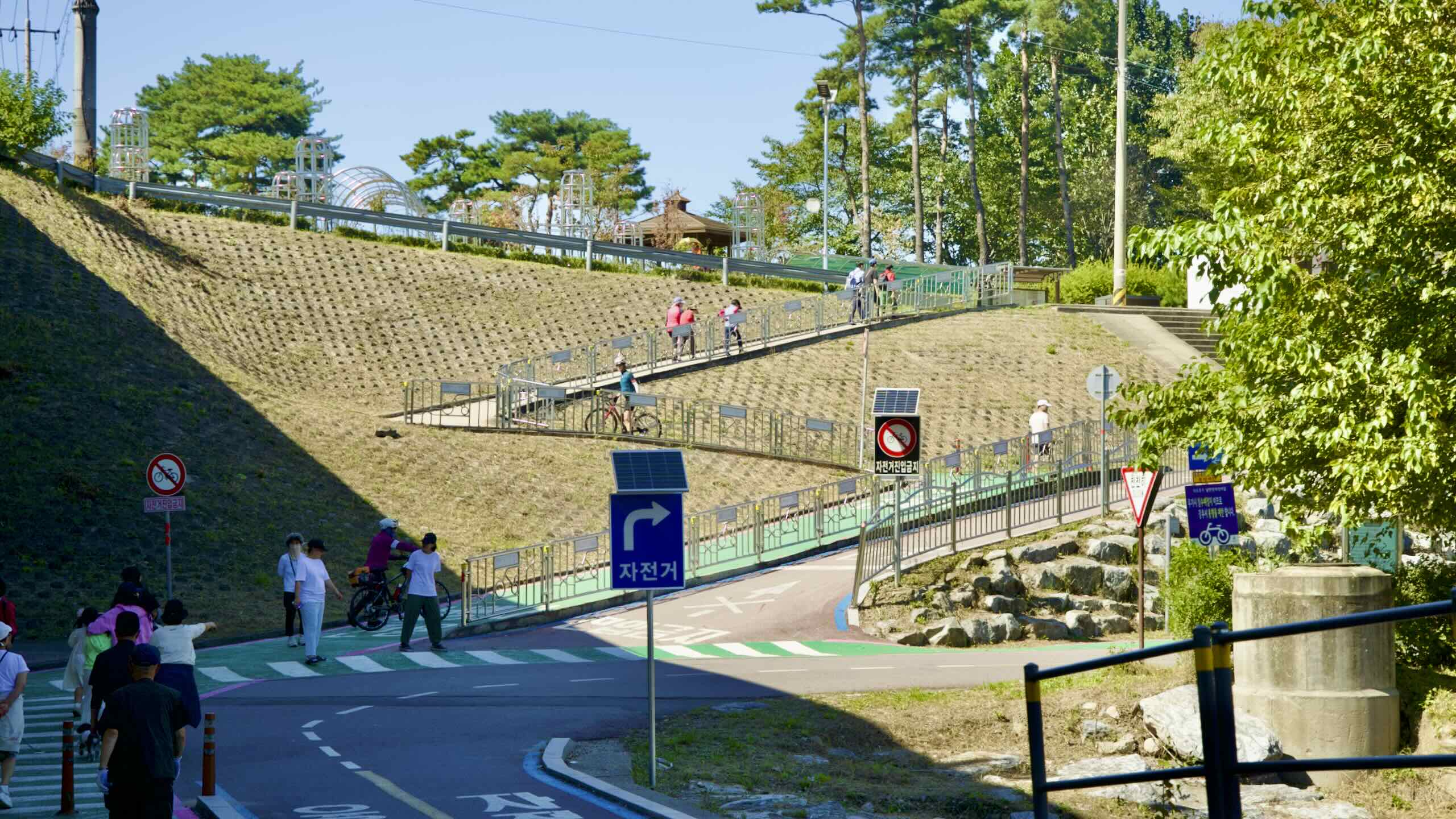
Misa Boat Race Park isn’t visible from the bike path. Want to catch a glimpse? Ascend a set of steps up an embankment to peep the old Olympic venue (road view).
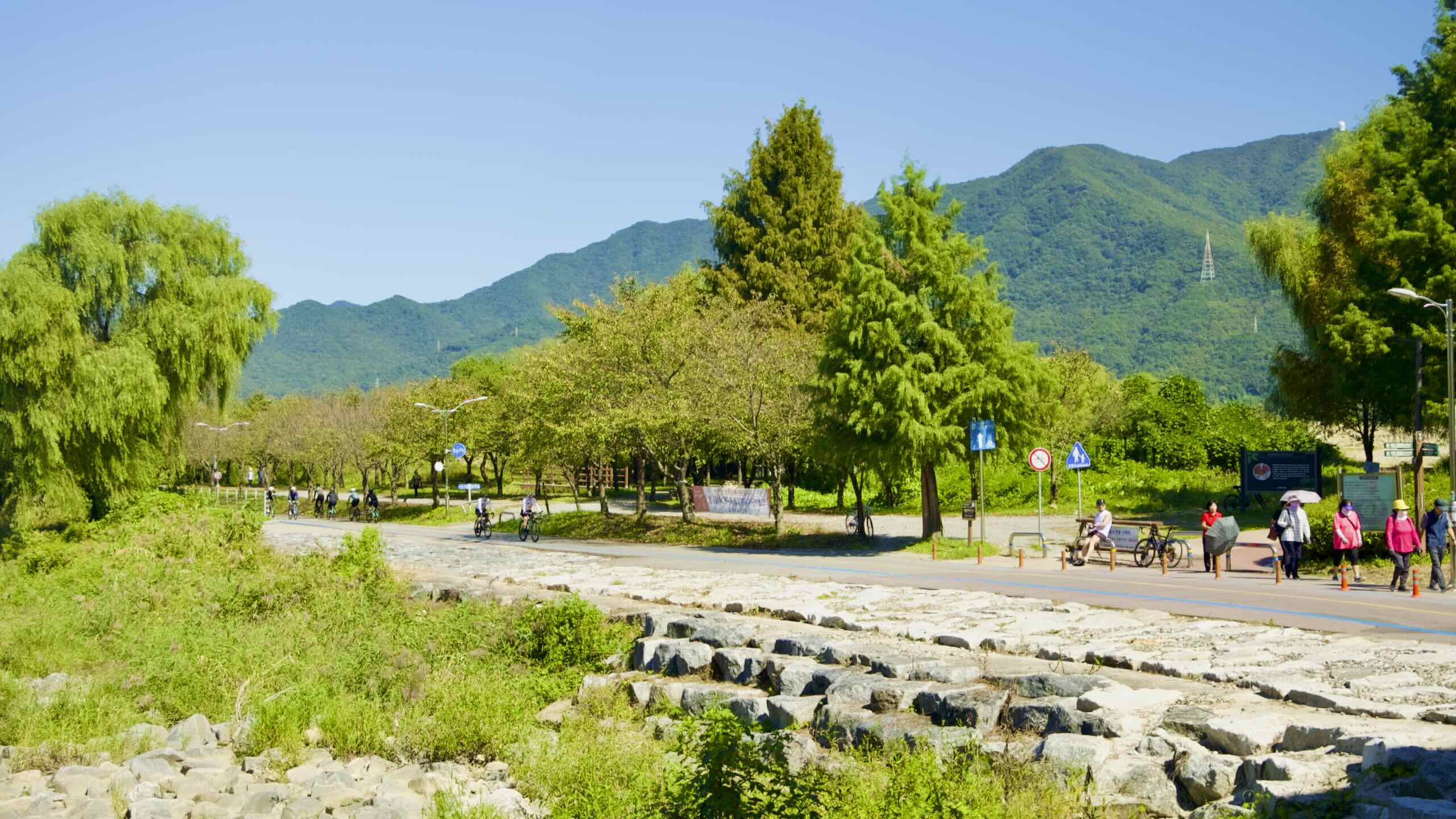
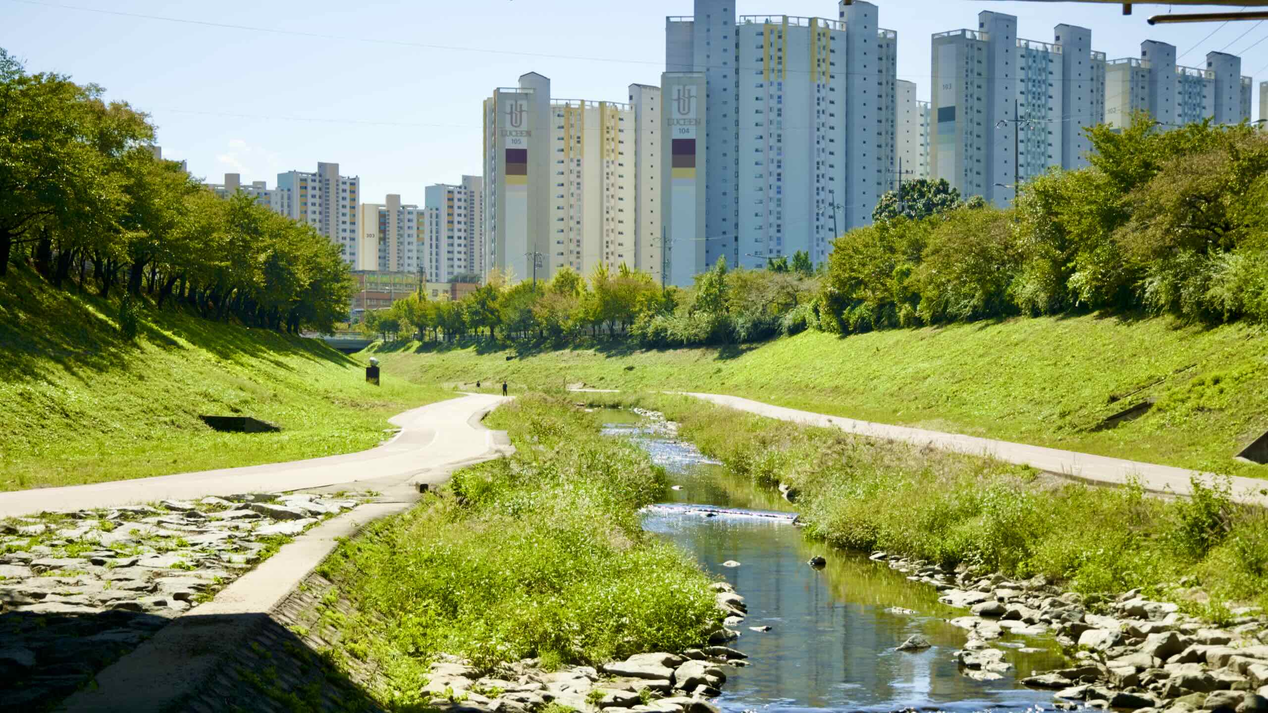
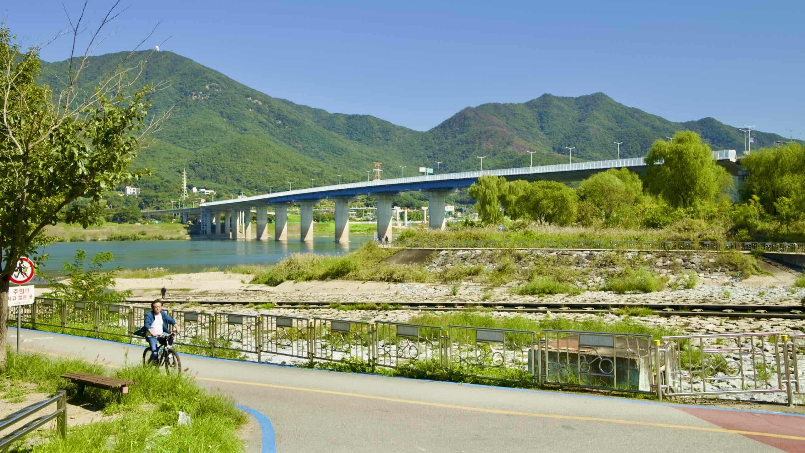
Bike onwards and land at Deokpung Bridge (map) along Deokpung Stream (덕풍천; map). This is the place where the High/Low Split bike paths converge (road view).
Have Seoul’s bike roads given you cement pedals? Roll down Deokpung Stream into Hanam City (directions; aerial view). Find a bed and food near Hanam City Hall (하남시청; map).
Take the stairs below ground. Find waste burning, sewage treating, and recycling screening facilities. Each day they:
Incinerate 48 tons of garbage.
Compress 60 tons of trash.
Recycle 50 tons of detritus.
Recover 80 tons of food waste.
Treat 32,000 tons of sewage.
What about the tower? On frigid days, spot white clouds puff from its top (aerial view). Hanam Union Tower is a 105 meter tall exhaust vent… And a multi-level, 360° observatory.
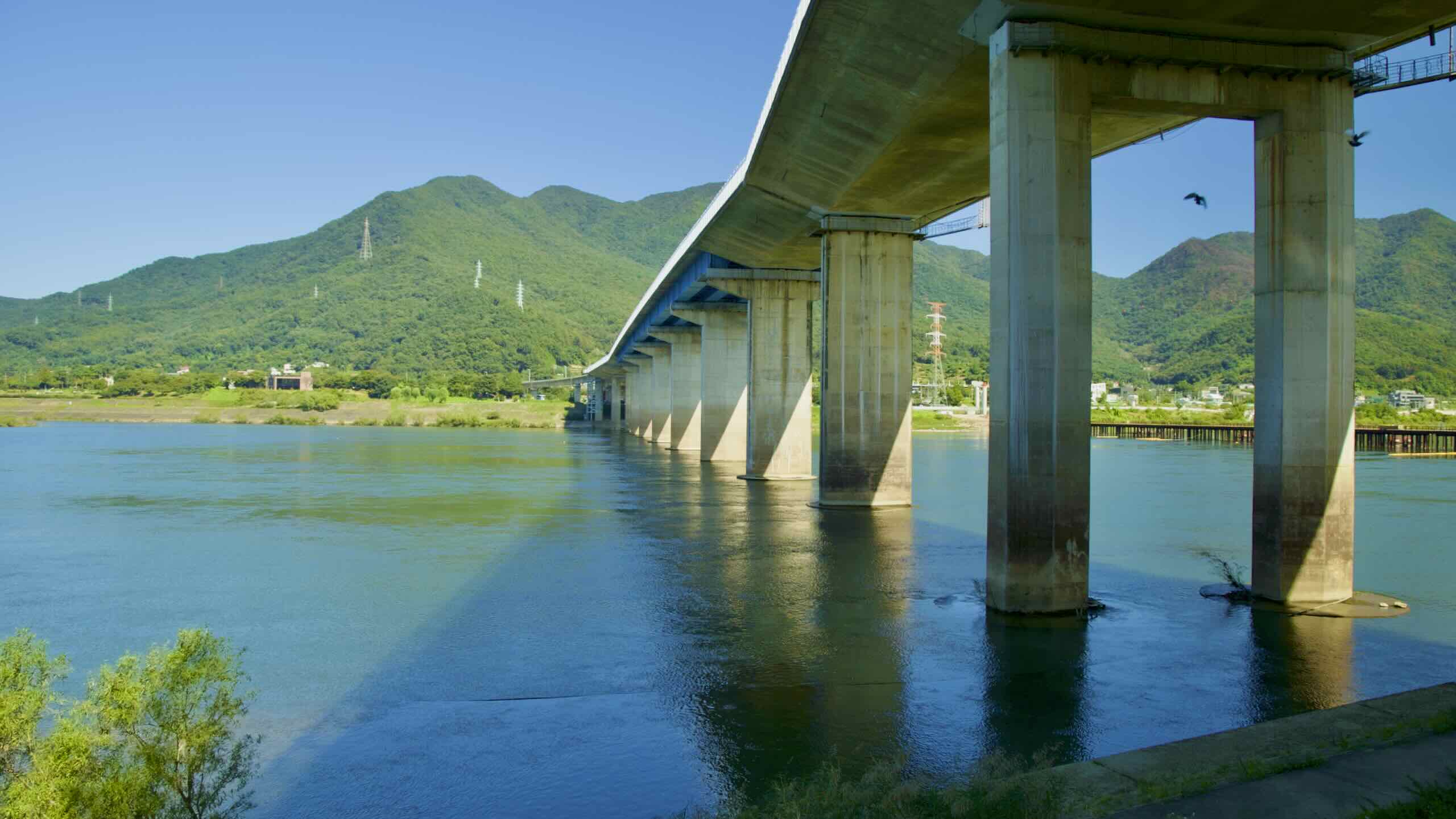
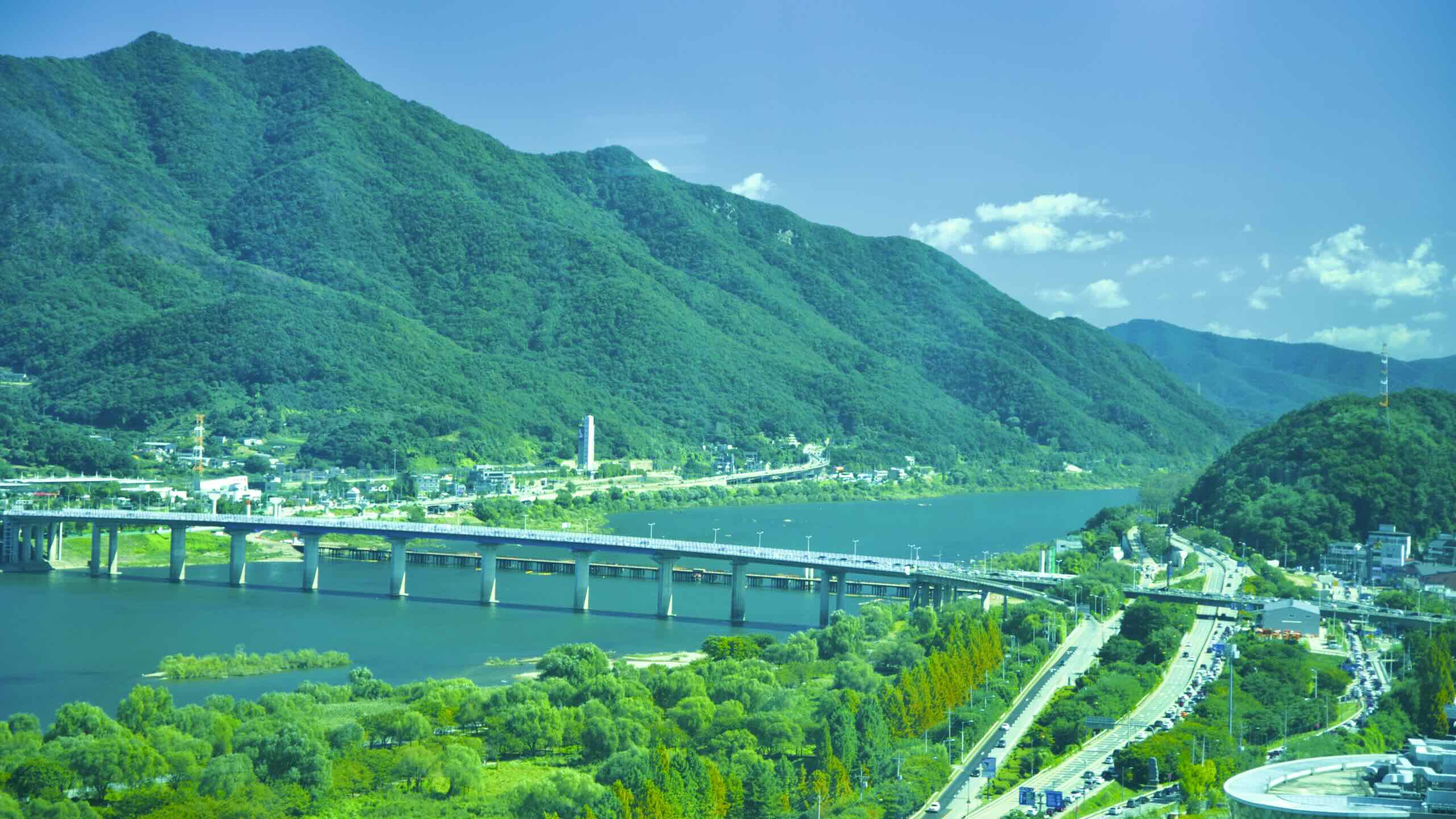
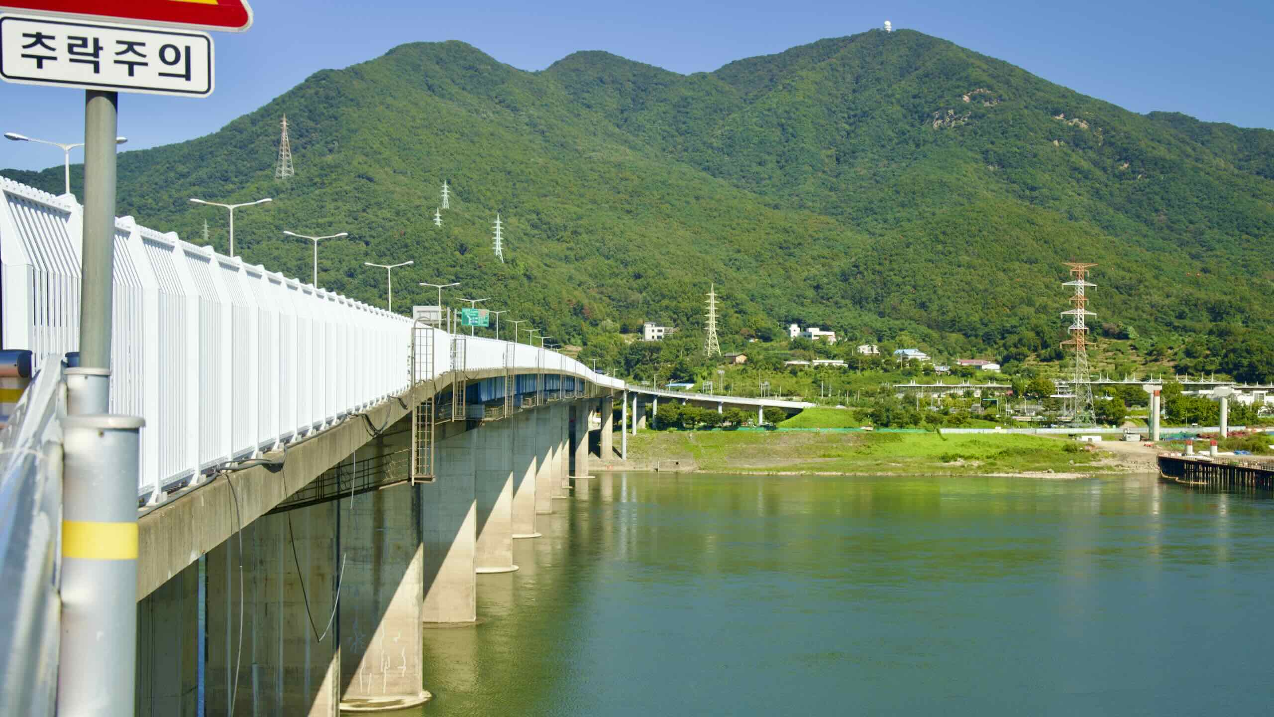
Loop over Sangok Stream (산곡천; map; road view) and find Paldang Bridge (팔당대교; map). The bridge isn’t just an excellent crossing point. It’s a requirement.
Paldang Bridge is part of the Hangang Bicycle Path. It marks the end of Seoul’s North Side and South Side Bike Paths and the start of the Namhangang (South Han River) section.
Still light left in the sky? Ready to begin the next section of the Hangang Bike Path?
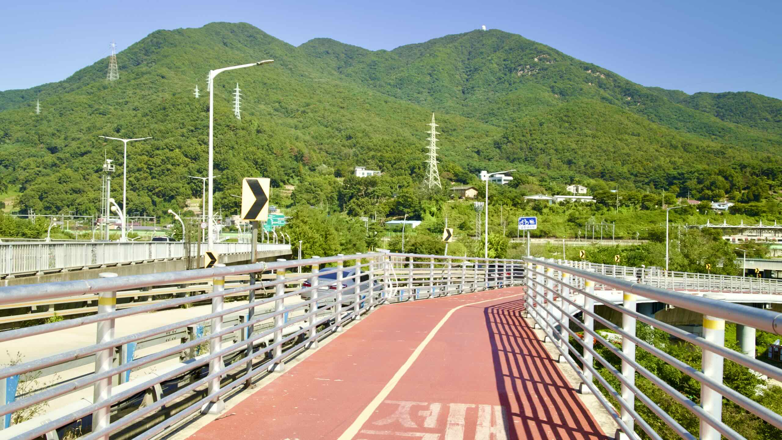
Bike under the Paldang bridge, up an embankment, and onto the bridge’s deck (road view). Cross the Han River onto the Bike Seoul to Yeoju cycling course.