Jeju & More Routes
Jeju & More Routes sends you around Jeju Island, up to Chuncheon City, down the rest of the east coast, and on more cycling courses. Only two of these cycling courses are certification bike paths. But each provides unique and picturesque backdrops.


The Stats
- Time 17 hours (3 to 5 days)
- Length 304 km (189 miles)
- Elevation 165 m | 10 m (541 ft | 33 ft)
- Difficulty 🚲🚲🚲🚲
- Certifications Jeju Fantasy, Bukhangang, Grand Slam


Complete the rest of Korea’s east coast, from Yeongdeok County to Busan City.

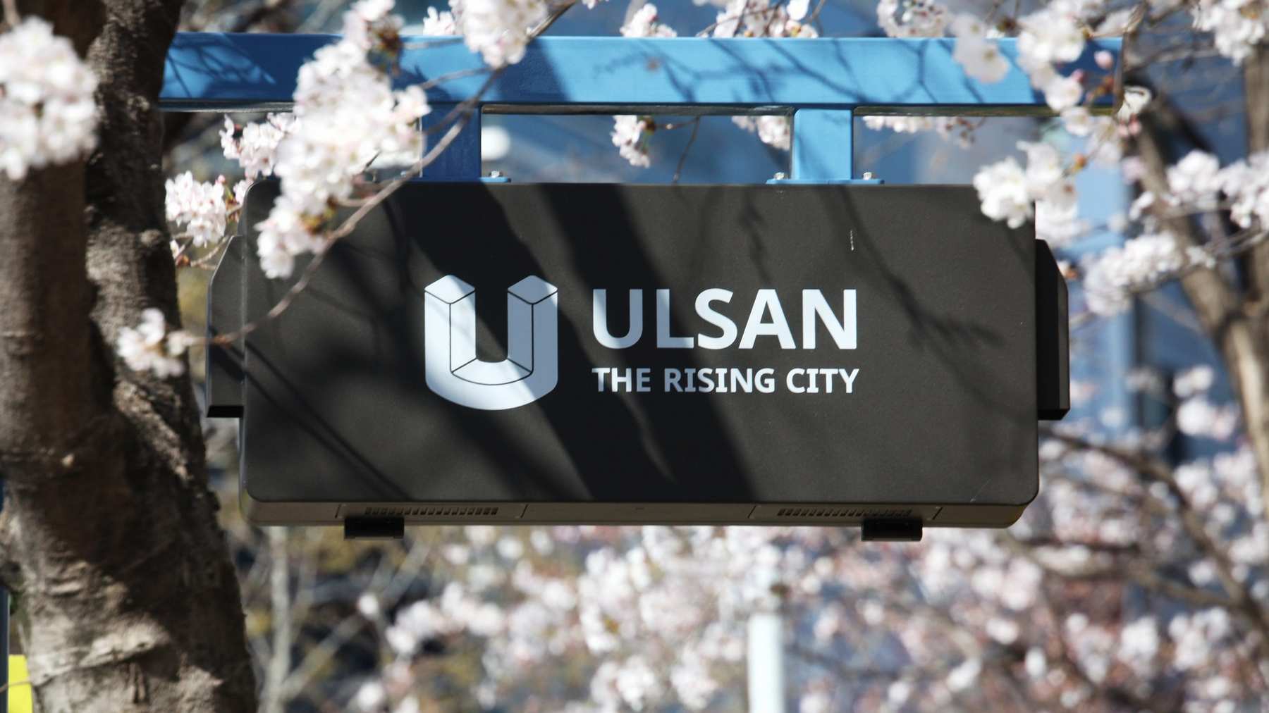
Ride the Taehwa River through the heart of Ulsan City and onto the east coast.

Explore top MTB trails in Korea. From Gangwon’s rugged paths to Gyeonggi’s scenic routes.

Overview


Jeju & More Routes cast a wide net. It explores two certification bike paths, a cycling course at the bottom of the east coast, and more biking routes.
These bike paths encompass a diverse range of landscapes and regions.
- Jeju Fantasy Bike Path tracks the perimeter of Jeju, Korea’s tropical getaway.
- Bukhangang Bike Path rides a short course from Seoul to Chuncheon City.
- East Coast Route (Part 2) picks up where the East Coast Route left off.
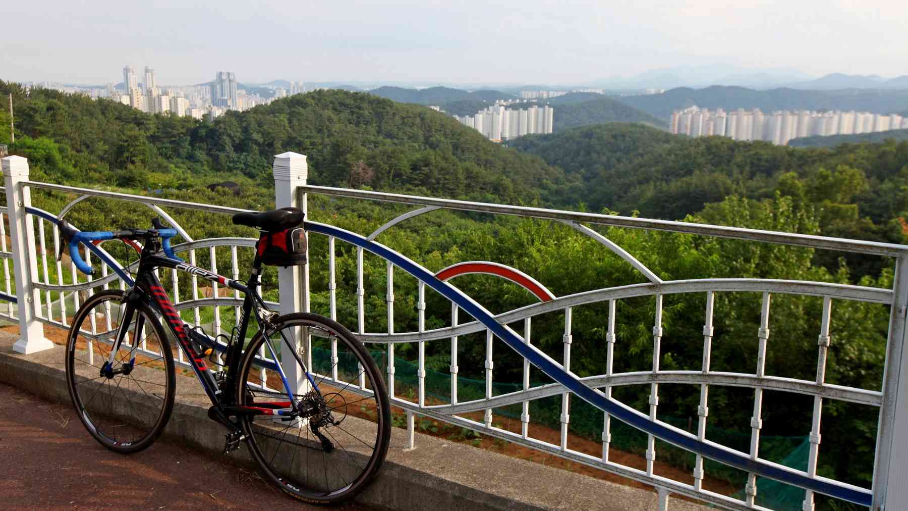
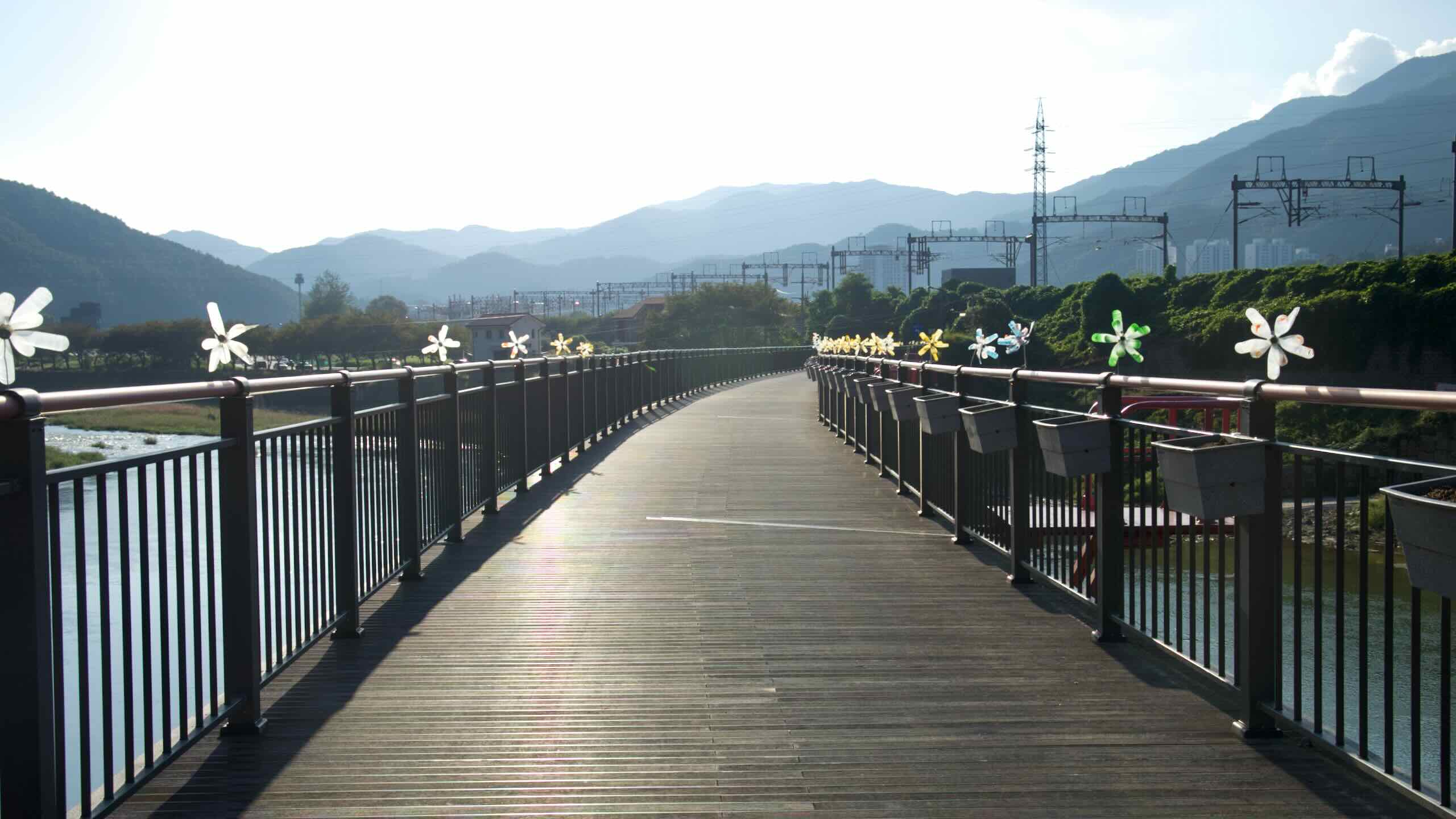
- Taehwagang Bicycle Path runs along the Taehwa River in Ulsan Metropolitan City.
Let’s look closer at each.
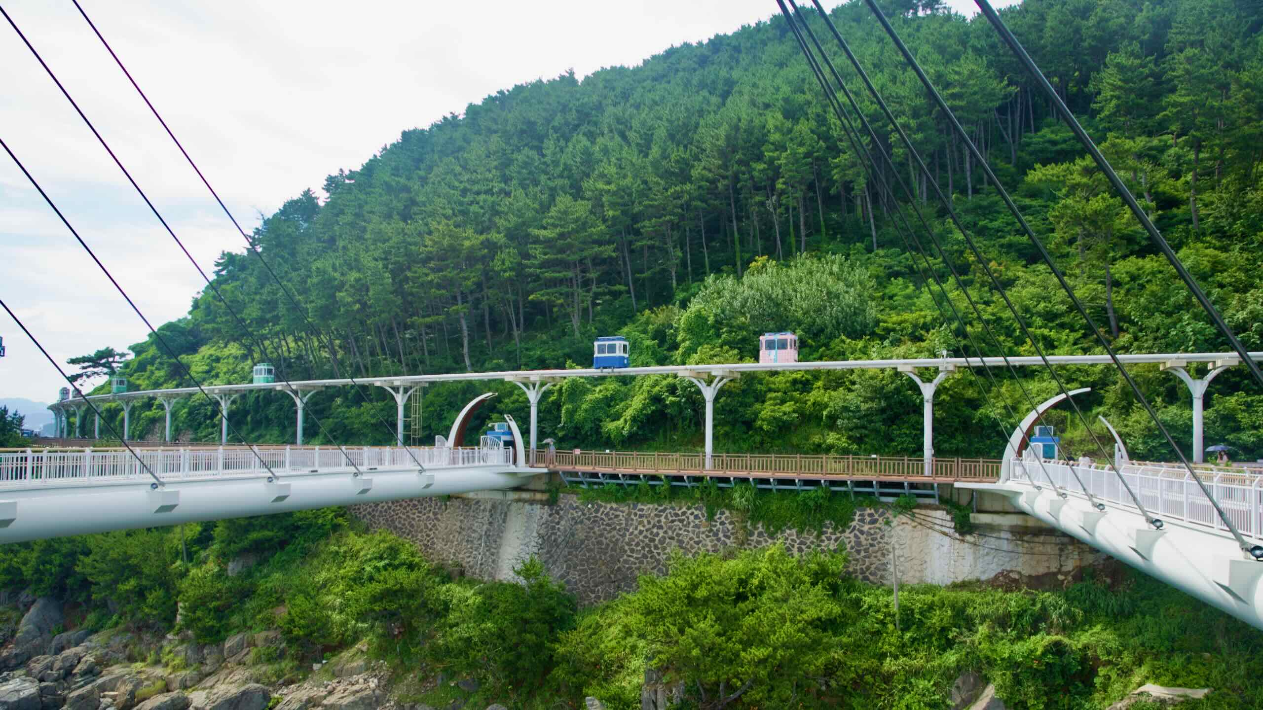
Jeju Fantasy Bicycle Path
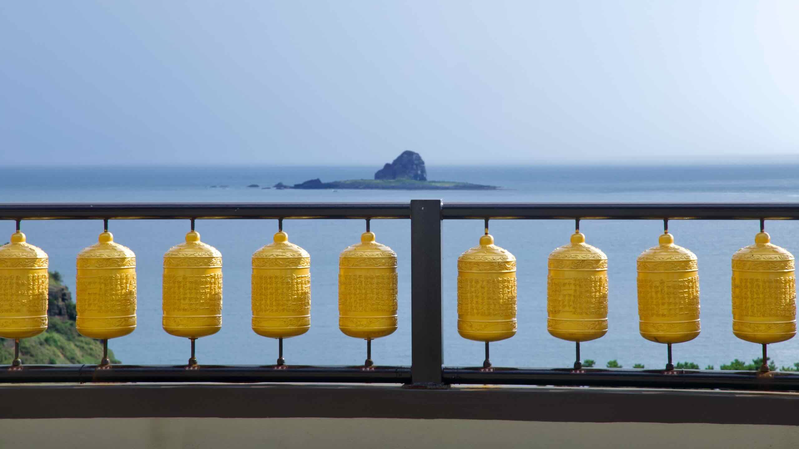
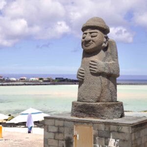
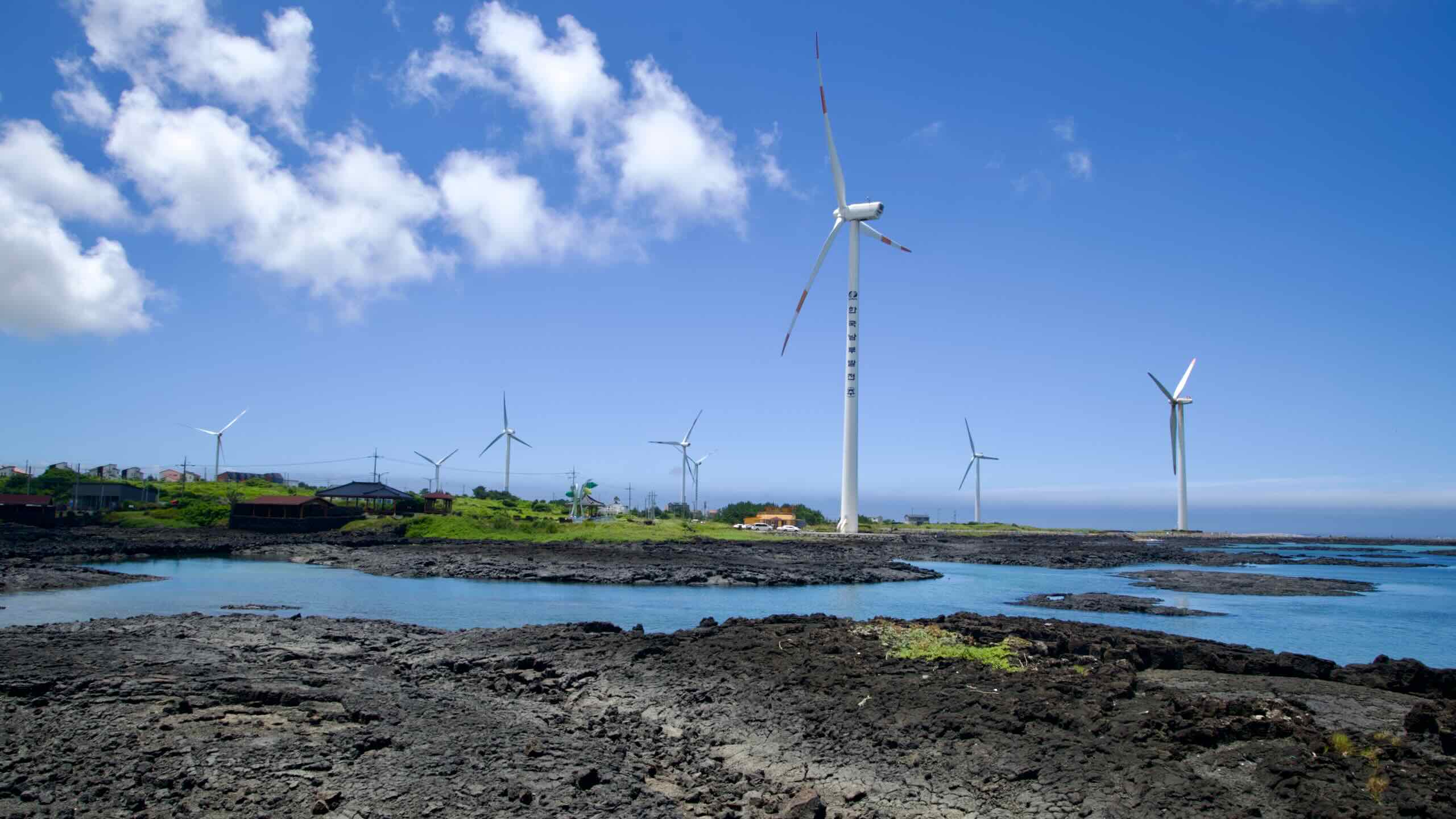
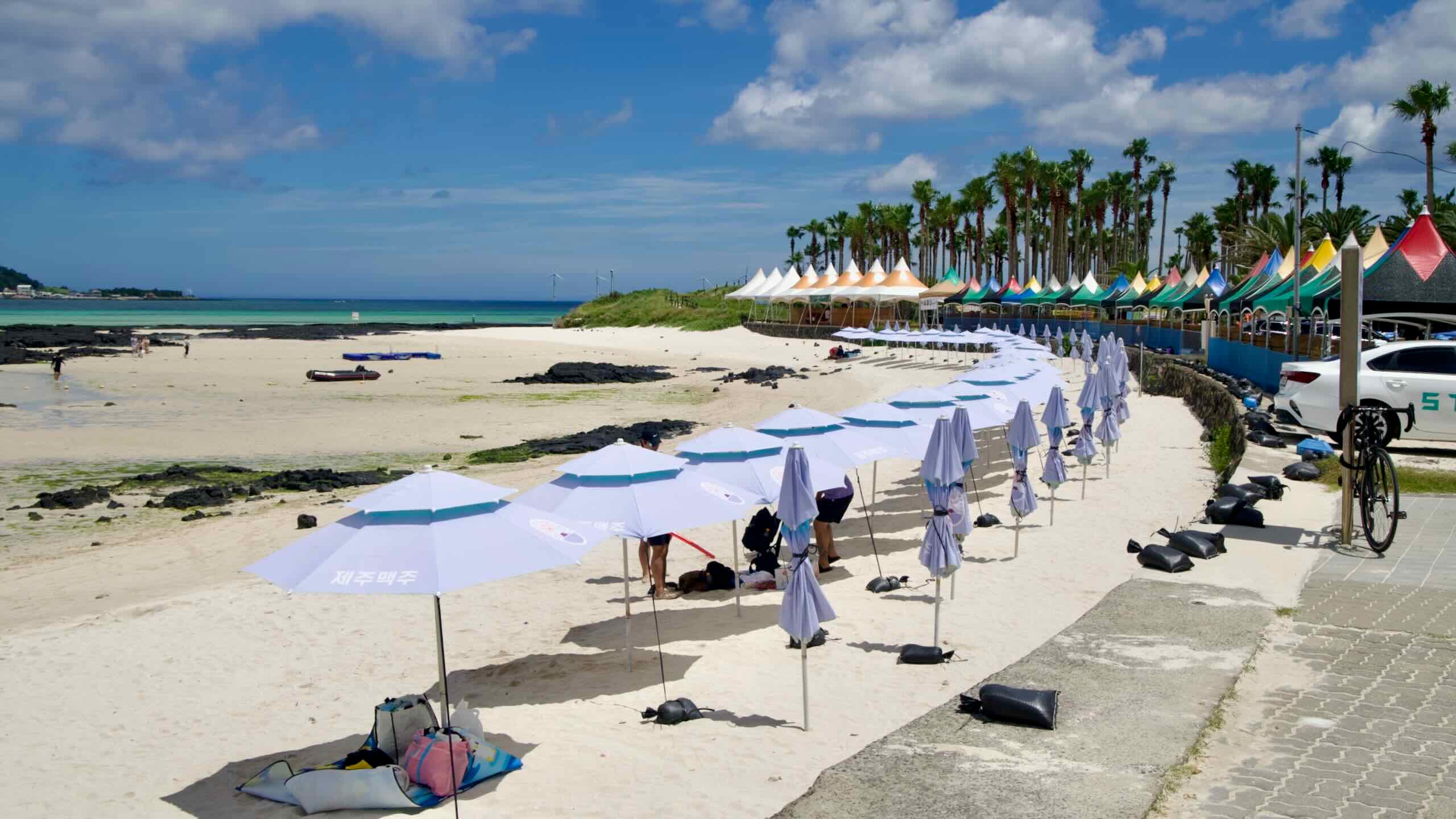
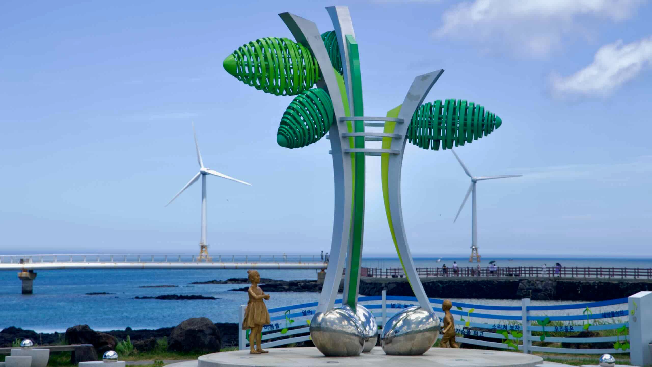
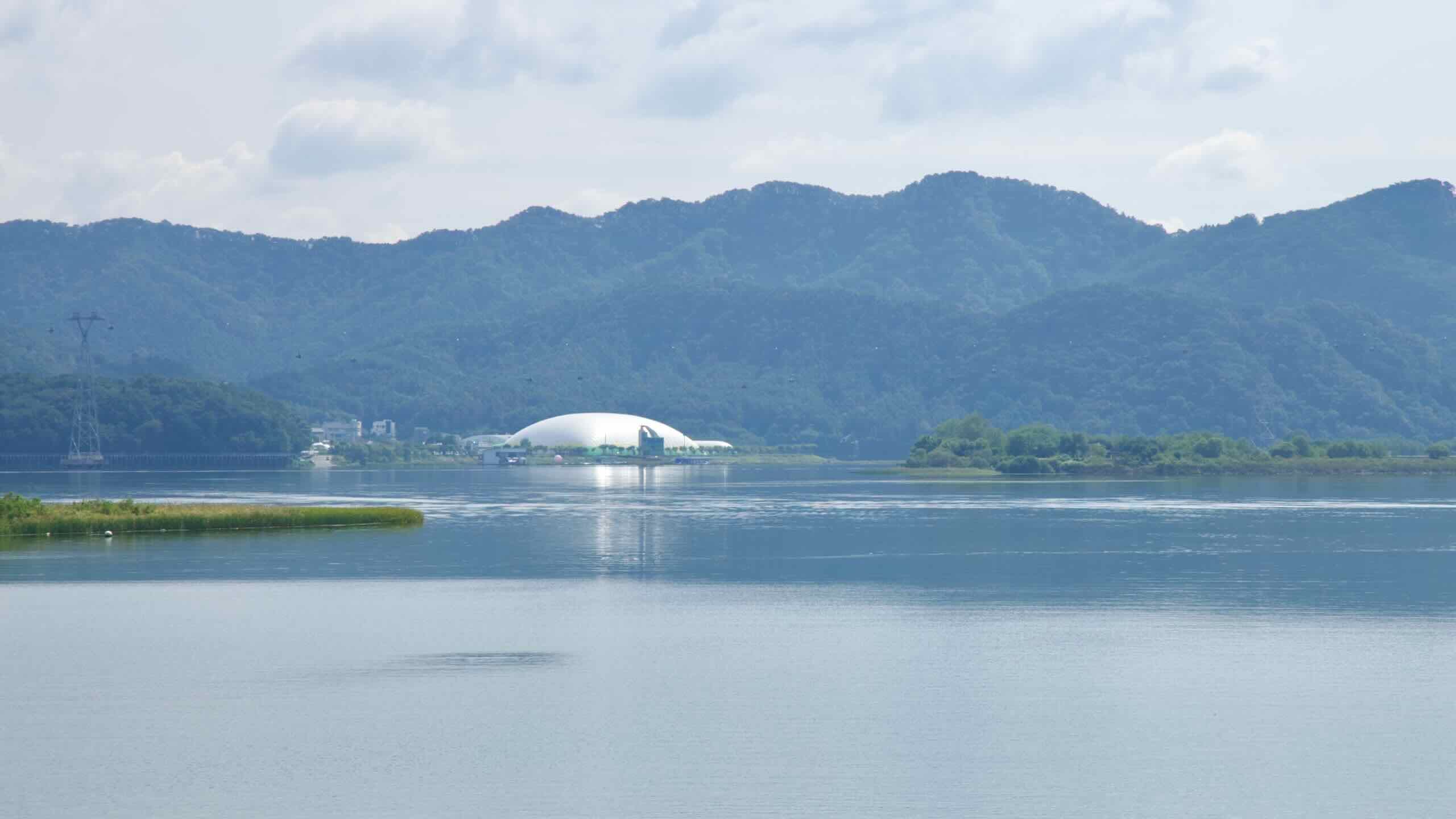
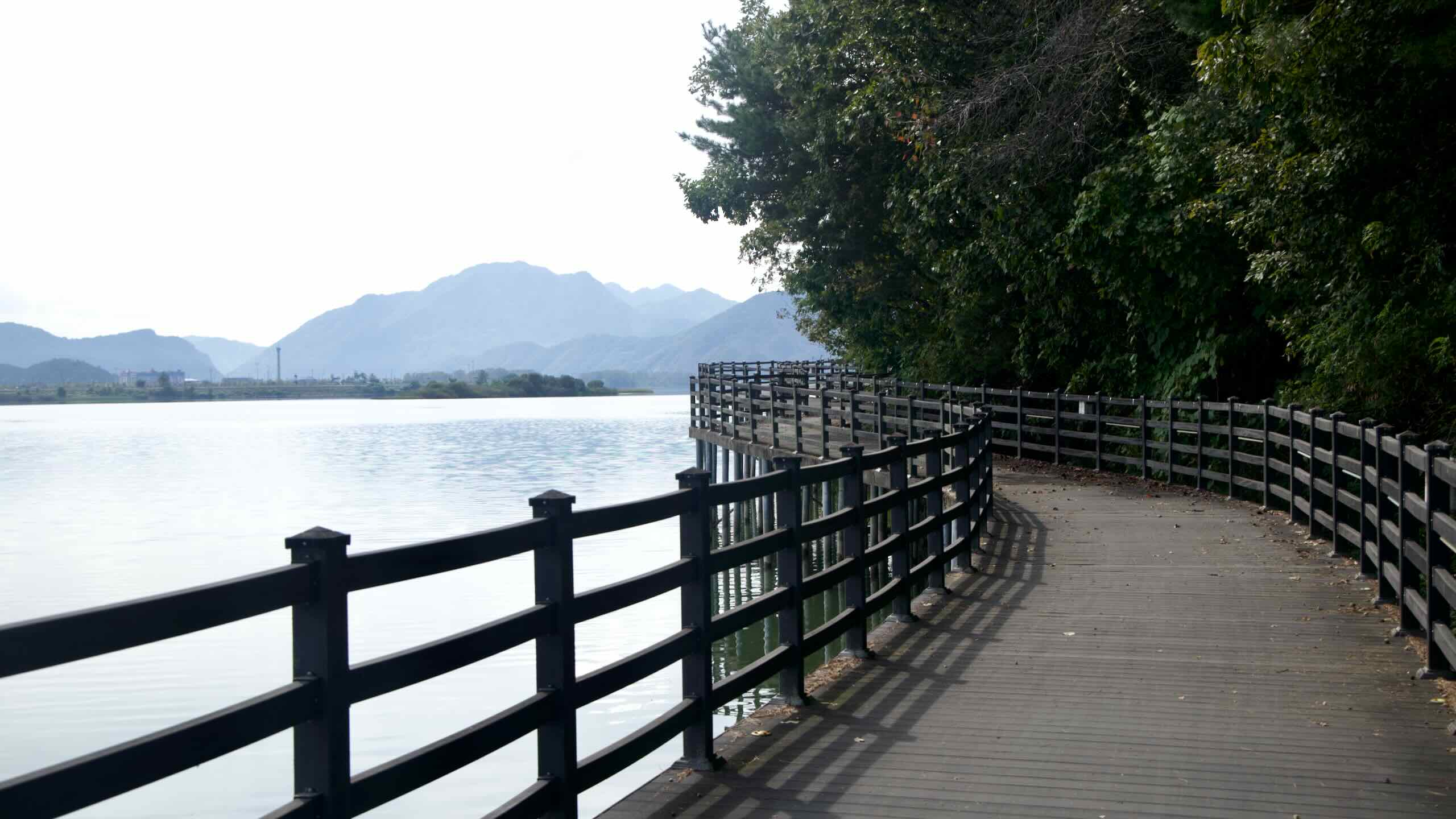
The Jeju Fantasy Bicycle Path (234 km) circles Jeju Island (제주도; map). Known as Korea’s Hawaii, the island hangs upon Halla Mountain (Hallasan; 한라산; map), both a dormant volcano and the tallest peak in South Korea.


Start in Jeju City (제주시; map) at the top of the island. Travel west and pass beaches decorated with rocky islands bobbing offshore.
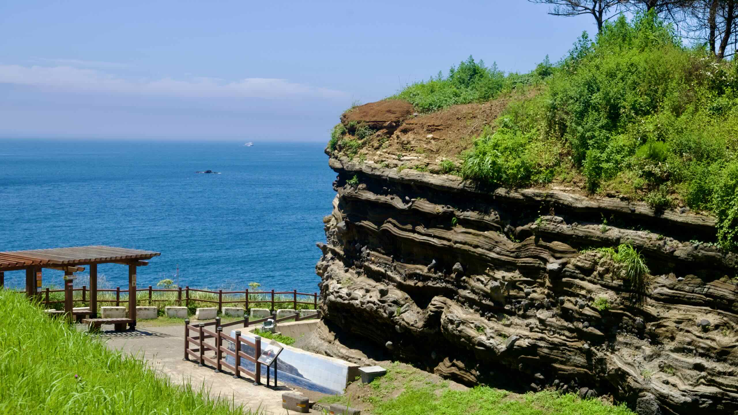
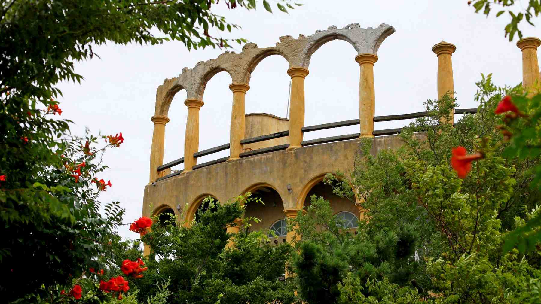
Seogwipo City (서귀포시; map) claims the southern half of Jeju Island Adored by tourists for its natural beauty, Seogwipo’s borders hold unique cliff faces, waterfalls, and a UNESCO designated volcanic tuff cone.
The Jeju Fantasy Bike Path ends where it begins, at Yong Du Am Certification Center (용두암 인증센터; map). This last stamp sits 3.4 kilometers from Jeju International Airport (directions), the nation’s second largest airport and quickest exit off the island.


Find all the resources you need to finish the Jeju Fantasy Bike Path below.
- Jeju Fantasy Bicycle Path — an overview of the bike path.
- Bike Jeju City to Daejeong — a ride-through (1 of 3).
- Bike Daejeong to Pyoseon — a ride-through (2 of 3).
- Bike Pyoseon to Jeju City — a ride-through (3 of 3).
- Jeju Island — a profile of the island.
- Highlights — major attractions on the Jeju Fantasy Bike Path.
- How to Get There — transportation to the Jeju Fantasy Bike Path.
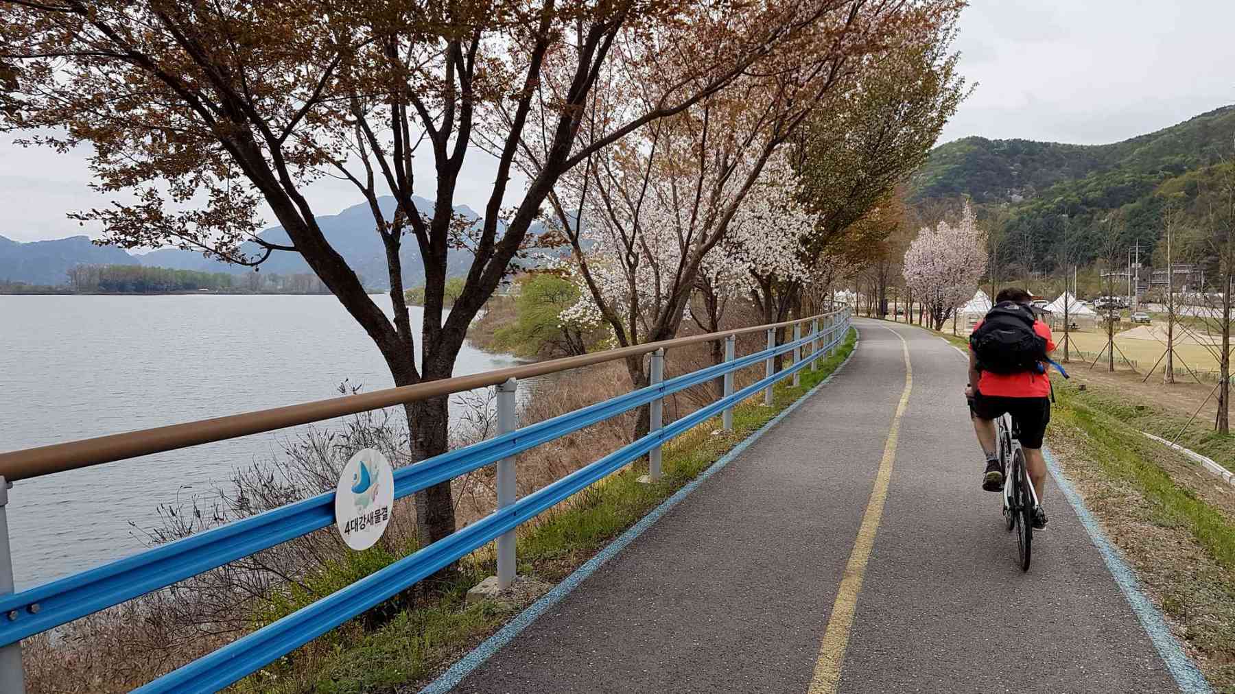
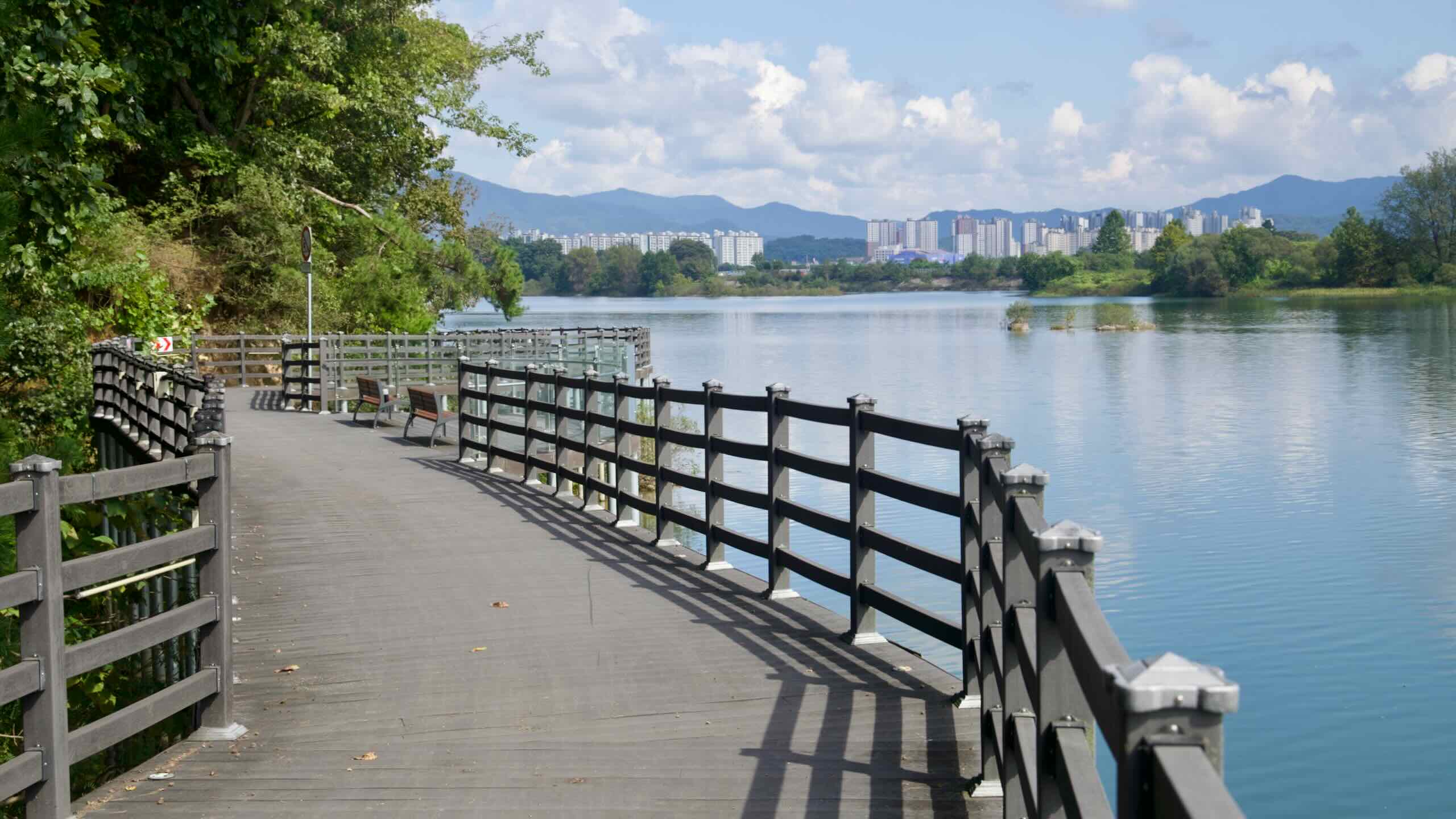
Bukhangang Bicycle Path
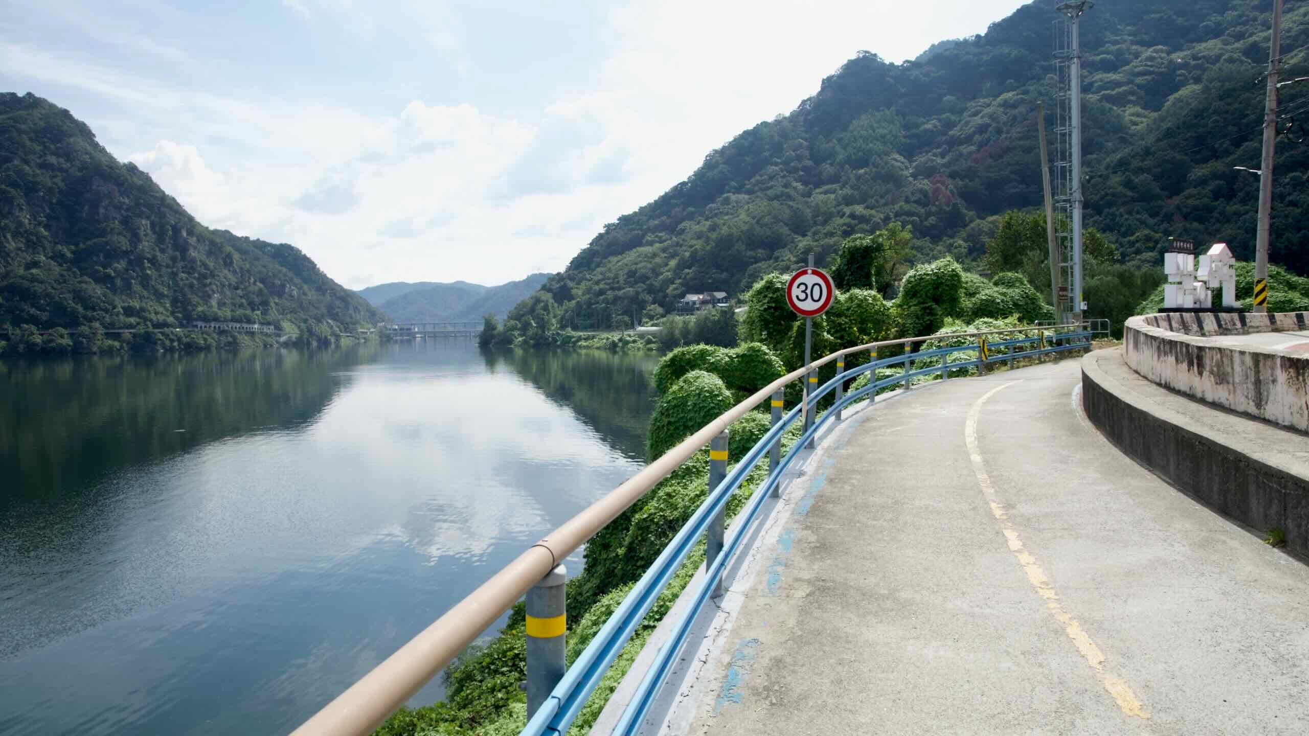
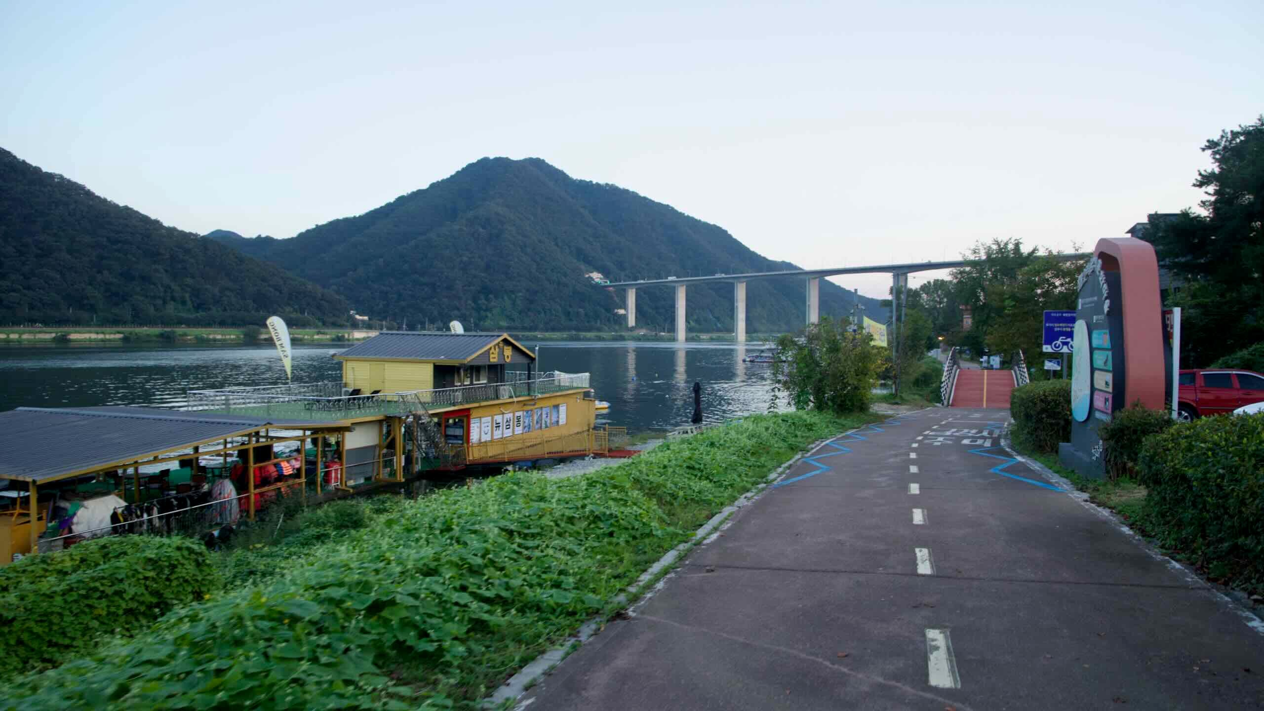
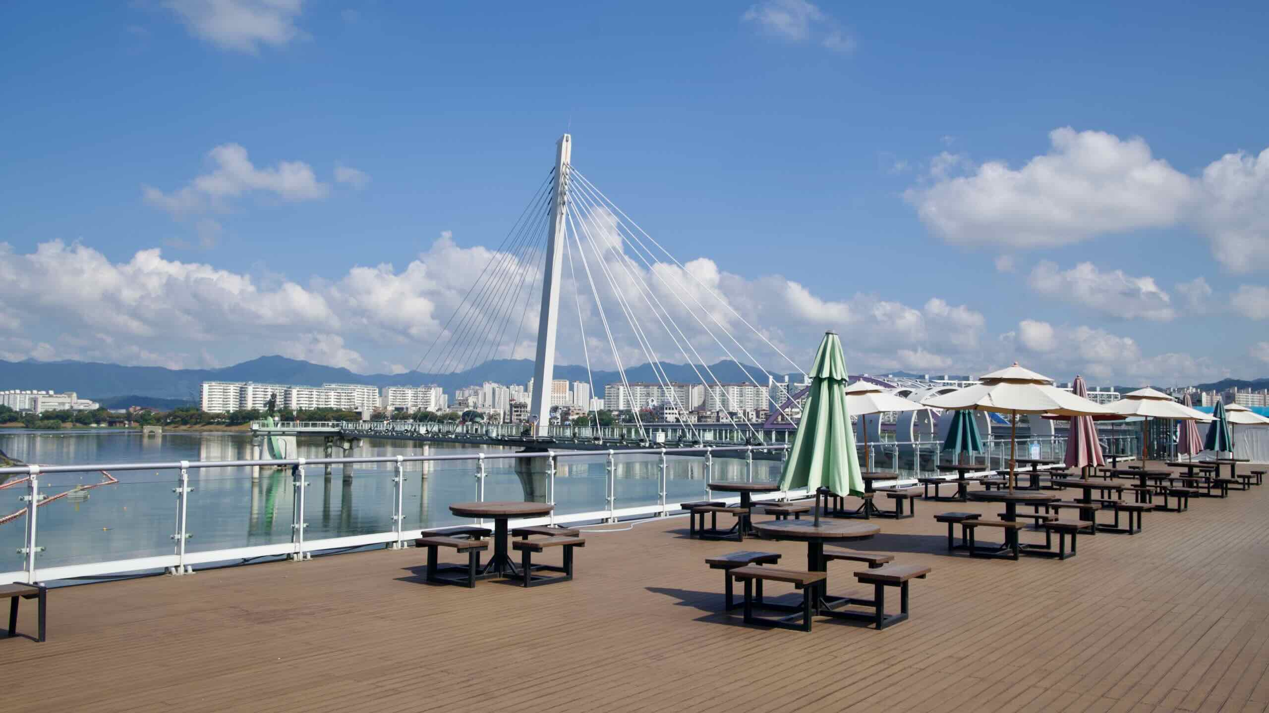
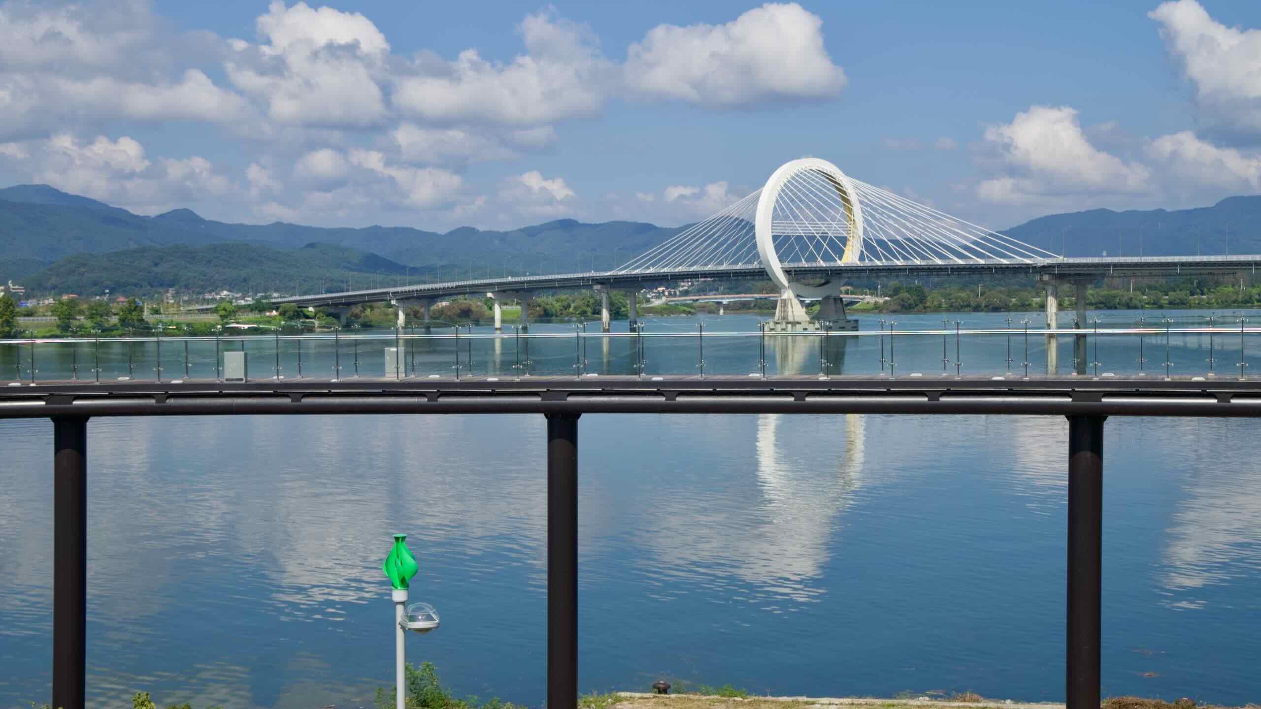
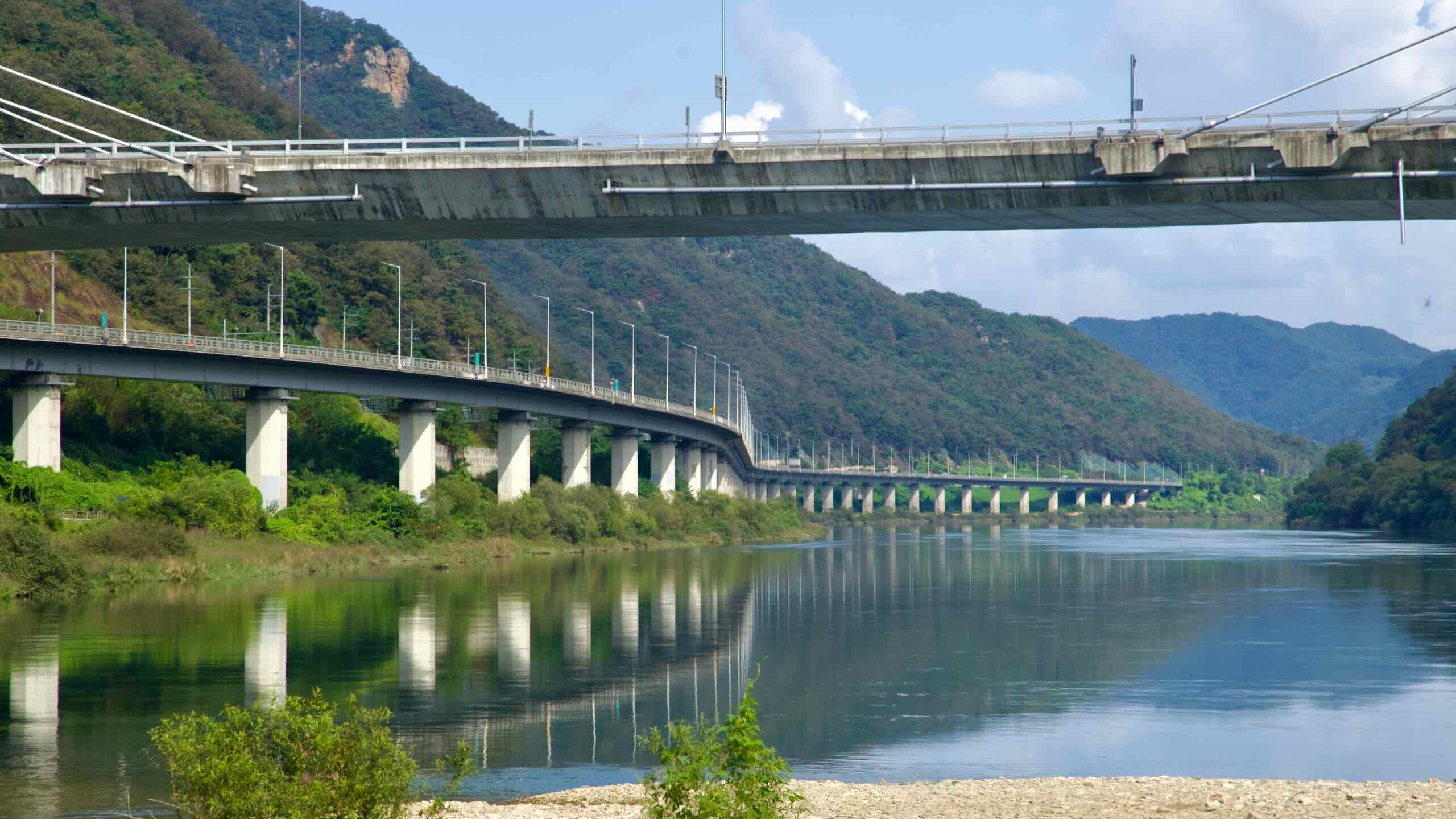
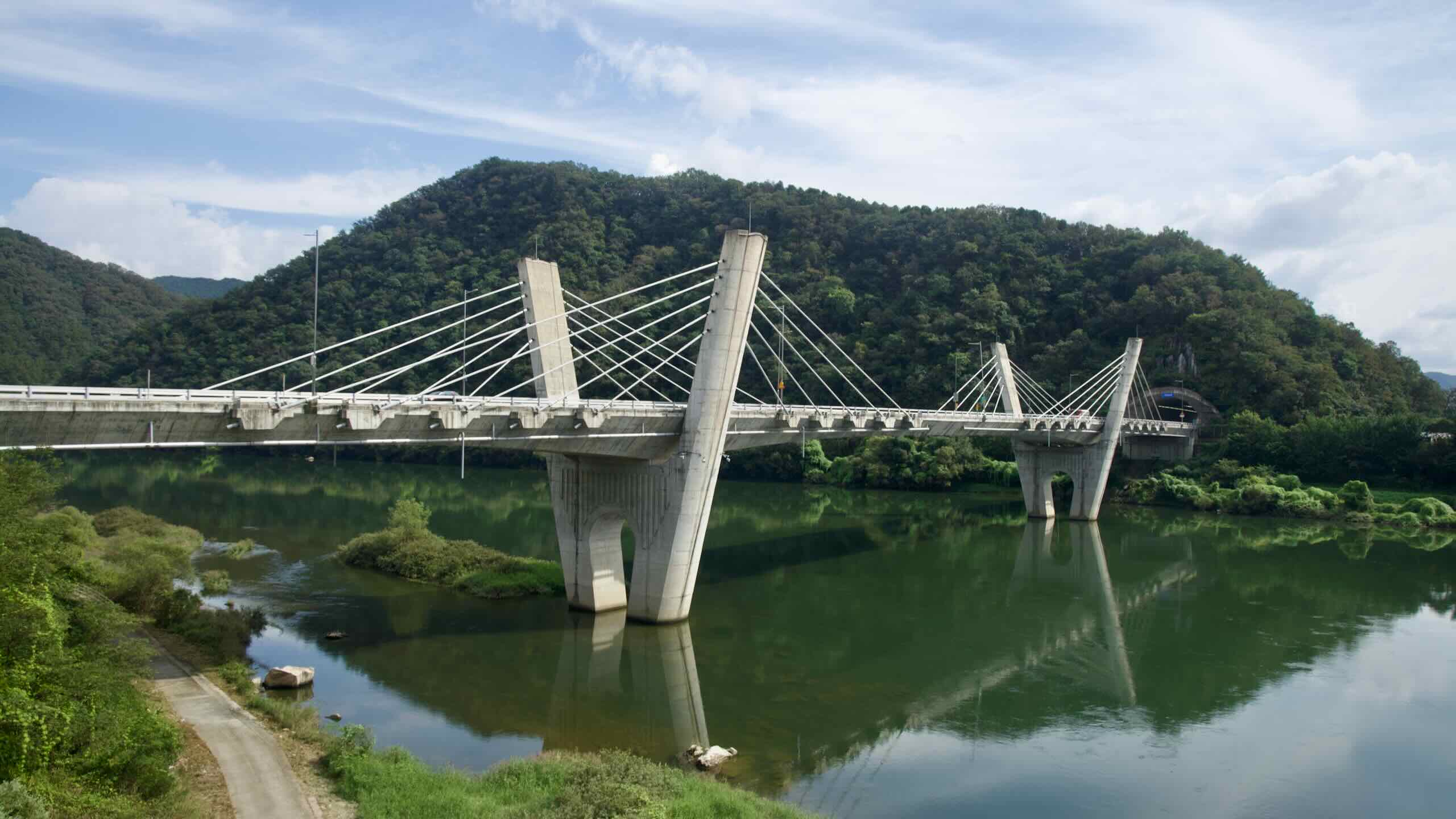
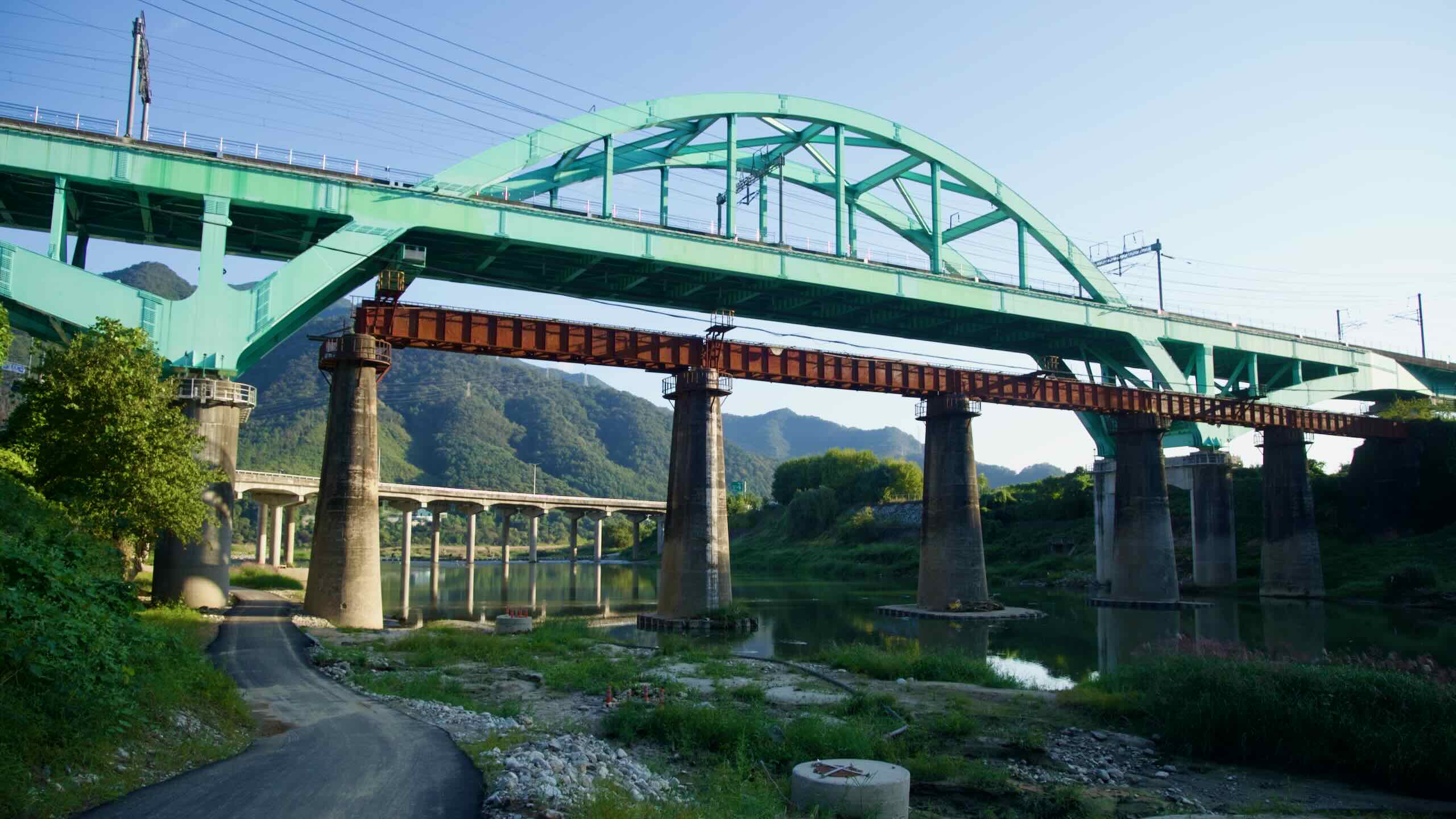
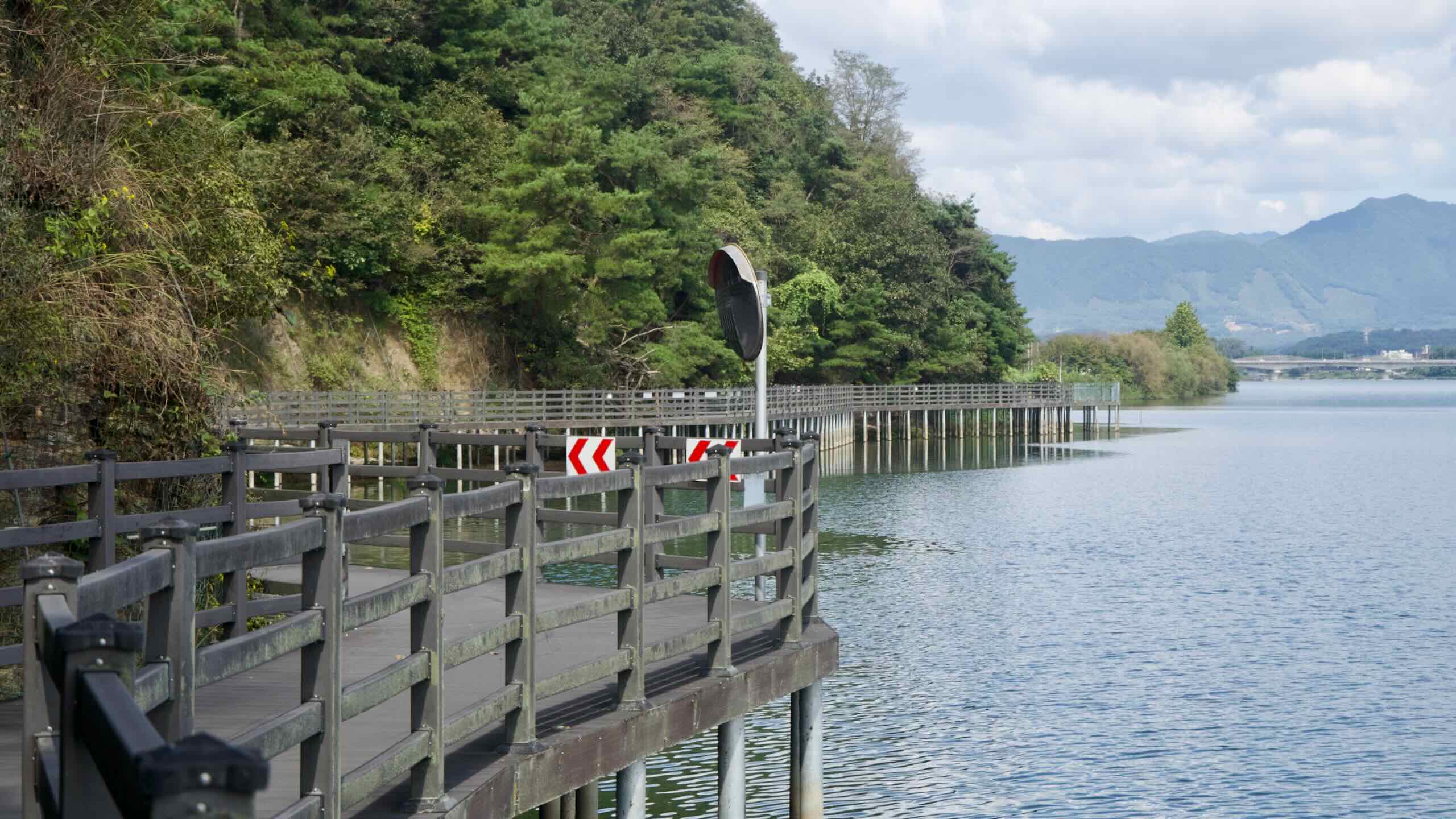
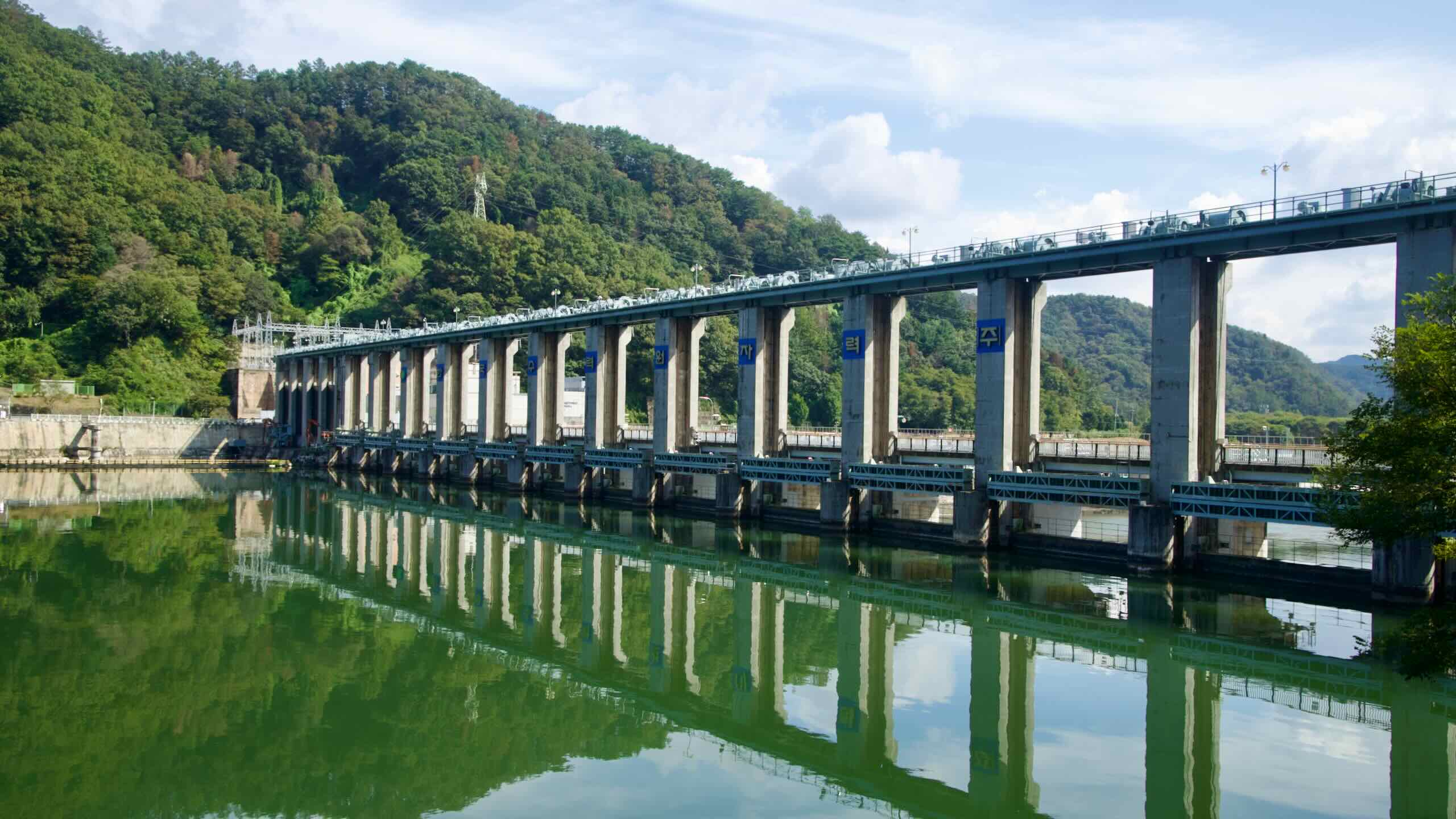
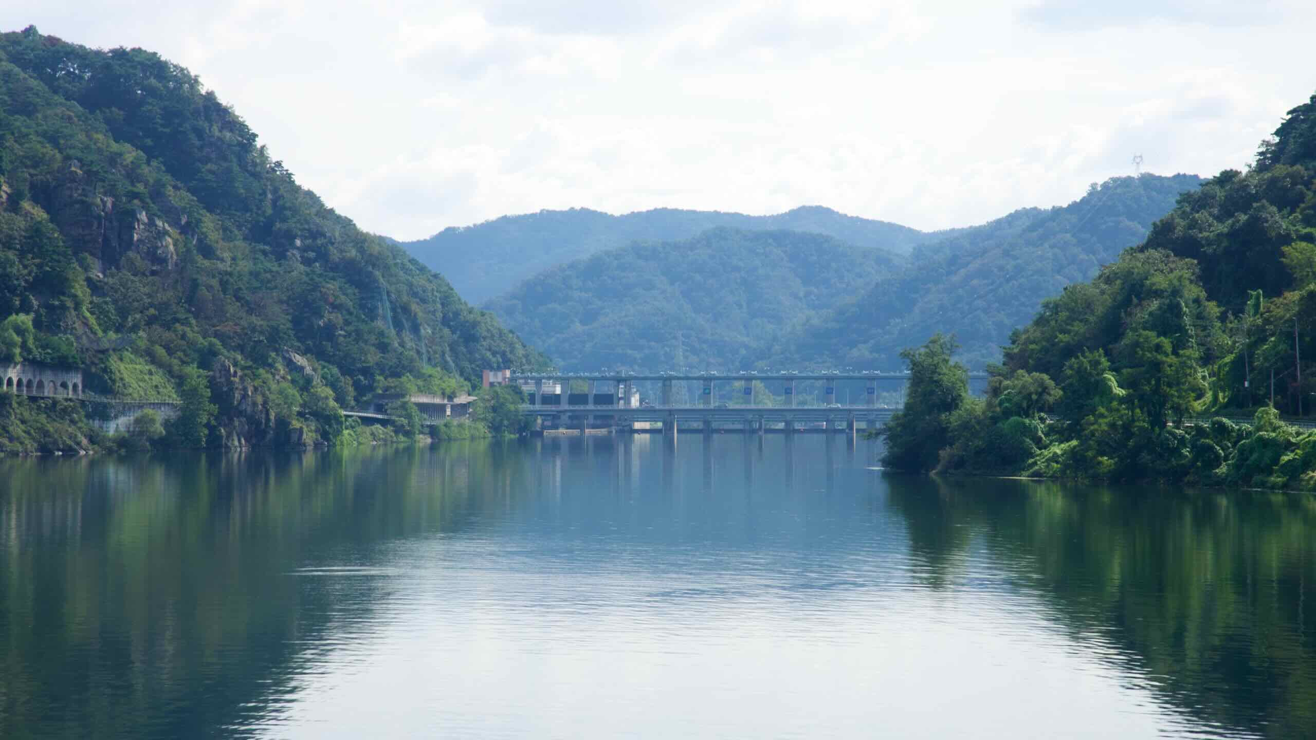
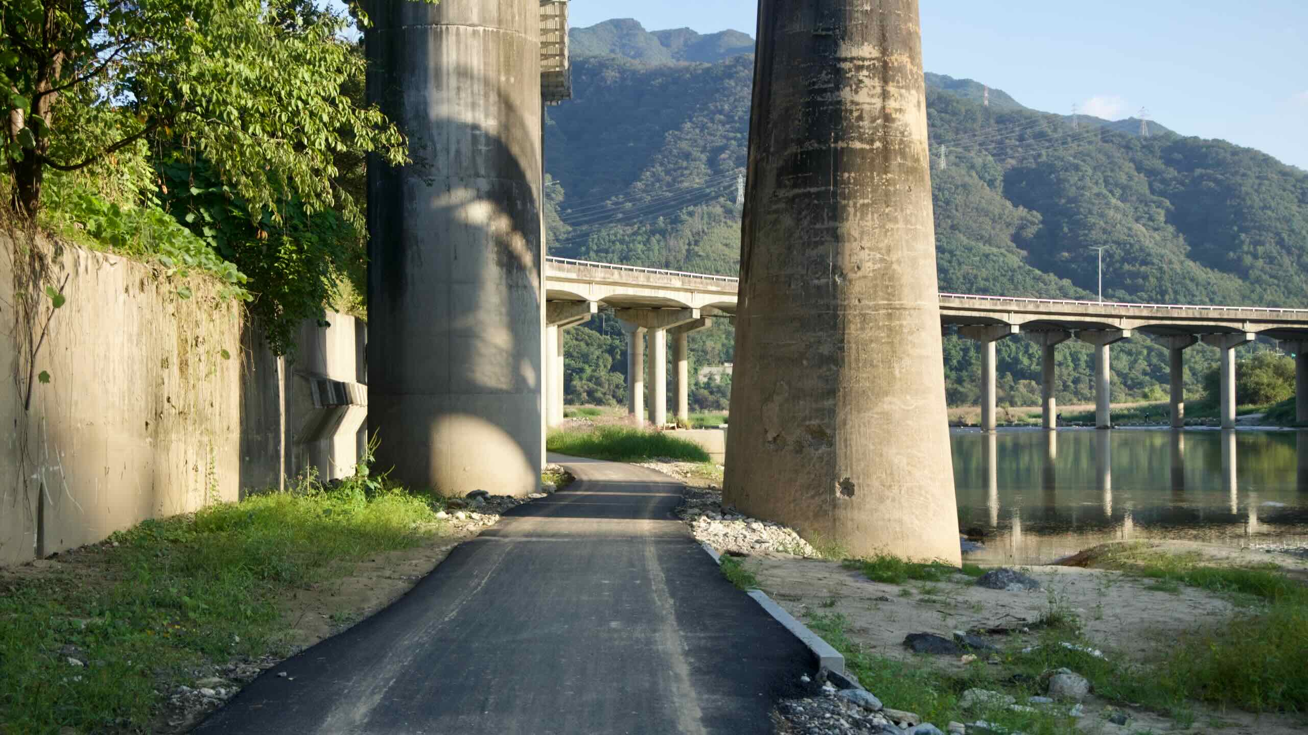
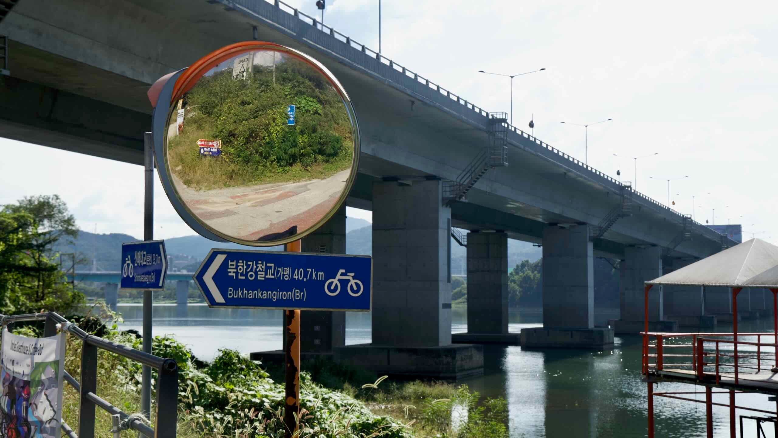
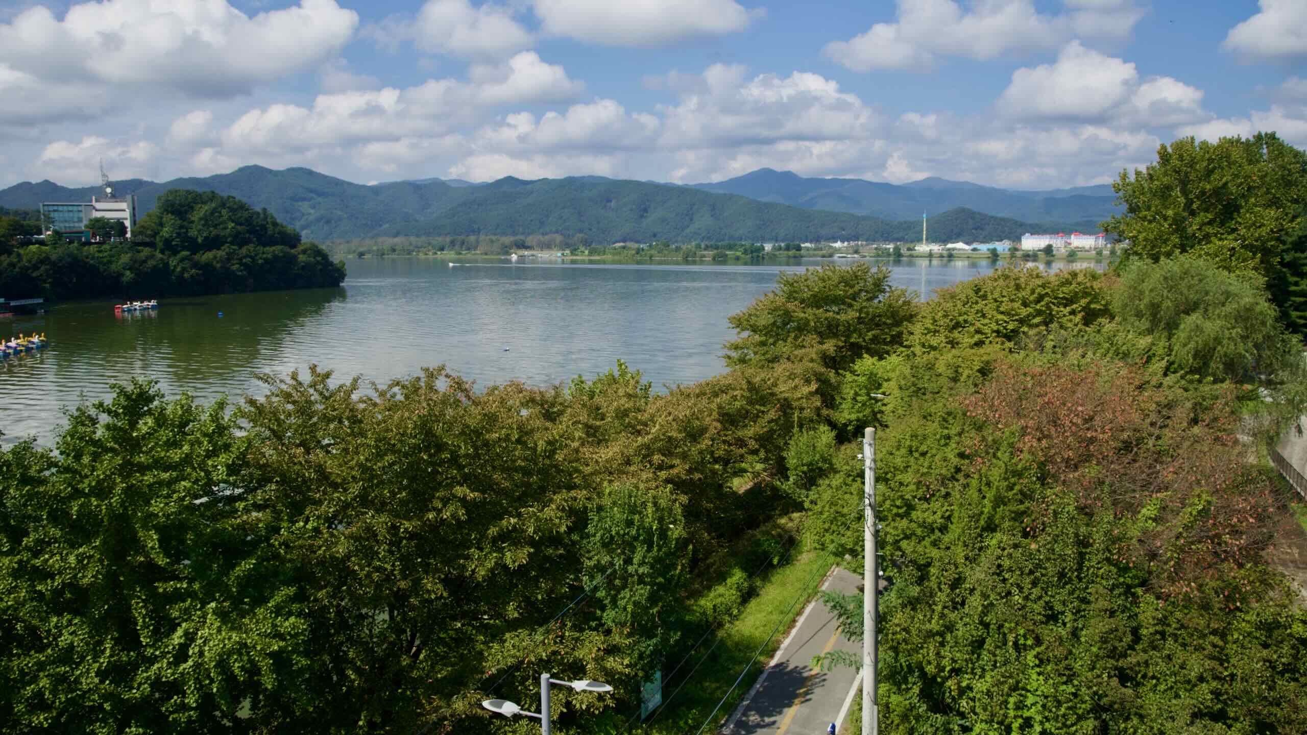
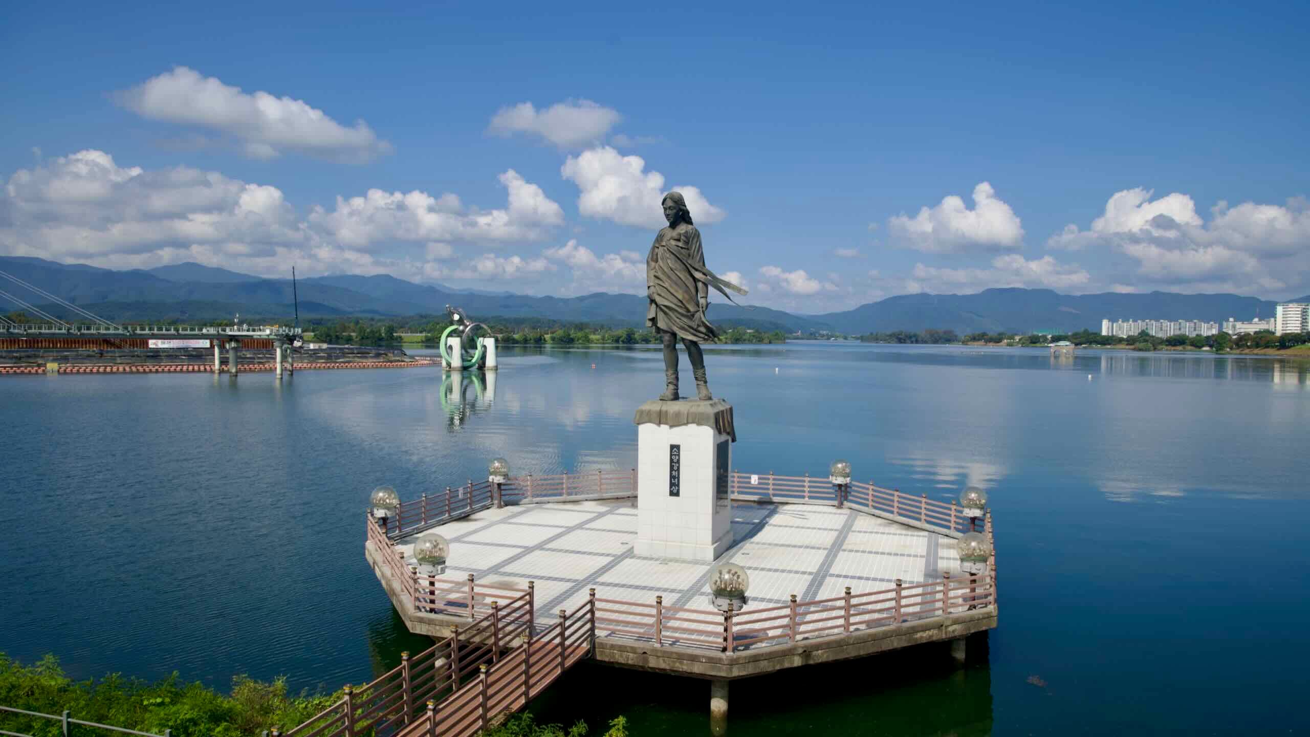
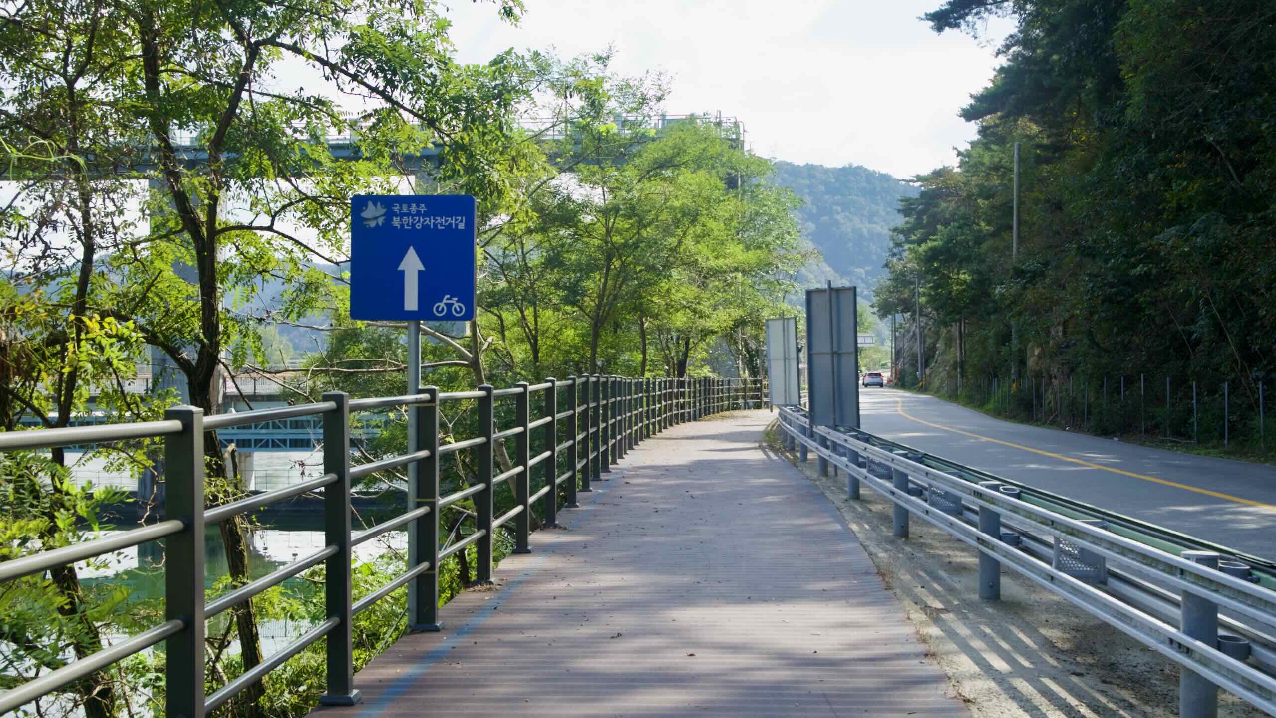
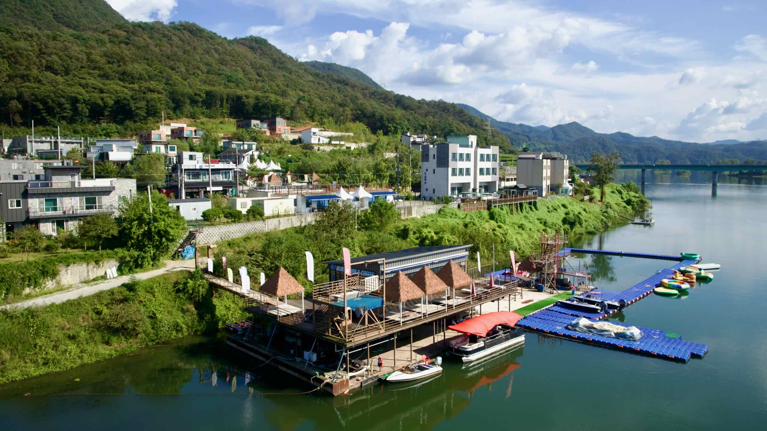
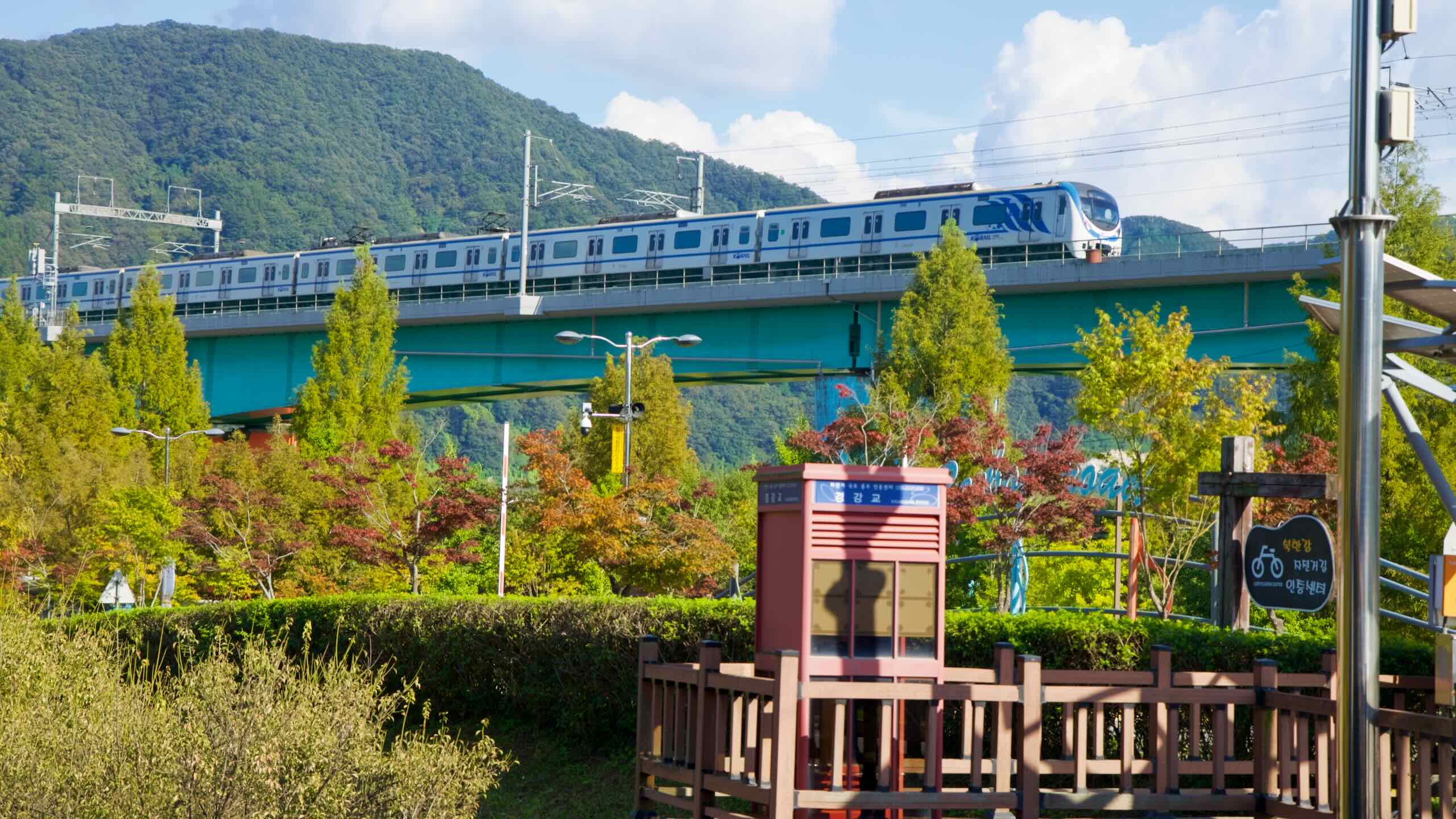
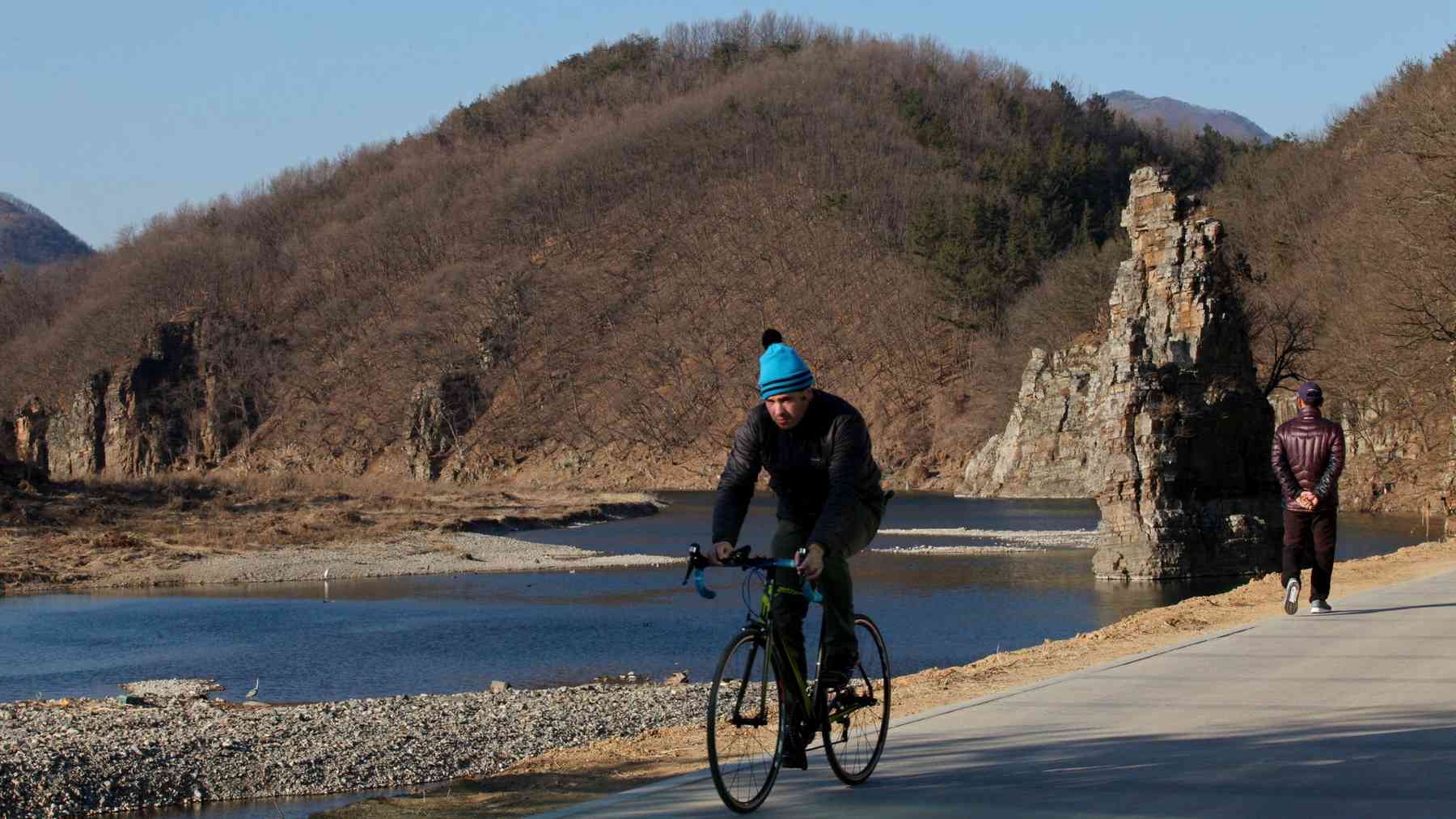
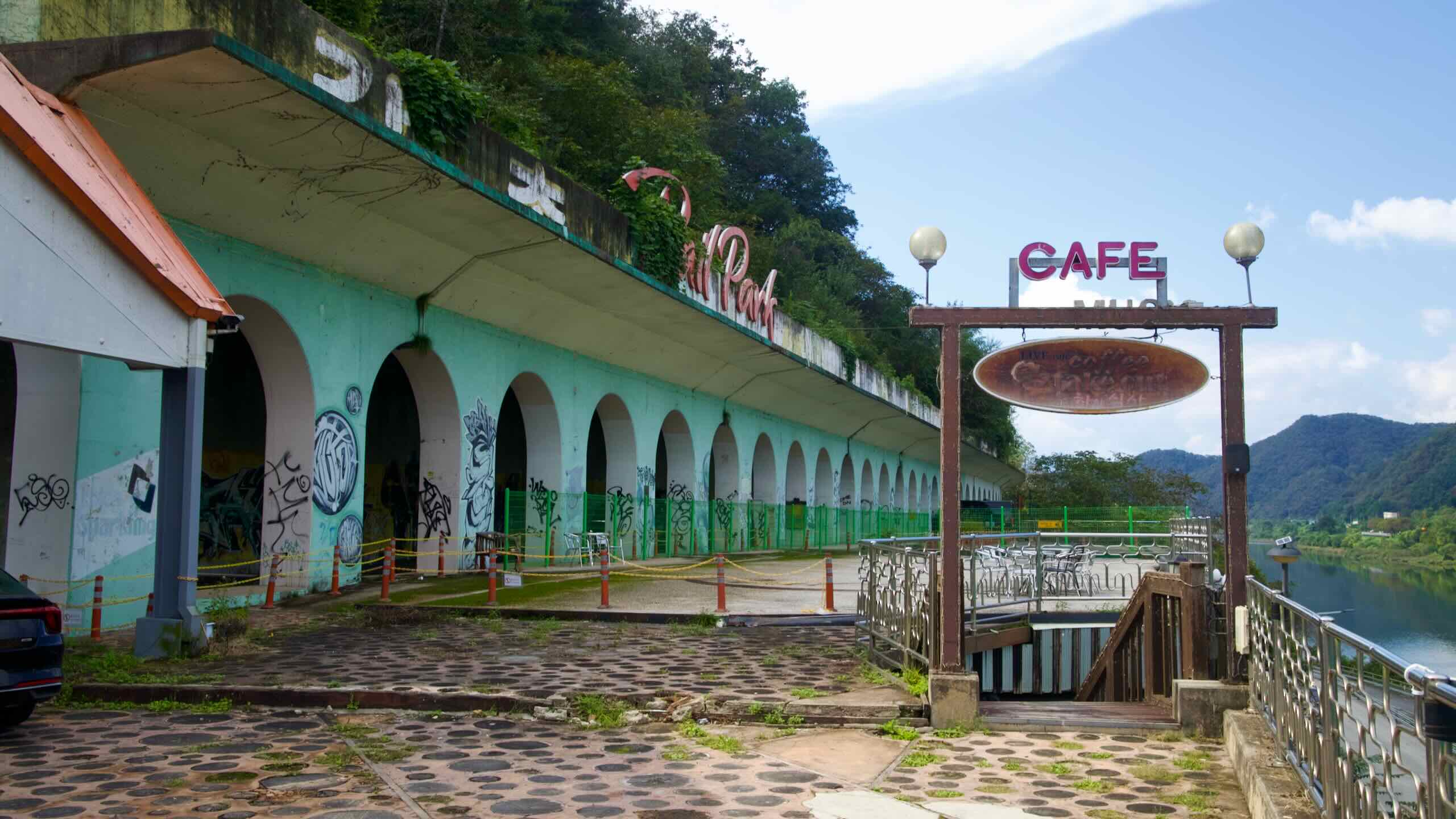
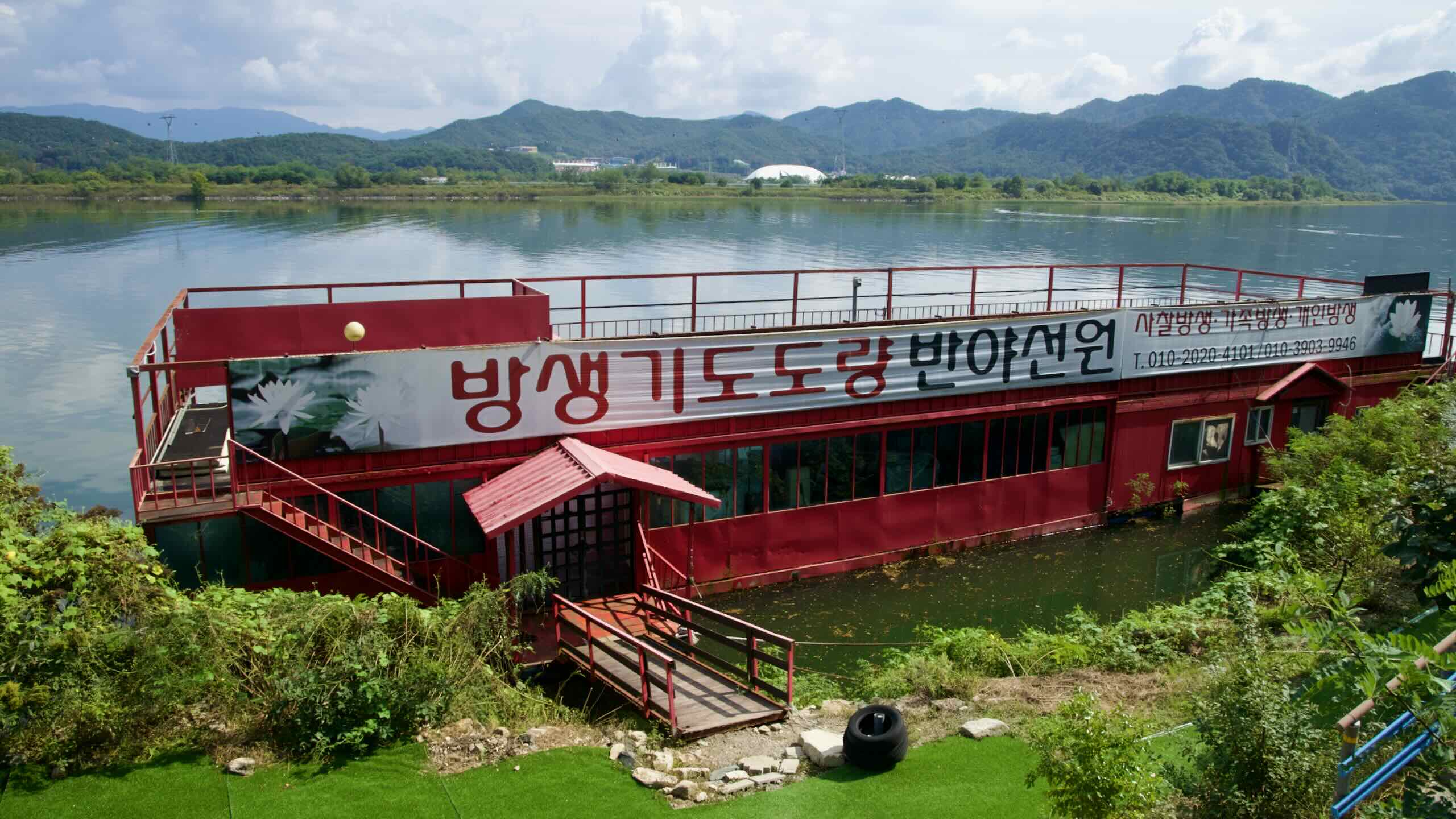
The Bukhangang Bike Path branches off from the Hangang Bike Path and Cross-Country Route just east of Seoul. It starts in Namyangju City (남양주시; map), heads up the North Han River (북한강; Bukhangang; map), and finishes in Chuncheon City (춘천; map), the capital of Gangwon Province (강원도; map).
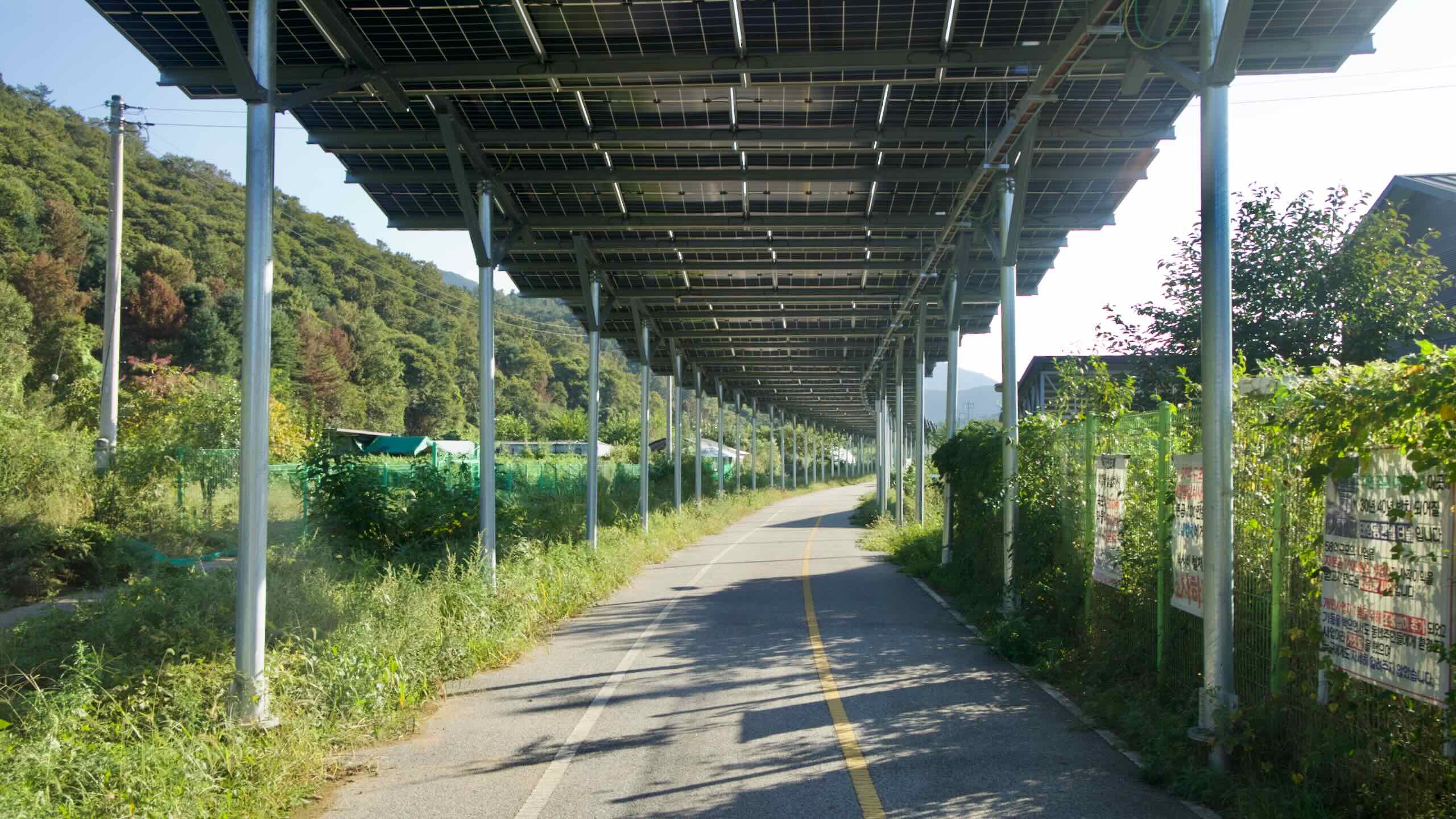
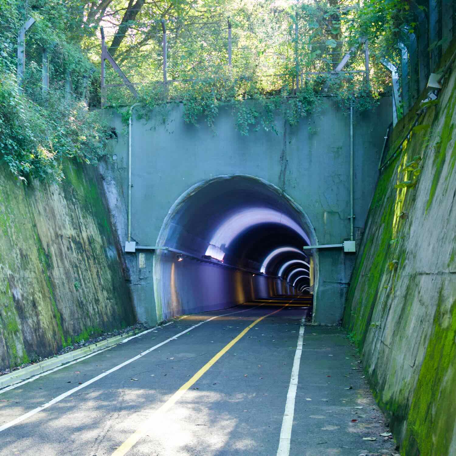
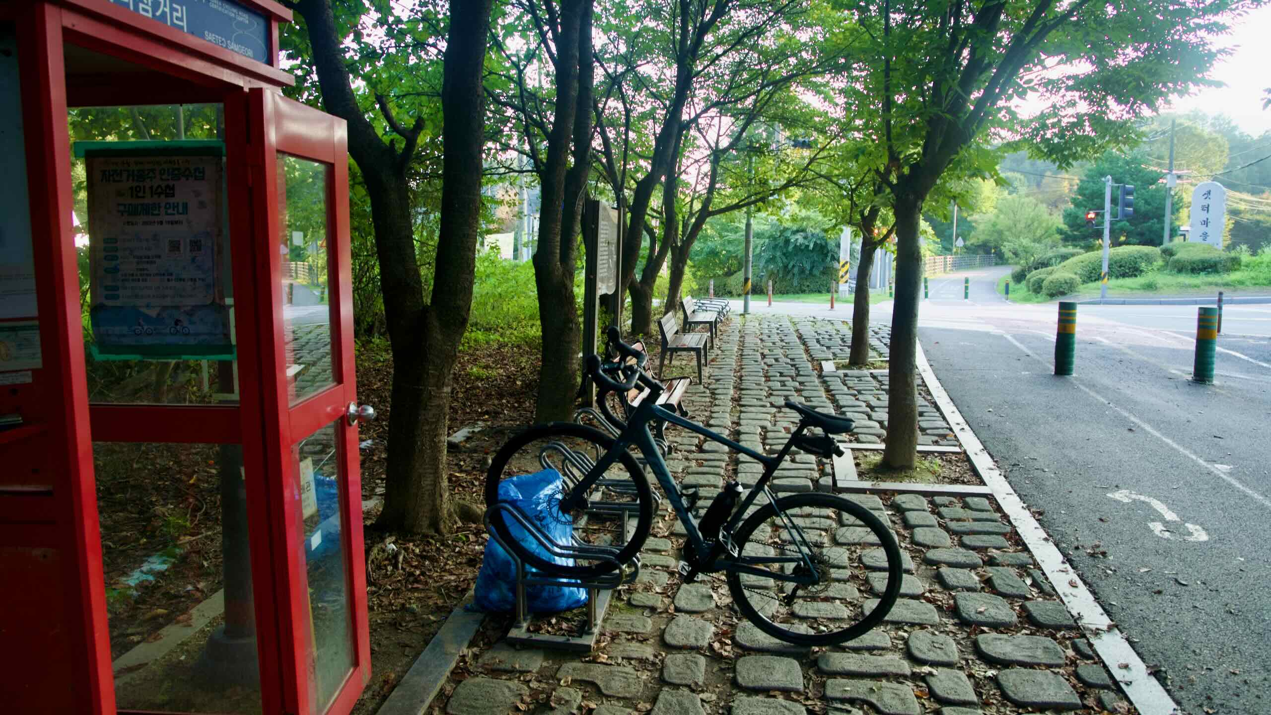
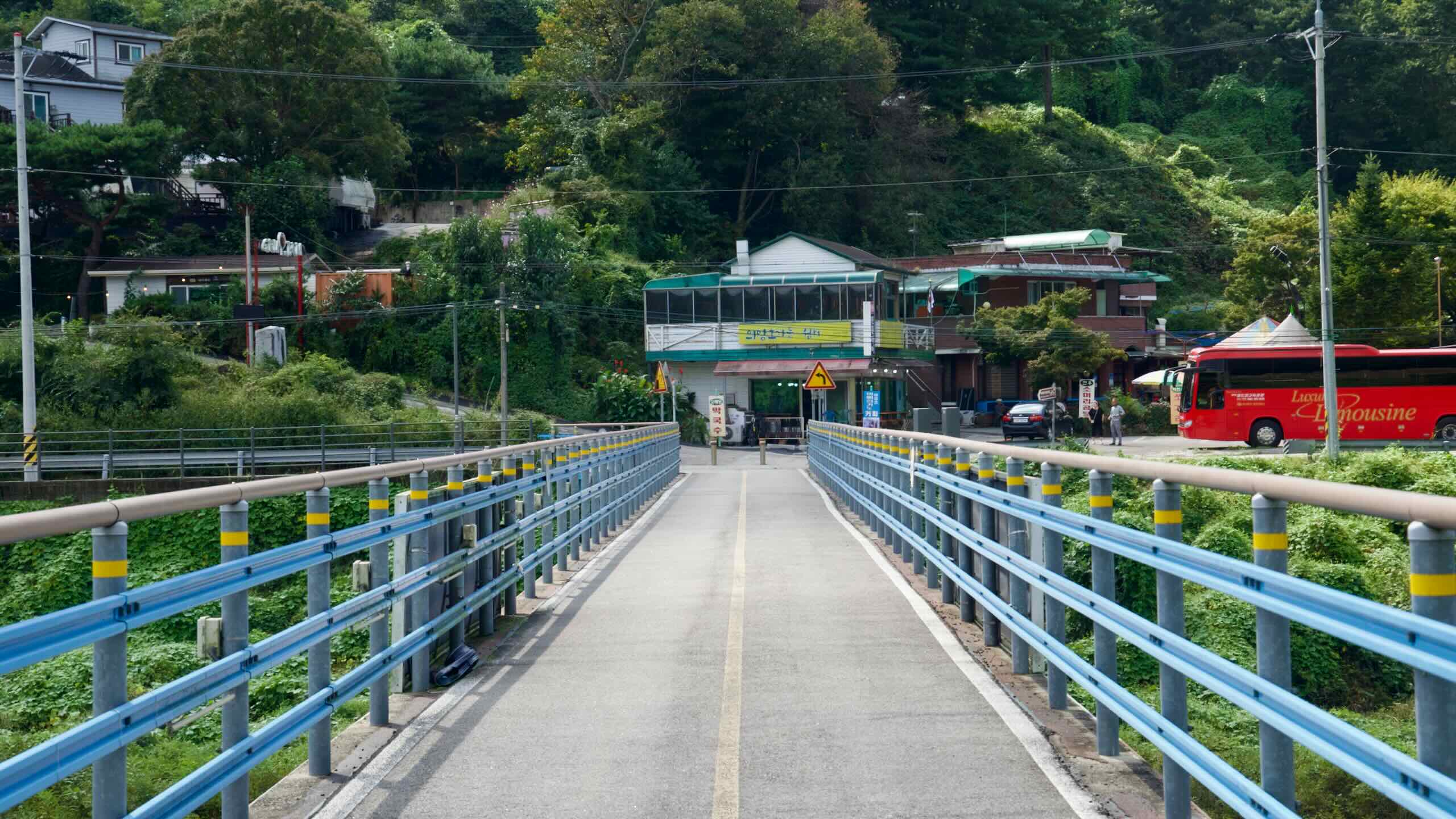
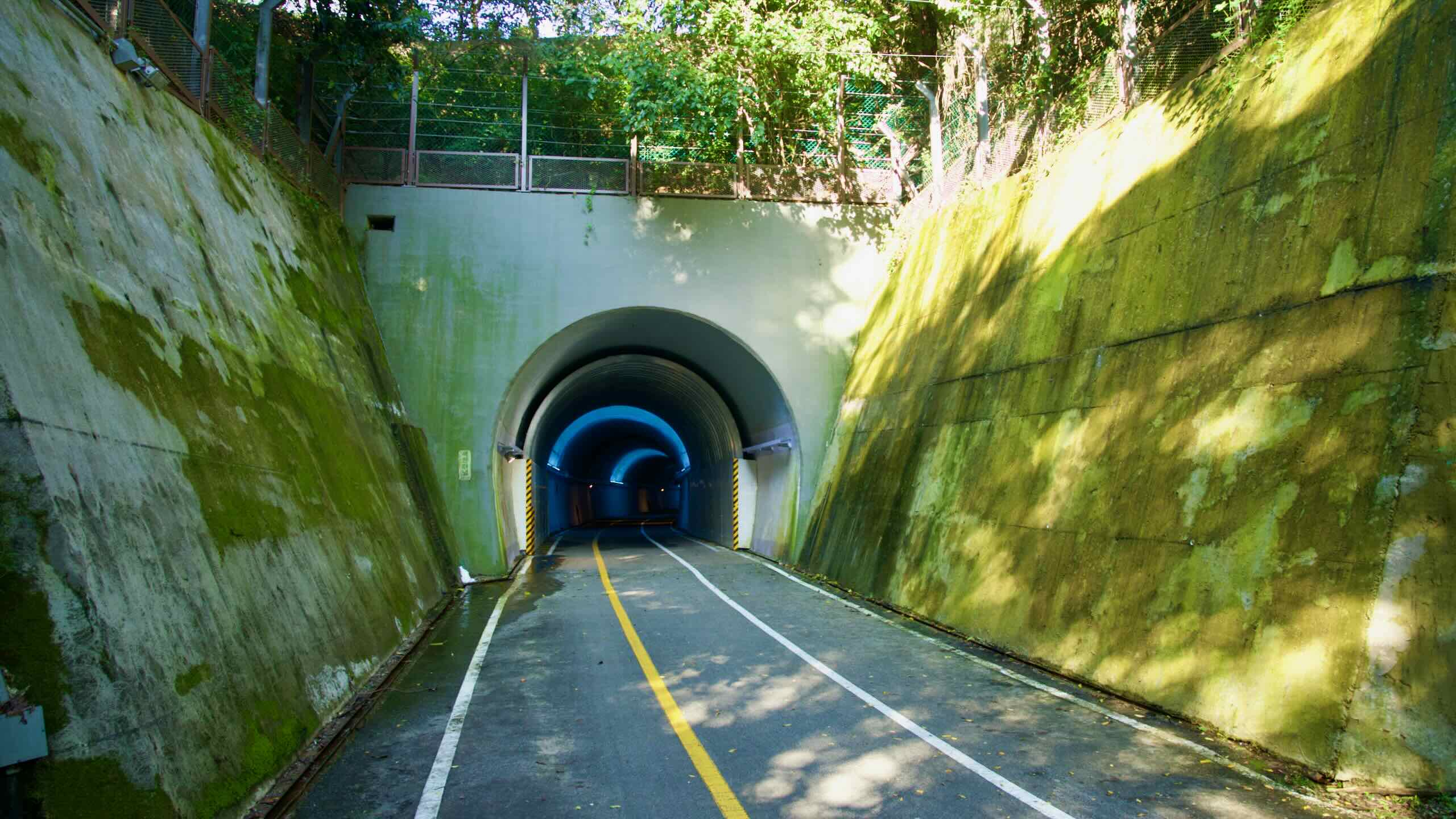
Like the Bike Seoul to Yeoju section of the Hangang Bike Path, the Bukhangang Bike Path follows a decommissioned rail line. This helps riders avoid major hills and decorates the course with a few retired train tunnels.
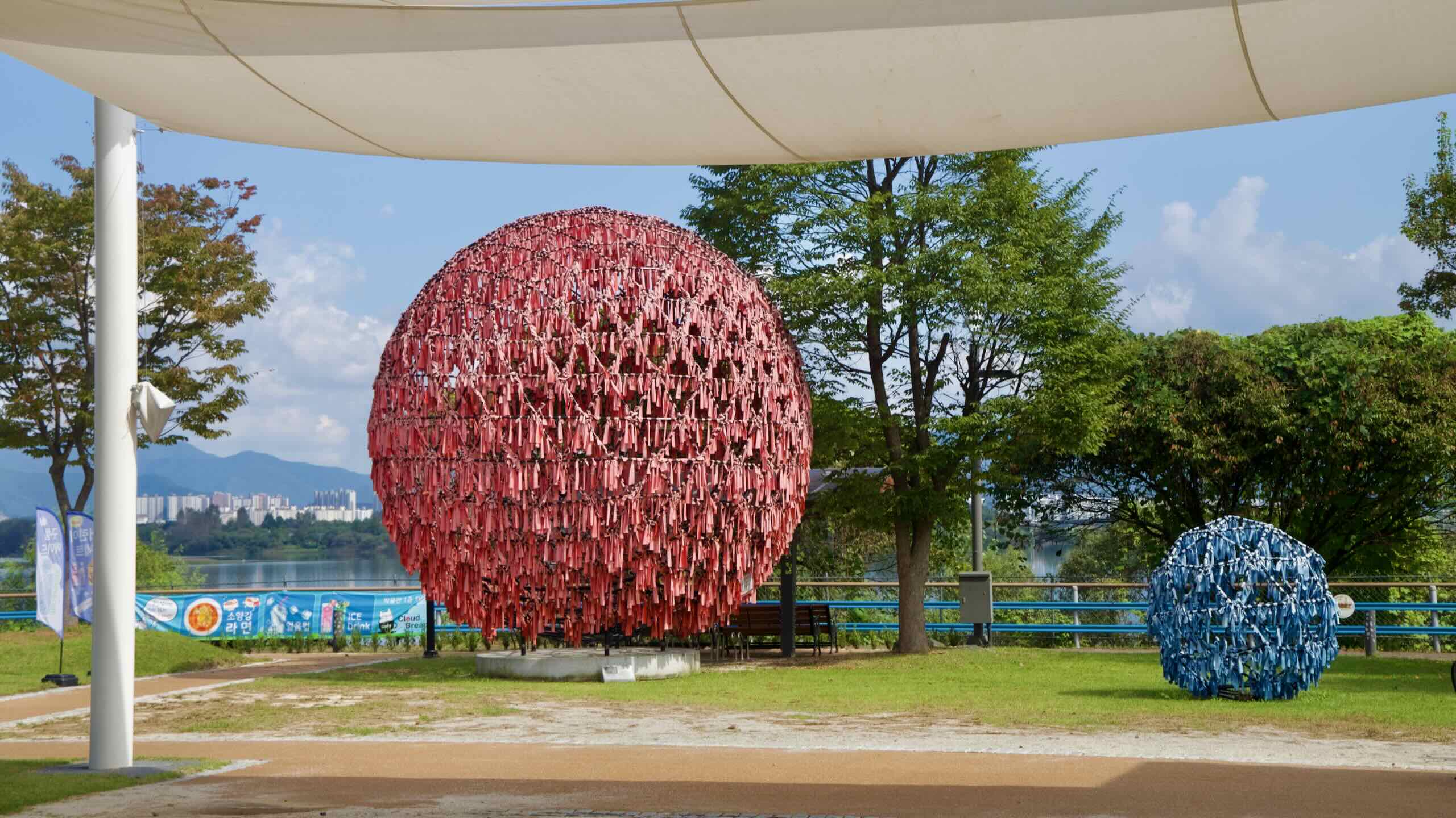
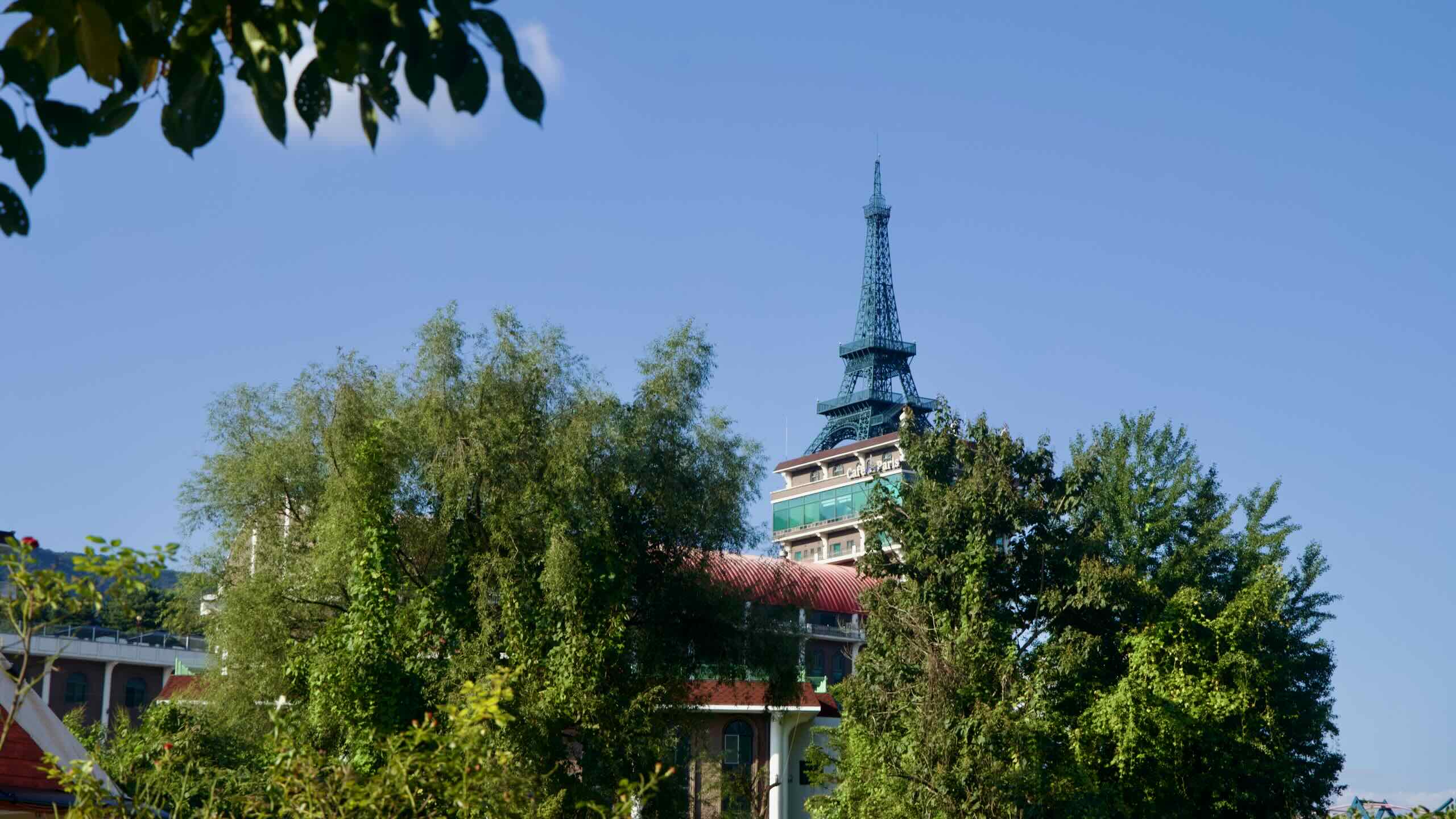
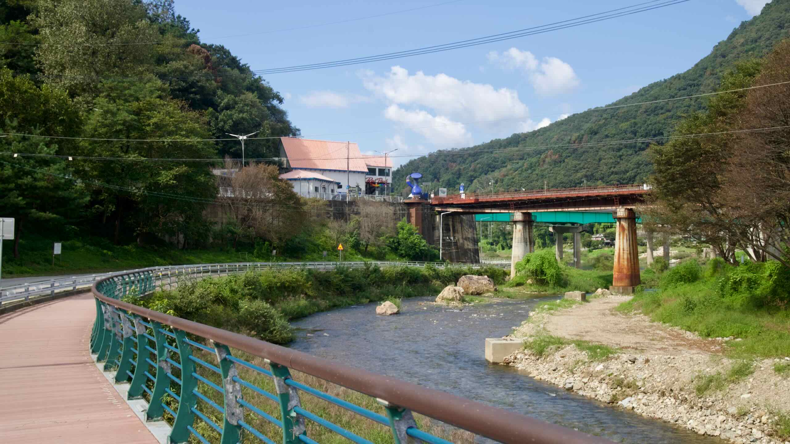
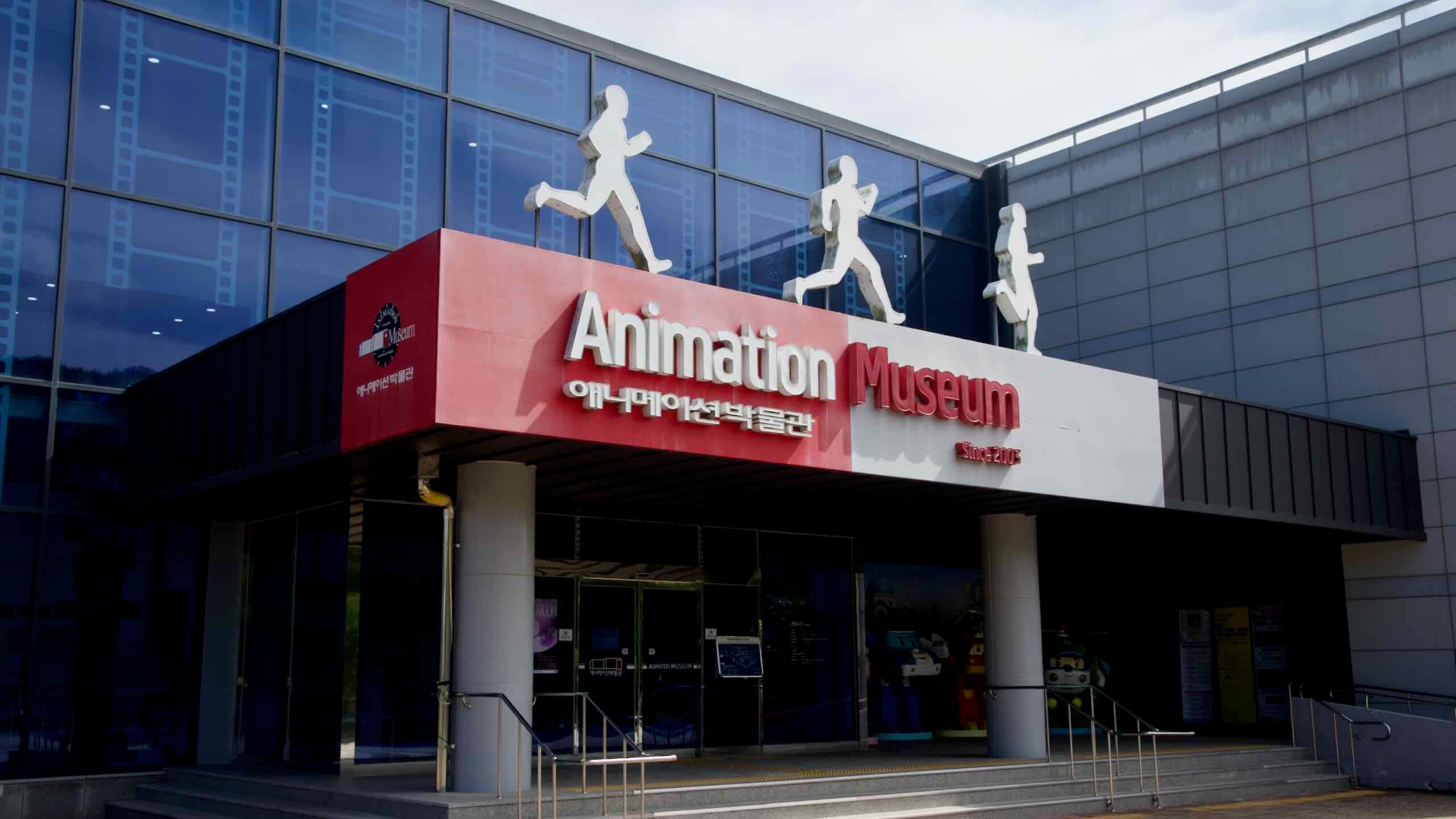
Also dotted along the route find waterside parks, a railbike, delicious cuisine, and museums and theme parks.
Below, find all the resources you need to complete the Bukhangang Bike Path.
- Bukhangang Bicycle Path — an overview of the bike path.
- Bike Chuncheon to Namyangju — a ride-through (1 of 1).
- The North Han River — a profile of the waterway.
- Highlights — major attractions on the Bukhangang Bike Path.
- How to Get There — transportation to the Bukhangang Bike Path.
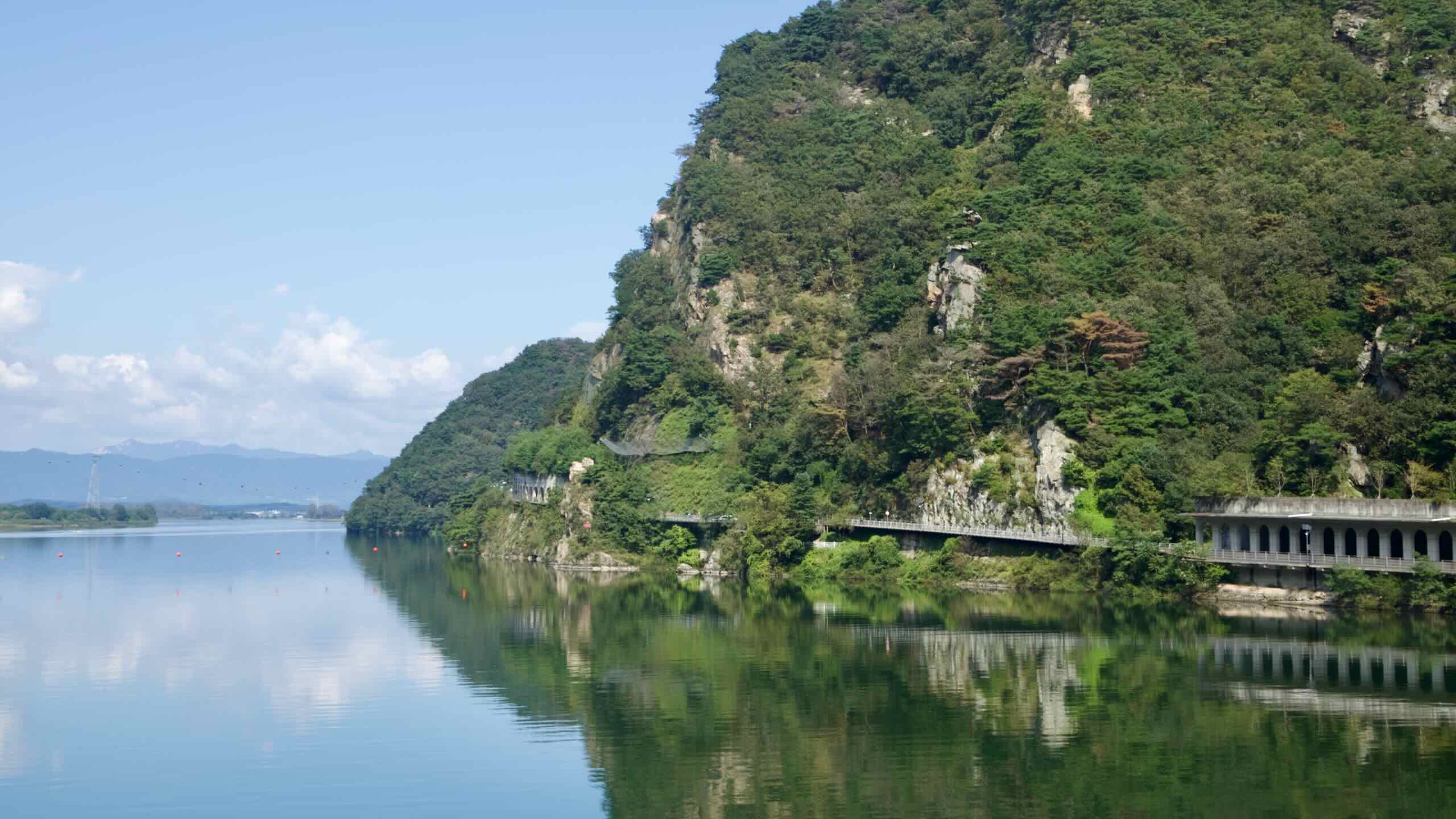
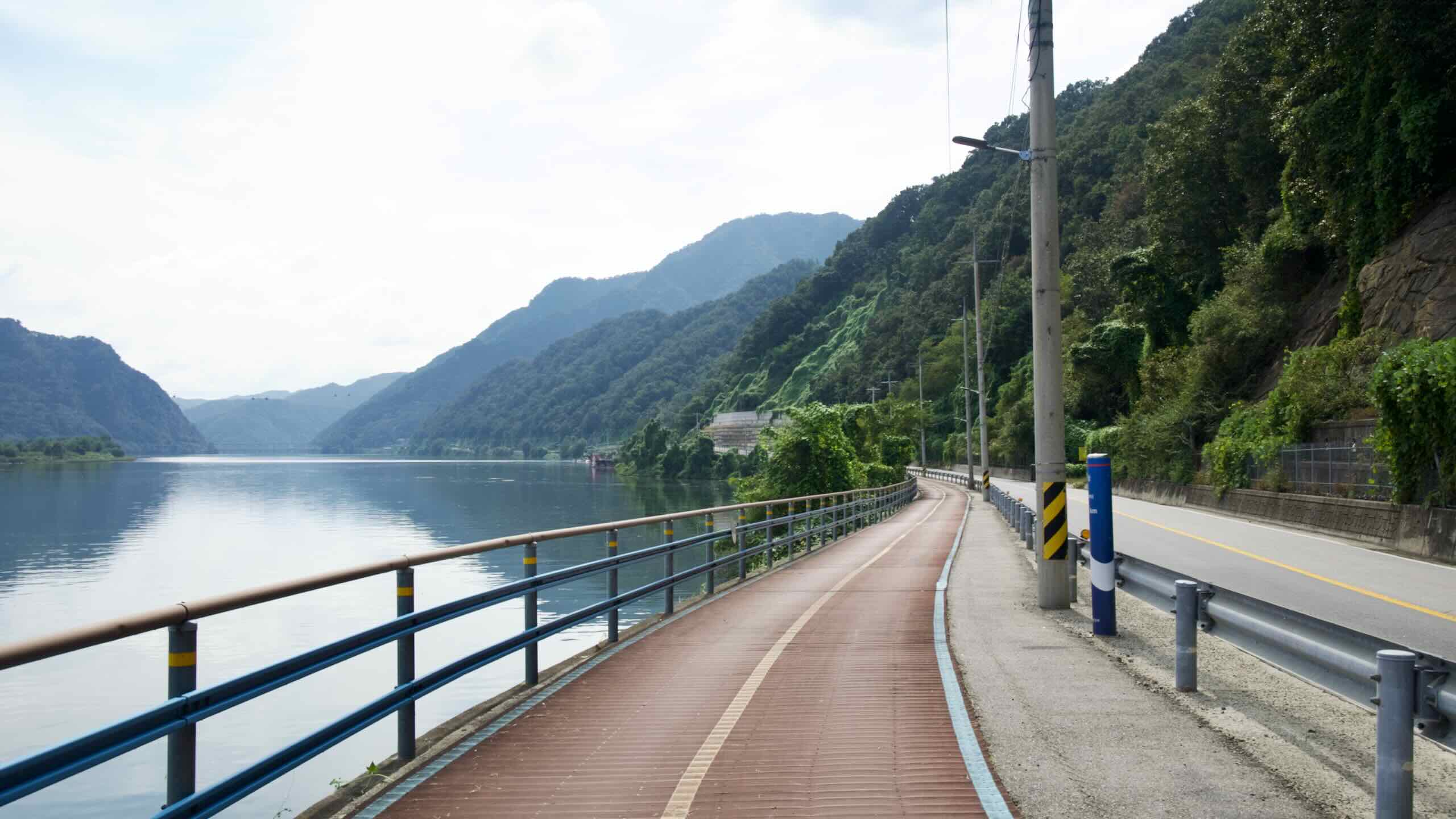
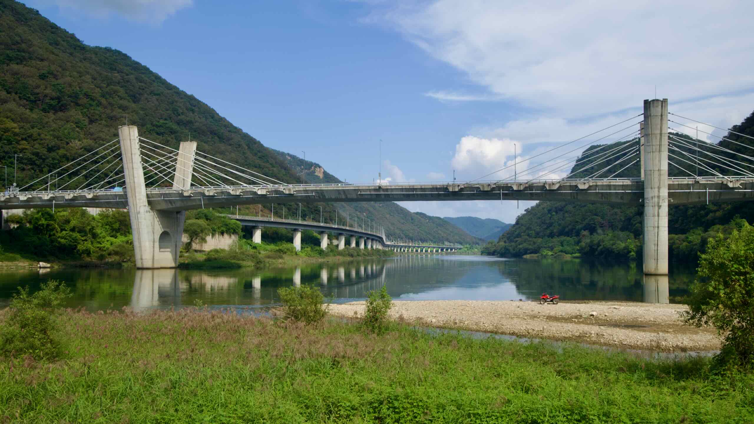
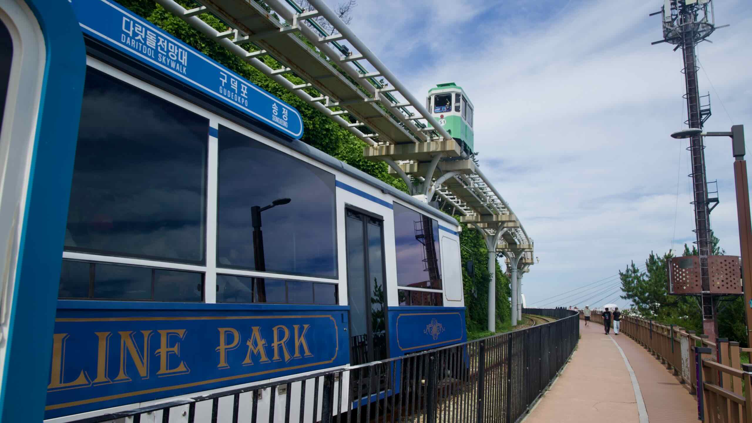
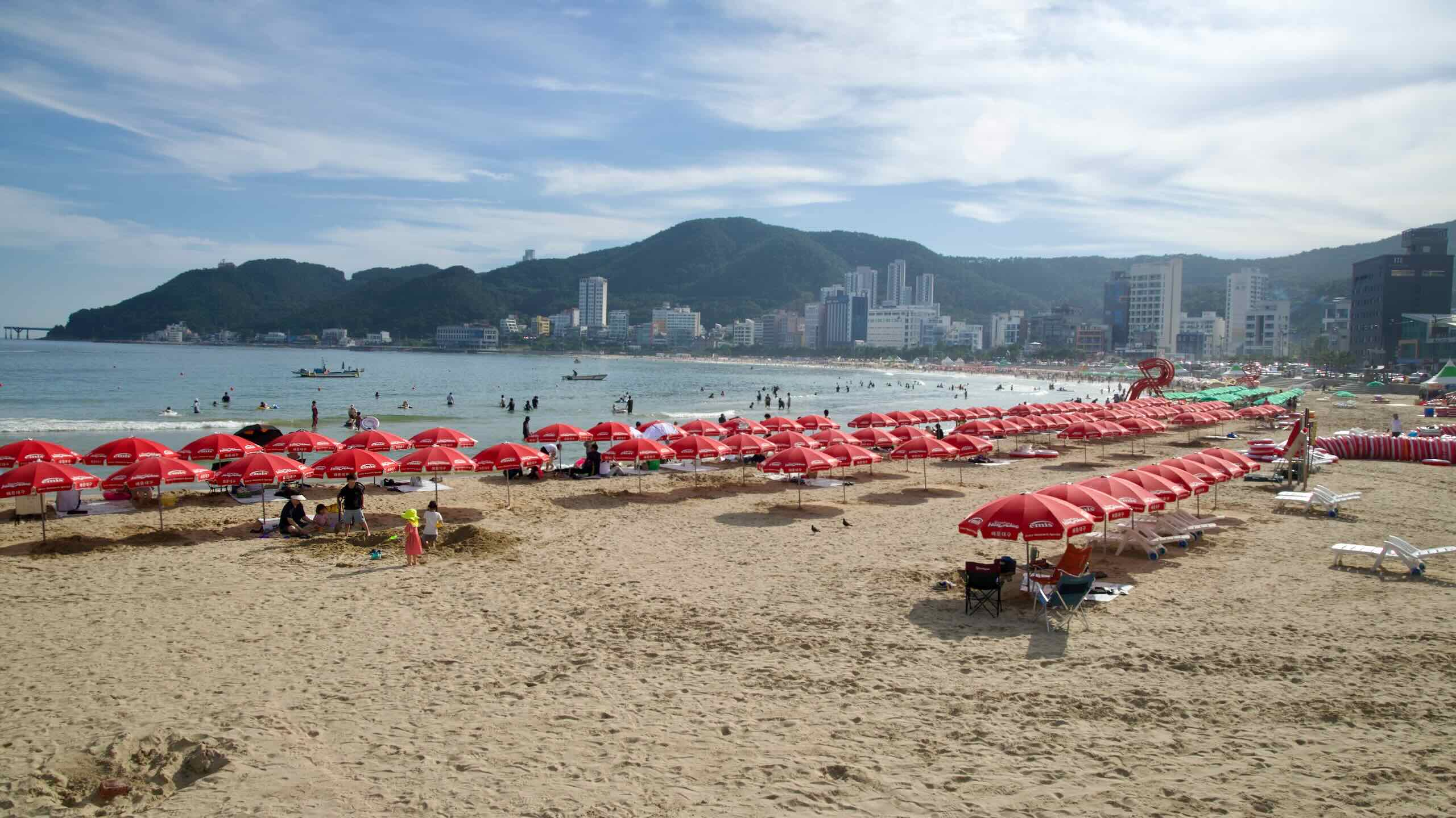
East Coast Route (Part 2)
The East Coast Route covers the top two-thirds of South Korea’s East Coast. The southernmost certification center (stamp booth) sits in Yeongdeok County (영덕군; map), North Gyeongsang Province (경상북도; map).


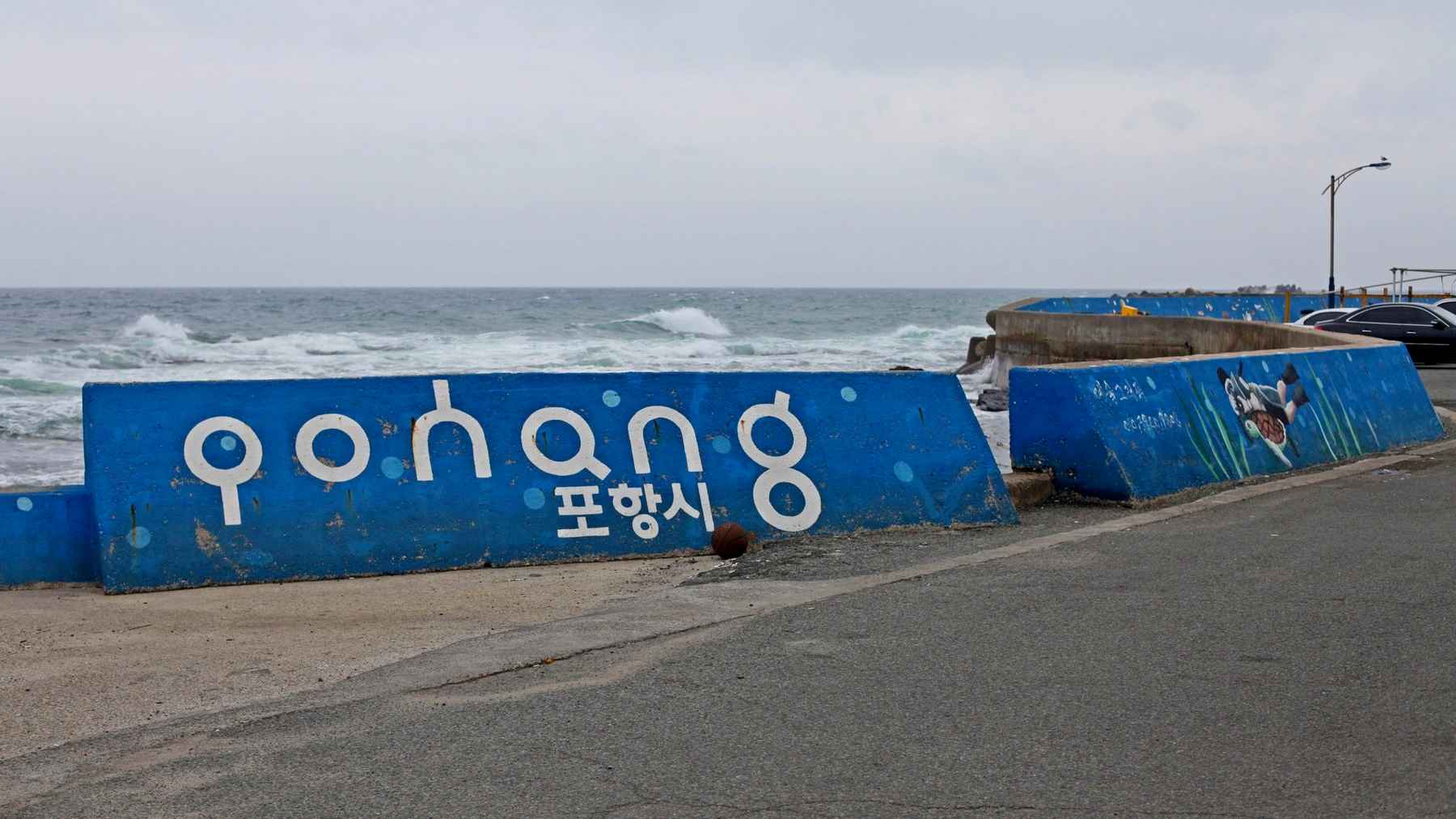
However, planners installed enough biking infrastructure to allow adventurous cyclists to ride clear down to Busan City (부산시; map) on the bottom of Korea’s east coast.
East Coast Route (Part 2) will help you finish the east coast journey. It explores the highlights and difficulties in completing the route.
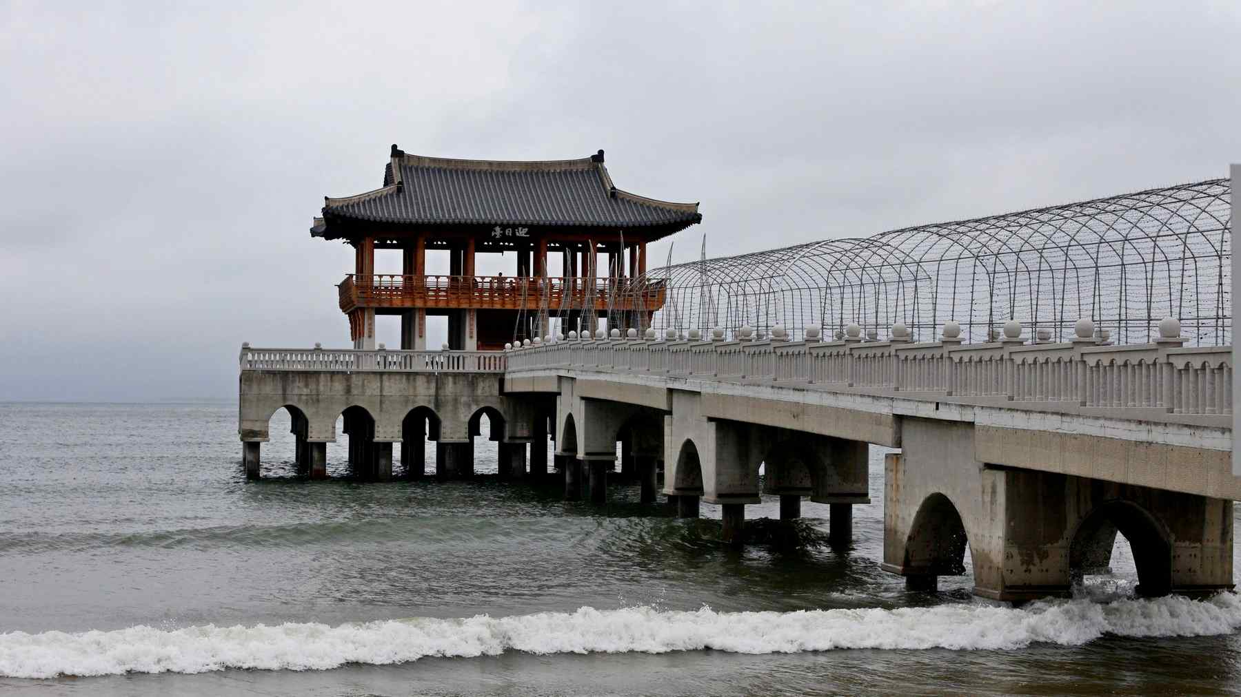
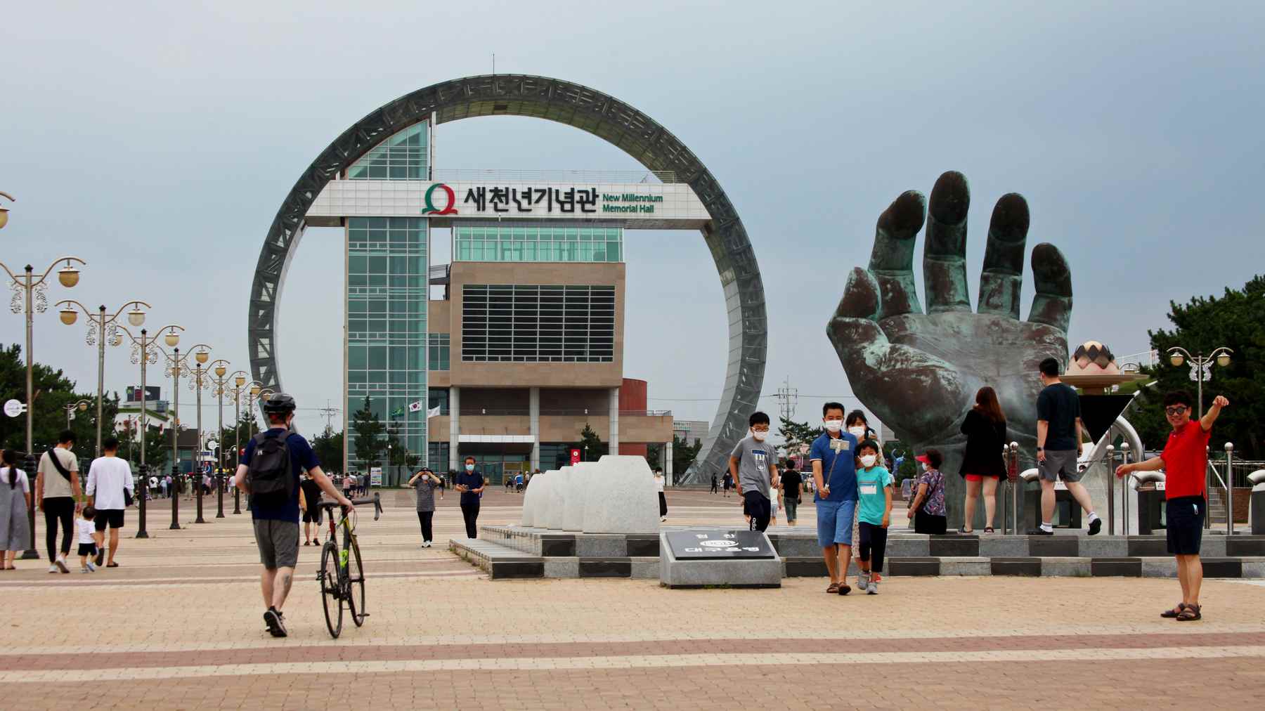
Explore Pohang’s ocean sunrise grasping hand. Ulsan’s dragon back park. Busan’s mega-beach. And more.
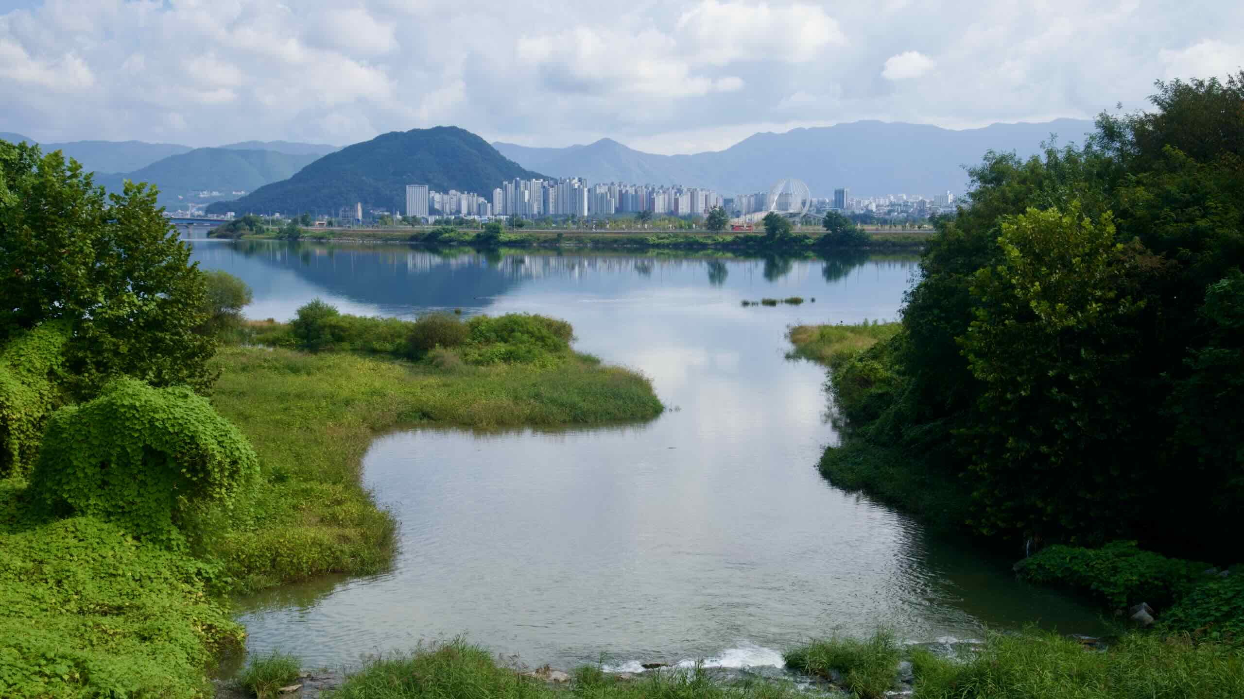
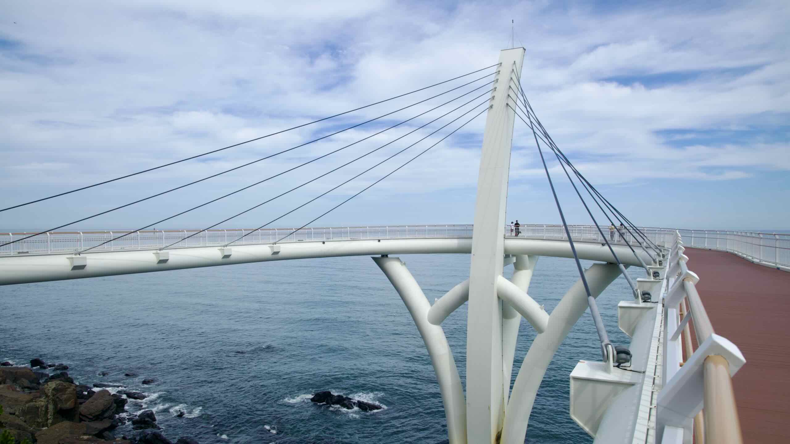
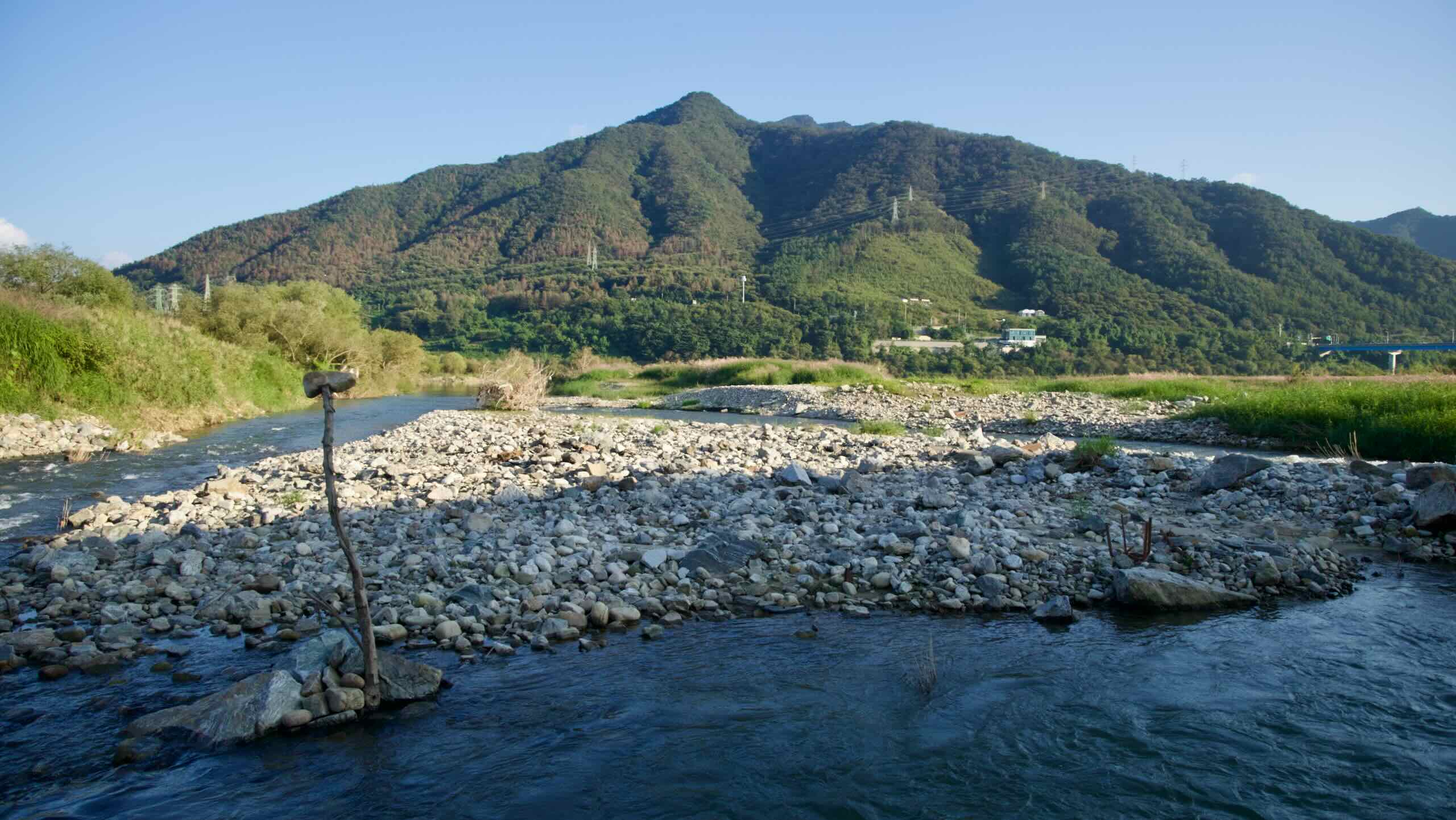
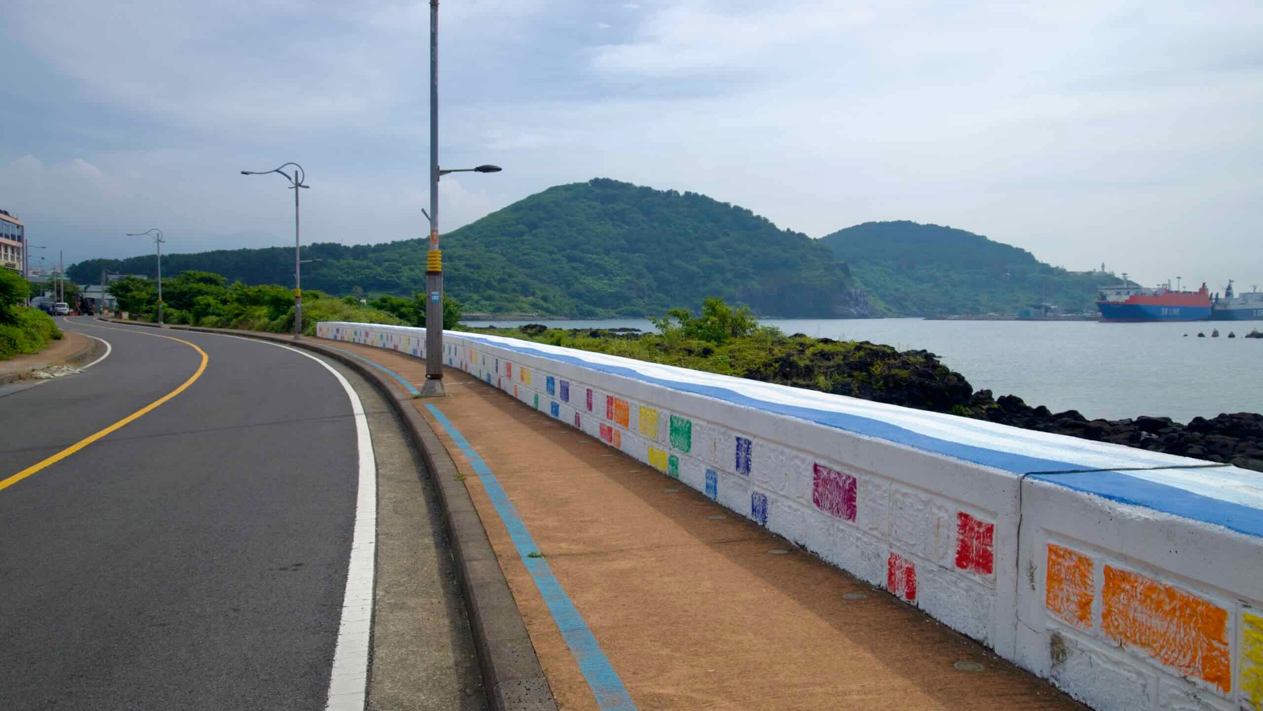
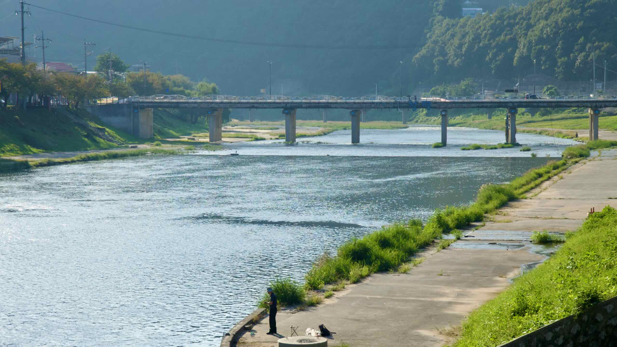
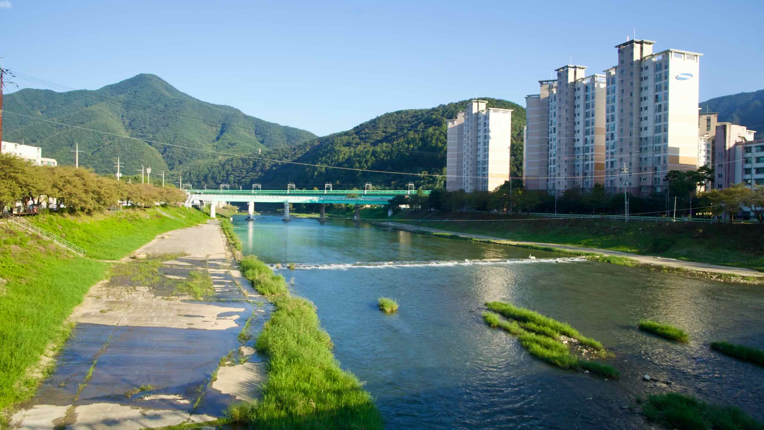
Taehwagang Bicycle Path
The Taehwa River (태화강; Taehwagang; map) and the parallel Taehwagang Bicycle Path cut through the center of Ulsan City. Though not a certification bike path, the cycling course offers a parade of highlights, including:


- Seoknamsa Temple (석남사; map) — a mountainside temple.
- Seonbawi Rock (선바위; map) — a standing rock.
- Taehwa River National Garden (태화강 국가정원; map) — bamboo forest and garden park.
- Dong District (동구; map) — home to the world’s largest shipyard and car plant.
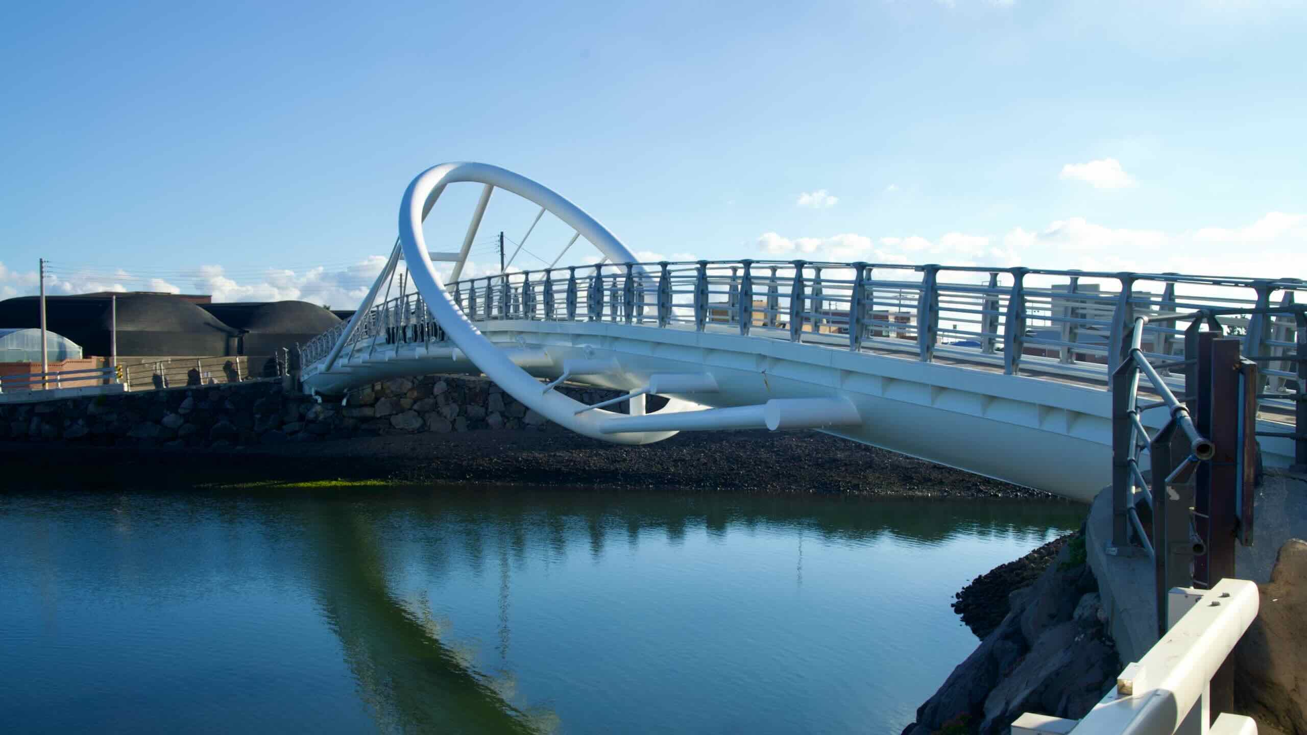
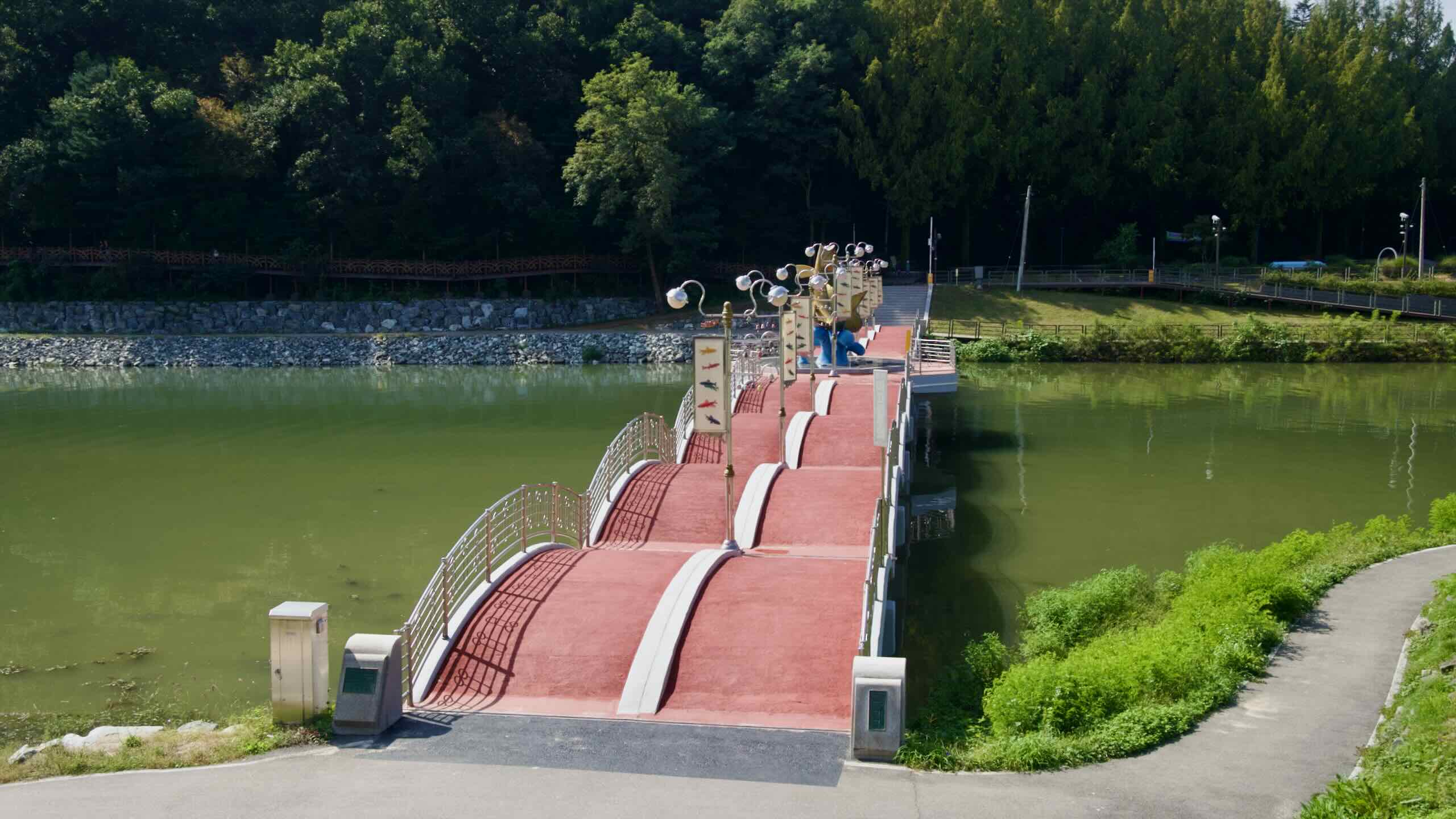
- Daewangam Park (대왕암공원; map) — famed park with picturesque bridges.
Learn how to get there. Discover highlights. Find out where to eat while cycling.
Bike Path Types
The bike paths on Jeju & More Routes offer a variety of cycling surfaces.
- 70% bike paths
- 30% coastal roads
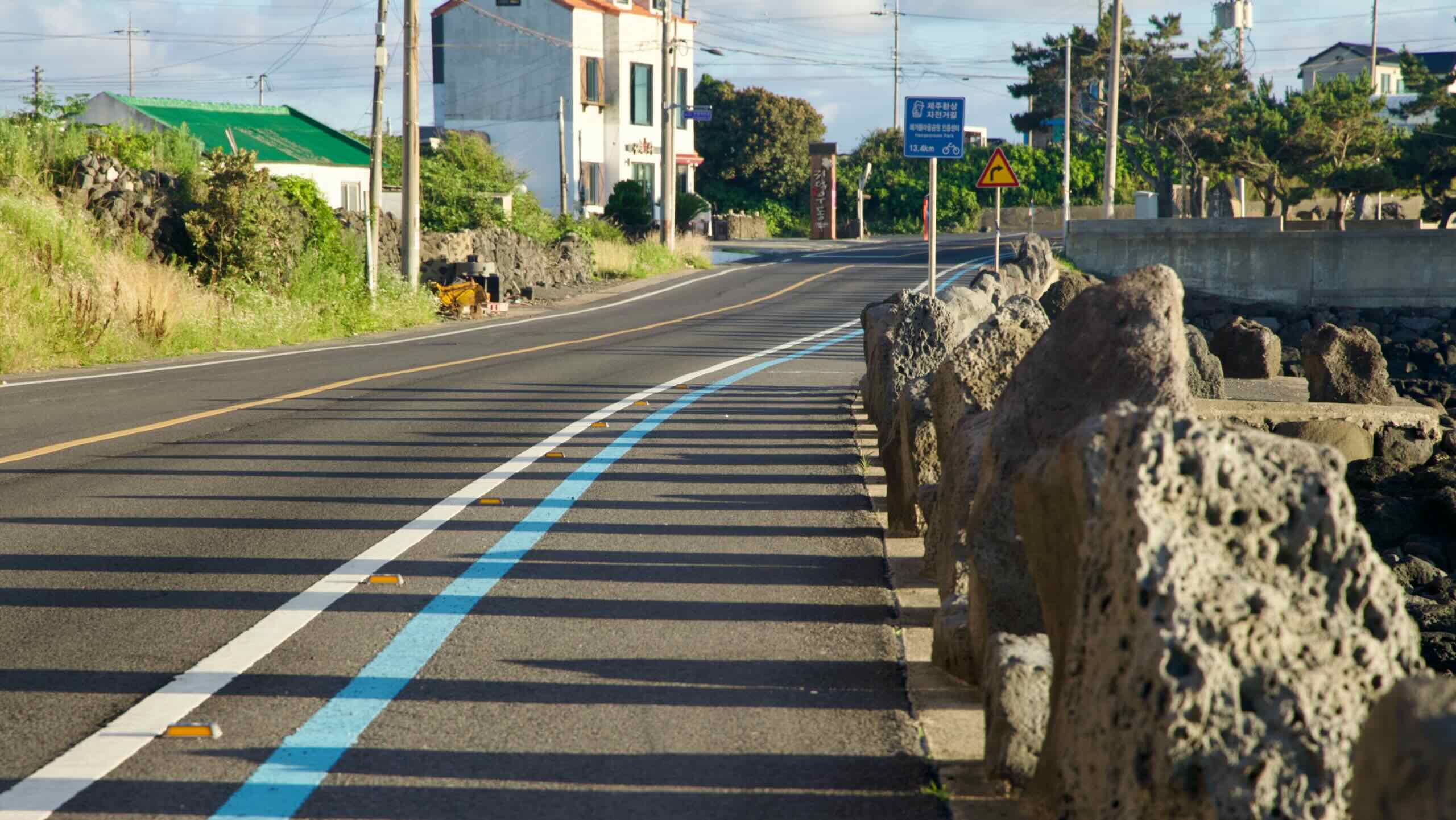
Much of the Jeju Fantasy Bike Path follows coastal roads with designated cycling lanes or wide shoulders, giving cyclists some separation from cars. Other stretches use bike-only paths embedded in well-maintained sidewalks. Only rarely does the route hop onto unprotected vehicle roads. Most of Jeju’s coastal roads are two lanes and draw slower, local traffic, since expressways absorb the bulk of high-speed vehicles.


Because Jeju is not only a tourist hotspot for Korea but a regional destination attracting visitors from China, Japan, and beyond, expect heavier pedestrian use than on mainland routes. Popular attractions like Seongsan Ilchulbong, Hallim Park, and Jeju City’s beaches often see tourists wandering into bike lanes to take photos. Bring a bell and keep alert for weaving foot traffic.
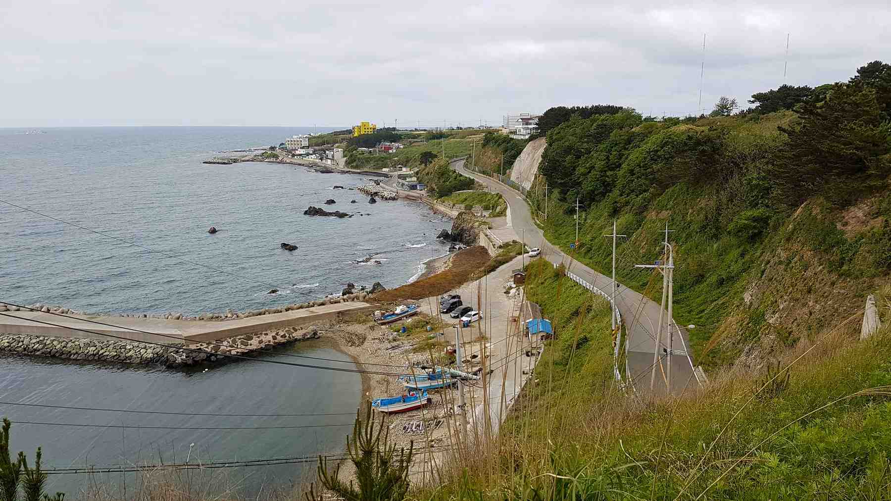
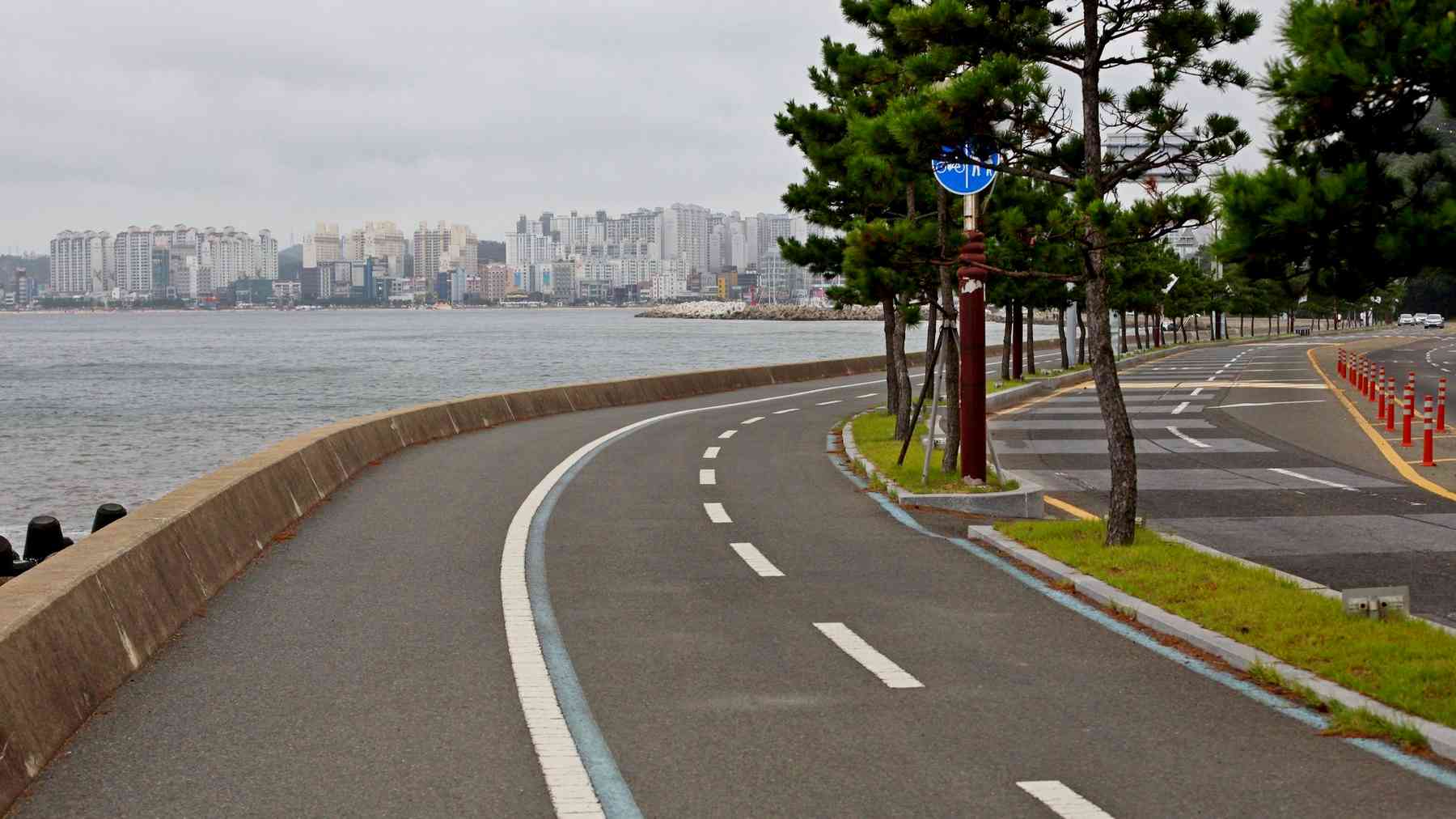
The East Coast Route (Part 2) has improved its infrastructure and features clearly designated blue cycling lines that help guide cyclists through its ports and small towns. However, much of the route still uses coastal roads without bike lanes. The bad news? You’ll be sharing the road with SUVs, sedans, and bongo trucks. The good news? Expressways siphon off most high-speed traffic, leaving mainly local and sightseeing vehicles.
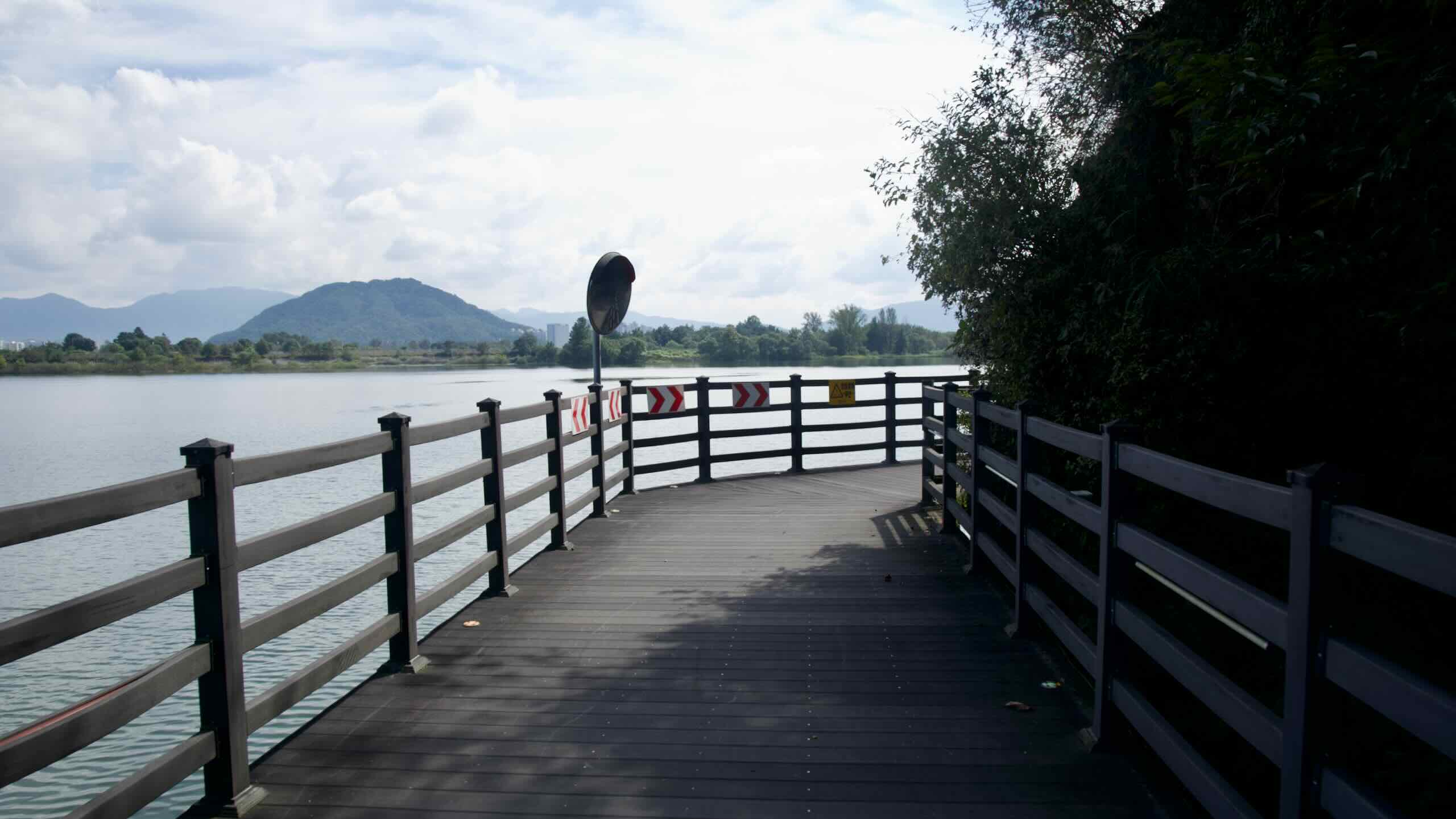
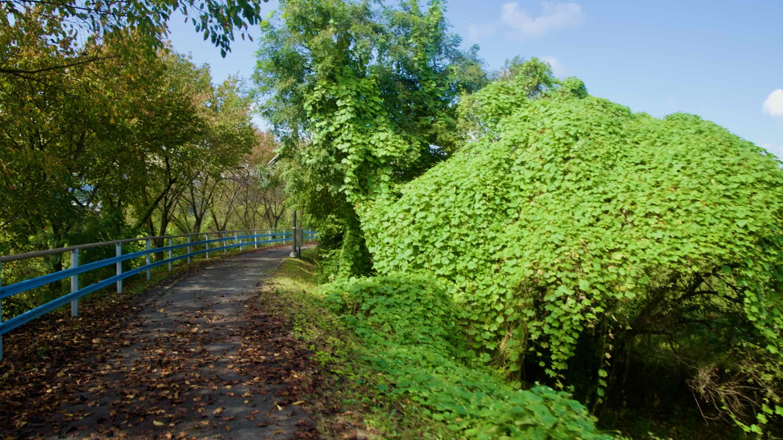
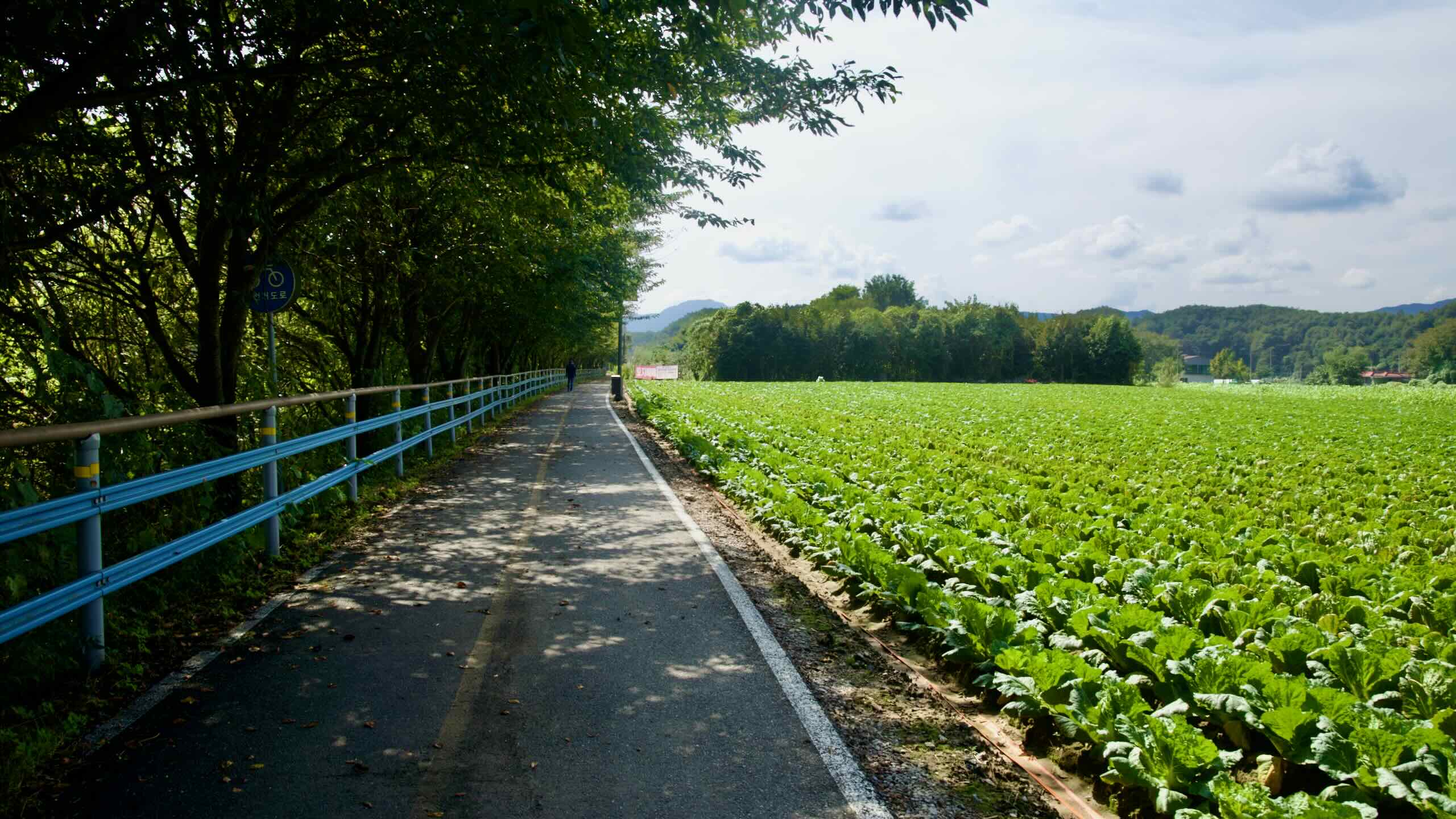
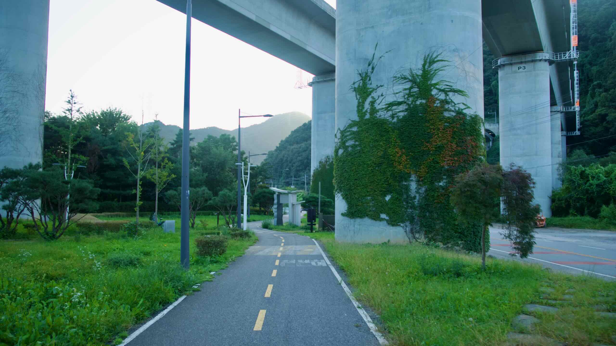
The Bukhangang and Taehwagang Bike Paths offer a different experience. Most of their routes use bike-only lanes, not roadways. The Bukhangang Bike Path runs through riverside parks and along a paved-over rail line. Near Chuncheon, it diverts onto sidewalks beside rural roads. The Taehwagang Bike Path is mostly protected as well, with only a few farm access roads and country roads in the mountainous west. The eastern Dong District mixes neighborhood streets and sidewalks.
Time & Distance
Jeju & More Routes offers two multi-day courses and two one-day trips.
The Jeju Fantasy Bike Path measures 234 kilometers, making it the third longest certification bike path after the Nakdonggang (389 km) and Gangwon (225 km). Unlike river routes on the mainland, the course circles Jeju Island in a complete loop, tracing much of its coastline while detouring inland around volcanic cones and towns.


Although the path avoids Mount Hallasan’s central peak, it still includes a 100-meter-plus hill on the island’s southwestern tip and several short but moderate sections climbing scenic basalt cliffs. Ten certification centers ring the course, requiring riders to pace their journey if collecting stamps. Fit cyclists can complete the loop in under two days, but most budget four to five days to stop at landmarks like Seongsan Ilchulbong, Hallim Park, and the island’s beaches.
At 70 kilometers, the Bukhangang Bike Path is the second shortest certification path. It relies on an extensive network of protected bike lanes, making the ride simple and unobstructed. A 154-meter hill in the middle may slow progress, but the grade is gradual. Connected directly to the Namhangang Bike Path at Yangpyeong, it can be finished in an afternoon or extended into a longer Cross-Country ride.
The East Coast Route (Part 2) isn’t a certification bike path. But if it were, at 247 kilometers, it would be the second longest after the Nakdonggang. The course follows the lower third of Korea’s east coast, weaving around peninsulas, coastal horns, and a detour into downtown Ulsan, even skirting a nuclear power plant. A determined cyclist can cover it in two days, while those stopping to explore fishing villages or sunrise lookouts should plan on three to four.


The Taehwagang Bike Path measures just 54 kilometers. Much of its elevation lies in the mountainous west, though the grades are gentle. Starting and ending in Ulsan, the course is one of the most urban of Korea’s short routes. Cyclists can complete the main course comfortably in less than a day.
For comparison, the Ara Bike Path is the shortest certification route at 21 kilometers, while the Nakdonggang remains the longest at 389 kilometers. Jeju sits in the upper range, demanding multiple days, while the Bukhangang and Taehwagang offer shorter one-day rides.
How to Get There
The Jeju Fantasy Bike Path lives off the mainland. But it and the other Jeju & More cycling courses aren’t difficult to reach. You just need to use all the major forms of transportation: sea, air, and intercity buses.


Jeju Fantasy Bike Path
Need to get to Jeju Island with your bike? The island features one of Korea’s largest ferry terminals and its second largest airport, Jeju International (제주국제공항; map).
One of the busiest passenger routes in the world, the flight from Incheon and Seoul to Jeju takes 1 hour and 10 minutes. A ferry departing from Korea’s southwestern tip takes 5 hours.
Most airlines departing from Incheon and Gimhae International Airport count bicycles as checked items. Korean Air and Asiana Airlines allow one free checked bag. Budget airlines like Jeju Air, Air Busan, and Jin Air charge a separate checked bag fee.
Though it’s a longer journey, ferries offer a simple alternative to get to Jeju Island. Most don’t charge fees for bringing your bike onboard. Some include amenities like restaurants, cafes, and even movie theaters.
Ferries depart from all over Korea, including 12-hour overnight ferries leaving from Incheon and Busan. Faster morning and afternoon ferries depart from Mokpo and Yeosu Cities on Korea’s southern coast.


Bukhangang Bicycle Path
Though buses are useful, trains are the best way to get the Bukhangang Bicycle Path.
The Gyeongchun Line (경춘선; map) employs both commuter and bike-friendly ITX trains. It connects Seoul and Chuncheon City and hugs the northern two-thirds of the bike path.
Chuncheon Station (춘천역; map), the line’s eastern terminus, provides the closest access to the top of the Bukhangang Bike Path. It lies only 8.2 km (directions) from the Sinmae Bridge Certification Center (신매대교 인증센터; map), the northernmost stamp booth.
The Gyeongui–Jungang Line is a commuter-only train line that runs from Seoul to Yeoju and beyond. It only allows bikes on weekends and holidays. However, it is the nearest exit from the bottom of the Bukhangang Bike Path.
From Balgeun Gwangjang Certification Center (밝은광장 인증센터; map) the last stamp booth, cycle 349 meters to Ungilsan Station (운길산역; map). Catch a train into Seoul (directions).
Want to travel by bus? Visit the following intercity bus terminals:
- North end: Chuncheon Intercity Bus Terminal (지도; 11.5 kilometers; 길찾기)
- South end: Hanam Bus Terminal (지도; 12.7 kilometers; 길찾기)
East Coast Route (Part 2)
Unlike the official East Coast Route, East Coast Route (Part 2) passes major cities, including Busan, Ulsan, and Pohang. Their intercity bus terminals give excellent access to the cycling route.
Want to start from the end of the East Coast Route. Visit Ganggu Bus Terminal (강구버스터미널; map) in tiny Ganggu Town. It perches 250 meters from the bike path (directions).
If you arrive from afar, transfer to Ganggu’s terminal from Pohang Intercity Bus Terminal (timetable; 15 buses).
The Haeundae Intercity Bus Terminal (해운대시외버스정류소; map) sits closest to the end of the East Coast Route (Part 2). It may be small. But it packs several useful routes (timetable).
Remember, Busan’s subway can help you scoot around town with your bike on weekends and holidays.
Taehwagang Bicycle Path
Ulsan Metropolitan City doesn’t have a subway or bike-friendly train station. However, its intercity bus terminals give cyclists an excellent entry point to the Taehwagang Bike Path.
Ulsan Intercity Bus Terminal (울산시외버스터미널; map) and Ulsan Express Bus Terminal (울산고속버스터미널; map) lie in downtown Ulsan, 1.9 kilometers from the Taehwa River (directions). Its intercity (timetable) and express (timetable) buses reach most areas of the country.