Cruise five valley streams beneath towering peaks.
Hate climbing hills? Try looking at them instead.
The Ocheon Bicycle Path (오천 자전거길; map) traces five streams (오천; ō-cheon) from the central Sobaek Mountains (소백산맥) to the Geum River (금강; map) in Korea’s west.
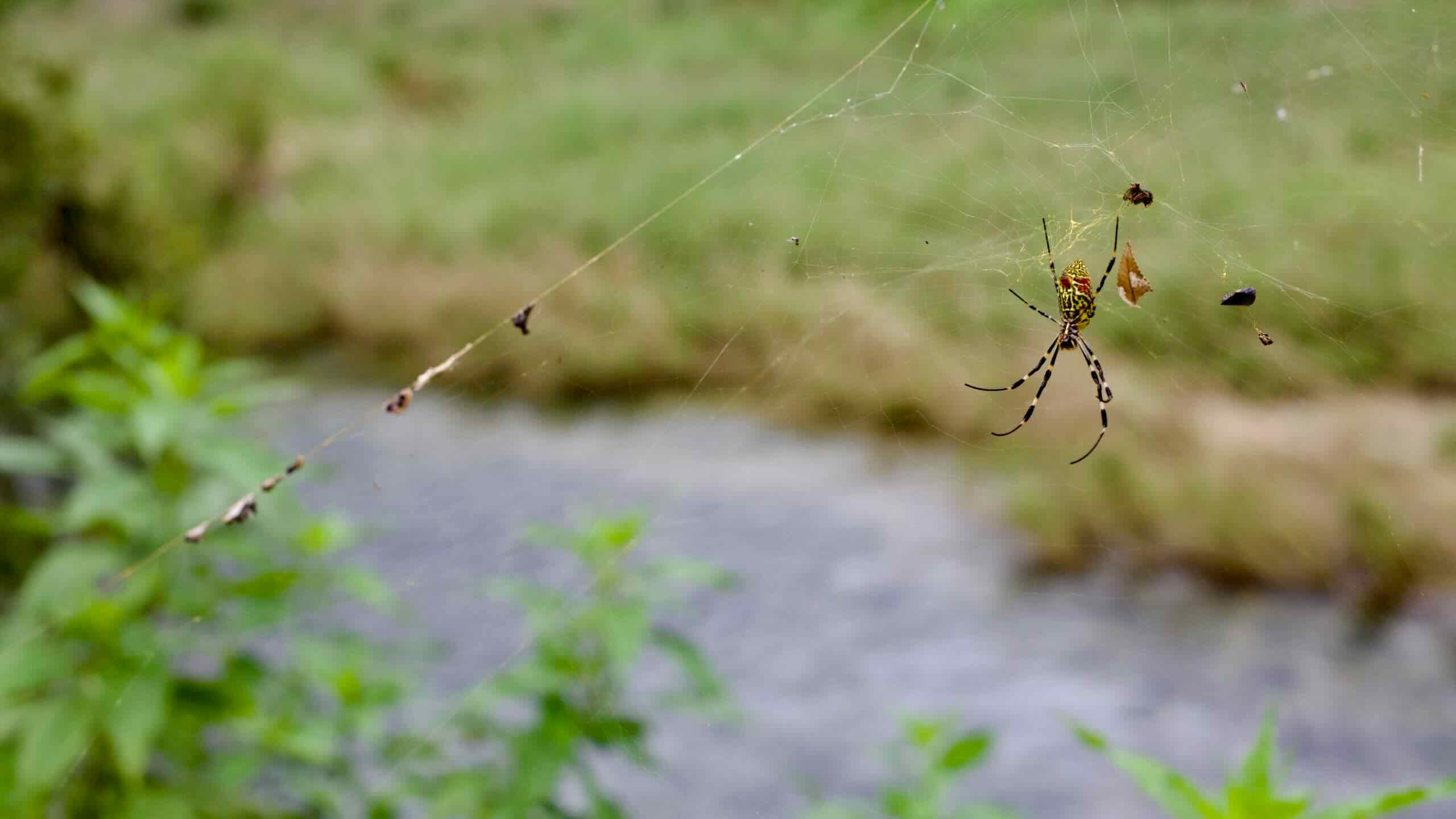
While light on major landmarks, the route offers quiet mountain vistas, historic shrines, bird-filled wetlands, and a gentle procession of murmuring waterways.
Learn about North Chungcheong Province’s mountainous Five Streams.
Bike Path Overview
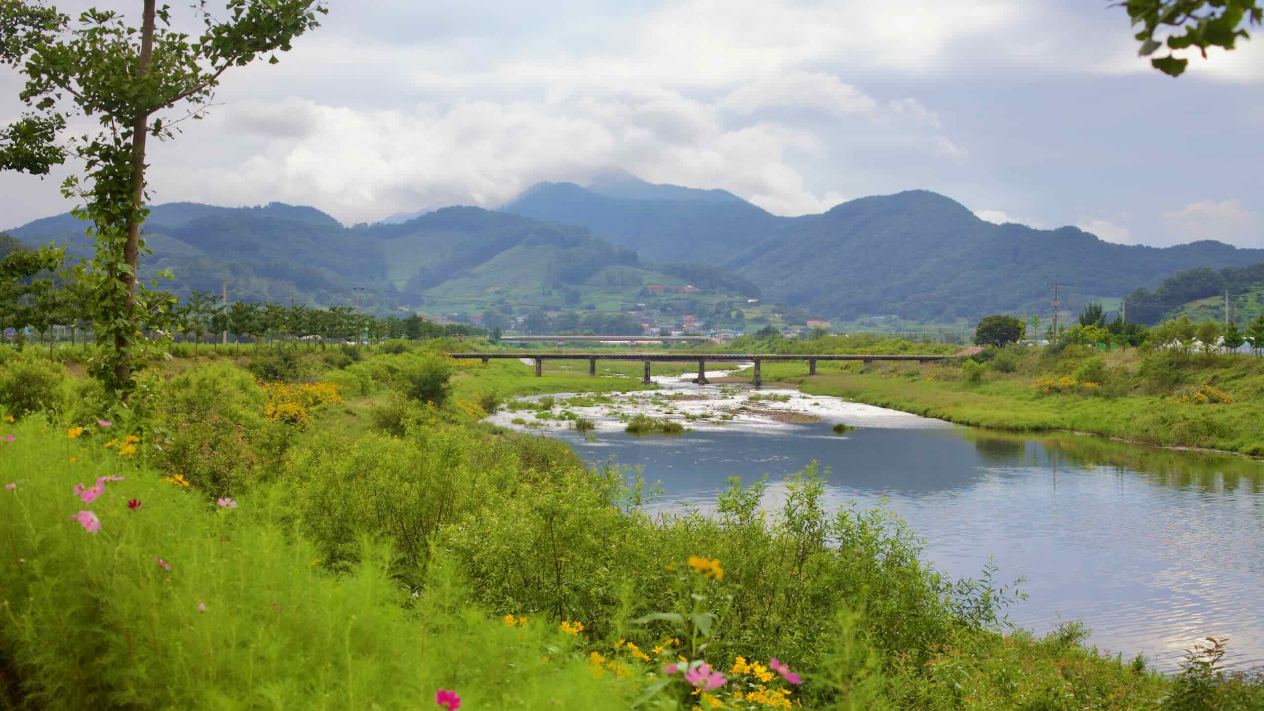
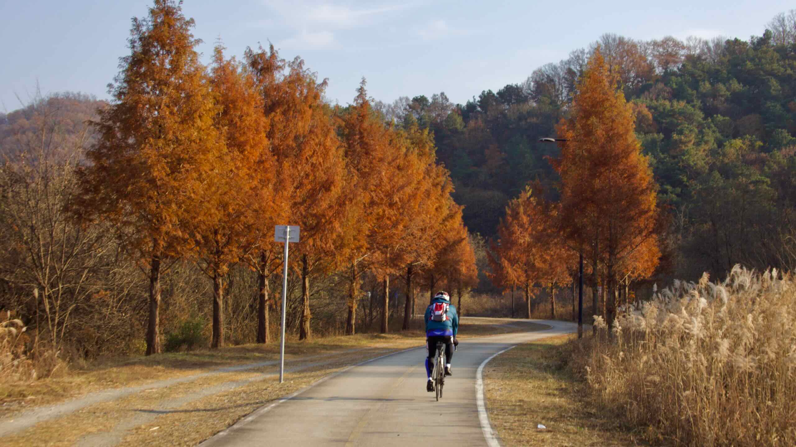
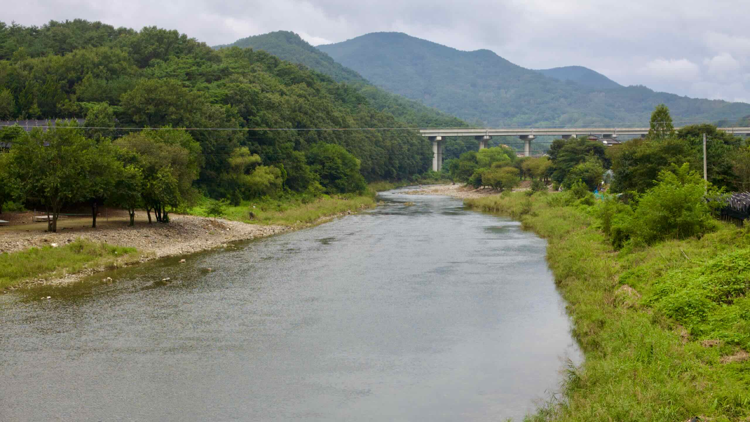
The Ocheon Bike Path cuts across North Chungcheong Province, linking Korea’s mountainous interior to the Geum River basin. As one of the most rural certification routes, it winds through quiet farmland, wetland parks, and foothill towns, tracing five distinct streams from their upland sources to their final confluence.
“Ocheon” means “Five Streams” in Korean—oh (오) for five, and cheon (천) for stream. The bike path follows this chain of waterways from the Sobaek Mountains to the Geum River, each one shaping the land it passes through:
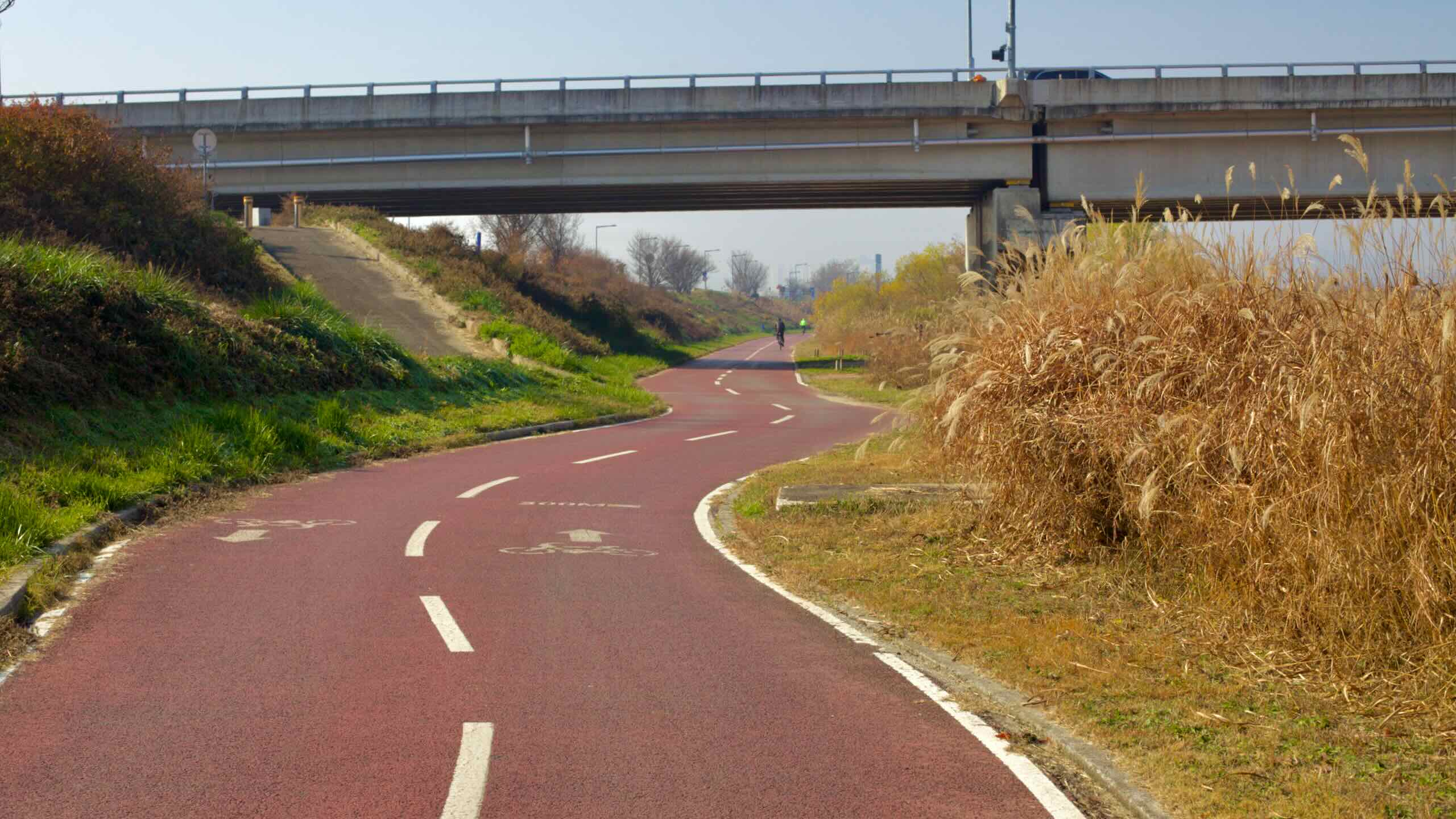
The Ocheon Bike Path forms a 99.5-kilometer route between the Haengchon Crossroads Certification Center in Yeonpung Village and Hapgang Park in Sejong City. It connects Korea’s mountainous spine to its second capital by tracing five historic and ecologically important streams.
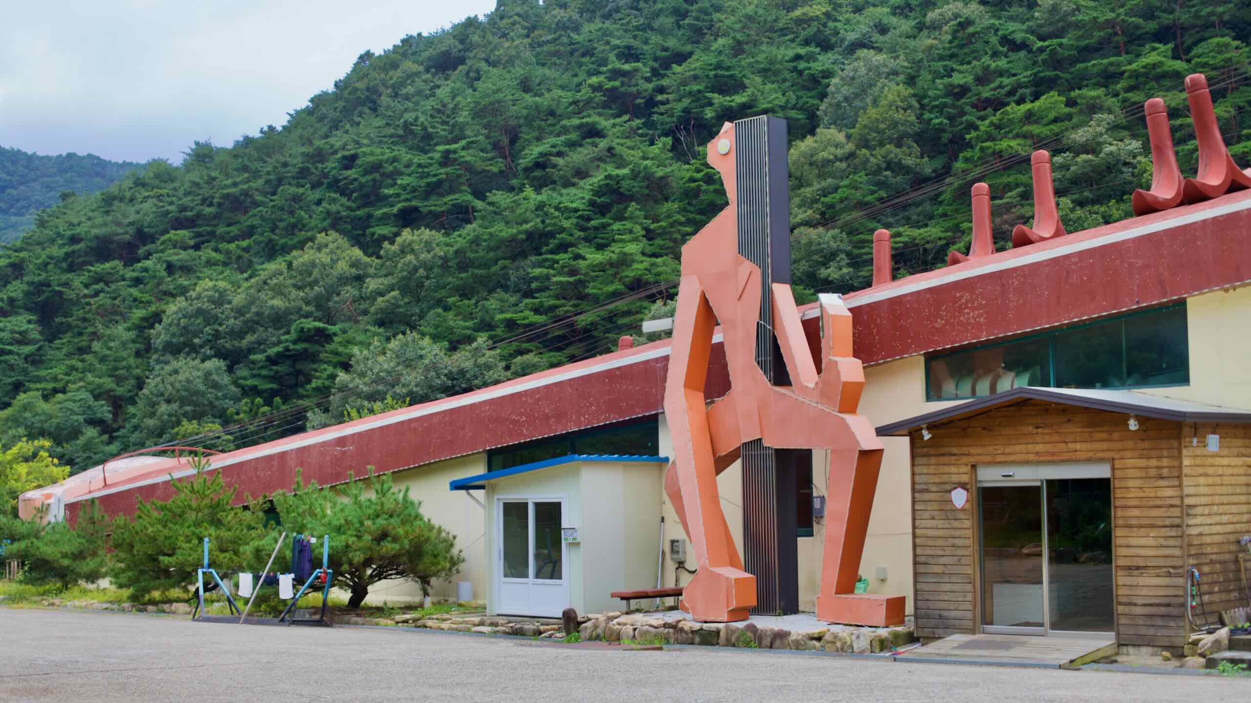
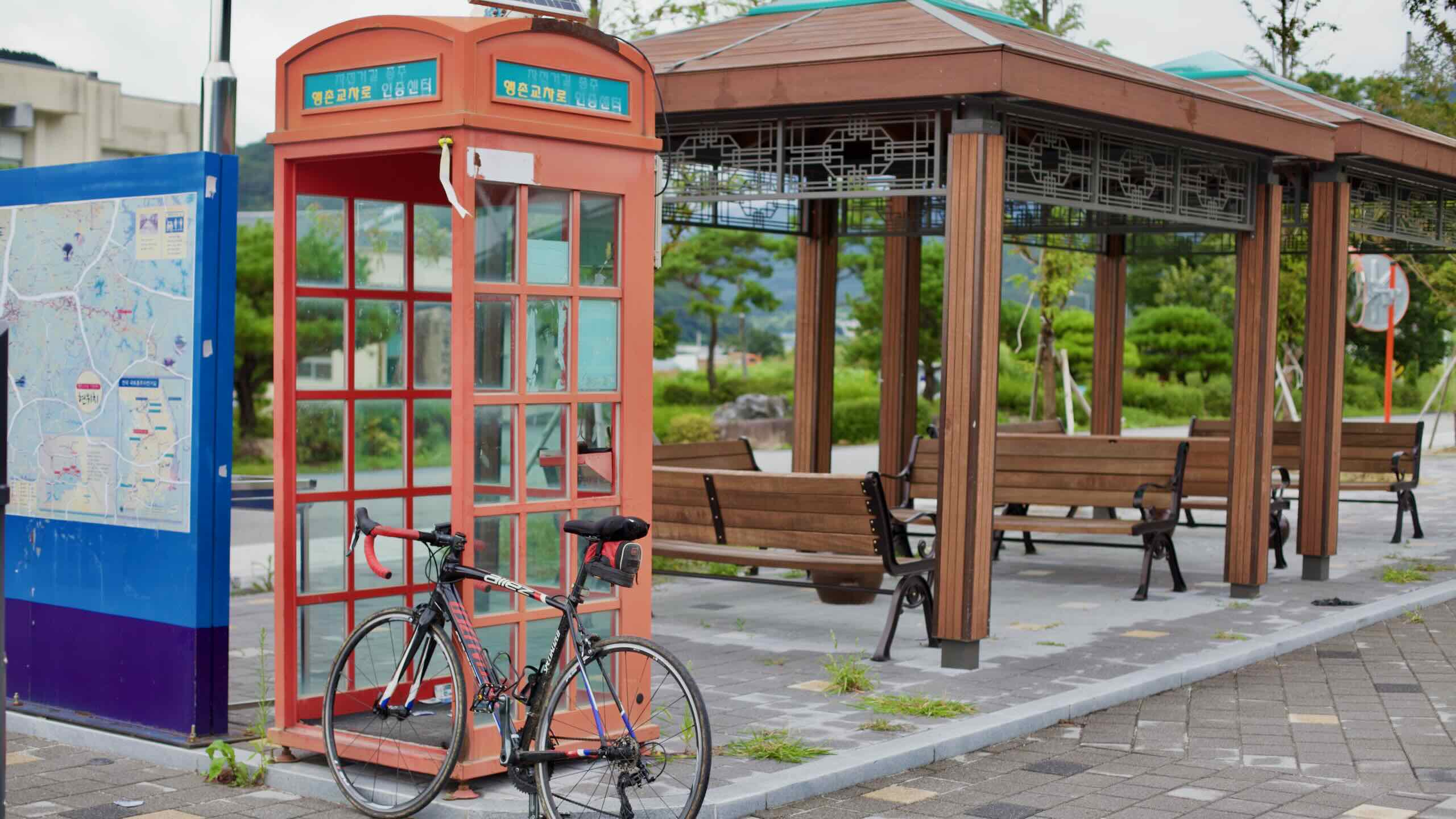
Start at Haengchon Crossroads in Yeonpung, a small village nestled between mountain passes on the Saejae Bike Path. Ride along Seonghwang Stream, passing Chilchung Temple and the rural heart of Goesan County. The path then transitions to the Dal Stream, skimming alongside rice paddies, forested hills, and cultural landmarks like Goegang Bridge and Goesan Traditional Market.
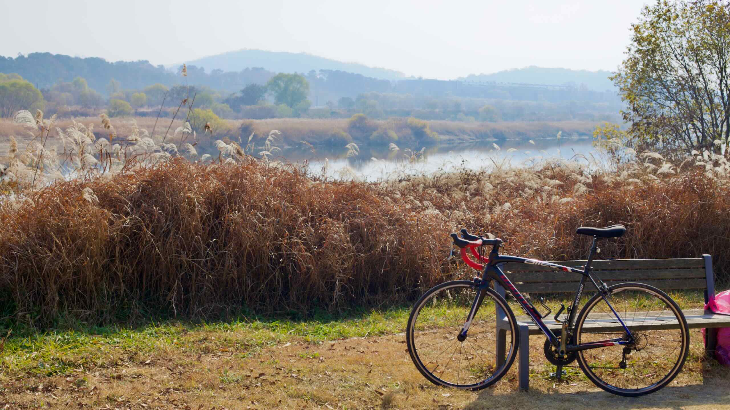
Continue downstream into Jeungpyeong County, where the trail traces Bogang Stream past Baekro Park and the Cottonwood Forest. Along this stretch, the landscape flattens and widens, with smooth paths winding through wetlands, zinnia fields, and shaded groves. A stamp booth at Baekro Park marks the midpoint of the Ocheon Bike Path.
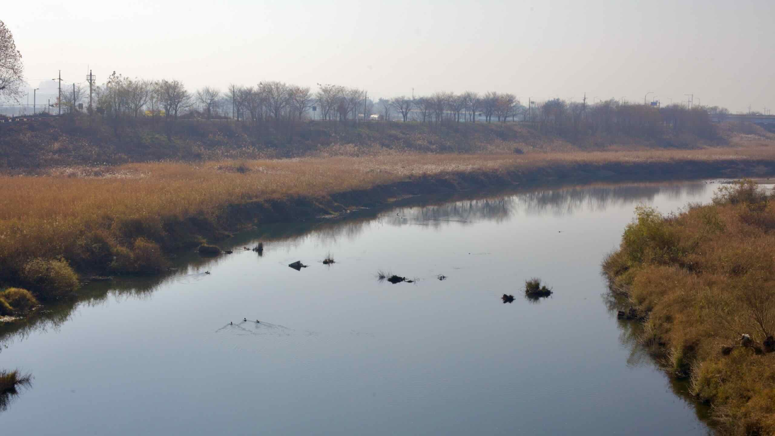
Exit Jeungpyeong and follow Bogang Stream into Cheongju City. The path merges with Miho Stream—Ocheon’s largest waterway—offering wider vistas and broader plains. Pass the Jeongbukdong Toseong Fortress, a preserved earthen rampart dating back to the 3rd century, and cruise into Munam Ecological Park, built on a rehabilitated landfill.
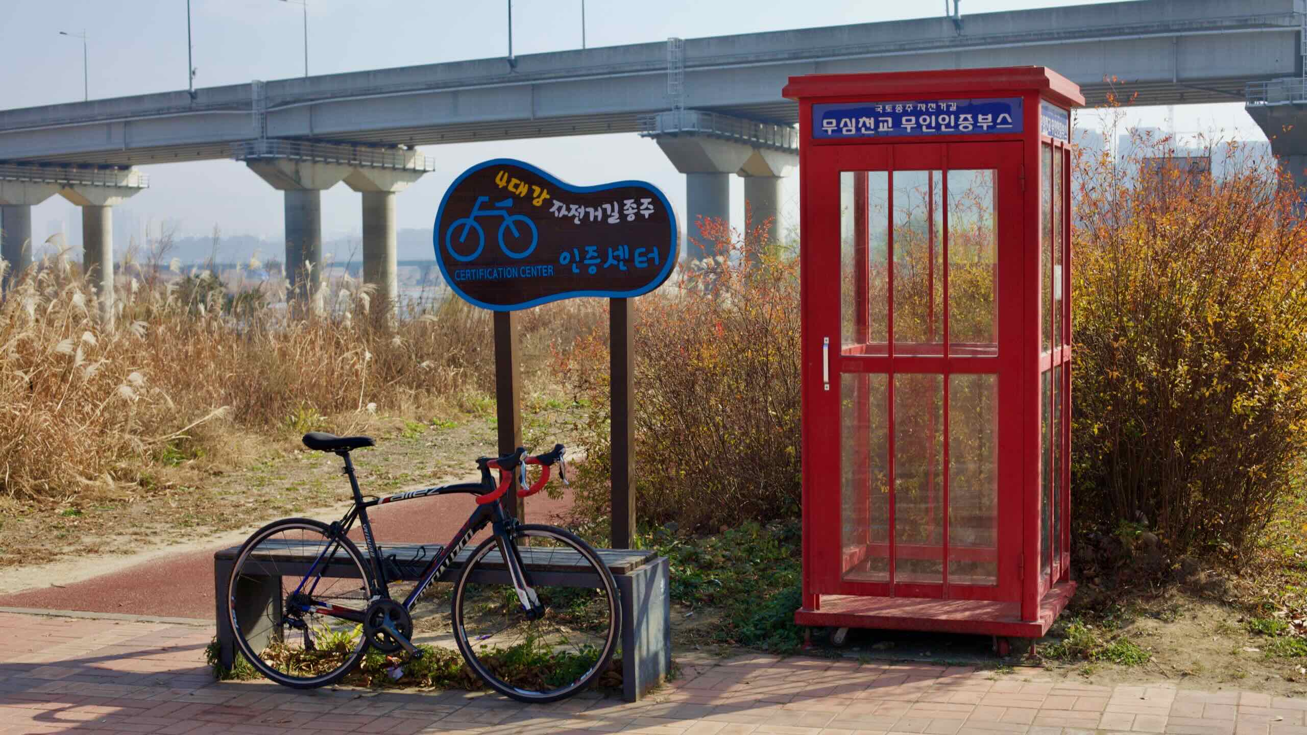
From here, ride through streamside parks and past towering apartment blocks into Sejong City. Highlights include Jocheon Lotus Park, cable-stayed bridges like the Miho Grand Bridge, and traditional markets in Jochiwon Town. The path ends at Hapgang Park where the Miho Stream meets the Geum River. A final certification booth stands near this confluence, completing the journey.
The Ocheon Bicycle Path crosses one province, one metropolitan city, two counties, and one city along its run. Check out these short profiles of each.
North Chungcheong Province (충청북도; map) is Korea’s only landlocked province. Before tunnel boring machines and airplanes, the Sobaek Mountain Range, cutting across its midsection, formed separated warring kingdoms. Find old forts and battle sites among the province’s peaks and national parks.
Jeungpyeong County (증평군; map), Korea’s second smallest district, carved its 82 square kilometers away from Goesan County in 2003. With a variety of industries, from solar panels to ginseng, the county also holds a recreational forest with Korea’s largest refracting telescope.
Cheongju City (청주시; map) is the capital of North Chungcheong Province, assuming Chungju’s old duties in 1908. On the Geum River, the city gained economic traction when the first transnational railroad and expressway flow through its borders. Cheongju boasts historic forts and a growing population.
Sejong City (세종특별자치시; map), named after Korea’s most important ruler, is the nation’s second capital. Why? Like London and Paris, some Koreans thought Seoul wielded too much influence. (And, it sits in North Korea’s artillery range.) So the government founded Sejong in 2012 by seizing a South Chungcheong Province county, erecting giant government complexes, and moving dozens of national ministries within its borders.
The Ocheon Bike Path begins at the Haengchon Crossroads Certification Center in Yeonpung Town, tucked between the Sojo and Ihwa Passes on the Saejae Bike Path. It starts at around 235 meters above sea level and descends gradually westward to Hapgang Park in Sejong City, which rests at just 20 meters above sea level.
Cycling east to west offers a mostly downhill ride with a total descent of about 215 meters across 100 kilometers. Going west to east, however, reverses the grade, adding a gentle climb over the course of the route.
West to East — 161-meter climb over 4.9 kilometers (3.29% average gradient; directions)
East to West — 111-meter climb over 13.7 kilometers (0.81% average gradient; directions)
Despite its location between two of Korea’s toughest mountain passes, the Ocheon Bike Path avoids steep ascents, making it one of the more forgiving certification routes.
While not part of the Ocheon Bike Path itself, Sojo Pass (380 m) and Ihwa Pass (539 m) rise on either side of Yeonpung Village, the bike path’s eastern trailhead.
These two major climbs sit on the Saejae Bike Path and form a barrier to entry on the Ocheon Bike Path. Reaching the Ocheon’s start point from the east or southeast requires ascending at least one of these passes, adding a strenuous approach to an otherwise mild cycling course.
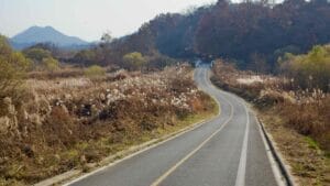
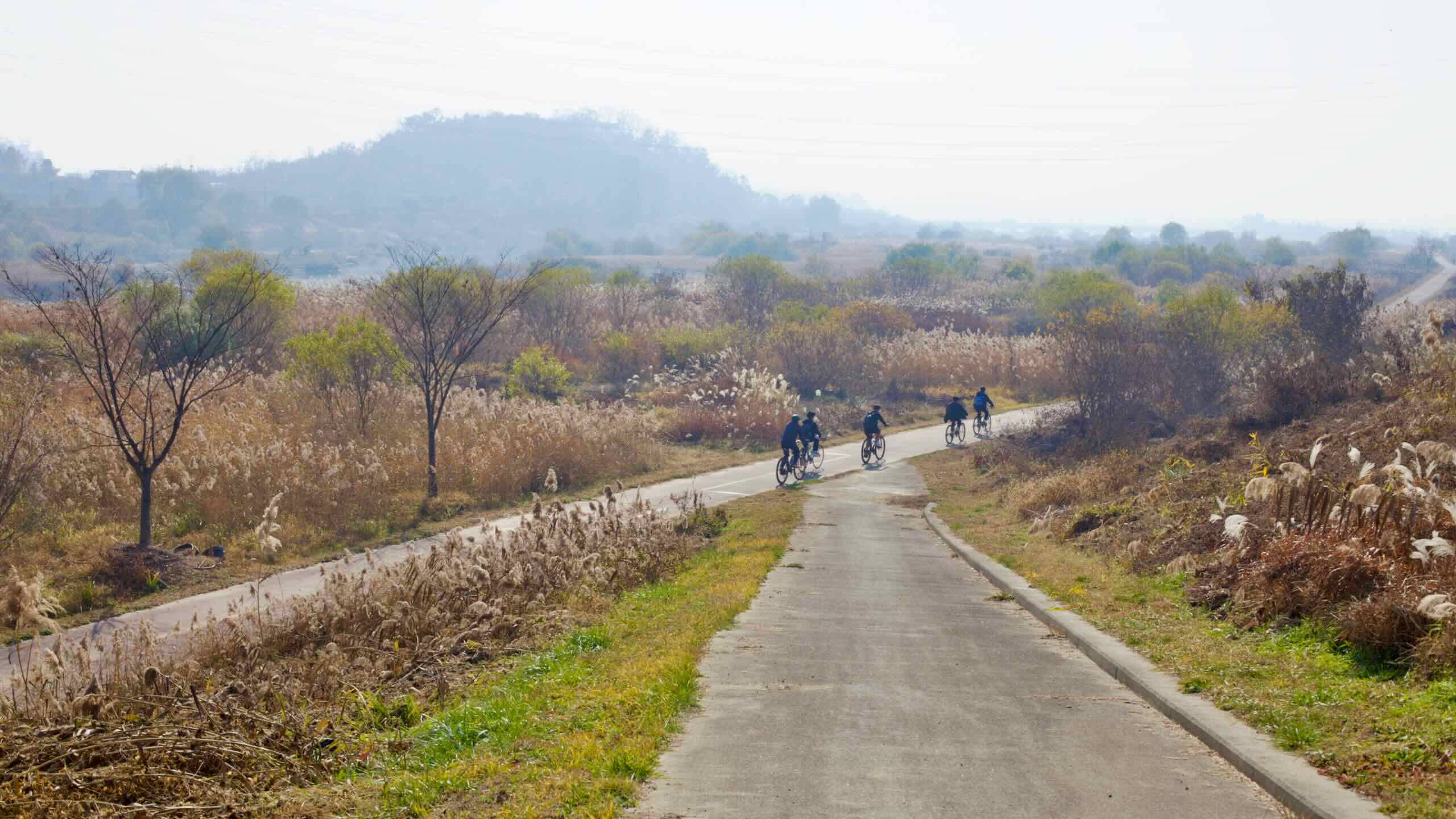
The Ocheon Bike Path winds through foothills, farming villages, and riverside towns in North Chungcheong Province. Unlike the heavily protected lanes of the Cross-Country Route, the Ocheon path blends designated bike paths with country roads and farmer access lanes.
Some sections on the eastern end of the Ocheon Bike Path use quiet, two-lane country roads. In Goesan County, the route follows paved roads through mountain valleys, skirting farms and tiny villages like Taeseong and Chilseong. West of Goesan Town, it rides a winding country road up and over Bogwang Mountain Pass before descending into the Jeungpyeong Plain.
Farmer Roads & Shared Paths
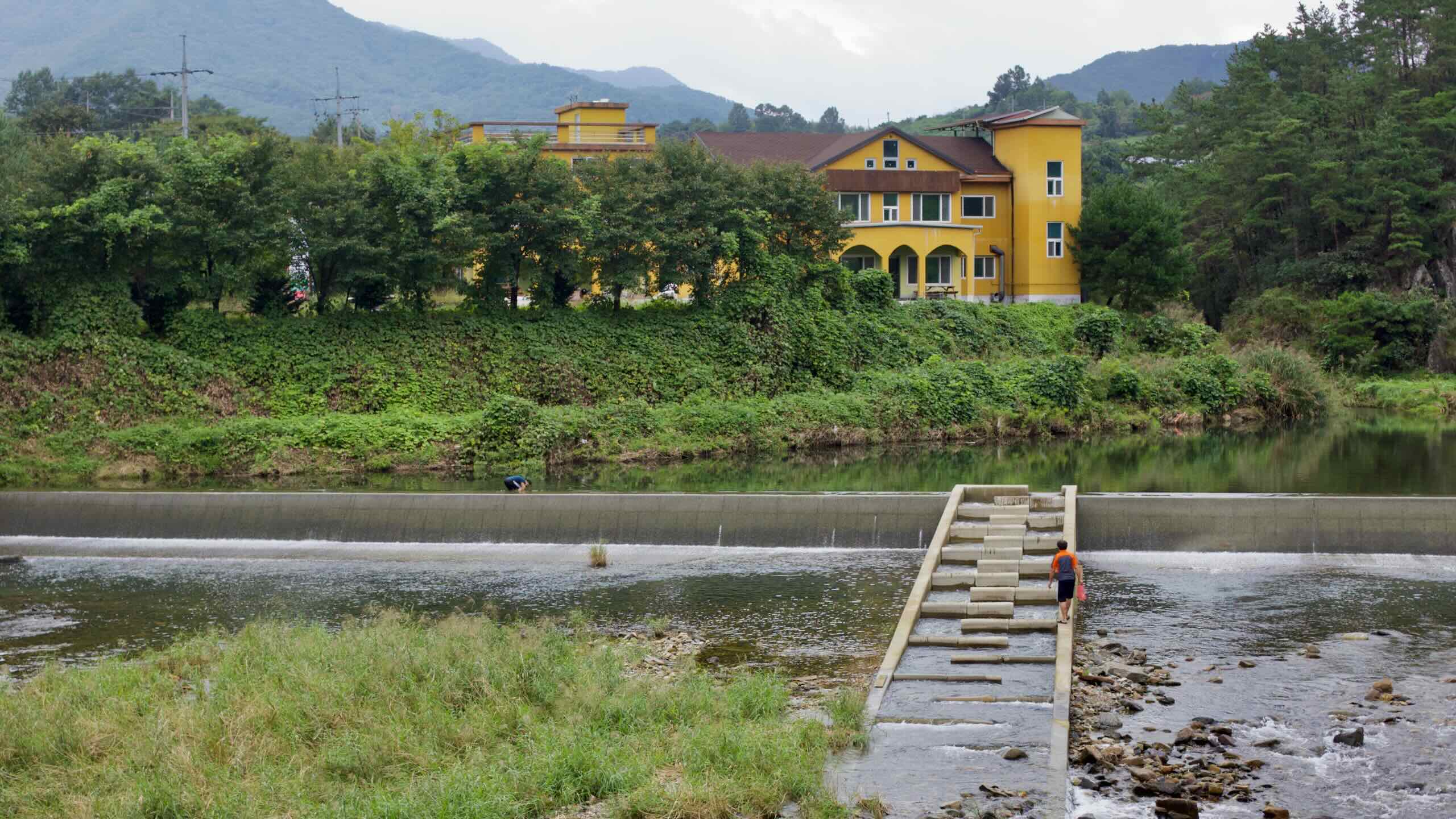
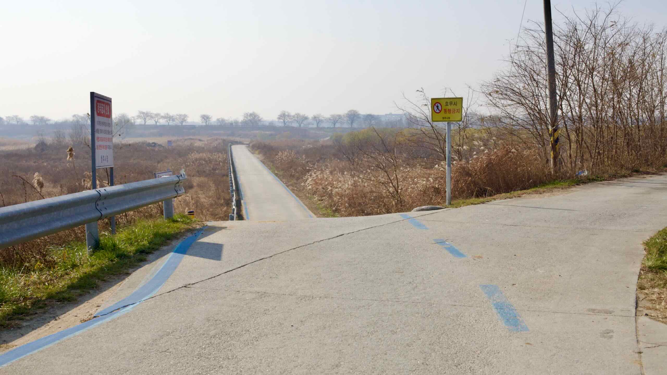
Throughout Jeungpyeong and Cheongju, long sections of the Ocheon route follow blue-lined bike lanes that double as access roads for farmers. These roads hug the banks of Bogang and Miho Streams, threading between rice paddies, greenhouses, and wetland parks.
Expect to share the road with tractors, parked cars, and the occasional fishing tent beside the stream.
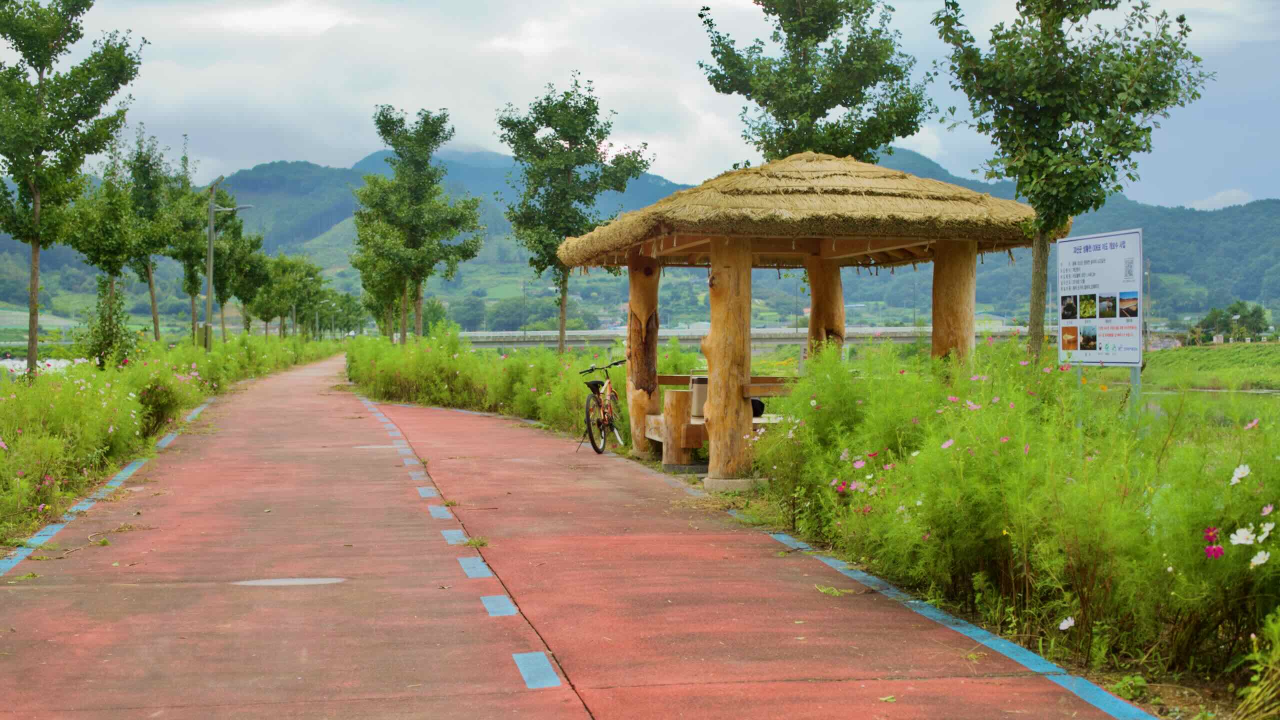
Designated bike lanes appear in more urban sections, especially near Jeungpyeong and Cheongju. These streamside paths are often separated from traffic, running parallel to the water through parks, under bridges, and along flood embankments.
Examples include the section around Baekro Park in Jeungpyeong and Munam Ecological Park in Cheongju. These offer smooth pavement, rest stops, and shaded seating areas.
The Ocheon Bicycle Path is one of Korea’s most rural certification paths, weaving through central regions along five picturesque streams: Ssangcheon, Dalcheon, Seonghwangcheon, Bogangcheon, and Miho Stream.
The route connects Songnisan’s mountain peaks with the Geum River, offering a more rugged, winding terrain compared to river paths like the Hangang or Nakdonggang.
Let’s explore the most notable highlights along the Ocheon Bicycle Path.
A red wooden gate leads into Goesan Confucian Academy’s courtyard.
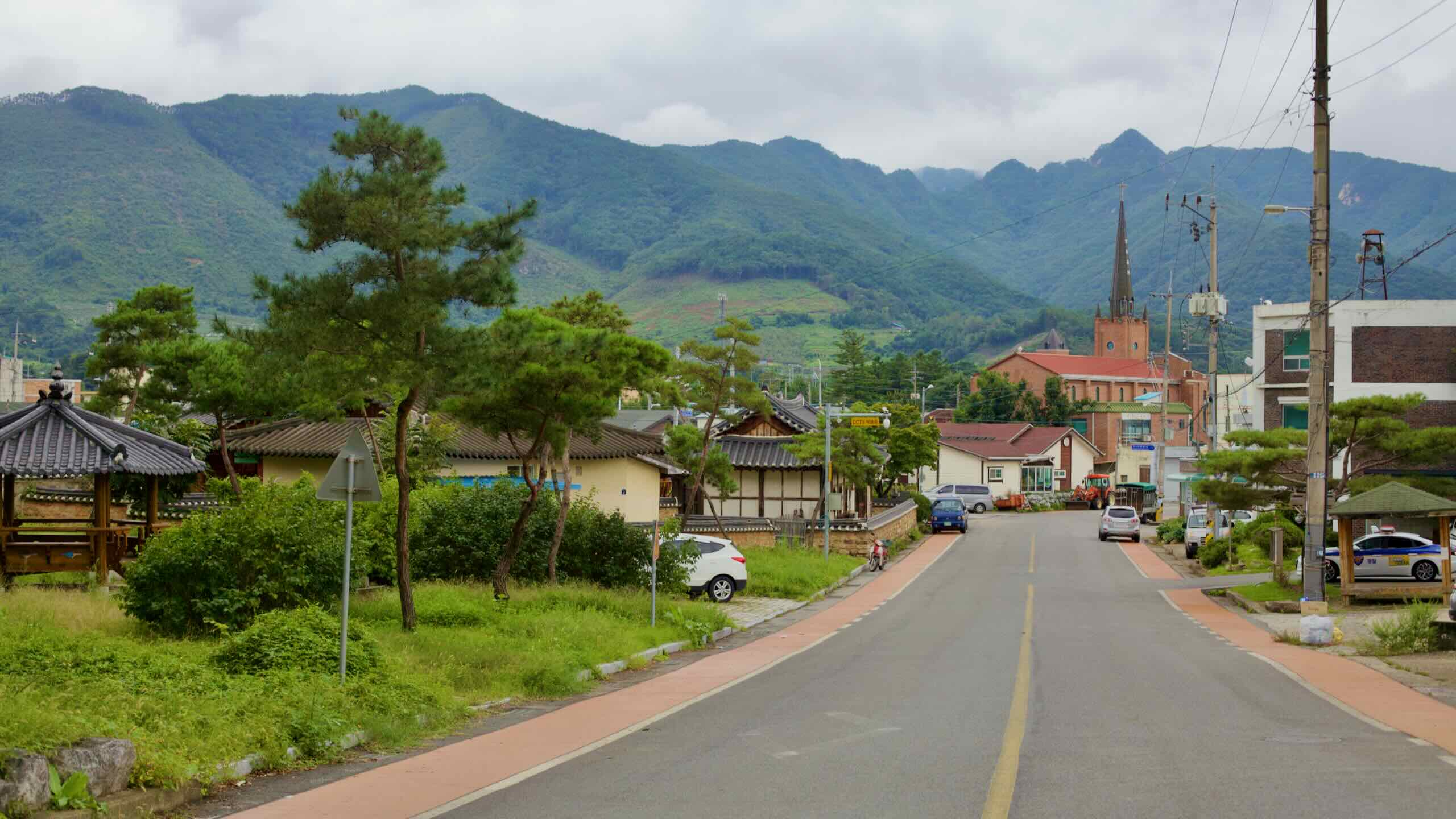
Goesan County, seated in North Chungcheong Province’s mountainous east, is known for its rich heritage and natural beauty. Holding just 38,093 residents in its 842 square-kilometer area, this rural area serves as a gateway to various historical sites and natural attractions.
Designated as Historic Site No. 415 in 1999, it is one of Korea’s best-preserved earthen fortresses and provides insights into early Korean construction techniques.
The Ocheon Bike Path (오천 자전거길) derives its name from the five streams it follows across North Chungcheong Province. Each stream contributes to the route’s unique geography and ecology, offering a quiet alternative to Korea’s larger river trails.
Ssang Stream (쌍천) — A quiet mountain stream that winds through forested valleys in Yeonpung before joining the Dal Stream.
Dal Stream (달천) — One of the route’s main waterways. It begins in Songnisan National Park and flows through Goesan to the South Han River.
Seonghwang Stream (성황천) — A tributary of the Dal Stream, historically significant for local communities and agriculture.
Bogang Stream (보강천) — A tranquil stream lined with cottonwoods and parks near Jeungpyeong.
Miho Stream (미호천) — The largest and final stream. It passes through Cheongju and Sejong before flowing into the Geum River.
These streams connect the ridgelines of the Sobaek Mountains with the expansive wetlands near the Geum River, offering a changing landscape of forests, farmland, and urban parks.
How do you—and your bike—get to the Ocheon Bicycle Path? It’s trickier than most.
The western end is simple: Sejong City offers easy access via express buses and the Gyeongbu rail line. But reaching the eastern trailhead in Yeonpung Town? That’s another story. The village sits between two mountain passes and lacks regular bus service. From nearby towns, you’ll face either a steep climb or a long ride to reach the start line.
Though requiring reservations, trains can offer an alternative way to get you and your bike to Korea's bike paths.
Intercity Bus
Intercity bus terminals provide the most flexible way to hop on or off the Ocheon Bike Path. While downtown Sejong and Goesan each offer bus terminals close to the route, Yeonpung Village—the official starting point—has no confirmed service. The nearest terminals require a tough ride over mountain passes or a 27-kilometer detour from Goesan.
The Gyeongbu Line (경부선; map),, which connects Seoul (map) and Busan (map), crosses the western section of the Ocheon route near Jochiwon. If you’re aiming for the Sejong side, train access is a viable option. Just note that few rail lines run near the eastern half.