Western Routes bicycle path logo.

Western Routes

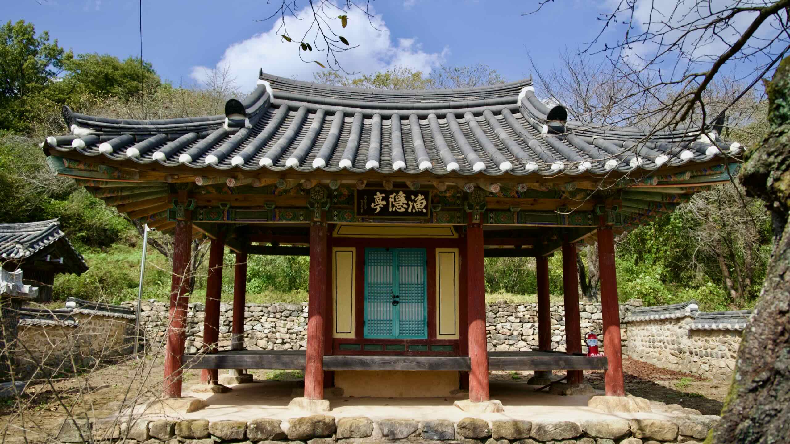
Discover historic sites and quiet towns along Korea’s western mountains, plains, and waterways.

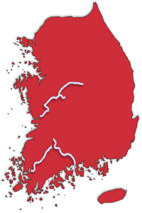
Four bike paths in Korea’s western regions create the Western Routes. They follow three rivers (Geum, Yeongsan, Seomjin) and five mountain streams (Ocheon). Each explores unique topographies and local cultures.

The Stats

Western Routes Bicycle Map
← 105 km | 6 hours→
An elevation graph of the Ocheon Bike Path.
Link button to Kakao Maps directions.
Directions
Link button to Kakao Maps Highlights.
Highlights
← 146 km | 8 hours→
An elevation graph of the Geumgang Bike Path.
Link button to Kakao Maps directions.
Directions
Link button to Kakao Maps Highlights.
Highlights
← 149 km | 7.5 hours→
An elevation graph of the Seomjingang Bike Path.
Link button to Kakao Maps directions.
Directions
Link button to Kakao Maps Highlights.
Highlights
← 133 km | 7 hours→
An elevation graph of the Yeongsangang Bike Path.
Link button to Kakao Maps directions.
Directions
Link button to Kakao Maps Highlights.
Highlights
Checkpoints Logo
Stamps (26)
Bus Icon
Bus Terminals

Follow five streams through mountain valleys onto the Geum River.

Follow five streams through mountain valleys onto the Geum River.

Cycle a historic river past ancient settlements and forts to the Yellow Sea.

Cycle a historic river past ancient settlements and forts to the Yellow Sea.

Sail the Yeongsan River through flat, foodie provinces to the southwest tip of Korea.

Sail the Yeongsan River through flat, foodie provinces to the southwest tip of Korea.

Ride the Seomjin River along railroads and cherry blossoms to the bottom of Korea.

Ride the Seomjin River along railroads and cherry blossoms to the bottom of Korea.

Overview

The Western Routes feature four bike paths. None of them connect end-to-end. But they share similar features:

  • The cycling paths explore smaller cities, towns, and quiet countrysides.
  • They cross only a handful of challenging hills along their tame waterways.
  • Each bike path will take one or two days to complete.

Let’s look closer at them.

Ocheon Bicycle Path

The Ocheon Bicycle Path (오천 자전거길; 105 km) follows five streams from the Sobaek Mountain Range in the middle of the country to the Geum River.

The Ocheon Bike Path intersects with the Saejae Bicycle Path in the east, and the Geumgang Bike Path in the west. However, it doesn’t connect with either of their start or finish lines.

The cycling features a few people-made sights: a Catholic holy site (map), a repurposed bridge (map), and a huge traditional market (map). However, placid streams, humming green hillsides, and towering peaks form most of the bike path’s highlights.

Read More

Below, find the resources to help you complete the Ocheon Bike Path.

Geumgang Bicycle Path

The Geumgang Bicycle Path (금강 자전거길; 146 km) begins at Daecheong Lake (map) in Daejeon Metropolitan City (map). It follows the Geum River (map) until it empties into the Yellow Sea (map).

The cycling route travels through territory once owned by the Kingdom of Baekje (18 BCE ~ 660 CE), one of Korea’s three founding kingdoms. When the northern Goguryeo Kingdom invaded Wiryeseong, Baekje’s capital near today’s Seoul, Baekje retreated south and rebuilt on the Geum River.

As you ride, pass through Sejong Special City (map), the nation’s second capital. Then cycle across Buyeo County (map) and Gongju City (map), which hold Baekje treasures, including a 1,500-year-old fortress (map), royal tomb (map), and historic theme park (map).

The Four Rivers Restoration Project, which built a series of dams and weirs along Korea’s four major waterways, included the Geum River. The Geumgang Bike Path passes two of its weirs — Gongju (map) and Baekje (map) — and counts towards the Four Rivers Bicycle Path Certification.

Read More

Find all the resources you need to bike the Geumgang Bike Path below.

Seomjingang Bicycle Path

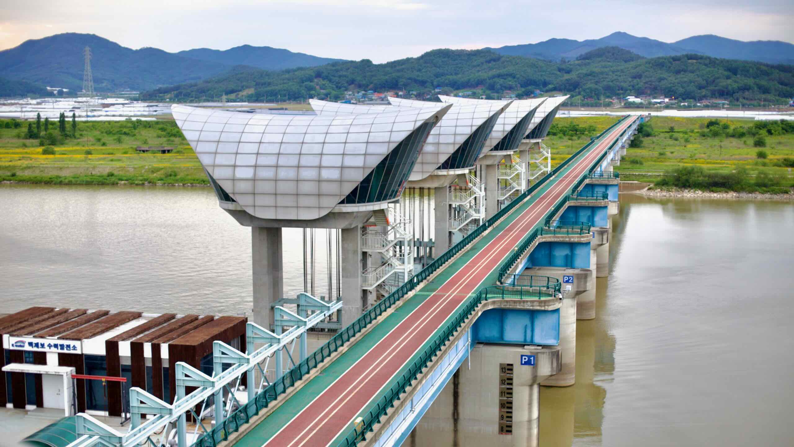
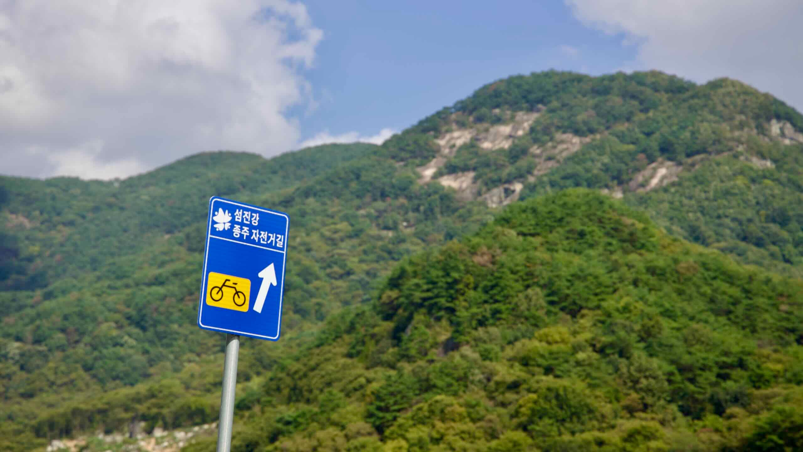
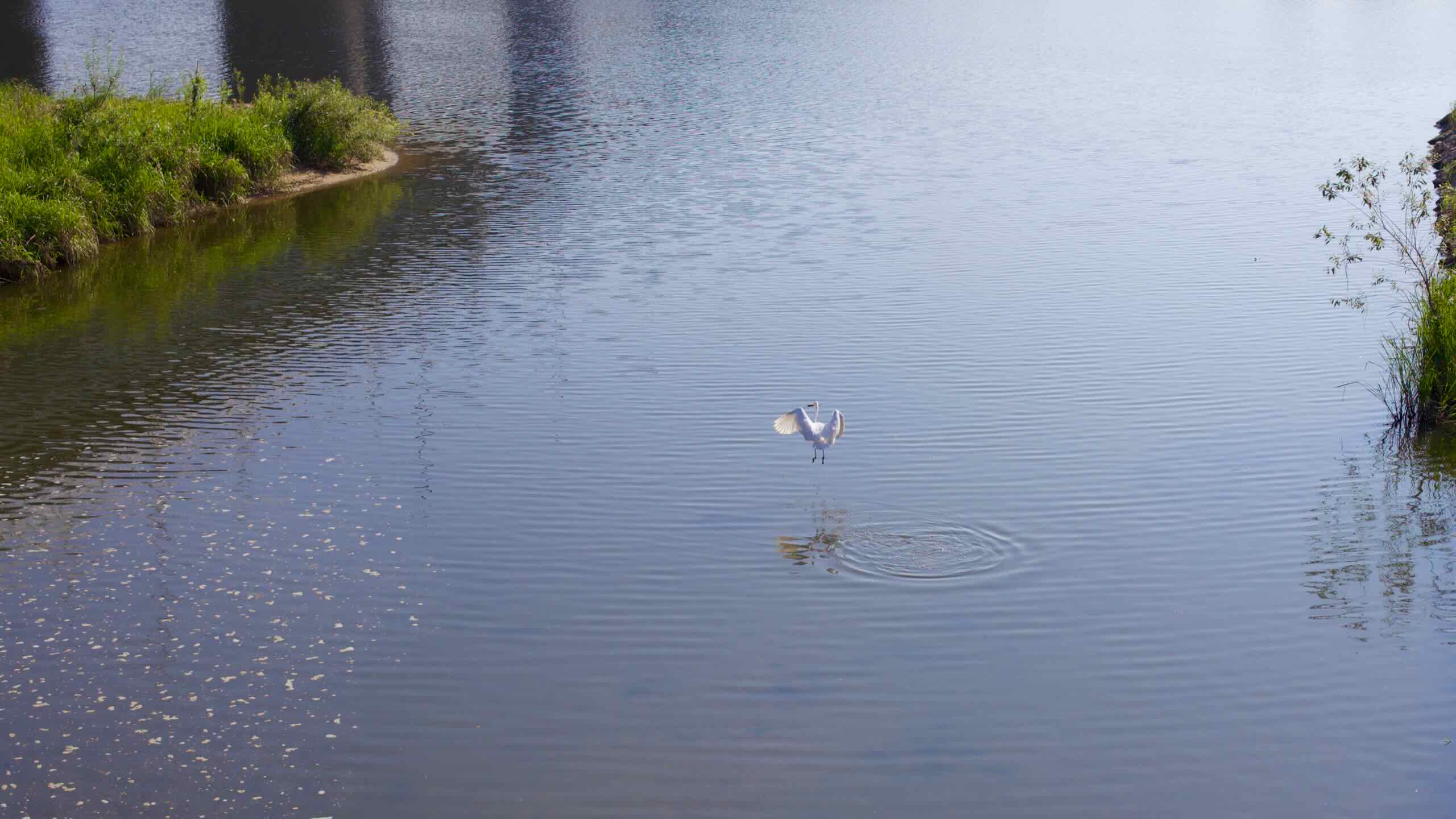
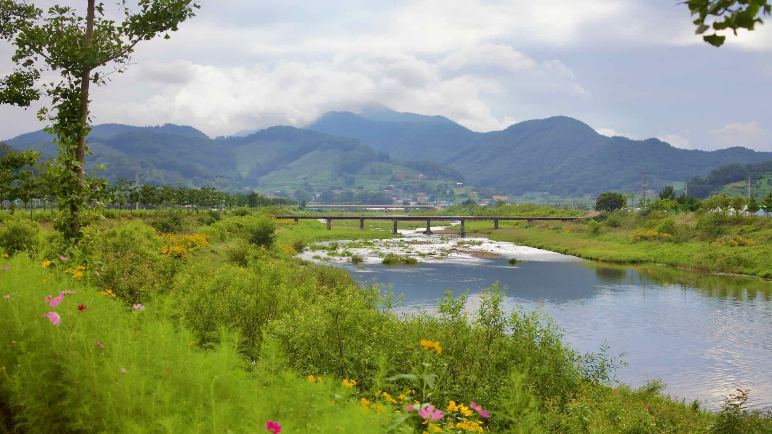
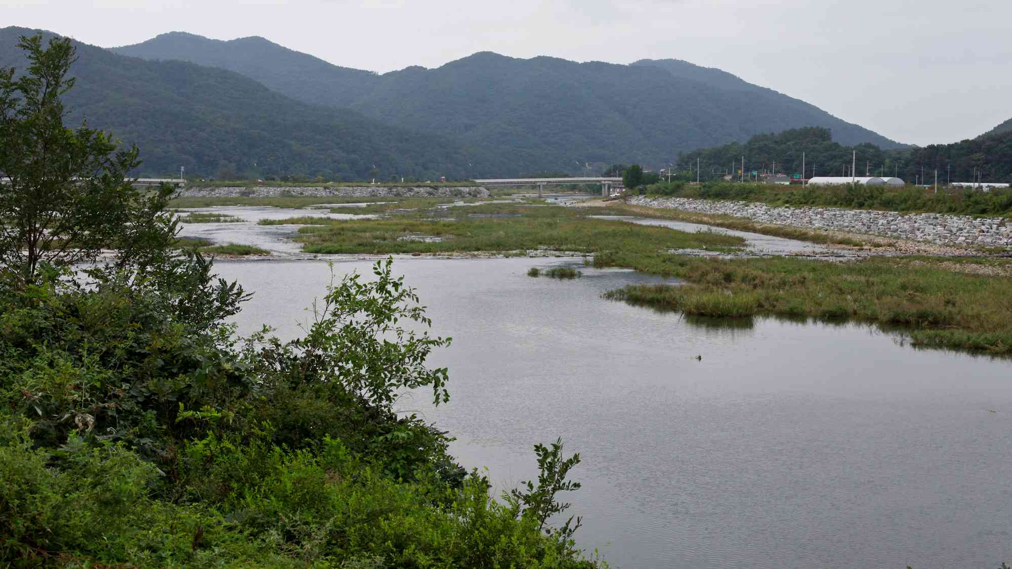
The Seomjingang Bicycle Path (섬진강 자전거길; 149 km) tracks the Seomjin River (map) — a.k.a. “Toad River” — through the South Gyeongsang Province until it meets the Korea Strait (South Sea; map) on the bottom of the peninsula.

The course travels through a more rural realm than other certification bike paths. Its highlights include a retrofitted rail tunnel (map), cherry blossom road (map), beach promenade (map), and mountaintop temple (map).

Though it’s part of the bike certification system, planners did not include the Seomjin River in the Four Rivers Restoration Project. And the Seomjingang Bike Path doesn’t count towards the Four Rivers Bicycle Path Certification.

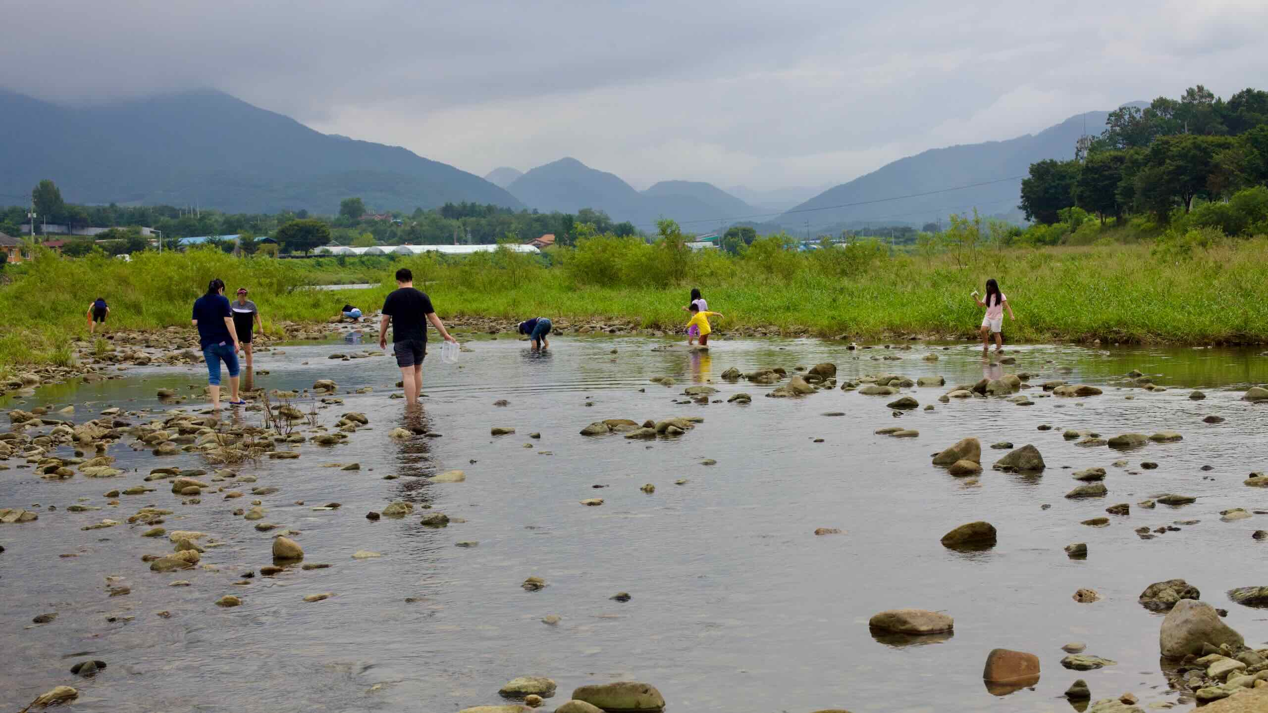
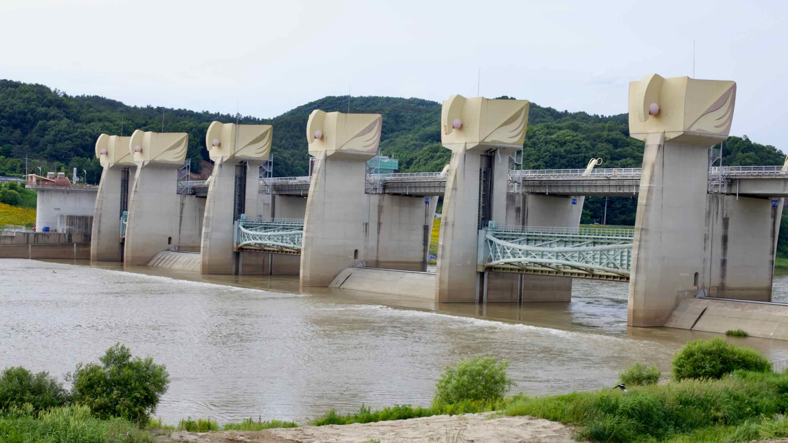
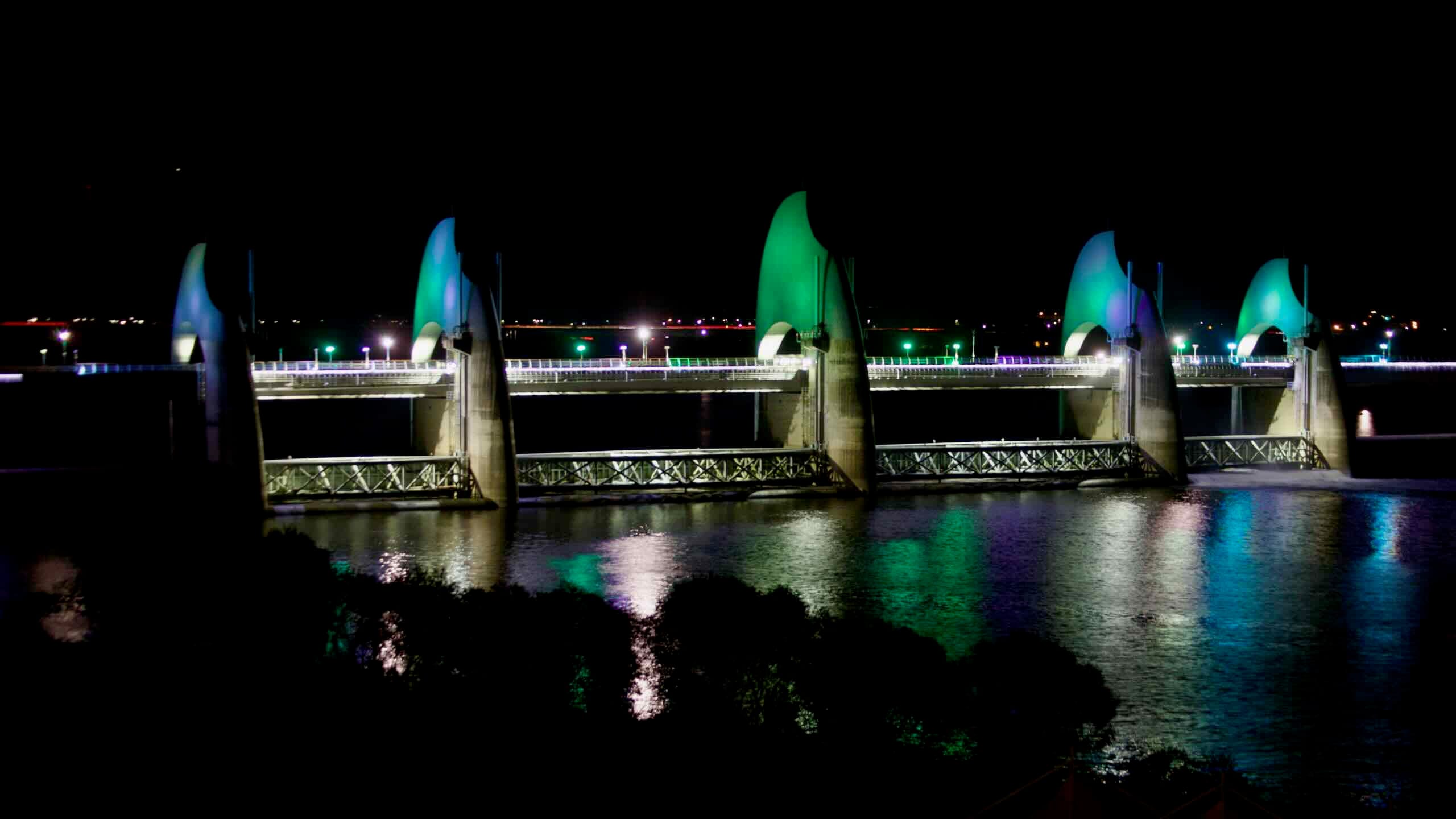
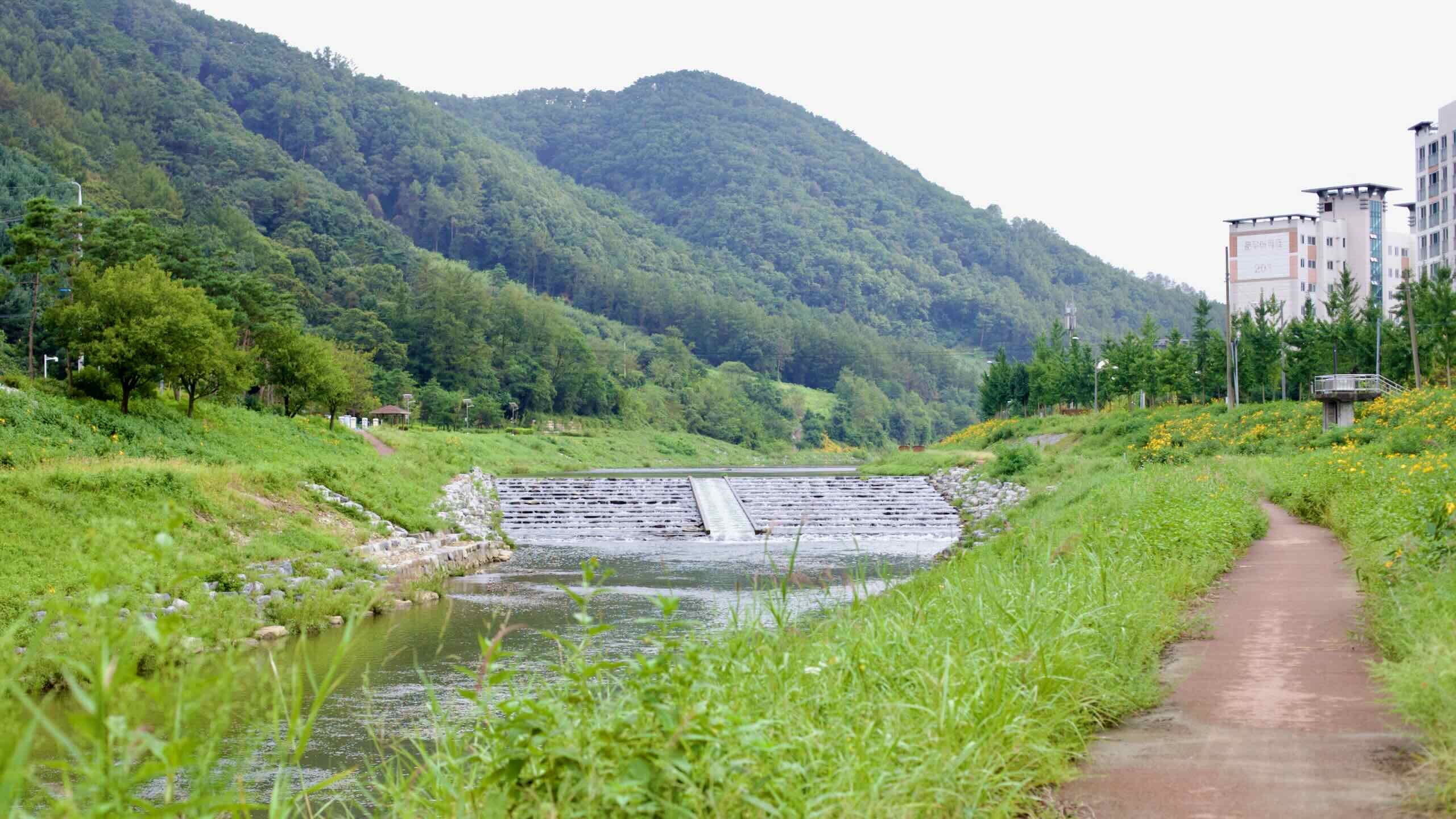
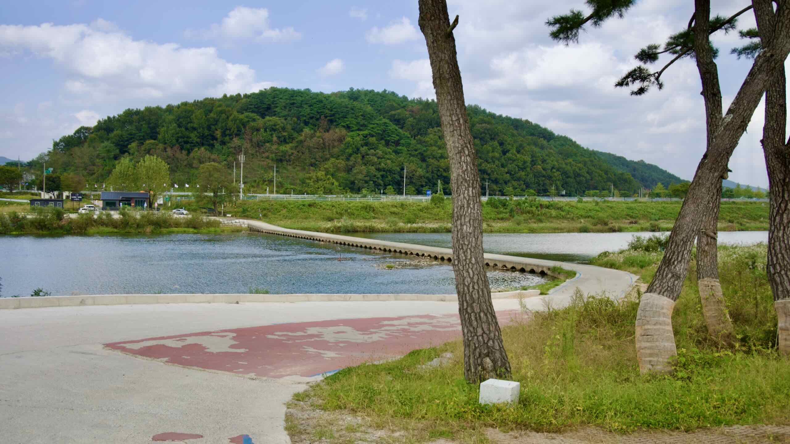
But because the waterway features only one dam and no weirs, visitors can experience what Korea’s rivers looked like hundreds of years ago. Clear waters. Sun-baked sandbars. Flocks of migratory birds.

Read More

Find useful info, tips, and ride-throughs for the Seomjingang Bike Path below.

Yeongsangang Bicycle Path

The Yeongsangang Bicycle Path (영산강 자전거길; 133 km) follows the Yeongsan River (map) through Gwangju Metropolitan City (map), North (map) and South (map) Jeolla Provinces. It ends near the Yellow Sea on the southwest corner of South Korea.

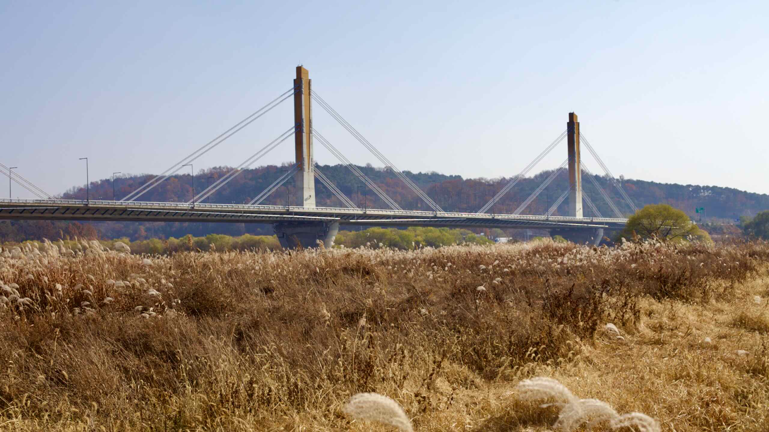
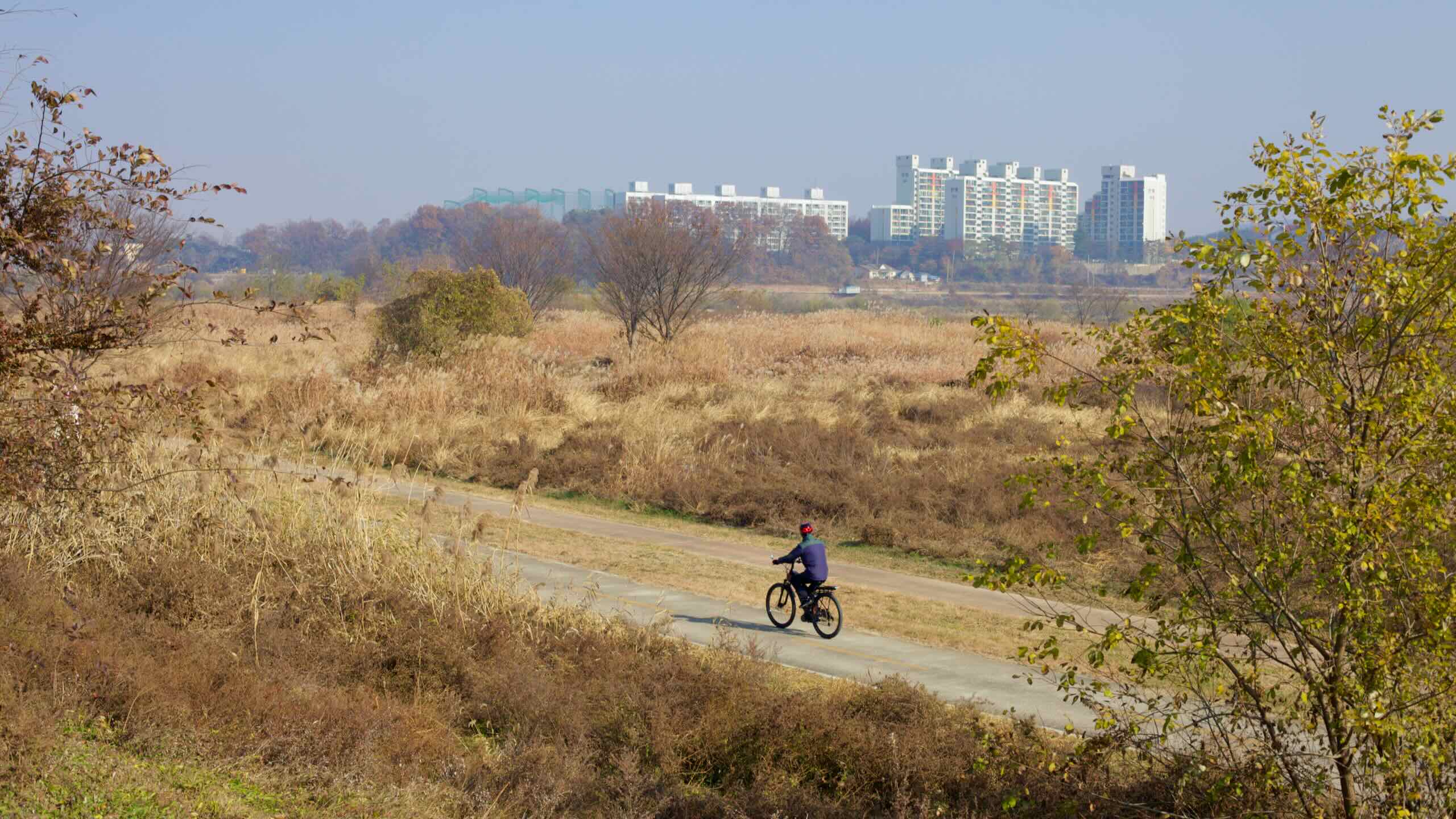
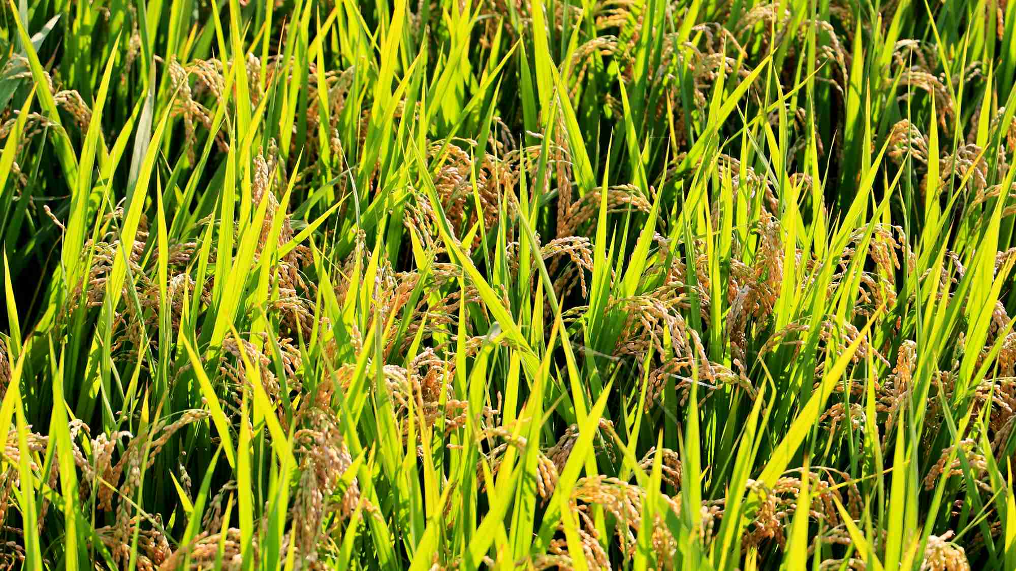
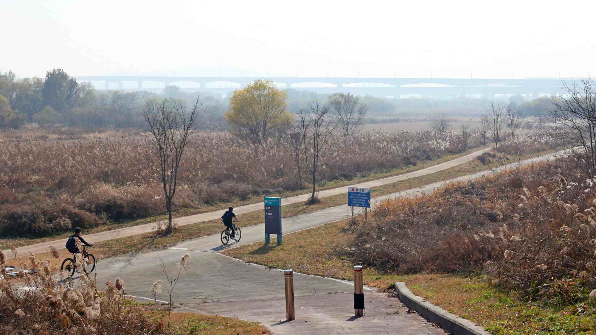
The cycling route travels the Honam Region (호남 지방), which holds the country’s largest plain. Combining abundant farm fields, a coast teeming with seafood, and a rich culinary heritage, folks from around Korea travel to the region to taste some of the nation’s most distinctive dishes.

The Yeongsangang Bicycle Path’s highlights include a metasequoia tree-lined path (map), famed bamboo forest (map), inland port and lighthouse (map), and a tower overlooking a teardrop riverbend (map).

The Four Rivers Restoration Project built the Seungchong (map) and Juksan (map) Weirs along the Yeongsan River. So the Yeongsangang Bike Path counts towards the Four Rivers Bike Path Certification.

(The Yeongsangang and Seomjingang Bike Paths don’t touch. However, only 16.3 kilometers separate them in the north [directions].)

Read More

Below, find pages with useful info about cycling the Yeongsangang Bike Path.

Bike Path Types

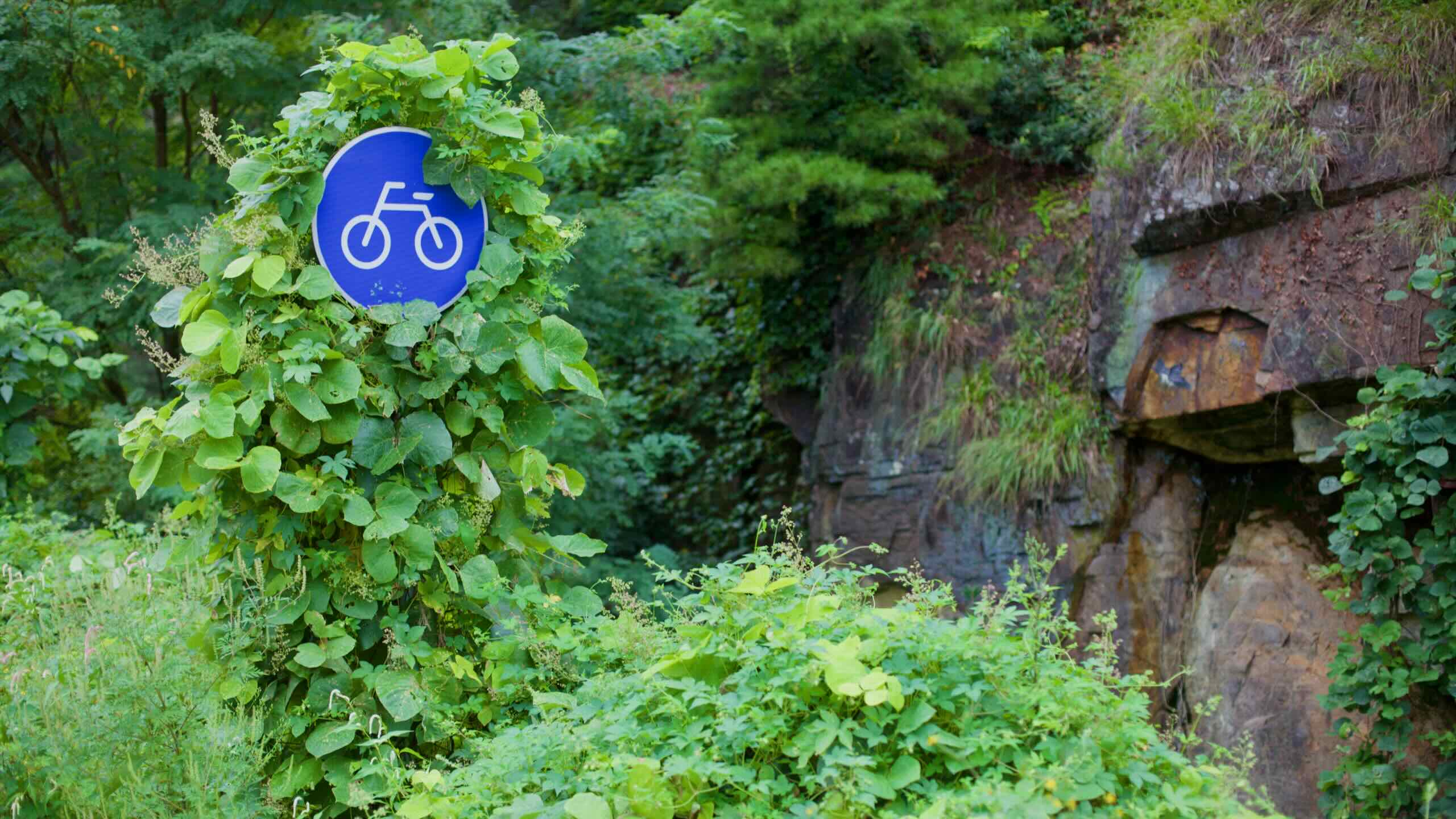
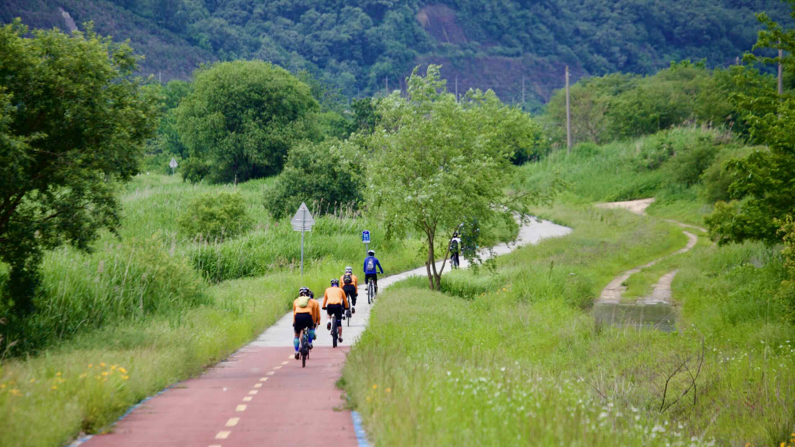
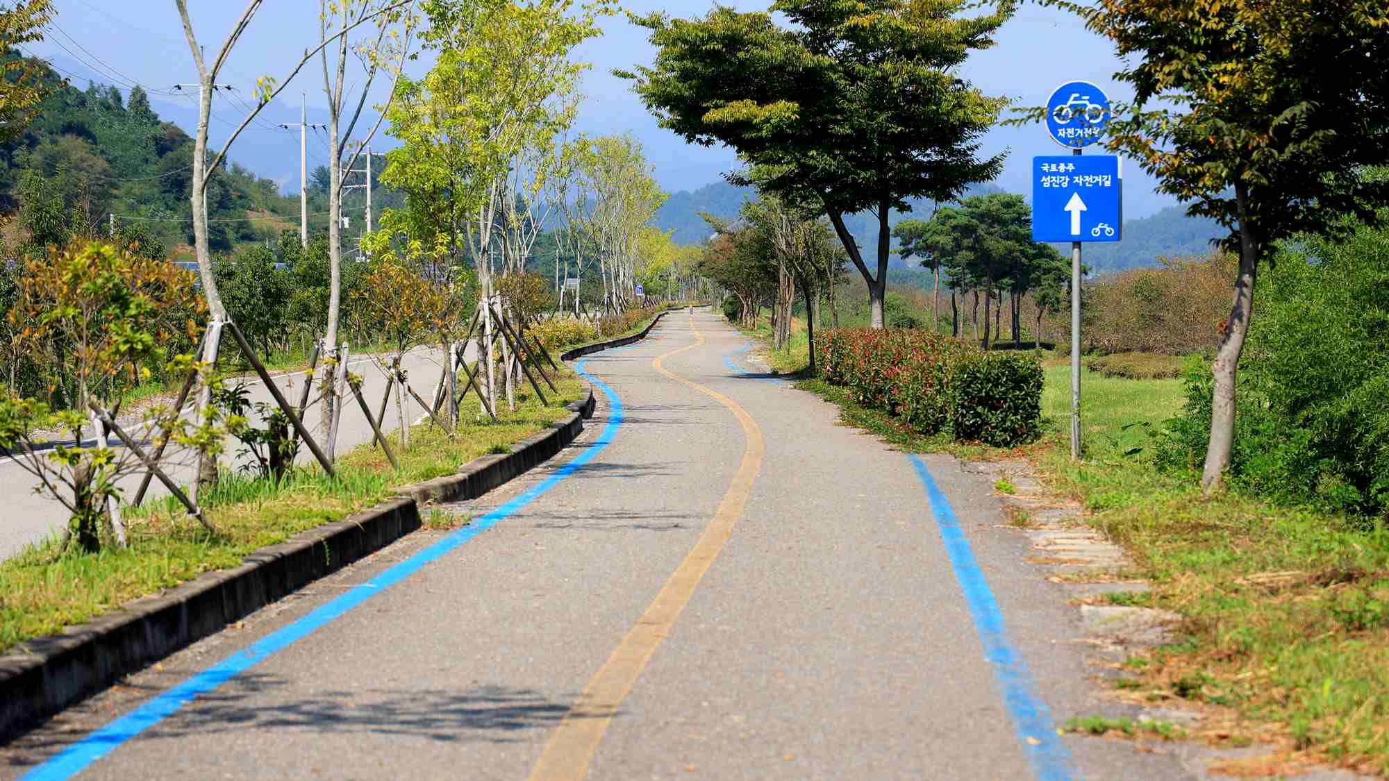
Most of the Western Routes travel protected bike lanes. However, the more rural Ocheon and Seomjingang Bike Paths employ country roads for stretches.

  • 70% bike paths
  • 15% country roads
  • 15% farm roads

The Ocheon Bike Path unfold in three sections. The opening stages near the mountainous Goesan travel sleepy rural roads. Around Jeungpyeong, cycle farmer roads by fields and cow pens. Roll onto protected bike lanes in waterside parks around Sejong City.

Most of the Geumgang Bike Path follows protected bike lanes in parks along the Geum River. In Daejeon and Gunsan, near the east and west endpoints, the route employs bike lanes embedded in sidewalks.

Only a sliver of the Yeongsangang Bike Path doesn’t follow protected bike paths. Find rural roads before the Metasequoia Road Certification Center (map) and paved hiking paths around Neureoji Observation Center

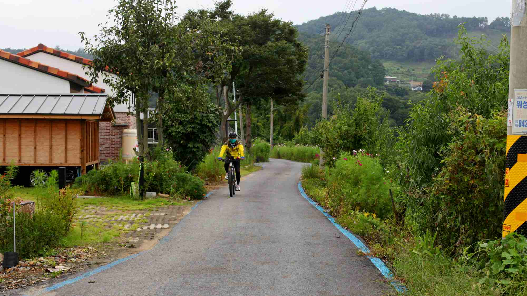
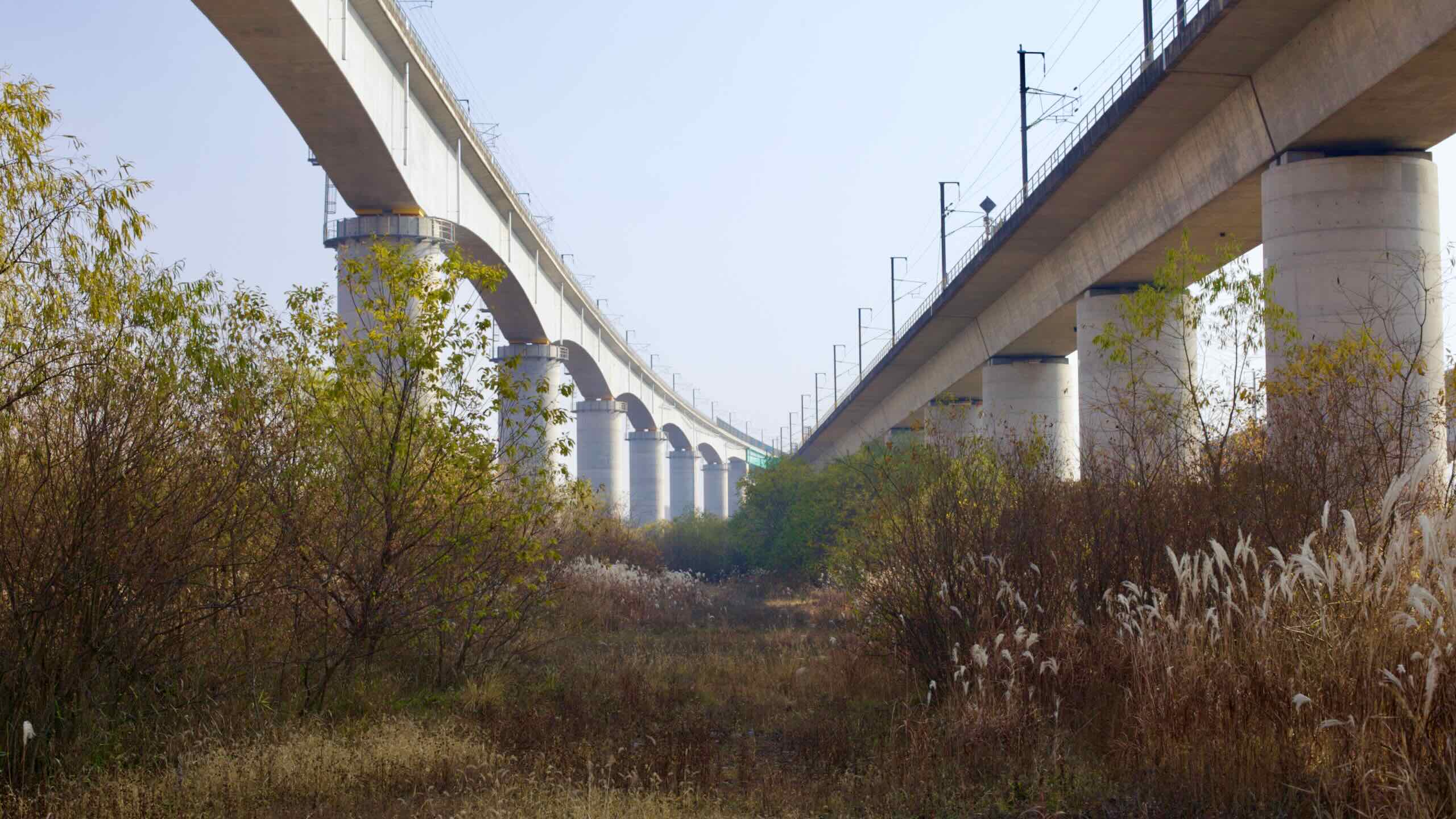
The Seomjin River cuts through deep valleys. This sometimes shoves the Seomjingang Bike Path onto rural roads. However, major highways pulled most of the quicker traffic from them. 

Namdo Bridge Road (map) in Gurye County is Seomjingang’s most famous example. In spring, sightseeing cars converge on this riverside road to view its blossoming cherry blossoms.

Time & Distance

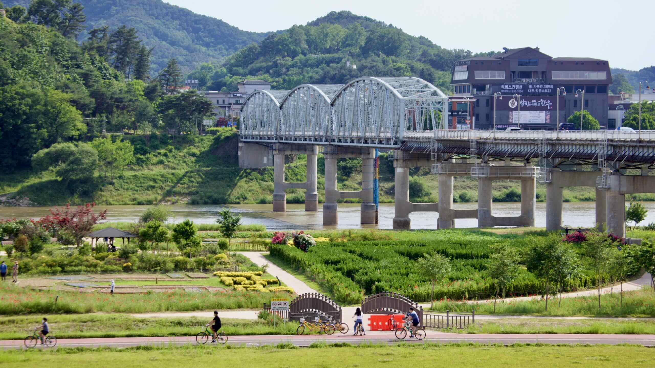
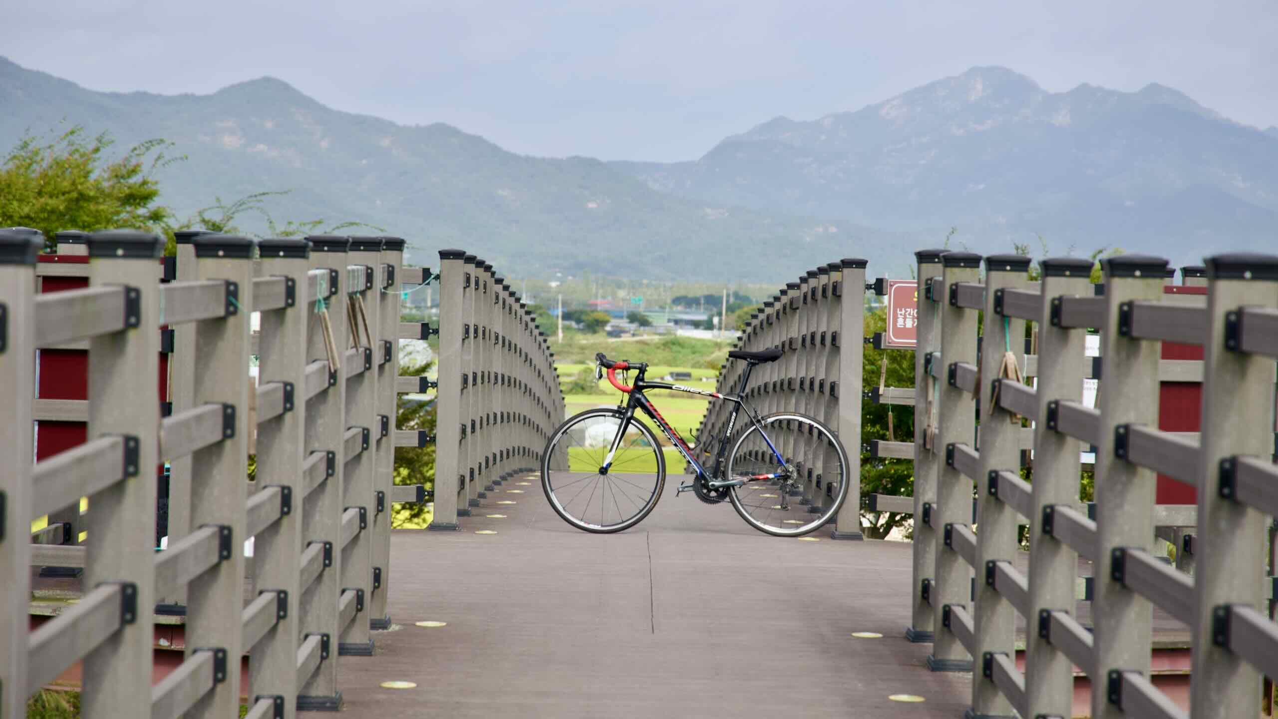
The Western Routes aren’t as challenging as the Cross-Country or East Coast Routes. They track gently sloping waterways between mountain valleys. Average folks can complete them in two days.

Want to cycle the Western Routes back-to-back? Only two bike paths connect. And because of limited bus service, it’s difficult to hop between the northern (Ocheon & Geumgang) and southern (Yeongsangang & Seomjingang) cycling roads.

The Ocheon Bike Path offers the shortest course (101.8 km). However, because of limited intercity bus access, most riders will need to ride a couple dozen kilometers to get to its start.

If you travel the Ocheon east-to-west, gravity will aid you down the Sobaek Mountain Range. West-to-east, a gentle but constant incline will slow your progress.

Strong cyclists can complete the course in a day. Budget two days for a leisurely cycle (directions).

The Geumgang, Seomjingang, and Yeongsangang Bike Paths sport similar lengths (146 km, 149 km, 133 km) and run along a waterside course with only a few challenging hills

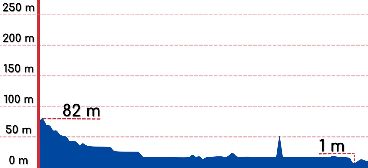
The Geumgang and Yeongsangang Bike Paths’ upriver sections hover only 80 meters above sea level. So cycling upstream isn’t as challenging as cycling downstream.

Active riders can complete the Geumgang (directions) and Yeongsangang (directions) over an extended day. Serious sightseers can spend two or more days exploring their highlights. 

Seomjingang’s north end sits 160 meters above sea level. This makes the upriver course more challenging than the downriver. And without private transportation, getting to the bike path via intercity bus or train can cost half a day.

A vigorous, morning-till-night bike ride can complete the Seomjingang course in a day (directions). A leisurely paced ride may require two or more full days.

How to Get There

Don’t own a car? You could face challenges getting to the Western Routes with your full-size bike. But it’s not too difficult with a little planning and a helpful guide.

Ocheon Bike Path

The Ocheon Bike Path connects with both the Saejae and Geumgang Bike Paths. However, neither intercity bus terminals nor bike-friendly train stations lie near its start or end points.

Geumgang Bike Path

The eastern end of Geumgang Bike Path straddles two large cities: Daejeon and Sejong. However, their intercity bus terminals don’t perch near the start line, the Daecheong Dam Certification Center (map).

Seomjingang Bike Path

Only small to medium-sized intercity bus terminals live on the Seomjingang Bike Path. If you’re coming from afar, you’ll need to transfer to them via a larger terminal.

Yeongsangang Bike Path

The Yeongsangang Bike Path’s start line lives in Damyang County. Its intercity bus terminal (map) hangs 10.1 kilometers south of Damyang Dam Certification Center (map), the bike path’s first stamp booth.