Cycle on a culinary adventure through southwest Korea.
Food, trees, and observatories—oh my!
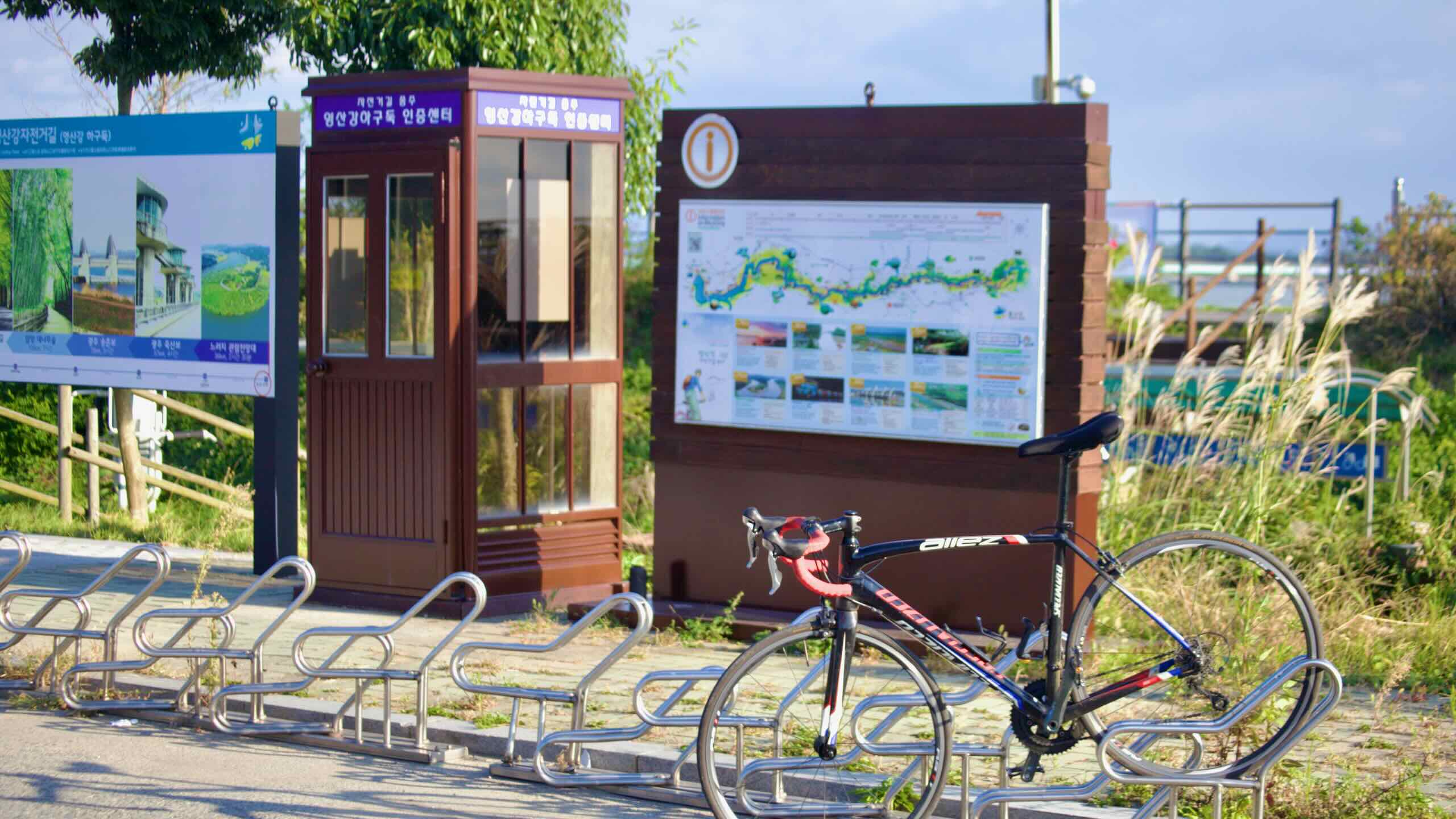
The Yeongsangang Bicycle Path (영산강자전거길; map) follows the Yeongsan River (map) through southwestern Korea until it spills into the Yellow Sea (황해; map).
Learn the history and geography of the Yeongsan River.
Bike Path Overview
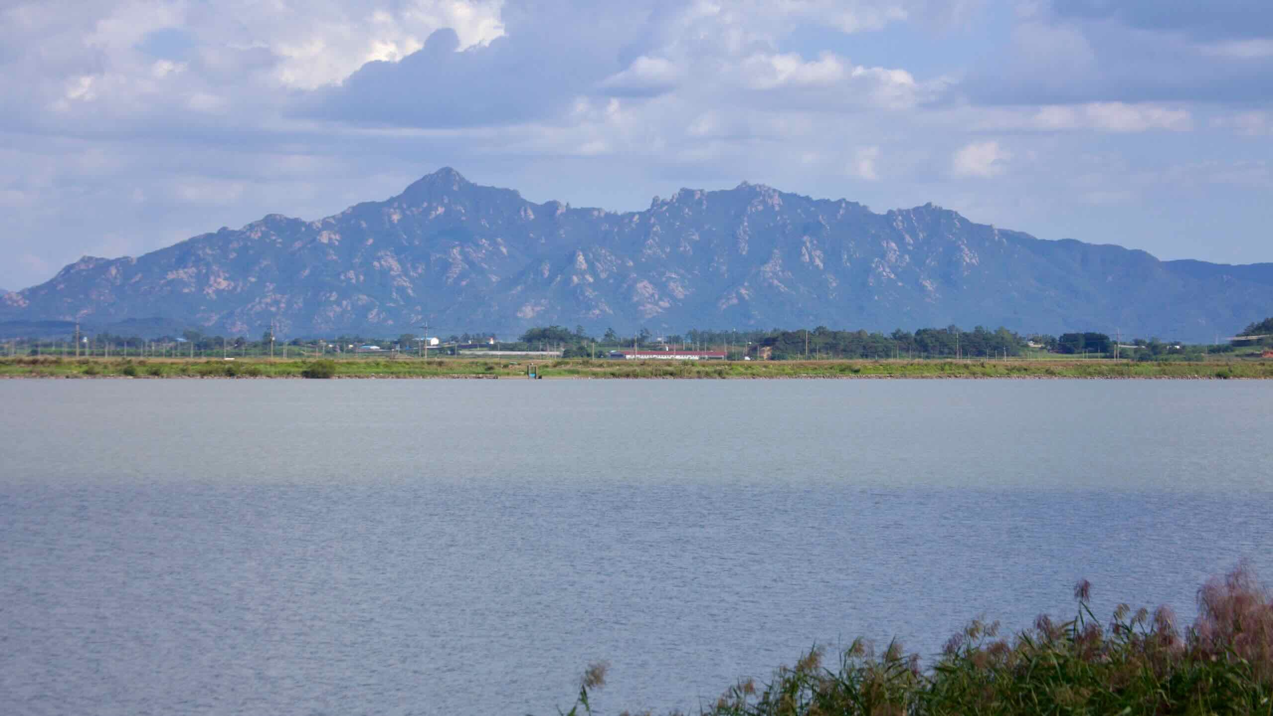
The Yeongsangang Bike Path follows the Yeongsan River (영산강; Yeongsangang; map) from forested uplands in Damyang County to the wide estuary outside Mokpo City on Korea’s southwest coast.
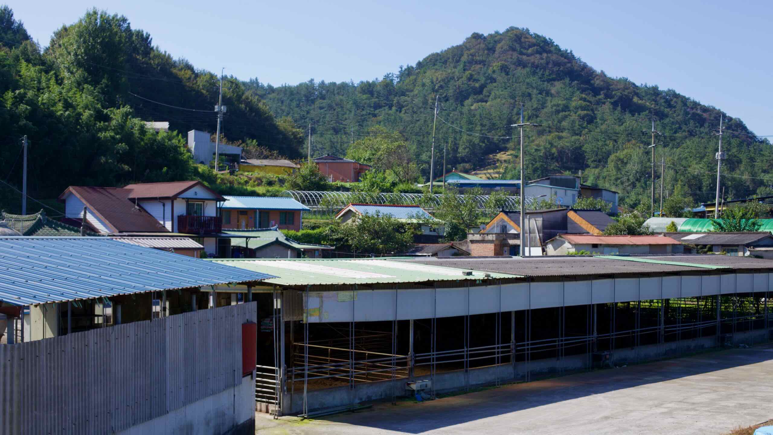
From the upper reaches of the river, the route winds past bamboo groves, waterside forests, and wetland parks into Gwangju, a metropolitan city known for its pro-democracy history and riverside green belts.
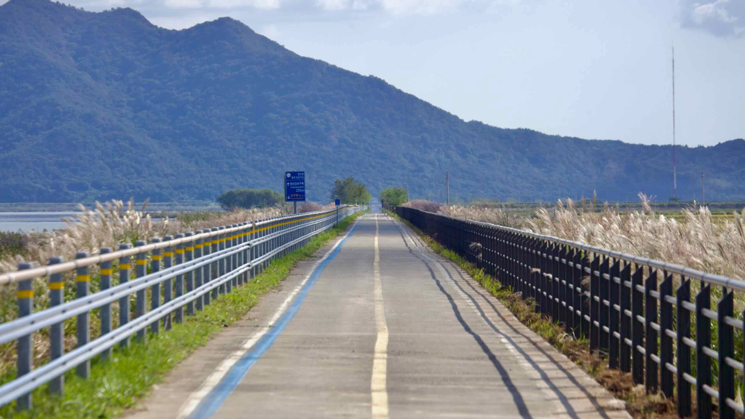
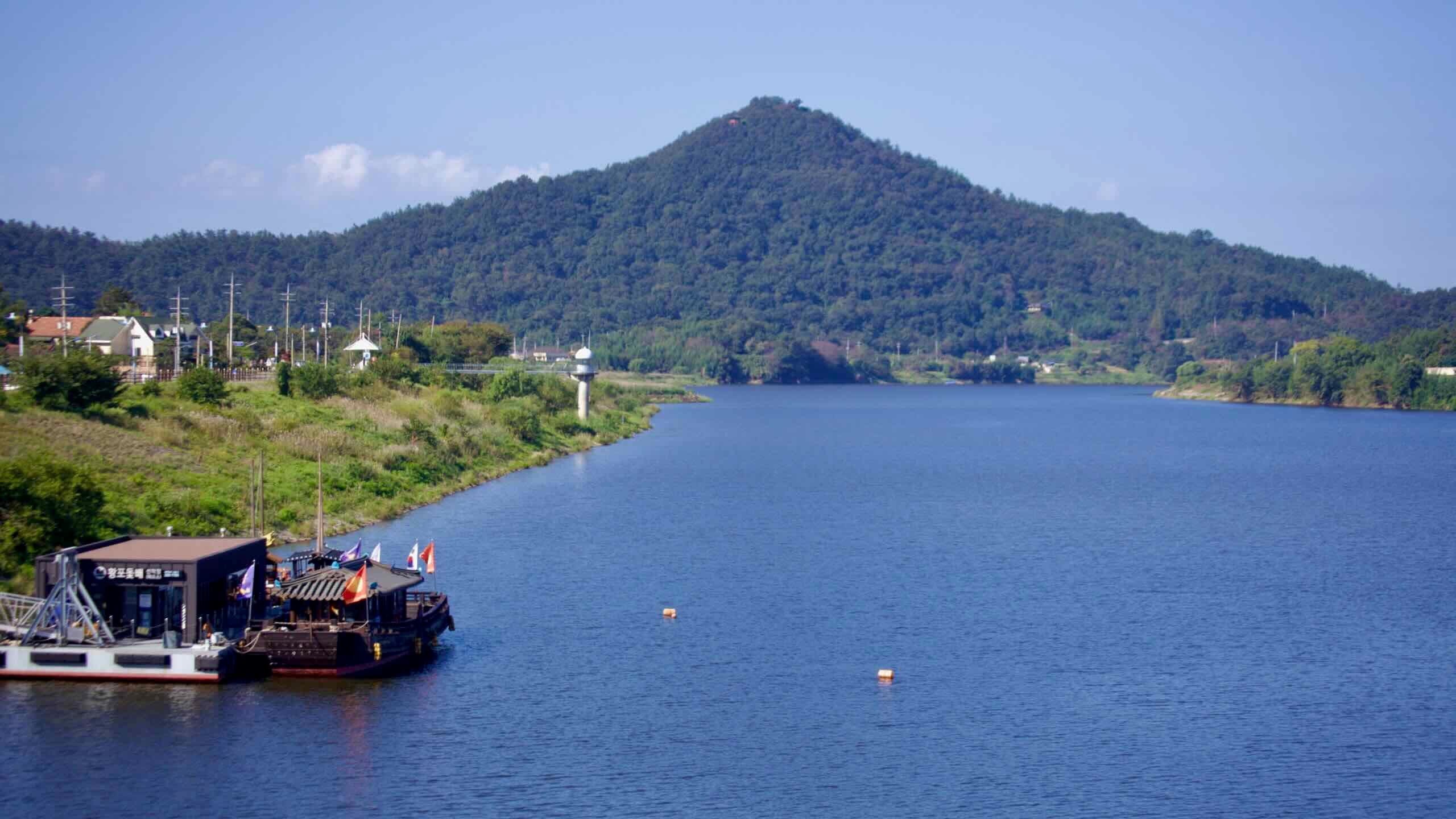
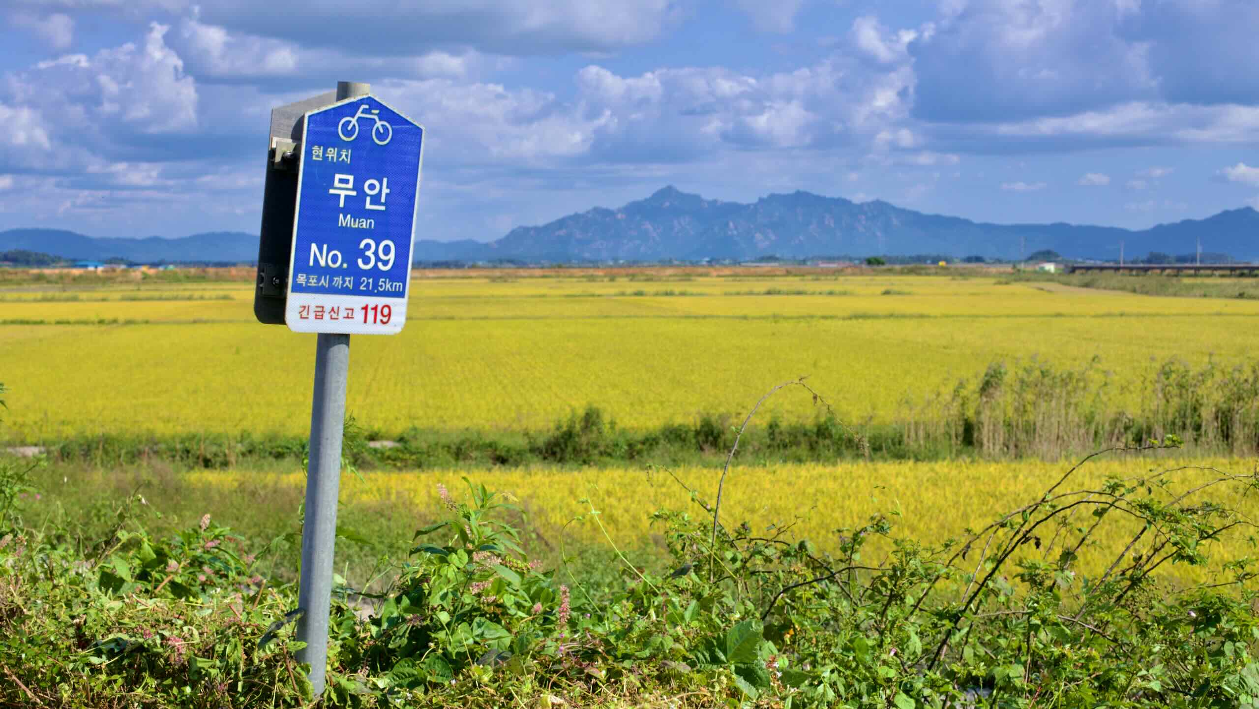
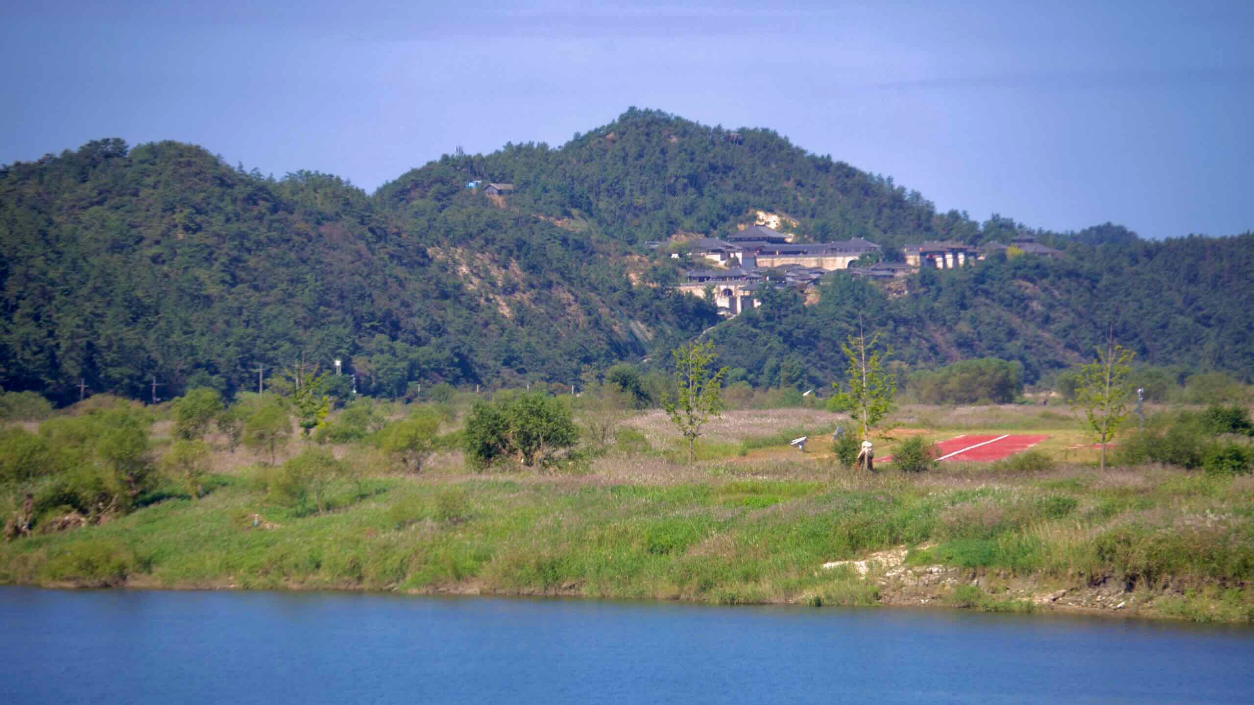
Downstream, it traces the Honam region’s traditional grain route through Naju’s inland port, the Naju Plains, and Muan’s mudflat country before finishing where the Yeongsan meets the Yellow Sea at the Yeongsan River Estuary Bank.
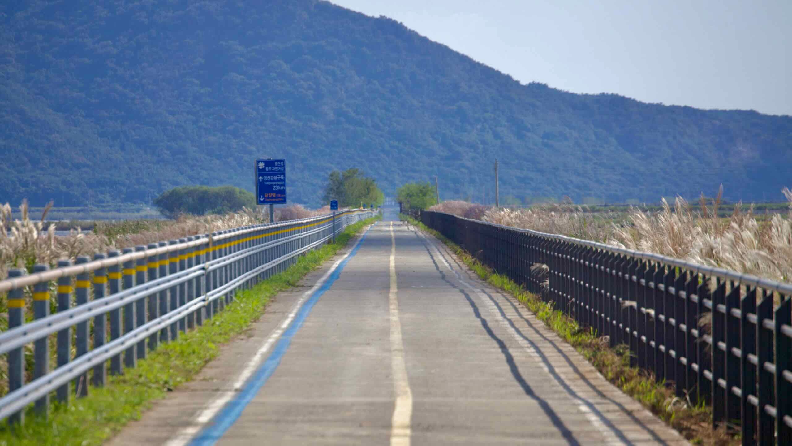
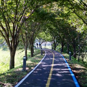
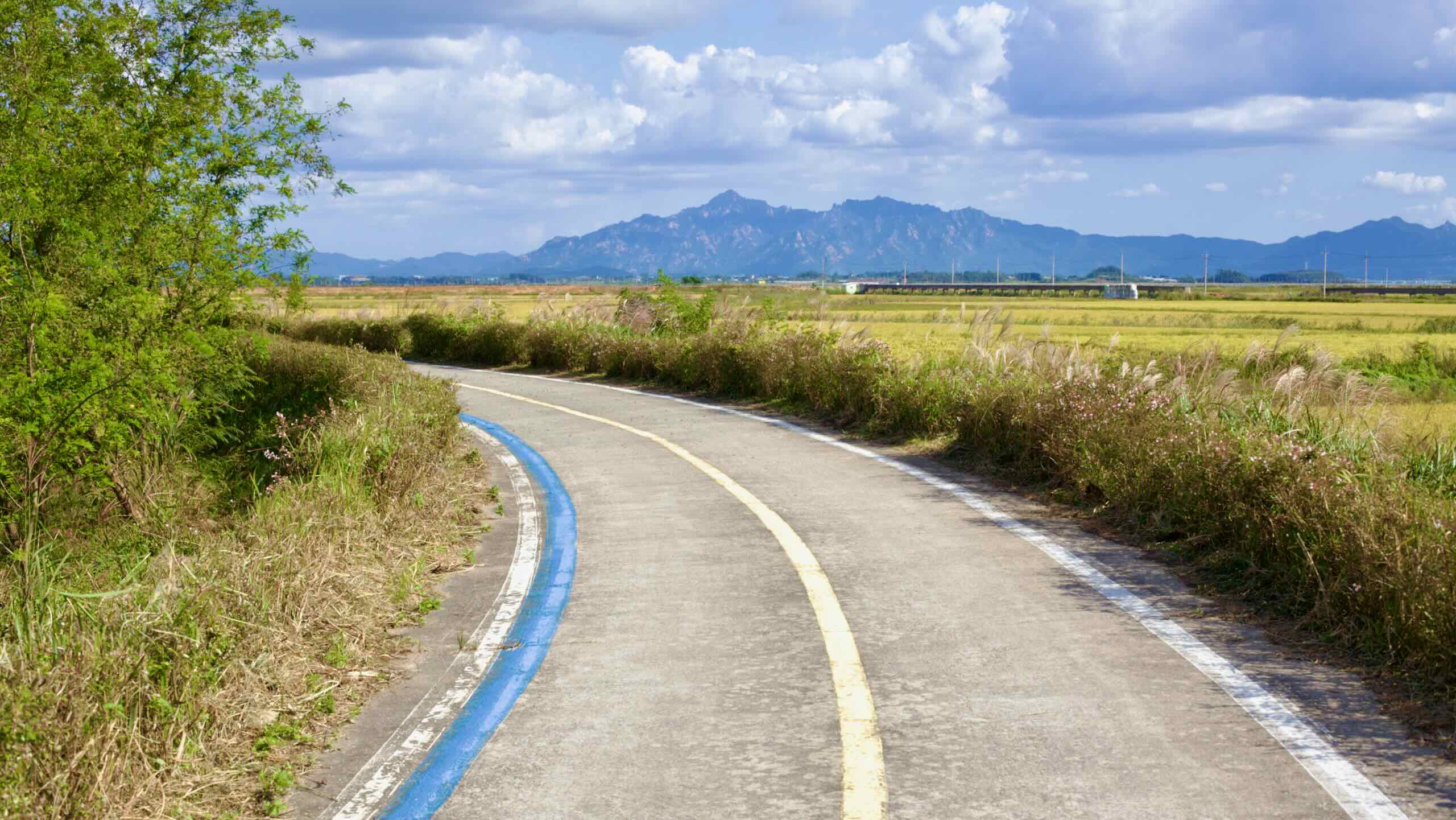
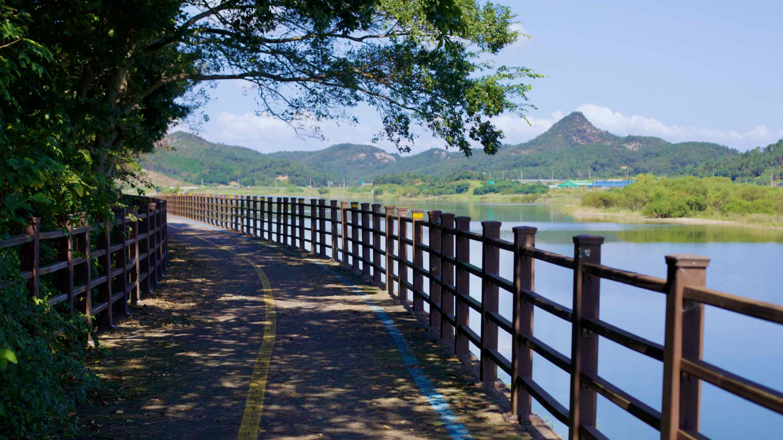
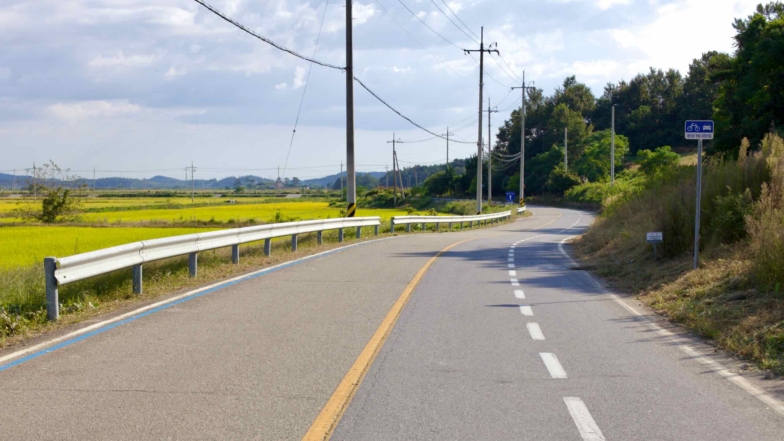
Most of the Yeongsangang Bike Path runs along gentle riverside grades on paved bike paths and quiet country roads. Only a few short climbs stand between you and the Yellow Sea. Compared to the Nakdonggang or Gangwon Bike Paths, Yeongsangang is shorter and more relaxed, making it a manageable two-day river ride.
Downstream, the path enters waterside wetlands, then follows the Yeongsan into the riverside parks of Gwangju, one of Korea’s bustling metropolitan cities.
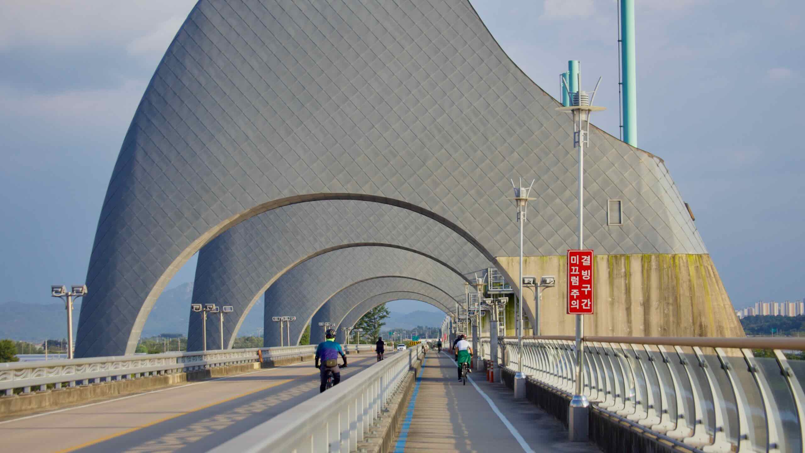
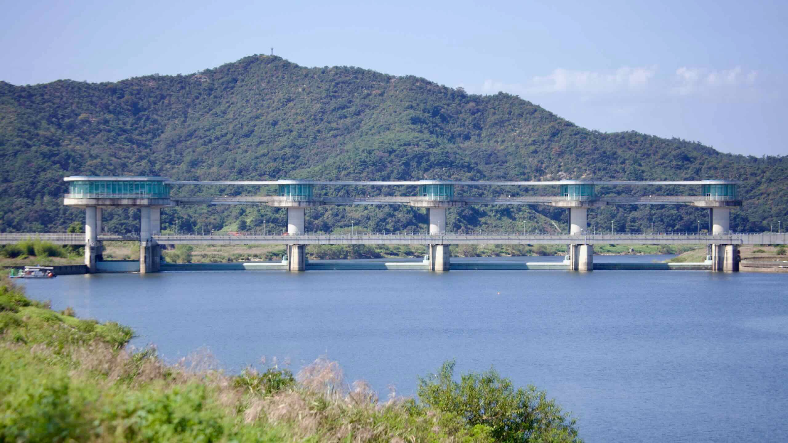
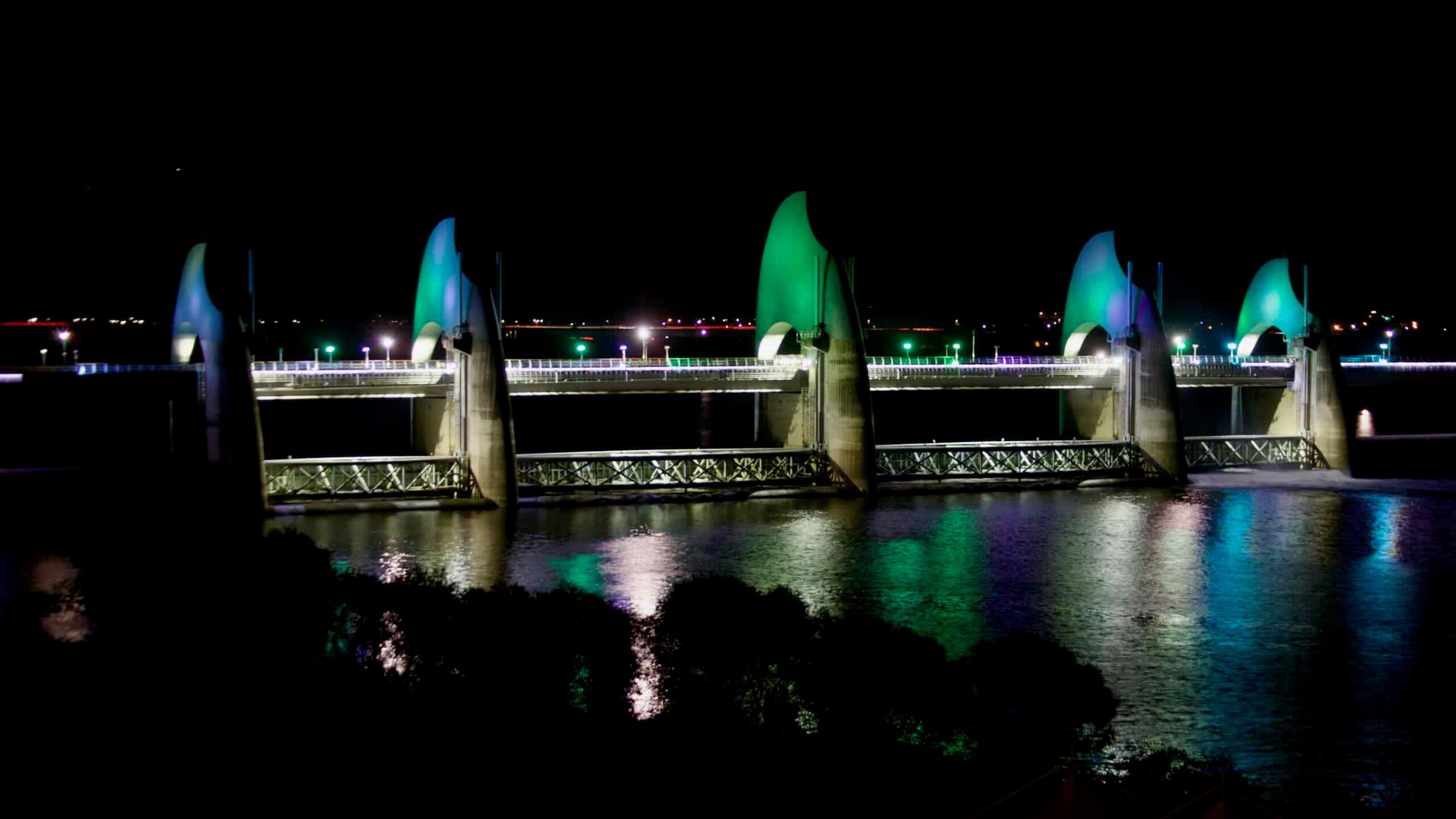
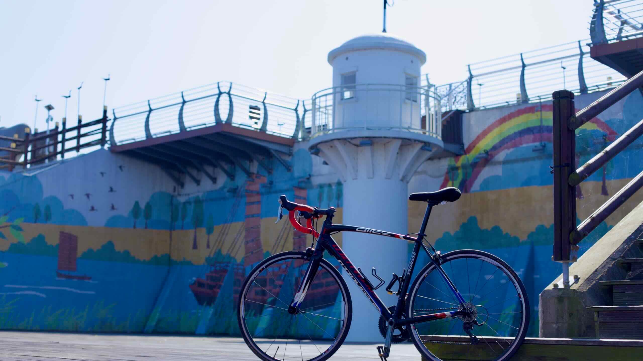
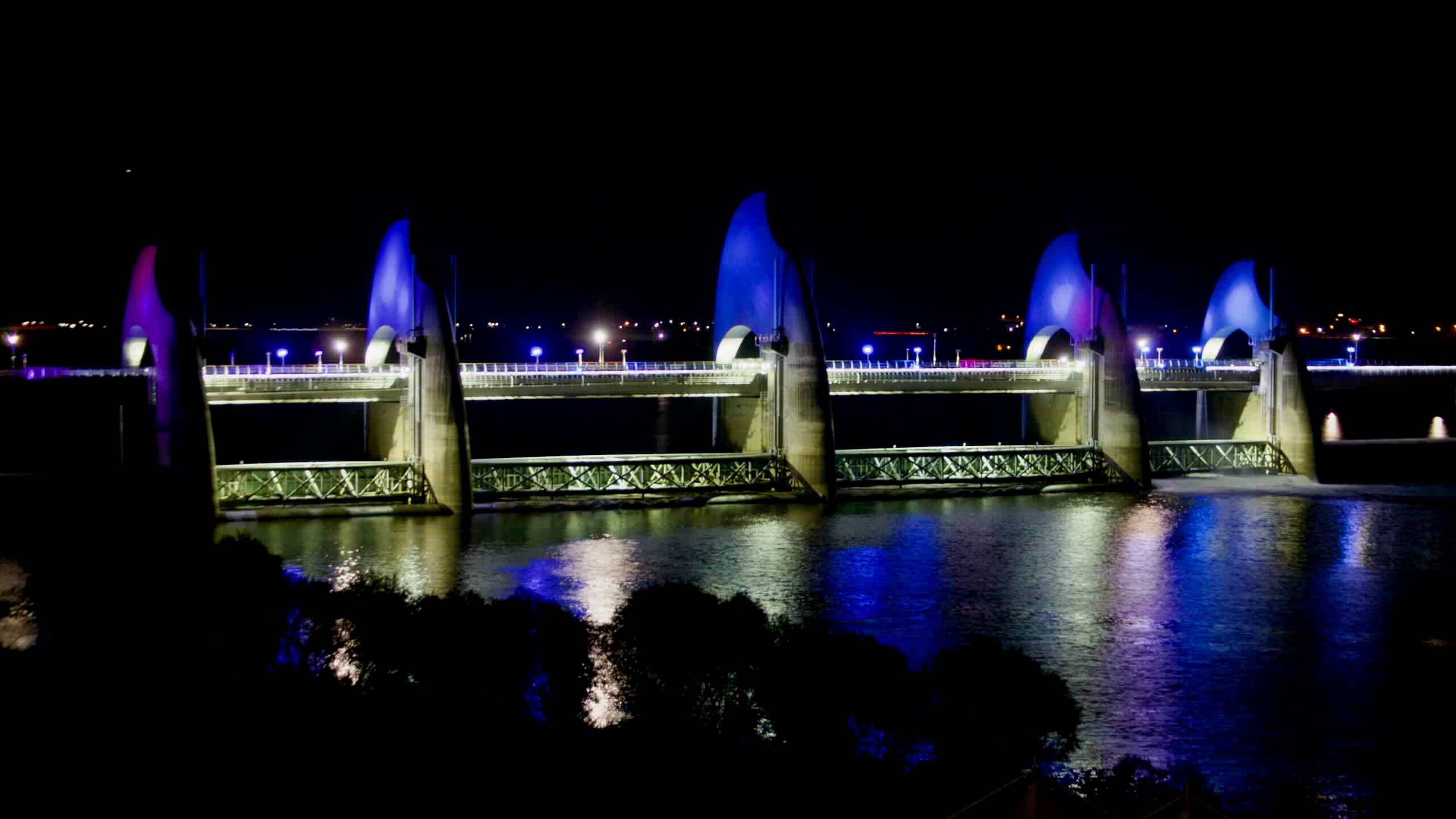
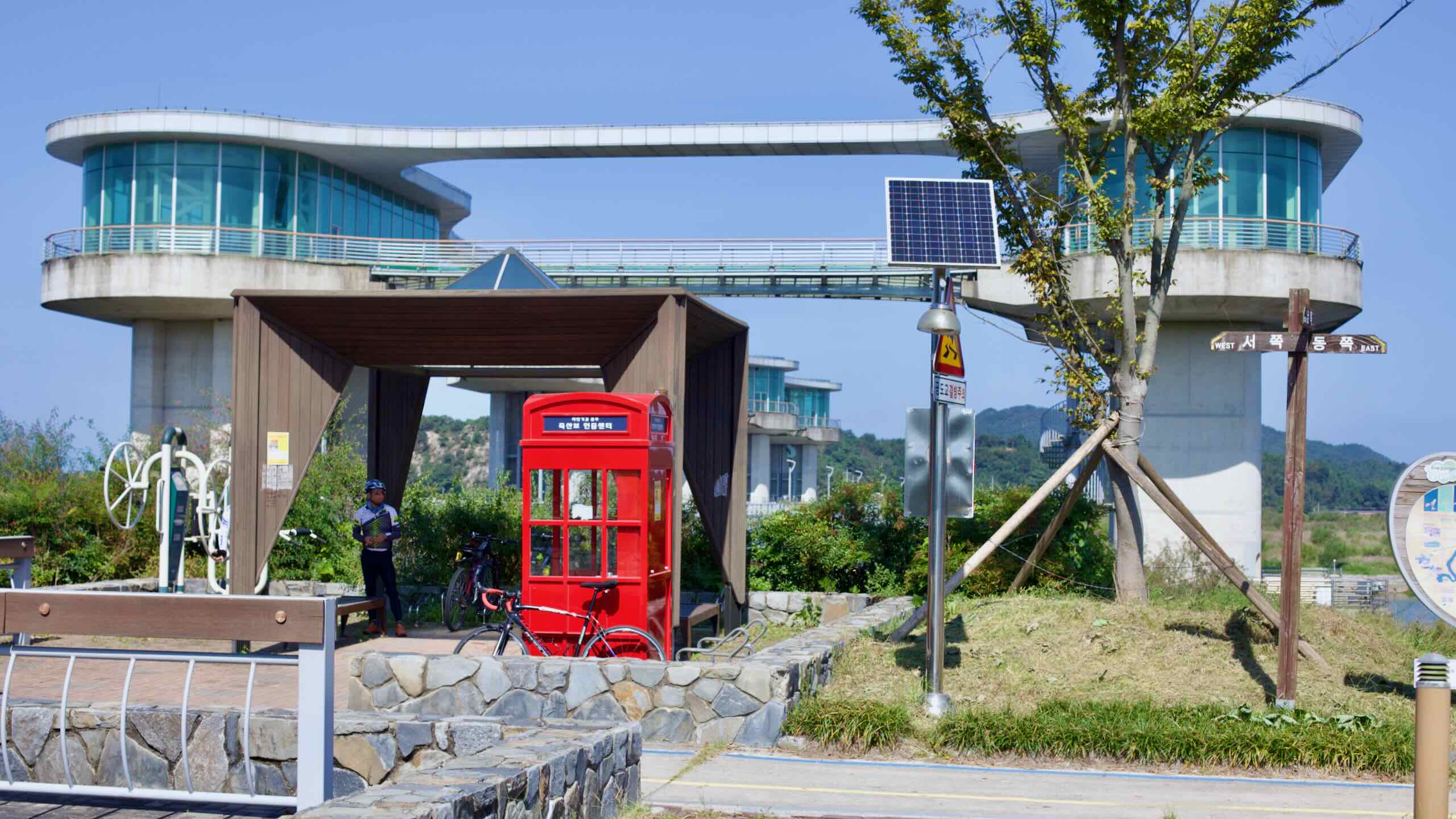
Finish at Seungchon Park on an oxbow bar island beside a weir with water towers shaped like grains of rice.
The Yeongsangang Bike Path passes one metropolitan city, one province, two cities, and two counties. Skim these brief profiles of each.
South Jeolla Province (전라남도; map) sits on the southwest tip of Korea. Gwangju Metropolitan City, known for rebelling against the nation’s strongmen policies, once served as its capital. Like North Jeolla, South Jeolla holds the remaining portion of the fertile Honam Plains and cooks up some of the country’s most delectable dishes. The province’s coast produces seaweed and oysters and contains thousands of mostly uninhabited islands within its borders.
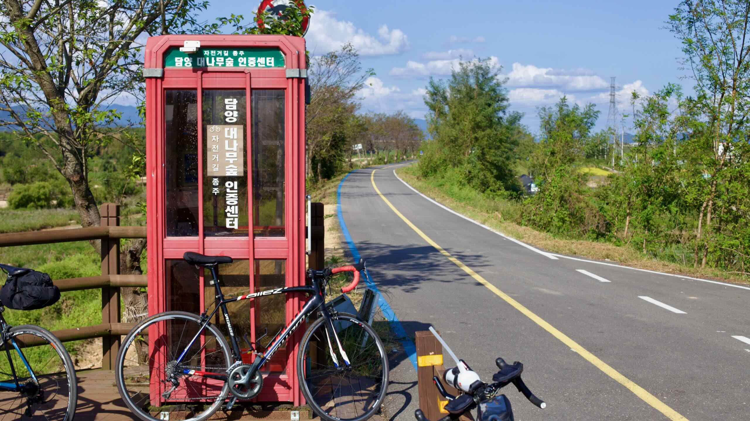
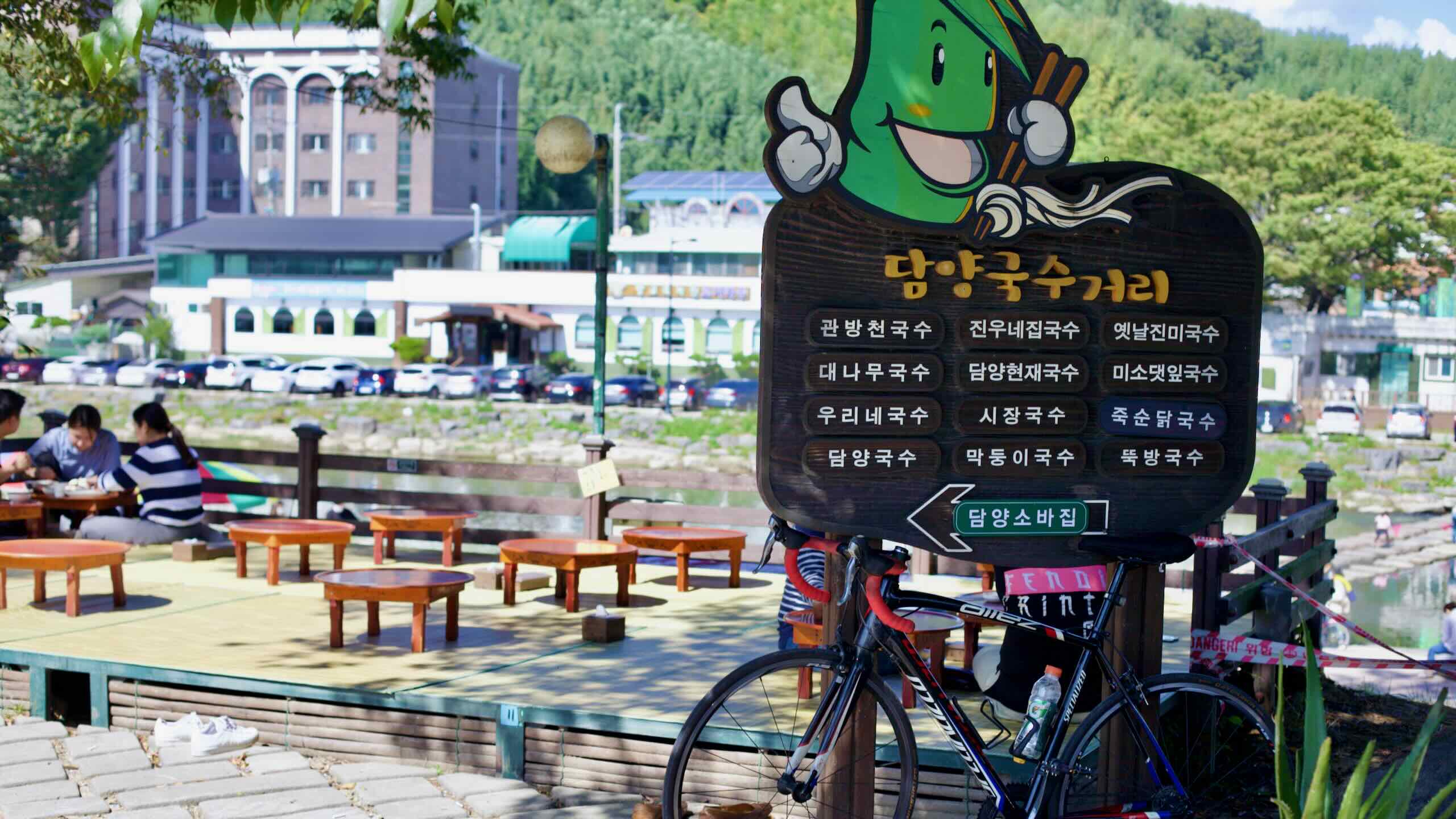
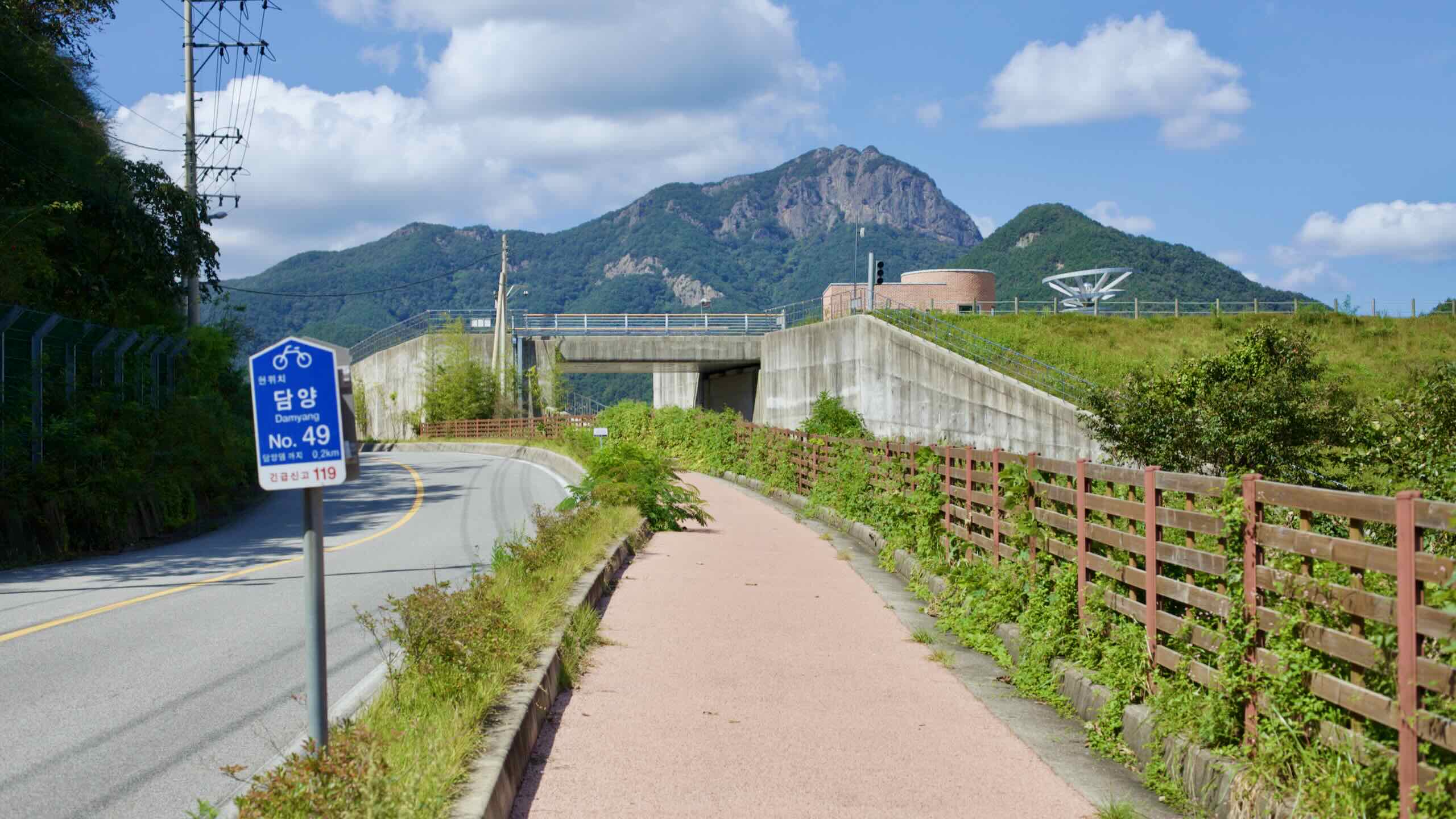
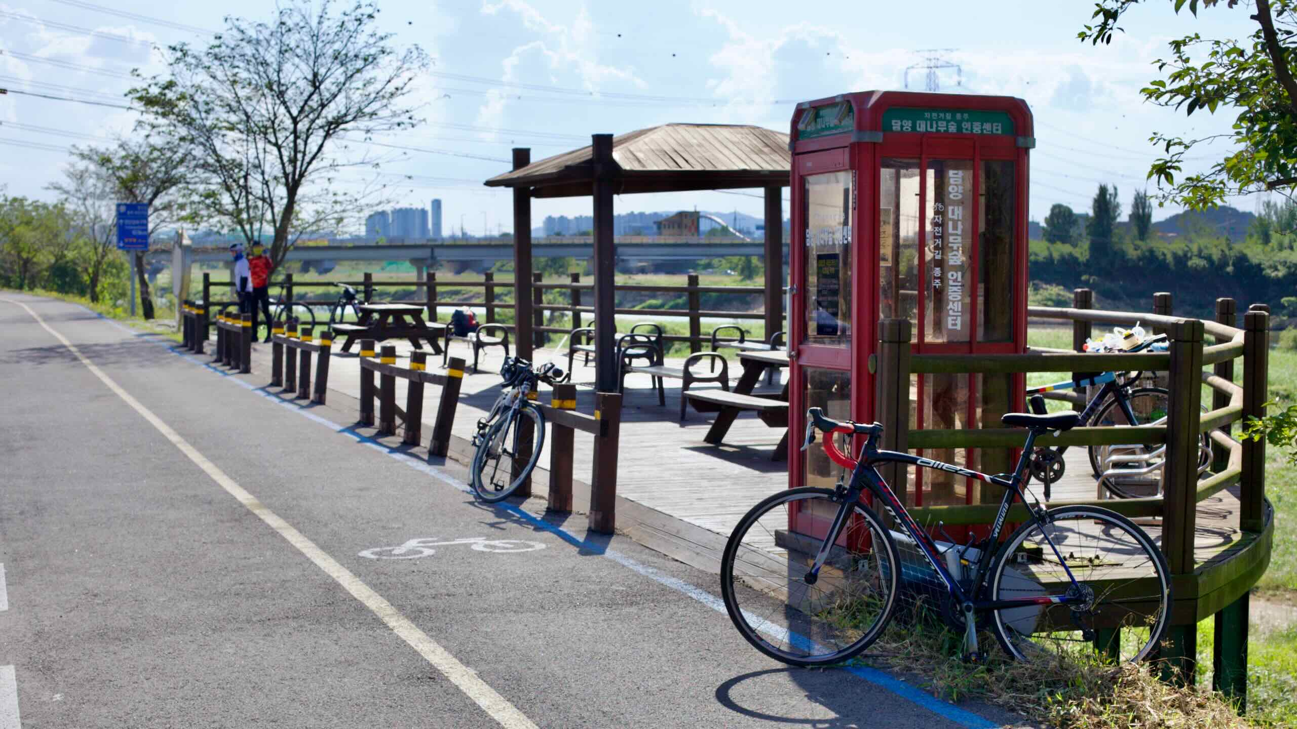
Damyang County (담양군; map) holds the source of the Yeongsan River. It has also served as the setting for popular Korean dramas, with filming locations including Metasequoia Road and Juknokwon, a bamboo forest. The county cultivates bamboo for construction, crafts, and more. Adding to the Jeolla provinces’ culinary reputation, Damyang’s specialties include tteokgalbi and grilled ribs.
Naju City (나주시; map), half the namesake of Jeolla, was an important stronghold for the region, producing key resistance leaders. Fertile plains account for 70% of the district’s land, a rarity in Korea. Farms grow rice and nationally known pears. In the past, its Yeongsan River port shipped agricultural bounty into the Yellow Sea and beyond. Foodies know the city for its gomtang (beef soup) and fermented skate (stinky stingray).
Muan County (무안군; map) became the capital of South Jeolla Province after Gwangju became a metropolitan city in 2005. The county holds a gaggle of shiny new structures on its border with Mokpo City. Wedged between the Yeongsan River and Yellow Sea, Muan’s coast contains vast protected mudflats. When the tide retreats, farmers wade out into the sticky earth and dig for sea critters, including famed small-octopus dishes. The county’s other famous crops include onions and lotus, celebrated with a festival each August.
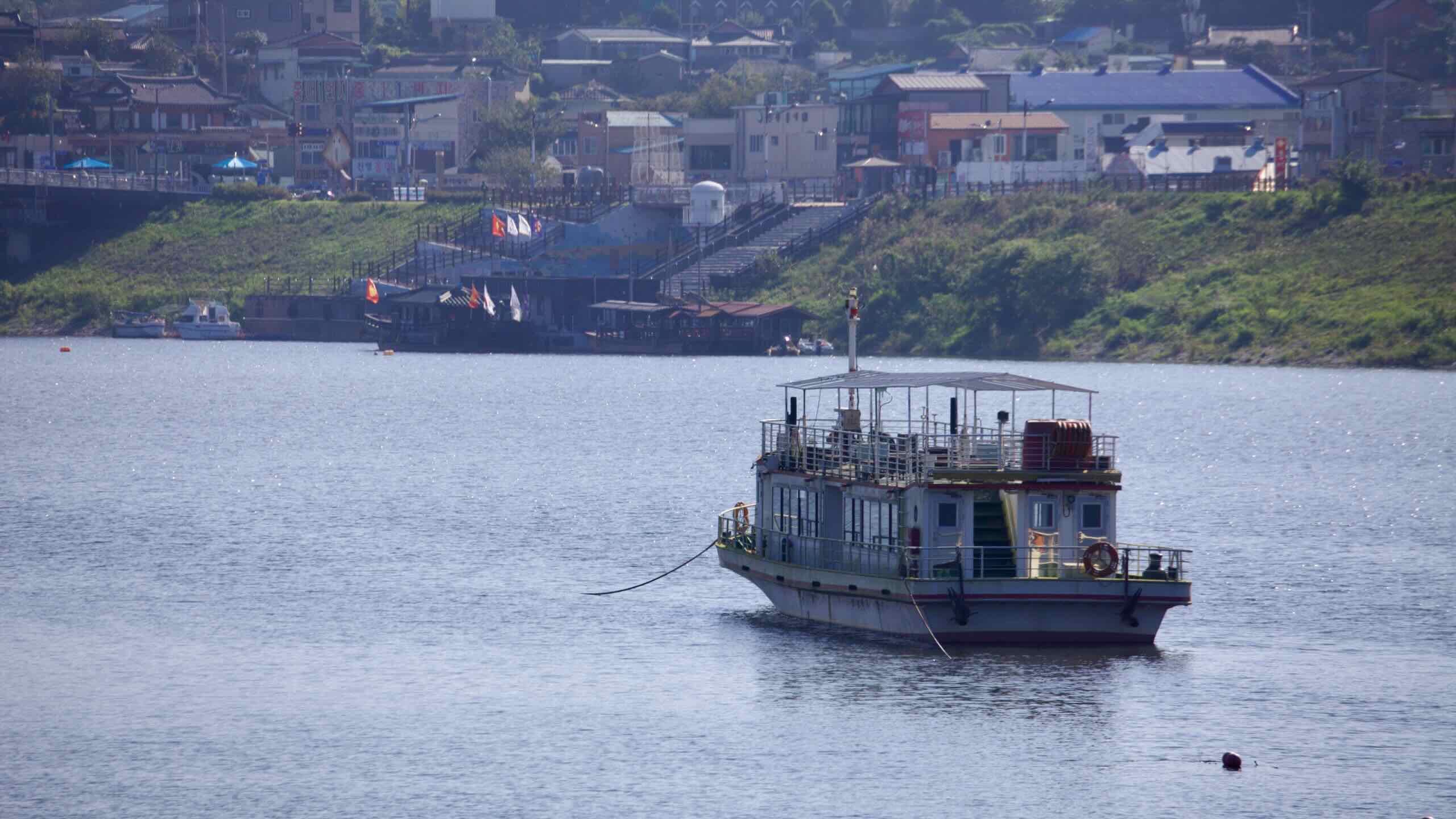
Mokpo City (목포시; map) is a port city at the end of the Yeongsan River. During the Imjin Wars, Korea’s most lauded admiral stationed his turtle ships in the city’s ports, fending off attacks from Japanese forces. When Japan occupied Korea, they used the port and city to export cotton and rice from the upstream Honam Plains. Today, as development has shifted east to the Gyeongsang Region, Mokpo has shrunk. However, it still makes a living brewing soju and beer and catching maritime delicacies.
Gwangju Metropolitan City (광주광역시; map), Korea’s sixth largest, sits on the southwest end of the peninsula along the Yeongsan River. Once the capital of South Jeolla Province, this left-leaning city, ideologically opposed to the neighboring conservative Gyeongsang Provinces, has birthed two major modern uprisings: one against Japanese Occupation and another against an oppressive South Korean government. Though poorer than other metro cities, Gwangju holds a strong reputation for food, markets, and the arts.
Elevation
The Yeongsangang Bike Path spends most of its time rolling along low riverside levees and floodplains. Grades stay gentle, dropping gradually from Damyang’s uplands until they level out at sea level along the Yellow Sea in Mokpo.
Still, a few short hills and detours stand out. Here are the climbs most riders will notice.
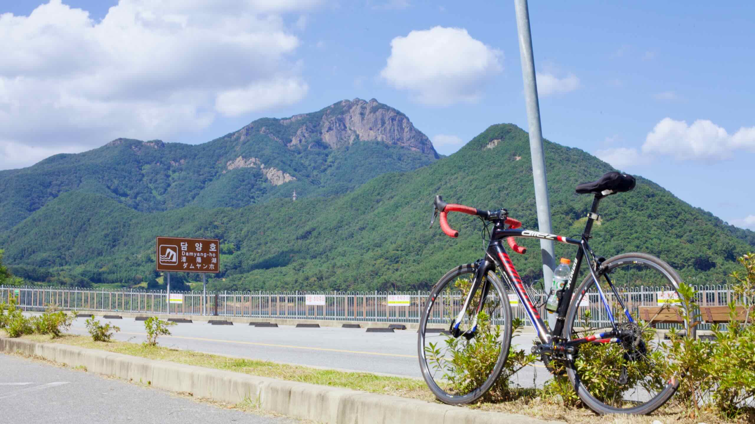
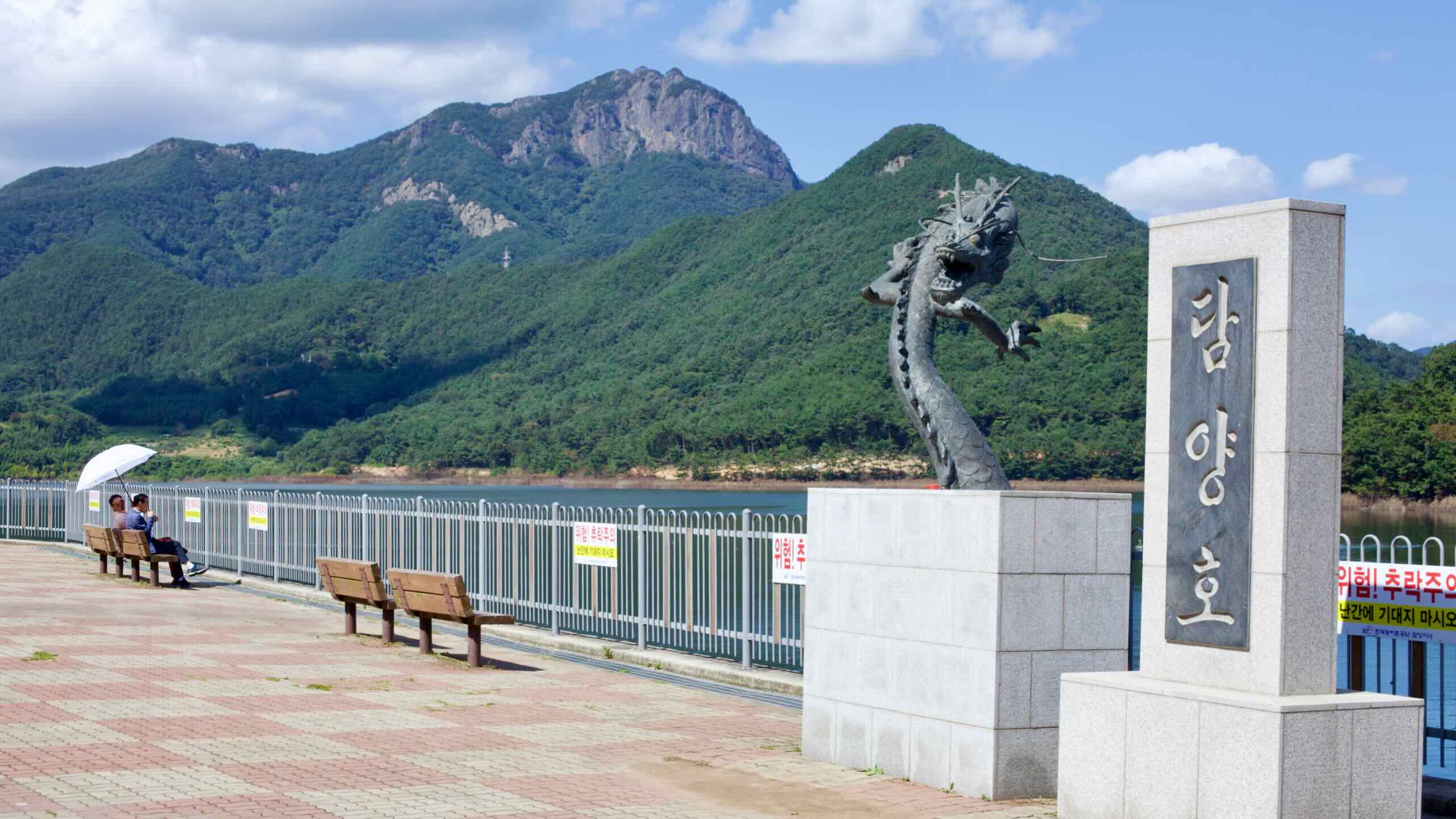
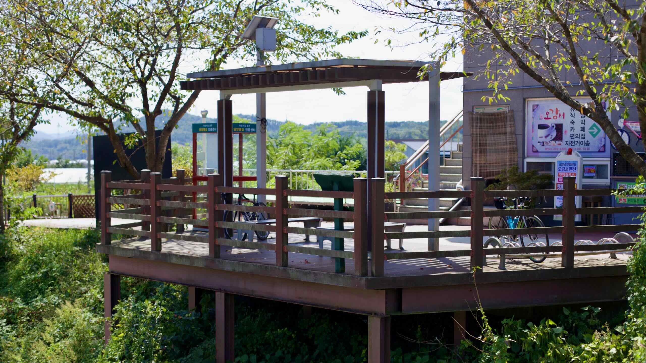
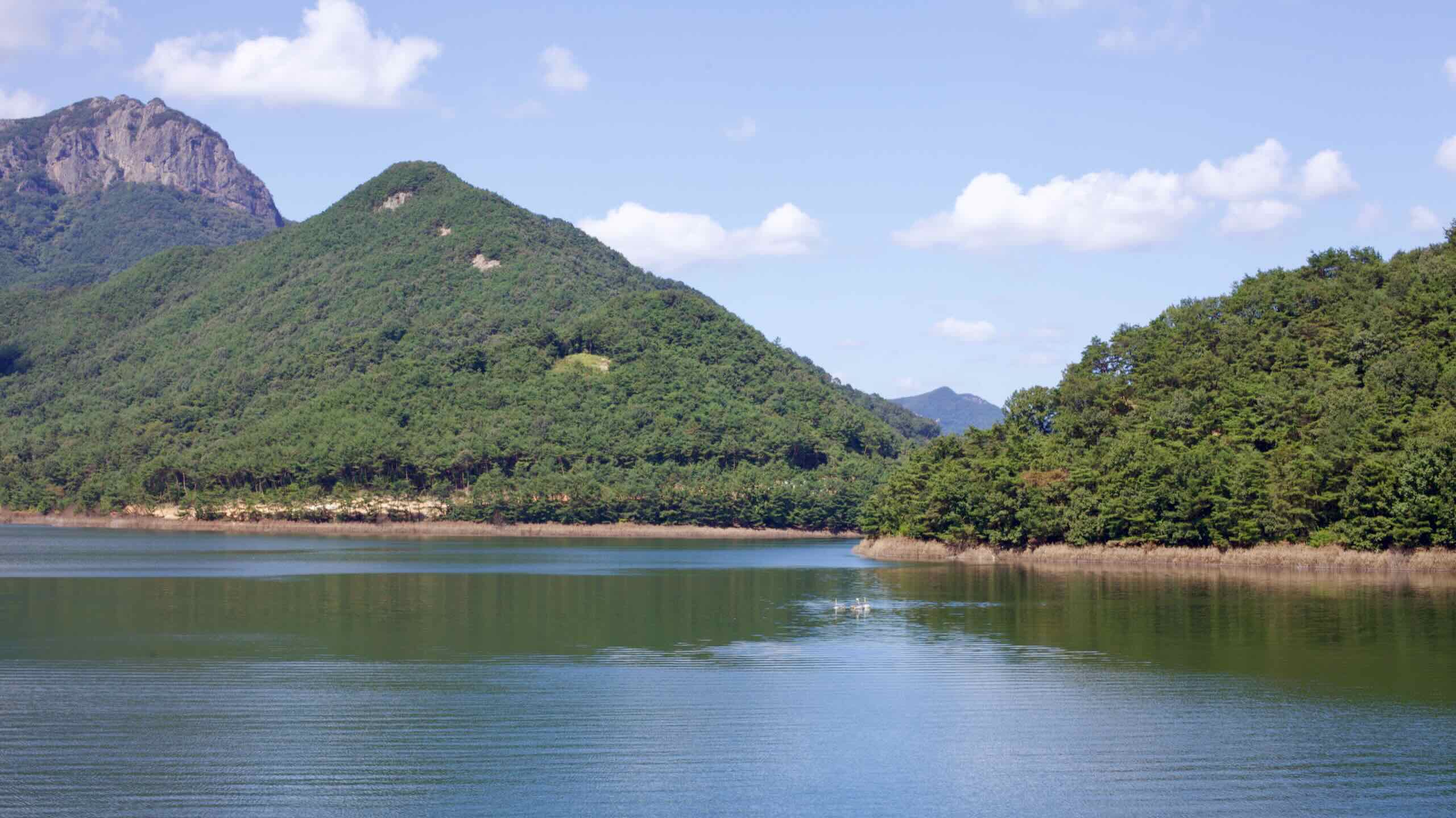
If you detour upstream to see Damyang Dam and Damyang Lake, you’ll ride about 900 meters from the certification center and climb a 52-meter incline up to the dam access road (directions; 8 minutes).
It’s a steady but manageable rise along country roads, then a quick descent back to the river to rejoin the main course.
Total Climb: 52 meters over 900 meters with a 5.78% average incline.
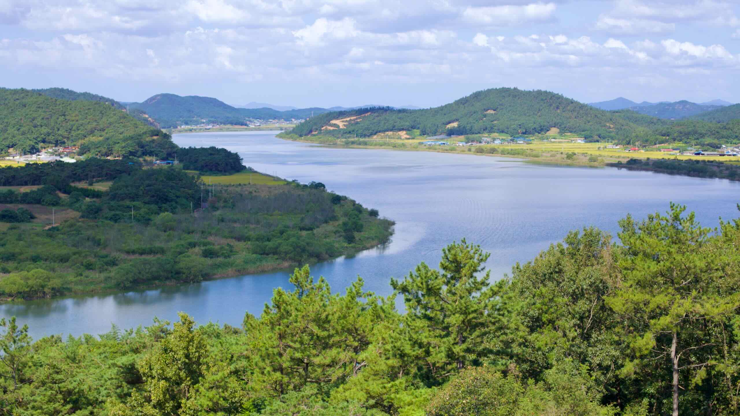
South of Naju and Yeongsan Port, the route briefly leaves the river to squeeze between 190-meter Gaya Mountain and the waterway. Here, the Yeongsangang Bike Path tackles its first notable hill.
From the riverside bike lane on the shoulder, the road tilts up toward Gaya Mountain and climbs in one short burst (directions).
Total Climb: 28 meters over 366 meters with a 7.65% average incline.
It’s a sharp climb, but near the top, a hiking path leads into the hills toward Angam Rock Pavilion, where you can take in a panoramic view of the Yeongsan River.
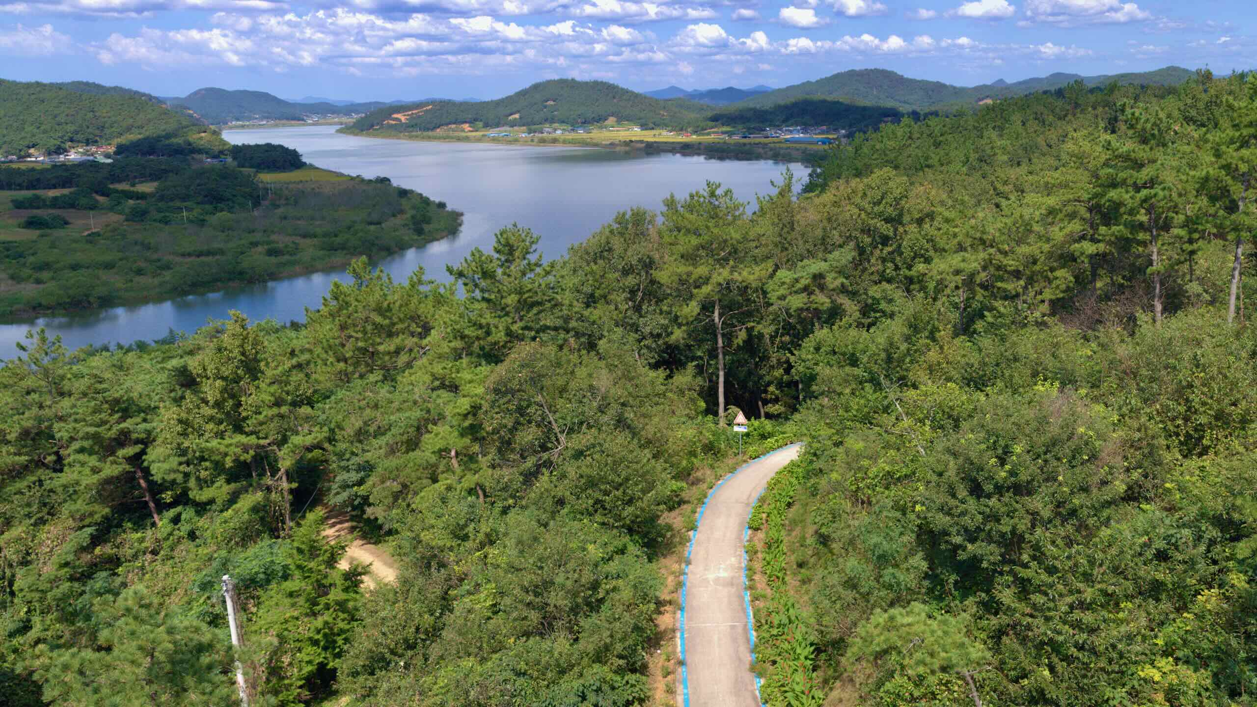
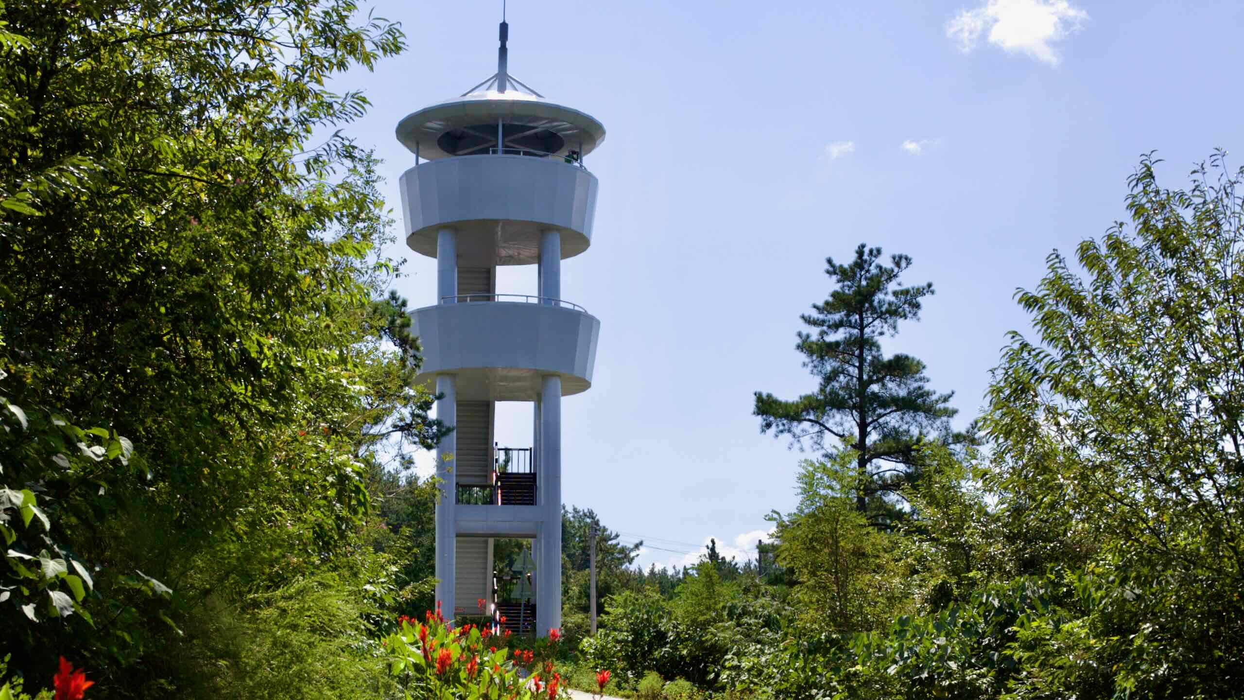
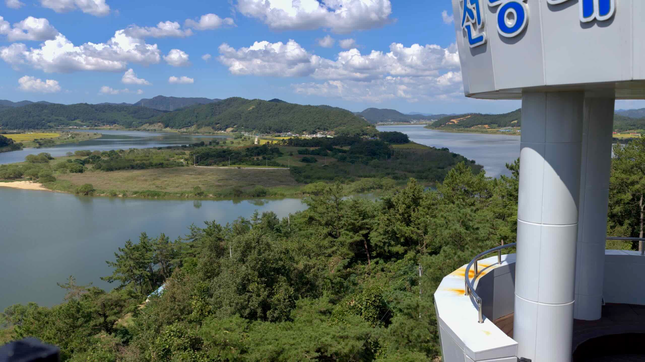
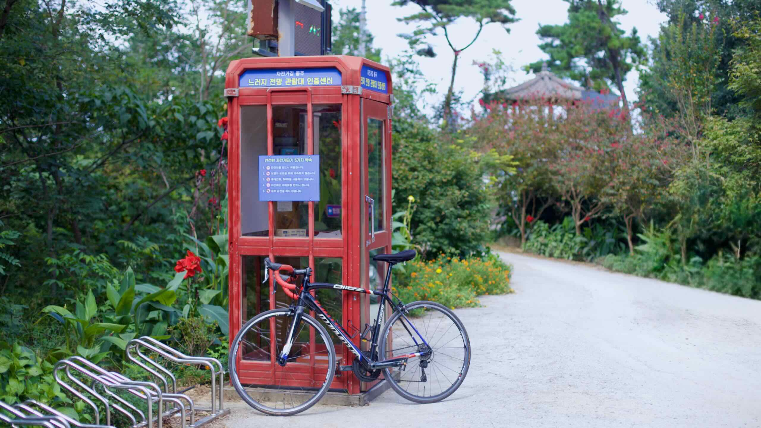
Ten kilometers after Juksan Weir, the Yeongsangang Bike Path follows a twisting stretch of river before climbing to its steepest viewpoint. This is the toughest hill on the entire Yeongsangang route.
The path leaves the flat floodplain, angles into the hillside, then winds upward through a leafy tunnel to the Neureoji Observation Center (directions).
Total Climb: 42 meters over 511 meters with an 8.22% average incline.
At the top, a 15-meter-tall tower overlooks an S-shaped bend in the Yeongsan, often compared to the shape of the Korean Peninsula. After stamping your passport at the certification center, you’ll descend back to the river and roll toward Muan County.
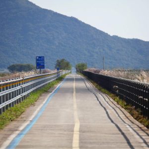
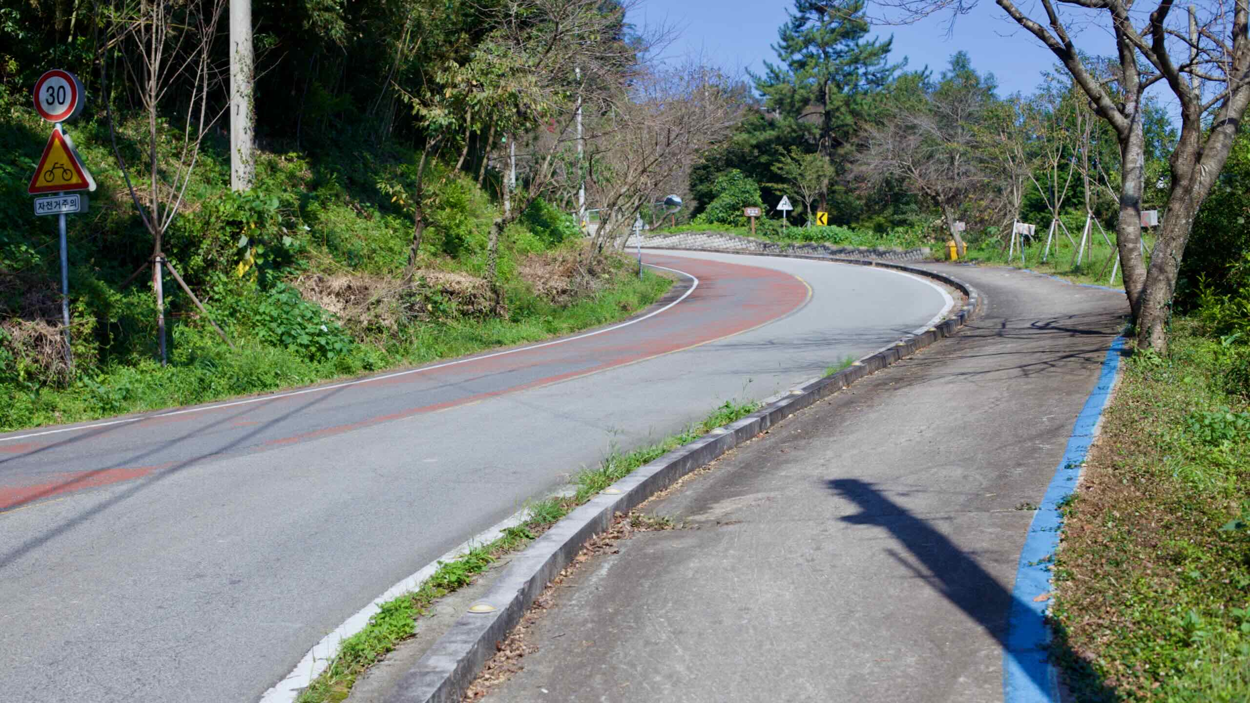
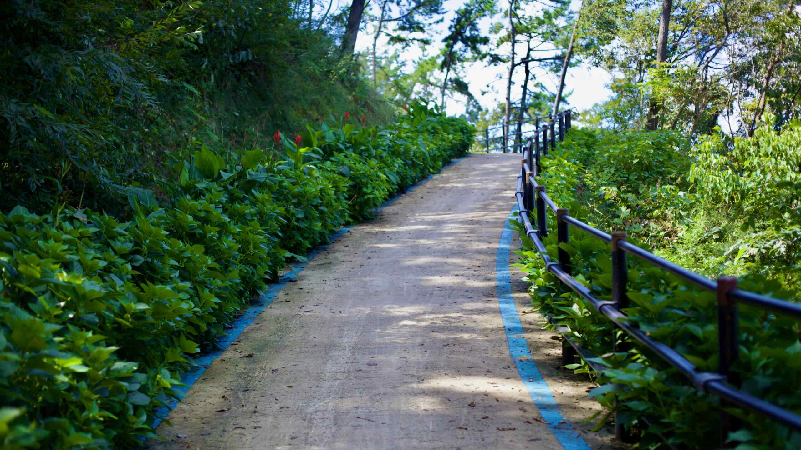
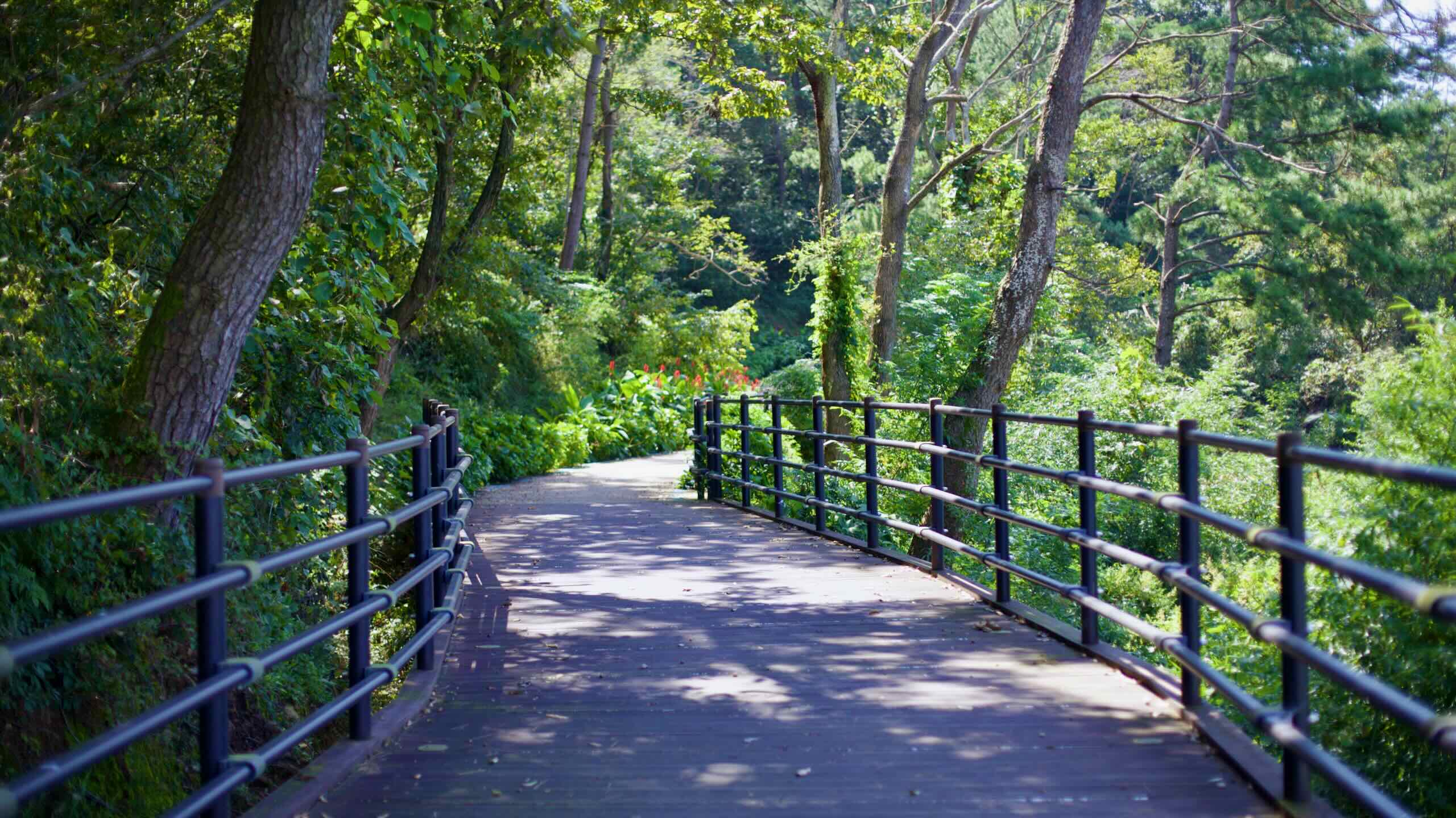
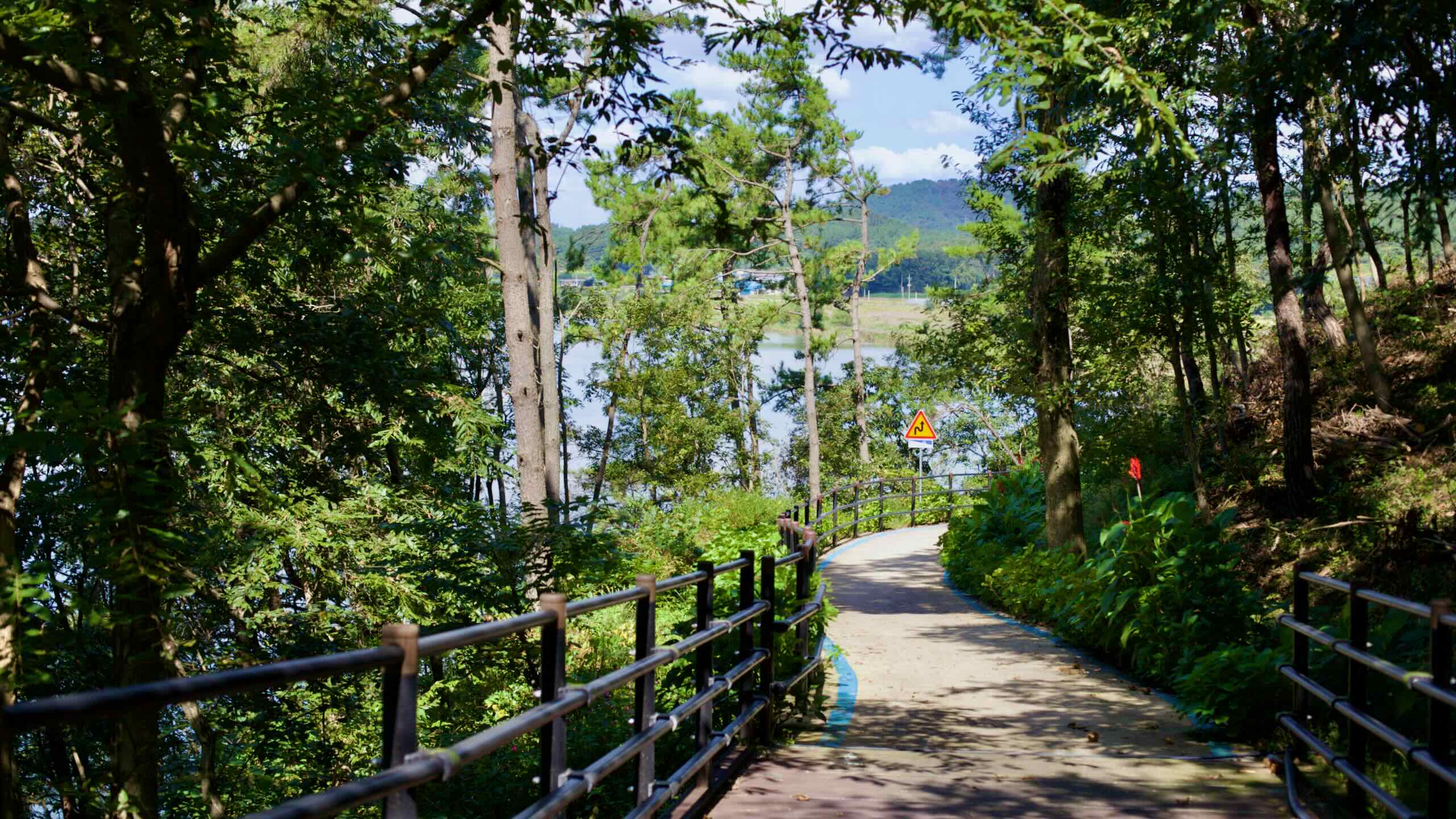
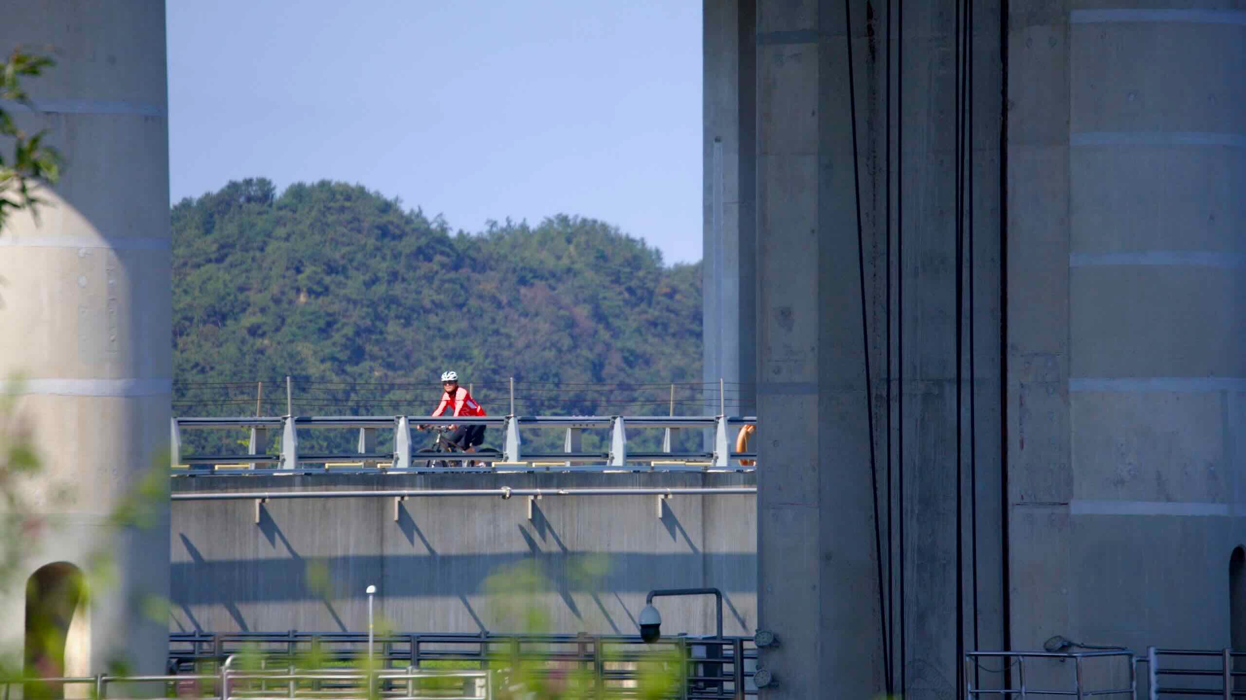
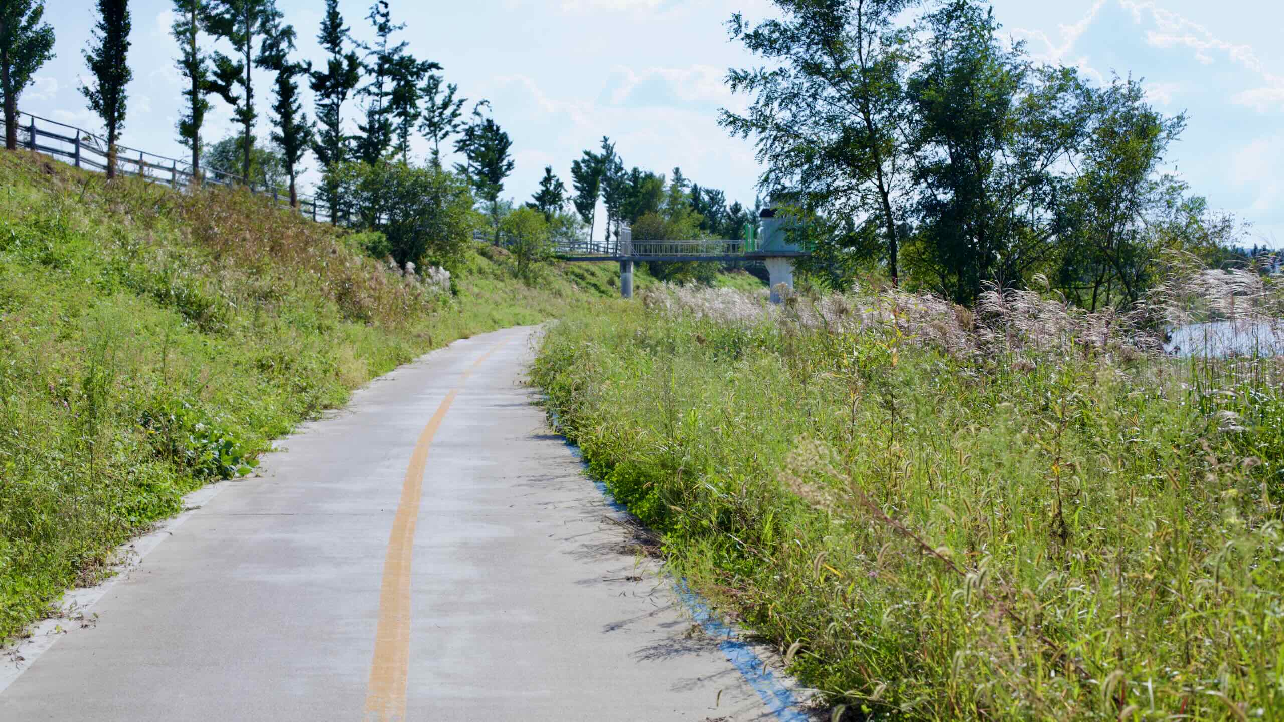
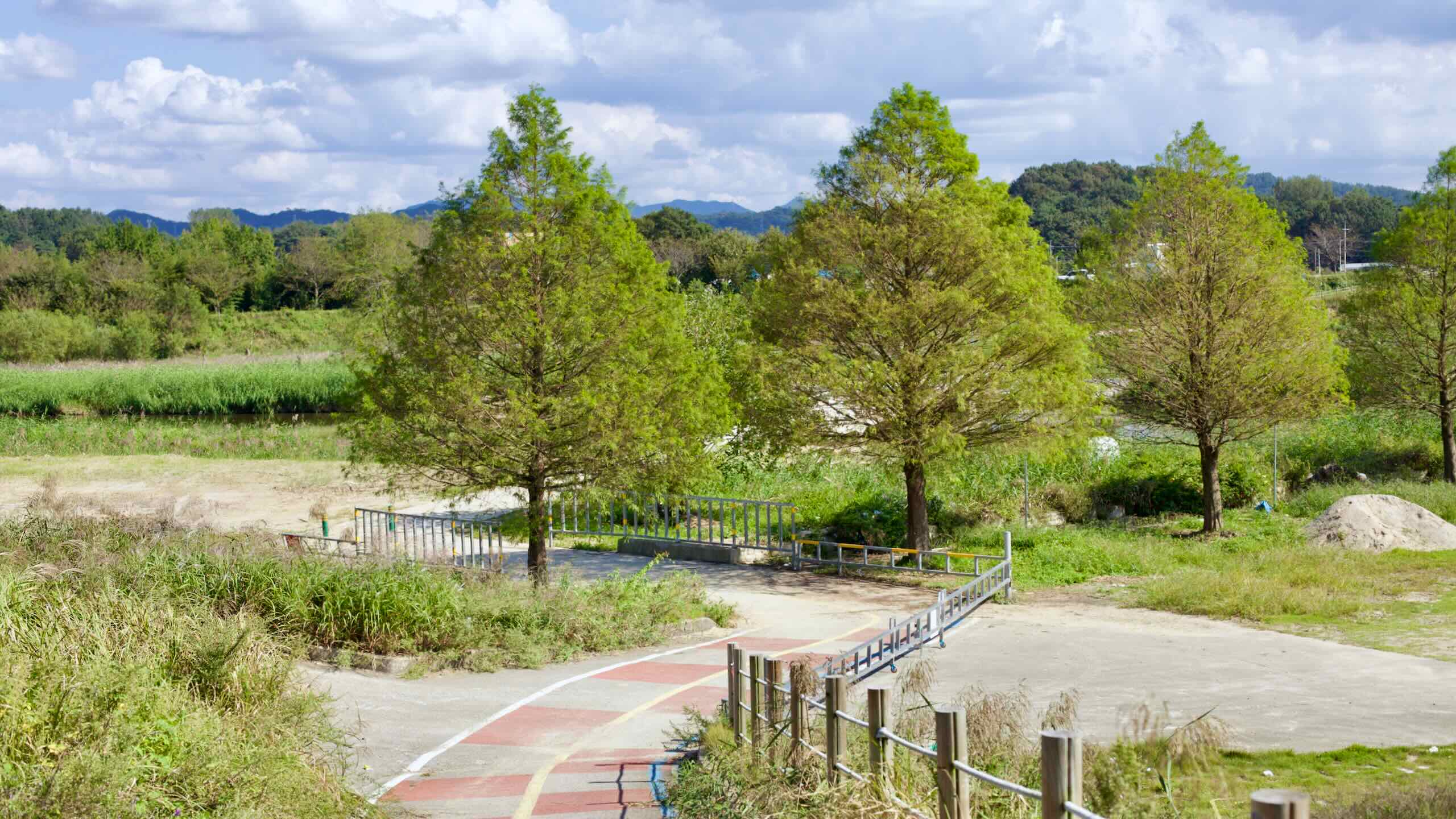
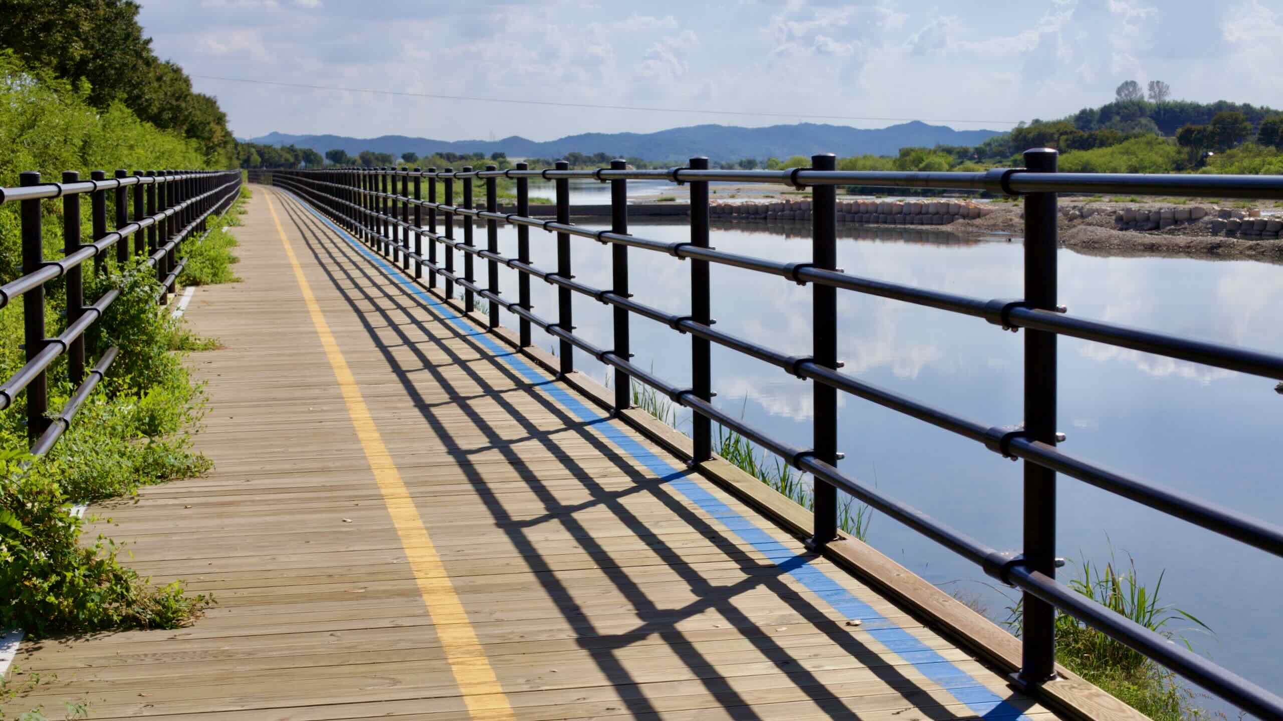
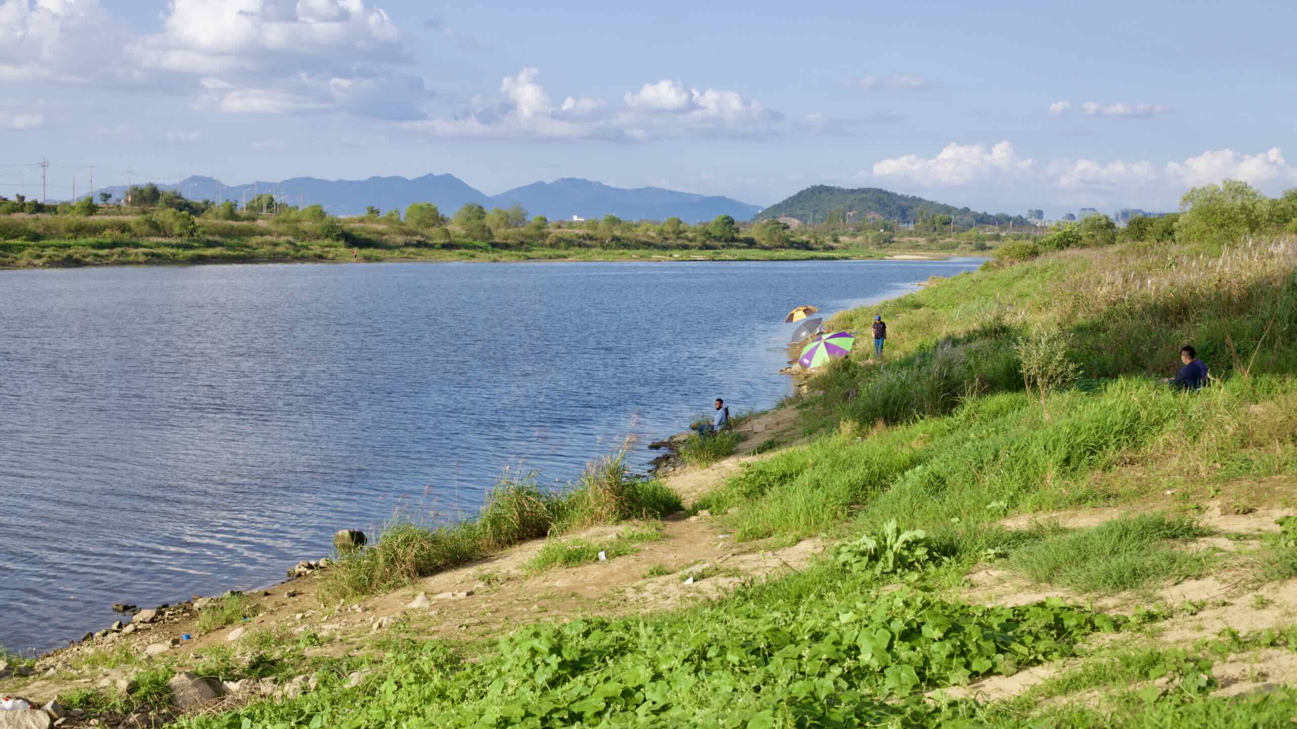
The Yeongsangang Bike Path is almost entirely paved. Most of the way, it follows dedicated bike paths on levee tops and through riverside parks, with clear separation from cars. You’ll spend long stretches on wide asphalt or concrete beside the Yeongsan River, plus the occasional boardwalk-style section skimming the edge of the waterway.
In rural areas, the course briefly uses low-traffic farm or village roads. Near Gaya Mountain and a few short bridges, you ride in shoulder lanes protected by guardrails or barriers, but these stretches are short and quickly return to the levee.
In cities like Gwangju, Naju, and Mokpo, the route becomes part of wider park promenades and multi-use paths shared with walkers and joggers.
You may encounter a short gravel section leading to the Damyang Dam Certification Center, but it can be avoided by riding along a parallel country road.
Aside from small detours or construction, you can expect a smooth, continuous paved surface from Damyang to the Yeongsan River Estuary Bank.
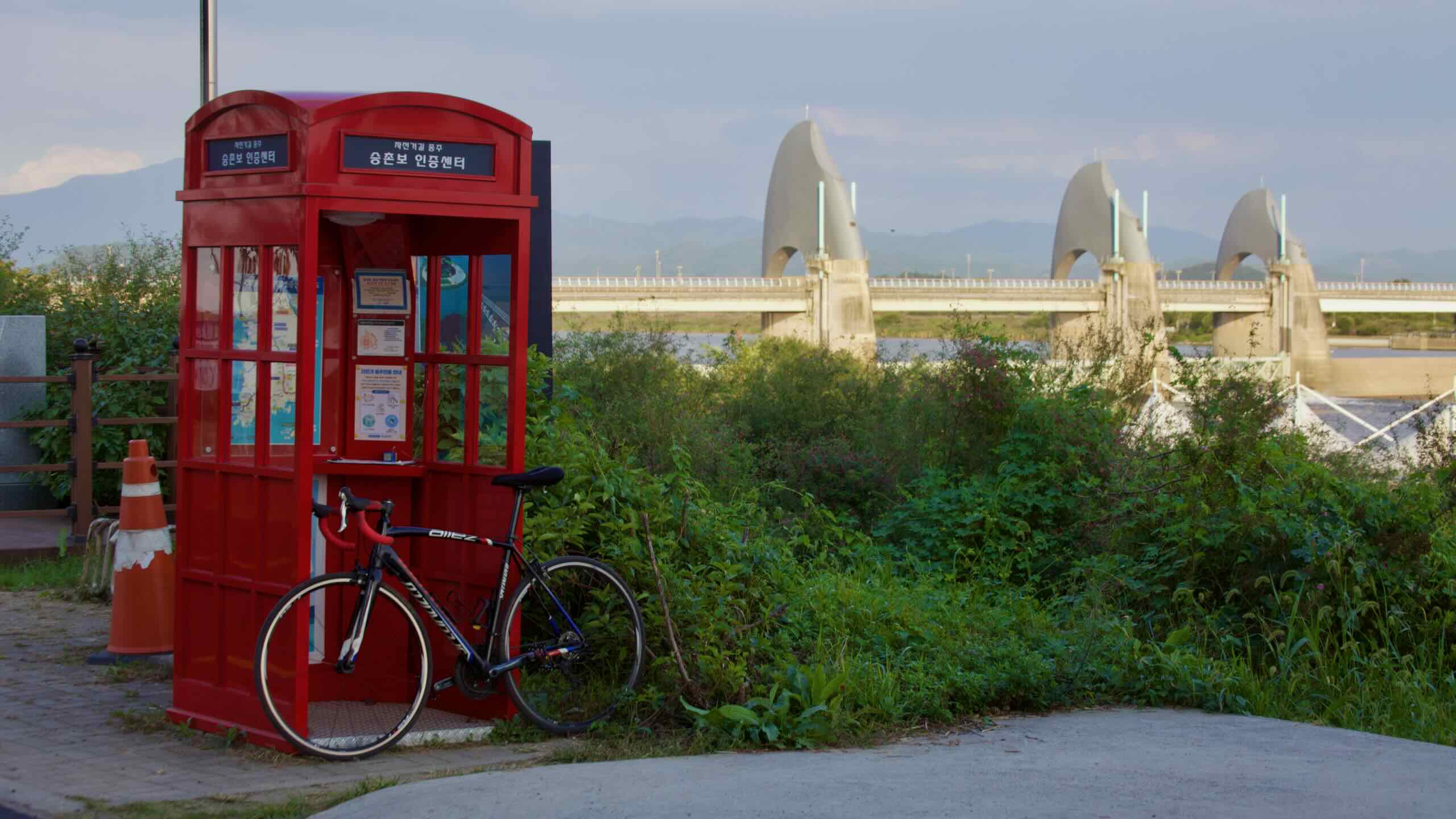
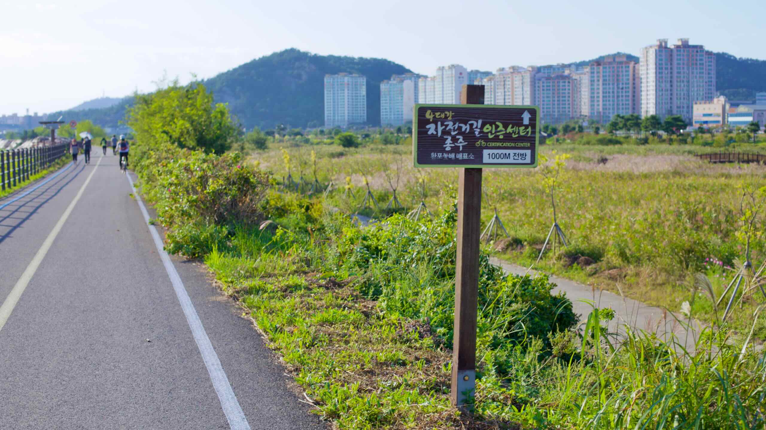
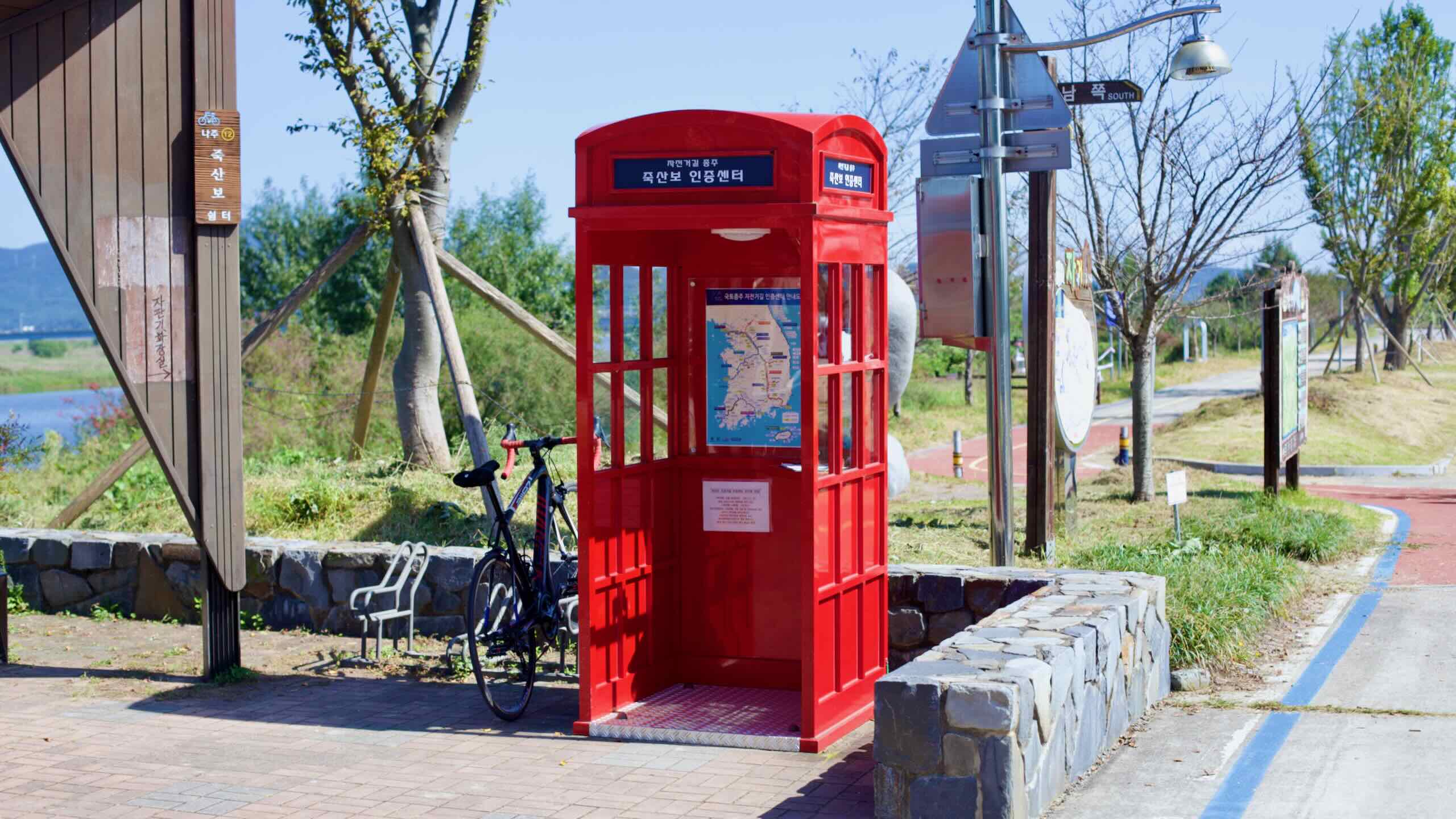
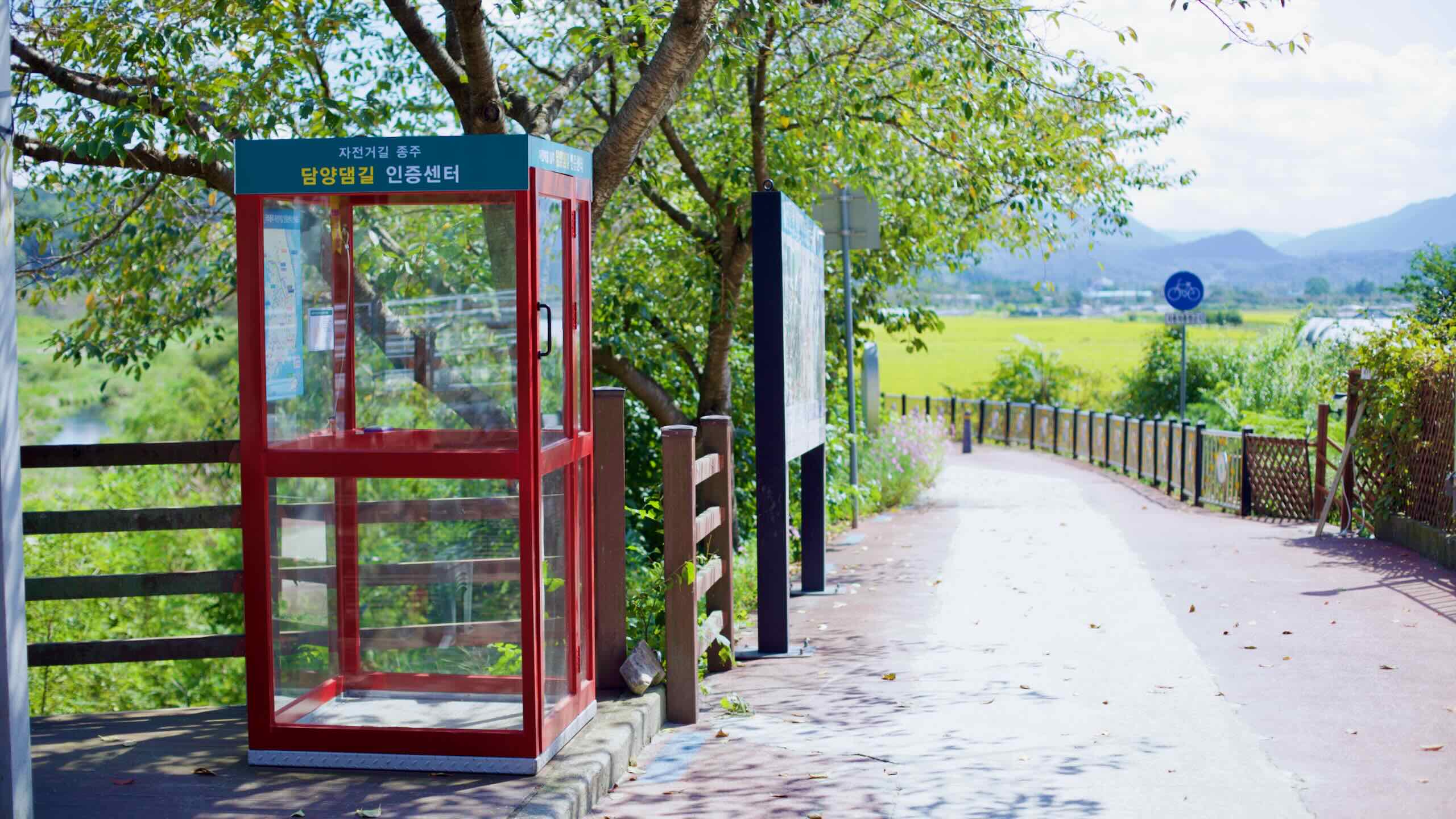
Collecting all of these stamps in your Bike Passport earns you the Yeongsangang Bicycle Path certificate. This certificate also counts as one of the four river routes required for the Four Rivers Certification and contributes toward the nationwide Grand Slam challenge, which rewards riders who collect every stamp in Korea’s Bike Certification System.
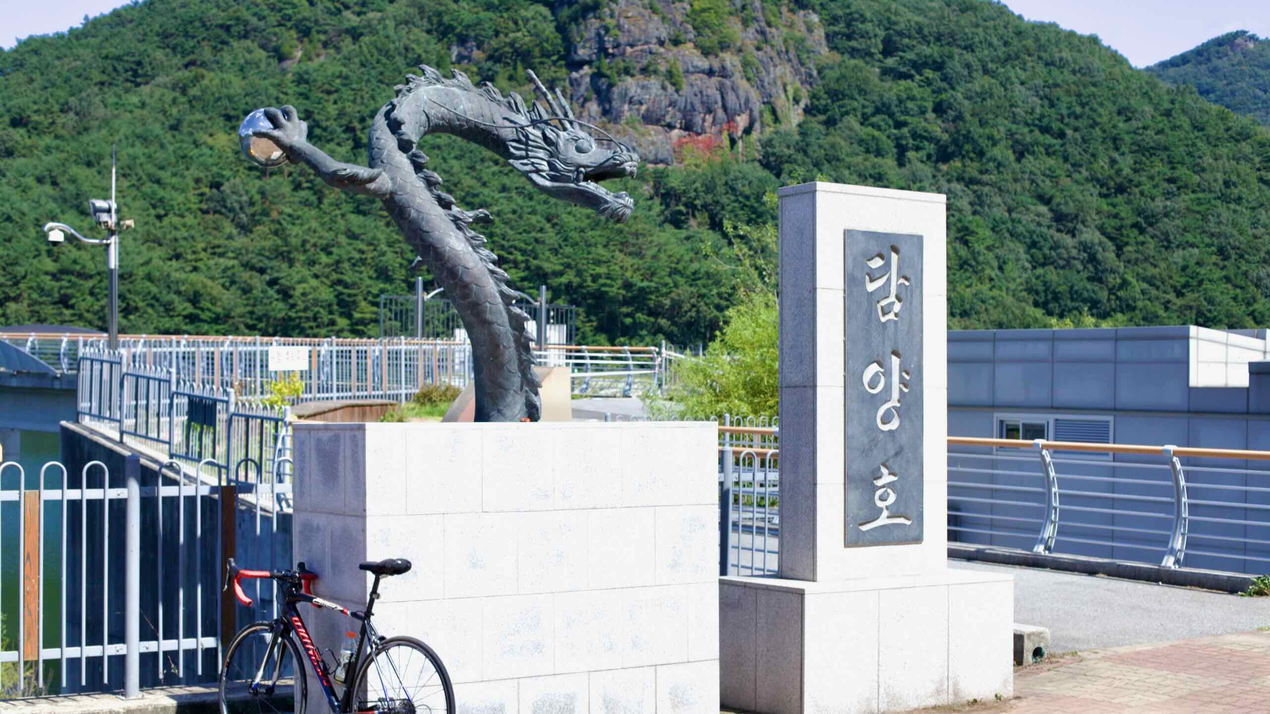
A bronze dragon statue overlooks Damyang Lake and Jeonggak Mountain.
Seomjin River Dam, located in Imsil County, is South Korea’s first multipurpose dam. Completed in 1965 after years of planning and interrupted construction, the dam represented a step forward in addressing Korea’s flood control, irrigation, and energy needs.
The concrete gravity dam, standing 64 meters tall and stretching 344 meters across, has become a resource for the region and a feat of engineering. It’s also a cultural hub and a popular starting point for cyclists embarking on the Seomjingang Bike Path.
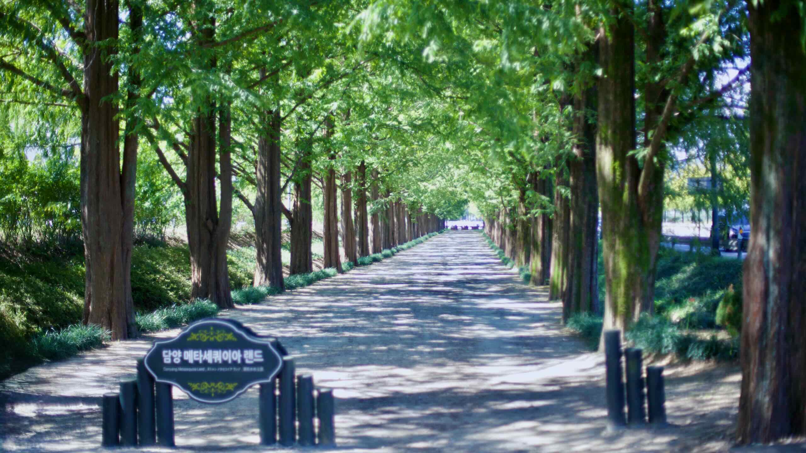
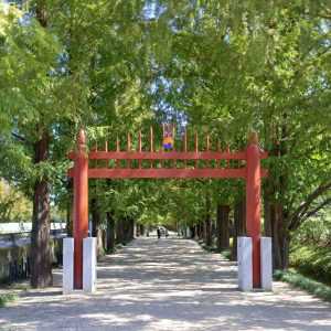
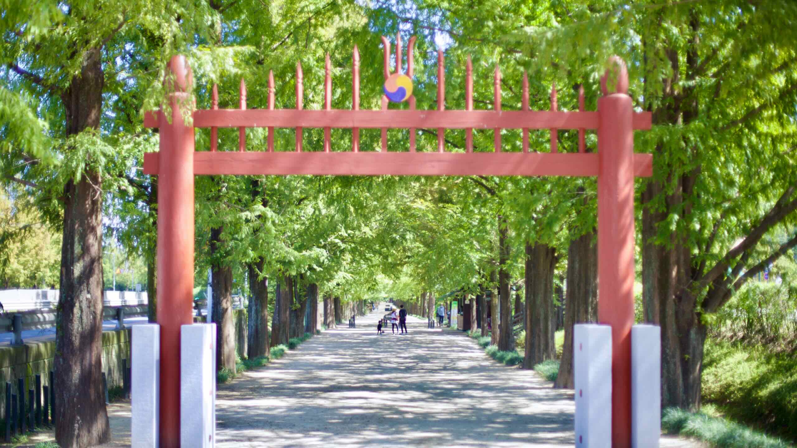
A red hongsalmun marks the entrance to scenic Metasequoia Road.
Metasequoia Road is a walking area in Damyang County, South Jeolla Province. Originally planted in the 1970s during a national roadside beautification project, the dirt walking road now stretches for over 8 kilometers, its towering Metasequoia trees forming a natural canopy that changes with the seasons.
The road’s aesthetic appeal extends beyond its beauty. The hit K-Drama, Winter Sonata (2002), gave the road cultural significance. Today, people recognize it as both a scenic spot and a symbol of Damyang’s commitment to preserving and enhancing its natural heritage.
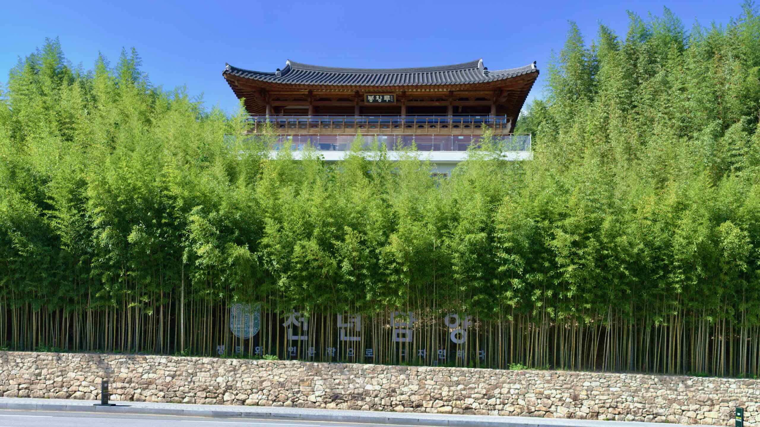
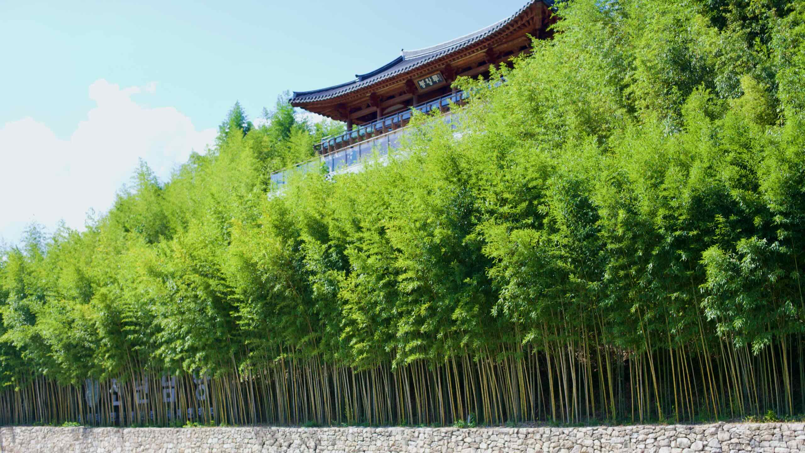
Traditional Korean pavilion stands atop the lush bamboo forest at Juknokwon.
Juknokwon Bamboo Forest lies on the north side of the Yeongsan River in downtown Damyang County. This bamboo garden is renowned for its immersive escape into nature and history.
Spanning over 31 hectares, its setting holds rustling of bamboo leaves and the cool shade, creating an experience known as jukrim-yok (죽림욕), or bamboo forest bathing. Established in 2003, Juknokwon quickly became a prime attraction in South Korea, welcoming over a countless number of visitors annually.
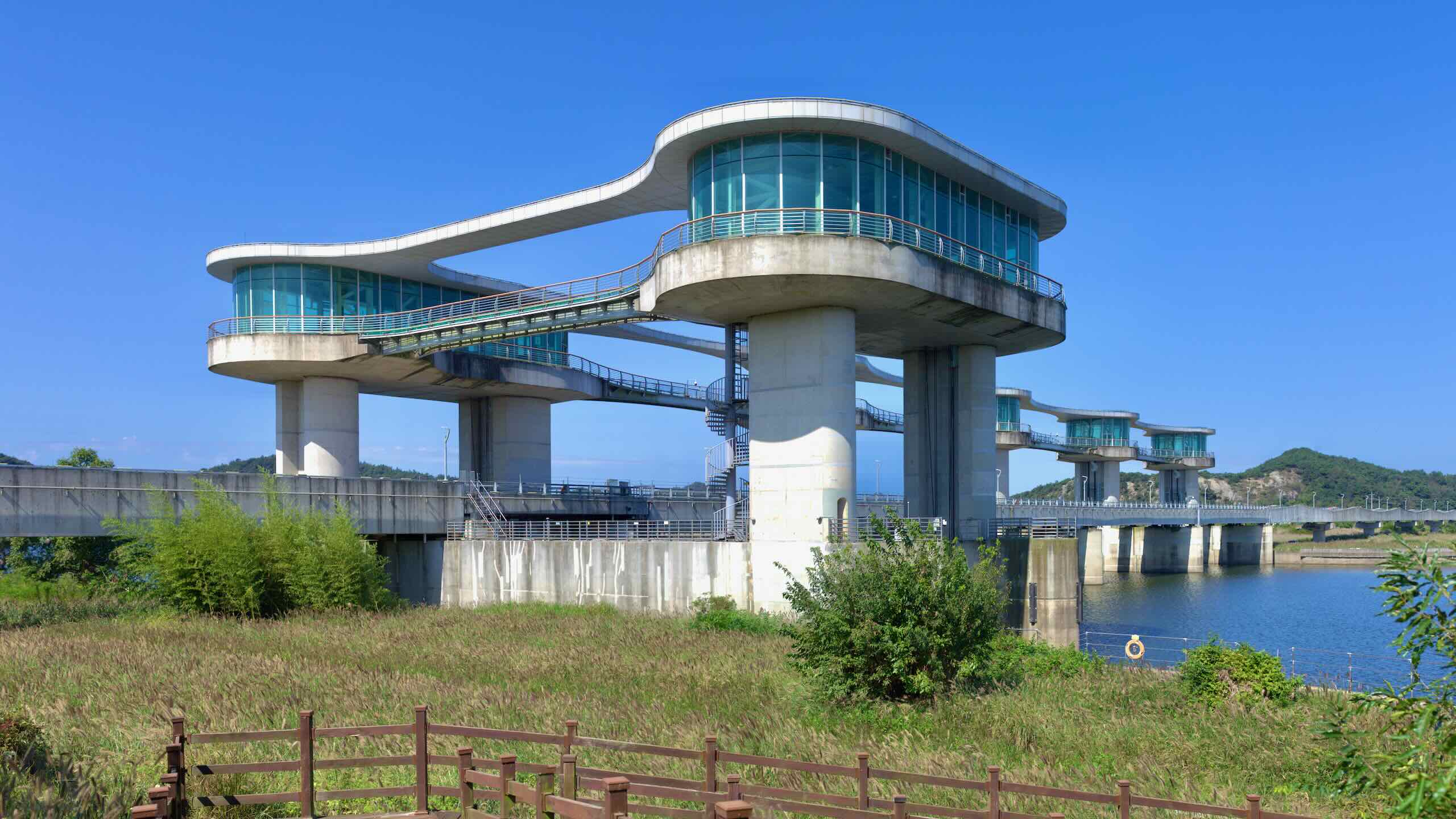
The weir’s design takes inspiration from grains of rice, symbolizing the agricultural cash crop of the nearby Naju Plain and representing growth and renewal for the Yeongsan River region.
The Yeongsan River (영산강;map) flows through North and South Jeolla Provinces, passing through Korea’s fourth largest city, Gwangju, before emptying into theYellow Sea at the southwestern tip of the Korean peninsula.
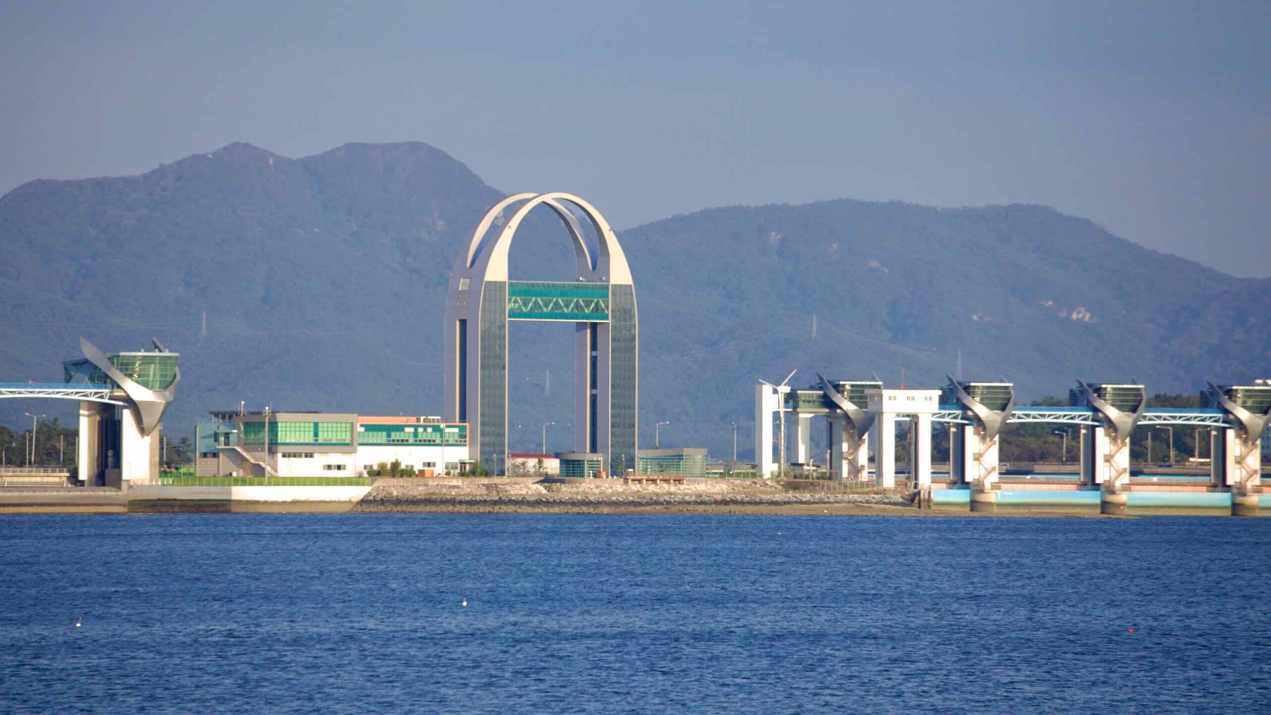
Despite being shorter than other major rivers, the Yeongsan River is important due to its geographic reach and utility. Historically a tidal river, its lower stretches were influenced by seawater until the construction of theYeongsangang Estuary Bank in 1981, which reshaped its flow and ecosystem.
The river’s historical significance is tied to its role as a transportation artery. Ports such asYeongsanpo in Naju were hubs of trade during theGoryeo (고려; 918 ~ 1392) andJoseon (대조선국; 1392 ~ 1897) Dynasties, facilitating the movement of goods, including grain and seafood.
The Yeongsangang Bike Path runs down Korea’s southwest end of the peninsula. Nearby intercity bus terminals, rail lines, and Gwangju’s subway system give riders three main ways to reach the route with a bike: intercity buses, subways, and trains.
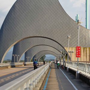
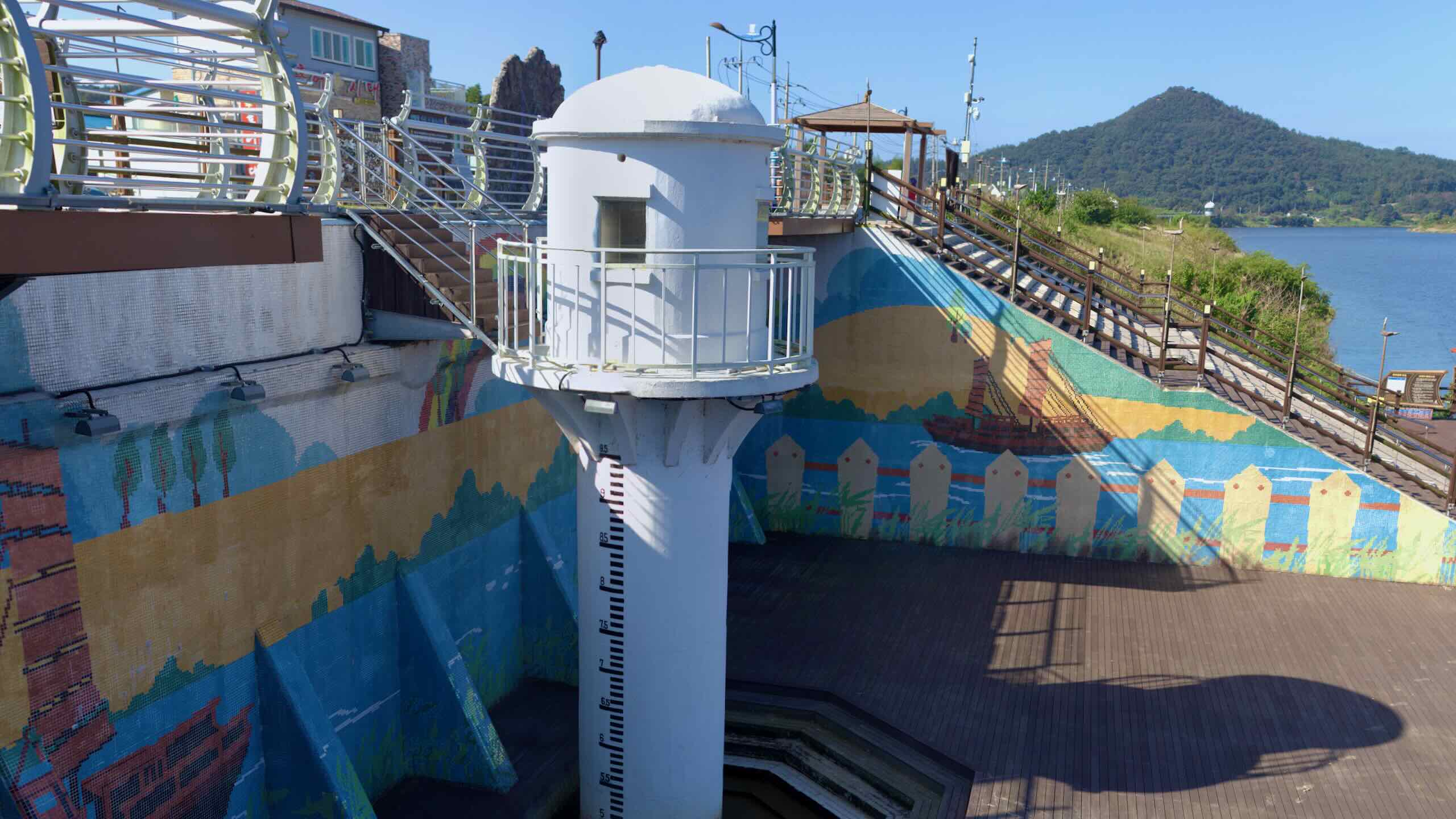
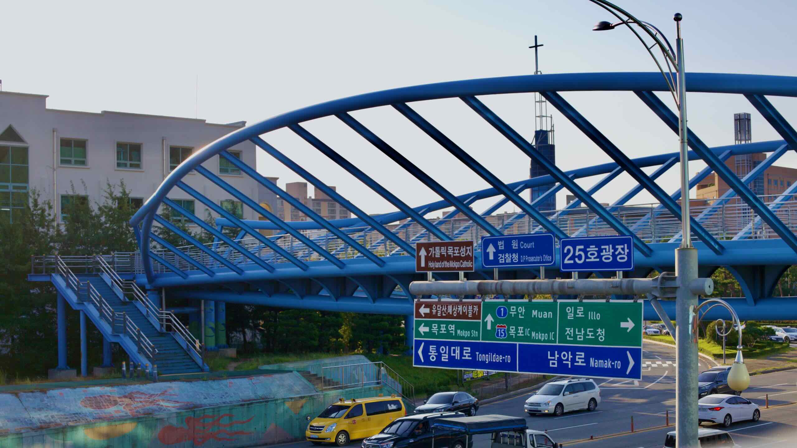
A blue pedestrian bridge crosses Mokpo’s busy road toward Namak.
Intercity Bus
Both the start and end points of the Yeongsangang Bike Path sit within easy riding distance of major intercity bus terminals, with additional terminals in the middle of the route. Buses offer the most flexible option for getting to and from the path.
Gwangju Metropolitan City runs a single subway line that crosses under the Yeongsan River near the bike path. It can help shorten city approaches, though riders with full-size bikes may find it less useful than buses or trains because of bicycle rules and transfers.
The Honam Line (호남선; map), named after the Honam Plains where the Yeongsan River flows, runs southwest from Seoul Station (서울역; map) to Mokpo Station (목포역; map), near the end of the route. Several stations sit within a short ride of the bike path, making it easy to hop on or off along the way.