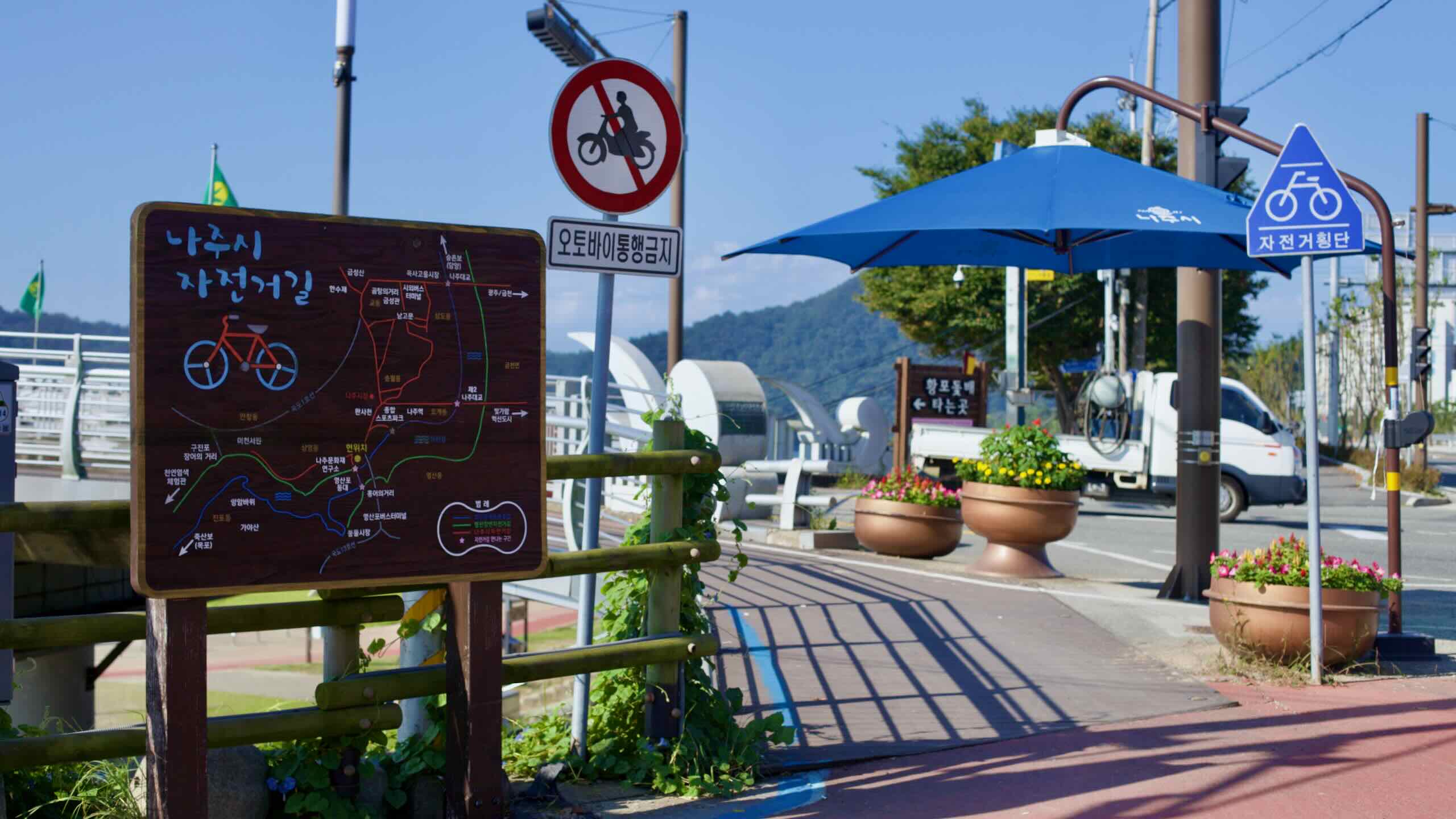
The route passes several sights, including an inland port with a lighthouse and traditional sailboats, a town known for pungent dishes, a huge lotus pond, and an observation tower overlooking a teardrop bend in the Yeongsan River.
Pass out of Gwangju and into the lower half of South Jeolla Province. Finish at an ancient inland port with old trade vessels, a lighthouse, and a famously pungent local specialty.
Naju’s history begins in the Mahan-era chiefdoms (194 BCE–500 CE), with clusters of burial mounds from that period. The city gained prominence during the Goryeo (918–1392) and Joseon (1392–1897) Dynasties. Its position midway down the Yeongsan River, which cuts through the fertile Honam Plains, made Naju a center of trade and government in southwest Korea.
In fact, break down the name “Jeolla” and you’ll see why Naju matters:
“Jeo-” comes from Jeonju City (전주시; map), the current capital of North Jeolla Province.
“-la” derives from an older pronunciation linked to Naju.
Although the provincial capital moved to Gwangju in 1895, Naju still holds significant historical sites and—like many Jeolla cities—is known for local delicacies such as gomtang, fermented skate, and freshwater eel.
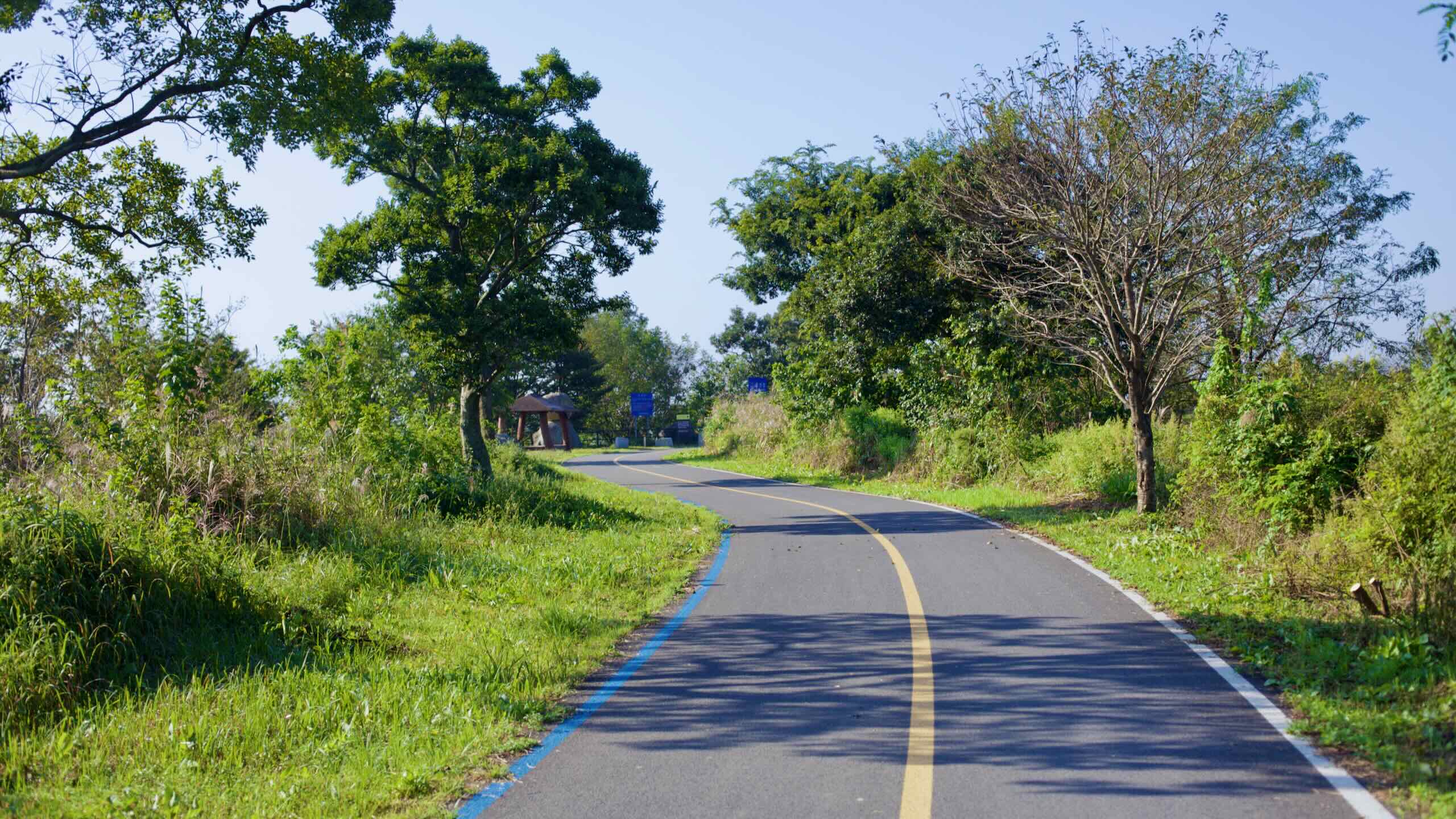
Four Major Rivers Green Belt
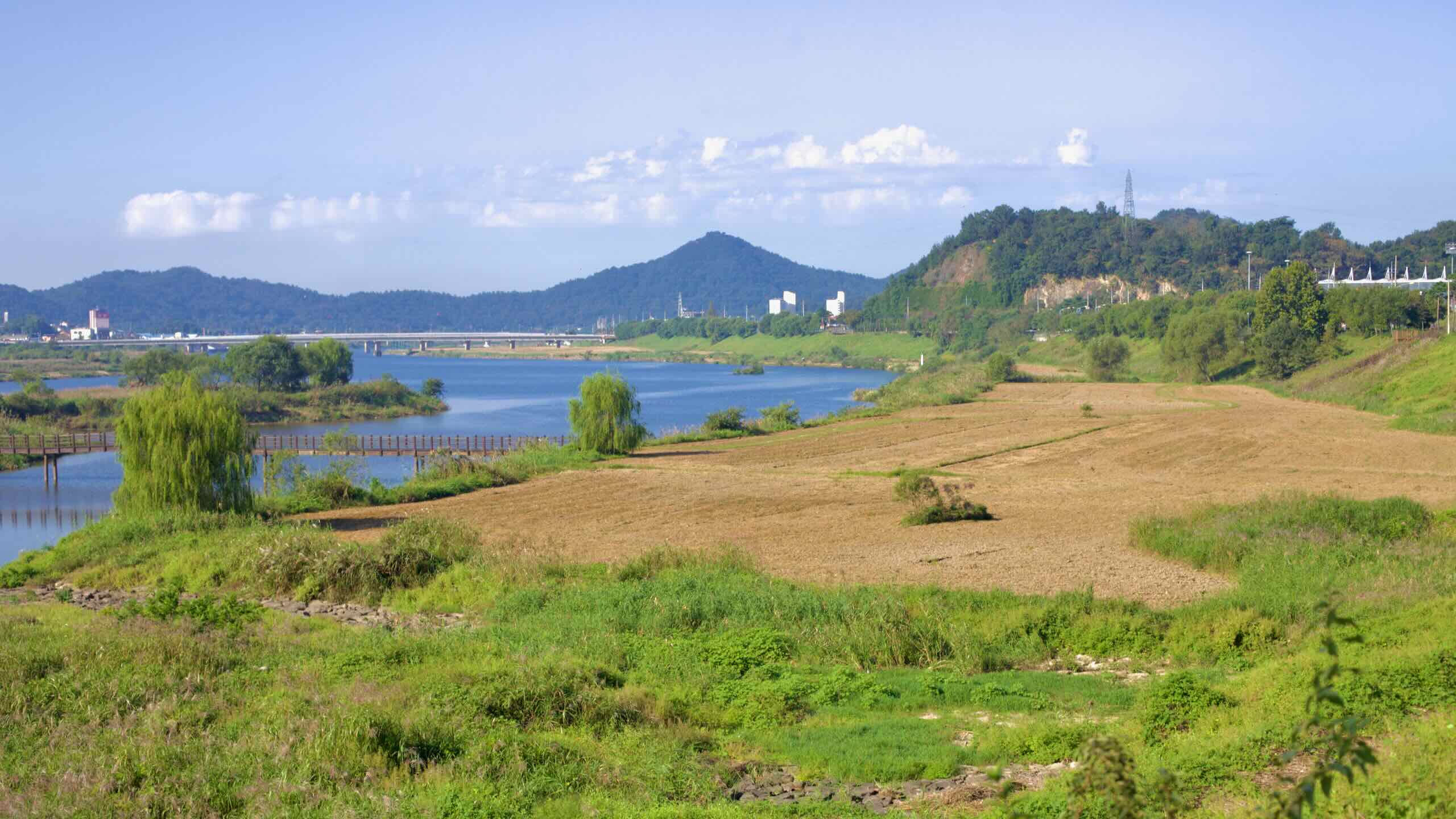
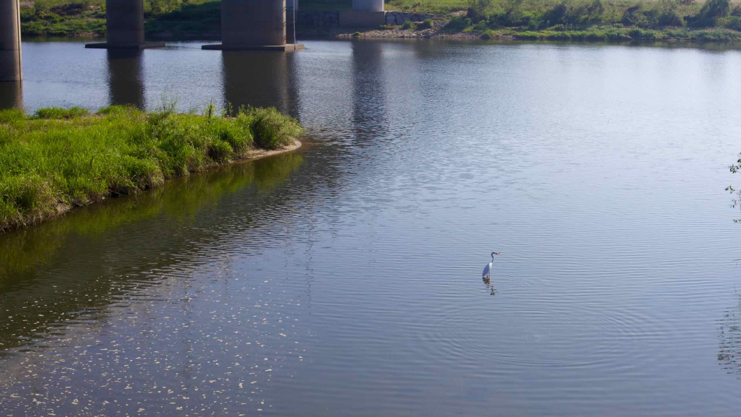
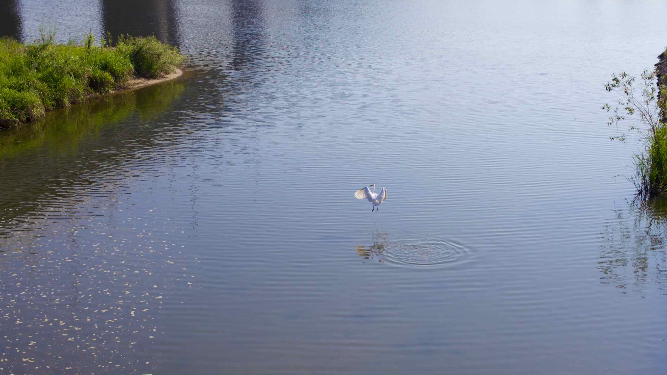
Continue away from Seungchon Weir along the north bank of the Yeongsan River. Beside the path is the Four Major Rivers Green Belt (4대강녹지 잔디마당; map), a protected waterside zone where wild grasses, aquatic plants, and wildlife can thrive free from development.
Veer up Jangseong Stream (장성천; map), a small tributary, and cross a bridge. Then descend along the riverside embankment, rolling past rows of greenhouses.
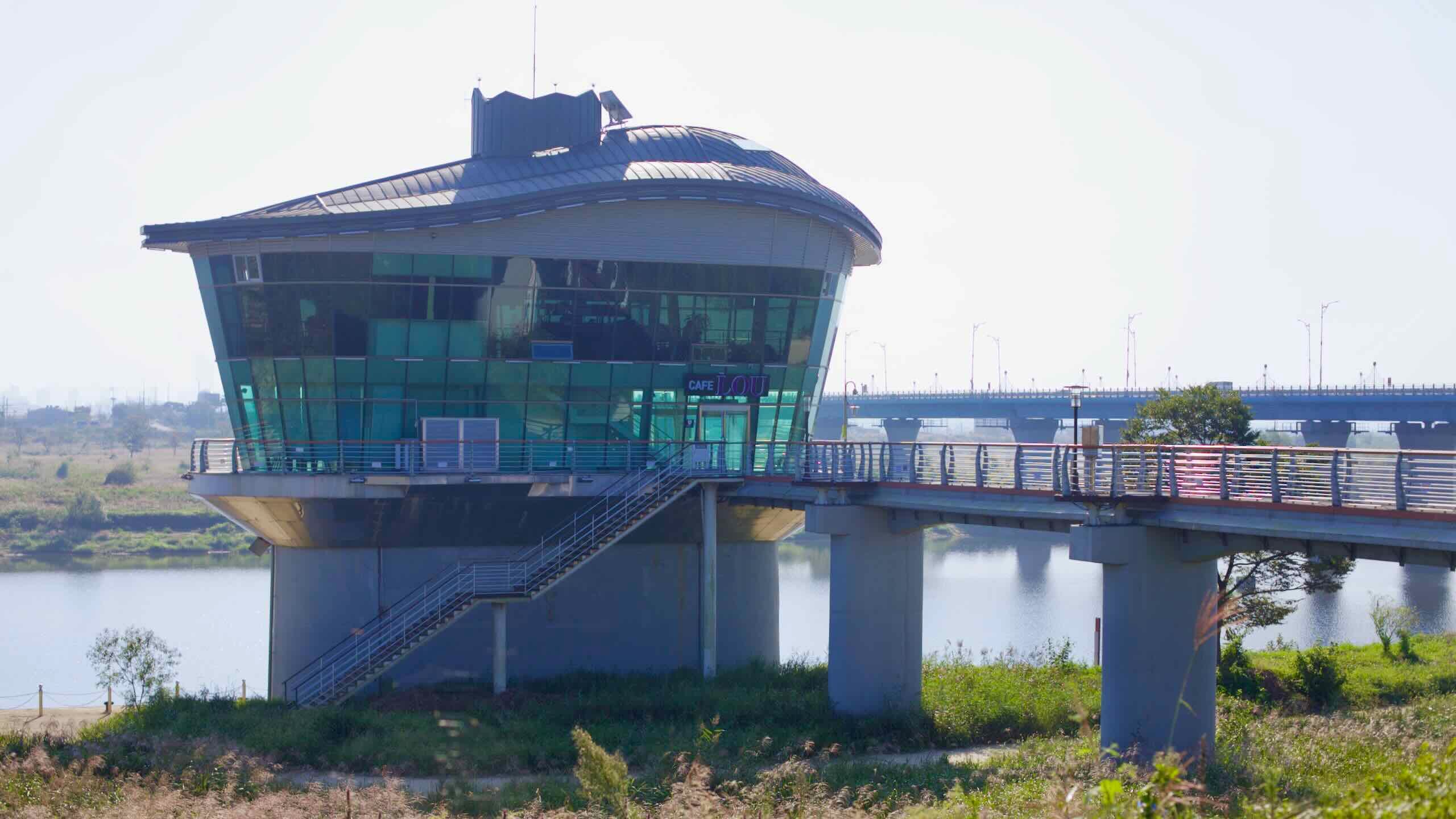
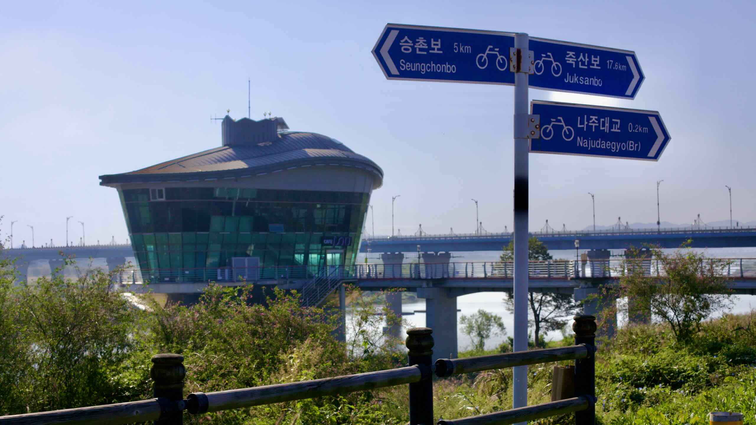
Just before you reach Naju Grand Bridge (나주대교; map), look for Cafe the View (카페 더뷰; map), a coffee shop and observatory in a round glass building beside the river.
Interested in a quick dose of Naju history? This is the perfect spot to duck into the café’s observatory and slip off the Yeongsan River path for a short detour into Naju—1.3 kilometers, about 5 minutes (directions).
What’s in this northern slice of downtown Naju? Let’s find out.
Geumseong Pavilion (금성관; map) — Naju’s former state guesthouse sits inside the old walled town. During the Joseon Dynasty it hosted royal-tablet rites and official banquets. Built in the late 15th century, altered during the colonial period, and restored in 1977, Geumseonggwan is now a designated national treasure. The complex centers on a broad main hall with flanking wings.
Naju Gomtang Street (나주곰탕; map) — Restaurants serving Naju’s signature beef soup line “Gomtang Street” near Geumseong Pavilion. Naju’s style is lighter and cleaner than the milky bone broths found elsewhere: clear stock, generous meat. Stalwarts include Hayanjip (하얀집; map; roots tracing to a 1910 market shop) and Noanjip (노안집; map; open since the 1960s). An easy lunch between sights.
Naju Anti-Japanese Student Movement Site (구 금남금융조합; map) — This early-20th-century office building stands near Geumseong Pavilion. It marks a student rally on November 27, 1929, linked to the broader Gwangju Student Independence Movement against Japanese rule.
Naju Bus Terminal (나주버스터미널; map) — The city’s main hub, with direct intercity and express services to destinations across Korea, including Seoul and Busan.
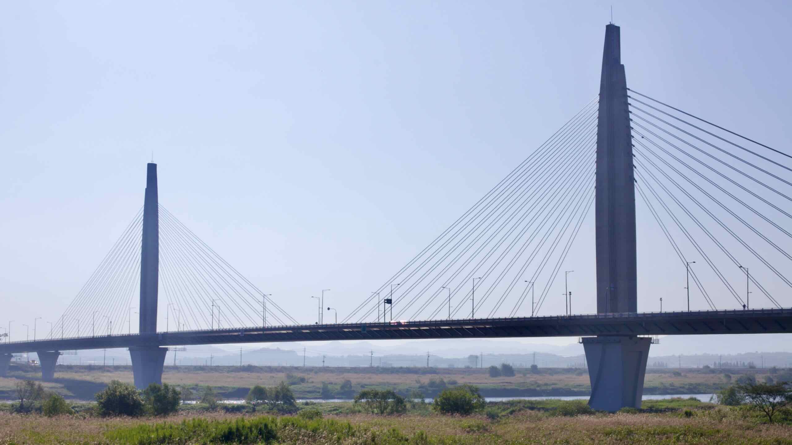
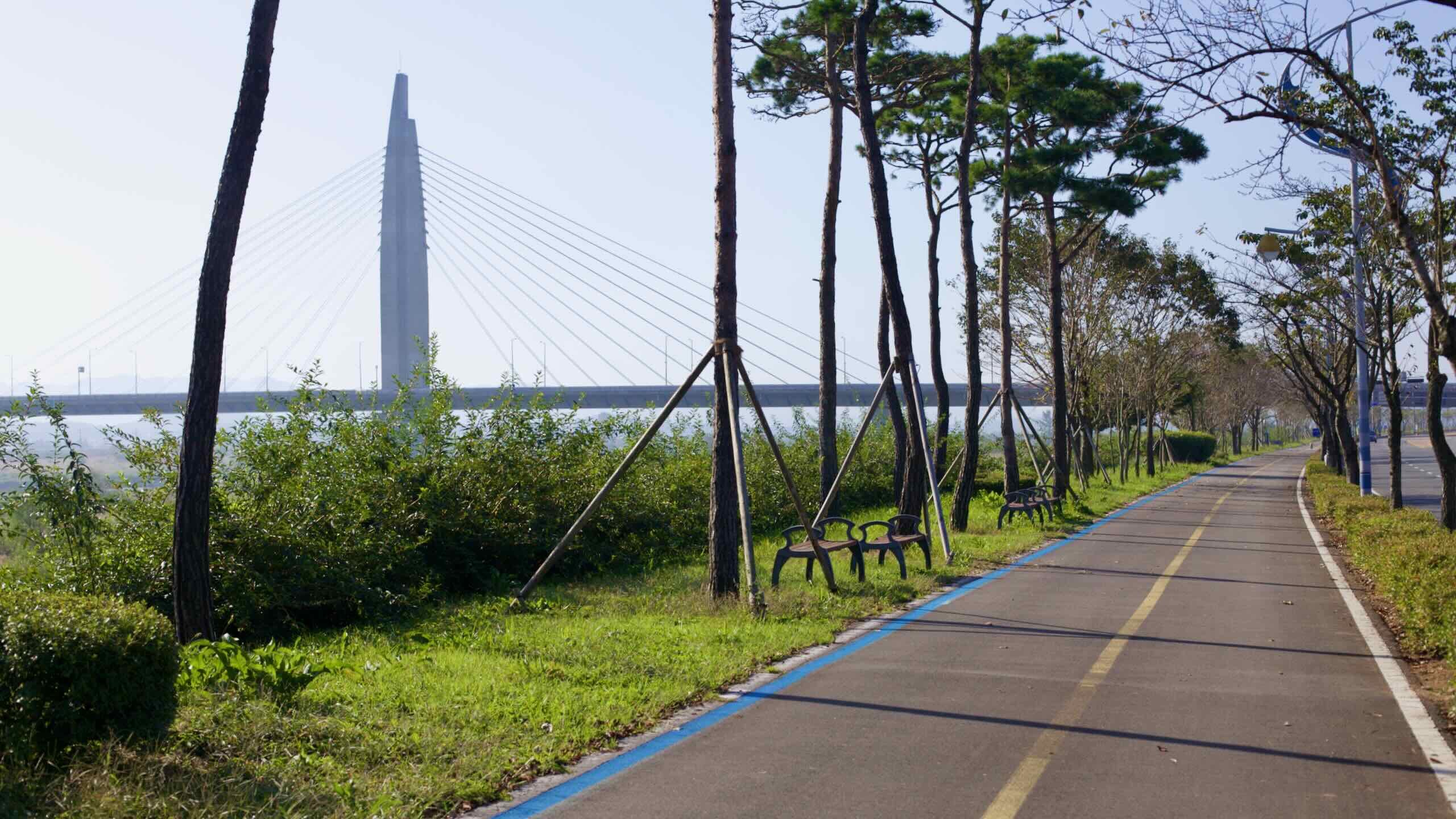
Stay with the river as it bends west. Pass Bitgaram Bridge (빛가람대교; map), a cable-stayed span completed around 2013, roughly 660 meters long.
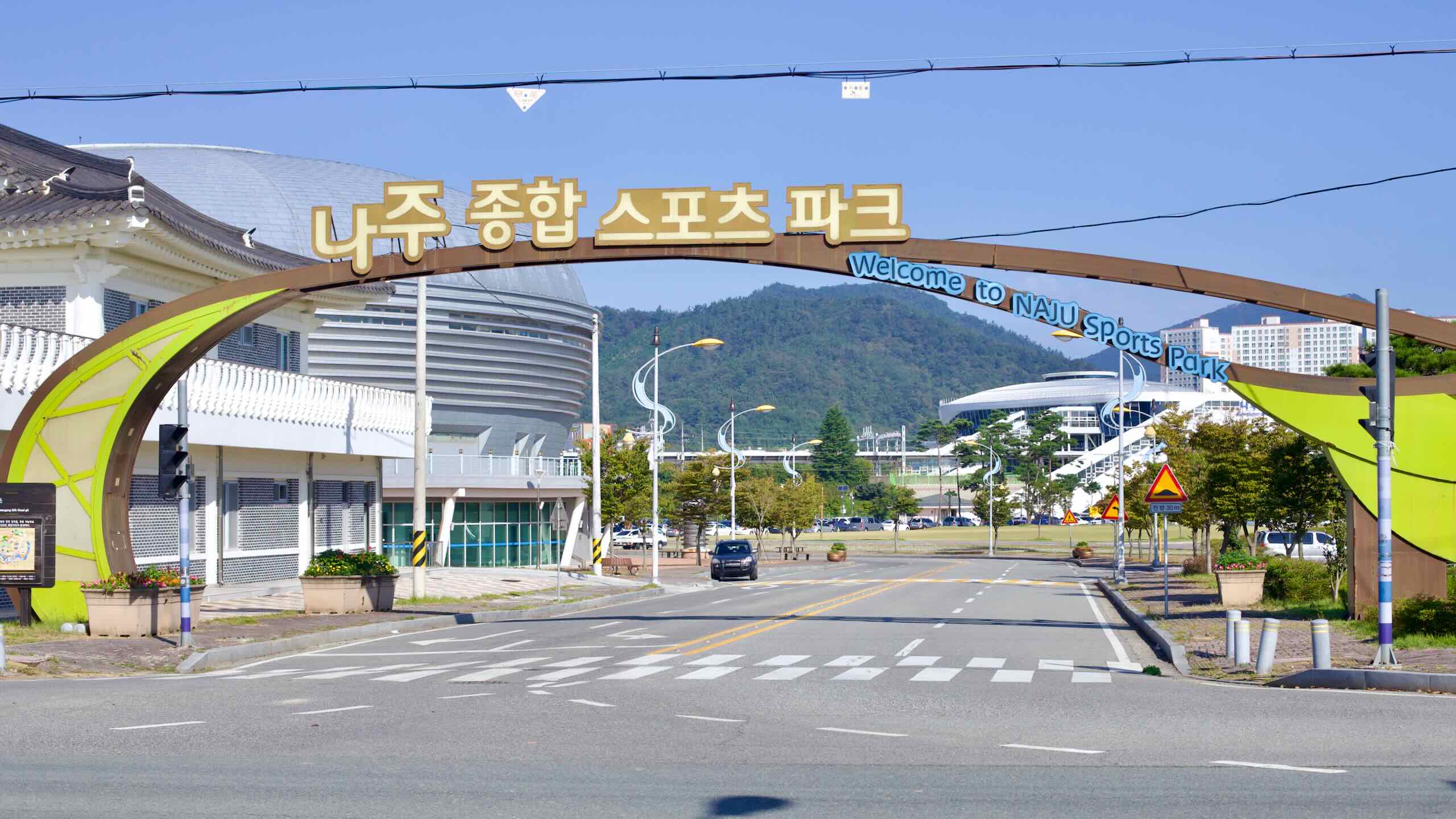
Continue into downtown Naju. On the north bank, Yeongsan River Dunchi Sports Park (영산강둔치체육공원; map) spreads out with soccer fields, basketball courts, an inline-skate track, and more. Seasonal plantings blanket the flats—rapeseed and poppies in spring, broad cosmos fields in fall.
Ahead, Yeongsan Bridge (영산교; map; road view) gives you two choices:
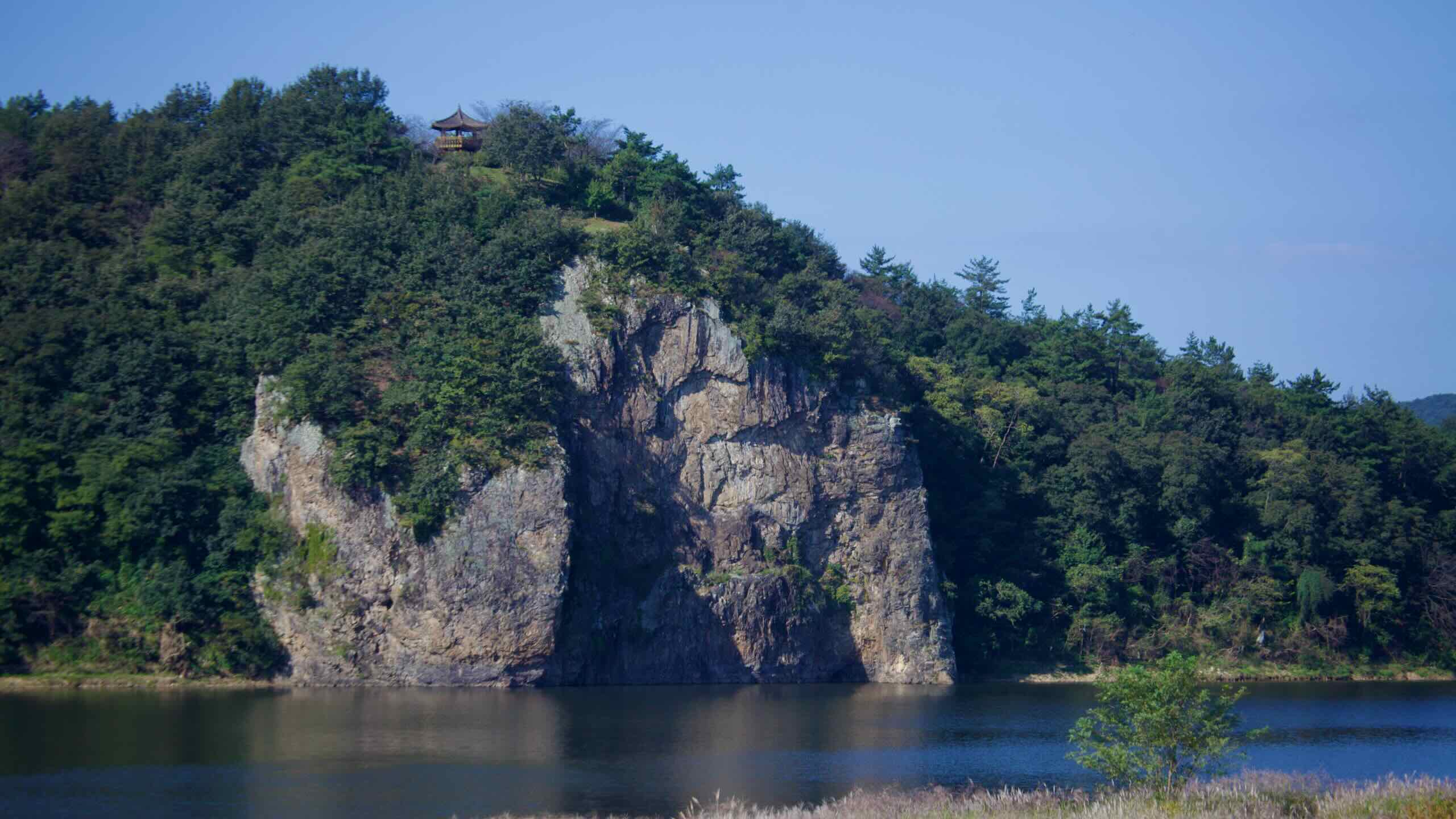
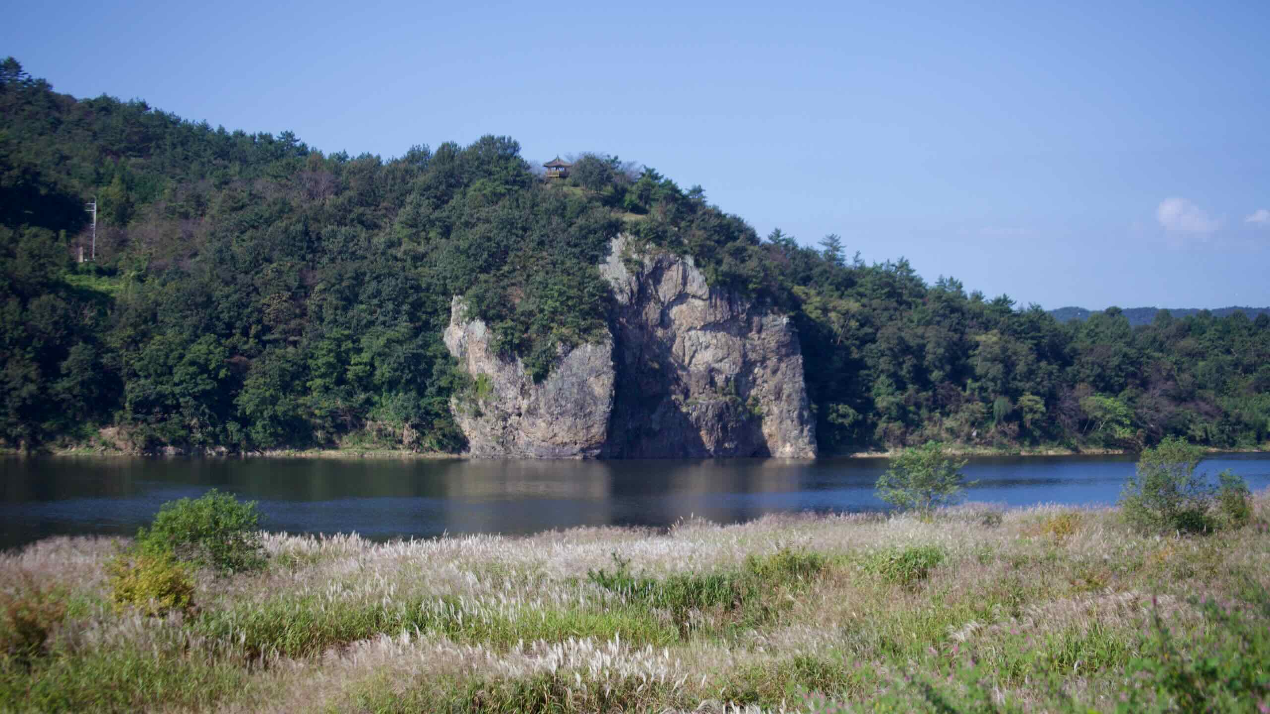
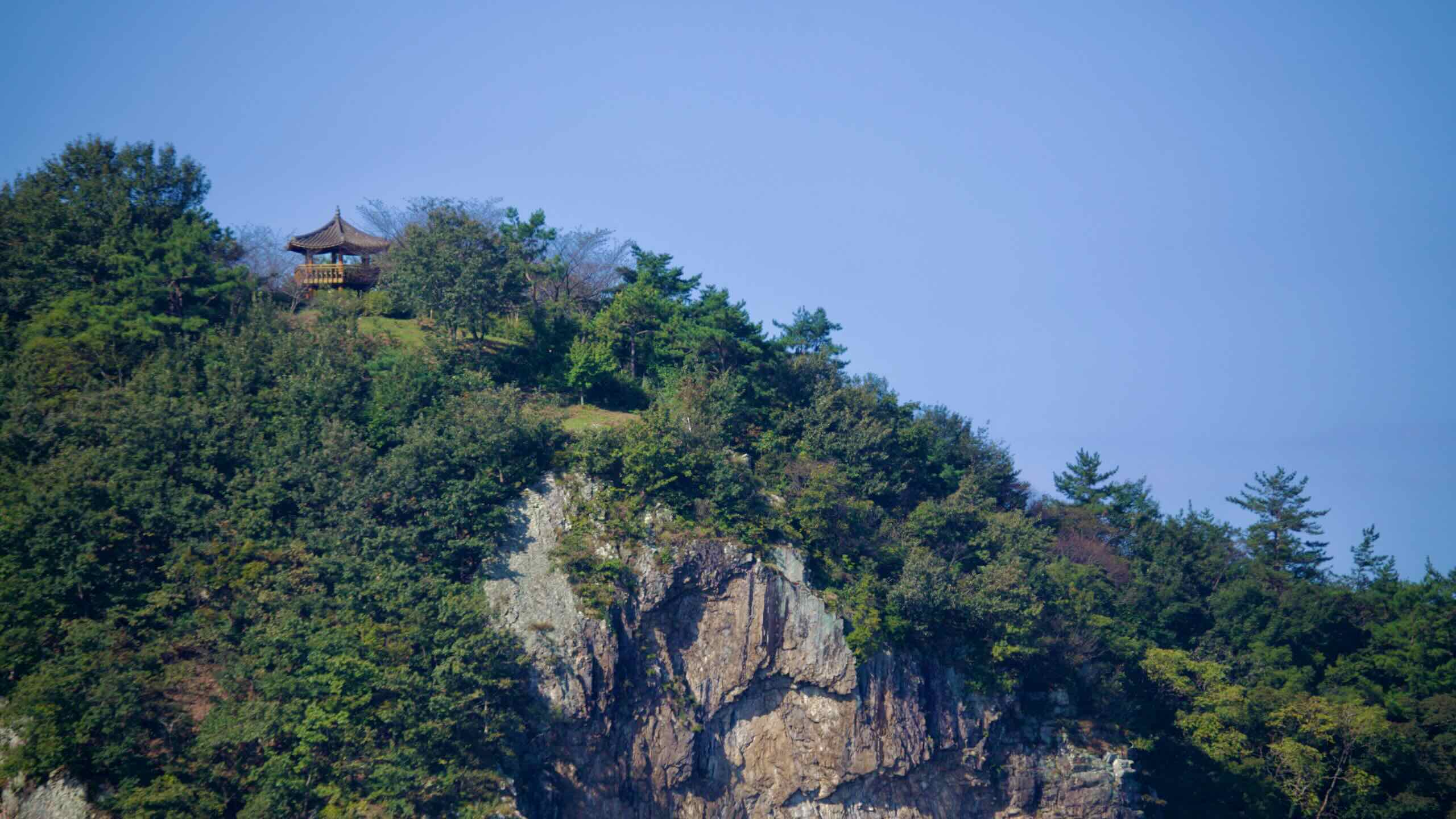
Follow the riverside road. As it begins to curve, glance across the waterway (road view). That sheer cliff is Angam Rock (앙암바위; map), rising about 56 meters.
Local legend says that during the Three Kingdoms era (57 BCE–668 CE) a monk found two abandoned children near the rock and raised them as siblings, naming the boy Abisa and the girl Arangsa.
As they grew, they fell in love. When they confessed, the monk revealed they were unrelated—but villagers and the monk still forbade the match. Unable to accept the separation, the pair leapt from Angam Rock into the Yeongsan River.
The riverside offers the best view, but you can also climb stairs on the south bank to Angam Pavilion (앙암정; map) atop the cliff for panoramic river views.
Naju Eel
One more quick distraction: continue west along the north bank to tiny Gujinpo (구진포; map).
This was once a ferry landing where brackish and fresh waters meet. The landing faded, but an “eel street” around Gujinpo Samgeori endures, with seven or eight long-running restaurants serving a local specialty—freshwater eel. Local lore credits the flavor to eels feeding on loach.
Note: The north-bank route from here to Juksan Weir is the “official” path. To simplify bridge crossings, this guide follows the south bank instead.
Yeongsan Bridge
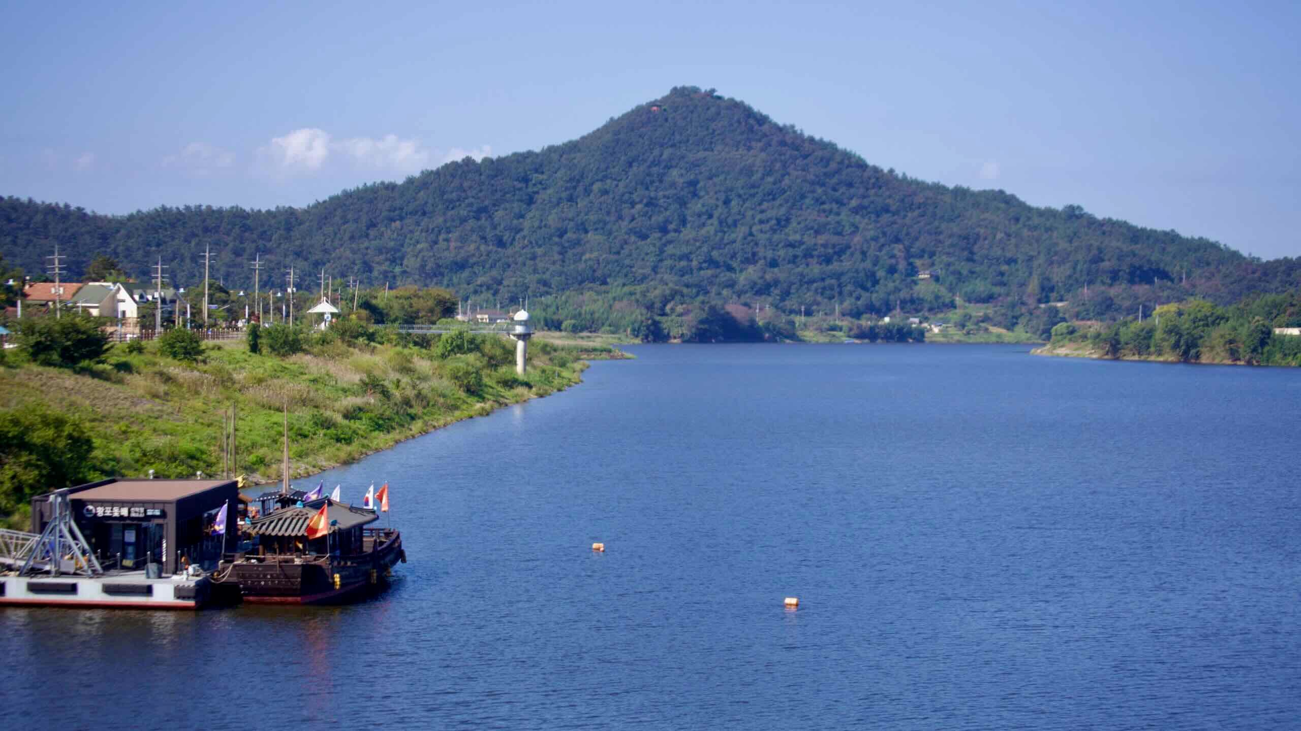
Now, let’s head back to Yeongsan Bridge (map). Cross the Yeongsan River to enter the southern half of downtown Naju. As you ride over, note the white lighthouse beside the river—that’s Yeongsan Port Lighthouse, Korea’s only inland lighthouse and a highlight of the Yeongsangang Bike Path.
Yeongsan Port, nestled along the Yeongsan River in downtown Naju City, is Korea’s only inland harbor. During the Joseon Dynasty (1392–1897), it served as a logistical hub—a collection point for taxes and a distribution center for agricultural goods across the Honam region. The port sat at a key juncture on the Yeongsan River’s transport network, where rice and other cash crops flowed downstream.
Although its role diminished with the rise of trains, automobiles, and airplanes, Yeongsan Port remains a lively landmark, featuring a riverside lighthouse, traditional Hwangpo sailboat tours, and nearby restaurants serving the area’s famed fermented skate (stingray). The Yeongsan Port Lighthouse was constructed in 1915 during the Japanese colonial period to aid inland navigation and monitor water levels.
South of the port lies Hongeo Street, renowned for hongeo-hoe, or fermented skate. Famous for its sharp, ammonia-rich aroma—often compared to a septic tank—the dish holds a special place in Korean culinary heritage, particularly in Naju, where it’s a point of local pride.
Before continuing down the Yeongsangang Bike Path, take another short detour—this time into Naju’s southern reaches.
Along the southern waterfront, near the skate statues that mark the pungent-food district, you’ll find Japanese-era warehouses and houses dating to the occupation of Korea (1910–1945). Explore:
Yeongsanpo Port Warehouses (영산포 창고) — Large riverfront sheds where shipments of rice from the Honam fields were stored at this uppermost navigable port before being sent down to Mokpo, out to the Yellow Sea, and on to Japan. These buildings aren’t designated heritage sites, but they help illustrate the scope of Japan’s brutal occupation.
Japanese Landlord’s House (일본인지주가옥; map) — The former residence of Kurozumi Itaro, one of Yeongsanpo’s largest landlords during the colonial era. Built in the 1930s in a Japanese domestic style with some Western elements, it was later purchased by Naju City and restored for public and cultural use.
Oriental Development Company Document Repository (동양척식주식회사 문서고·영산나루; map) — A red-brick storehouse built circa 1910 for the Oriental Development Company. After the office moved to Mokpo in 1920, the depot remained. Today it operates as “Yeongsannaru,” a culture-and-café space noted for its courtyard and a 250-year-old hackberry tree.