

Economy

From the 1960s to the 2000s, Seoul’s economic fortunes accelerated. Industries grew. Towers rose. A middle class amassed.
However, Seoul swelled to capacity. And by the 1990s, land and apartments became unaffordable. Residents leaked into Gyeonggi Province’s satellite cities, like Goyang (고양시; map) and Suwon (수원시; map) ballooned.
In 2010, Hanam City held around 100,000 citizens. Seeing fleeing Seoulites, the city developed several districts with new apartments and commercial areas. By 2020, the city tripled its residents to almost 300,000.

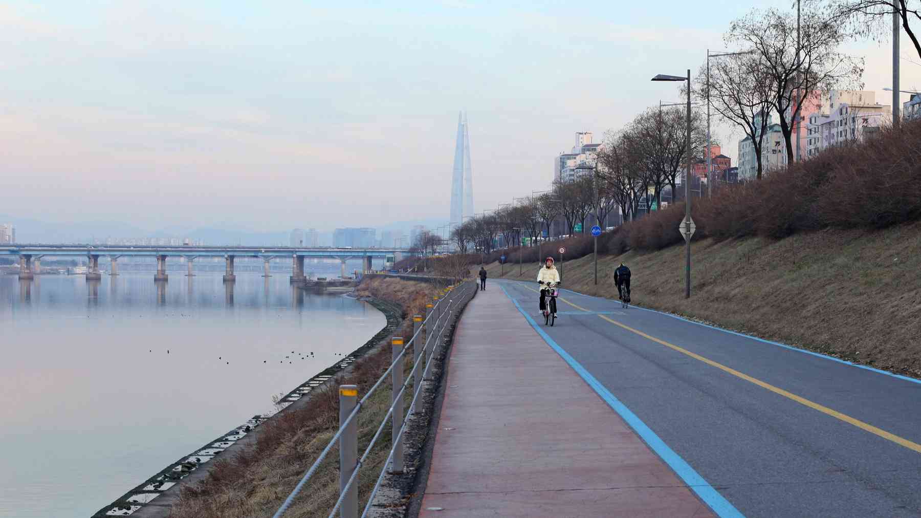
Weirye Riverside Road

With its south blanketed with nature, Hanam didn’t need to create more parks. Right? Wrong.
The city added recreational spaces to their downtown by developing Weirye Riverside Road (위례 강변길; map). Like the Hangang Park system in Seoul, the recreational space stretches the length of the Han River in Hanam.
Not only does Weirye Riverside Road hold a section of the Hangang Bicycle Path, it includes a tree orphanage, riverside parks, and waves of springtime cherry blossoms and picnic-goers.