Conquer a day-long course from Chuncheon City to the outskirts of Seoul.
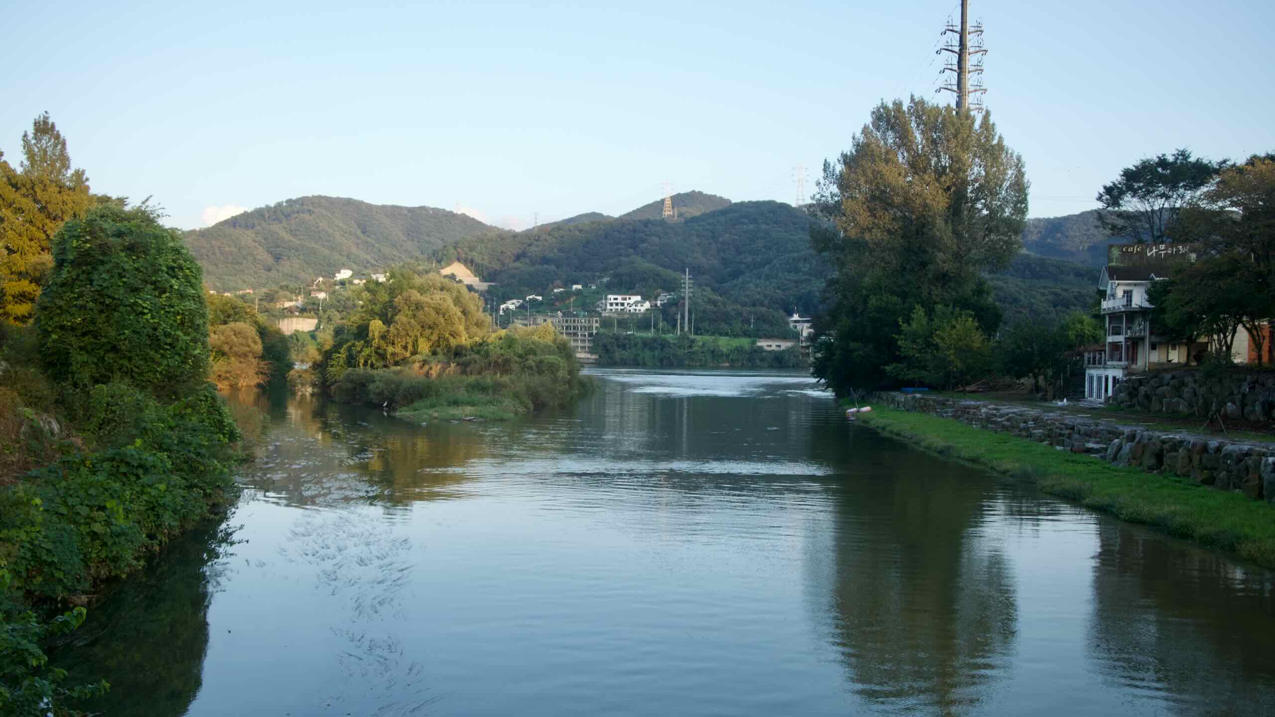
The Bukhangang Bicycle Path (북한강 자전거길; map) follows the North Han River (북한강; Bukhangang; map), the upper branch of the Han River (map).
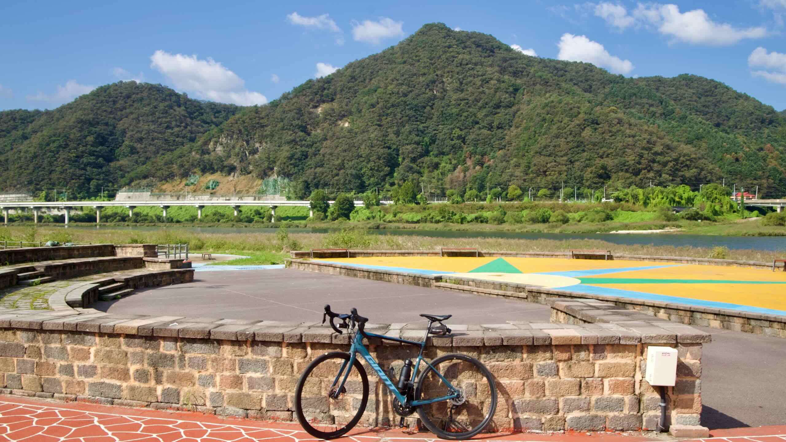
The route branches off from the Hangang Bicycle Path east of Seoul and travels about 70 kilometers northeast to Chuncheon City (춘천시; map). It rides along a decommissioned rail line, passing valleys, bridges, and green-blanketed hillsides.
The Bukhangang Bicycle Path traces the North Han River (Bukhangang) from the provincial capital of Chuncheon City in Gangwon State down into the outer orbit of Seoul. It offers a compact, one-day tour of Korea’s rivers, lakes, and valleys.
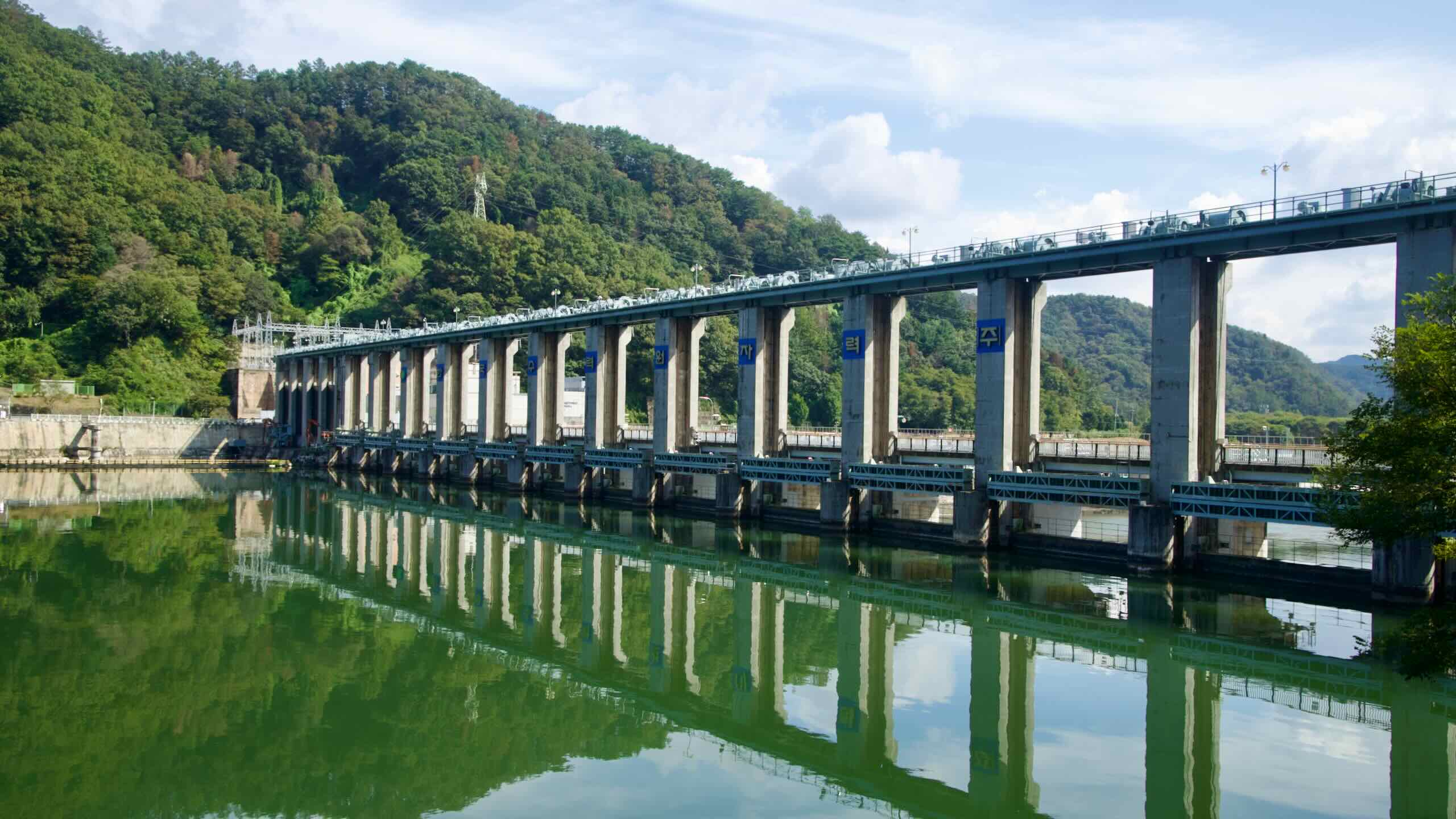
Unlike the other Four Rivers bike paths, the Bukhangang loops around Uiam Lake and parallels the old Gyeongchun Line railway as it snakes through tree-lined valleys and along the North Han River. The ride ends in Namyangju City, where the North Han River meets the South Han River and connects to the Hangang Bike Path.
The Bukhangang Bicycle Path is straightforward: one start, one finish, and a single continuous route along the North Han River. It brushes against the Hangang Bike Path near Seoul, but it doesn’t overlap with the Cross-Country Route. Here’s how the course breaks down:
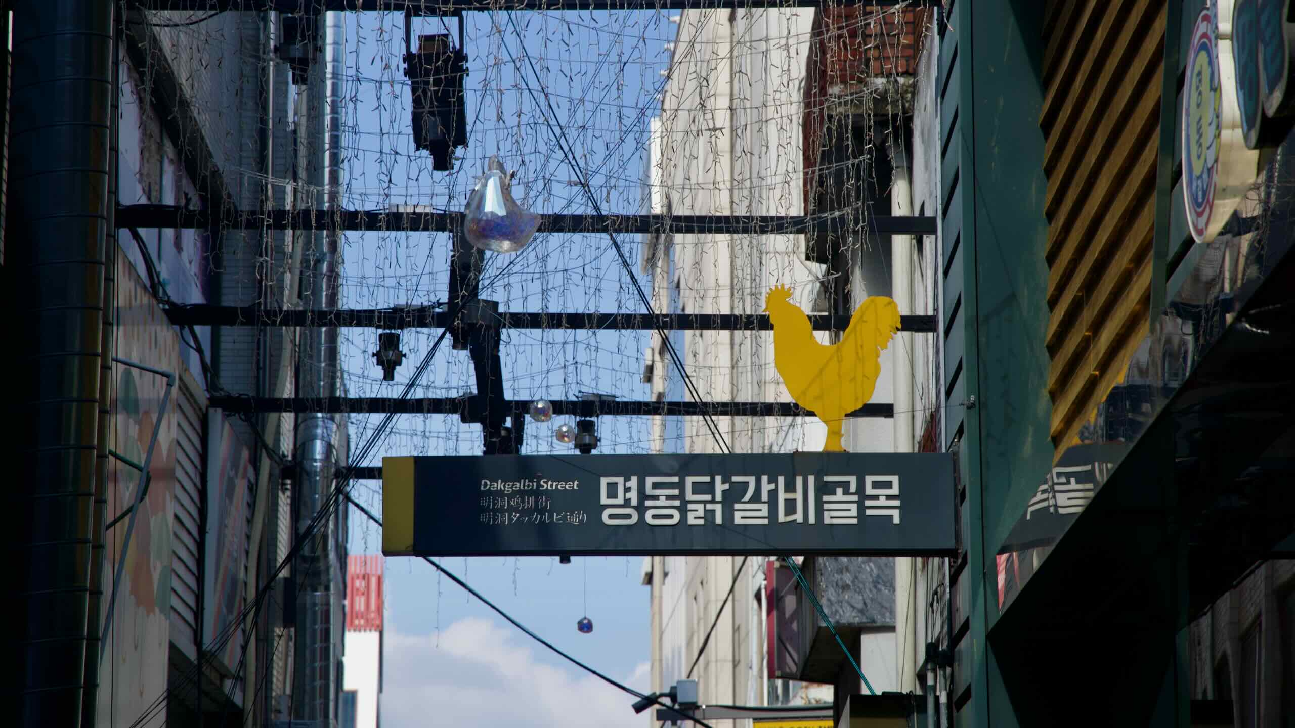
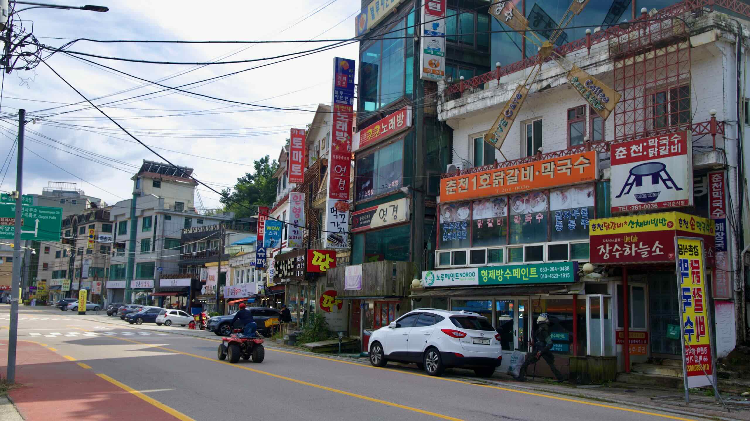
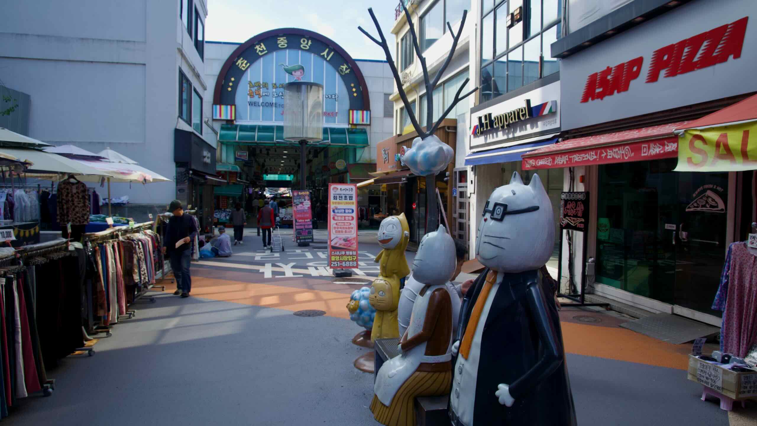
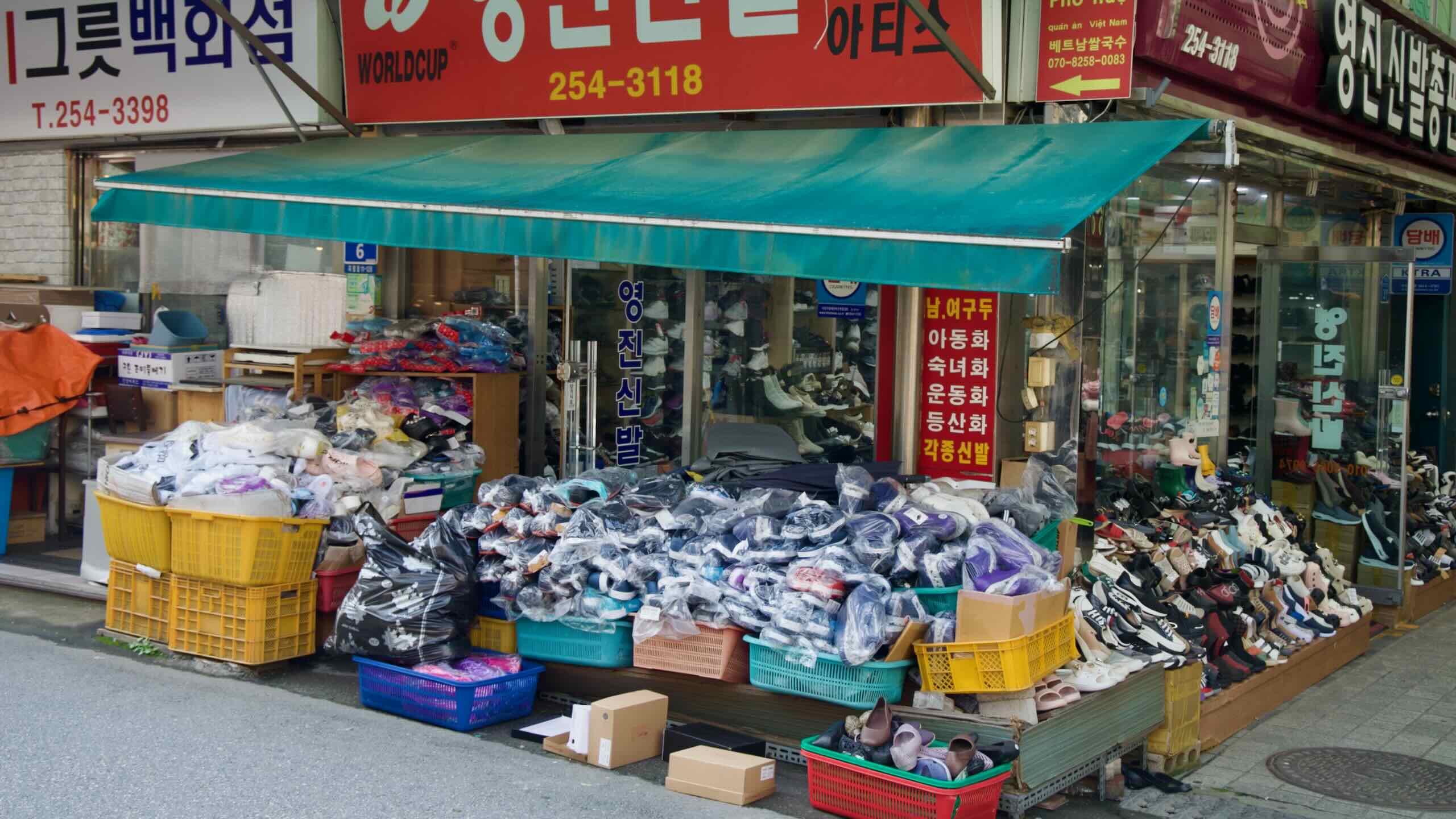
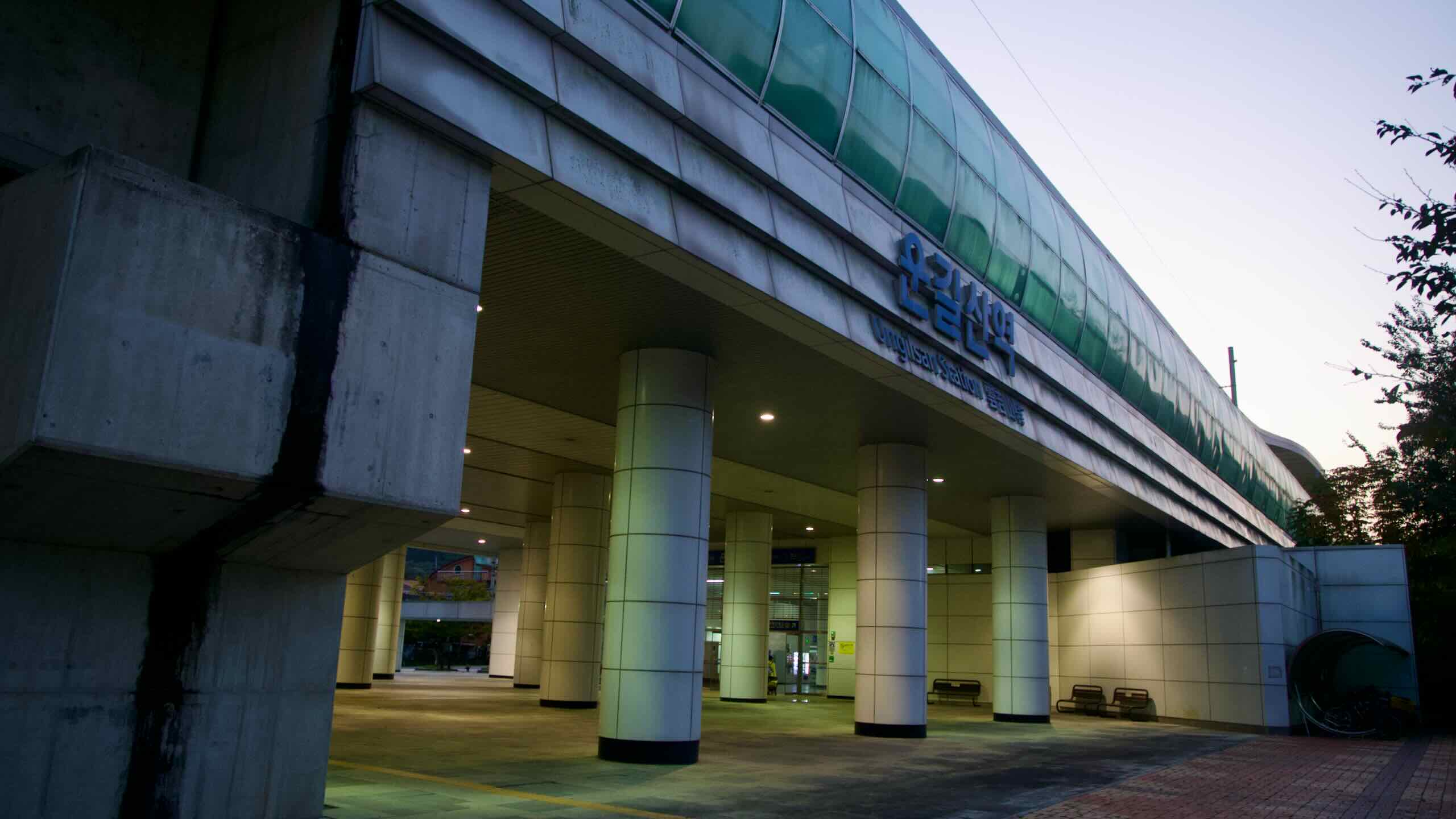
Starting Point — Sinmae Bridge Certification Center: Although you can join the path at many points, the official northern start sits in the northern part of downtown Chuncheon City, about ten kilometers from the nearest bus terminal or train station. Still, the far-off starting point gives you the chance to explore Chuncheon’s Myeongdong Street, Dakgalbi Alley, and Lake Uiam before collecting your first stamp.
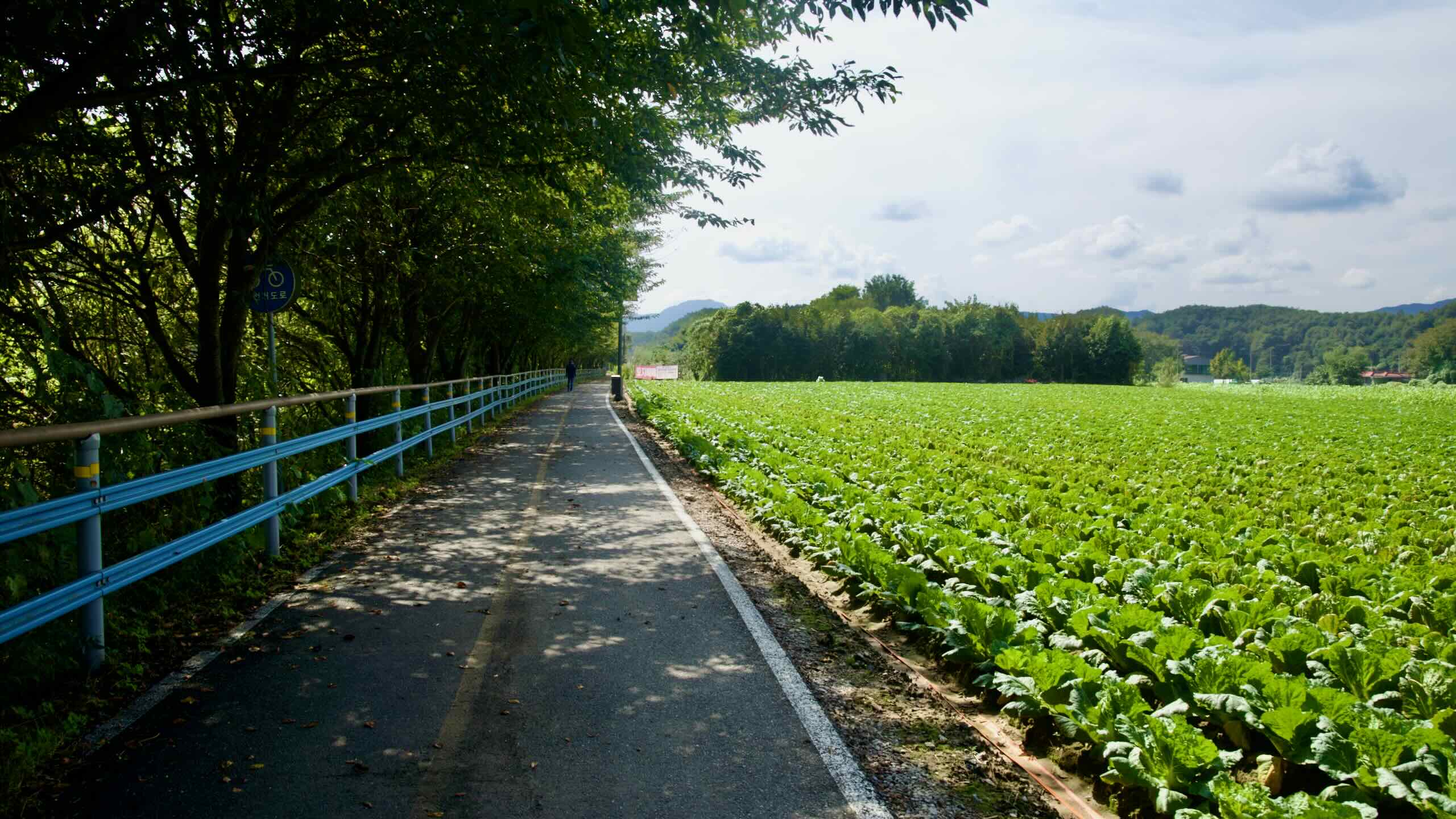
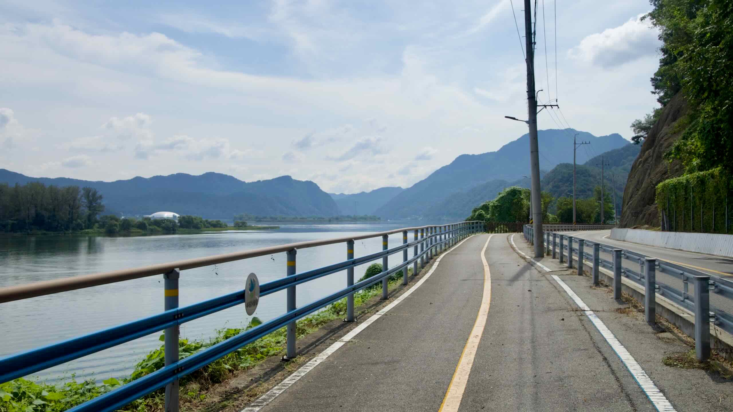
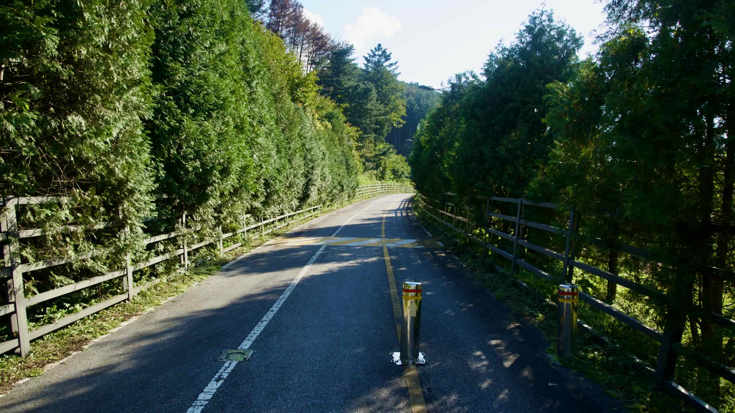
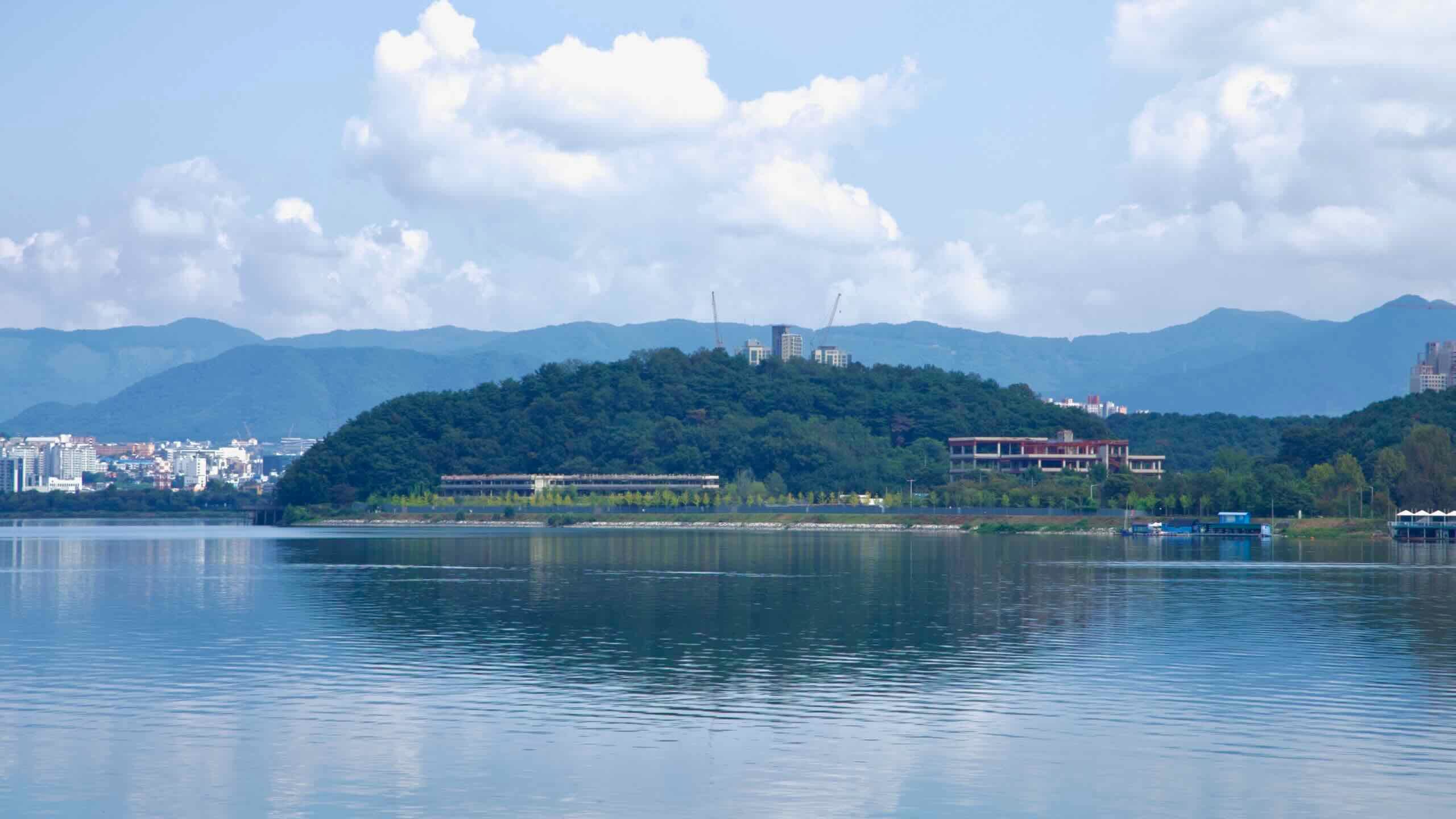
The Bukhangang Bike Path contains just one leg—Chuncheon to Namyangju—but it packs in a variety of landscapes. After collecting your stamp at Sinmae Bridge, you glide down the backside of Lake Uiam, with glimpses of the city skyline, a puppet theatre, and Legoland perched on Hajung Island.
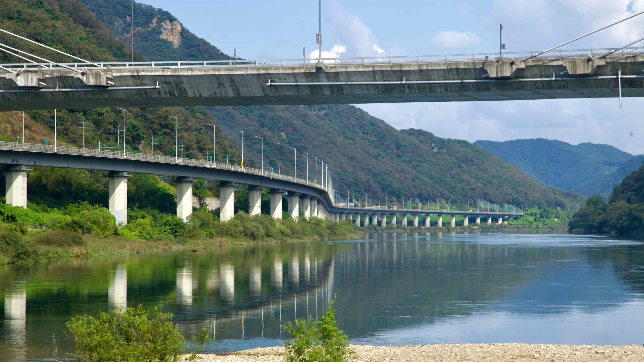
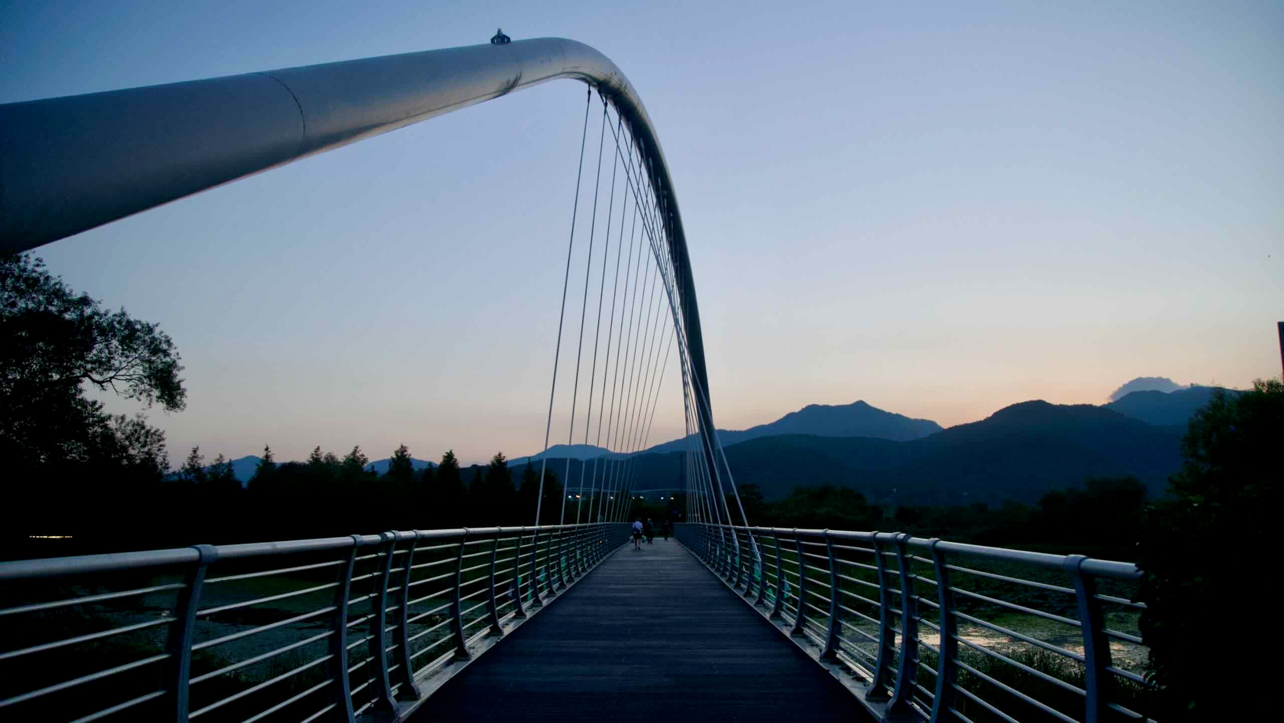
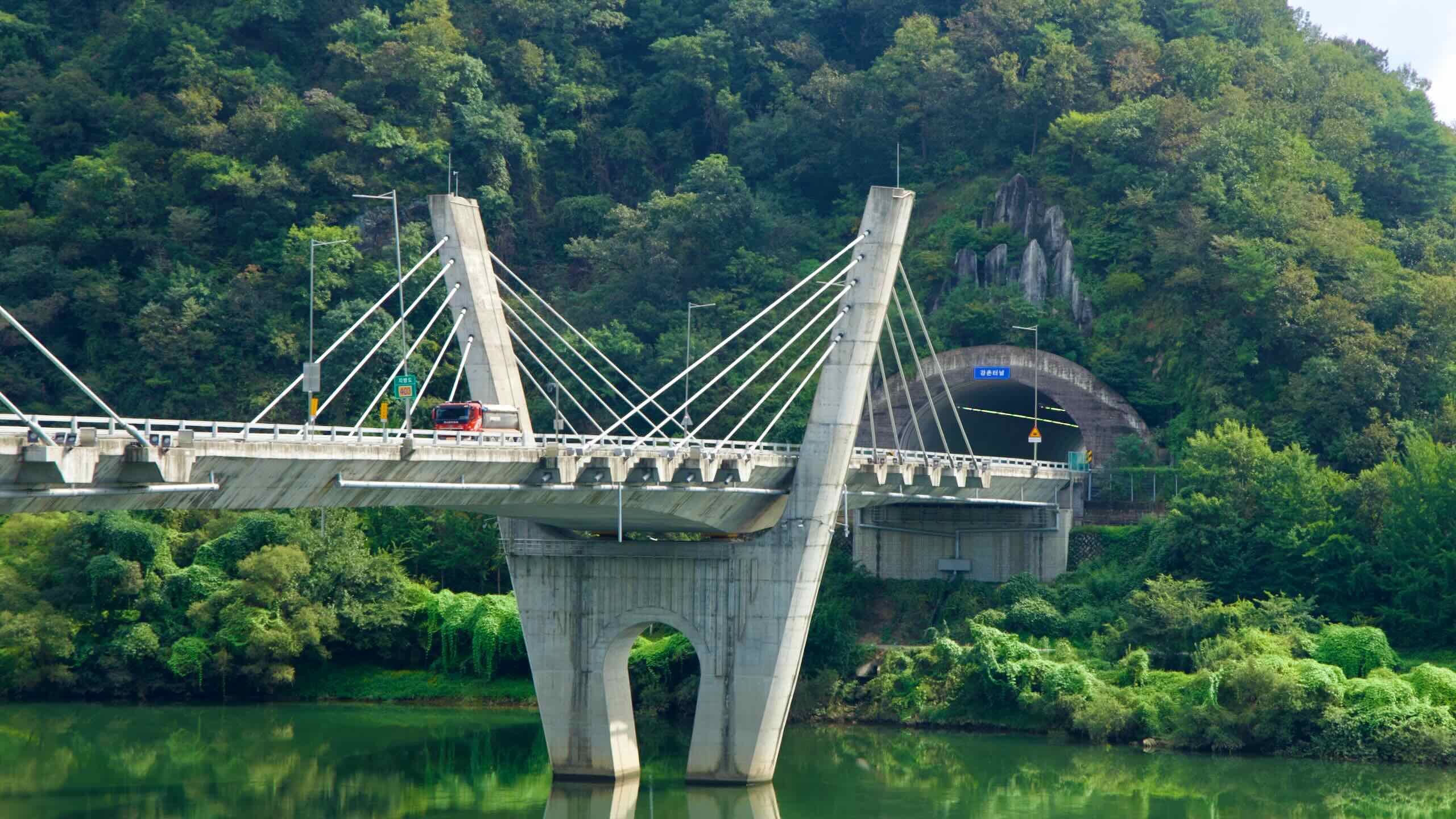
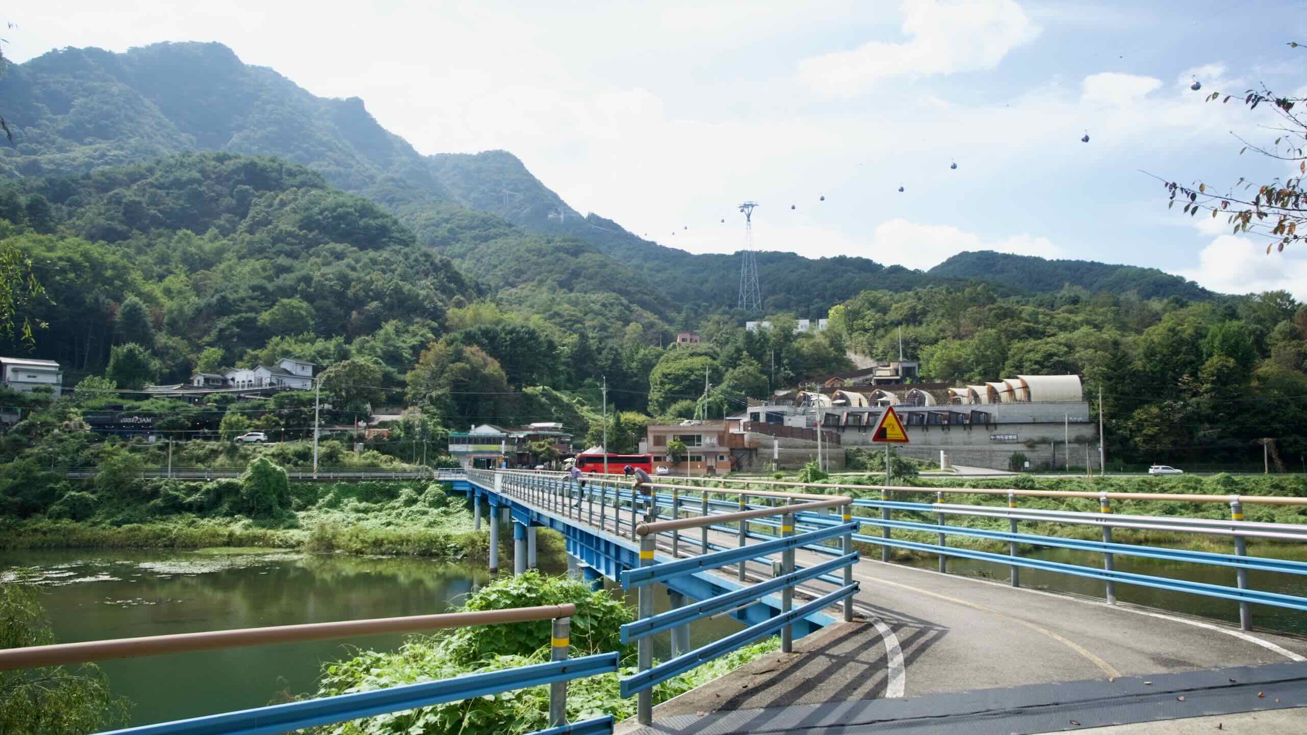
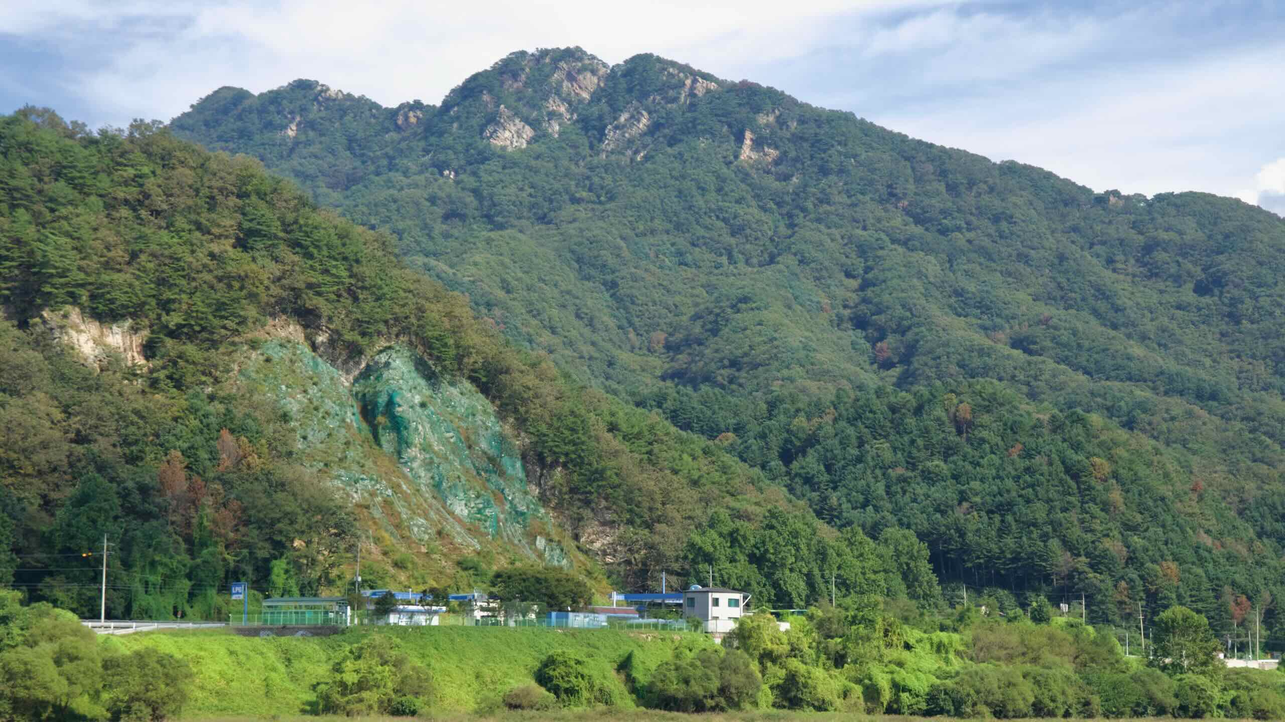
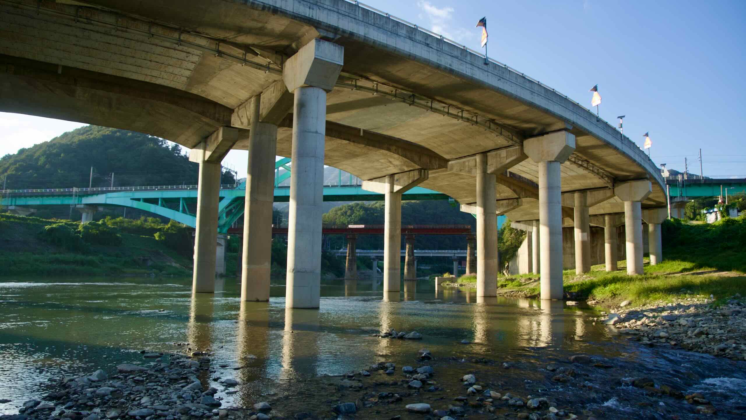
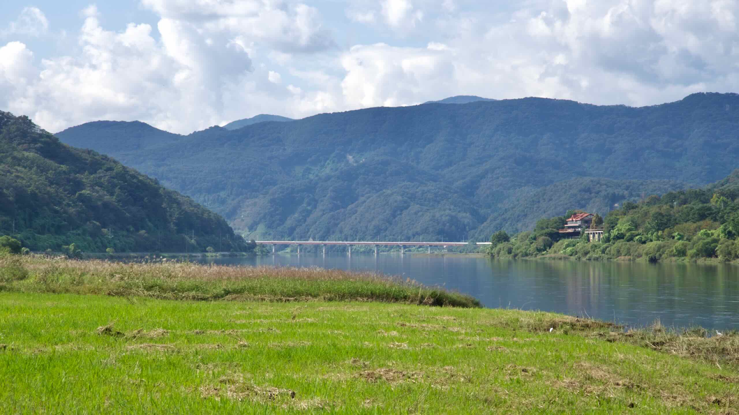
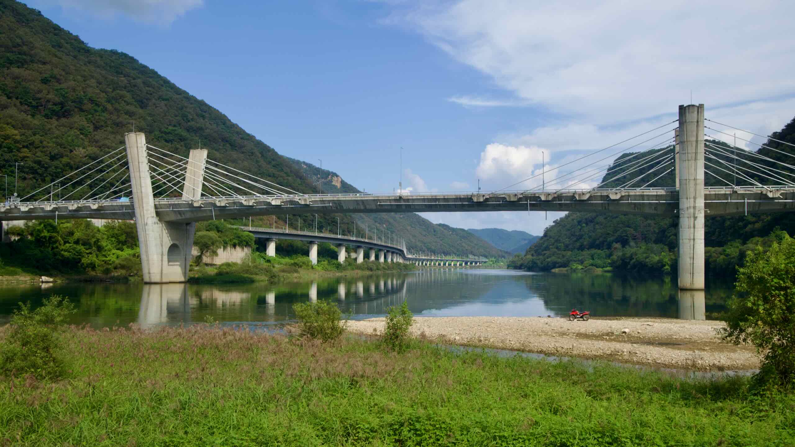
The route then hugs the North Han River, weaving through shaded valleys and tourist villages, and crossing Kyunggang Bridge into Gapyeong County.
The Bukhangang Bike Path travels through two provinces and three cities/counties. Peruse brief profiles of each.
Gangwon State (강원도; map), Korea’s second-largest province and one of two that border North Korea, hosts many of the nation’s go-to recreational retreats. With forests and powder-blanketed mountains in the west and an expansive coastline in the east, the province boasts two famous seaside cities. It also hosted the 2018 Winter Olympics in Pyeongchang.
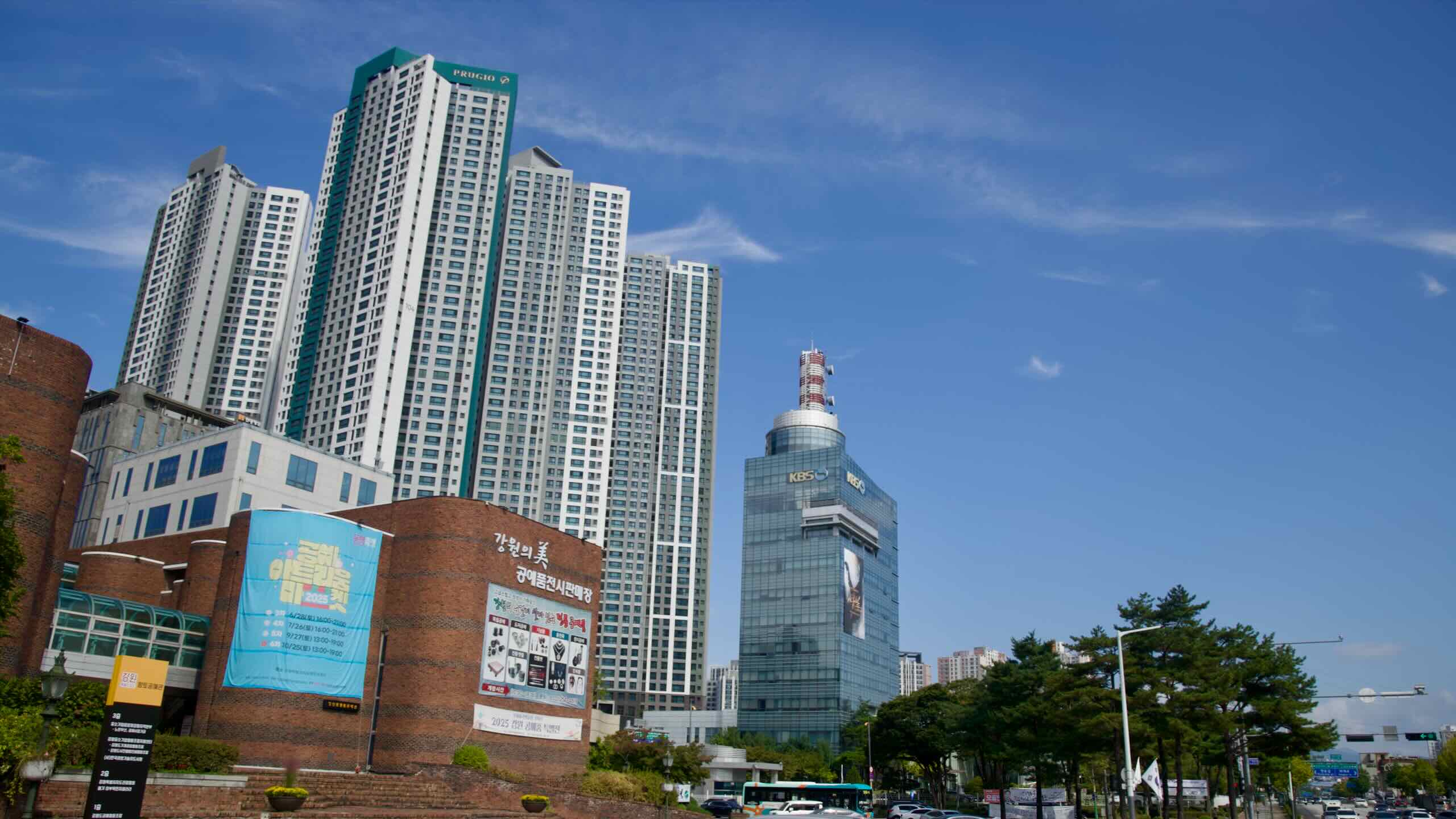
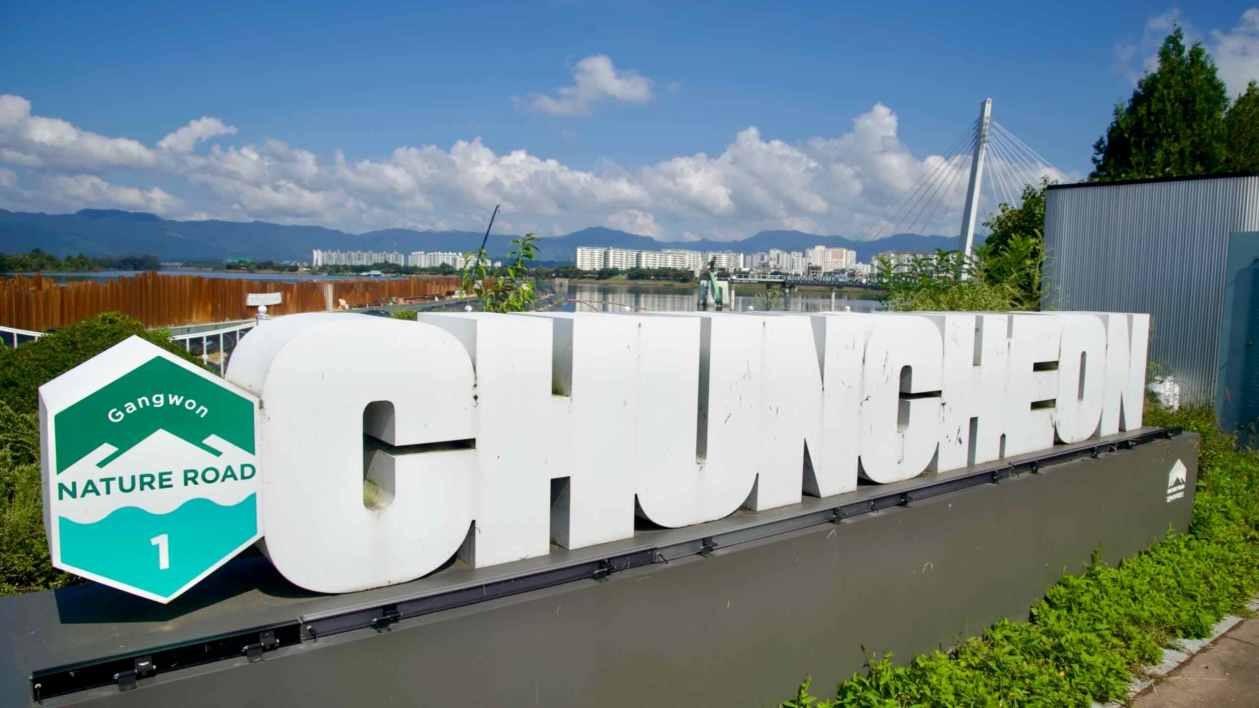
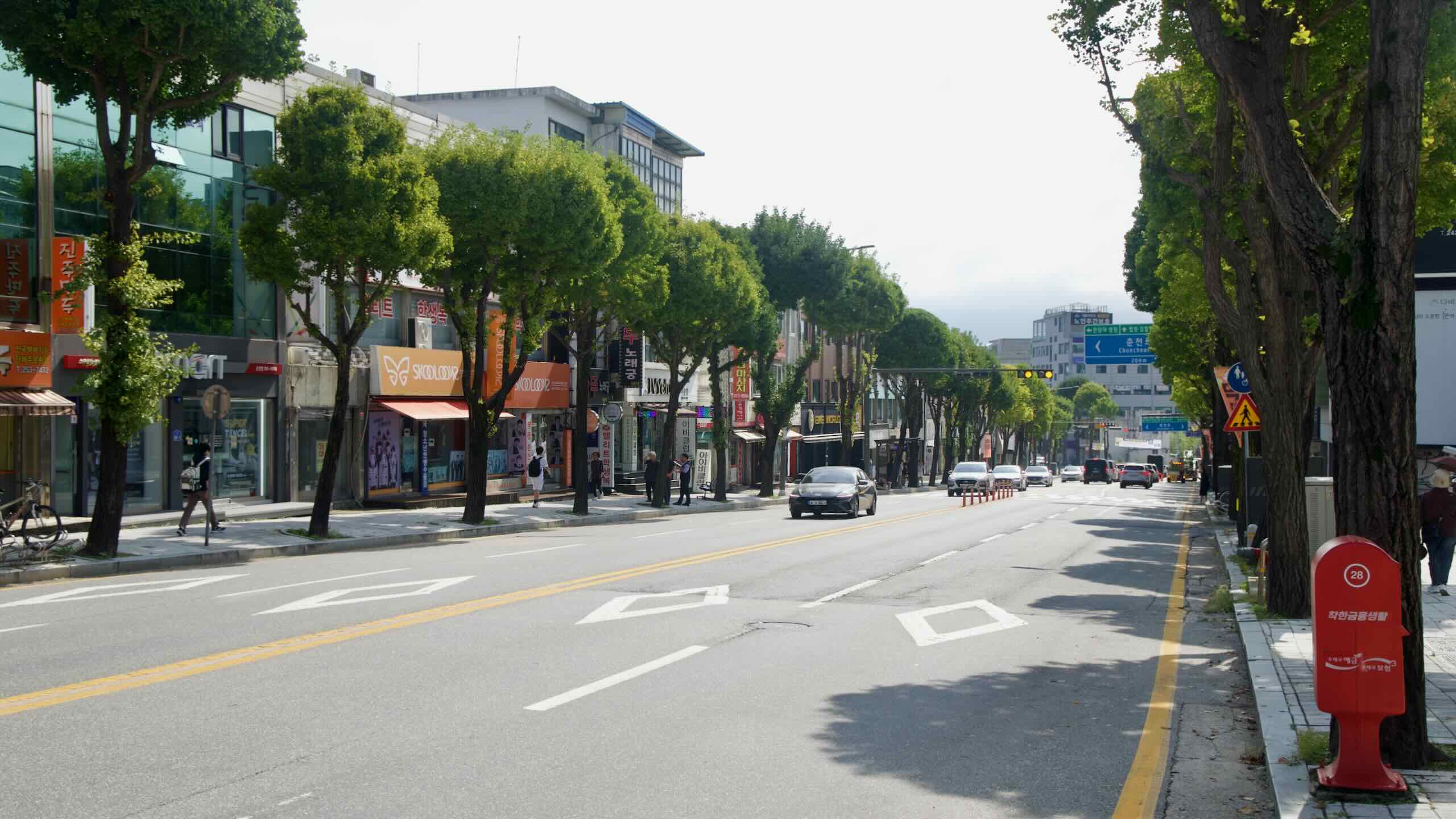
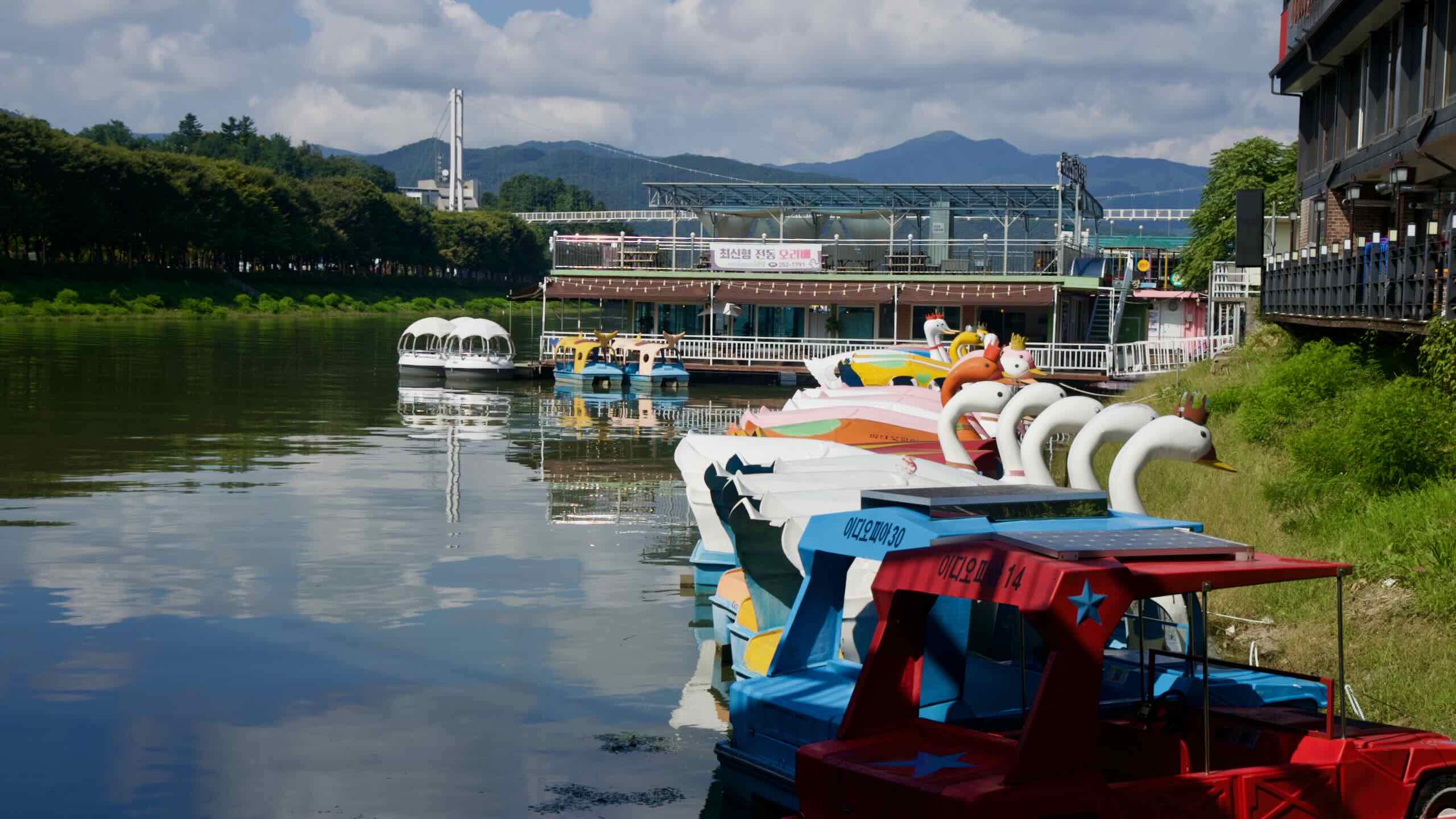
Chuncheon City (춘천시; map) is the capital of Gangwon Province. In the past, it collected and stored goods floating down the North Han River on their way to the capital. Today, a series of natural and artificial lakes created by dams surround Chuncheon, with Uiam Lake bordering the downtown area. Many couples and families escape Seoul for weekend excursions, drawn to the K-drama–enshrined Nami Island and Korea’s new Legoland.
Gapyeong County (가평군; map) sits on the northeast edge of Gyeonggi Province along the North Han River. Like Yangpyeong, Gapyeong is one of three counties in Gyeonggi Province (the other 28 are cities). It offers Seoulites an easy rural escape, with hikeable mountains, tucked valleys, and riverside attractions. Local specialties include pine nut soup and makgeolli (Korean rice wine).
Namyangju City (남양주시; map) is constrained by Seoul’s greenbelt—an outer ring around the capital that’s largely off-limits to development. Farms and parks claim much of the city, dispersing residents into pocket clusters tucked under hillsides and wedged between verdant valleys. Namyangju maintains a strong organic agriculture scene, and its riverside parks, themed villages, and historic sites draw sightseers.
Elevation
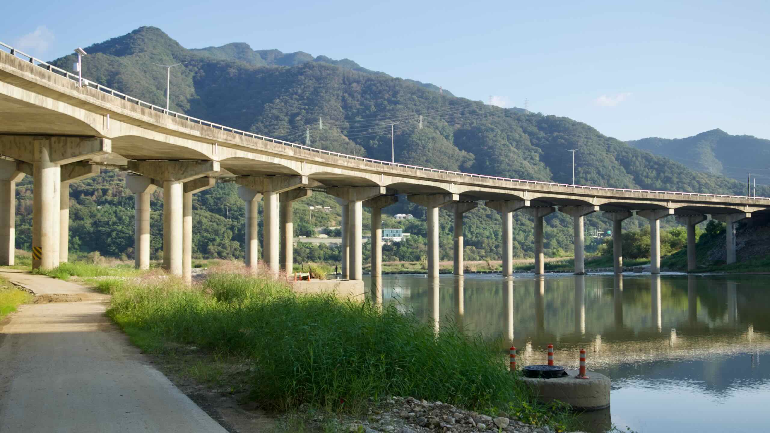
The 72-kilometer Bukhangang course is a beginner-friendly ride. It hugs the North Han River’s floodplain. Official stats list a modest 154 m total elevation gain, coming from a handful of short, punchy hills where the bike path hops onto roads or climbs toward tunnels.
None of the climbs match the mountain passes found on the Nakdonggang or Saejae Bike Paths, but they add welcome variety to an otherwise flat day.
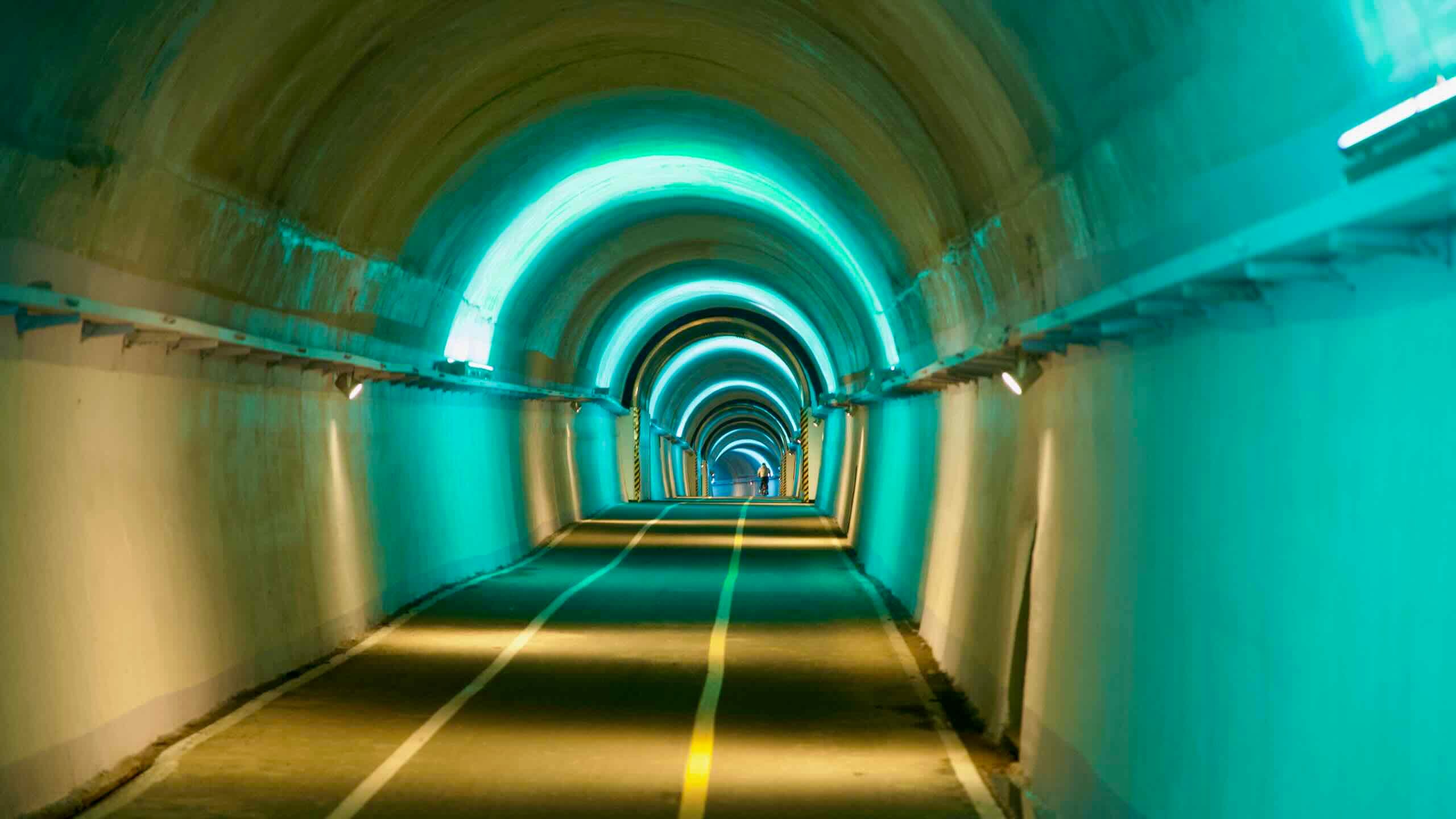
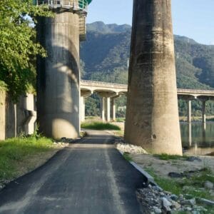
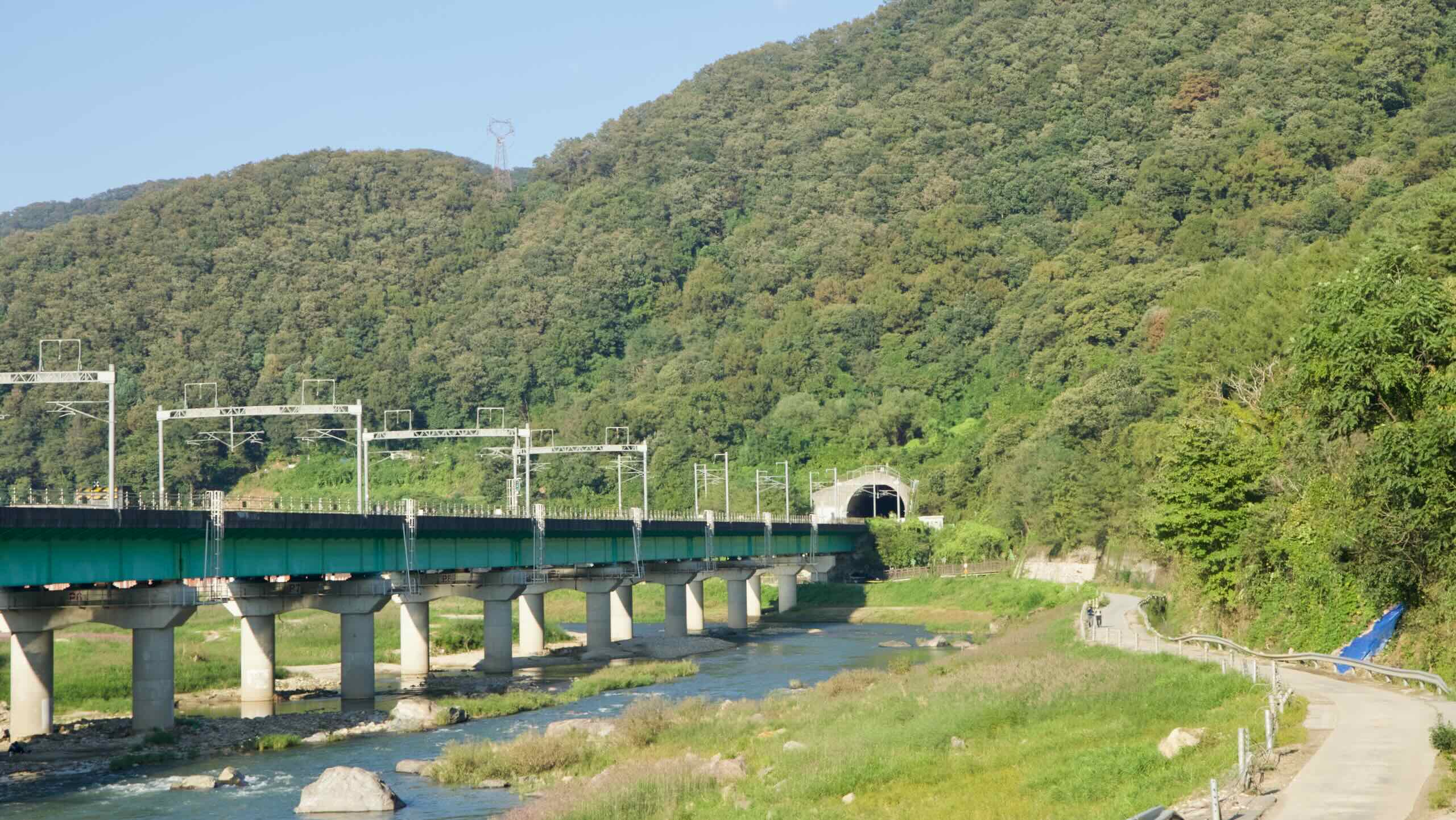
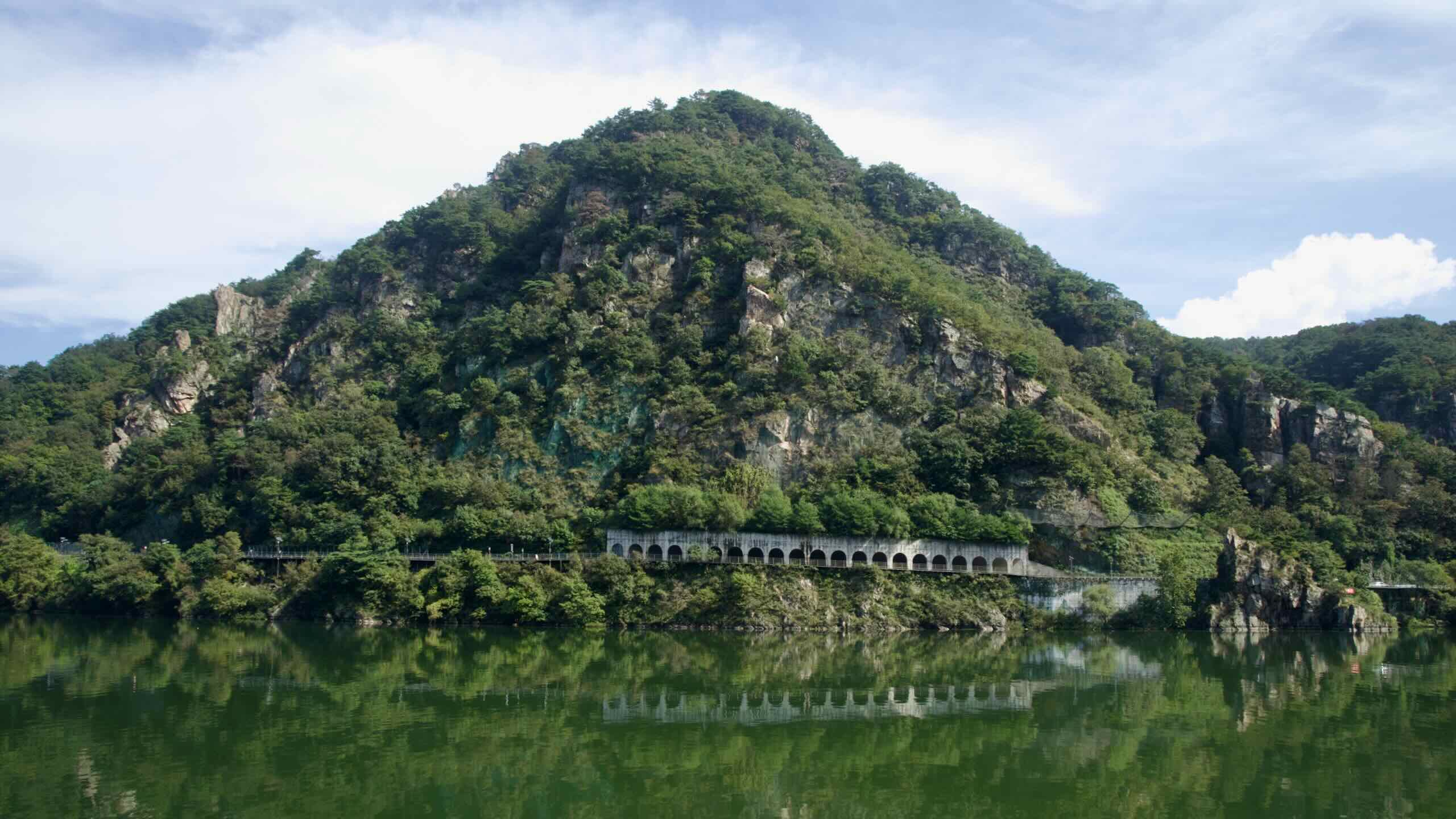
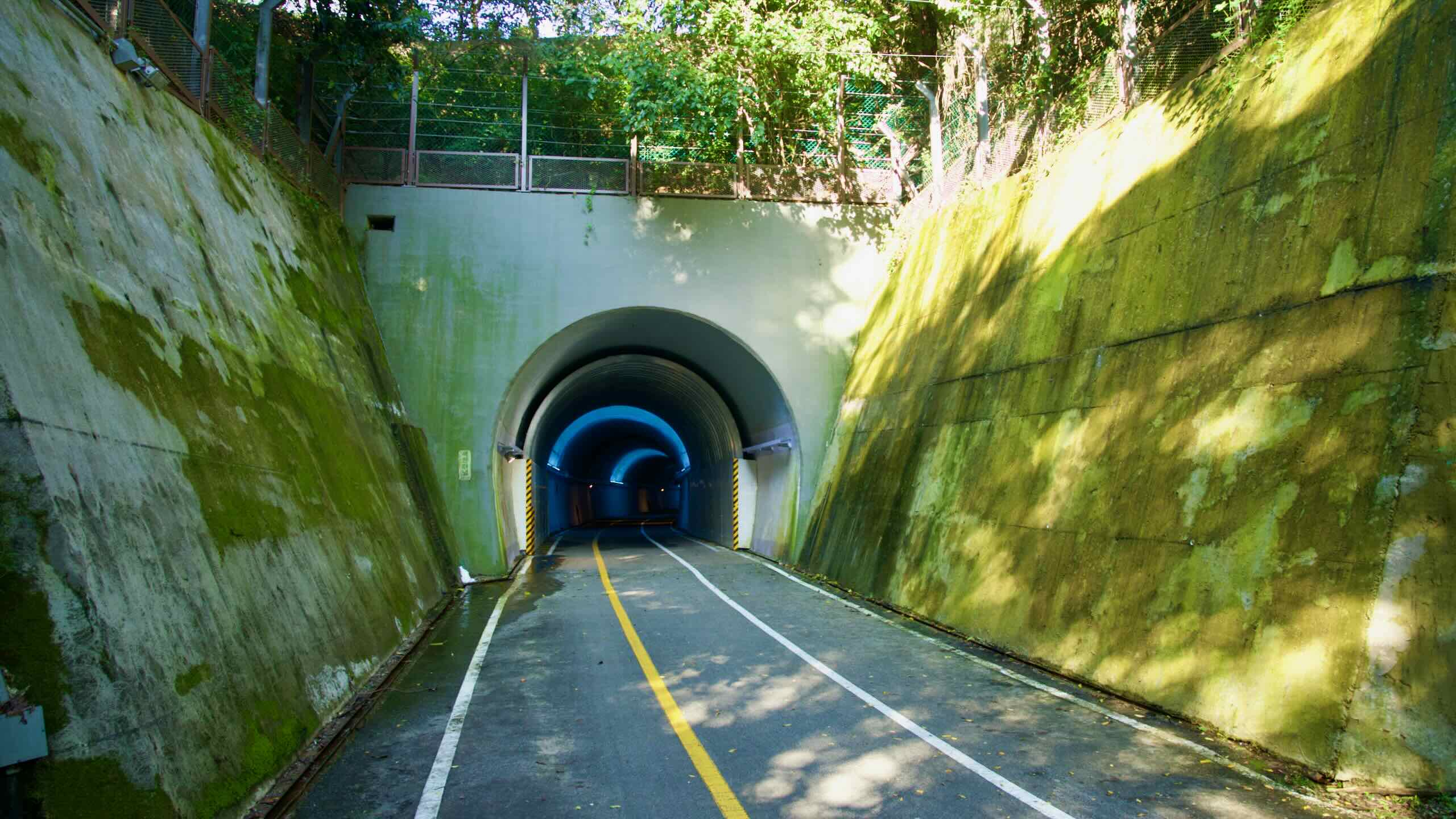
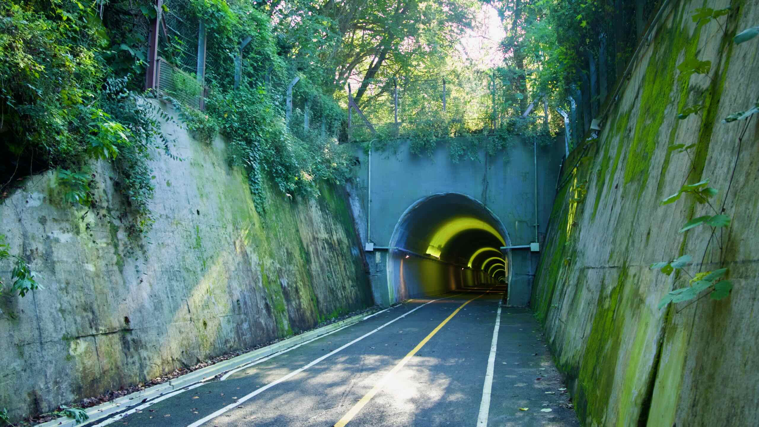
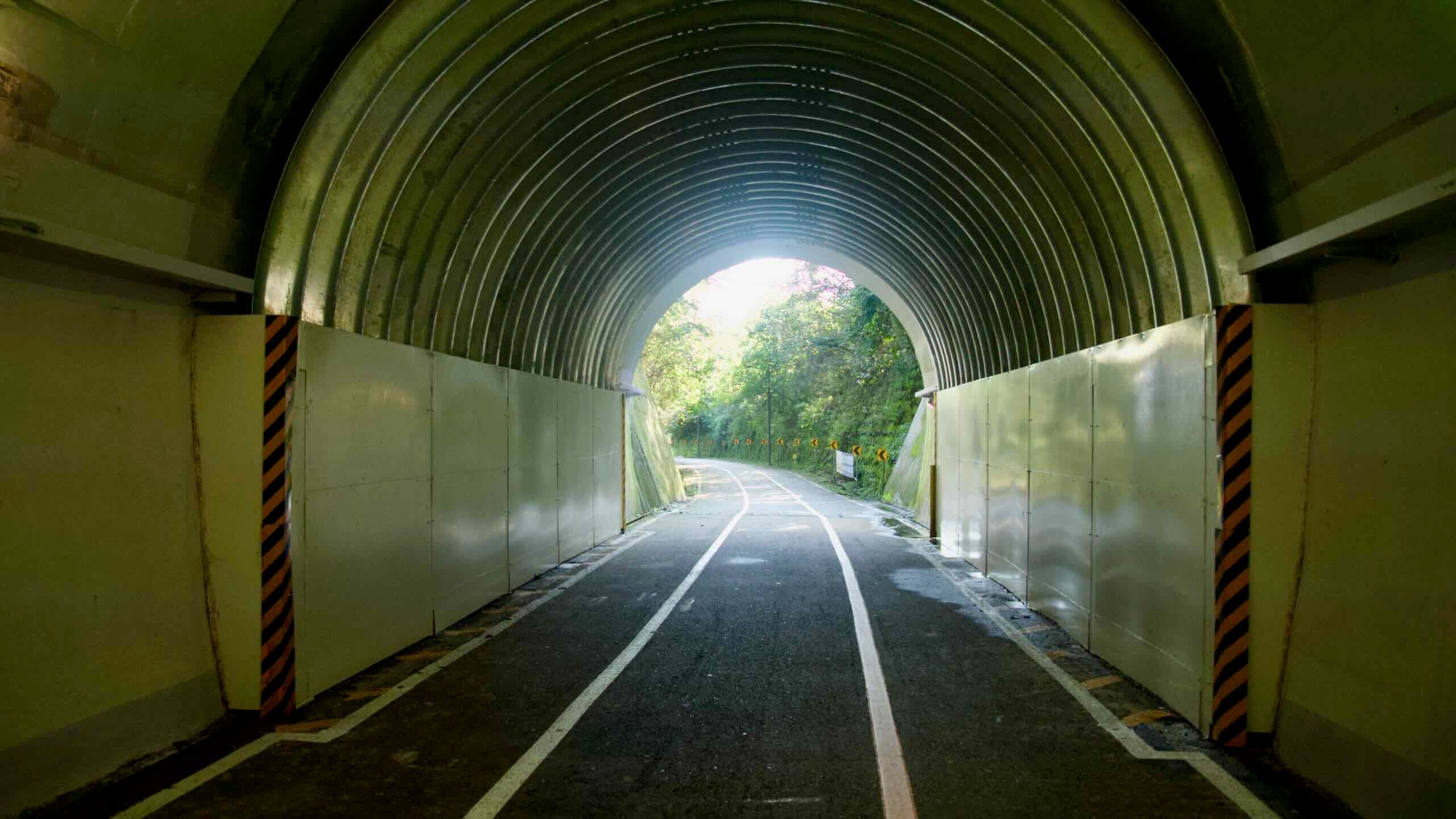
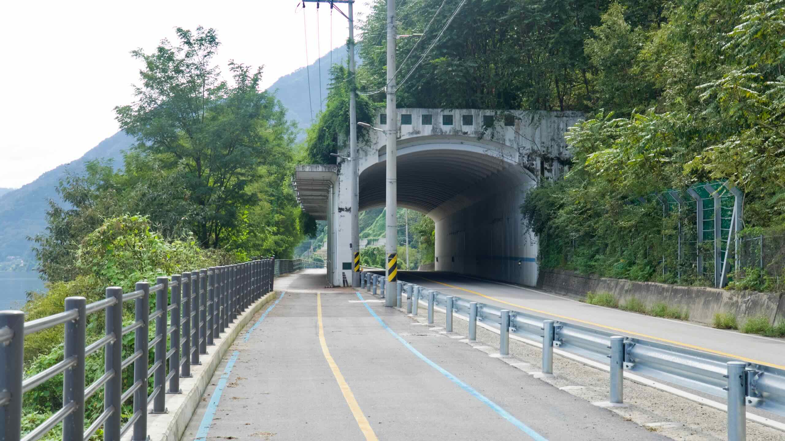
Midway through the course near Gapyeong Town, the path detours away from the river and climbs to the Saekhyeon Tunnel.
Built in 1939 as part of the Gyeongchun Line railway, this 423-meter passage was repurposed for bikes after the rail line was rerouted in 2010. The approach runs up a shaded valley past cafés and rock cuttings, with a gentle incline leading to the tunnel’s northern portal…
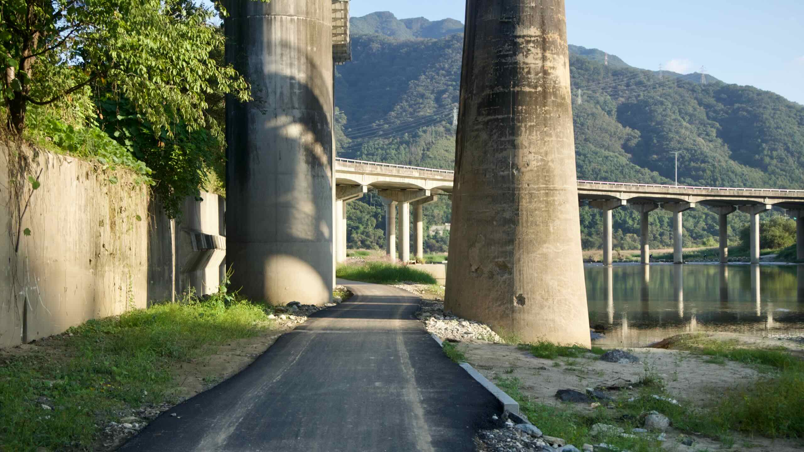
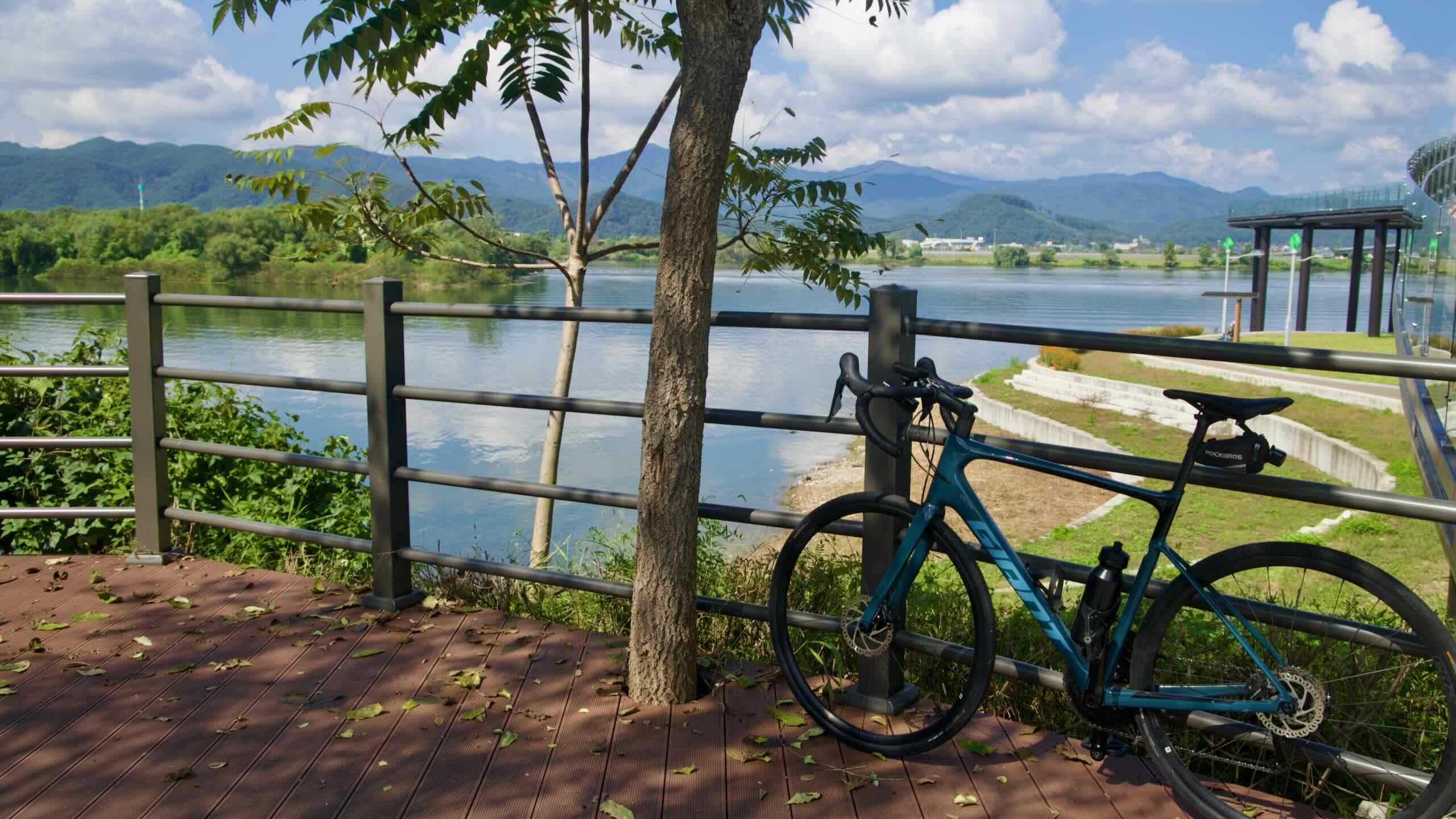
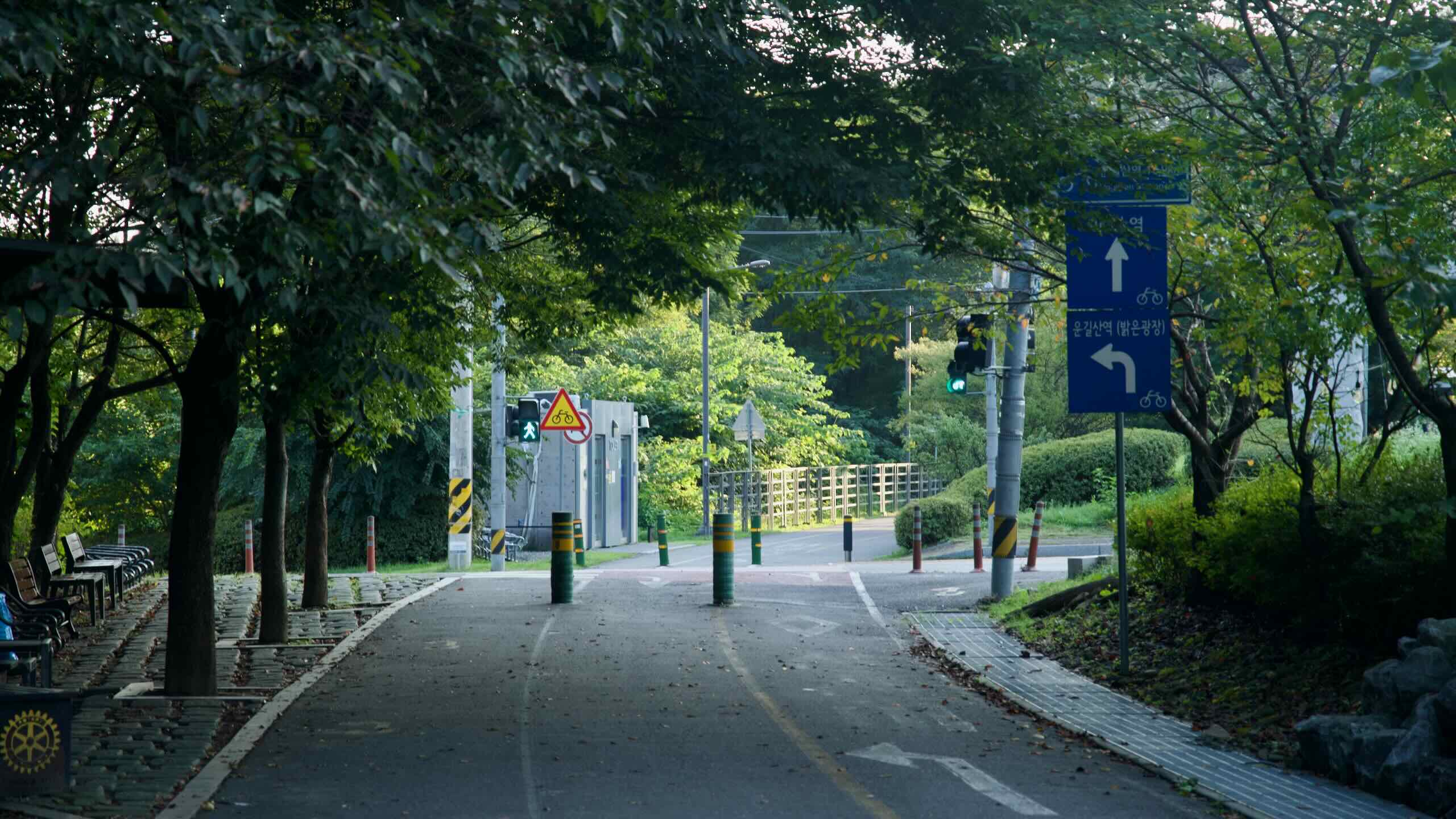
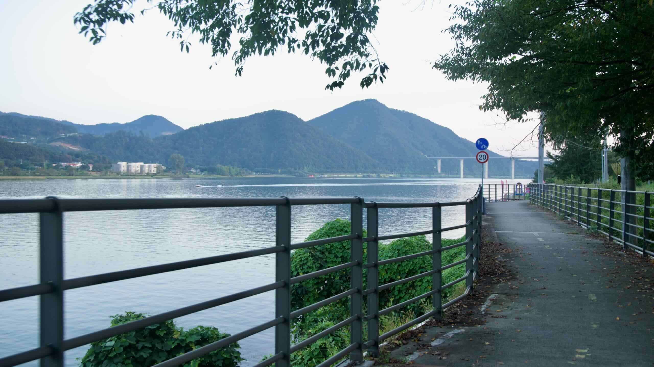
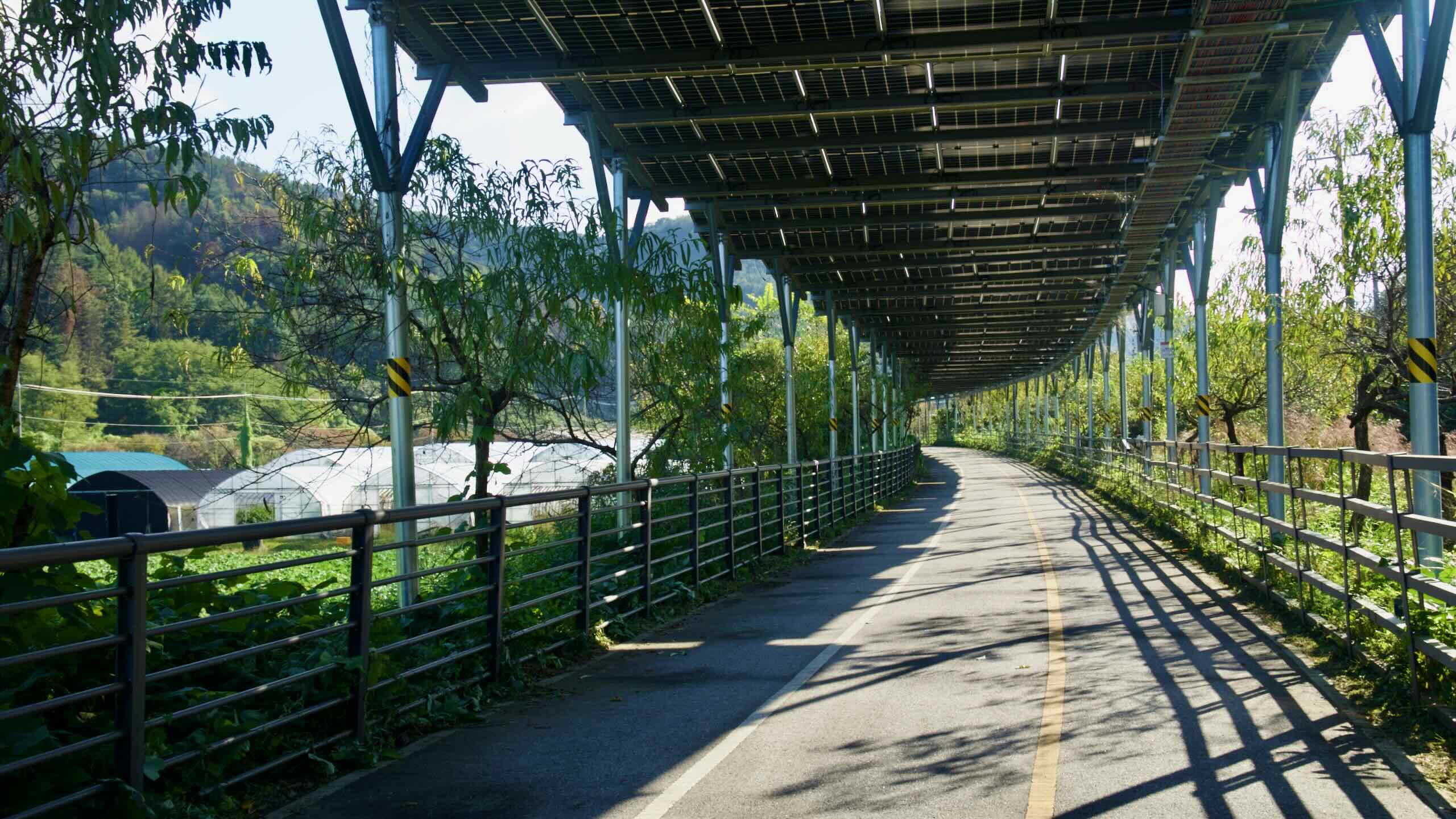
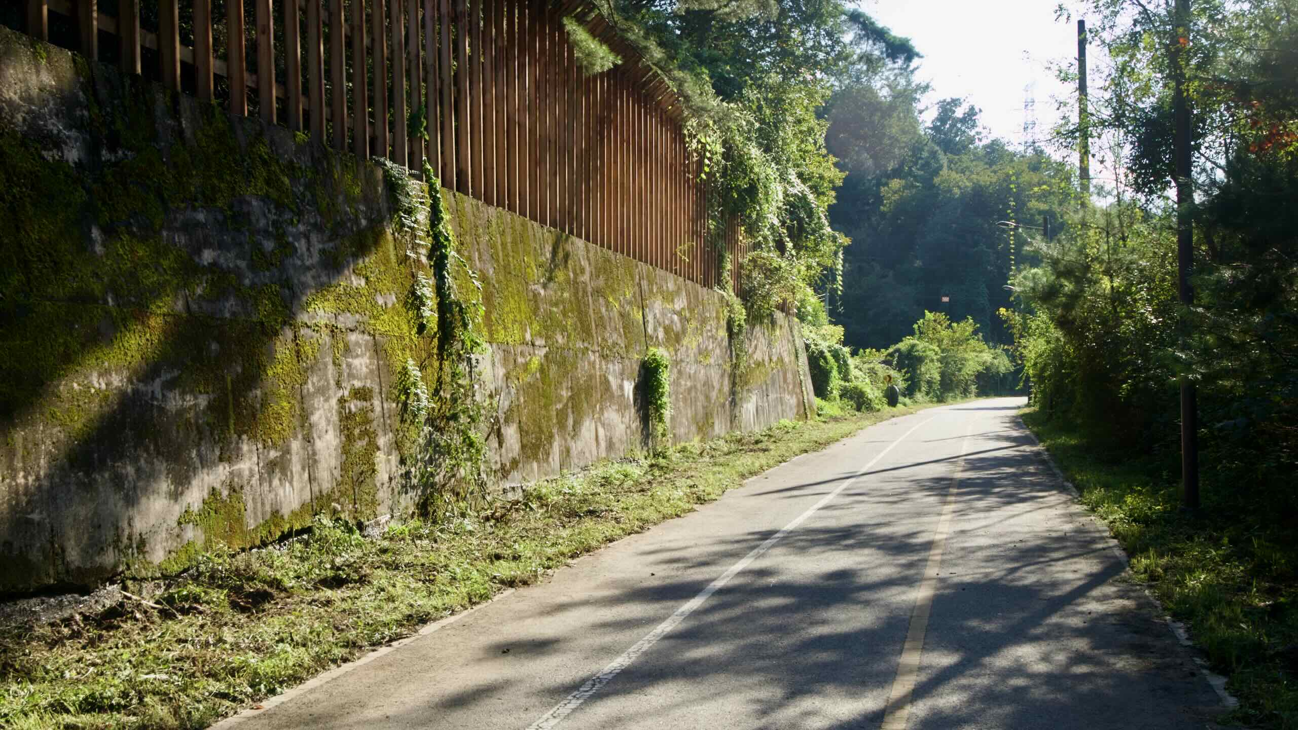
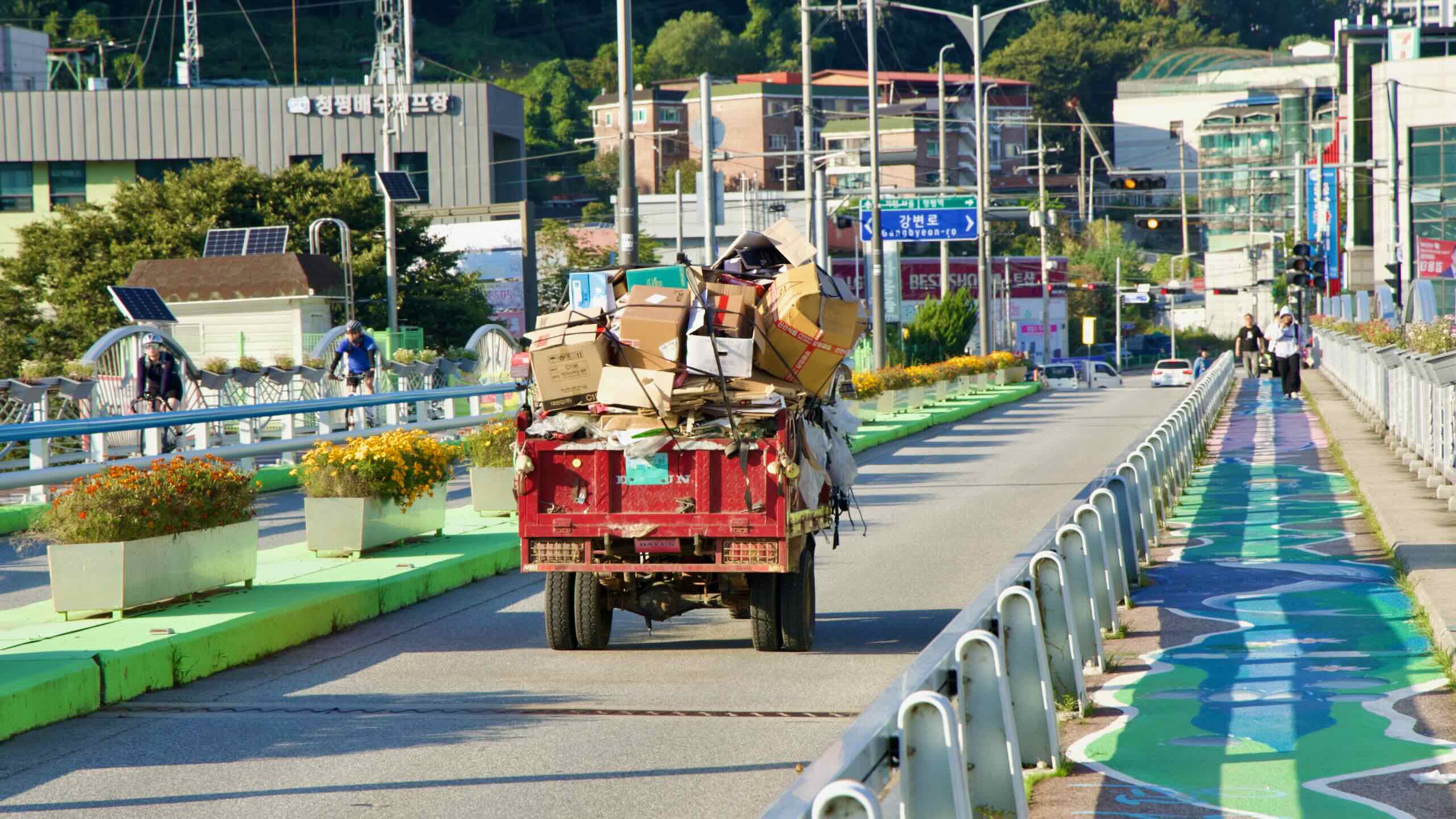
The Bukhangang Bike Path mostly traces riverside parks and old railway embankments, so the riding surface is predominantly smooth and paved. Still, a mix of pavement types and infrastructure shows up along the way. Here’s what to expect on the ride from Chuncheon to Namyangju.
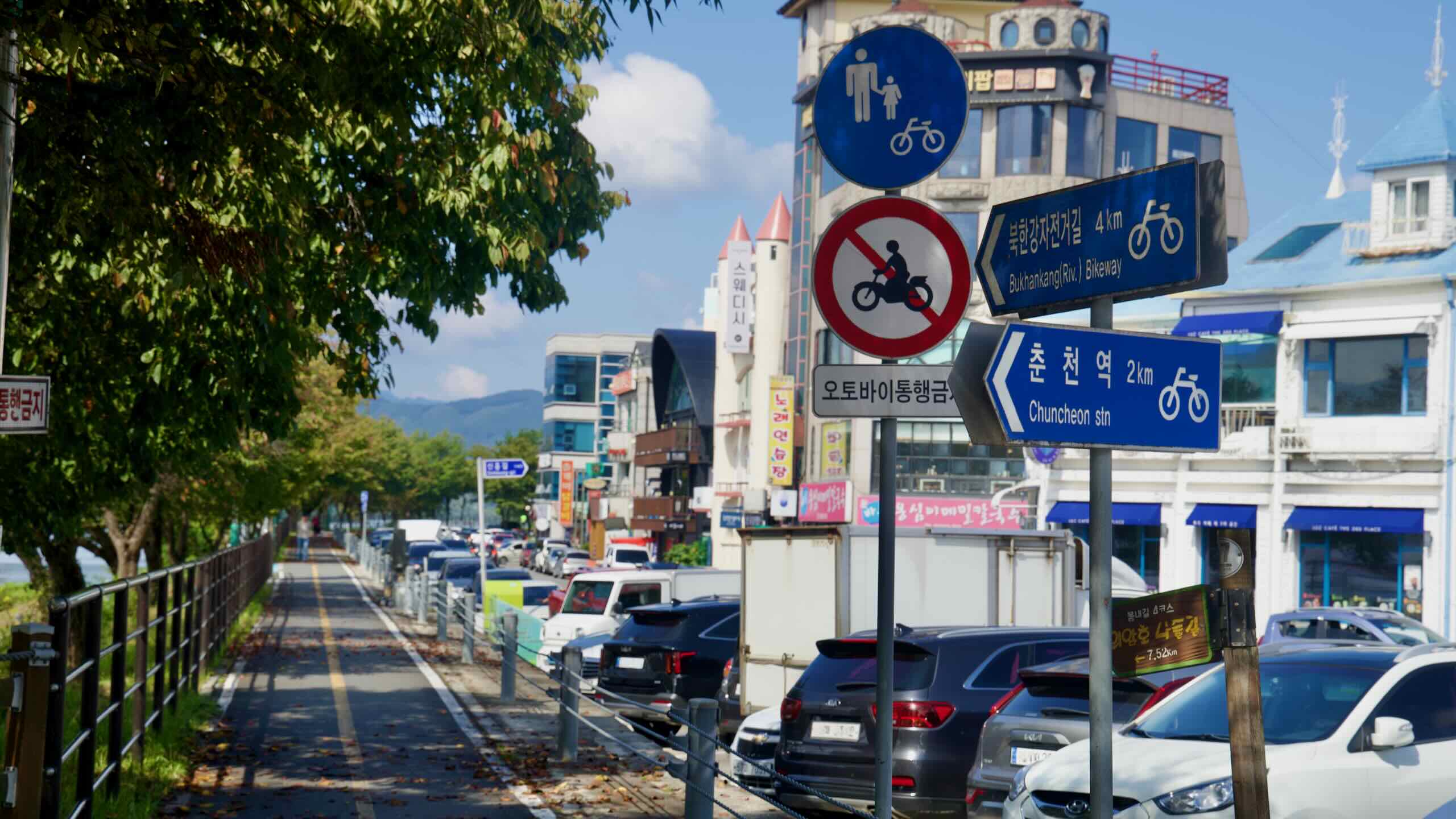
In downtown Chuncheon, the approach from Chuncheon Bus Terminal to the Sinmae Bridge Certification Center uses streets and broad sidewalks with painted cycle lanes. In the city, you may share space with pedestrians and pass the occasional traffic light, but the surfaces are smooth and well-marked.
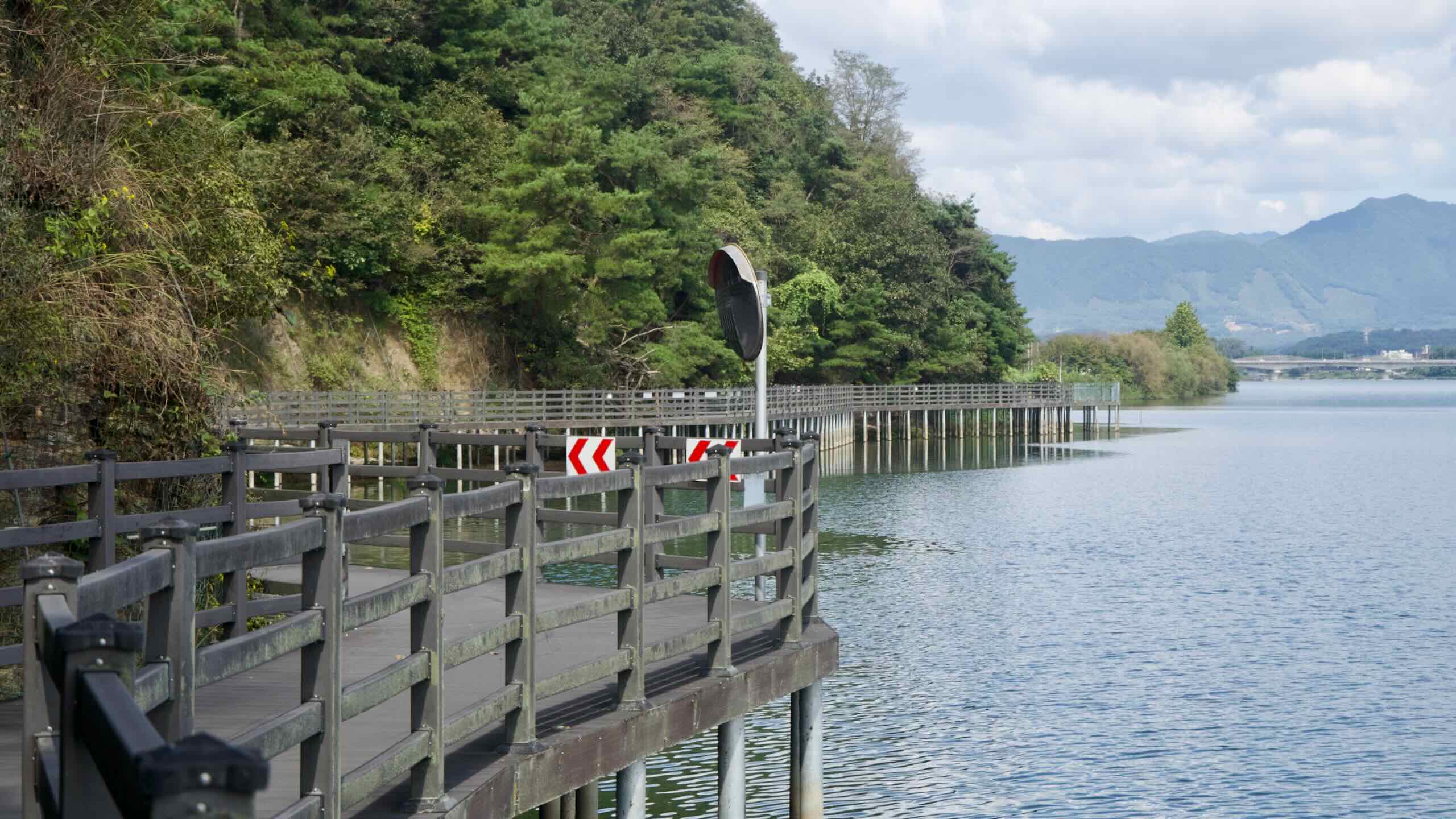
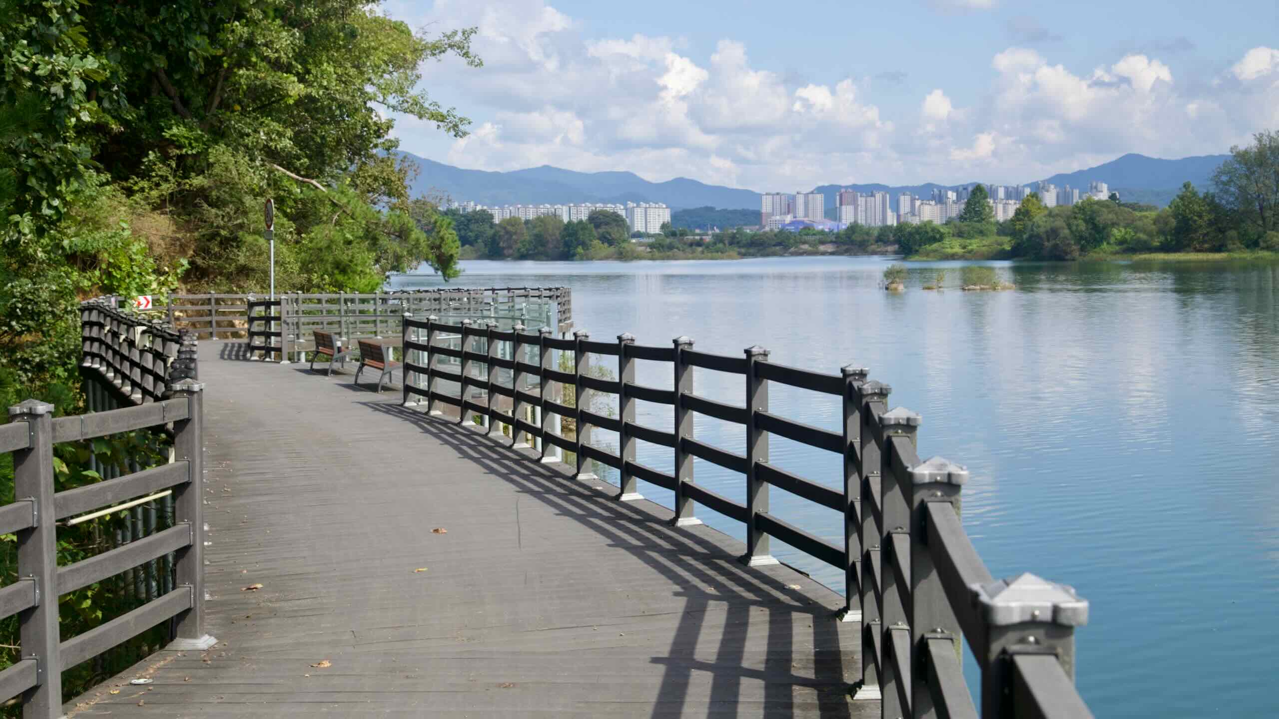
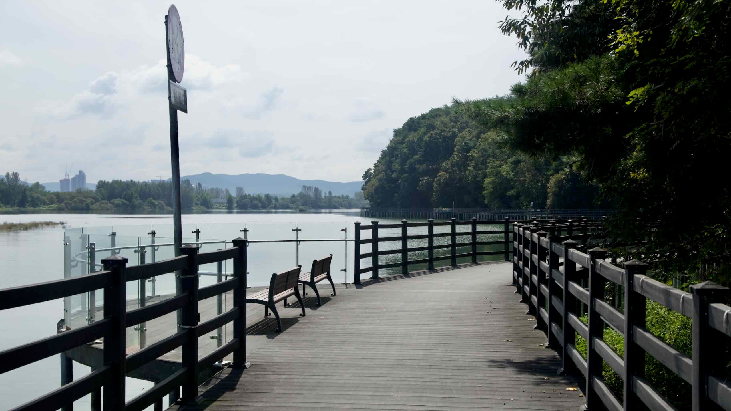
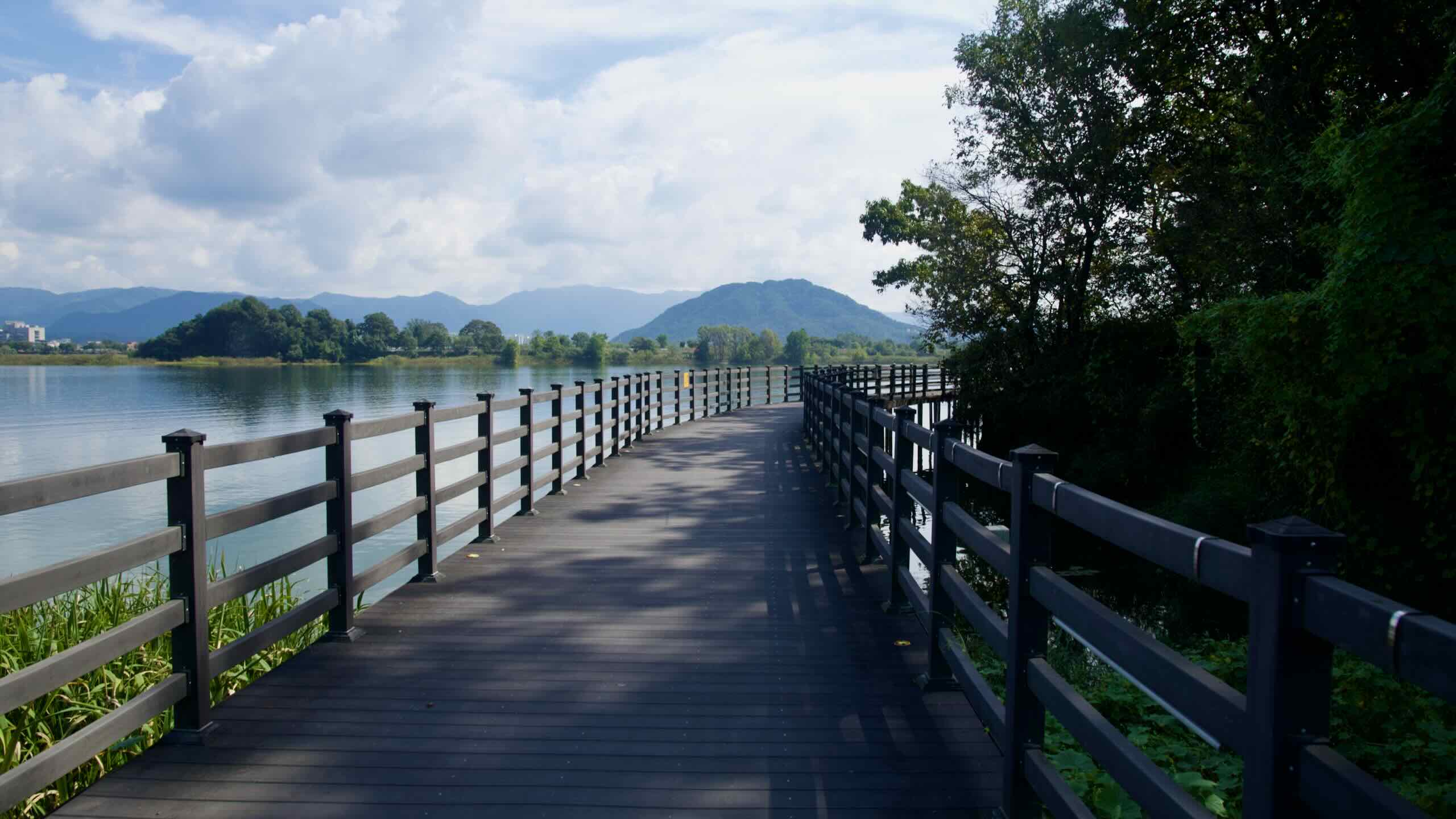
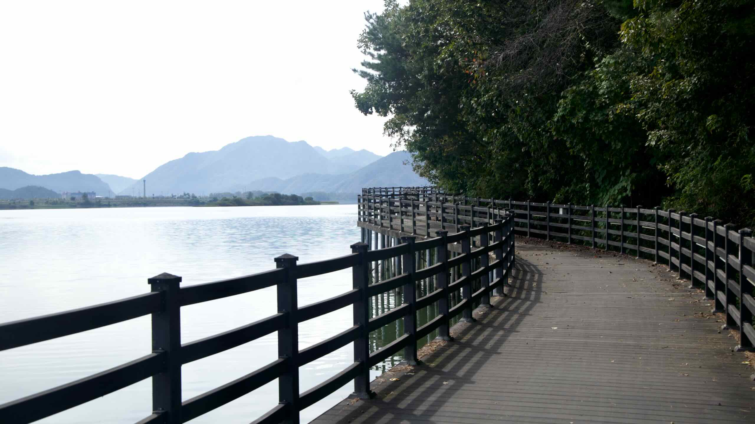
Once you reach Lake Uiam’s edge, the route shifts into riverside parks with dedicated cycling lanes.
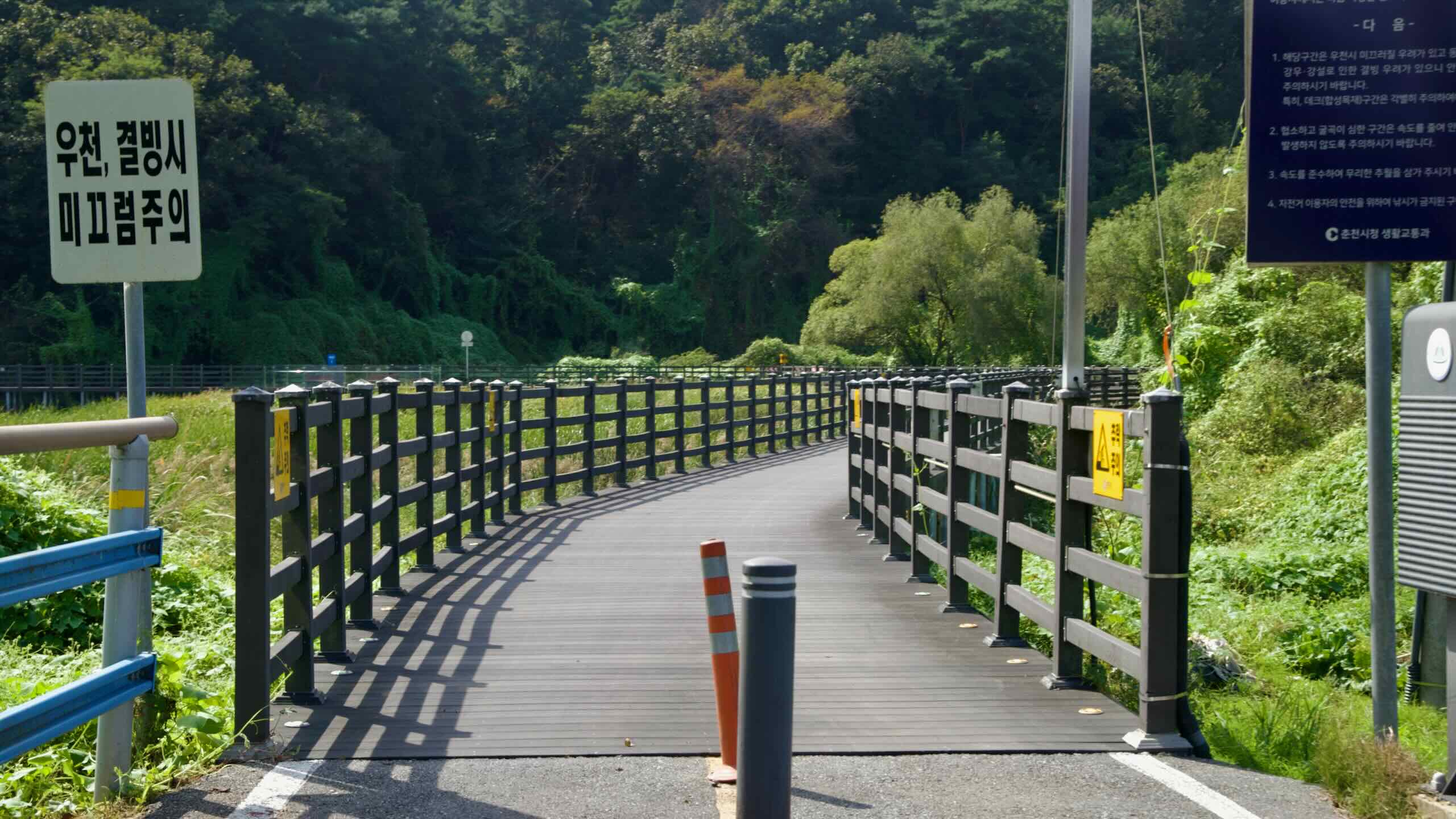
After leaving downtown Chuncheon, the path hops onto a 1.1-kilometer boardwalk built over the shallow waters of the North Han River. Wooden decking carries you above the water and offers close-up views of Lake Uiam.
These boardwalks can get slippery when wet, so slow down and watch for pedestrians.
Inside each booth, you’ll find an ink pad and a unique stamp. If the pad is dry or missing, take a photo of your bike in front of the booth as evidence.
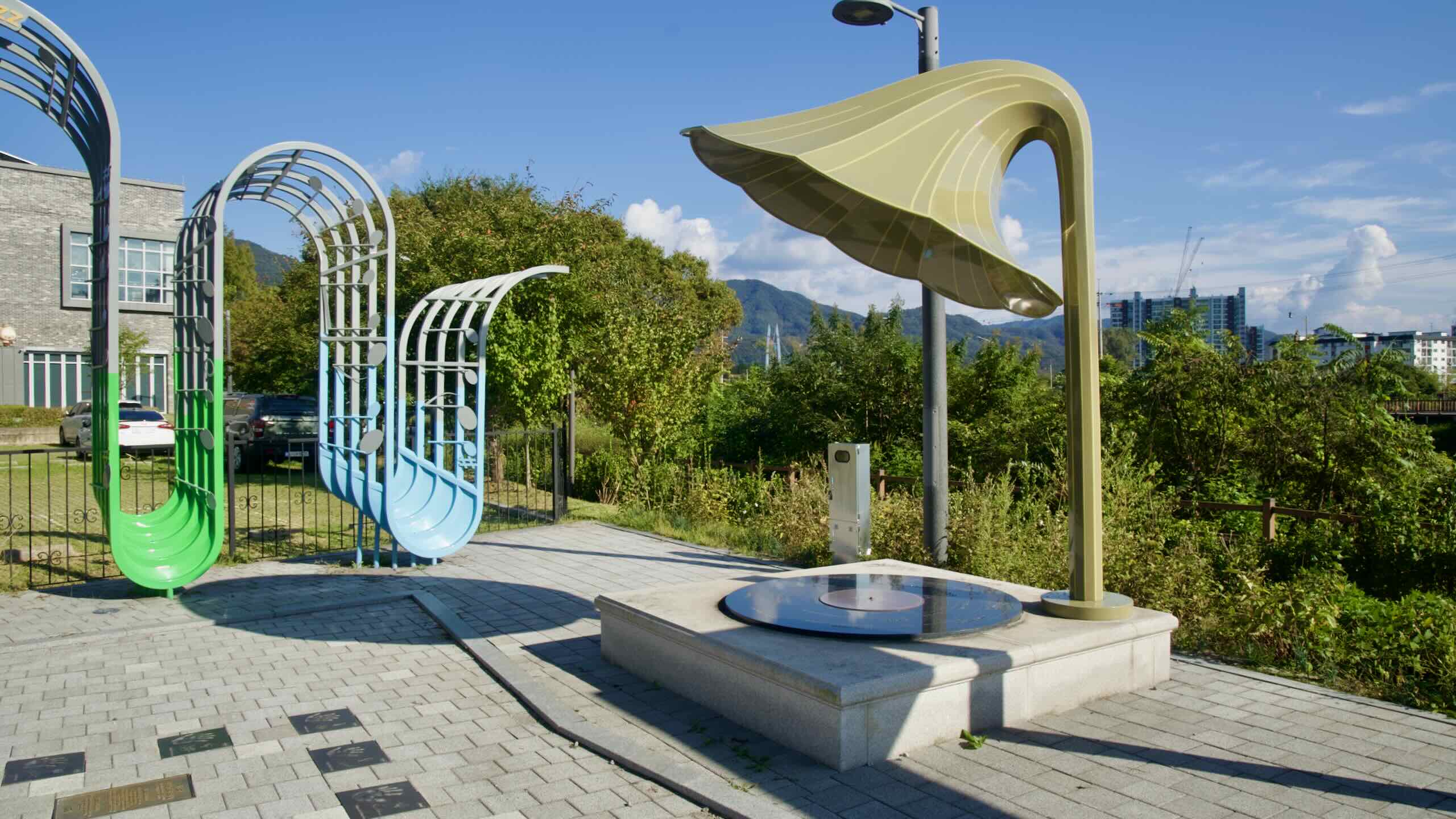
To earn the Bukhangang certificate, collect all four stamps on this path. They count toward the Grand Slam award and make a great souvenir. The Bukhangang Bike Path isn’t part of the Cross-Country Route, though its southern end intersects with it.
Below are the four Bukhangang stamp booths, listed north to south.
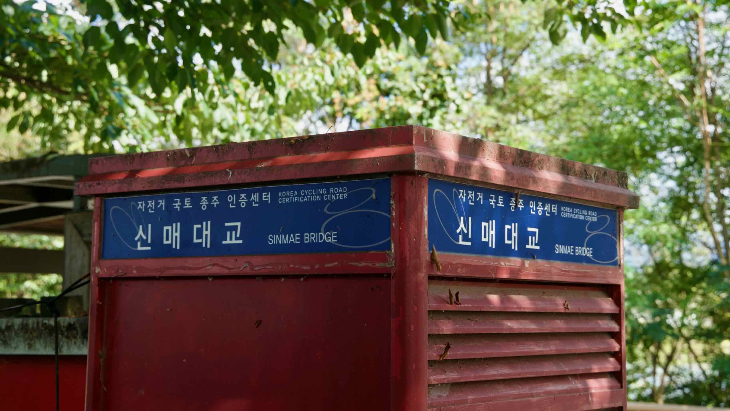
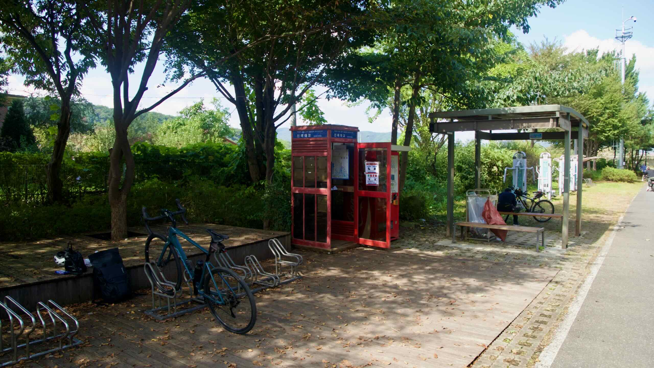
This unmanned stamp booth marks the official start of the Bukhangang Bike Path on the west bank of Sinmae Bridge in Chuncheon. After pedaling through downtown and crossing the bridge, follow blue cycle-route signs down to the riverbank. Within a few hundred meters, you’ll spot a red booth tucked beside a shelter and bike racks.
Stamp your Bike Passport here before starting the riverside ride. The booth has no passport store, so pick up your passport in advance. Water and restrooms are available at nearby parks.
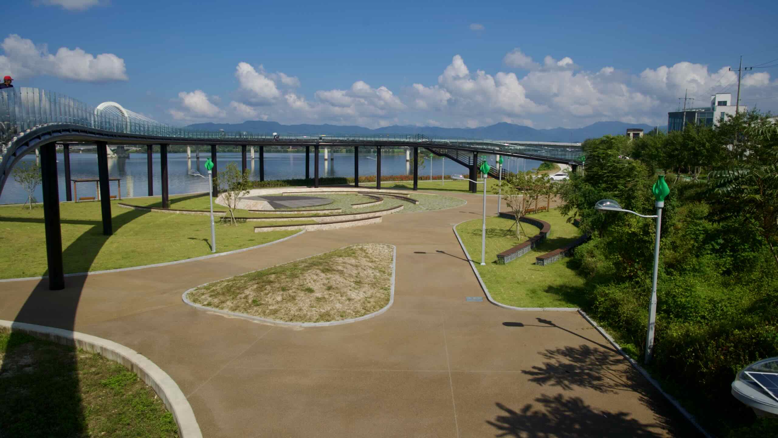
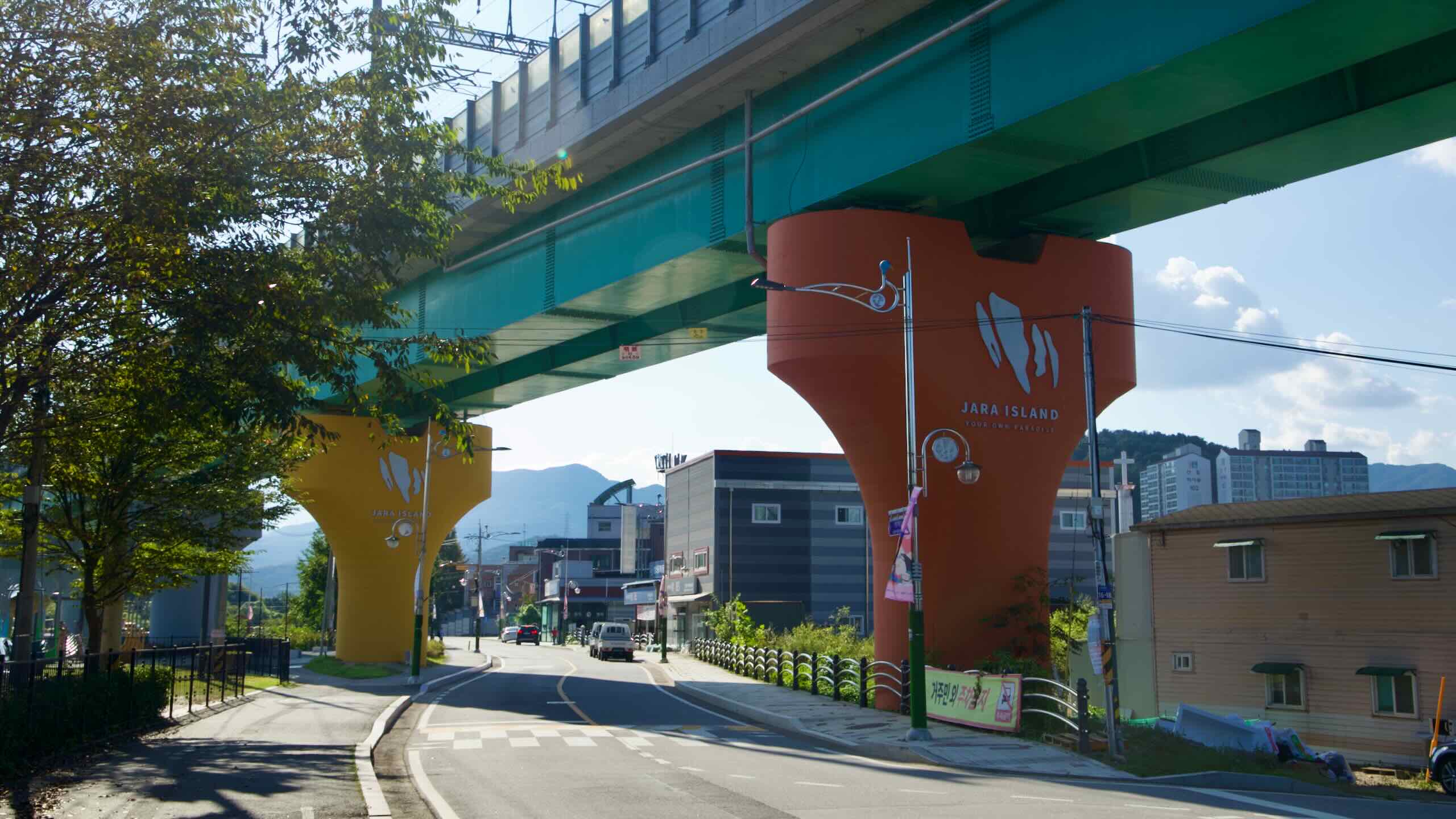
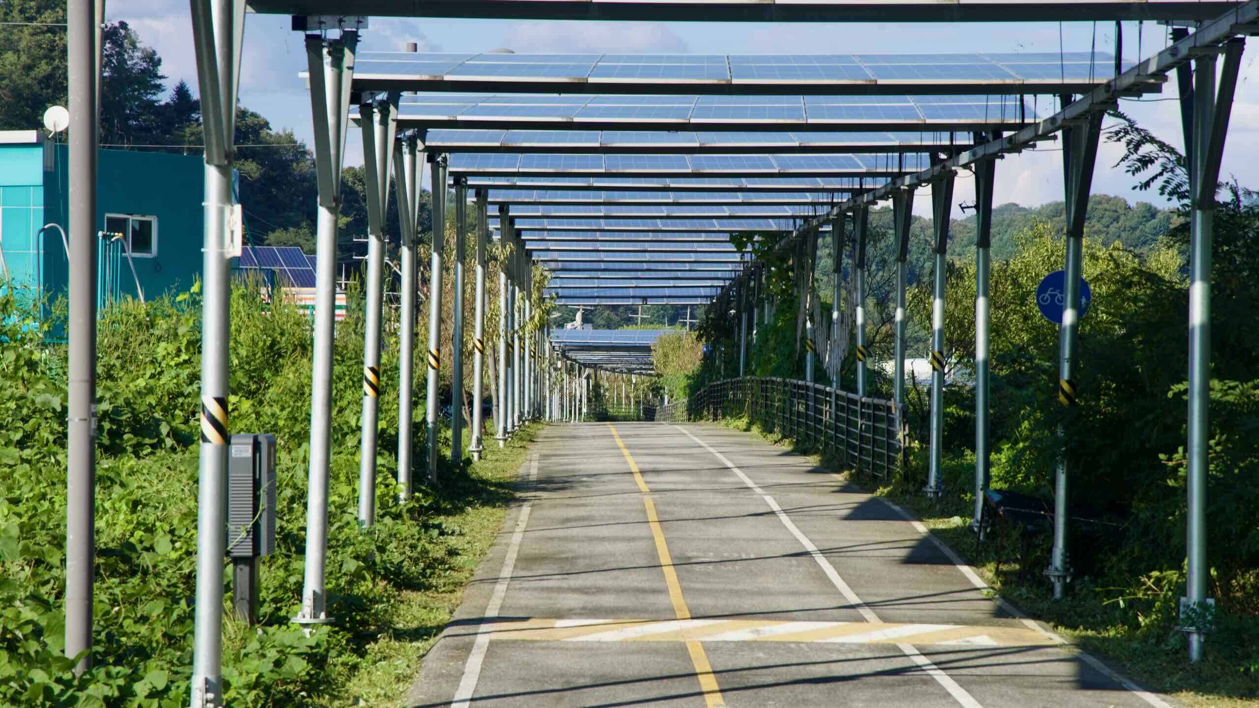
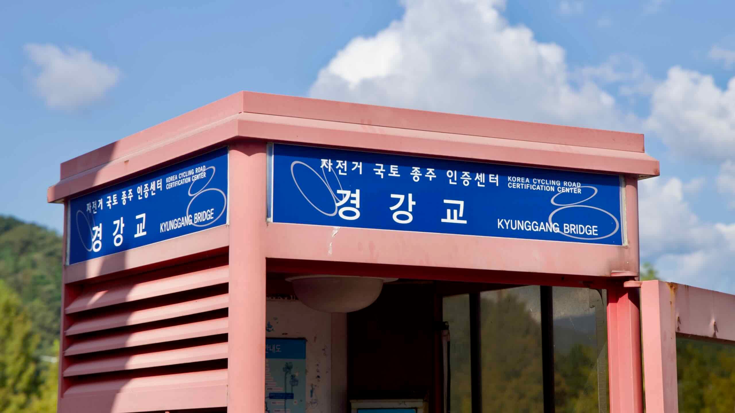
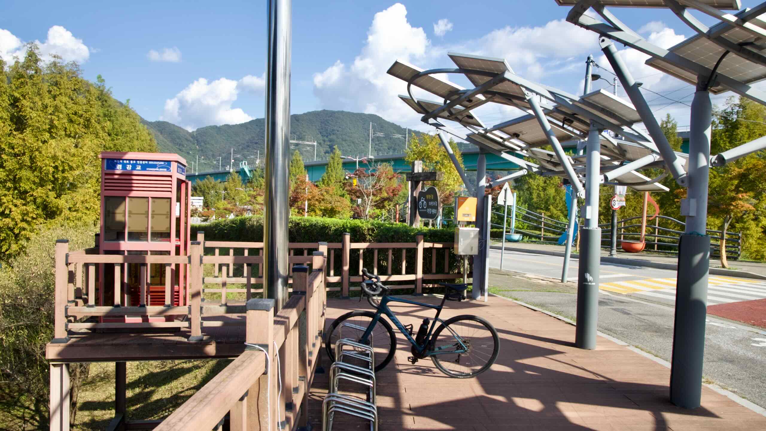
After entering Gangchon Village via Gyeonggang (Kyunggang) Bridge (map), descend, curl back toward the river, and ride the sidewalks above Jara Island’s riverside park. You’ll reach a roundabout—look for the stamp booth beneath solar panels and beside benches.
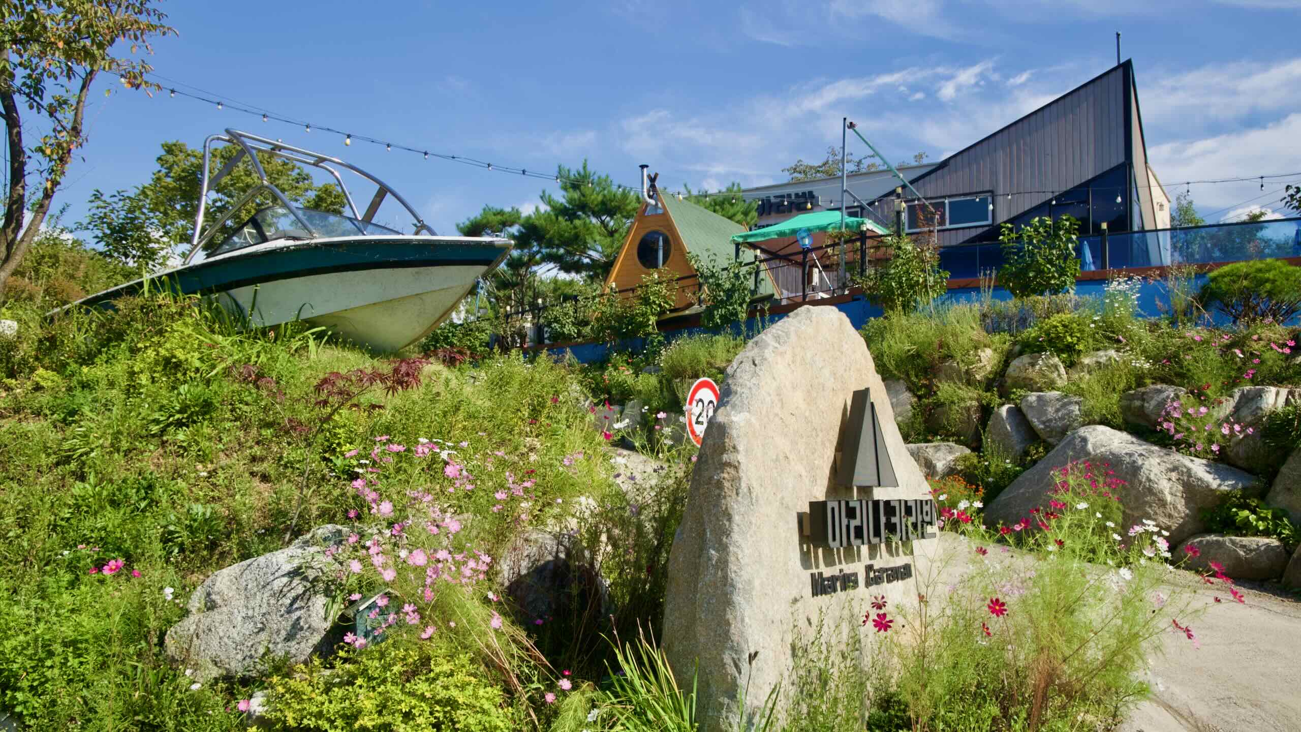
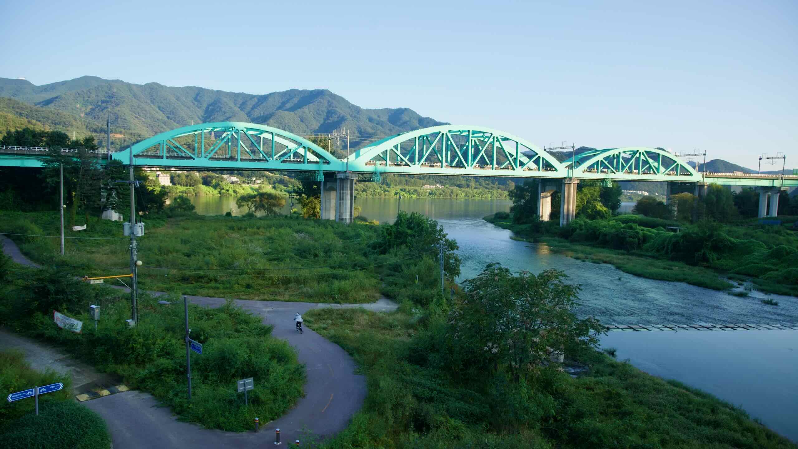
Grab your second stamp while enjoying views of Gyeongchun Line trains soaring above the river on the rail bridge, or detour onto Jara Island nearby. Restrooms and cafés are a short ride away in Gapyeong Town.
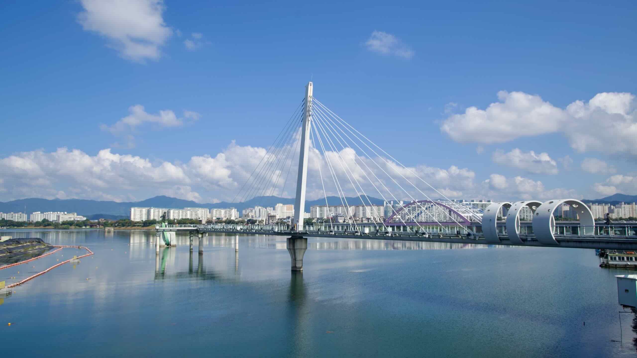
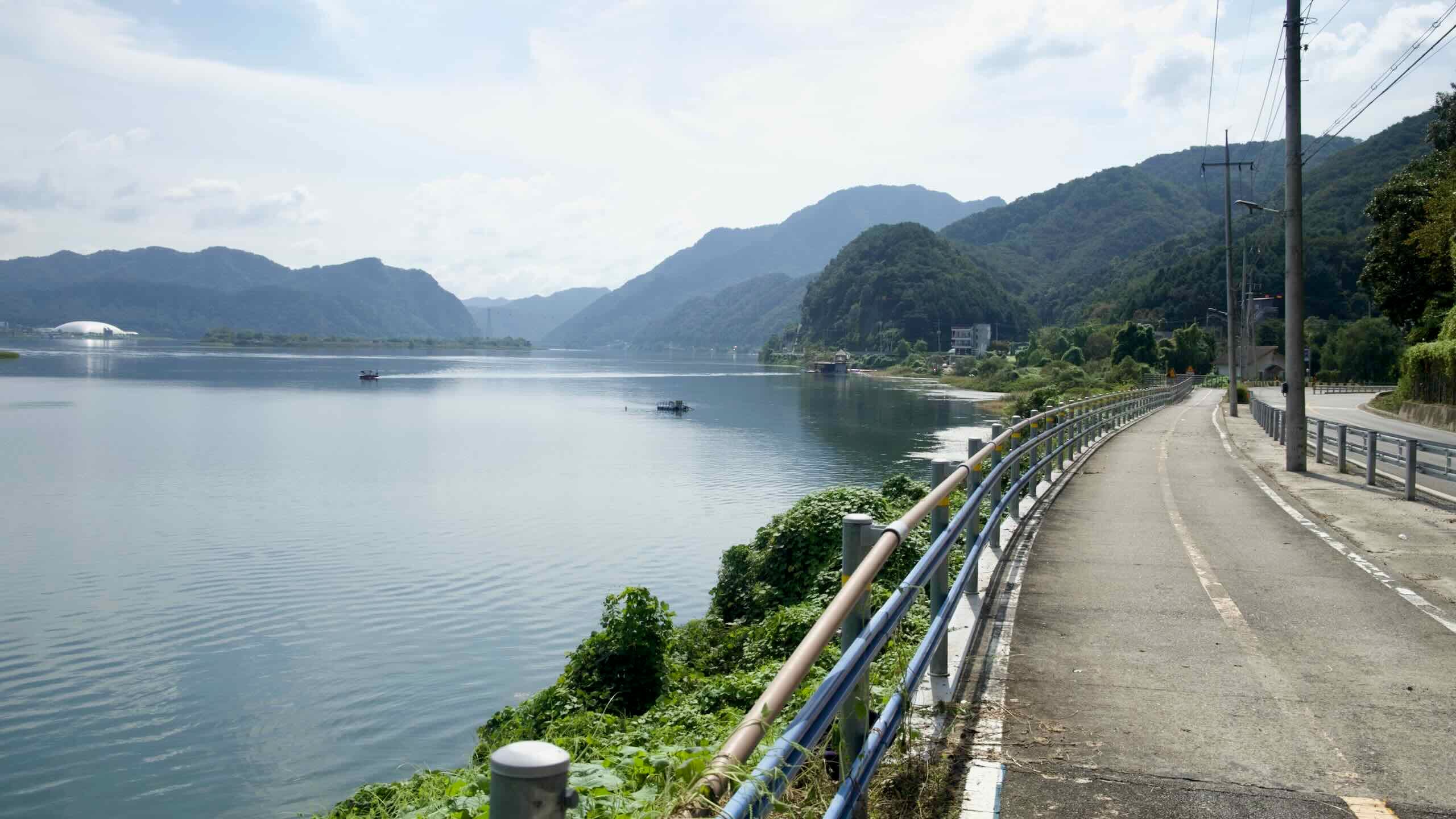
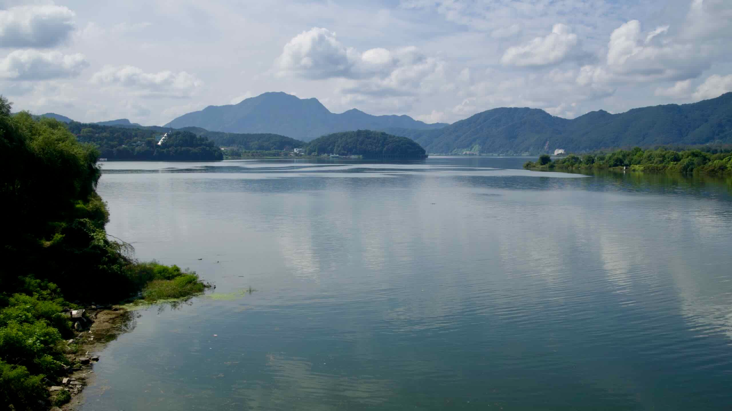
The North Han River (북한강; map) is one of two main Han River tributaries—Korea’s most culturally significant waterway. Stretching 317 kilometers with a 10,834-square-kilometer basin, it flows from its source at Mount Kumgang in North Korea. The river threads through Gangwon and Gyeonggi Provinces before merging with the South Han River at Yangsu Village to form the Han River.
With its strong current, the North Han River is an excellent waterway for dam construction, forming lakes like Paro Lake and Chuncheon Lake. These reservoirs provide irrigation and hydroelectric power, and they create hubs for water recreation. The river also plays a central role in Korea’s cultural and ecological heritage, linking communities and fostering biodiversity.
The Bukhangang Bicycle Path connects Seoul with Chuncheon City, covering a 70.4-kilometer route along the North Han River (Bukhangang). It follows an old rail line, passing scenic lakes, riverside parks, and low mountain ranges.
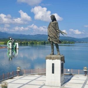
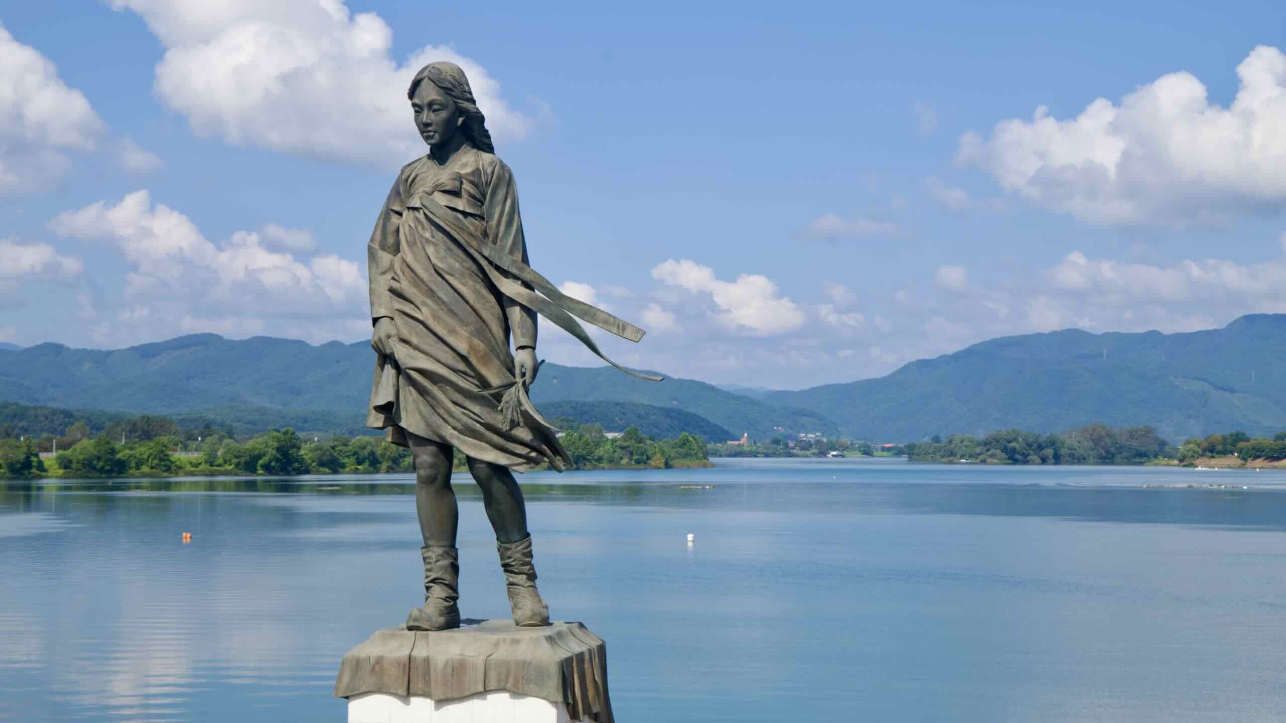
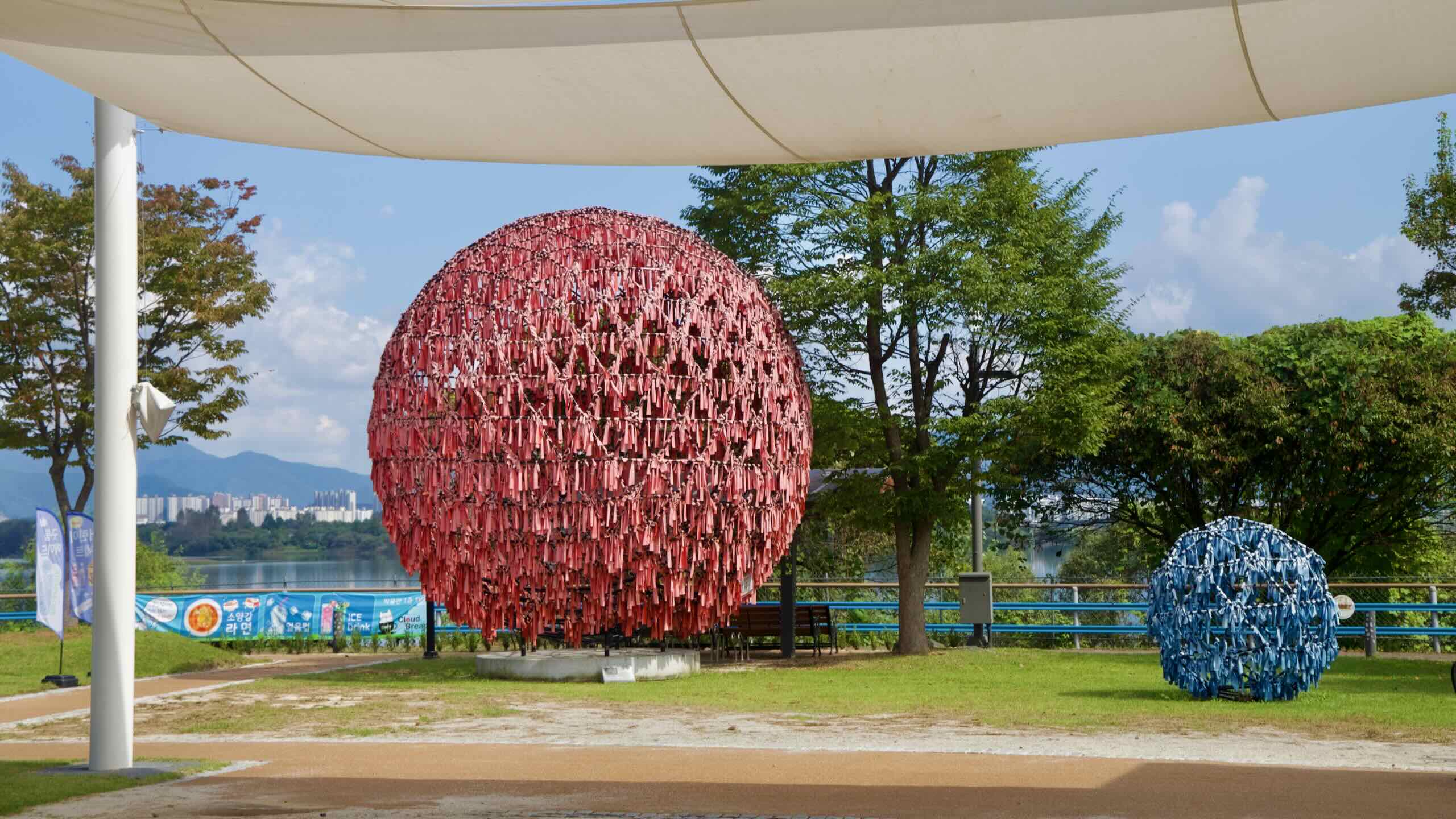
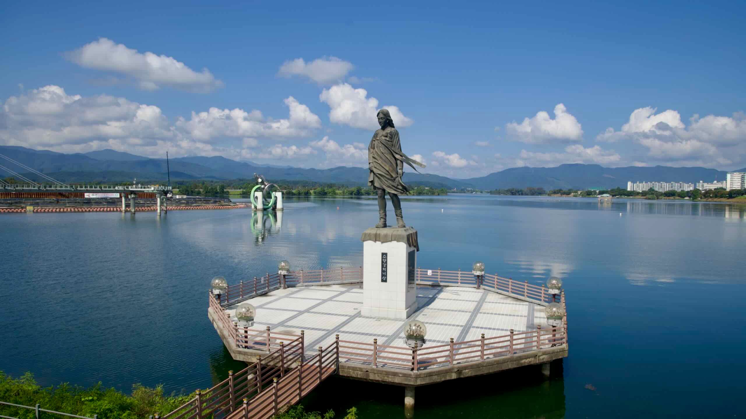
The Soyang River Maiden statue stands above Uiam Lake with forested hills beyond.
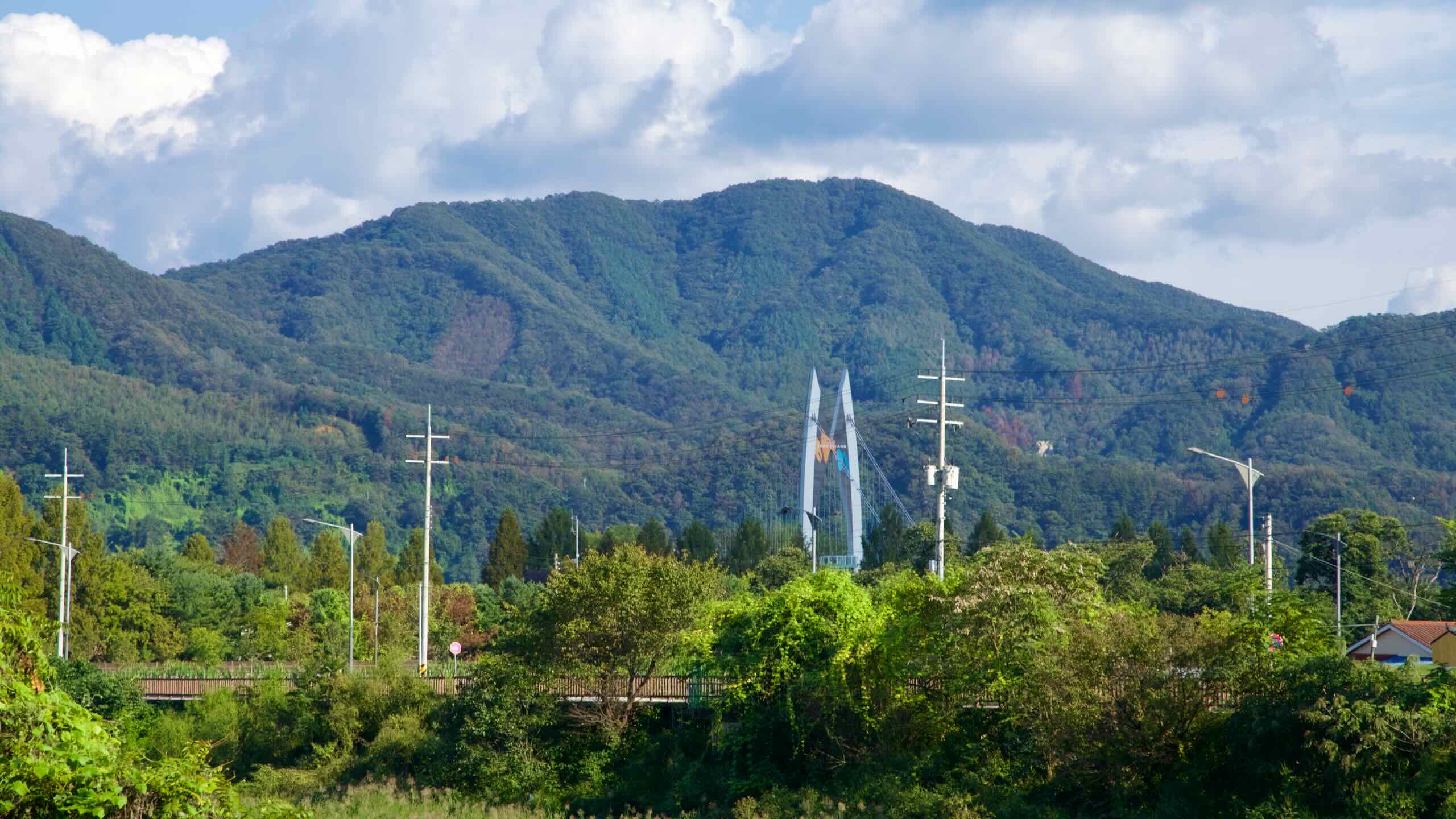
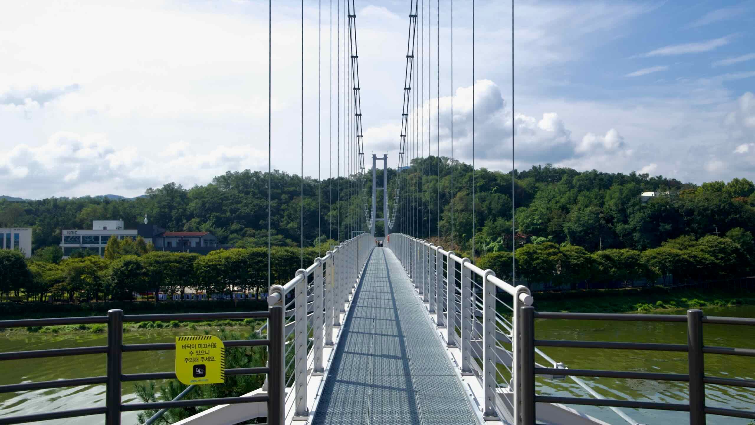
Chuncheon City sits northeast of Seoul along the North Han River (Bukhangang). Known as the “Romantic City,” it blends urban life with historical and cultural highlights, from architectural landmarks like the Soyang River Skywalk to culinary experiences on Chuncheon Dakgalbi Street.
Lake Uiam fills the frame beneath layered green ridges and scattered clouds near Chuncheon’s Sairo 248 bridge.
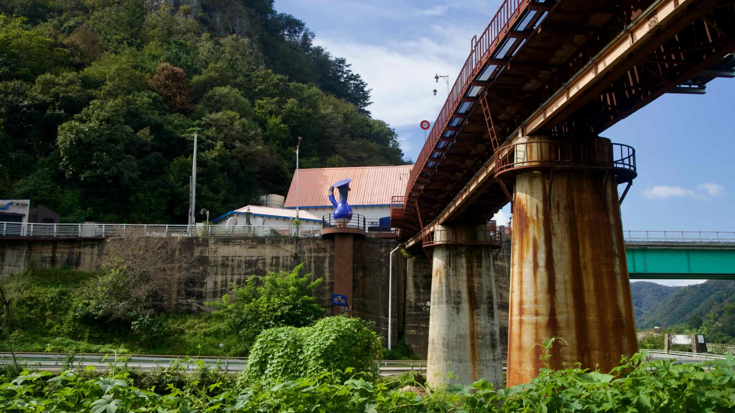
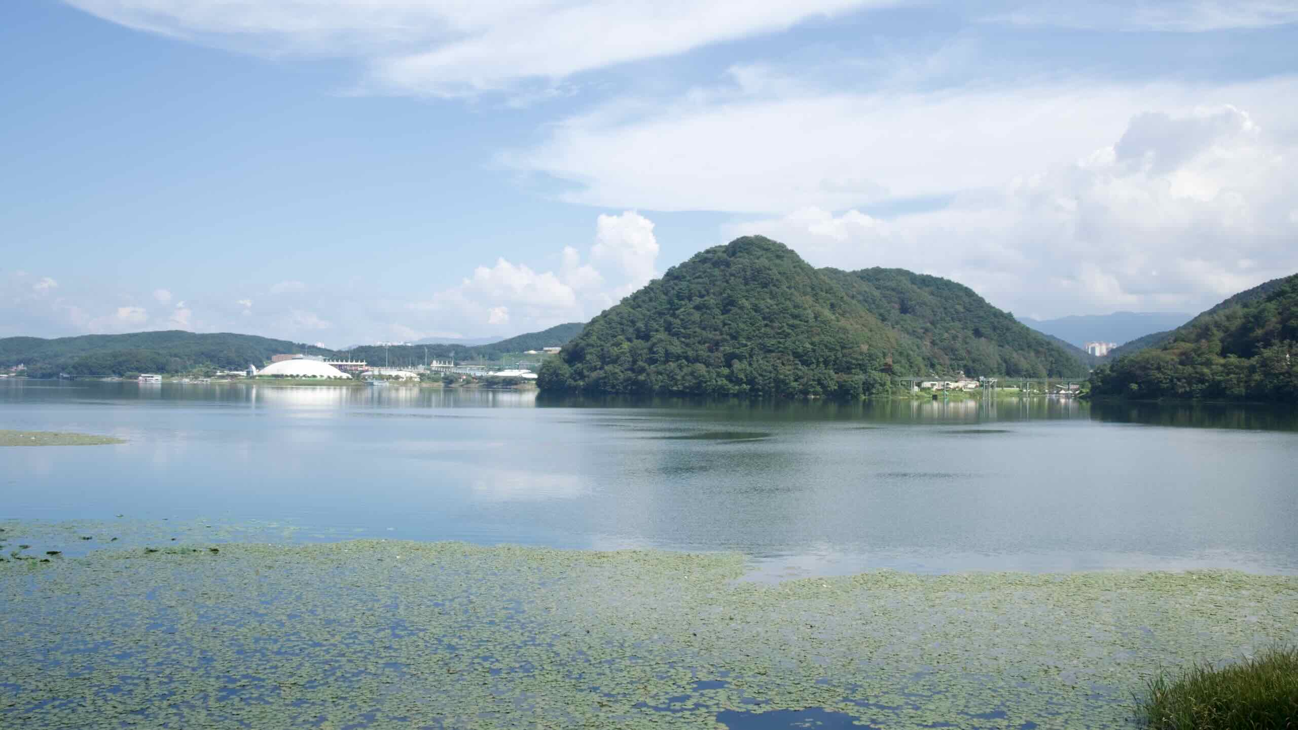
Lake Uiam is a man-made reservoir near downtown Chuncheon City, Gangwon State. Created in 1967 with the construction of Uiam Dam, which powered South Korea’s modernization efforts in the mid-20th century. The dam not only supplies electricity but also regulates water flow to prevent flooding in the region.
Spanning an area of 15 square kilometers, the lake stretches 8 kilometers in length and 5 kilometers in width, nestled in a mountainous landscape below Samak Mountain.
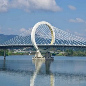
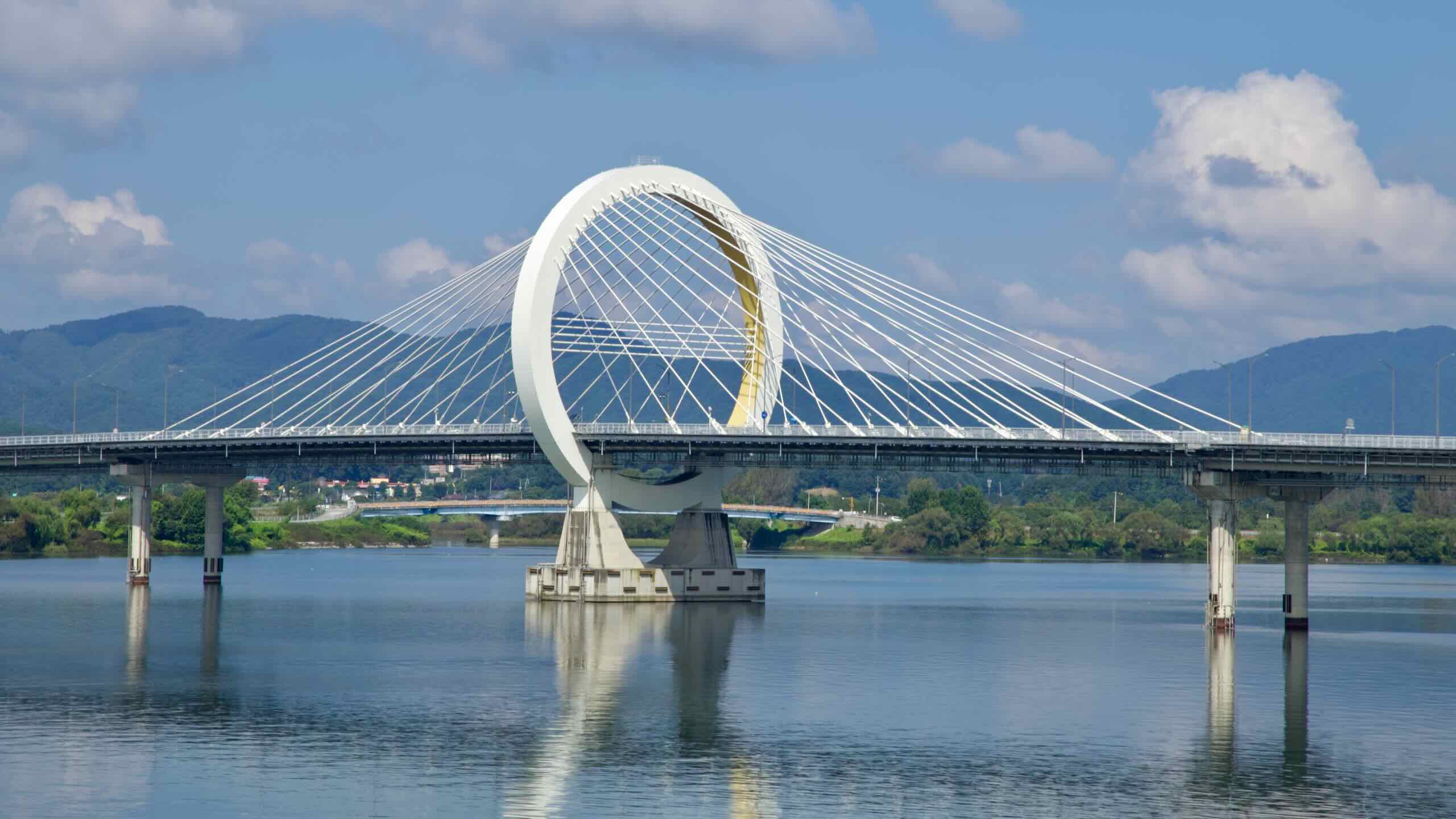
Uiam Lake stretches toward Hajungdo, Legoland’s tower, and the white arch of Chuncheon Grand Bridge.
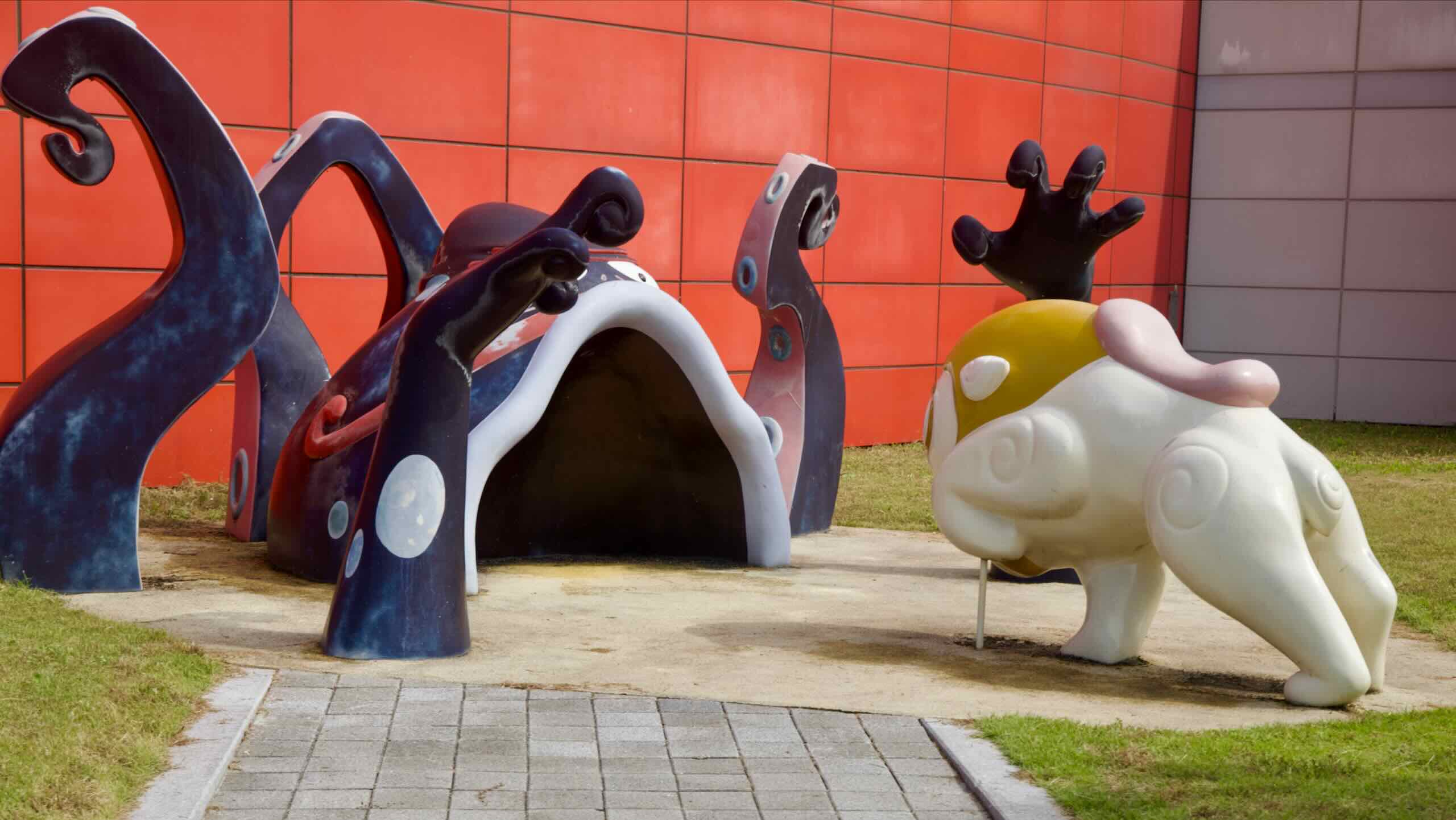
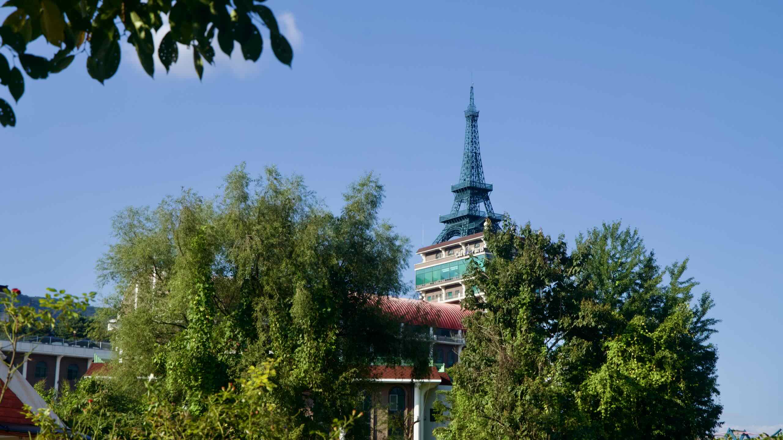
Nestled on Hajungdo Island in Chuncheon City, Gangwon State, Legoland Korea Resort is a premier family destination that blends creative exploration with thrilling entertainment.
Opened on May 5, 2022, it holds the distinction of being the first Legoland built on an island and the second in Asia, following Legoland Japan. Covering 280,000 square meters, it offers a diverse mix of Lego-themed rides, hands-on attractions, and immersive experiences designed primarily for families with children aged 2 to 12.
The red and white Animation Museum facade features a towering yellow robot sculpture at the entrance.
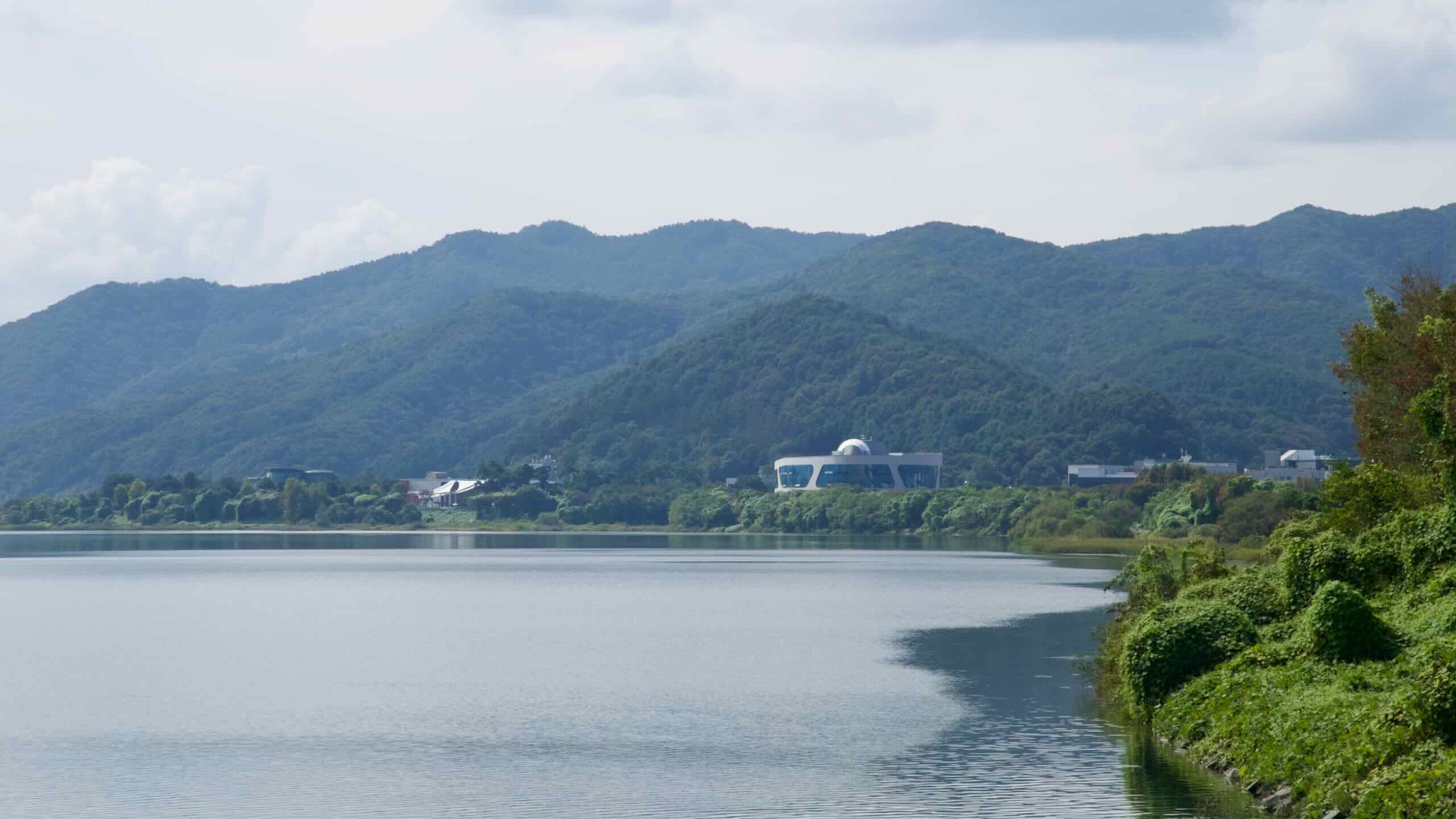
The Animation Museum, just west of downtown Chuncheon City on the Bukhangang Bike Path, celebrates the history and art of animation. Since opening in 2003, it has showcased Korea’s rich animation heritage while exploring global influences on the medium. The museum blends exhibits with interactive experiences, offering something for animation fans of all ages.
The Animation Museum highlights Korea’s role in the global animation industry. Exhibits detail the rise of Korean studios as key players in animation production, particularly during the 1980s and 1990s, when they contributed to internationally acclaimed series and films, such as The Simpsons, Batman: The Animated Series, Gargoyles, Animaniacs.
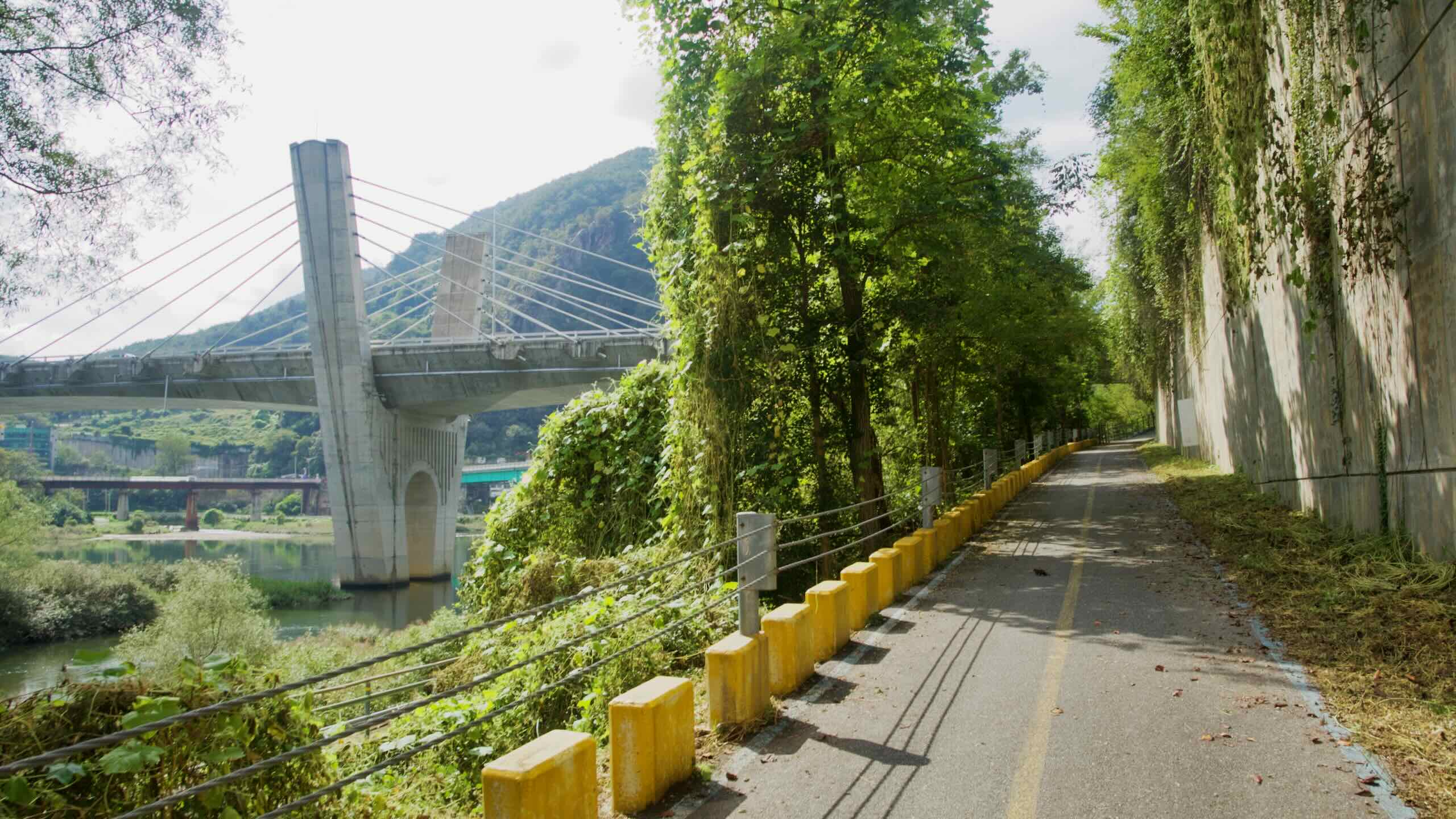
The Bukhangang Bike Path brushes against the Hangang Bike Path near Seoul, which means you have a variety of ways to hop on and off this river ride.
Two modes of public transport stand out for cyclists: trains and intercity buses. Choosing between them depends on whether you’re hauling a full-size bike and when you plan to travel.
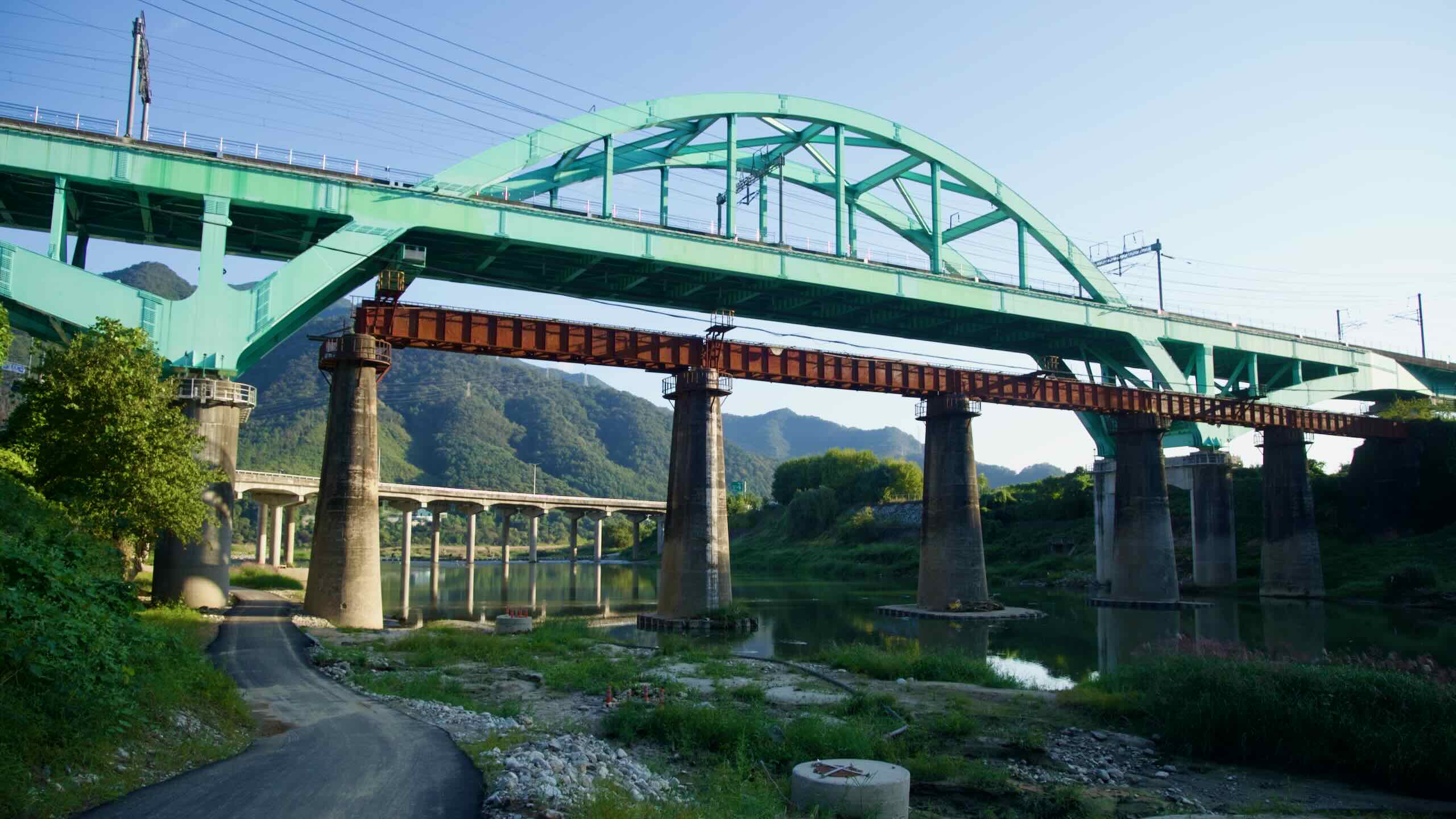
The North Han River corridor parallels two rail lines that link Seoul with Chuncheon and Namyangju. These trains offer the quickest access to either end of the bike path, but they come with a few bike-carrying caveats.
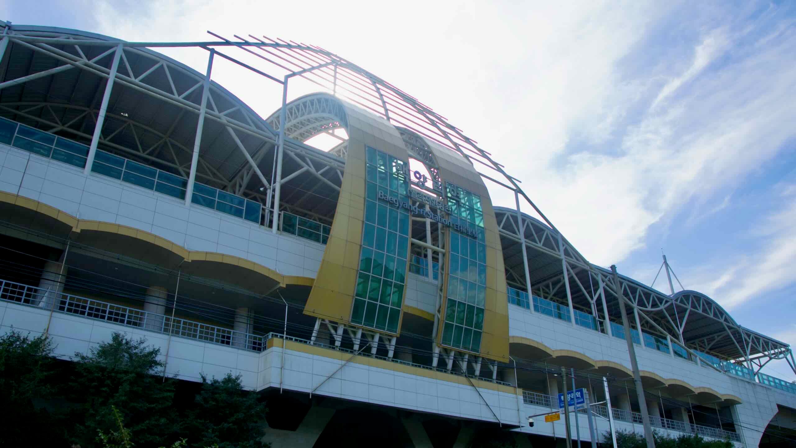
Gyeongchun Line / ITX‑Chuncheon: The old Gyeongchun railway has been upgraded into a commuter rail and express service between Seoul and Chuncheon. ITX-Chuncheon trains were designed with bicycle seats, but they’re limited and must be booked in advance. On busy days, travelers have been turned away even after buying a bike ticket—so reserve a bike seat whenever possible, and be prepared to take the slower local train if space runs out. The ITX service stops at Chuncheon, Gapyeong, Cheongpyeong, and Sangbong stations, all within a few kilometers of the bike path. From Chuncheon Station, it’s a 10-kilometer ride through downtown to the Sinmae Bridge starting point. From stations in Gapyeong or Cheongpyeong, you can join the path mid-way.
Gyeongui–Jungang Line: This metropolitan subway line follows the Han River east from Seoul and passes through Namyangju…
When train tickets sell out—or when you want a sure-fire way to transport a full-size bike—intercity buses are the workhorse of Korean cycle touring. Buy a ticket and stow your bike in the luggage compartment below.