Tour Jamwon Hangang Park on the Han River Bike Path in Seoul.
22.3 km (Seoul (South Side))
41.6%
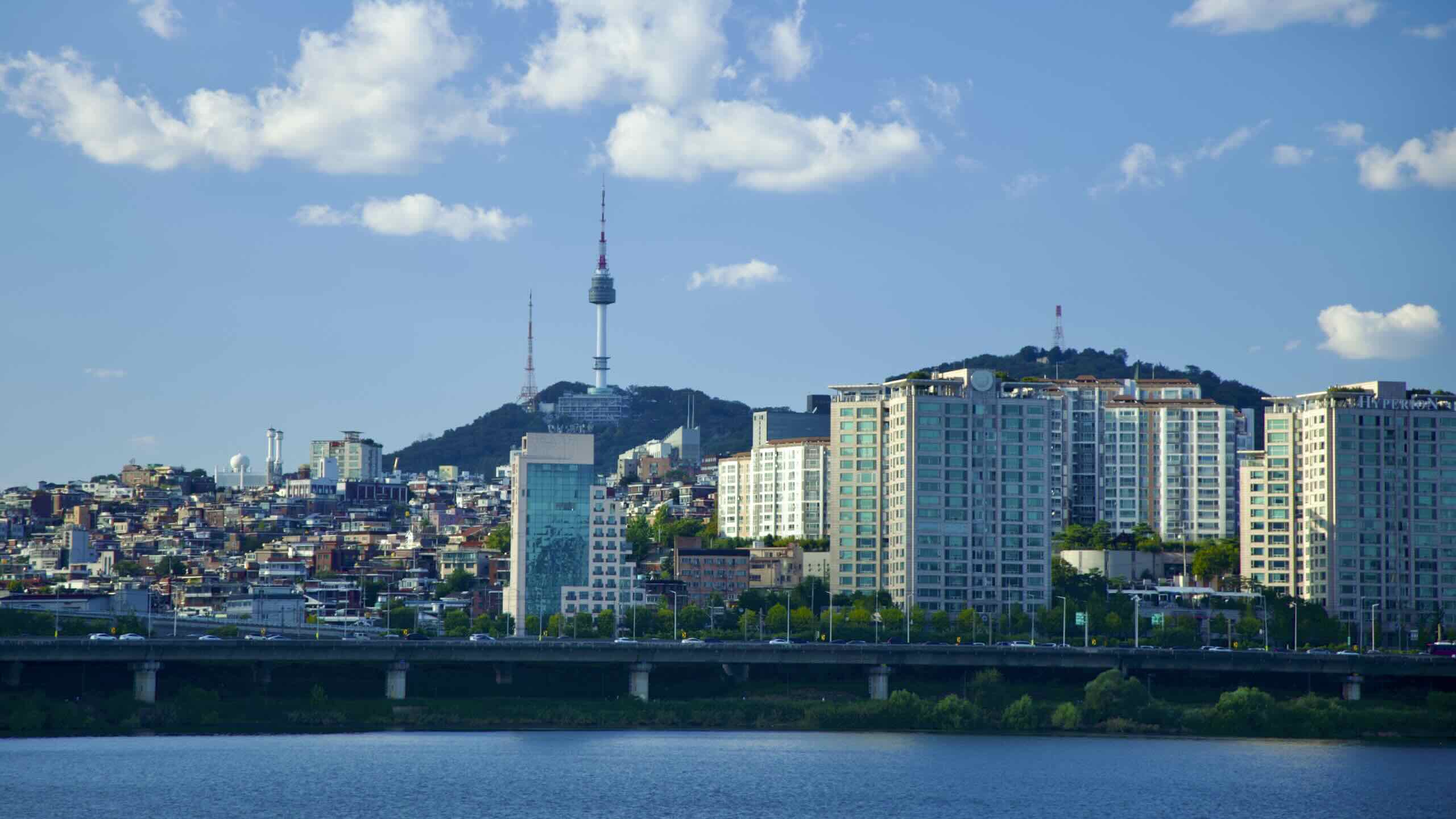
Jamwon Hangang Park (잠원한강공원; map) features standard park accouterments: sports fields, grassy picnic areas, and gardens. Oh, and it sits two minutes away from Korea’s famed Gangnam District.
Jamwon Hangang Park (잠원한강공원; map) doesn’t boast top-of-the-line landmarks like Yeouido or Banpo. Instead, you’ll find… a park. Ideally suited for everyday folks. It features:
During the Joseon Dynasty (대조선국; 1392 CE ~ 1897 CE), worms filled the neighborhood’s riverside mulberry trees. They devoured tree leaves and pooped out the region’s riches: silk.
From Banpo Hangang Park, ride under Banpo Grand Fountain Bridge and into Jamwon. Pass an expansive courtyard with brick-backed mounds (road view). Park goers gather here at night to watch the fountain bridge’s water and light show.
The project places sculptures and installations in every Hangang Park throughout the year. Jamwon and Jamsil may get sculptures between May and August. Banpo, Yeouido, and Ttukseom get a turn in September and October. Et cetera.
At the end of the year, the Heung Project cycle starts again. Workers install new works by walking paths and along the river. (Search “한강 ‘흥’ 프로젝트” to check your year’s schedule!)
Right of Seoul Wave Art Center floats a second building with “Yacht Club” written on top. It keeps several businesses, including a yacht club, steakhouse, and lounge.
Pedal on past a 3,000-capacity swimming pool complex (map) then pop out into a patch of green filled with trees and dirt walking paths. Venture into the thicket and discover white silk worm sculptures sprinkled about (road view).
During Joseon Dynasty (대조선국; 1392 ACE ~ 1897 ACE), residents of the Jamwon Neighborhood (map) planted clusters of mulberry trees on the banks of the Han River. The trees fed hordes of white silk worms, which excreted masses of luxurious silk.
Visit the park’s nature center (자연학습장; map) between May and October and you can observe worms spin silky cocoons.
Glance up at the eastside of Hannam Bridge. Discover the K-POP Experience Center (map; road view). Now closed, it was once a Han River bridge observatory. You can still borrow its elevator to ride up to Hannam Bridge’s deck, cross the river or view the scenery.
Beyond Hannam Bridge, find sports fields, and another pair of buildings floating on the Han River.
ON (오엔; map) combines water leisure sports — jet skiing and wakeboarding — and an Italian restaurant.
US Cruise (어스크루즈; map) is a restaurant and bar with a self-service beer tap. Shaped like a cruise ship, its floors also host small weddings and other events.
Up ahead, spot a T-intersection in front of a convenience store (road view). Head right to begin a 1.2-kilometer, 5 minute detour to a famed artist enclave (directions).
In the early 2000s, artists and small businesses fled rising rents in pricier parts of Gangnam and landed on Garosu Street (가로수길; map; Garosu-gil) in the Sinsa Neighborhood (신사동; map; Sinsa-dong). They opened art galleries, bookstores, and antique shops along this 700 meter stretch of ginkgo tree-lined street.
Money eventually caught up with Garosu Street. While quieter than Gangnam’s busy areas, Garosu and its eight side streets now sport upscale designer stores and pricey restaurants, and Euro-tinged cafés.
Olympic Boulevard smushes the bike path against the water’s edge. Follow the bike path as it glides above the river and around a horn for 4 kilometers (directions).
Pass under Seongsu Bridge (성수대교; map; excellent crossing point). A hundred meters later, beside the cycling path, spot a nondescript pedestrian tunnel… at least from the outside. (road view).
Welcome to the Apgujeong Rabbit Cave (압구정 토끼굴; map) — officially called the Apgujeong Interchange (압구정나들목).
The tunnel has two functions.
It’s a pedestrian-only underpass that lets citizens pass between the Han River and the wealthy Apgujeong Neighborhood in the Gangnam District.
It’s a sanctioned rebel-mural tunnel.
The Seoul judicial system isn’t a big fan of graffiti. They’ll impose a 3-year jail sentence or ₩7 million fine on any arrested wannabe-Banksies. Even put in an extradition request.
Apgujeong Rabbit Cave is different. Between 10 PM and 5 AM, anyone can pay a visit to the Rabbit Cave and make their mark using spray cans, stencils, brushes, or any other graphic tool.
Apgujeong Rodeo Street lies between Sinsa, Apgujeong, and Cheongdam Neighborhoods in Gangnam.
Do you have extra time packed away? Want to check out some glitziest locales? Head through Apgujeong Rabbit Cave. Pop out at the intersection of three swanky neighborhoods in north Gangnam.
The neighborhoods form Seoul’s Beverly Hills. Its 5th Avenue. Its Ginza. Boasting the city’s priciest real estate, Apgujeong, Cheongdam, and Sinsa hold the capital’s most visited commercial and shopping streets.
Cheongdam Fashion Street
The twin EAST and WEST Galleria Department Stores mark the center of the Cheongdam Fashion Street.
Cheongdam Fashion Street (청담패션거리; map) is a section of Apgujeong Road (압구정로; map). It flows across Apgujeong and Cheongdam. Along it, find a typical parade of luxury brands: Louis Vuitton, Cartier, Prada.
The twin EAST and WESTGalleria Department Stores mark the center of the Cheongdam Fashion Street. Outward from them, you’ll spot beauty shops, plastic surgery clinics, and more boutiques serving celebrities and customers with triple-platinum-diamond cards.
K-Star Road (K스타로드; map) occupies the same section of Apgujeong Road as Cheongdam Fashion Street.
Korea’s Hollywood Walk of Fame, the road features celebrity art embedded into its infrastructure. But K-Star Road doesn’t do gold stars and handprints. They go big!
Dotted throughout the road you’ll find three-meter tall GangnamDol statues with jumbo heads. Each figure lists the names of famous K-Pop personalities, including PSY, BTS and Twice.
Apgujeong Rodeo Street (압구정 로데오거리; map) is a grid of streets on the border of Sinsa, Apgujeong, and Cheongdam Neighborhoods. Its main entrance sits opposite the Galleria Department Stores on Cheongdam Fashion Street.
The area borrowed its name and spirit from Beverly Hills’ monument to money, Rodeo Drive.
Each day, known and unknown monied folks buzz around the boutiques, cafes, and surgery clinics in Apgujeong Rodeo’s fanciful backstreets.
To cross Yeongdong Bridge, follow a ramp to its main deck (road view). Stairs land down to the bike path on the North Side (road view).
To use Seongsu Bridge, take an elevator up to its main deck from the bike (road view). Roll across the river, then use another elevator to descend onto Ttukseom’s bike path.
Let’s get some Ttukseom ink? Cycle east from the bridges on the North Side — 2.4 kilometers from Seongsu Bridge (directions); 200 meters from Yeongdong Bridge (directions).
The Ttukseom Certification Center stamp sits on the north side of the Han River in Seoul. While unnecessary, you can cross the Han River using Yeongdong or Seongsu Bridges to reach it.