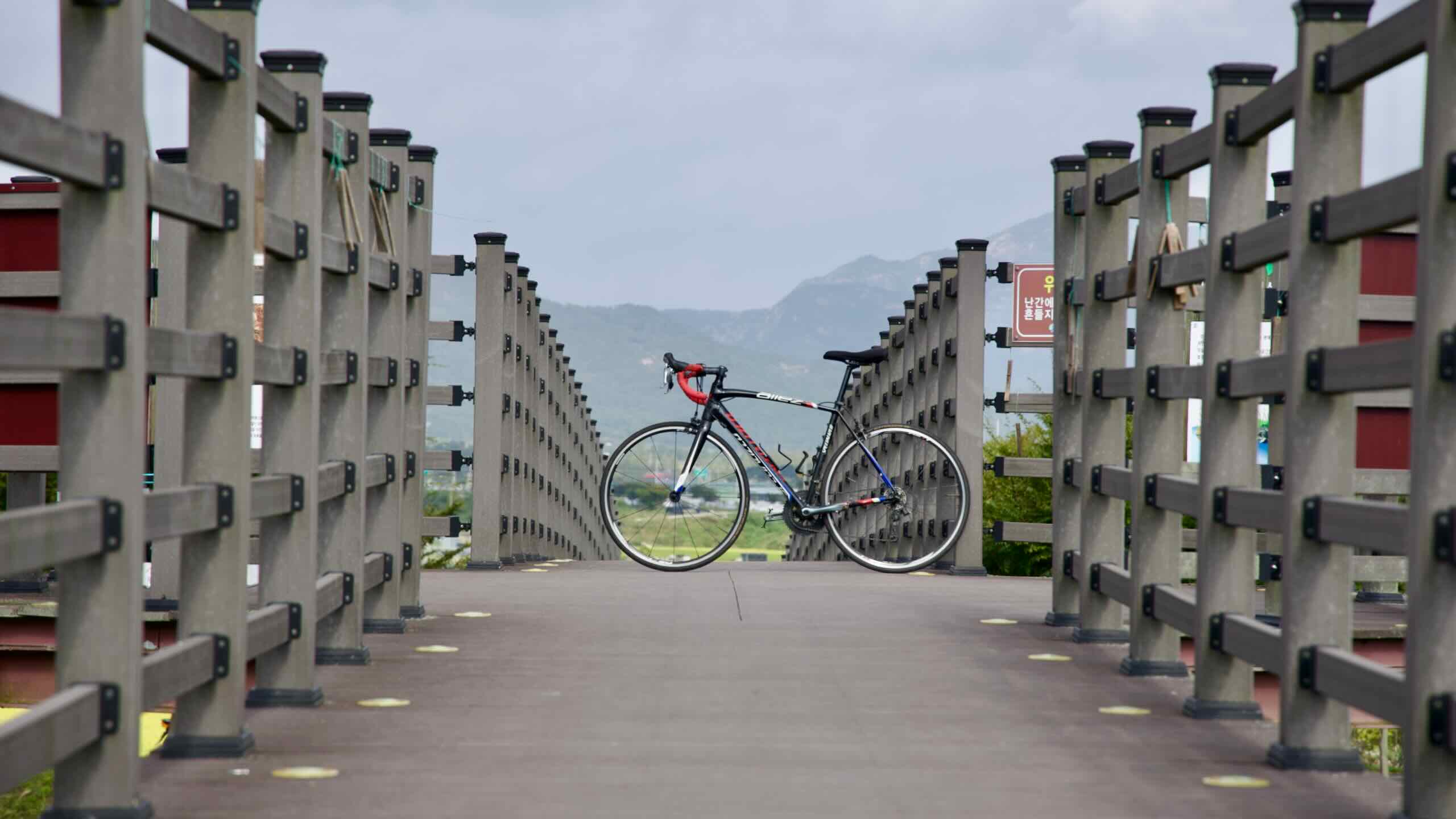
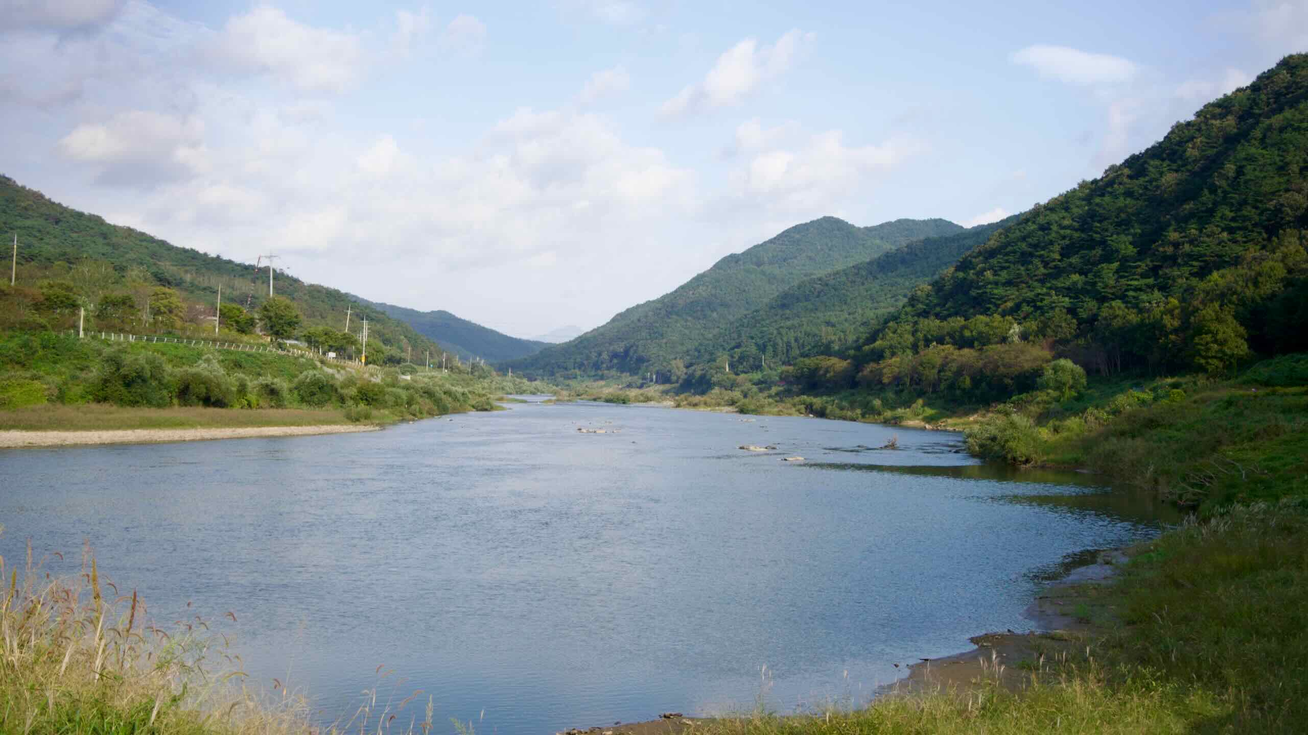
From a historic pavilion, track a set of historic rails down the Seomjin River, passing a train-themed amusement park, railbike course, rail village, and a picturesque suspension bridge.
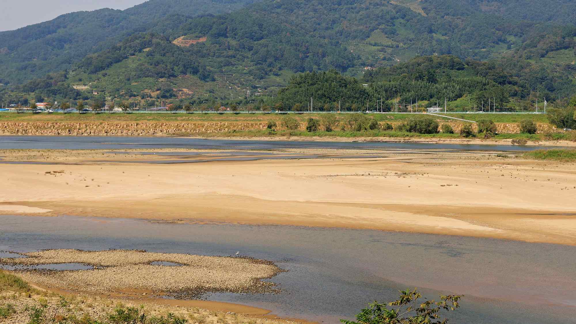
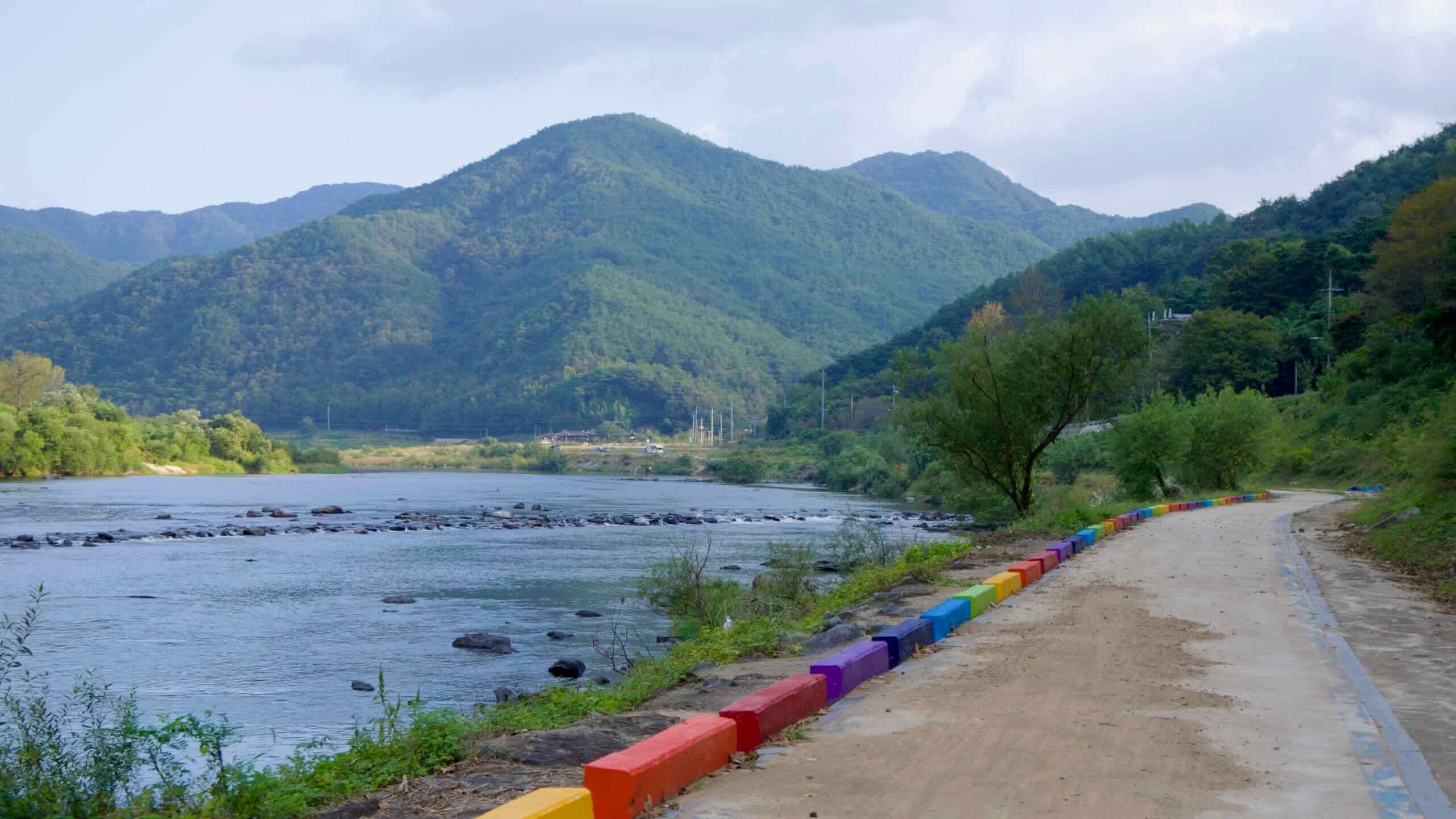
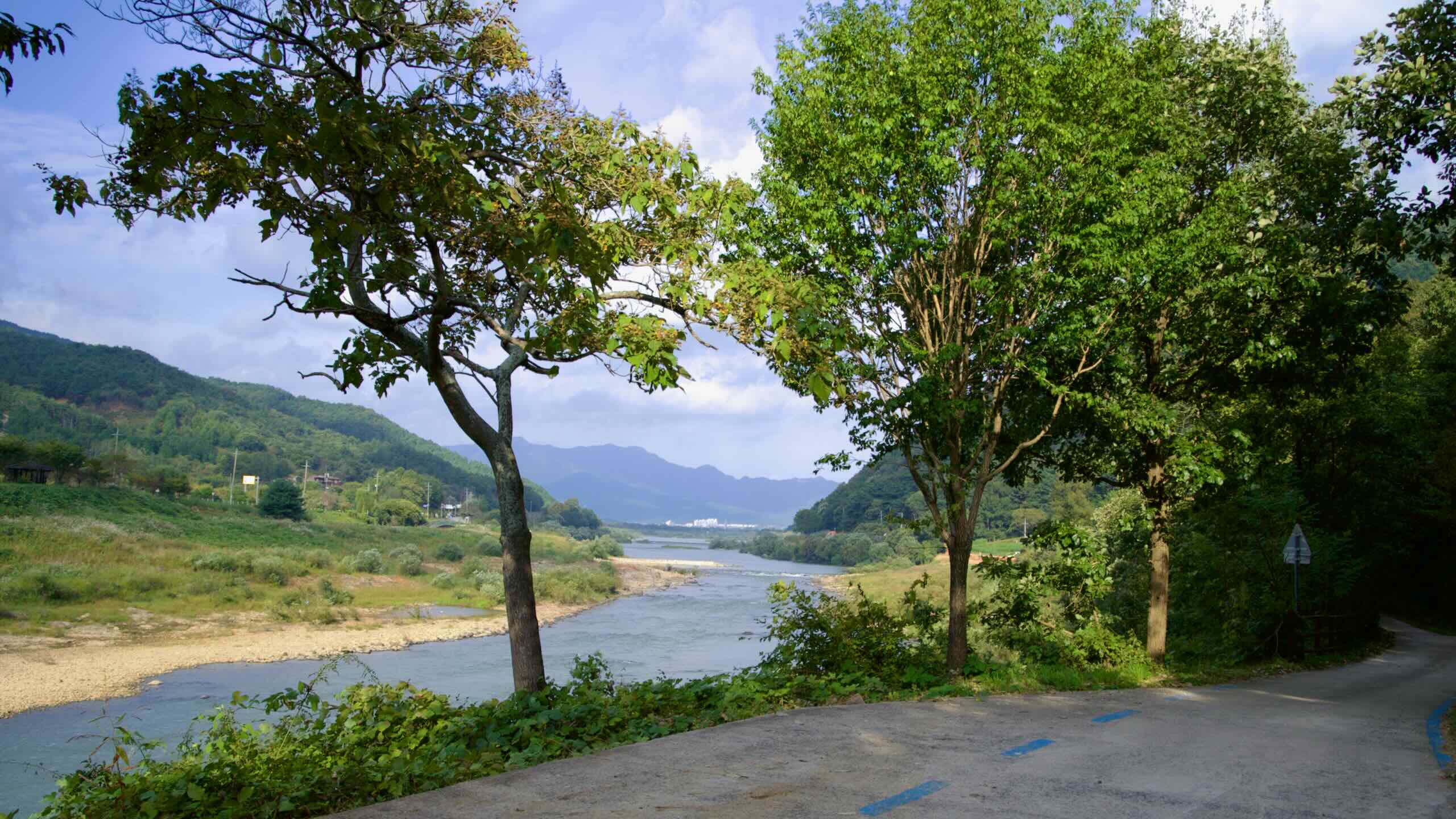
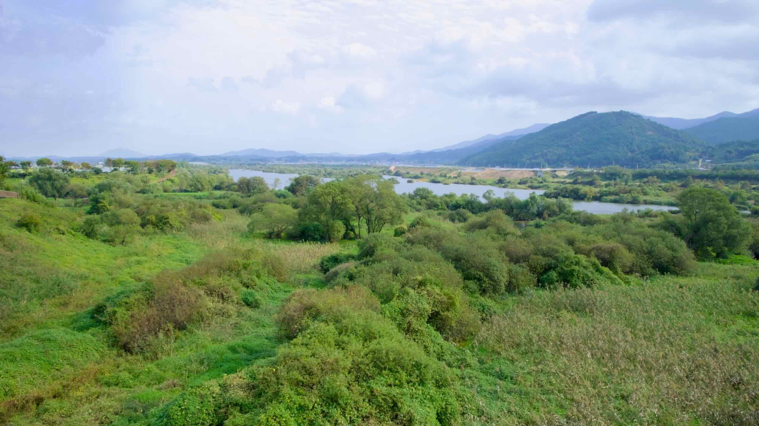
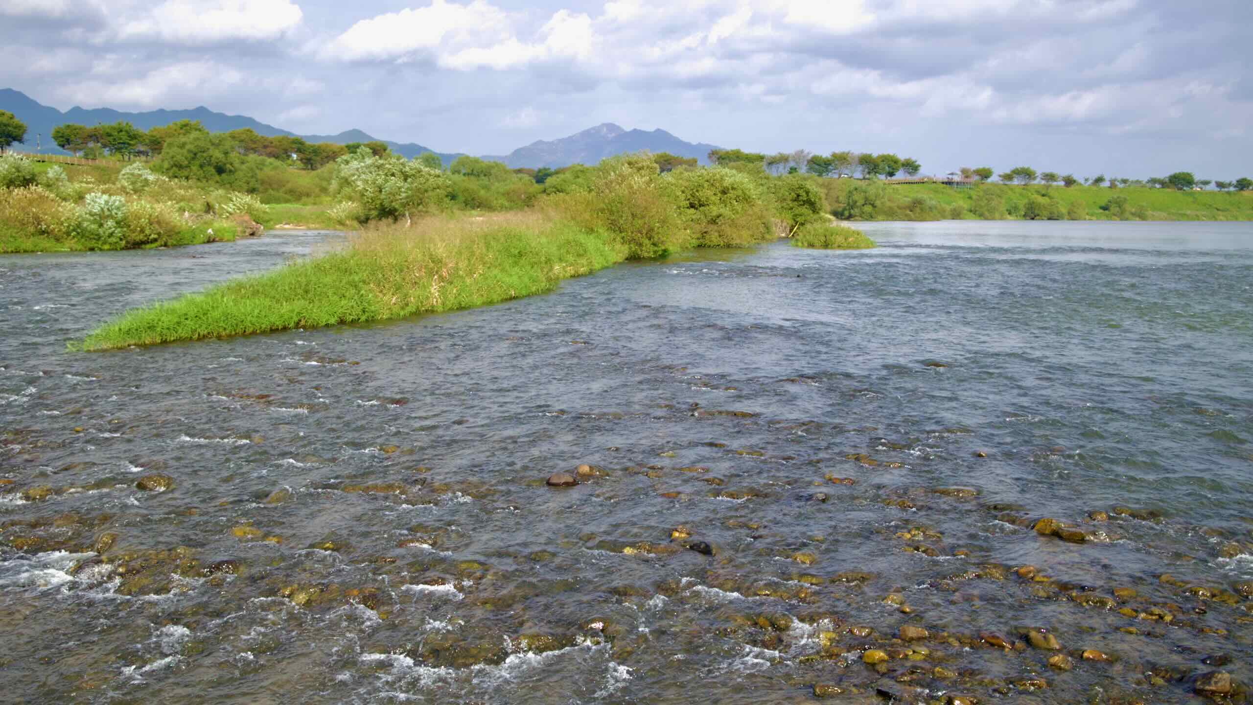
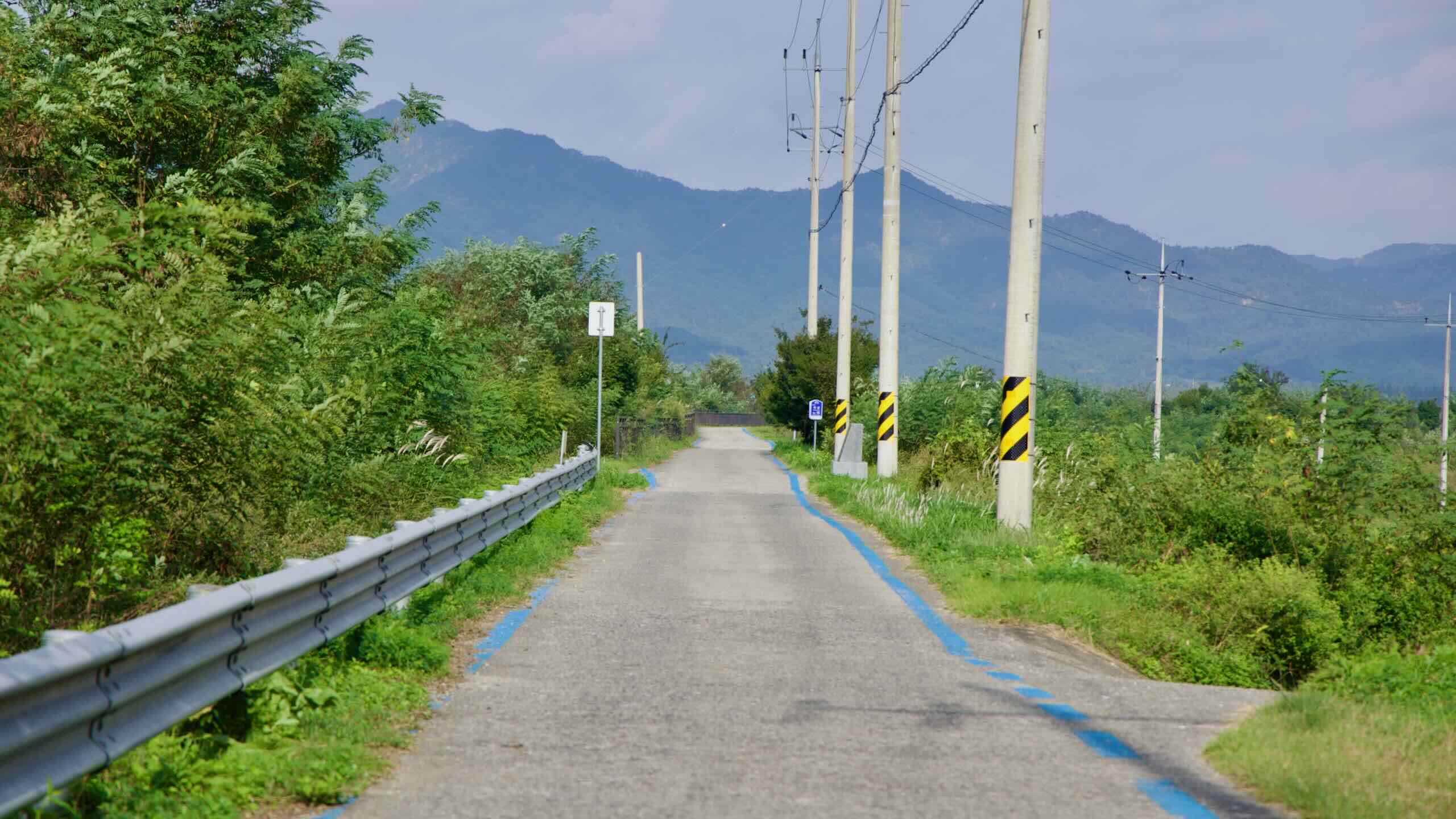
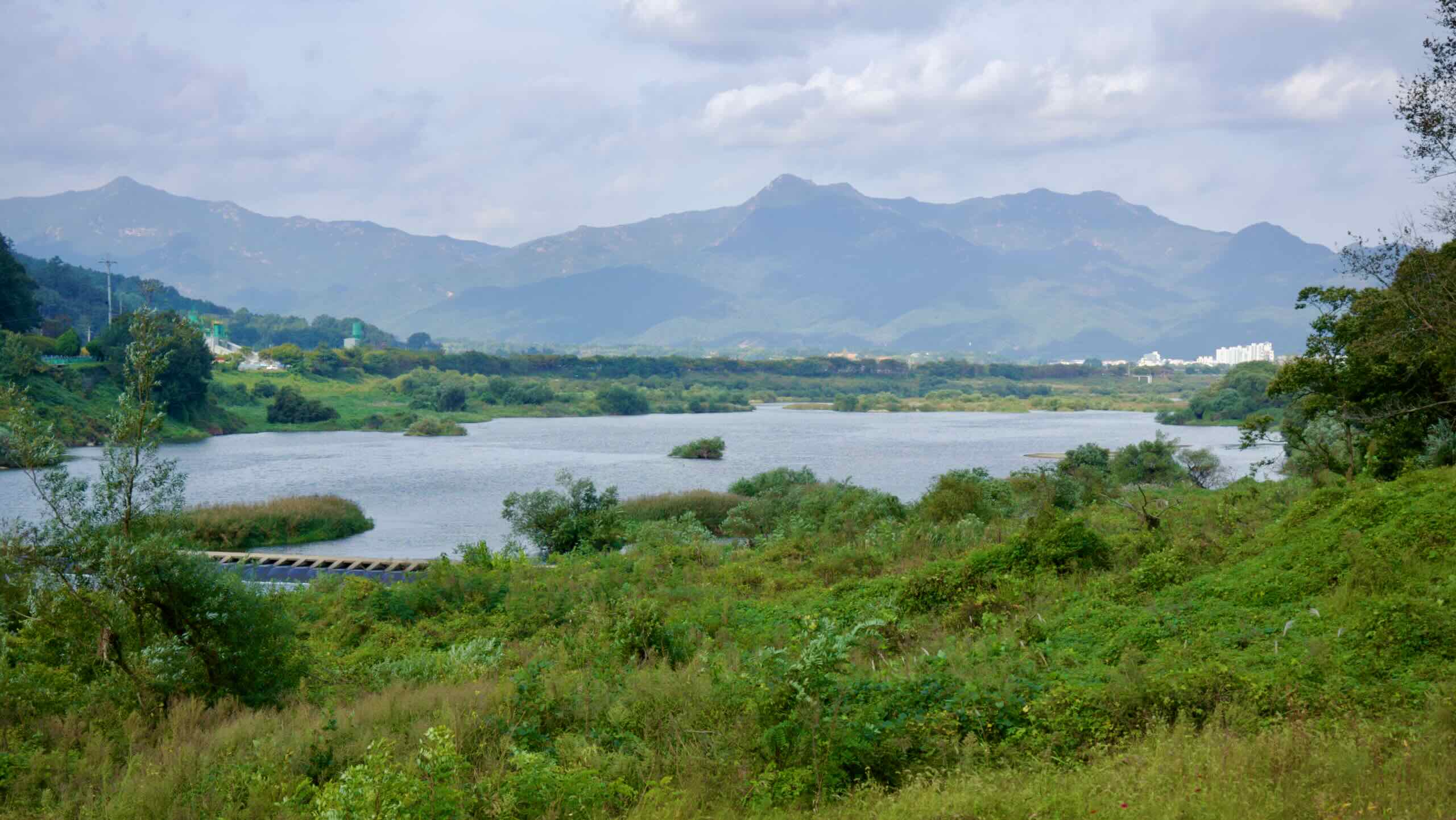
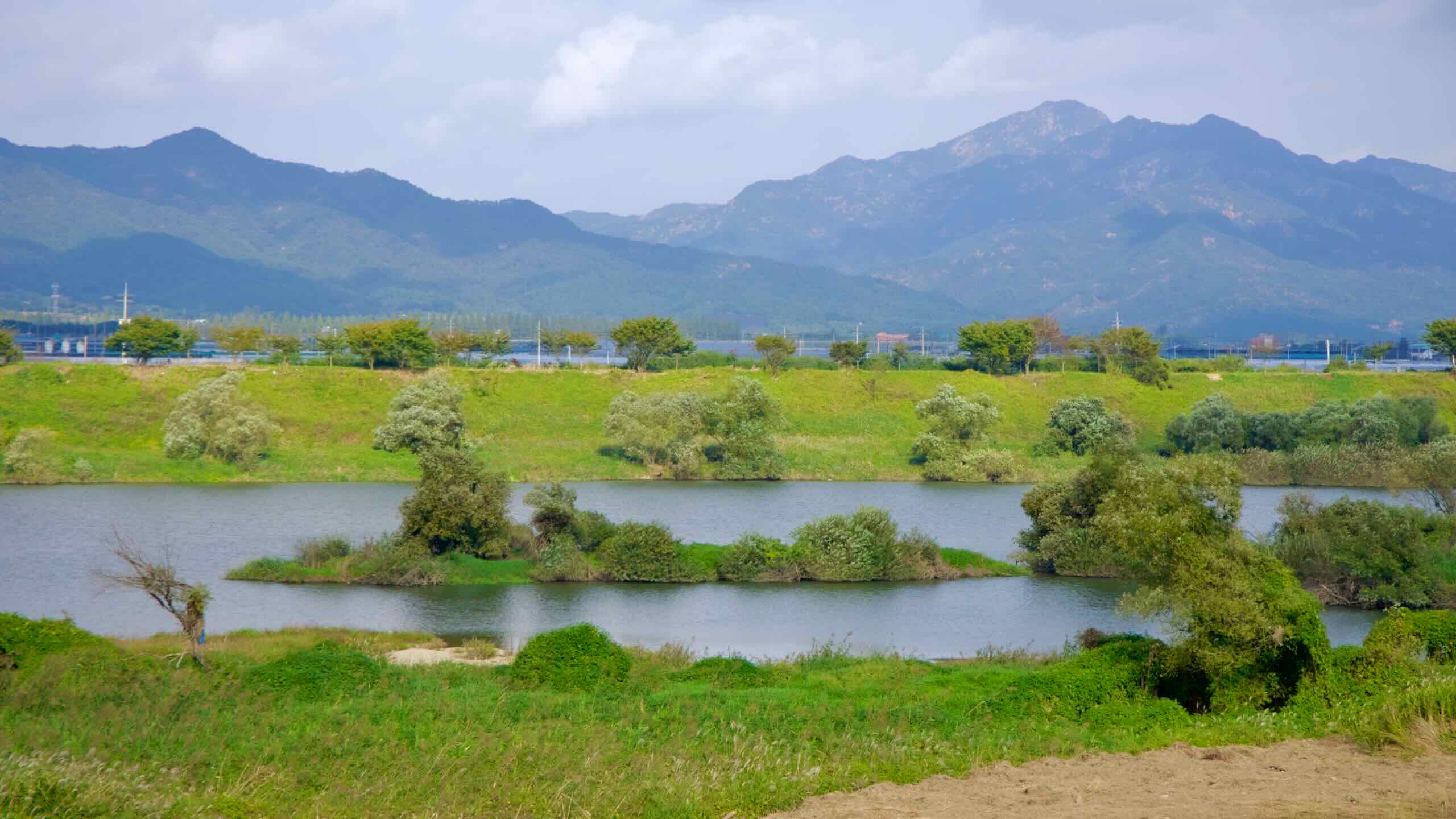
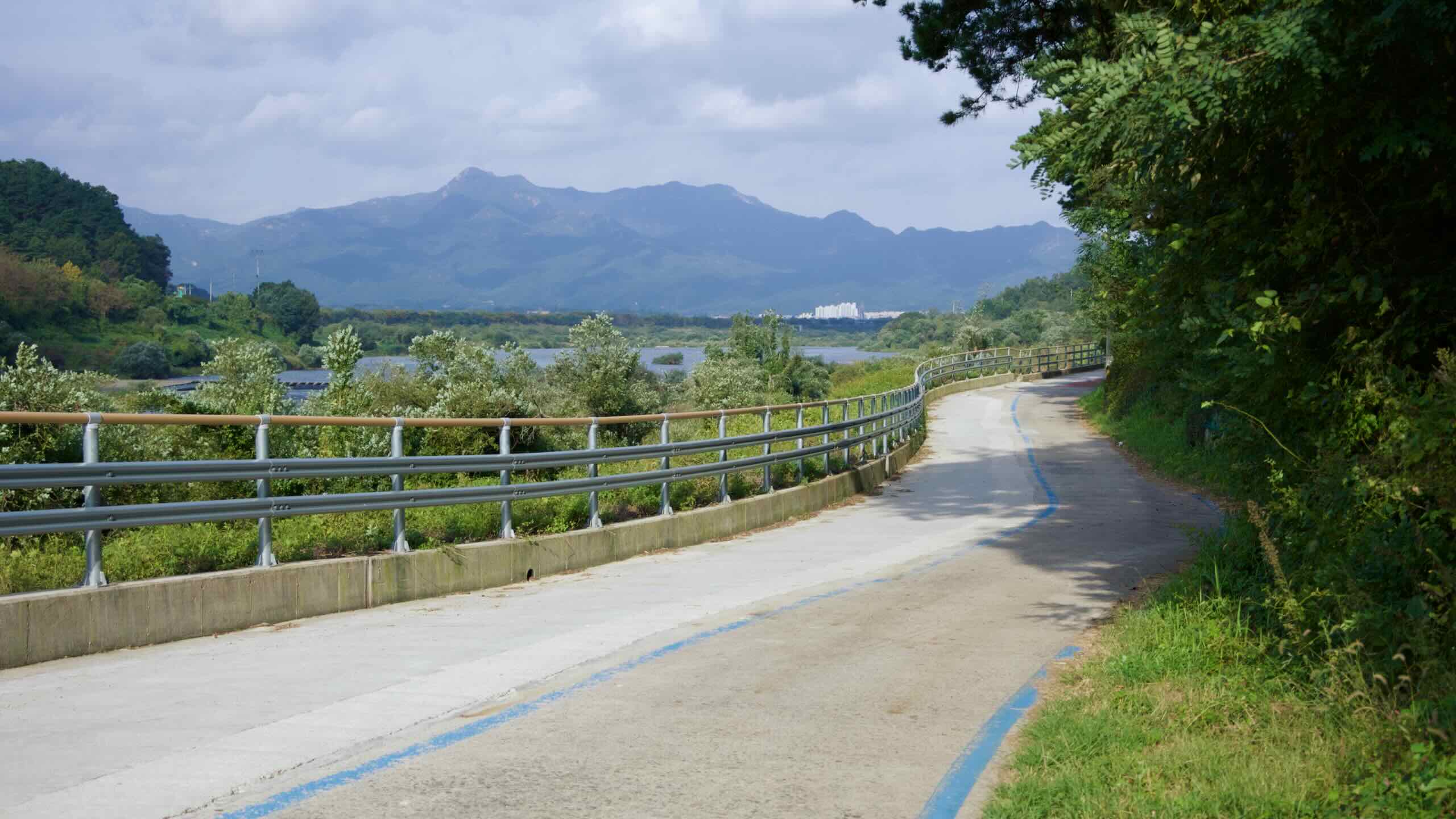
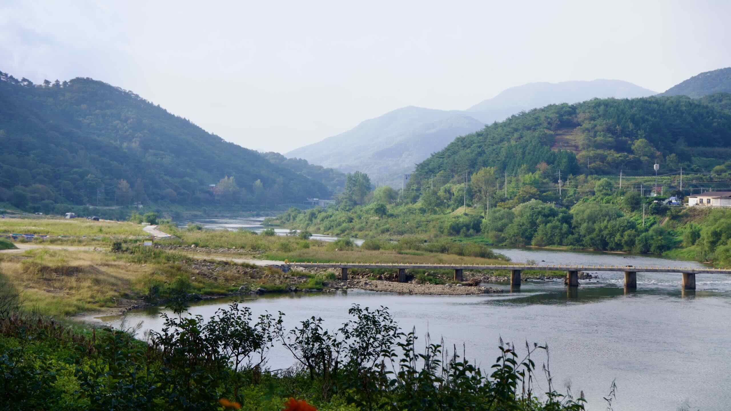
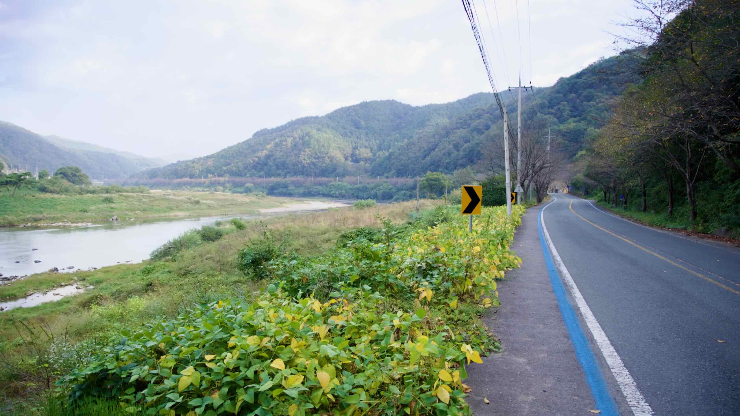
From Hwoingtang Pavilion, continue down the Seomjin River. Ride atop farmside levees. Sedimentary islands topped with tufts of green hold fast in the middle of the waterway.
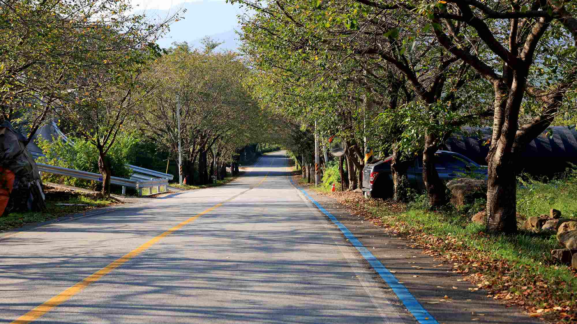
After about 3 kilometers, enter a section lined with pathside trees. Cross over Godal Stream (고달천; map) and find a turnoff (road view). It leads down a ramp and over the water-level Godal-li Submersible Bridge (고달리잠수교; map).
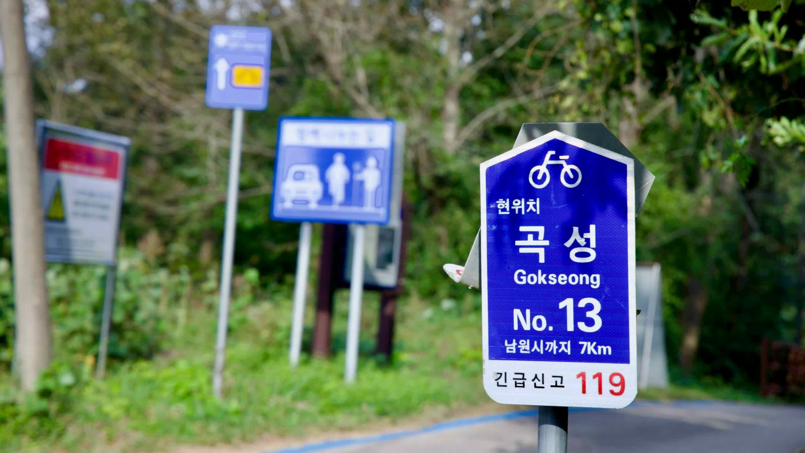
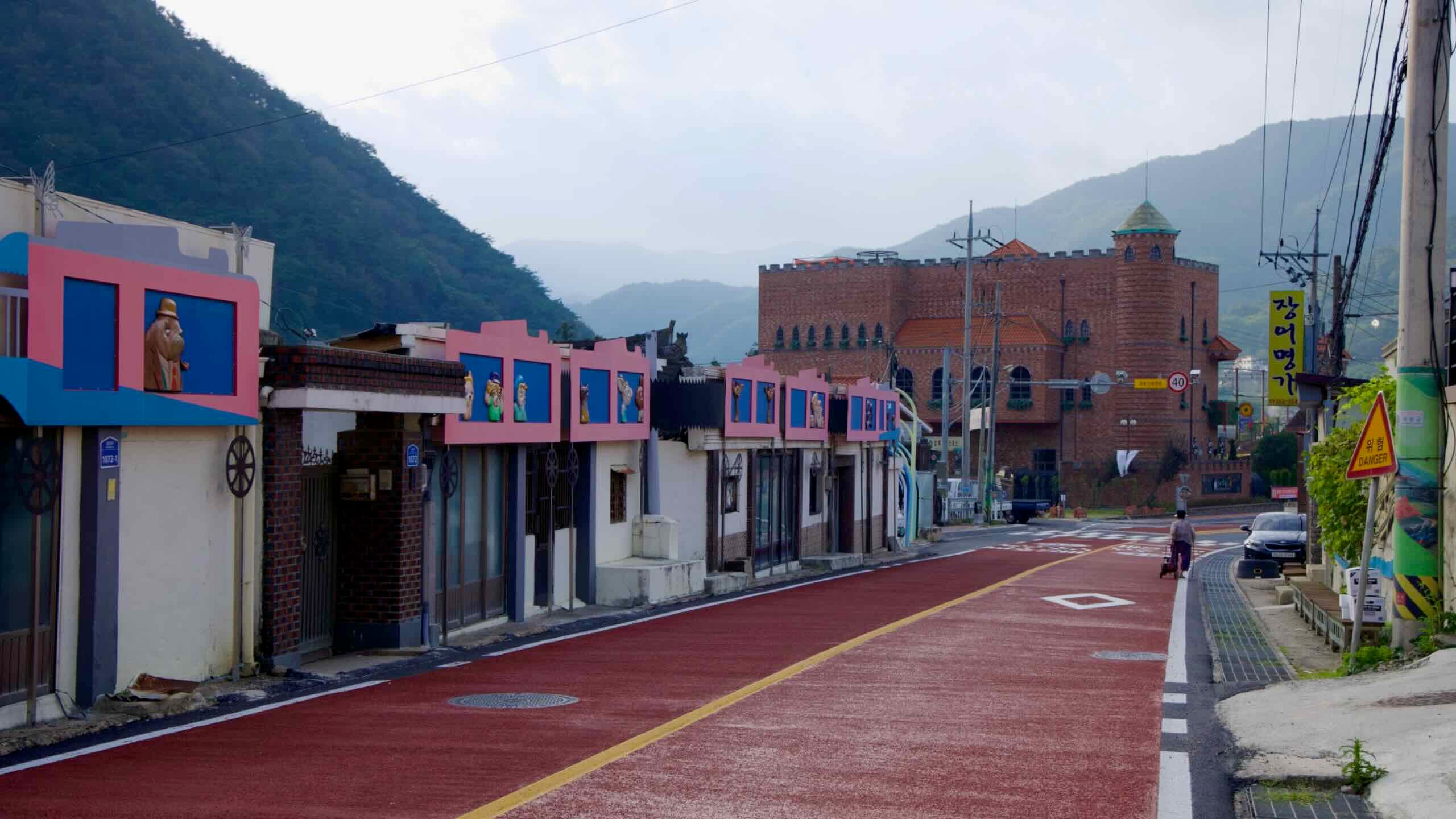
If you have time for a detour, head across the bridge, hop over the Jeolla Line (전라선), and in 2.5 kilometers arrive at one of the Seomjingang Bike Path’s most thematic highlights: the Seomjingang Train Village (directions).
Seomjingang Train Village, located in Gokseong County, is a railway-themed park that transforms the historic Gokseong Station and portions of the decommissioned Jeolla Line into a multifaceted attraction.
The park offers something for visitors of all ages. Central to its charm are the functioning steam locomotive rides, scenic rail bike experiences, and the sprawling rose garden, which showcases thousands of rose varieties.
The historic Gokseong Station, constructed in 1933, served as a key stop along the Jeolla Line for much of the 20th century. Designed with 1930s railway architecture, the station became an iconic feature of the region.
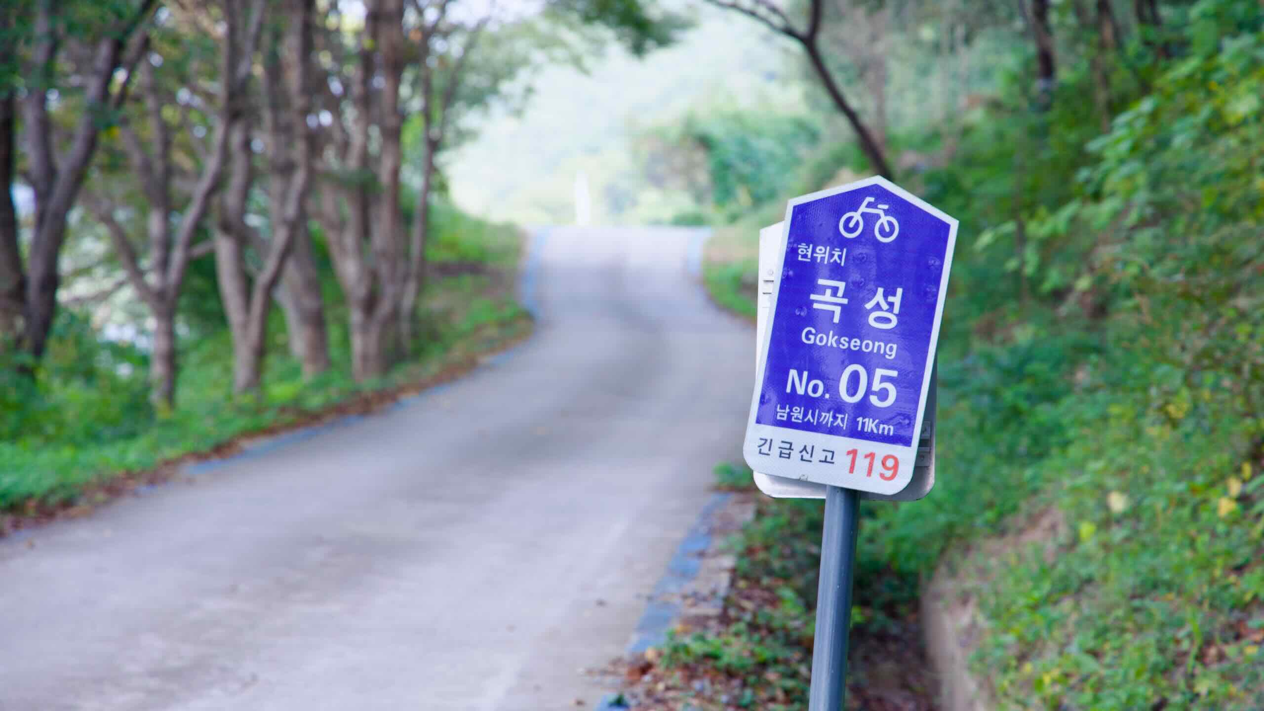
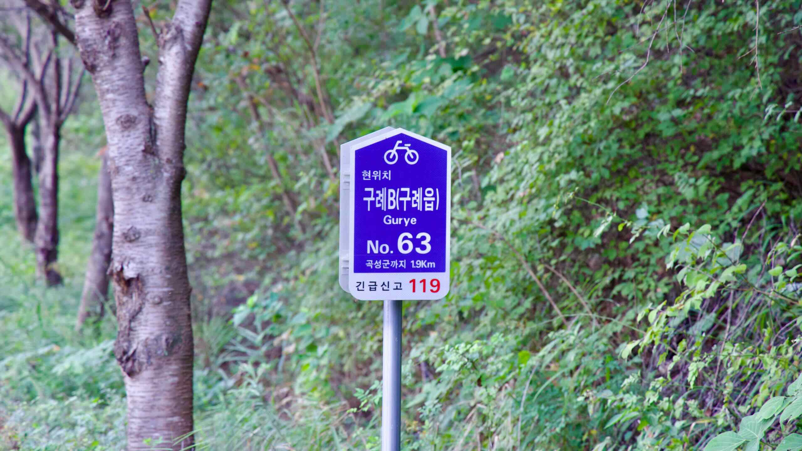
Speaking of the Jeolla Line (전라선; map), the rail line brushes up against the Seomjingang Bike Path starting here in Gokseong County and closely follows its course until Gurye County. Let’s take a closer look.
The Jeolla Line connects Iksan in North Jeolla Province to Yeosu in South Jeolla Province. Operated by Korail, it stretches 180 kilometers and serves as a key transportation route through Korea’s southwest, linking cities such as Jeonju, Namwon, Gokseong, and Suncheon.
Originally opened in 1930 during the Japanese colonial era, the Jeolla Line has been modernized and now includes high-speed KTX service.
Done with the sightseeing? You have two options to continue your cycling journey.
Stay on the west bank of the Seomjin River and explore its well-laid-out and protected cycling lanes (road view), passing a unique rhododendron path (map) and running close to the Jeolla Line tracks and stations.
Or, cross back over the Seomjin River on the Godal-li Submersible Bridge (map) and continue along the official route.
Both sides offer the same picturesque scenery and eventually merge back on the east bank. You won’t miss any certification stamps if you choose the unofficial west bank.
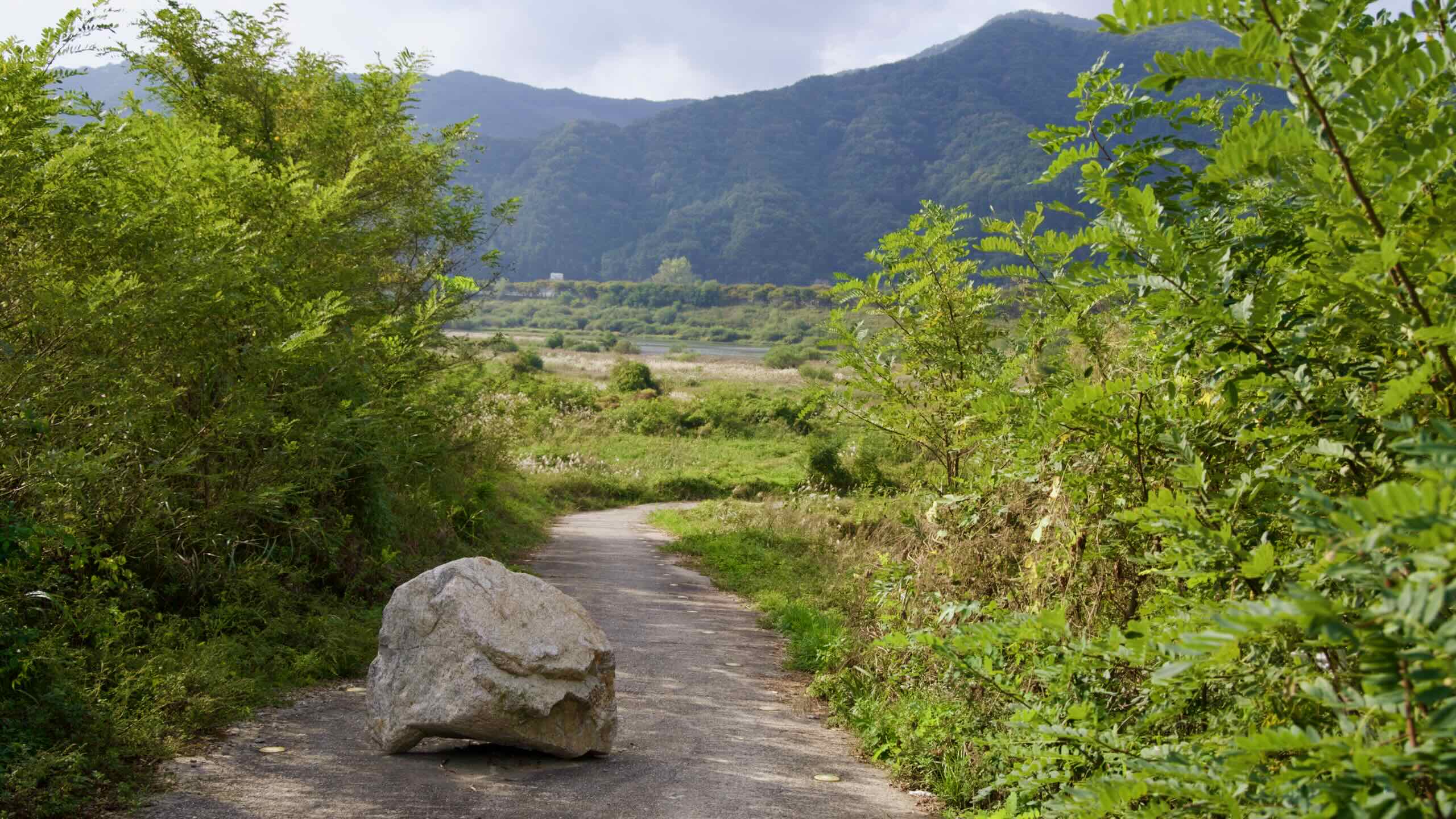
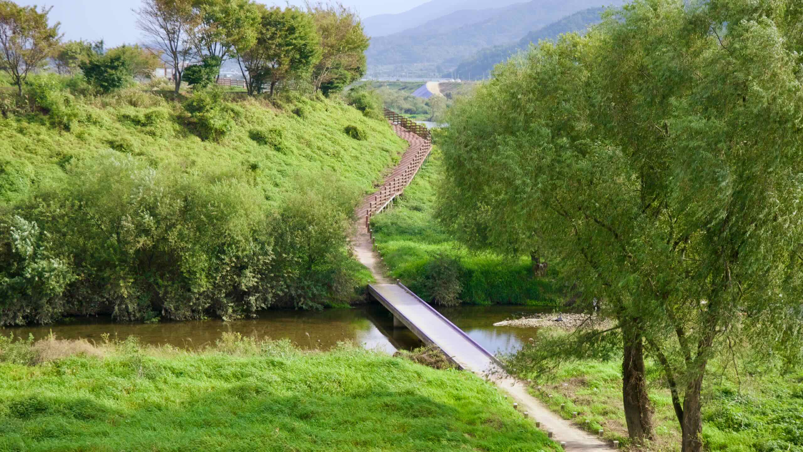
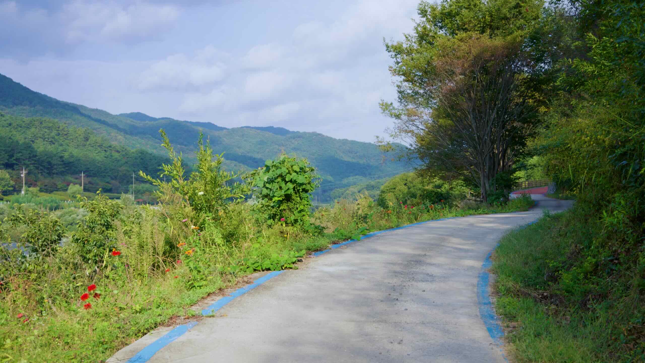
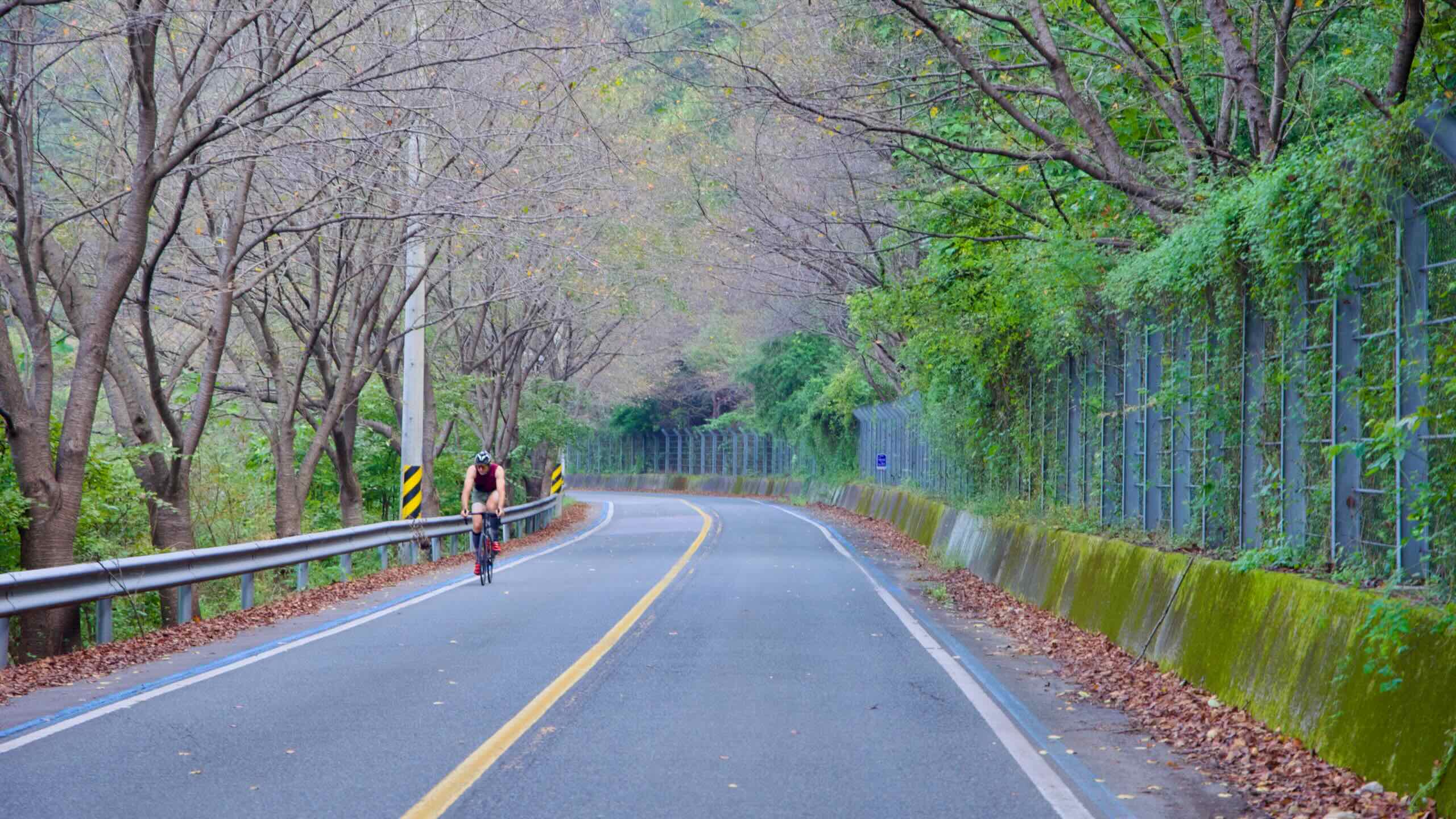
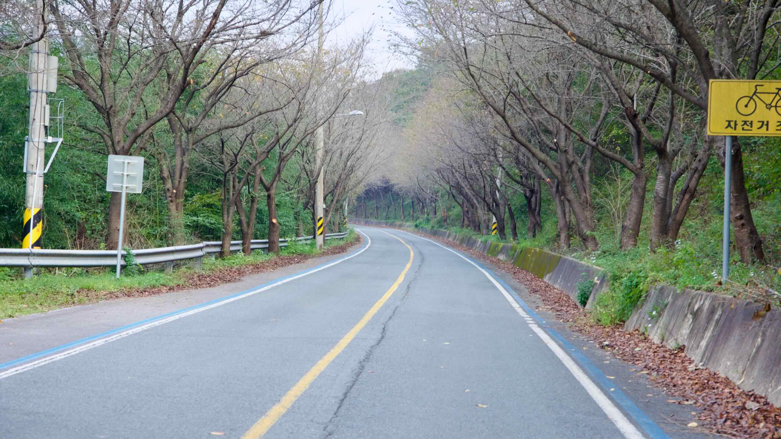
Cross back over and enter a stretch of canopy bike path. Ride its gentle hills, rising and falling like an old-timey wooden roller coaster.
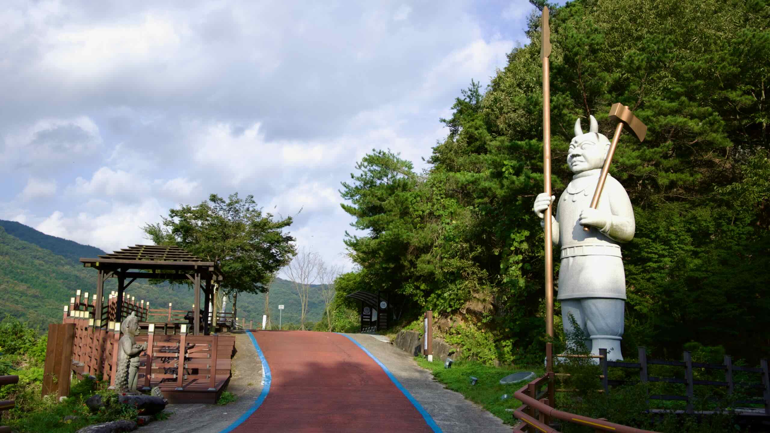
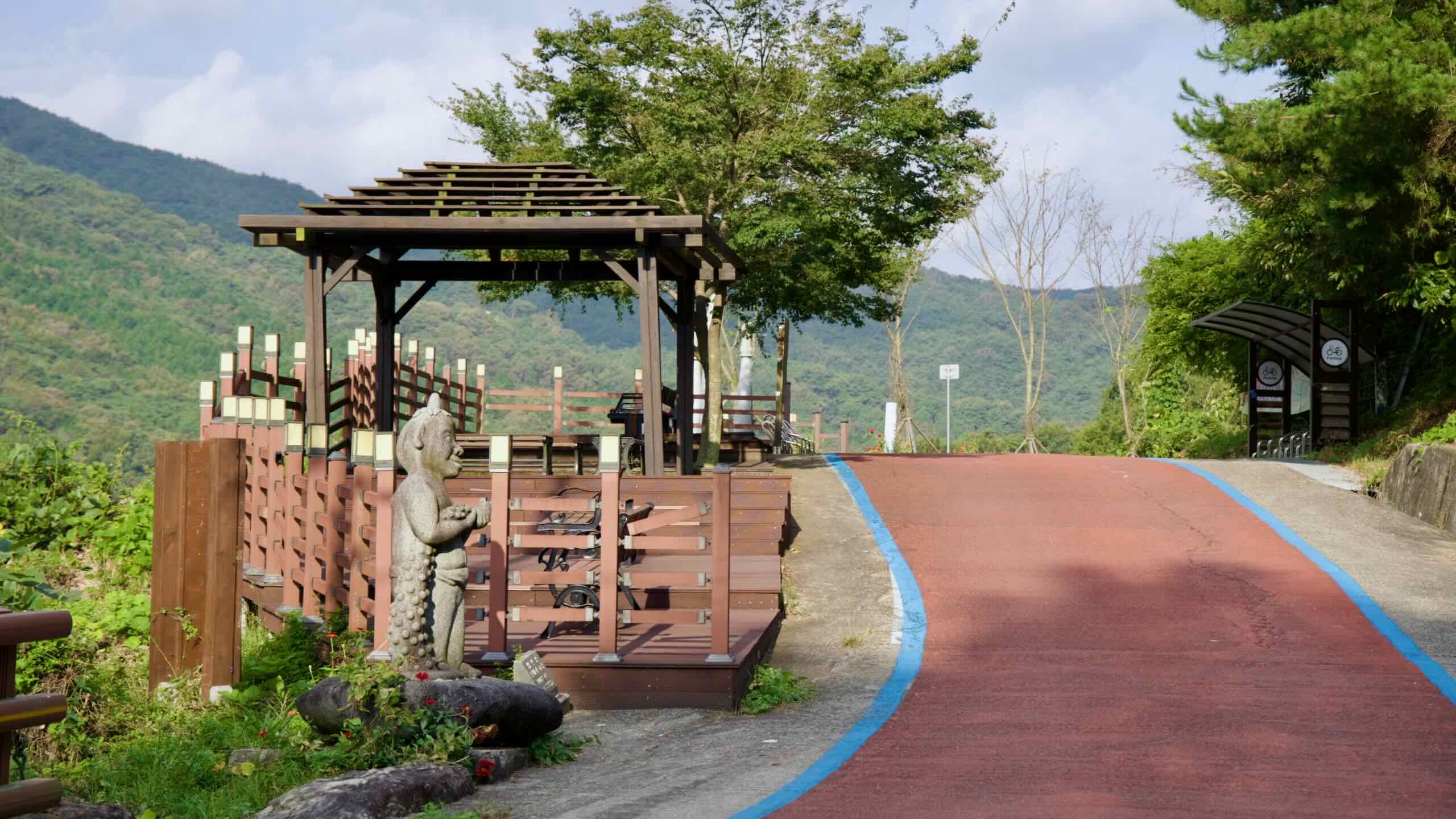
In about 4 kilometers, you’ll stumble upon a rest area marked by a towering goblin statue.
Known as the Geogeogol Rest Area (map), it includes a nearby plaque titled 전동 전설 이야기 (Jeondong Legend Story), which recounts a local tale from nearby Hogok Village.
The story goes that during the early Joseon Dynasty, a general named Ma Chunmok lived in exile with his elderly mother. One cold winter, his mother wished to eat fresh fish. Worried about being spotted if he visited the village, the general hesitated.
As he pondered, a mysterious light guided him to the river, where he found a hole in the ice. Believing it a divine sign, he fished there and caught his mother’s dinner. From then on, he always returned to that spot—and always caught fish.
Locals claim that fish could still be caught there as recently as 200 years ago. But no trace of the hole remains today.
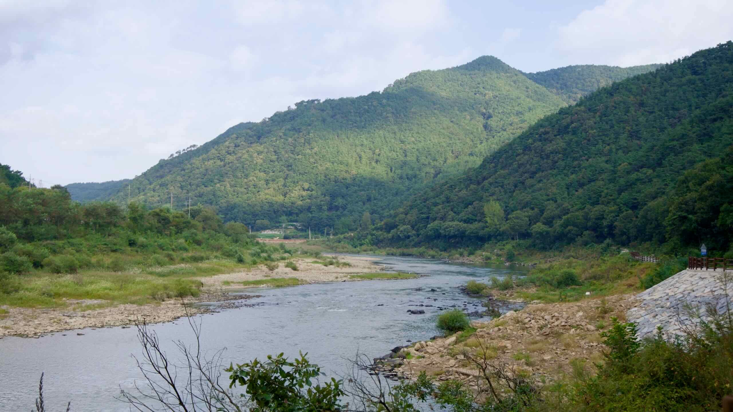
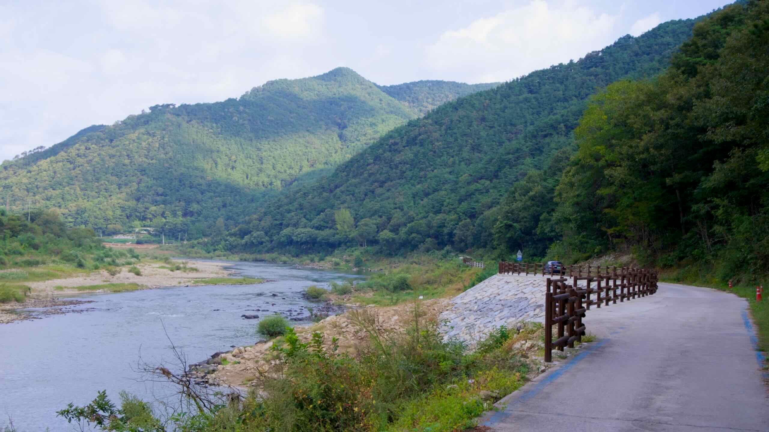
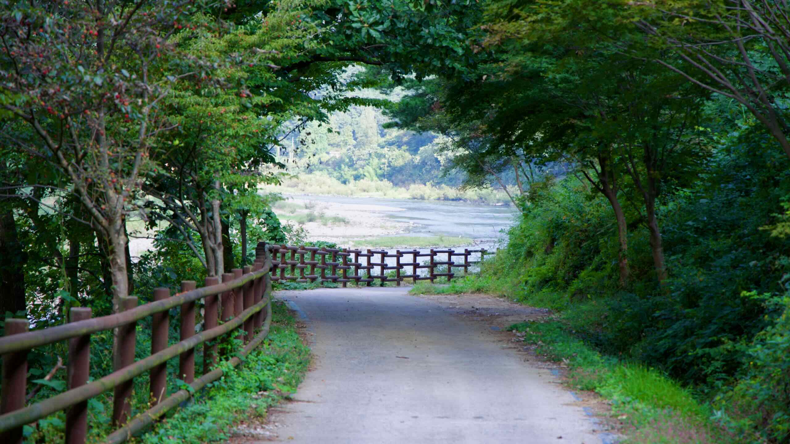
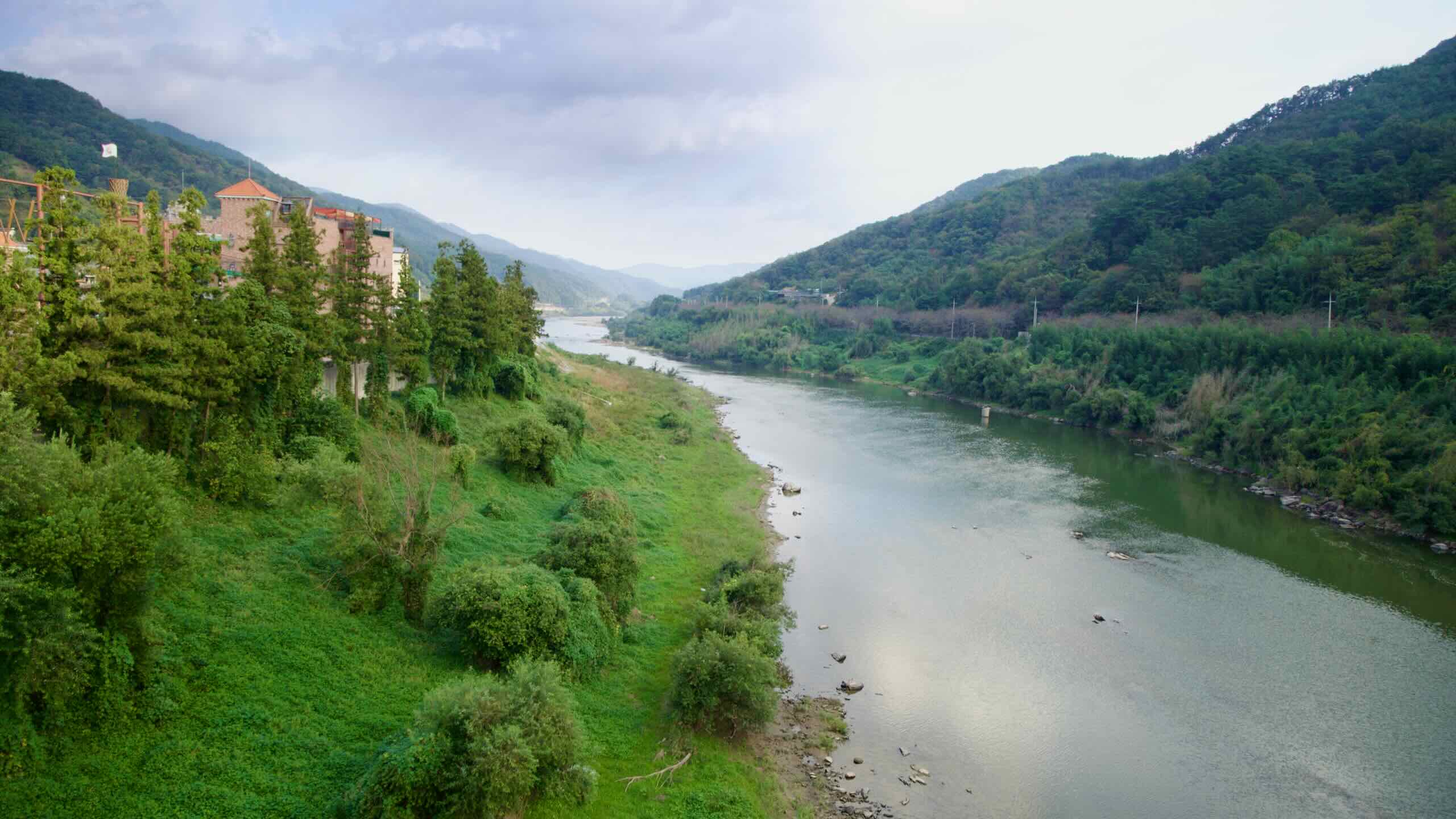
Continue pedaling through the undulating hills, blanketed in leafy green. Listen to the murmuring Seomjin River below.
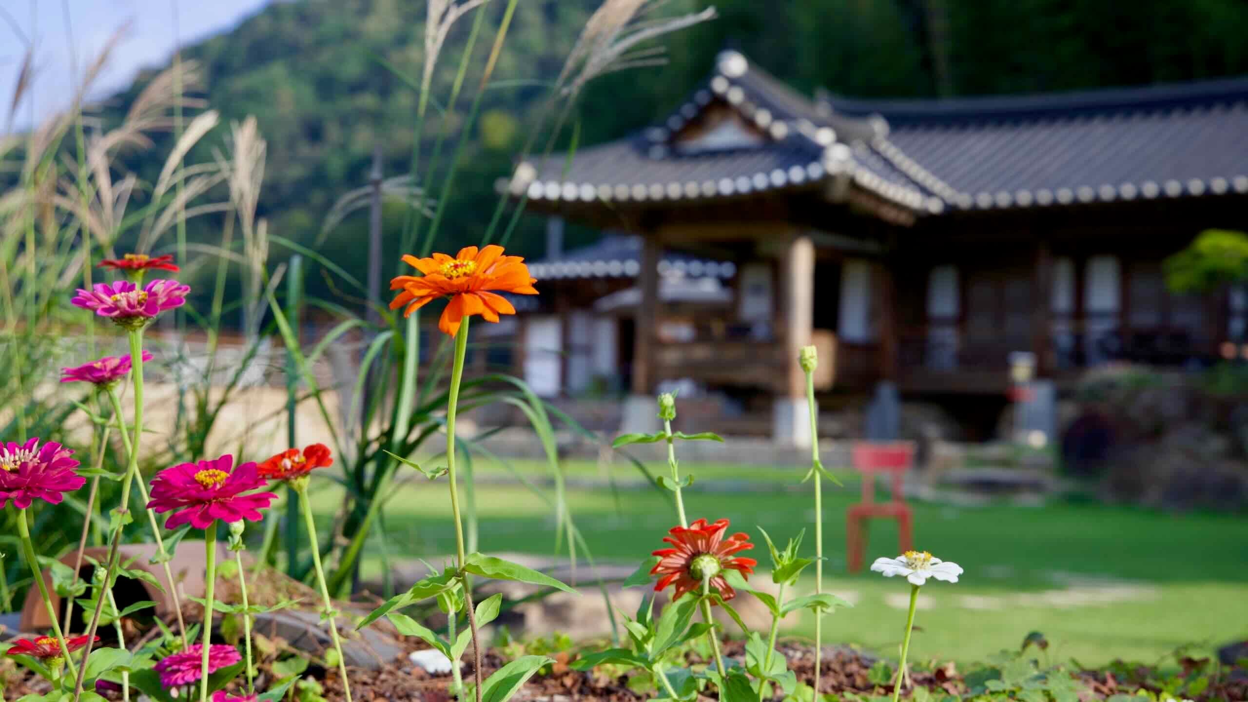
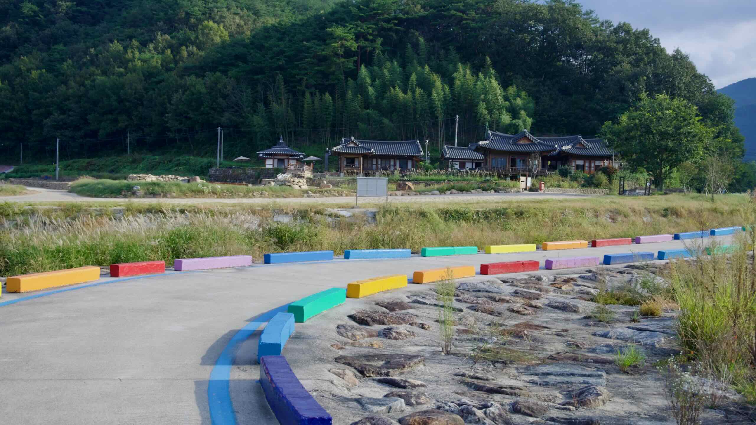
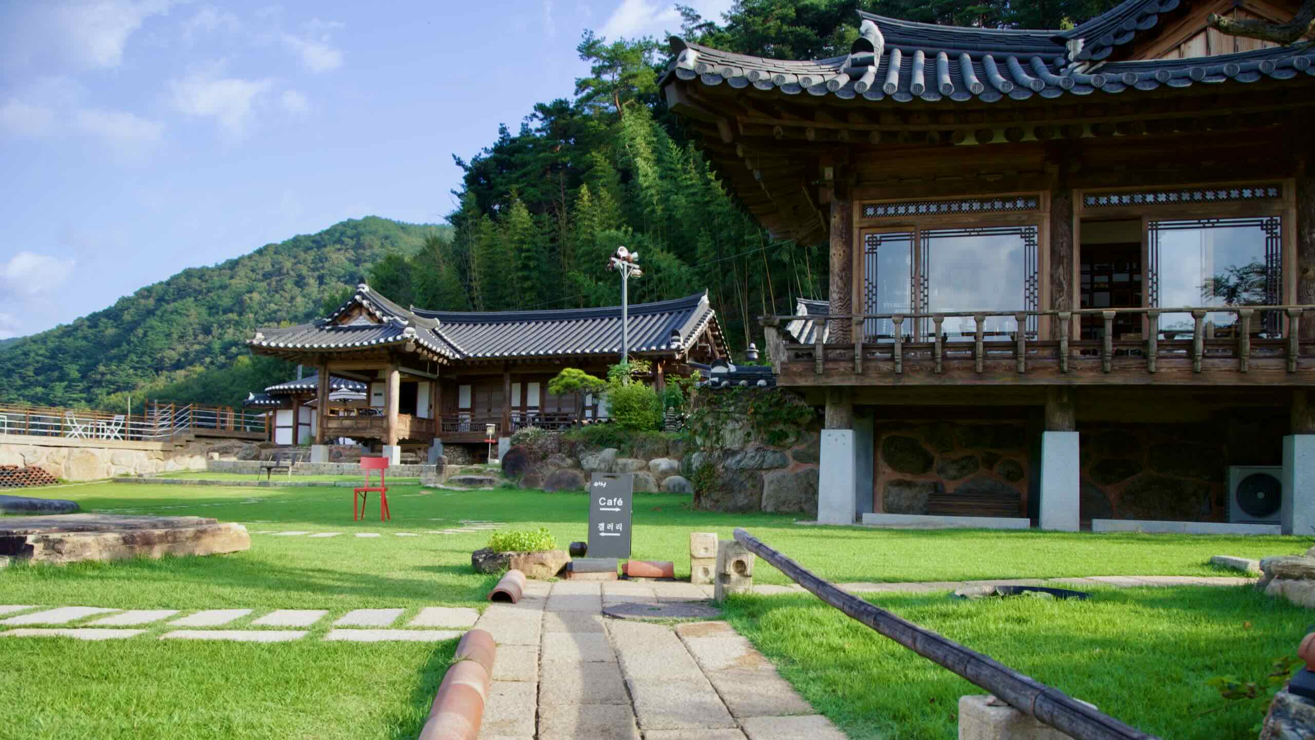
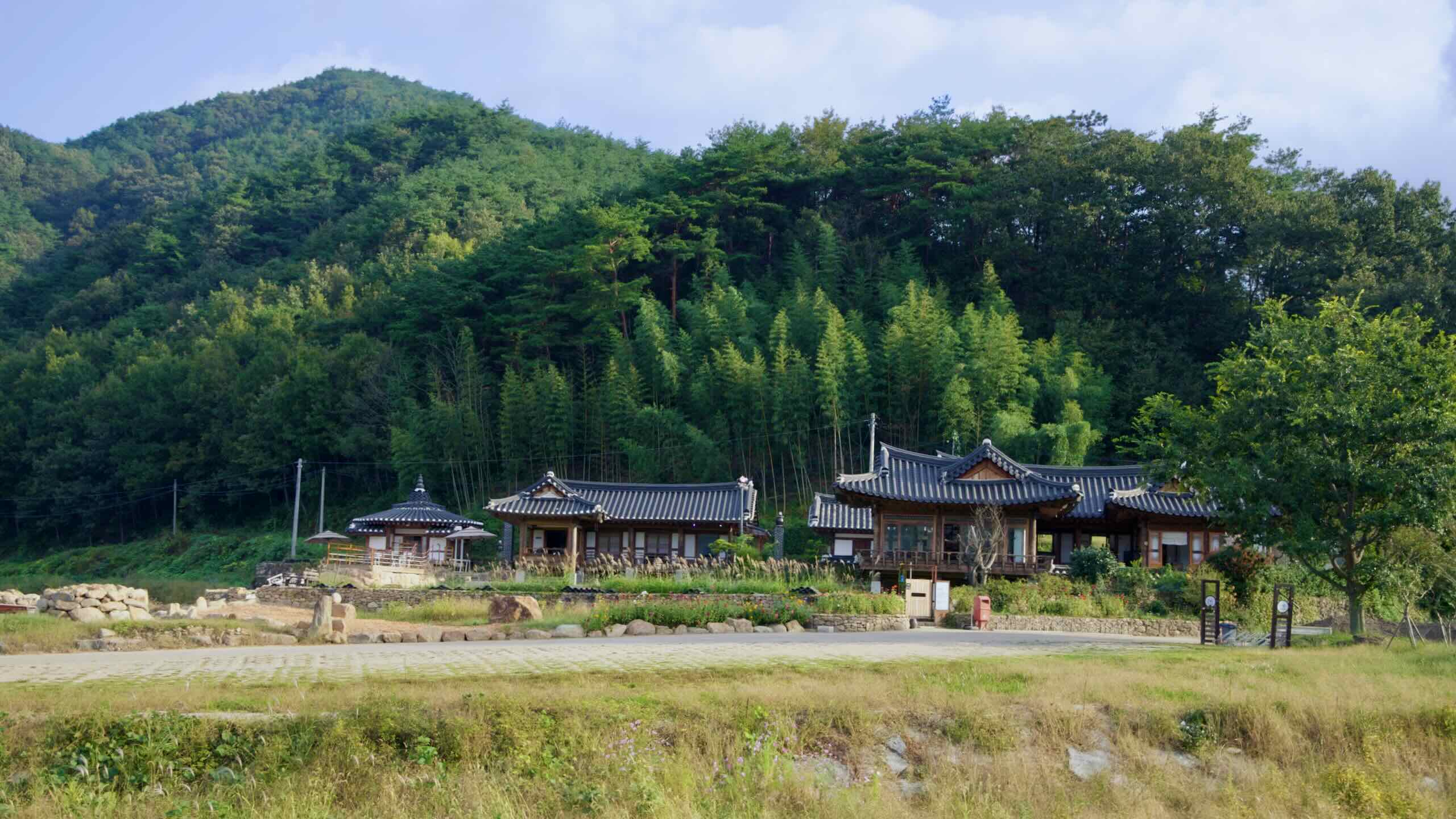
In about 2 kilometers, break out from the canopy and come upon a collection of traditional hanok buildings.
Known as Dugahun (두가헌; map), this complex doubles as a café and gallery. Winner of the 2012 Korean Hanok Architecture Award, it blends rustic Korean aesthetics with modern comfort. Flower beds, stone walls, and earthenware jars line the grounds. Inside, the café offers coffee, traditional teas, seasonal drinks, and desserts—including its signature handmade bingsu (shaved ice). The gallery regularly hosts tea ware exhibits.
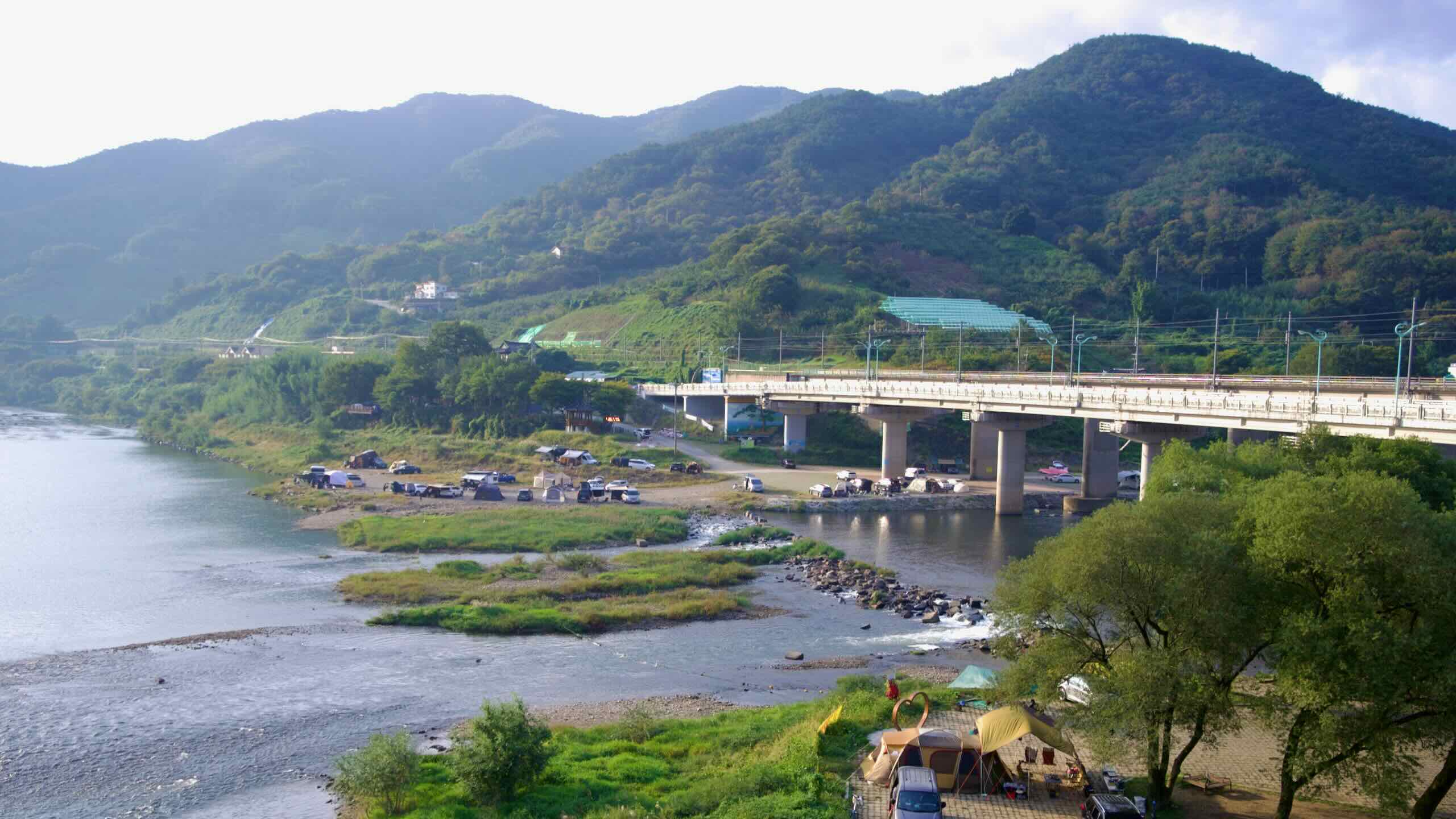
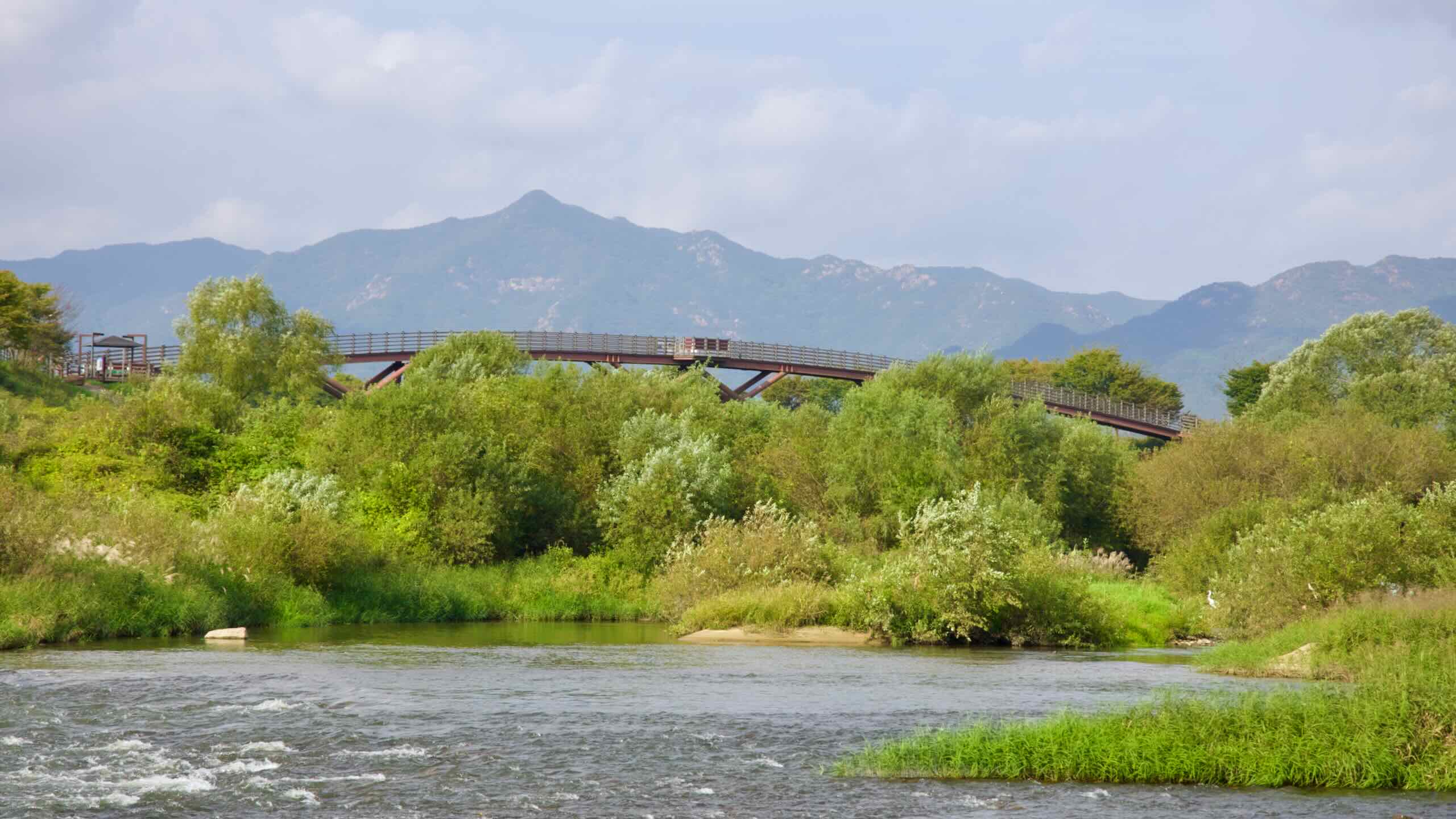
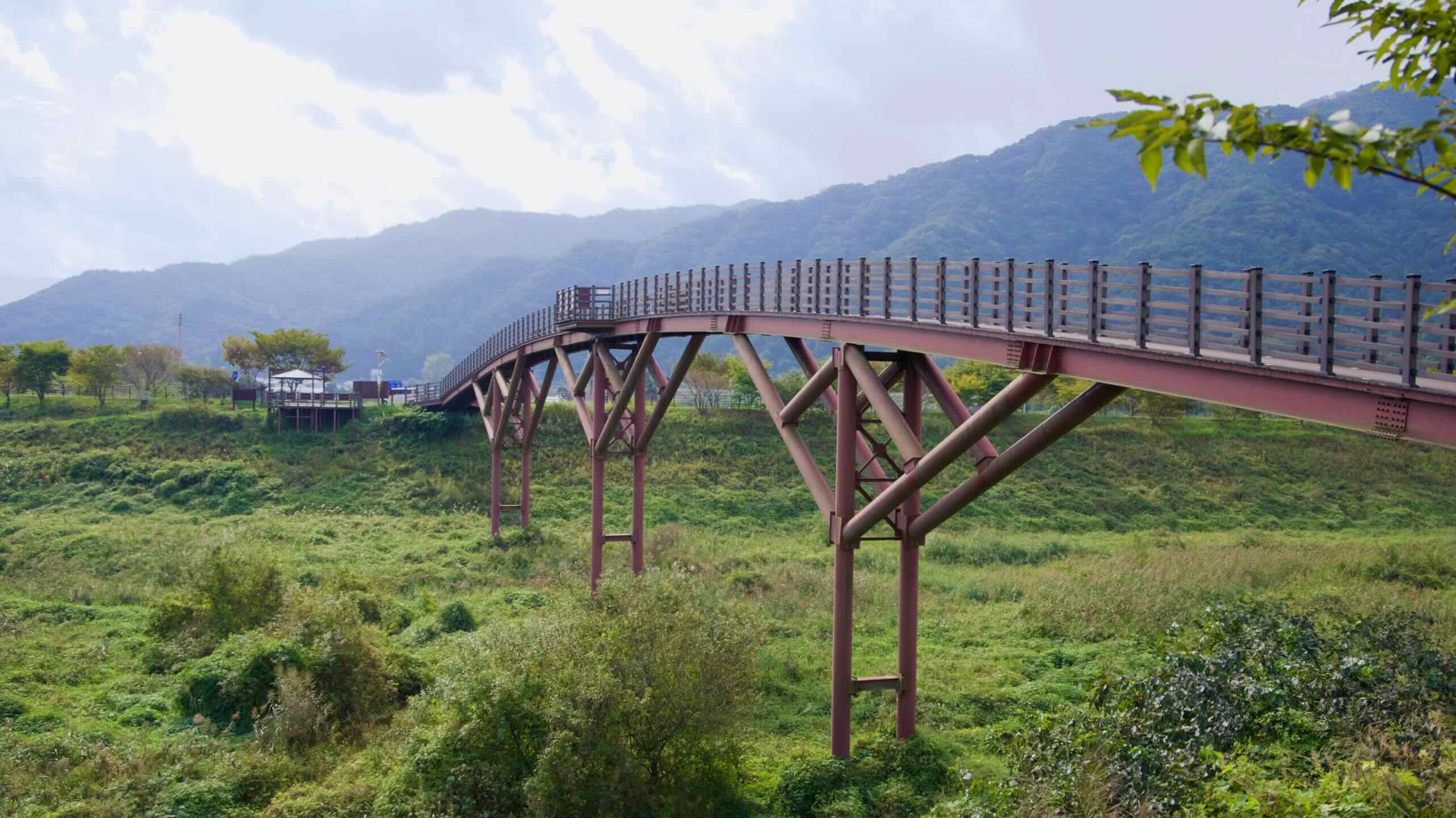
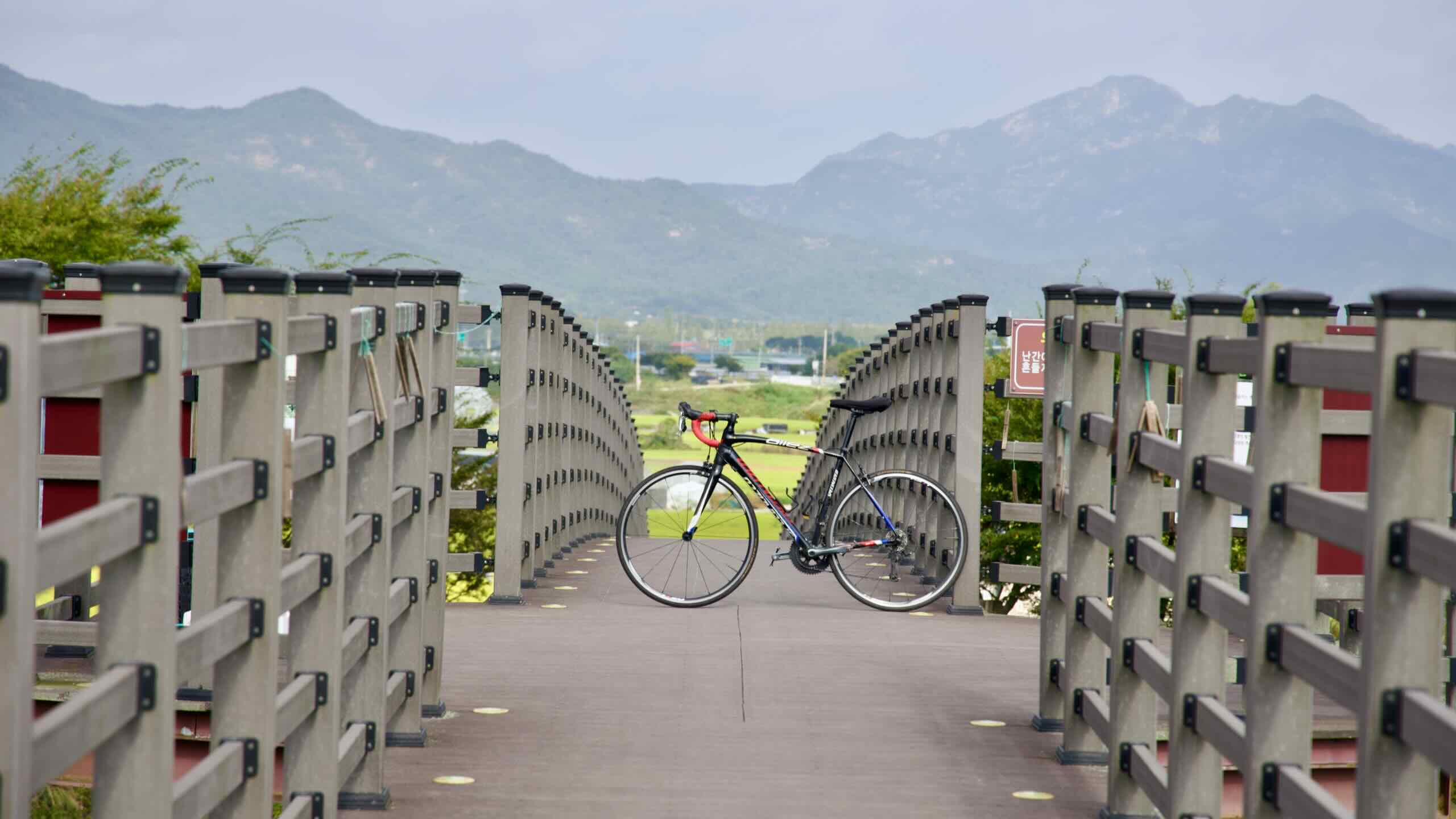
Roll on for another kilometer and you’ll meet a towering bridge spanning the Seomjin River, held aloft by sweeping arch cables. That’s the Seomjin River Suspension Bridge—another highlight of the Seomjingang Bike Path.
Spanning the Seomjin River near the retired Gajeong Station, the Seomjin River Suspension Bridge offers cyclists and pedestrians sweeping views of Korea’s southern countryside. This modern cable-stayed bridge not only links scenic riverside paths but also connects visitors to a cluster of rural experiences in the area.
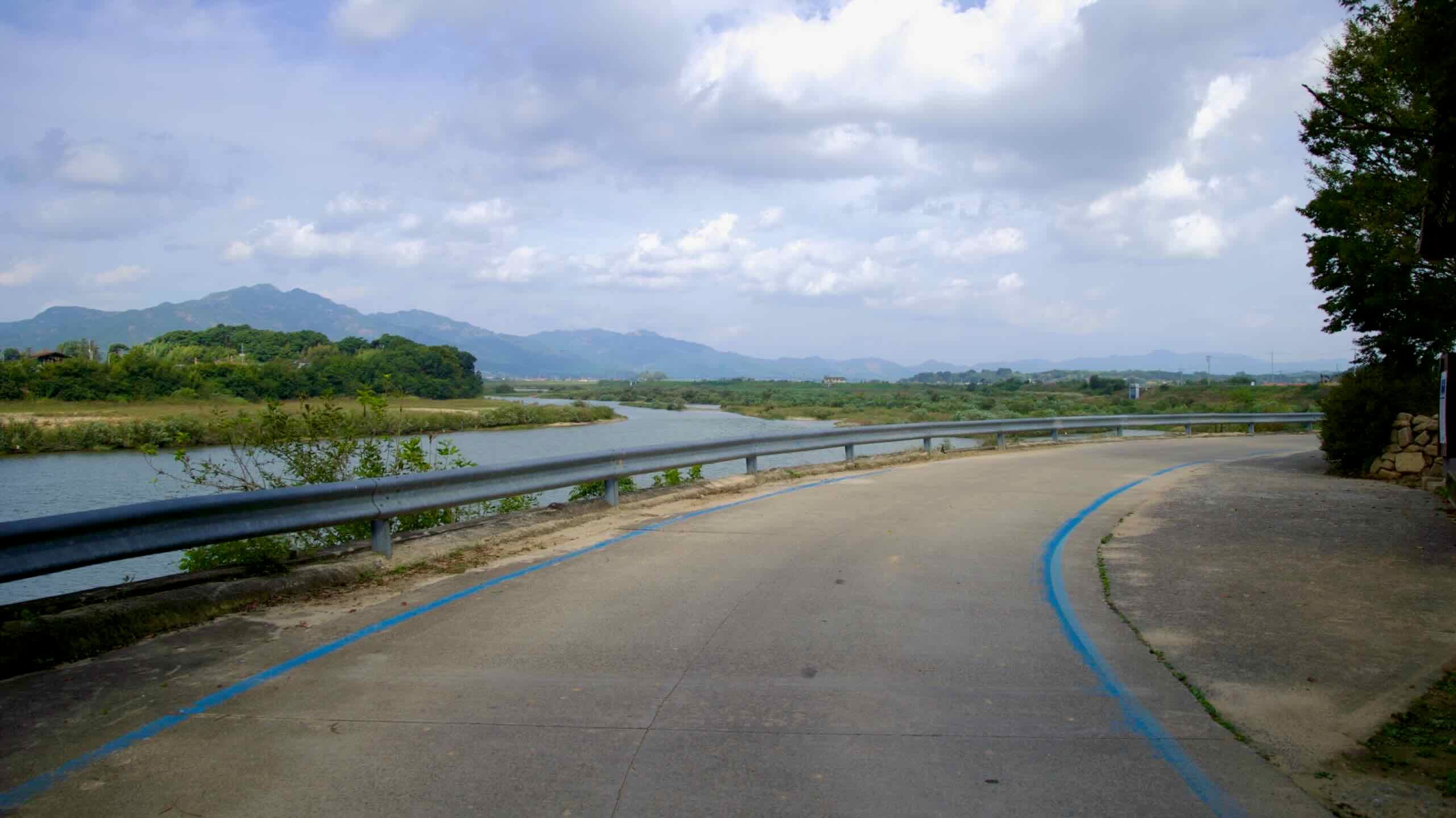
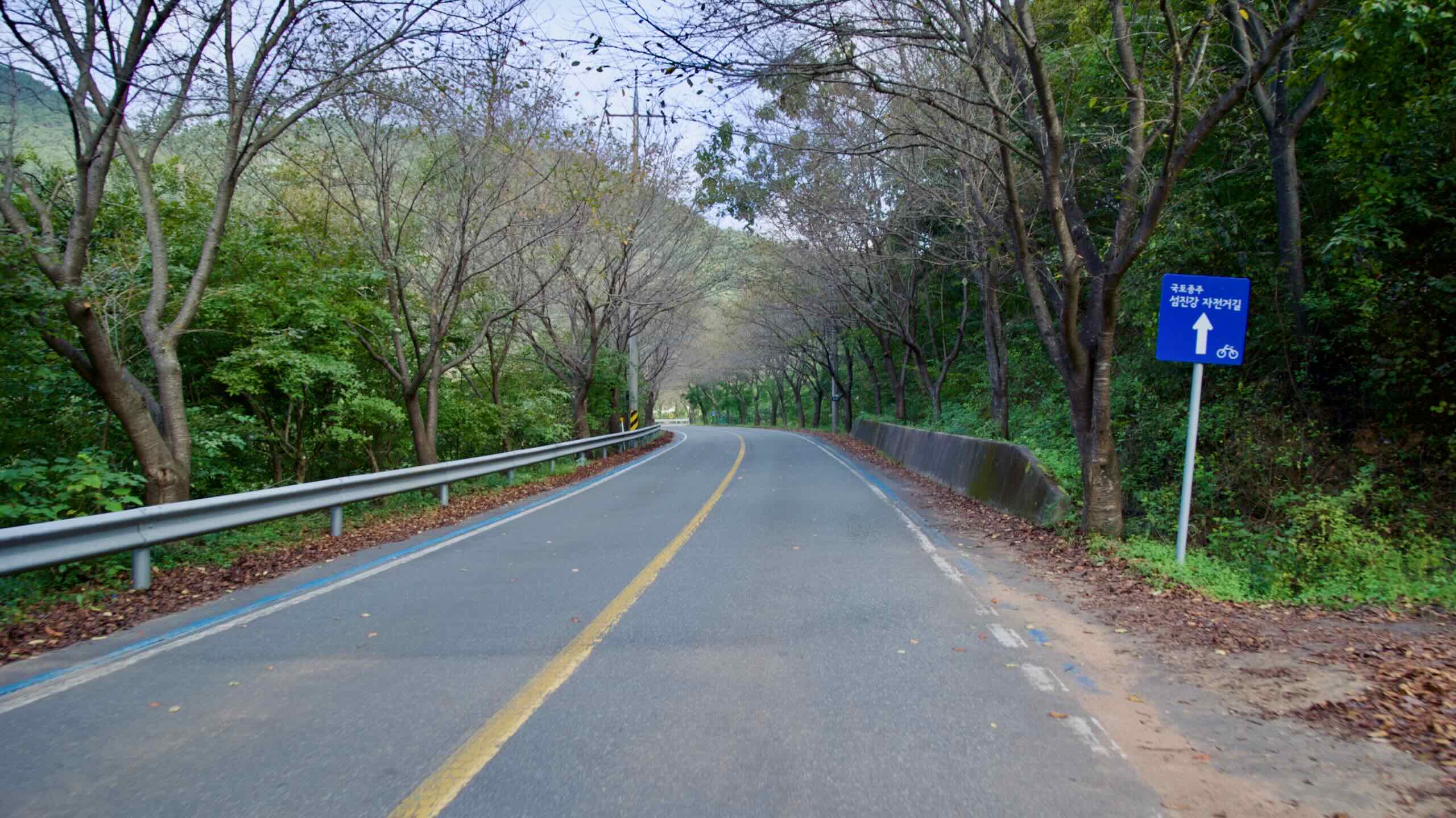
Keep on keeping on. As you glide under the Seomjin River Suspension Bridge, you’ll land on a two-lane riverside road (road view). While there are no protected bike lanes, this long stretch sees little car traffic. If you’re riding later in the day, be sure to turn on your front and rear bike lights.
Unlike most observatories, which are perched atop mountains to avoid light pollution, this facility sits on flat terrain, surrounded by small villages. To minimize light interference, the observatory and local residents have taken steps like shielding streetlights and asking drivers to dim headlights during observation hours.
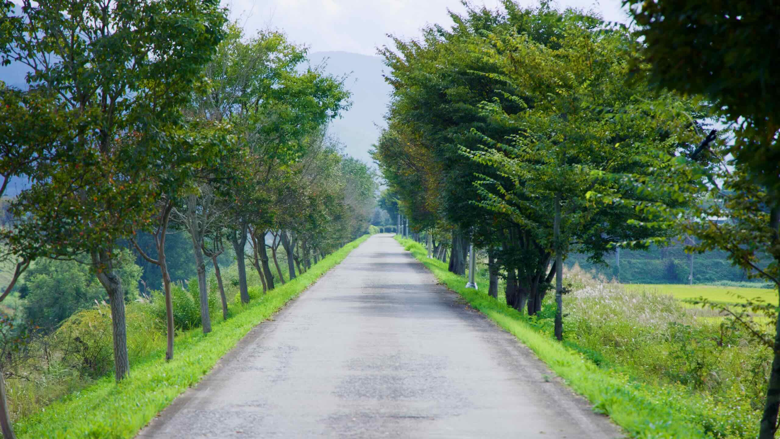
Continue along the riverside road. It’s lined with trees that, come spring, explode in cherry blossoms, forming pink and white tunnels.
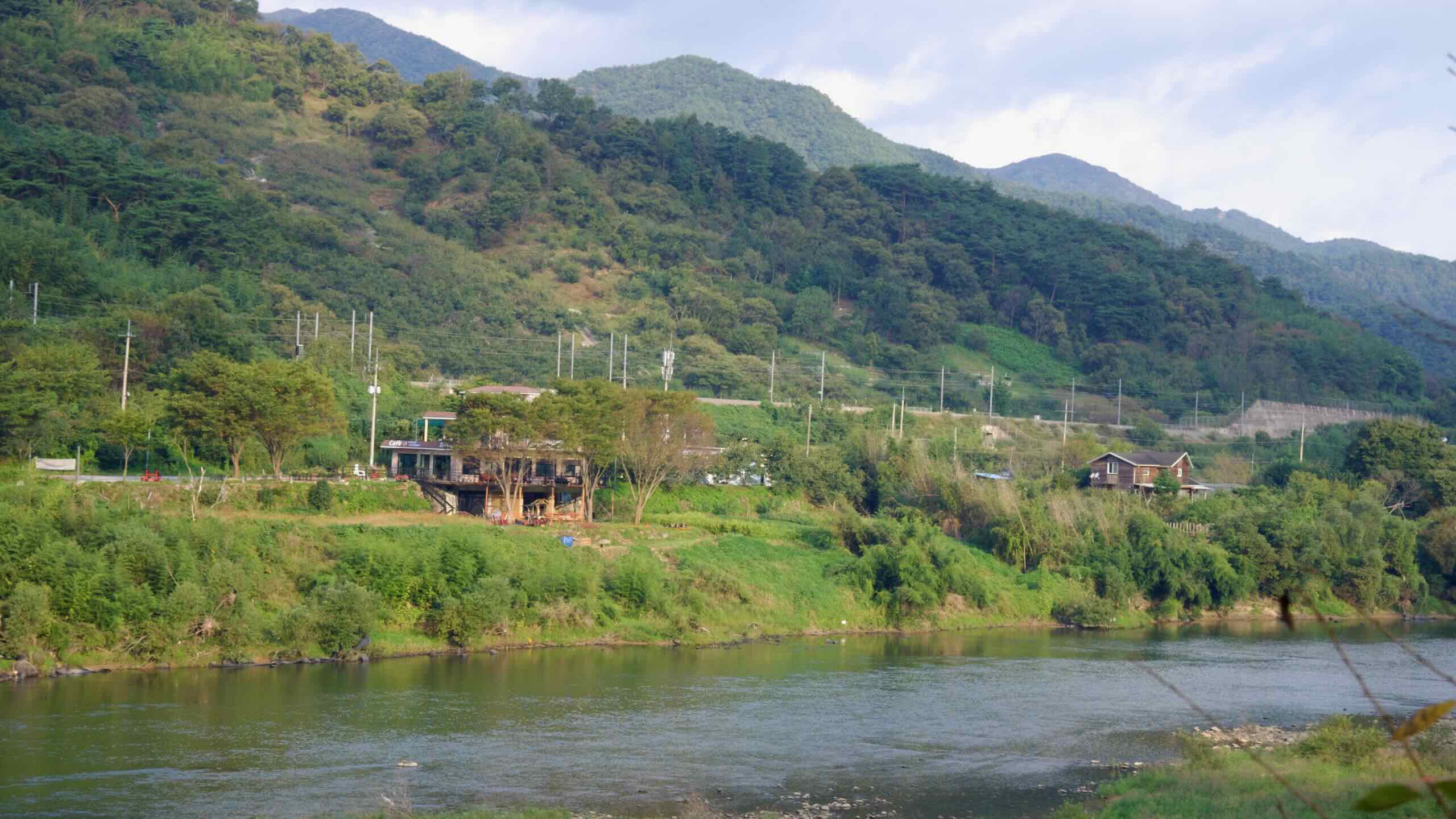
This scenic stretch, also shadowed by the Jeolla Line tracks, features a scattering of waterside pensions (map), which take full advantage of the rural charm.
Aprok Village
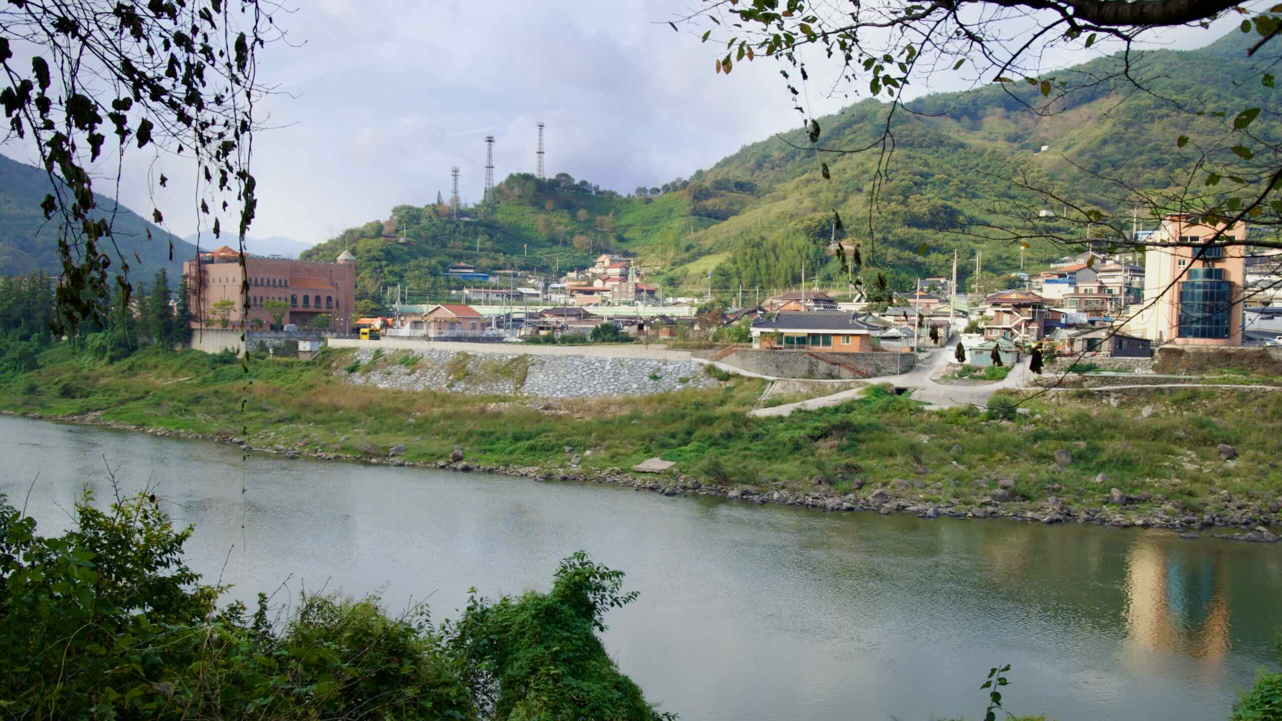
After 4 kilometers, you’ll reach Yesung Bridge (예성교; map). If the day’s winding down and you need a place to rest, cross the bridge into Amnok Village (압록리; map), a small settlement tucked into a quiet bend where the Boseong River (보성강; map) meets the Seomjin River. You’ll find a few restaurants (map) and accommodations (map) worth checking out.
Amnok Station (압록역; map) is a small brick depot opened in 1936 along the Jeolla Line. Although passenger service stopped in 2008, the tidy platforms and traditional station signs remain—a living postcard from Korea’s steam-train era. Cinephiles may recognize the lone pine tree beside the tracks: the climactic scene of the 1990s drama Sandglass (모래시계) was filmed here.
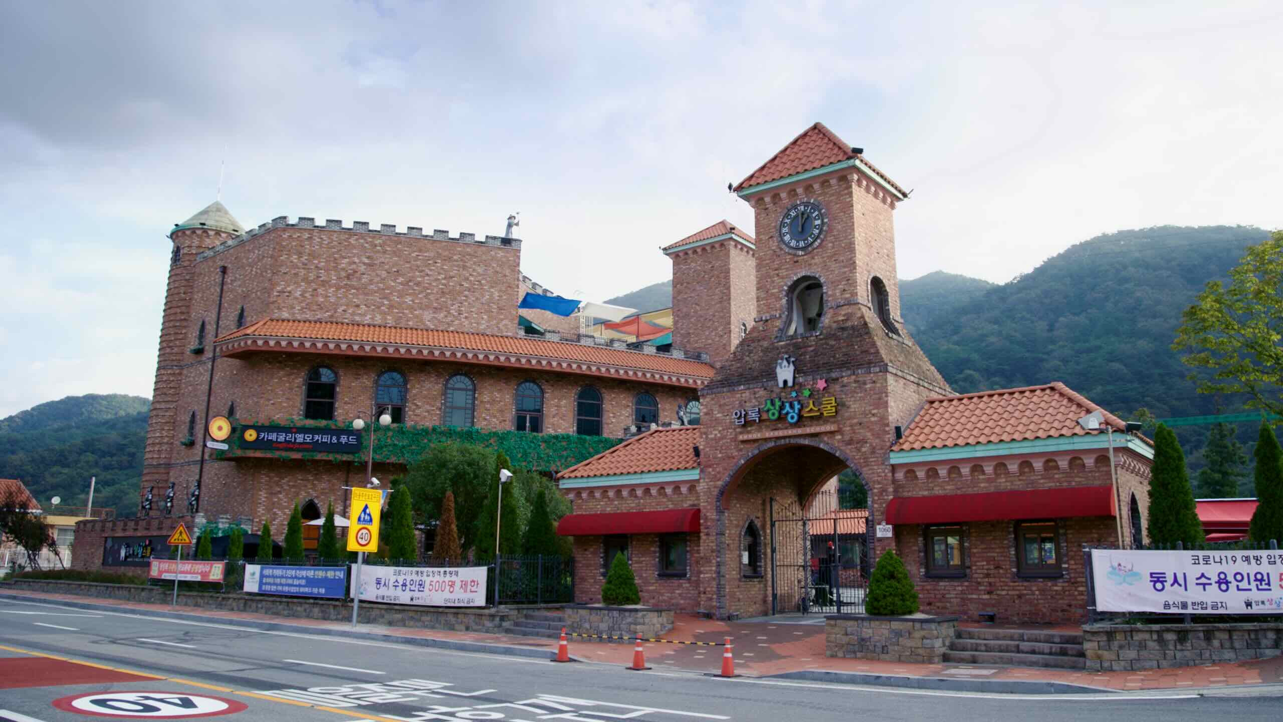
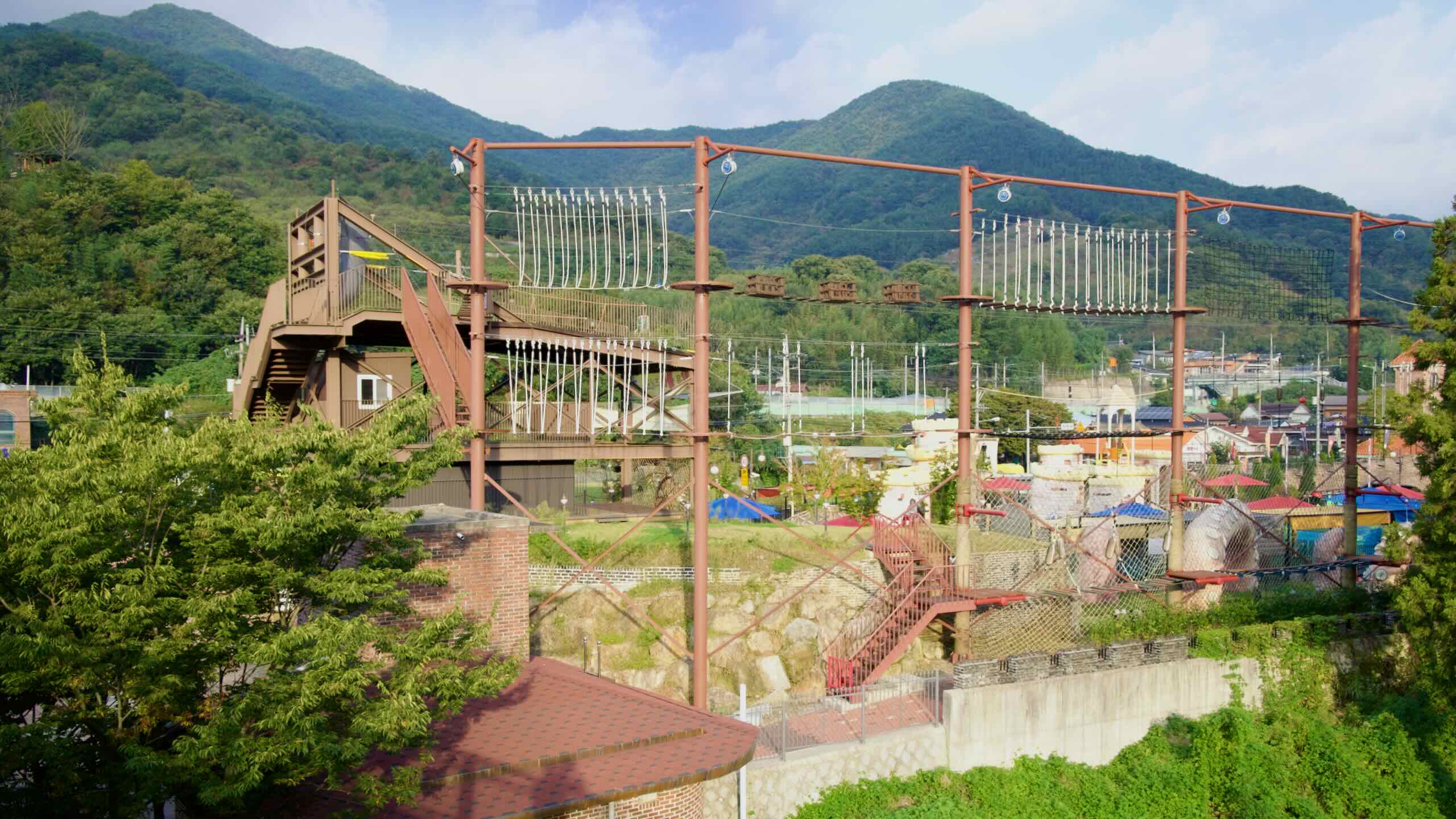
Just up the road, the local government converted a closed elementary school into Amnok Sangsang School (압록상상스쿨; map), an “imagination campus” for families. The three-story building houses an indoor playground and café, plus outdoor features like a waterpark, zipline course, and more.
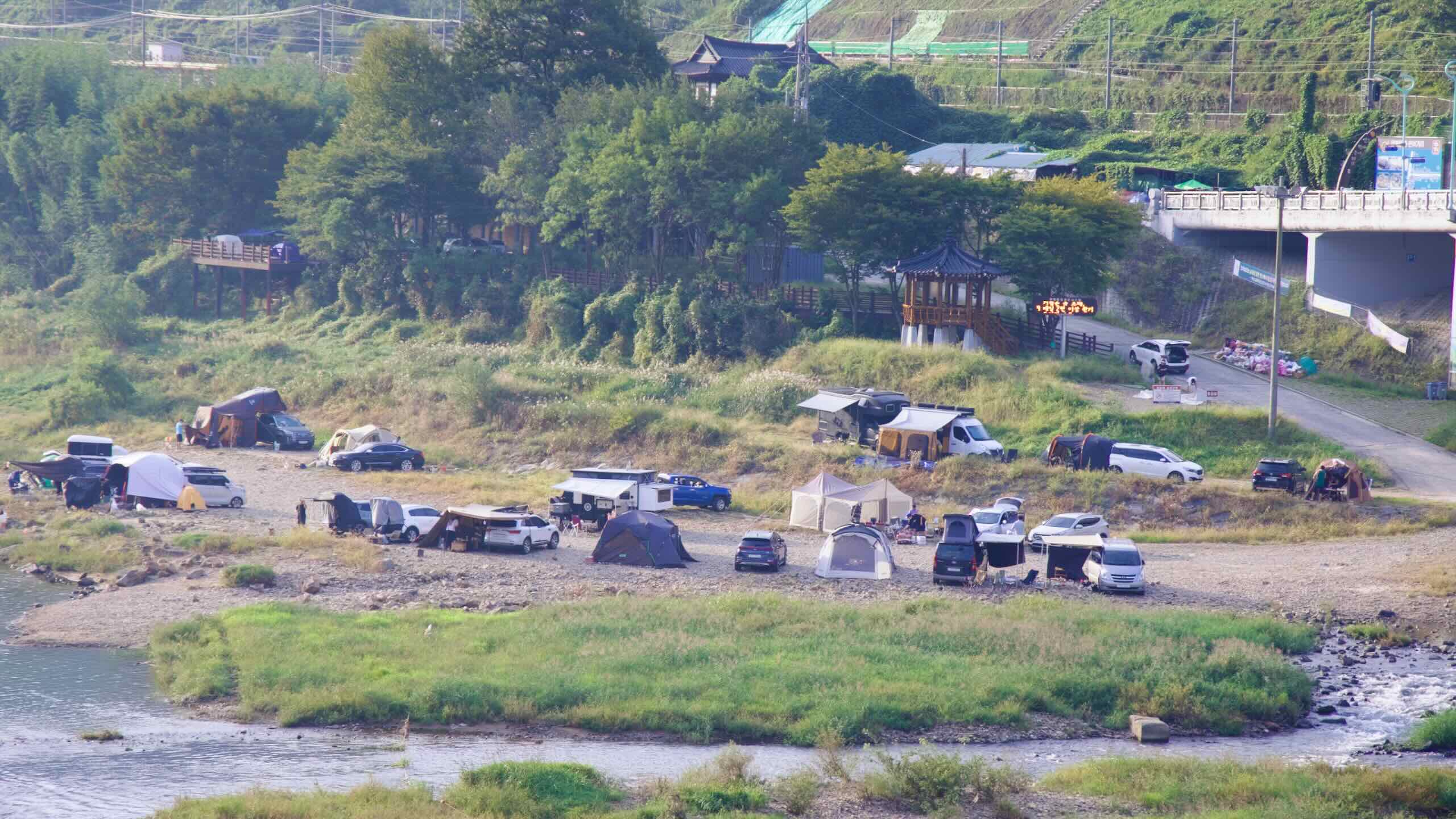
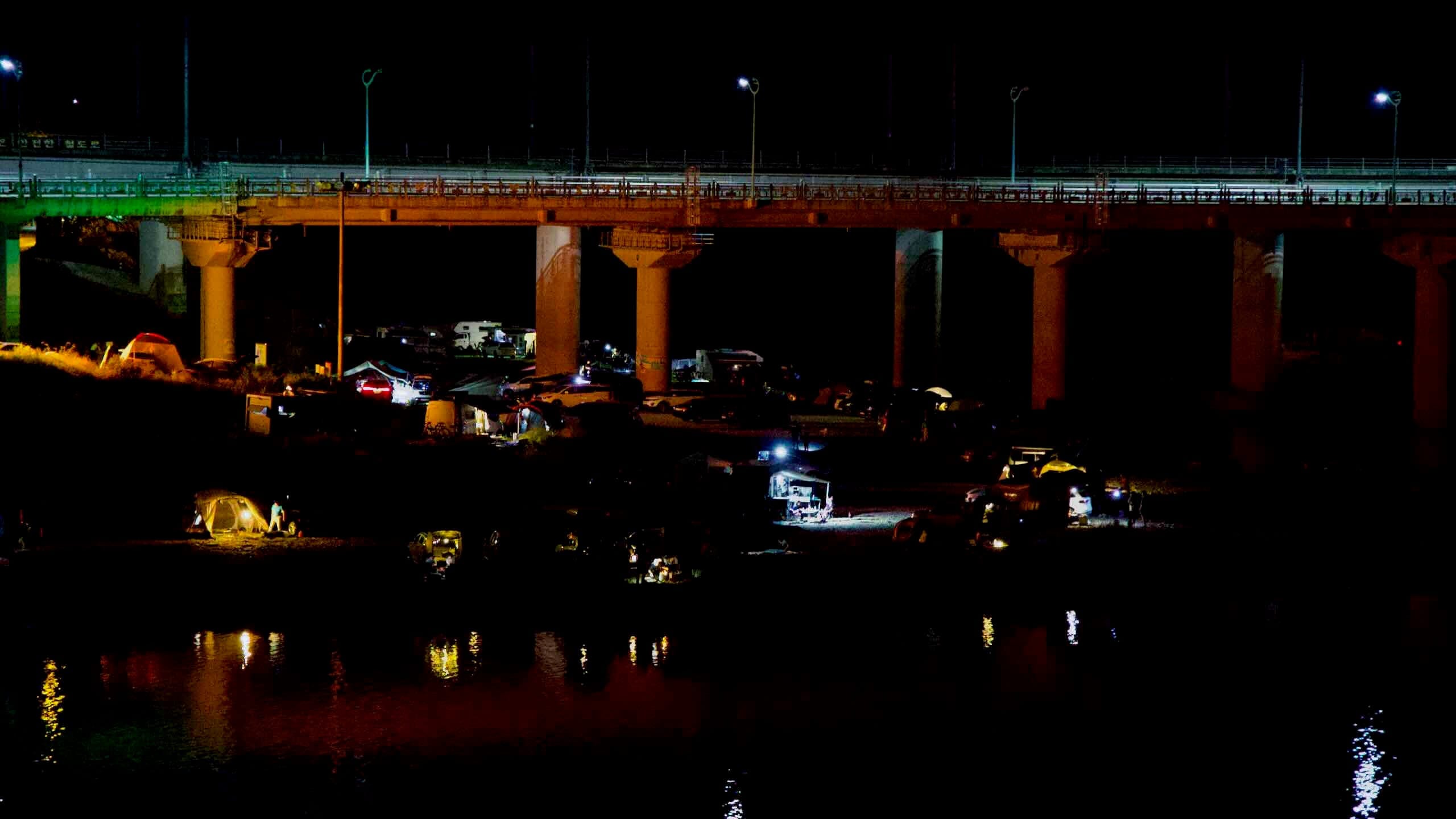
Across the river, on the south bank of the Boseong where it meets the Seomjin, you’ll find the Amnok Recreation Area (압록유원지; map). Here, the river runs slow and shallow—ideal for wading, fishing, or paddling. On summer weekends, the shoreline comes alive with tents and camper vans.