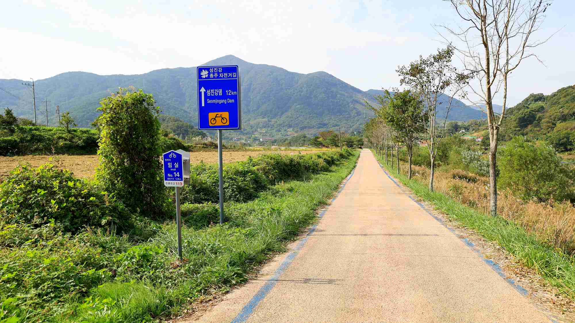
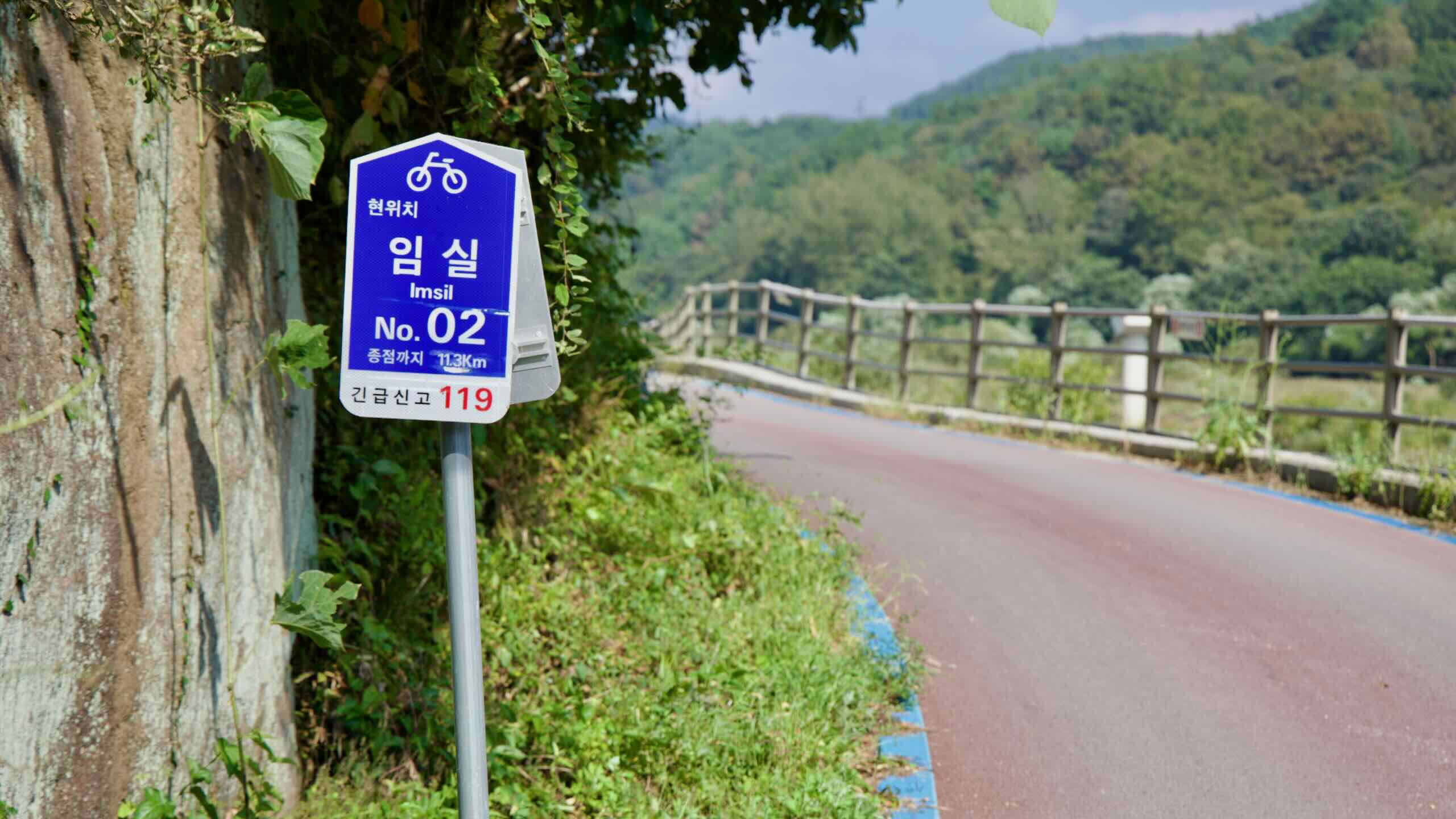
Seomjingang Dam to Janggunmok Certification Centers
Cycle from a remote town near the Seomjin River Dam and into the countryside. Follow the calm river a few short kilometers through twisting turns until you reach a collection of smooth boulders rising from the water’s surface.
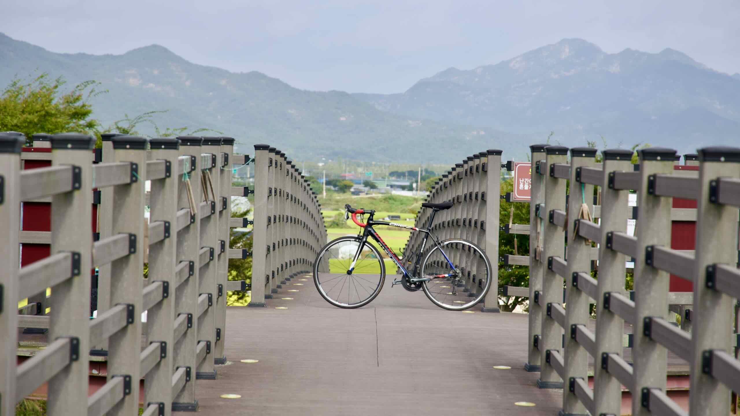
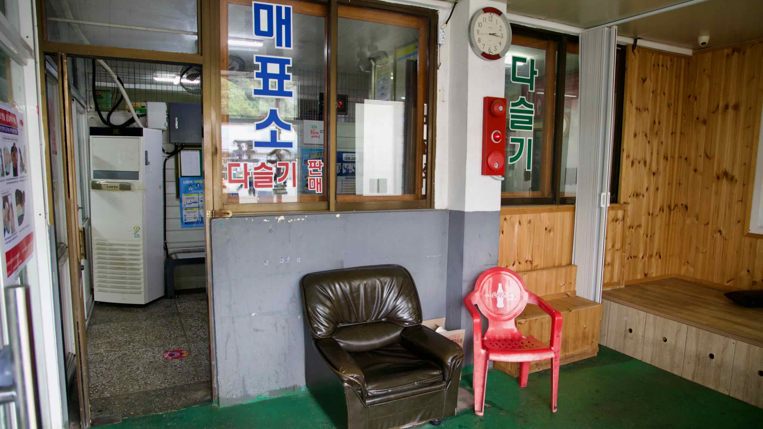
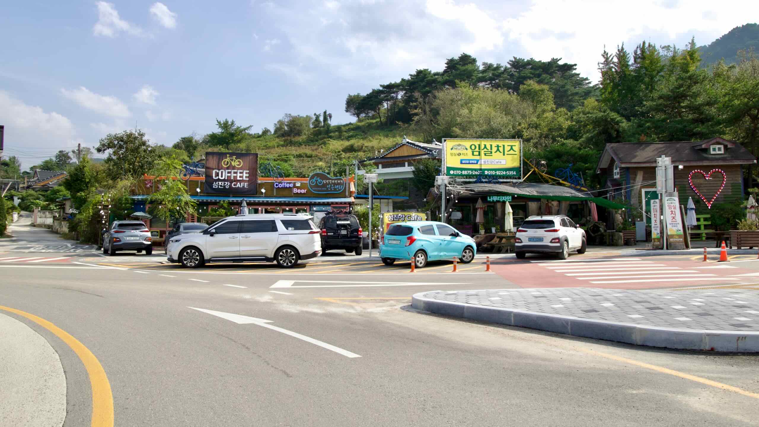
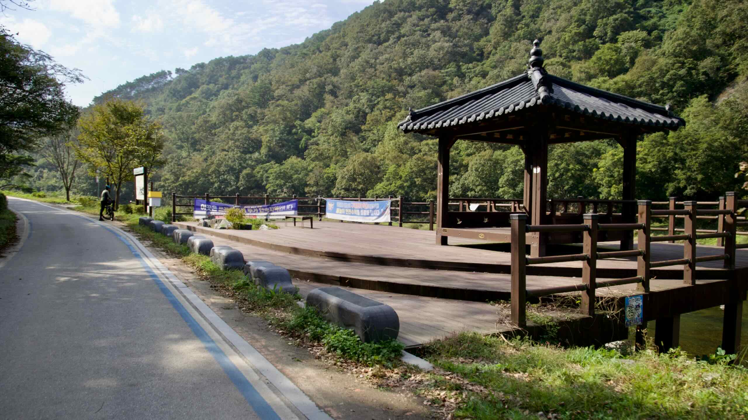
From the Gangjin Public Bus Terminal, cycle south for 1.7 kilometers. Cross the Seomjin River and find the Seomjin River Café (map) at the base of a roundabout (directions).
In the café’s courtyard sits the Seomjingang Dam Certification Center (섬진강댐 인증센터; map), your first red stamp booth on the Seomjingang Bike Path. Break out your bike passport and collect your first mark.
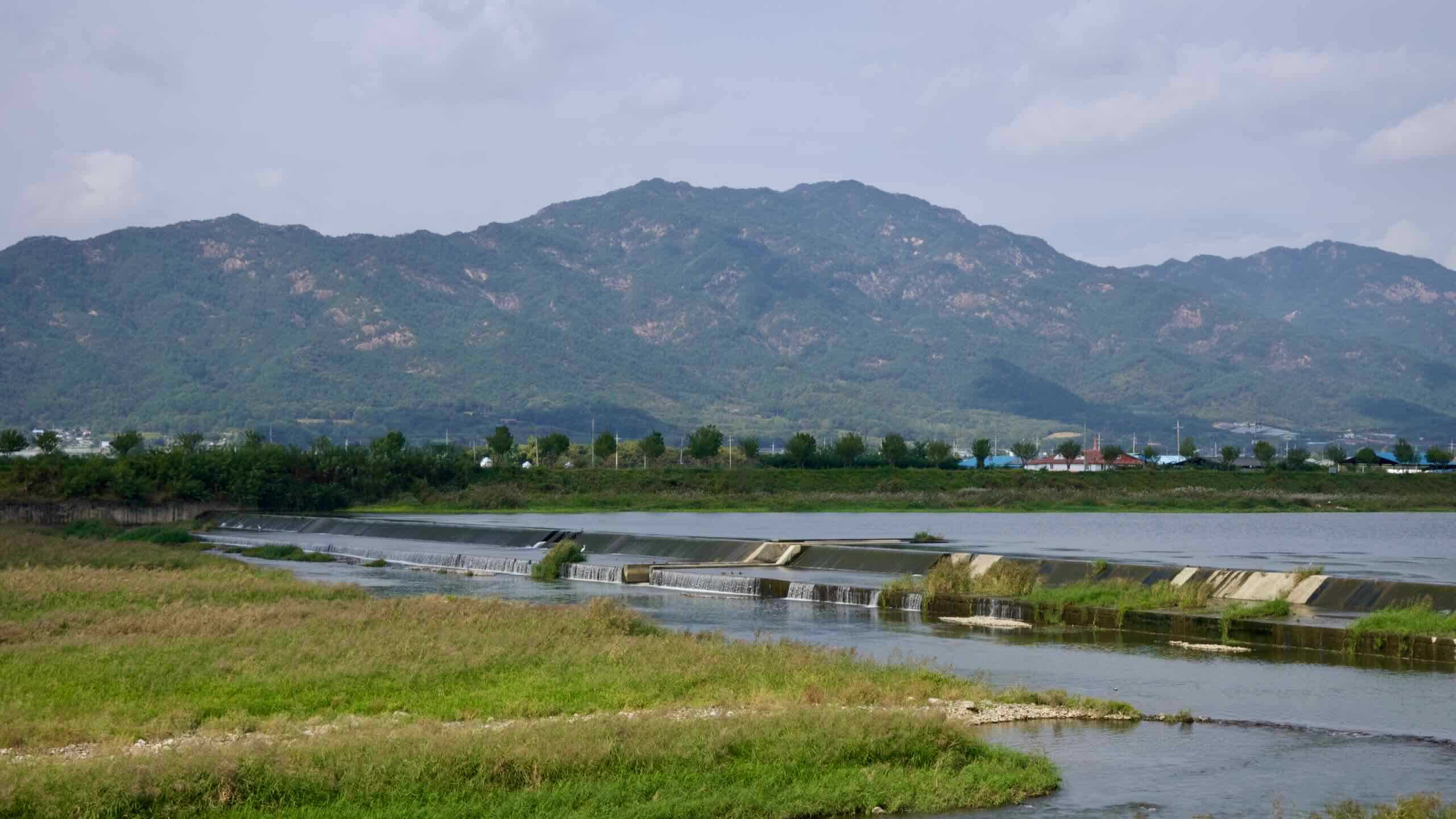
Seomjin River Dam, located in Imsil County, is South Korea’s first multipurpose dam. Completed in 1965 after years of planning and interrupted construction, the dam represented a step forward in addressing Korea’s flood control, irrigation, and energy needs.
The concrete gravity dam, standing 64 meters tall and stretching 344 meters across, has become a resource for the region and a feat of engineering. It’s also a cultural hub and a popular starting point for cyclists embarking on the Seomjingang Bike Path.
Seomjin River Dam was a milestone in South Korea’s post-war reconstruction and economic development. Construction began in 1961 as part of Korea’s First Economic Development Plan, a series of initiatives aimed at modernizing the nation’s infrastructure and boosting industrial growth.
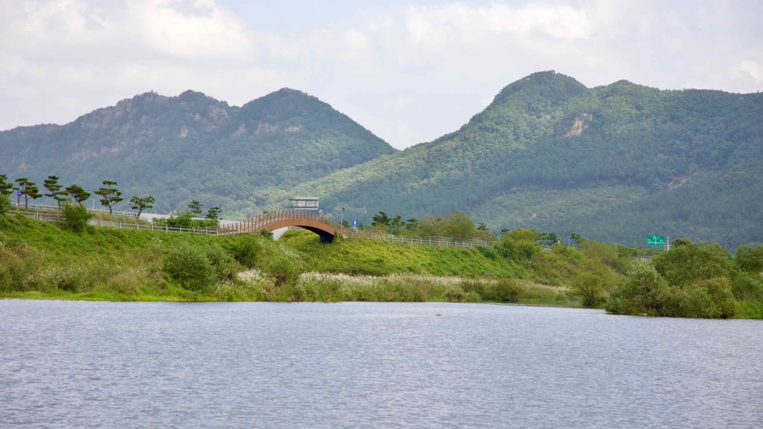
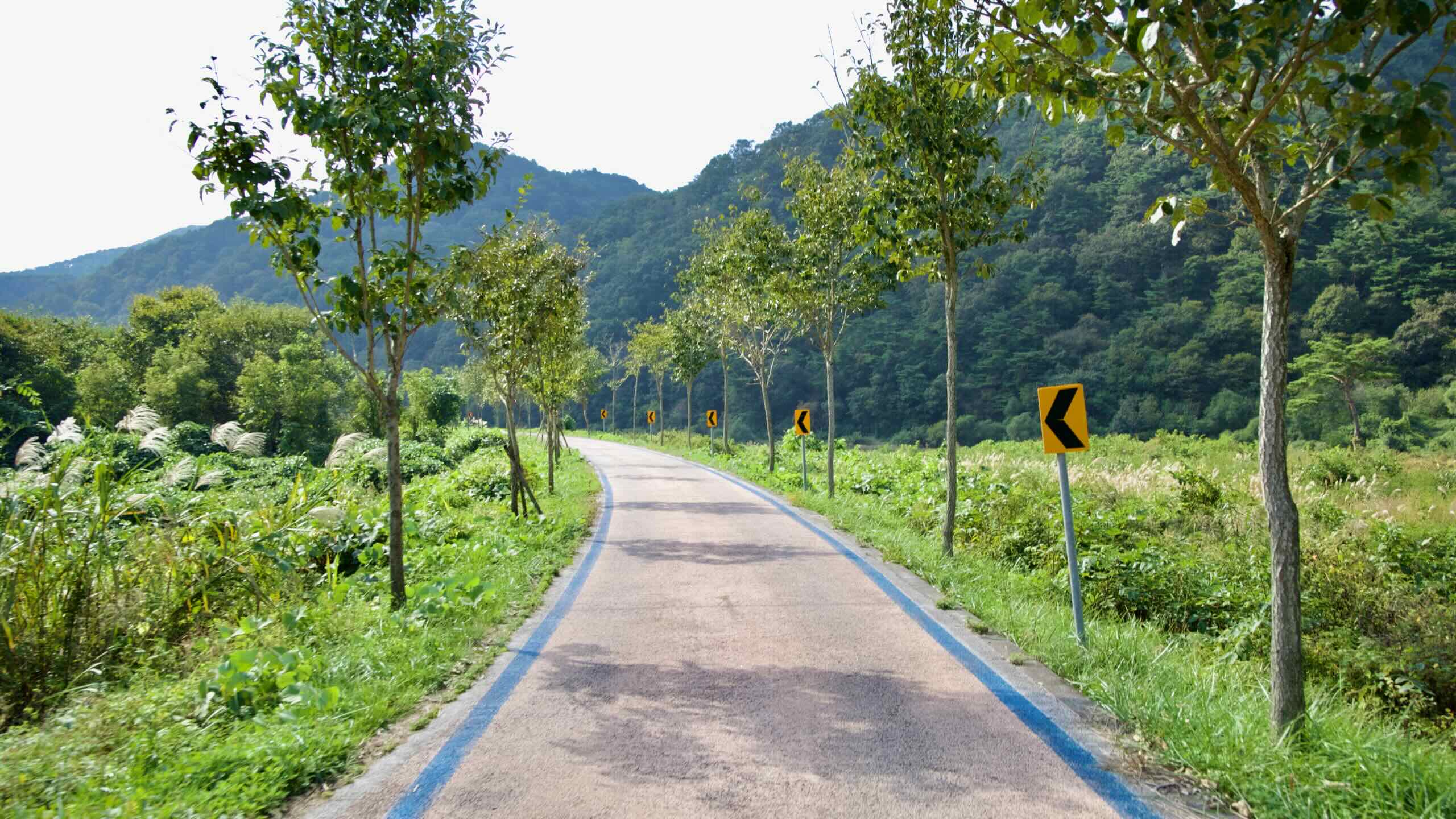
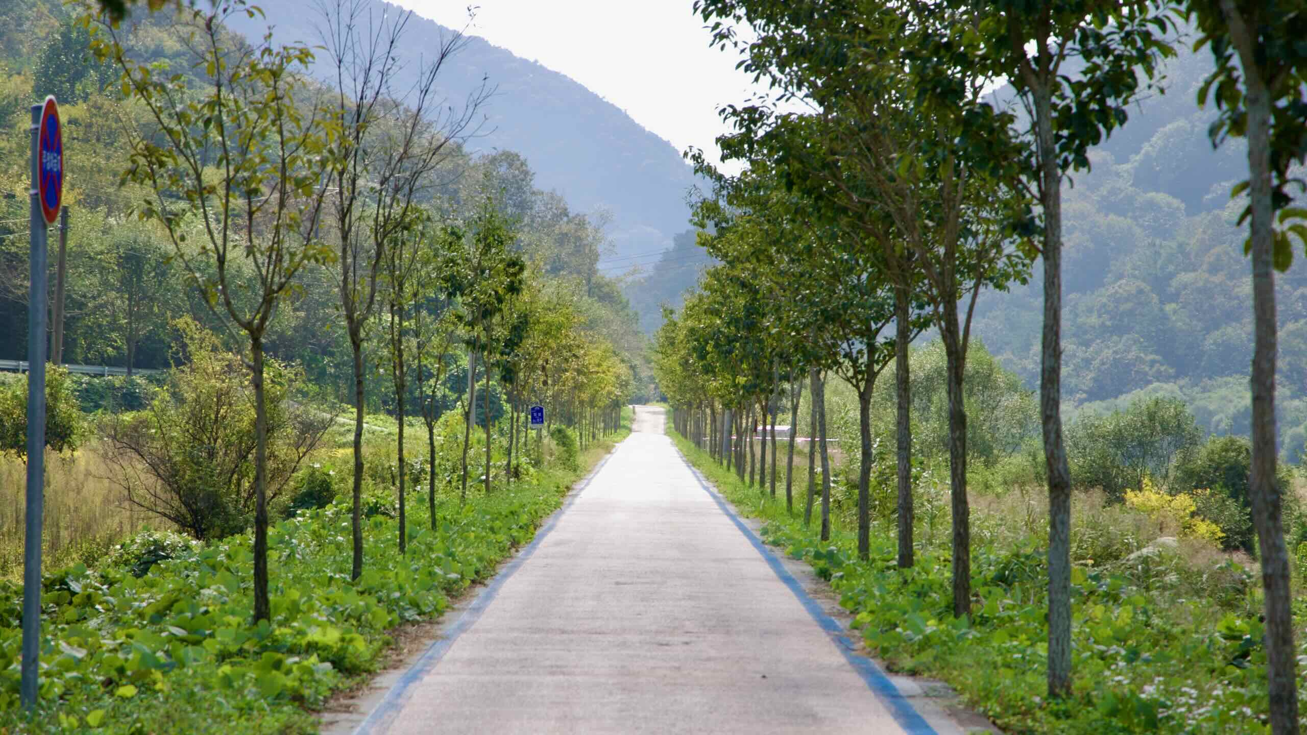
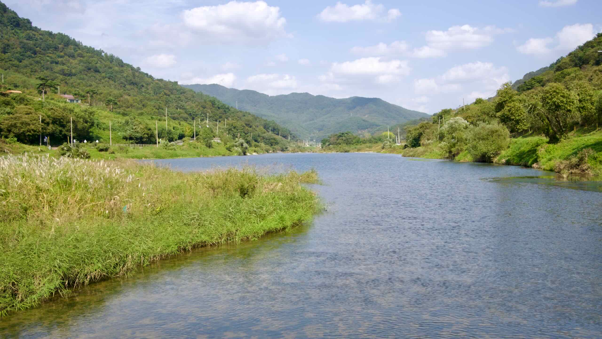
Let’s hit the road. Circle back around the roundabout and head onto the banks of the Seomjin River. Ride east, downstream.
Follow the river’s winding curves beneath Seomjin River Bridge (map).
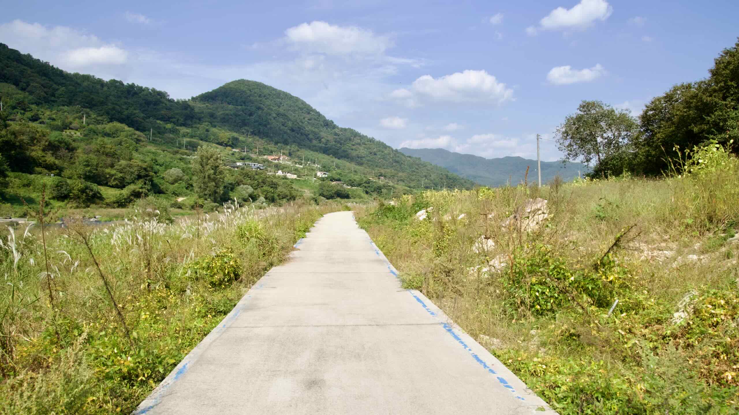
After three kilometers, cross into Deokchi Town (덕치면; map). Like Gangjin, it’s mostly farmland and farmers — just without the marts, restaurants, or guesthouses.
Imsil County
This is a good time to introduce the region: Imsil County (임실군; map) — birthplace of Korea’s domestic cheese industry.
In the 1950s, a Belgian priest named Didier t’Serstevens taught locals how to turn surplus goat milk into cheese. He later founded the Imsil Cheese Cooperative. Today, “Imsil Cheese” is a national brand. You can visit the Imsil Cheese Theme Park (임실치즈테마파크; map) to tour the facilities, make your own cheese, and sample dairy-based snacks.
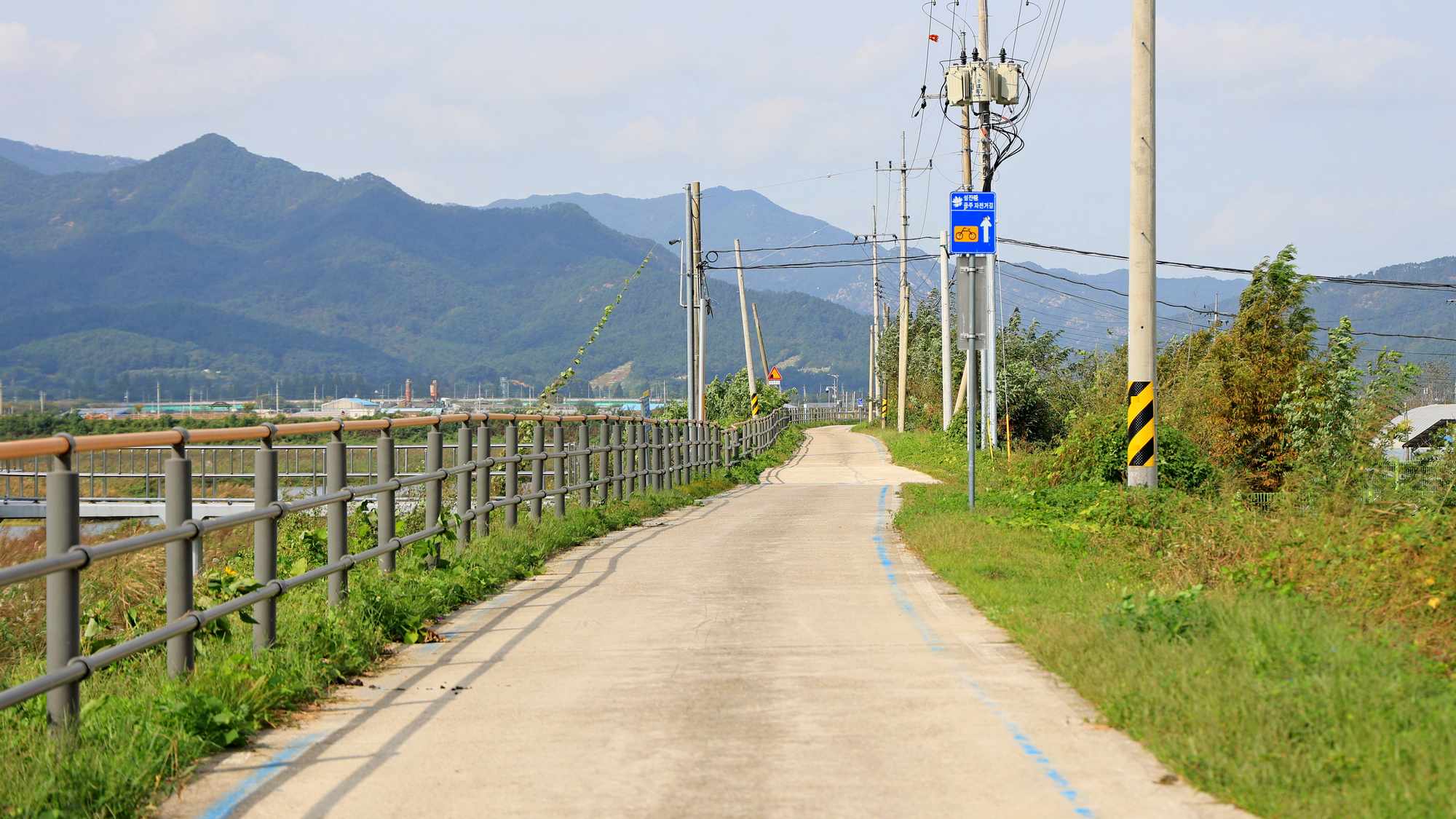
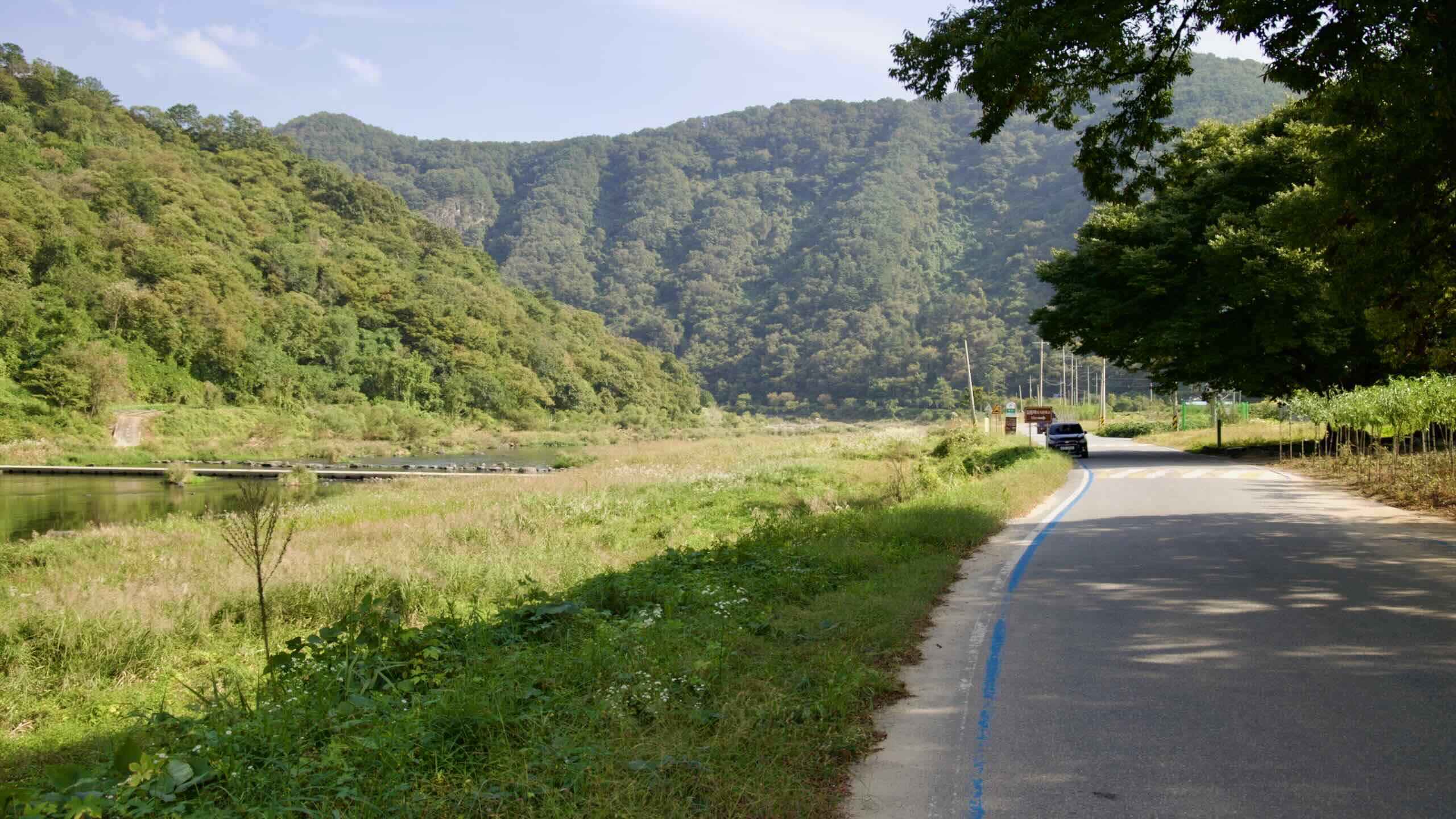
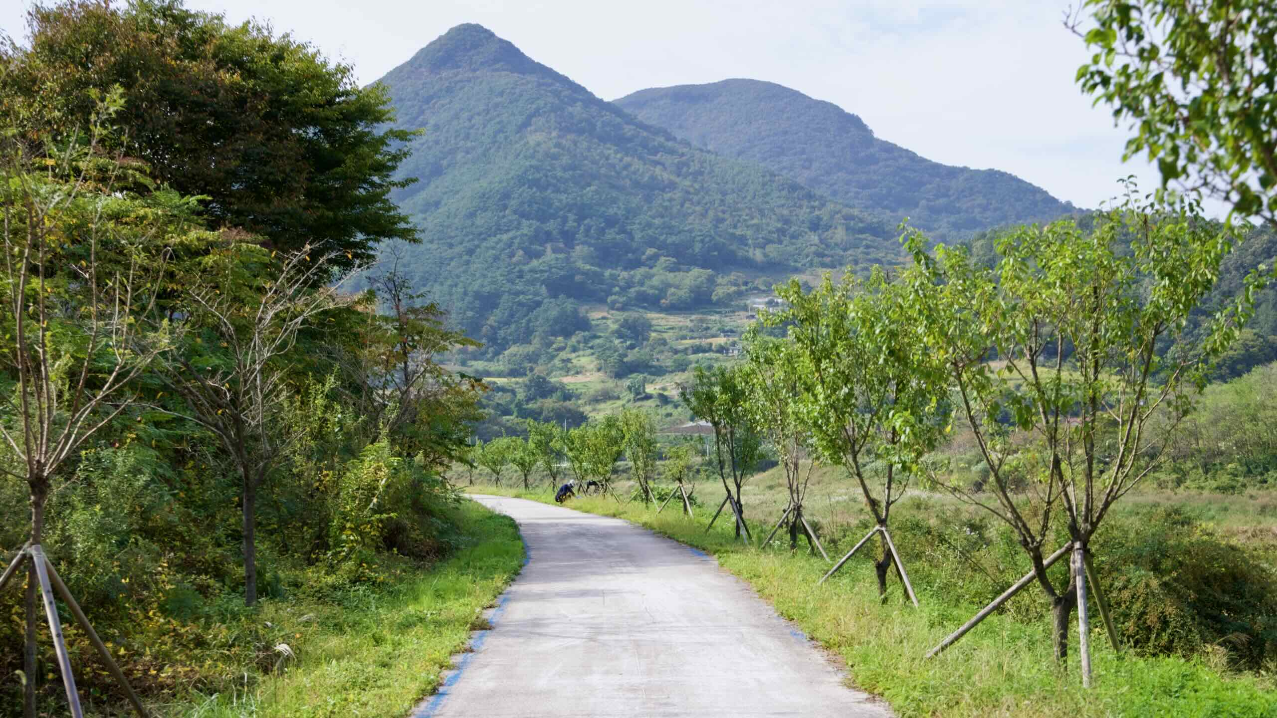
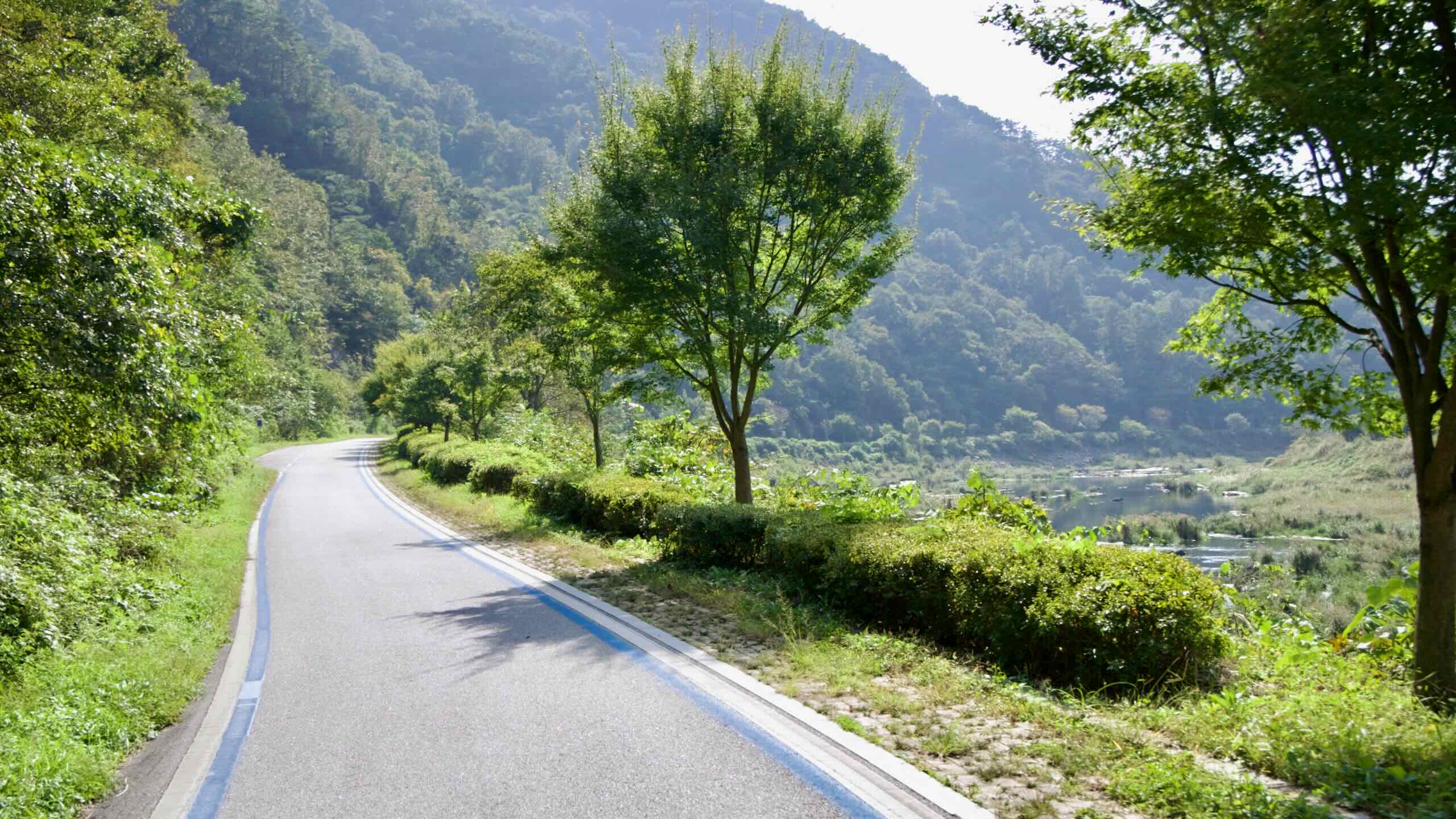
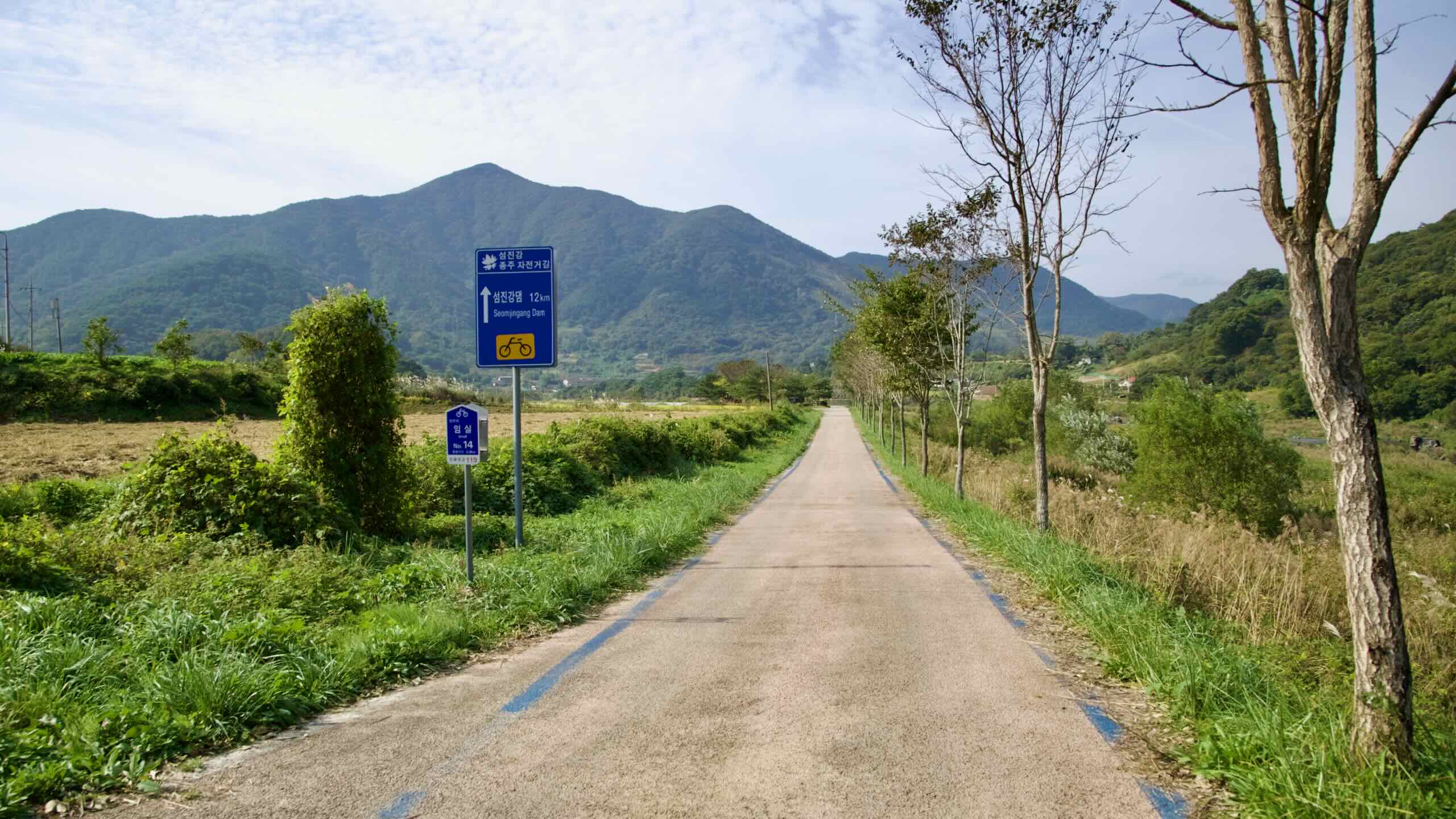
Continue along the gently rolling riverside. Cross Saemaeul Bridge (새마을교; map), pass a marshy stretch, and follow the blue bike path signs over two back-to-back bridges. At the far end stands Daekmi Mountain (댁미산; map).
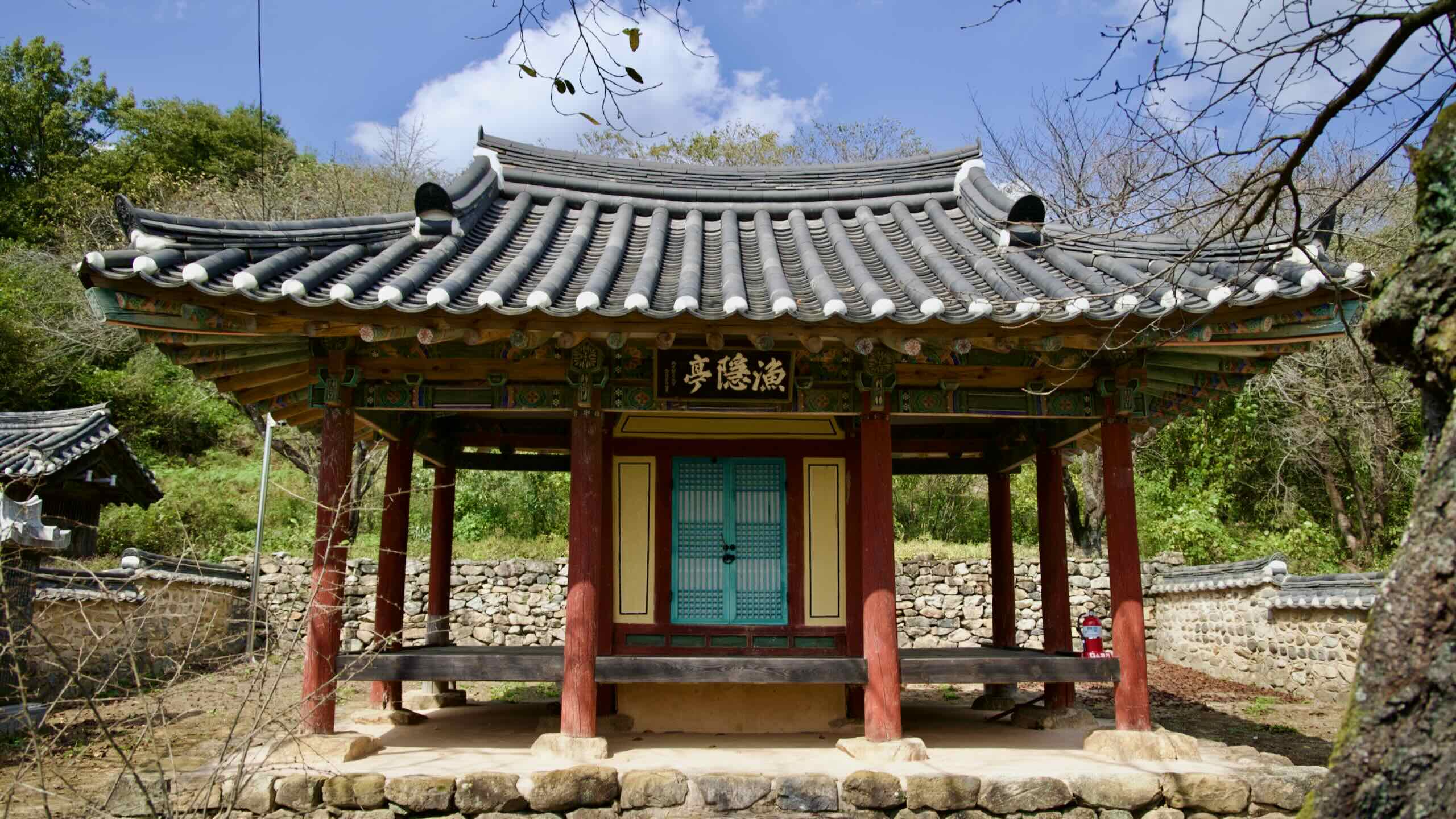
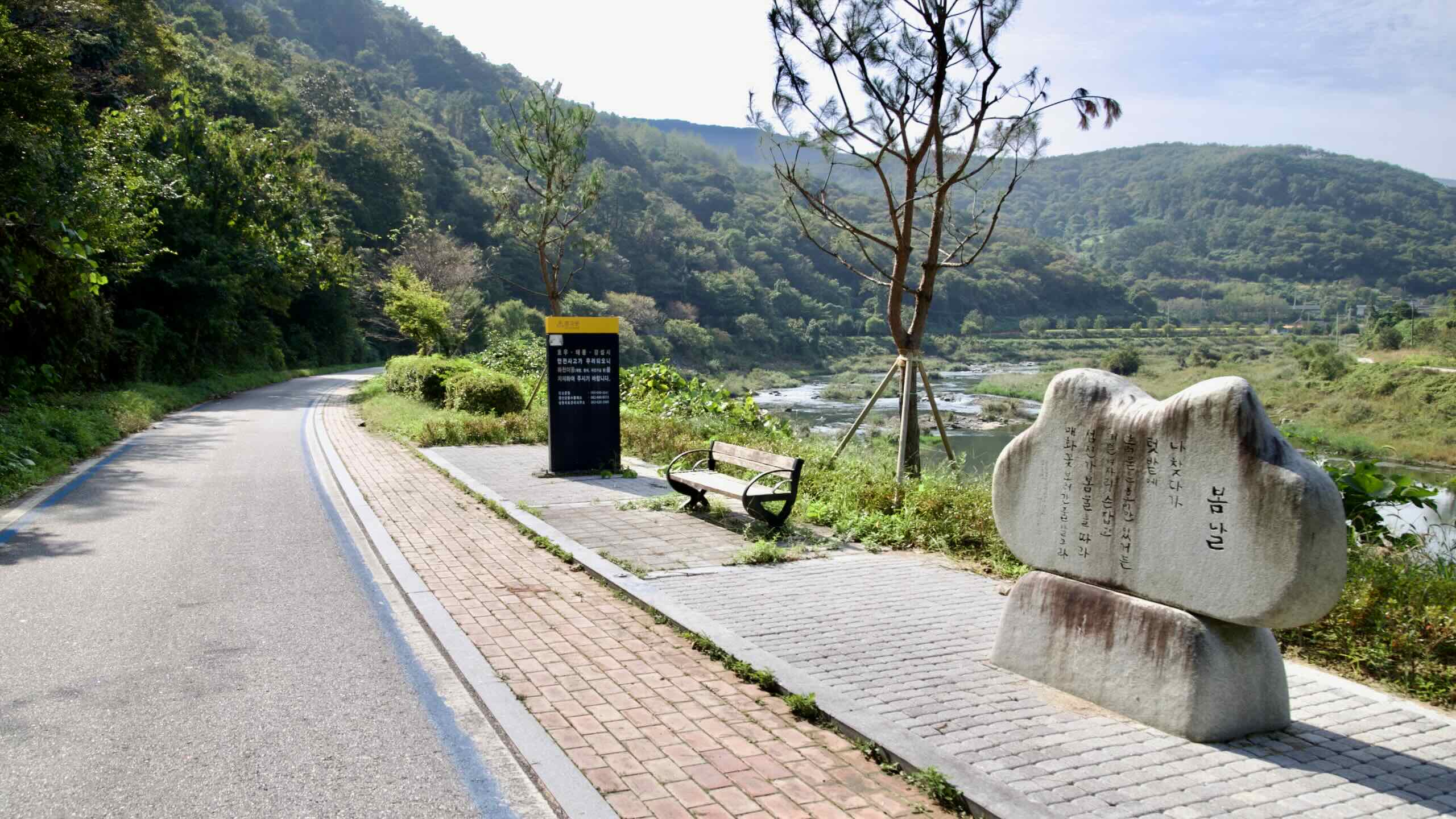
You’re now in a quiet valley, with 424-meter Yakdam Peak (약담봉; map) rising above. Along this stretch, stone markers display poems by Kim Yongtaek (김용택; b. 1948), known as the “Seomjin River Poet” for his work celebrating the river and its people. His childhood home (map) lies nearby, marked by a massive Zelkova serrata tree that casts heavy shadows over the bike path (road view).
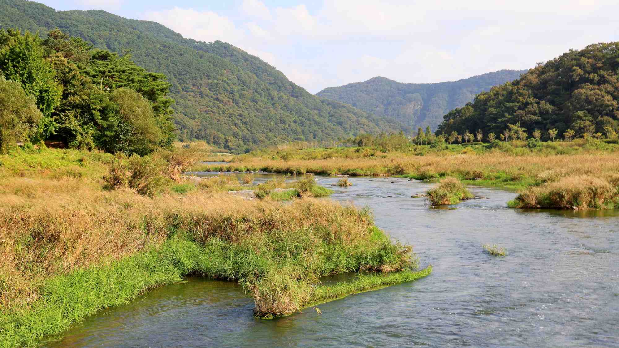
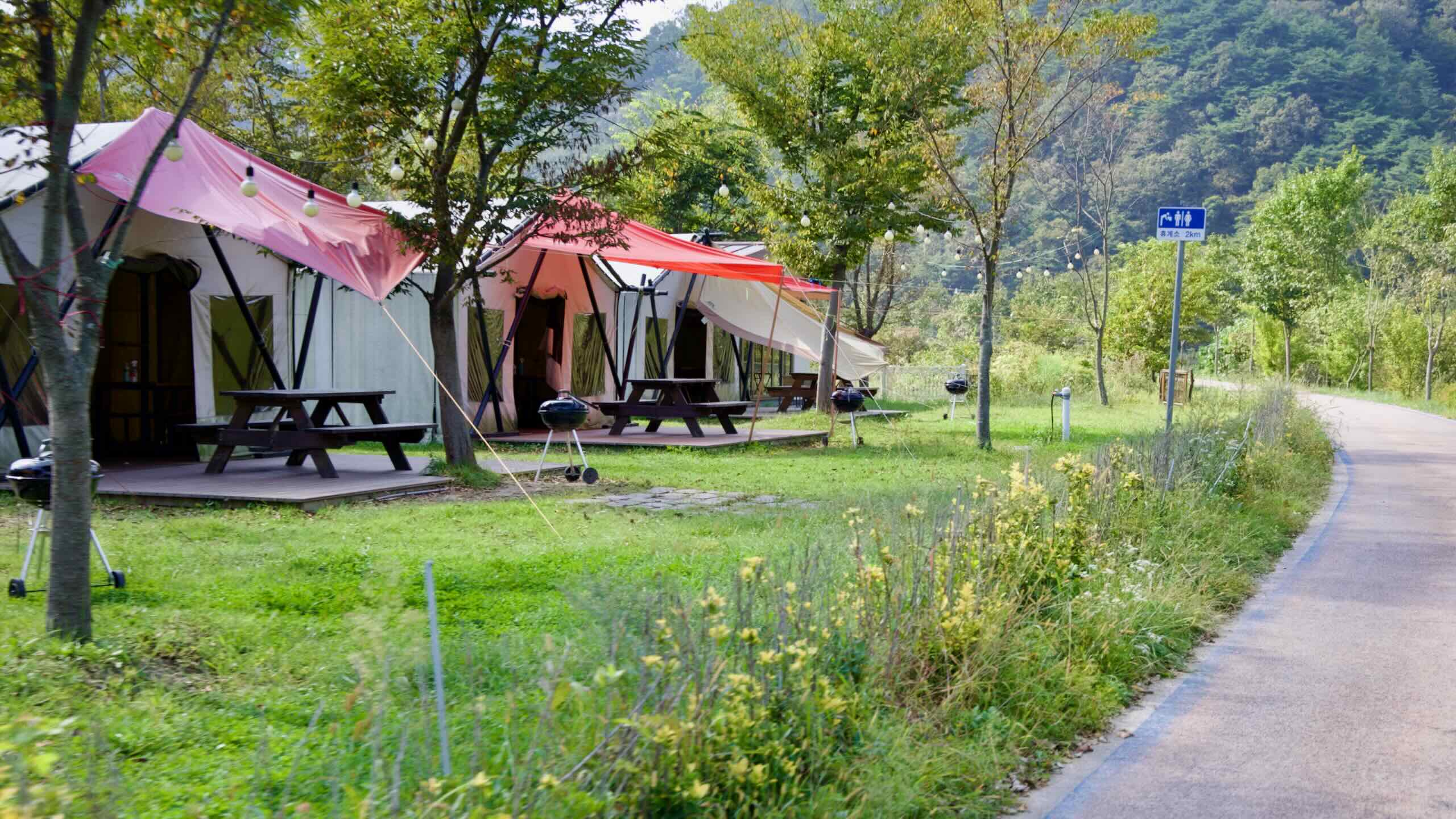
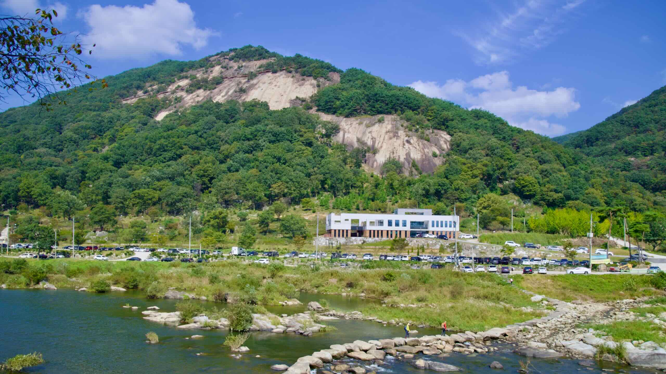
Ride deeper into the countryside, where fishers cast lines into the Seomjin’s calm waters. The bike path bends sharply near Gangbyeonsari Village Campground (map), and pensions begin to dot the landscape beneath the slopes of Yonggwol Mountain (용궐산; map).
You’ve entered Sunchang County (순창군; map), famous nationwide for its gochujang (fermented red chili paste). The county hosts an annual Gochujang Festival at Gochujang Village (순창고추장민속마을; map), where visitors can explore fermentation techniques, taste local products, and try making their own.
Sunchang also champions eco-tourism, with recreational forests featuring pine-shaded trails, suspension bridges, and waterfalls.
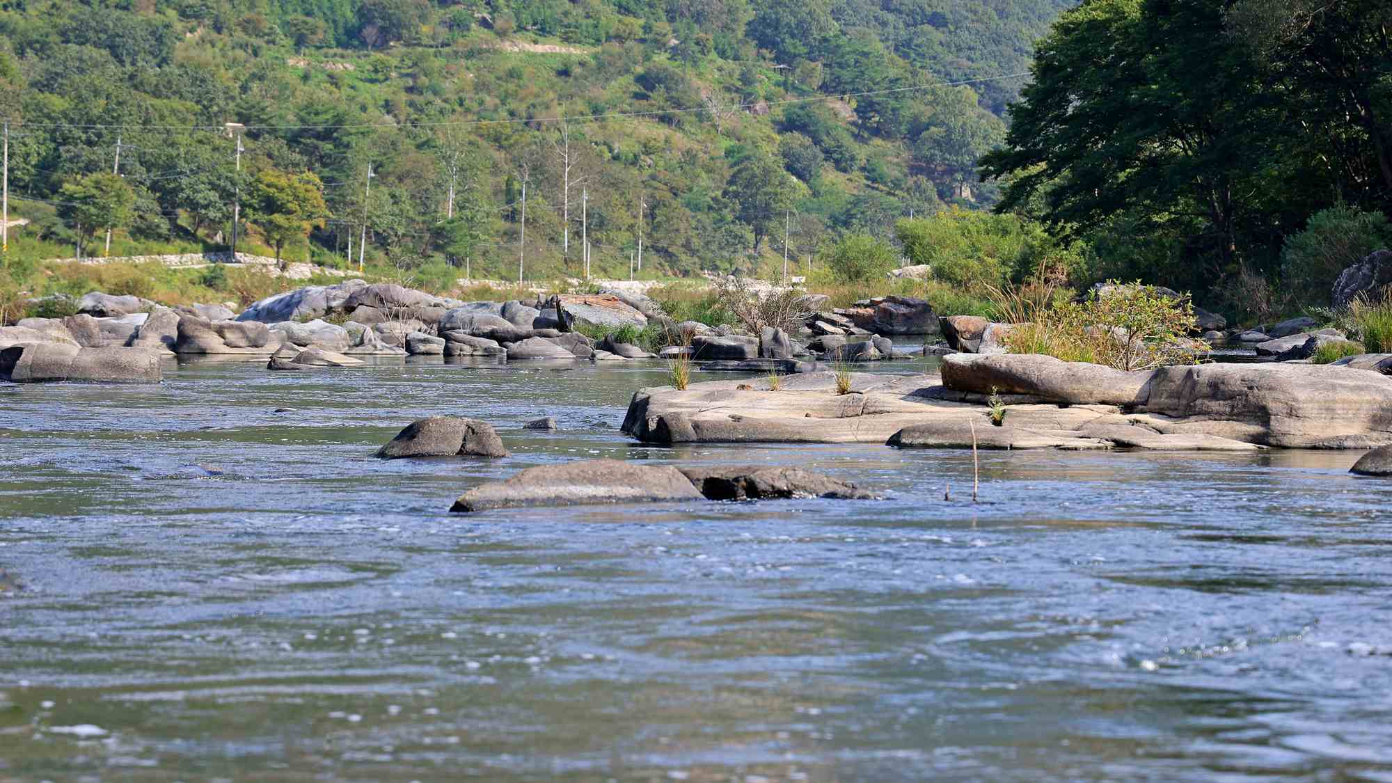
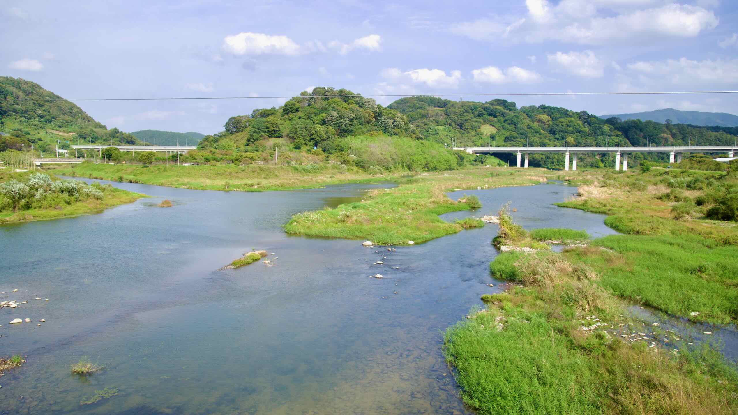
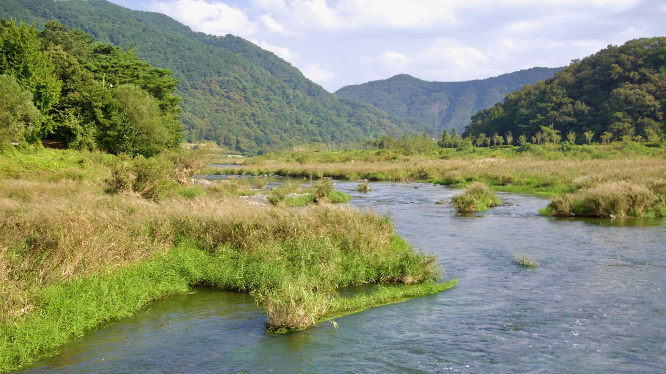
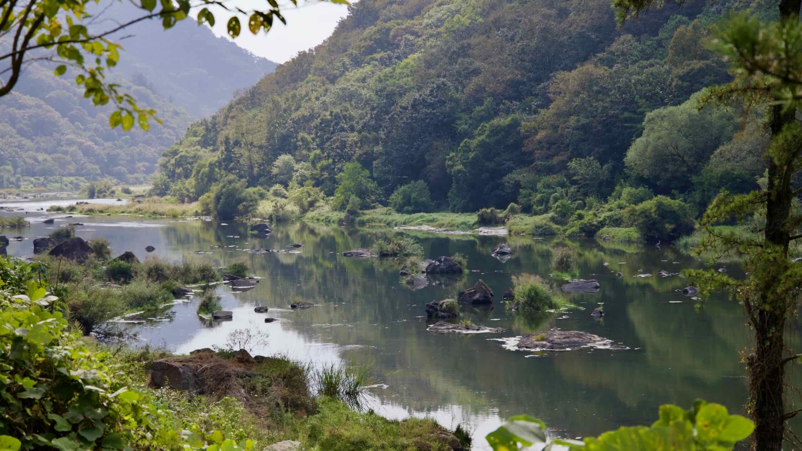
As you continue, look to the river. Unique smooth rock formations begin to appear. After a half-kilometer, they multiply and form Janggunmok, your second major highlight along the Seomjingang Bike Path.
Janggunmok, located in Sunchang County, is a famed rock formation shaped over thousands of years by the relentless flow of water in the upper reaches of the Seomjin River. Surrounded by Yonggwol Mountain and Muryang Mountain, the site is steeped in history and legends.
A key stop on the Seomjingang Bike Path, the area serves as a popular waypoint for cyclists completing the route, making it a hub for both outdoor enthusiasts and those exploring the cultural and ecological highlights of the Seomjingang region.
The name “Janggunmok,” meaning “General’s Neck.” It derives from the topography of the nearby Yonggwol Mountain and Muryang Mountain, which are said to resemble a “General’s Seated Posture” (장군대좌형) in Korean geomancy. This formation is thought to bring balance and prosperity to the region.
But wait! isn’t there supposed to be a stamp booth around here?
Yes. It’s named after Janggunmok. But it actually sits about two kilometers down the path (directions).
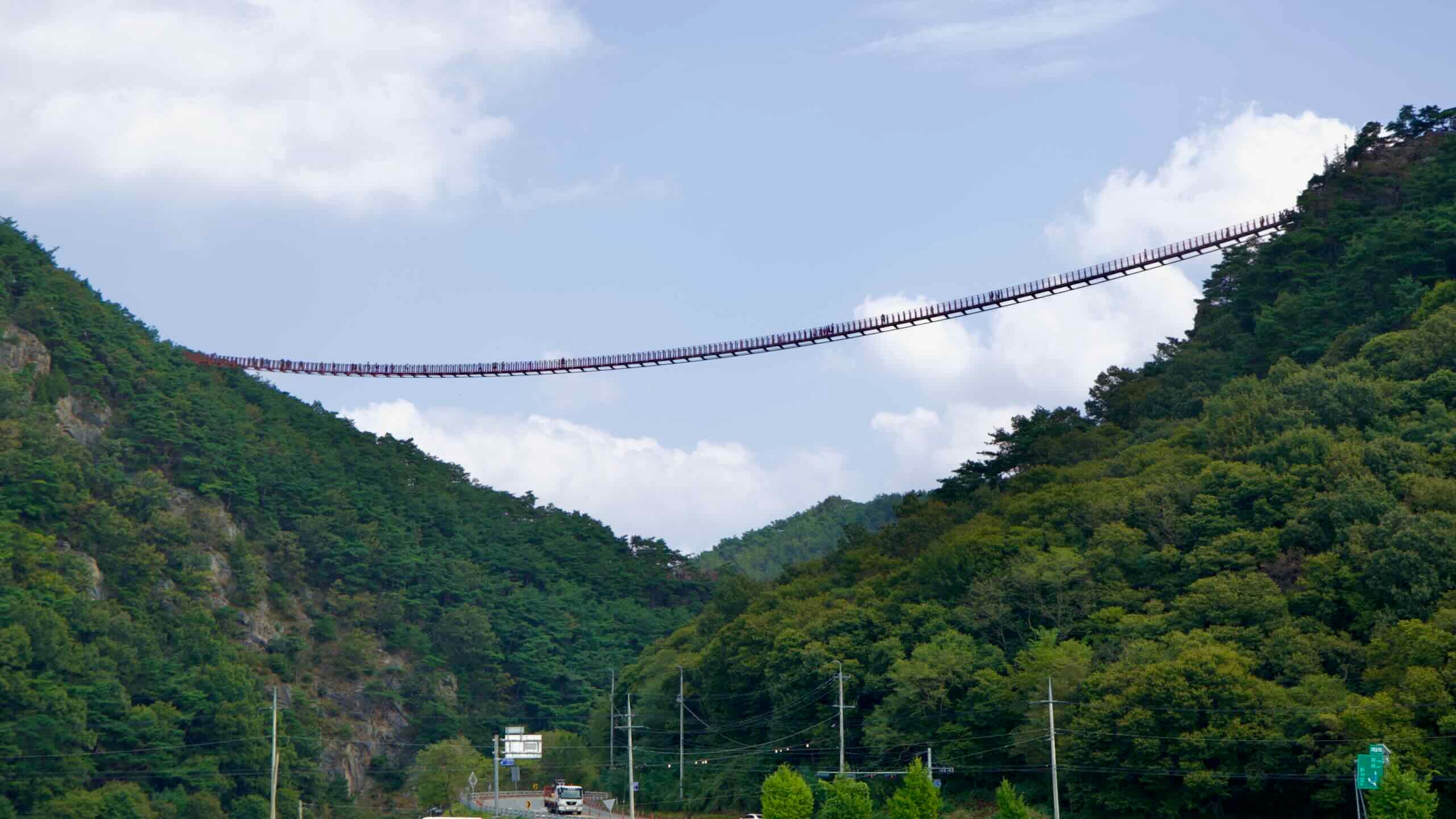
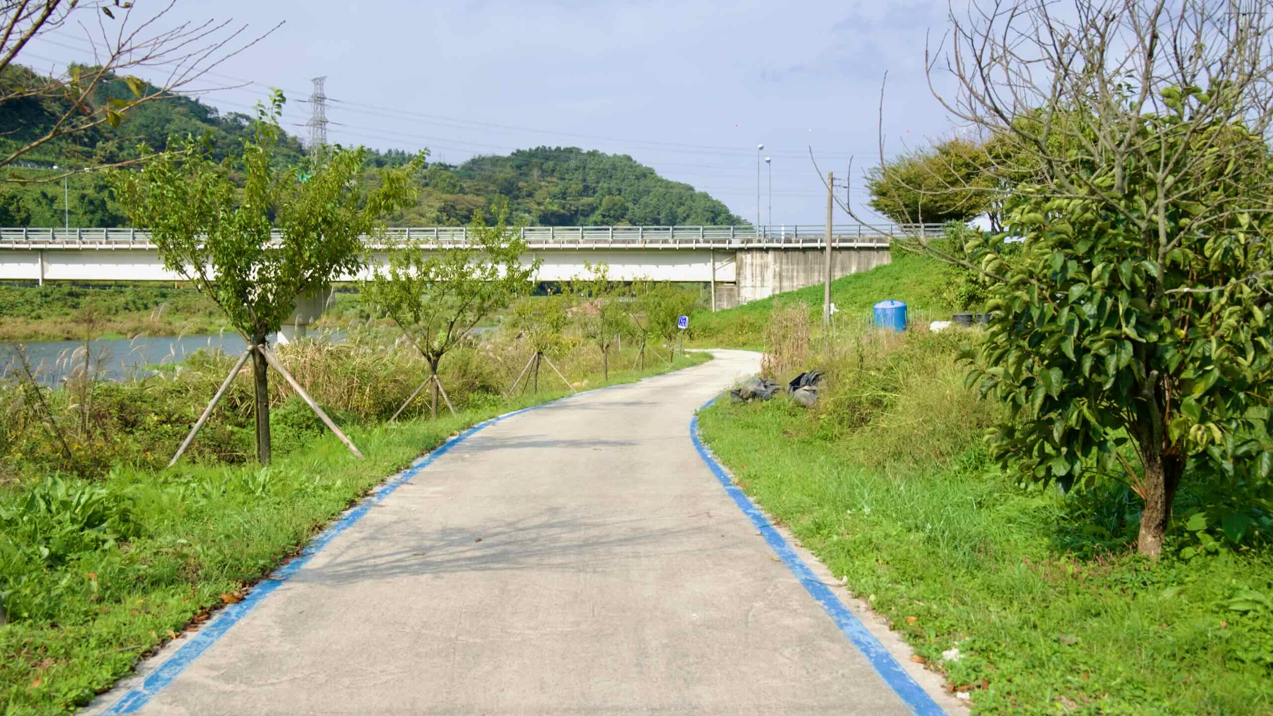
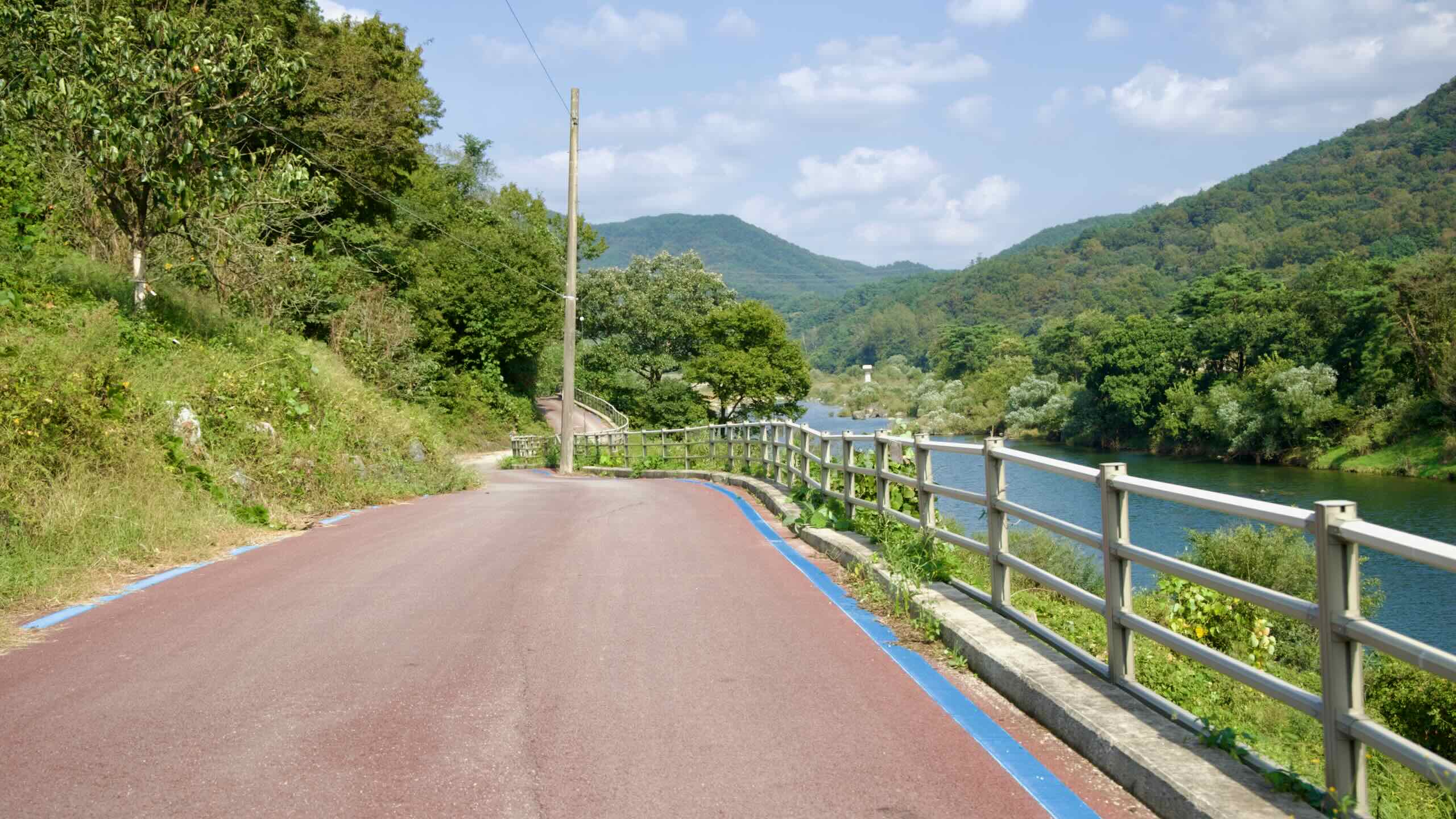
So let’s keep pedaling. Cross the pedestrian- and bike-only Hyeonsu Suspension Bridge (현수교; map) and follow the path’s gentle inclines through the valley between Yonggwol Mountain and Beoldong Mountain (벌동산; map).
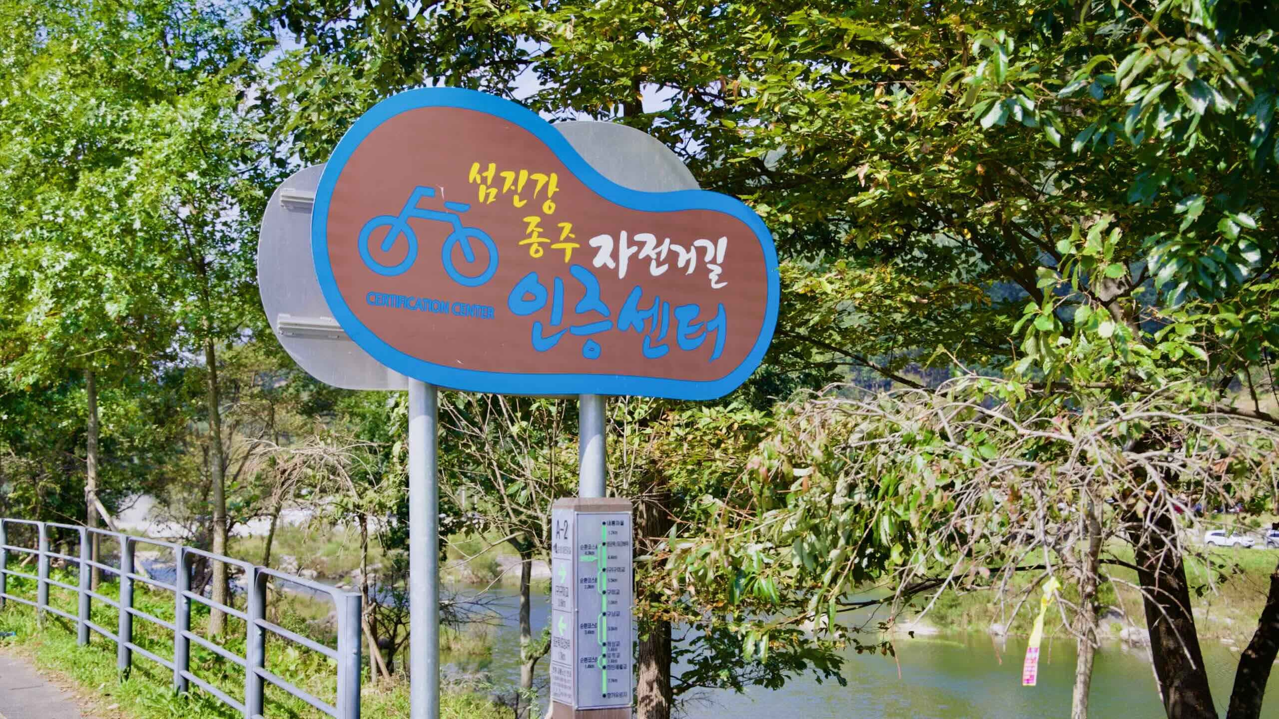
After 2 kilometers, you’ll spot a rest area with a red stamp booth. That’s the Janggunmok Certification Center (장군목 인증센터; map), your second stamp along the Seomjingang Bike Path.
This forested park climbs the slopes of Yonggwol Mountain. It offers hiking trails, forest cabins, and decked walkways that overlook the Seomjin River Valley. Its signature feature is the Sky Trail (하늘길코스), a series of wooden stairs and platforms that lead to panoramic views from a scenic pavilion called Biryong (비룡정).