Beyond the glint of modern cities, the bike path meets history. In Gongju City, discover fortresses built by the Kingdom of Baekje (백제; 18 BCE ~ 660 CE) and ancient capital ruins in Buyeo County.
Begin at a remote dam at the eastern end of the Geumgang Bike Path. Cruise along the Geum River past restaurants and cafes in the northern reaches of Korea’s fifth-largest city.
Reaching the eastern start of the Geumgang Bike Path at the Daecheong Dam Certification Center isn’t easy. Despite its proximity to Daejeon, Cheongju, and Sejong, none offer direct public transit to the start line.
The Daecheong Dam Certification Center lies in a courtyard above the dam. To reach it, climb 54 meters over 1.7 kilometers (3.18% gradient). Not steep, but it’s a notable hill along the Geumgang Bike Path (directions).
Begin your ride at the Daecheong Dam Certification Center (대청댐 인증센터; map). Overlook Daecheong Lake, collect your first stamp, and enjoy views of Cheongnamdae (청남대; map), a former presidential villa across the lake.
Let’s take a quick look at this first highlight along the path.
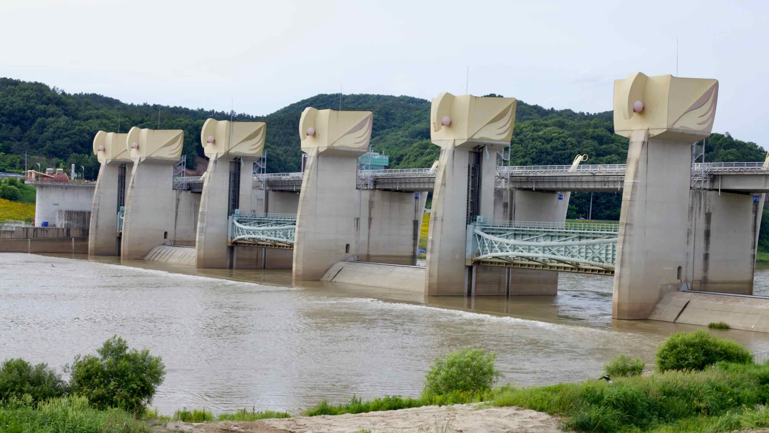
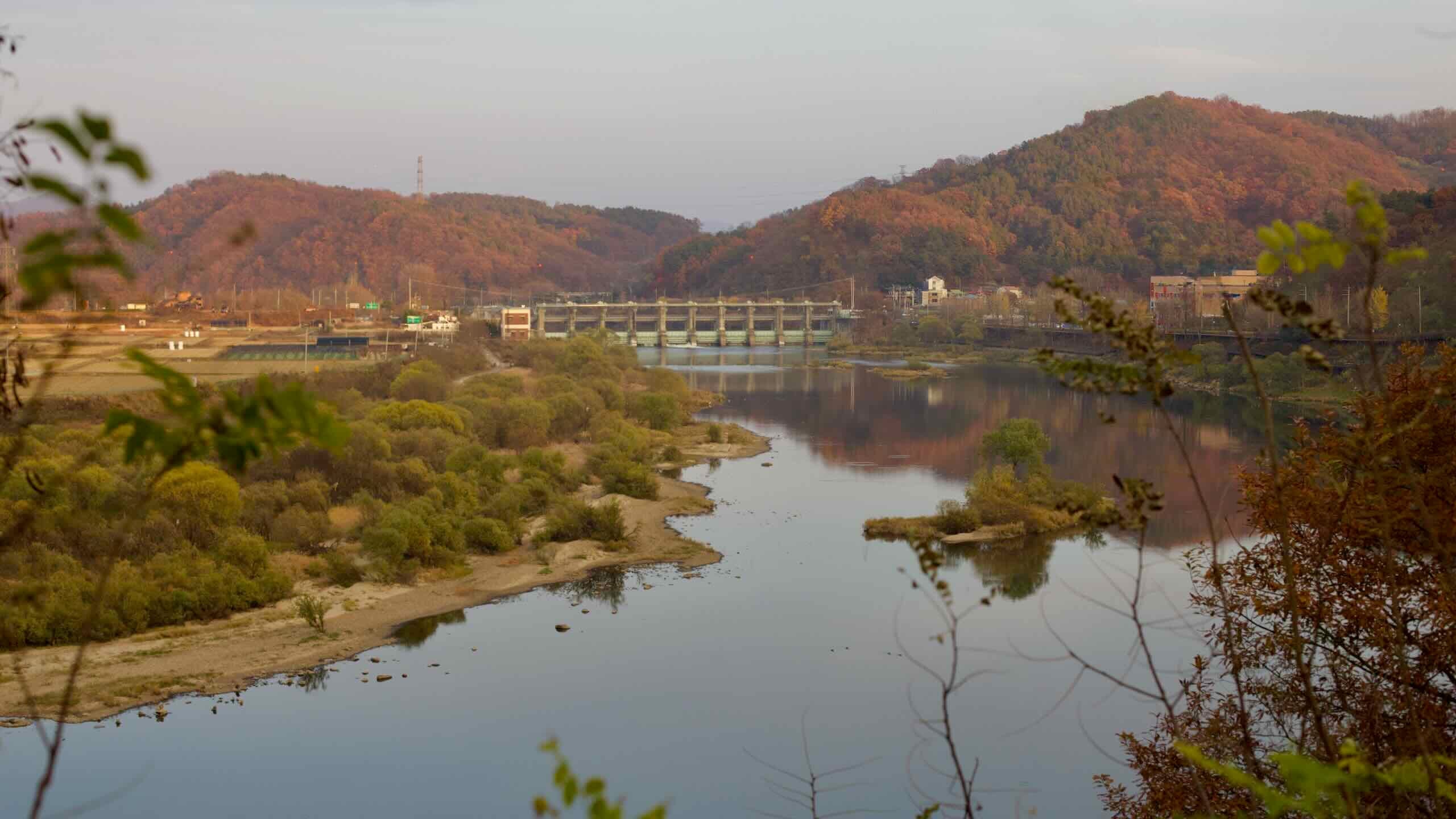
Daecheong Dam, located between Daejeon and Cheongju, spans the Geum River and plays a vital role in South Korea’s water management infrastructure.
Completed in 1980, it ranks as the nation’s third-largest artificial reservoir by storage capacity, following Soyang Lake and Chungju Lake. The dam’s primary purposes include flood control, water supply, and hydroelectric power generation.
Daecheong Dam was built as part of the Four Rivers Water Resource Development Plan, initiated in the 1970s to address water management challenges in the face of rapid industrialization and population growth.
Now’s a good time to take a look at the city you’re cruising through.
Cradled in the lowlands where the Geum River slips between the Sobaek ranges, Daejeon Metropolitan City (대전광역시; map) is one of Korea’s six metropolitan cities, with 1.5 million residents. Sitting in the middle of the country, the city is a transportation hub where the high-speed KTX line from Seoul splits—one track heading southwest, the other southeast.
Known as “Korea’s City of Science,” Daejeon is home to institutions like KAIST, ETRI and the Daedeok Innopolis (Daedeok Science Town). More than 20 national labs and 40 corporate R&D centers cluster in the leafy Daedeok Valley, employing some 17,000 PhD-level scientists—roughly a tenth of the country’s total—and generating Korea’s densest stream of patents.
Daejeon also features abundant greenways and a network of streams flowing through its downtown, including Gap Stream (갑천; map), Yudeung Stream (유등천; map), and Yuseong Stream (유성천; map). These offer traffic-free cycling and walking paths—often faster than cars—and connect directly to the Geum River and Geumgang Bike Path.
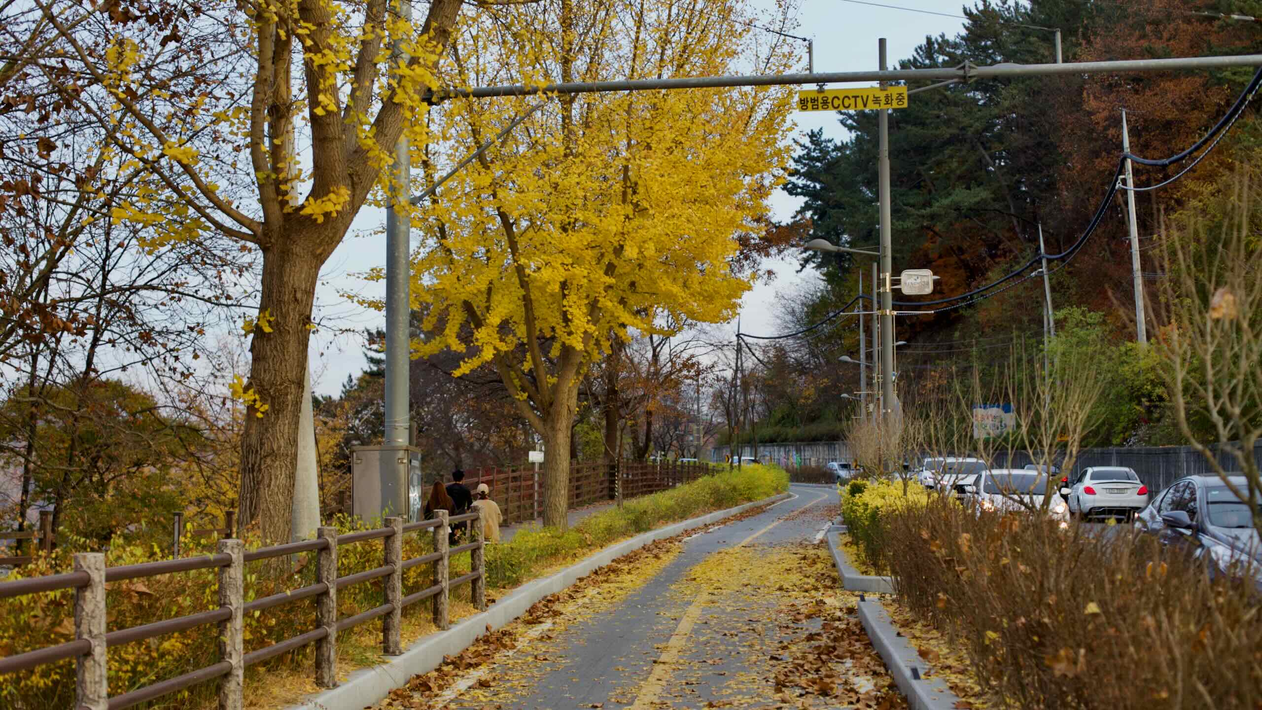
From Daecheong Road, ride into the Shintanjin Area (신탄진; map), a remote district in the northern reaches of Daejeon City.
What began as a riverside ferry crossing (“jin” means ford), Shintanjin grew into a rail stop on the century-old Gyeongbu Line and later became an interchange on Expressway 1. The neighborhood’s Sintanjin Station still dates to 1905 and serves a community of about 14,000 residents, many employed by the KT&G Sintanjin plant—one of the world’s largest tobacco factories.
One of the town’s main features is Shintanjin Station (신탄진역; map). The streets around it are known for fiery jjamppong (spicy soup) and late-night pojangmacha stalls that stay open until the first Mugunghwa train rolls in.
Shintanjin Area to Hapgang Park
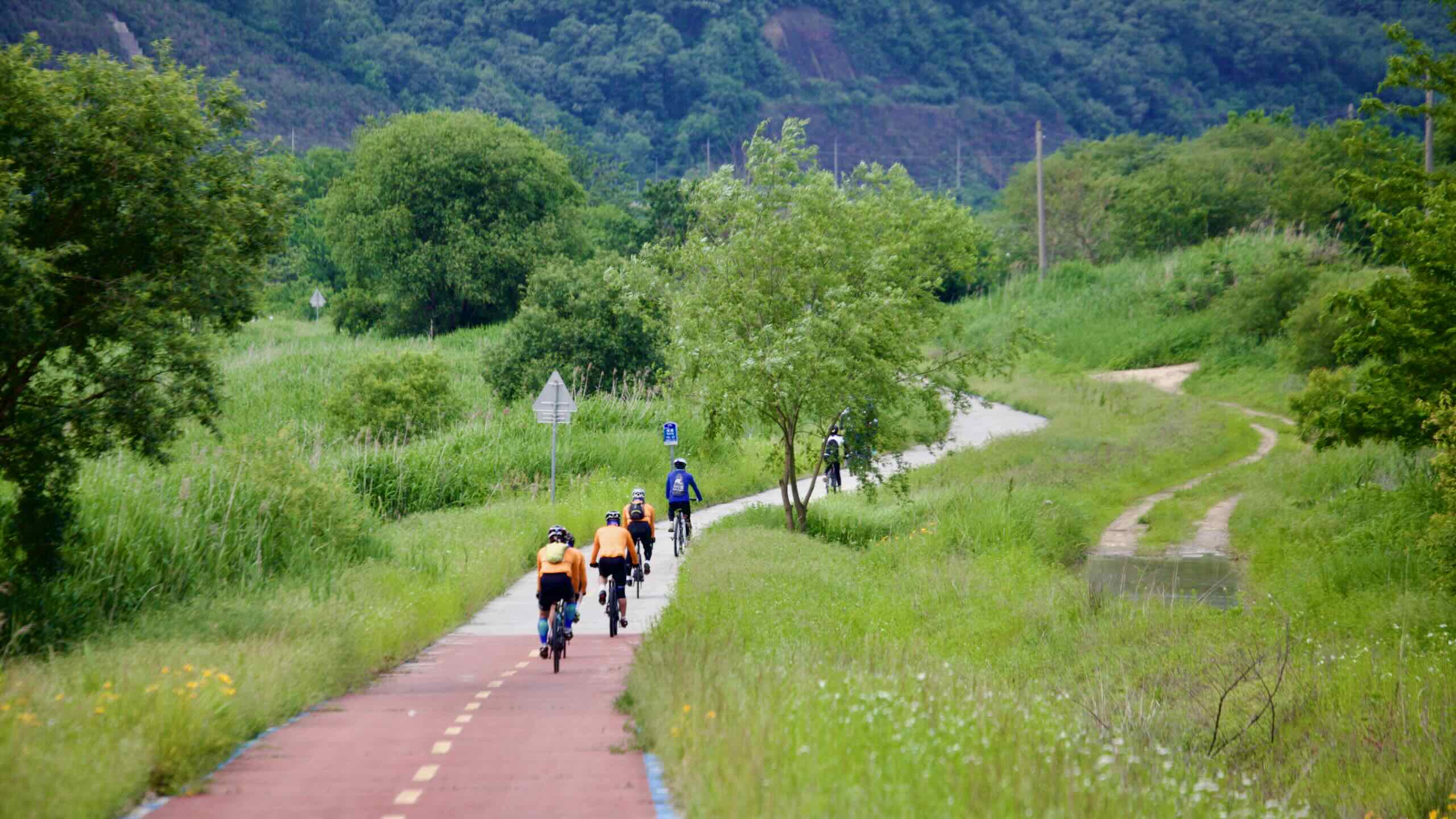
Cruise along the opening stages of the Geum River through rural stretches filled with parks, picturesque bridges, and a healthy dose of nature.
Cycle out of the Shintanjin Area by passing under Hyeondo Bridge (현도교; map), then climb the switchback ramps (road view) from the bike path onto the bridge deck and cross the Geum River.
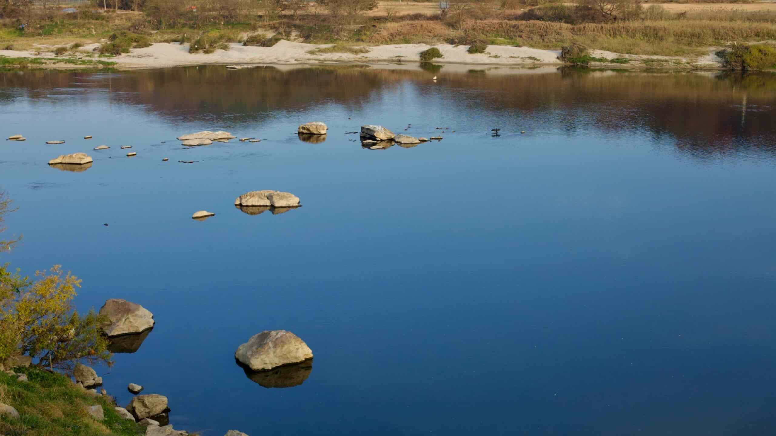
Head west along the river, passing farms and green spaces like the Hyundo Auto Camping Site (현도오토캠핑장; map), while spotting sandy islands dotting the waterway’s current.
After passing under Maepo Station (매포역; map), a closed rail stop on the Gyeongbu Line, enter Sejong City (세종특별자치시; map). This planned city was developed to replace Seoul as South Korea’s capital, which some officials considered too close to the DMZ.
In 2012, the federal government carved Sejong out of farmland and towns like Jochiwon, along with parts of Cheongju and Gongju. Today, it houses major ministries, including Economy, Education, Science, Interior, and Culture.
Although the capital relocation was later reversed, Sejong experienced a major transformation and population boom. The city now has nearly 395,000 residents and features attractions like Sejong Lake Park, the National Sejong Arboretum, and the wedge-shaped Sejong National Library.
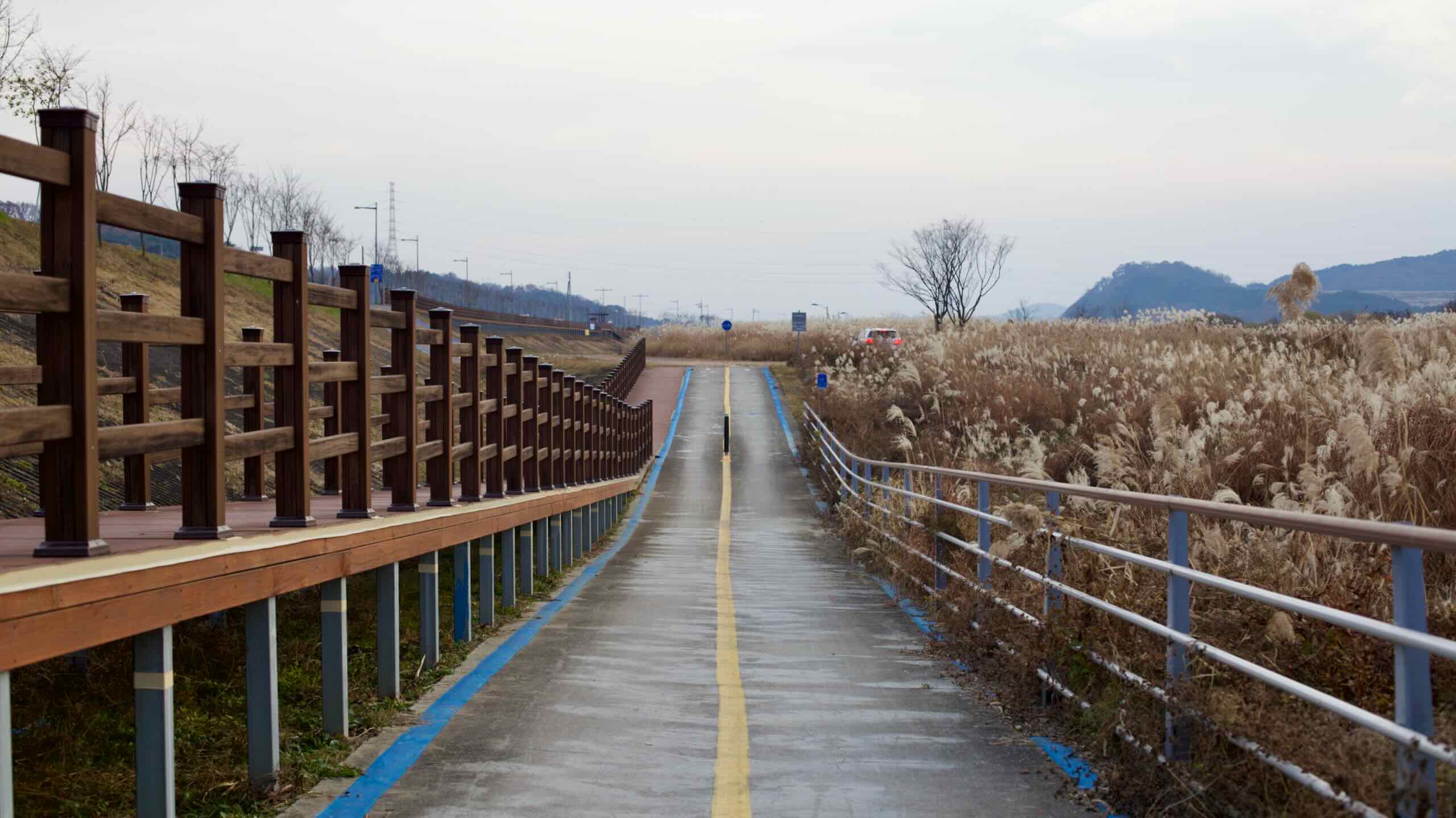
Continue tracing the winding Geum River past rural areas and Bugang Sports Park (부강생활체육공원; map).
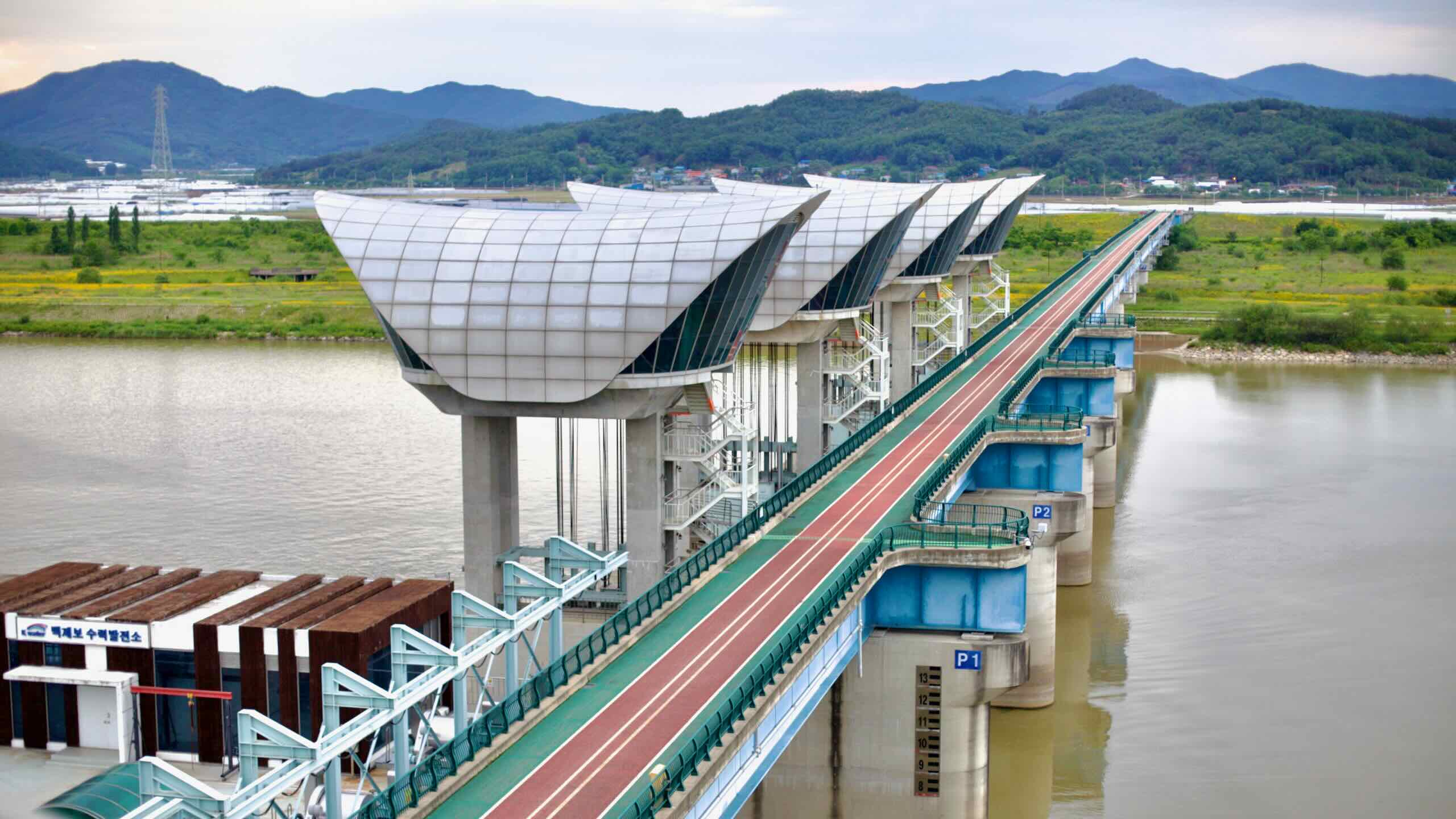
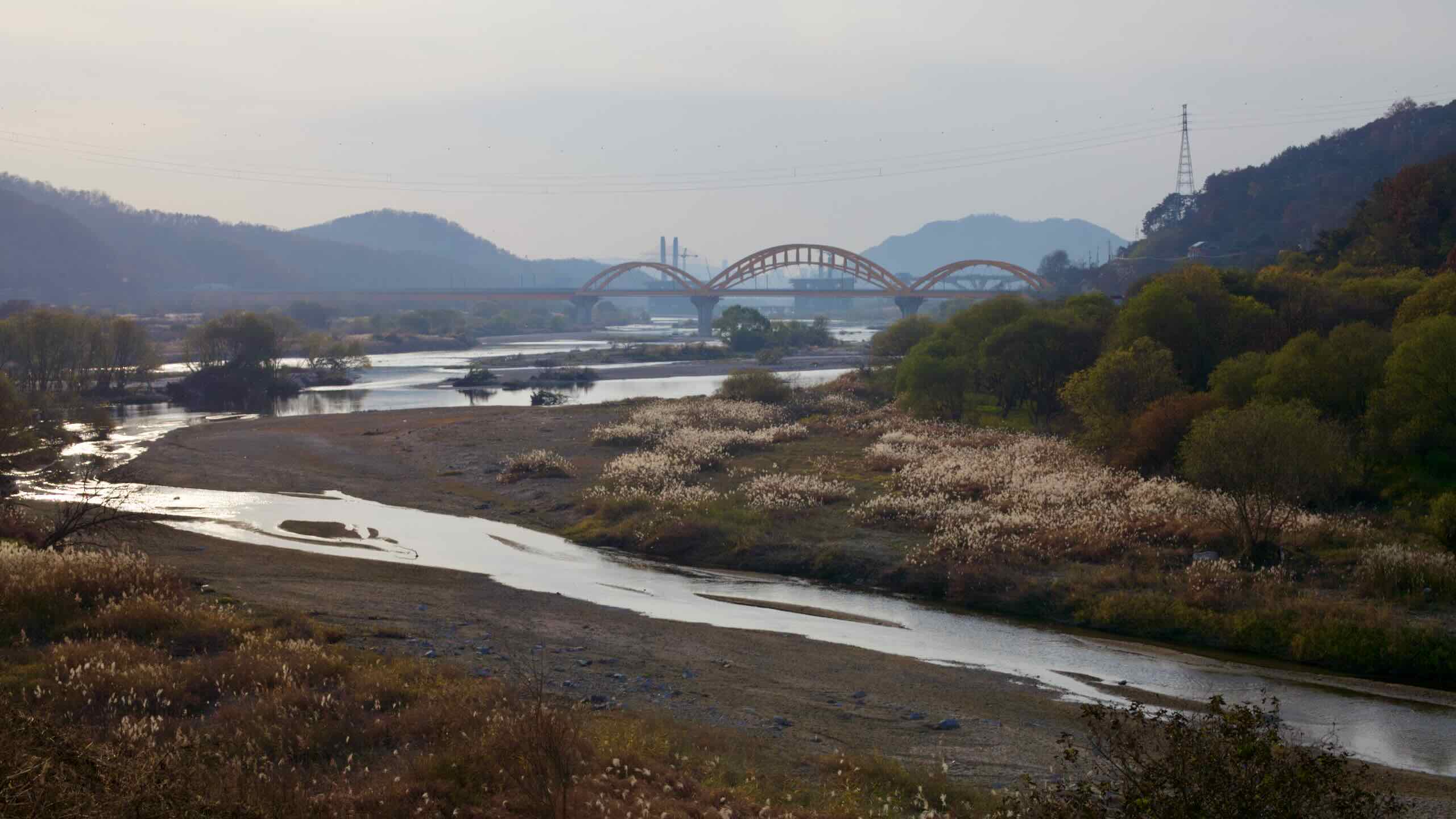
Near the end of this bucolic section, look for a trio of striking bridges:
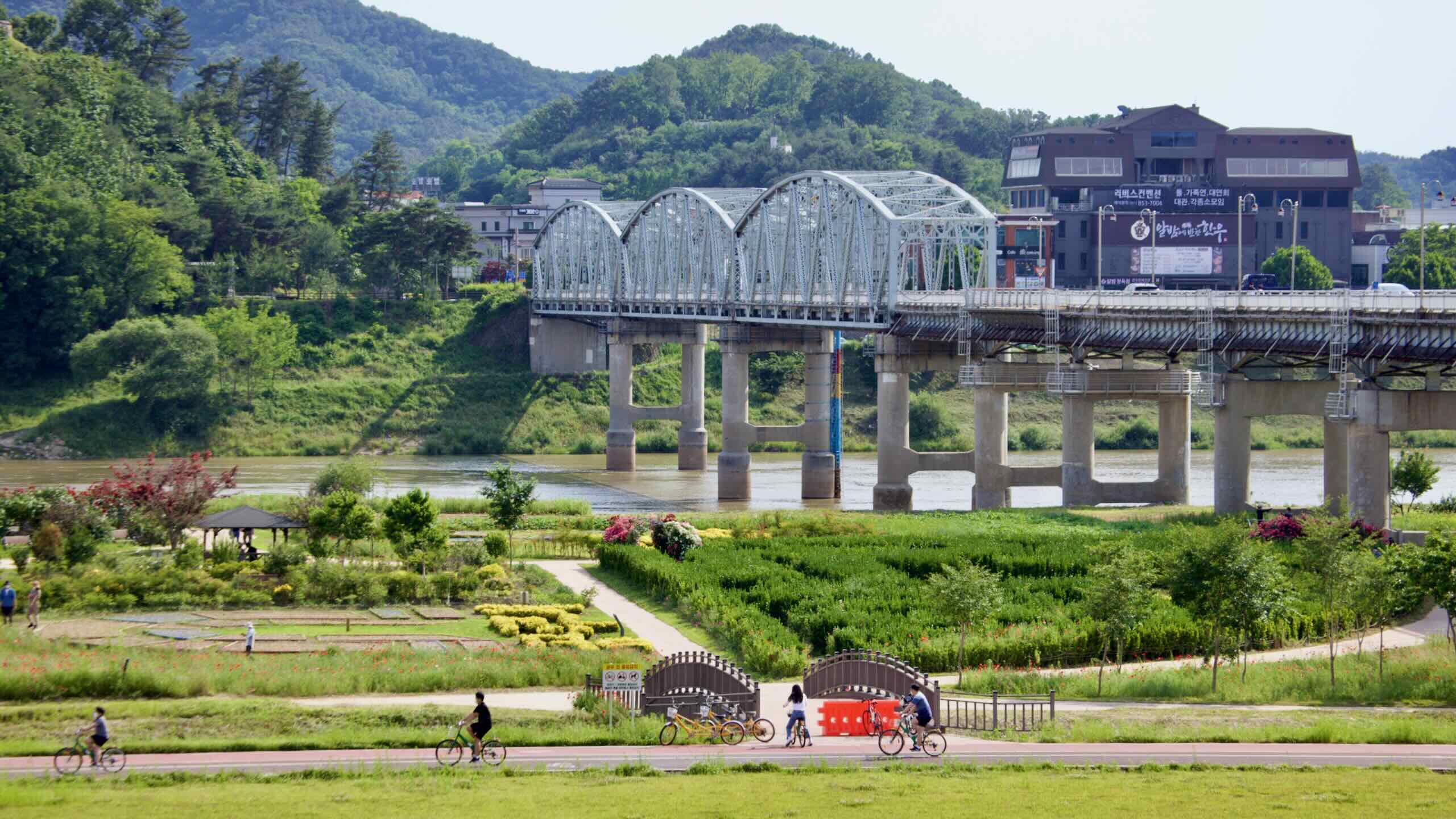
A red arch bridge on the Gyeongbu Railway Line (map)
Golden Sunset Bridge (금빛노을교; map), a 925-meter hybrid arch structure that leads into a rare two-level tunnel
Aramchan Bridge (아람찬교; map), an 840-meter cable-stayed span built in 2016 as part of Sejong’s urban development. Its twin suspension towers mimic hawk wings, reflecting the name “Aramchan.”
Hapgang Park is located at the confluence of the Geum River and Miho Stream Rivers in Sejong City. Known for camping and relaxation, the park’s name translates to “river junction.”
Hapgang Park is located near the Geum River and Miho Stream. This meeting of rivers forms expansive wetlands, creating habitats for a wide variety of flora and fauna, including migratory birds, fish, and native plants.
Hapgang Park was created by South Korea’s Four Rivers Restoration Project. Beginning in the early 2010s, the massive project built a series of weirs to control floods and retain water for farmers during droughts. It also created Korea’s long-distance cycling paths and numerous waterside parks, including Hapgang Park.