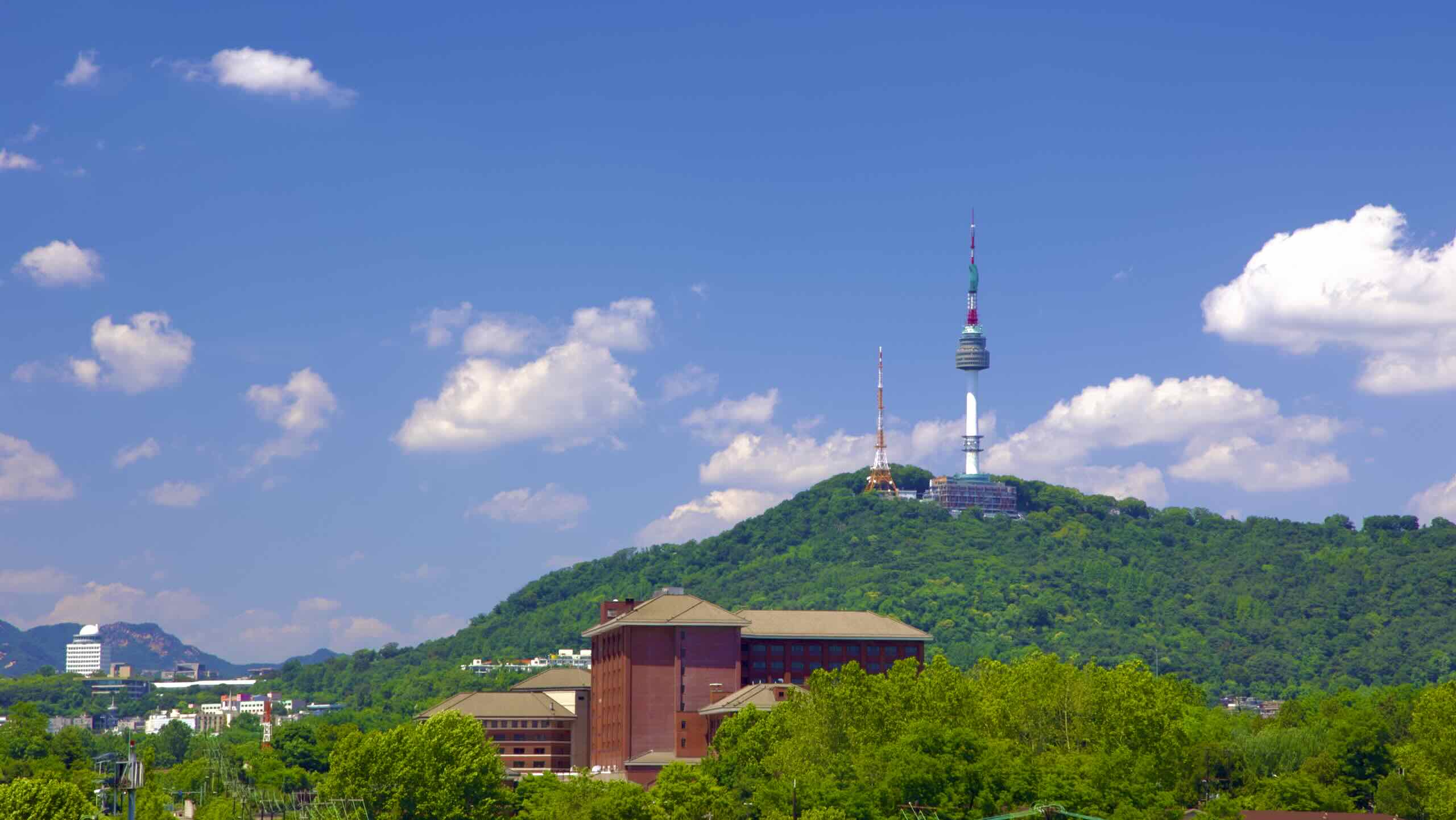


Namsan Seoul Tower

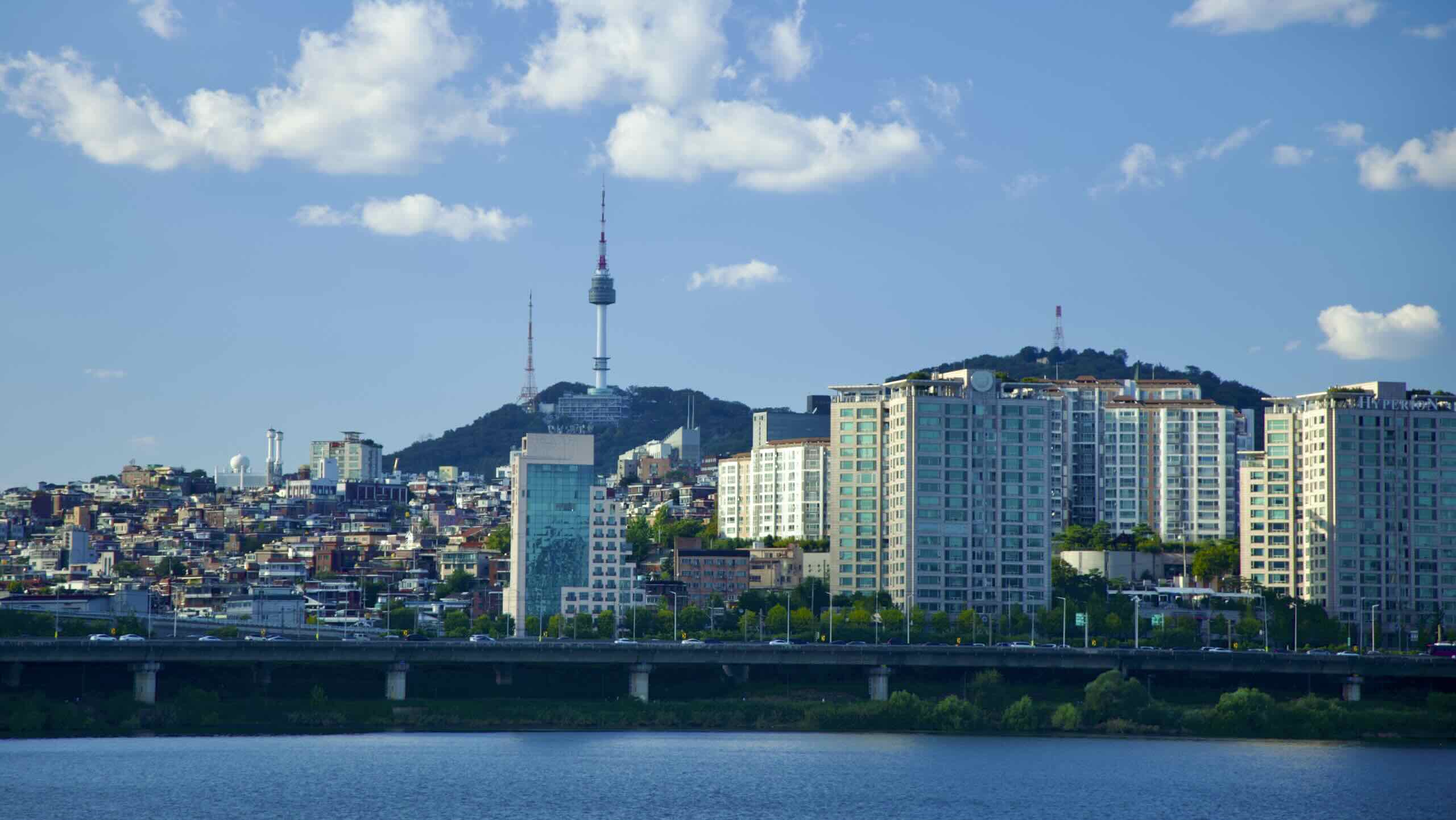
Namsan Seoul Tower (남산서울타워; map) rises 237 meters (777 ft). Factor in the height of Nam Mountain, its true height tops 480 meters (1,574 ft) above sea level.
Completed in 1975, the tower transmits radio and TV broadcast waves to Seoulites. Since 1980, Namsan Tower has been the nation’s most famous vantage point.
Daily thousands of travelers hike or ride the cable car up Nam Mountain, buy tickets, then ascend elevators to the tower’s observation decks. (The men’s room view is unparalleled.)
Nam Mountain

The Joseon Dynasty (1392~1897) settled its ancient capital in a “natural bowl,” between a northern, southern, eastern, and western mountain. Each peak provided defense against invading armies.
Nam Mountain (남산; map; Namsan) was the southern mountain. Its name means South (nam; 남) Mountain (san; 산).
While the mountain flows into the Jung district, its 271 meter peak (889 feet) crests in Yongsan.
Portions of the ancient fortress wall that protected Hanseong, the Joseon Dynasty’s capital, crawl up the mountain’s spine. Today, the stony boundary defines the border between Yongsan and Jung Districts.


