Seoul City icon

Nanji
Hangang Park

9.5 km (Seoul (North Side))
17%
Tour Nanji Hangang Park on the Han River Bike Path in Seoul.

Nanji Hangang Park (난지한강공원; map) dwells on Seoul’s western border on the Han RIver. Mountains of garbage once filled Nanji and the neighboring pyramid parks. In the early 2000s, an engineering feat transformed the region into a nature-rich paradise.

This is the first of five Hangang Park guides that profile the cycling paths on the north banks of the Han River in Seoul.

  1. Nanji Hangang Park
  2. Mangwon Hangang Park
  3. Ichon Hangang Park
  4. Ttukseom Hangang Park
  5. Guri City & Namyangju City

Let’s get the backstory first, then continue our cycle through Seoul.

Nanji Hangang Park Profile

A picture of the bike path in Nanji Hangang Park (난지한강공원) in Seoul, South Korea.
Four lanes in Nanji Hangang Park are for walkers, cyclists, and slower young cyclists in training.
  • Length: 3.1 km (11th of 11)
  • Area: 770,000 m² (6th of 11)
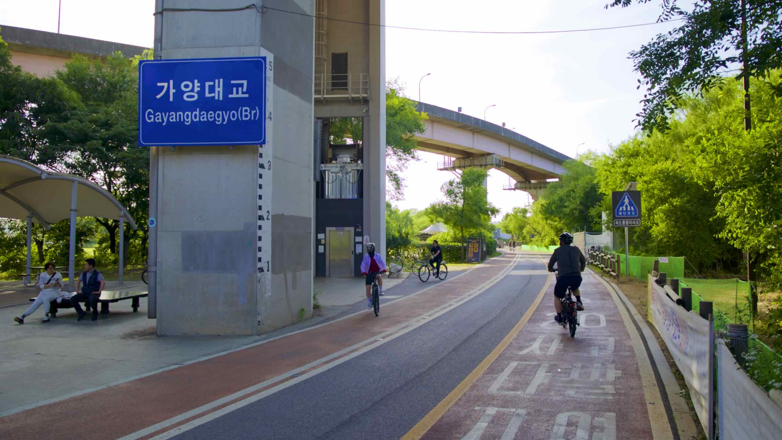
  • Start (West): Nanji Stream Bridge (난지천교; map)
  • End (East): Hongjae Stream Bridge (홍제천교; map)

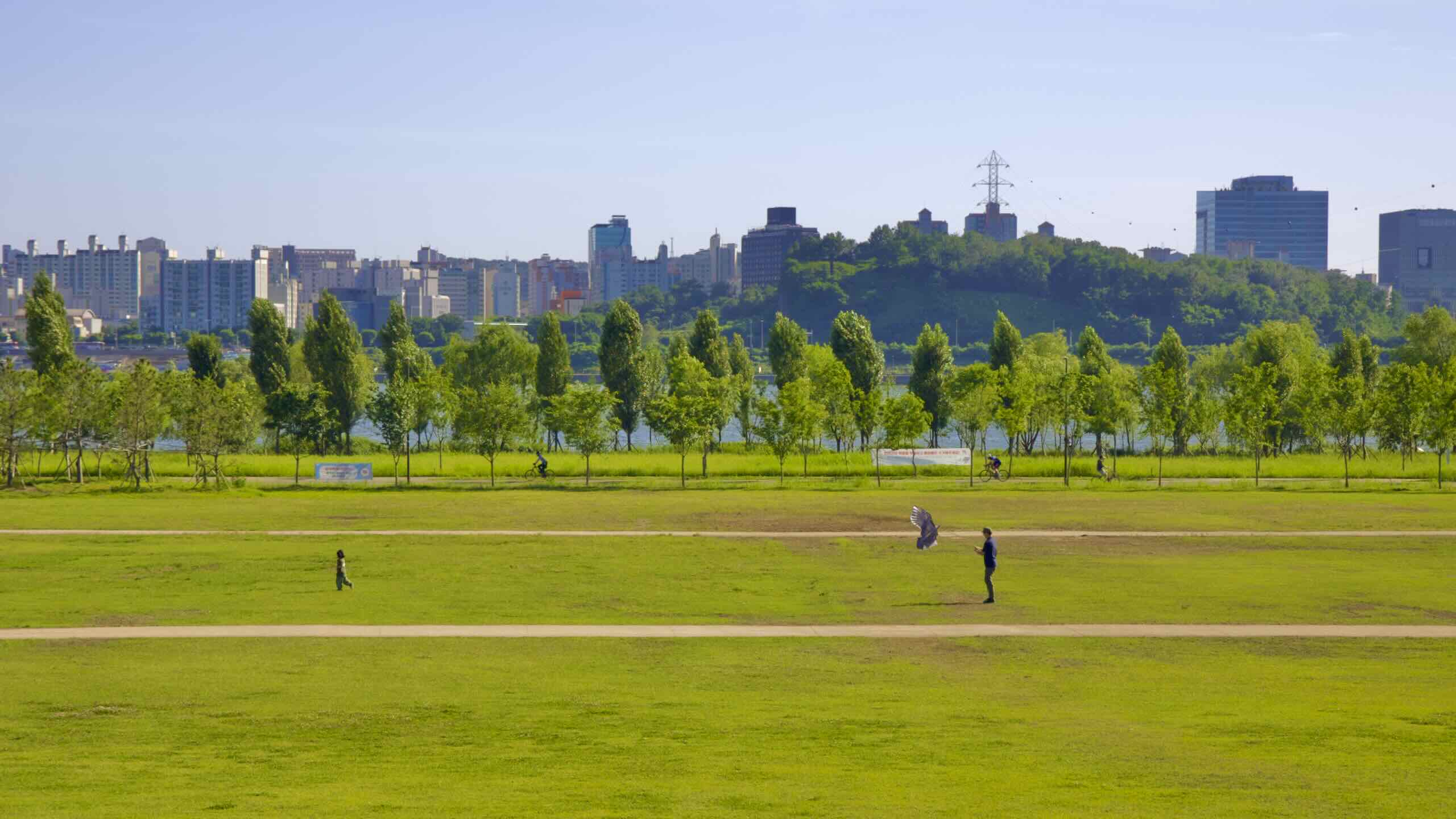
Nanji Hangang Park (난지한강공원; map) stretches across the Mapo District (마포구; map) on the north banks of the Han River in Seoul. 

Seoulites often group Nanji Hangang Park and World Cup Park together.

Why?

  1. They’re neighbors. Tunnels and bridges over the Gangbyeon Expressway let visitors seamlessly flow between them.
  2. The 2002 World Cup built both parks.

Nanji Island

Nanji Island lies in the Mapo District. During the Joseon Dynasty, the area sat west of Hanseong (한성), Korea’s ancient capital. It remained remote for hundreds of years, acting as a honeymoon spot filled with blooming orchids.

While it became a part of Seoul in 1949, it remained remote until later in the century.

A picture of an garbage incinerator between Haneul Park and Noeul Park in World Cup Park (월드컵공원), Seoul, South Korea.
Nanji Island hangs onto the north bank of the Han River in west Seoul. Once contained a mountain-sized landfill. Now it hosts green parks.

Boys Town

In the 1950s, destitute relatives gave Hwang Kwang-eun (황광은), a local pastor and Boy Scout leader, children orphaned by the Korean War (1950 ~ 53). Hwang established a community called Boys Town (보이스타운) on Nanji Island.

Seoul recognized the benefits of Nanji Island. It was remote, cut off from the mainland, like a prison. So it emptied its streets of delinquent youths and placed them on Nanji.

While Boys Town lasted just four years (1951 ~ 55), its young residents received schooling and a special “city-within-a-city” status by Seoul.

Its founder, Hwang Kwang-eun wrote a fictional short story about Nanji’s boys. Its main character, who grew up in Boys Town amid corrupt politicians, overcomes struggles to become mayor.

Landfill Mountain

After the Korean War, the nation transformed itself through a series of Five-Year Plans, which created increasingly complex industries. 

  • 1st Five-Year Plan (1962 ~ 66): build infrastructure and improve agriculture.
  • 2nd Five-Year Plan (1967 ~ 71): pivot to steel and petrochemical manufacturing.
  • 3rd Five-Year Plan (1972 ~ 76): grow electronics, machining, shipbuilding industries. Continue petrochemicals and advanced metals production.
  • 5th Five-Year Plan (1982 ~ 86): expand into consumer electronics (TVs & camcorders), semiconductors, and precision machinery.
  • 7th Five-Year Plan (1992 ~ 96): punch through into top-tech industries, including microelectronics, advanced chemicals, biotech, and aerospace.

All this progress created mountains of waste. Mountains.

Seoul and its satellite cities needed a place to put their trash. And in 1978, they chose Nanji Island.

At its peak, 3,000 garbage trucks emptied onto Nanji every day. This created two 90-meter-tall hills composed of 92 million tons of industrial, construction, and household waste.

Nanji became synonymous with filth. Korean mothers would say their children’s rooms “looked like Nanji.”

Nanji Dwellers

Nanji’s expansive landfills created a mini-society. Over 700 folks lived on Nanji Island, cohabitating with Seoul’s trash. They scavenged for materials, reselling what they could. And they used methane released from the decomposing heaps as cooking fuel.

Nanji residents operated a closed community. They built their own homes and kept outsiders off the island. Because they interacted little with city-dwellers, police didn’t intervene with the people on Nanji island. If death came, the garbage heaps would swallow the body.

Nanji Renewal

Two things happened in the 1990s.

  • The Nanji Landfill closed when it hit capacity in 1993. 
  • And in 1996, FIFA selected Korea and Japan to host the 2002 FIFA World Cup.

FIFA intended the games as an olive branch. Japan had occupied Korea and exploited its citizens just several decades earlier (1910 ~ 1945). Now they would jointly host the world’s premier sports event.

A picture of Haneul Park and Noeul Park in World Cup Park (월드컵공원) in Seoul, South Korea.
At one time, Nanji Island, where World Cup Park sits today, held 92-million tons of garbage.

But there was one side effect: competition. Korea knew that international TV cameras would give billions of at-home spectators a side-by-side comparison between itself and Japan. 

So, like the 1988 Olympics in Seoul, Korea needed to tidy up. But instead of hiding the twin mountains of rubbish on its borders, in 1997 Seoul’s higher-ups place Korea’s flagship Seoul World Cup Stadium (월드컵경기장; map) on Nanji Island.

To make the old landfill not only habitable but picturesque, workers wrapped the twin 90-meter garbage hills in thick lining to contain oozy, leaky sewage, and built a network of parks directly on top and around the side.

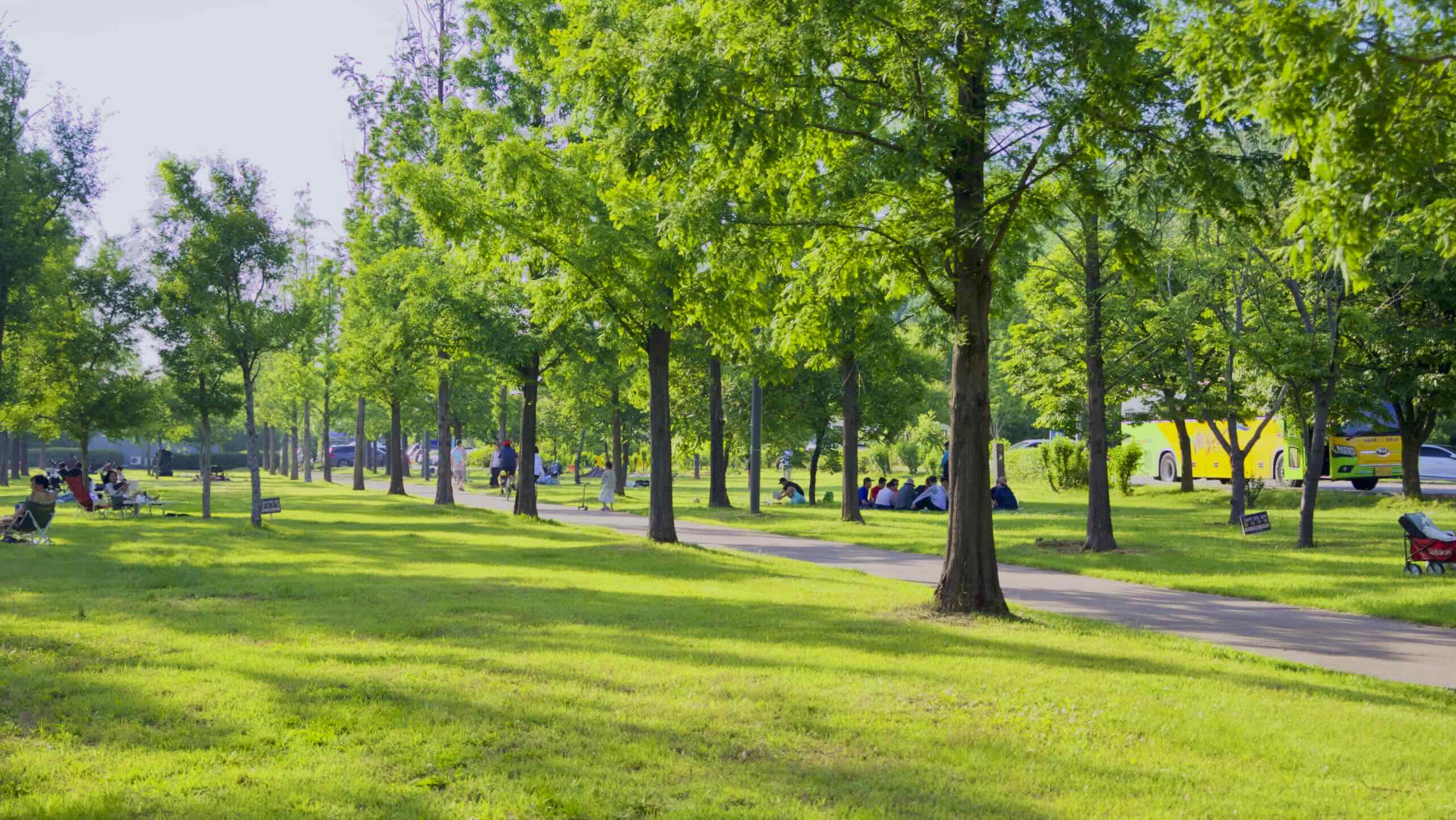
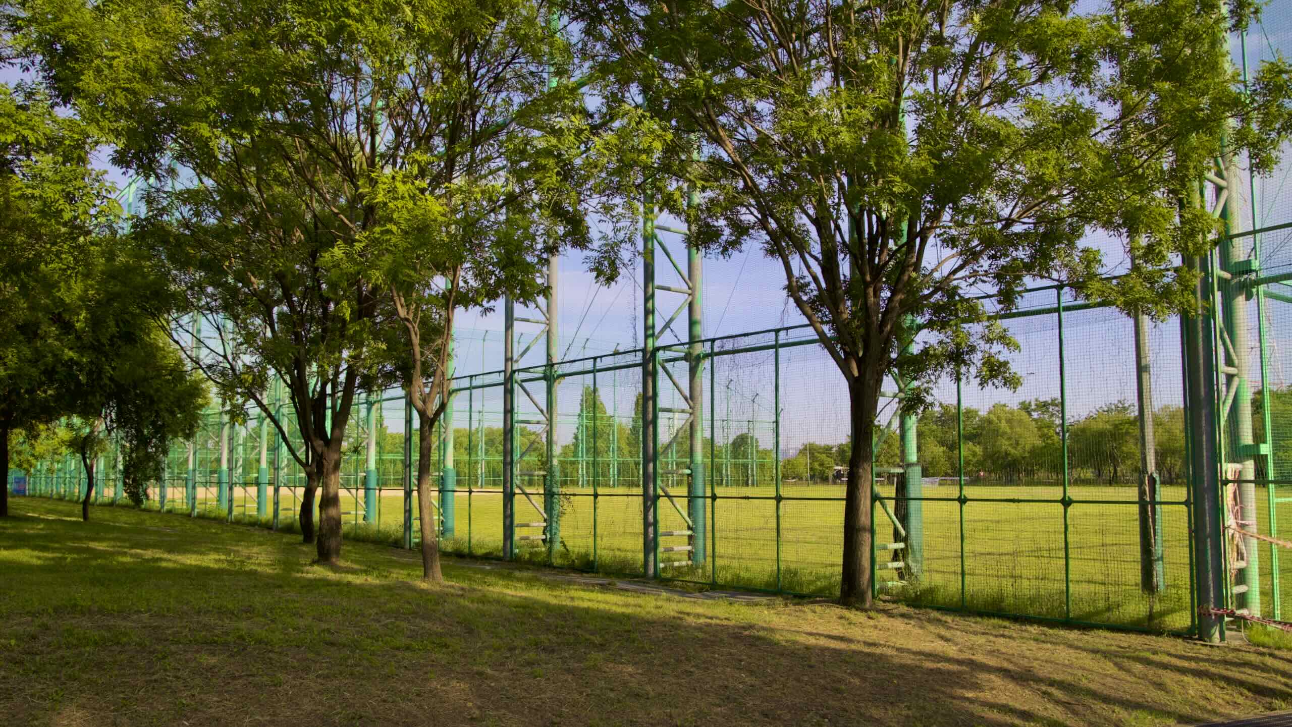
Known as World Cup Park, the old landfill now contains a 66,704-seat stadium used by FC Seoul, four parks filled with green lawns and dropping trees, and a waste incinerator powered by methane released from the buried treasure below.

Cycle Nanji Hangang Park

Enough with the backstory. Let’s ride!

A picture of a sign in Nanji Hangang Park (난지한강공원) in Seoul, South Korea.
A sign in the middle of Nanji Hangang Park welcomes you.

The First Bit

Let’s start the opening section of the Hangang Bike Path where the Ara Bicycle Path: next to the Ara Hangang Lock Certification Center (아라한강갑문 인증센터; map) on top of an embankment overlooking the South Side of Han River (road view).

I know. This is the North Side guide. You’ll need to tolerate a bit of the South Side bike path until the first crossing point.

Hop on your bike and roll off the embankment into Gangseo Hangang Park (강서한강공원; map). Roll past reeds and wetlands and come to Haengju Bridge a kilometer down the path (directions).

Haengju Bridge

Haengju Bridge (행주대교; map) is the first of twenty-two bridges in Seoul that allow walkers and cyclists to cross between Gangbuk (북강; “North River”) and Gangnam (강남; “South River”).

Zoom under the bridge to its east side and find a fork in the bike path (road view).

  • Turn right to use Haengju Bridge to cross to the North Side bike path.
  • Veer left to stay in Gangseo Hangang Park on the South Side bike path.
A picture of Nanji Eco Park and Banghwa Bridge (방화대교) in Seoul, South Korea.
Nanji Hangang Park keeps two eco parks that bound down the north banks of the Han River in Seoul.

Turn right! This is the North Side guide.

Under the bridge, find a second fork (road view).

  • The right fork uses the bridge’s west sidewalk
  • The left fork uses the bridge’s east sidewalk.

Take the left form and up a ramp to Haengju Bridge’s main deck.

Goyang City

3.1 km (Seoul (North Side))
6%

Say hello to Gangbuk and goodbye to Seoul! Halfway down Haengju Bridge, exit the capital’s borders and enter Goyang City.

Goyang City Profile

Goyang City (고양시; map) is a Seoul satellite town. It holds over a million folks and covers 267 square kilometers (103 sq mi) just west of the megacity.

One of Seoul’s larger bed towns, Goyang sports newborn highrises and Seoul’s population spillover. Landmarks include:

Haengjusan Fortress

Stop! Halfway down Haengju Bridge, glance at the Han River’s north banks. Notice Deokyang Mountain (덕양산; map), that green hill looming over the waters (road view). On top of it rests Haengjusan Fortress (행주산성; map).

Built by the Kingdom of Baekje (18 BCE ~ 660 CE), succeeding Goryeo (918 ~ 1392) and Joseon (1392 ~ 1897) kingdoms rebuilt and reused Haengjusan Fortress to defend the region.

The Great Battle of Haengju (행주대첩) was the fortress’s defining moment during Japan’s invasions of Korea (1592 ~ 1598).

About 30,000 Japanese surrounded 3,000 Koreans inside Haengju’s wooden stockades. But because of the narrow entryway, Japan attacked in waves.

  1. First, Japan attacked with a siege tower. Nope.
  2. The second wave broke through the walls. But Korea injured Japan’s commander. Retreat!
  3. Finally, Japan seared a hole in the fortress’s wooden walls. But volleys of Korean arrows and rockets (화차) held Japan’s advance long enough for reinforcements to arrive.

Visit Haengjusan Fortress today and you’ll find a 15-meter monument to the Korean soldiers’ bravery and remarkable victory (road view).

City Jambalaya

Cycle to the end of Haengju Bridge and land in Goyang City.

Deokyang Mountain, where Haengjusan Fortress stands, intrudes on the North Side bike path’s opening section, creating a maze of turns to make and bridges to cross.

My tip? Follow blue bike signs and lines and these directions.

  • From Haengju Bridge, follow a white dotted line onto a sideroad (road view).
  • Pedal under a highway overpass (road view).
  • Ride along a stream, then hop over it and across a four-lane street (road view).
  • Cycle along the street back to the Han River (road view).

The street’s sidewalk morphs into a bike-only path, dips under an expressway, and comes to Changnyeong Stream (창릉천; map).

Jump the stream and come to a T-intersection.

Turn right. Slide below floating on-ramps until you spill into Goyang Daedeok Ecological Park.

Goyang Daedeok Ecological Park

Goyang Daedeok Ecological Park (고양대덕생태공원; map) marks your first riverside park along the northern banks of the Han.

Like the Hangang Parks in Seoul, Goyang’s eco park’s 810,000 square meters protects and restores riverside ecosystems destroyed by Korea’s rapid economic ascension.

Goyang Daedeok Ecological Park’s unfurls between the Han River and Gangbyeon Expressway (강변북로; map). Like Olympic Boulevard on the river’s South Side, Gangbyeon Expressway tracks the Han River and North Side bike path from start to finish.

Cycle Goyang Daedeok Ecological Park beside the Han River along a winding cycling path. Pass silver-hair reeds and drooping willow trees (aerial view; directions).

After 4 kilometers, arrive at a short pedestrian bridge that crosses Nanji Stream (난지천; map; road view). Ride over it.

Welcome back to Seoul. Say hello to Nanji Hangang Park!

Nanji Ecological Wetland

The ecological paradise doesn’t stop when Goyang’s eco park ends.

The west end of Nanji Hangang Park hosts the Nanji Ecological Wetland Garden (난지생태습지원; map). The garden provides a thriving habitat for hundreds of plants and animals, including water hyacinths and reeds, herons, stink bugs, racoons, frogs, crabs, and more. 

Cycle under Gayang Bridge (가양대교; map; an excellent crossing point) and through a net of pathside green.

Midway down, find a glass-faced nature center. Opposite it hangs the entrance to the eco park’s boggy section. It sports a raised wooden walkway that loops around a marshy wetland, protecting it from the invasive Homo sapien species.

Nanji’s Middle

Continue up the Han River through Nanji Hangang Park. Pop out of the wetlands into fields of green interspersed with shady trees.

Nanji Camping Site

Swoop around the gated Nanji Camping Site (난지캠핑장; map), a popular Nanji Hangang Park feature.

The 27,000-square-meter campsite holds 124 plots that include sites for pop-up tents, a lawn for “free camping,” and all-season glamping tents with beds and electrical outlets.

Seoul has other campsites along the Han River. But Nanji’s campsite is the only to offer reservable barbecue pits (picture) and campfire spots (picture).

In the campsite’s parking lot, find the Hangang Wildlife Exploration Center (한강야생탐사센터; map) and its rooftop observatory.

Youth Plaza

Ride on past baseball fields and into an expanse of green lawns. Known as Youth Plaza (젊음의광장; map), this section marks the middle of Nanji Hangang Park (road view).

When warm, Youth Plaza hosts picnicking families, kite-flying fathers and daughters, and a variety of events, like concerts and festivals.

Roll to the middle of Youth Plaza. Spot a sign that reads “Nanji Hangang Park.” In the distance, peep two pyramid-shaped hills with an incinerator’s chimney popping out between them.

Have time for an adventurous detour?

Ride through Youth Plaza and hop over Gangbyeon Expressway on the Central Connection Bridge (중앙연결 브릿지; map). Arrive at World Cup Park, a Hangang Bike Path highlight.

11.3 km (Seoul (North Side))
20%

Seoul built World Cup Park (월드컵공원; map), the largest in Seoul, for the 2002 FIFA World Cup. It includes four parks built on Nanji Island, which grew two 90-meter mountains of garbage between 1978 and 1993.

Garbage mountains? Where?

Glance at the pair of pyramid-shaped hills looming over Nanji Hangang Park. Known as Noeul (Sunset) Park and Haneul (Sky) Park, these artificial mounds sit directly on top of 92-million tons of trash (aerial view).

Don’t worry! Sanitation experts sealed the hill-top parks tight and dropped an incineration plant between them. The plant uses methane bubbling up from below to burn Seoul’s never ending flow of trash.

Nanji’s End

Let’s cycle to the end of Nanji Hangang Park.

Pedal down the bike path and notice four lanes.

  • One walking lane.
  • Two cycling lanes.
  • And a wide lane labeled “저속자전거구간,” or “Low-speed Bicycle Section.” A safe space for kids and families to ride.

The next area of Nanji features a wealth of park facilities. On your left: a BMX course, a skate park and children’s bike practice zone. On your right: a shallow, riverside pool (road view).

Other Hangang Parks have larger swimming pools. But Nanji’s pool comes with a fountain (물놀이장분수; map). In the summer’s high-heat, jets installed in the pool’s retaining wall spray water over swimmers.

World Cup Bridge

A picture of a sculpture in Nanji Hangang Park (난지한강공원) in Seoul, South Korea.
Green lawns, protected eco zones, and sculptures decorate Nanji Hangang Park in western Seoul.

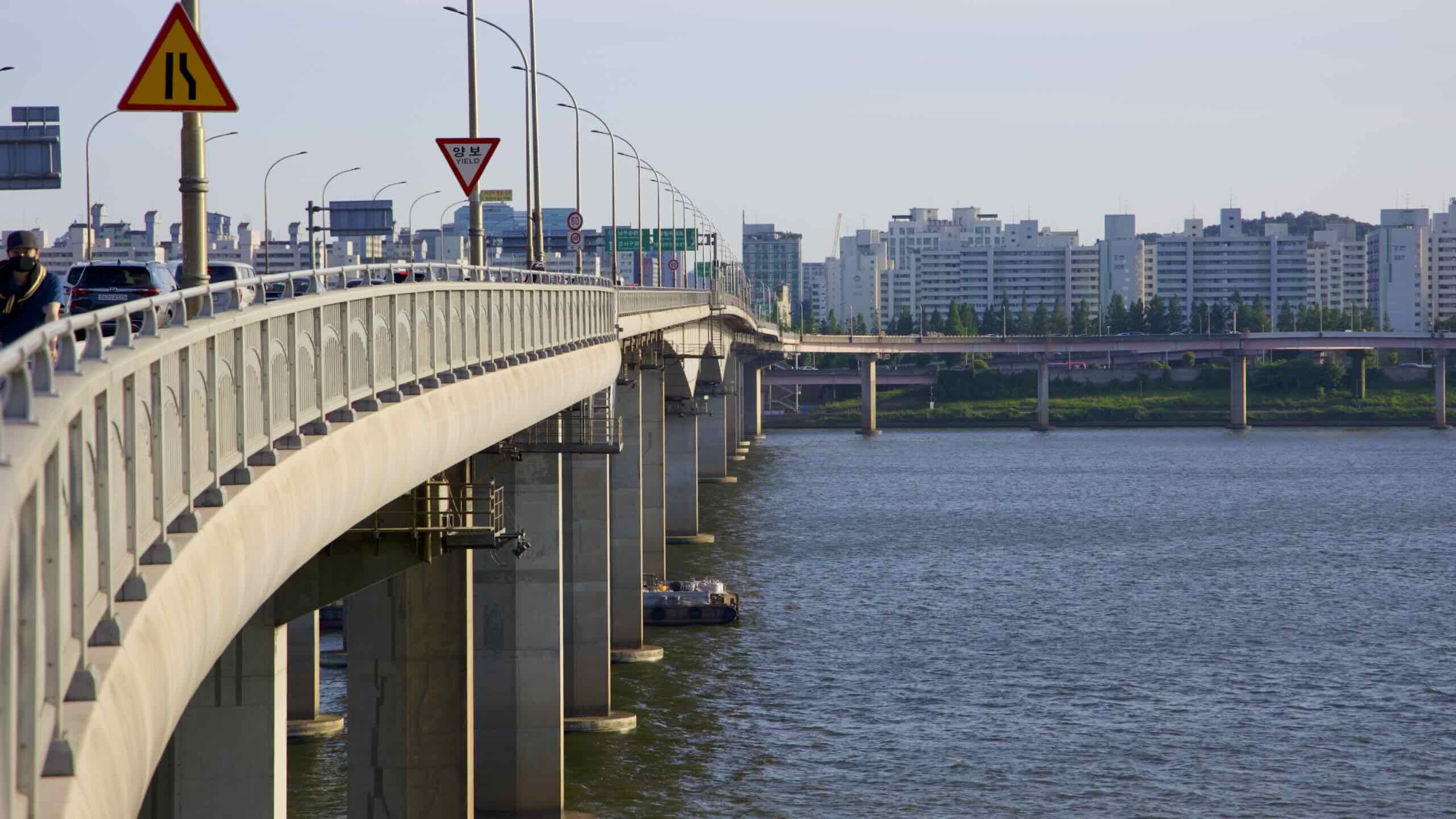
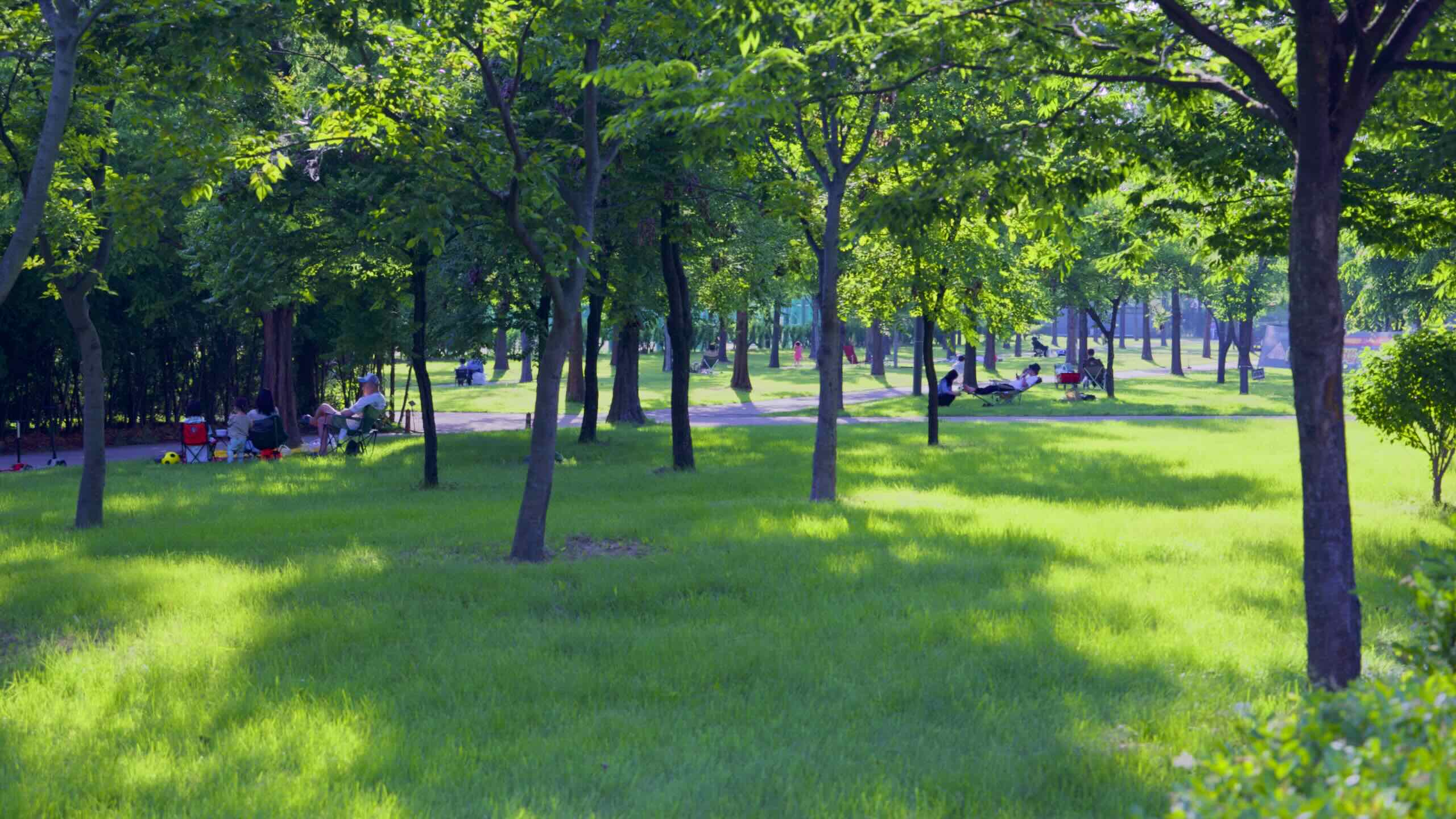
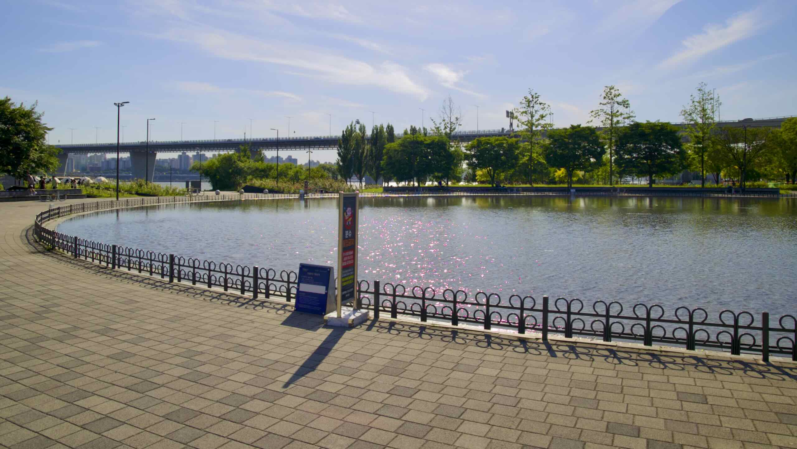
Continue past sweeping lawns. Find an open-air library, floating cafe (물결 한강; map), and a swirl of overhead ramps leading to World Cup Bridge (월드컵대교; map; impossible to cross).

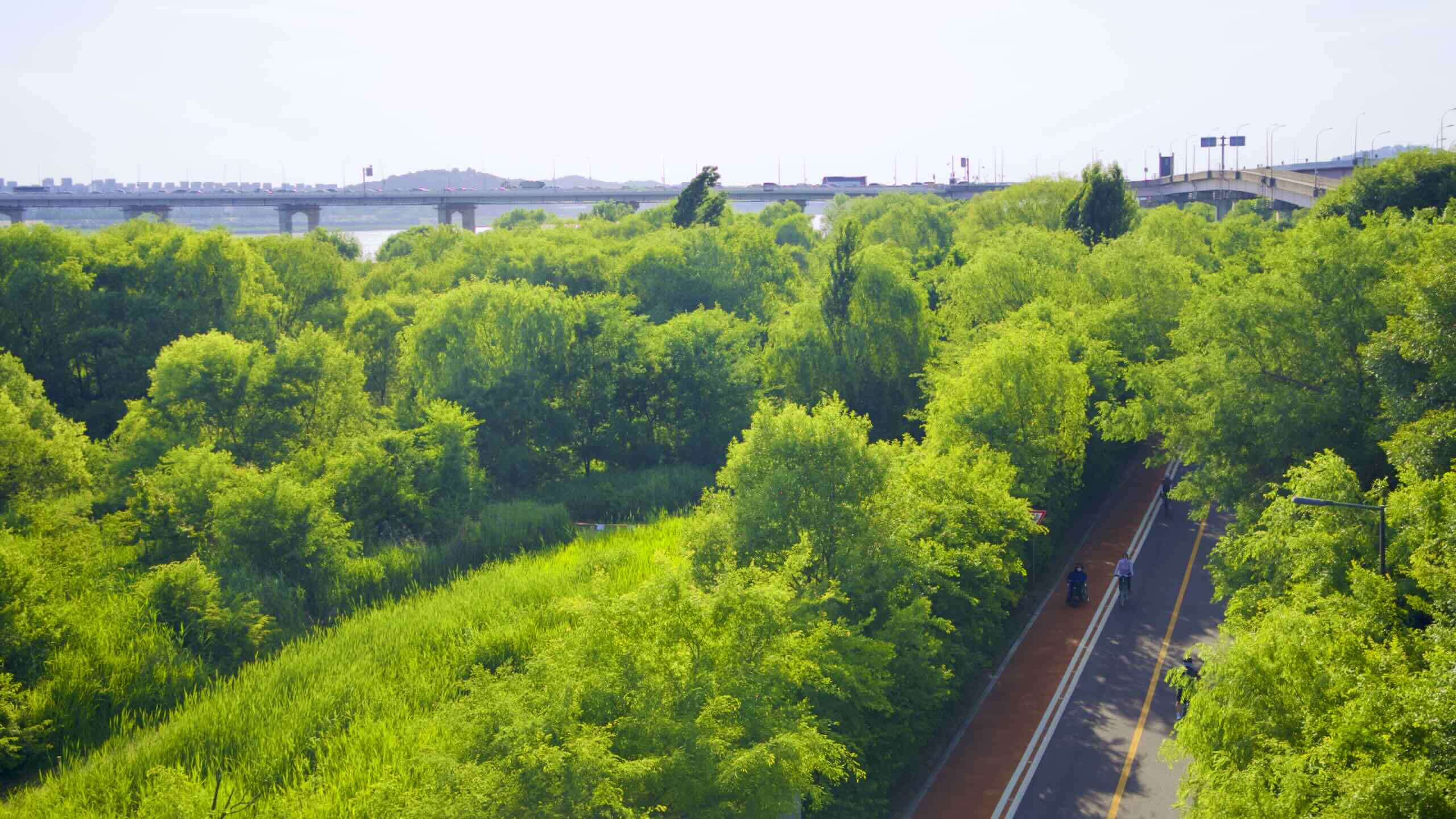
World Cup Bridge bears the name of the 2002 FIFA World Cup and lands at the foot of Seoul World Cup Stadium. But construction on the bridge began in 2010. Because of political changeovers and budget cuts, the marble-white, cable-stayed bridge didn’t open until 2021. Its 11-year construction period is the longest for any bridge in Korea.

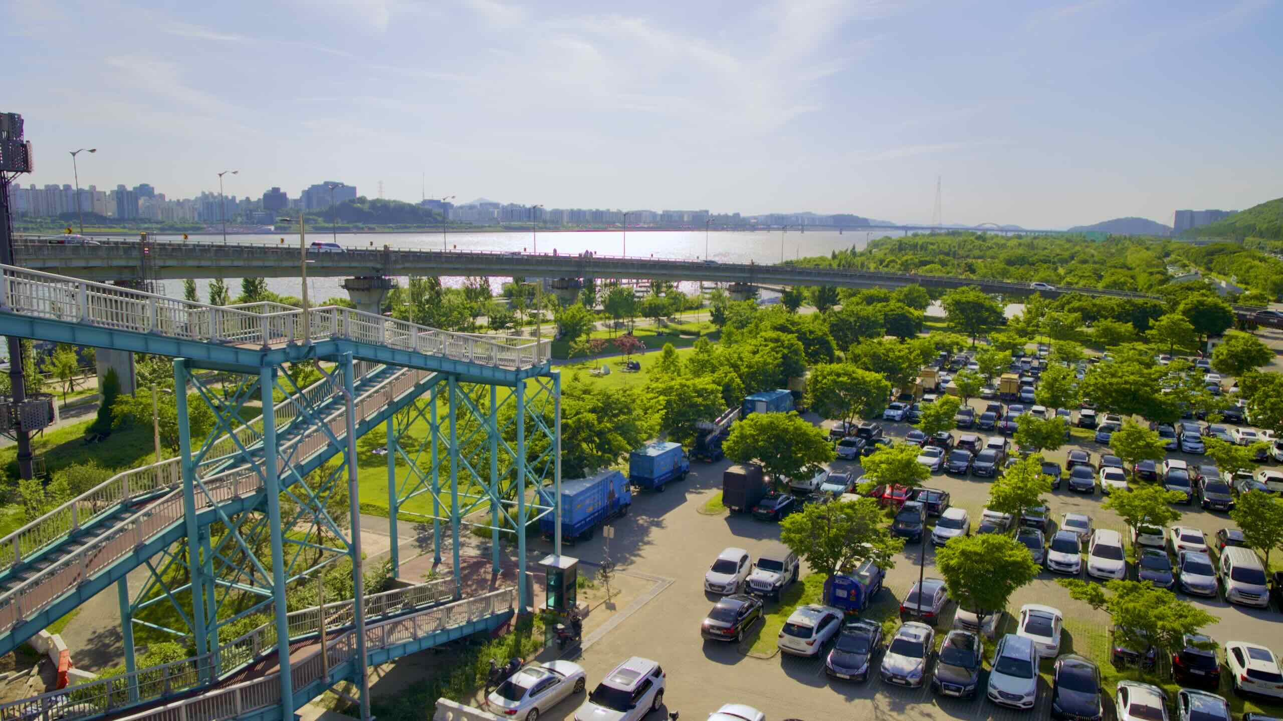
World Cup Bridge is impossible to cross for cyclists and pedestrians. But it holds two staircases that lead to Jeungsan Road (증산로; map) and a high-angle view of Nanji Hangang Park, World Cup Park, and the Han River.

Nanji Mirror Fountain

Duck under World Cup Bridge and discover a courtyard with a 60-meter wide, fenced-in circle. In winter, the circle sits dry, ready for kids getting out their zoomies. In summer, the depression fills with water and transforms into Nanji Mirror Fountain (거울분수; map).

Most of the day, Nanji Mirror Fountain is a 3 centimeter deep reflecting pool. But after 12 PM, at designated times, jets break the calm, reflecting waters and create a 20-minute, 30-meter tall water show accompanied by pop songs or OST. At night, embedded lights add color.

From Nanji Mirror Fountain, ride a winding a couple hundred meters and meet Hongjae Stream (홍제천; map) and Hongjae Stream Bridge (홍제천교; map; road view).

A T-intersection sits before the bridge.

Stay straight! Cross Hongjae Stream Bridge and enter Mangwon Hangang Park.