Tour Ttukseom Hangang Park on the Han River Bike Path in Seoul.
29.2 km (Seoul (North Side))
52%
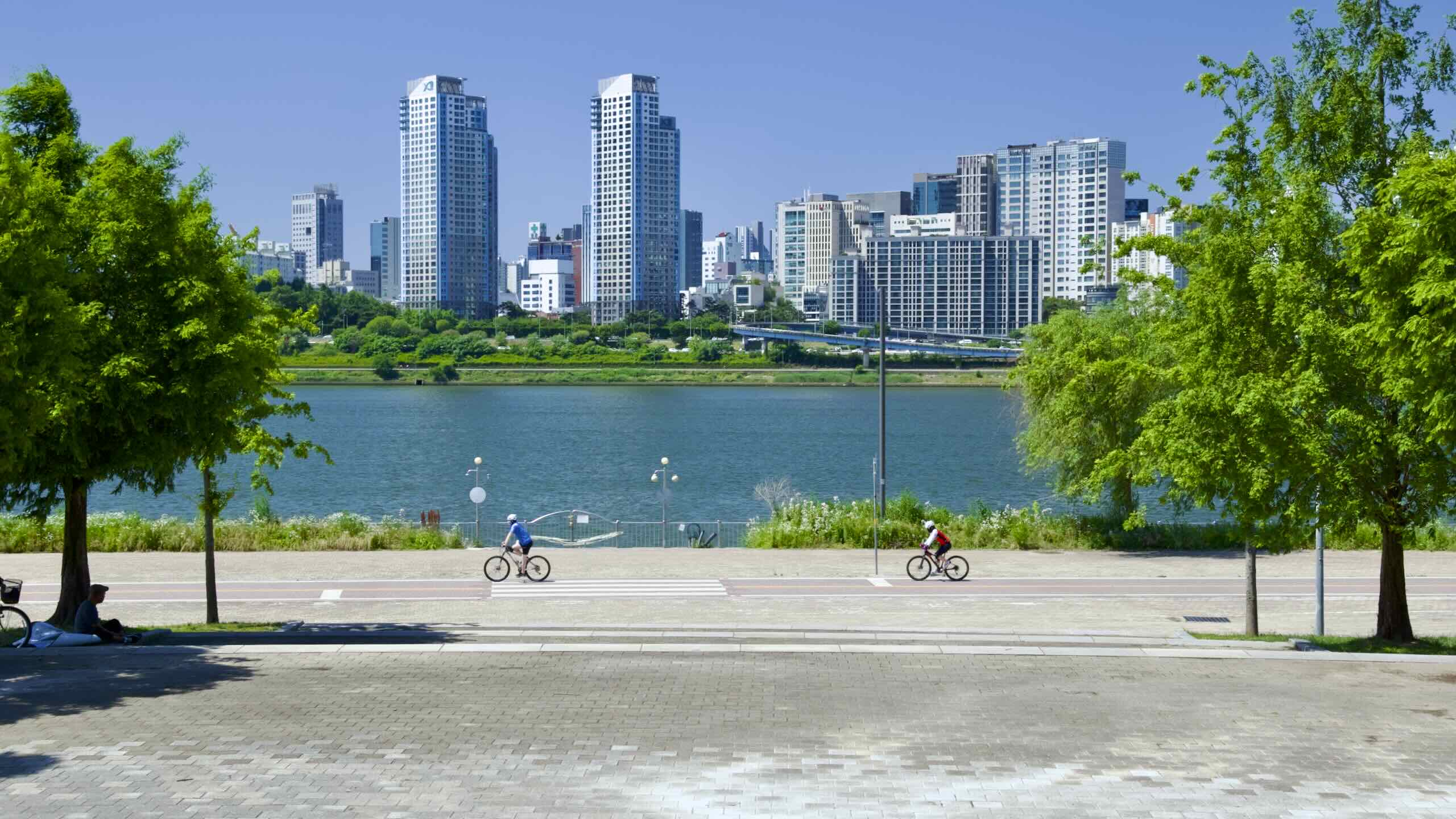
Ttukseom Hangang Park (뚝섬한강공원; map) is the easternmost park on the Han’s north side. In its past, it was a hunting island for royalty, then a summer retreat for common folk. Today, Ttukseom holds a myriad of rec facilities and a bug-inspired building.
Ttukseom Hangang Park occupies a swath known as Ttukseom in eastern Seoul on the Han River. For centuries, Ttukseom was known for sun and sport. It was where:
But Ttukseom was never an island. For most of its days, water didn’t separate the area from mainland Seoul. But when the rain poured it flooded the Han River and Jungnang Stream (중랑천; map) on its western border, creating a moat and transforming Ttukseom into an island.
In the 20th century engineers built weirs and dredged the Han, taming the once tempestuous waterway. Now Ttuk Island lives no more.
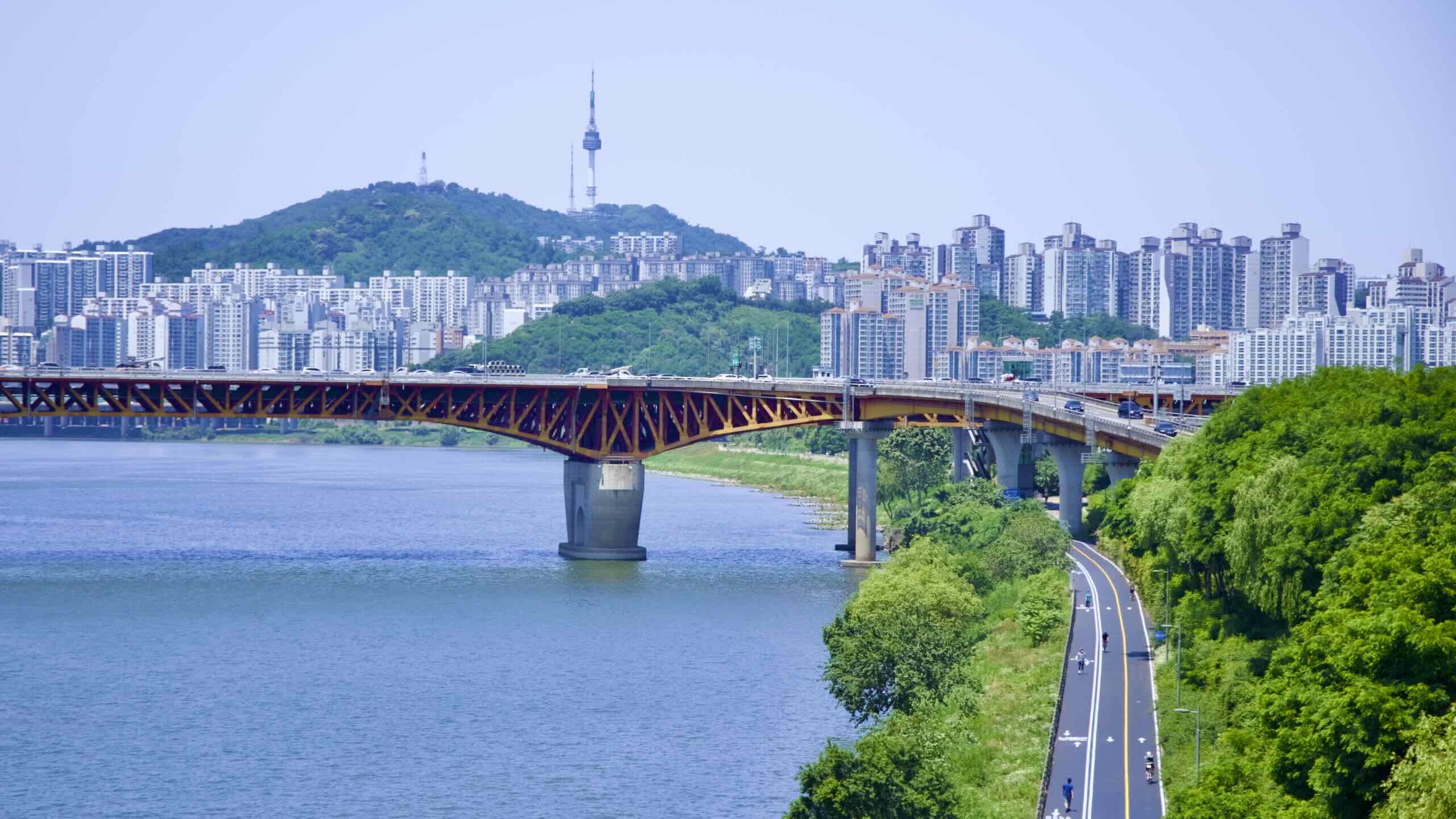
Namsan Mountain rises over the western section of Ttukseom Hangang Park in Seoul.
Whenever he ventured onto Ttukseom, royal guards unfurled a flag /dōkdō/ (독도) with bore an ox and pheasant tails. Overtime the pronunciation shifted to “Ttuk” (뚝). Hence, “Ttukseom.”
Later, Joseon kings used Ttukseom’s clear waters and panoramic backdrop to muster and inspect troops.
Ttukseom Port
Hanseong (한성) — Joseon’s old capital and today’s Jongno and Jung Districts — attracted dozens of ancient river ports to this section of the Han River. These ports stored and sold off goods flowing from upriver settlements.
Ttukseom, just 5 kilometers east of the ancient capital, sported Ttukseom Port. Besides its grain silo, the port specialized in timber from Gangwon Province (강원도; map). Tax officials often visited the lucrative port to collect the king’s due.
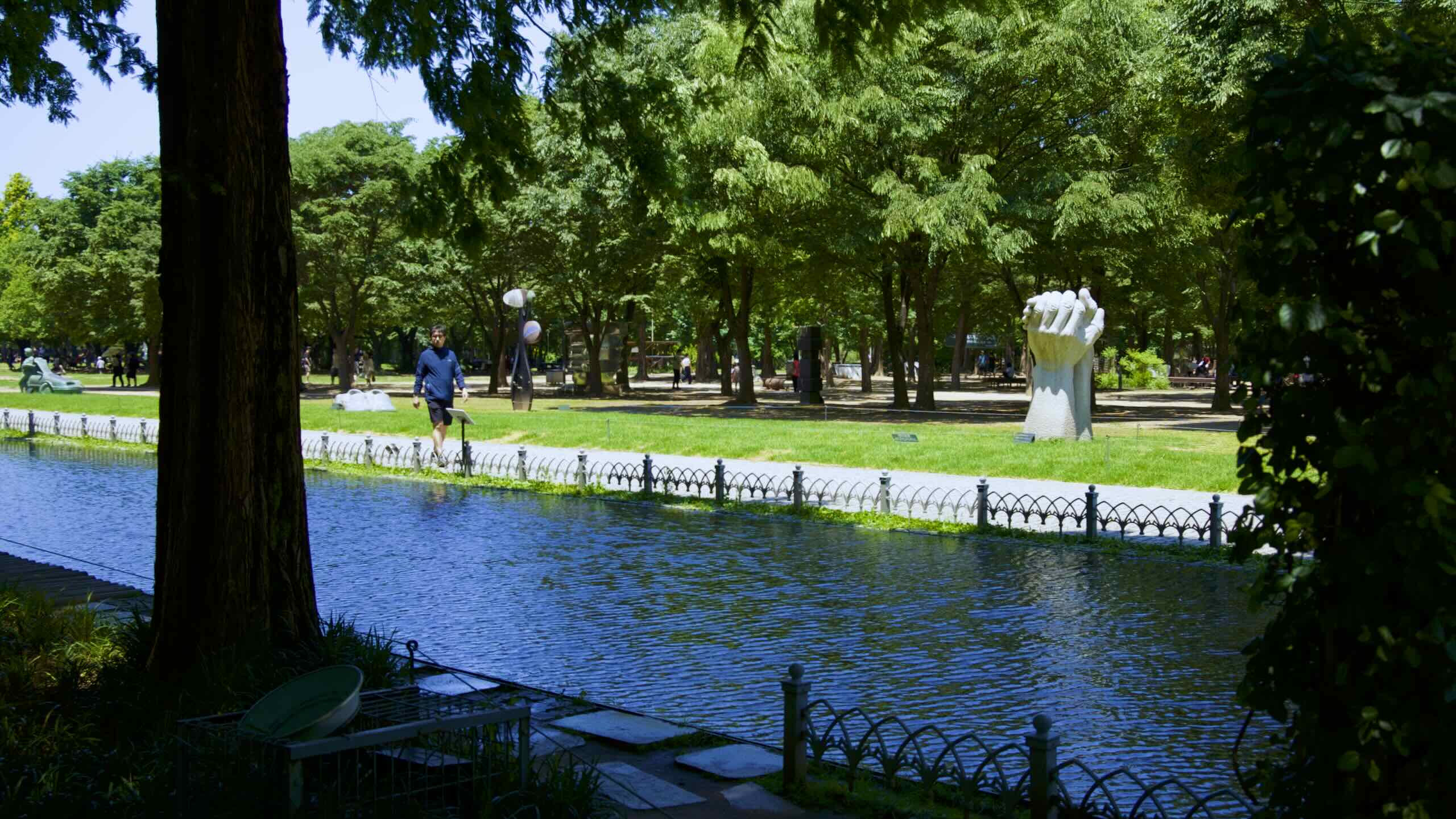
Today, Seoul Forest hosts an abundance of trees, flowers, and sculptures. But the land where it sits holds a deep history.
Seoul Forest sat outside the fortress walls of Hanseong, the capital of the Joseon Dynasty (1392~1897). Kings used the area as the hunting grounds and military training fields.
The area held Seoul’s first water treatment facility (수도박물관; map). Completed in 1908, the plant purified water for 165,000 Seoul residents; about 32% of the population. Its main building still sits in Seoul Forest.
From 1954 to 1989, the city’s first horse racetrack sat here. It included a small golf course in the infield. You can see racehorse statues in the park’s entrance plaza.
Planners divided Seoul Forest into five sections. Each sports unique characteristics.
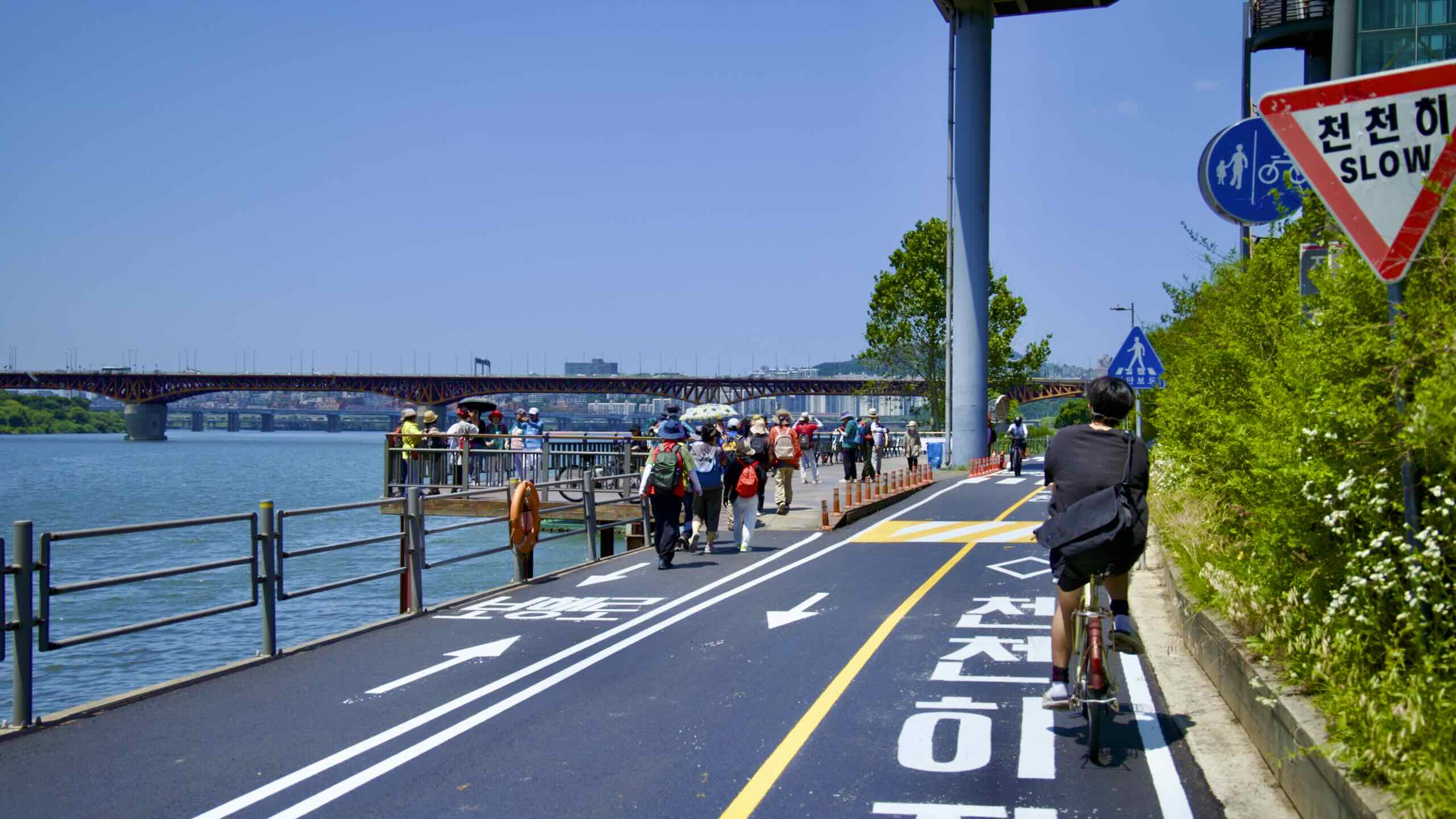
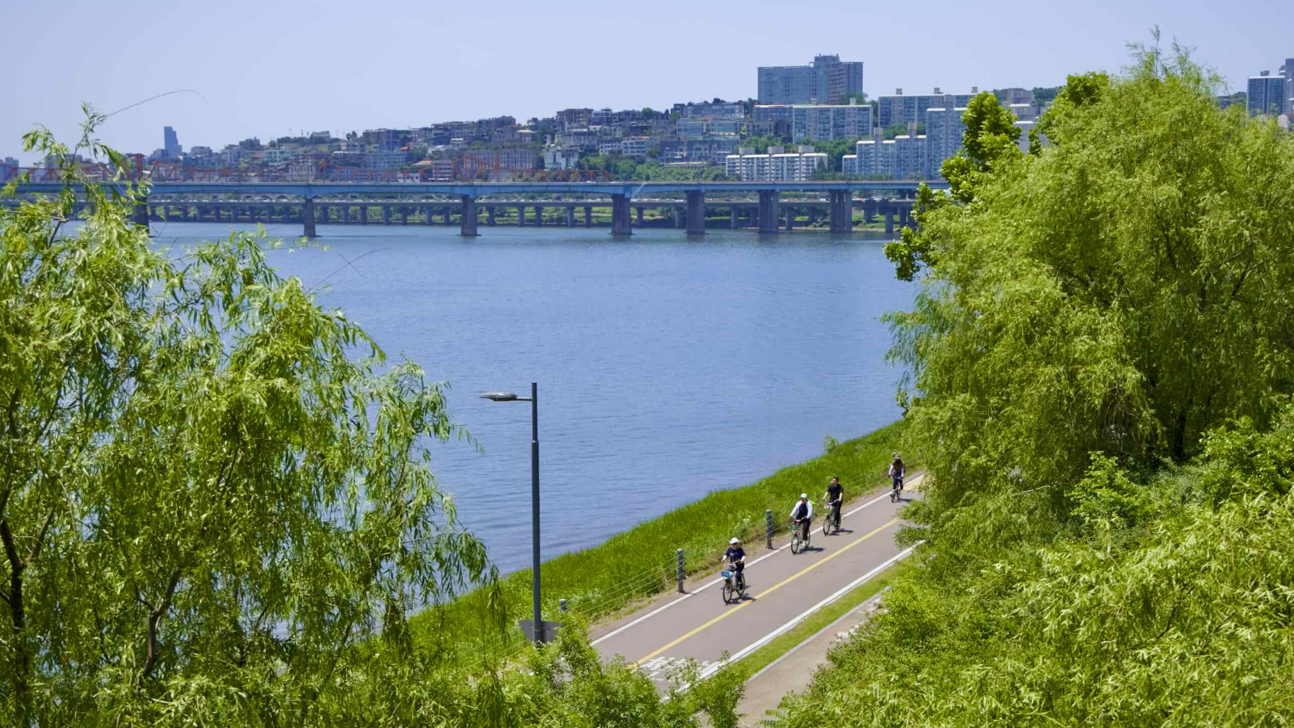
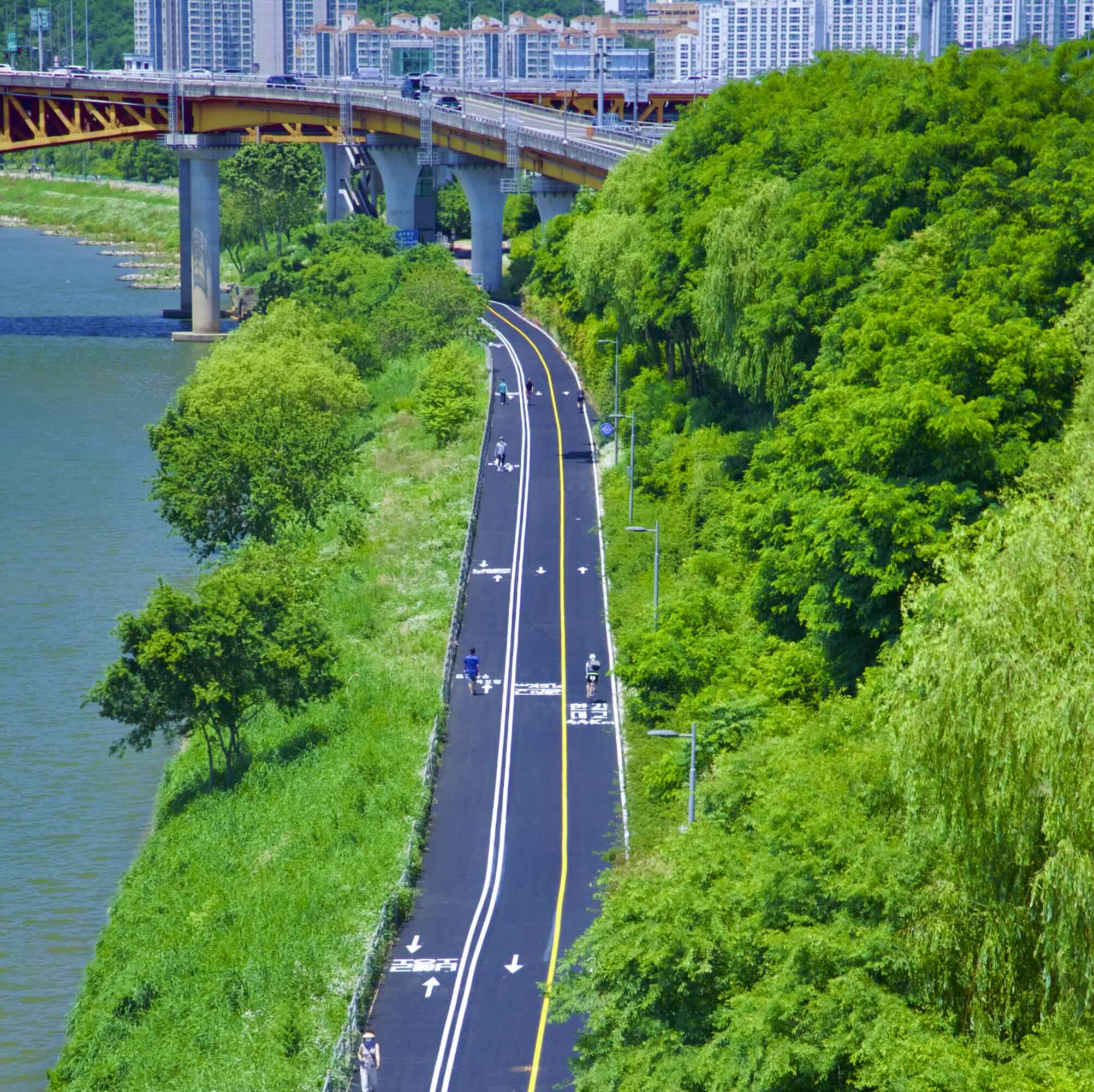
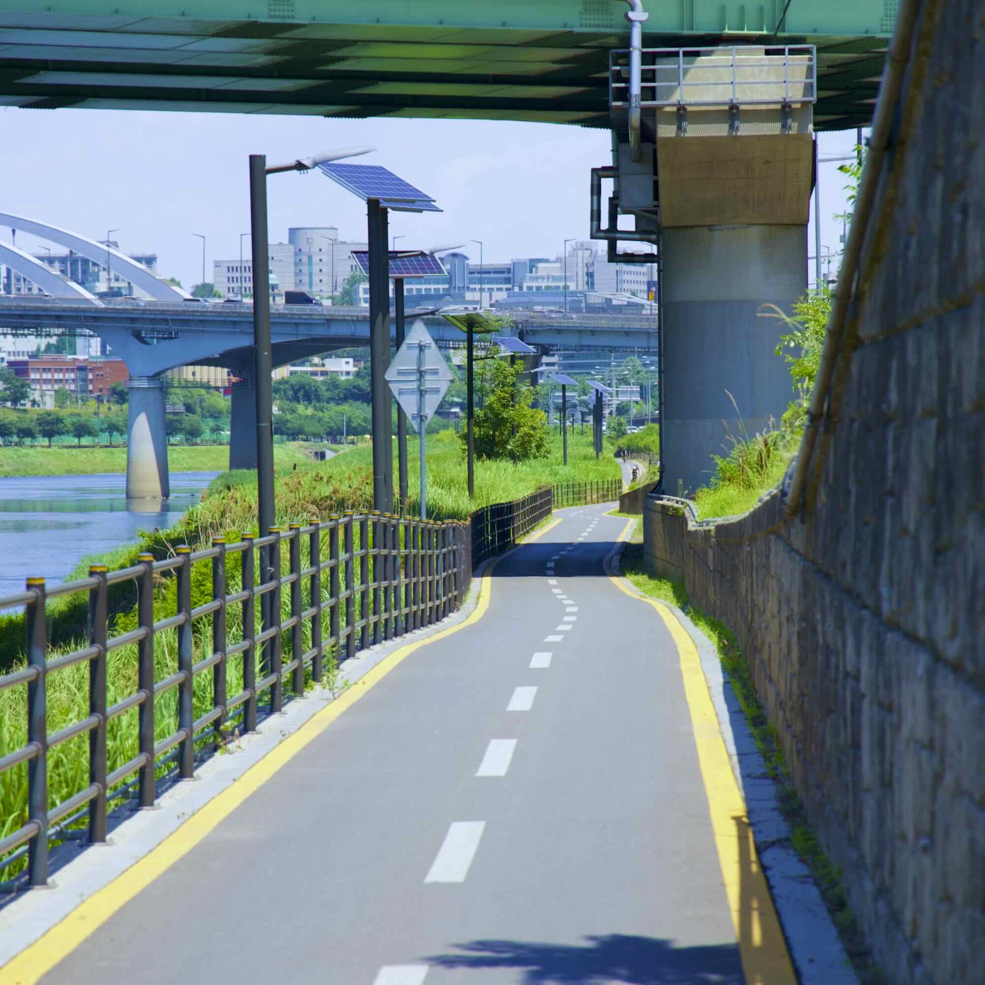
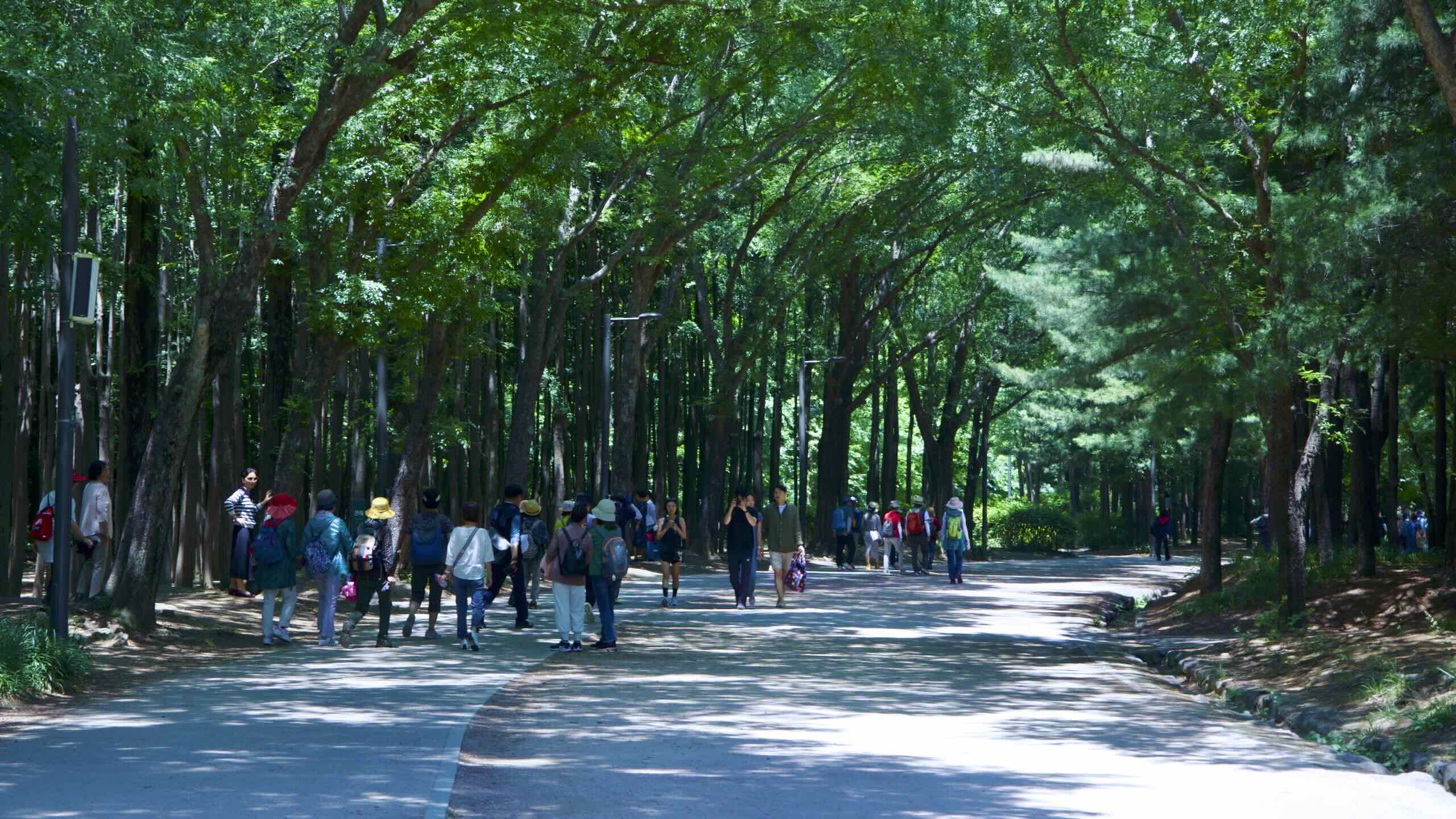
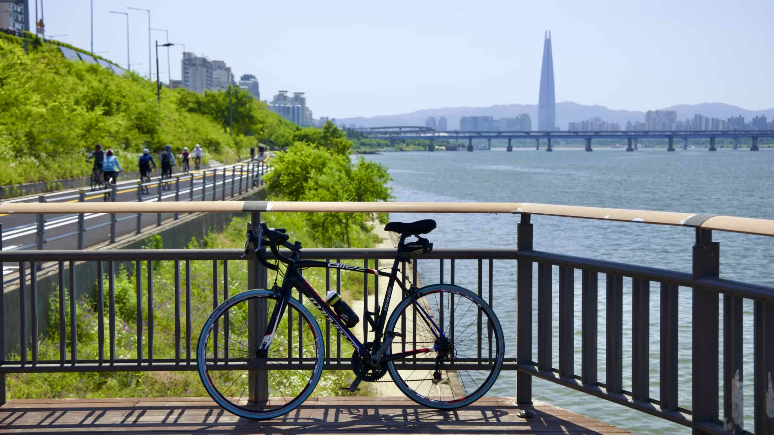
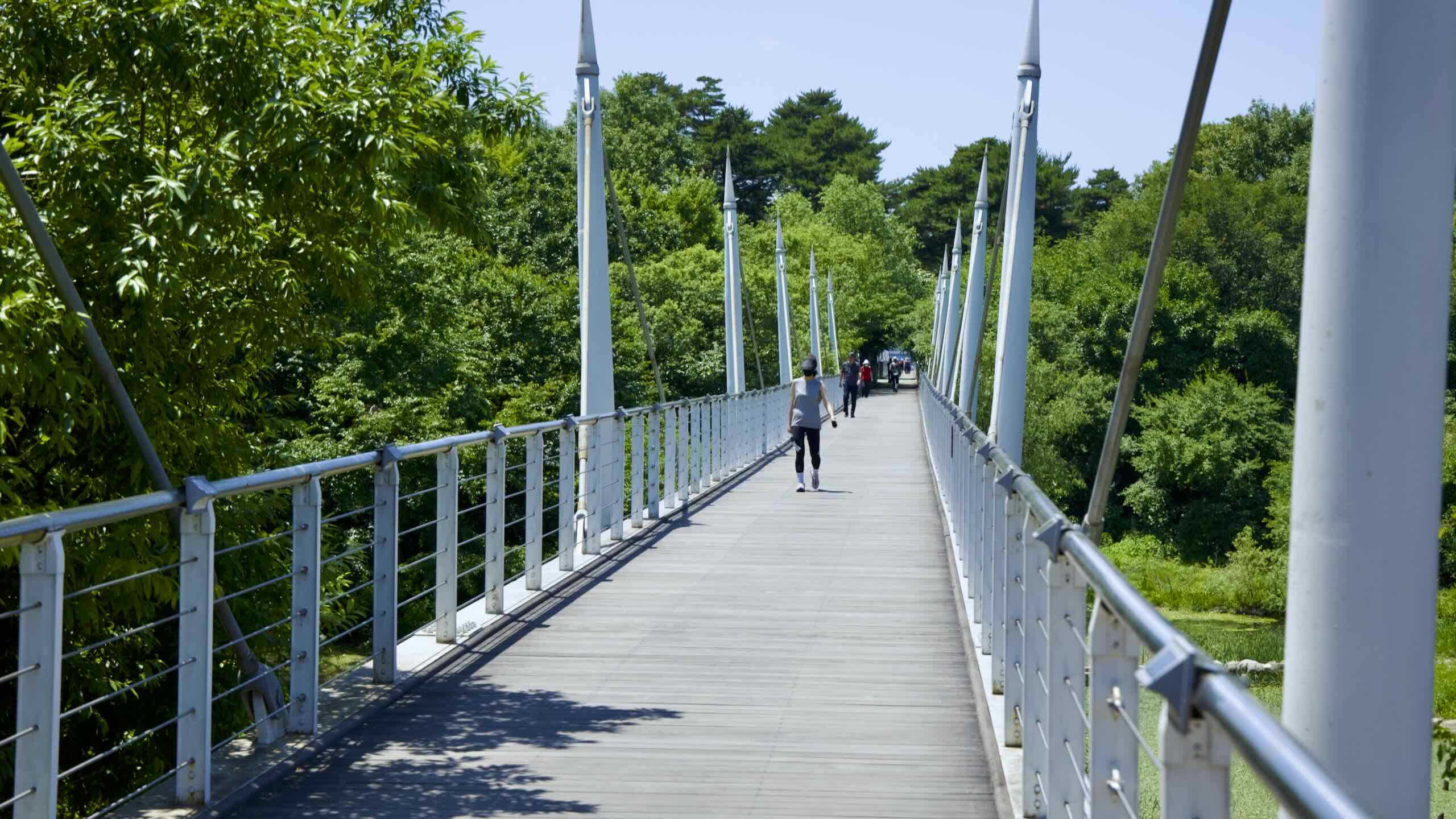
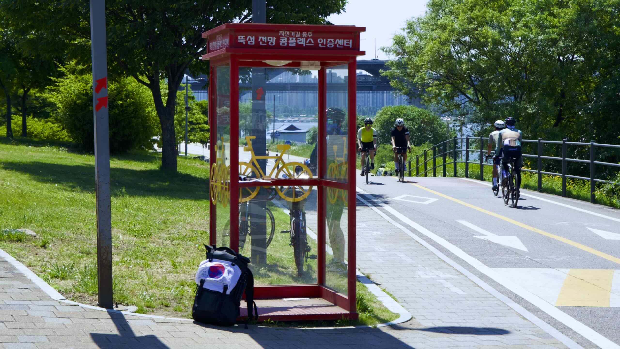
The first 3 kilometers of Ttukseom Hangang Park feature cycling and walking paths squeezed onto a sliver of ground between the Han River and Gangbyeon Expressway.
Populating this section, you’ll find viewing decks floating over the river, a pair of bridges, and a dozen under- and overpasses that leak into Seoul Forest and Seongsu Neighborhood.
Let’s inspect these access points.
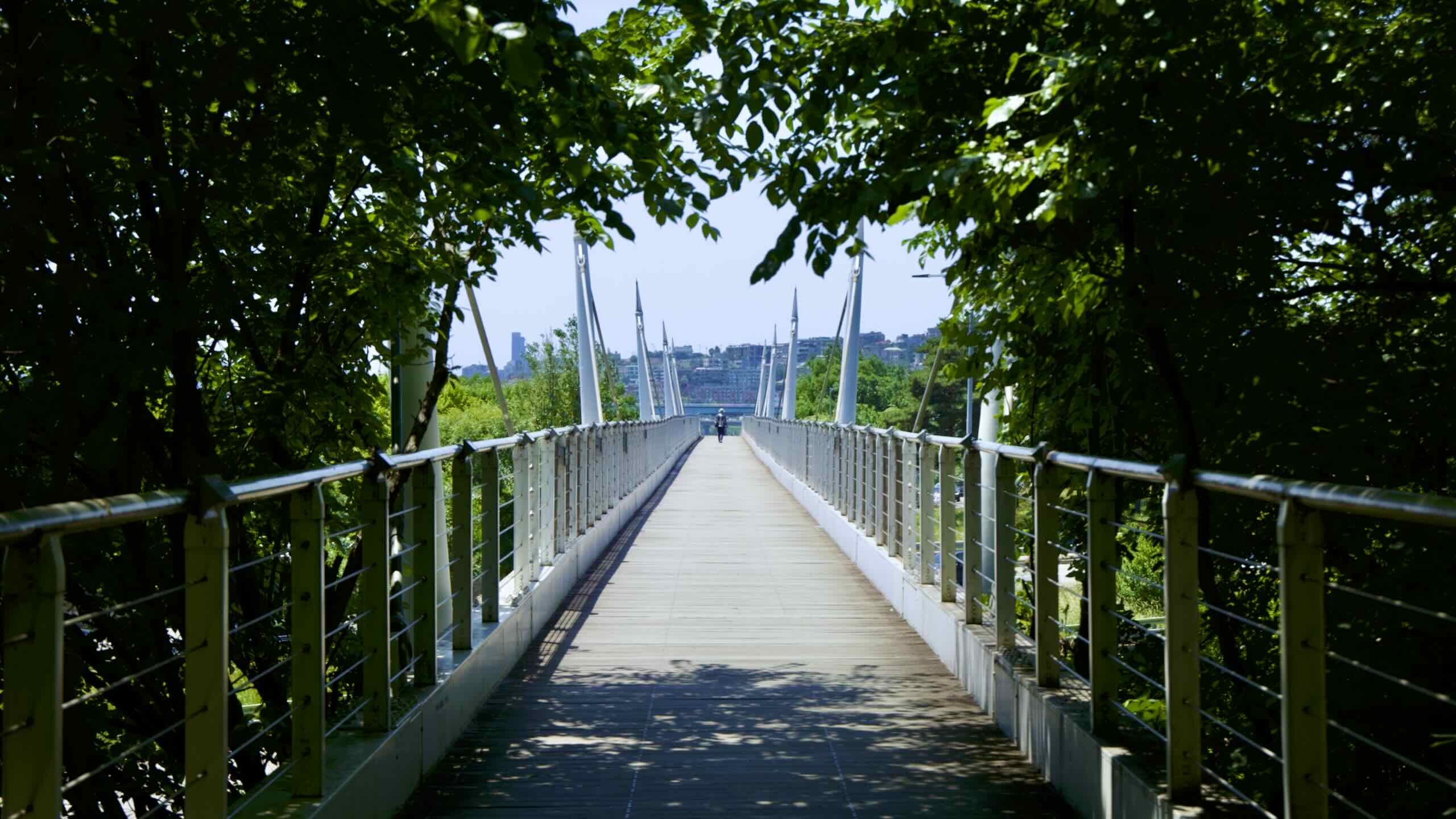
Forest Walk Observatory
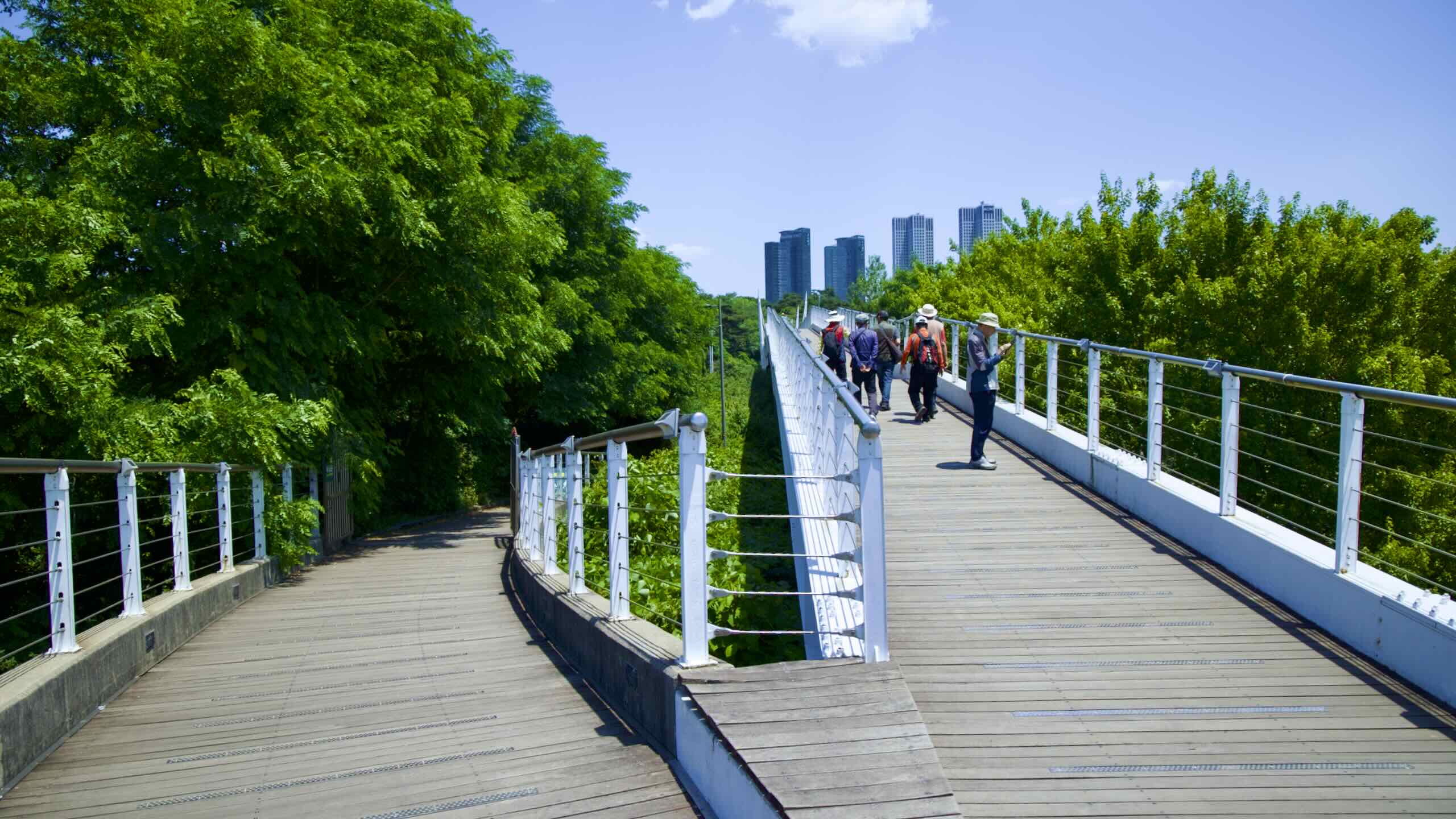
A couple hundred meters east of Jungnang Stream, spot a row of benches with white canopies (road view). Between them, a path leads to an epic viewing deck called the Seoul Forest Walk Observatory (map; aerial view).
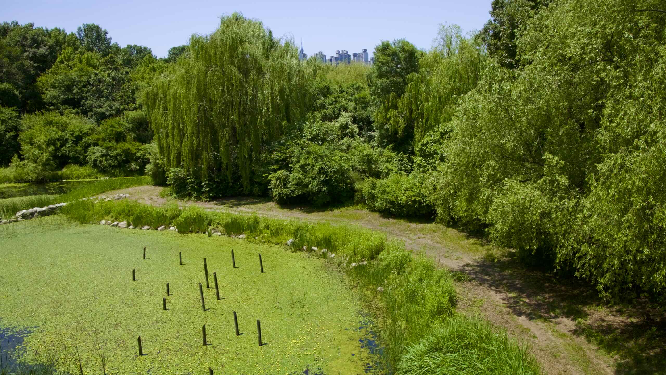
Want to check out boggy ponds and sika deer? Walk your bike down the floating walkway’s 750-meter length. Pass over Gangbyeon Express and into the heart of Seoul Forest.
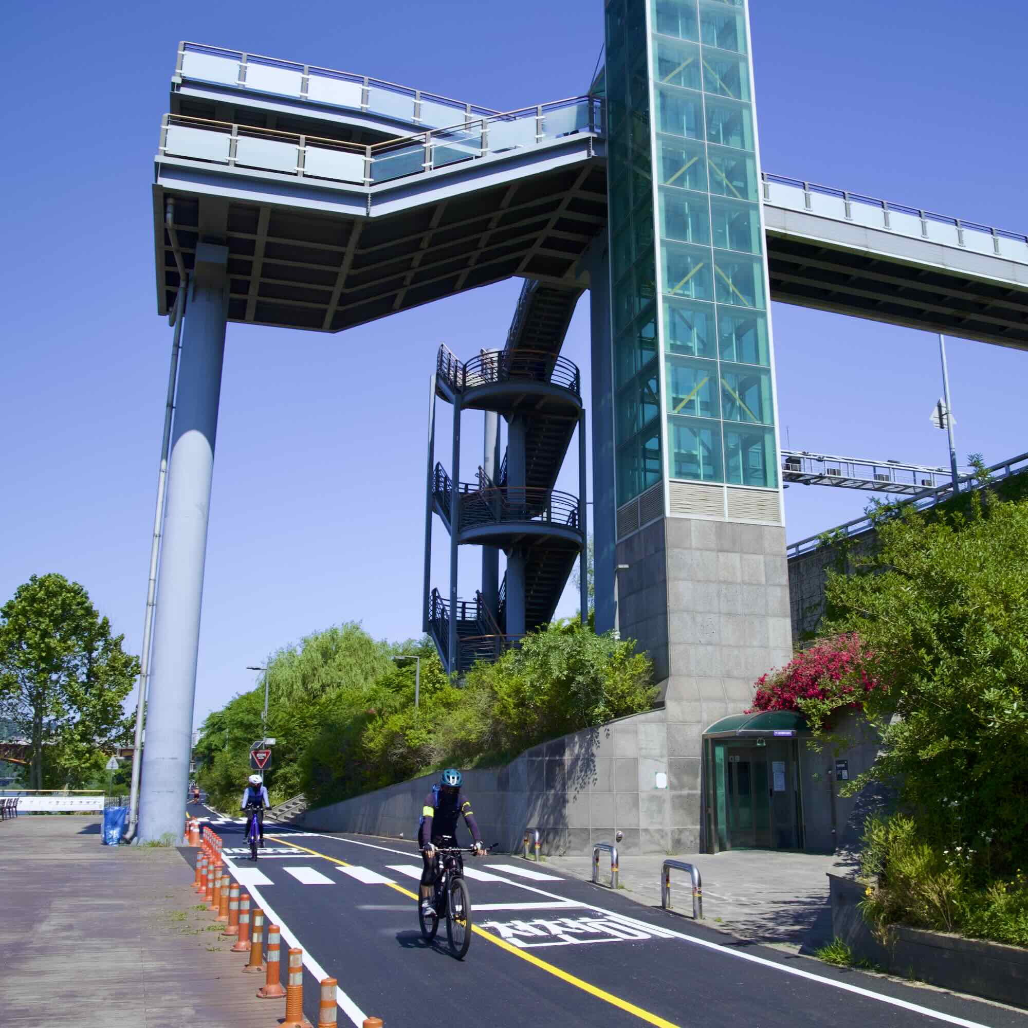
Further up the path, meet Seongsu Bridge (성수대교; map). The bridge’s pathside elevators offer a panoramic lookout spot and an excellent crossing point. But its real treasure lies below.
East of the bridge, a ramp from the bike path descends to a tunnel (map; road view). Venture through this cavernous underpass and pop out inside Seoul Forest.
Seongsu Cloud Bridge
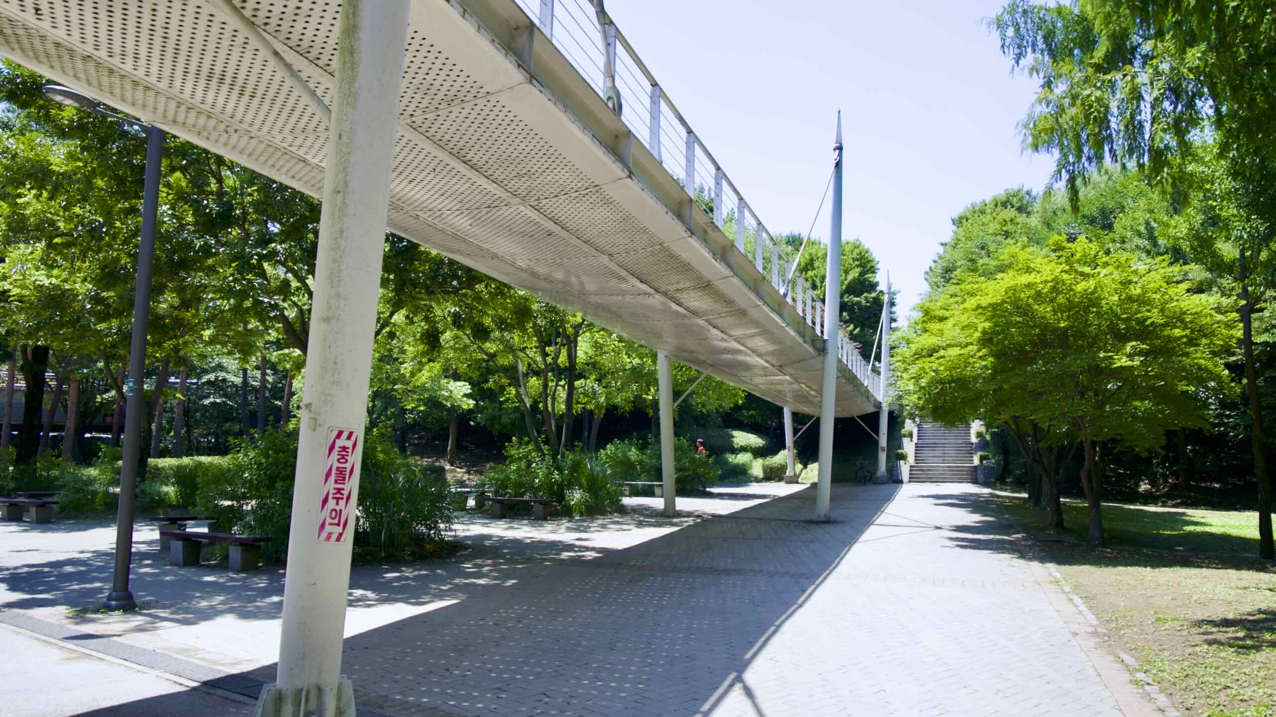
Seongsu Cloud Bridge offers an elevator, viewing deck, and walkway to Seoul Forest.
Six hundred meters past Seongsu Bridge, roll under Seongsu Cloud Bridge (성수구름다리; map; road view). Its elevator and staircase leads to a viewing deck overlooking the Han River.
Seongsu Cloud Bridge also holds a pedestrian overpass the leaps over the expressway and lands to the Waterworks Museum (수도박물관; map) in Seoul Forest.
Underpasses
Continue cycling down Ttukseom’s narrow paths. Every few hundred meters, pedestrian underpasses tunnel through an embankment below the expressway (road view).
First, the country built infrastructure and improved agriculture.
Next, it shifted to manufacturing raw materials. Steel and petrochemicals.
Then, the economy pivoted to making things.
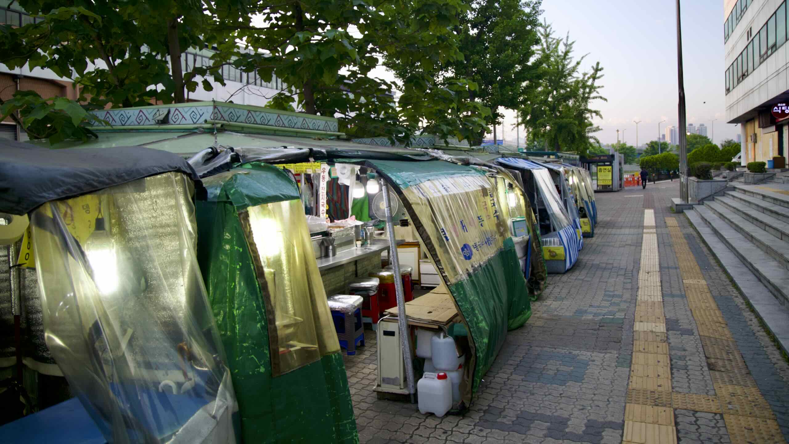
In the 1970s, factories overwhelmed Seongsu. They assembled uncomplicated goods, like textiles, books, radios, and shoes, earning the neighborhood the title “Seoul’s Factory District.”
By the 1990s, however, the nation shifted to manufacturing semiconductors and smartphones. And the average Korean moved from the factory floor to the office cubicle.
Seongsu’s factories belly-flopped into the 21st century. Many closed. Only bespoke shoe and clothing shops remained.
Jump back on the narrow bike path in Ttukseom Hangang Park.
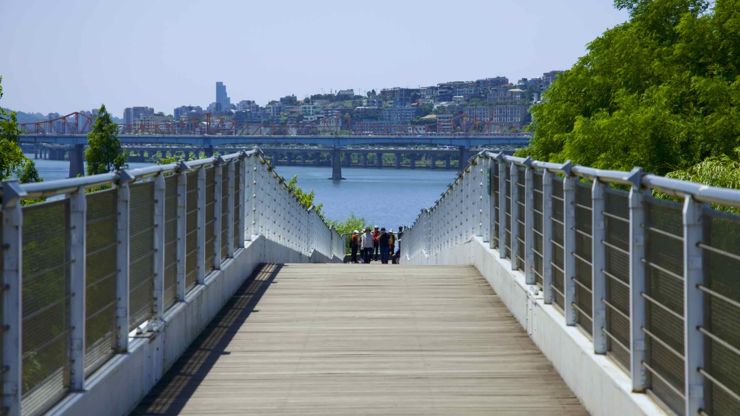
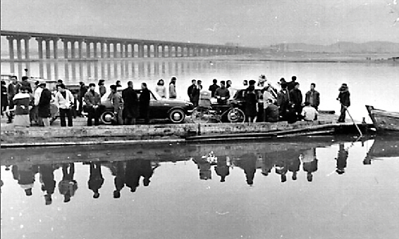
Ride under the blue-streaked deck of Yeongdong Bridge (영동대교; map). Completed in 1970, it put the Ttukseom Ferry, a 12-meter long plank boat (picture) that ferried cars, motorbikes, and 500 folks each day, out of business.
Yeongdong Bridge and Seongsu Bridge, its near neighbor, are also terrific:
To cross Yeongdong Bridge, climb stairs near the bike path (road view). Scoot across the bridge and follow a ramp onto the border between Jamwon and Jamsil Hangang Parks (road view).
To use Seongsu Bridge, take an elevator up to the bridge’s main deck. Ride across, then use another elevator to descend into Jamsil Hangang Park.
Sail under Yeongdong Bridge and meet a fork in the bike path (road view).
Go left and head into the park’s inner sanctum: picnic fields and a 40-meter-high climbing wall.
(If you’re riding on the North Side and want the Hangang certification, however, you need to cross the Han River to collect Yeouido’s certification stamp.)
Wave your Bike Passport until the ink dries. Roll down the right fork along the river’s edge and into the expansive midsection of Ttukseom Hangang Park.
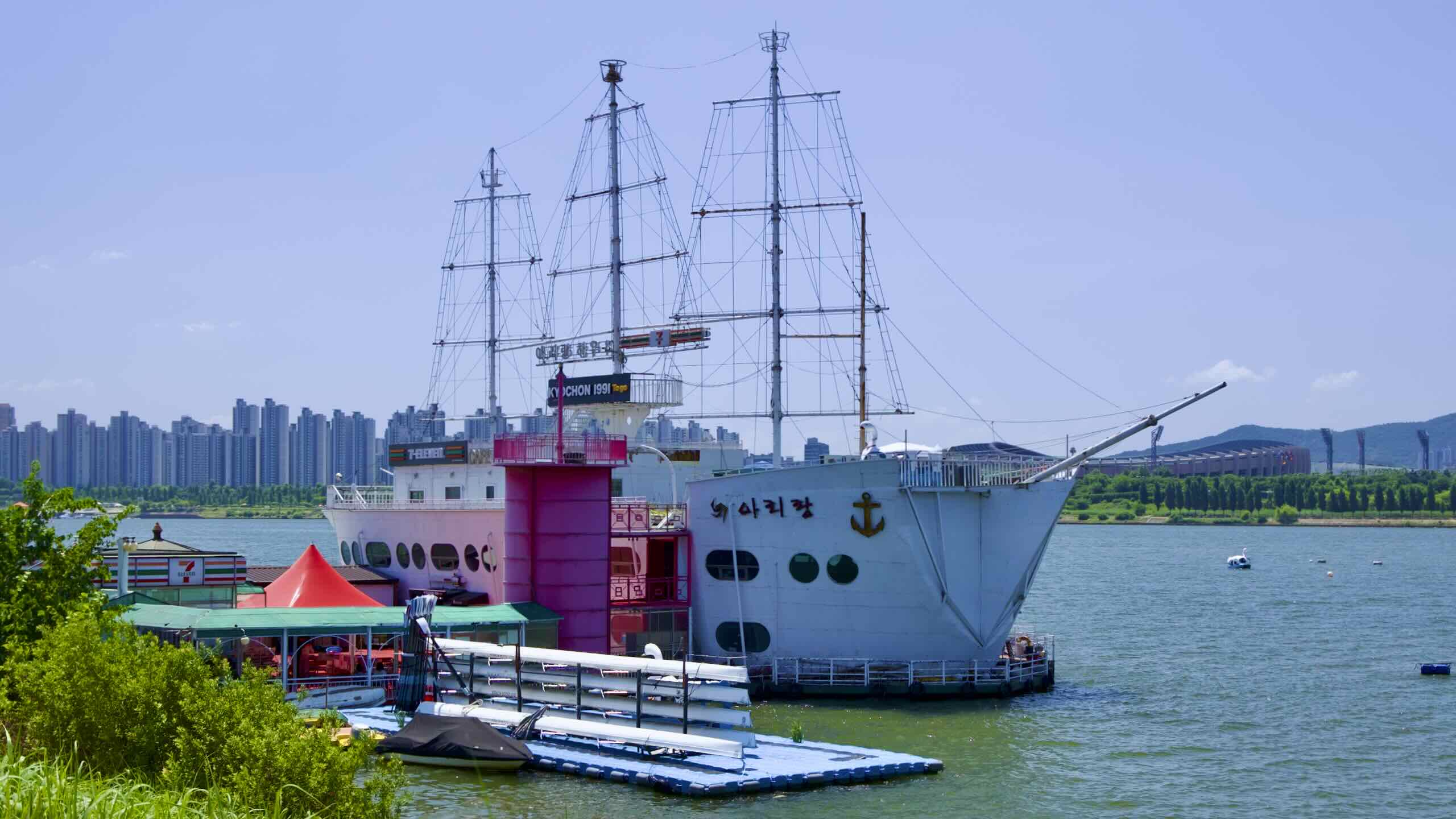
Discover a line of docks floating along the riverbanks:
Overhead, ramps spiral onto Cheongdam Bridge (청담대교; map; impossible to cross). Below… below… What is that? A spaceship? A powdered sugar donut? A modernist caterpillar that wiggled from the mind of a daft architect (road view)?
Overlooking the Han River below Cheongdam Bridge, J-Bug Cultural Complex (서울생각마루; map) is the Ttukseom Hangang Park’s chief landmark.
“J-Bug.” What kind of name is that?
Drafters modeled the building’s tubular, matte white form after moth larvae.
What about the “J”?
Check out the satellite view of the complex (map). From a bird’s-eye perspective, you can see the J-Bug unfurls like the letter “J.” The bottom bend faces the Han River. And the neck of the “J” connects with Ttukseom Resort Subway Station (뚝섬유원지역; map) on Seoul Subway Line 7.
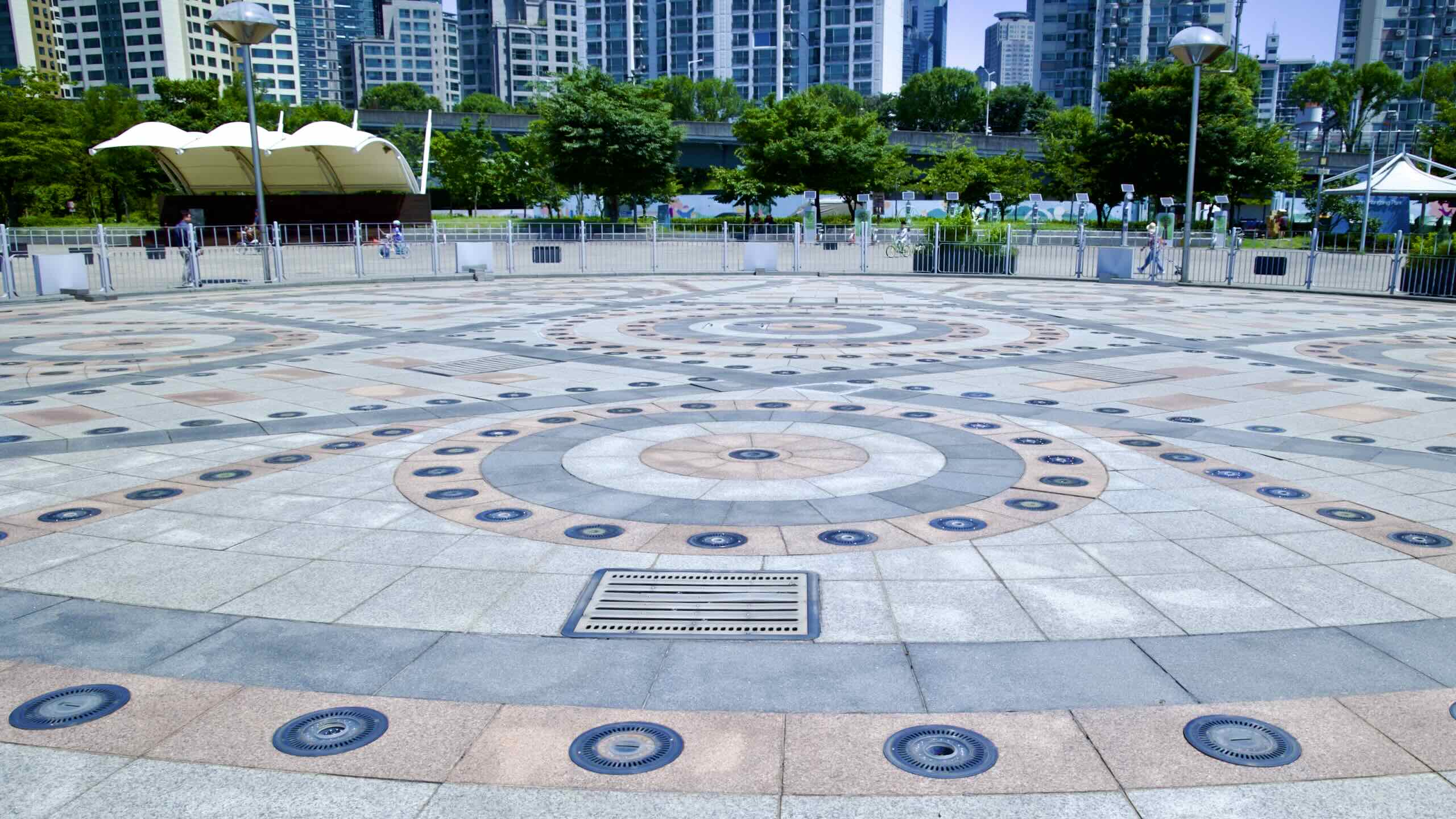
After Arirang House, roll into Waterfront Square (수변광장; map). Two fountains cap this 32,530 square meter brick courtyard with tiered steps:
Ttukseom Music Fountain (뚝섬 음악분수; map) perches on the north end of Waterfront Square. From May to October, five times a day (nine in the summer), it bursts to life in a 20-minute water show. Musical accompaniment includes K-pop, OST, and classical.
A row of water jets sits in the river at the bottom of Waterfront Square. Called Splash Theater (물보라극장; map) they spray a wall of mist on select summer nights. A rear projector then beams 40 minute videos onto this “water screen.”
Gardens & Windsurfing
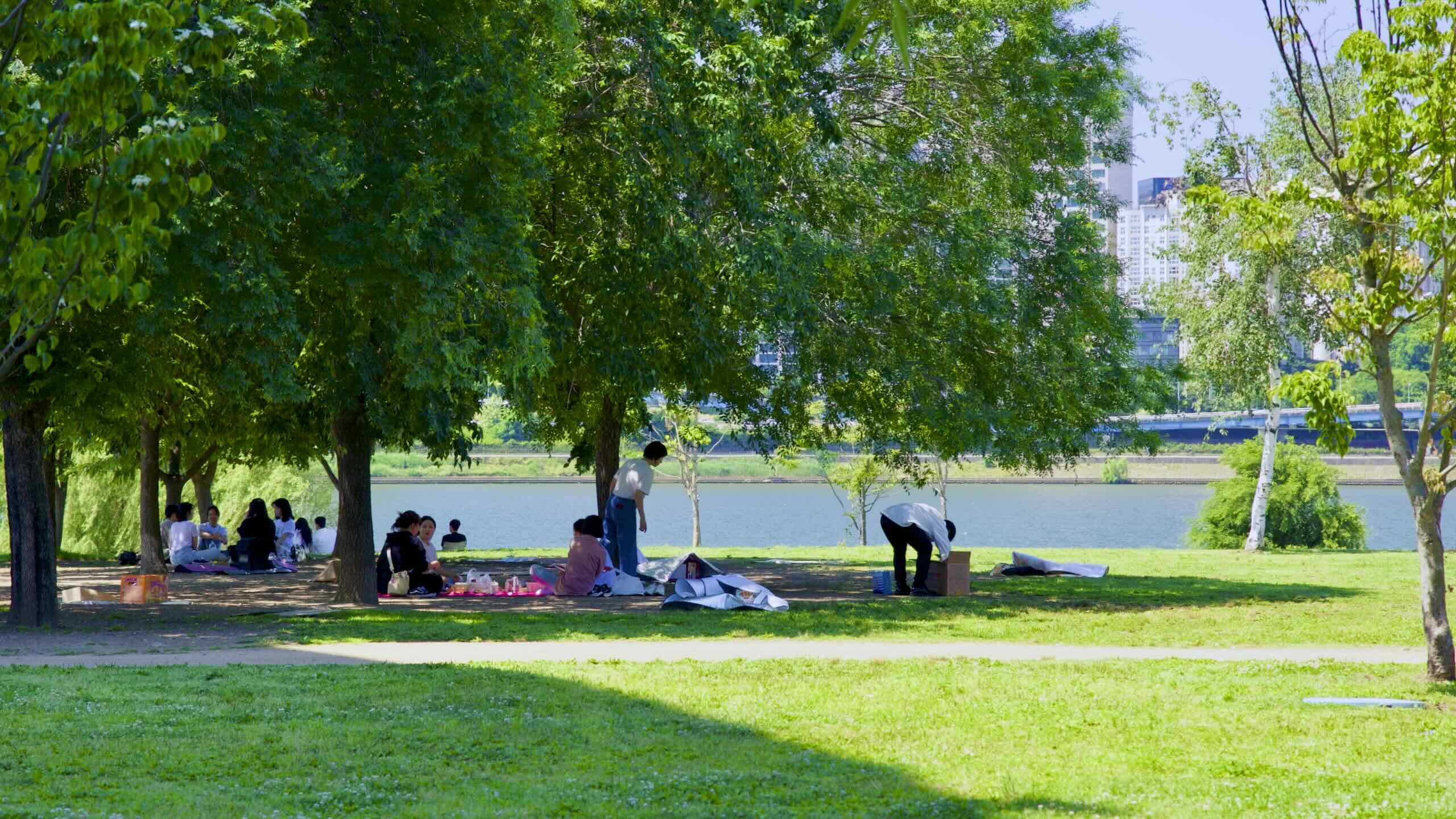
Head east down the path. Find fields of picnicking families and twin gardens filled with a colorful rose garden (map) and a network of dirt paths (map).
Next, come to a parade of bungalows and pontoon docks along the river (road view). Called the Ttukseom Windsurfing Resort (뚝섬 윈드서핑장; map), this complex houses 50 clubs, including kayaking, paddle boarding, and windsurfing, the most popular watersport on Ttukseom.
Water cascades over a curved embankment below the bridge’s pillars (road view).
Six concrete towers rise on the bridge’s north end (road view).
What are those?
In the late 20th century, engineers set out to tame the tempestuous Han River. So they dredged the riverbed and installed weirs (water gates) below two bridges.
Jamsil Bridge (잠실대교; map) — bridge built in 1972; weir built in 1986
Those concrete towers hide watergates that raise and lower, regulating the river’s flow.
Engineers also installed the Jamsil Fish Way (잠실물고기길; map) on the bridge’s south end. This fish ladder comprises 228-meters of tiered steps that allow fish to hop upstream, avoiding the weir’s currents and barriers.
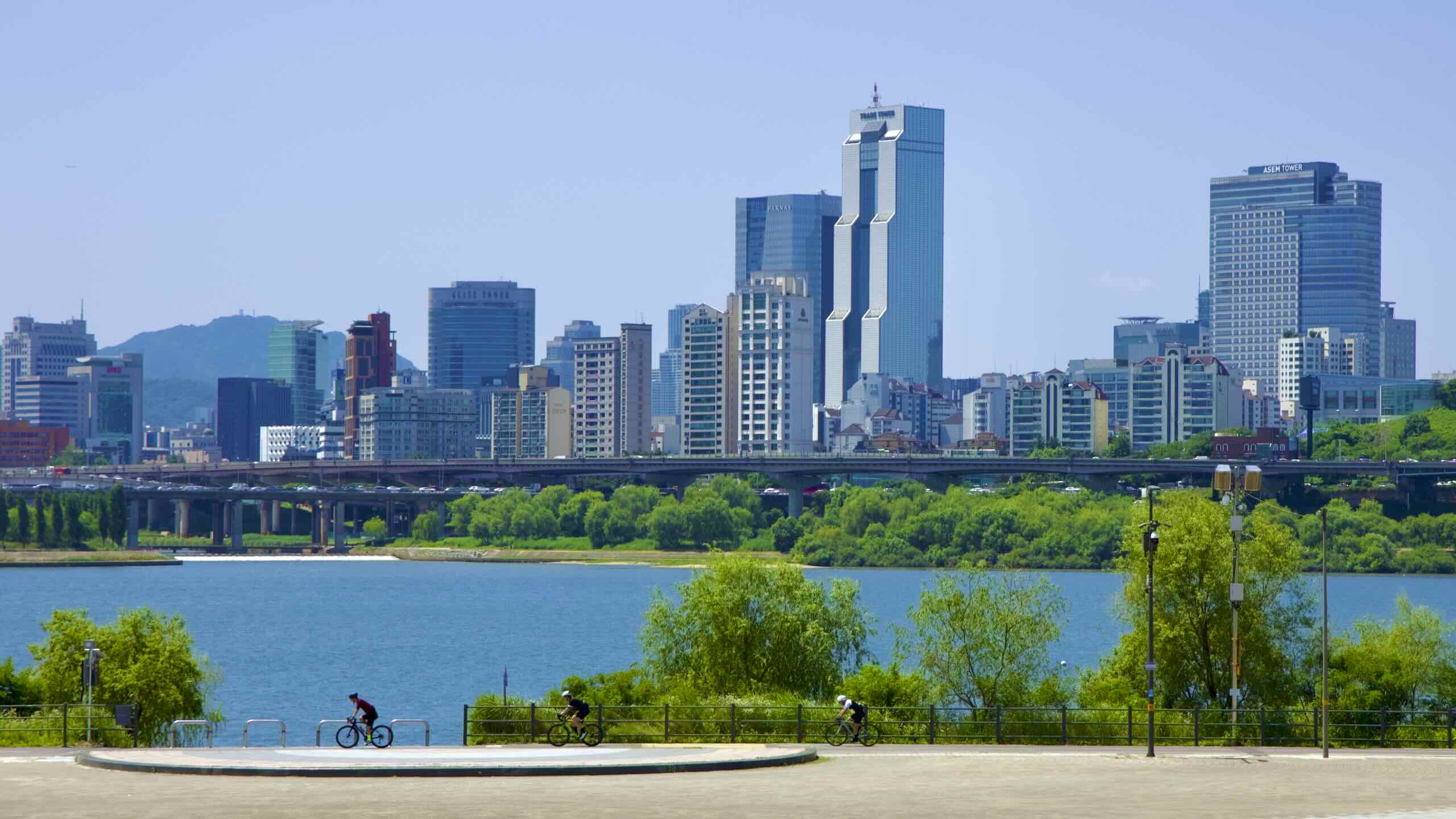
From Ttukseom Hangang Park, the bridge’s cycling path shoots across the river and lands on the border between Jamsil and Gwangnaru Hangang Parks on the South Side.
Jamsil Railroad Bridge isn’t just a great river-crosser. From Ttukseom’s bike path, head onto the bridge, then veer north into the city and land between of two transportation hubs:
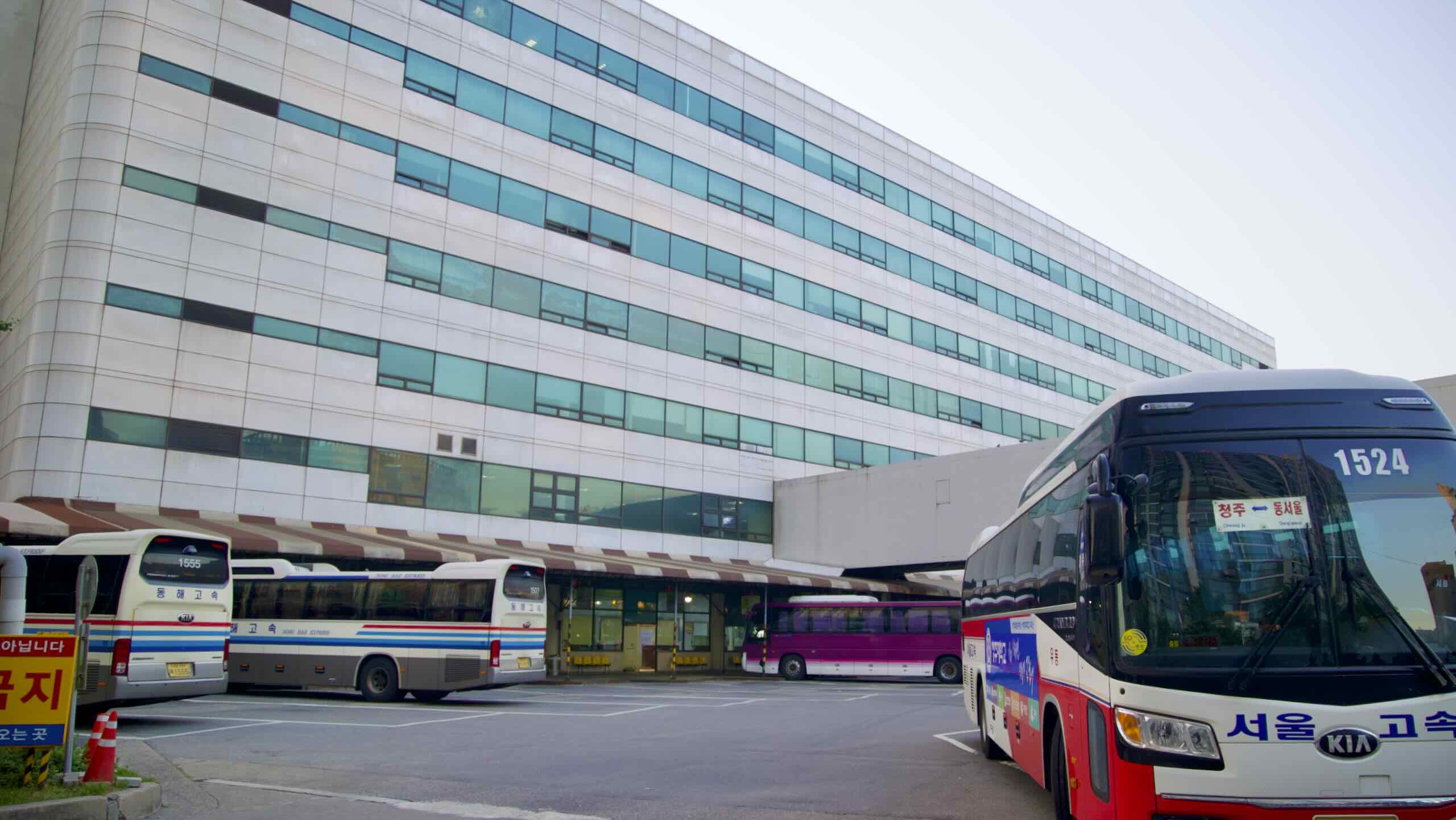
Dong Seoul (East Seoul) Bus Terminal is one of Korea’s busiest intercity bus hubs, along with the express terminal near Banpo Park. It offers routes to almost every city and county in the nation.
Want to exit Seoul with your bike? Head here. Buy a ticket. Stuff your two-wheeled contraption in an intercity bus’s luggage compartment. Hop aboard. Take a nap.
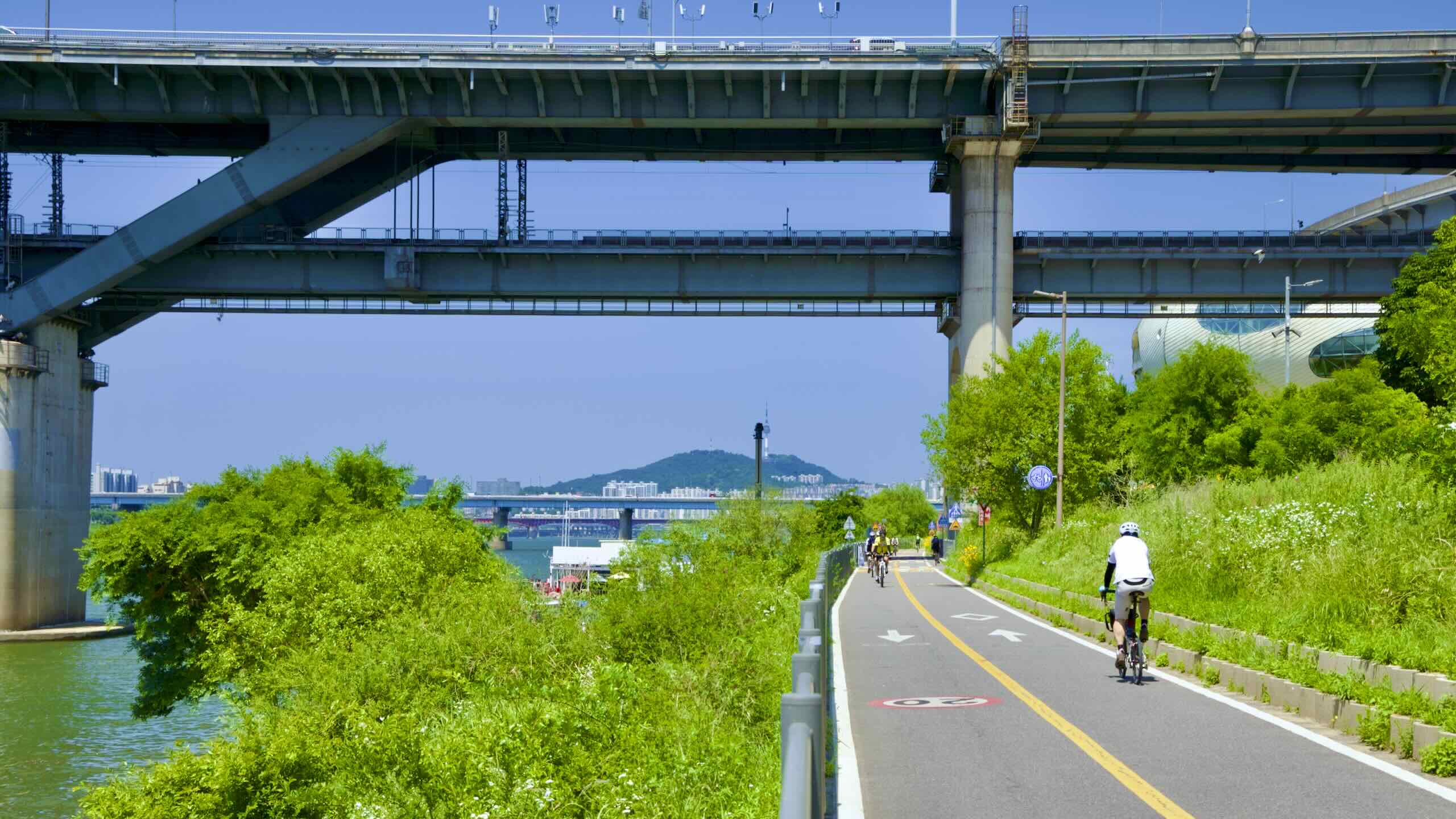
Take the right fork and zoom below Jamsil Railroad Bridge.
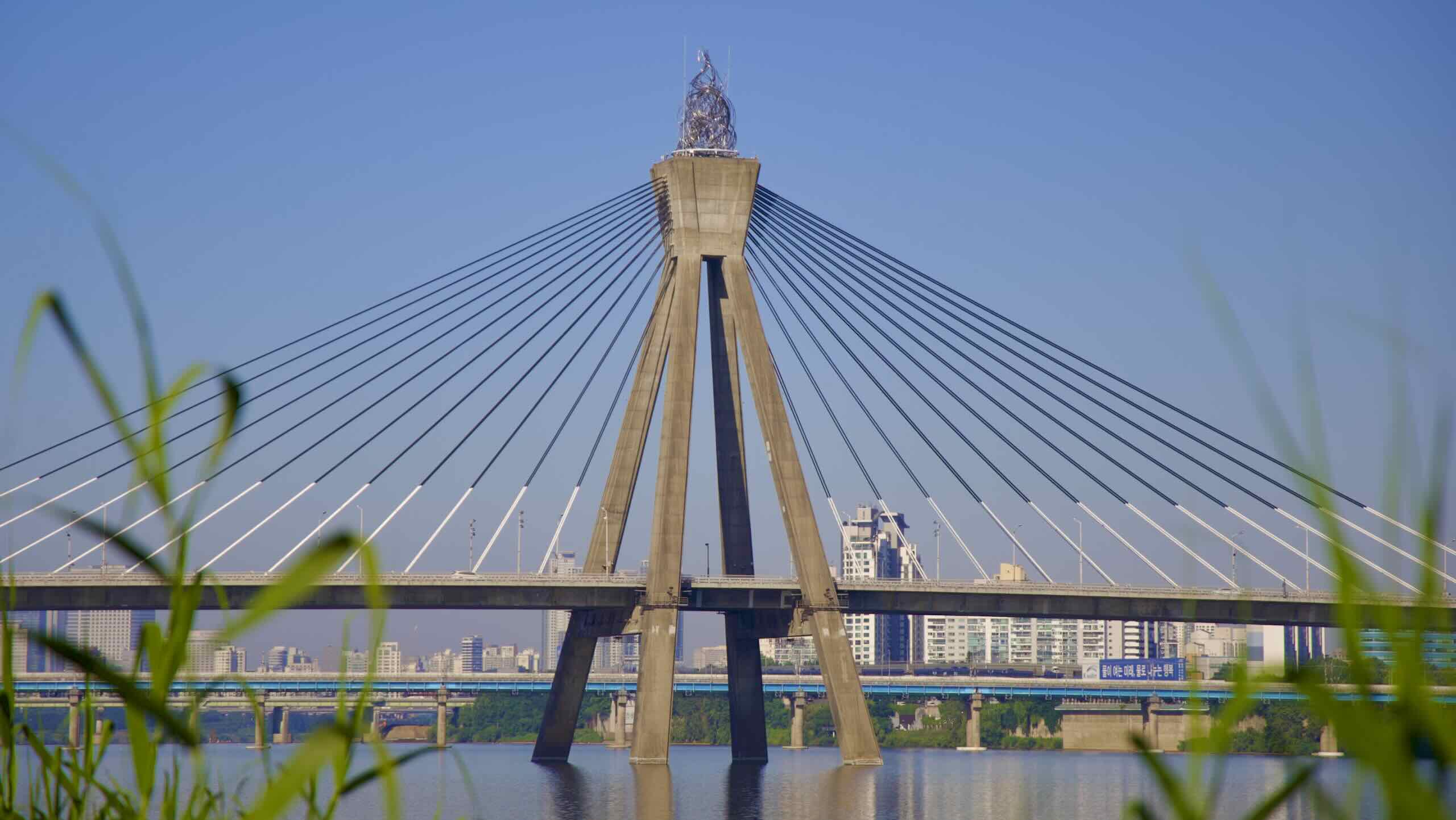
Through weeping green trees, spy a bridge with cables tied to a pyramid of ascending cement beams. On top perches a cauldron with twisting, silvery flames (road view).
However, Olympic Bridge was Korea’s first to employ cable-stayed architecture. Limited technology and miscalculations led to the bridge’s partial collapse and delayed completion.
While the bridge opened a year after the Olympics’ closing ceremony, the bridge reminds Koreans of their rapid ascension: international aid recipients in the ‘50s to an Olympic host nation in the ‘80s.
The Riverview 8th Avenue clings to Gwangjin Bridge’s underbelly (road view). It features a viewing deck that wraps around two glass-walled lounges.
Riverview 8th Avenue’s north lounge is a small concert space. A cafe with tables, a small library, and bean bag chairs occupy the north lounge. Both lounges feature tempered glass floor panels that allow visitors to gaze down at the rushing Han River waters below (video).
The outdoor, wrap-around observation deck never closes. But the lounges have limited operating hours.
Want to cross to the South Side? Slip through an underpass below Gangbyeon Expressway (road view) and climb up to Gwangjin Bridge’s deck. Use the bridge’s northern sidewalk to cycle across. Spiral down another ramp into Gwangnaru Hangang Park (road view).
(Gwangjin Bridge’s southern sidewalk is walking-only. Its northern sidewalk is biking-only.)
But, are you a completionist? Do you want every single certification stamp in the nation? Then cross Gwangjin Bridge (광진교; map) and collect the Gwangnaru Bicycle Park stamp (map).
Total cost: 3.4 kilometers and 12 minutes (directions).
Pass under Gwangjin Bridge and leave Ttukseom Hangang Park, Seoul’s last North Side Hangang Park.
Are you out of Seoul? Not quite. One more kilometer to go.
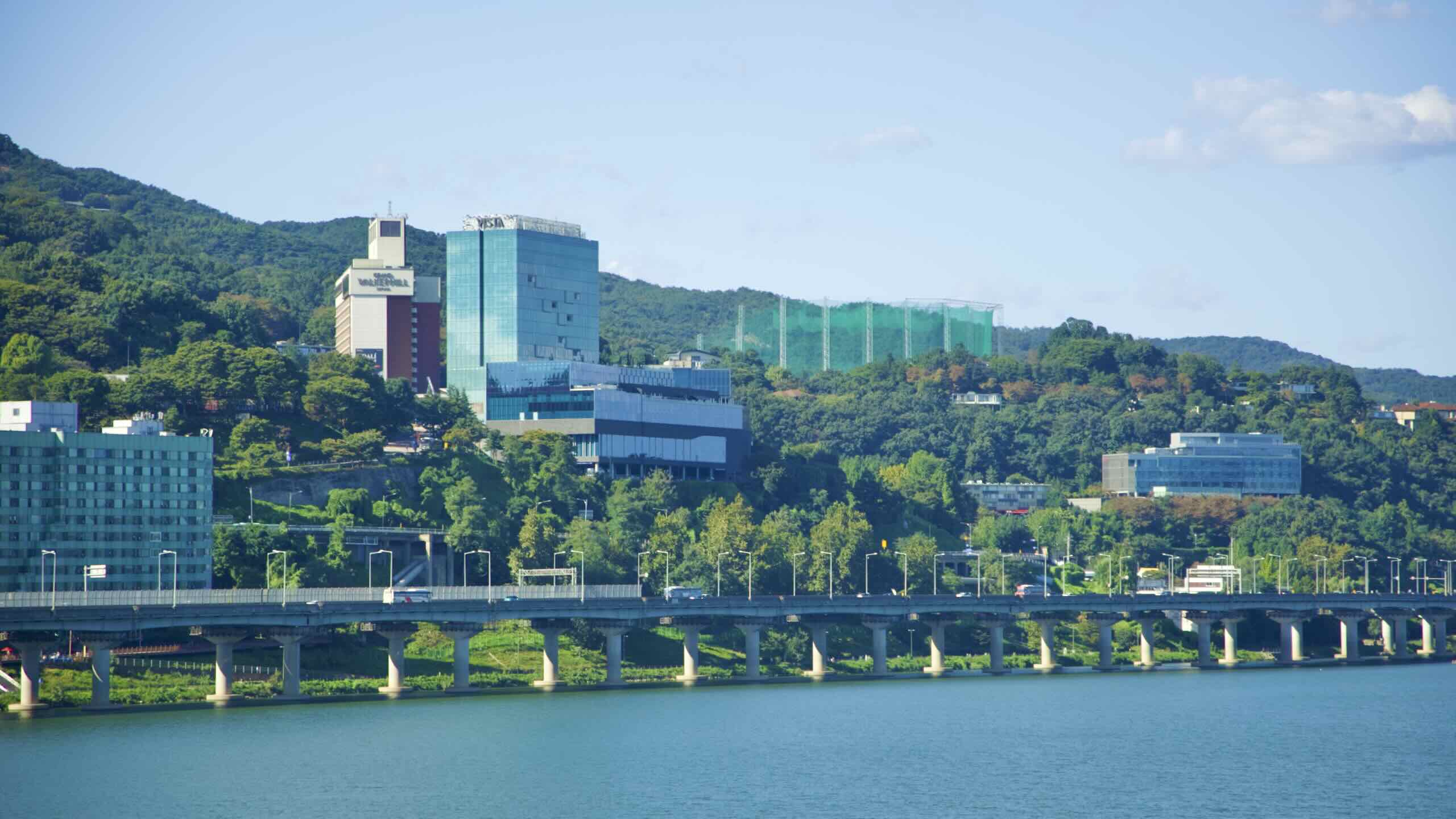
Travel between a valley of concrete expressway pillars and apartments. Down the path, find a courtyard below the Grand Walkerhill Seoul (그랜드 워커힐 서울; map; road view).
From below the hotel, roll a hundred meters down and spot a nondescript concrete box (road view). Once a water intake station, the Seoul Foundation for Arts and Culture (SFAC) hollowed out the building’s interior in 2015 and installed the Seoul Street Arts Creation Center (거리예술창작센터; map), a venue dedicated to street and contemporary circus arts.
Beyond the arts center lies colorful pathside posts (road view). They bid you farewell to Seoul.


