Banpo Hangang Park rides the Han River through Dongjak District and Seocho District. The border between these districts divides southern Seoul into eastern and western halves.
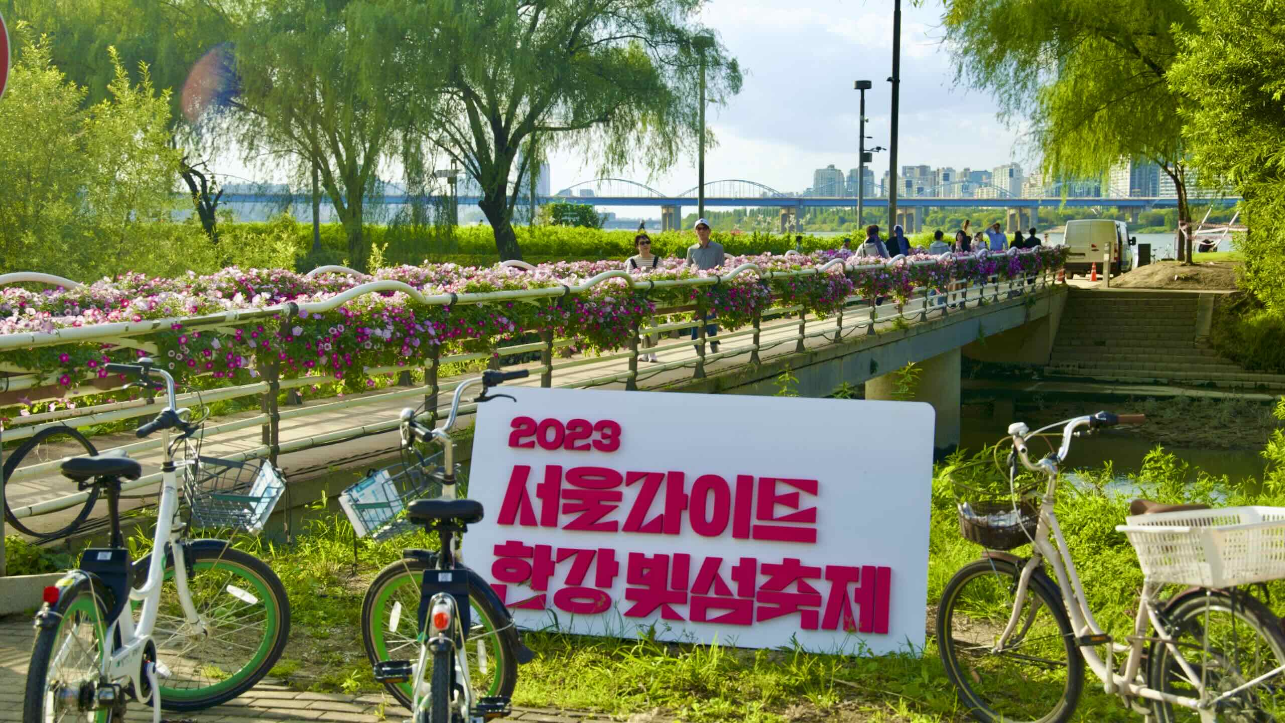
The park receives its name from the Seocho District’s Banpo Neighborhood (반포동; map), a riverside enclave that houses some of the city’s most expensive apartments.
The Dongjak District doesn’t claim the same riches as its eastern neighbors, Seocho and Gangnam. But it holds a unique history.
On the south end of Hangang Bridge on Nodeul Island, a sculpture/sign welcomes you to the Dongjak District.
Dongjak History
The Dongjak District sits across the Han River from Hanseong (한성), today’s Jongno and Jung Districts and the old capital of the Joseon Dynasty (대조선국; 1392 ~ 1897).
Dongjak grew two major ports because of its proximity to the ancient nation’s political heart:
Like Dongjak, Seocho’s small ports, riverside villages, and paddy fields dwelled in Gyeonggi Province until 1963, when Seoul underwent its “Great Expansion.”
Scoot under and then beside Olympic Boulevard. Crawl up a bunny slope and spot Hangang Bridge’s leaping white trusses ahead.
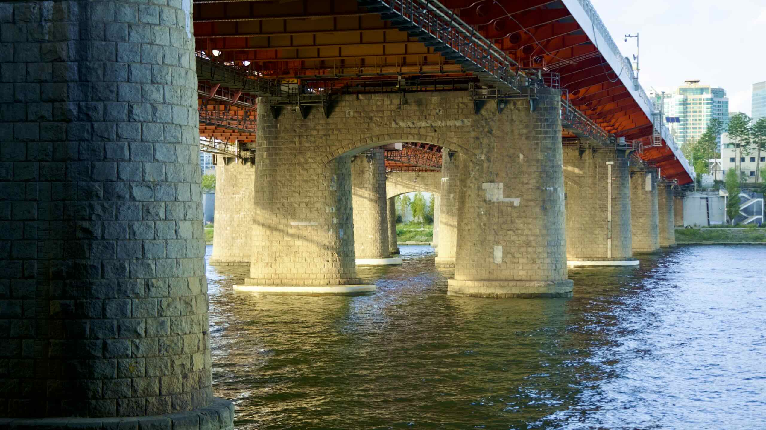
Like the Hangang Railway Bridges you just passed, Hangang Bridge was another groundbreaker: the first pedestrian bridge to cross the Han in 1917. And like the railway bridges, the retreating South Korean Army detonated the bridge early in the Korean War.
In the 50s, engineers reincarnated the Hangang Bridge as a vehicle bridge.
Find an offramp onto the bridge from the bike path’s eastbound lane beside Olympic Boulevard (road view). You can’t access the ramp from the westbound lane.
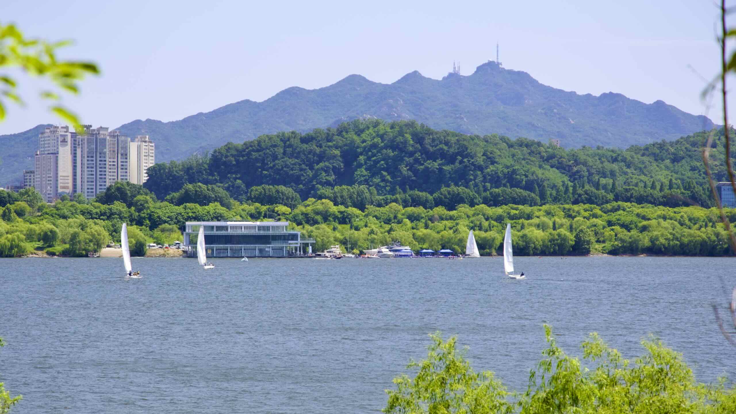
Hangang Bridge offers more than a crossing point. It touches down on Nodeul Island (노들섬; map) halfway across the Han River.
Nodeul Island was once just the tip of a sandy beach emanating from the Han River’s northern banks. After workers dredged the river and added weirs, the beach washed away. Only an island remained.
Today, Nodeul calls itself a “global art island.” Its western half hosts a complex of courtyards and chic-buildings that host events, art galleries, green lawns, and panorama of Seoul’s skyline.
The Subterranean Stretch
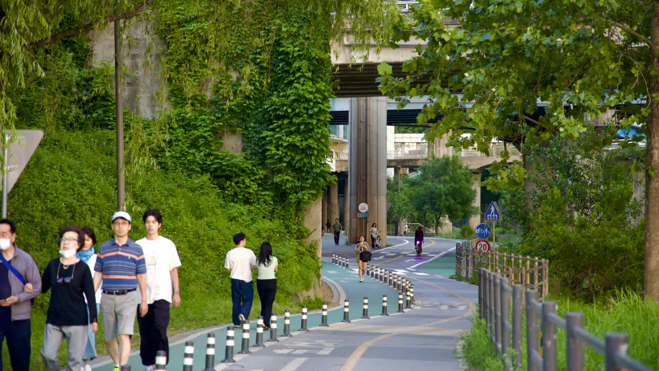
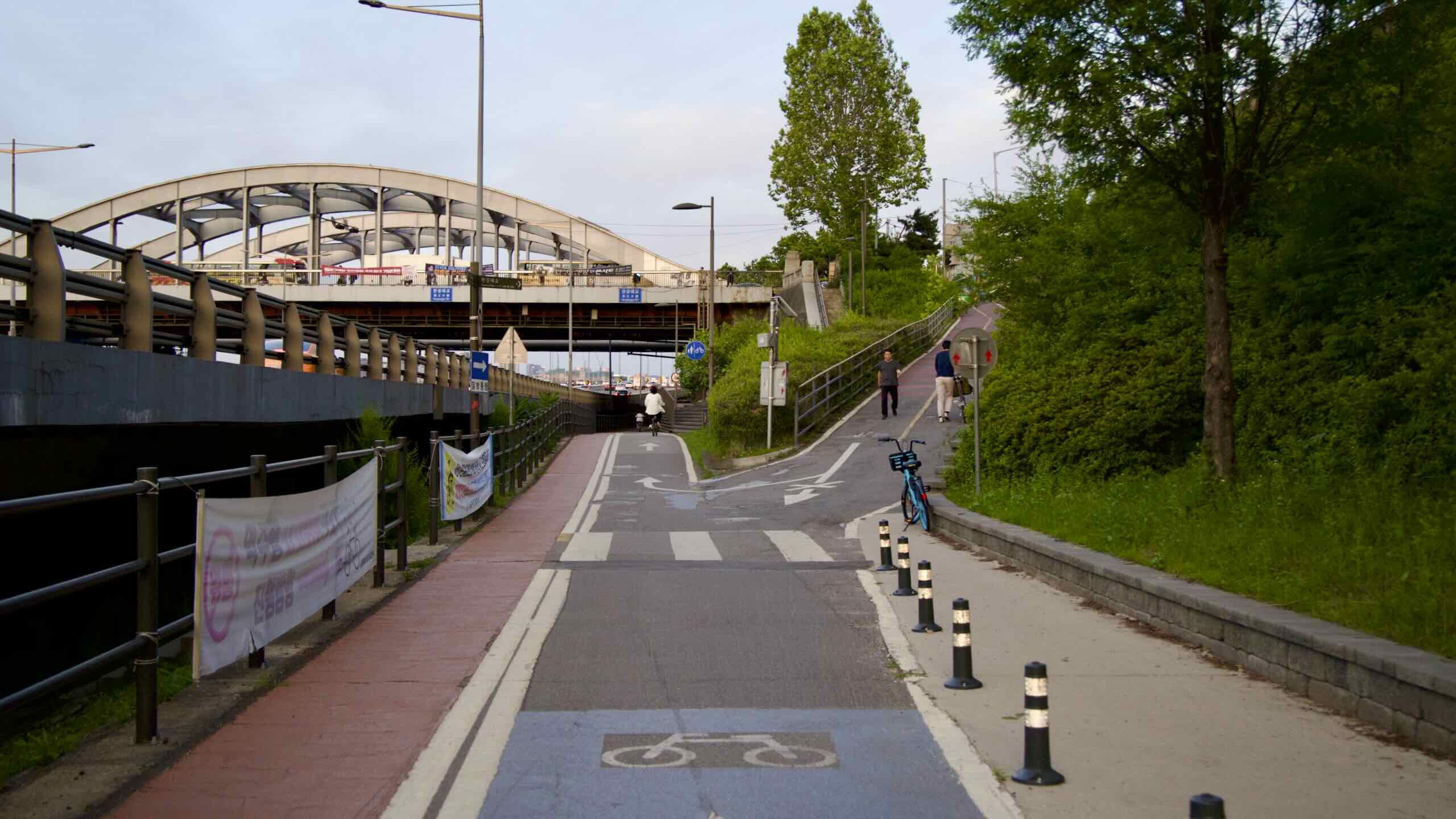
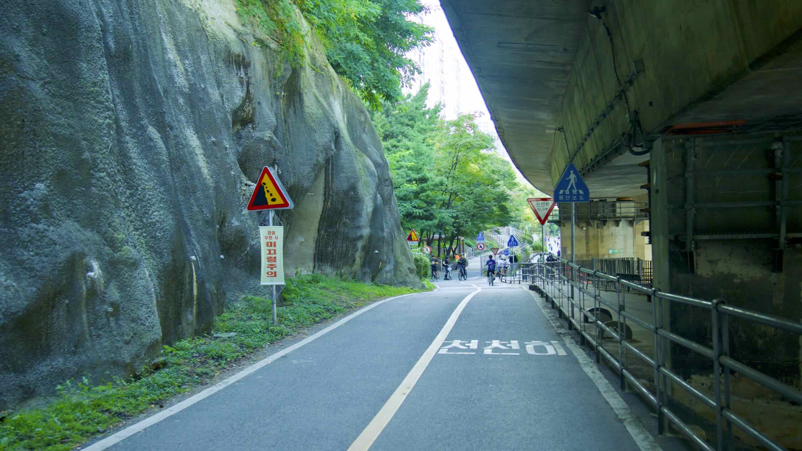
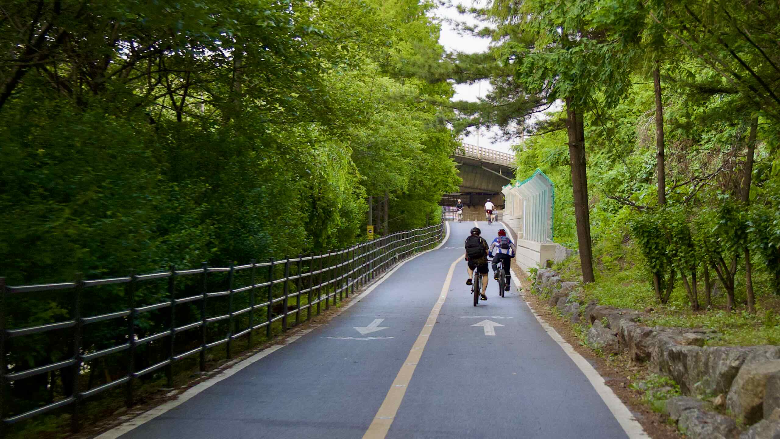
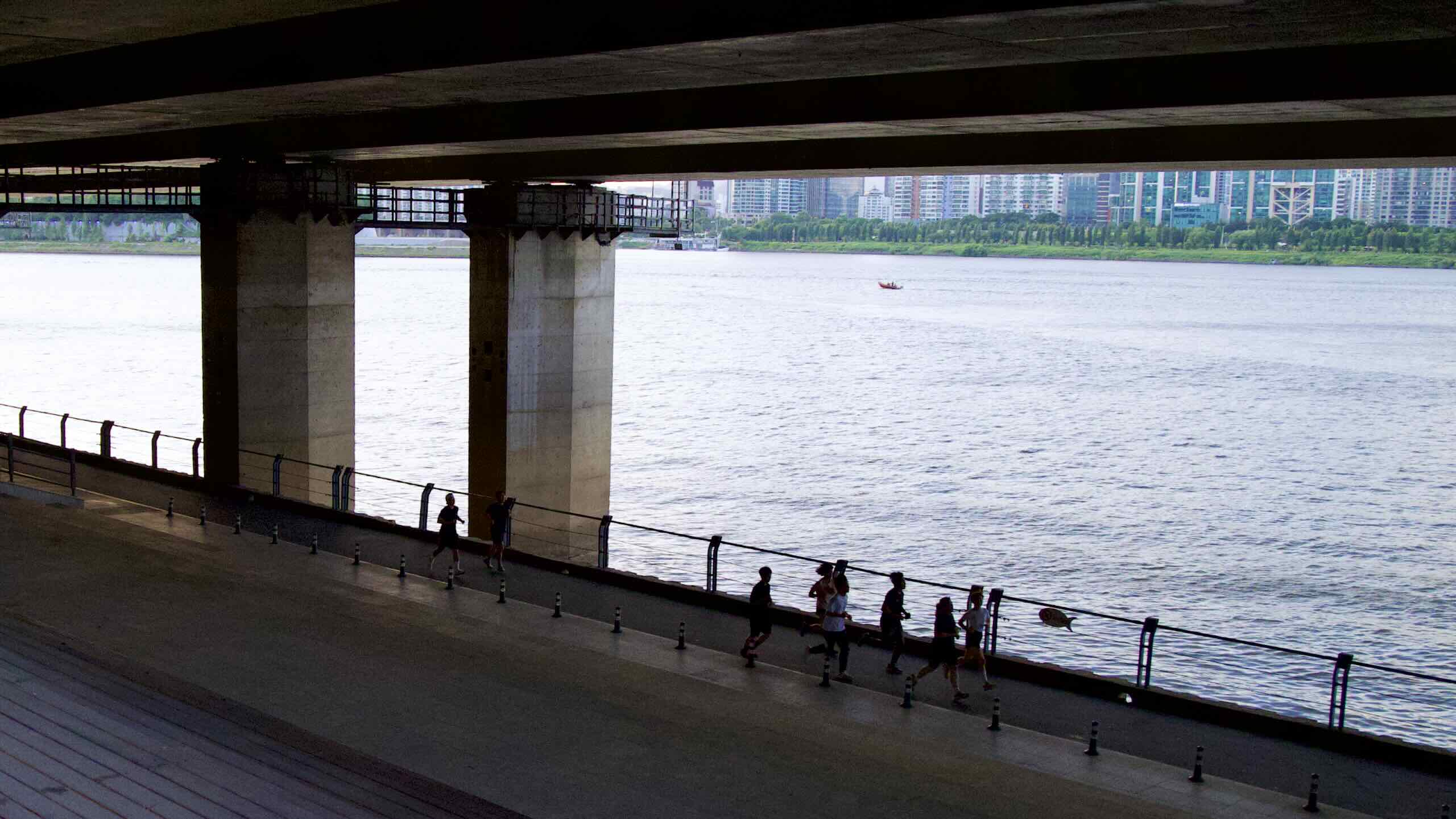
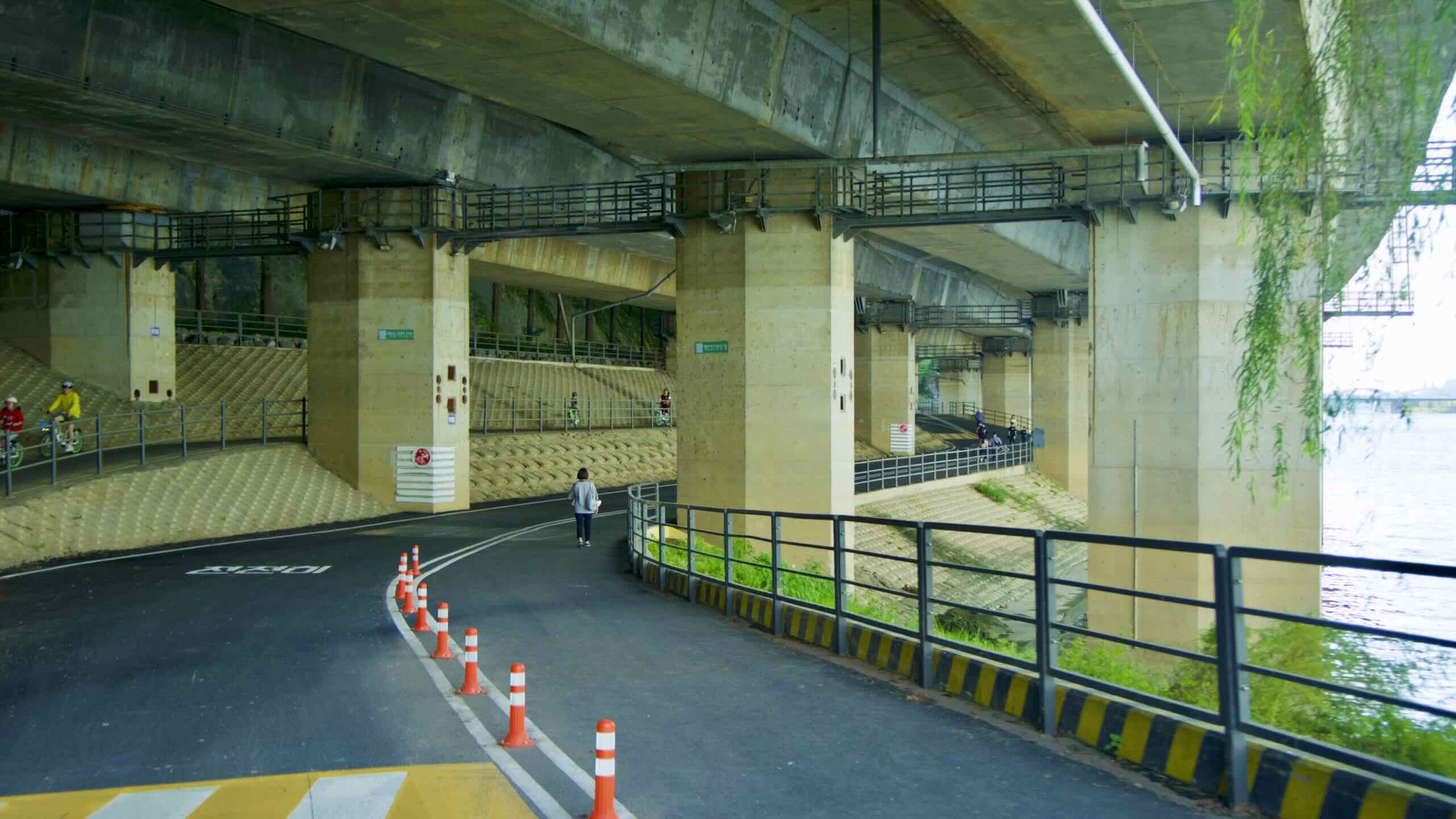
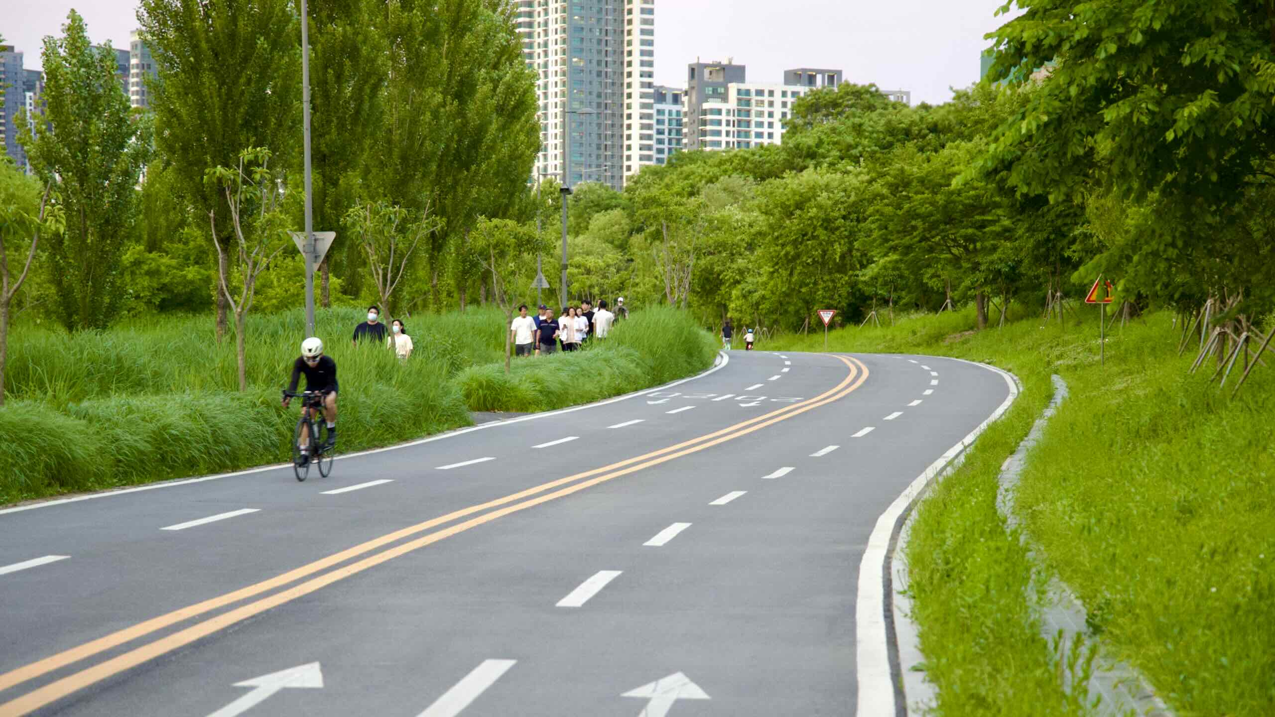
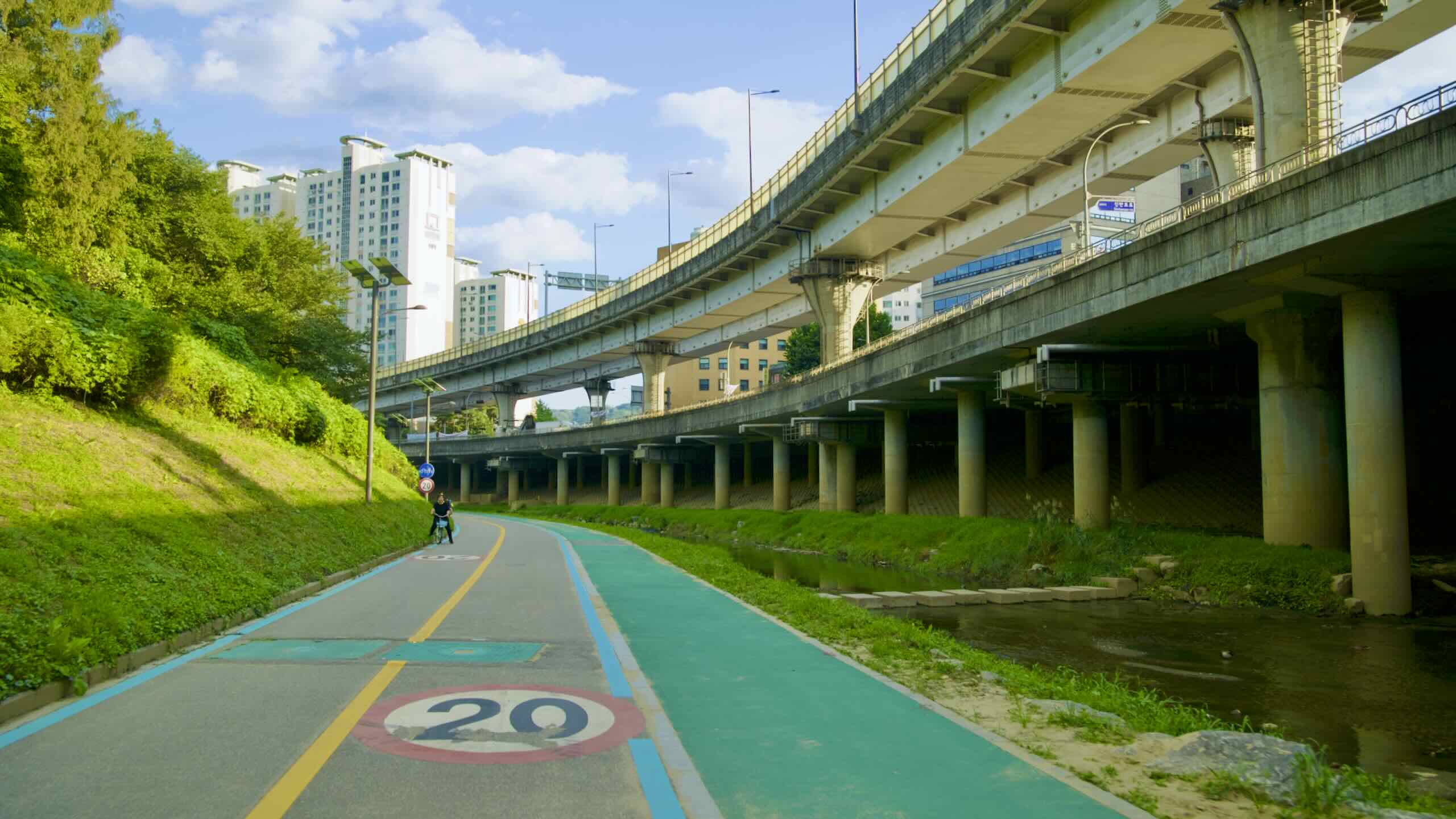
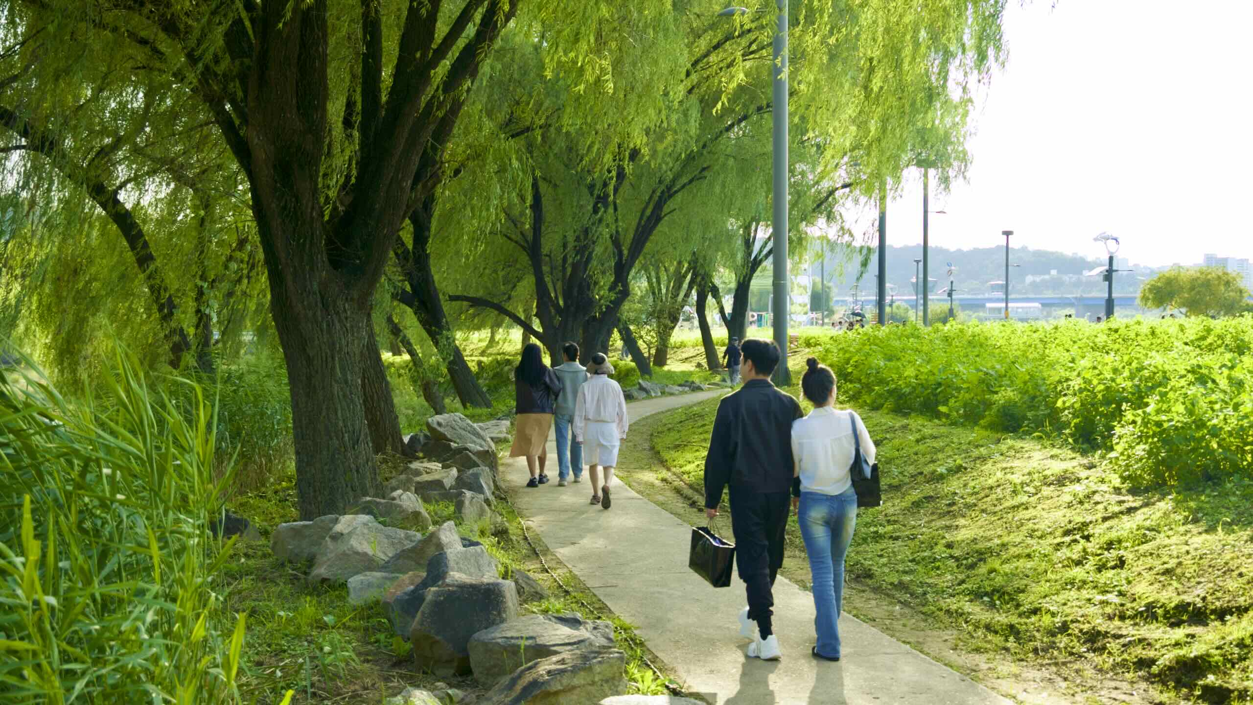
Pedal along the Banpo Park’s bike path. The next two kilometers zig and zag under Olympic Boulevard (directions).
The bike path’s opposing lanes often split to avoid the massive concrete pillars holding up the boulevard. In the shady overpass between live benches, public exercise equipment, and basketball hoops (road view). Tiered concrete steps and bathrooms provide path-side relief.
Atop a boulder-faced embankment perches Hyosa Pavilion (효사정; map). Its name translates to “filial piety.” One of King Sejong’s premiers built it to memorialize his departed mom.
Near the Subterranean Stretch’s end, the cycling path zips together and spills onto a teardrop knob of green along the river (aerial view).
Seoul National Cemetery
Have time for a 12 minute, 1.3-kilometer detour? Before you leave the subterranean stretch, find a small concrete offramp that sits under the last Olympic Boulevard overpass (road view).
Head up it (directions). Hop over, then down Hyeonchung Road (현충로; map). Arrive at an entrance featuring a grand fountain and sculpture (road view).
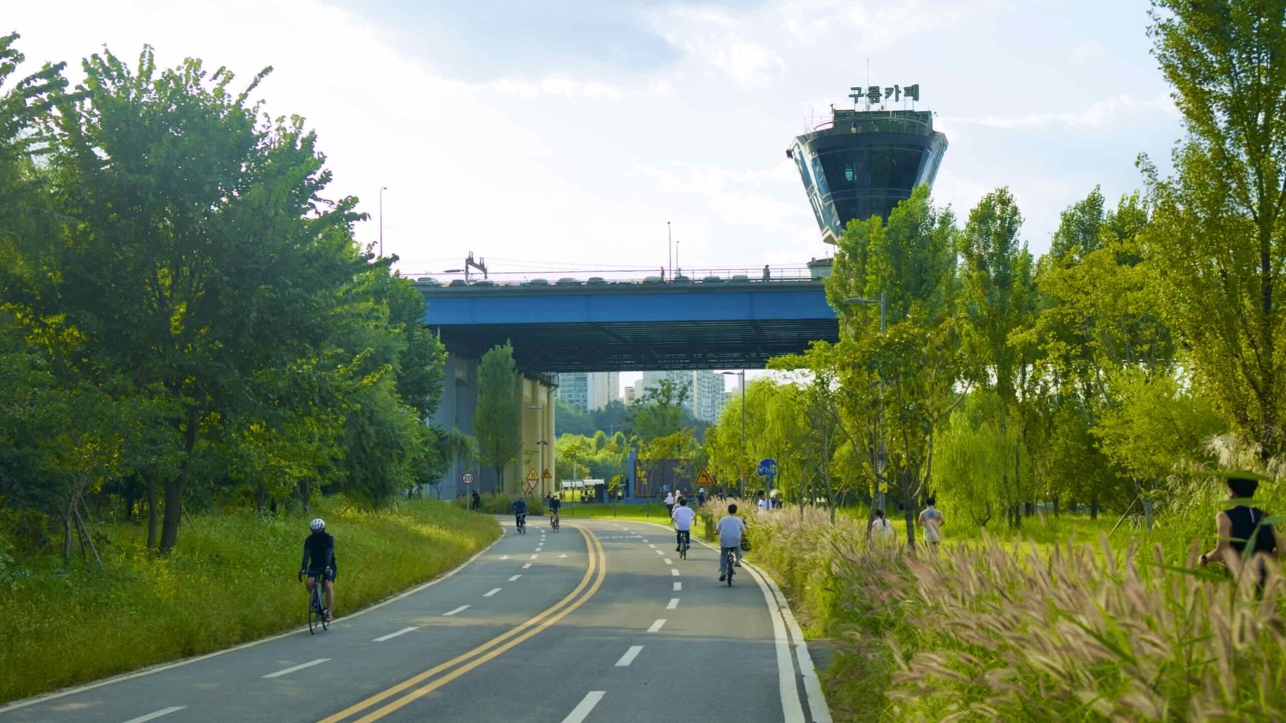
Back to the bike path. Cycle through the knob of green just past the subterranean stretch. Pass swaying trees and awning-topped benches and come to the observatory-topped Dongjak Bridge (동작대교; map; an okay crossing point).
Just fore the bridge, cross a low bridge over Banpo Stream (반포천; map; road view). On Seoul’s south side, the stream separates the city’s eastern and western halves. Cross it, leave Dongjak District, and enter Seocho, the first of three money-soaked Greater Gangnam districts.
A T-intersection sits on the other side of Banpo Stream (road view).
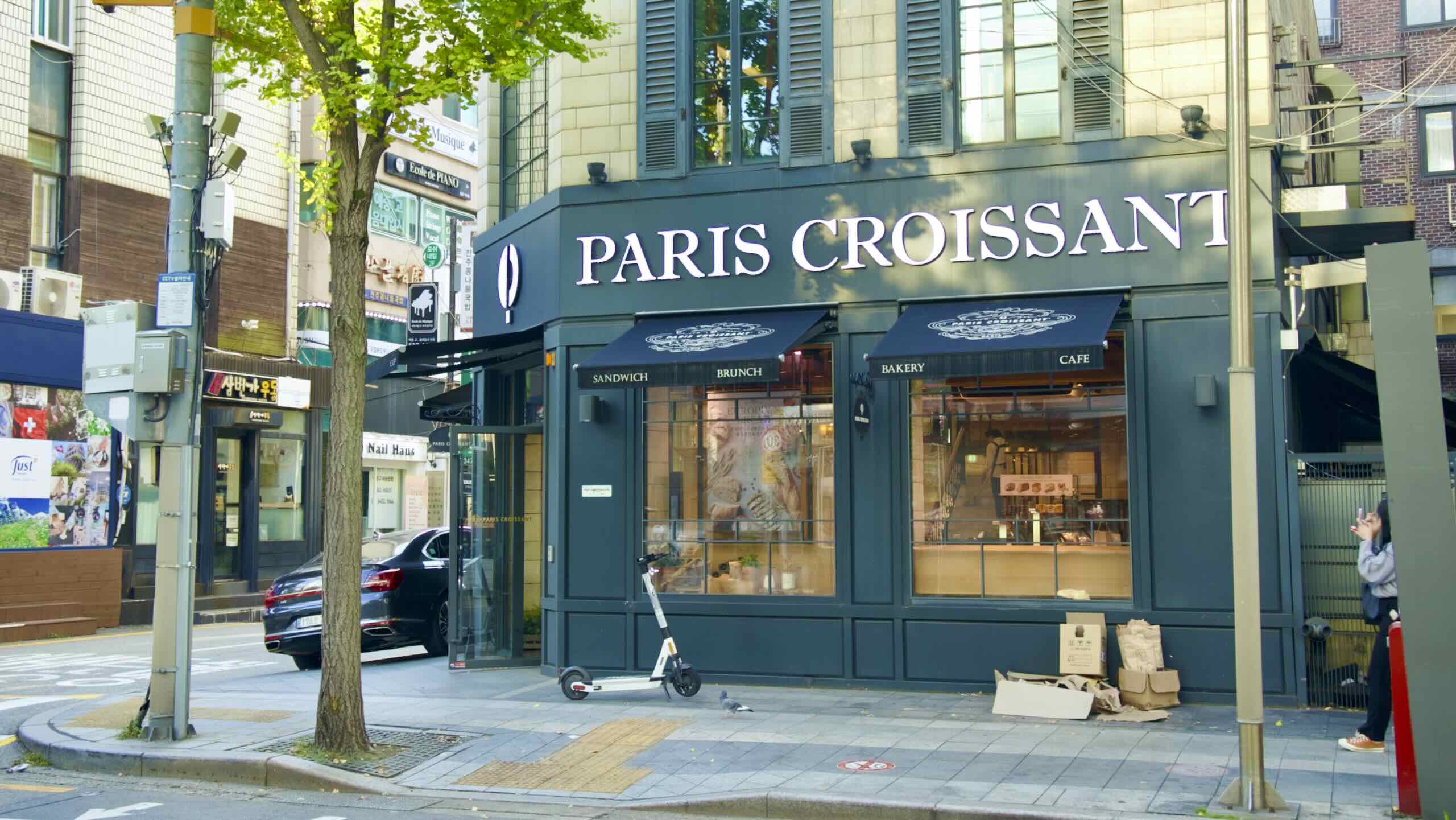
Smell that? Steaming baguettes. Here that? Accordion notes drifting from inside the city.
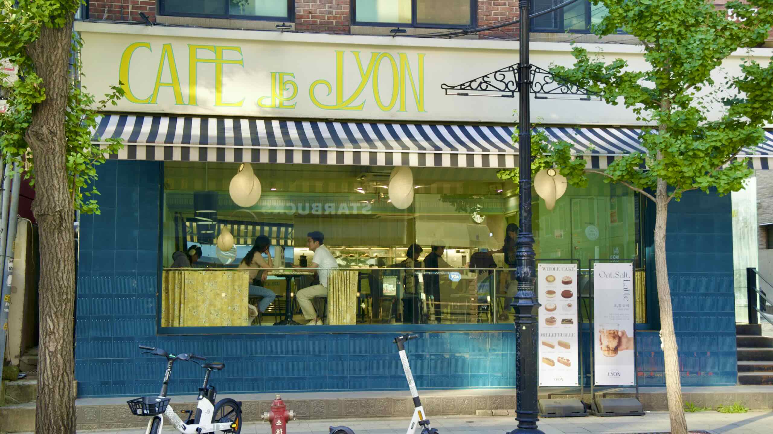
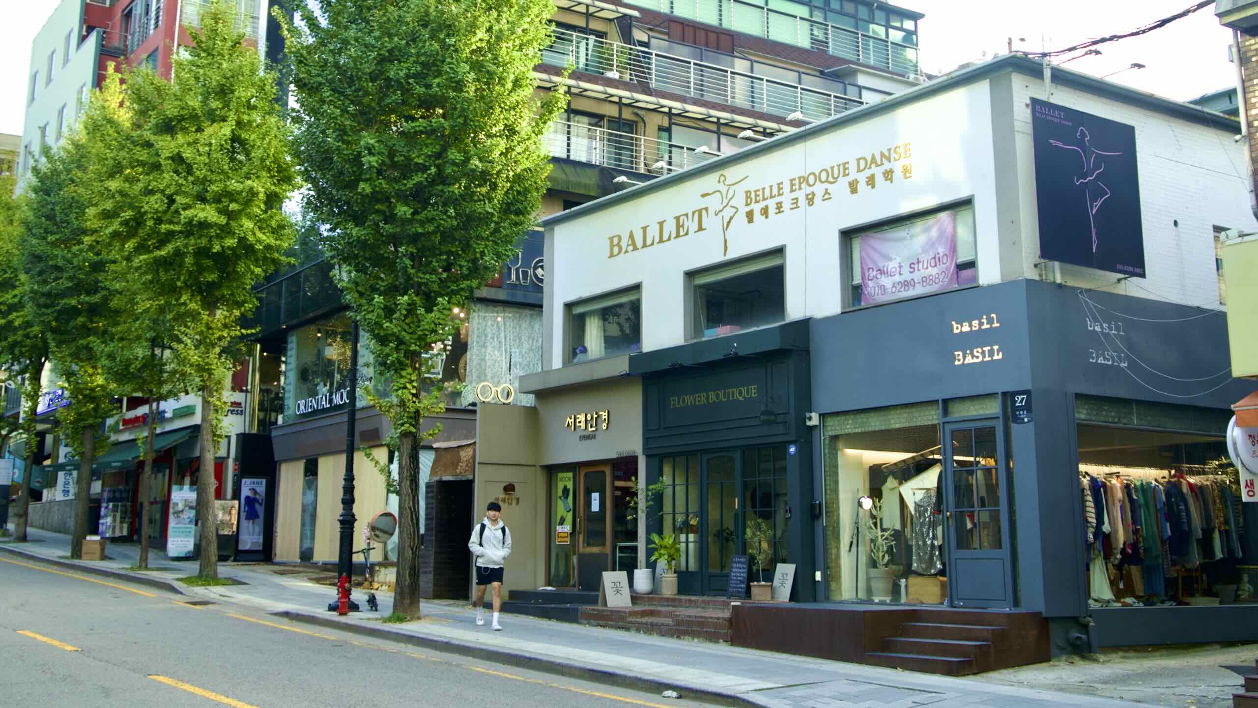
Have time to spare? Take a 10 minute, 1.5-kilometer trip inland and discover Seorae Village (서래마을; map; directions).
Occupying a small hill in the Banpo Neighborhood (반포동; map), it gained its character after the French School of Seoul (서울프랑스학교; map; Lycée français de Séoul) opened in 1985. It taught the children of Seoul’s French workers in their native language.
Almost half of Korea’s French expats live, shop, and dine on Seorae’s streets. Local businesses cater to the discerning palates of these homesick souls, including:
Back on the Han River, just beyond Banpo Stream, rises Dongjak Bridge. It shoots over the Han River from the Seocho District to the Yongsan District on the North Side.
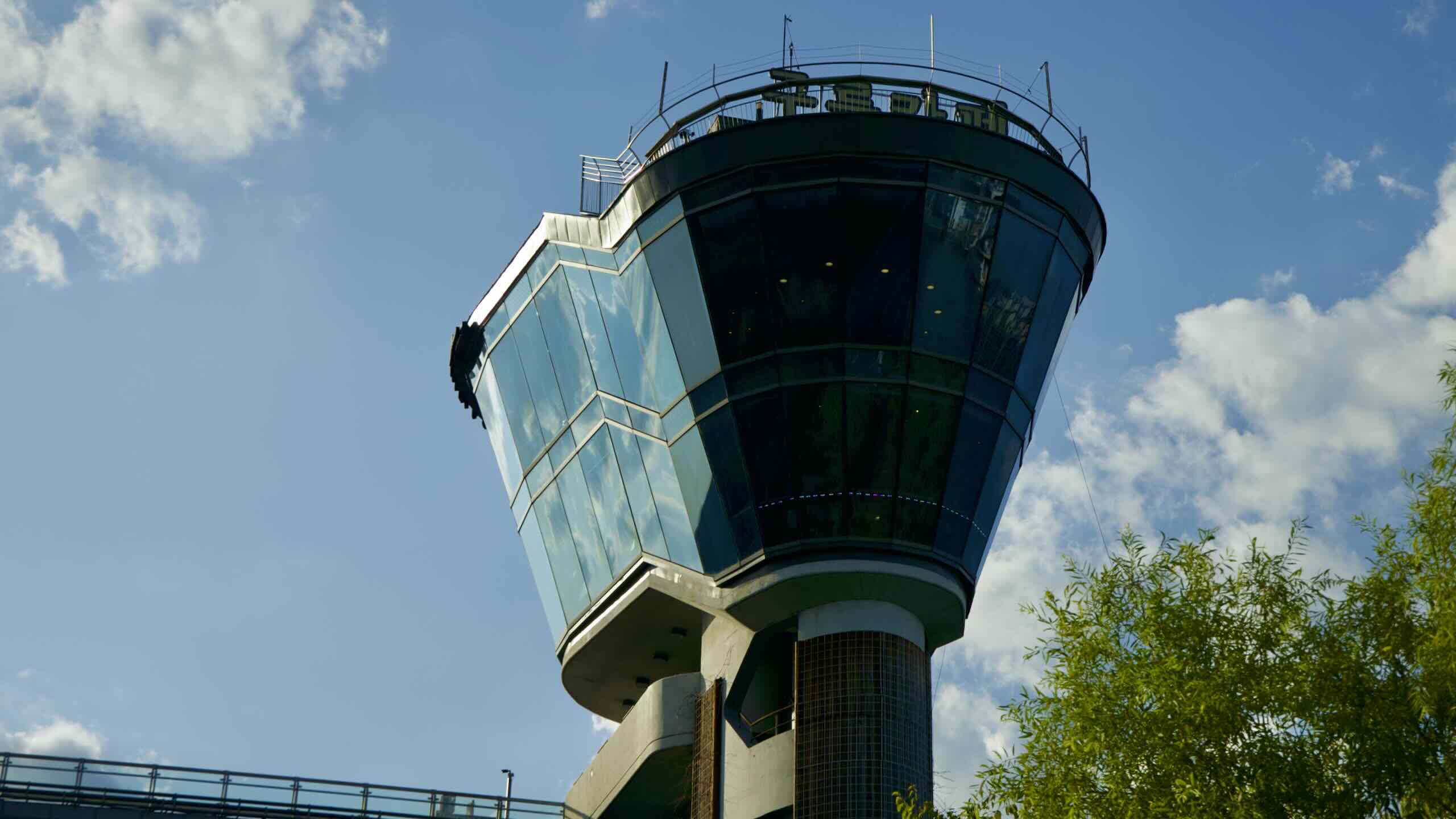
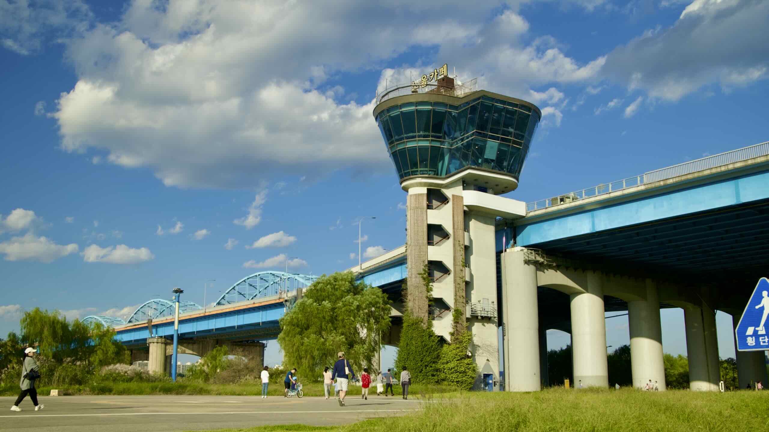
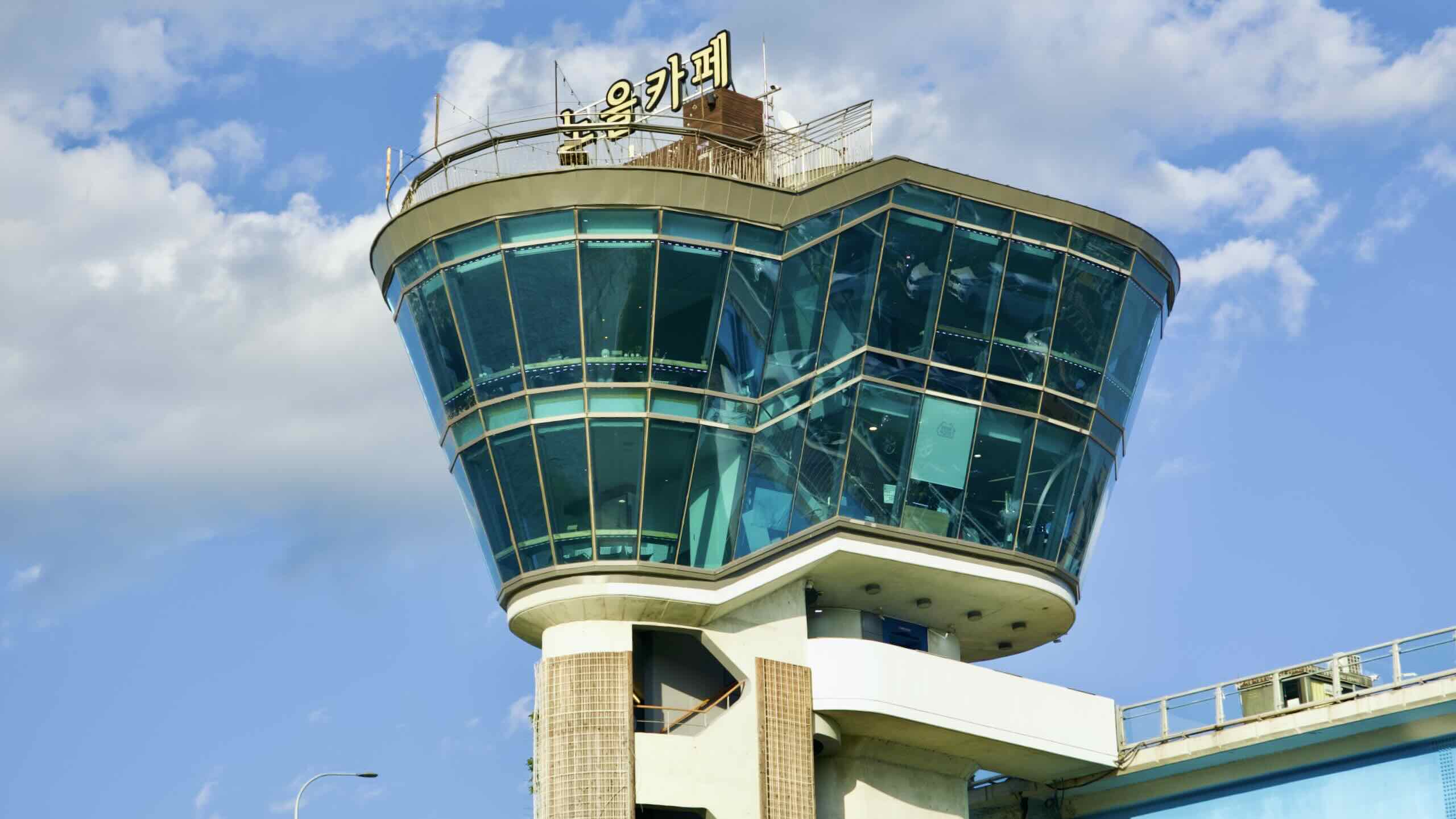
Fixed to the bridge’s side, find a tower with zig-zag stairs leading to a glass tulip top (road view). That’s Sunset Café (동작 노을카페; map), another Han River bridge observatory. Ride under Dongjak Bridge and peep the Cloud Café (동작 구름카페; map) on the east side.
The observatories mirror each other. Same design. Both open from 12 PM to 12 AM. Each offers a convenience store, café & lounge, and rooftop deck.
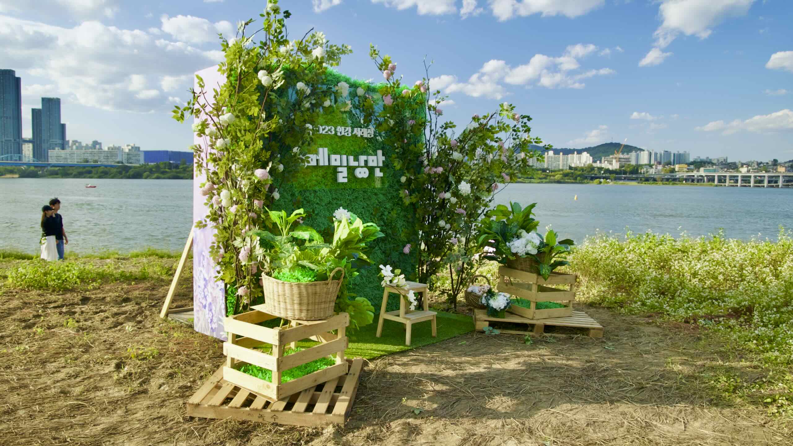
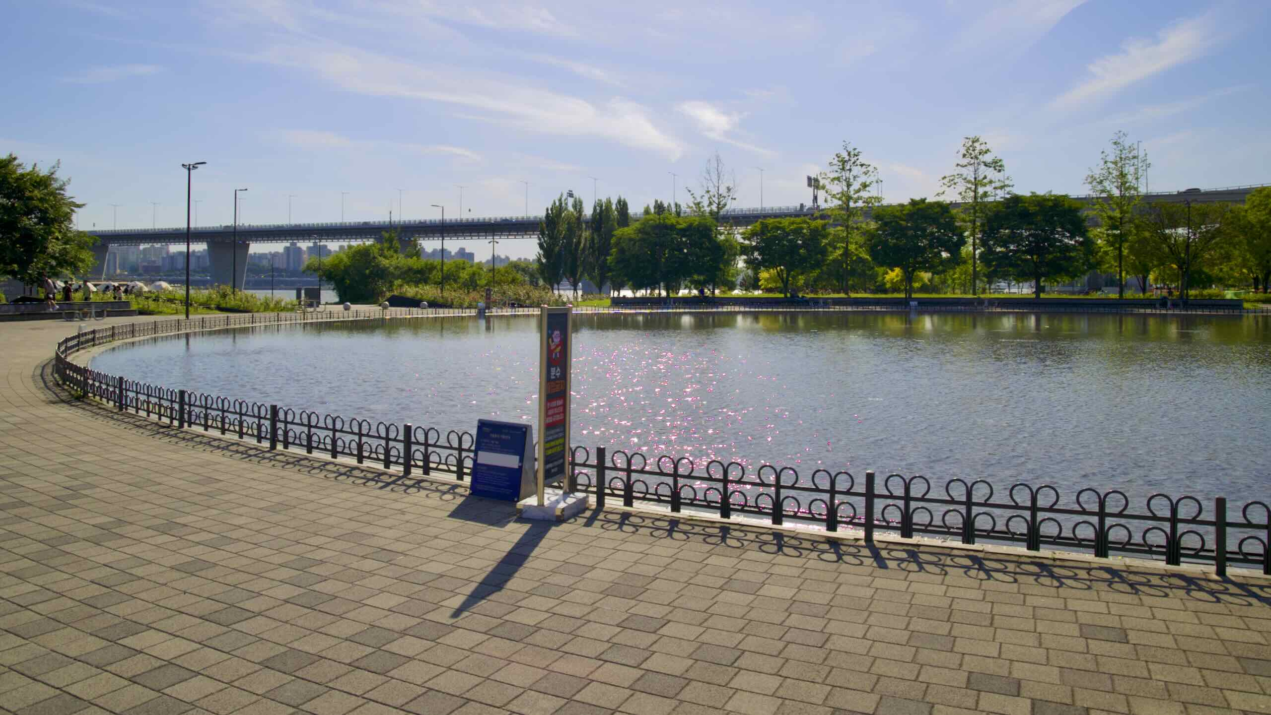
Cycle under Dongjak Bridge and along a green stretch. Just off shore, three walking bridges hop a Han River back channel filled with carp (road view). They connect to the key-shaped Seorae Island (Seorae-seom; 서래섬; map; aerial view), which rests in a groove on the south bank of the Han.
When engineers built Olympic Bridge (올림픽대교; map) a few kilometers upstream in the 1980s, they took the silt dredged from the riverbed and formed Seorae Island.
Today, the island remains unfurnished. Cross onto it and discover walking paths between willow trees, and yellow canola flowers and fluttering butterflies in the springtime.
Warning! Leave your bike ashore. It’s not allowed.
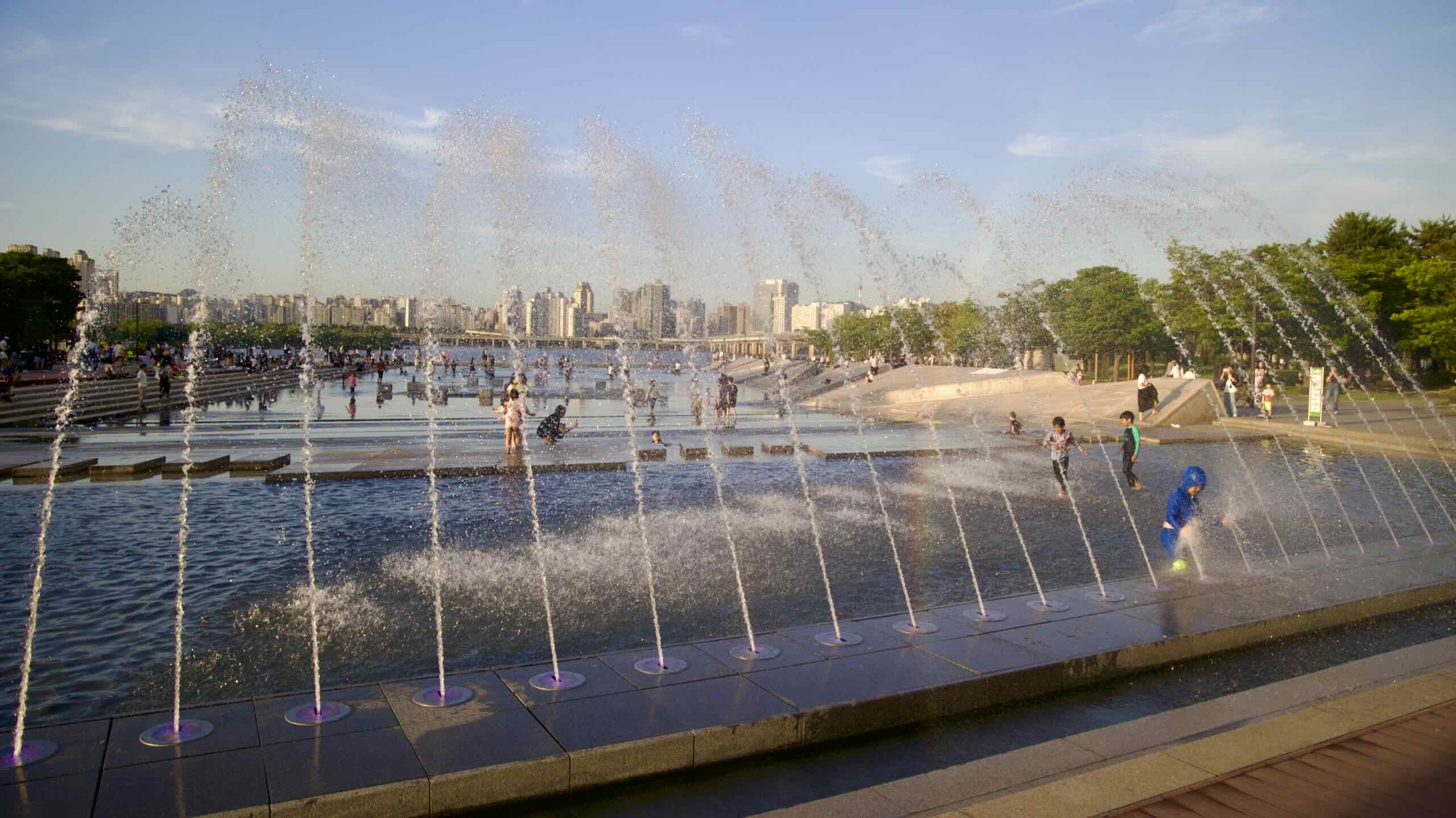
Banpo’s Big Finale
Pumps under Banpo Bridge suck up river water and spray them through nozzles attached to the top deck.
Wind past Seorae Island through Banpo Park’s curvy bike road.
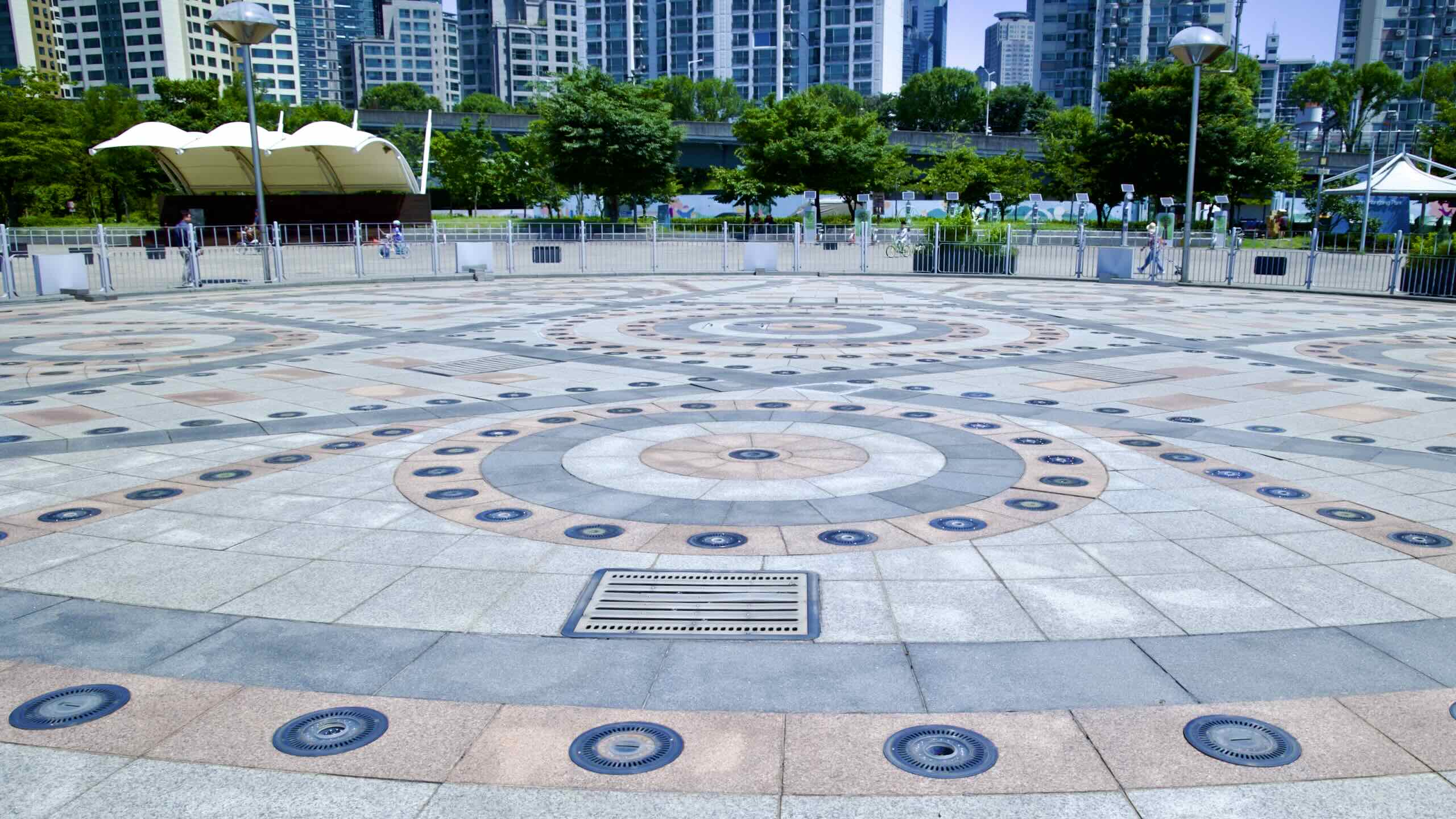
Arrive at an amphitheater courtyard (road view). Stand atop it and scan the horizon. Find one of the most picturesque panoramas in the Hangang Park system.
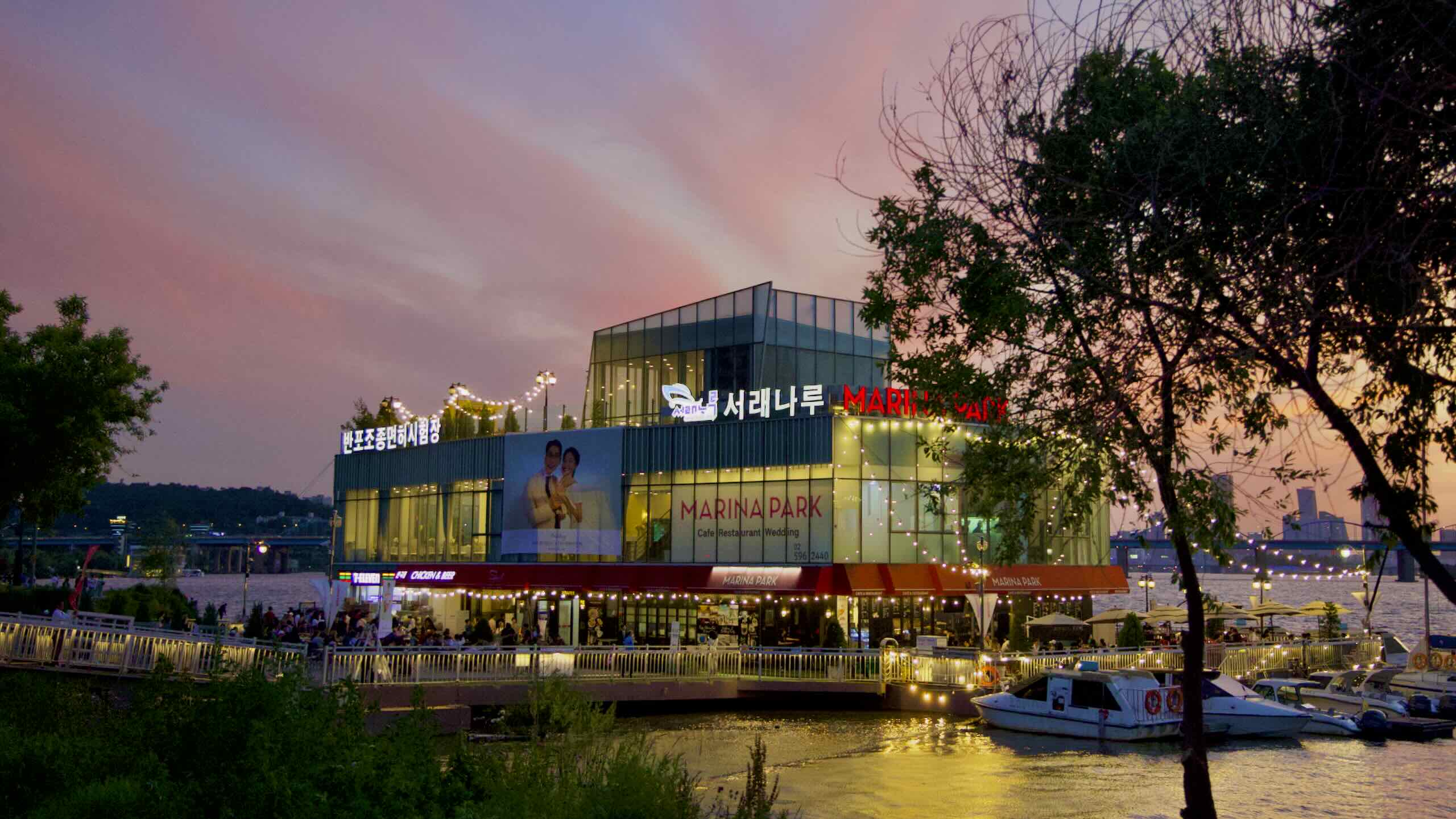
To your left floats Marina Park (마리나파크; map). It hosts the Seorae Water Taxi Stop (서래나루), 1st floor restaurant, 2nd floor wedding hall, and rooftop garden.
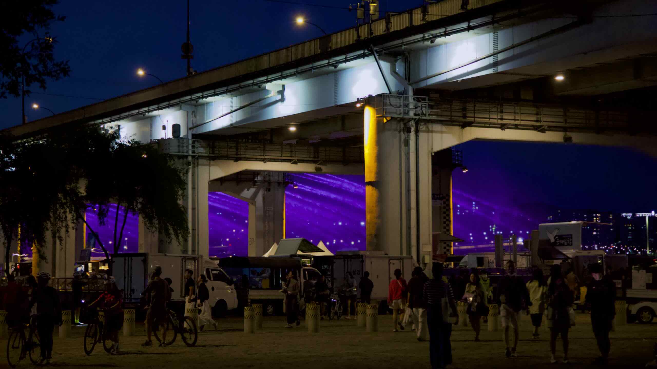
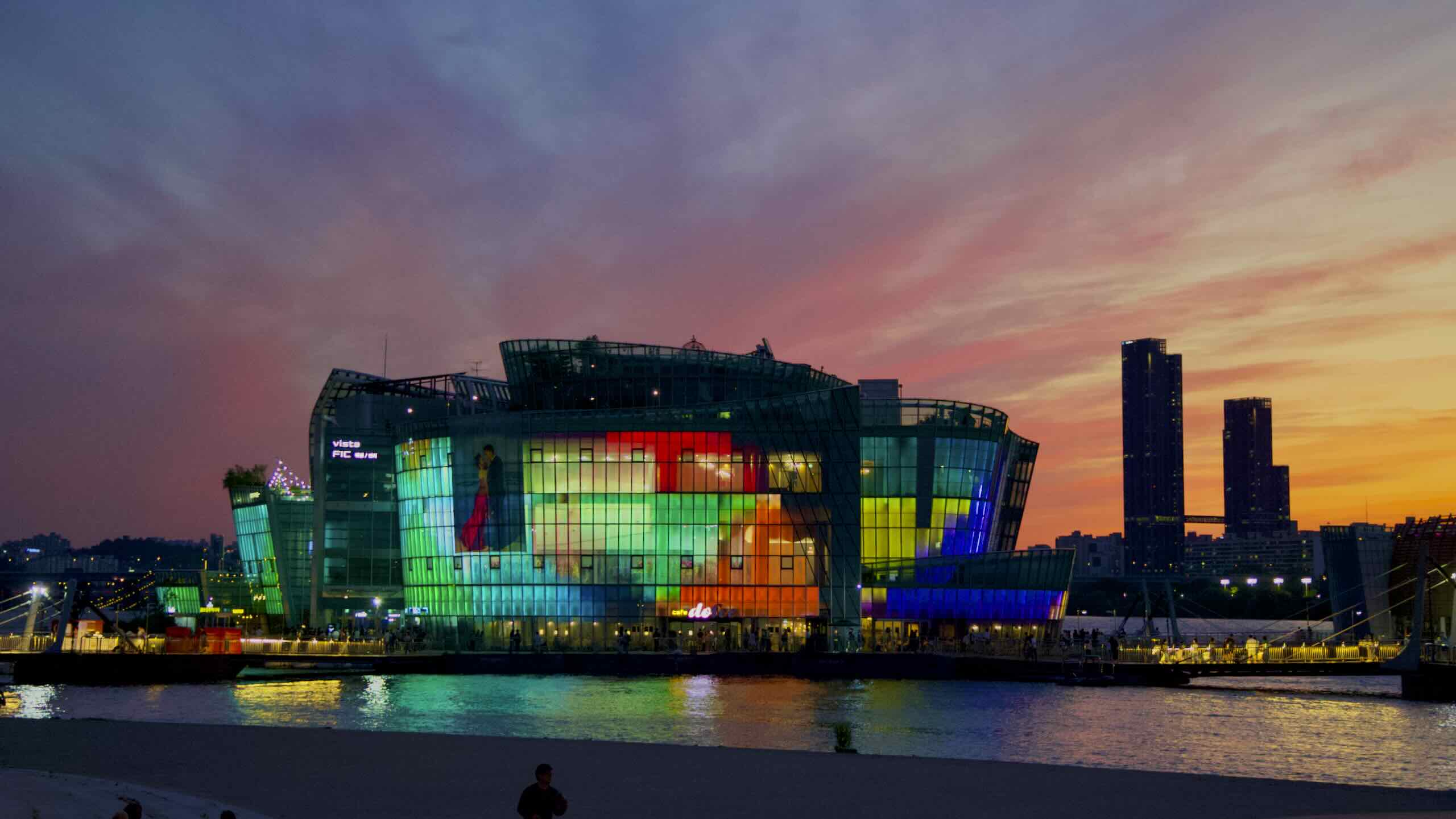
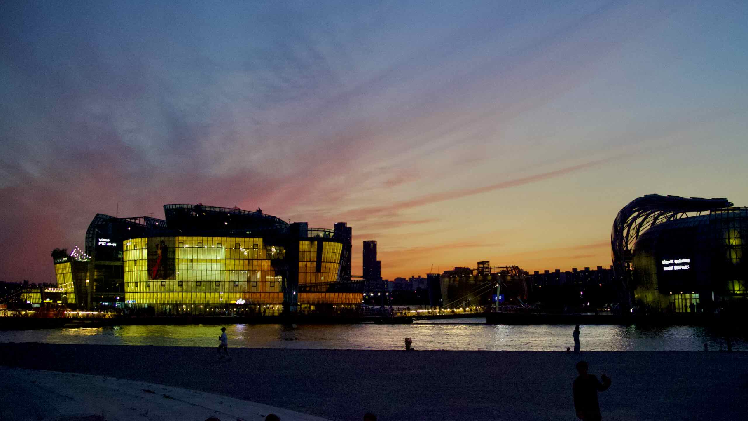
Scan right. Find Some Sevit. It includes a giant, shore-side screen and a trio of hulking metal and glass islands. More below.
Glance right once more. Spot Banpo Grand Fountain Bridge. It hosts a car-only top deck and bottom deck filled with walking, cycling, and vehicle lanes. Oh, and it’s the world’s largest fountain bridge. More below.
Visit Some Sevit during the day. Stroll its walkways between buildings moored to the riverbed. Marvel at the molded steel and glass-flower structures. Hop inside and discover convention centers, restaurants, retail shops, and more.
Where’s the “light?”
Come at night. Those same buildings bloom and radiate rainbows of color over the Han River.
Grand Fountain Bridge? Sounds royal. It deserves the prestige. Let’s glance at its resumé:
It’s the world’s longest fountain bridge.
It’s the Han River’s only double decker bridge.
Fountain Bridge
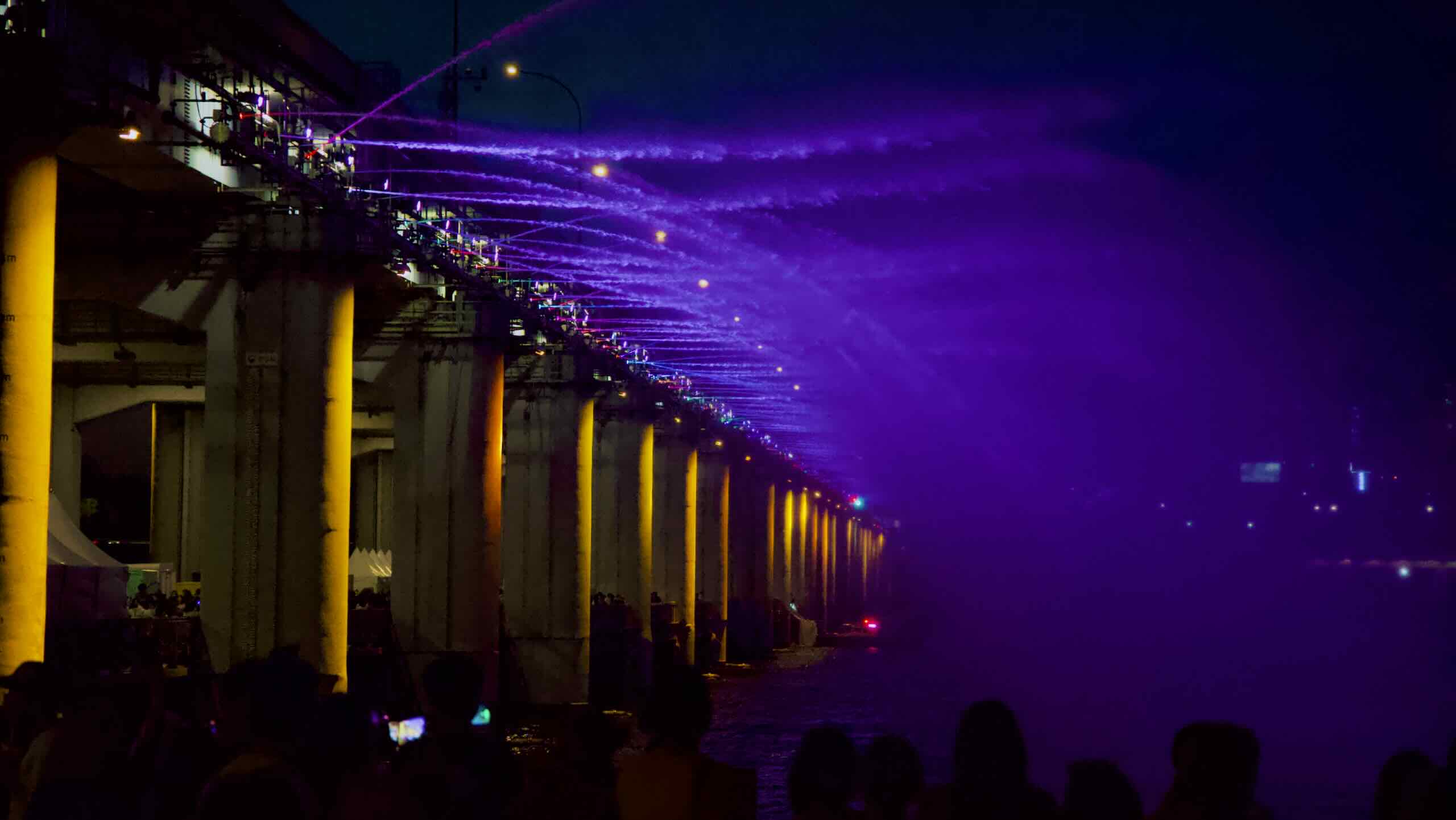
Five to six times each day, pumps beneath Banpo Grand Fountain Bridge suck 190-tons of river water per minute. Then, 308 jets mounted to the bridge’s top deck shoot it into the air, creating patterns in a music-enhanced, 20 minute water dance (video).
At night, lights under the jets toss color into the spray and bring polychromatic flare to the Han River.
Double-Decker Bridge
Banpo Grand Fountain Bridge sports an upper and lower deck.
The top deck carries cars between the river’s upper banks.
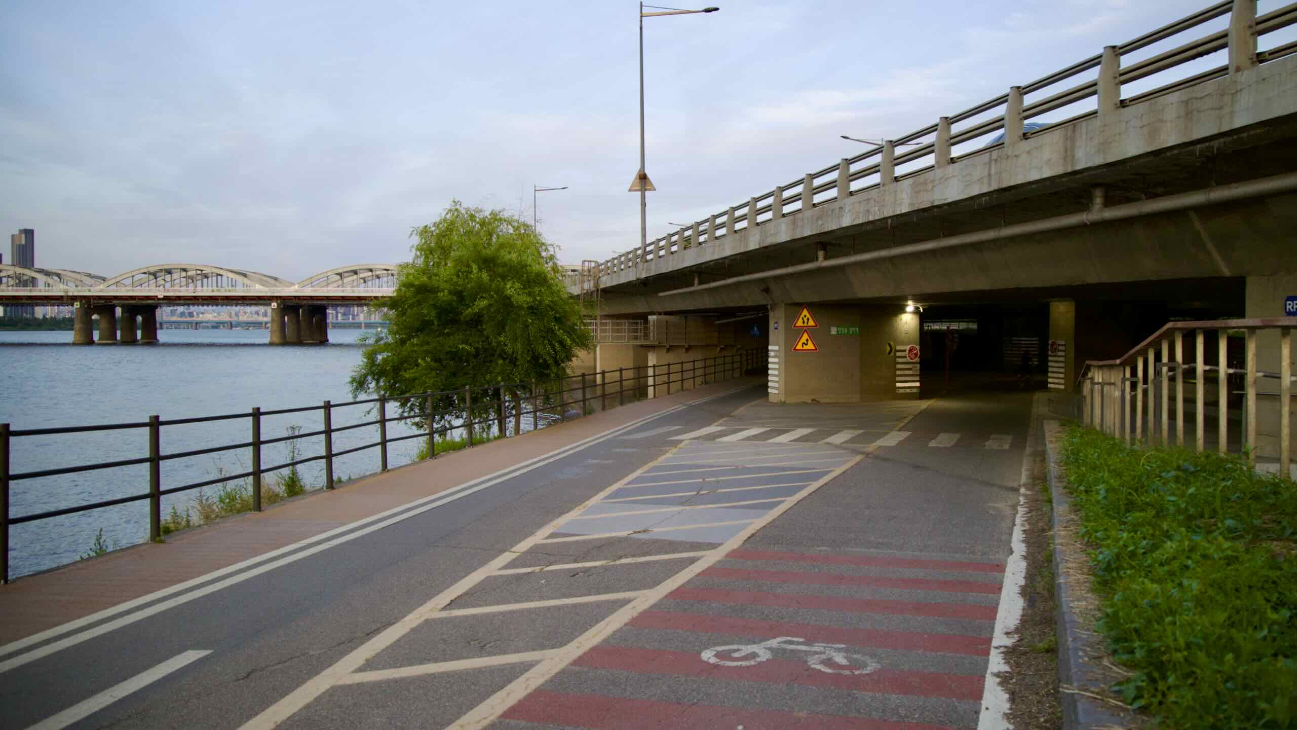
The bottom deck holds six traffic lanes: two for pedestrians, two for bikes, and two for vehicles (road view).
Yeah, yeah, yeah. Some bridges have ramps and elevators. But none have a water-level bottom deck that directly connects North Side and South Side bike paths, like Banpo Bridge (반포대교; map).
Want to cross? Take a left onto Banpo Bridge’s bottom deck (road view). Seven-hundred meters later, land in Ichon Hangang Park. A straight shot.
The Hangang Park System holdsseven fountains. Depending on the weather, most run every two hours starting at noon. At night, the water shows include colored lights and music.
Need to exit Seoul with your bike? Along with Dong (East) Seoul Bus Terminal, Seoul Express Bus Terminal’s intercity buses are the best way to move around Korea. Just buy a ticket, stick your bicycle in the bus’s undercarriage, and head off to distant lands.
Banpo Bridge separates sprawling courtyards in Banpo and Jamwon Hangang Parks.