
Bike Seoul to Yeoju

Welcome to the rest of the Hangang Bicycle Path.
Bike Seoul to Yeoju forms the second of a three-leg cycling tour down the South Han River. Seoul’s North Side and South Side traversed the first leg. Ride Yeoju to Chungju conquers the last leg.
In this section, you’ll leave the big city and explore a decommissioned rail line, a handful of magnificent weirs, and sail through old train tunnels. End at the royal tomb of Korea’s most important historic leader.
Let’s begin where we left off.

Paldang Bridge
Paldang Bridge (팔당대교). Seoul’s North and South Side Bike Paths conclude here.
Took the North Side? You’re on the correct side of the Han River (한강).
Took the South Side? Then cross Paldang Bridge from Hanam City (하남시) and arrive in Namyangju City, another one of Seoul’s satellite cities, or “bed towns.”
High-rise apartments filled with folks swell most cities surrounding Seoul in Gyeonggi Province. And a handful of cities contain over a million souls, meaning they’re eligible for the self-autonomous “Metropolitan City’‘ status.
Namyangju isn’t one of those cities. Because of Seoul’s greenbelt — a ring of land around the capital, off-limits to urban developers — farms and parks claim much of the city’s 458 square kilometers.
One result of Namyangju’s restrictions: no downtown. Namyangju-ites spread throughout clusters of apartments and suburban outposts, tucked under hillsides, wedged between verdant valleys.
Valley of Green
East of Paldang Bridge, crowned by Geomdan Mountain (검단산; 658 m) in the south and Yebong Mountain (예봉산; 683 m) in the north, a verdant valley of mountain clusters unfurls before you.
Pedal onwards!
On the upper hillside above buzzes Gyeonggang Road (경강로), which carries vacationers from Seoul through Pyeongchang (평창군) — site of the 2018 Winter Olympics — to seaside Gangneung City (강릉시) along the Gangwon (East Coast) Bike Path.
Just above hangs Paldang Station (팔당역), a Gyeongui-Jungang Line (경의·중앙선) stop. This commuter rail runs from the DMZ (문산역), snakes through Seoul, and terminates two stations beyond downtown Yangpyeong.
Come weekend, Seoul cyclists stream from Paldang or any of the six other stations along this section of the Hangang Bike Path, ready for a countryside jaunt.
Roll along. A kilometer and a half down from Paldang Bridge (directions), the route slams into a bit of city; a distant outpost of Wabu Town (와부읍).
Follow the blue bike lines as they divert across streets and crawl under a Gyeonggang Road overpass (road view).
Hungry? Thirsty? Cafés and Korean chicken noodle soup spots litter the settlement around.
Ghost Rails
Beyond the roadway overpass, climb to the top of an embankment (road view).
Hate hills? Hairpin turns and dragged routes? Then thank those who came before.
Electrification

In the 2000s, Seoul electrified the Gyeongui-Jungang commuter rail line. That meant replacing old tracks with new.
In Seoul, where space was (and is) scarce, engineers painstakingly tore up old tracks and installed upgraded rail and electric gates.
Outside the capital, however, it was cheaper to purchase and clear new land, burrow fresh tunnels, and lay a new route.
The New Old
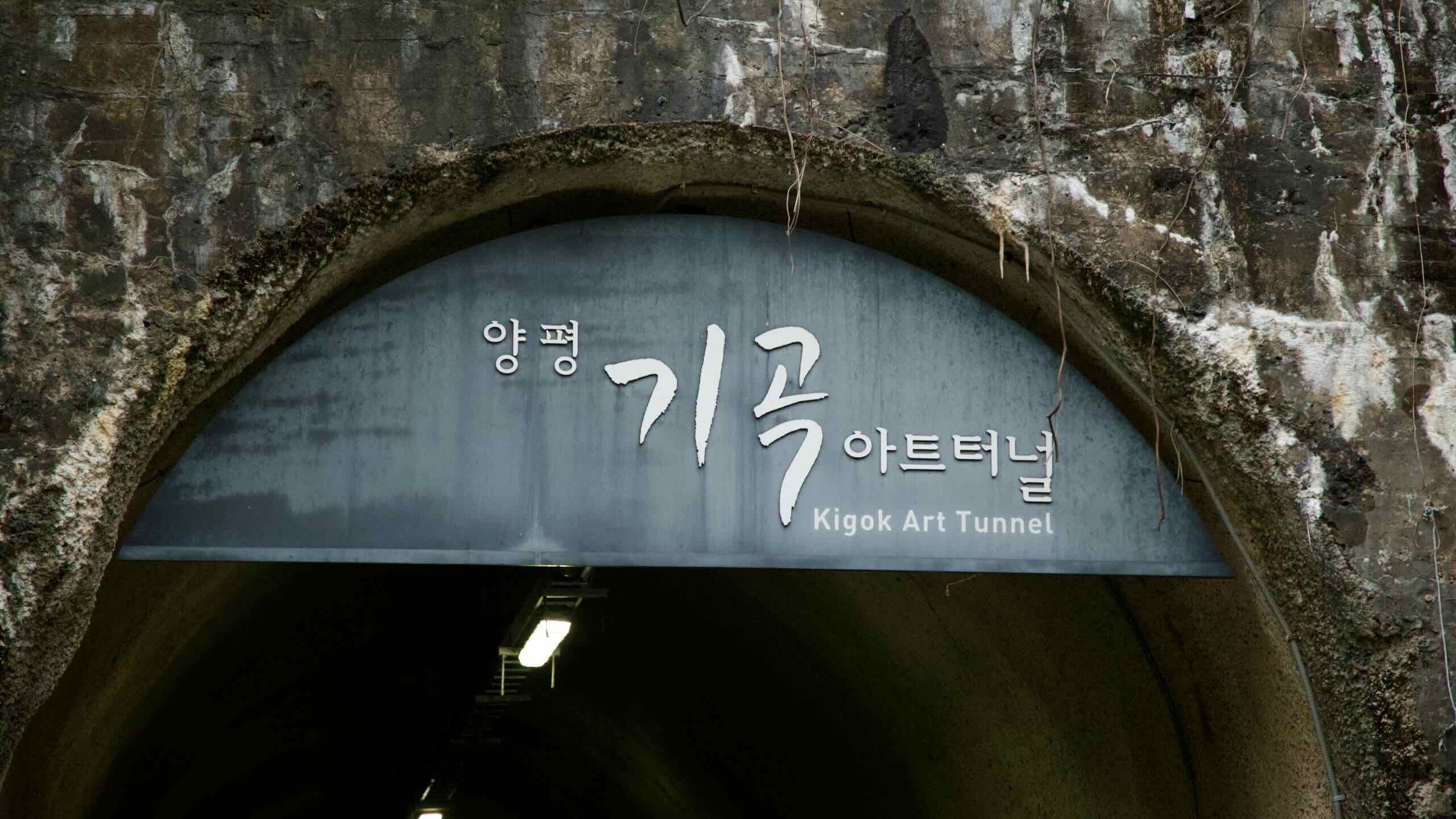
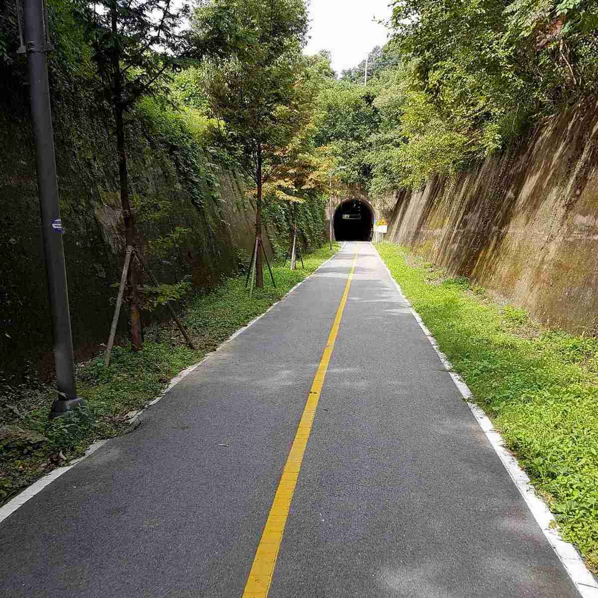
So what happened to the old railroad? You’re riding on it.
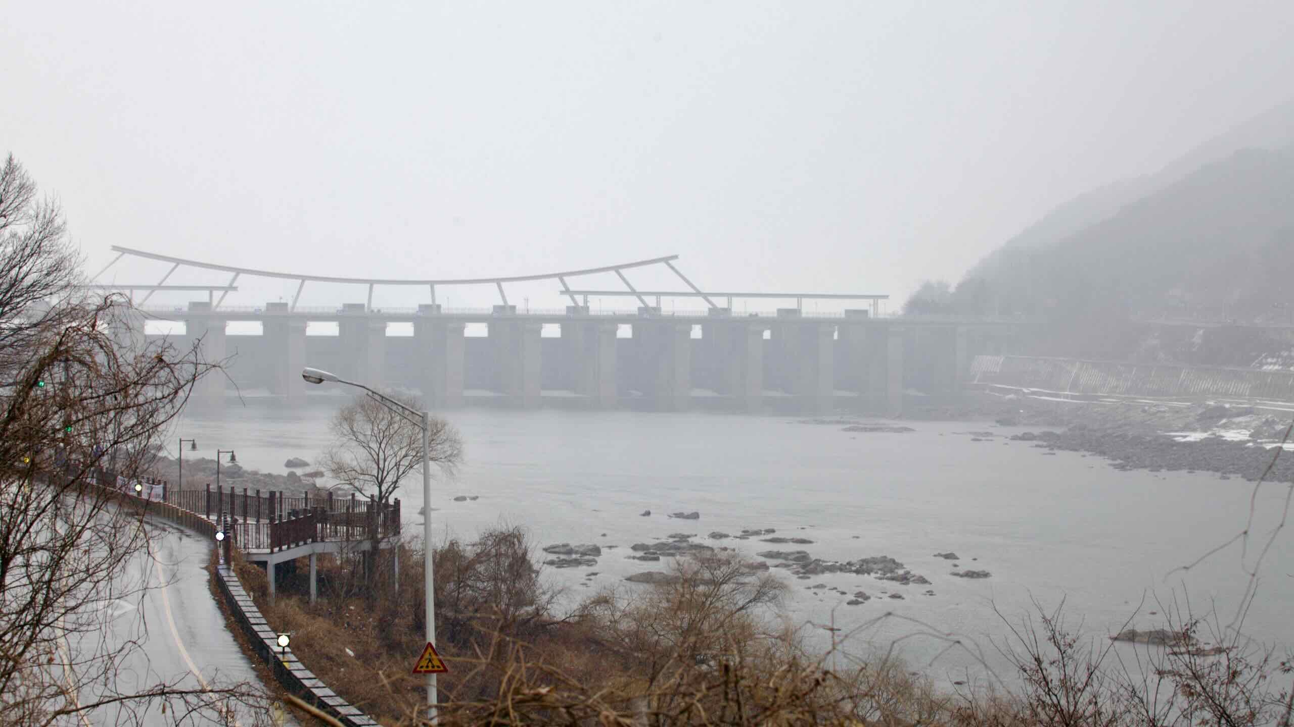
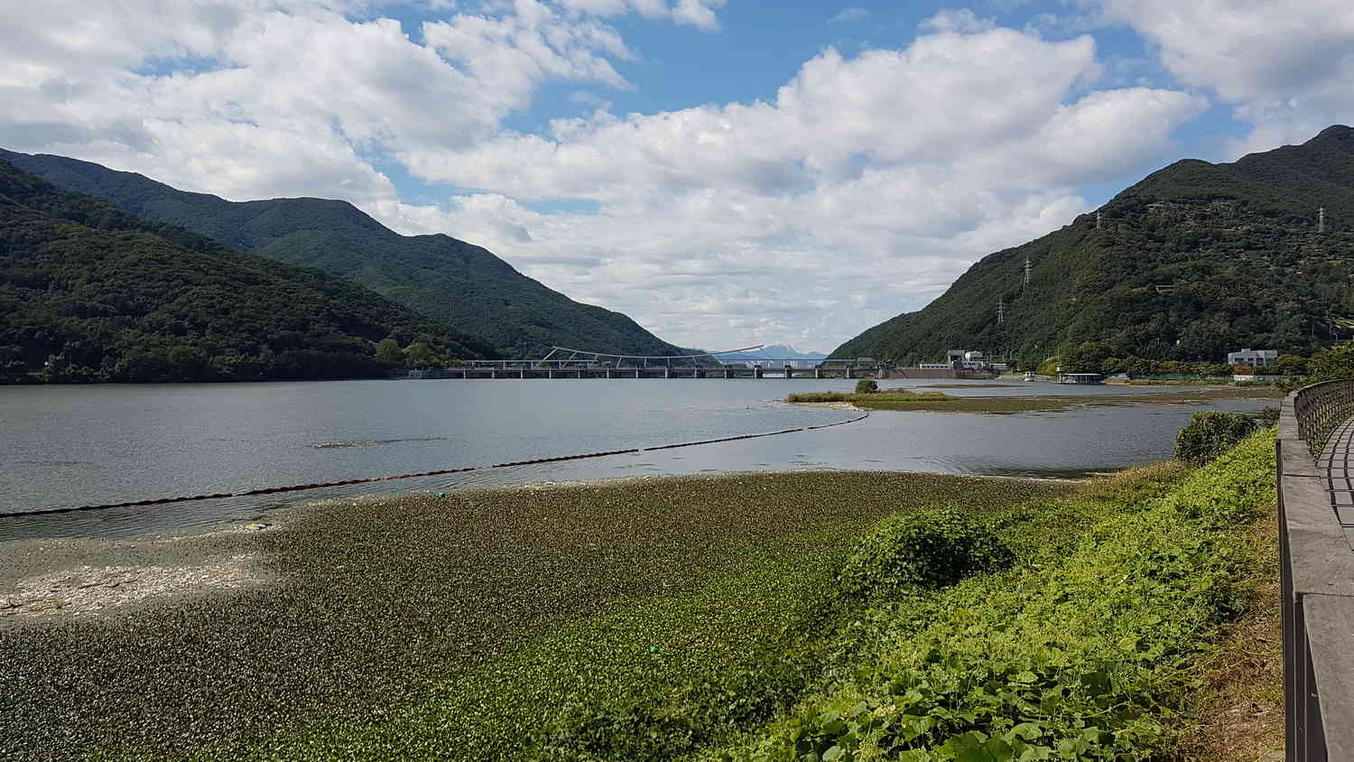
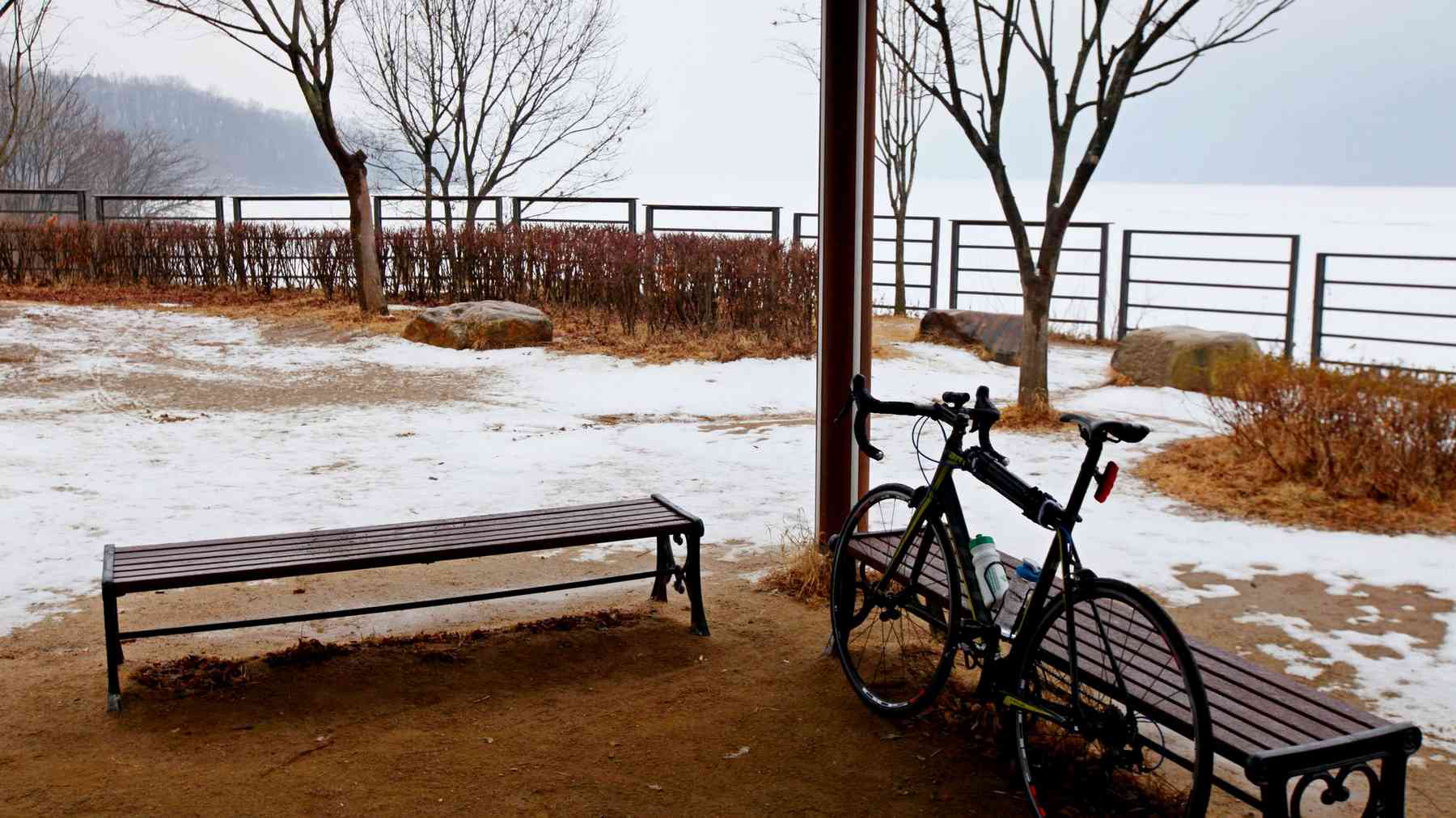
Namyangju City and Yangpyeong County installed bike paths along the old rail bed.
So instead of fatiguing your legs on Korea’s innumerable hills and peaks, the next 30 kilometers to downtown Yangpyeong navigate the efficient train route through old tunnels and around gentle bends (directions).
Paldang Dam
Atop the railroad embankment, keep those wheels turning.
Stop at one of the many rest stops and view the valley that no development can touch (road view). On sunny days, clouds smear shadows over their green slopes. In fog, tails of white wrap plump, earthy frames.
And, look! Over the horizon, Paldang Dam (팔당댐; road view), the Fortifications of Seoul.
Paldang, the Protector
Completed in 1973, this dam holds down two jobs.
- It stabilizes water flow.
- And it generates power.
Throughout Korean history, the Han River gave and took. It watered farmers’ crops and led ships to the Yellow Sea’s trade routes. But it also regularly washed away riverside settlements.
To stabilize the Han’s flow — prevent floods and droughts — engineers dropped a 29 meter tall, 575 meter wide curved wall twelve kilometers upstream from Seoul’s borders.
So if Paldang fails, not only does Seoul’s lights dim and tap run dry, Gangnam, Songpa, and every riverside district will transform into an above ground pool.
Today Paldang Dam sends 2.6 million tons of water per day and generates 338 gigawatts of electricity annually for the capital city.
(While the dam has a road across its top, only vehicles can cross when weekend traffic reaches apocalyptic levels. No bikes allowed.)
Paldang Lake
Just beyond Paldang Dam, roll upon the first of eight tunnels along the Bike Seoul to Yangpyeong route: Bongan Tunnel (봉안터널).
Ride into the hole carved into the hillside ahead (road view) and cruise through the naturally refrigerated burrow.
Pop out and find a genuine section of the old railroad track (road view) splitting the bike lanes over a short bridge.
As the bike path bends right, the trees recede and offer a glimpse of the reverse side of Paldang Dam and Paldang Lake (팔당호; road view).
When complete, the dam flooded the river valley behind it, creating a 244 million ton reservoir. The halted flow fomented algae blooms that starved the water of oxygen, killing river critters.
So while the dam made life comfortable for downstream humans, upstream ecosystems received the sharp end of the progress stick.
Become a member or login to your account to read more!
Become a Korea by Bike member and get exclusive and ad-free content.
- Day-Trip Membership ($5) — three months of access.
- Touring Membership ($9) — six months of access.
- Endurance Membership ($20) — two years of access.
- Grand Slam Membership ($30) — lifetime access.
Subscribe for updates.
Day-Trip Membership — 3 months
Touring Membership — 6 months
Endurance Membership – 2 years
Grand Slam Membership — Lifetime


