The opening section of the Jeju Fantasy Bicycle Path flows begins in downtown Jeju City (제주시; map) at the top of Jeju Island. It then circles westward along the coast and ends in Daejeong Town (대정읍; map) in Seogwipo City (서귀포시; map).
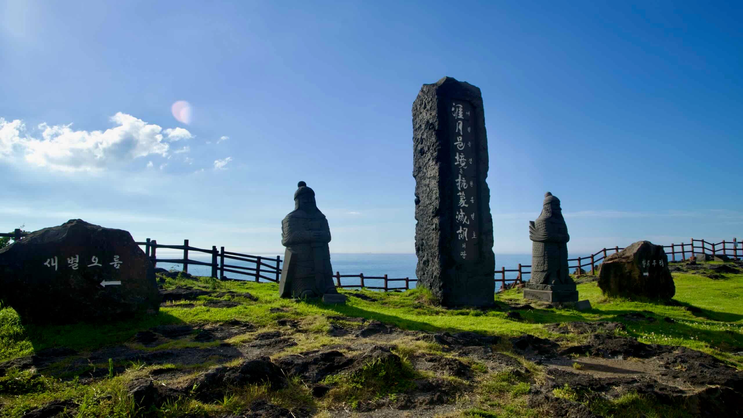
The Jeju Fantasy Bike Path begins at Yongduam Rock, a famous rock formation on the island’s north coast, and follows scenic roads past tranquil beaches and clifftop parks.
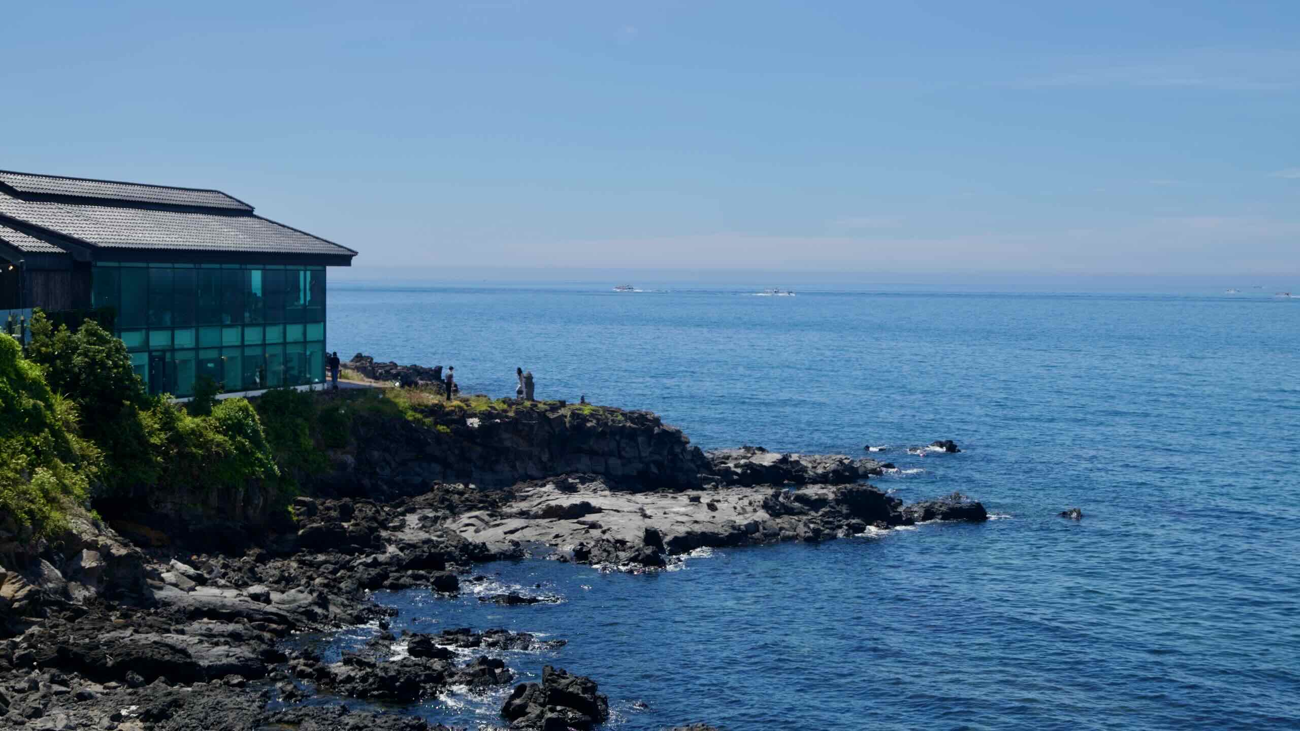
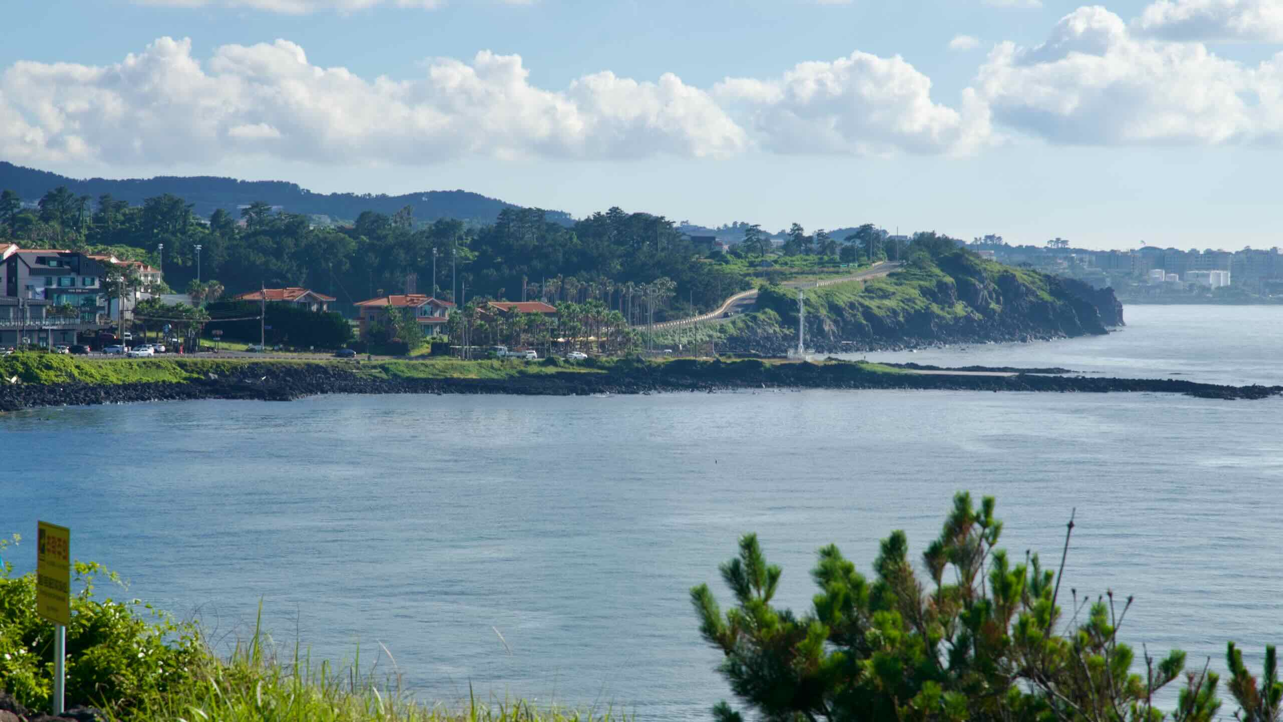
The park sits inside Yongyeon Valley (용연계곡; map), where a 700-meter freshwater stream meanders through steep, rocky crevices before meeting the Korea Strait.
The park’s centerpiece is the 42-meter-long, 2.2-meter-wide Yongyeon Cloud Bridge (용연구름다리; map). This swaying suspension bridge spans the valley and features colorful shifting LEDs each night. In summer, the pond hosts a floating musical concert that recreates Joseon-era moon-boat parties.
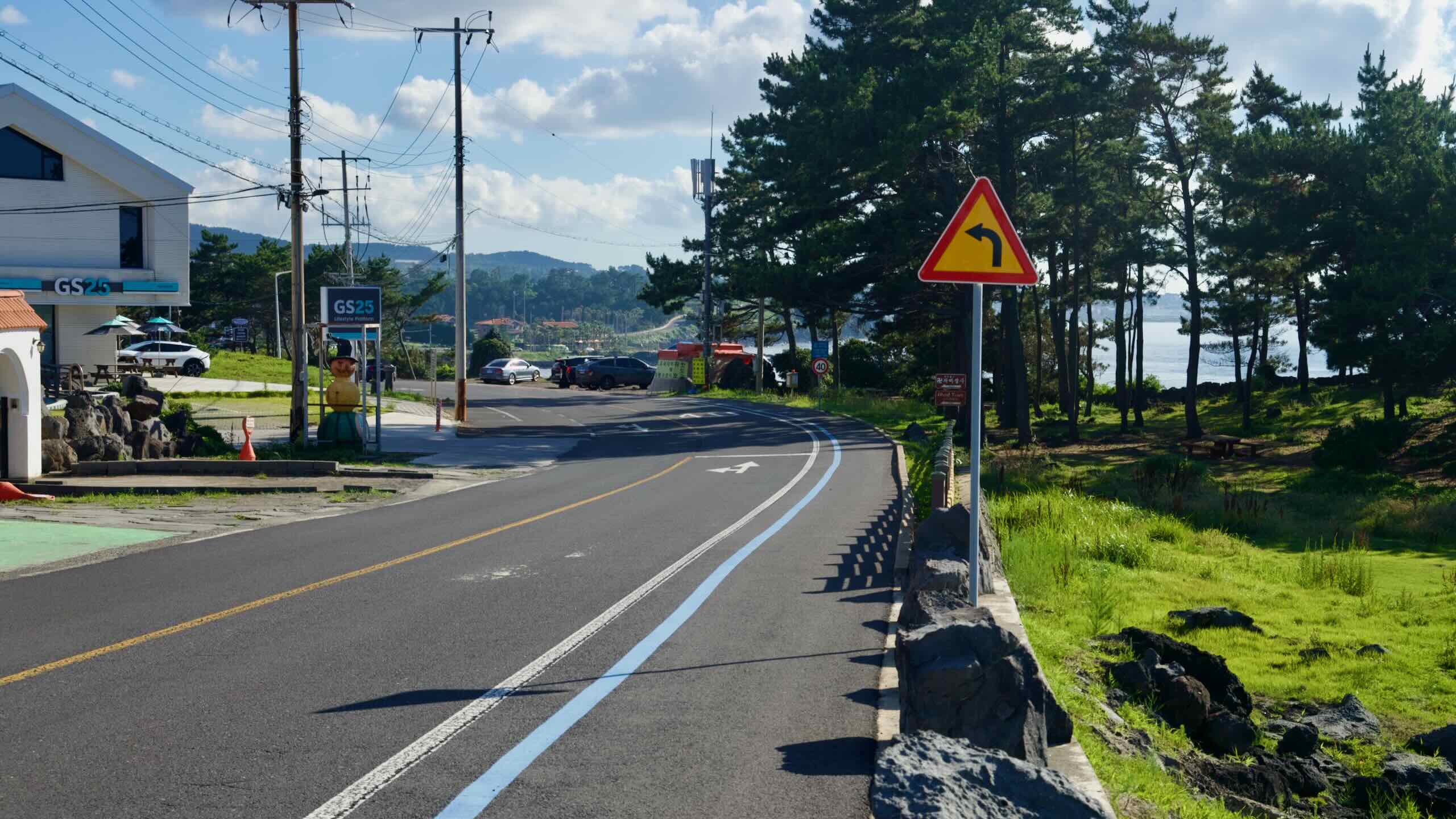
Push off from the valley and head west. Follow the road between the sea and Yongdam Park. Climb a short embankment and cruise the raised road until you spot a mermaid sculpture in a small courtyard beside a yellow souvenir shop (road view). Hop off your bike and clamber onto a viewing deck overlooking Yong Du Am Rock, the first highlight on the Jeju Bike Path.
Carved from an ‘aa’ basalt flow, Yong Du Am Rock (용두암; map; “Dragon Head Rock”) rises 10 meters above the surf a few kilometers west of Jeju International Airport. Legend says the dragon was frozen as punishment for stealing a precious jade from Mount Hallasan.
The rock formed when lava hardened instantly in seawater, creating clinker layers. Waves then sculpted today’s unique profile.
Grab your stamp and keep pedaling. Trace the coastline, where rocky outcrops formed as oreums spilled lava into the sea long ago.
Pass Yongdam Sports Park (용담레포츠공원; map) and the small Yongdam Port (용담포구; map). Enter a coastal stretch just behind Jeju International Airport, one of South Korea’s busiest hubs.
The airport handles millions of domestic passengers each year—many on the short hop between Jeju and Seoul, one of the world’s most heavily traveled air routes.
The airport’s main runway is famously short by international standards, so aircraft often perform steeper takeoffs and landings than at other major hubs.
Inside, the airport hosts exhibitions on Jeju culture, sells local specialties like hallabong oranges and tangerine chocolate, and—on clear days—offers views of Hallasan from certain gates.
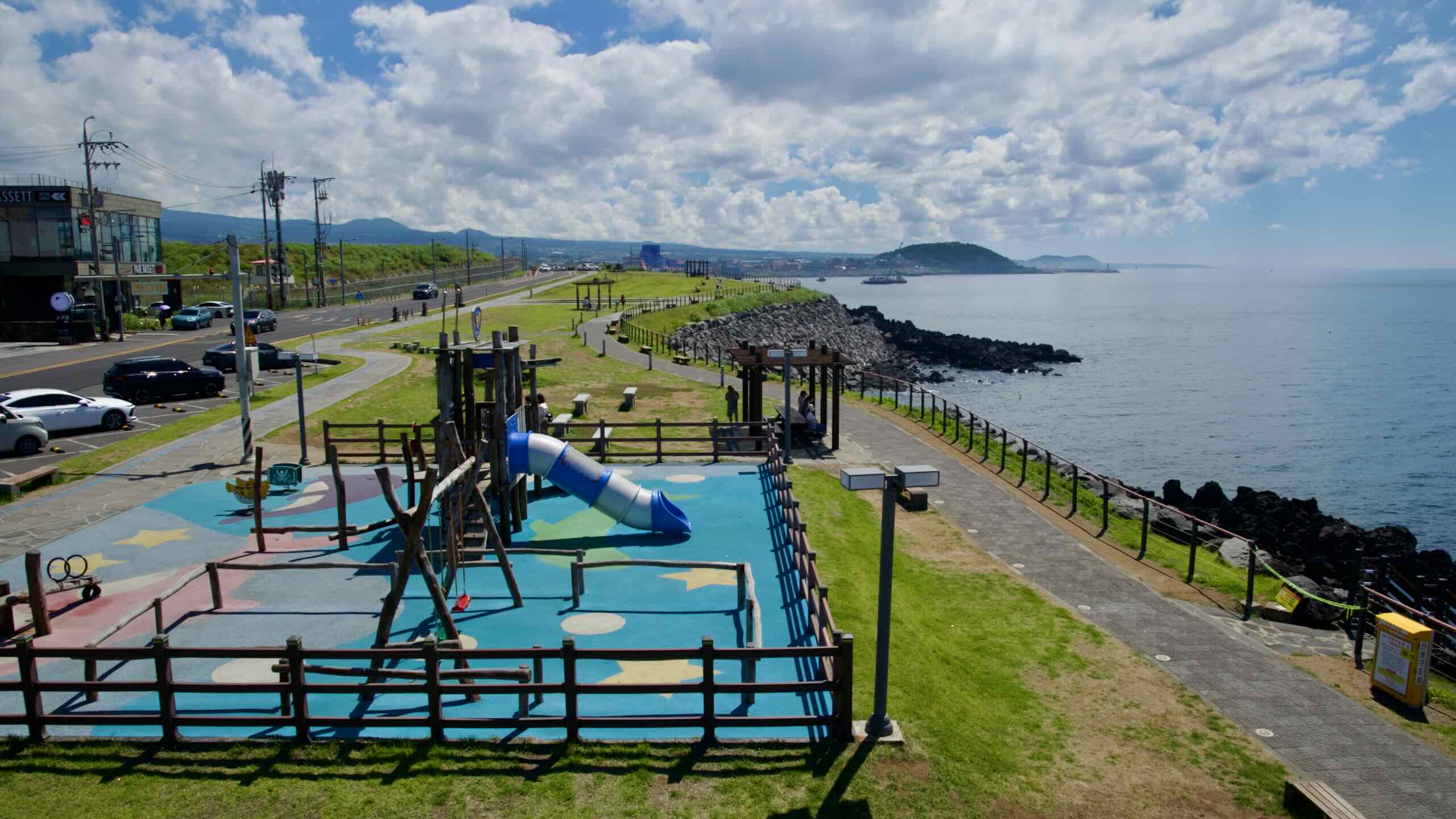
Continuing along the coast, reach Eoyeong Park (어영공원; map) on a bulb of land protruding into the Korea Strait.
“Eoyeong” derives from nearby Eoyeong Village, named for historic salt extraction from coastal rocks.
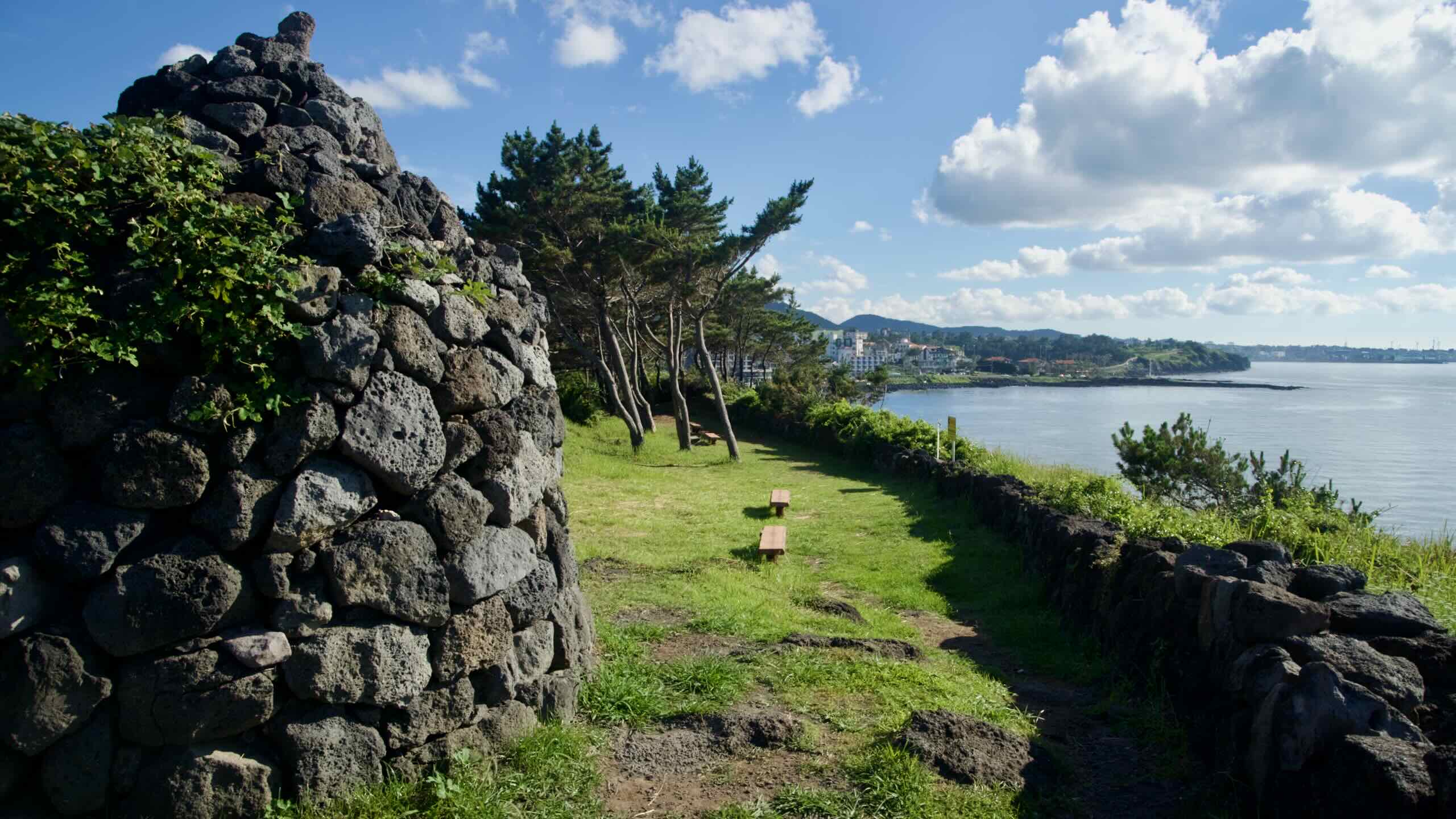
On approach to the main area, find Yeondaesanseong (연대; map), or Yongdam Yeondae, a historic beacon mound. Set on a hill, it relayed messages during the Joseon Dynasty.
Ride up to the park’s main section to find a playground, benches, and a uniquely shaped two-story open-air observatory with restrooms. Climb up for views. Look west to spot Jeju Rainbow Coastal Road leading to Dodu Peak (more on those later).
Along the seaside promenade, notice the Lorelei statue, a gift from Germany’s Lorelei City to commemorate its sister-city relationship with Jeju City. In return, Jeju presented a dolhareubang, a traditional stone statue.
Continue down the winding coastal road toward the sea.
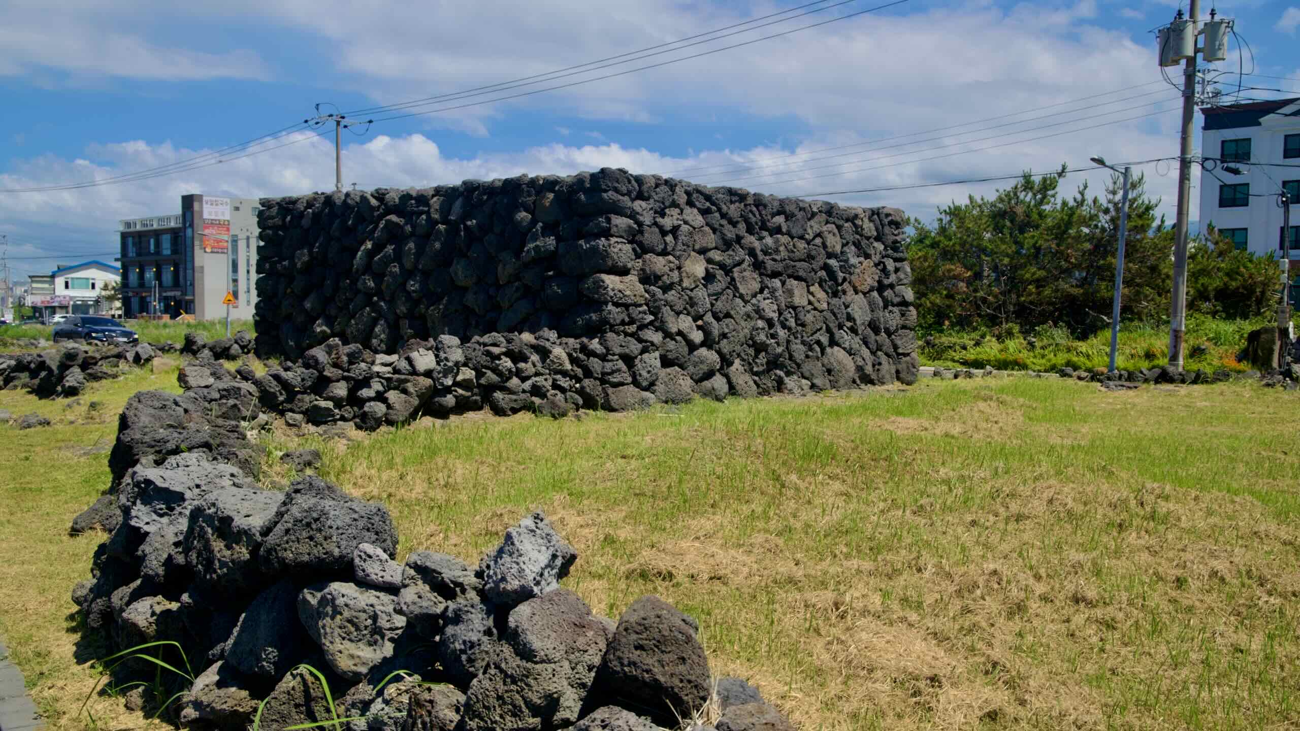
Along the way, encounter the Yongdam Seashore Bangsatap (용담서해안로 방사탑; map), stone towers built according to geomantic beliefs to protect vulnerable locations and ward off misfortune. Residents traditionally stacked stones—sometimes shaped to resemble people or birds—to guard the village.
Bangsatap have dotted Jeju’s landscape for centuries. Seventeen towers were designated folk heritage in 1995. In 2009, the community rebuilt five here through a local revitalization project.
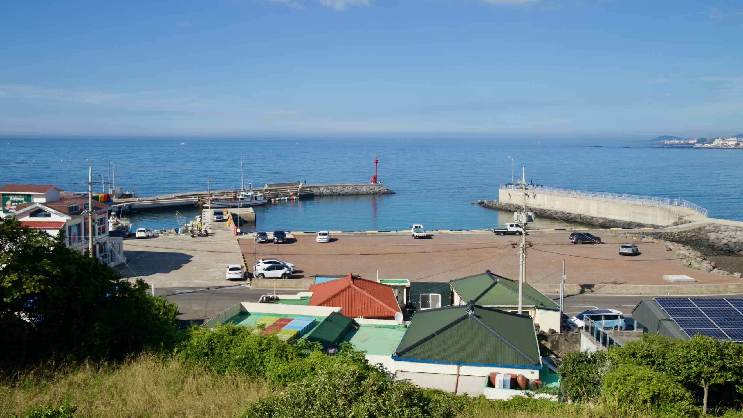
Sail into Sasu Port (사수항; map), a small fishing harbor settled 370 years ago, with a 273-meter breakwater and a 99-meter quay.
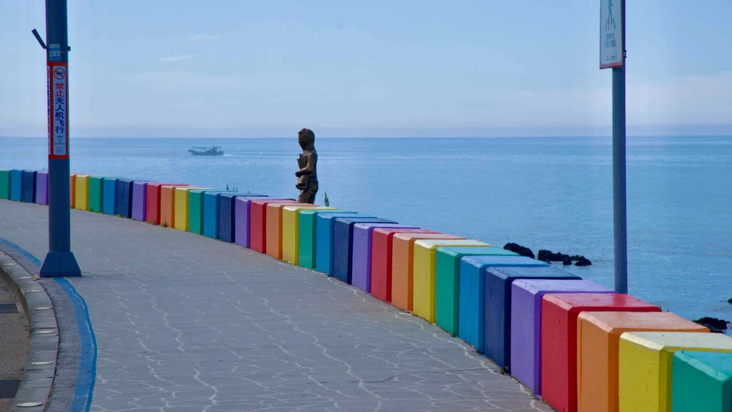
Pedal a short uphill to Jeju Rainbow Coastal Road (제주 무지개해안도로; map). Built for traffic safety, its multicolored concrete barriers became an attraction in their own right.
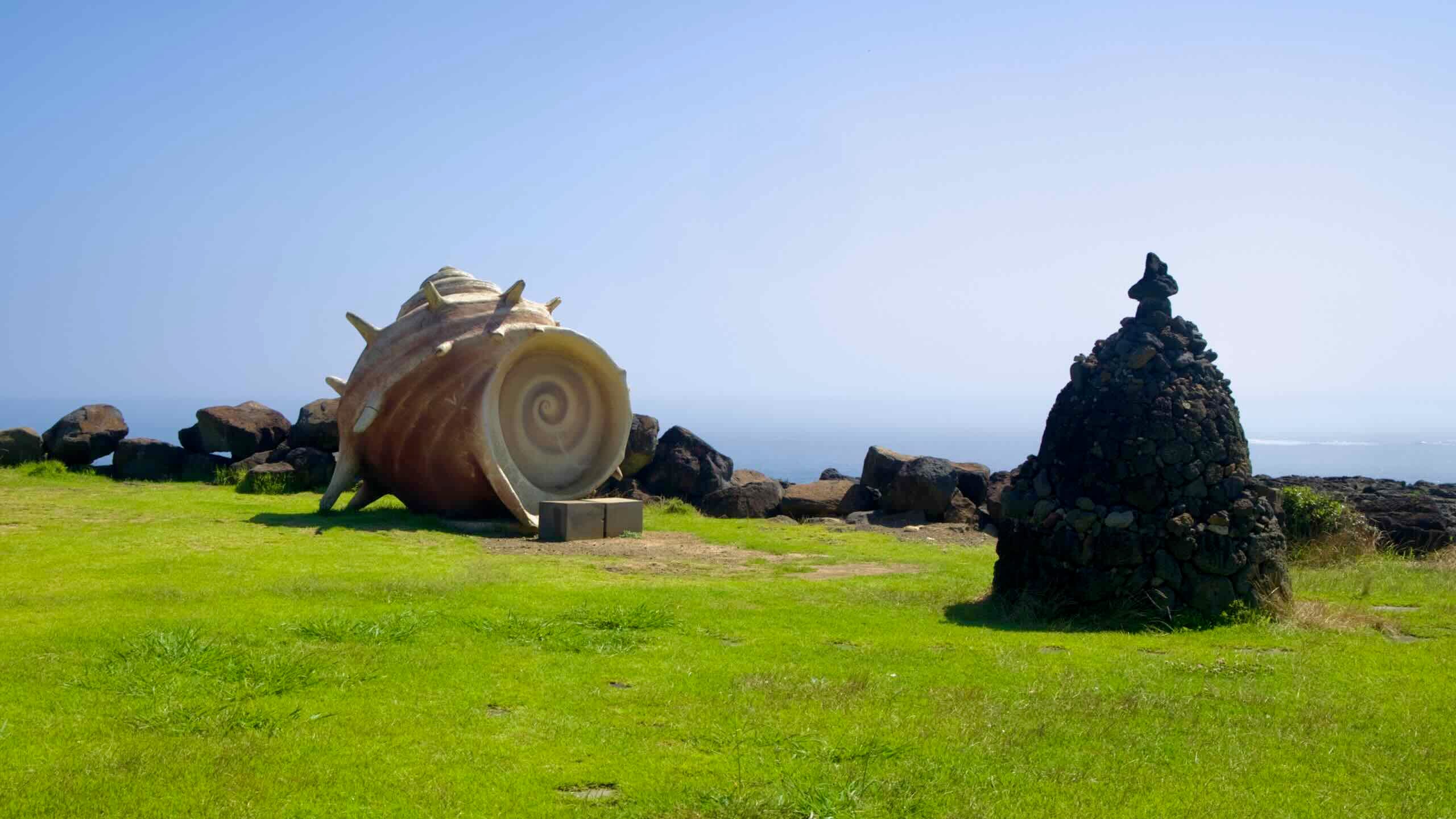
The community leaned into the attention by adding sculptures and a well-maintained cycling and walking path, including works depicting Jeju’s famous haenyeo divers and local legends.
At the end of the Rainbow Coastal Road rises Dodu Peak (도두봉; map; Dodu-bong), one of Jeju’s oreums (parasitic cones). It stands 67 meters tall and offers trails through grassy fields beneath pine and cedar.
For a short detour, climb the wooden steps to a small platform with views of Jeju International Airport. You won’t wait long between takeoffs and landings; Seoul–Jeju is among the world’s busiest routes.
Dodu means “head of the island.” During the ancient Tamna Kingdom, residents ascended Dodu Peak to bid farewell to envoys departing for the mainland and to welcome them home.
Roll below Dodu Peak into the area around Dodu Port (도두항; map), a seaside community with a modest fishing fleet and spots to buy fresh catch directly from fishermen. A short coastal walkway connects the port to scenic basalt formations and seafood restaurants.
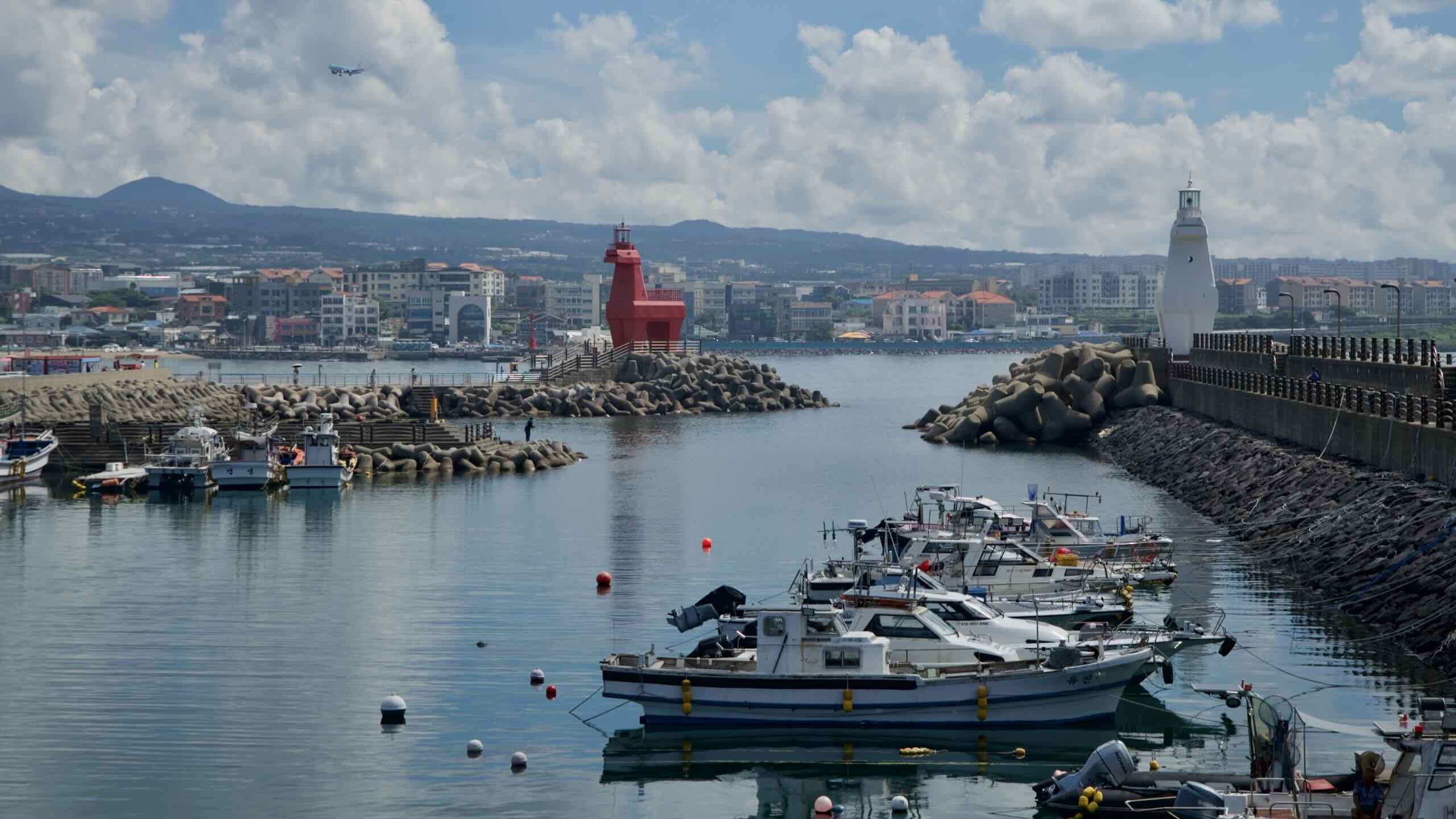
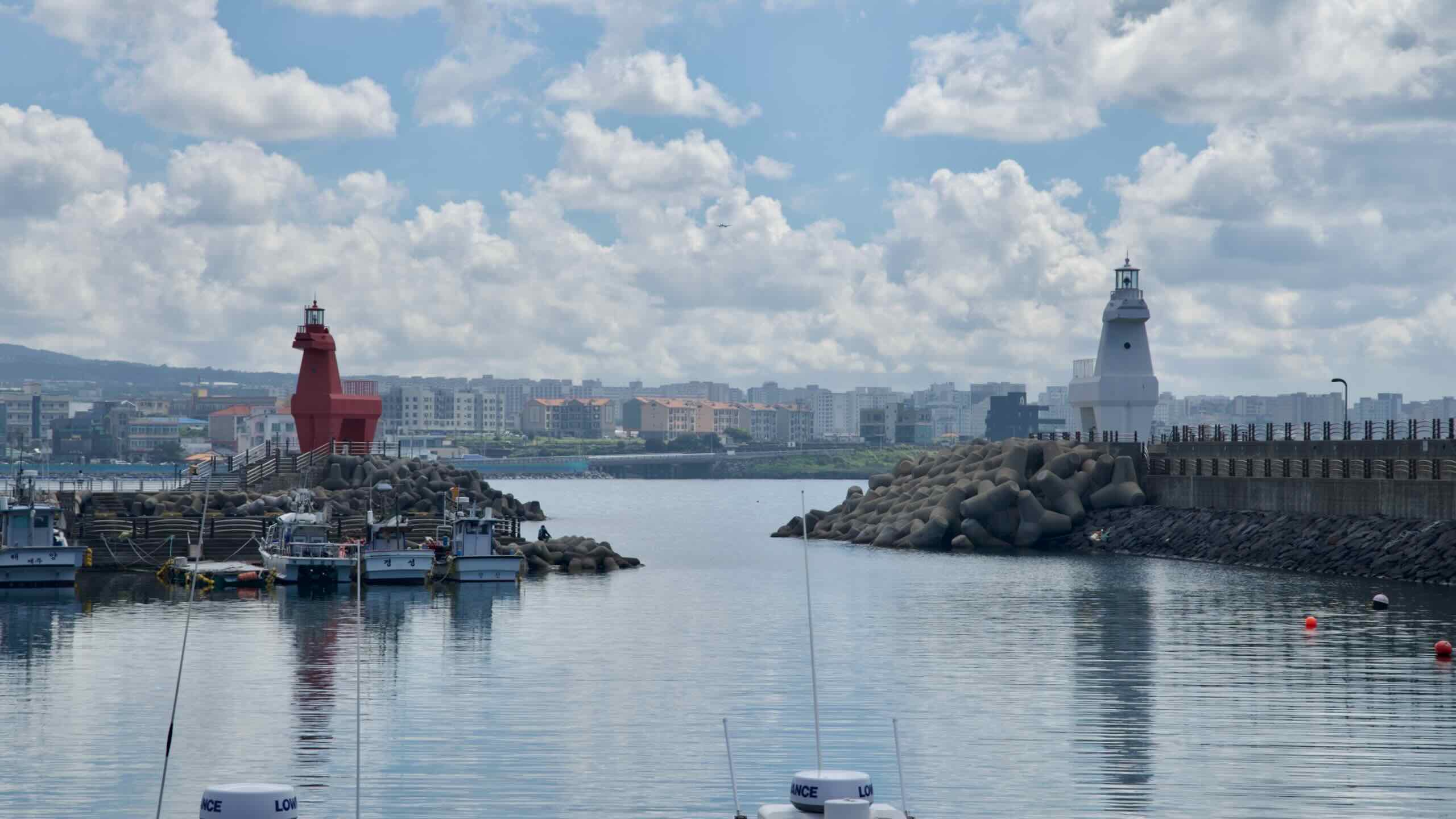
Next door, meet the rectangular quay of Iho Breakwater (이호방파제; map).
In addition to serving both fishing and tourism, the breakwater is known for its towering red and white horse-shaped lighthouses. Inspired by Jeju’s native horses, they’re popular photo spots.
Veer inland from Iho Breakwater near the end of the quay (road view). (Note: the road leading directly west from the breakwaters dead-ends in a parking lot.
Travel along city streets until you spot a large block-letter sign on the embankment: Iho Tewoo Beach (이호테우해수욕장; map). Swerve back toward the coast to a beach renowned for golden sands, shallow waters, and views of the horse-shaped lighthouses.
A nearby pine forest provides shade for picnics and camping; facilities include a campsite, changing rooms, restaurants, and convenience stores.
At low tide, the water retreats to reveal traditional stone fish traps (won-dam), which capture fish as the tide falls.
The area also hosts the annual Iho Tewoo Festival, with anchovy fishing demonstrations and cultural performances.
From Iho Tewoo Beach, follow the coastal road past Hyunsa Port (현사포구; map), favored by anglers who target sea bass by day and use bright streetlights to lure cuttlefish at night.
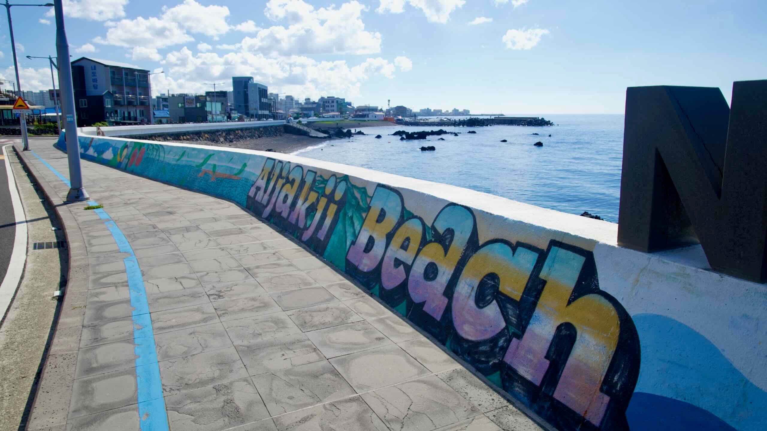
Ride along the seawall, watching marine murals glide by. At the end of the stretch, letters spell Aljakji Beach (알작지해변; map). Unlike sandy beaches, Aljakji is famed for its pebble shoreline, adorned with smooth, rounded stones called mongdol.
“Aljakji” combines “al” (“small and round”) and a Jeju dialect term for pebbles.
The beach stretches about 400 meters and offers a serene, picturesque setting. The surrounding area features vibrant murals.
After rounding the corner at the end of Aljakji Beach, cross the freshwater Gyeongrueong Stream (경령천). Veer upstream and hop a bridge.
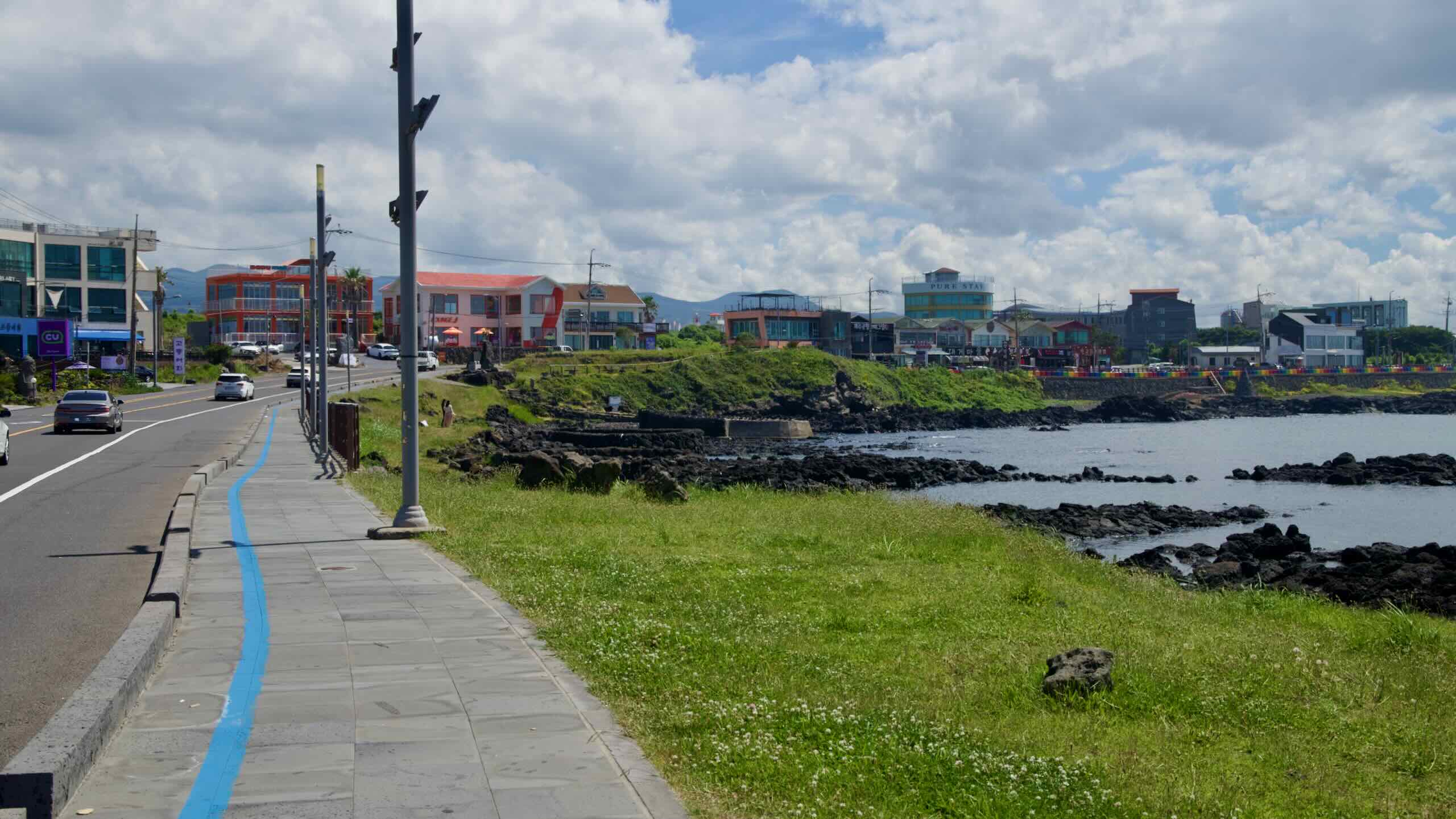
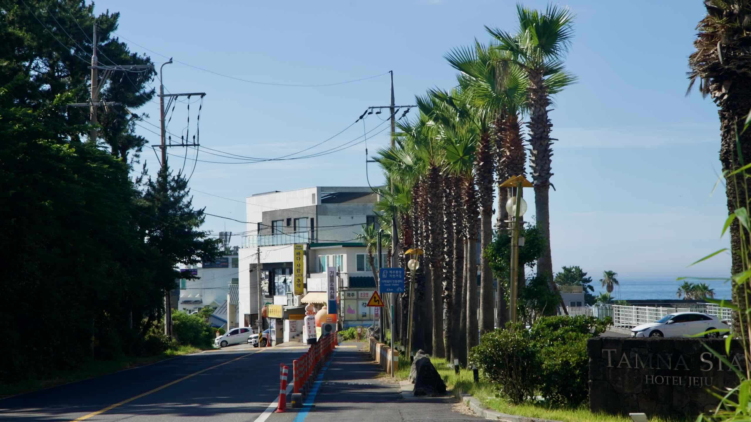
Welcome to the city portion of the route. The next 4 kilometers (directions) travel along sidewalks and shoulders beside a busy four-lane road through Aewol Town (애월읍; map). Covering about 202.16 km², it accounts for roughly 10% of Jeju City.
Aewol-eup is renowned for scenic coastal landscapes, cafés, and cultural sites.
Along this stretch you’ll see side streets that lead to waterside communities such as:
Yeondae Port (연대포구; map), also known as Marijipo, noted for preserving the traditional look of Jeju coastal villages. Nearby are a haenyeo changing room, a scenic wooden walkway, and restaurants like Oedo 339 and Ichunok Original Mackerel Ssambap.
Daewonam Temple (대원암; map), just meters from the sea, where visitors view a thousand Buddha statues and pray before the reclining Sea Buddha Gwanseeumbosal.
Hagwi Port (하귀포구; map), a quaint fishing harbor with boats and a resting pavilion. Accommodations like Pogu Minbak place guests close to the waterfront.
After the 4-kilometer urban trek through Aewol, take an offramp (road view) and return to the coast.
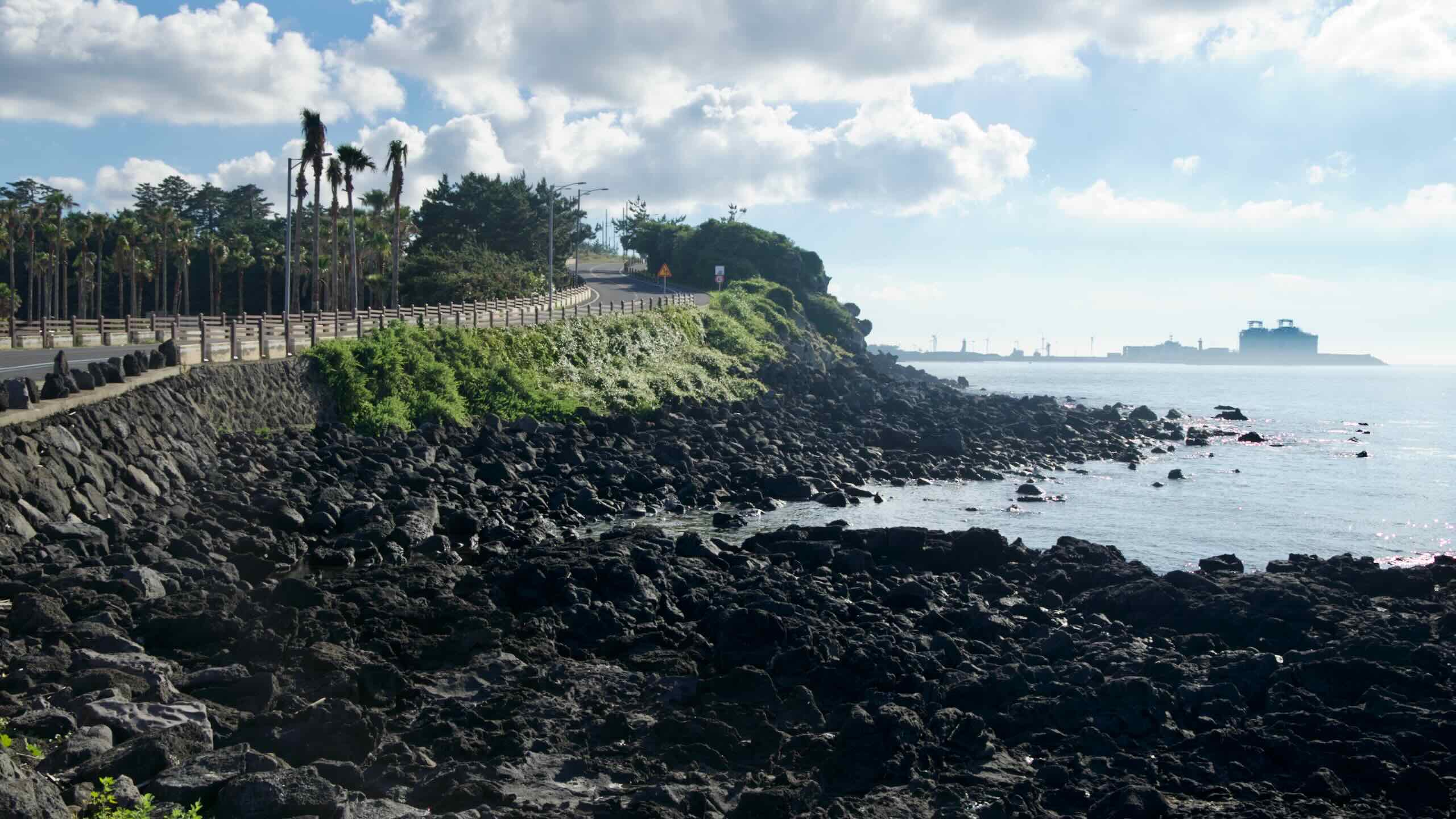
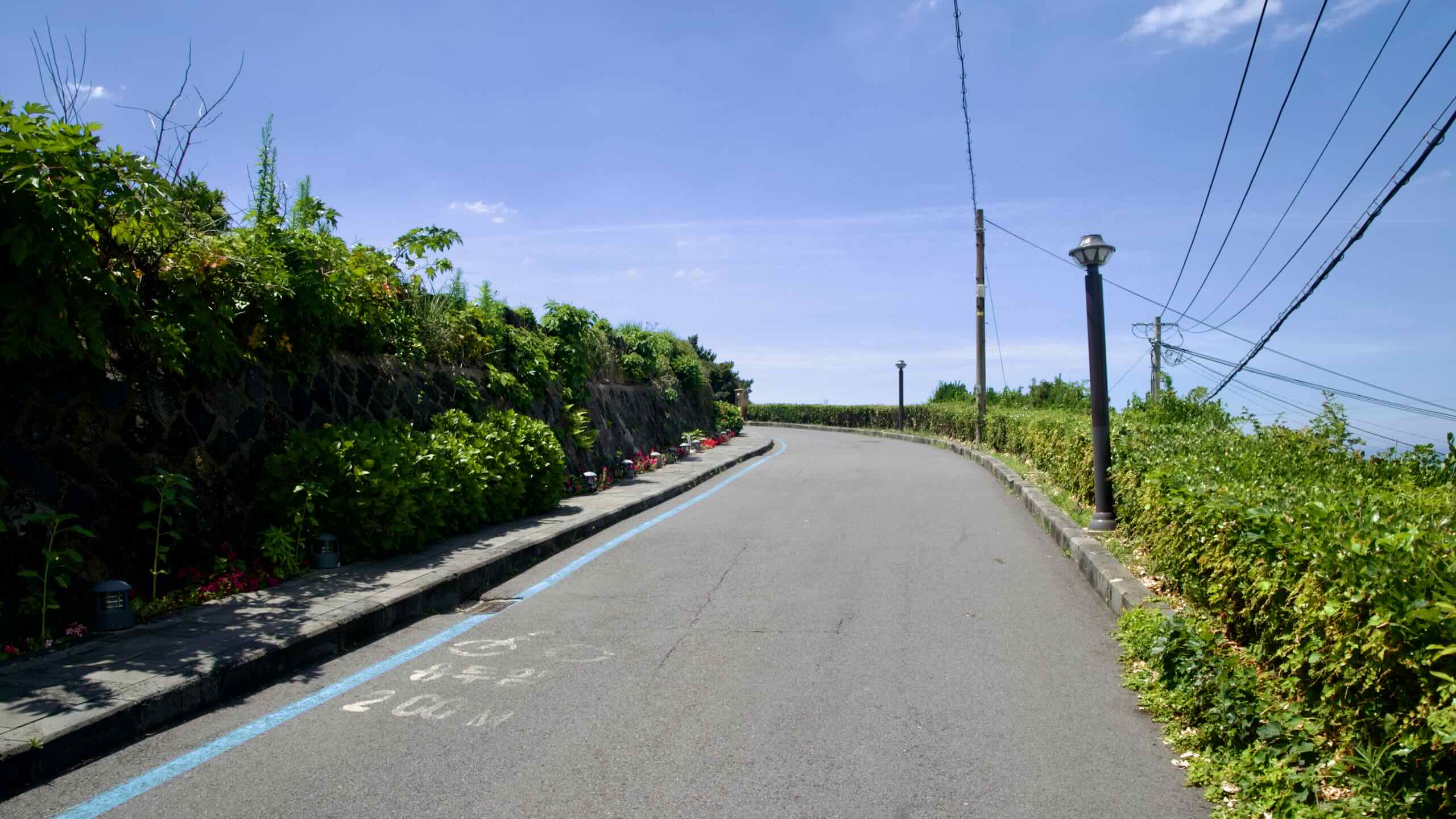
This section of the Jeju Fantasy Bike Path follows the Hagu-Aewol Coastal Road, a winding shoreline drive linking Hagwi and Aewol. Expect sea views, basalt cliffs, cafés, small harbors, and walking paths.
Unlike the inland expressway, this route hugs the coast, making it popular for leisurely drives and cycling, with ridges that dip to the water and rise on modestly steep roads (directions).
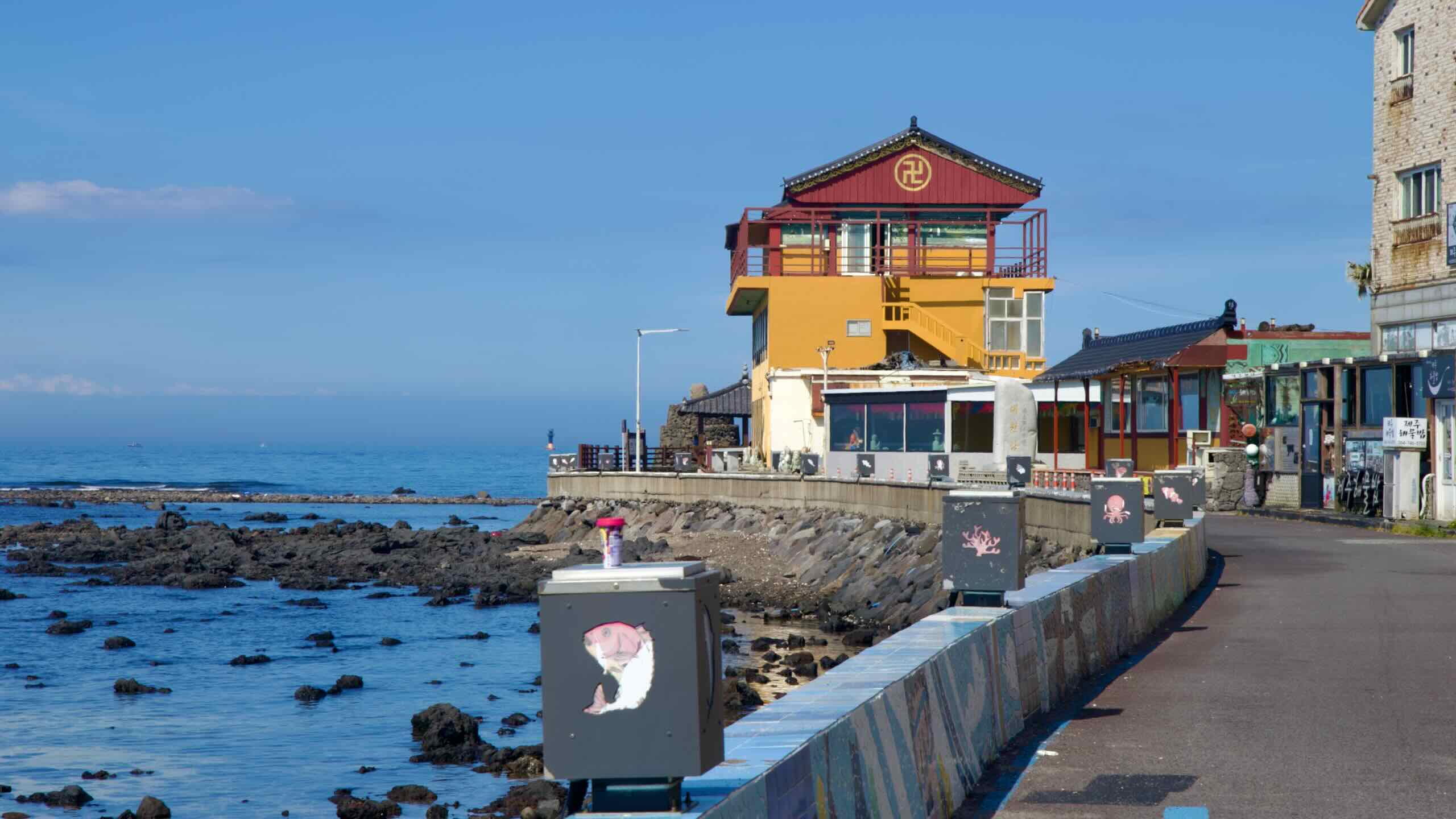
First along the coastal route, pass Gamundong Port (가문동포구; map), established in 1917; it supplies local eateries with fresh seafood.
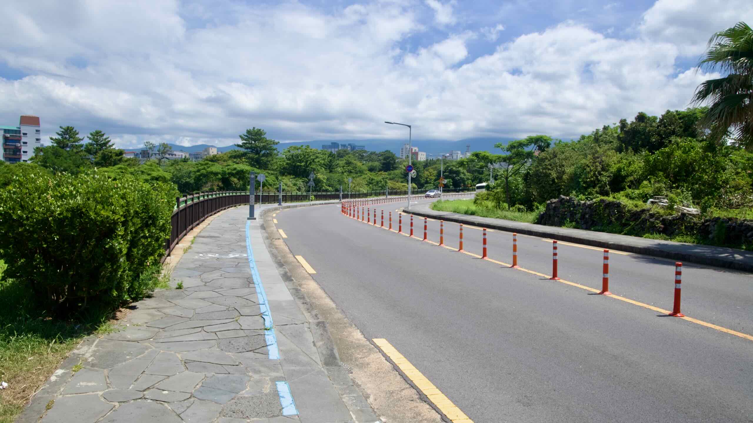
Climb a high ridge around a coastal horn, where rainbow cones separate the bike lane from vehicle traffic.
Descend to the space-ship-shaped UFO Pension (유에프오펜션; map), then roll into Gueom Port (구엄포구; map). Nearby, traditional stone saltpans—carved into basalt and used to evaporate seawater—showcase a unique local craft.
Climb another coastal hill on separated bike lanes and cruise the ridge to Shineom Port (신엄항; map), listed as “Eomjangpo” in the 1702 Tamna Sunryeokdo paintings of Jeju.
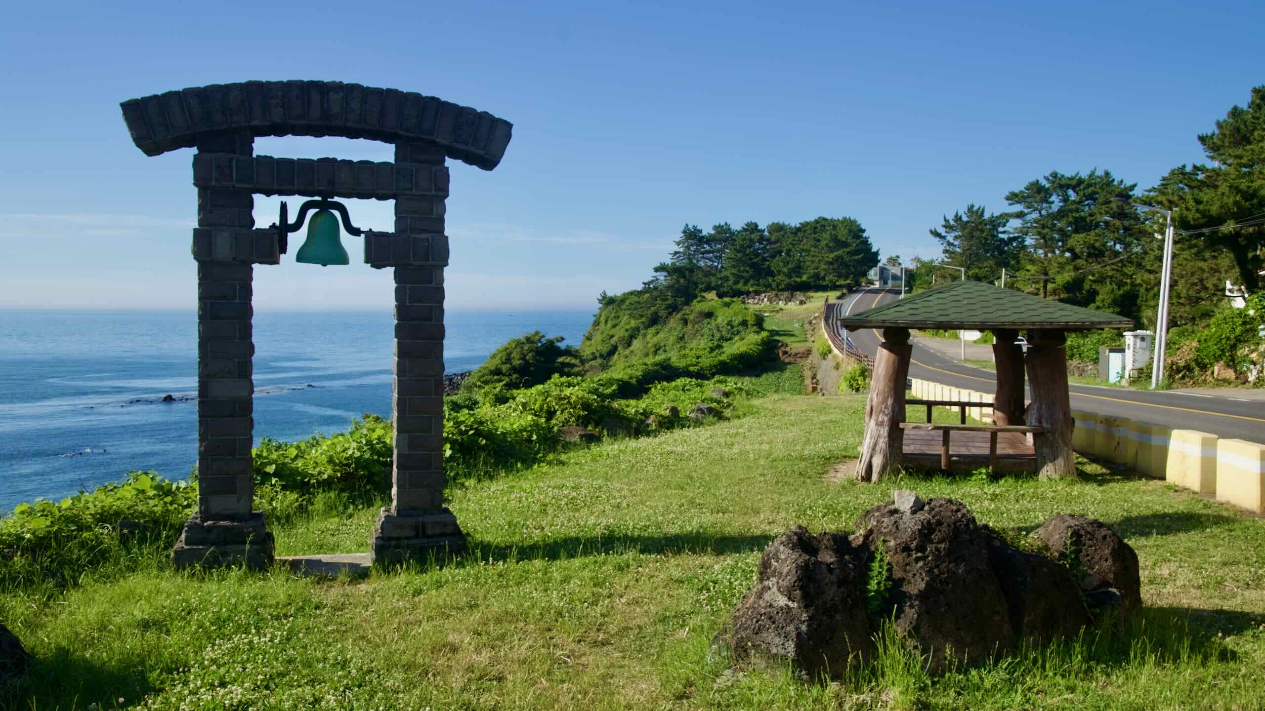
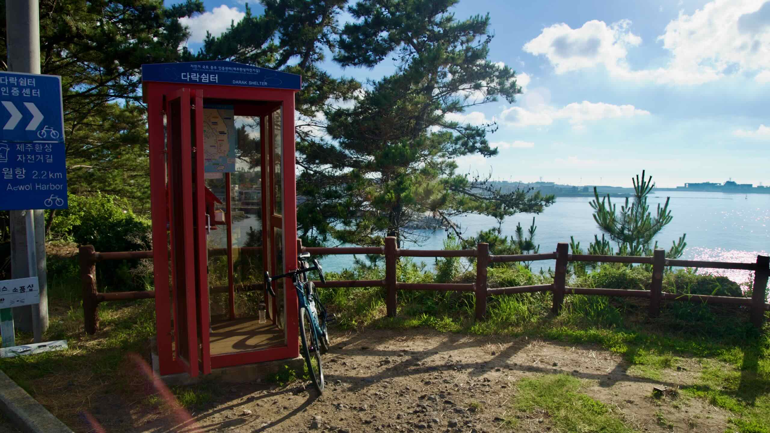
Climb another ridge and continue along bike lanes. Near the high point, reach Darak Shelter (다락쉼터; map), perched above the waves. This small cliff-top rest area offers benches, covered seating, and sweeping views of Jeju’s basalt coastline.
Some visitors point out a rock formation called the “Great Stone Face” (큰바위 얼굴), said to resemble a profile with a pronounced nose and hollowed eyes, weathered by wind and waves. Some see Poseidon; others think of Nathaniel Hawthorne’s short story. It’s easy to miss—tucked just beyond the main pavilion along the cliff edge.