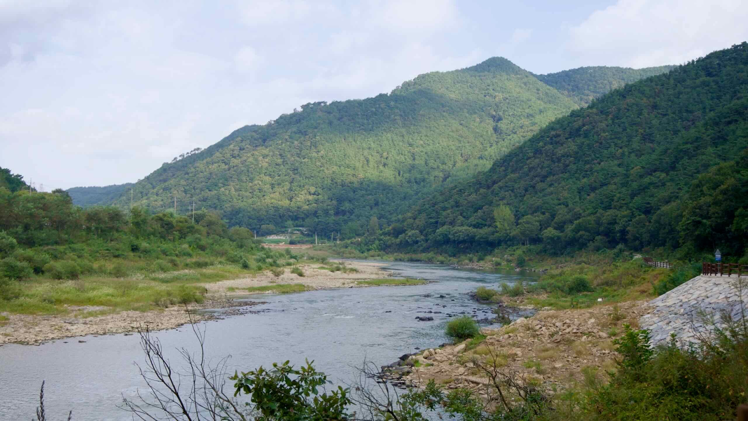
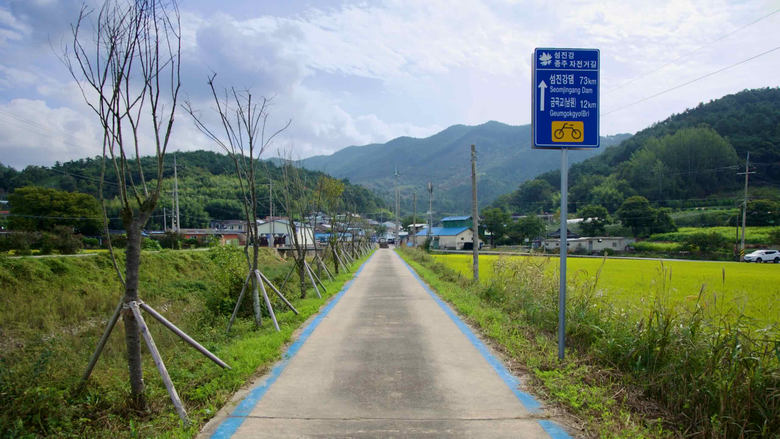
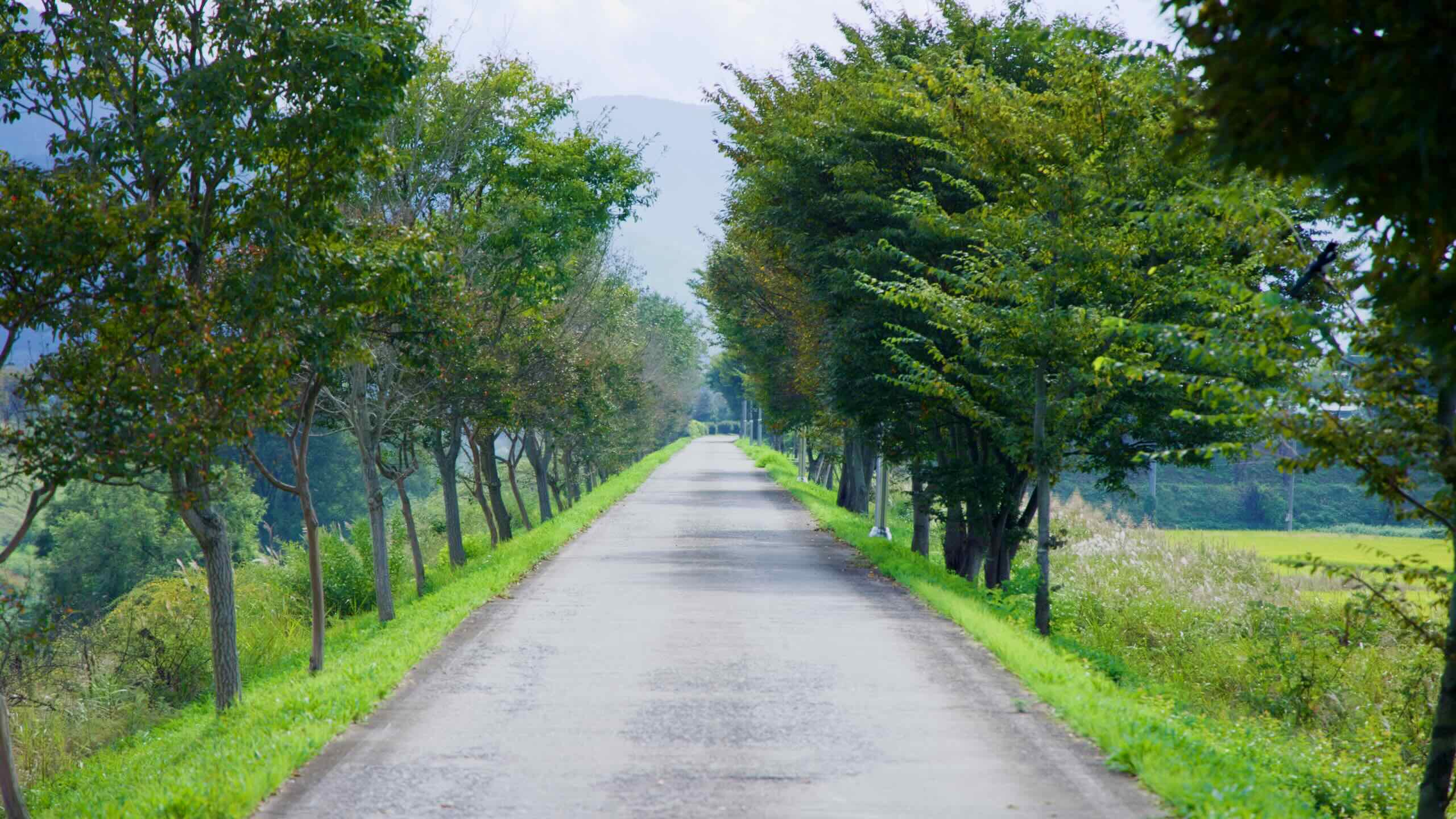
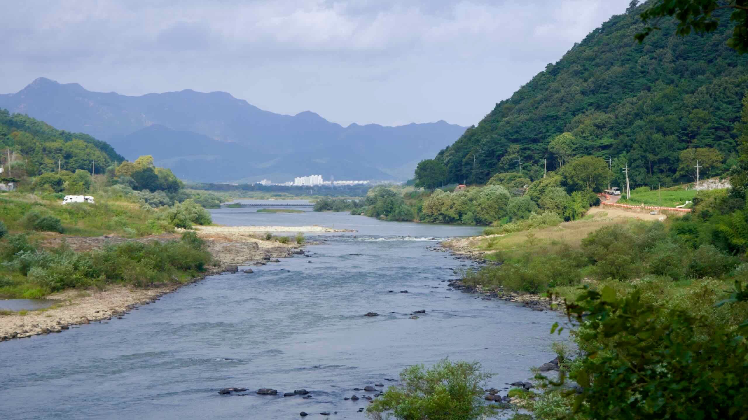
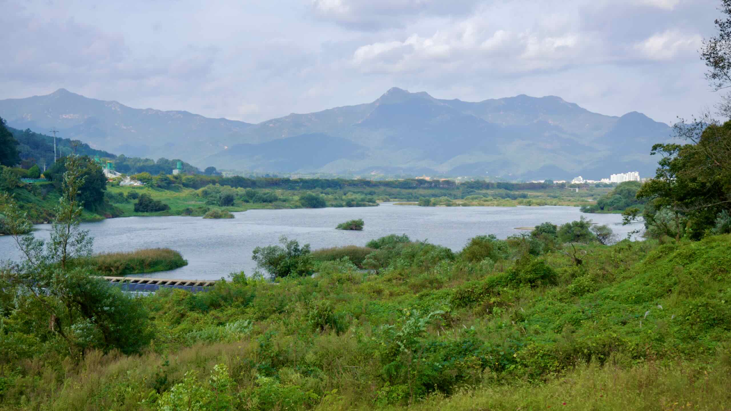
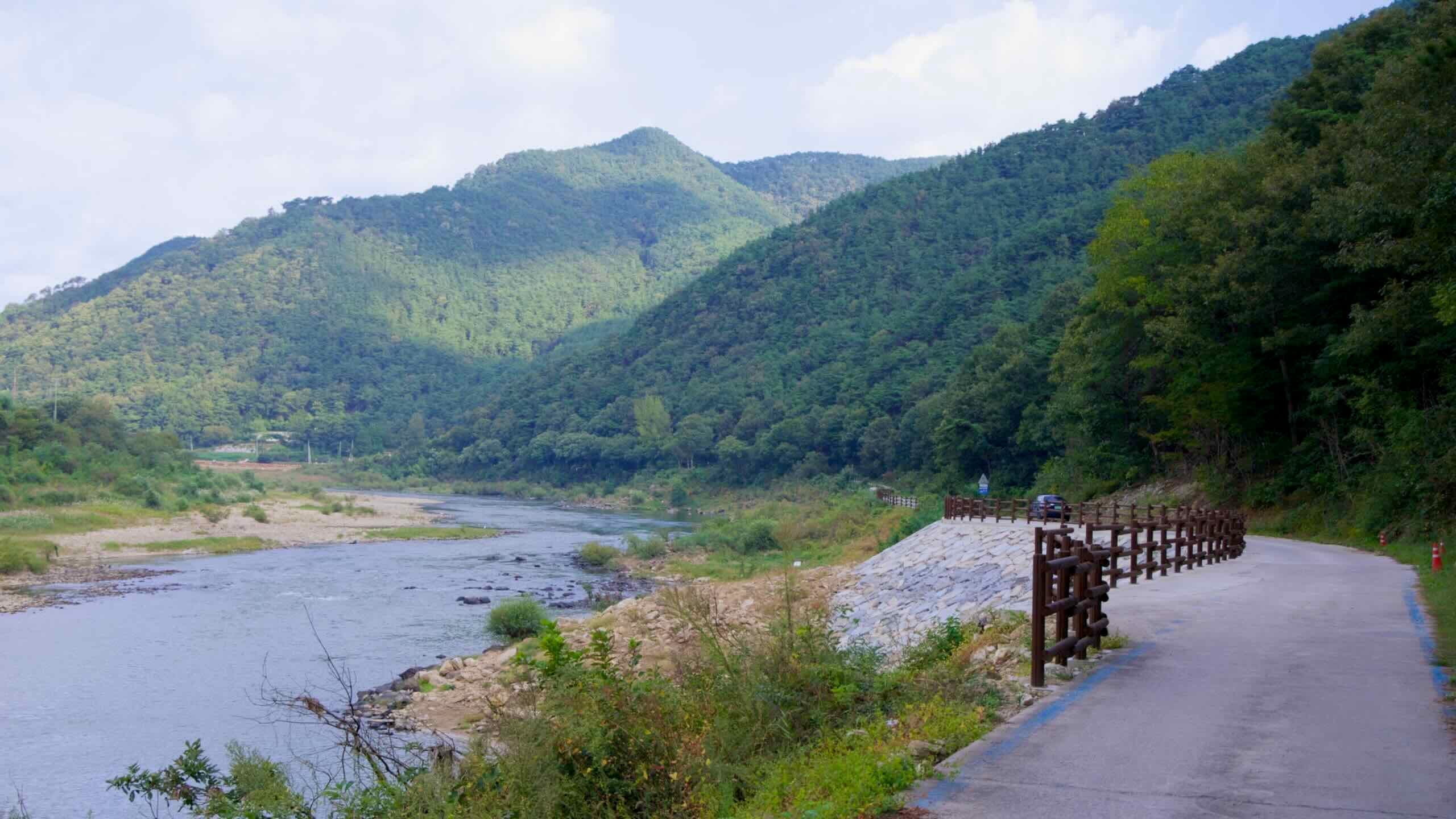
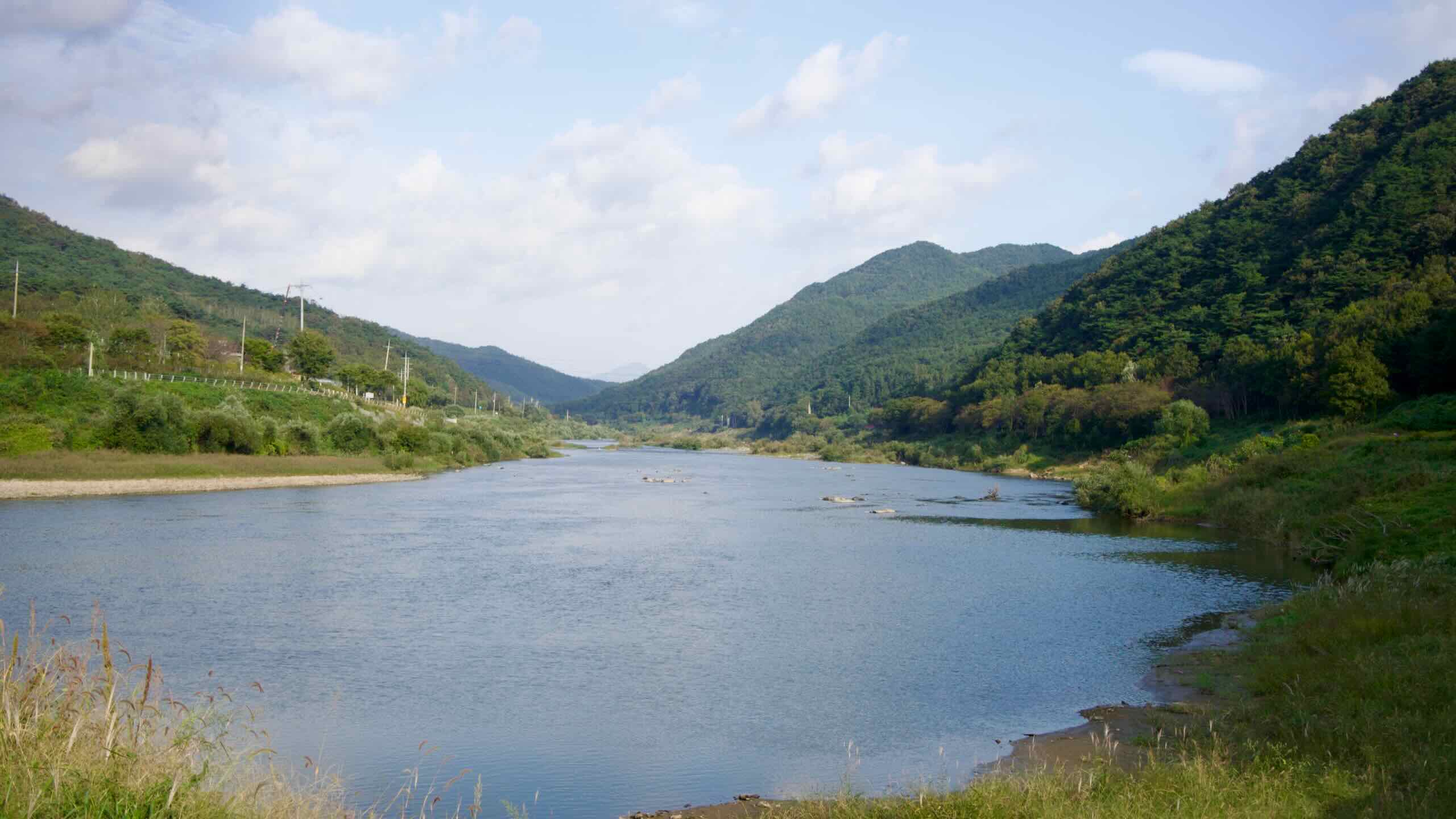
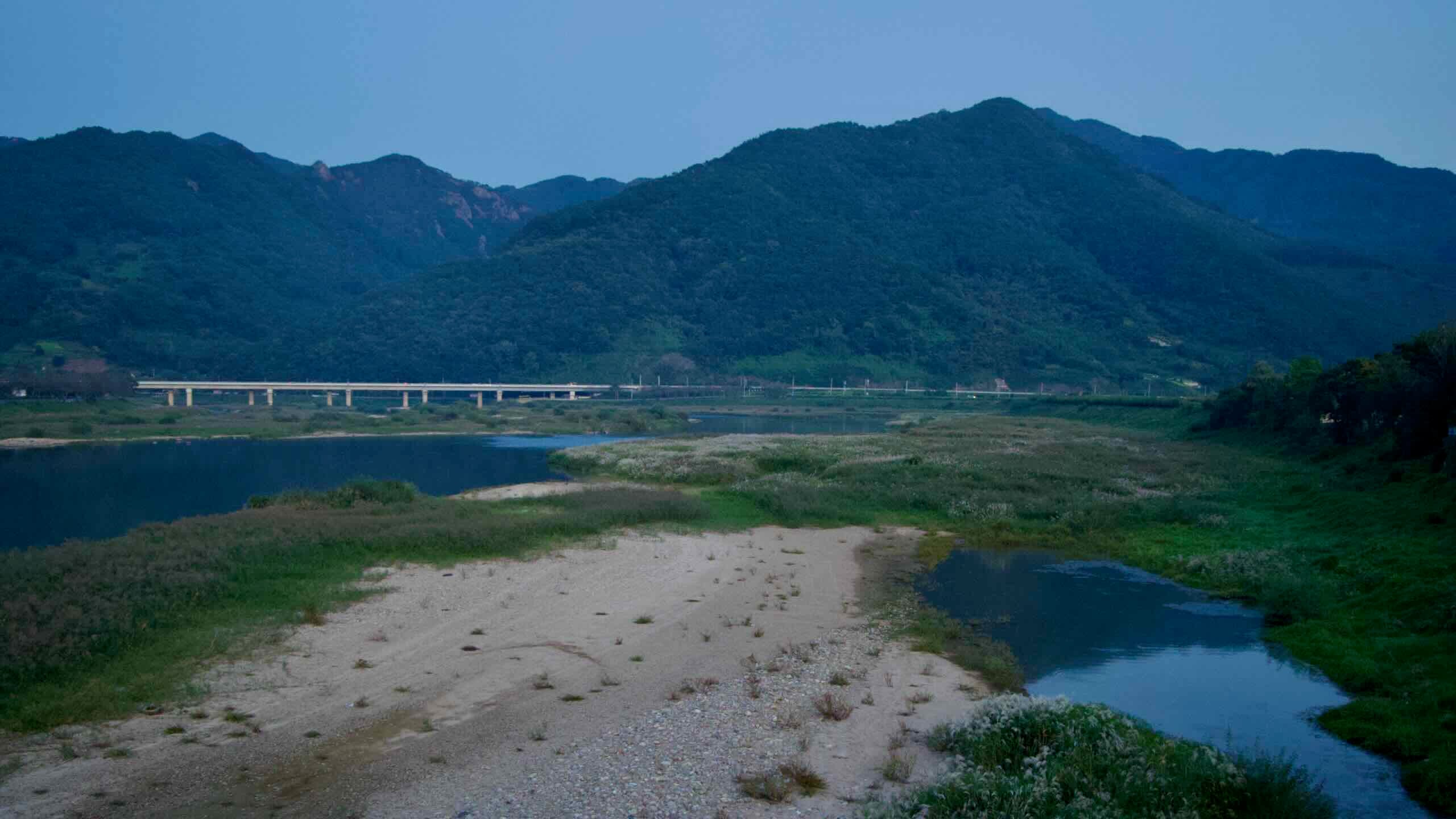
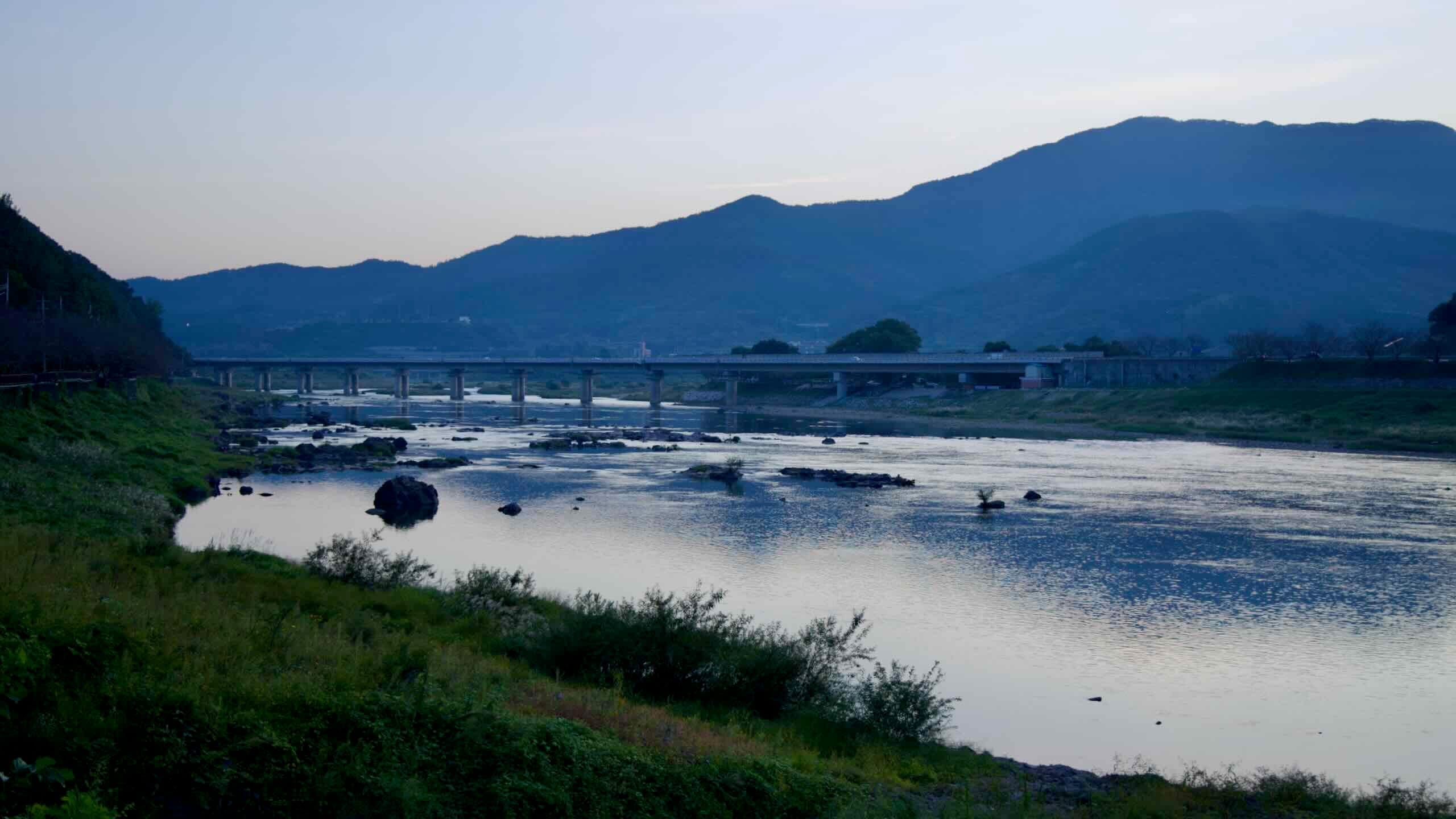
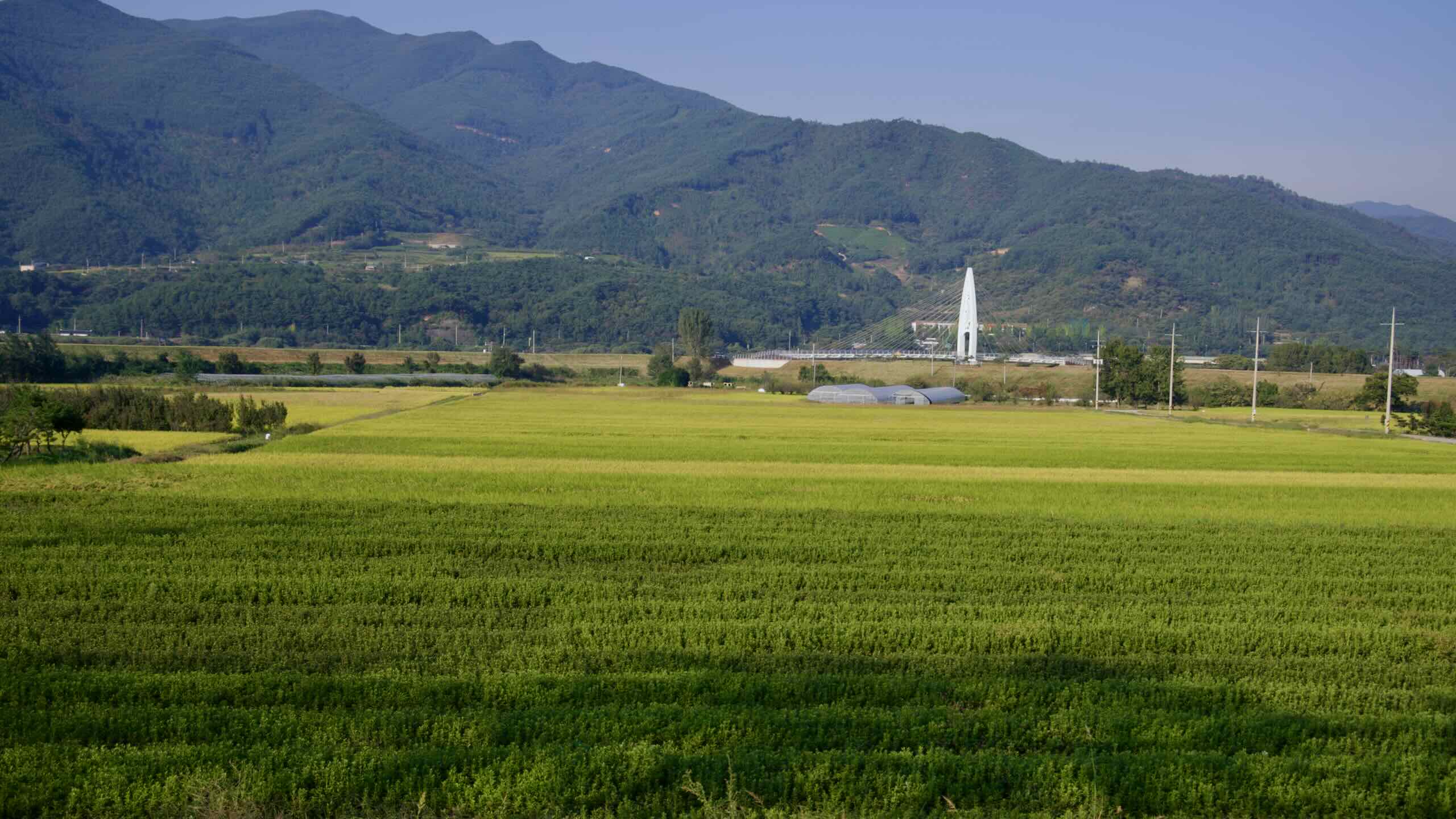
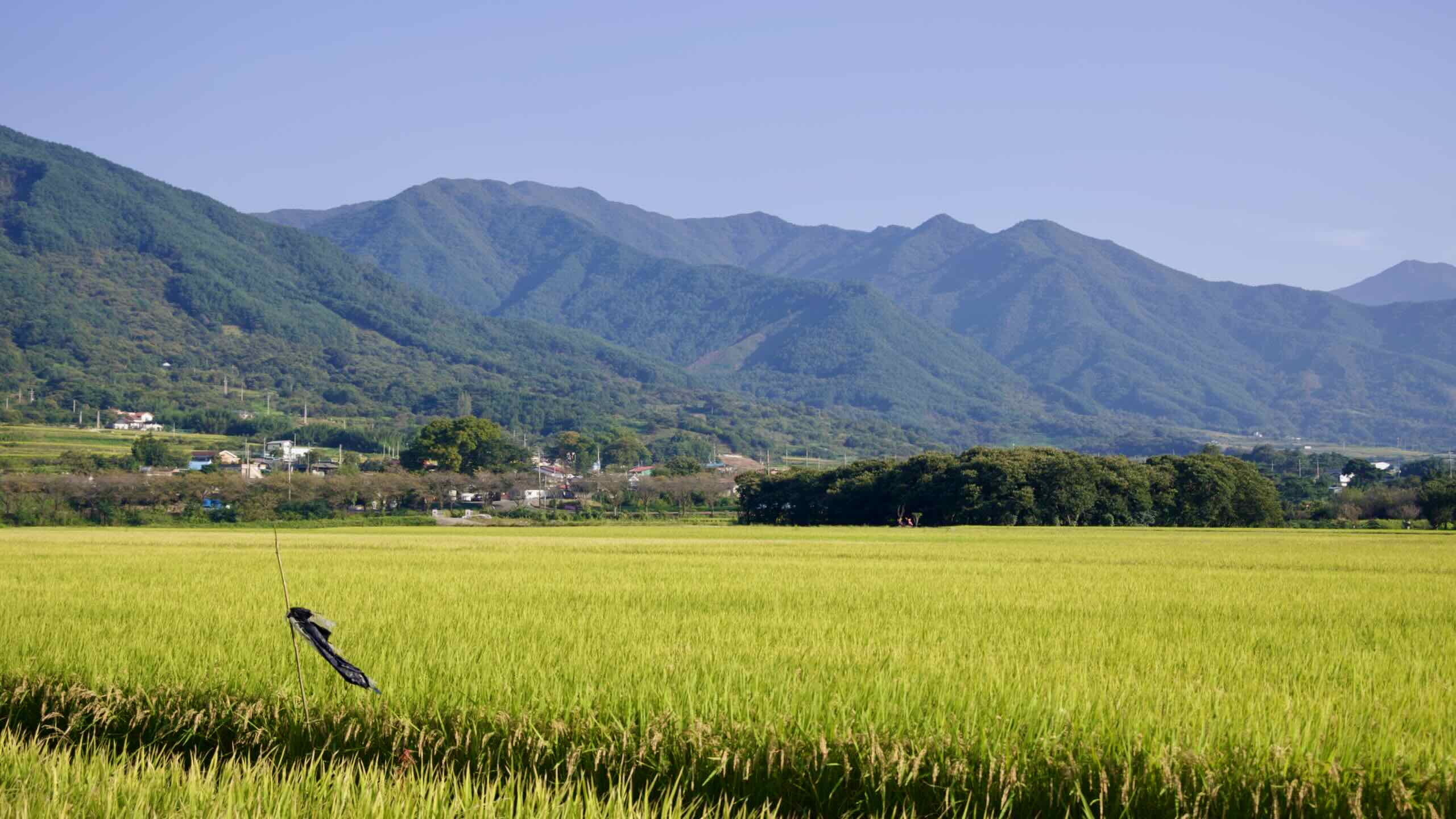
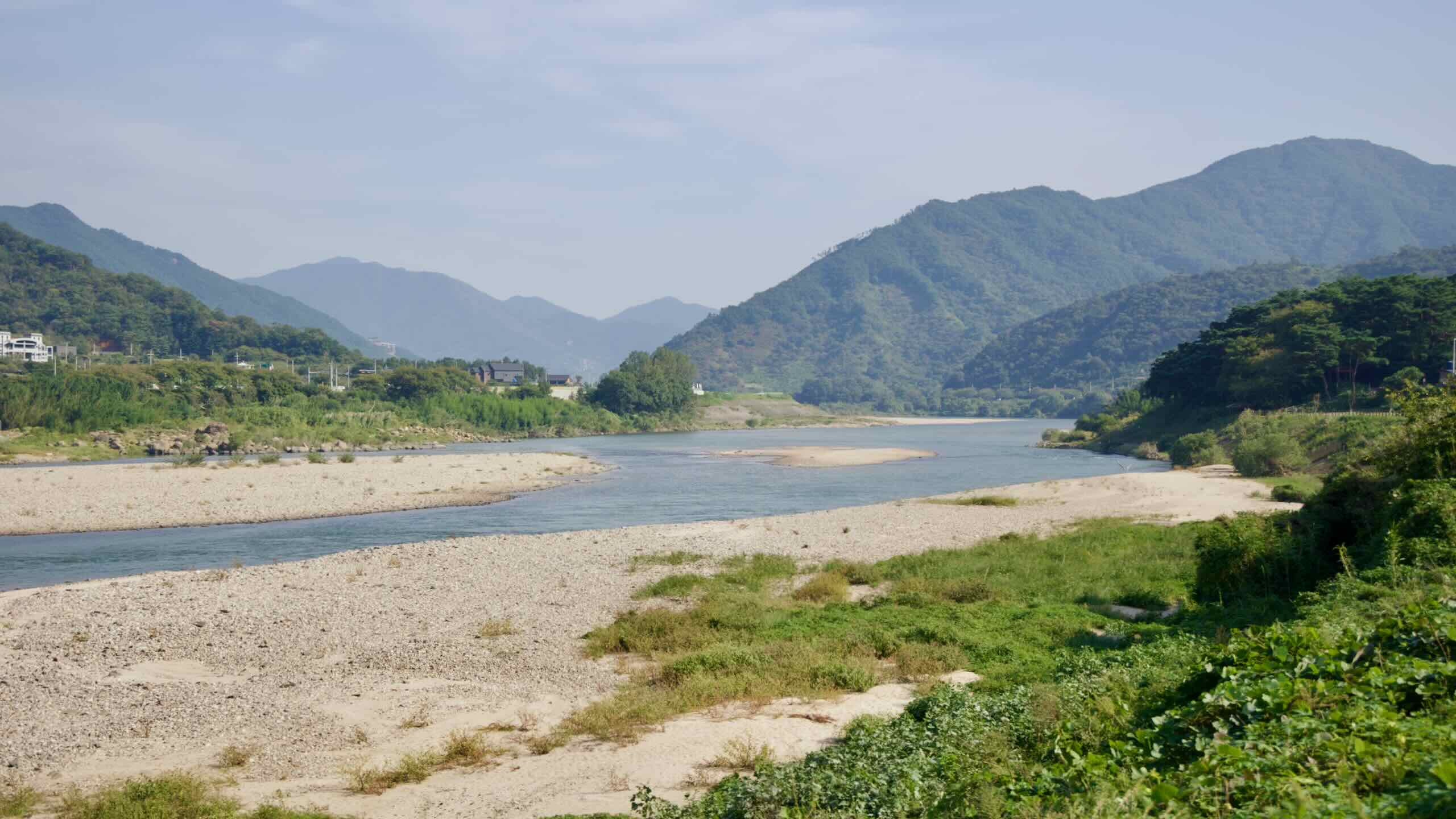
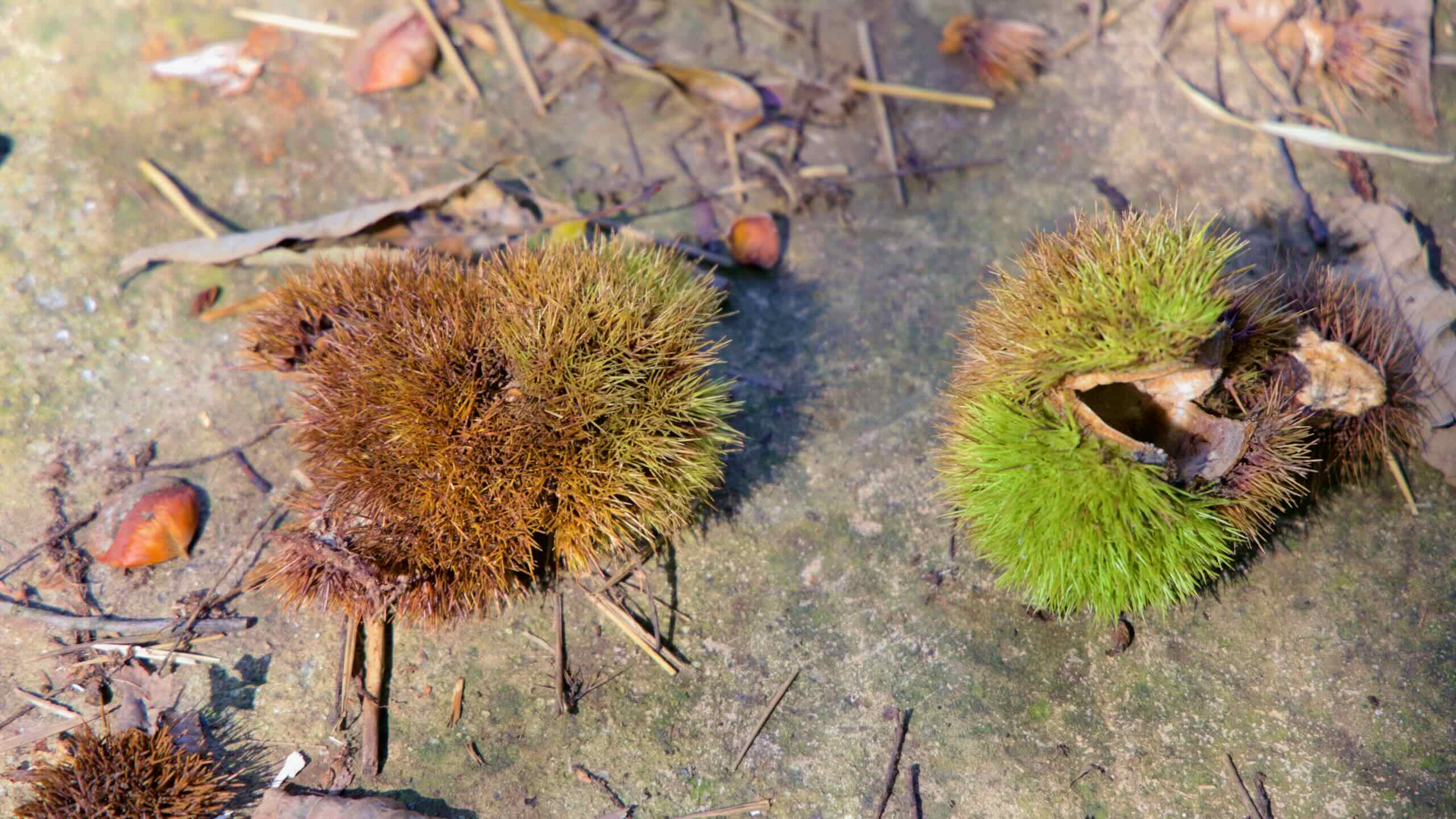
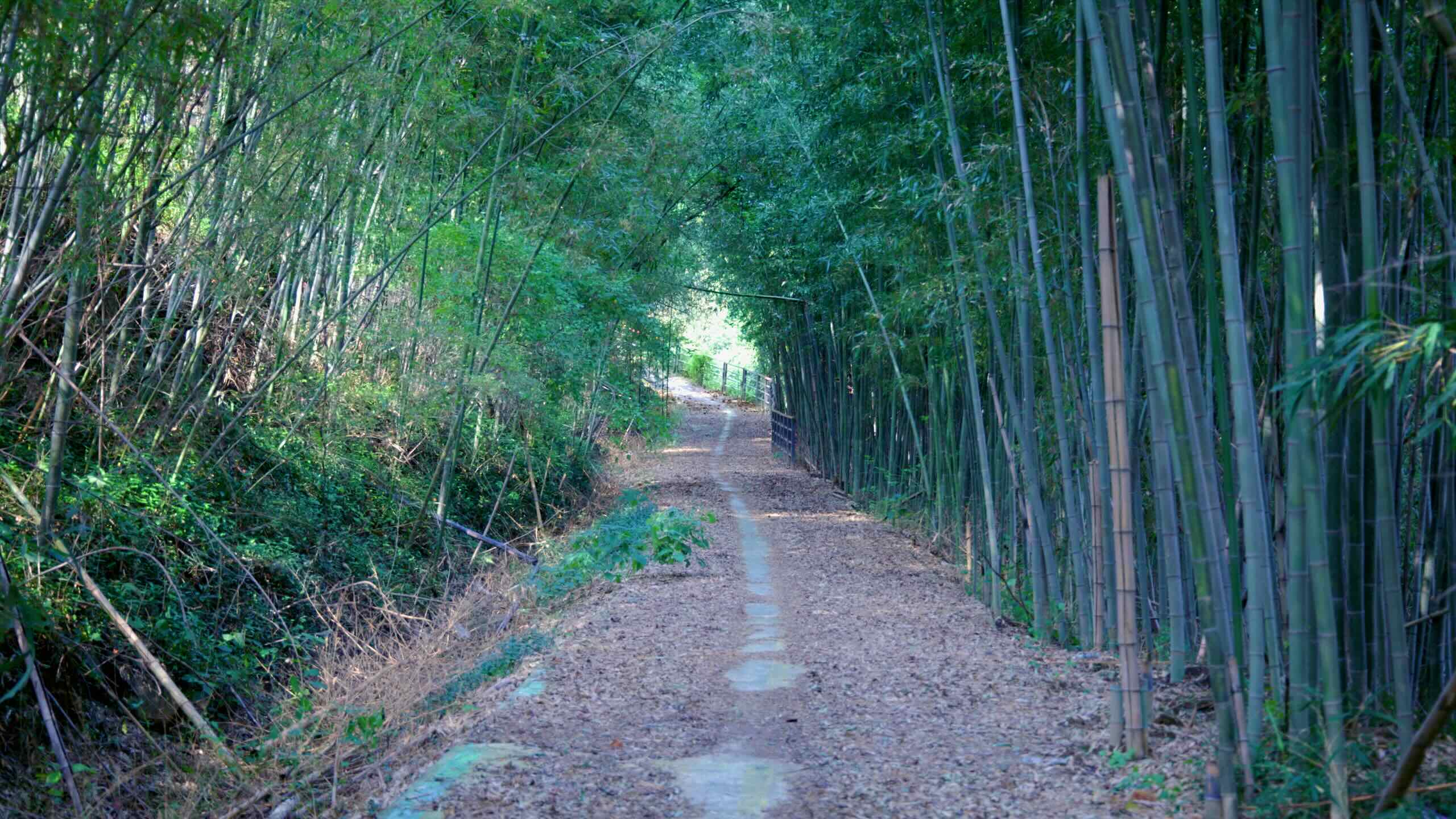
푸르른 녹음으로 뒤덮인 완만한 언덕길을 따라 계속 페달을 밟습니다. 아래로는 섬진강이 속삭이듯 흘러갑니다.
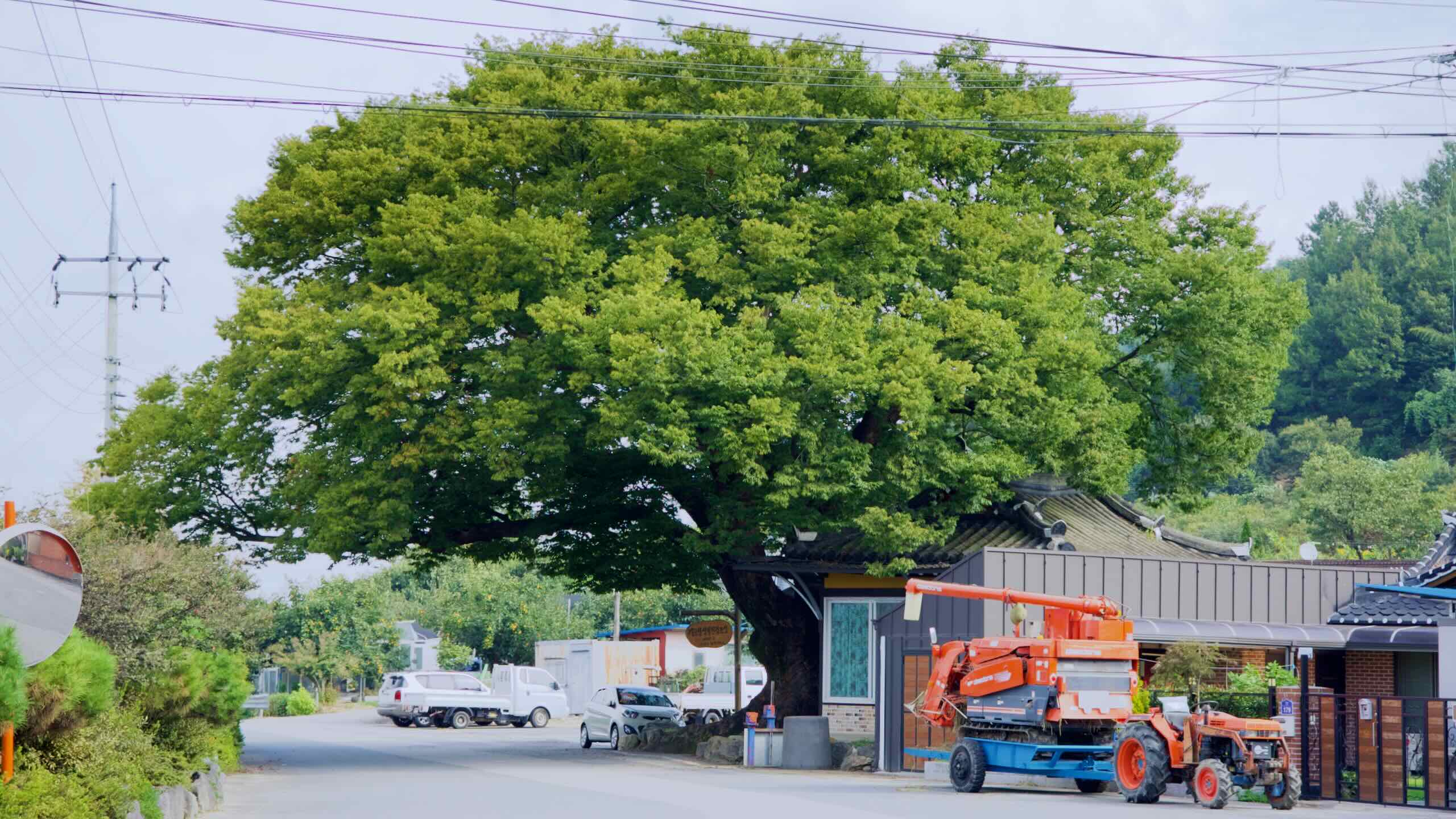
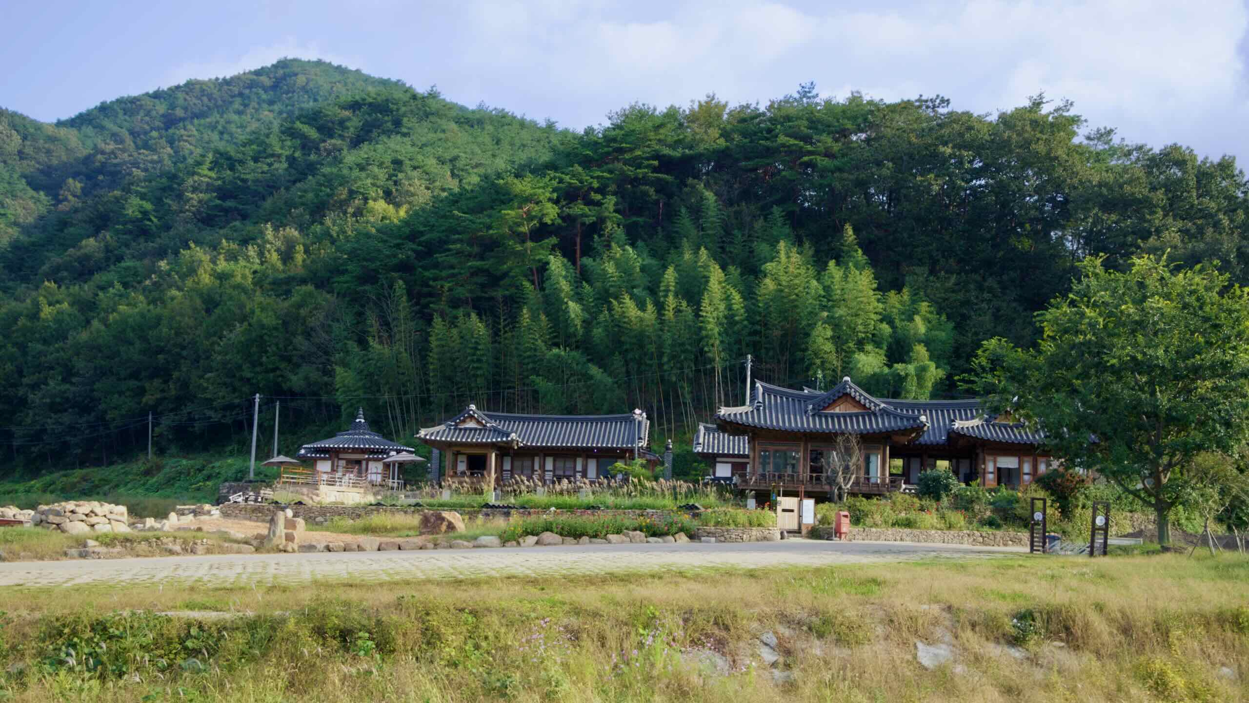
약 2킬로미터쯤 가면 숲길이 열리며 전통 한옥 건물이 모여 있는 곳이 나타납니다.
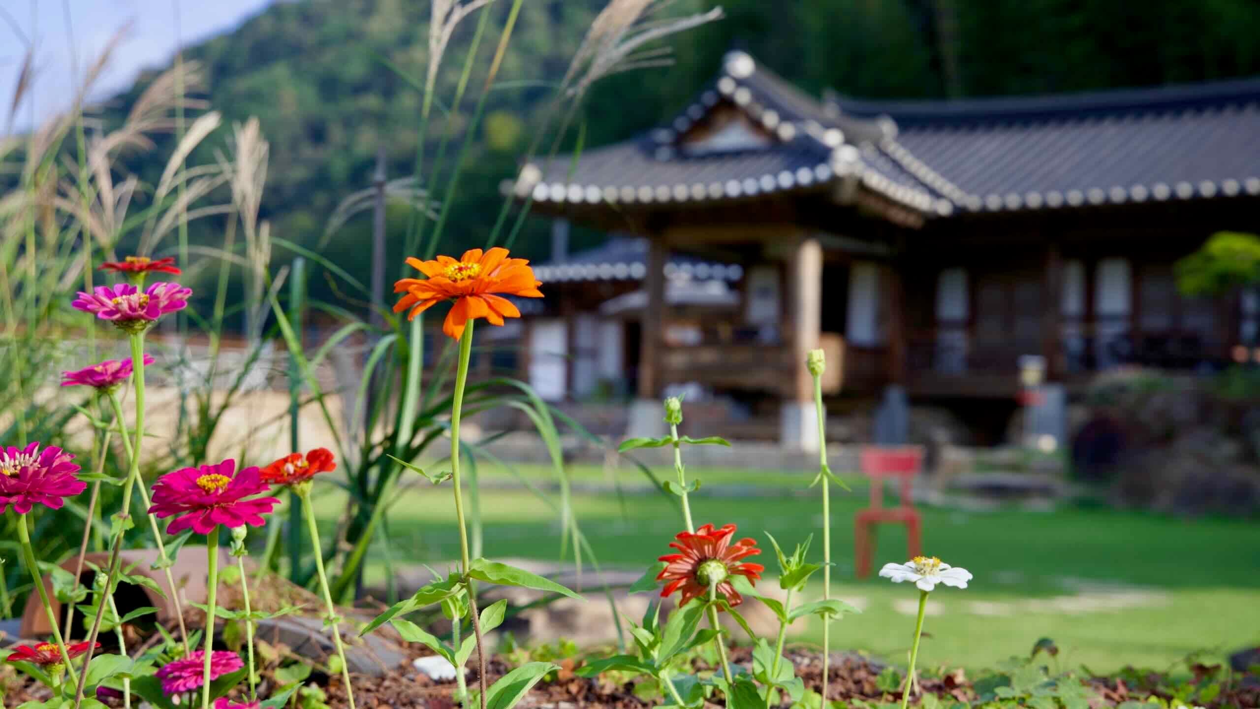
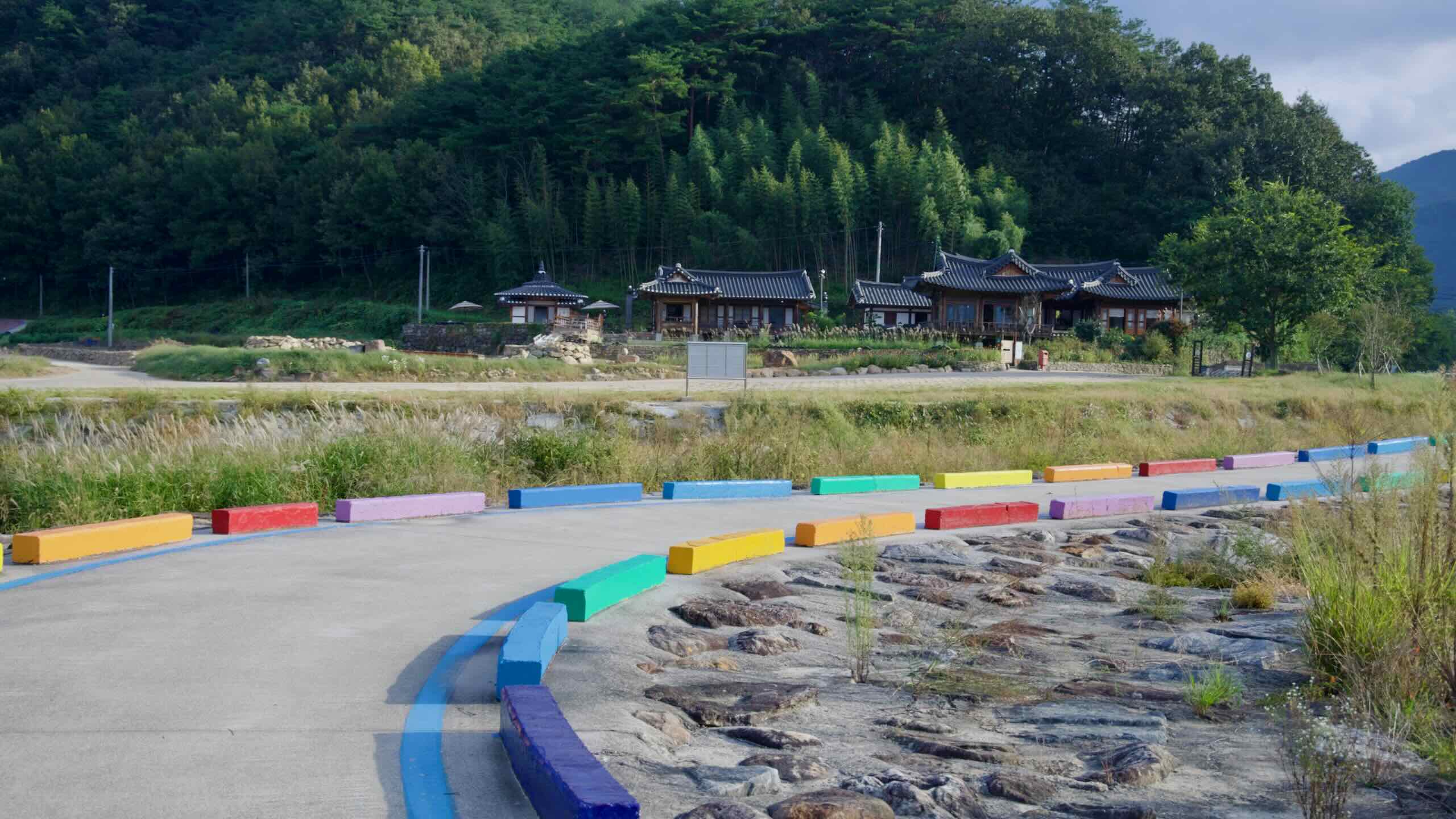
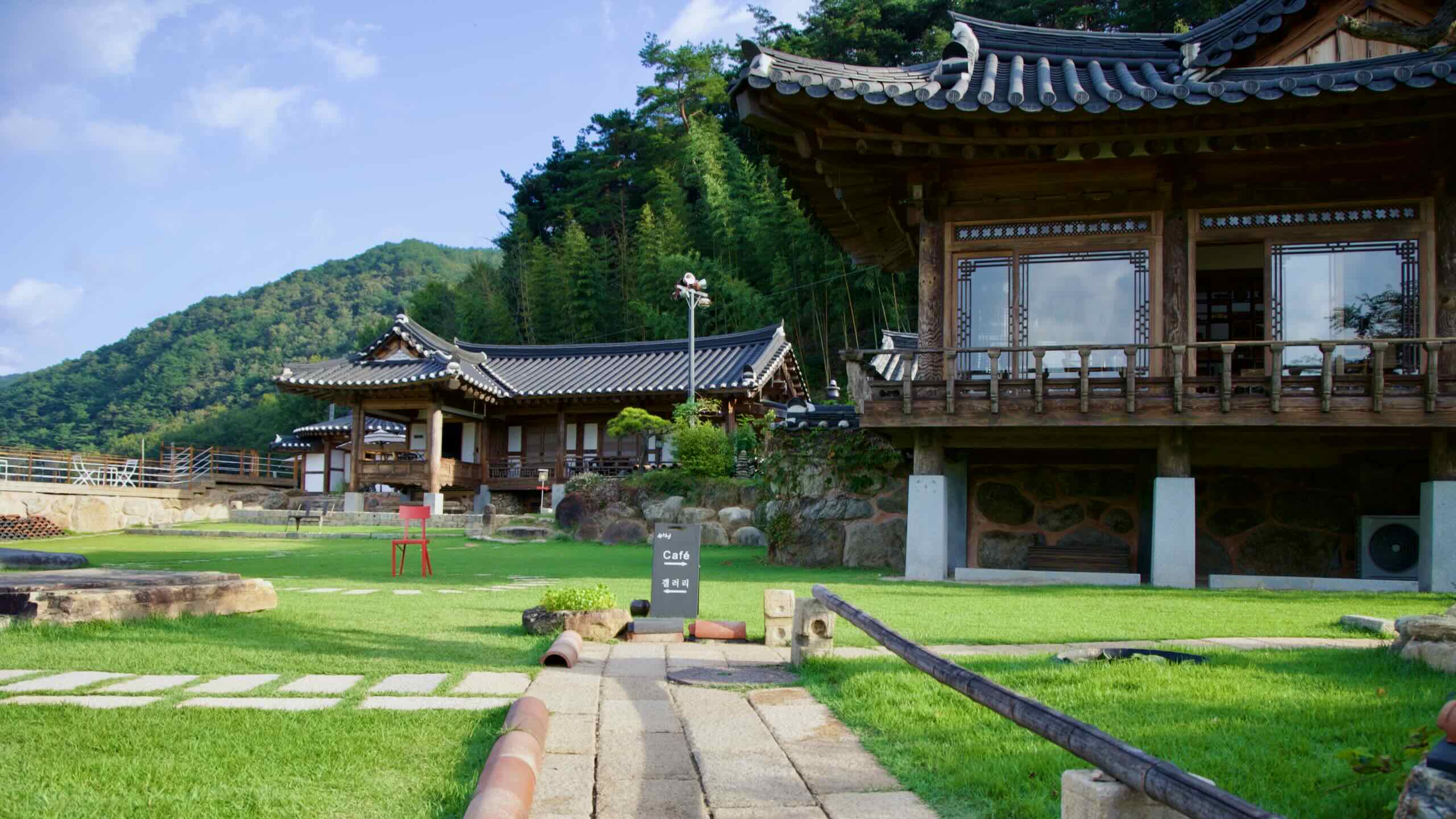
이곳은 두가헌(지도)이라 불리며, 카페이자 갤러리로 운영되고 있습니다. 2012년 한국한옥대상 수상작으로, 전통 한옥의 소박한 미와 현대적 편안함이 조화를 이루는 공간입니다. 화단, 돌담, 옹기들이 마당을 둘러싸고 있으며, 내부 카페에서는 커피, 전통차, 계절 음료, 그리고 수제 빙수를 포함한 디저트를 제공합니다. 특히 이 빙수가 시그니처 메뉴입니다. 갤러리에서는 다기 전시가 정기적으로 열립니다.
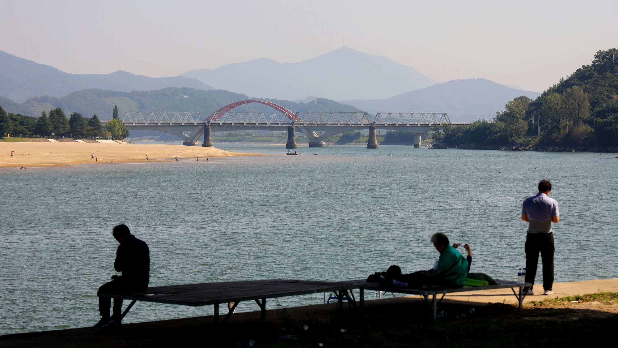
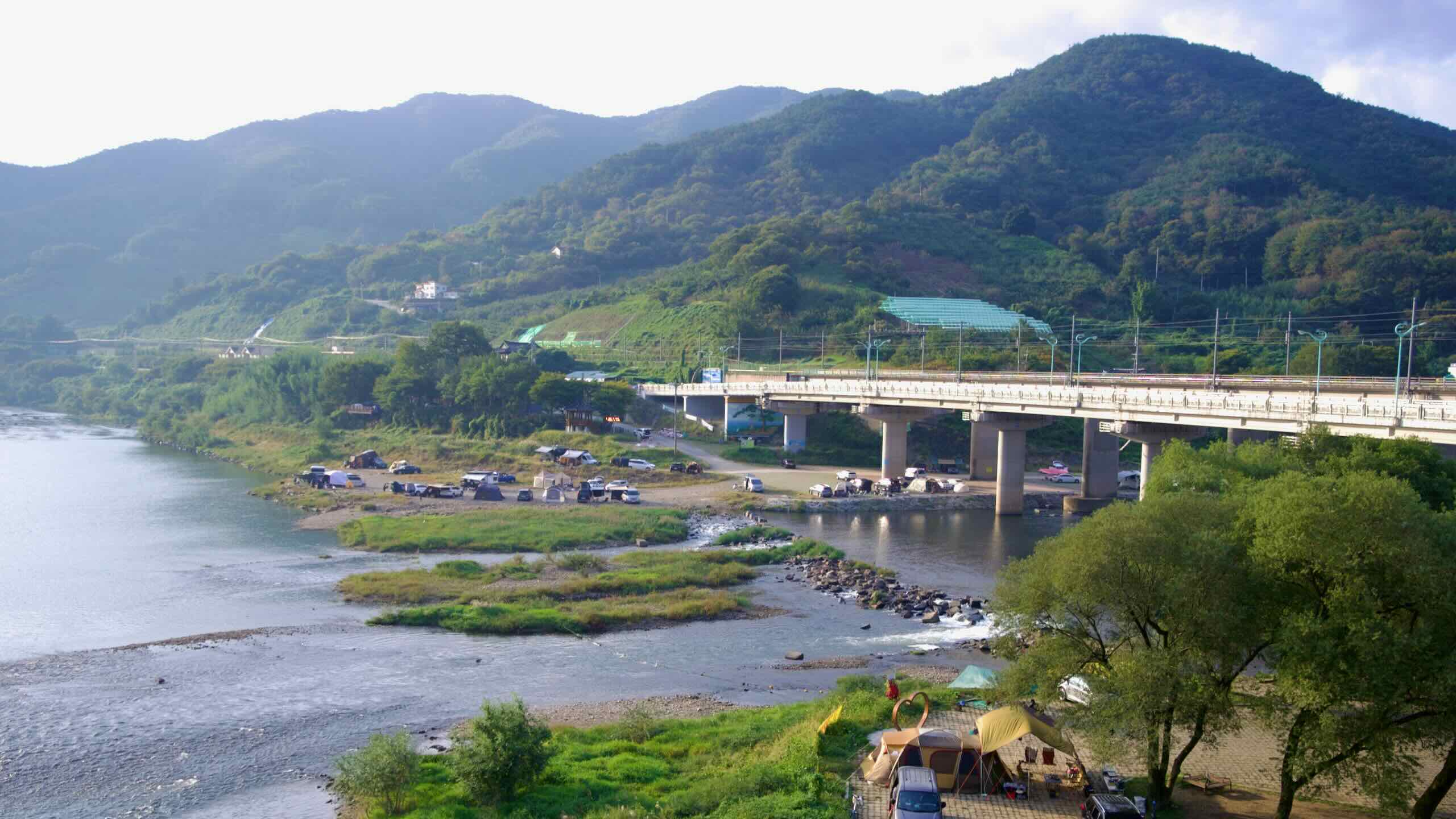
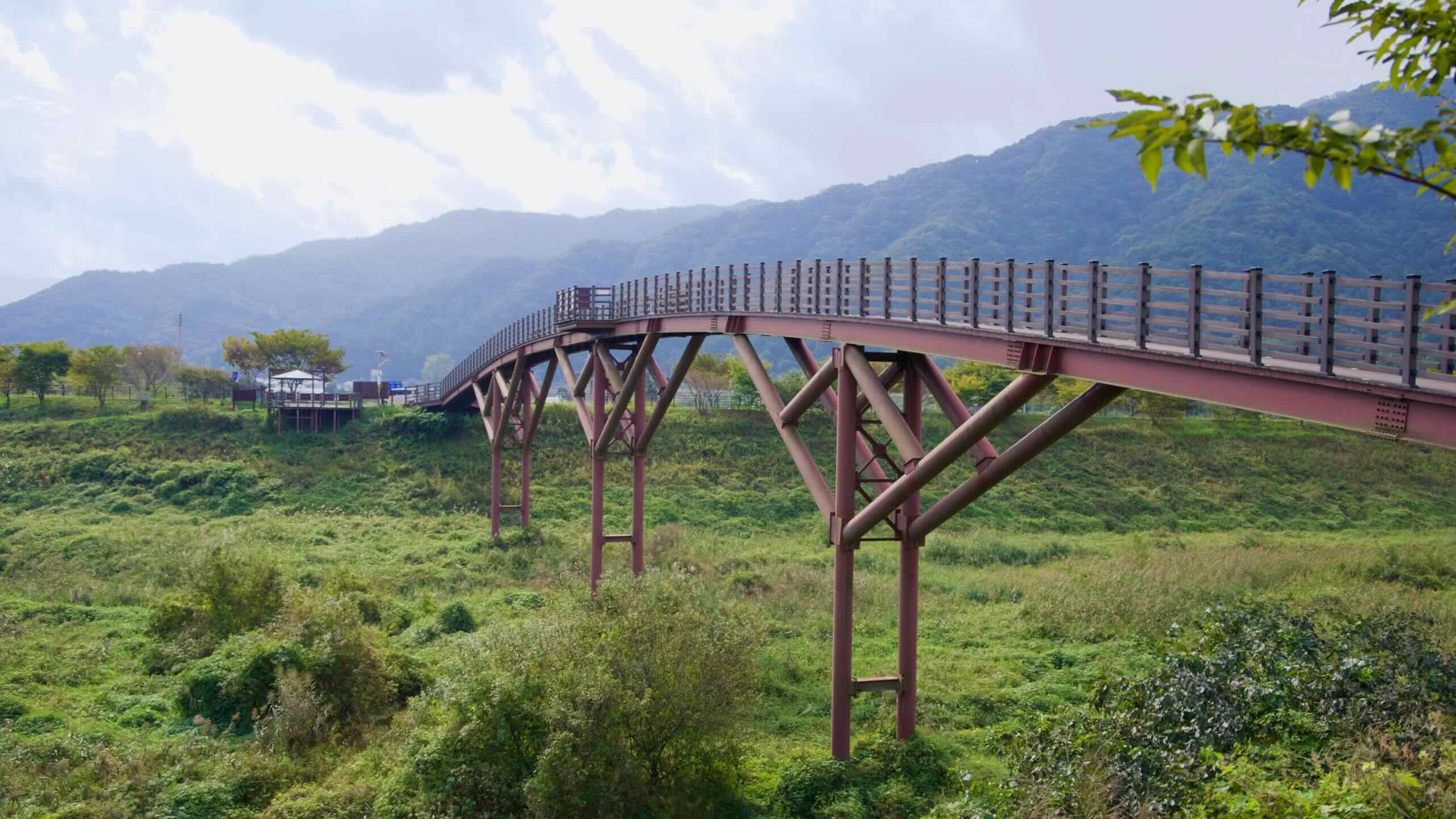
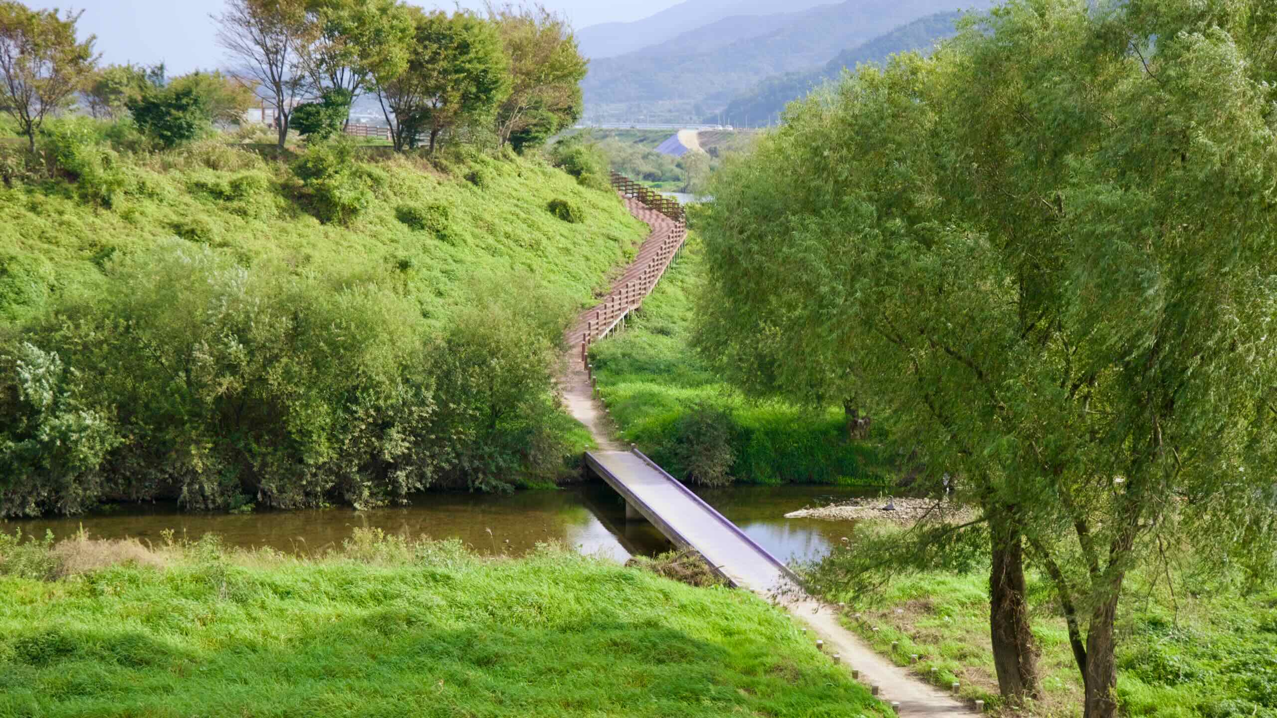
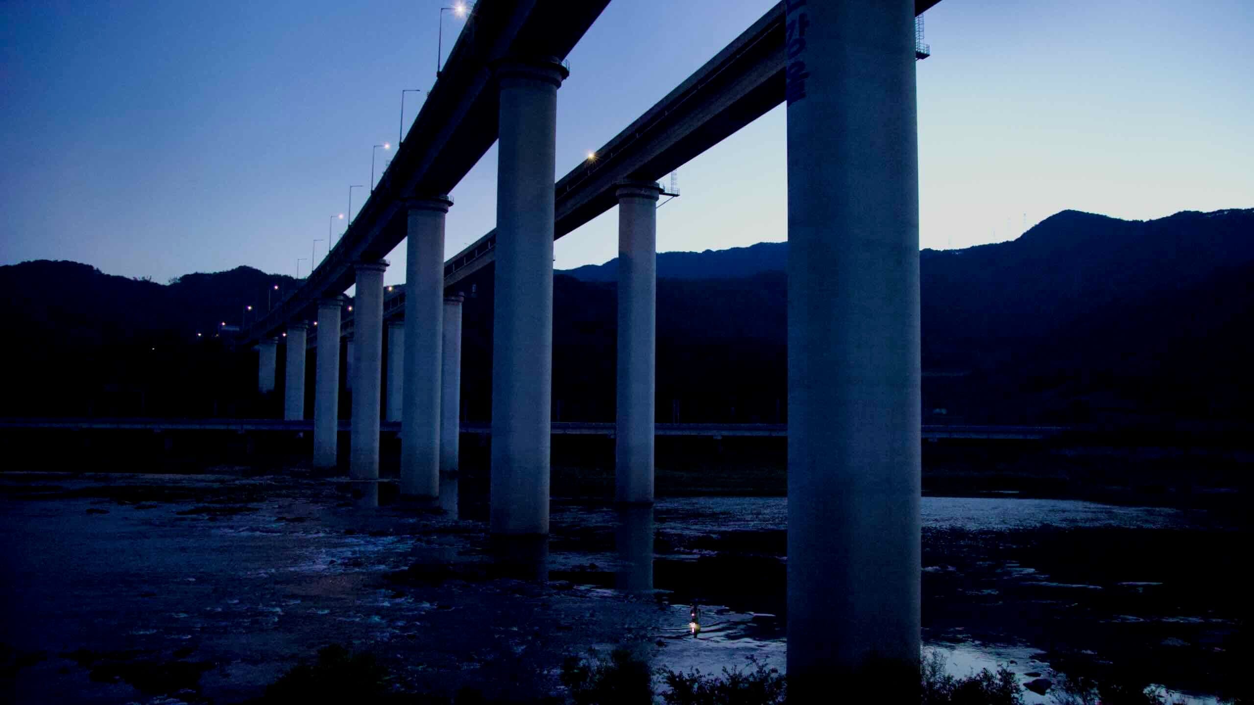
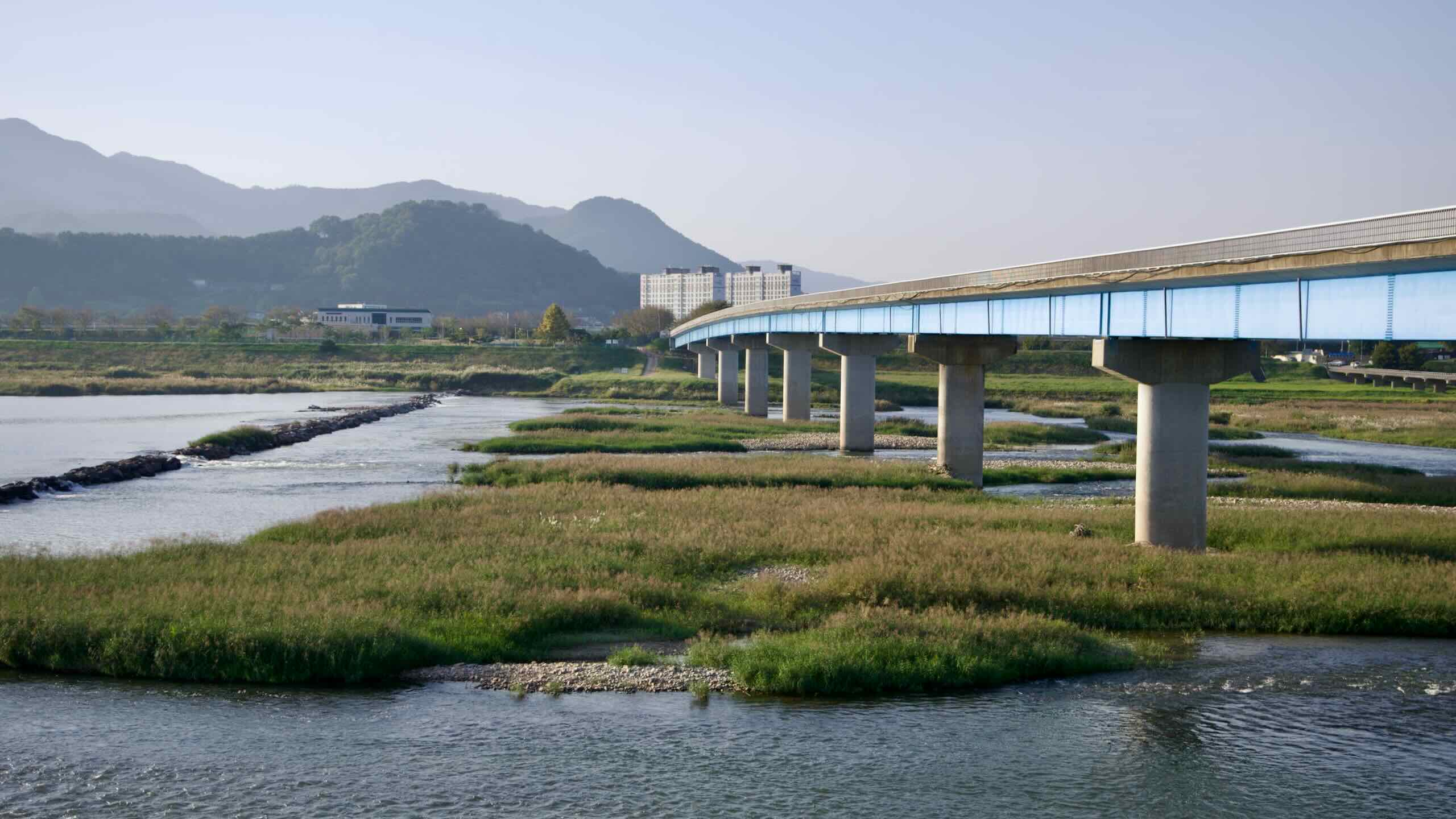
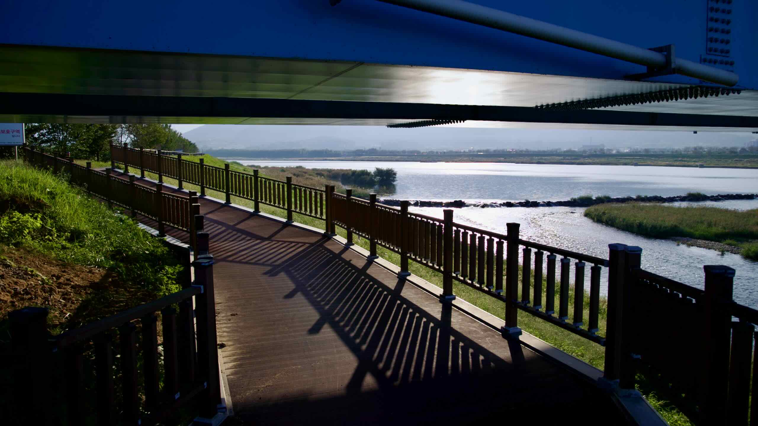
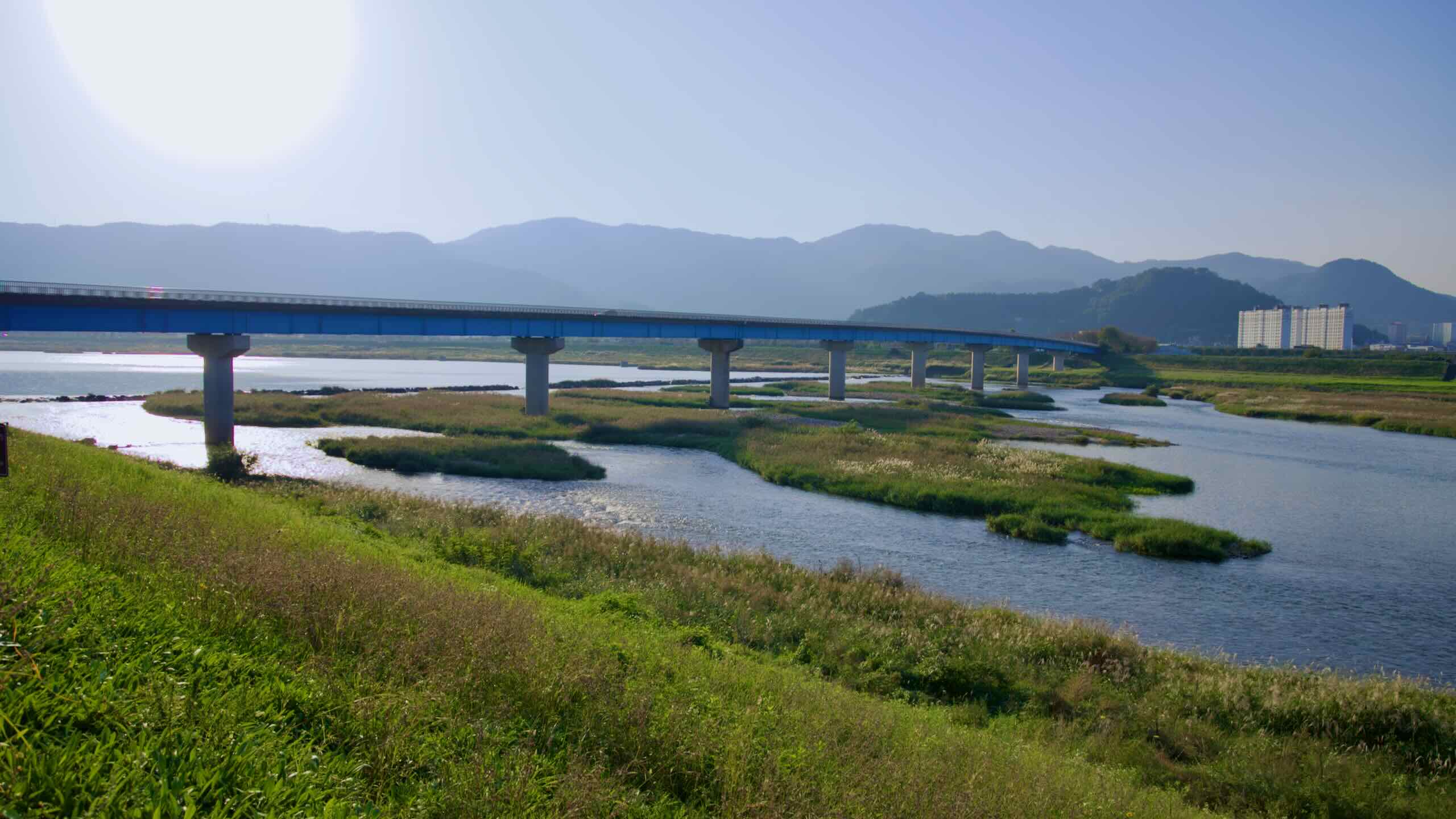
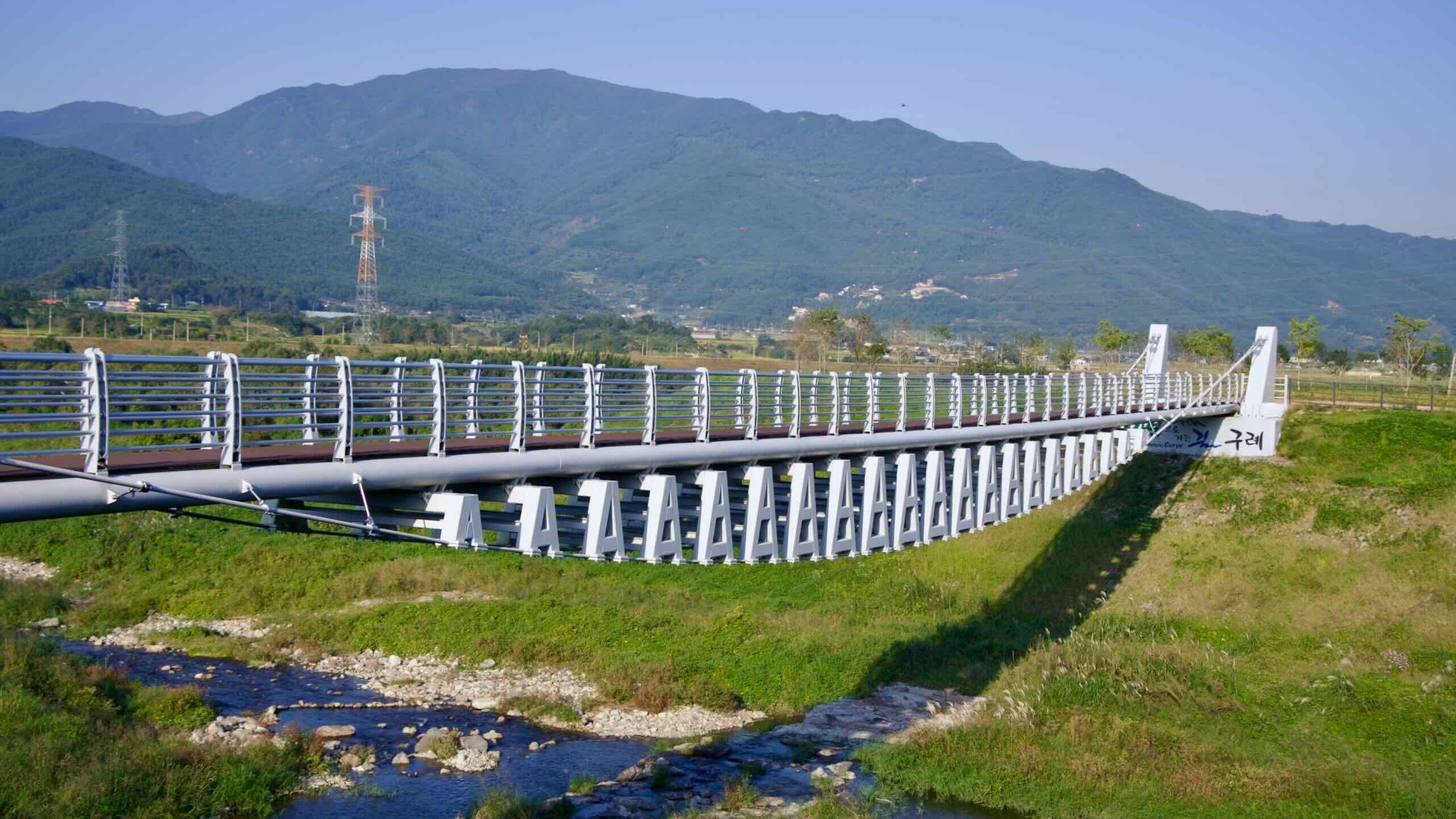
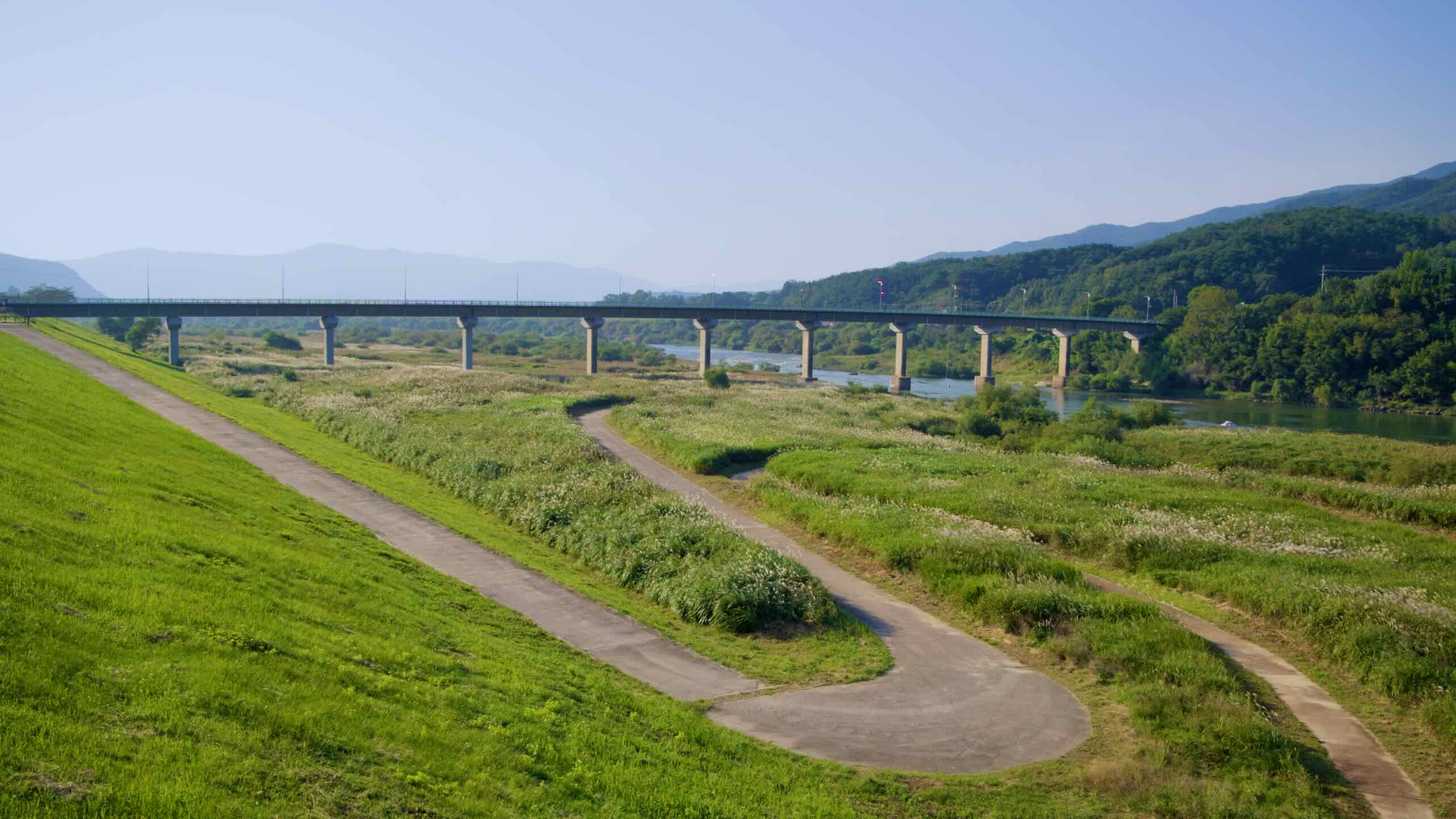
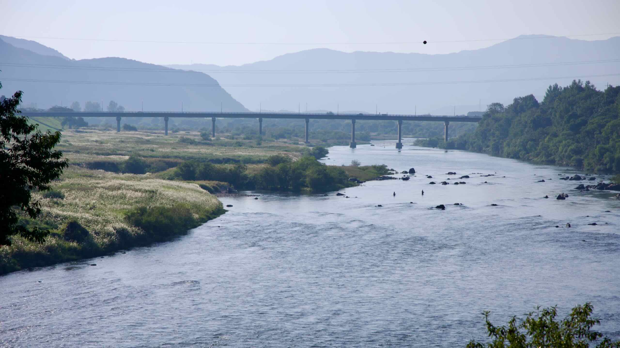
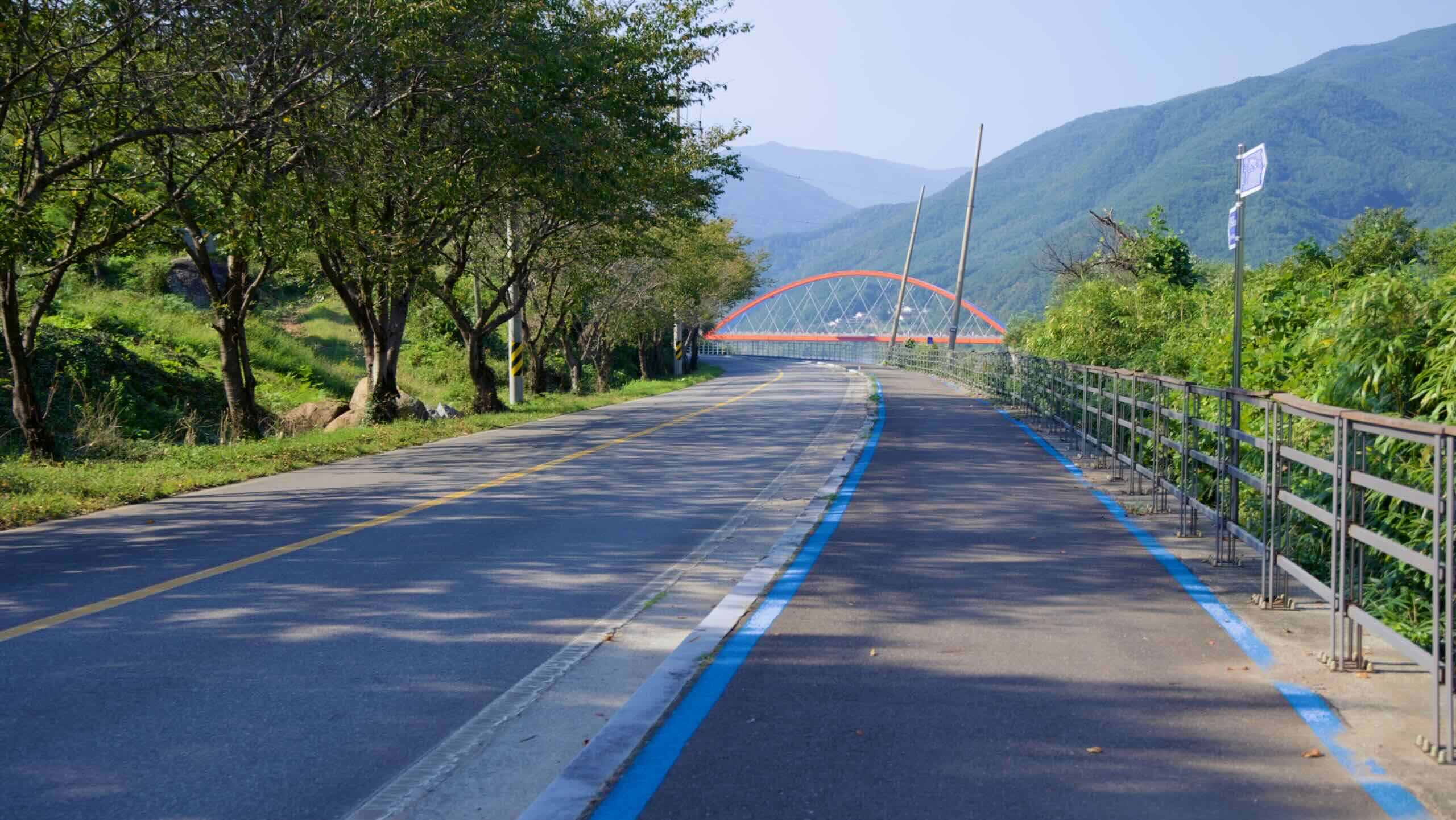
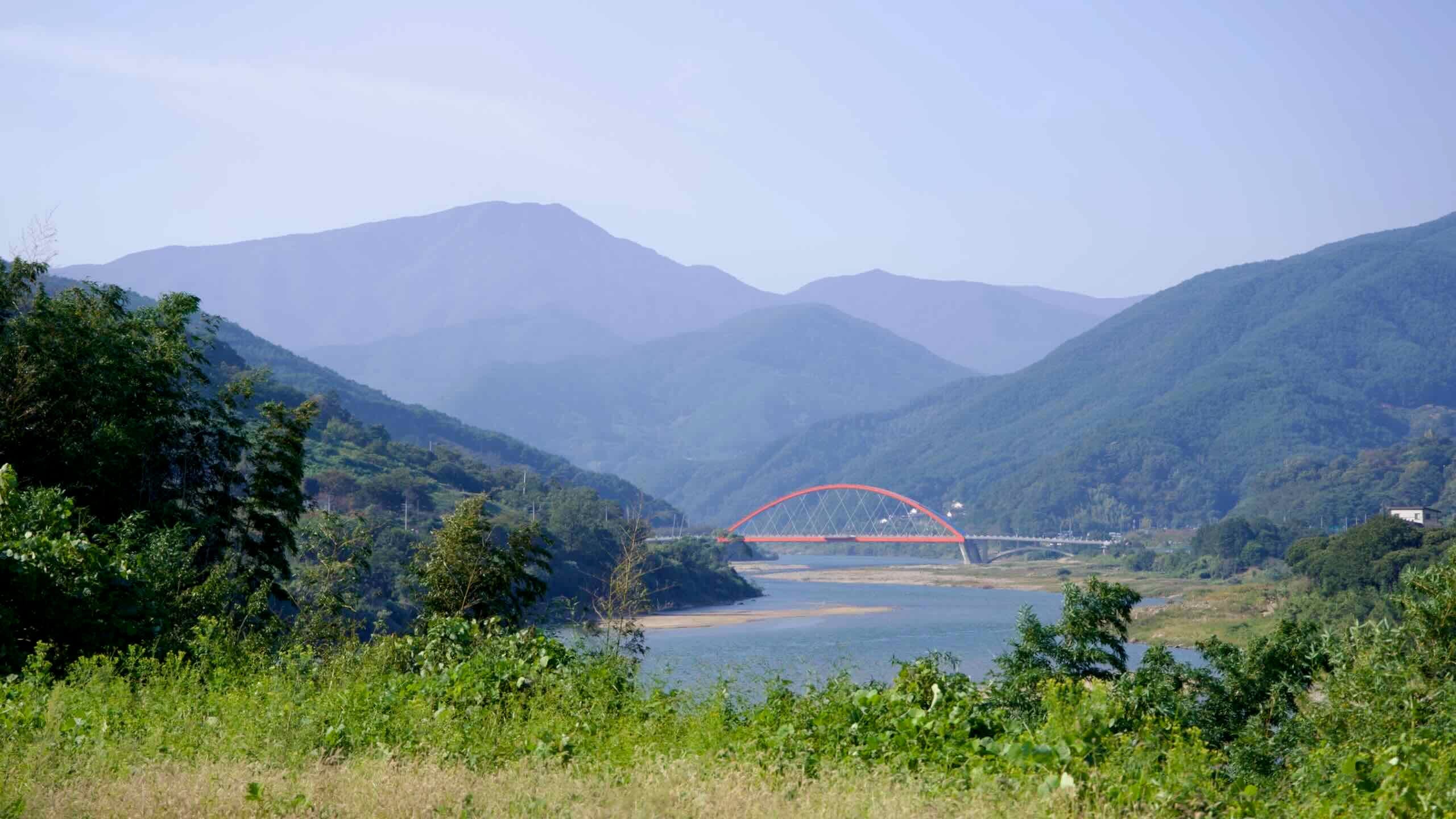
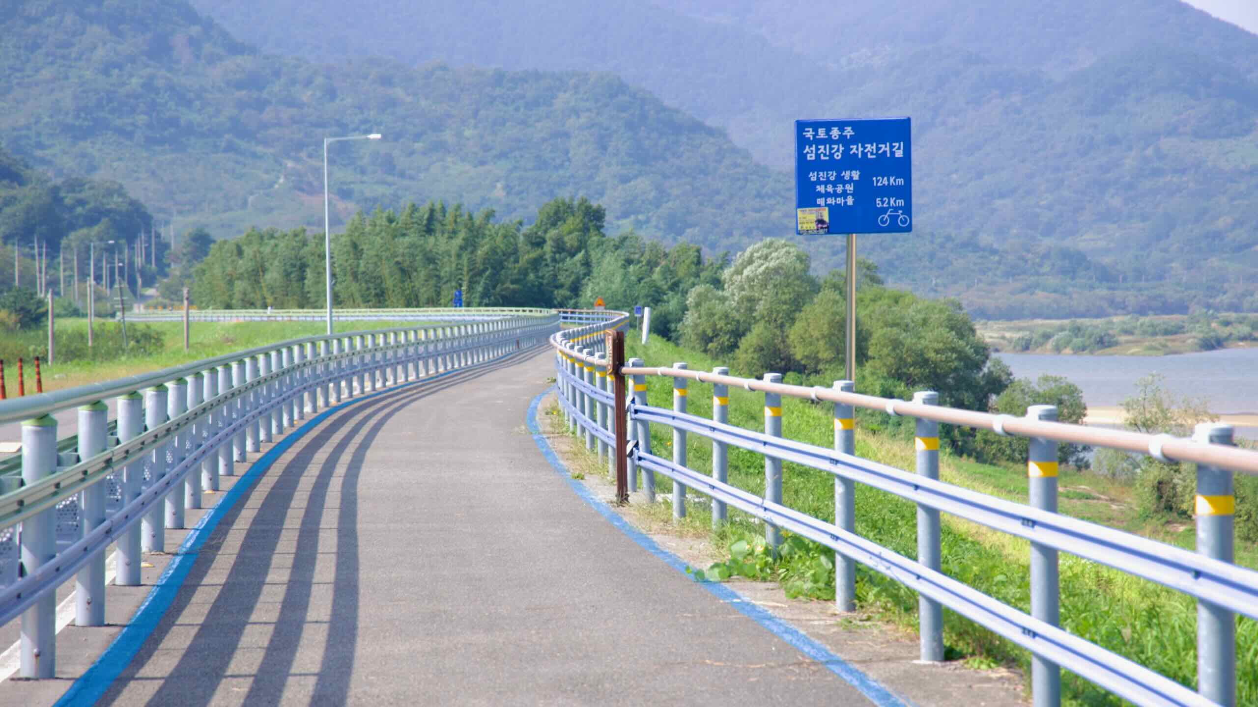
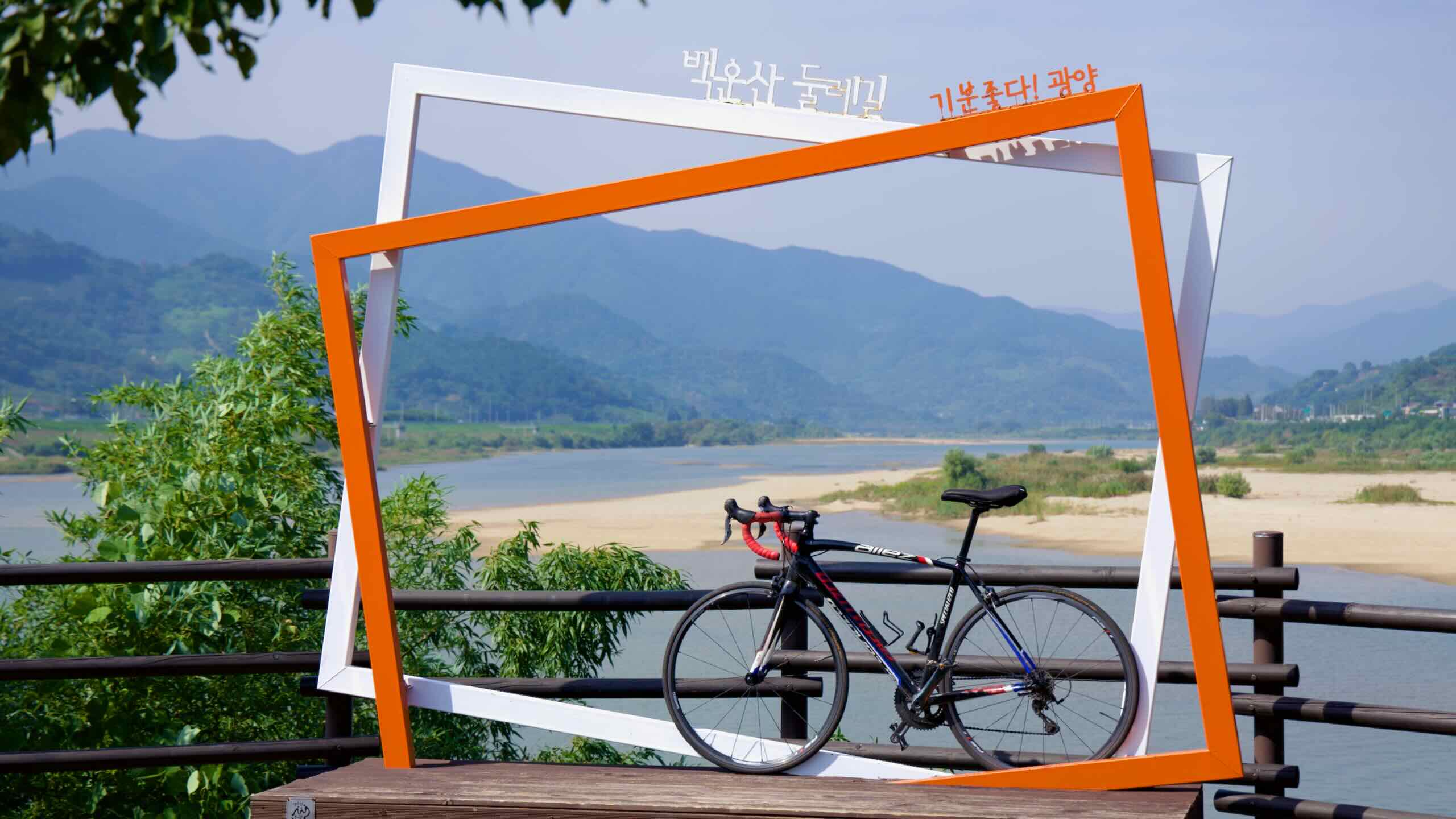
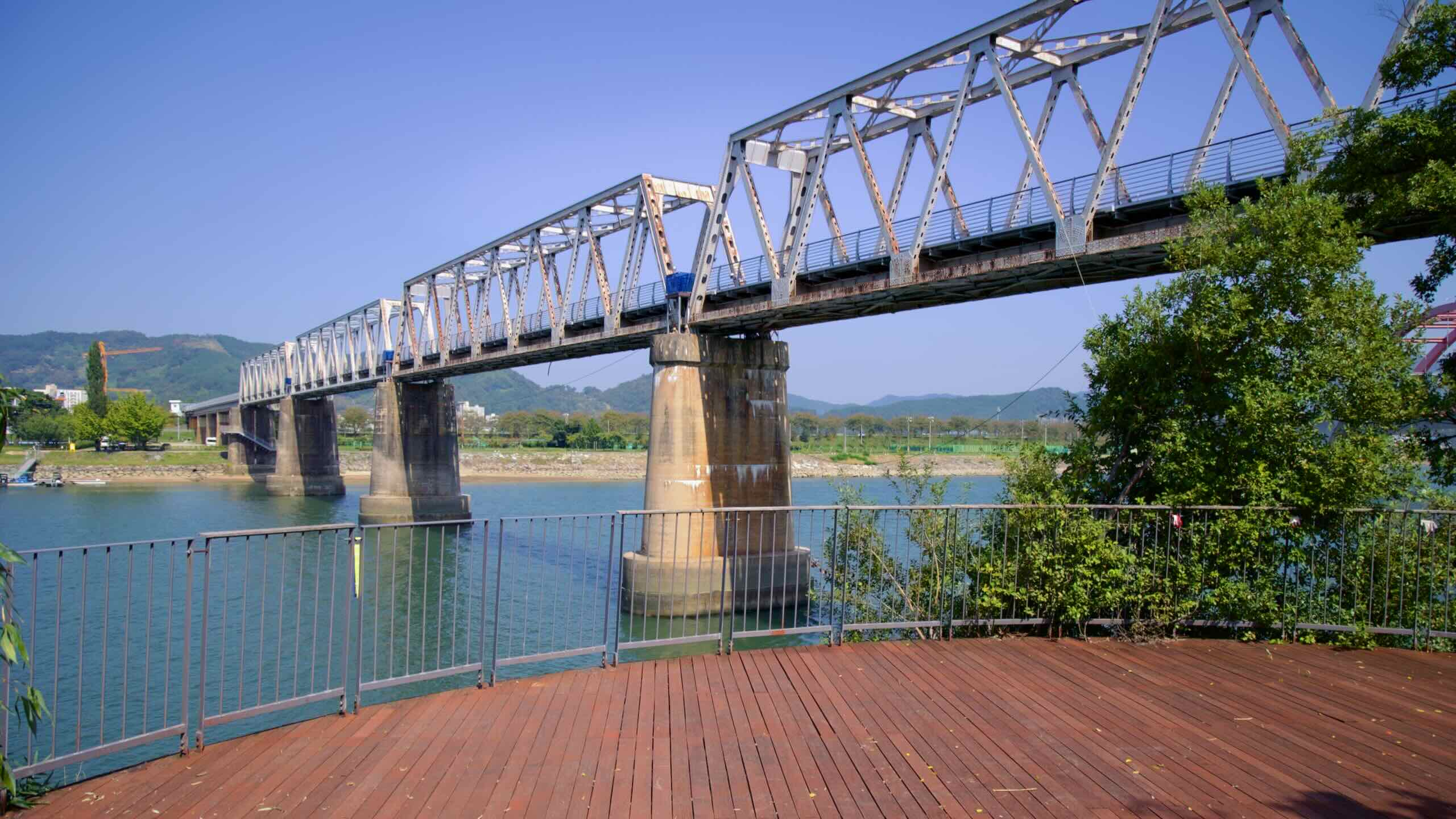
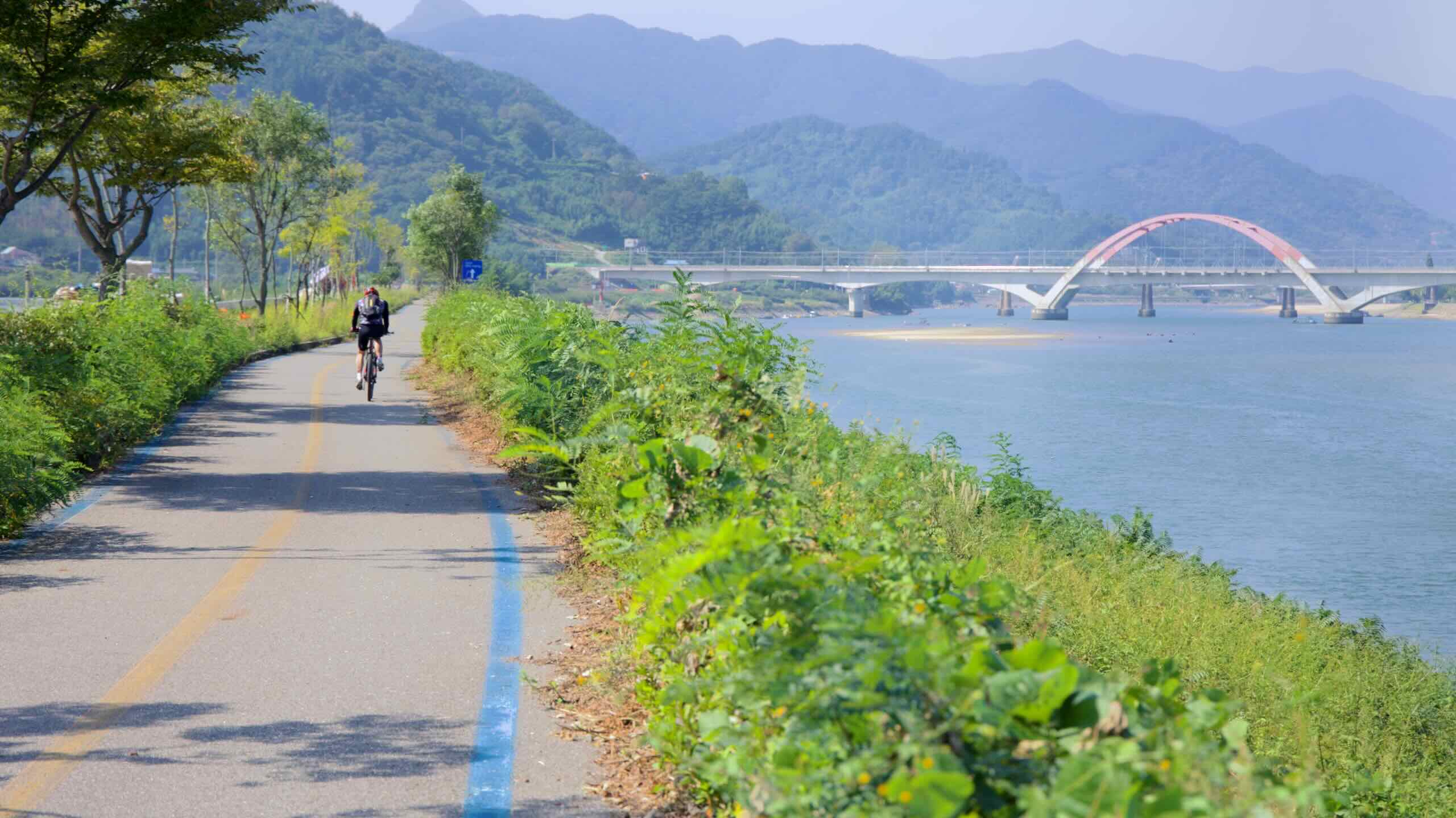
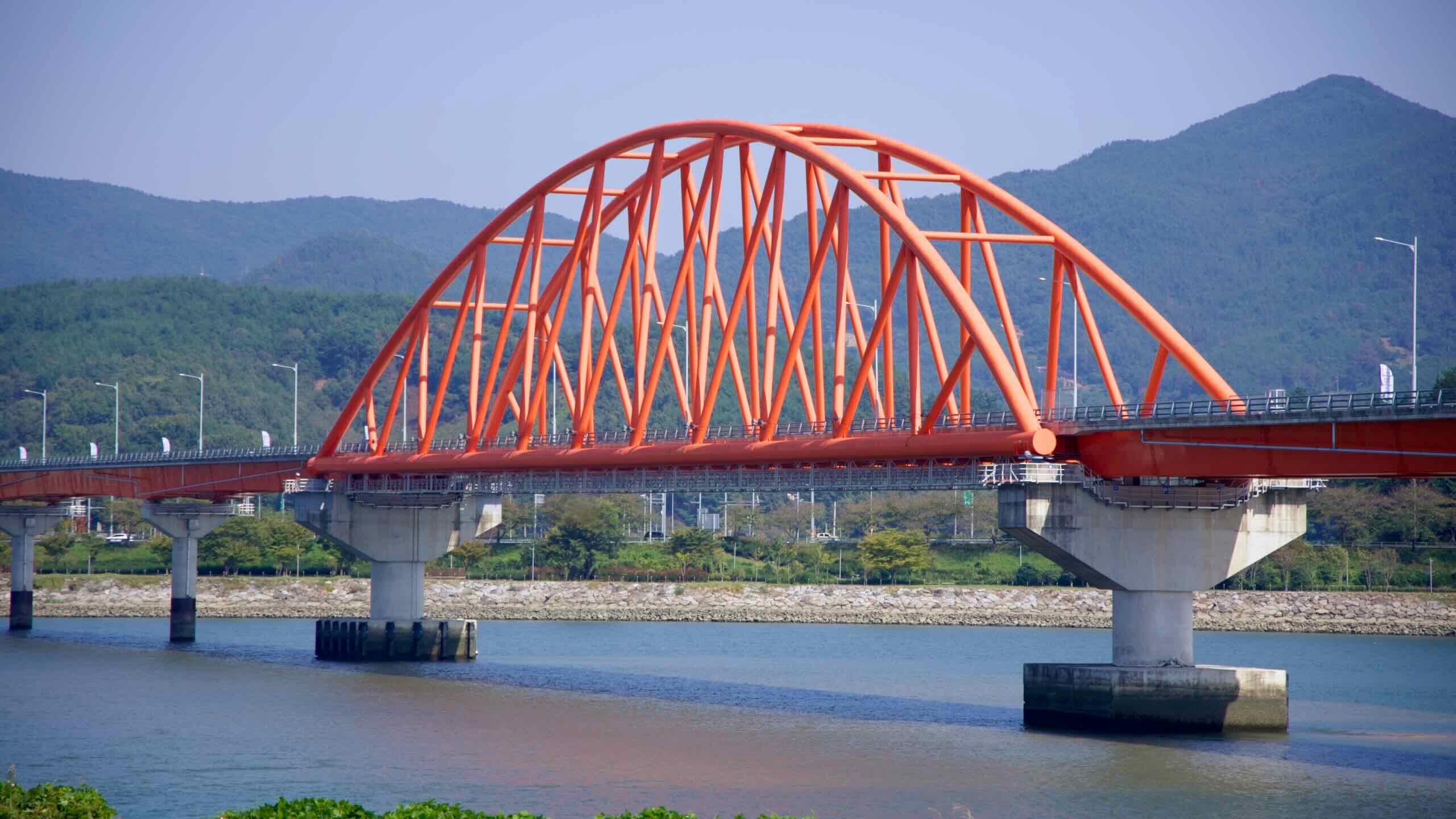
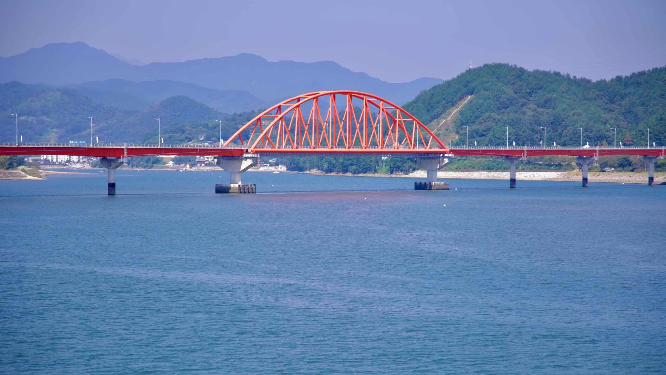
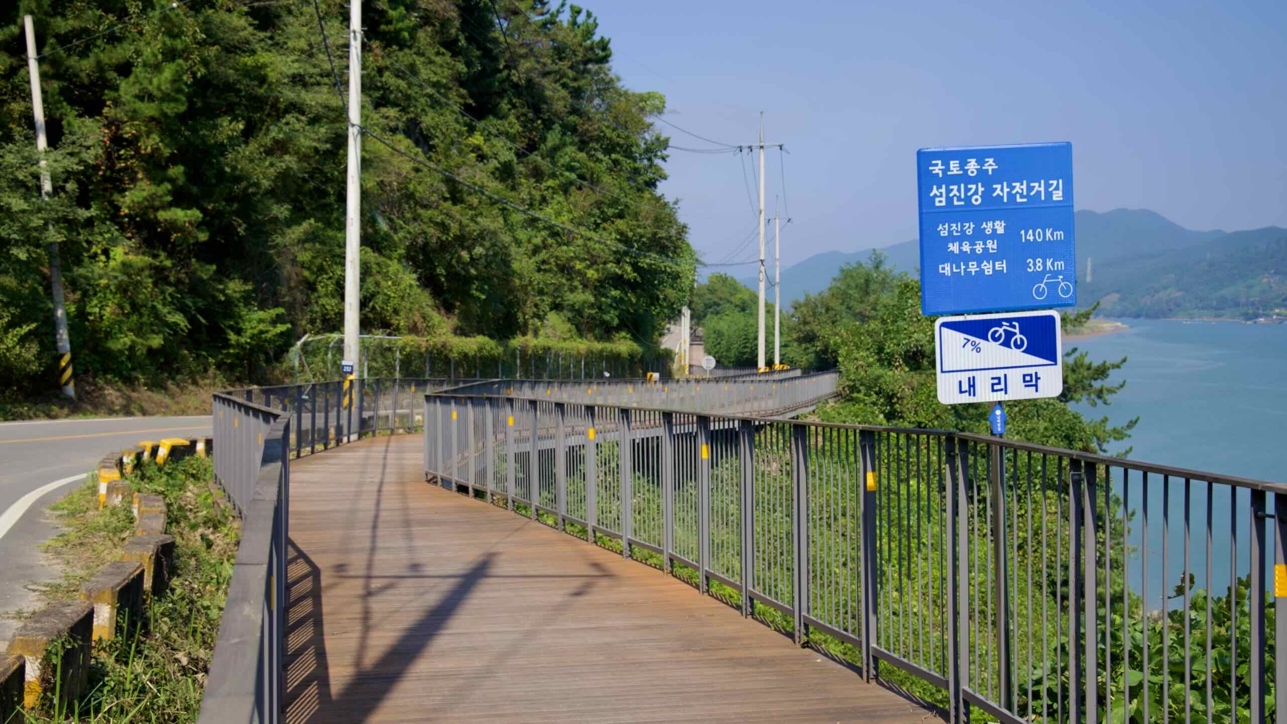
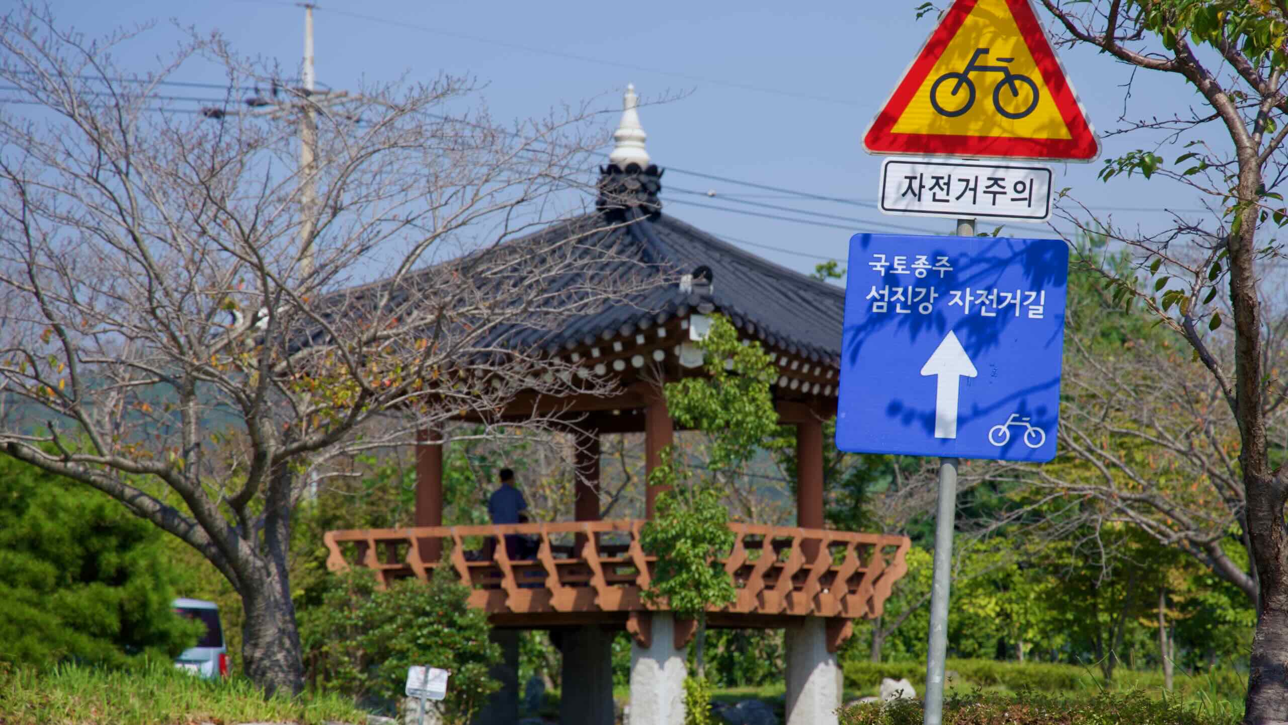
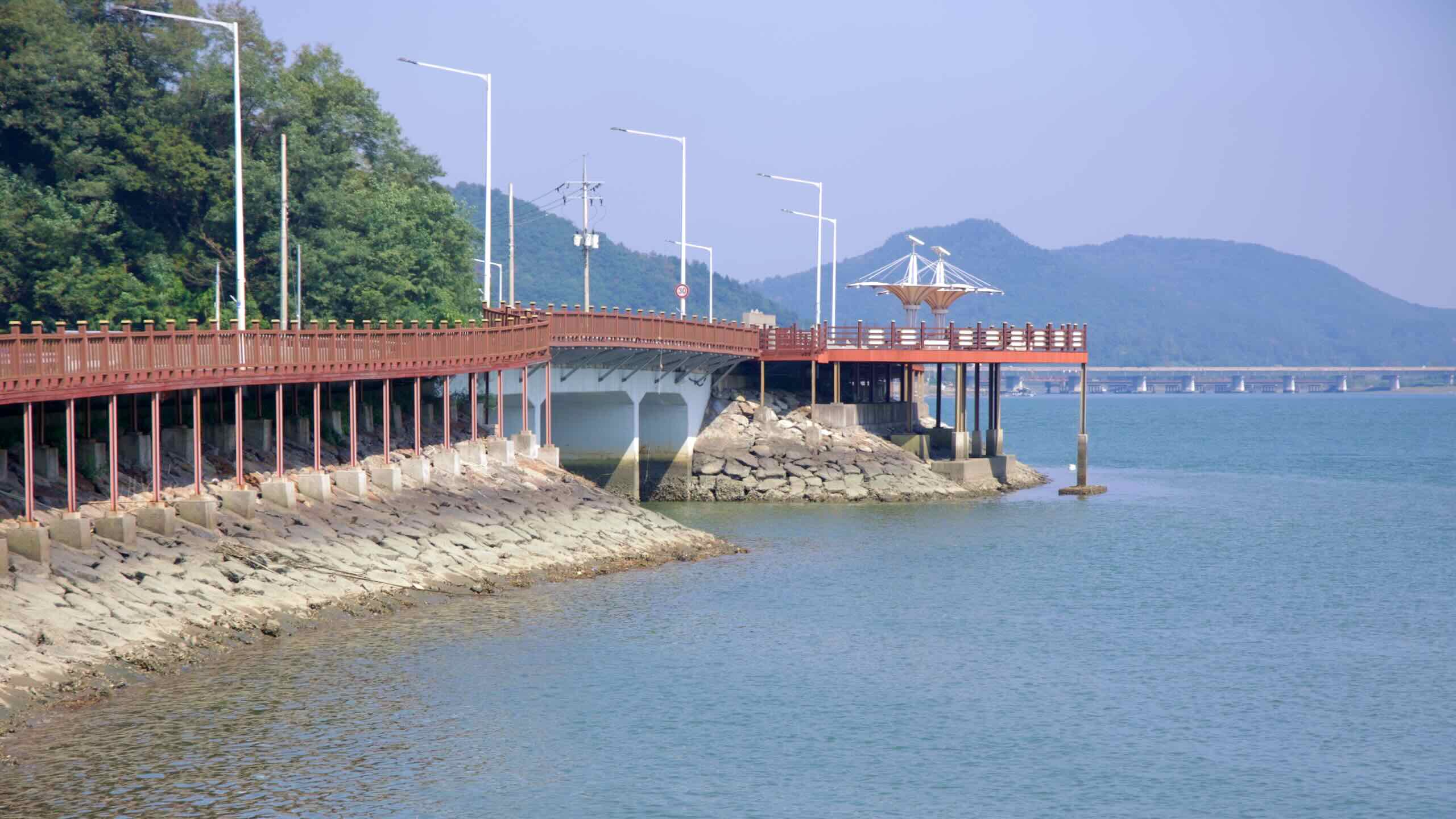
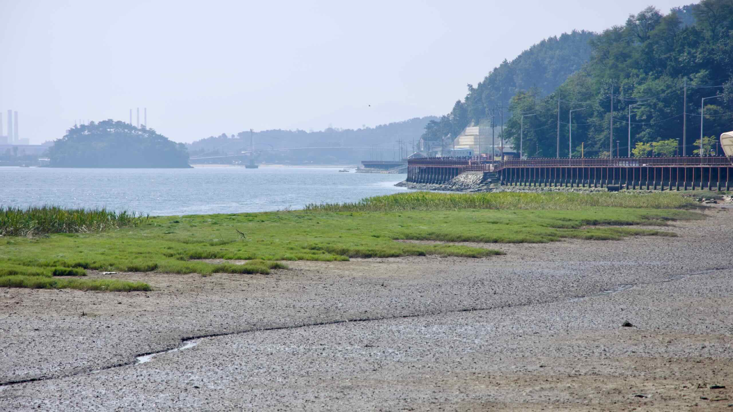
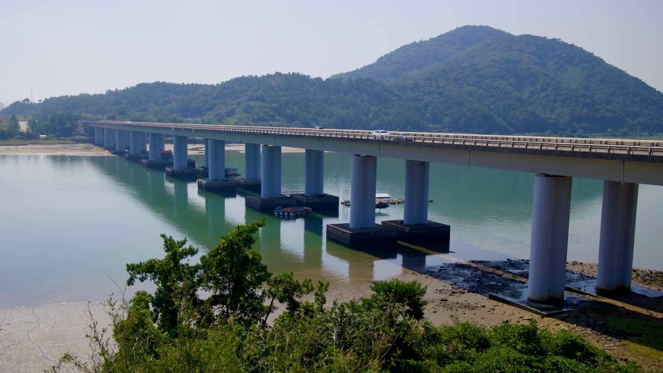
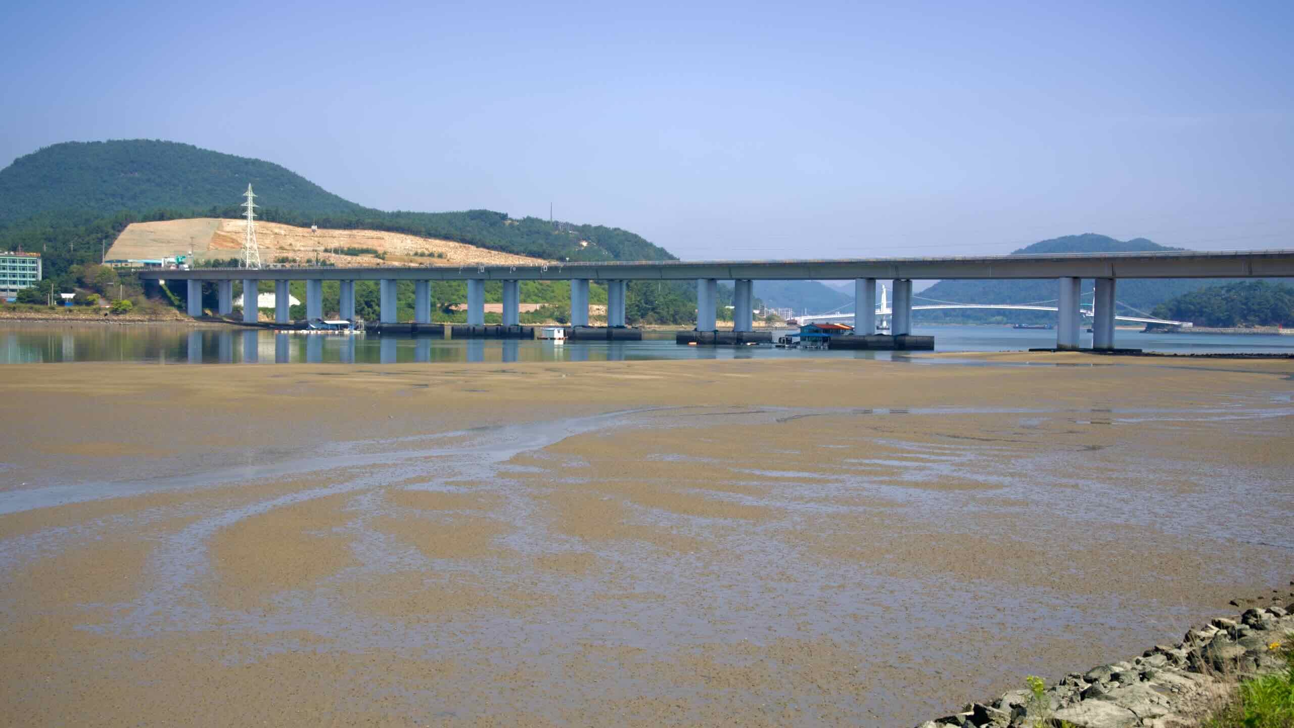
또 1킬로미터 정도 더 나아가면, 커다란 아치형 케이블로 떠받쳐진 섬진강 현수교가 눈앞에 펼쳐집니다. 섬진강 자전거길의 또 다른 명소입니다.
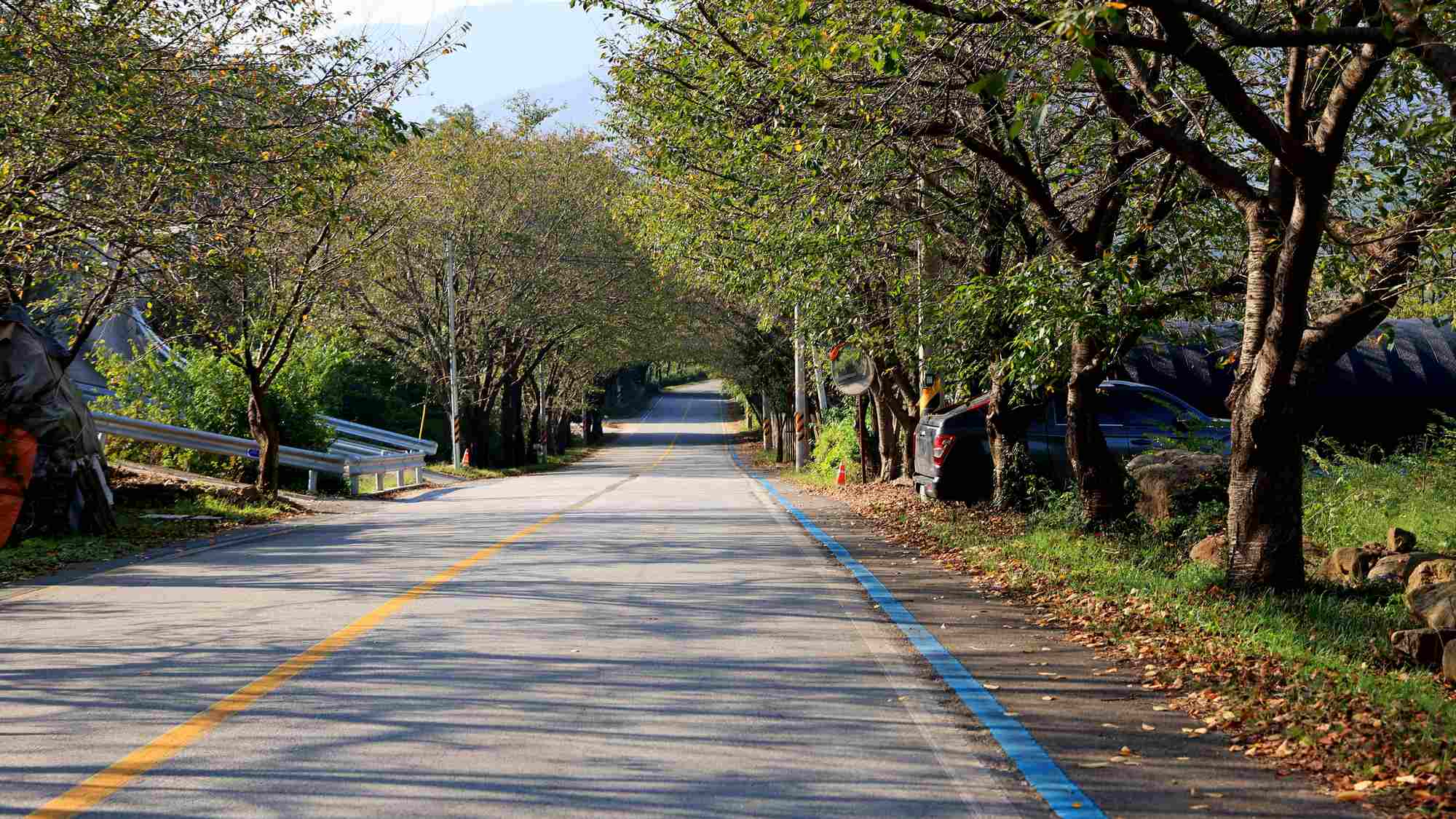
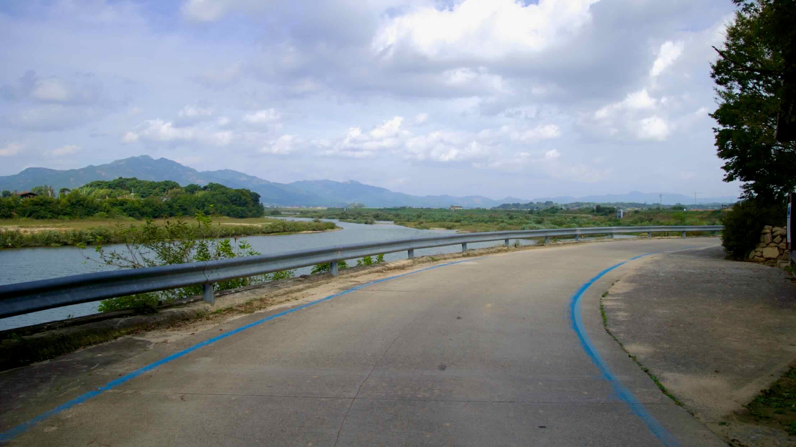
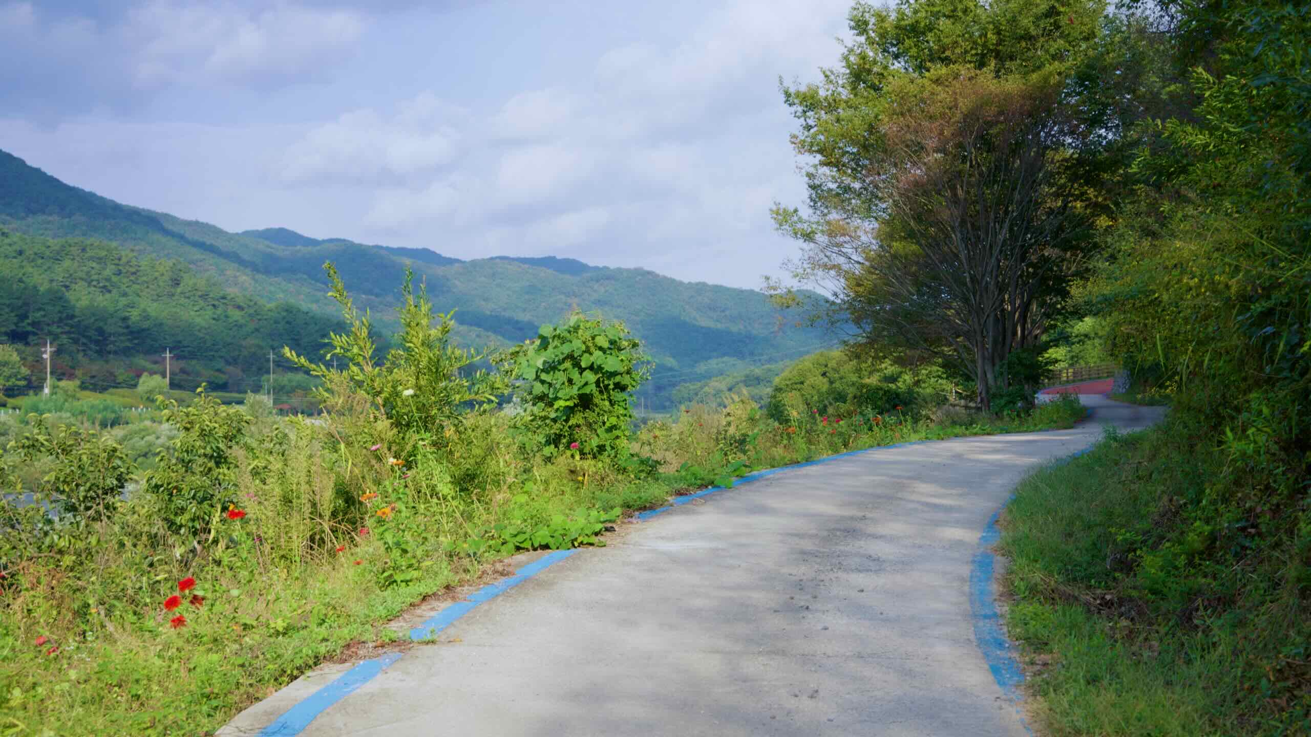
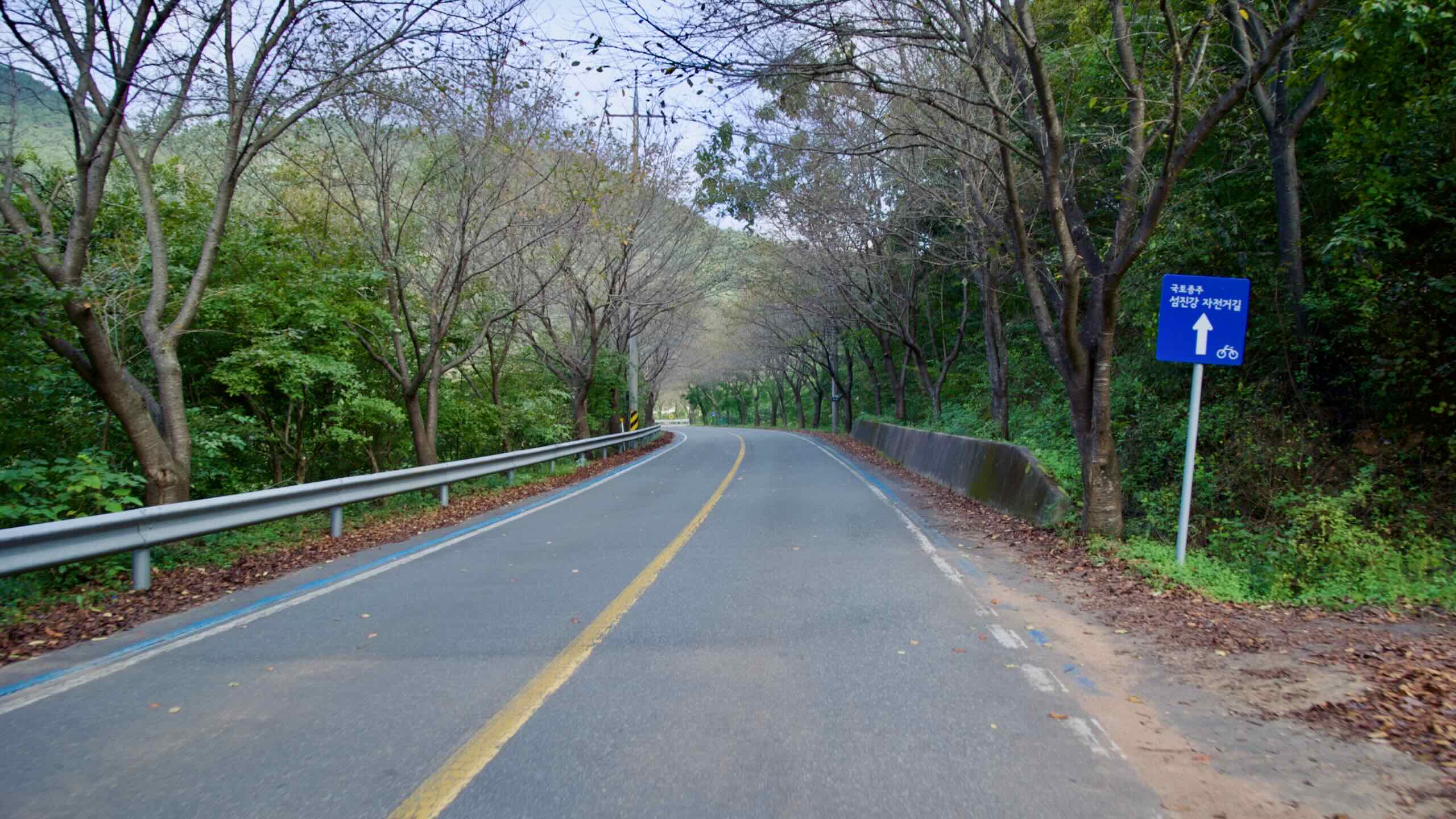
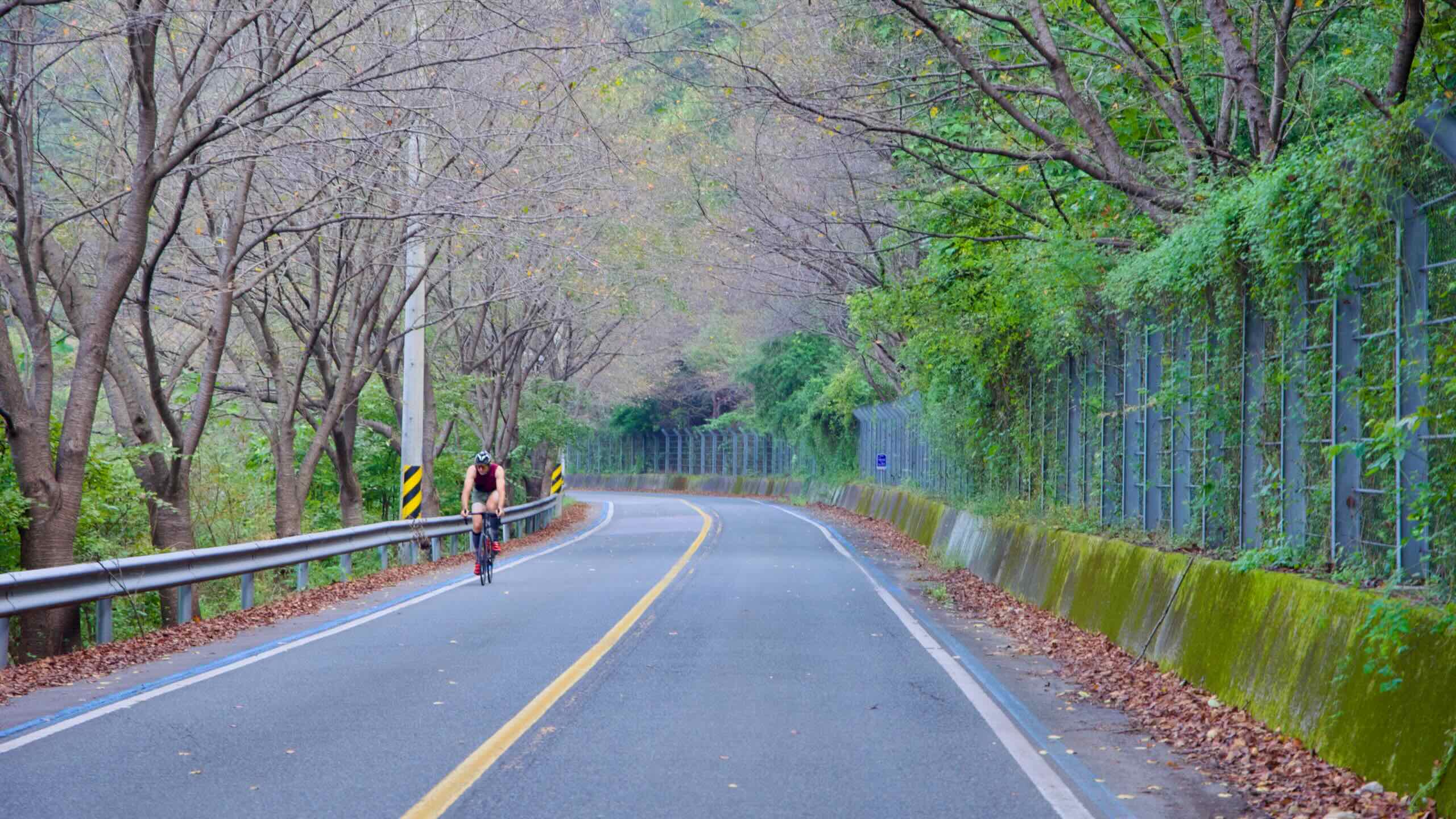
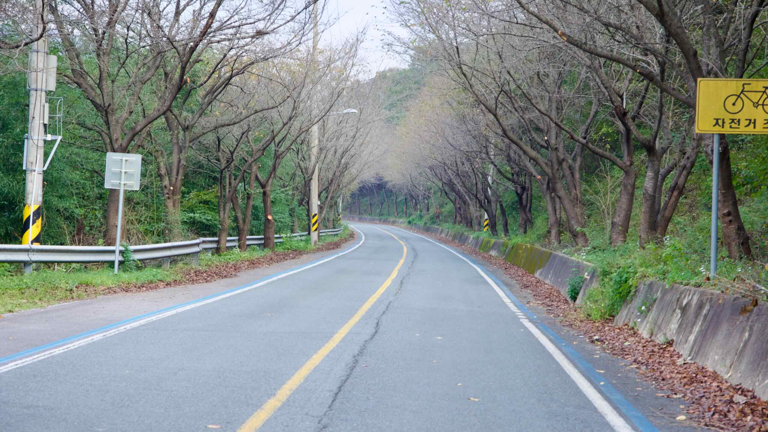
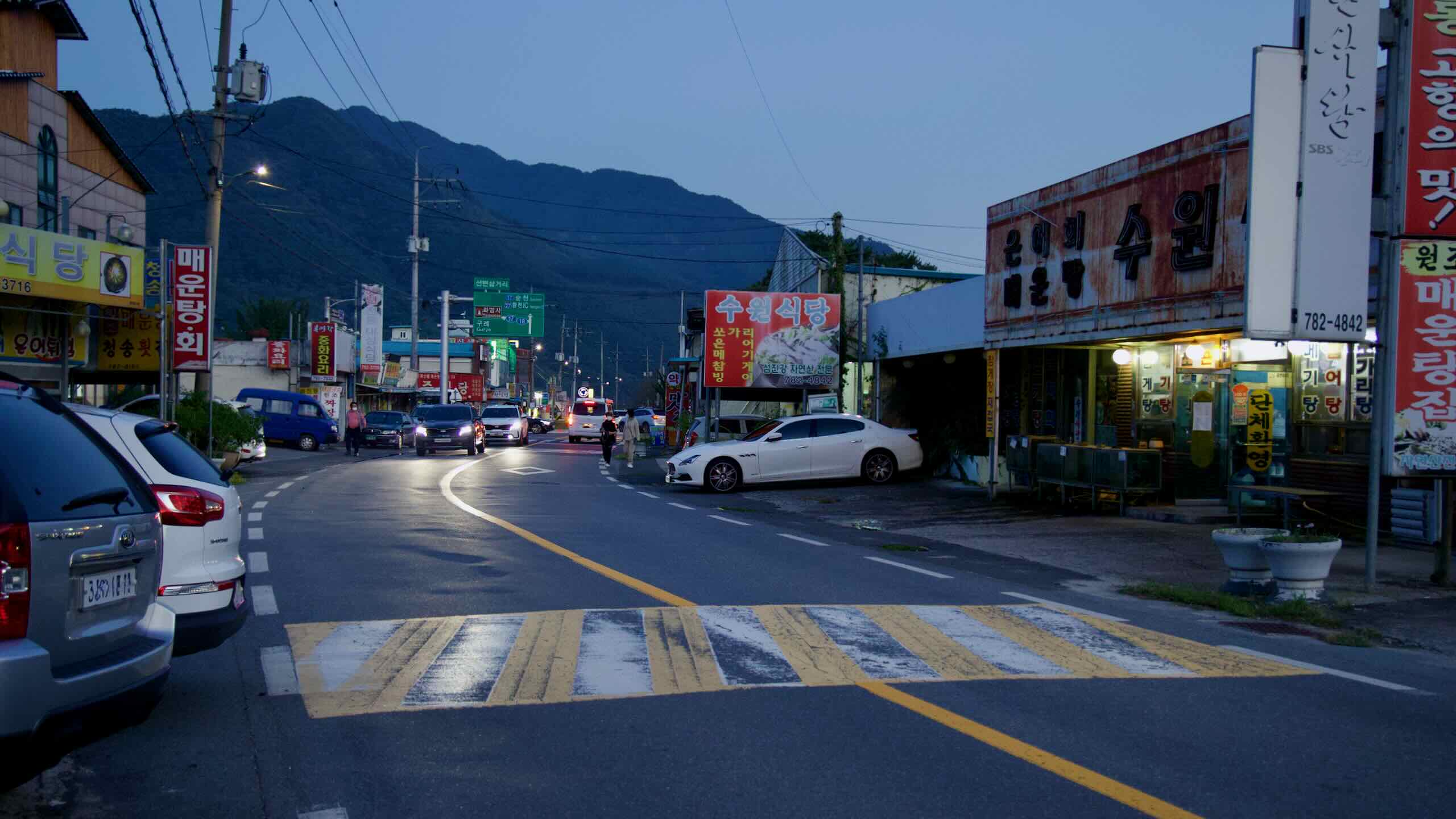
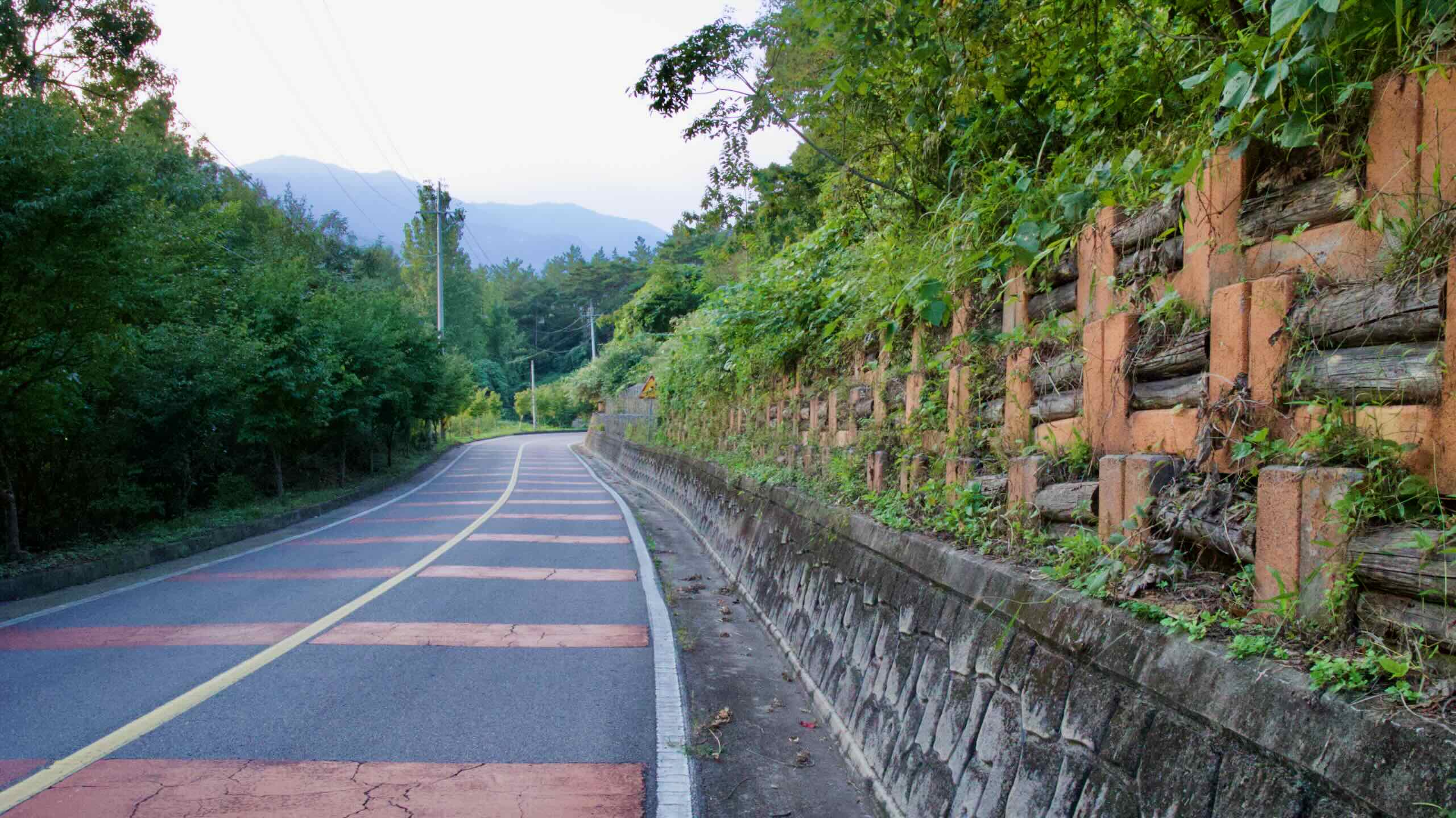
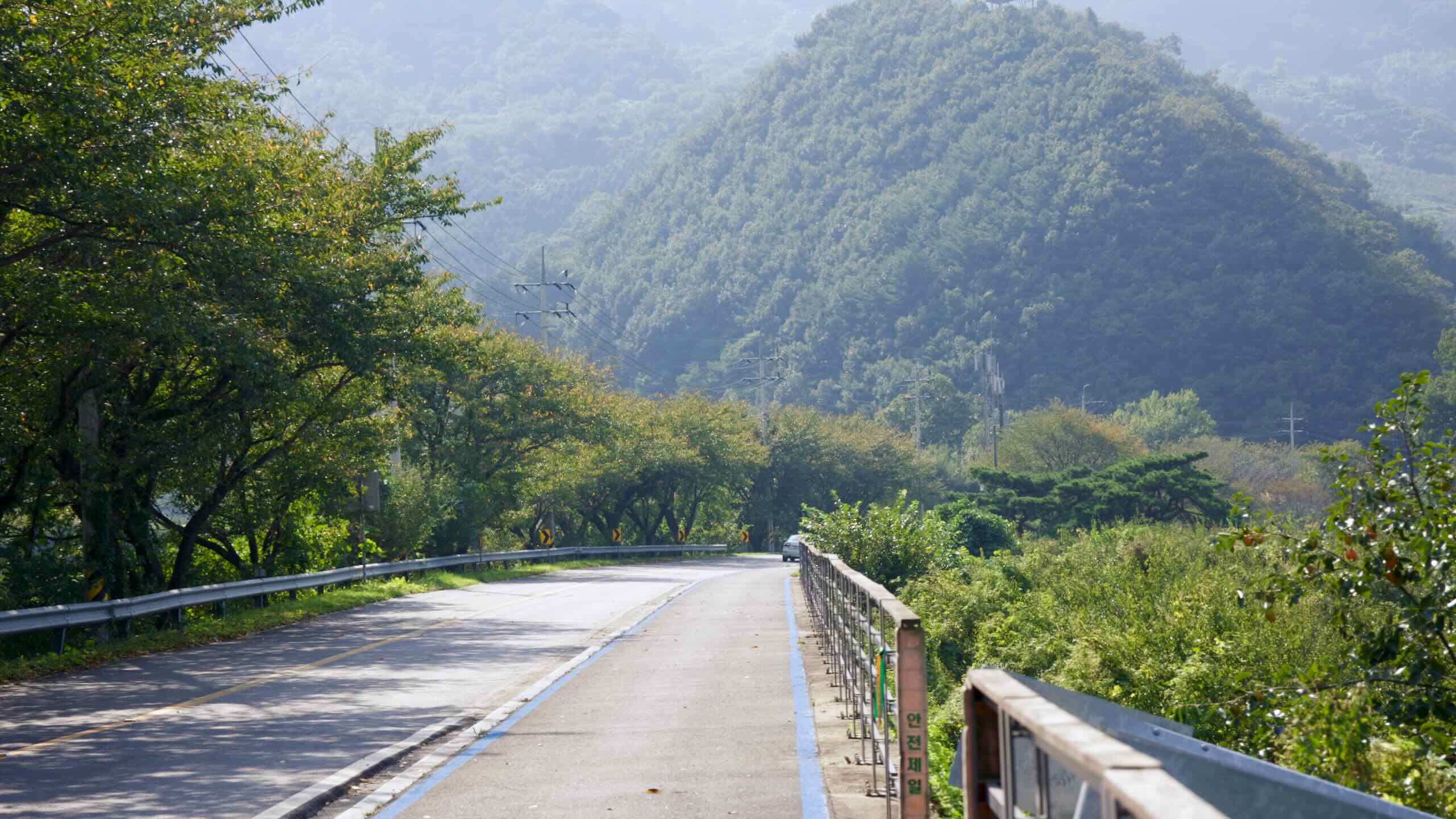
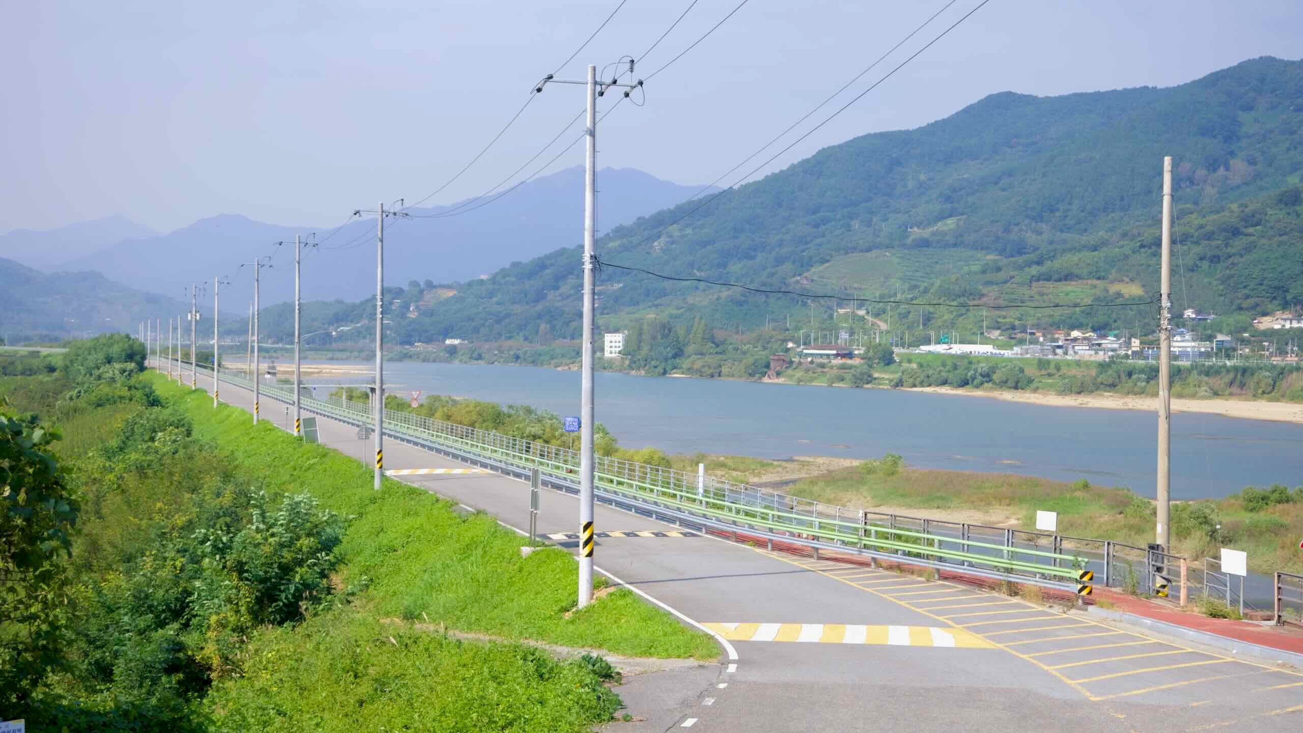
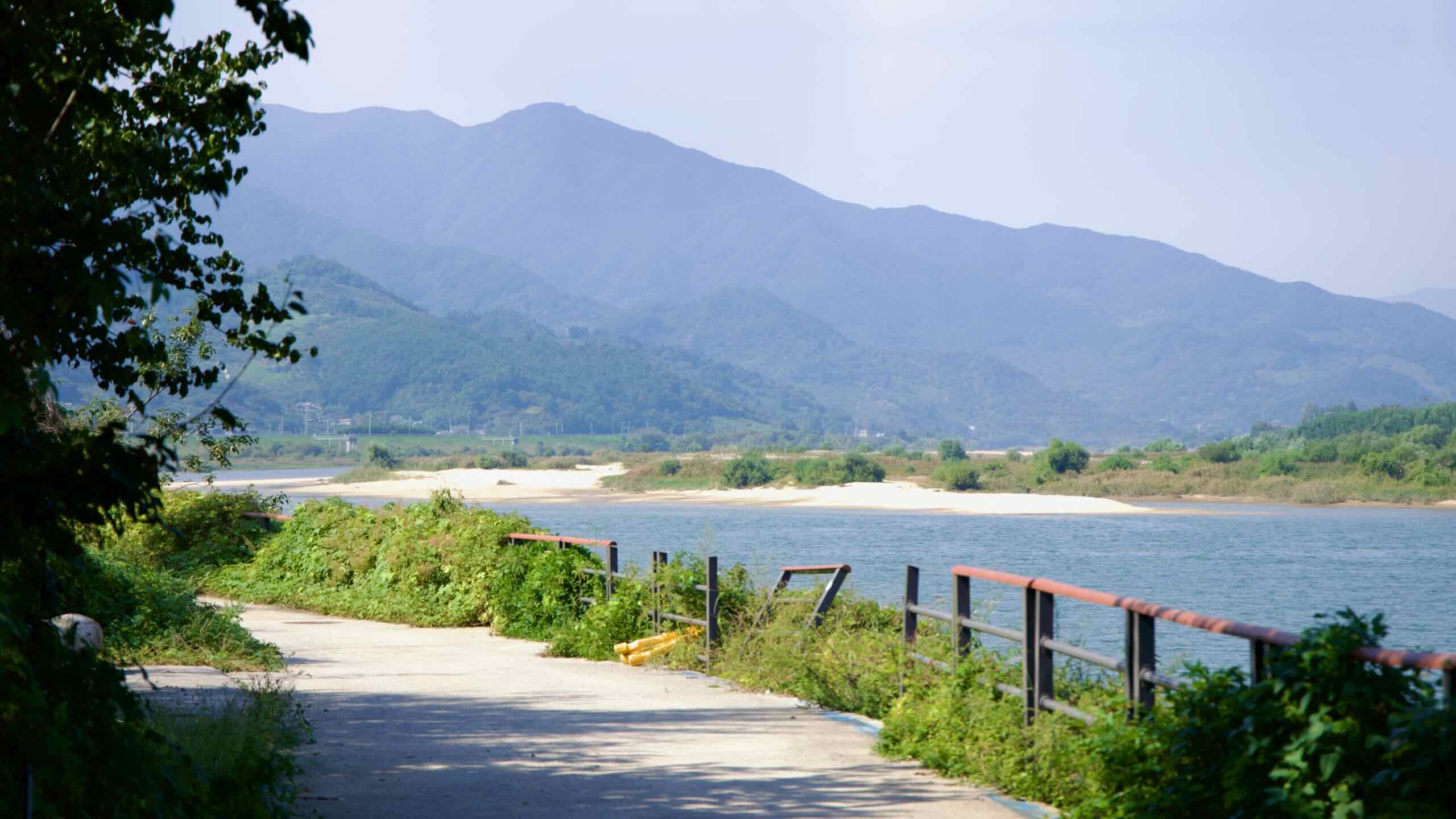
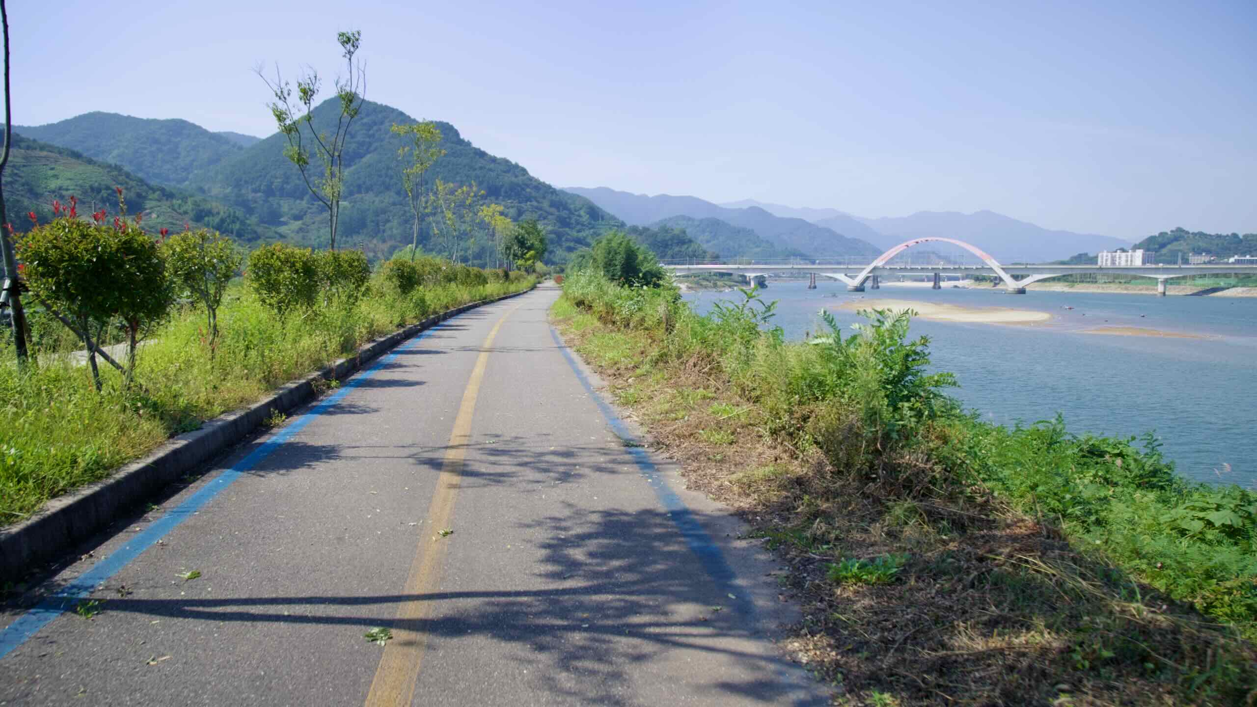
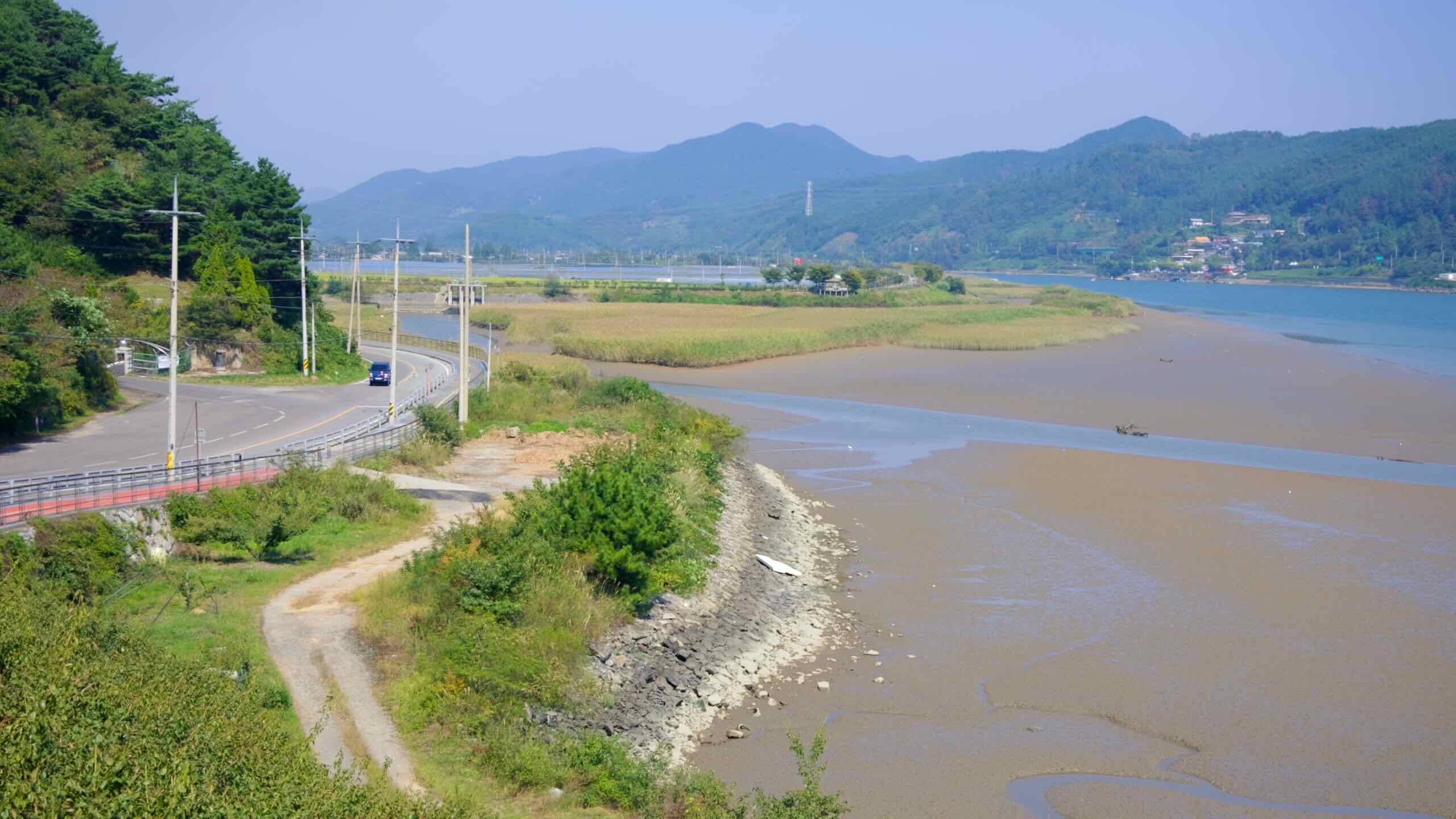
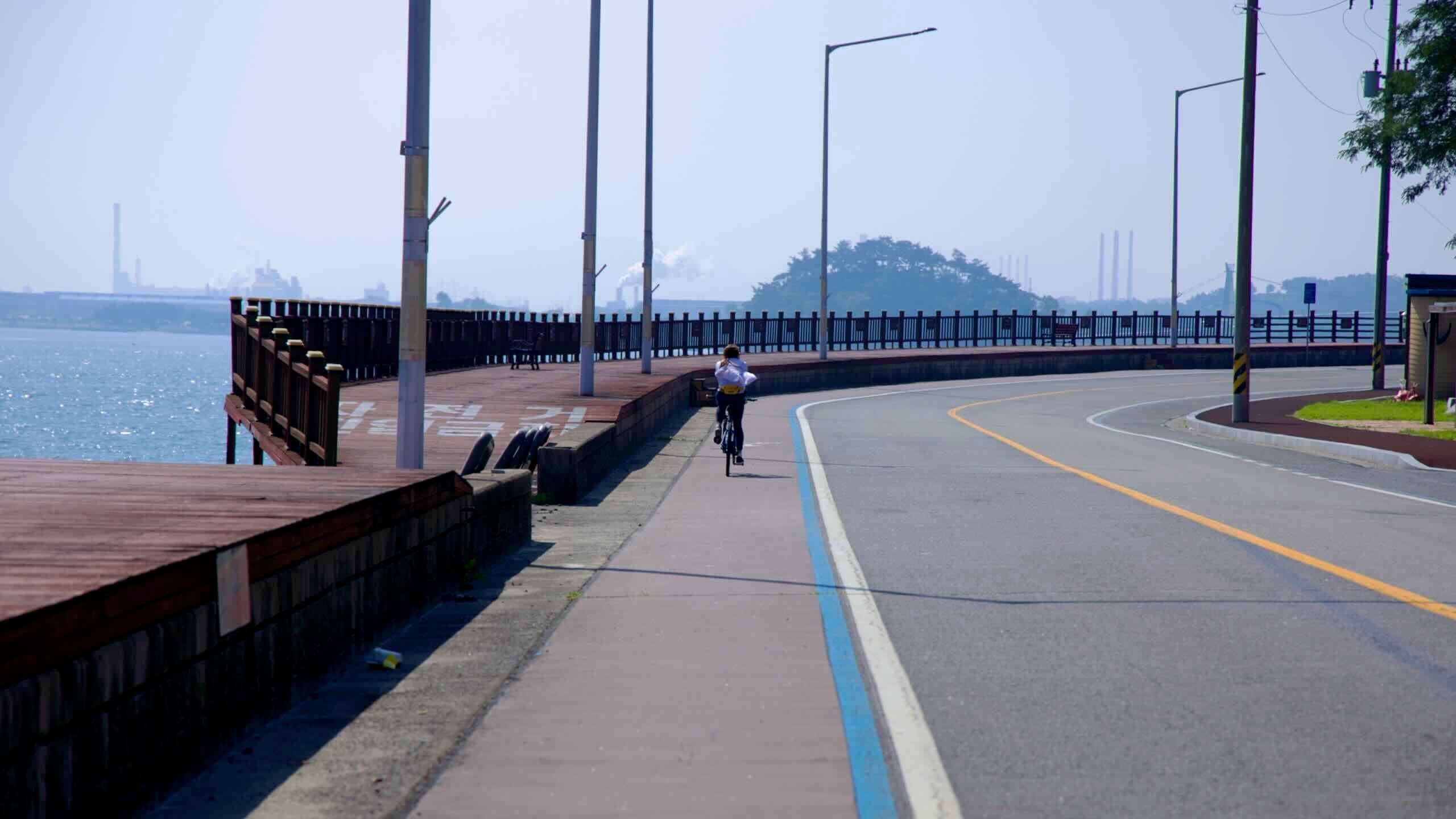
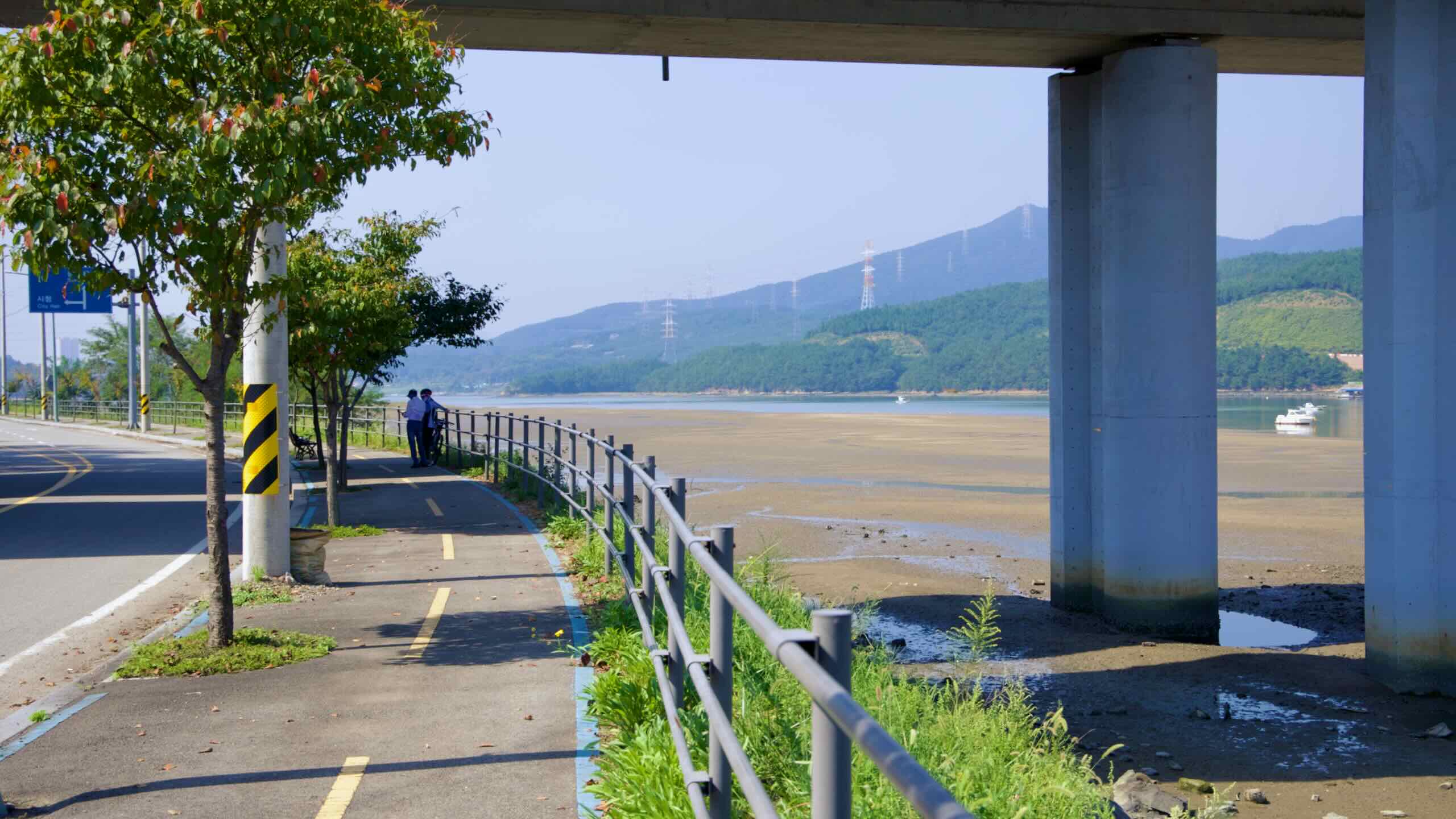
계속해서 페달을 밟습니다. 섬진강 현수교 아래를 지나면 이내 강가를 따라 이어진 2차선 도로(도로 뷰)에 진입하게 됩니다. 자전거 전용 차선은 없지만 차량 통행이 거의 없어 비교적 안전하게 주행할 수 있는 구간입니다. 늦은 시간에 달린다면 전조등과 후미등을 꼭 켜 주세요.
대부분의 천문대는 빛 공해를 피하기 위해 산 정상에 세워지는 반면, 이곳은 평지에 자리잡고 있으며 주변은 작은 마을들로 둘러싸여 있습니다. 빛 간섭을 줄이기 위해 천문대와 지역 주민들은 가로등에 차광막을 설치하고, 관측 시간에는 운전자들에게 전조등을 낮춰 달라고 요청하는 등의 노력을 하고 있습니다.
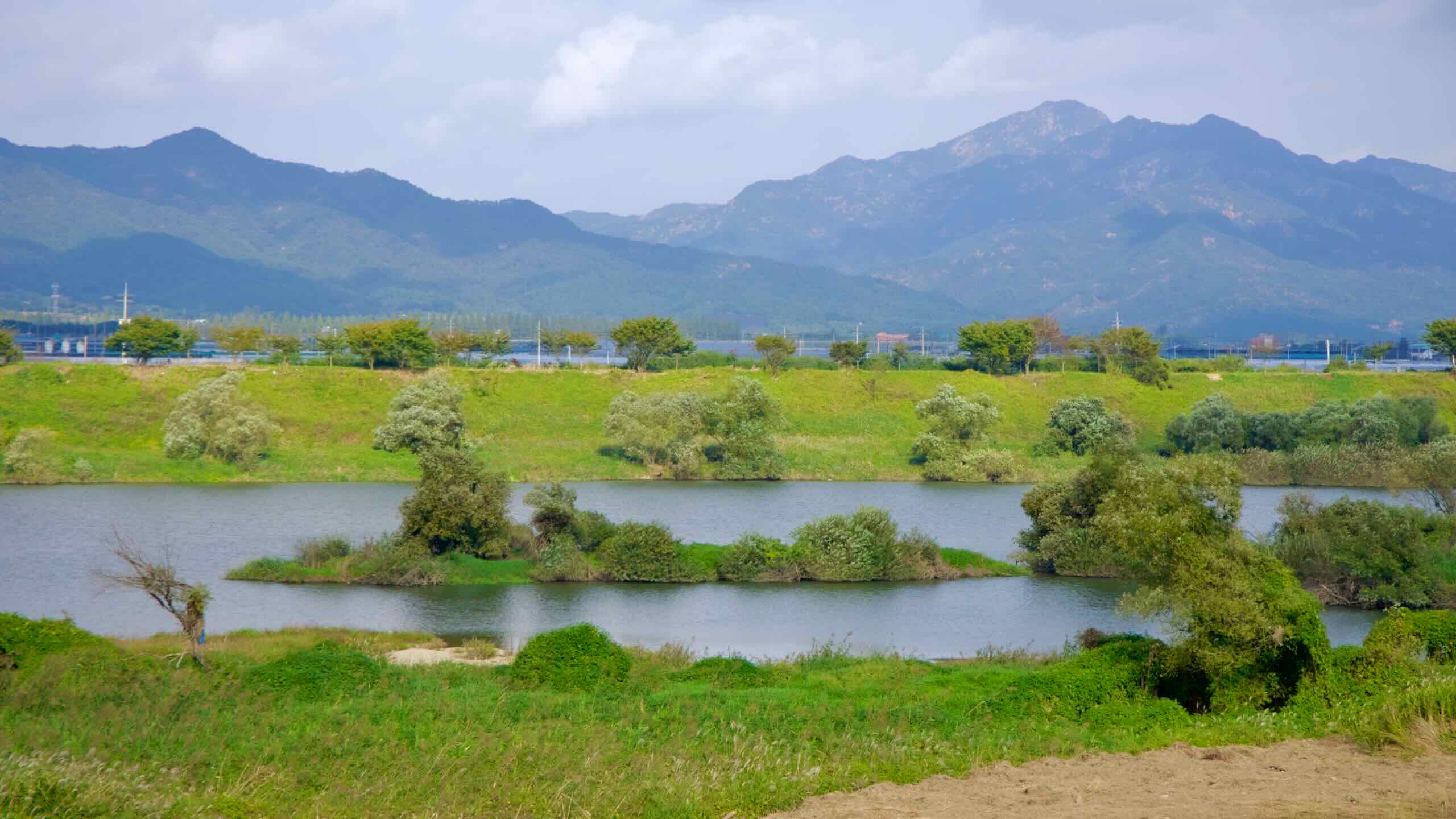
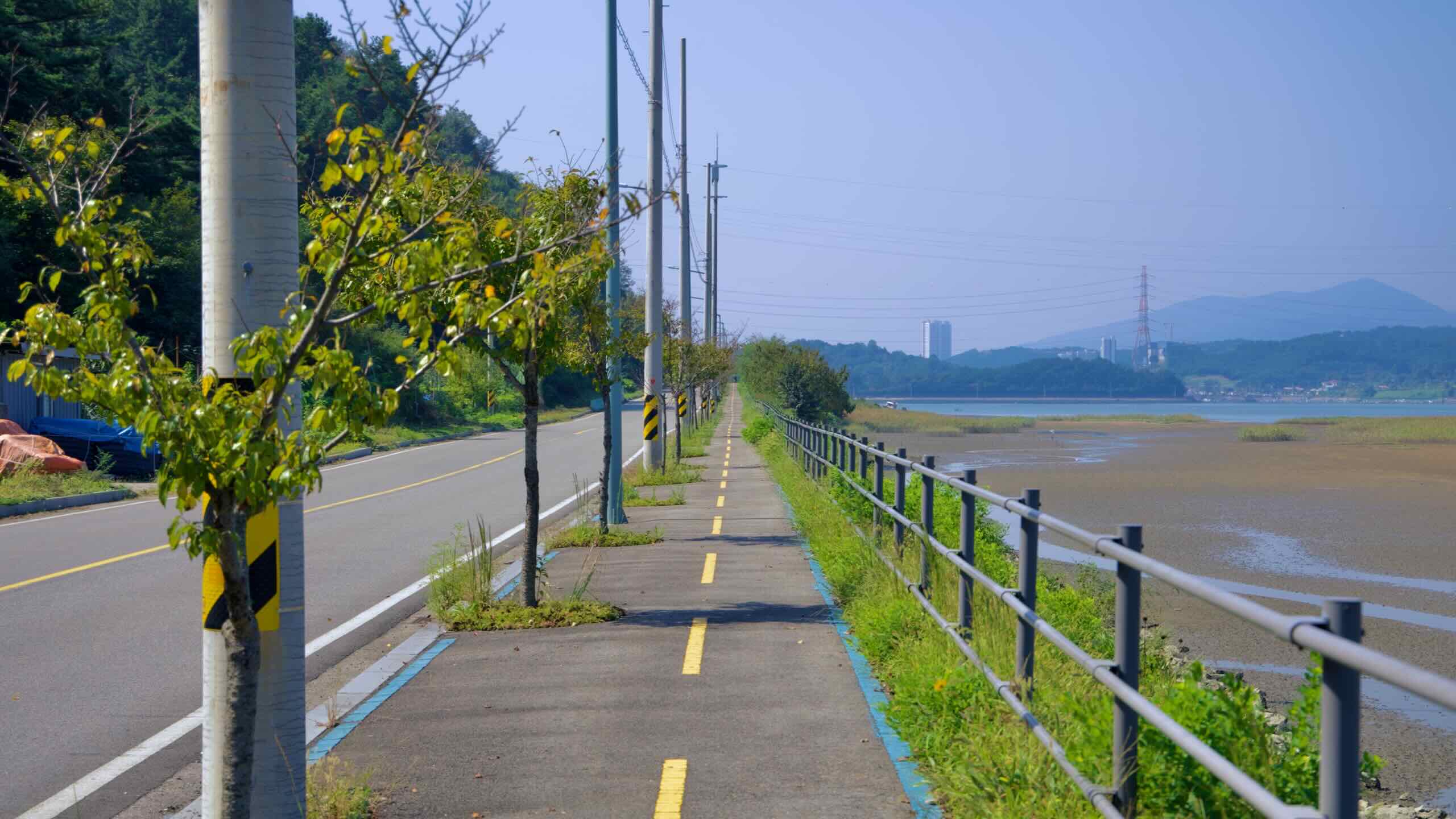
이어서 강변 도로를 따라 계속 나아갑니다. 도로변에는 봄이 되면 벚꽃이 흐드러지게 피어 분홍과 하얀 터널을 이루는 가로수들이 줄지어 있습니다.
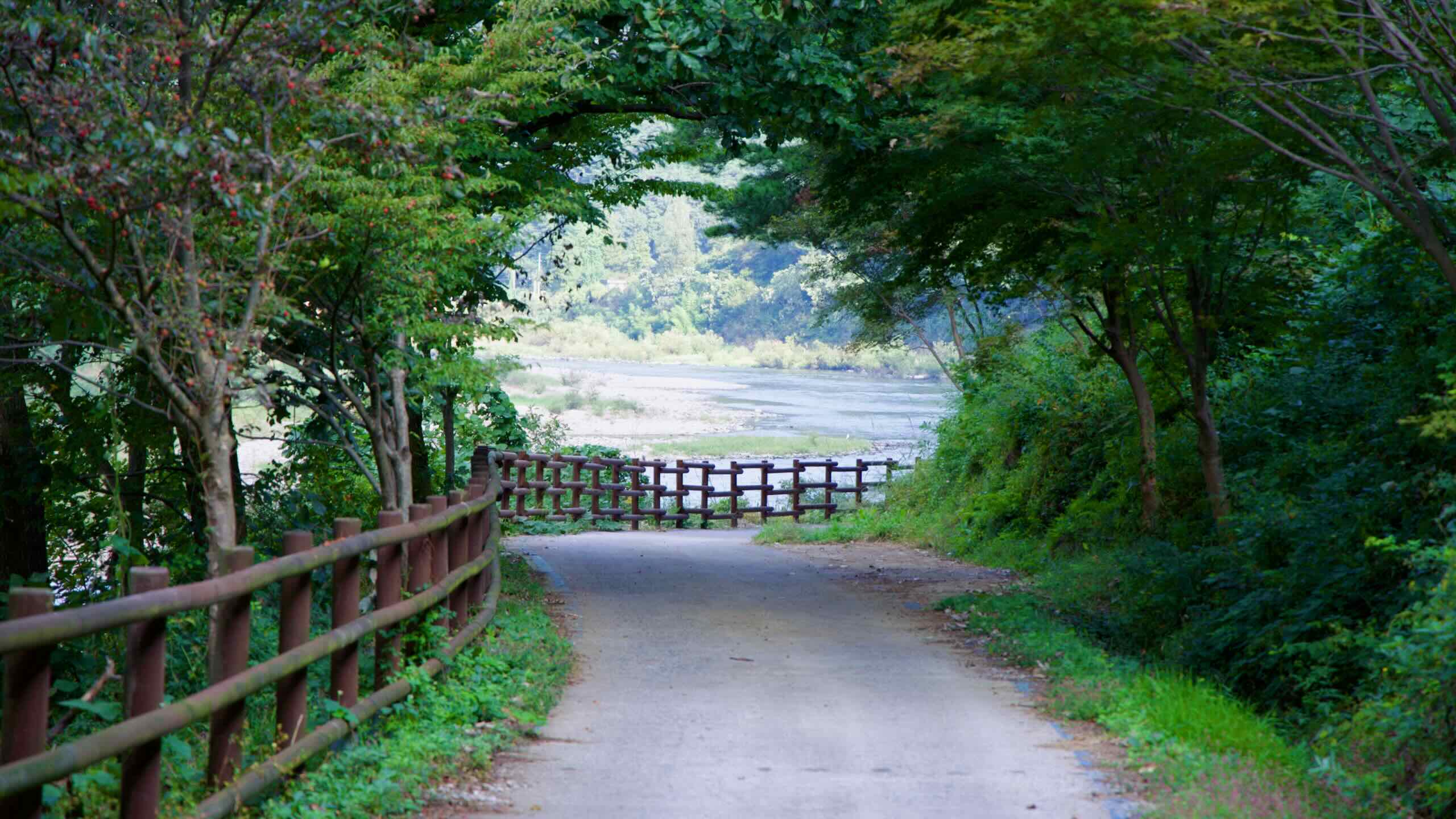
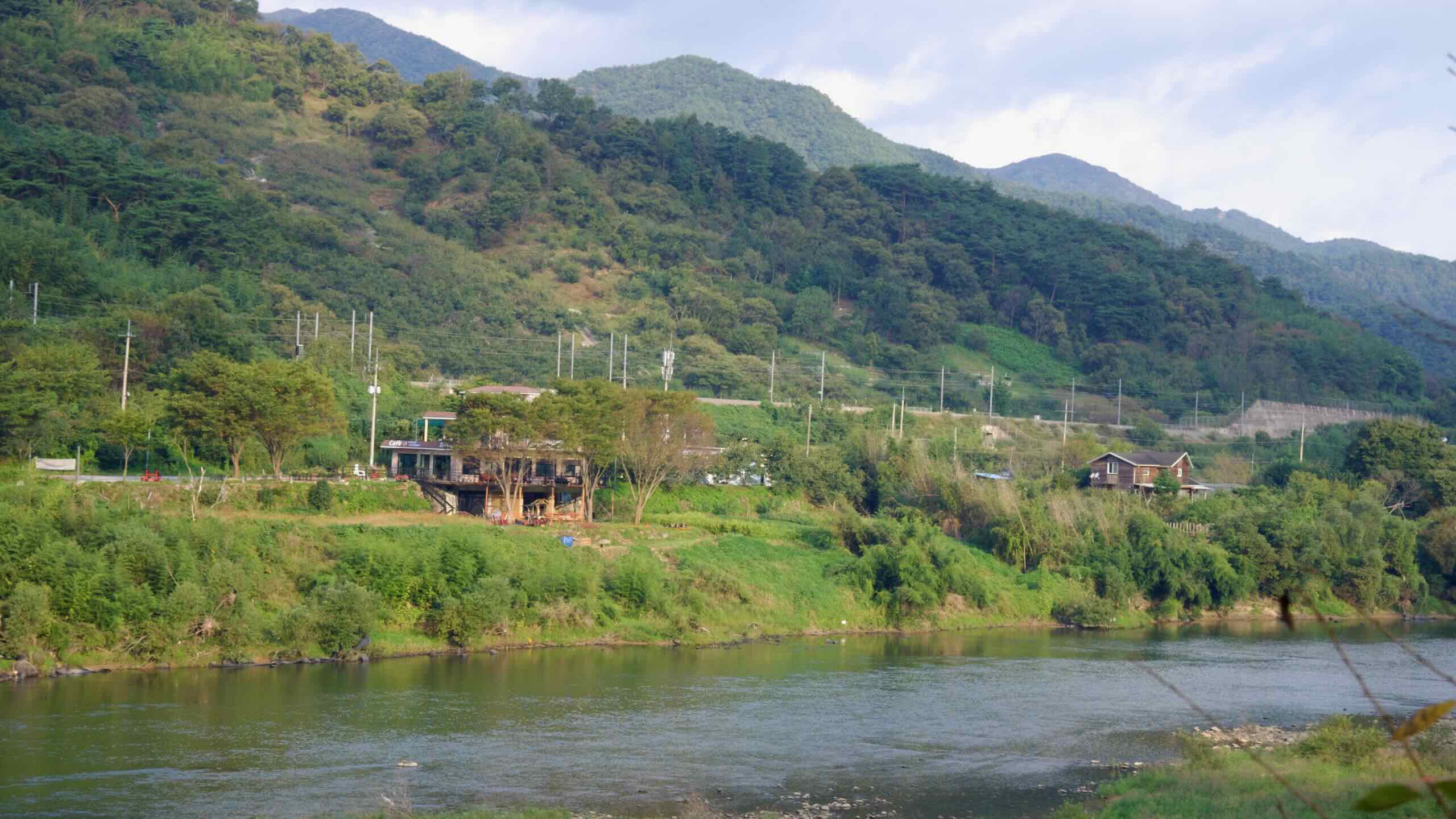
이 경치 좋은 구간은 전라선 철도와도 나란히 이어지며, 강가에는 시골 정취를 고스란히 담은 펜션들(지도)이 드문드문 자리 잡고 있어 여유로운 분위기를 더해줍니다.
압록 마을
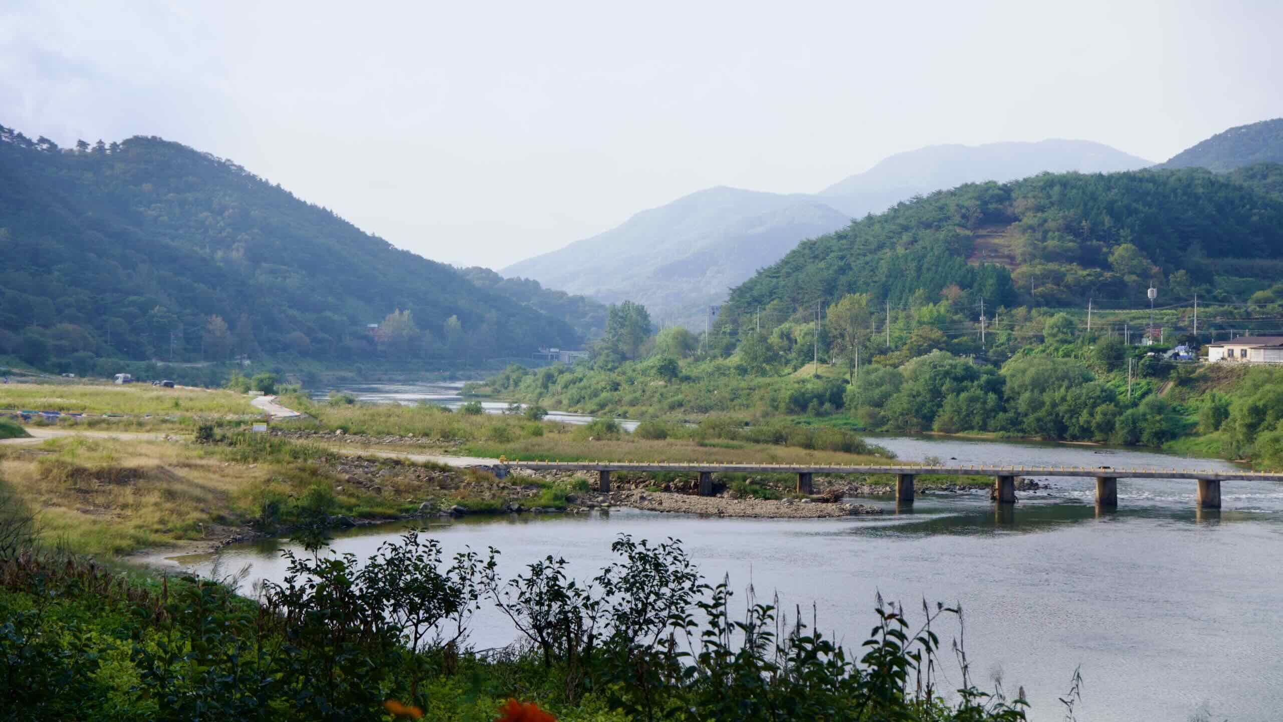
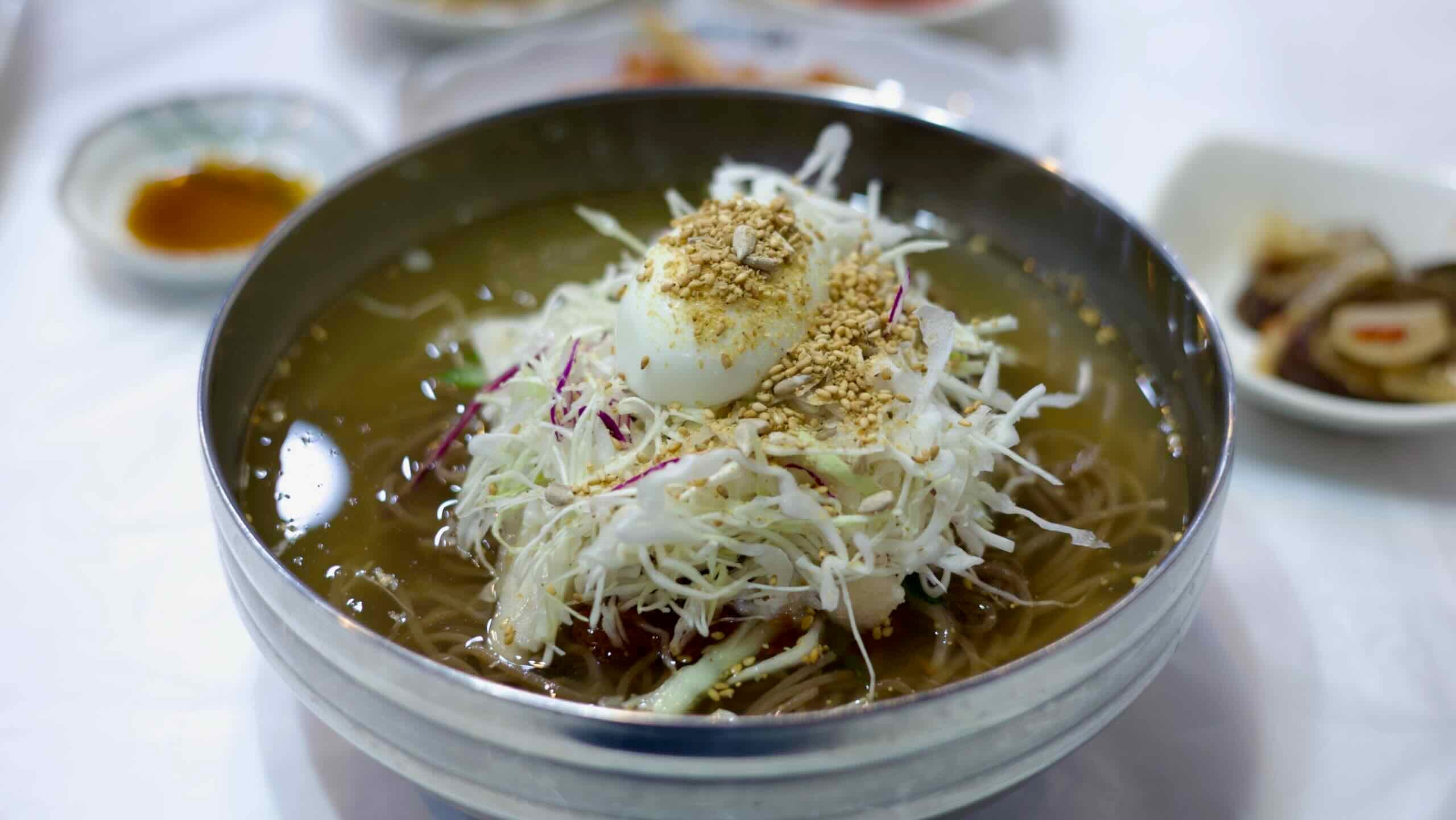
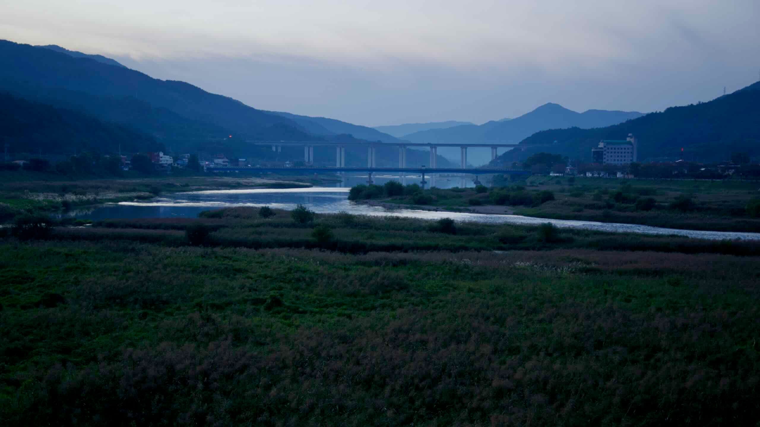
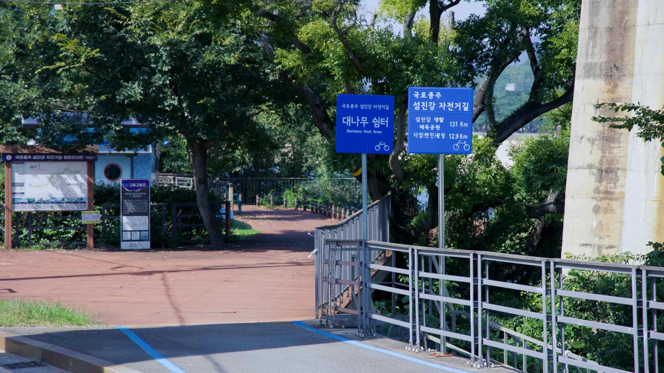
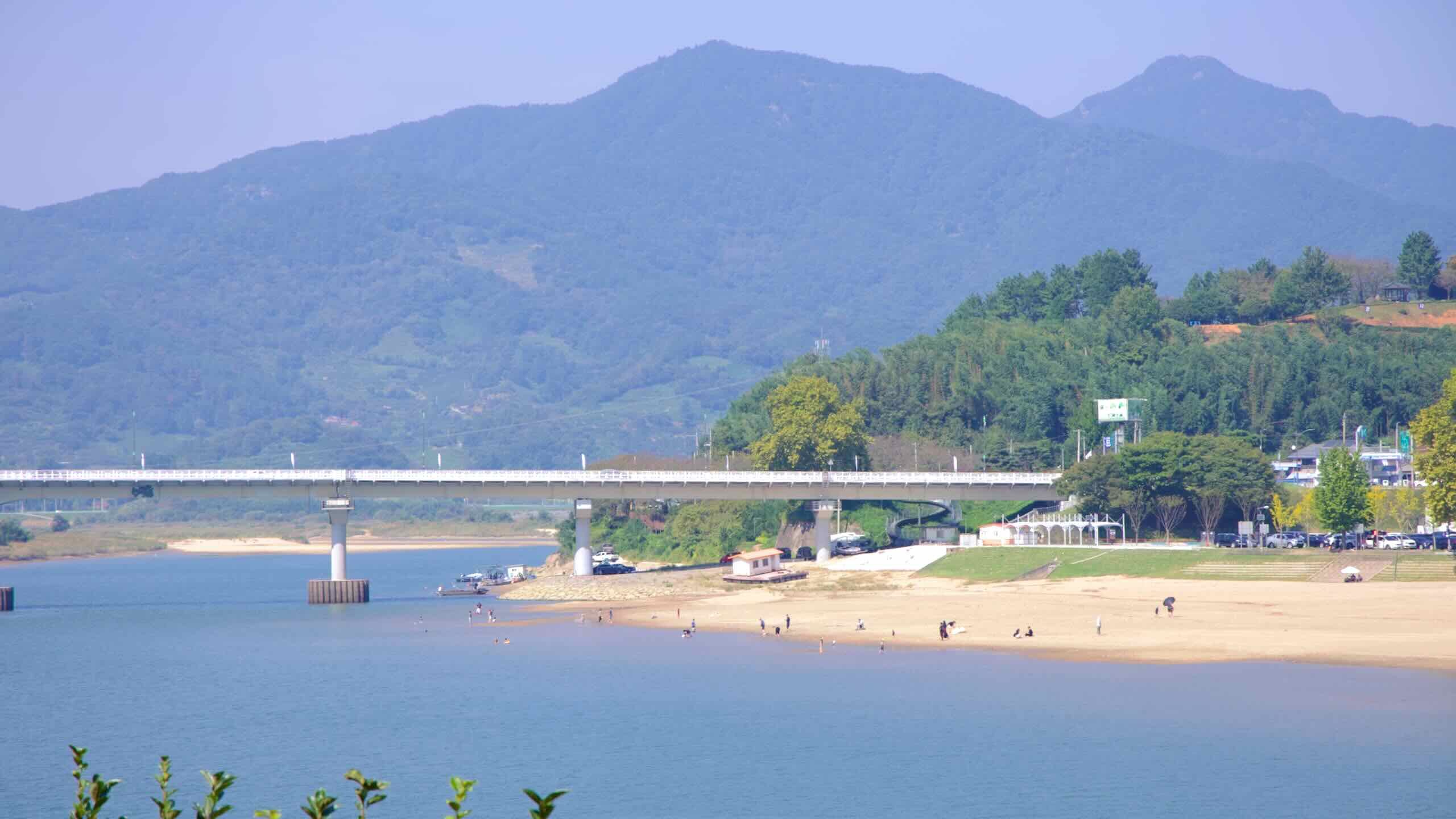
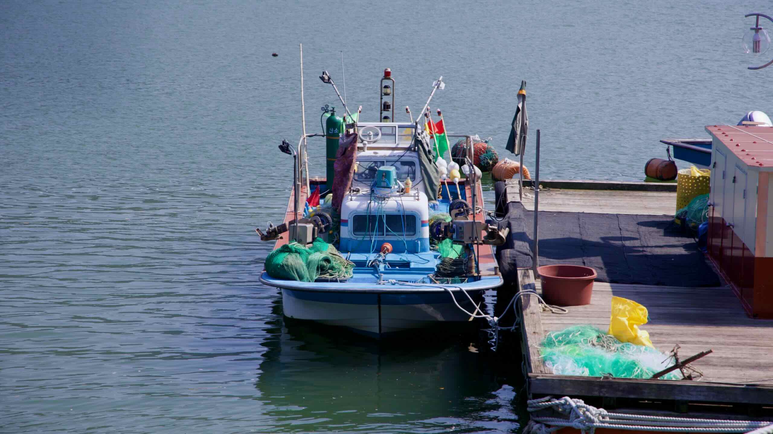
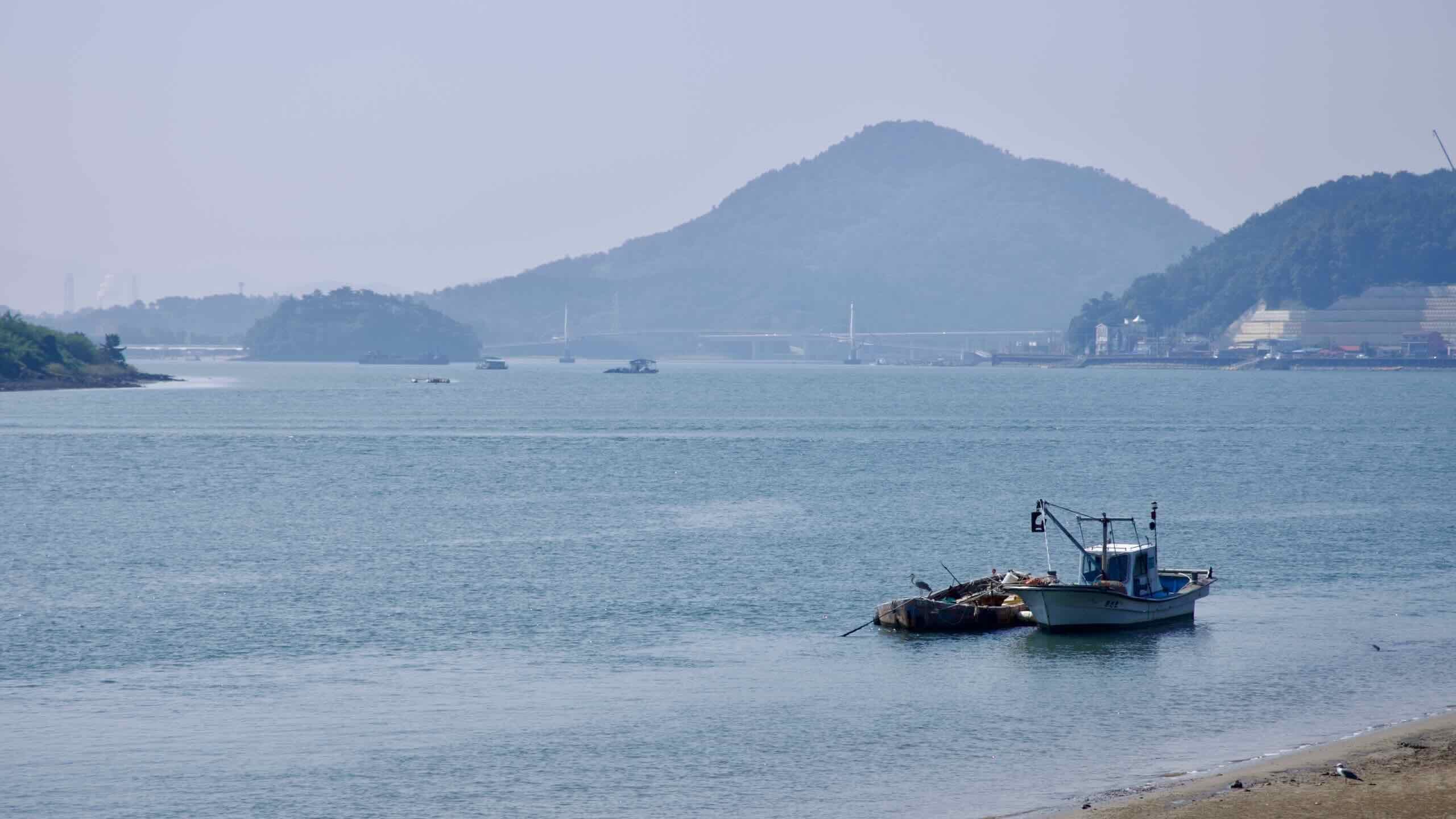
약 4킬로미터를 더 달리면 예성교(지도)에 도달합니다. 하루가 저물고 휴식이 필요하다면, 이 다리를 건너 조용한 강굽이에 자리한 작은 마을 압록리(지도)로 들어가 보세요. 이곳은 보성강(지도)이 섬진강과 만나는 지점으로, 식당(지도)과 숙소(지도) 몇 곳이 있어 쉬어가기 좋습니다.
압록역(지도)은 전라선에 위치한 작은 벽돌역으로, 1936년에 개통되었습니다. 여객 운행은 2008년에 중단되었지만, 깔끔한 승강장과 전통 간판은 그대로 보존되어 있어 한국 증기기관차 시대의 엽서 같은 풍경을 전합니다. 영화 애호가라면 선로 옆에 홀로 서 있는 소나무를 알아볼 수도 있습니다. 1990년대 인기 드라마 모래시계의 클라이맥스 장면이 이곳에서 촬영되었습니다.
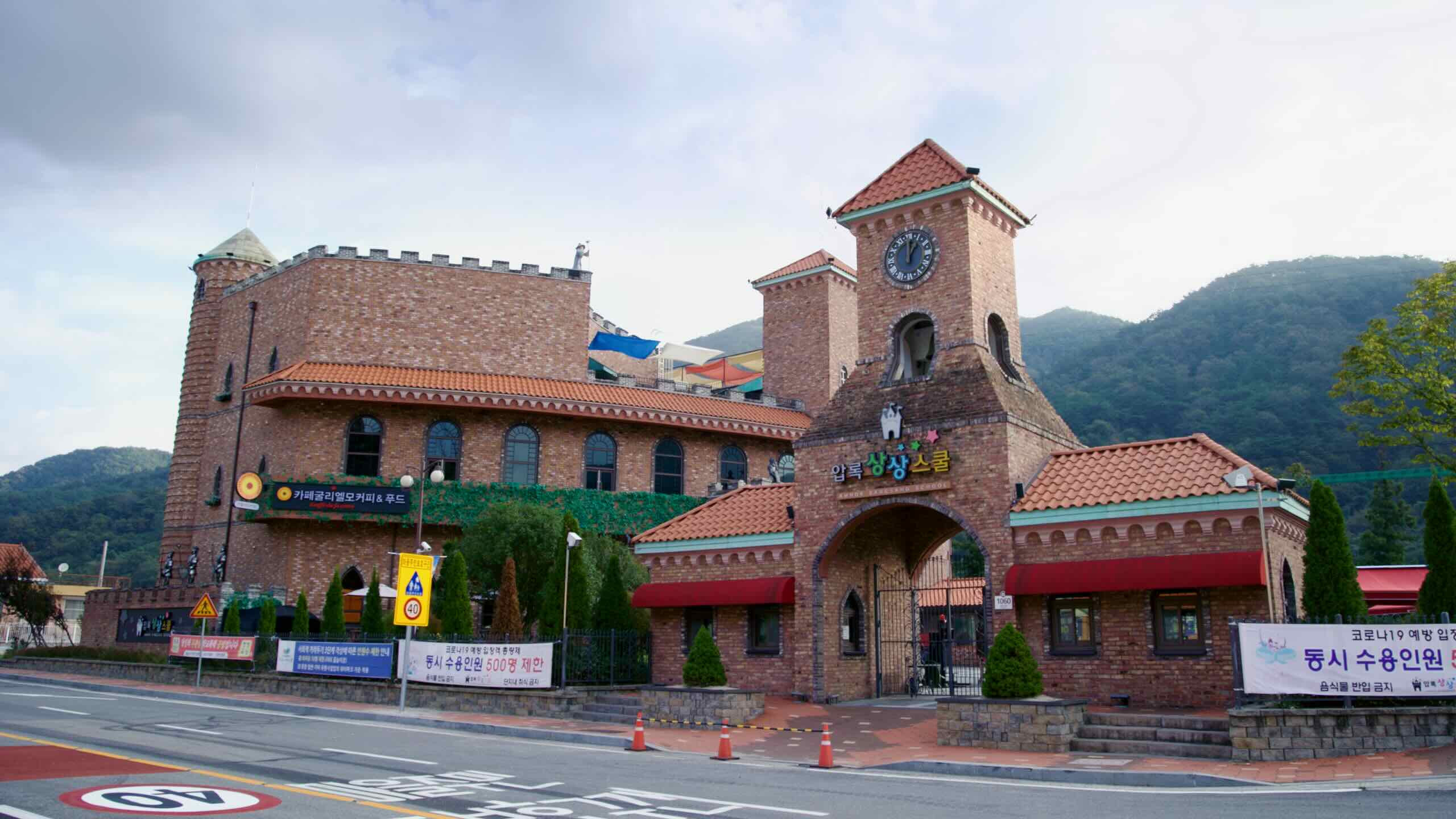
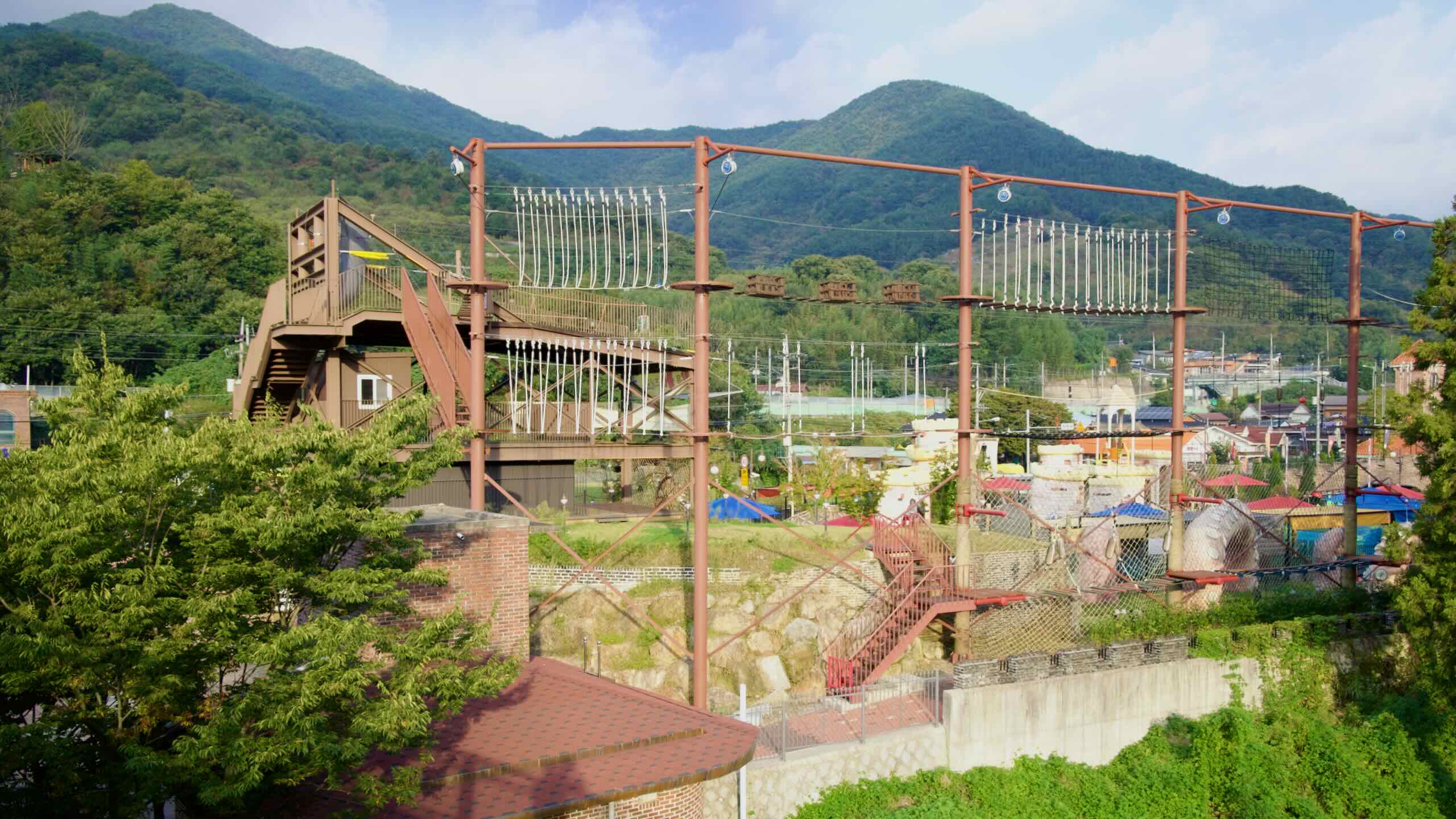
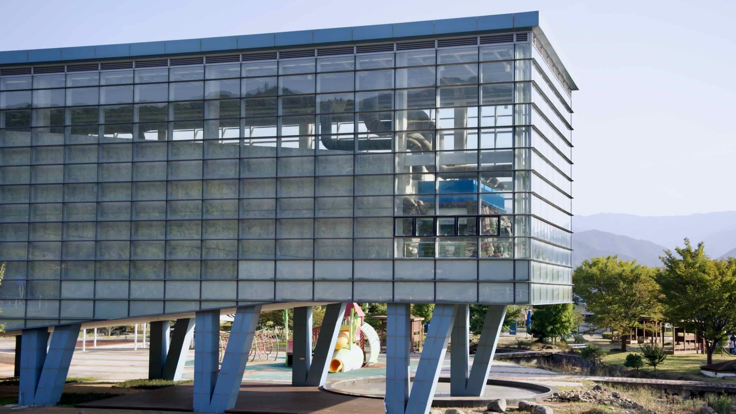
길을 따라 조금만 올라가면, 폐교된 초등학교를 개조한 압록상상스쿨(지도)이 있습니다. 이곳은 가족 단위 방문객을 위한 ‘상상 캠퍼스’로, 3층 건물 내부에는 실내 놀이터와 카페가 있고, 야외에는 워터파크, 짚라인 코스 등 다양한 체험 시설이 마련되어 있습니다.
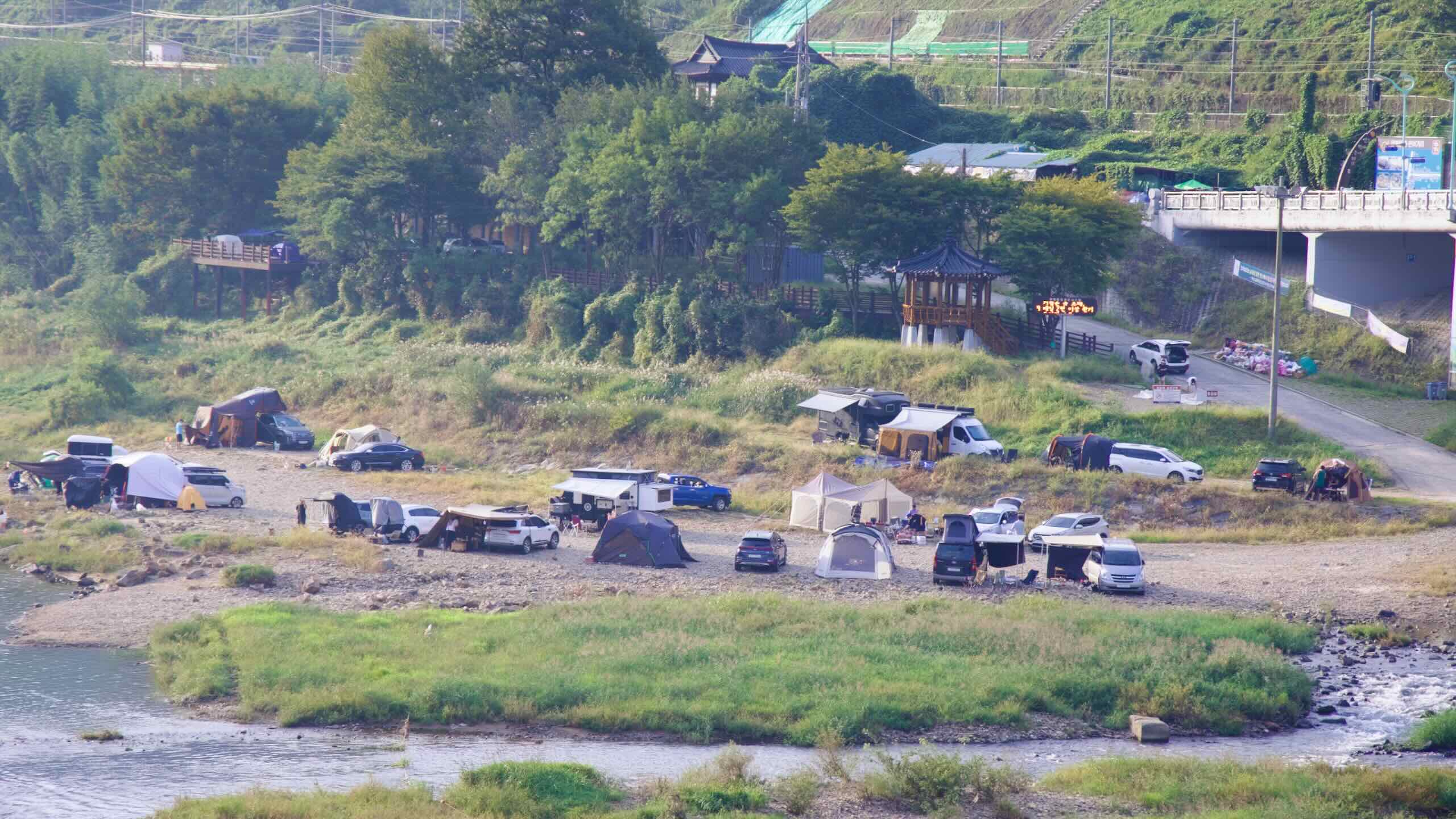
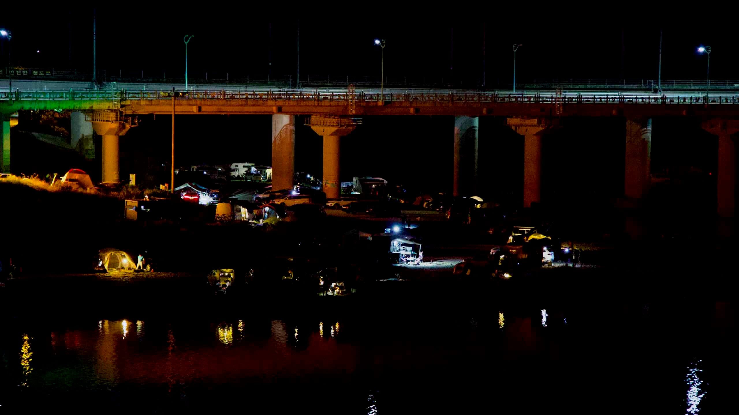
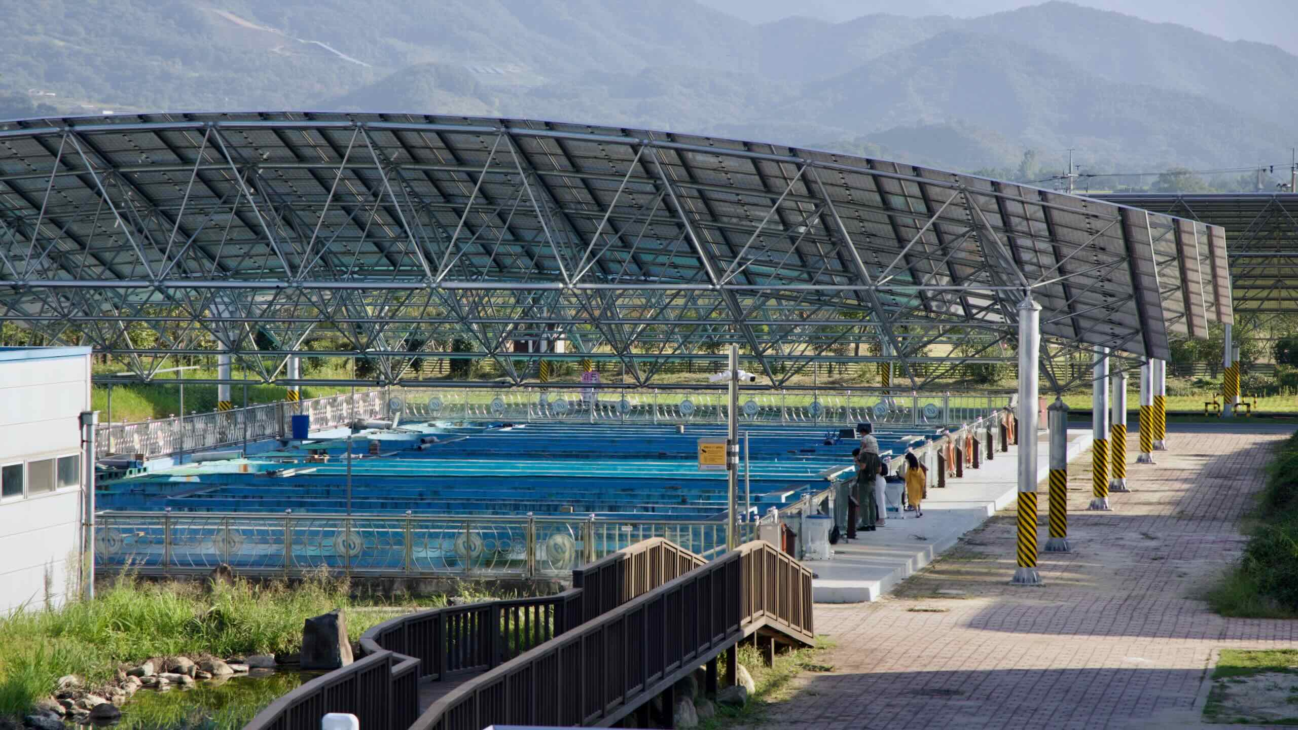
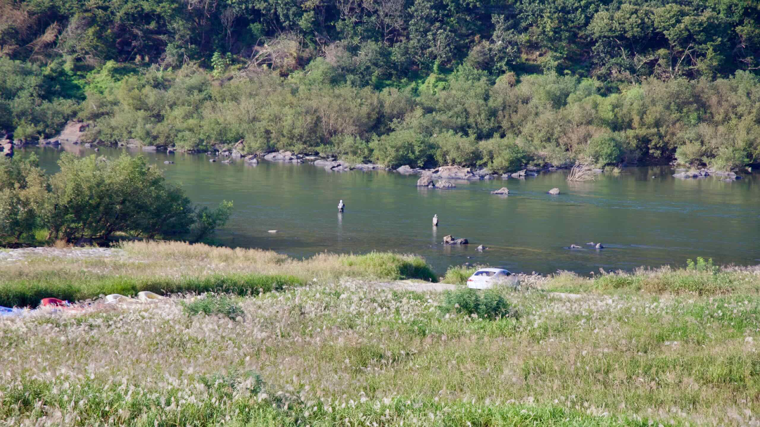
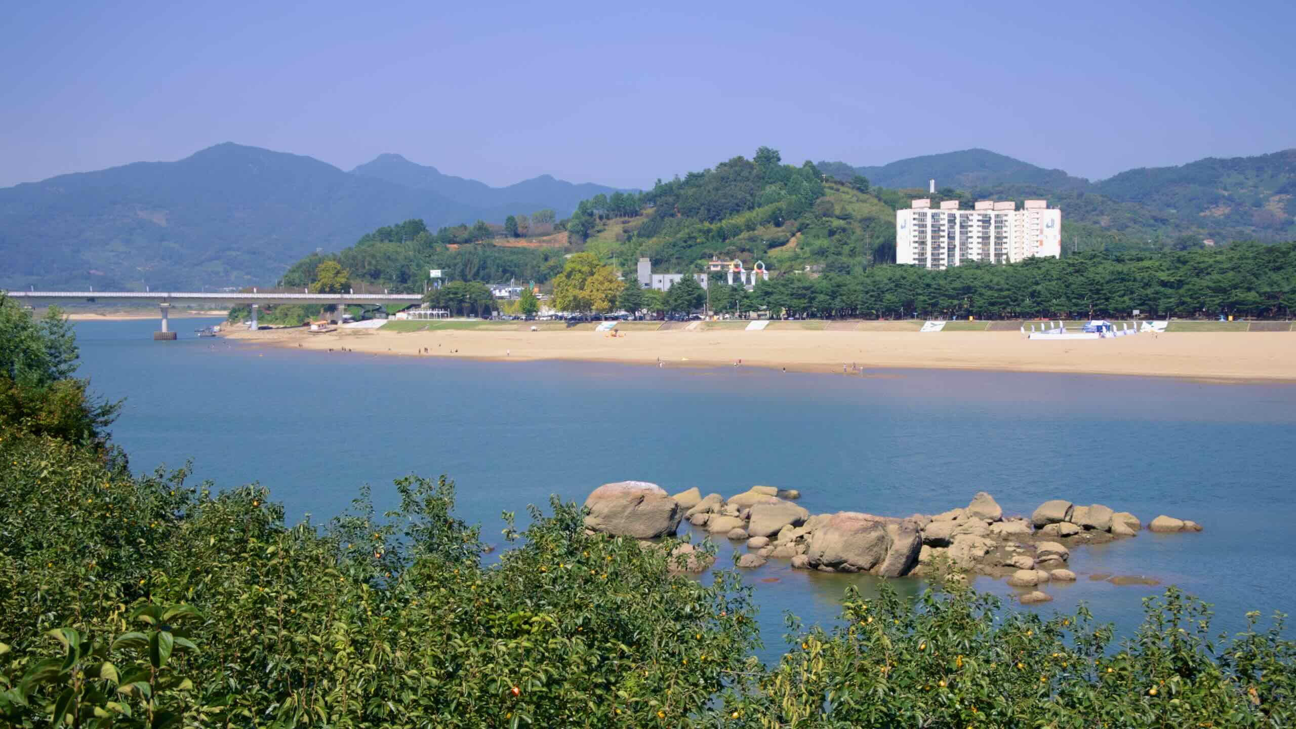
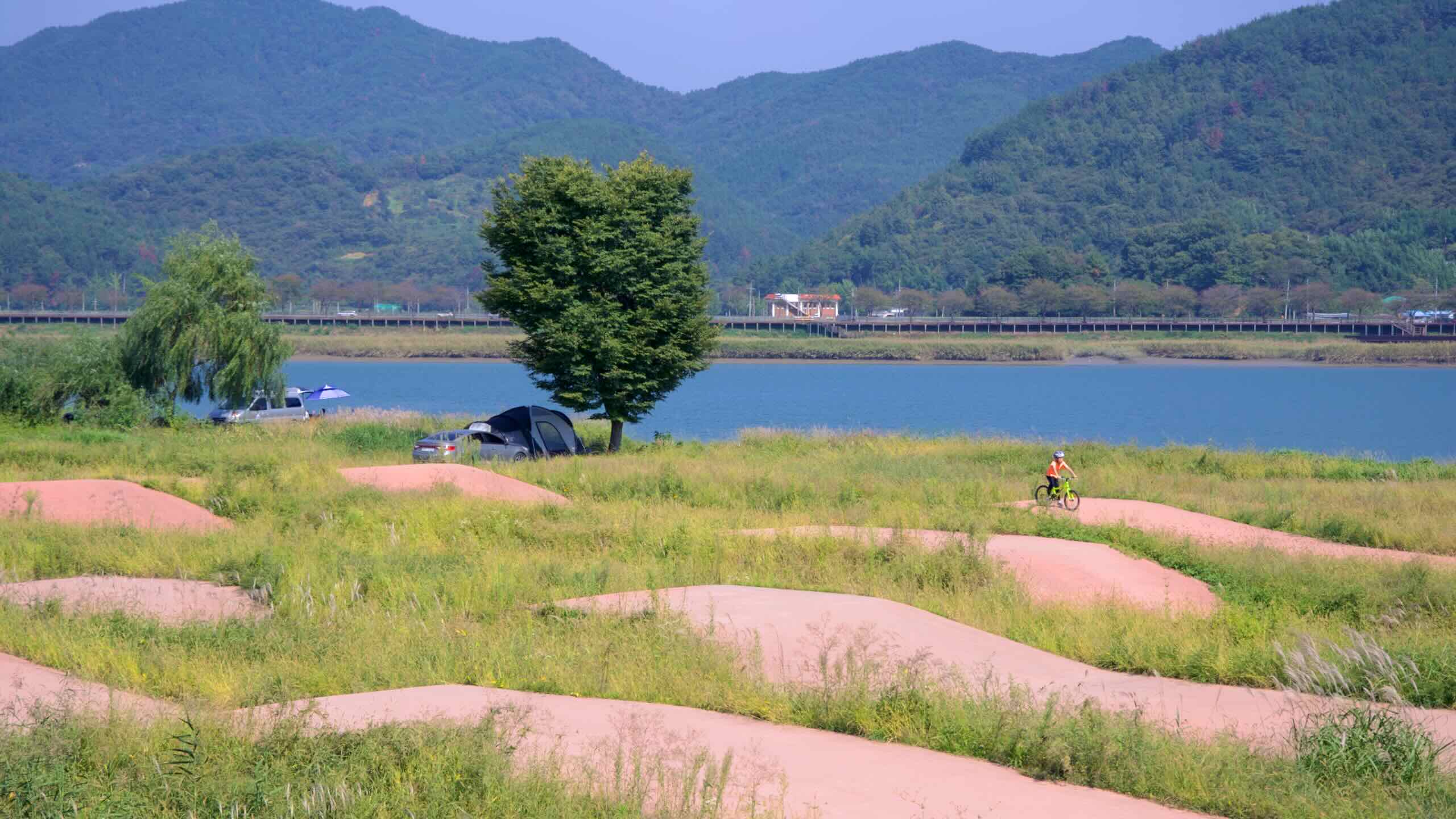
보성강 건너편, 섬진강과 만나는 남쪽 강변에는 압록유원지(지도)가 있습니다. 이곳의 강물은 느리고 얕아 물놀이, 낚시, 패들링에 제격입니다. 여름 주말이면 강가가 텐트와 캠핑카로 북적이며 활기를 띱니다.
압록 마을에서 사성암까지
정겨운 강변 마을을 지나, 전설이 깃든 다리를 건너며 짧지만 인상 깊은 구간을 달립니다. 여정의 끝은 한국에서 가장 장엄한 산중 암자 중 하나인 사성암의 기슭입니다.
자, 여정을 계속해 봅시다. 압록 마을에서 출발해 섬진강 동쪽 강변을 따라 나무가 줄지어 선 도로를 달립니다.
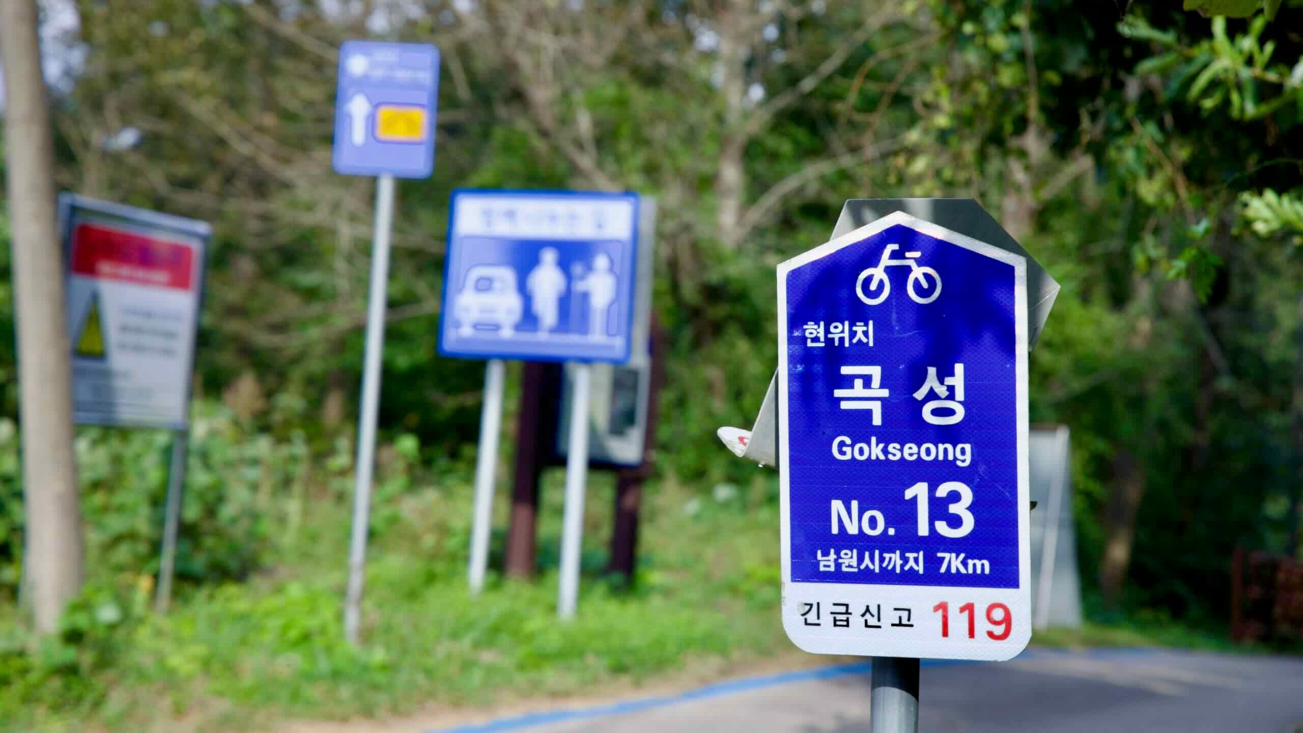
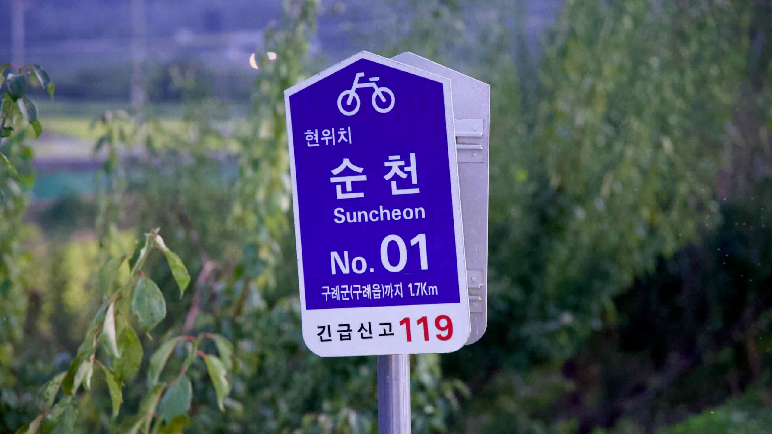
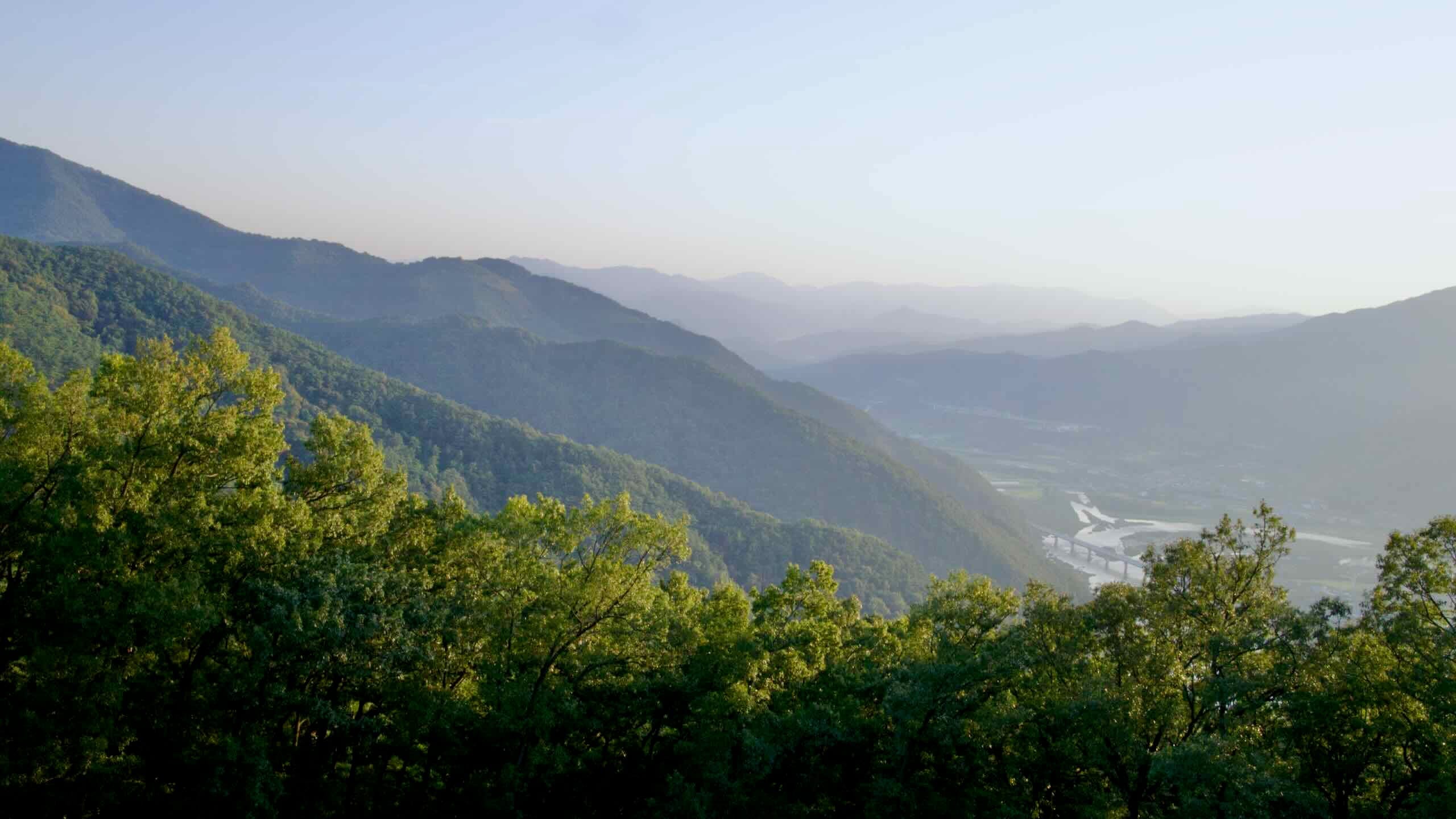
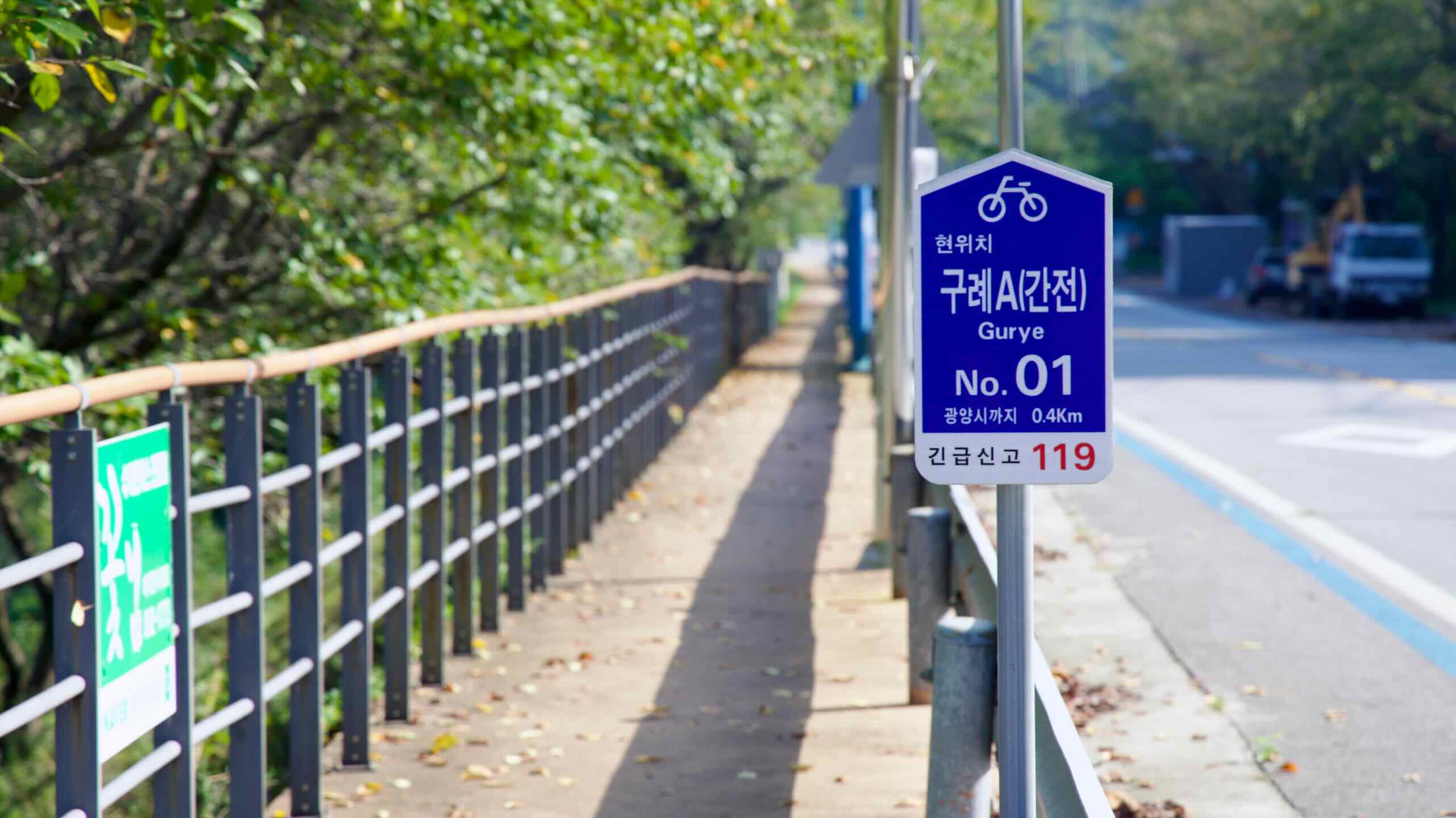
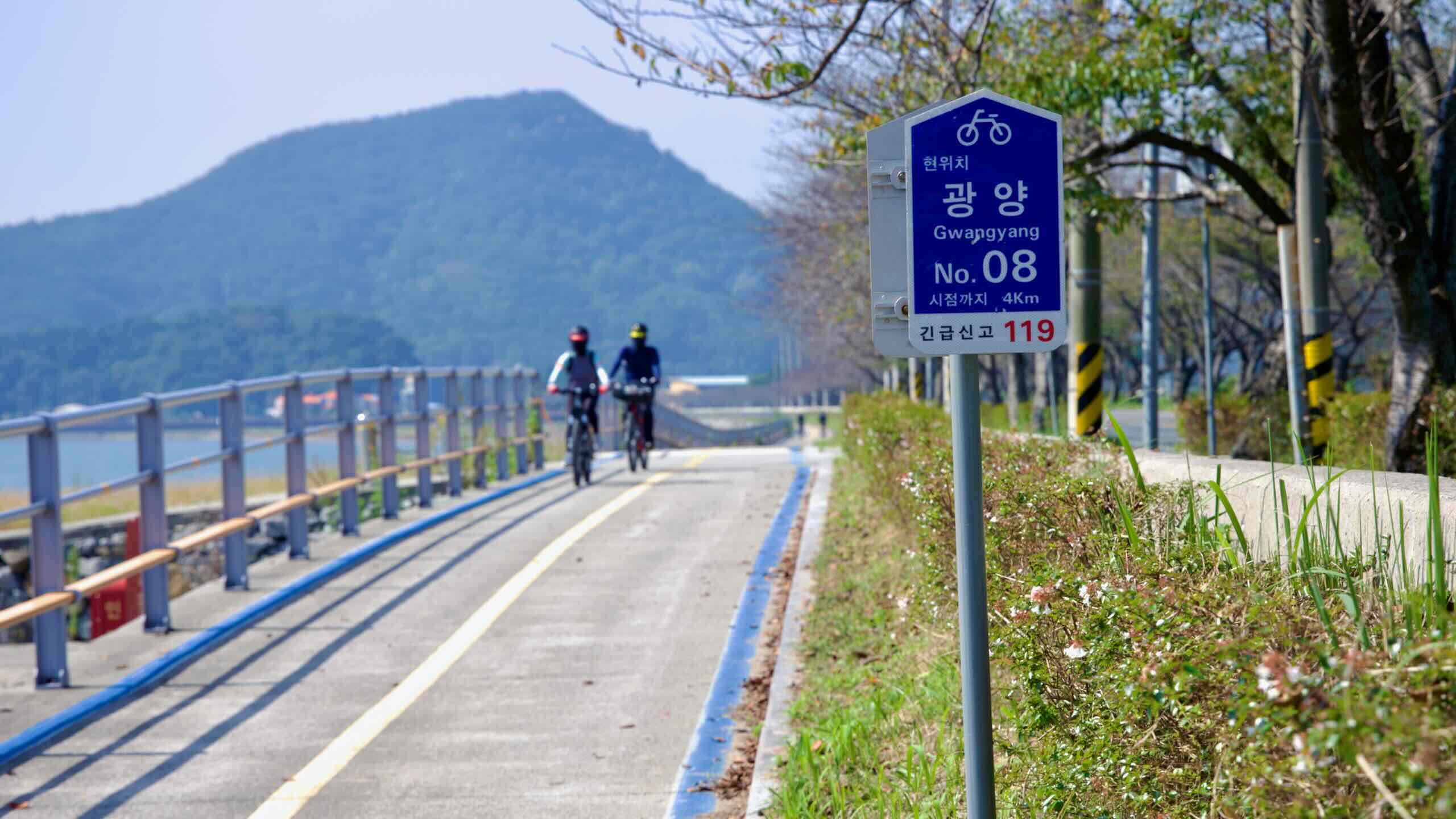
지금 어디쯤일까요? 사실 섬진강 현수교를 지나면서부터 우리는 구례군(지도)에 들어선 것입니다. 이곳은 지리산(지도), 한국 최초의 국립공원으로 들어가는 관문으로 잘 알려져 있습니다.
구례의 역사는 6세기 화엄사(지도)의 창건으로 거슬러 올라갑니다. 사찰에 있는 석탑과 금동 사리장엄구는 현재 국보로 지정되어 있습니다.
조선 후기(1392~1897)에는 유학자들이 구례의 계곡으로 은거해 시를 짓고 성리학을 공부했습니다. 이 전통 덕분에 구례는 오늘날 “선비의 고장”이라는 별칭을 얻게 되었습니다. 1894년 동학농민운동 당시 구례 주민들도 봉기에 참여했으며, 그들이 쌓았던 산성의 흔적은 오늘날에도 도보로 찾아갈 수 있습니다.
구례는 특히 봄마다 열리는 산수유꽃축제로 유명합니다. 지리산 남쪽 자락 아래 마을마다 300만 송이의 노란 산수유꽃이 만개합니다. 식도락가들에게는 구수한 더덕 요리, 산에서 채취한 버섯, 산열매로 우린 약차 등이 인기를 끌고 있습니다.
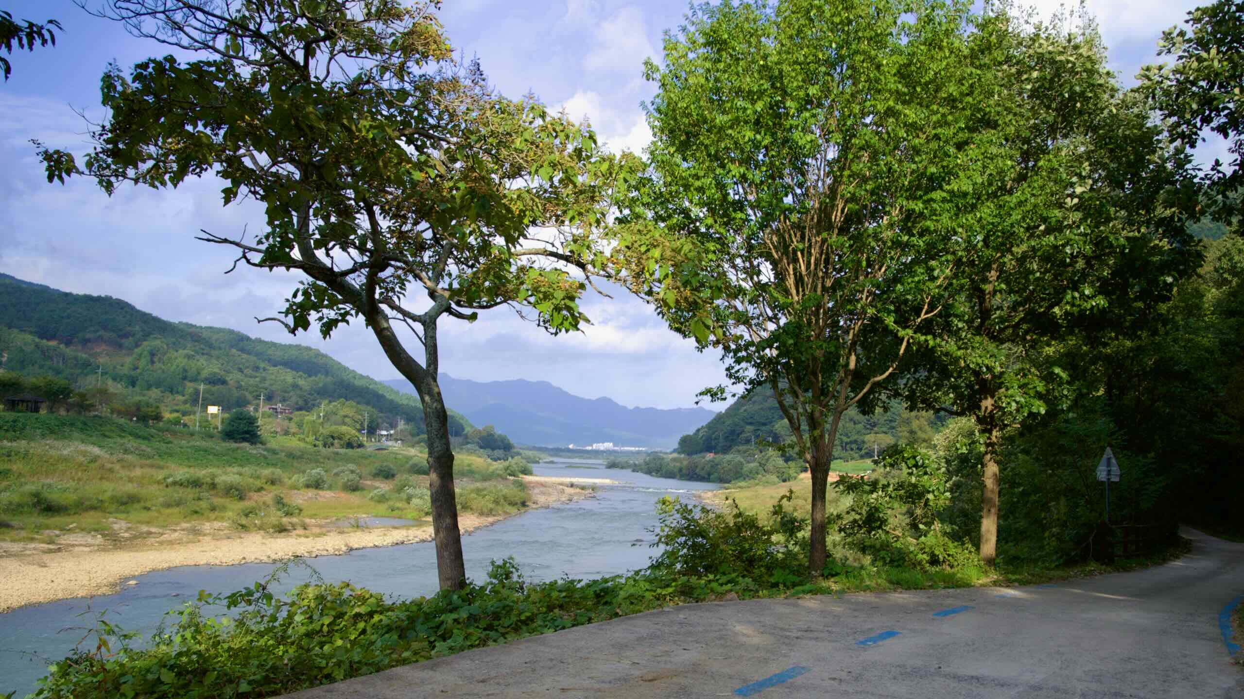
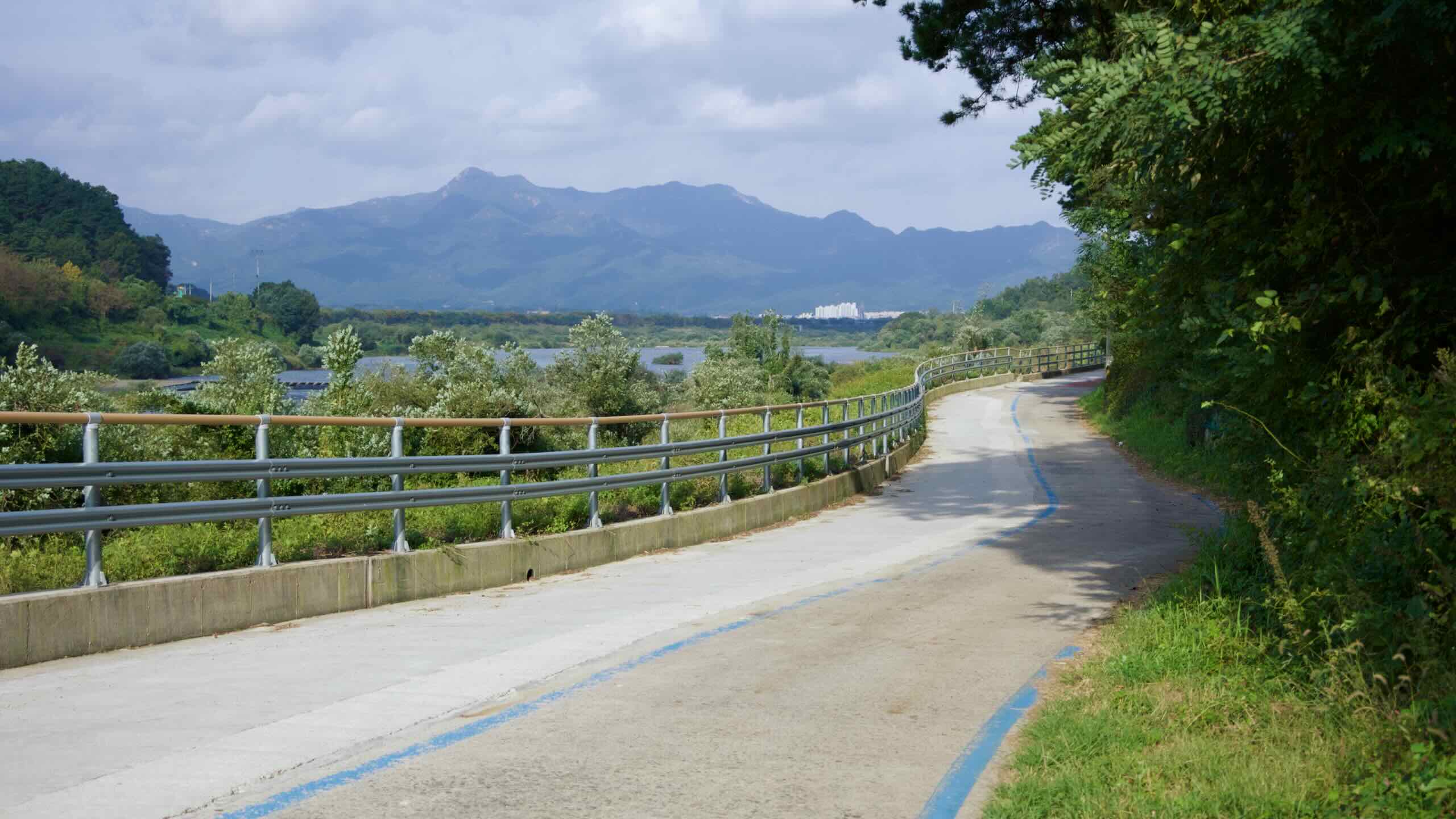
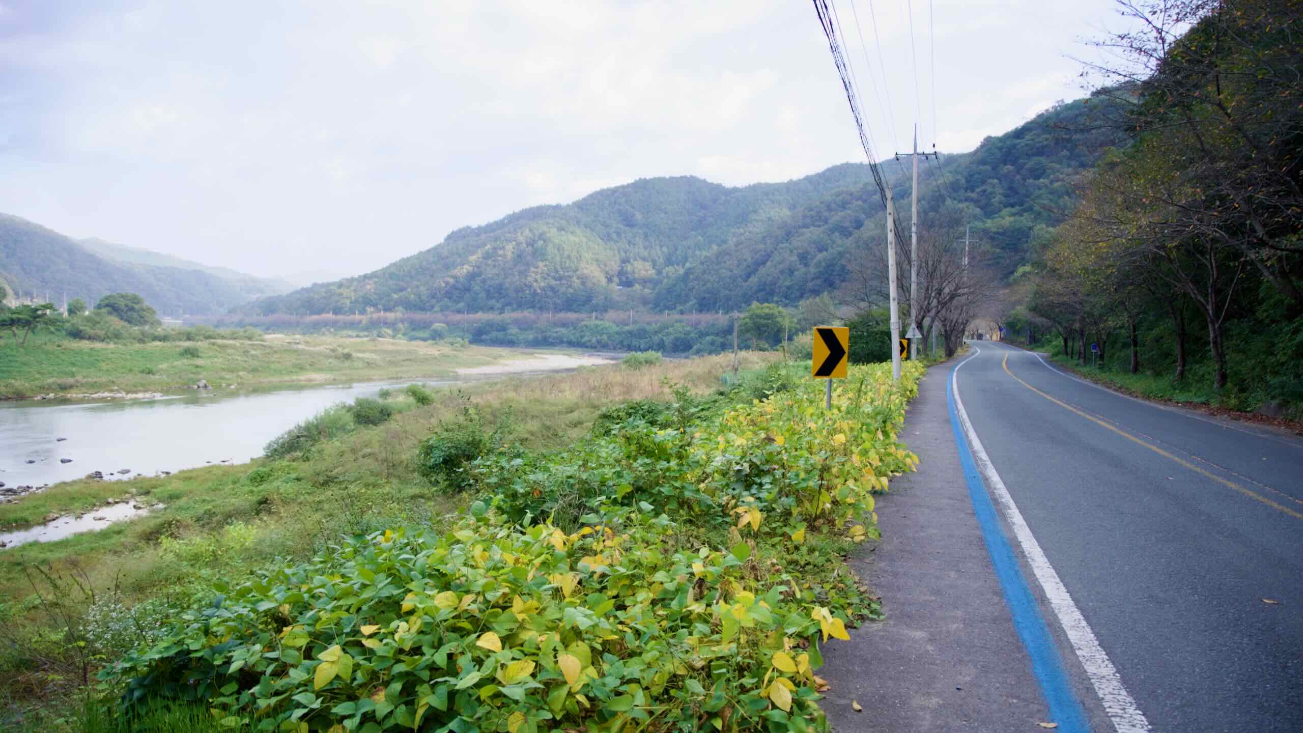
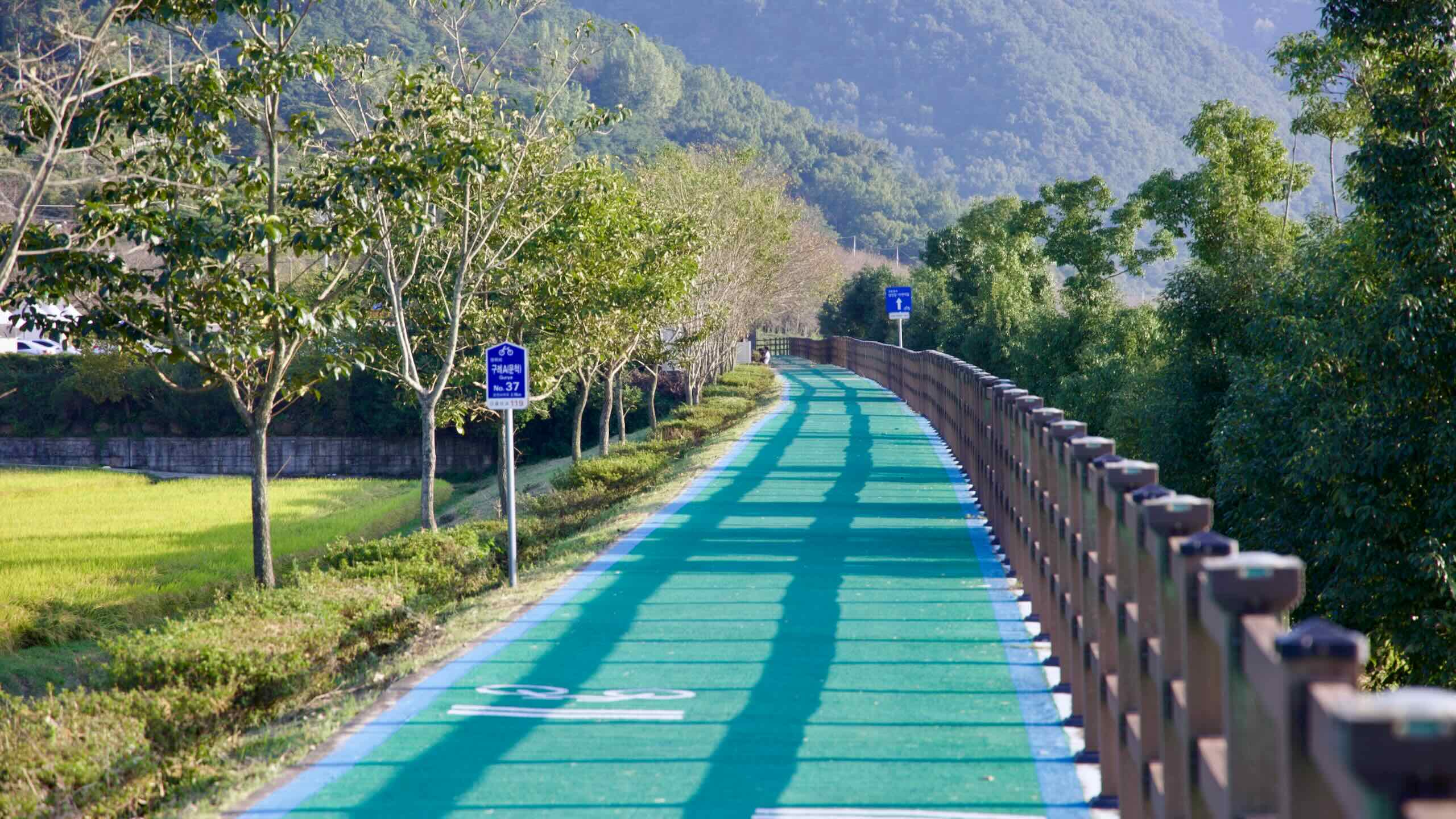
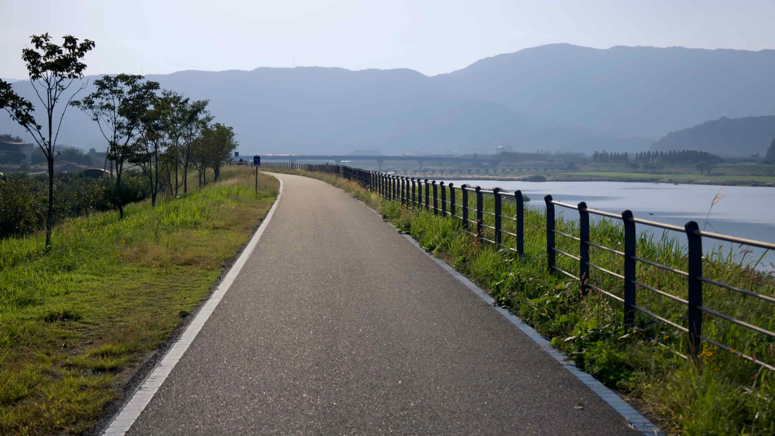
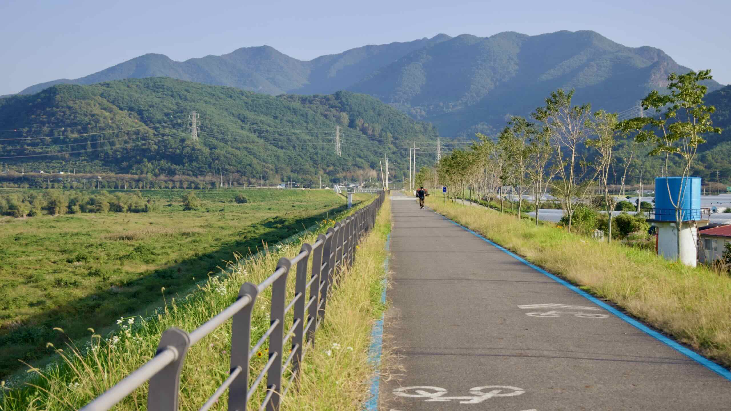
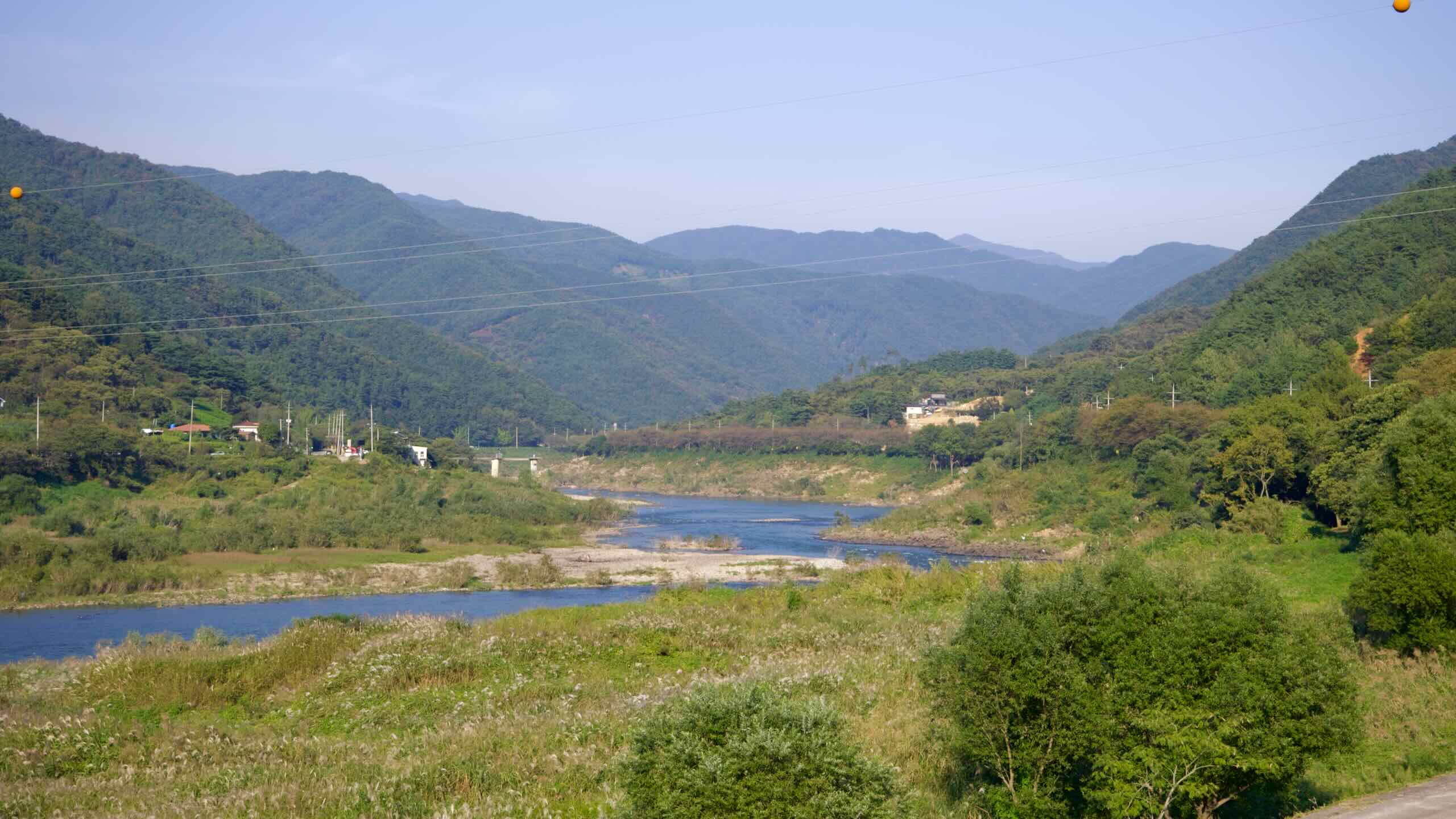
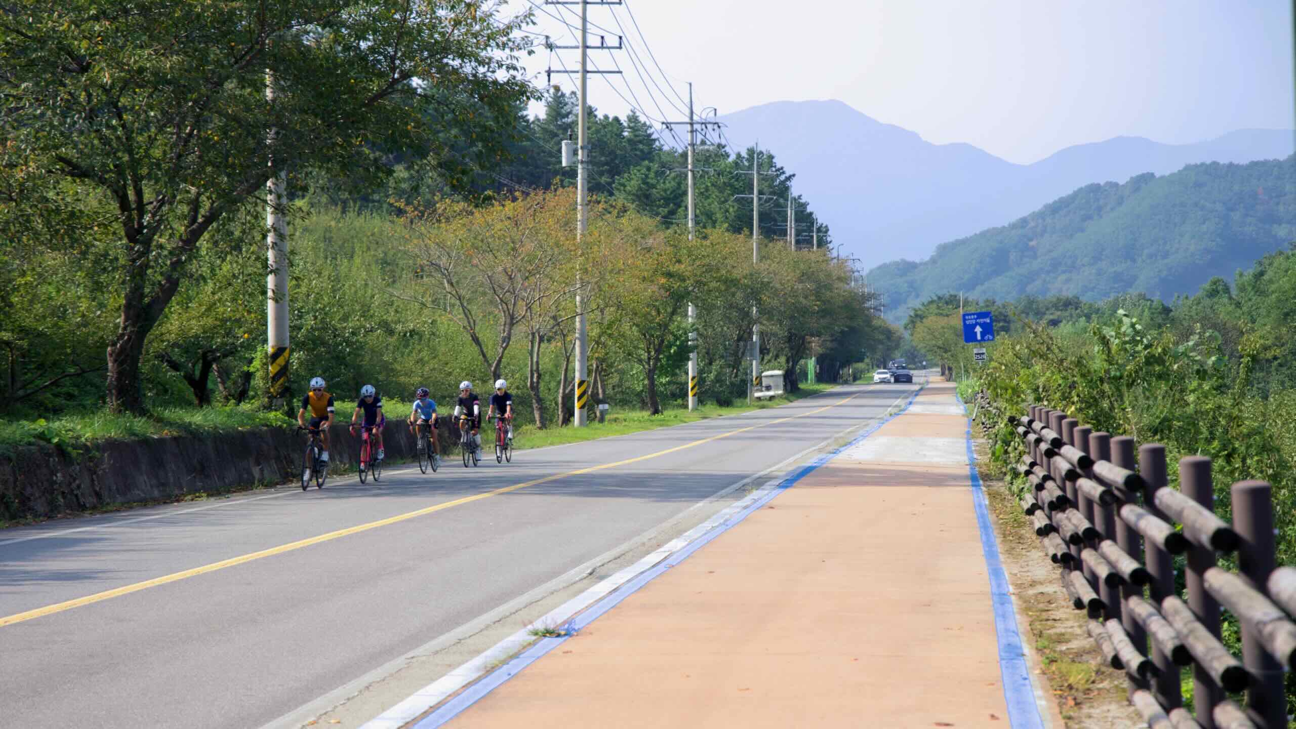
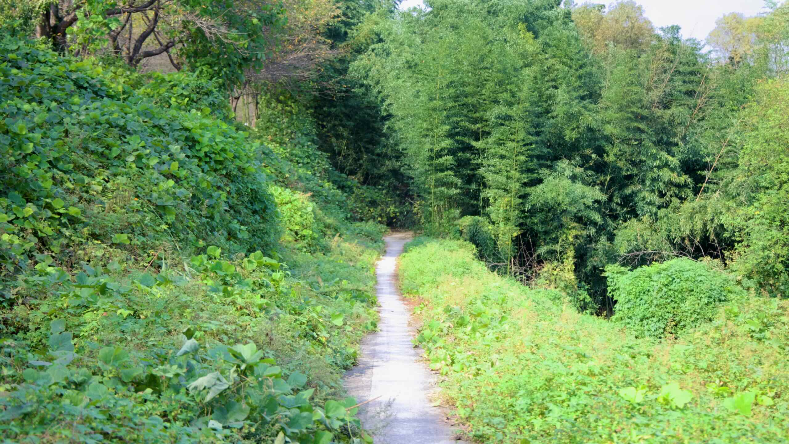
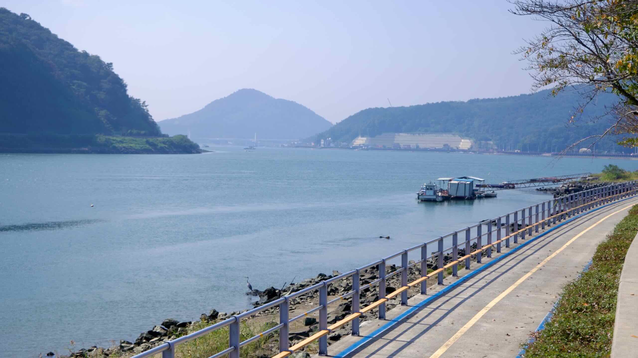
섬진강 북쪽 강변의 2차선 도로를 따라 계속 페달을 밟아봅니다. 이 조용한 구간 역시 울창한 나무 그늘 아래로 이어지며, 한적한 분위기를 자아냅니다.
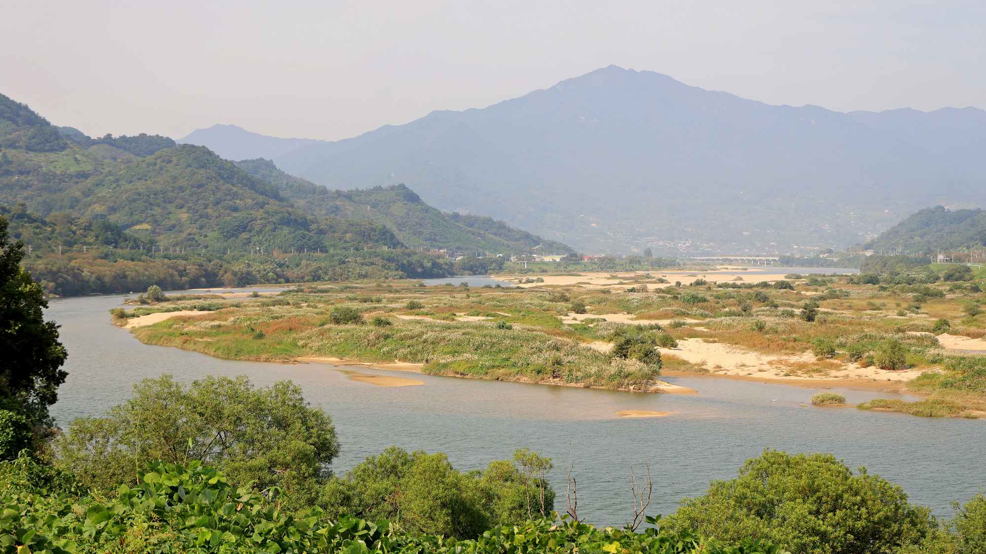
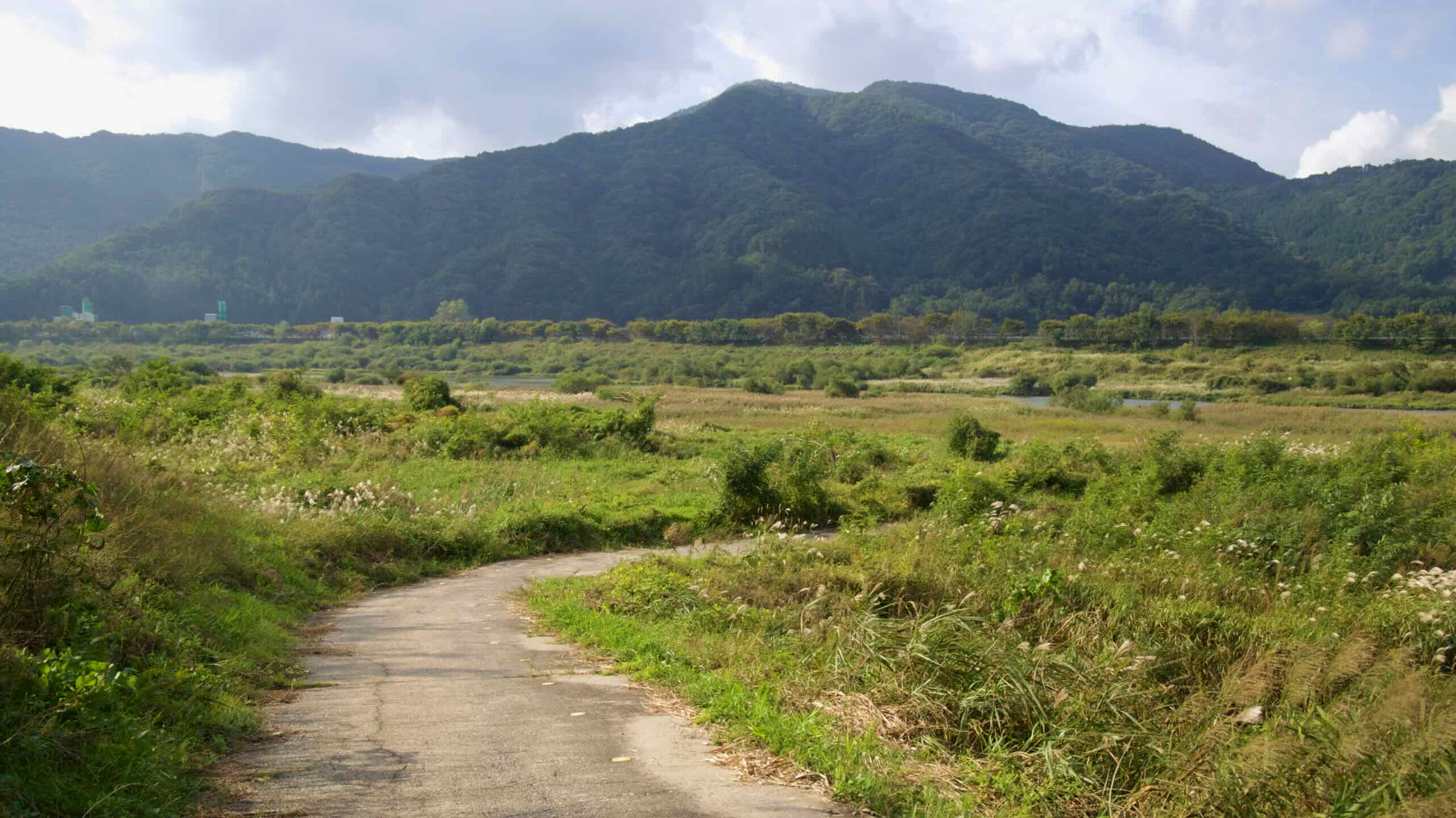
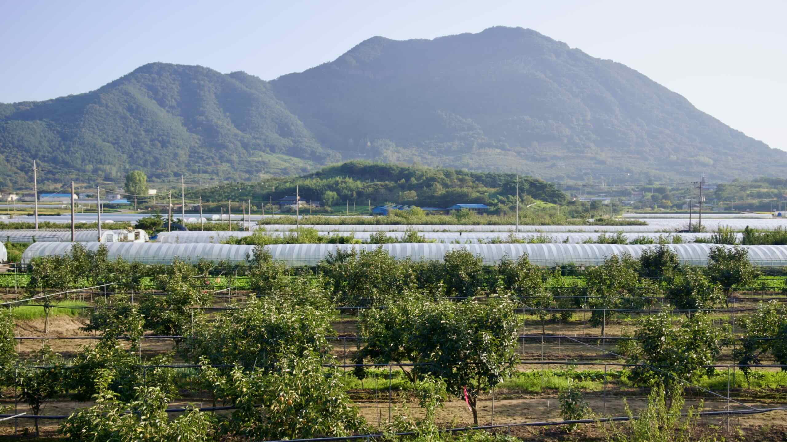
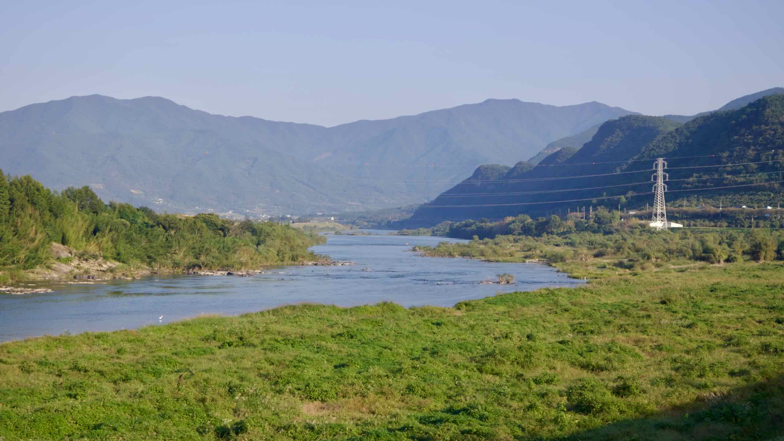
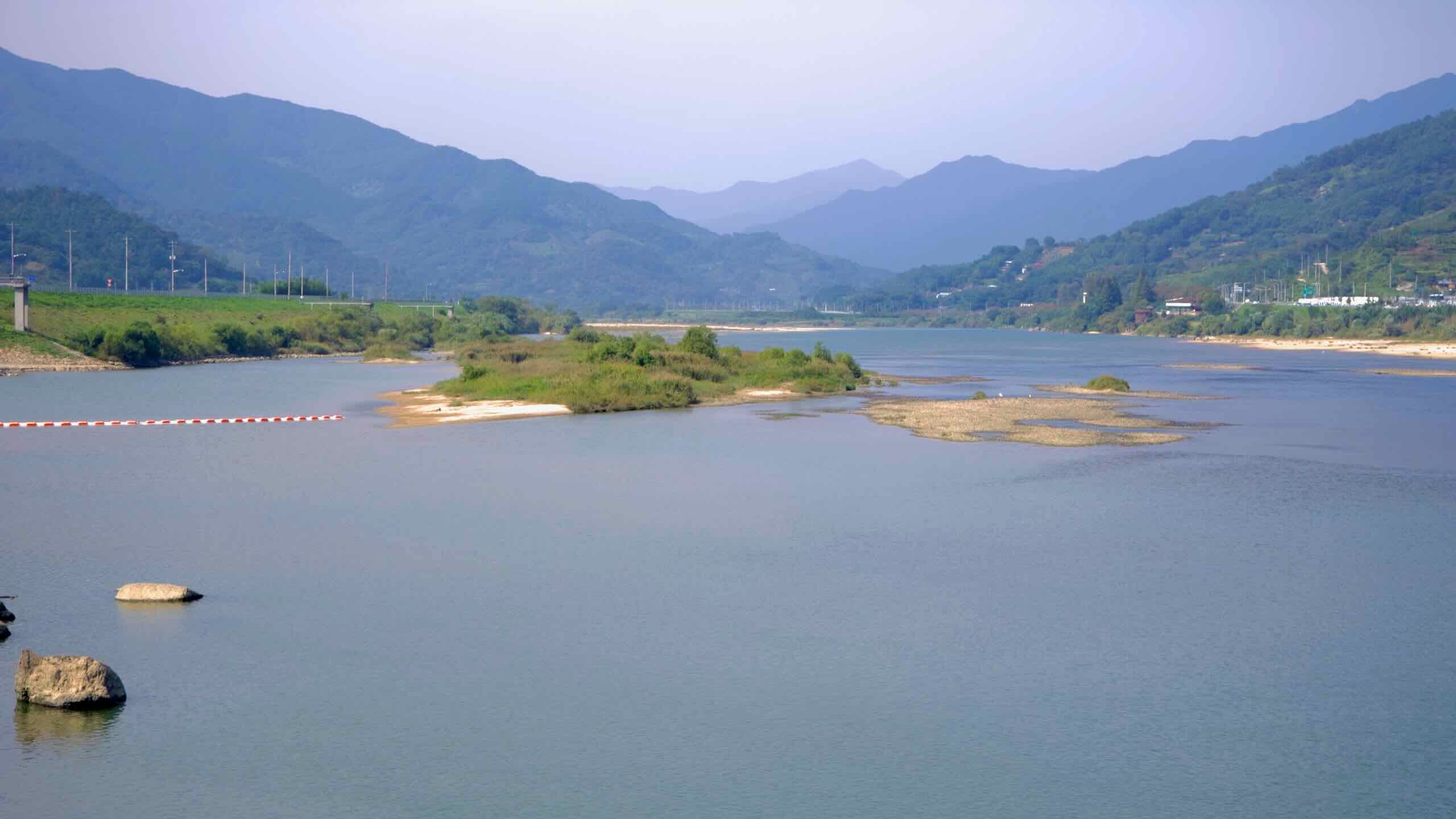
섬진강을 따라 흐르듯 달리다 보면, 주변엔 지리산 자락에서 뻗어 나온 산봉우리들이 모습을 드러냅니다. 강변에서 내륙으로 이어지는 작은 시골길은 논밭과 외딴 농가로 이어지며, 운이 좋다면 자그마한 동굴(지도)도 발견할 수 있습니다.
몇 킬로미터를 더 가면 유곡마을(지도)에 들어섭니다. 이 마을은 한때 계단식 논밭을 따라 돌로 쌓은 ‘다무락’ 담장이 많았던 것에서 유래해, 지역에서는 “다무락”이라는 별칭으로 불리기도 합니다. 섬진강과 지리산 자락 사이에 자리한 이 농촌 마을은 구례에서 가장 경관이 아름다운 “슬로우 빌리지” 중 하나로 꼽힙니다.
18세기 지리학자 이중환은 그의 고전 『택리지』에서 이 지역을 조선 10대 명승지 중 하나로 선정했습니다.
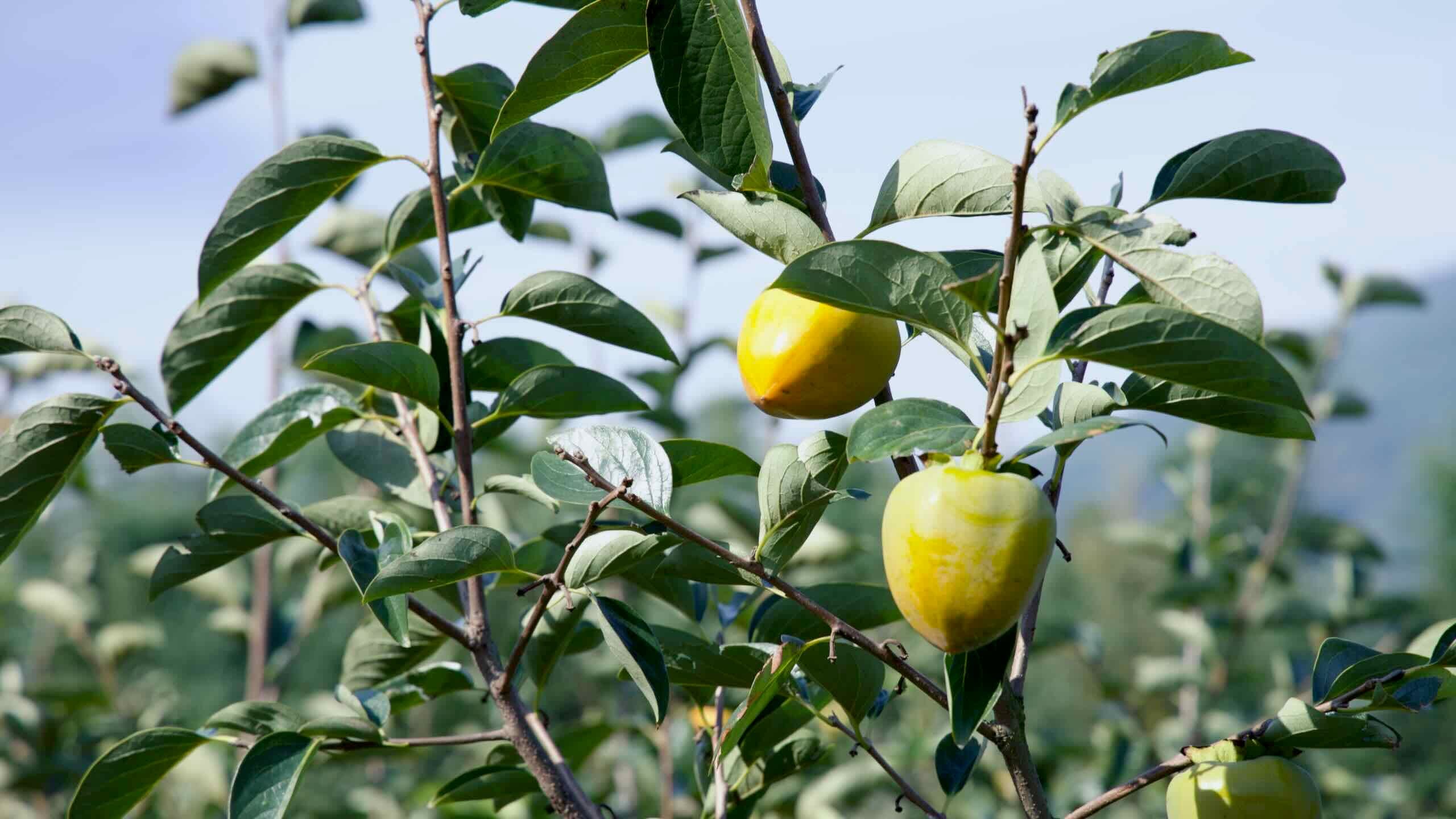
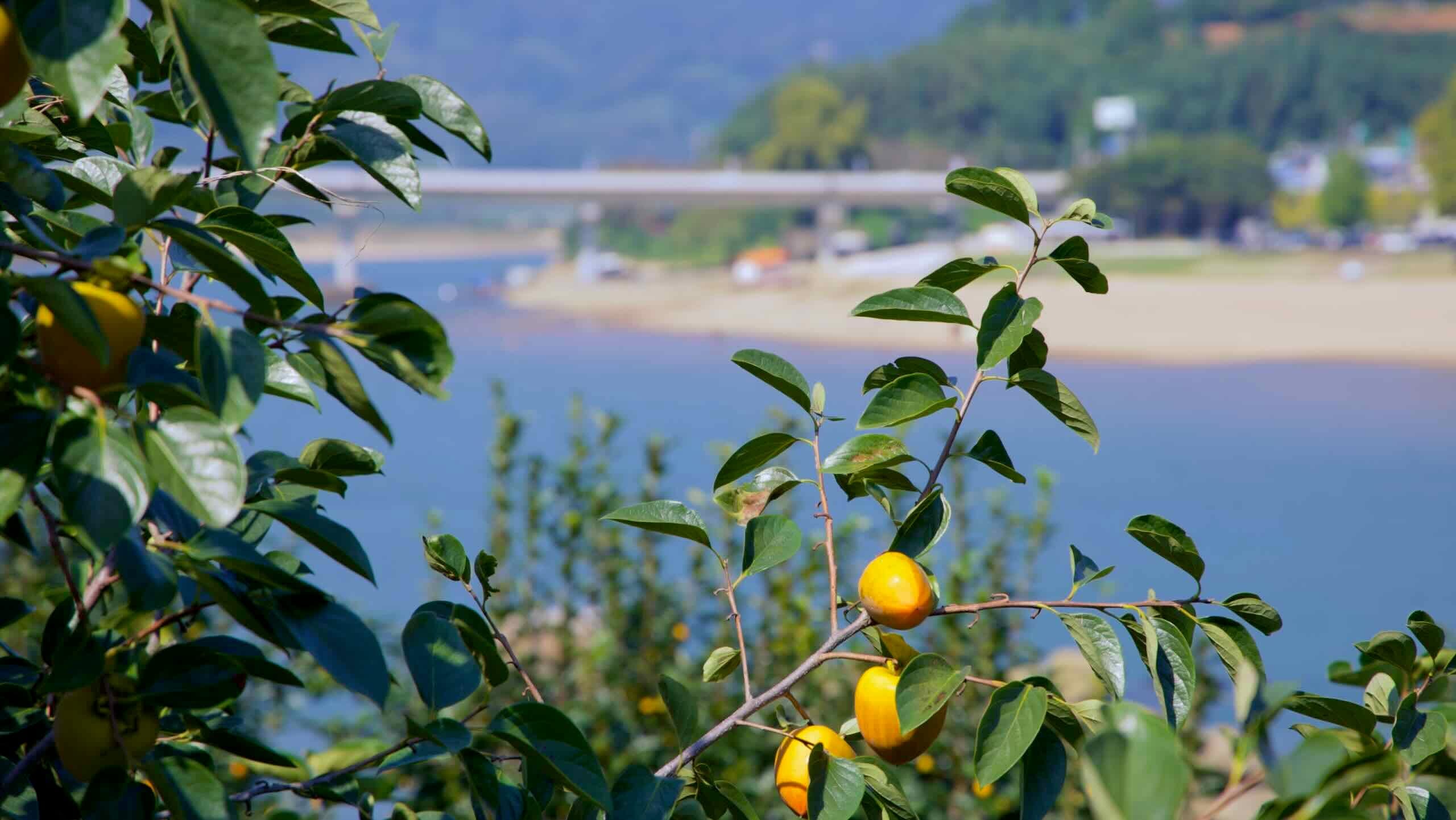
오늘날 유곡 주민들은 그 명성을 이어가며 대봉감 과수원을 가꾸고, 봄이면 산수유꽃으로 노랗게 물든 언덕을 선보이며, 가을에는 산약초로 가득한 장터를 엽니다.
마을은 하촌, 중촌, 상촌으로 나뉘며, 이들 사이를 잇는 돌계단식 밭이 마을의 이름을 상징합니다.
지역 주민들은 몇천 원만 내면 손수 만든 전라도 가정식을 여행객에게 대접하기도 합니다.
자전거 여행객과 등산객을 위한 소박한 게스트하우스와 개조된 폐교 숙소도 운영 중이며, 감 열매 솎기, 황토 염색, 조선 선비의 흔적을 따라 강변길 걷기 같은 체험 프로그램도 즐길 수 있습니다.
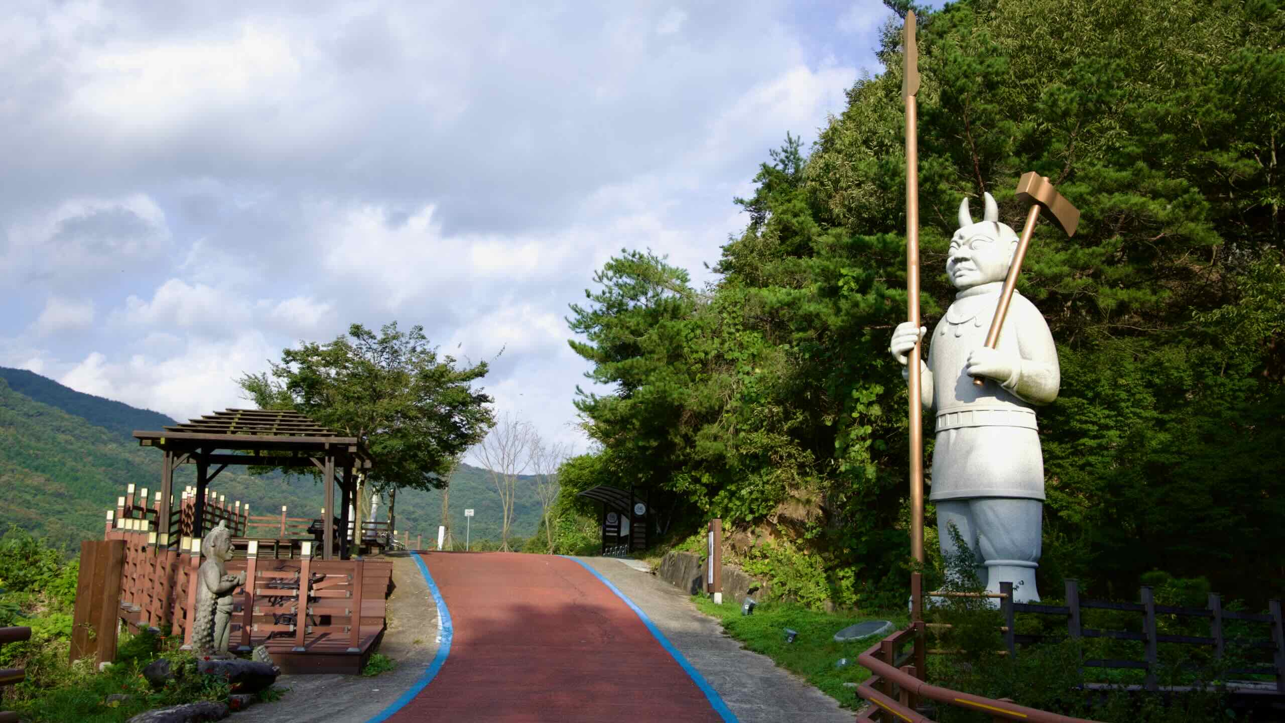
하지만 이 주차장은 단순한 쉼터가 아닙니다. 남쪽 끝을 잘 살펴보면 택시들이 여럿 대기해 있는 모습을 볼 수 있습니다. 단돈 몇천 원이면 이 택시들이 여러분을 머리 위로 솟아오른 오산(지도) 정상까지 데려다줍니다. 그 꼭대기에는 섬진강 자전거길의 또 다른 하이라이트, 사성암이 자리해 있습니다.
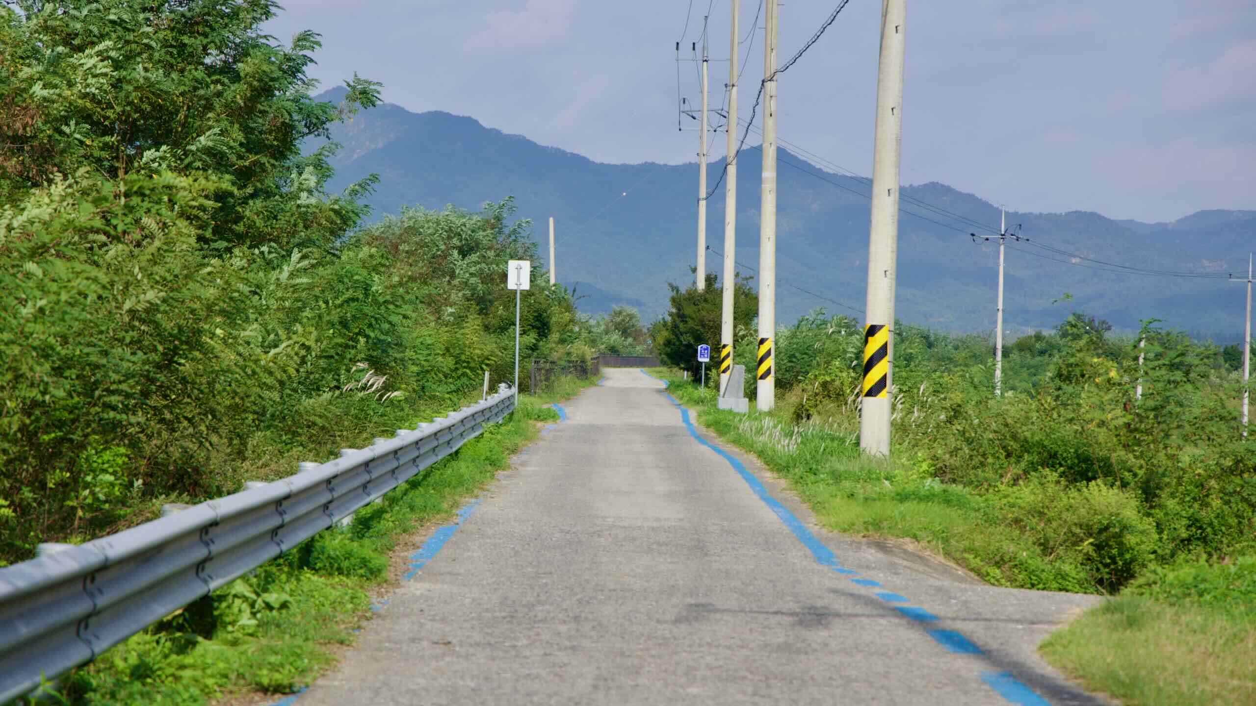
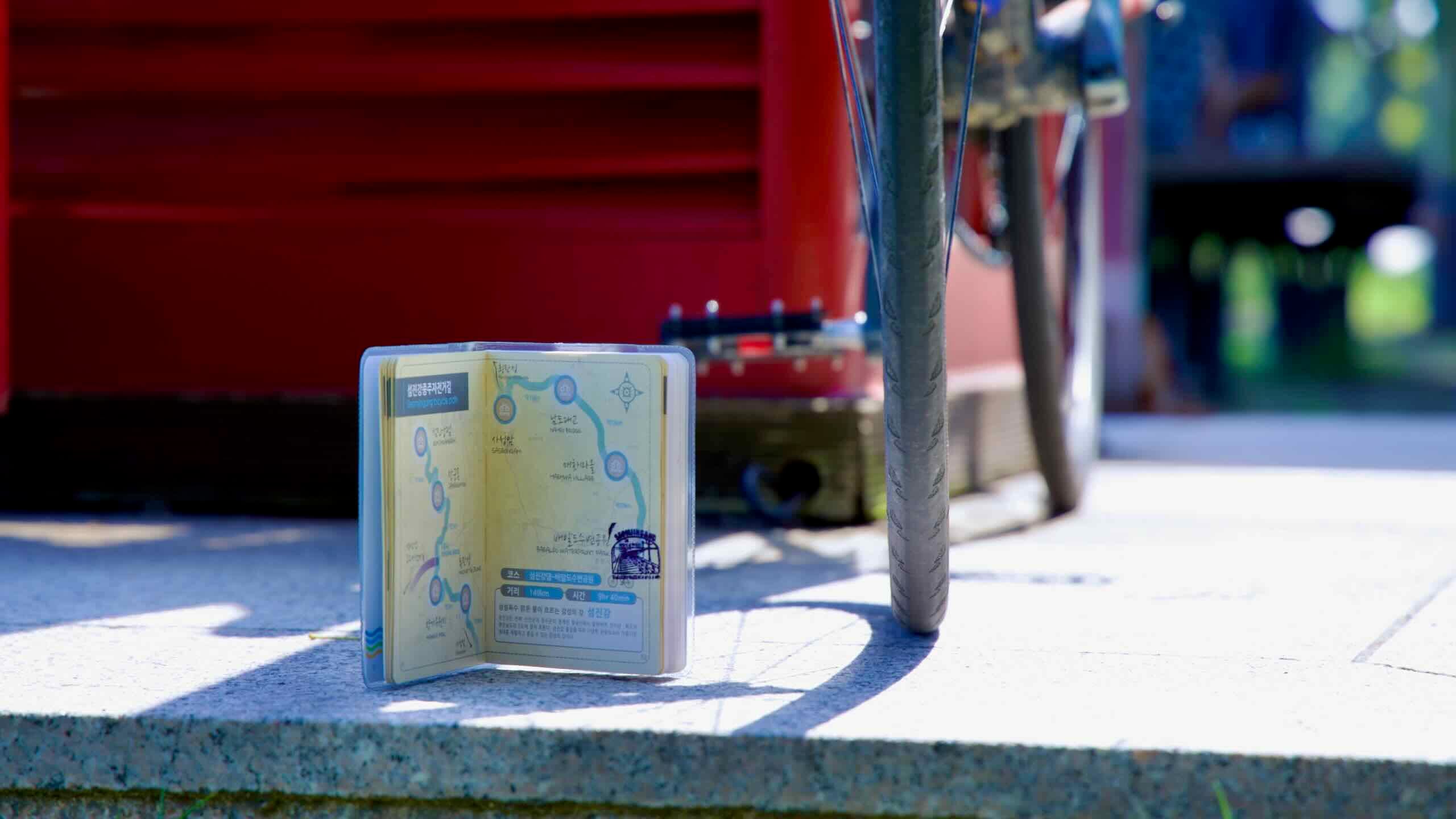
(참고: 자전거로 직접 사성암까지 오를 수도 있습니다. 단, 총 3.1킬로미터 동안 해발 388미터를 오르는 코스로, 평균 경사도는 12.52%에 달하며 도로 폭도 좁은 산길이니 각오가 필요합니다 [길 찾기].)
Choose between the east or west banks of the Seomjin River and cycle past a pair of “slow cities,” each offering quiet countryside views. End at a village known for its cherry blossoms and plum products.
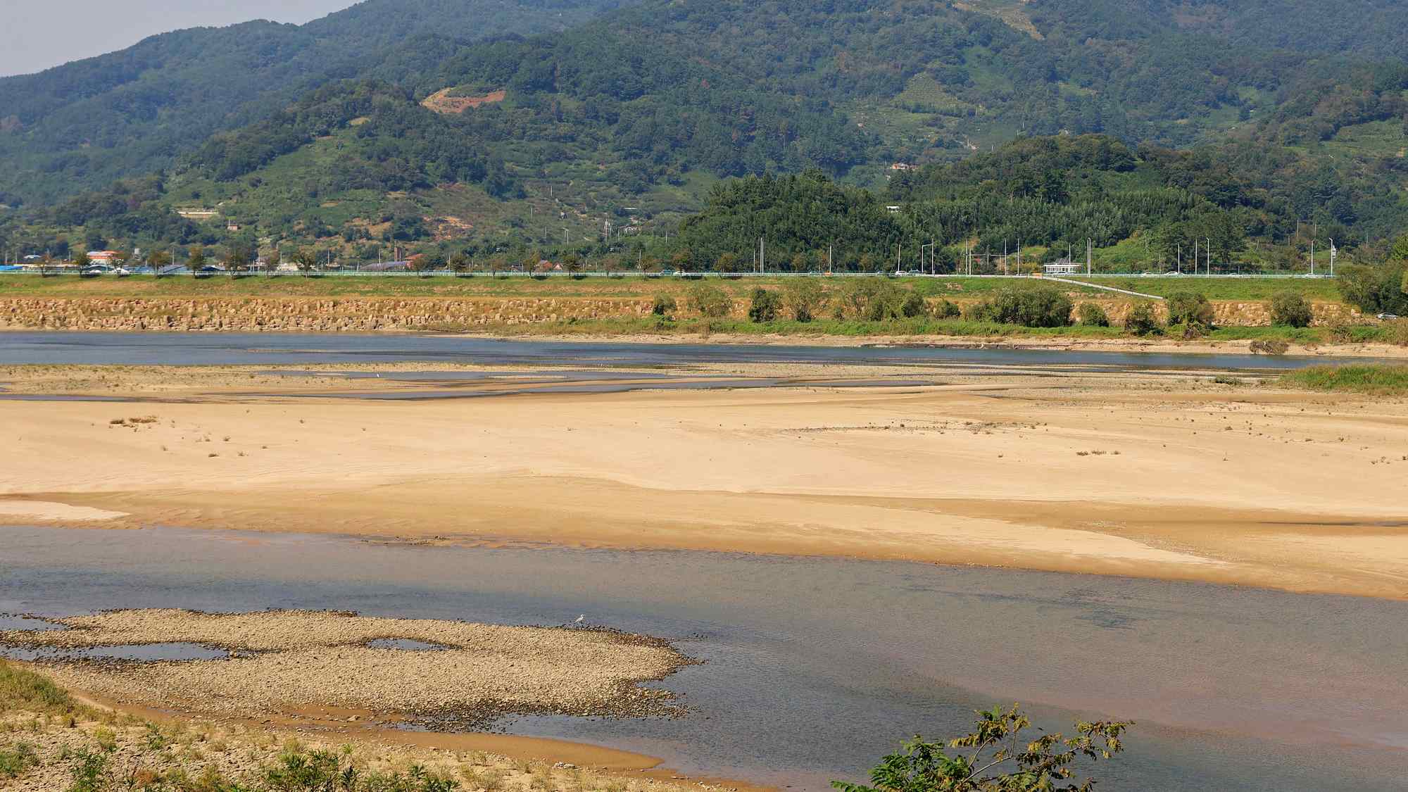
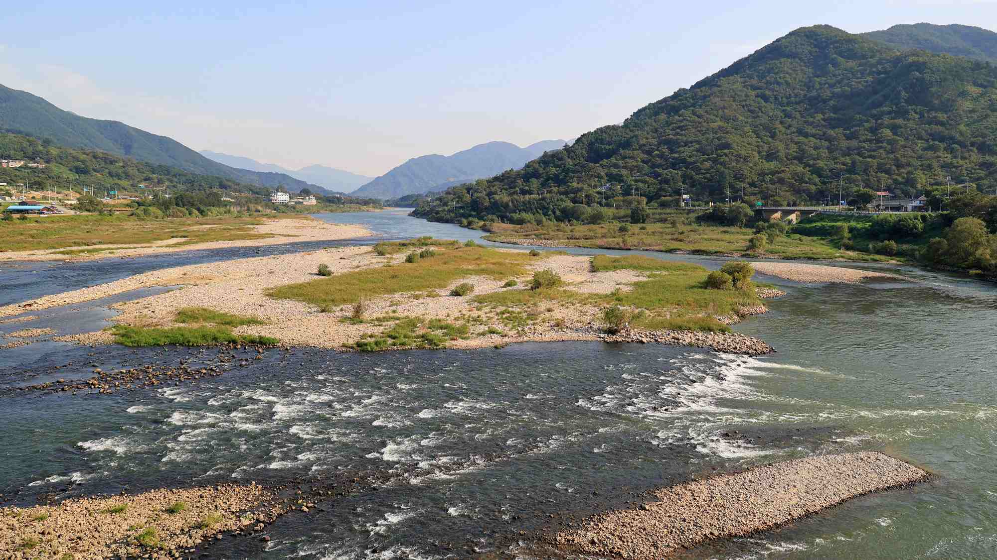
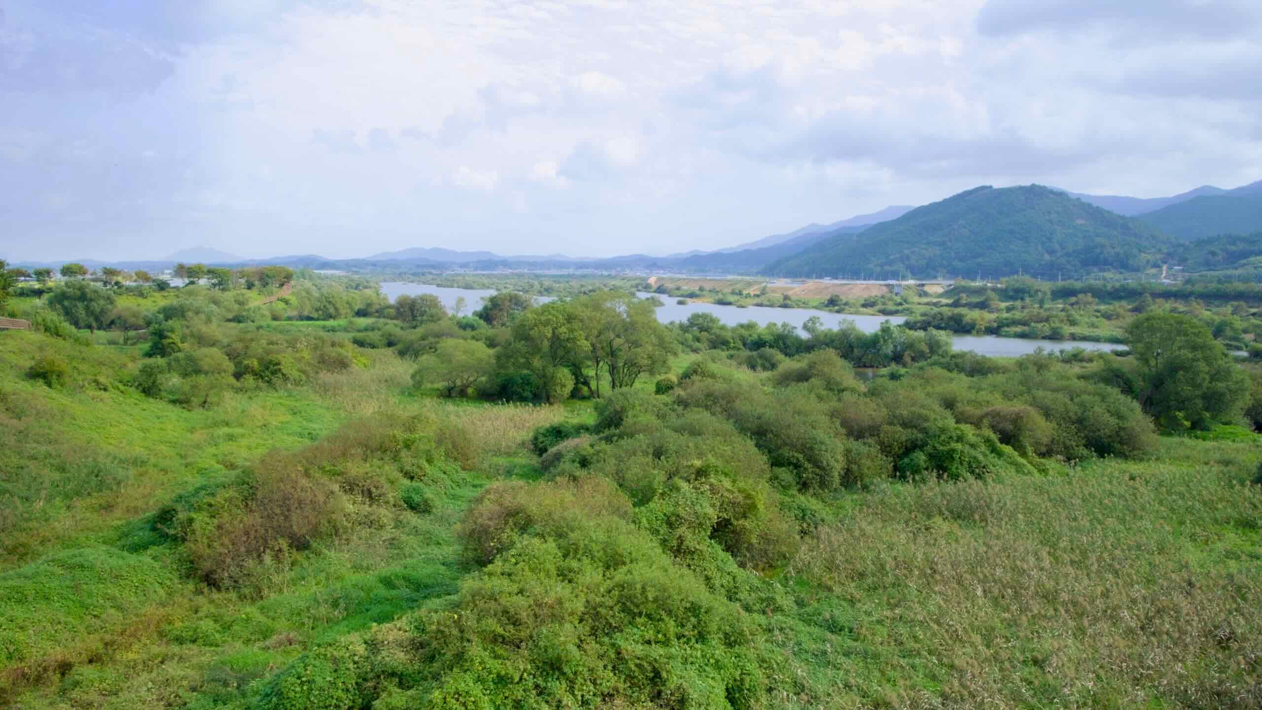
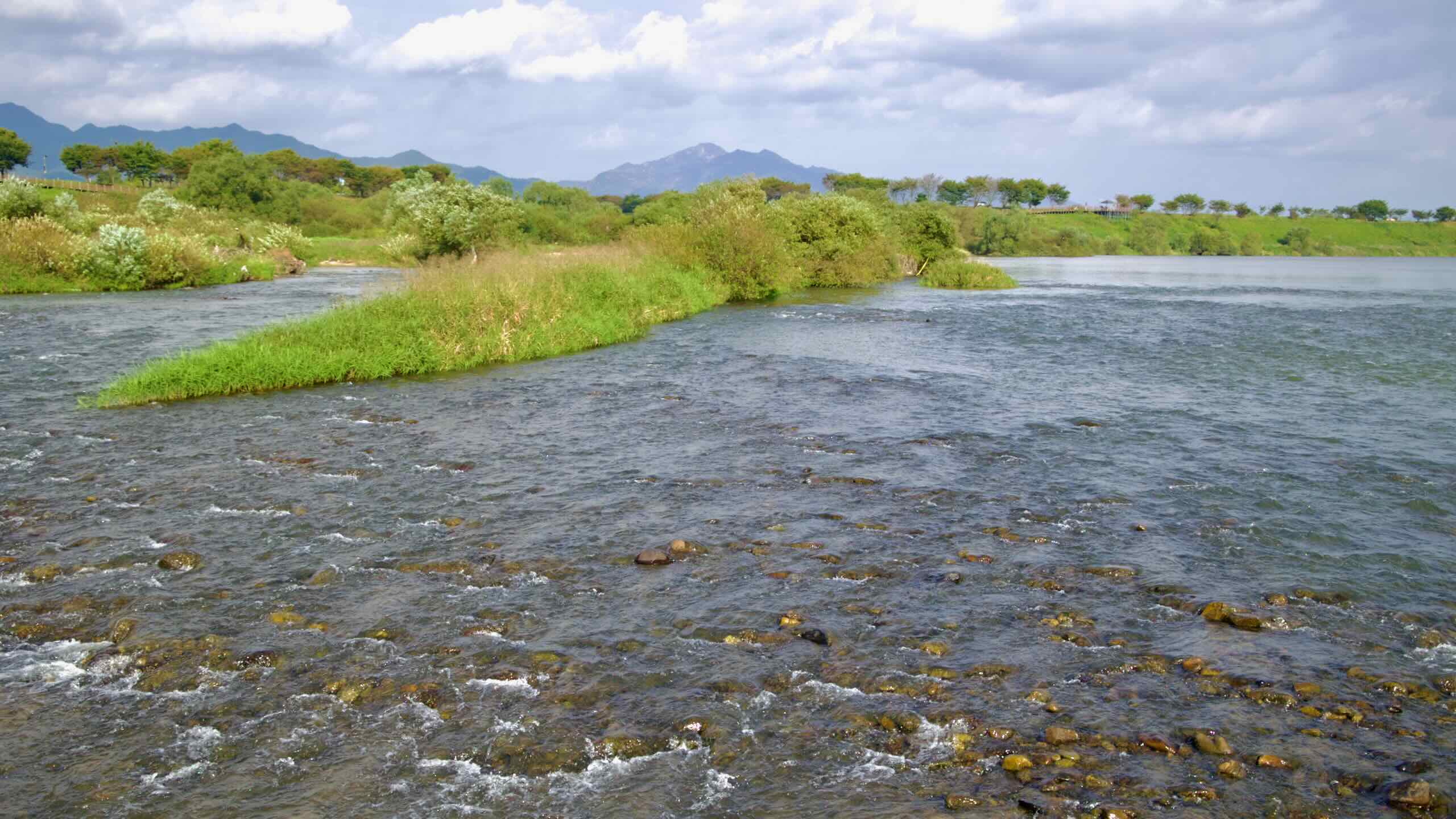
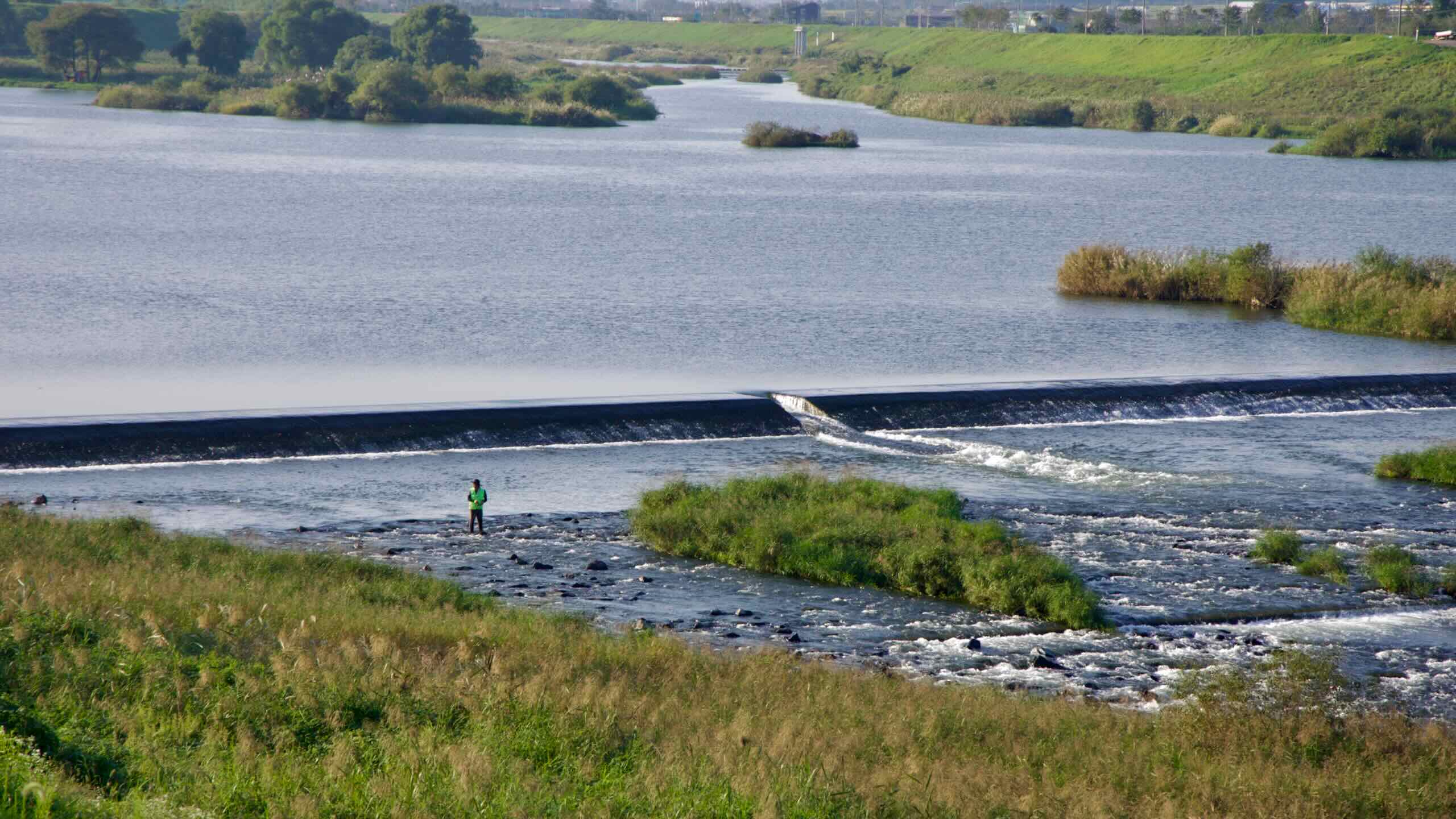
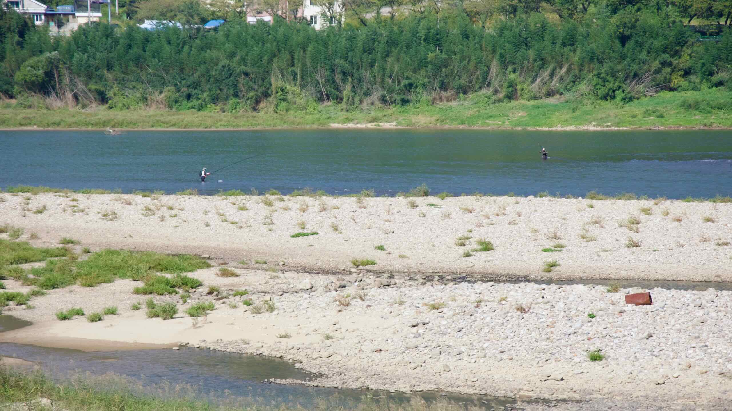
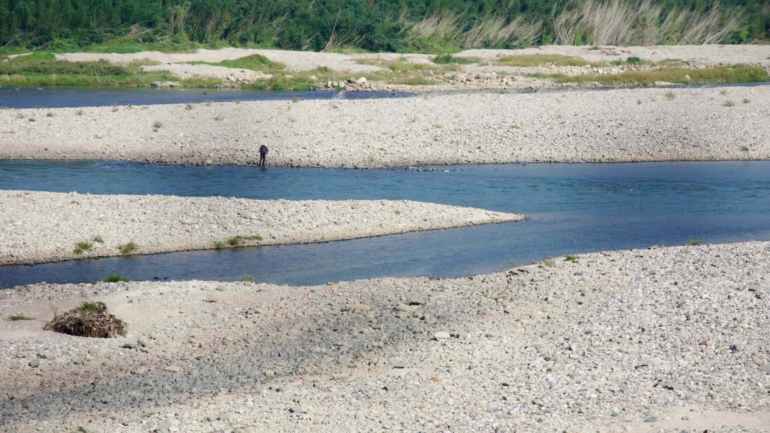
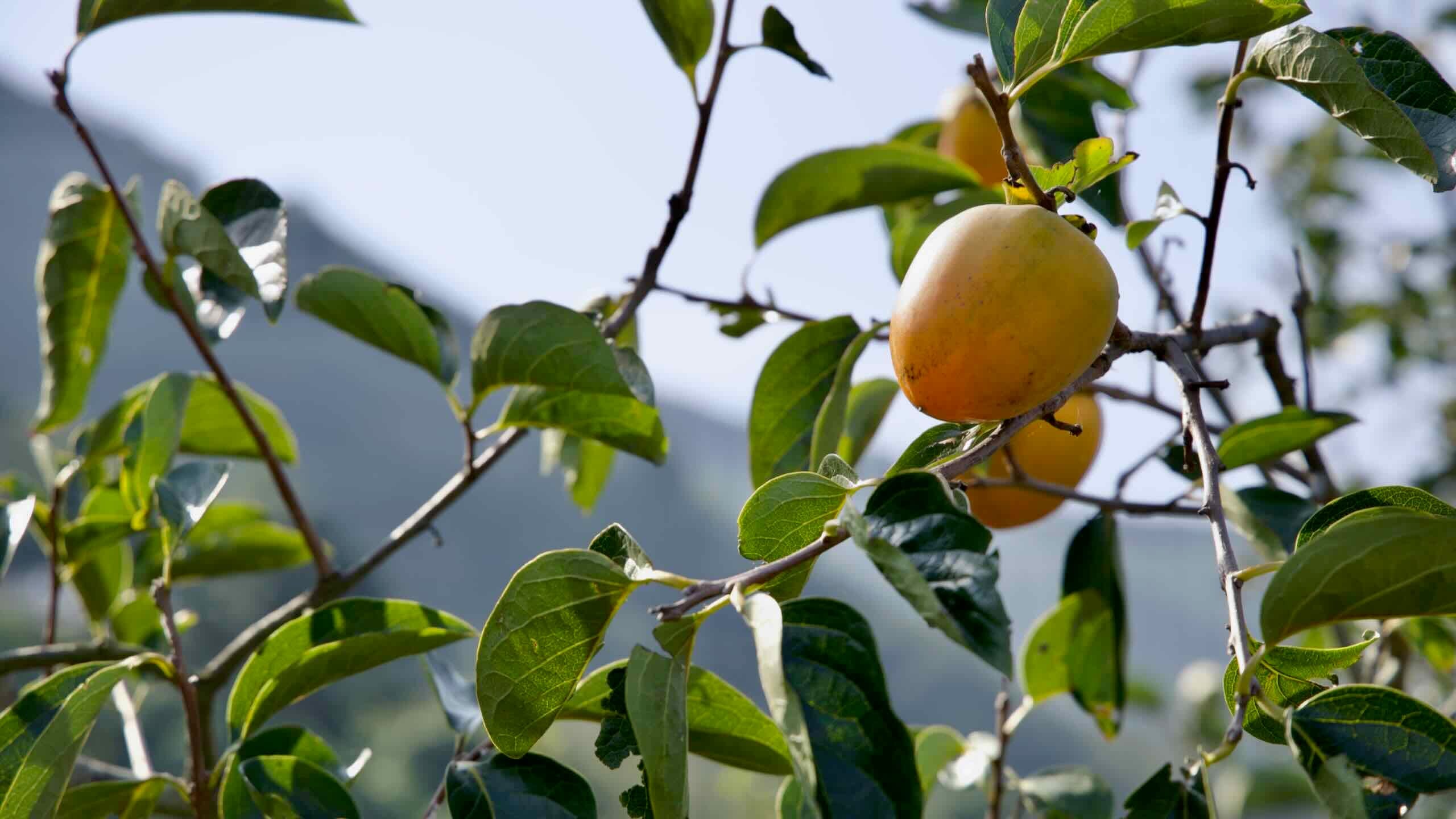
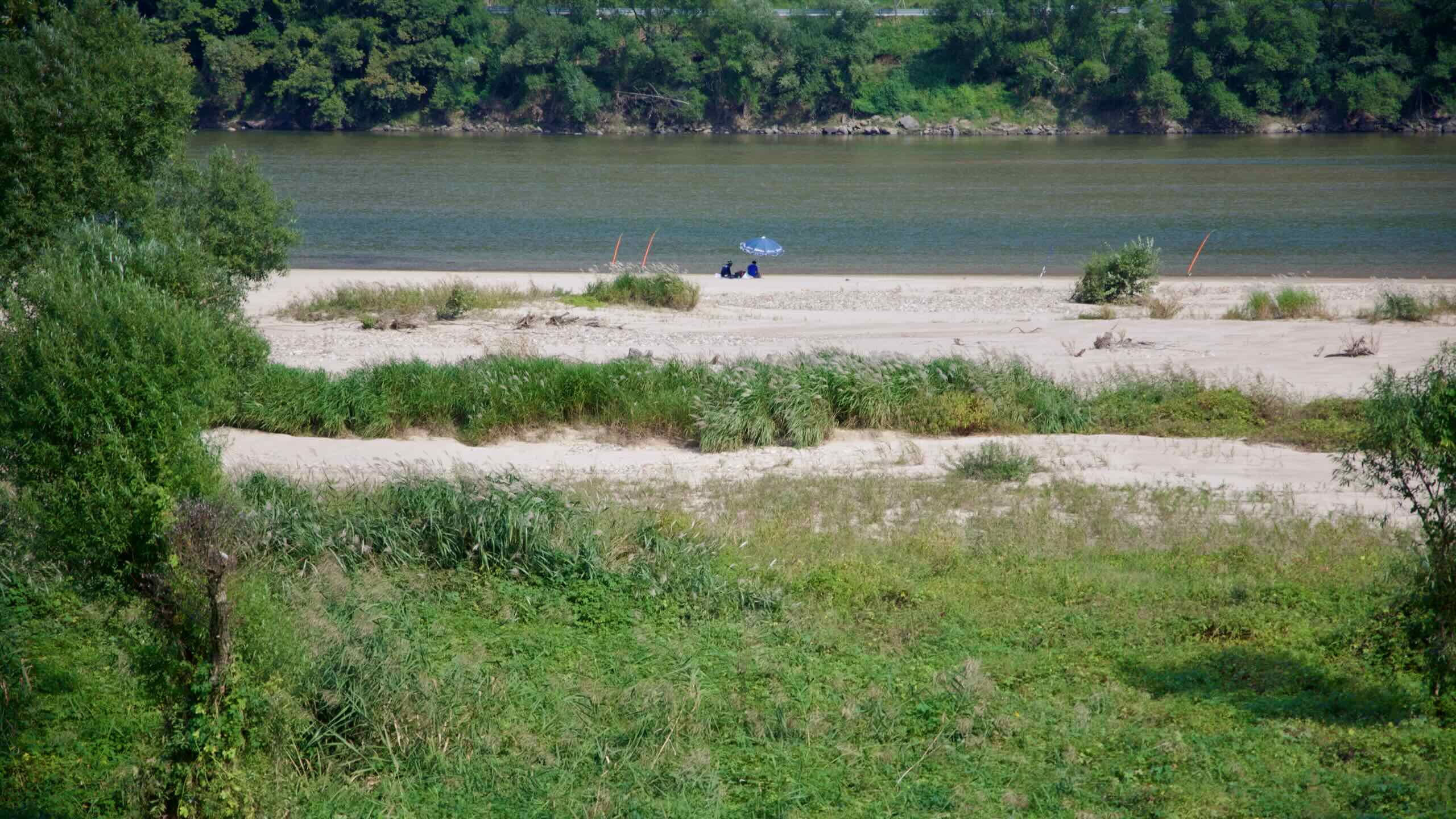
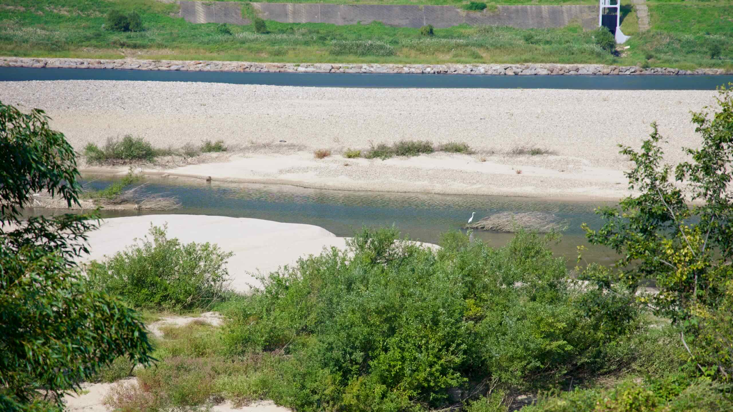
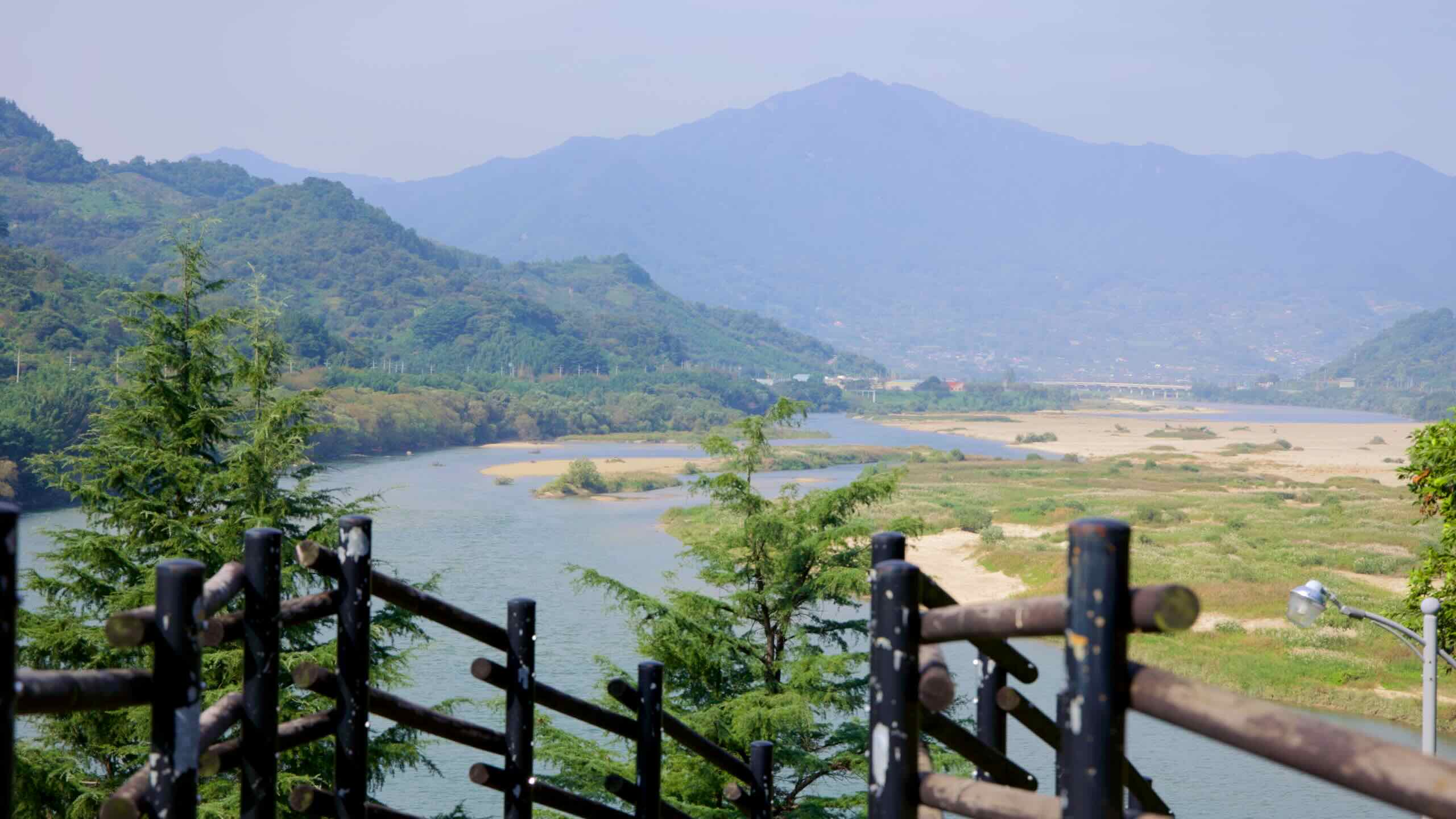
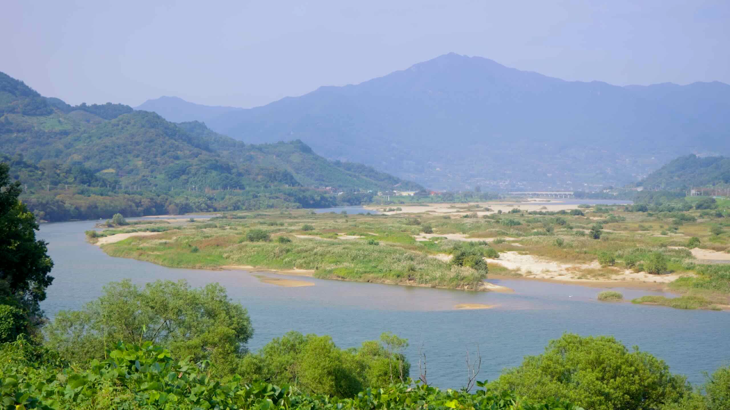
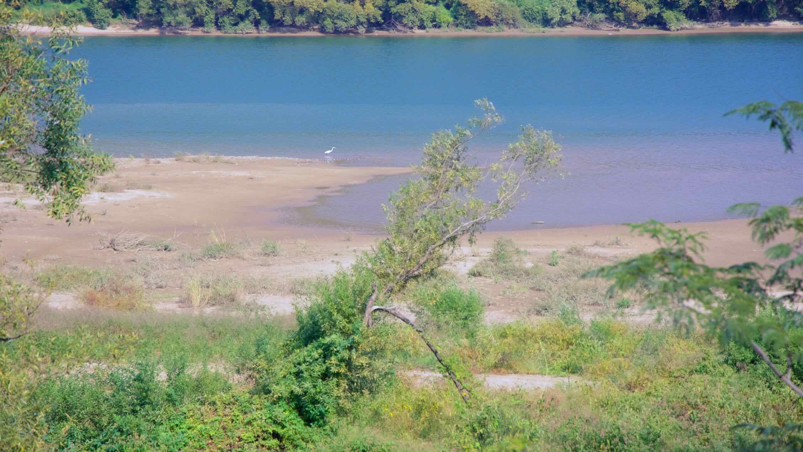
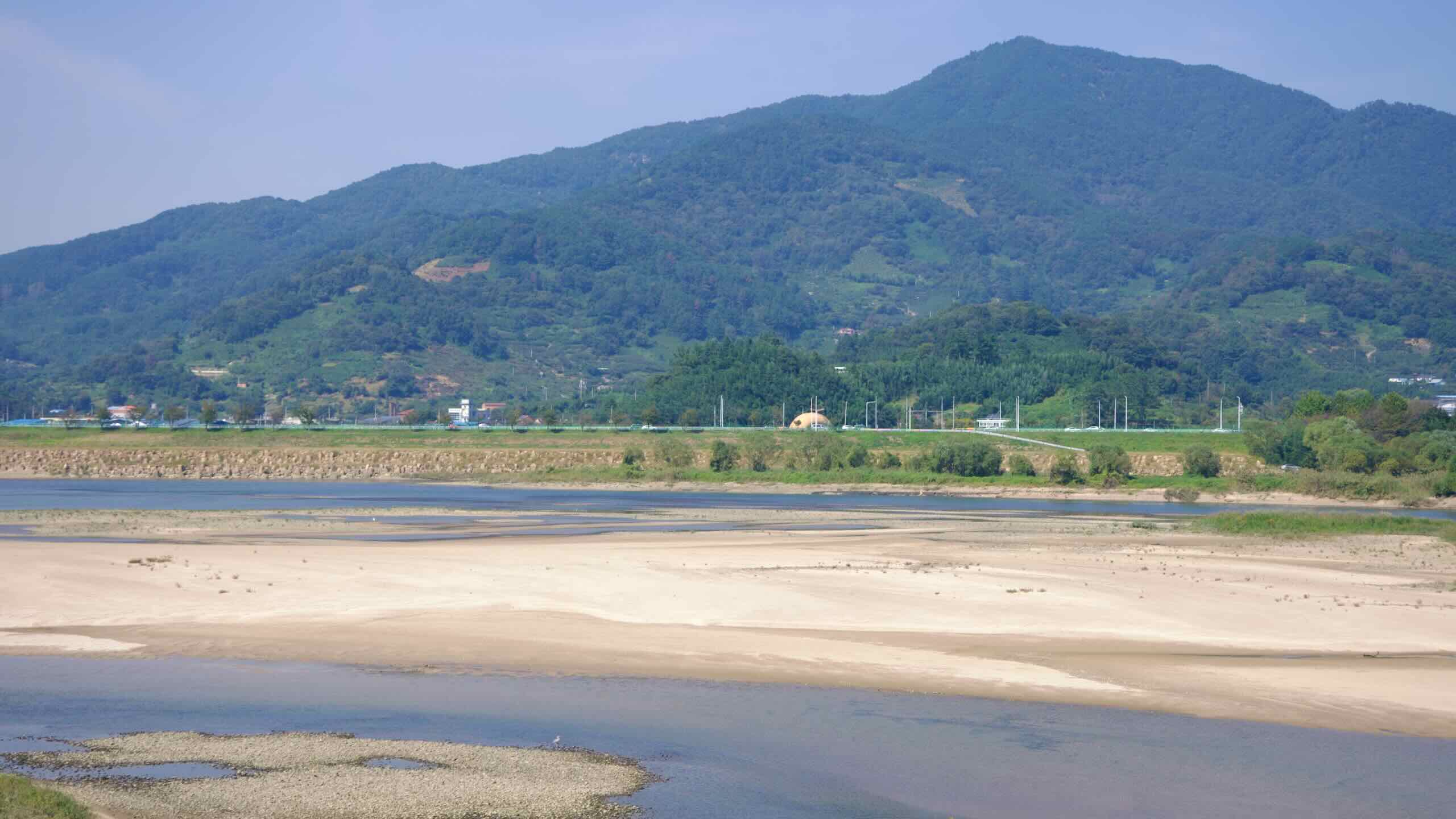
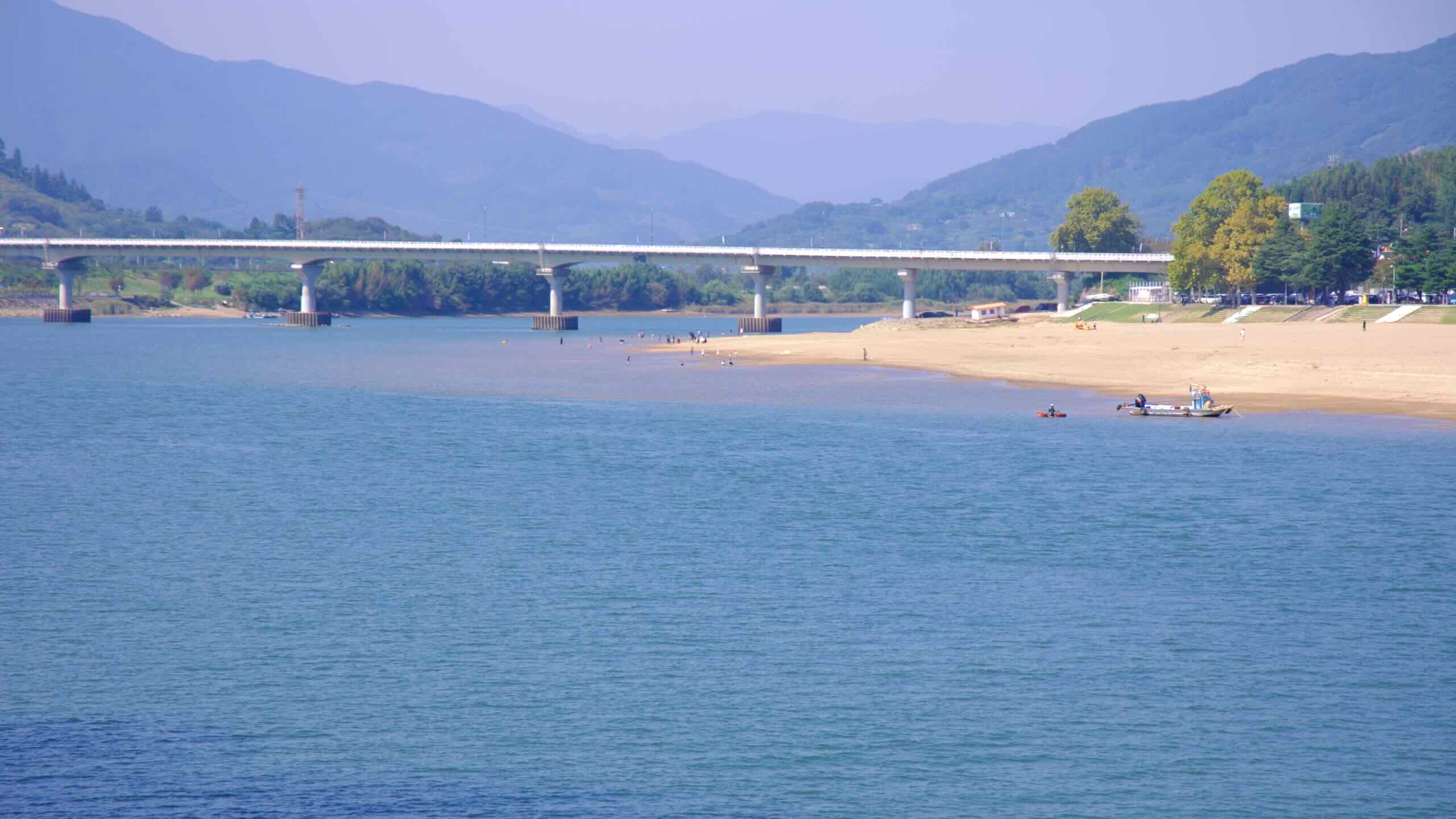
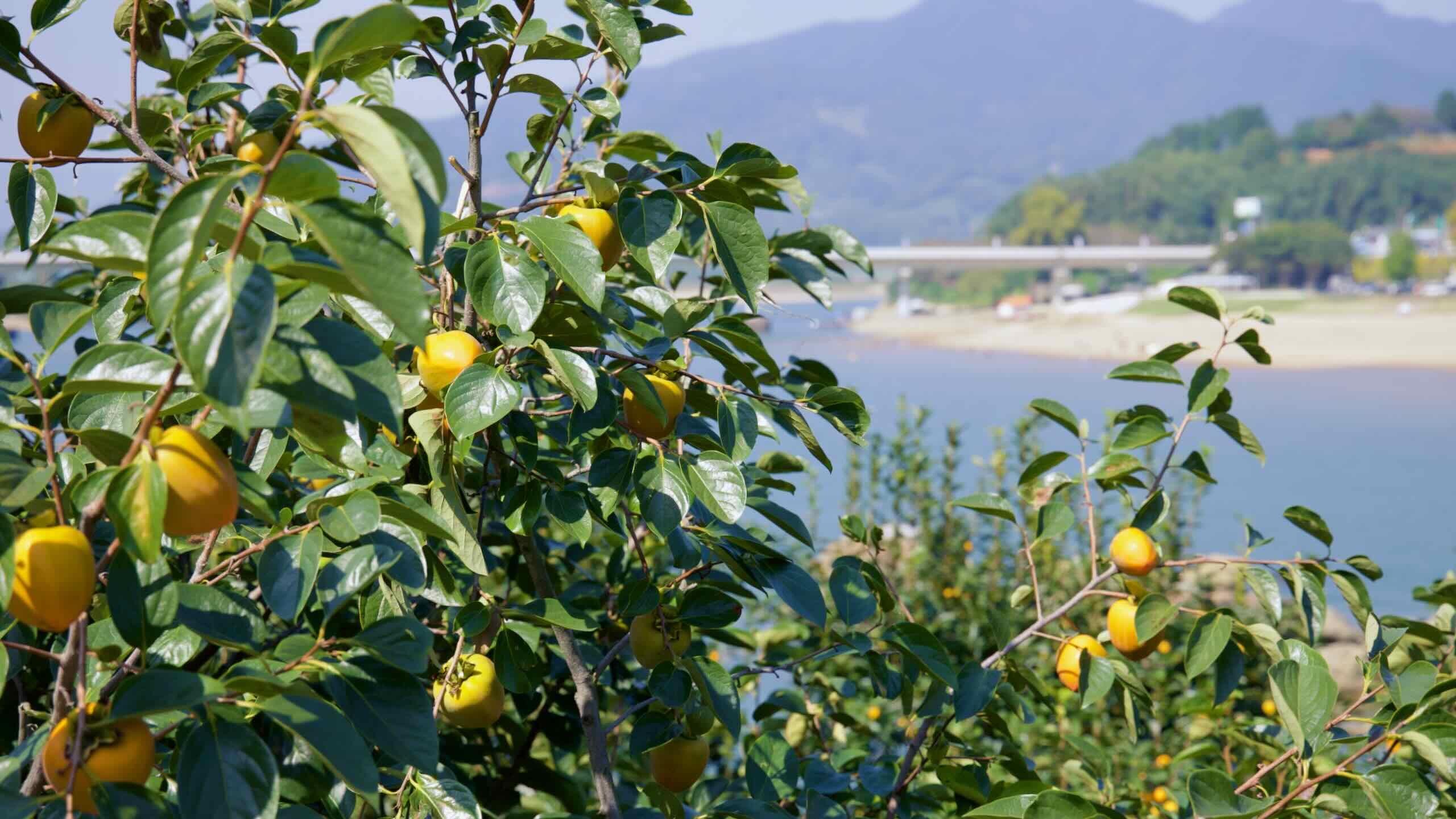
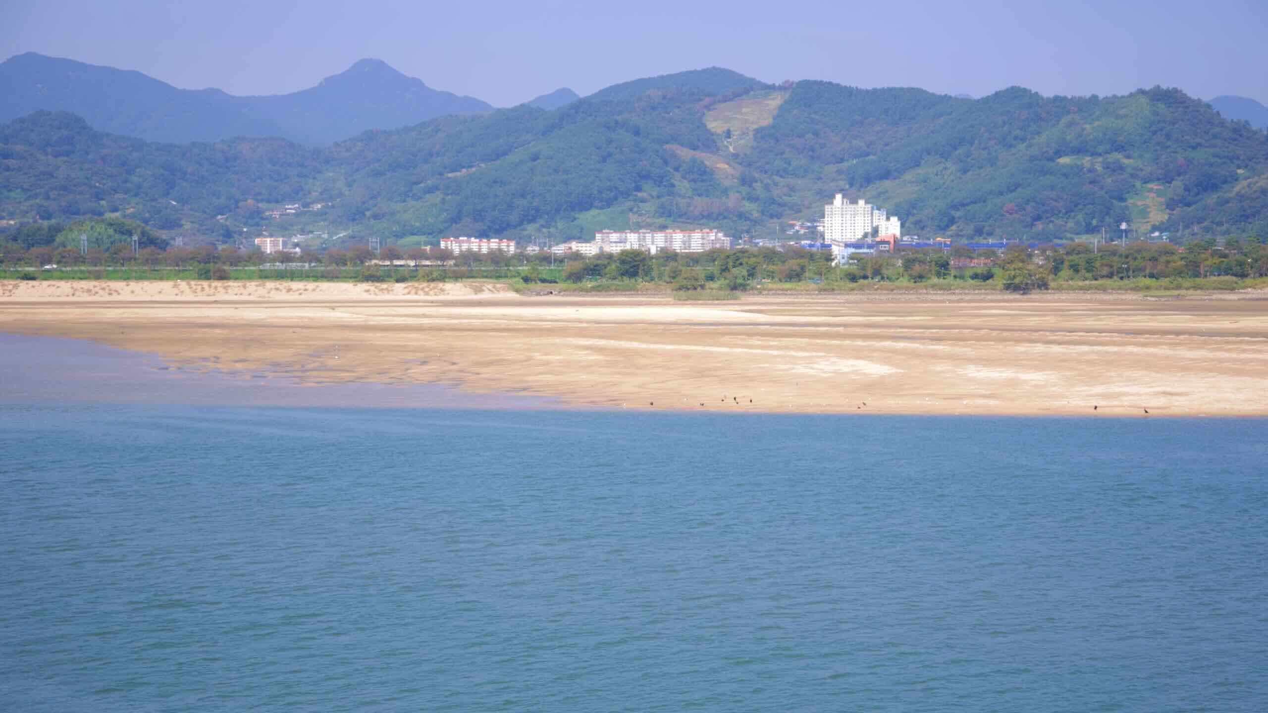
시골길을 따라 페달을 밟아라. 감나무가 스쳐 지나가면서 섬진강이 점점 넓어지고, 강 중앙에 넓게 펼쳐진 모래섬들이 드러난다.
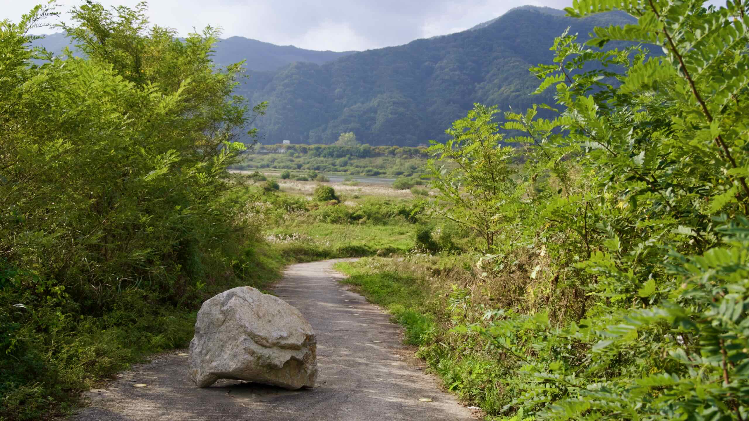
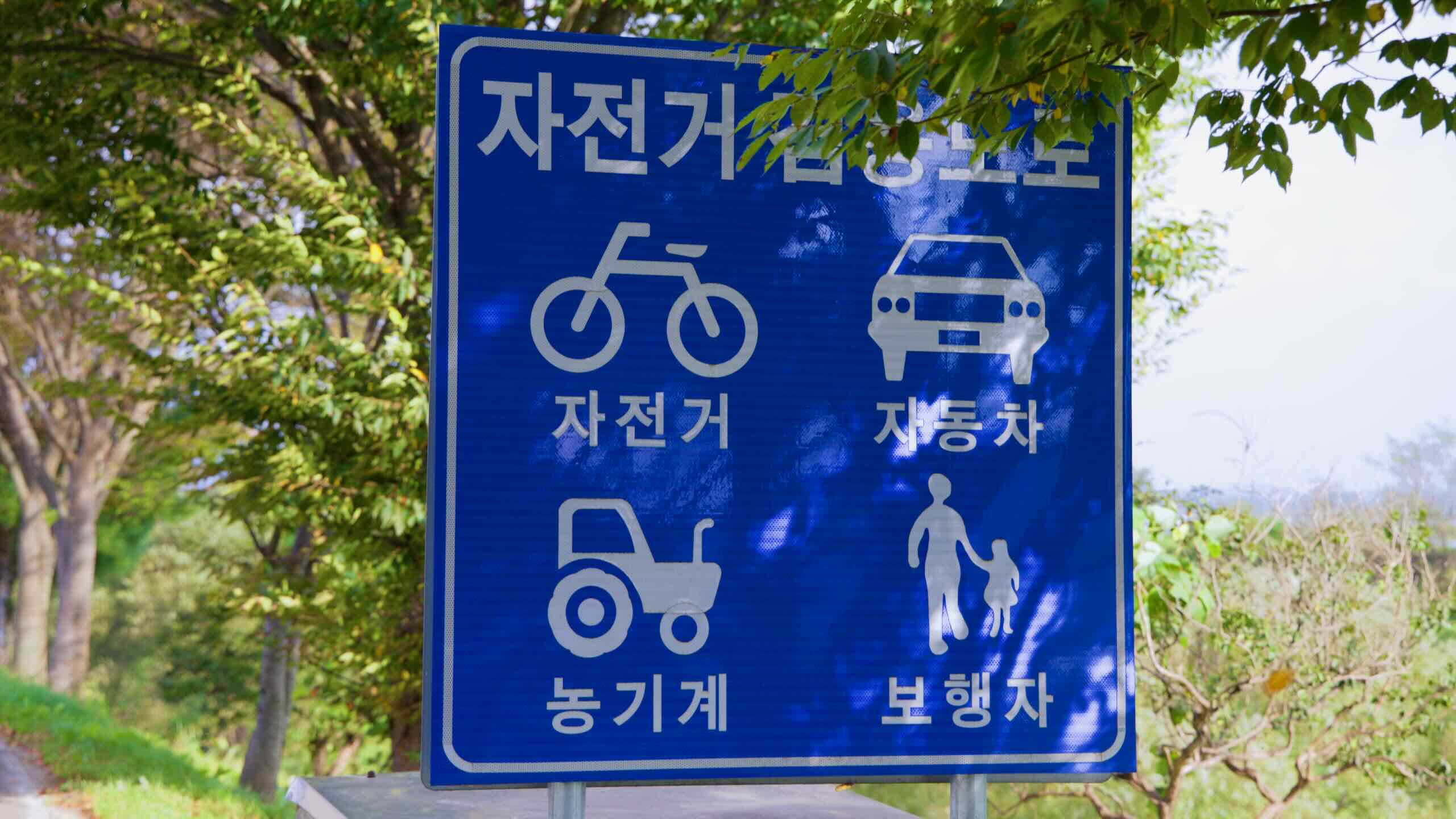
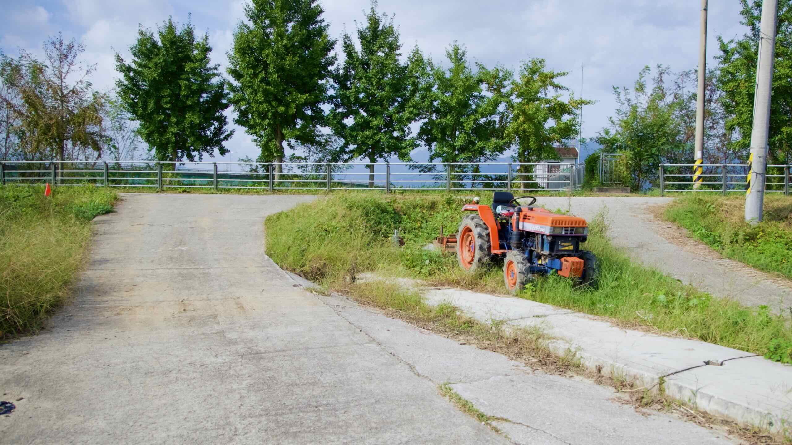
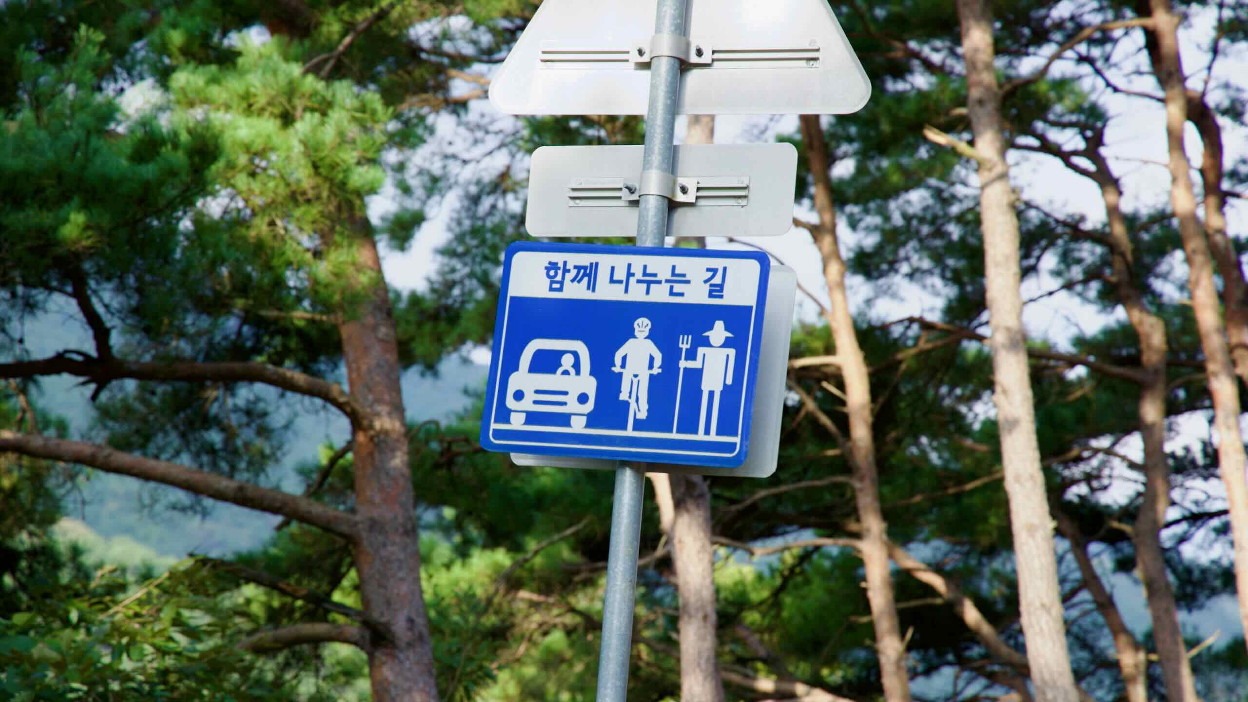
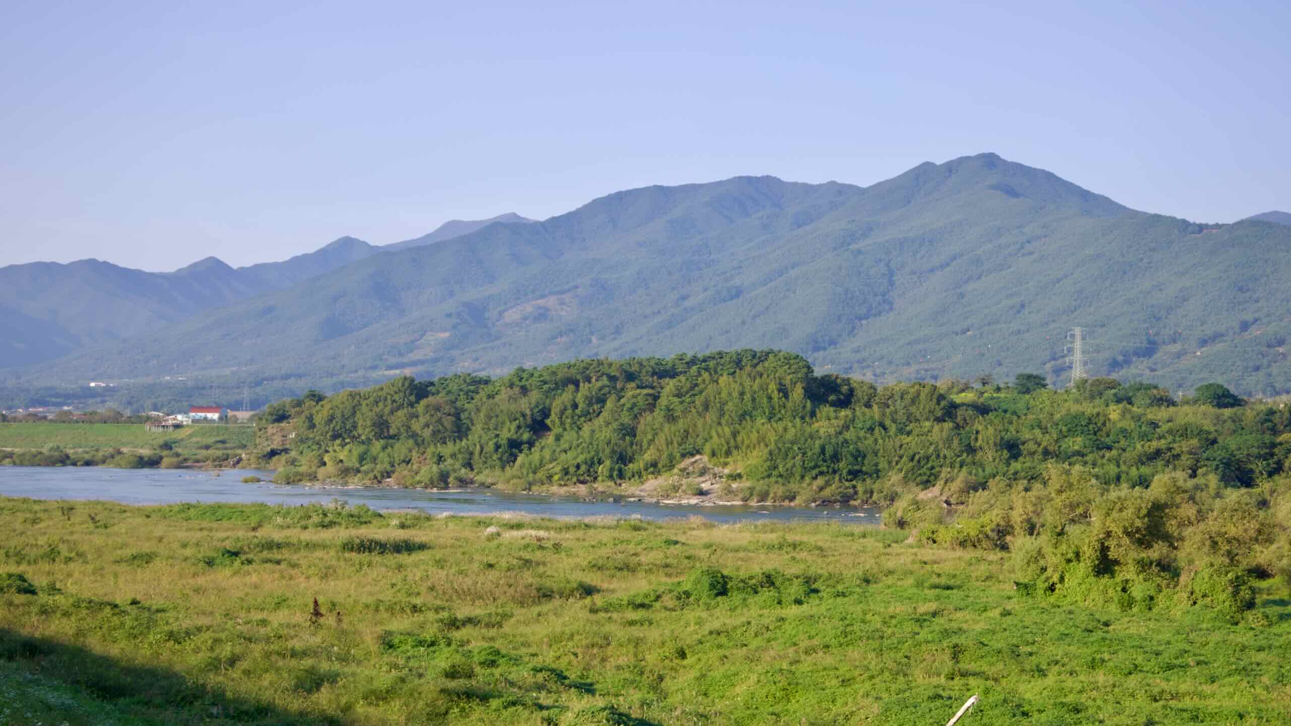
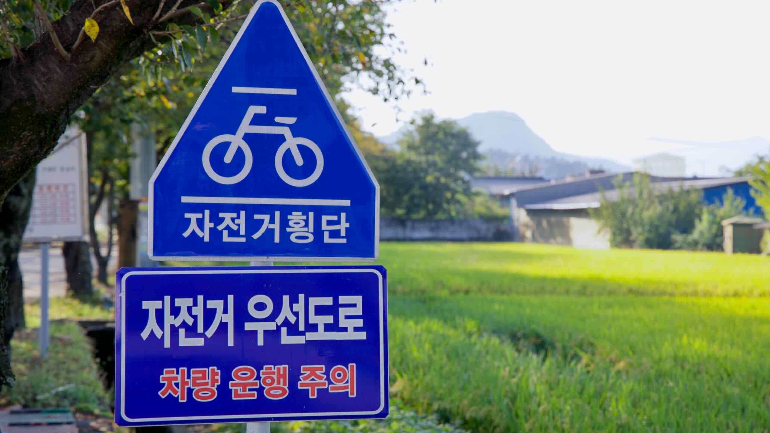
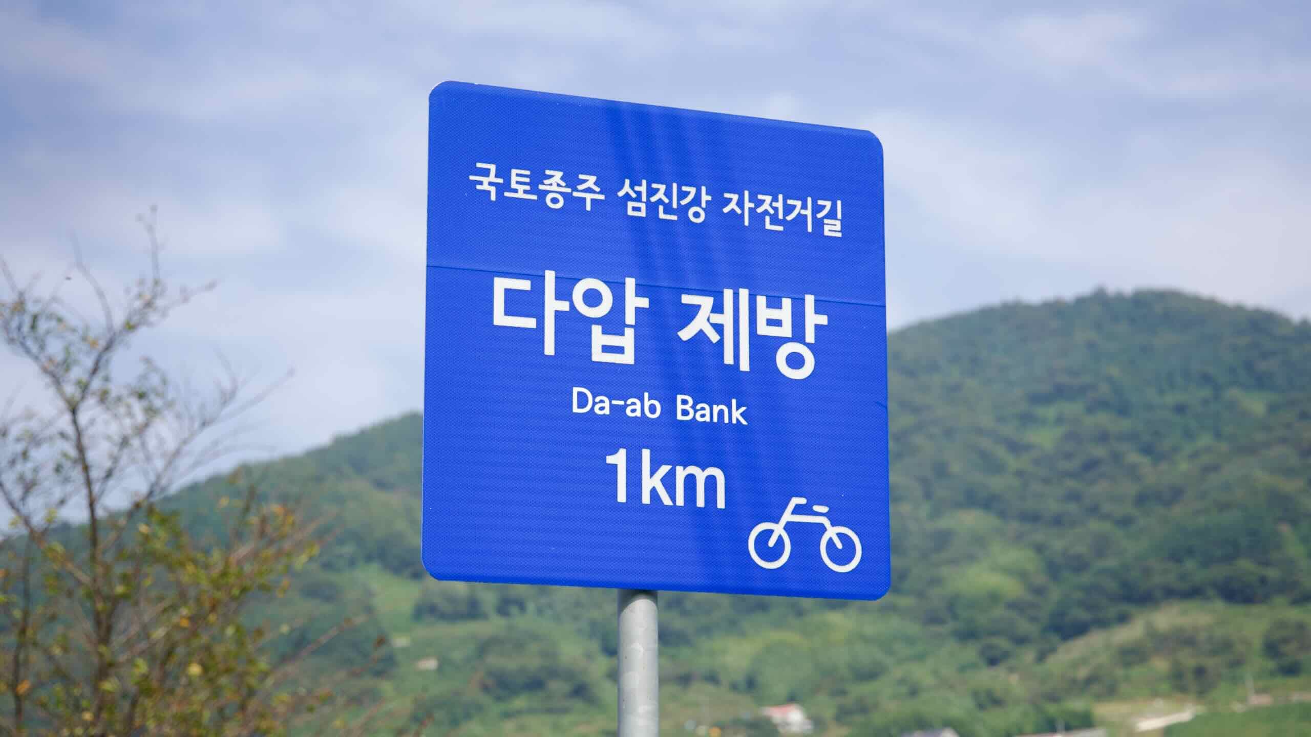
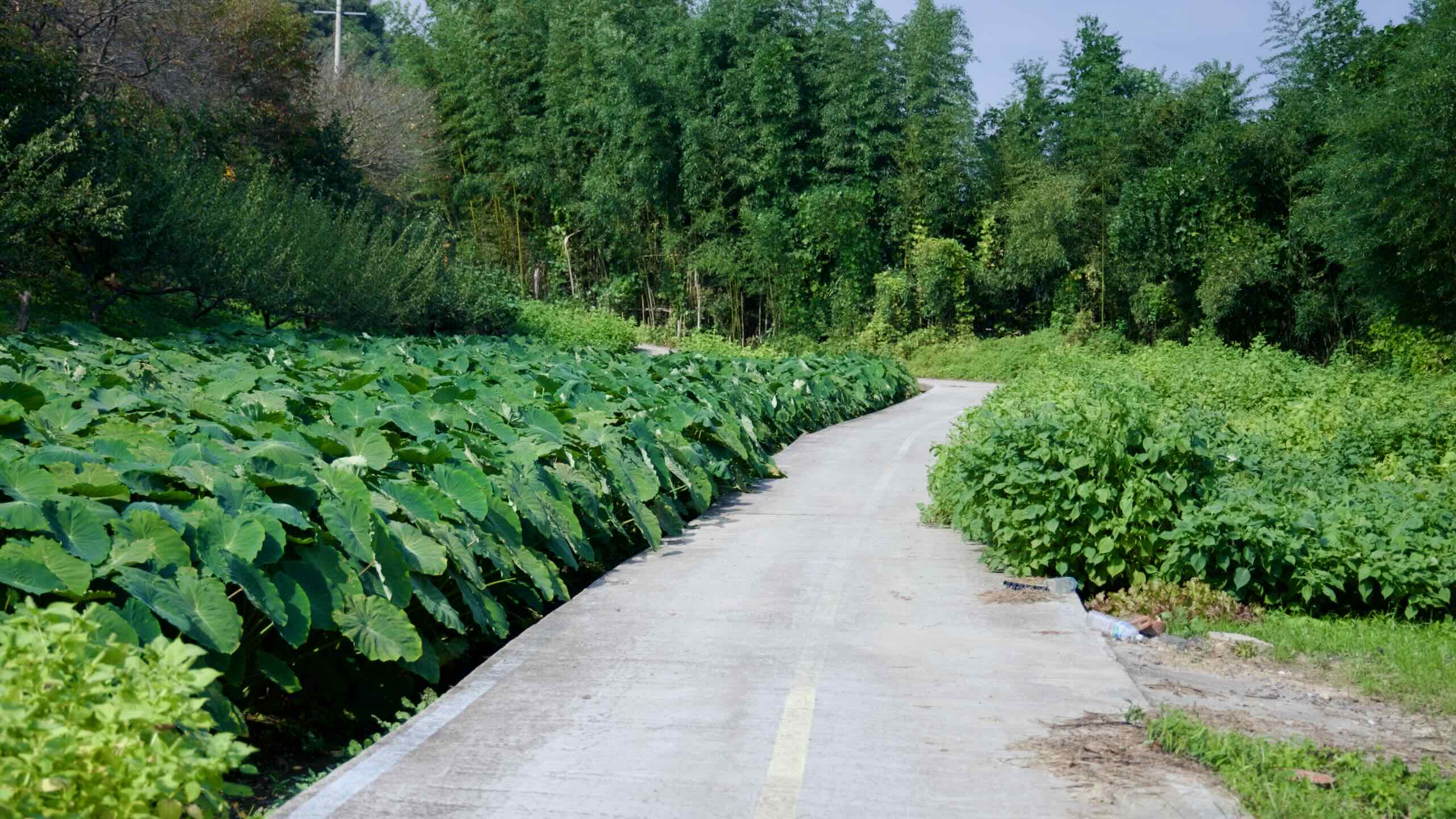
7킬로미터 정도 지나면 차량 도로에서 벗어나 농민과 자전거 이용자가 함께 쓰는 여러 갈래의 길로 진입하라. 그늘지고 숲이 우거진 이 구간을 지나면 백운산 아래 계곡에 자리한 작은 마을 다압면(지도) 근처 강둑으로 나오게 된다. 마을에는 오래된 농가, 차밭, 조용한 산골 시냇물이 곳곳에 자리하고 있다. 몇 군데 식당은 있지만 모텔은 없다.
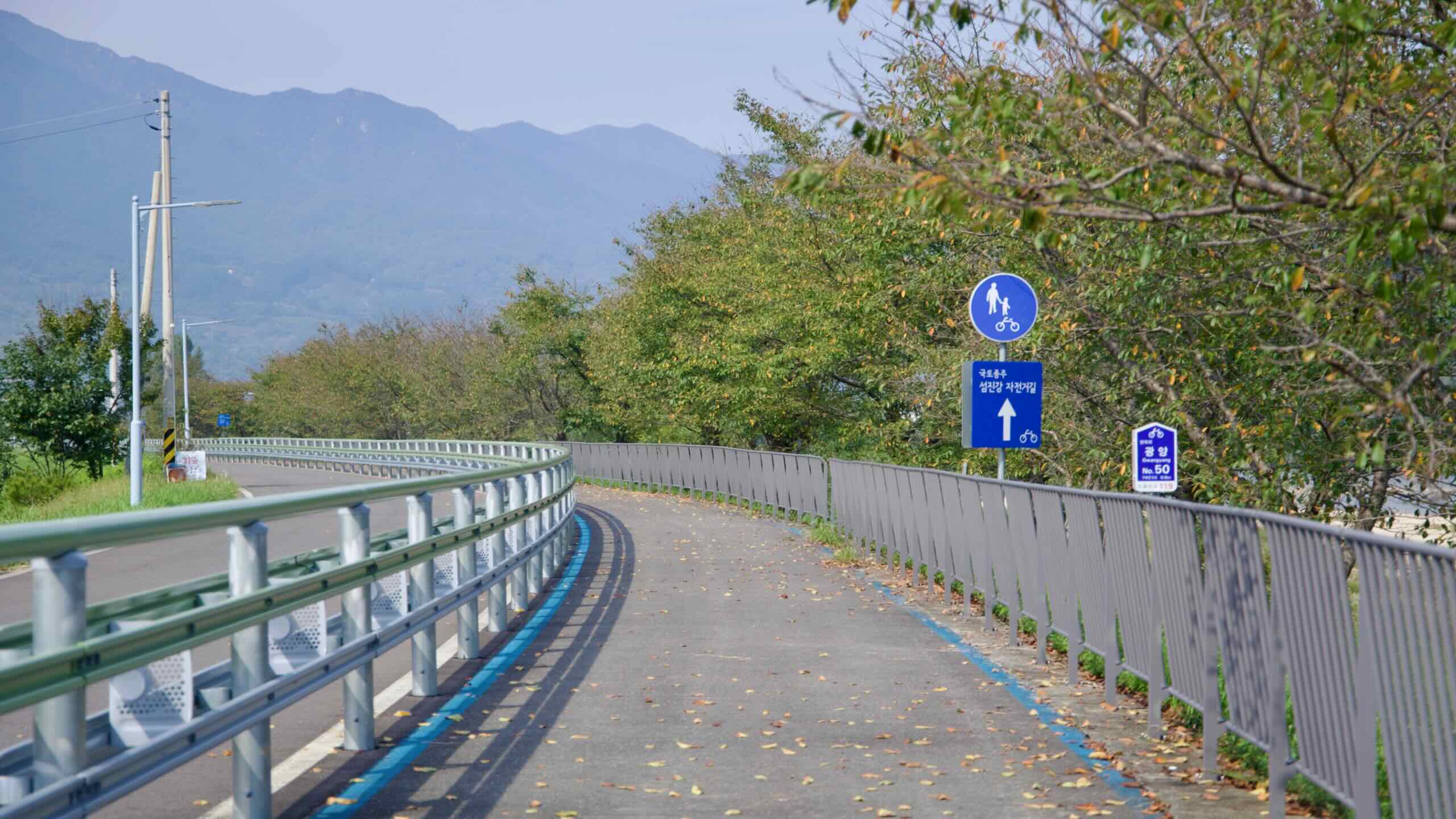
시골길을 따라 계속 가면 강변 자전거길과 자전거 전용차로가 있는 인도를 번갈아 이용하게 된다.
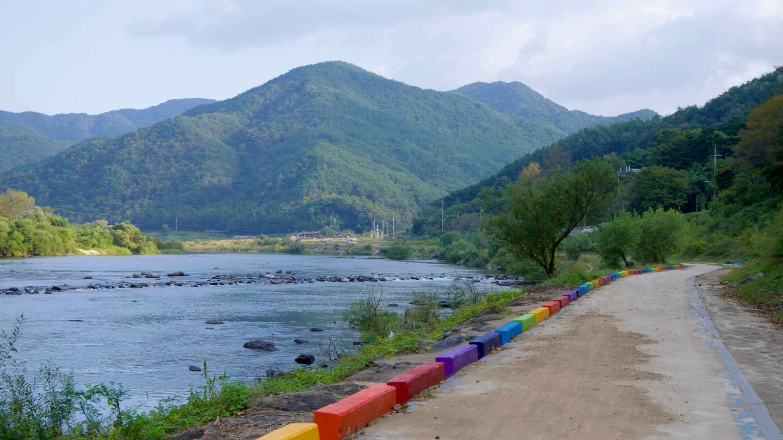
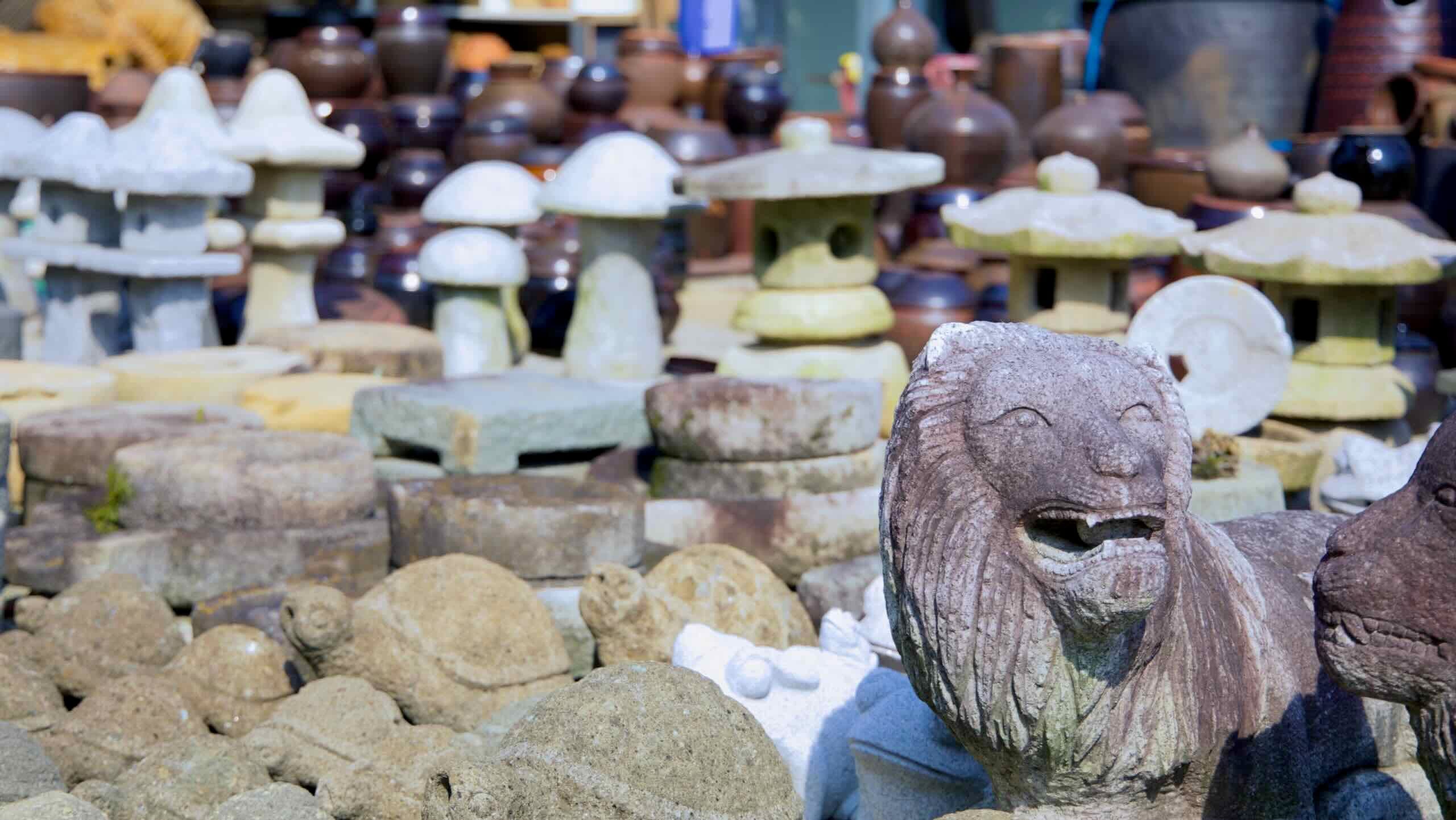
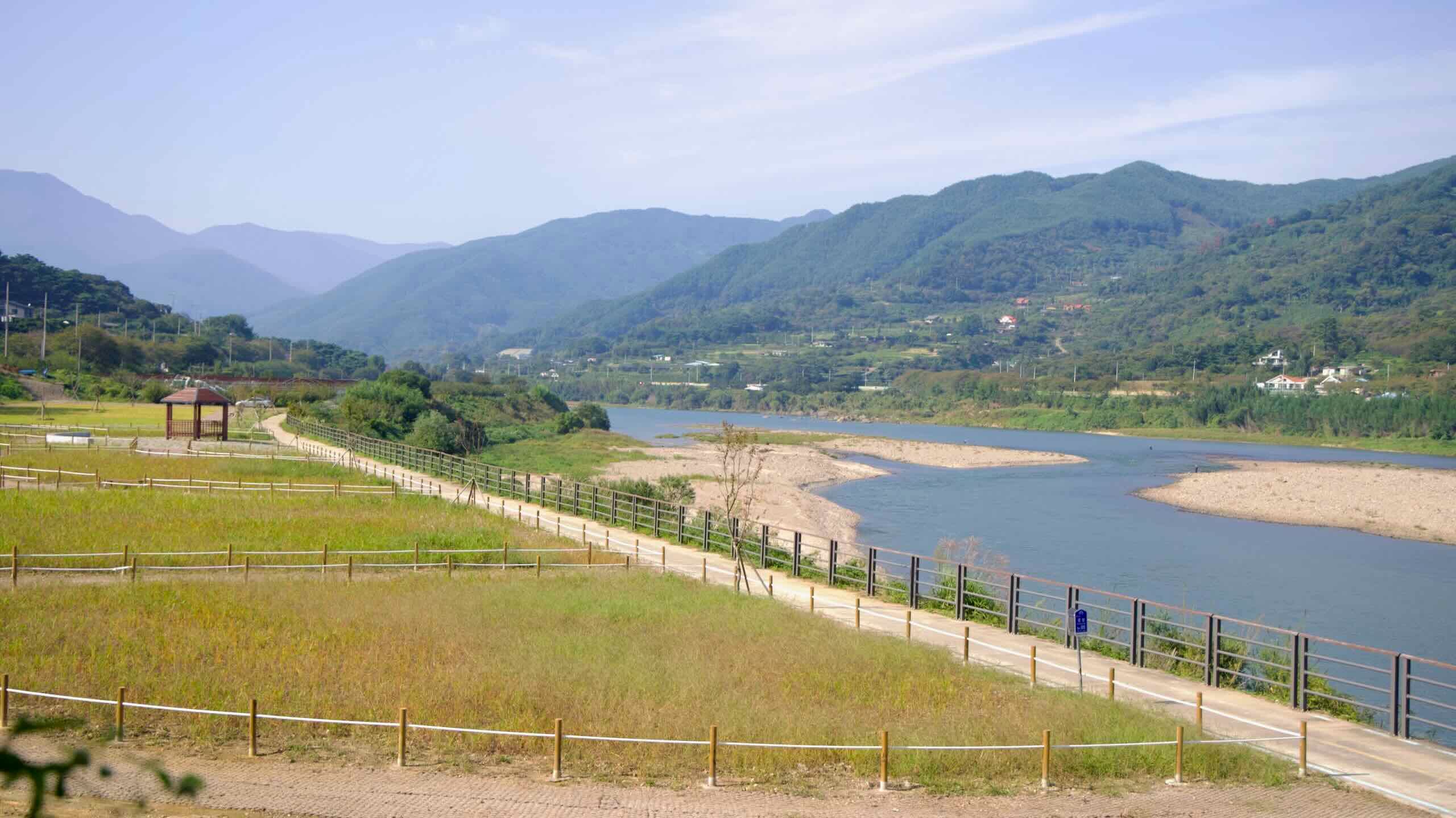
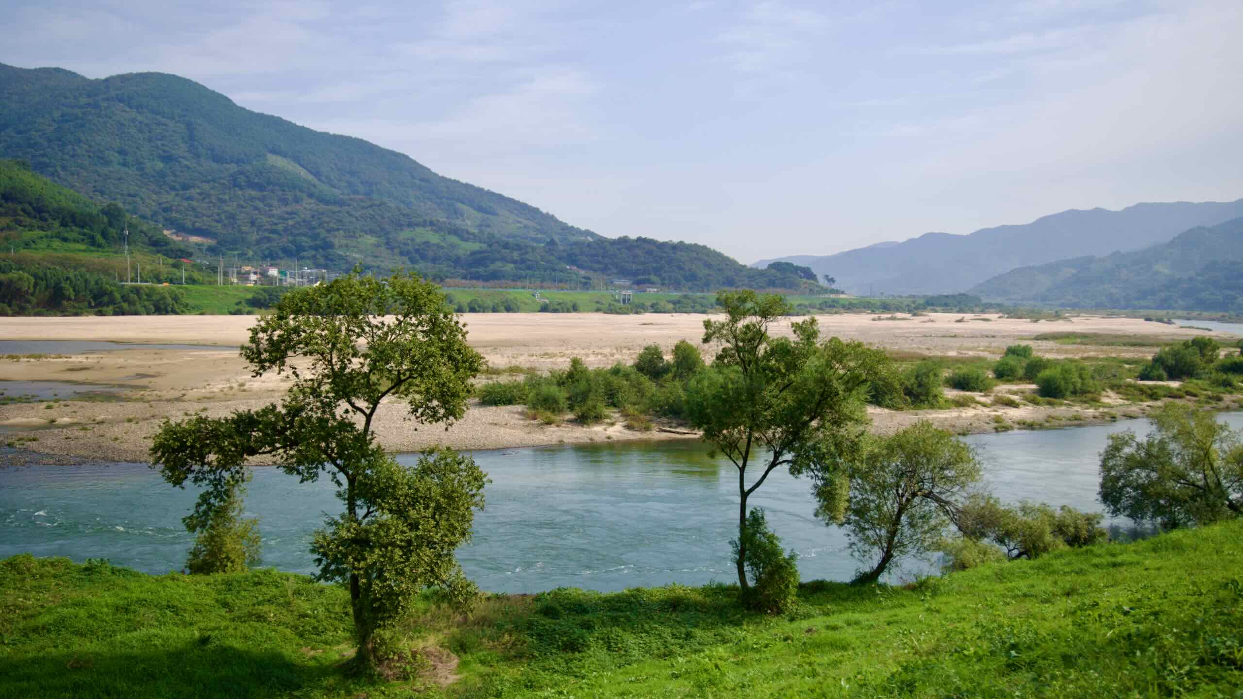
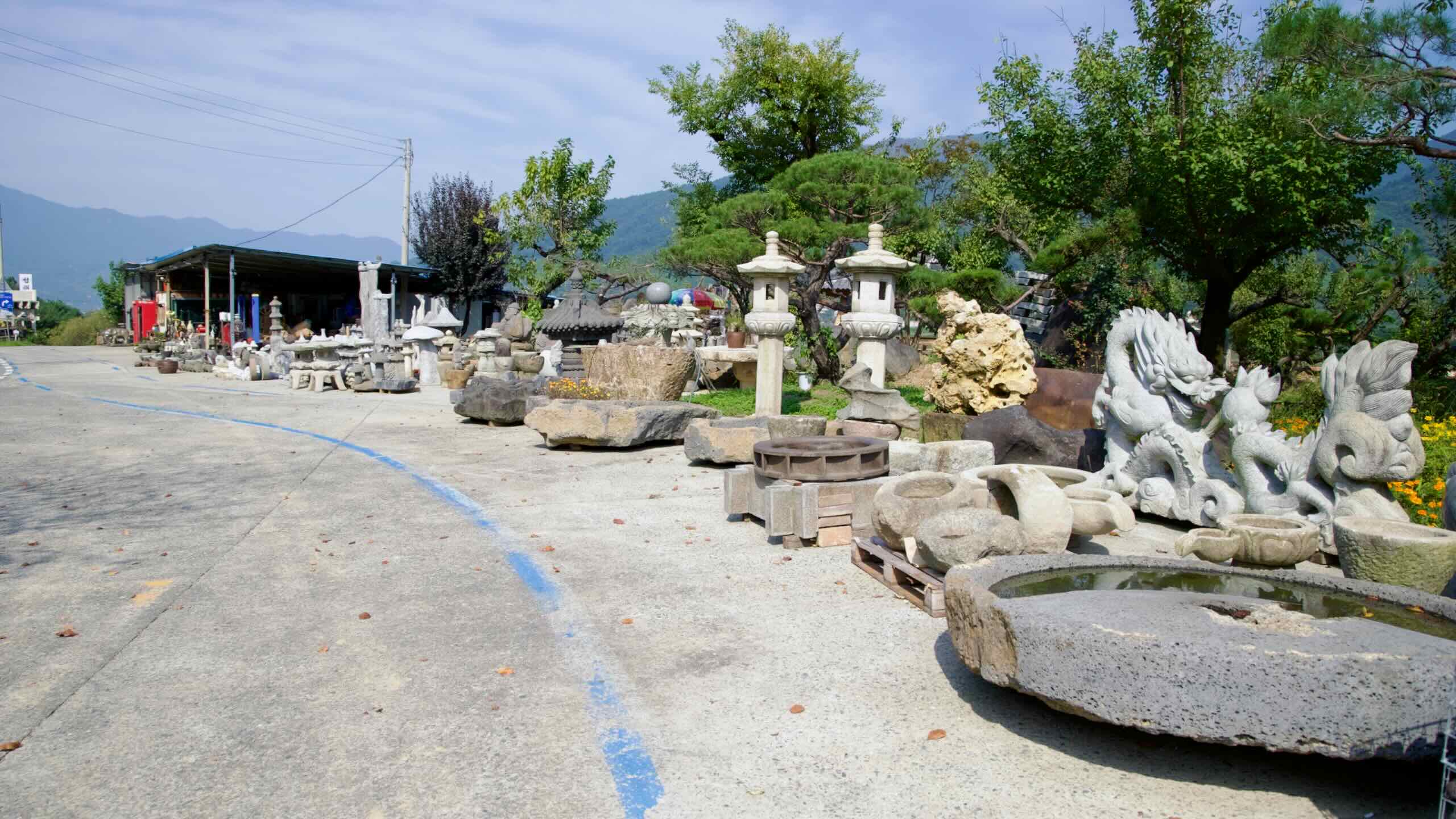
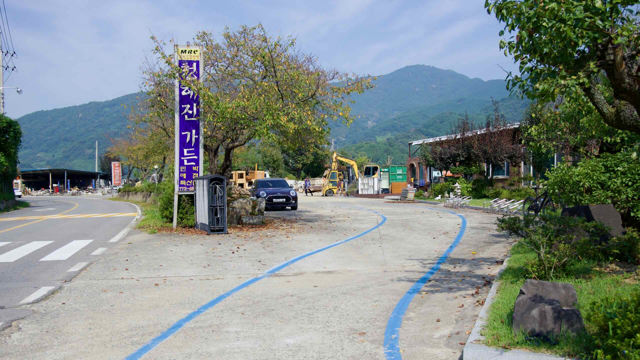
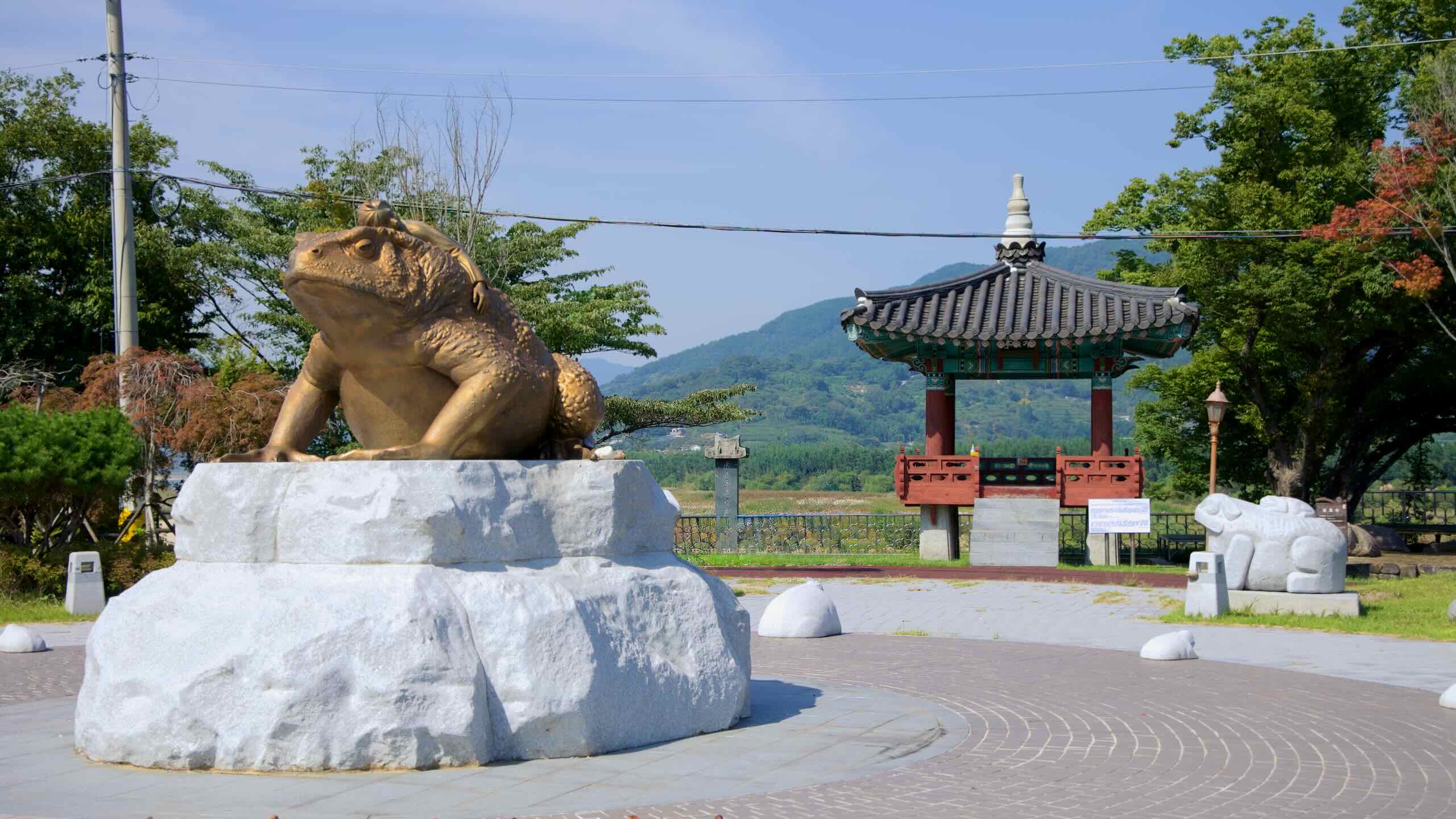
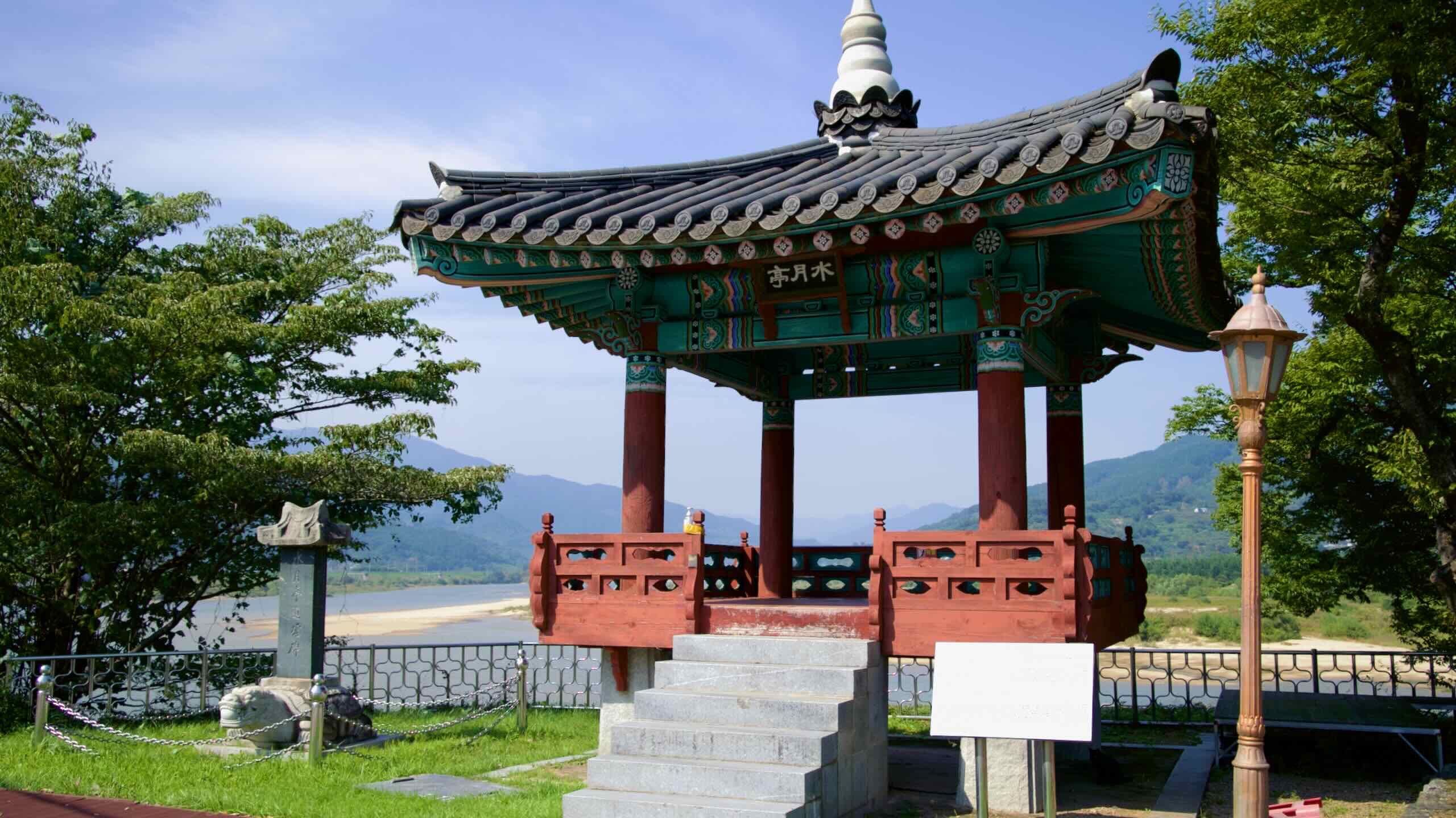
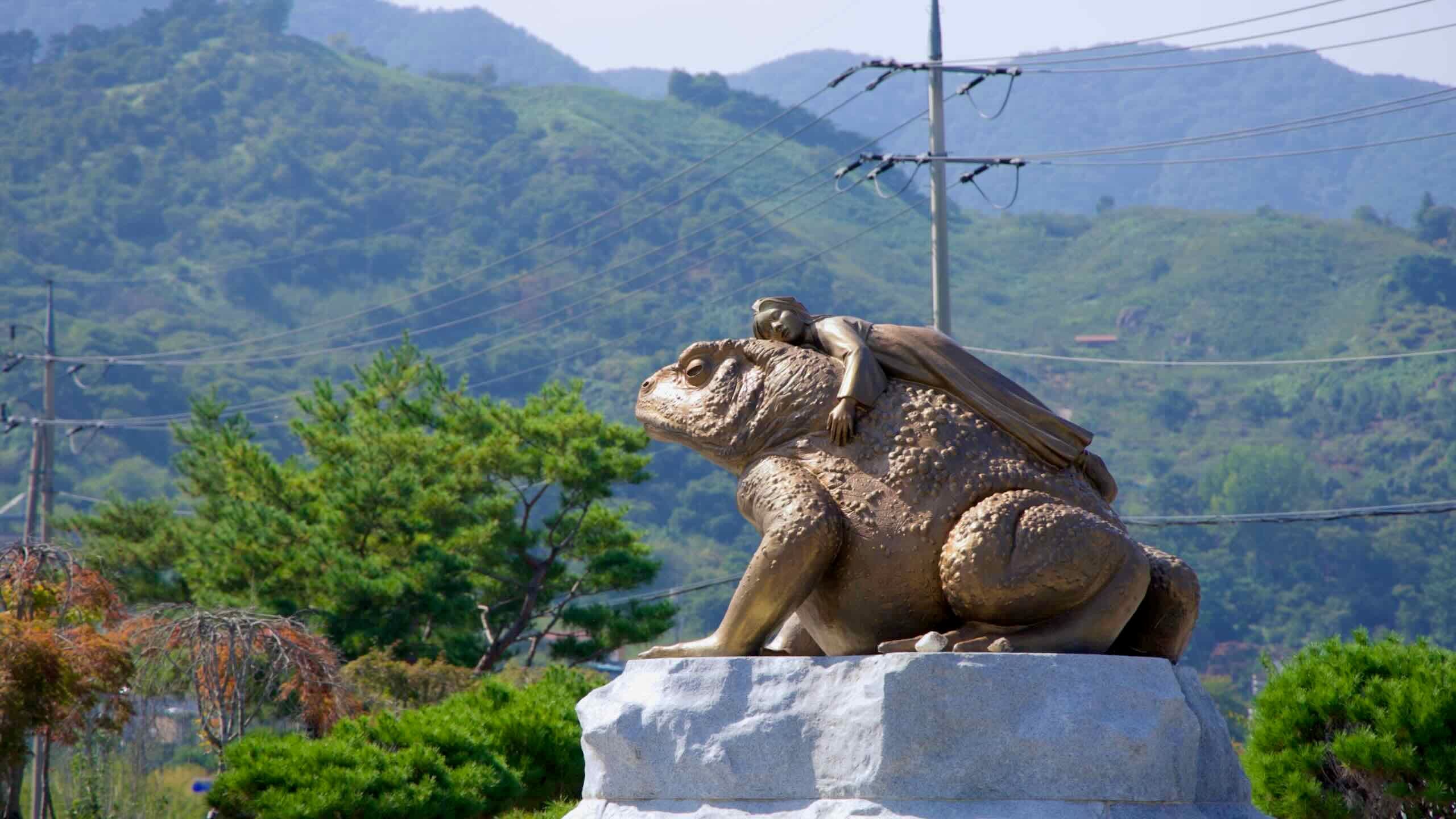
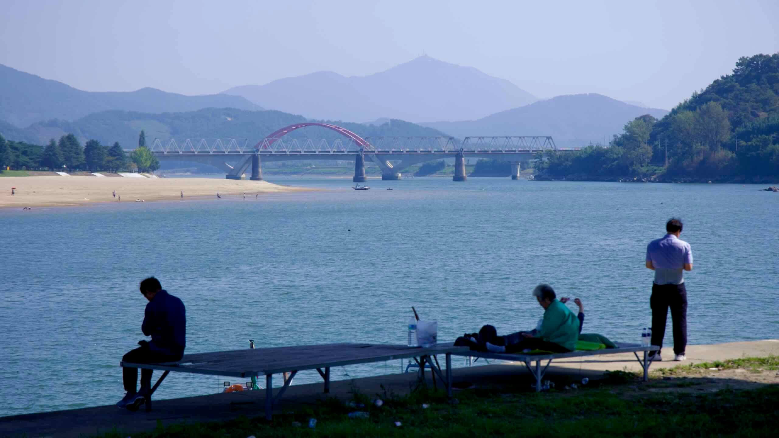
돌 조각상이 가득한 주차장이 인상적인 다온앤틱카페(지도)를 지나면, 강을 따라 굽이돌아 송정공원(지도)에 도착한다. 강변 정자에 앉아 넓은 섬진강이 산악 지형을 가로지르며 흐르는 모습을 감상하라.